Boy, you’re gonna carry that weight a long time.
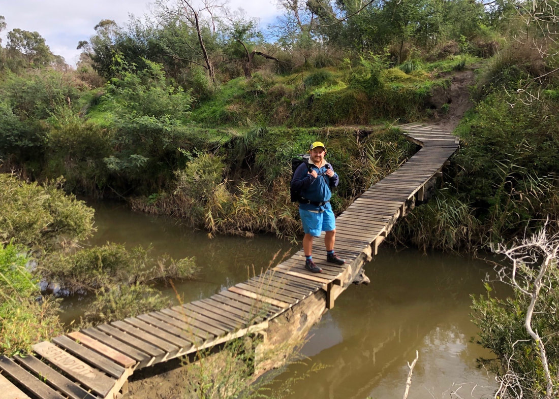
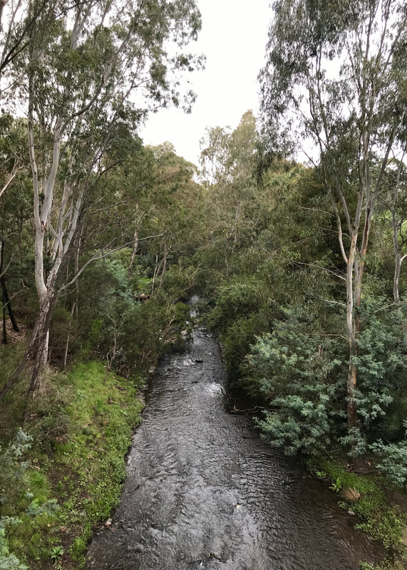
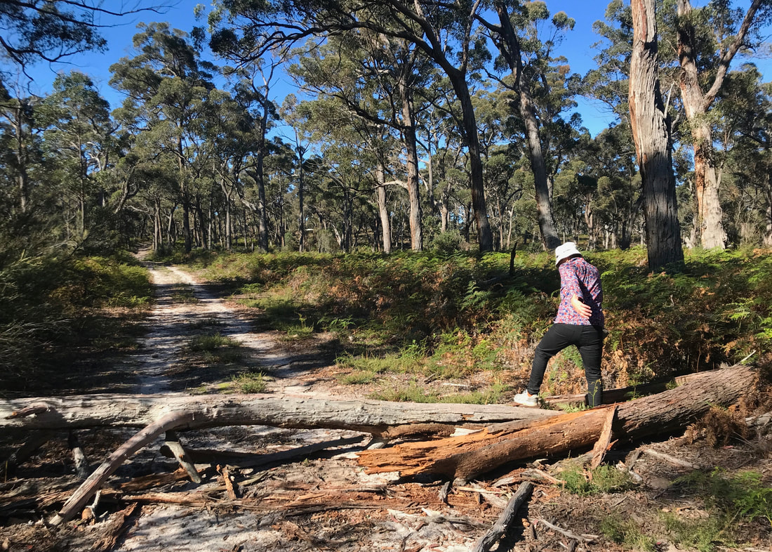
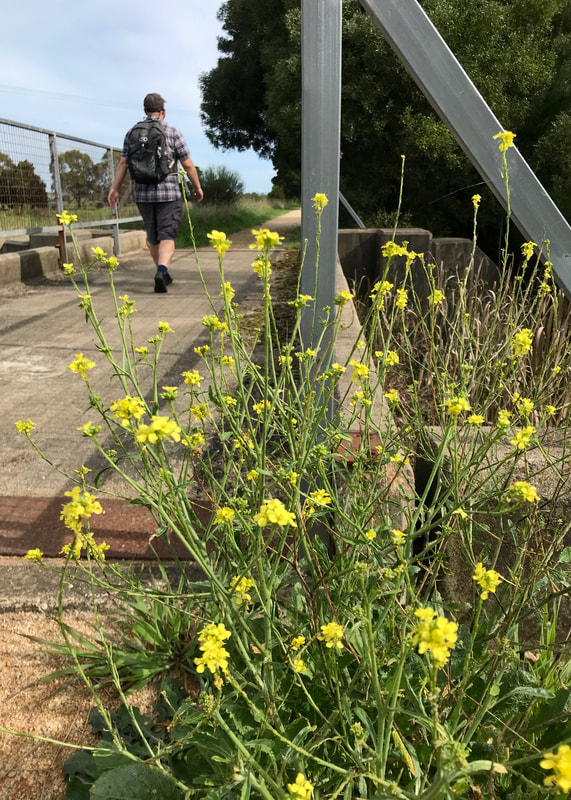
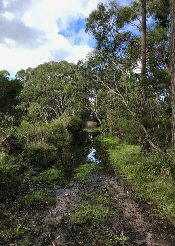
Standing on a bridge that's been built on a fallen tree in Plenty Gorge (note the name on the left). Photo by Emily.
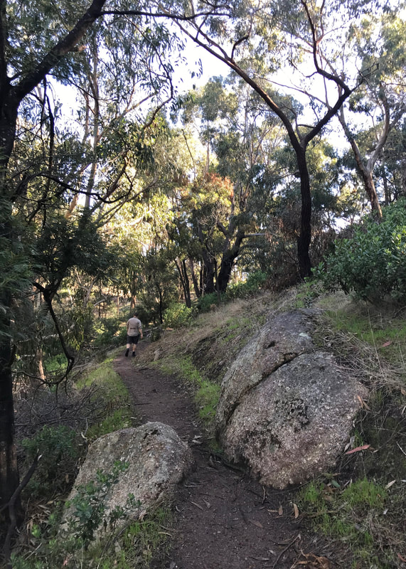
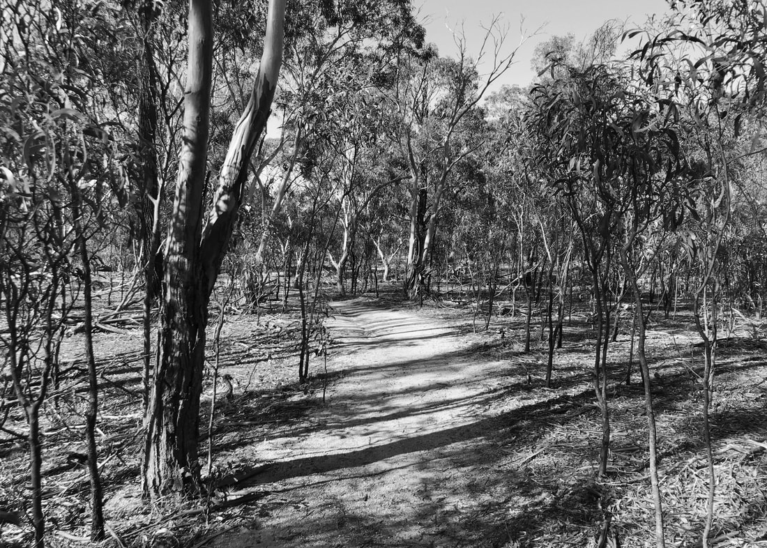
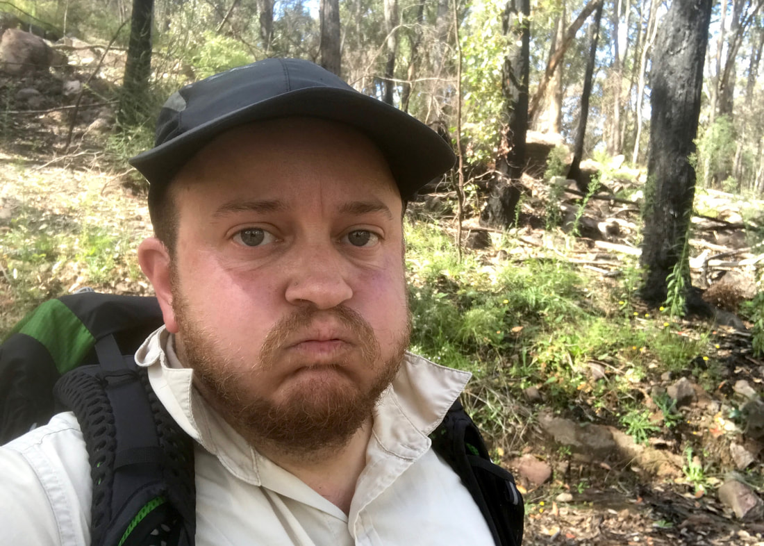
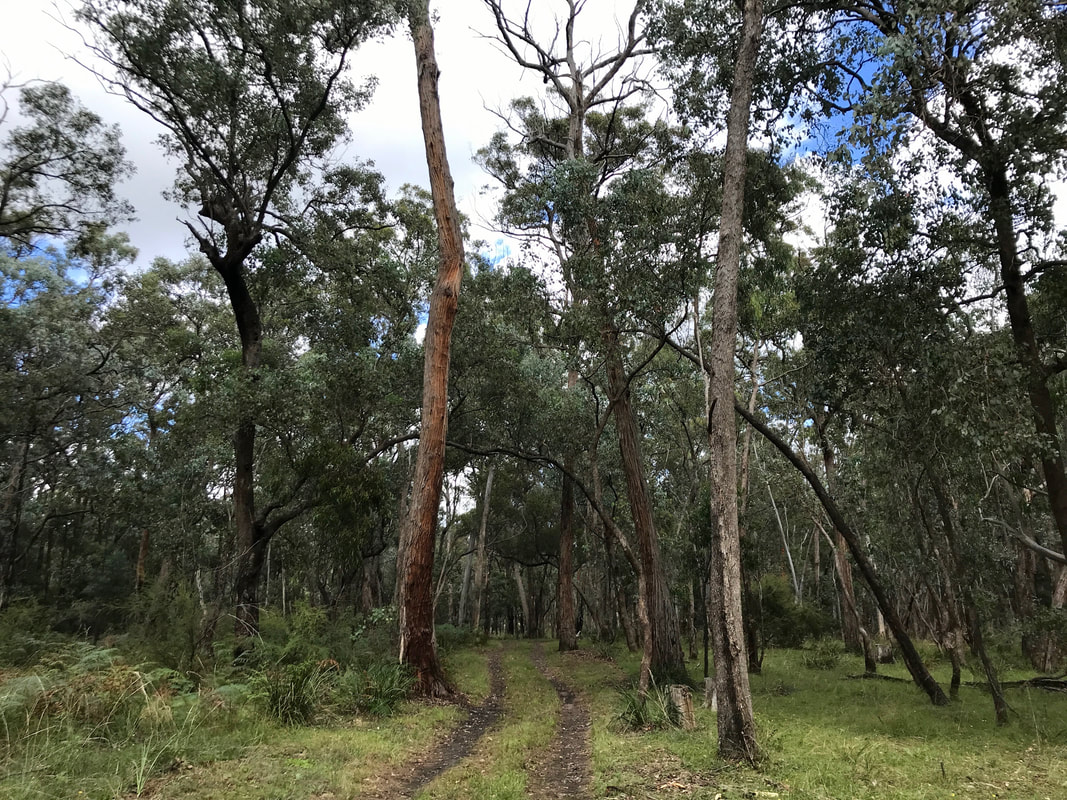
I didn’t get a chance to do any big walks for a while after the one in the hills. We’ve been busy. We bought a house (yay!), then we were in Melbourne for Dan’s temp job (yay!) and the weather was fairly miserable (not yay!). Instead of beating myself up about not getting the distances in, I decided to work on something else: carrying my pack.
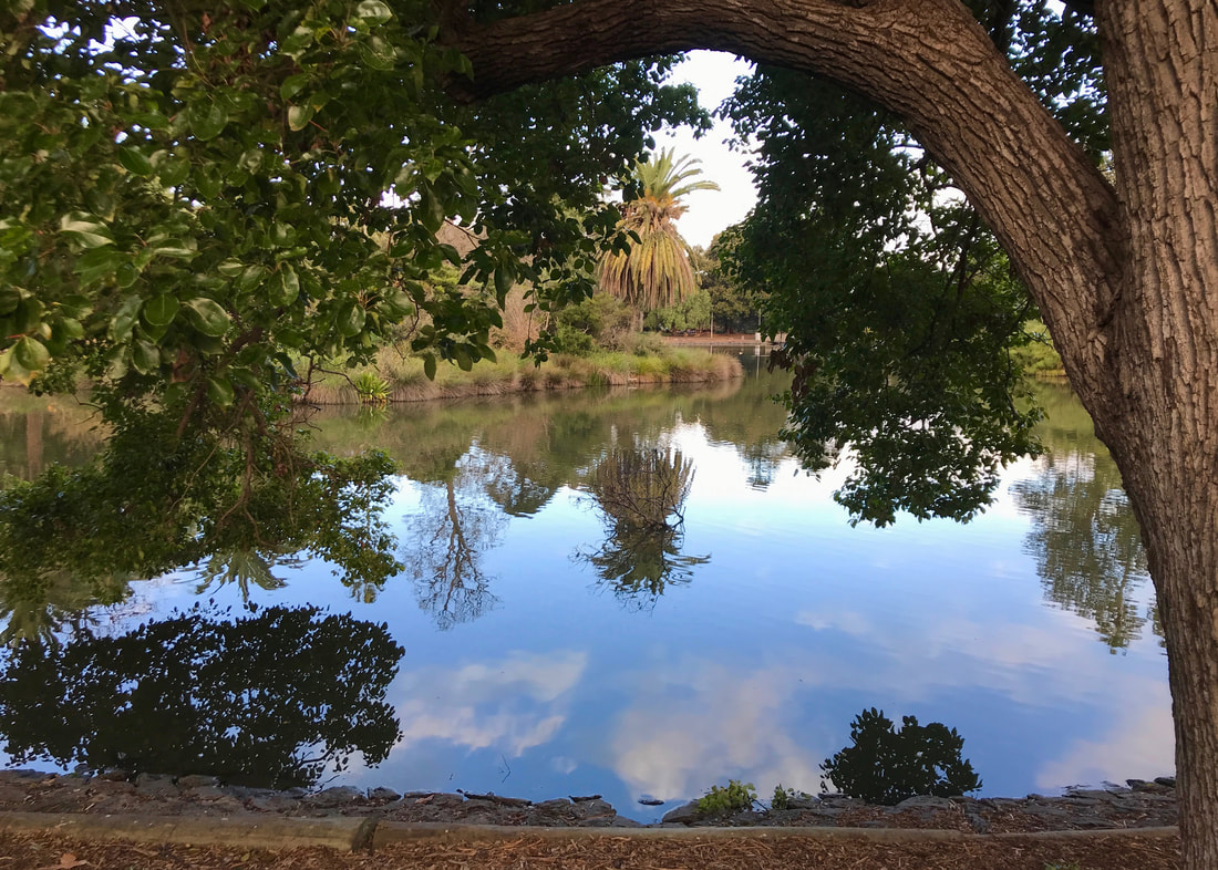
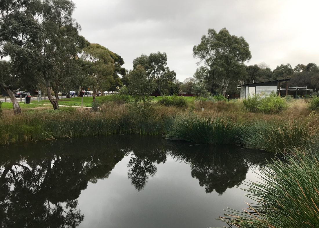
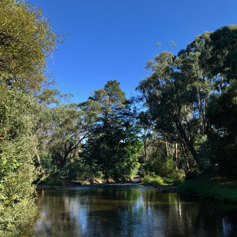
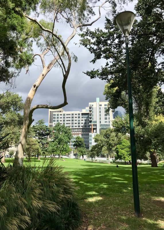
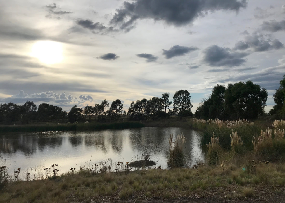
The lake in Queens Park, Essendon. I walked through here to meet Dan after work.
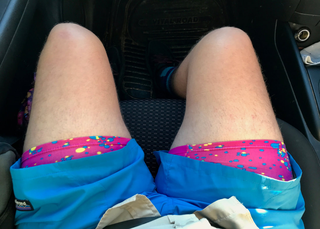
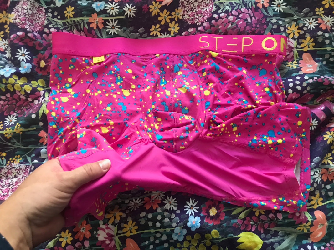
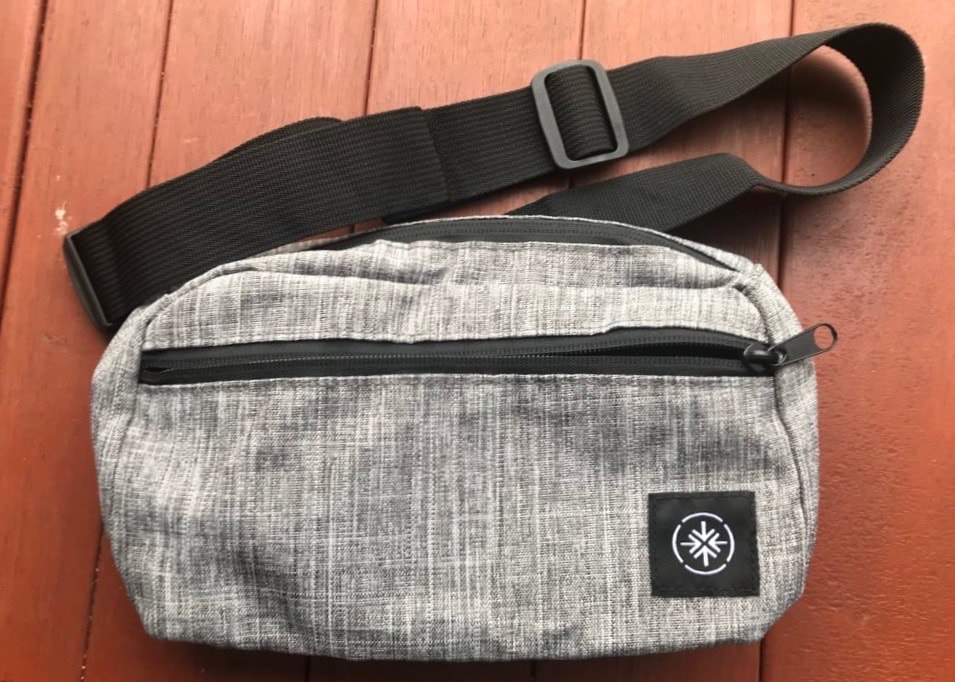
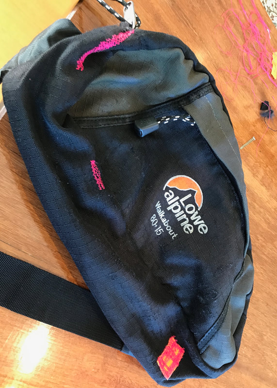
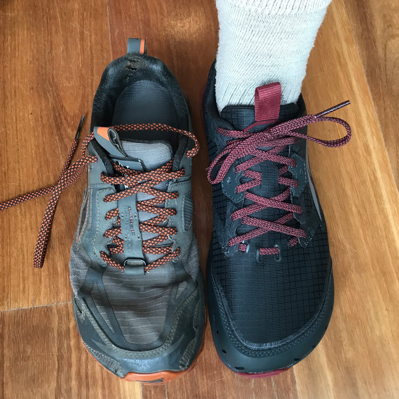
I’ve been getting bits of gear together, weighing everything, and trying to figure out how, exactly, I have managed to create such a heavy load. My tent weighs less than 500g, for goodness’ sake! Of course, the answer is boring: everything adds up. Every extra item - a second hanky or bandanna, multivitamin tablets, an extra piece of cutlery, a pair of thongs as camp shoes - contributes to overall weight. Then I add food for 3-6 days. And then I fill up my bottles and bam! - an extra 2kg just for fun.
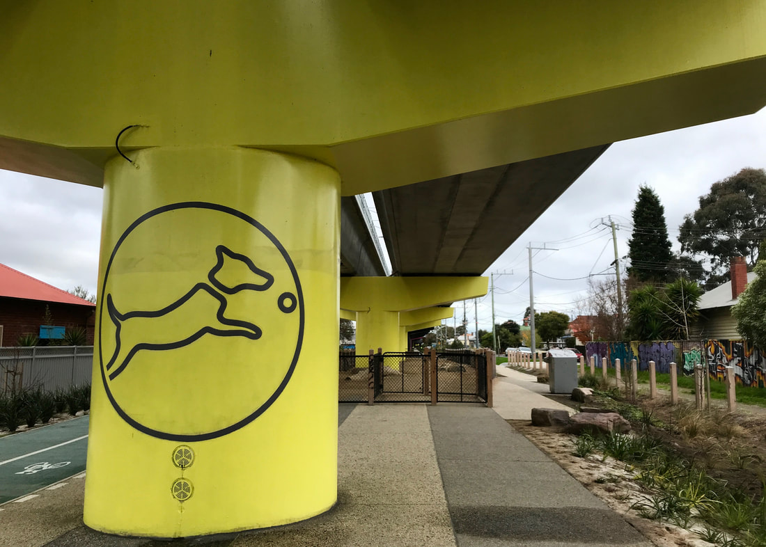
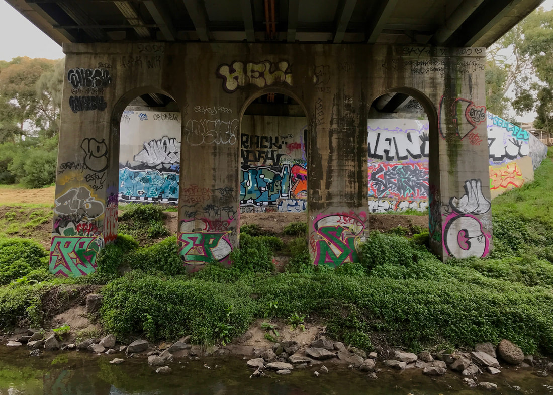
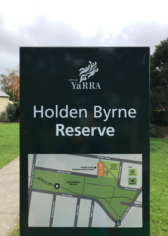
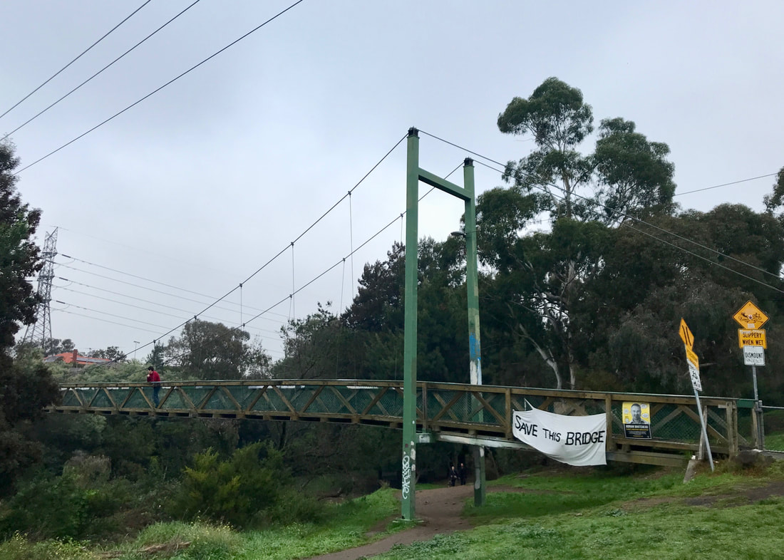
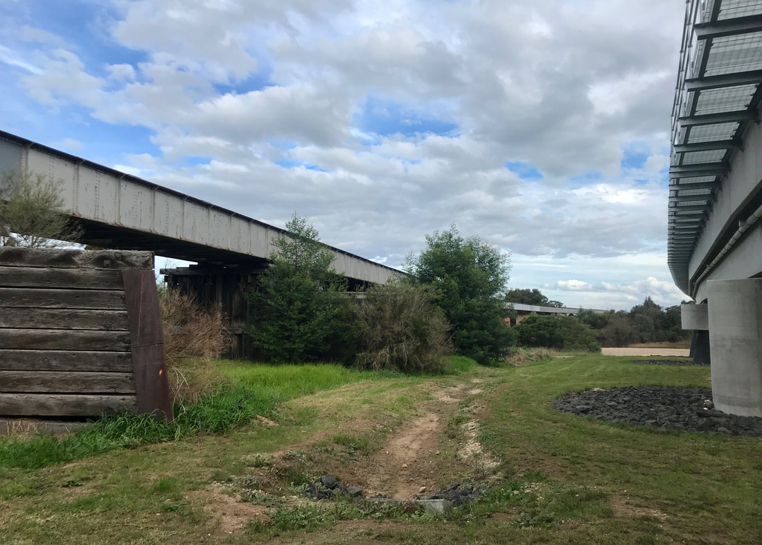
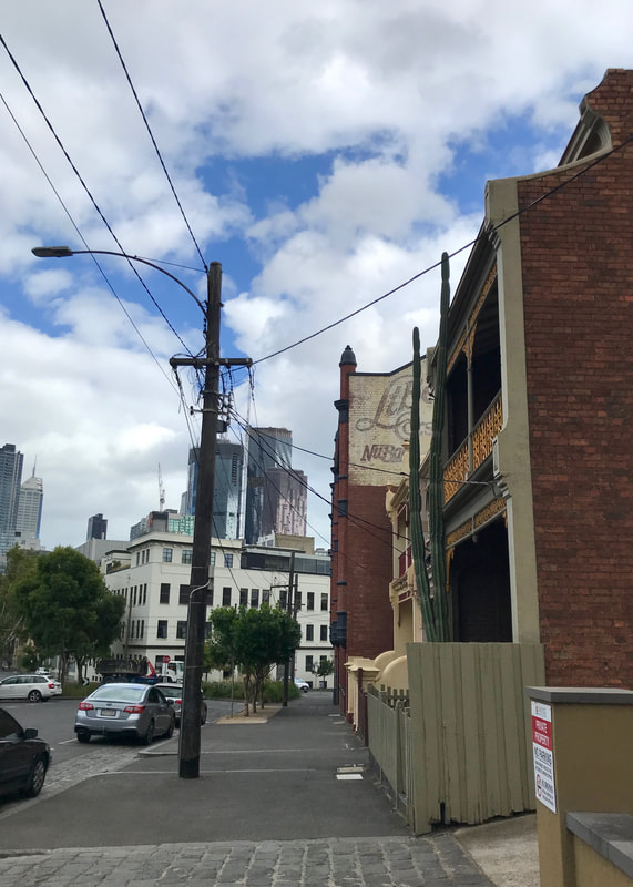
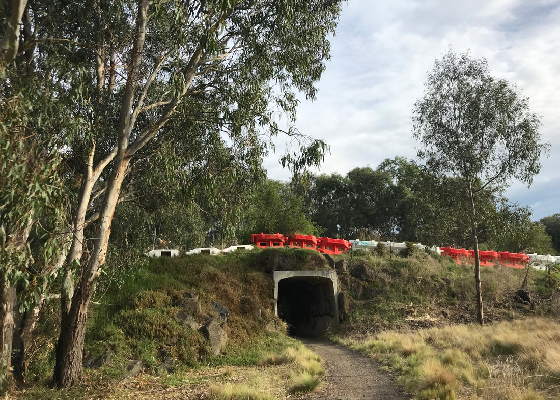
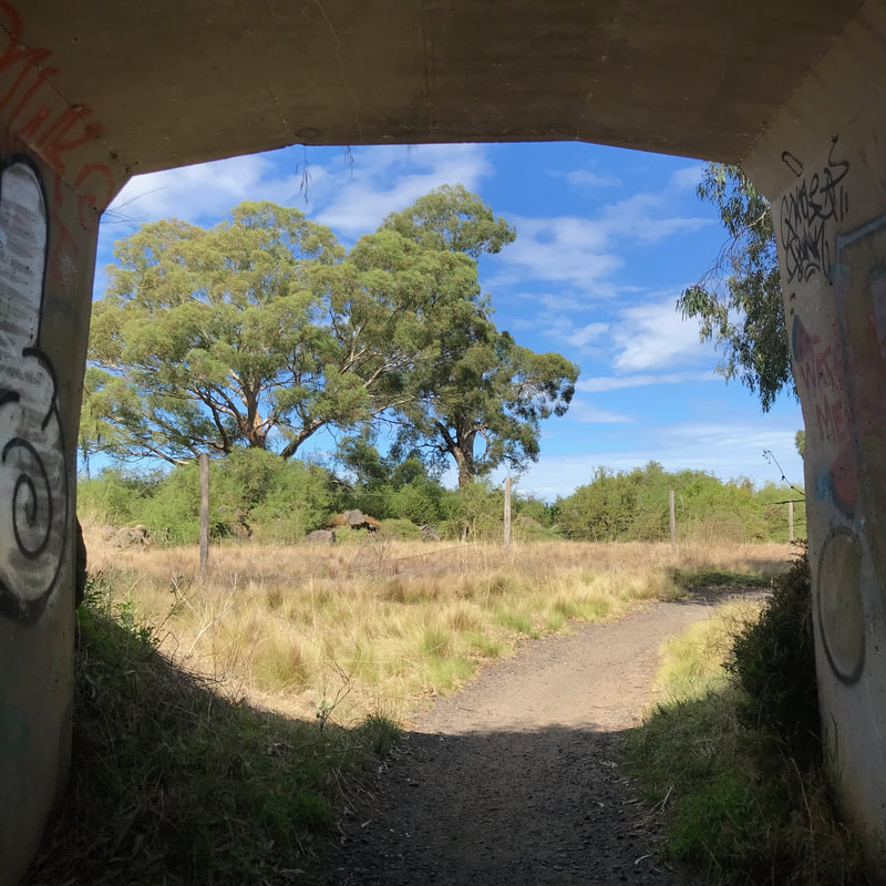
Under the Upfield line, where it's been raised and new paths, parks and community areas built beneath.
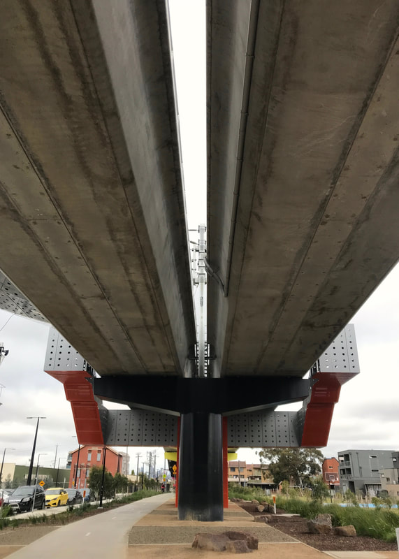 Under the same lines on the same walk. | 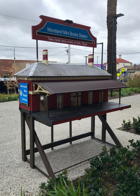 A scale replica of the old station, with a mini library in it. |
Now, once I’ve got everything I need (or want) and have done a final weight analysis, there will be things that I decide not to bring, or will bring less/fewer of, or will make fill the function of other items. But all told, I think that when I’m fully loaded with two (or more) litres of water and food for 3-5 days, I’ll be carrying somewhere in the realm of 15-17kg. This might not sound like much, and probably a kilo of that will be in my bumbag, but let me tell you, it can feel like a sack of bricks! This is especially the case because I find my backpack is really only comfortable for carrying weights below about 13kg. Other people say the Osprey Exos 48 is very comfortable to 15kg or 18kg, but that’s not true for me.
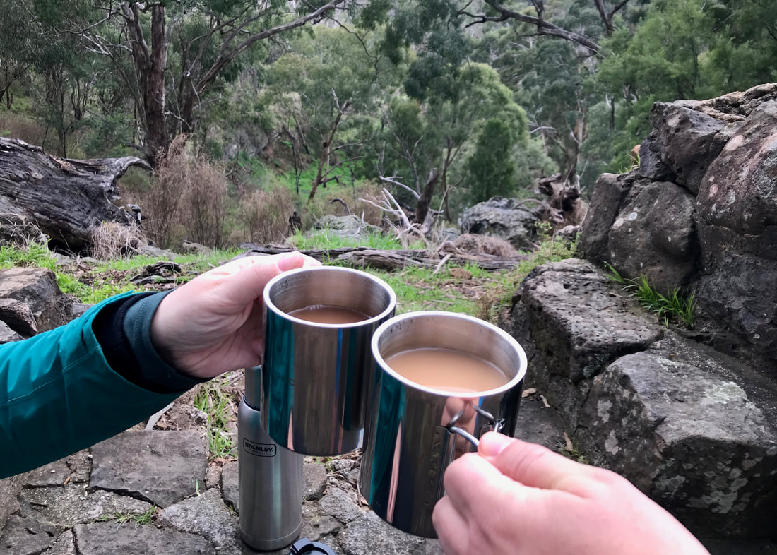
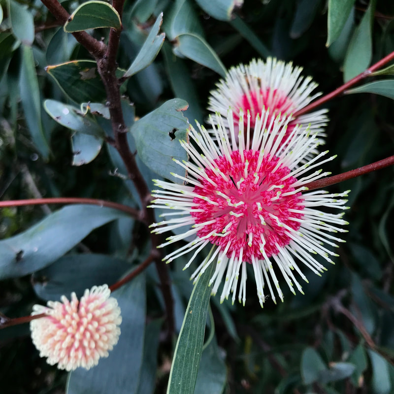
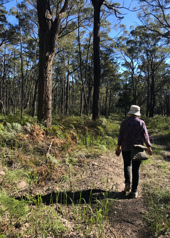
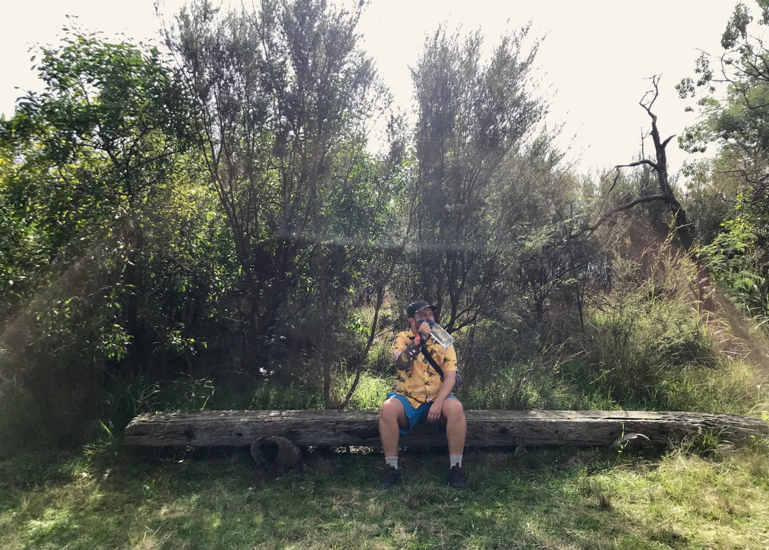
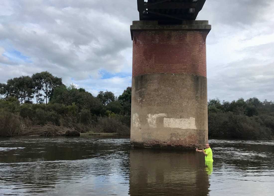
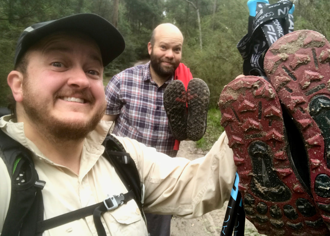
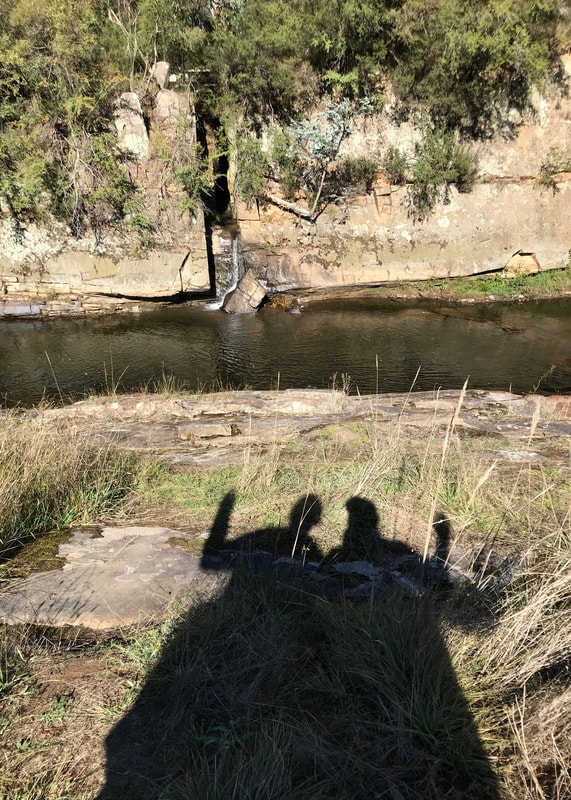
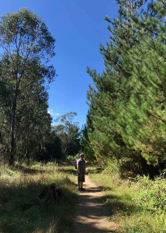
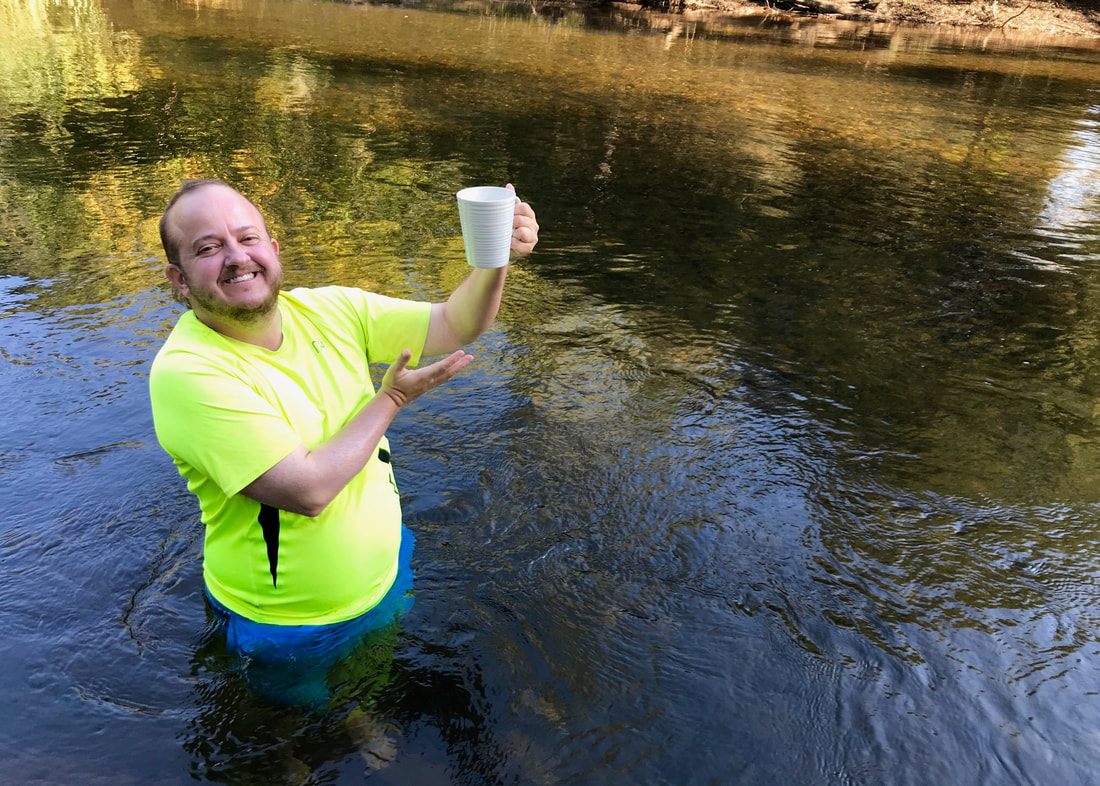
Cheers! Emily and I sharing a cup of tea at Plenty Gorge.
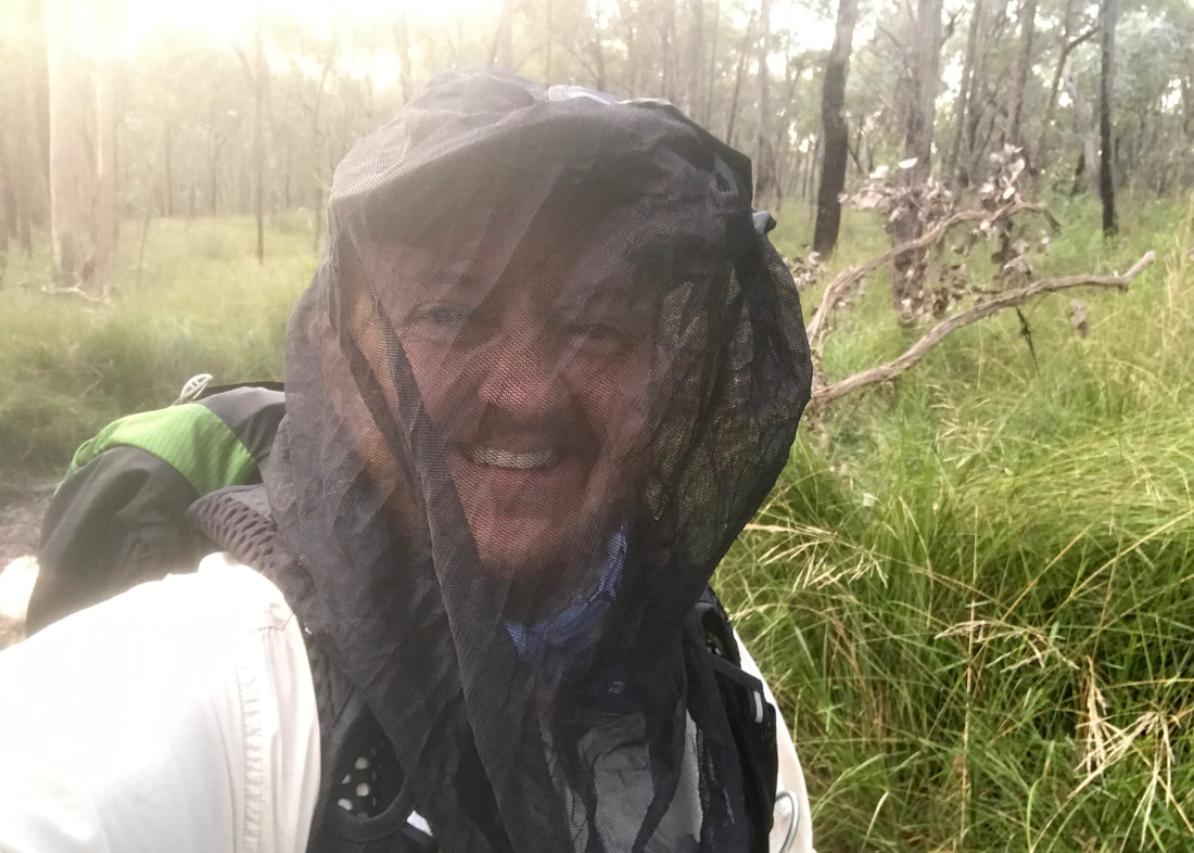
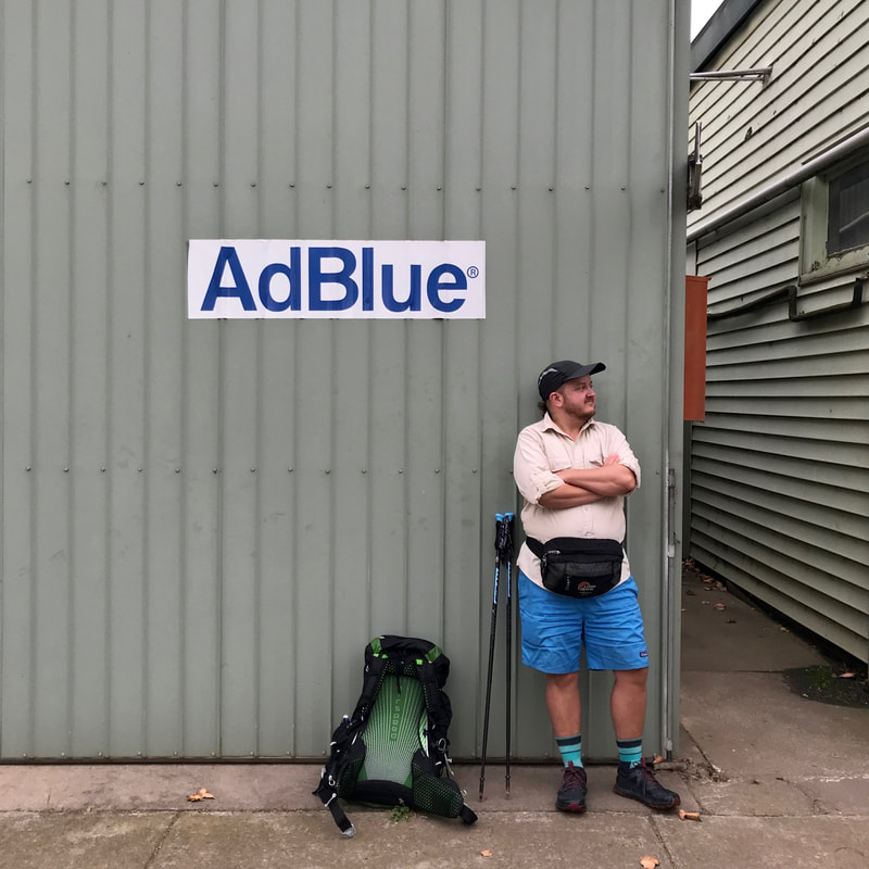
So, in order to get used to carrying a heavy load, I’ve been... carrying gradually heavier loads. Makes sense, right? I’ve packed my backpack with our heaviest tent (for bulk), then piled in a few litres of water, padded with some extra bits and pieces to stop the bottles and thermoses clunking and rattling. I’ve left some of the usual things in my bag - first aid kit, sunscreen, insect repellent - and it usually brings the total carry up to around 10-13kg.
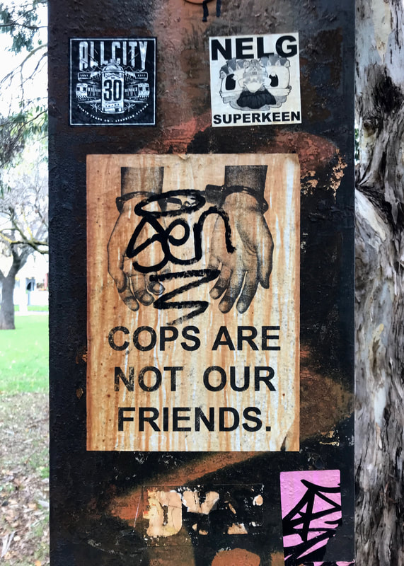
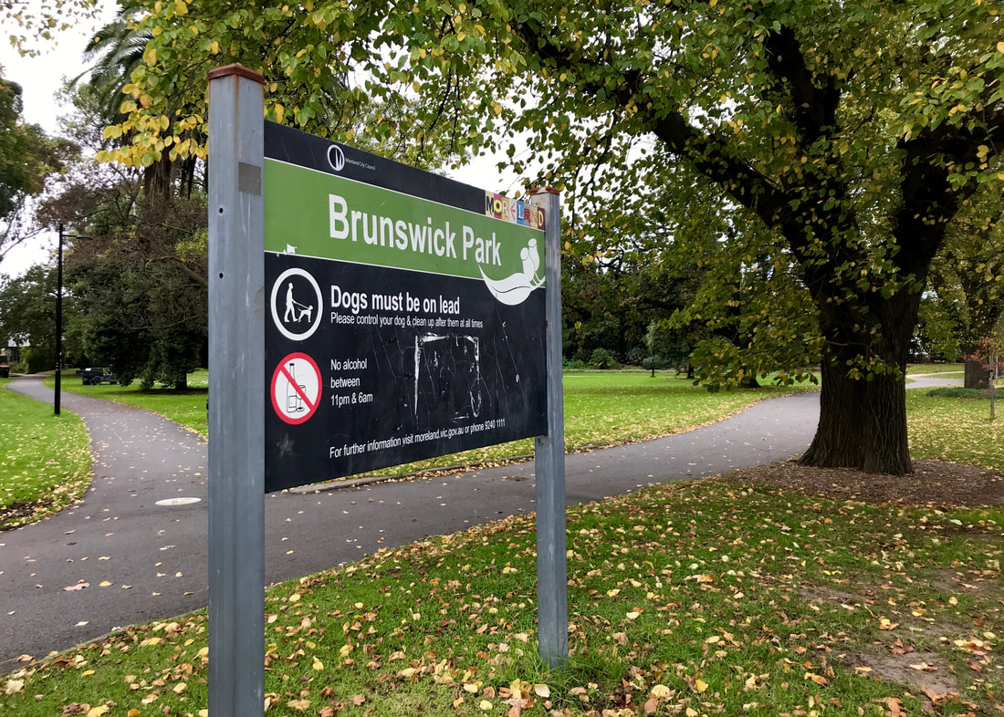
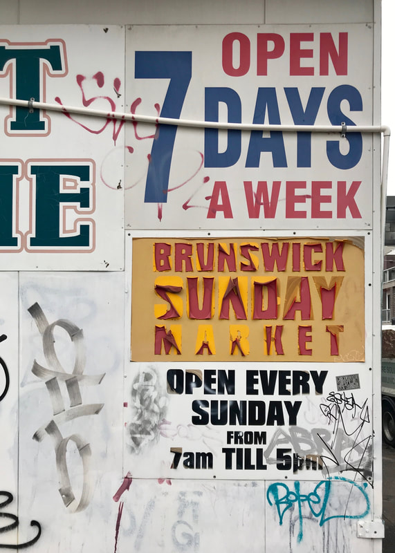 Old signage on a walk through Brunswick. |  Some good advice crossing the rail lines in Brunswick. |
The first time I did this, I almost keeled over and had to take one of the thermoses out. It has been a long time since I’ve carried this much. In the UK, I was used to doing overnight or shorter walks, with minimal equipment and pubs on hand for lunch. That’s not quite the deal on the Heysen Trail. I needed to harden up a bit. But I needed to harden up softly - I didn’t want to injure myself.
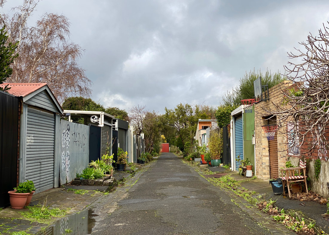
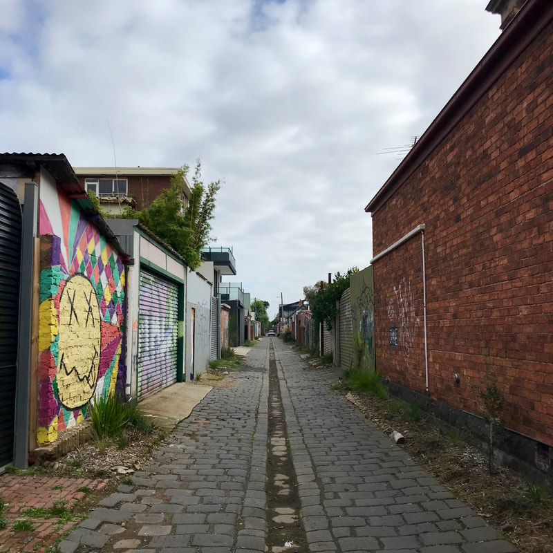
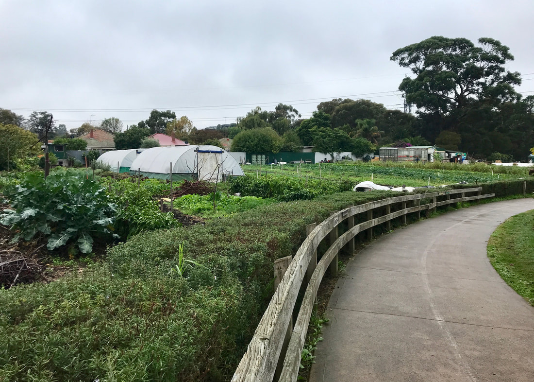
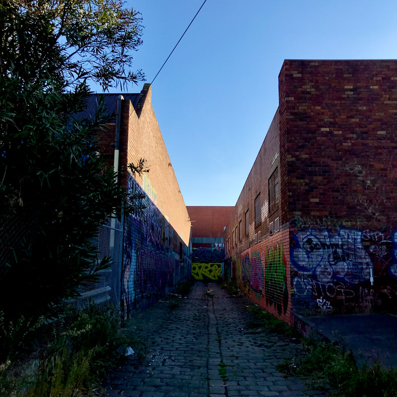
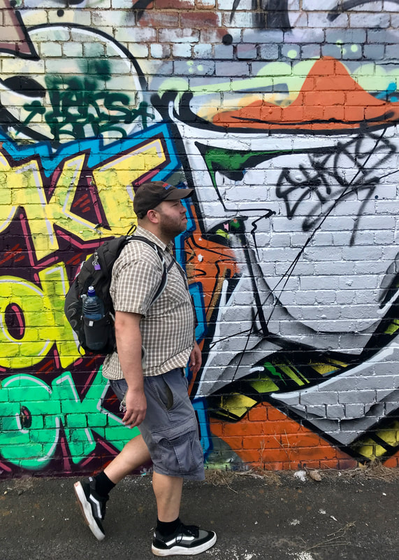
A well-used, wide alleyway in Brunswick, on a walk to Ceres.
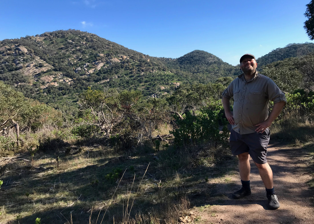
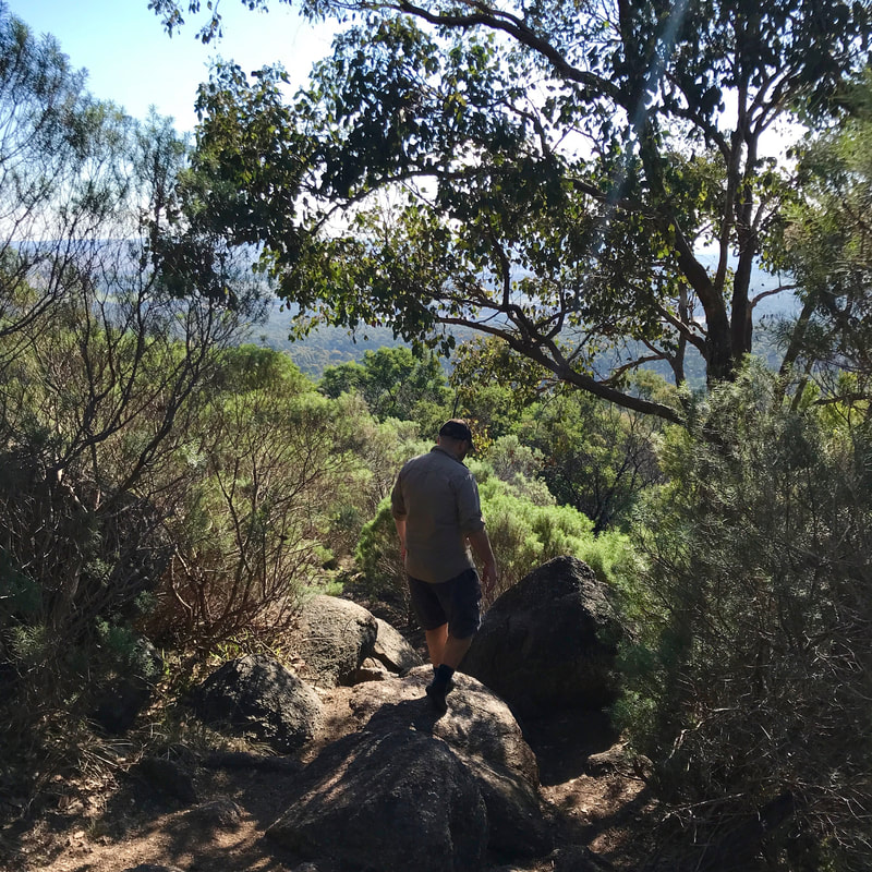
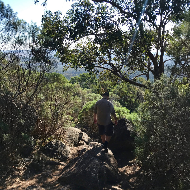
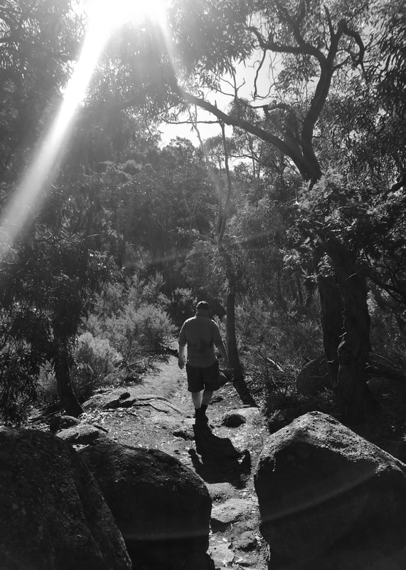
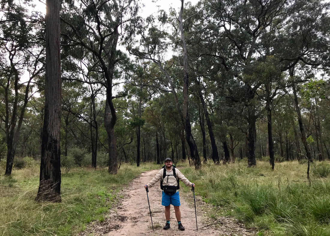
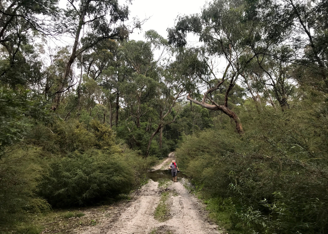
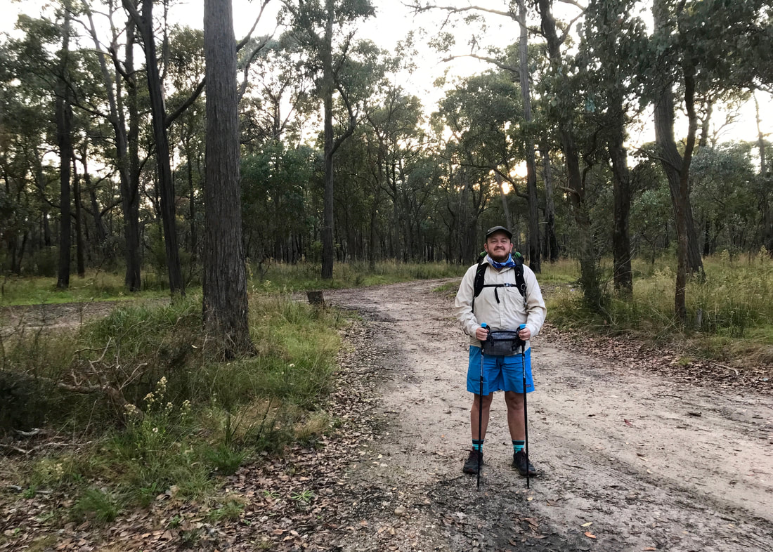
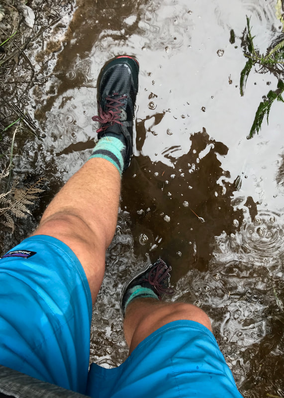
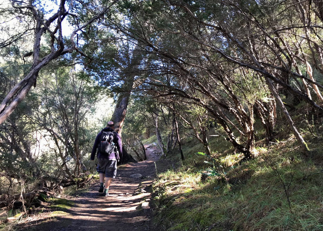
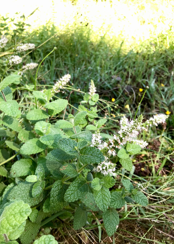
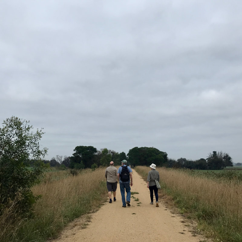
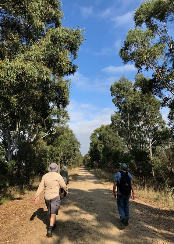
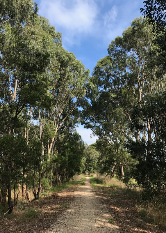
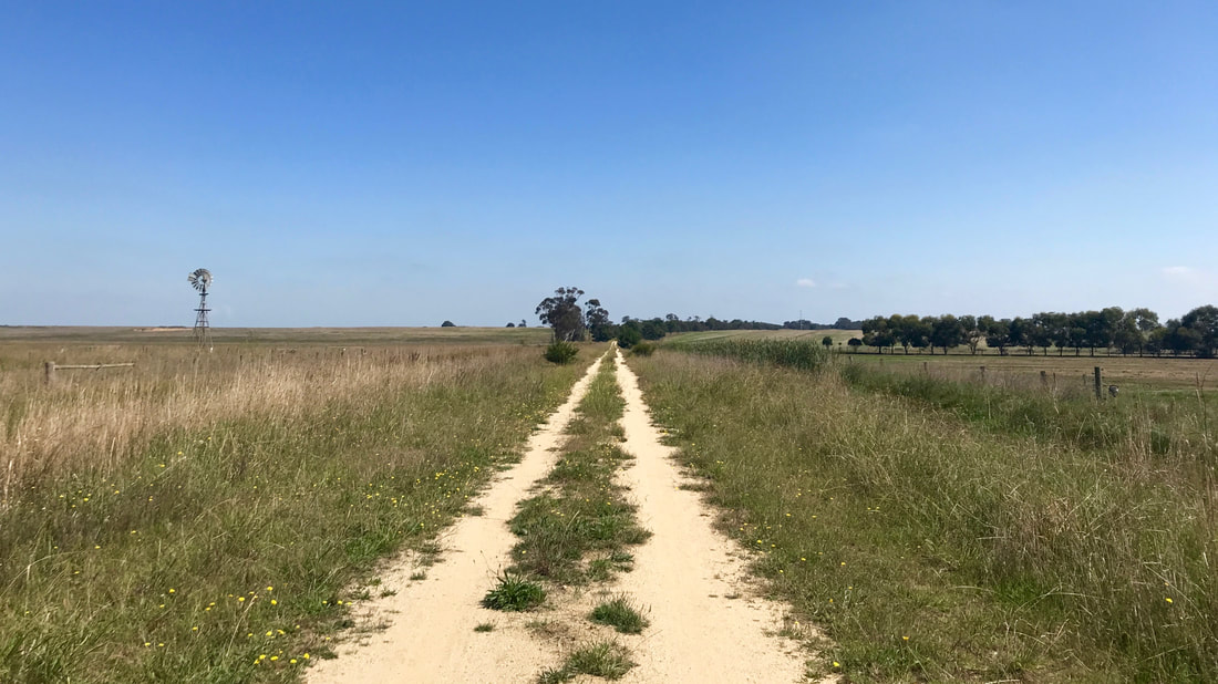
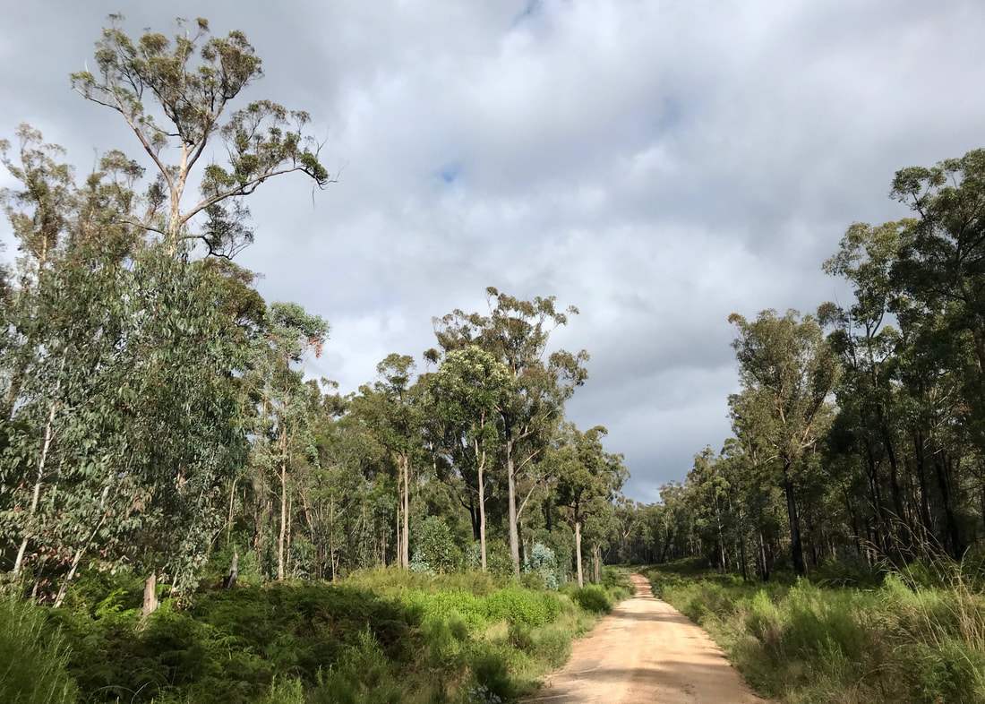
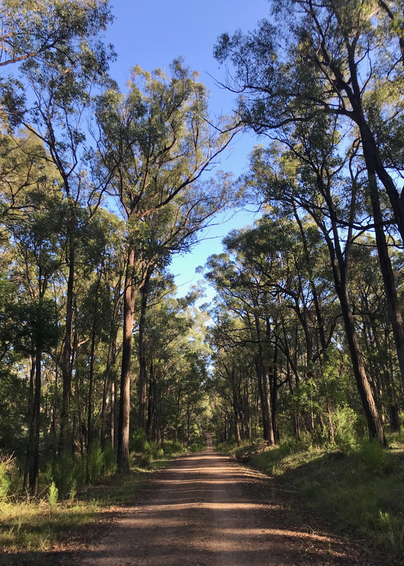
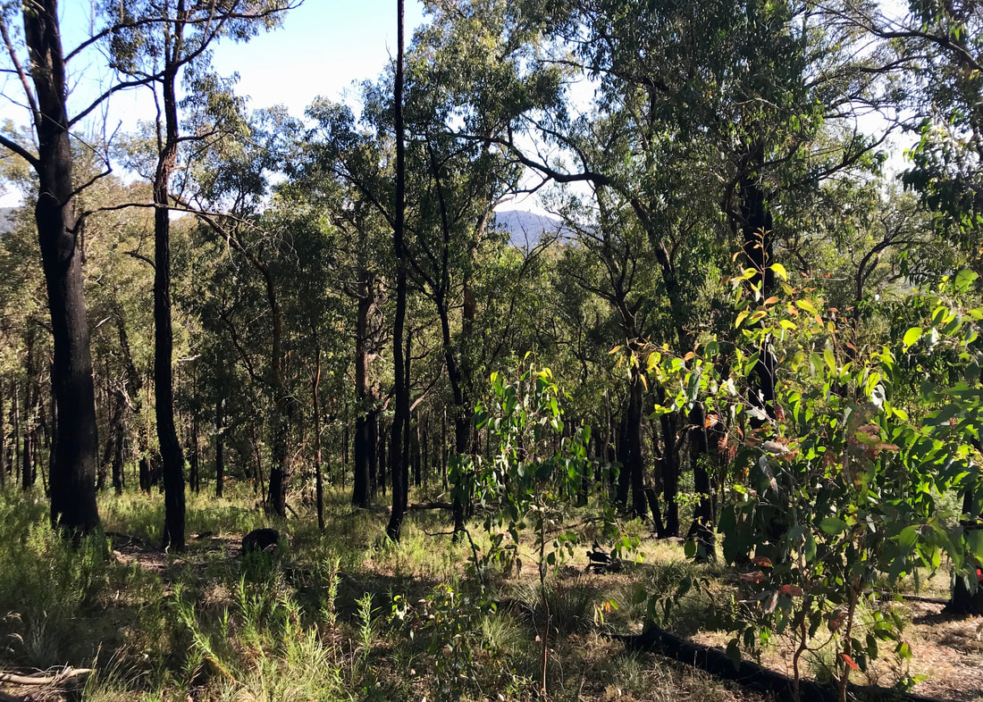
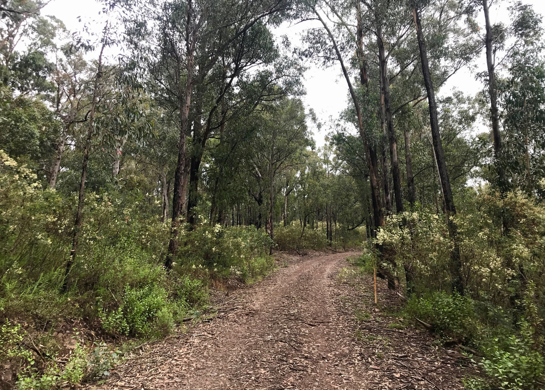
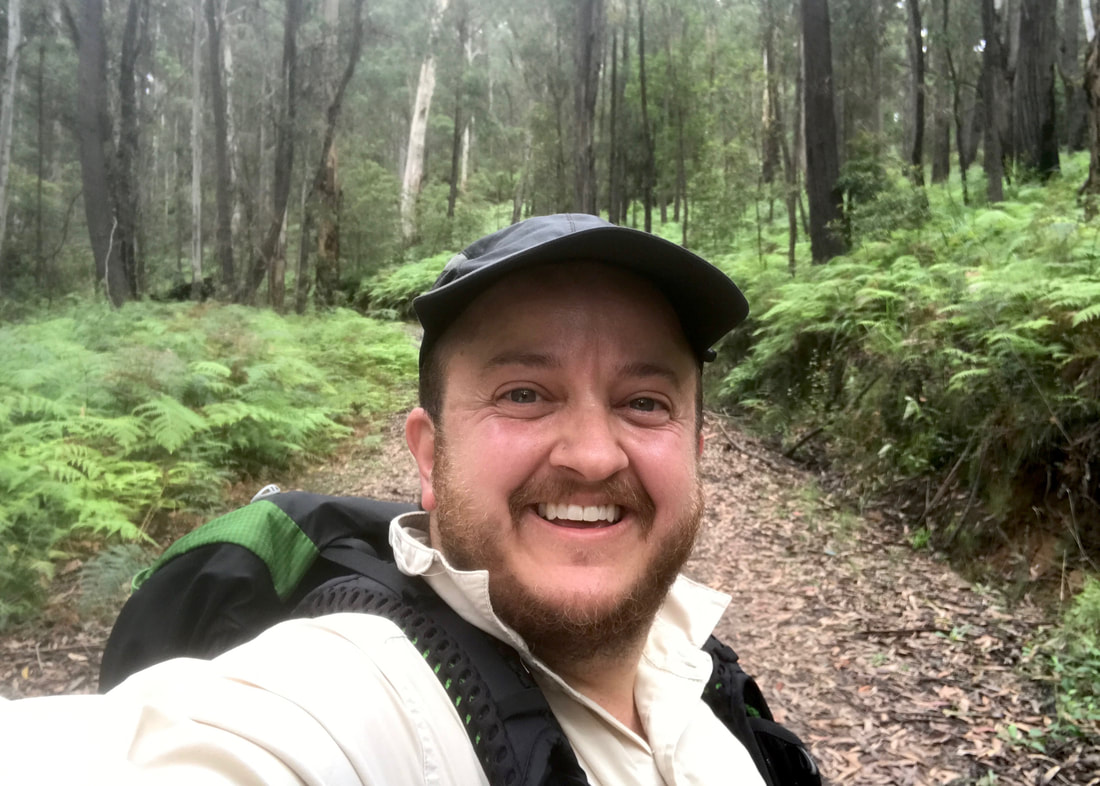
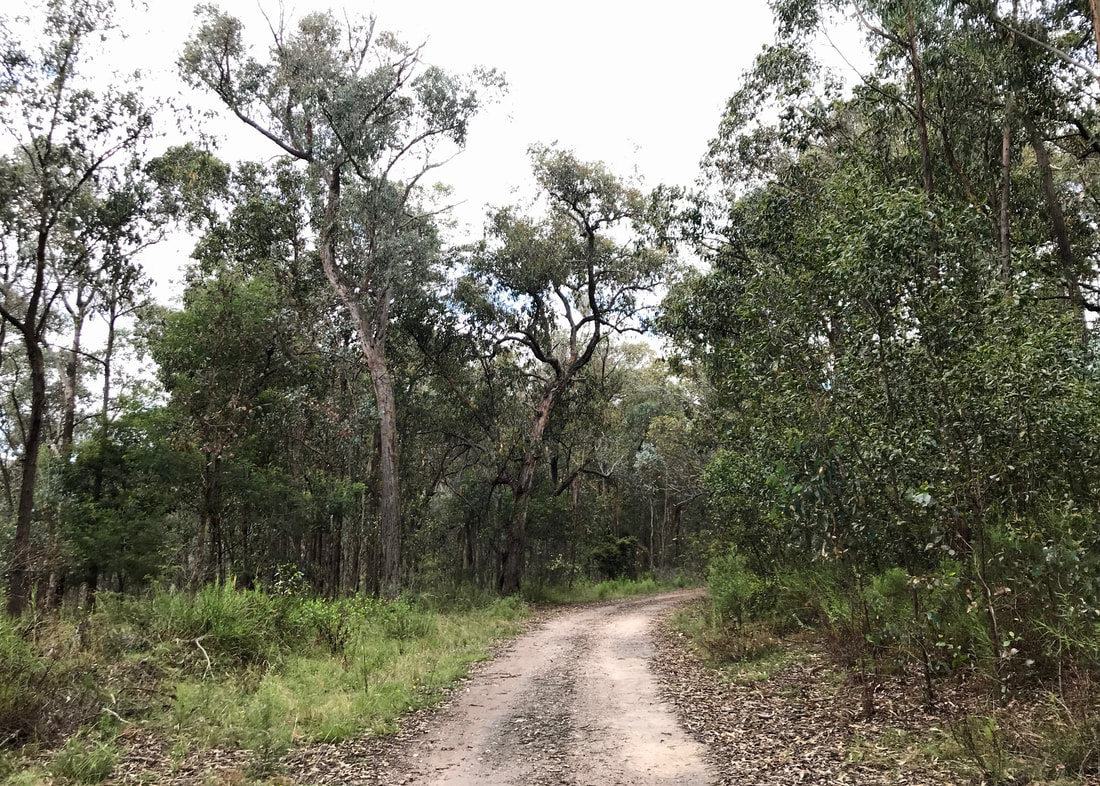
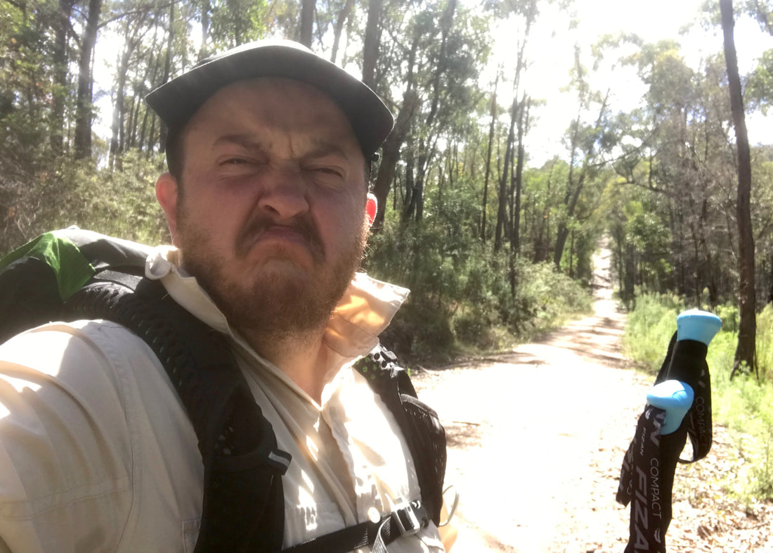
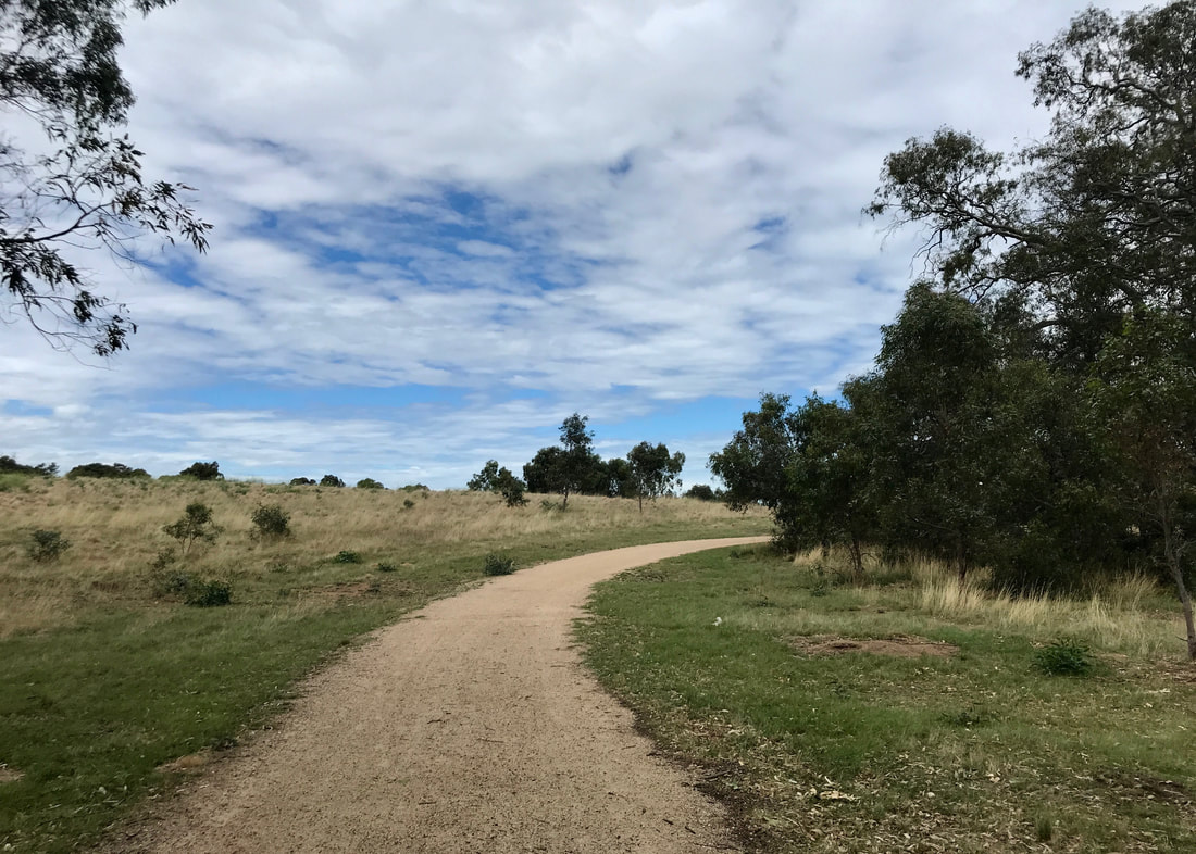
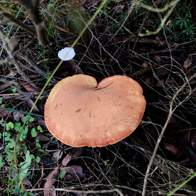
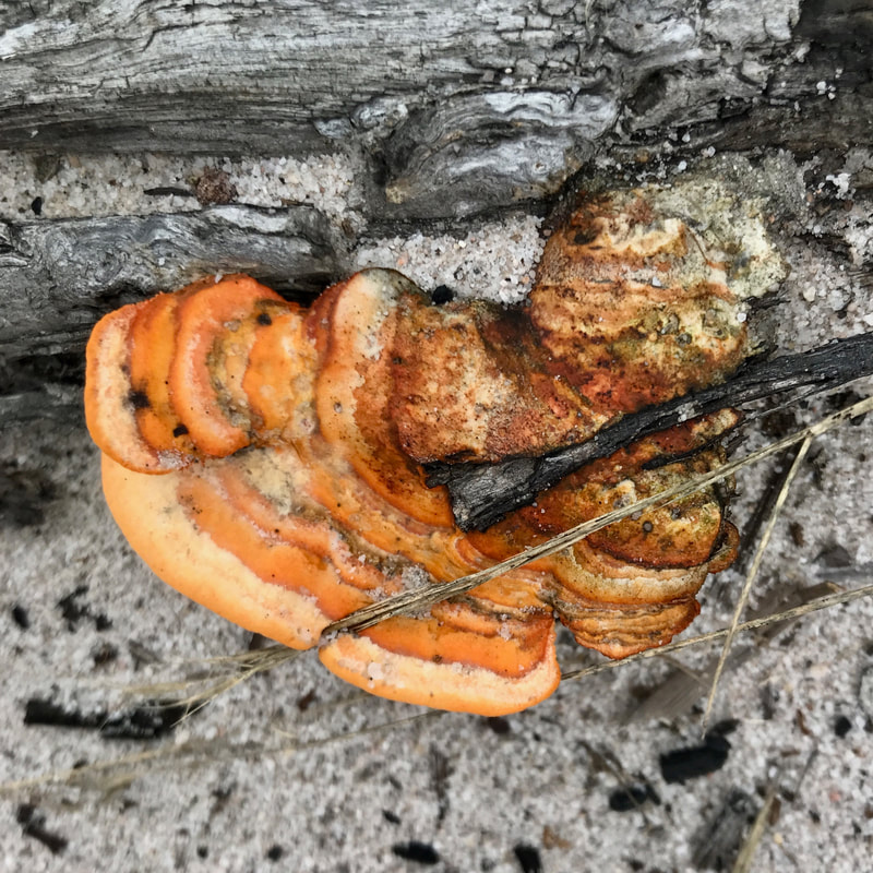
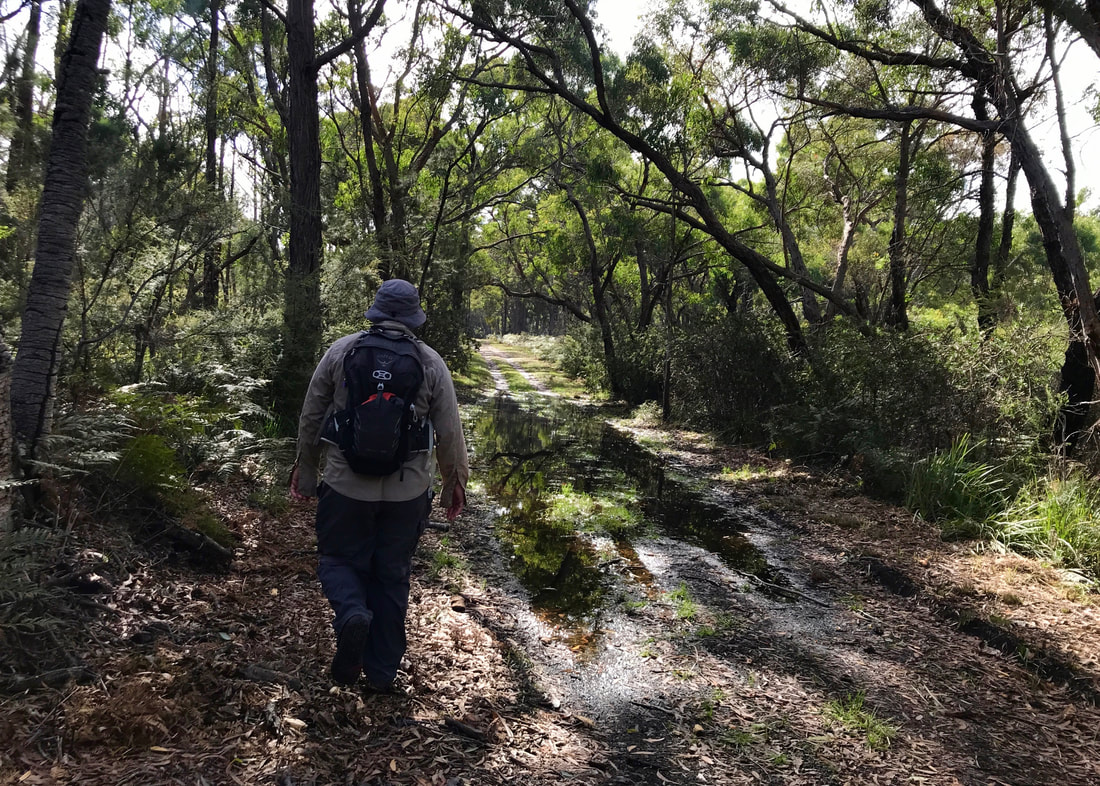
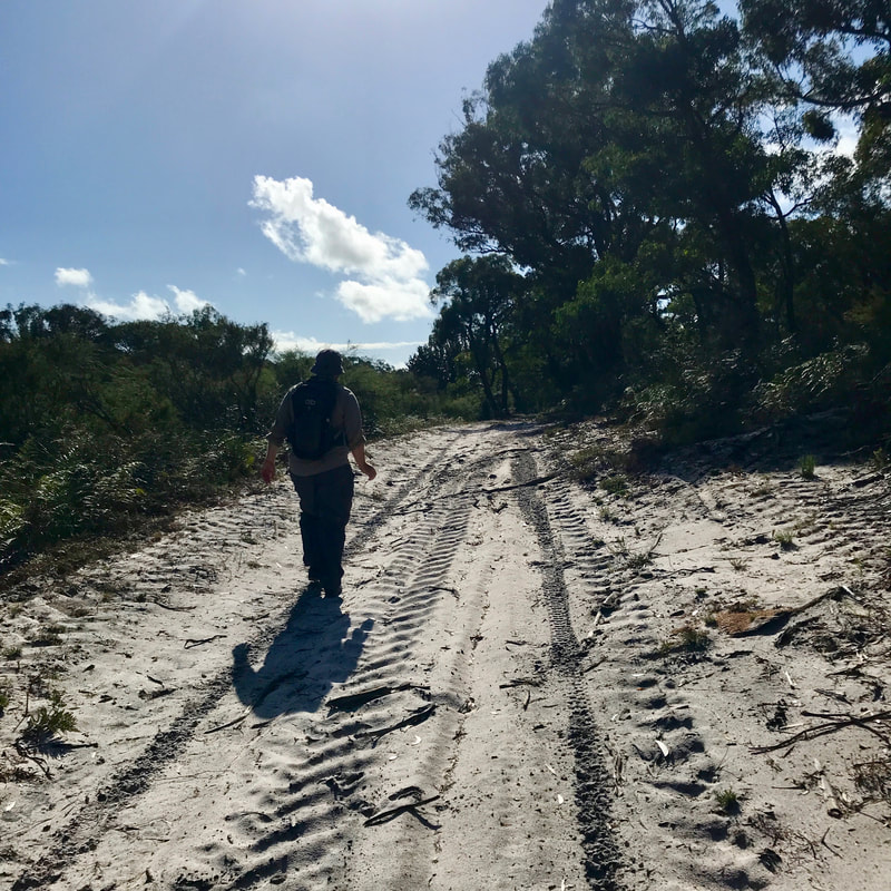
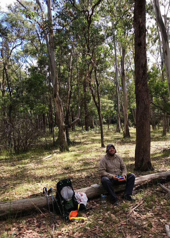
I went out for short walks with this setup 3 or 4 times a week. They were mostly suburban strolls along relatively flat streets, but I also went on a couple of more bushy walks with my friend Emily. Only a couple of these walks lasted more than an hour, but I started getting used to the pack. I think it’s partly a mental game. It’s different when I’m actually out on an overnight walk and need the things in my pack - but when it’s just a training walk I keep thinking, “What is the point of lugging 5kgs of water around the block?” Anyway, I’m still experiencing strain on my shoulders, and still getting used to the forward lean to counterbalance the pack. I also know that when the pack’s full of things that are less dense than water it will carry differently - I’m hoping that will help a little, because it has in the past! I just need to keep slogging away, building up to carry the heaviest load I think I’ll encounter in, say, the first week on trail, then building up the distance as well.
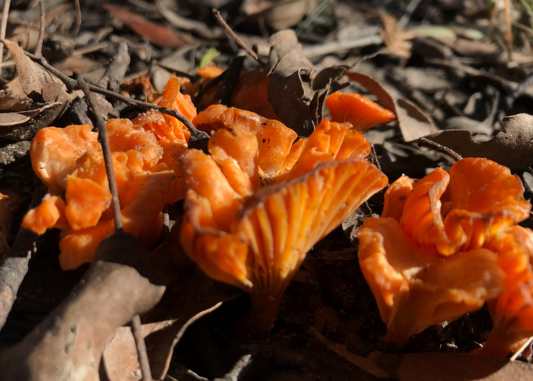
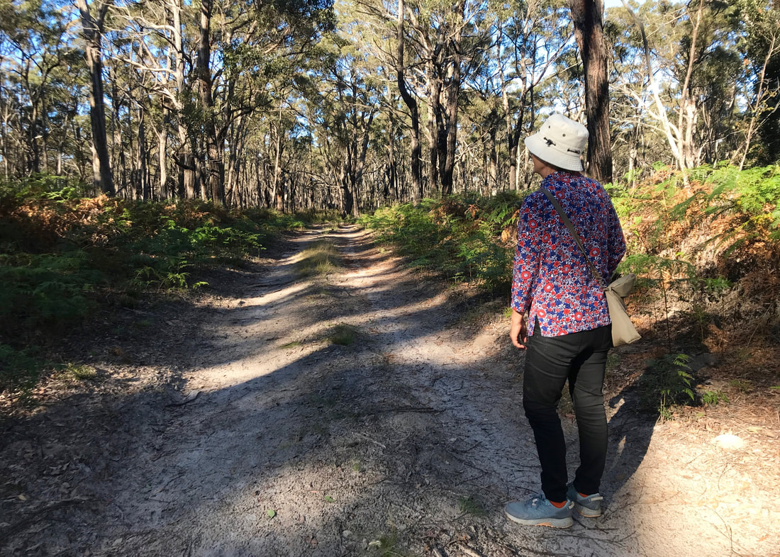
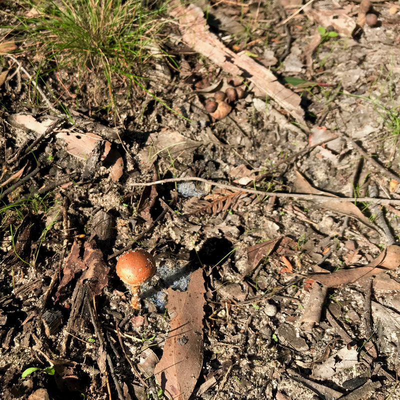
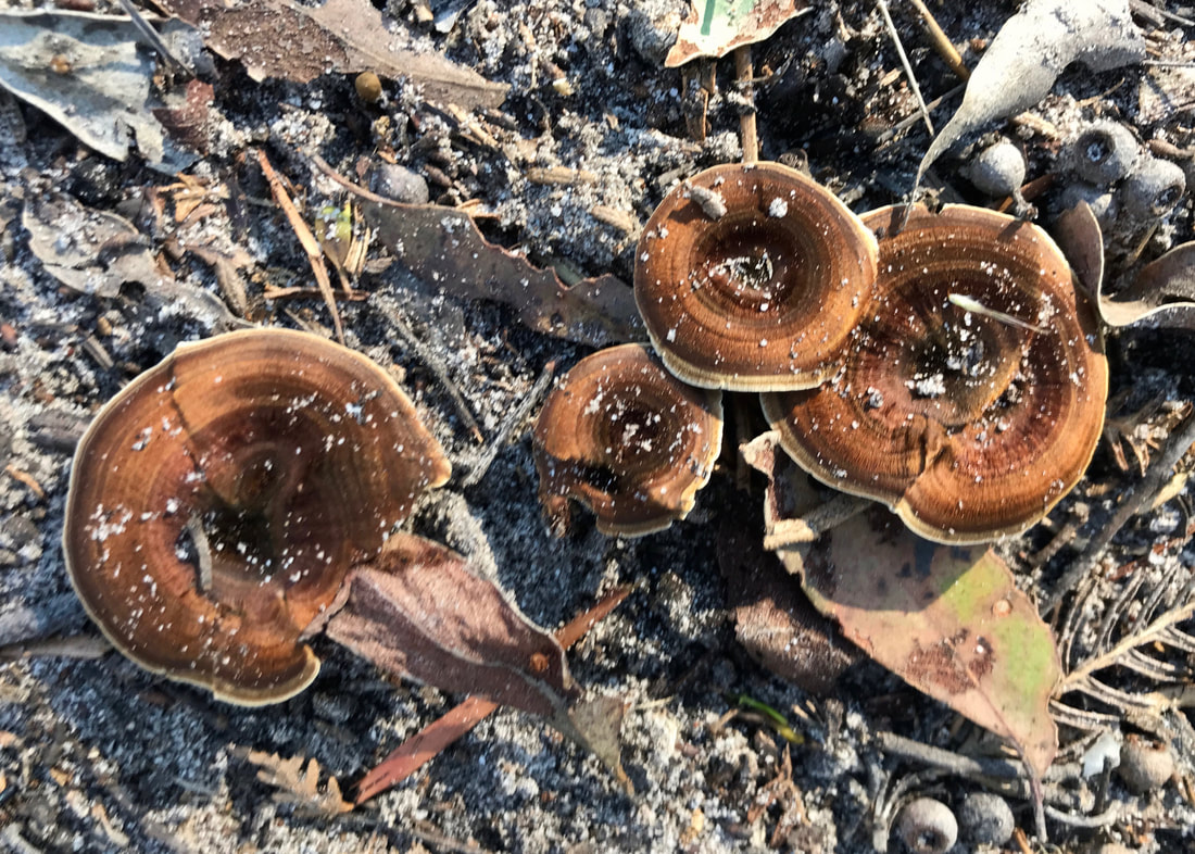
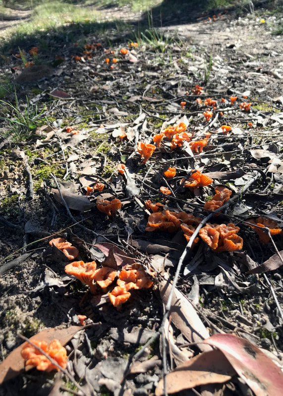
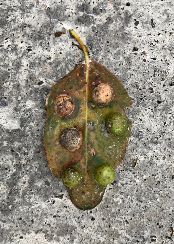
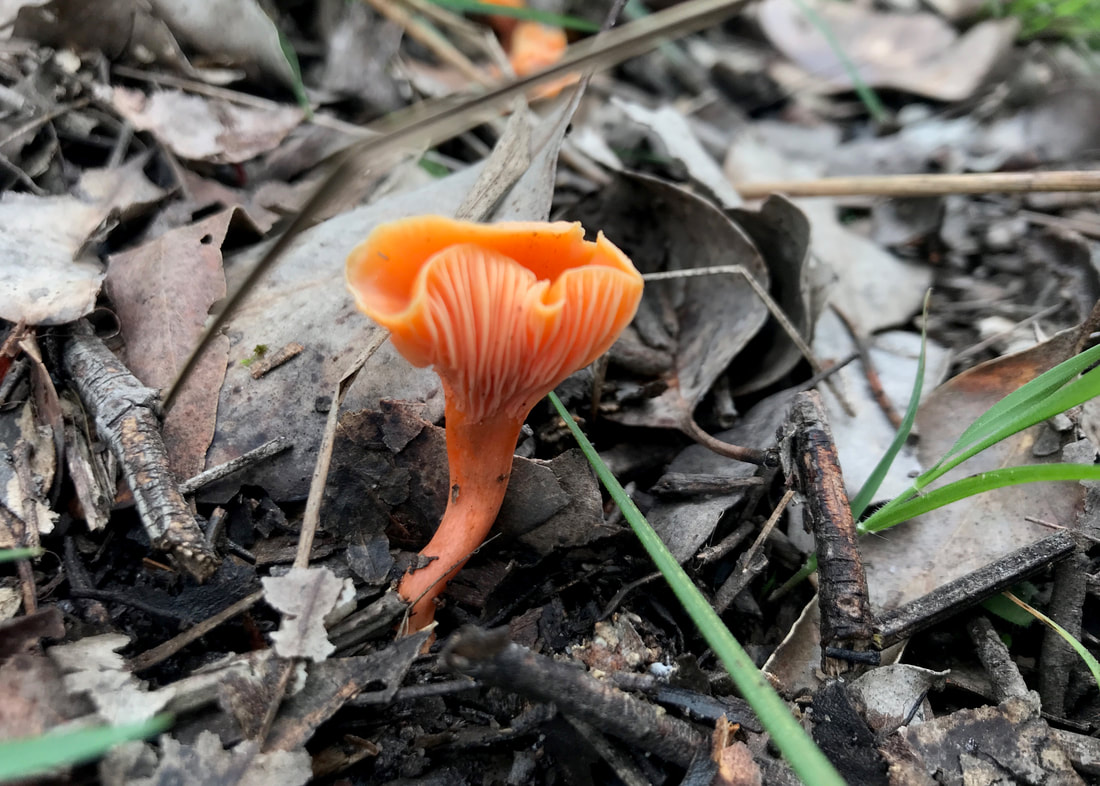
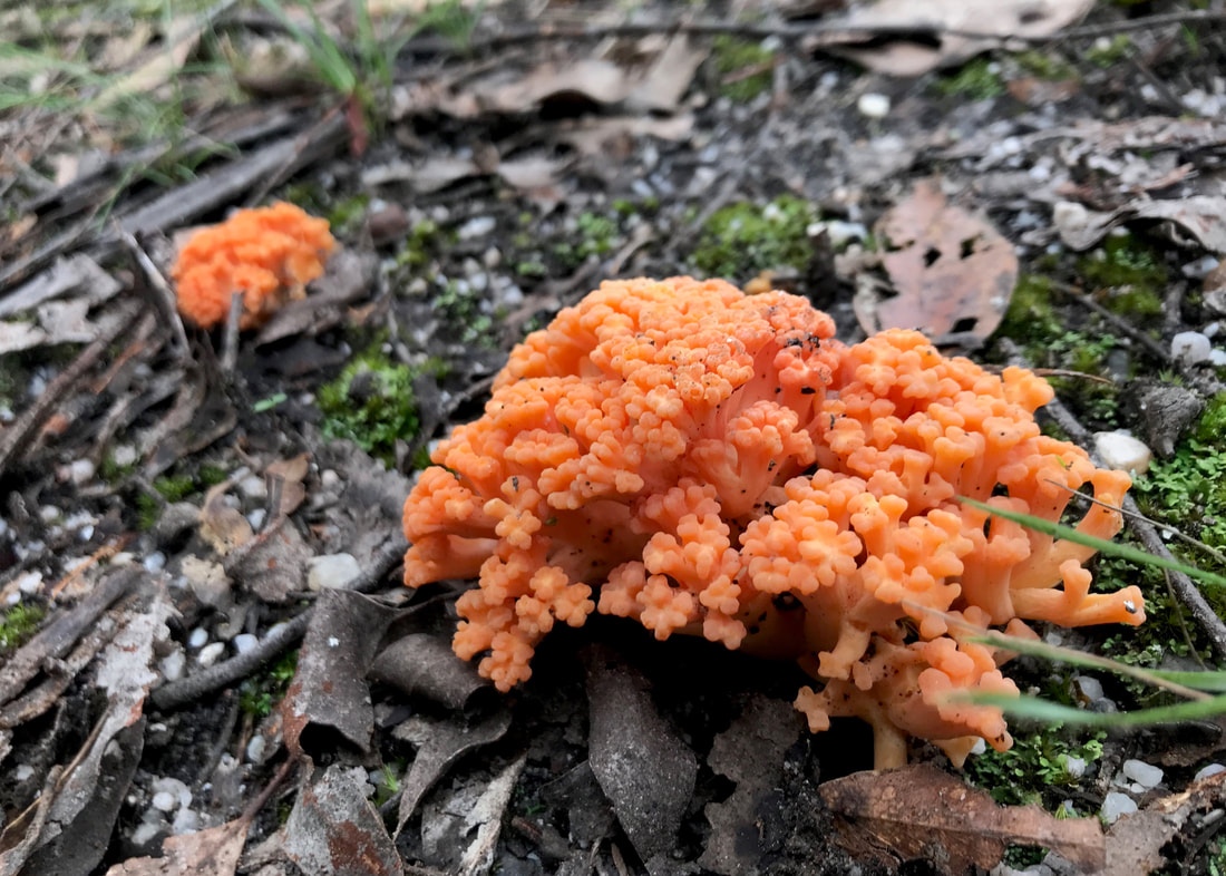
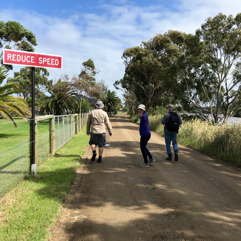
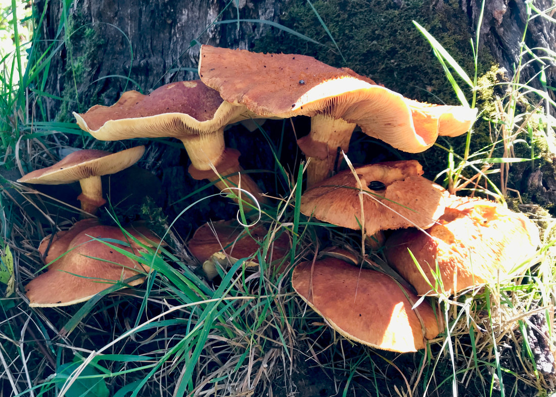
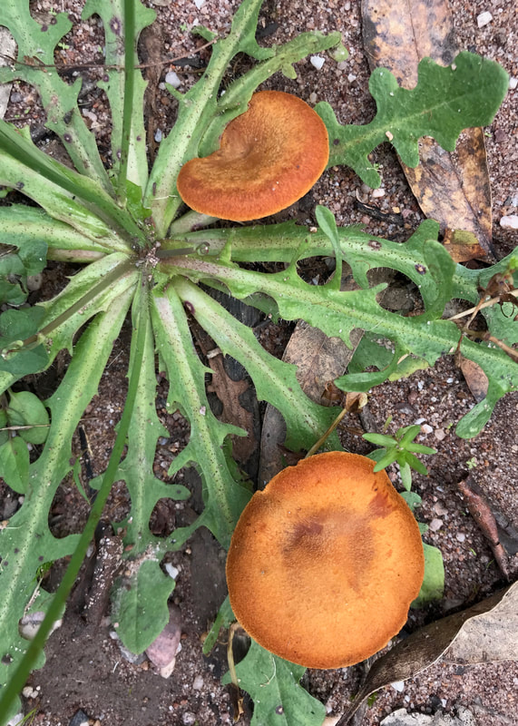
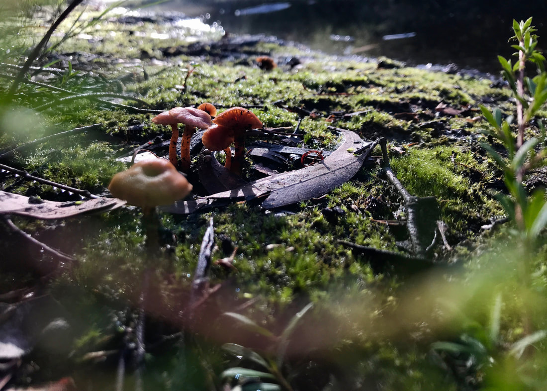
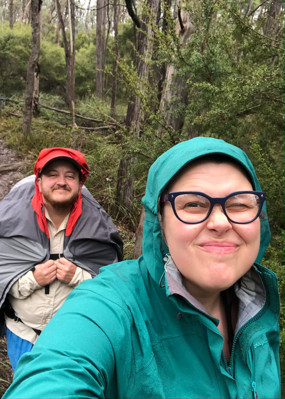 Me and Emily, squinting into the drizzle at Bunjil Reserve. Pic by Emily. | 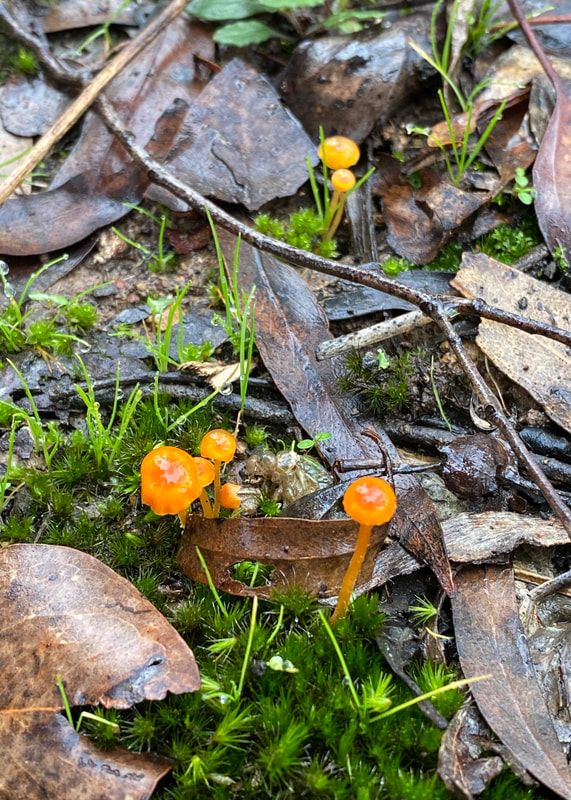 Cute lil orange boyos at Bunjil Reserve. |
At this point in my training - around 5 weeks out from the start date - I’m pretty confident that I can walk the distances and elevation required every day. Some of them will be long, hard days, but I’m not in bad walking condition. I’m less confident that I can do it with a fully loaded pack. So, I need to keep working at it. Again, it’s boring, but that’s how it is.

Bob Ross mural in one of the alleys behind Bunnings in Brunswick.
Other updates are:
- We’ve bought tickets to Adelaide! Dan will come with me to South Australia, we’ll see some friends, do a bit of extra shopping (gas, lighter), drive up and drop my three resupply boxes, then he’ll take me to the start of the walk. After that, he’ll come home (taking a couple of days), and I’ll start walking!
- I haven’t done any overnight walks, but I have camped out in the garden a couple of times. The last time I did this, it was pretty chilly - maybe about 2-3 degrees overnight - and I was almost warm enough in what I had. I do want to get a lightweight merino hoodie that I can wear as a sleep top to keep the draughts out of my neck (my buff will be on my head if it’s that cold).
- I’ve also been going back and forth on an extra pair of sleep socks and some warm mittens. I have struck a great compromise (I hope) with a bit of DIY. I’ve cut the arms off a $4 puffy jacket from the op shop, and I’m about to get on with some sewing. I’ll close in the cuff/toe/finger end, tidy up the leg/arm end, and unpick/seal a little thumb hole in the seam. Then I’ll have some lightweight, warm sleeping booties that double up as cosy mittens if I need them. And when I don’t need them for my feet I can add them to my pillow pile.
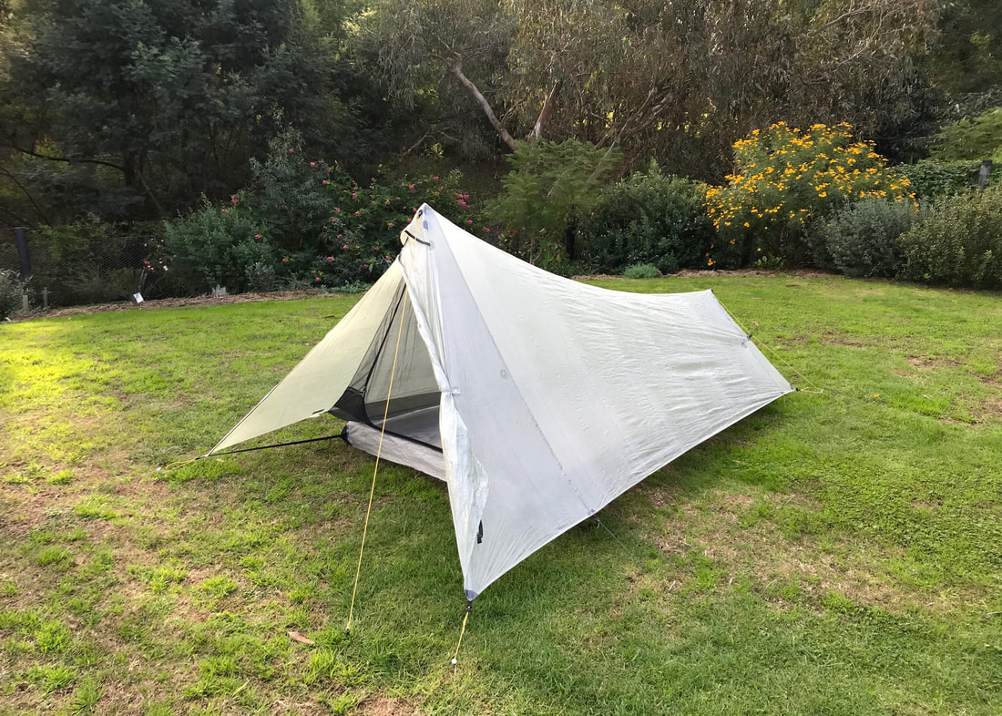
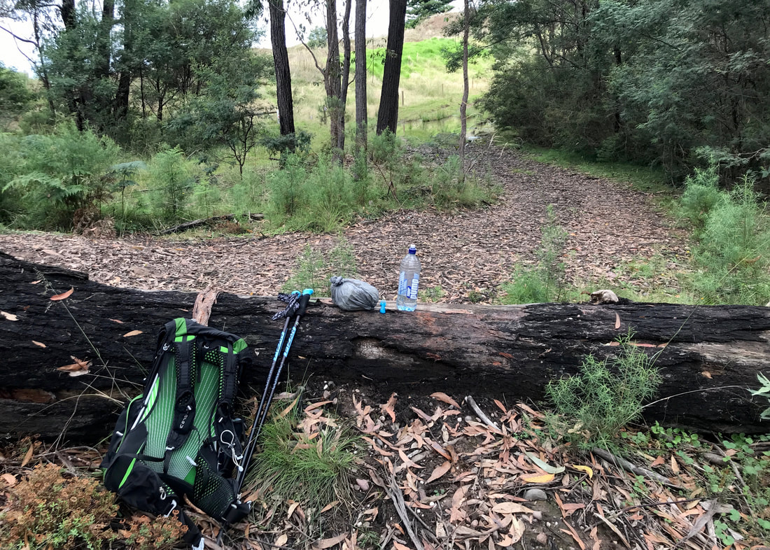
Tent set up in the back yard, ready for a cold night!
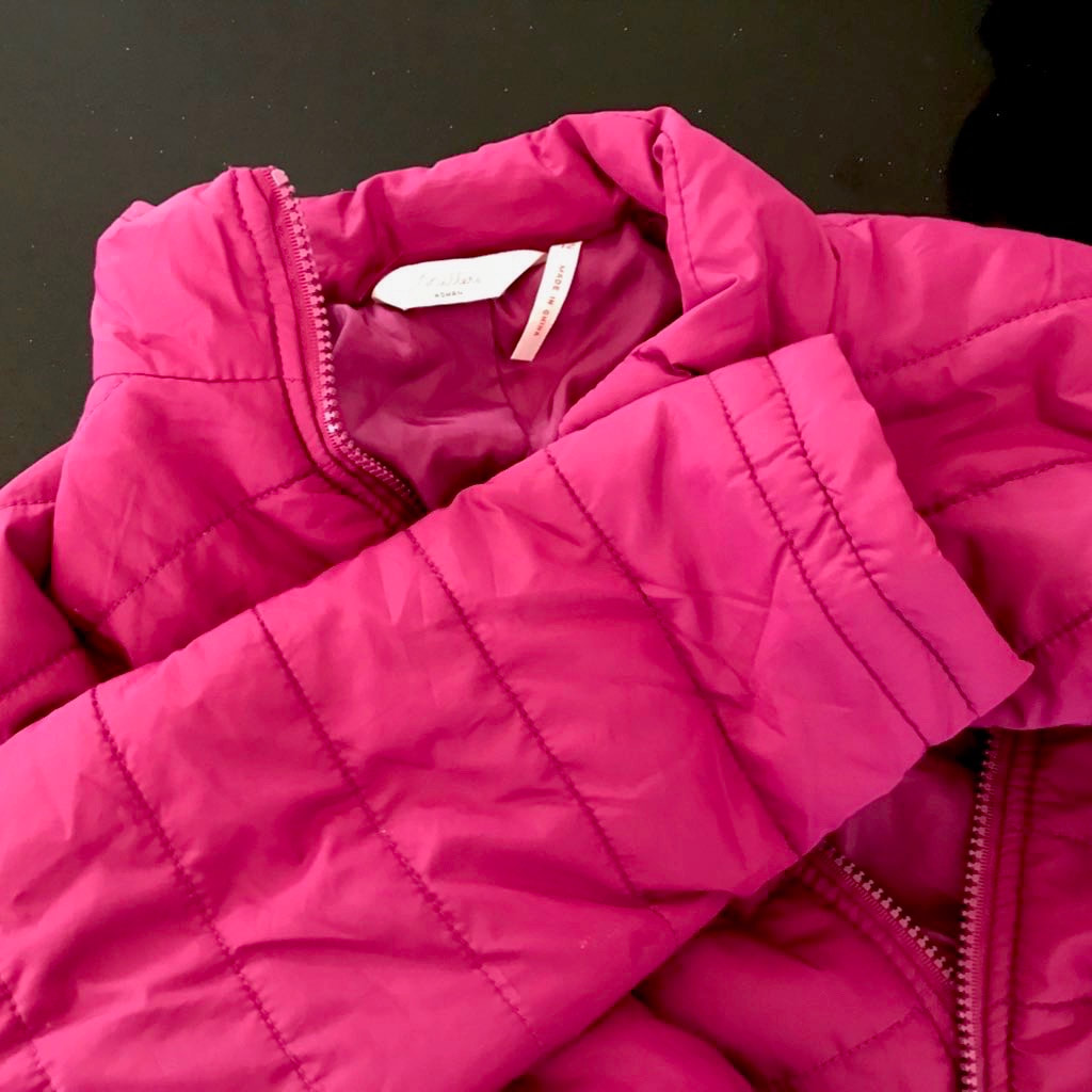 A nice puffy jacket, ready for butchering. | 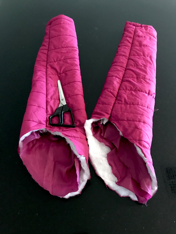 And so it begins! |
Pictures taken on Wurundjeri Country and Gunaikurnai Country. This always was, and always will be, Aboriginal land.

![Home-printed sign - MAN WITH BULLDOG. [YOU KNOW WHO YOU ARE] PLEASE STOP LEAVING YOUR DOG POOH BAGS HERE. USE BINS NEAR THE OVALS ON EITHER SIDE OF MERRI CREEK.](/uploads/3/7/5/8/37581127/19-man-with-bulldog-you-know-who-you-are_orig.jpg)


 RSS Feed
