IN WHICH I
  • ... Write
  • ... Explain

A walk around Stratford and The Knob

26/1/2022

0 Comments

 
Sometimes instead of going somewhere else to do a walk, you just need to step out your front door.
Landscape view
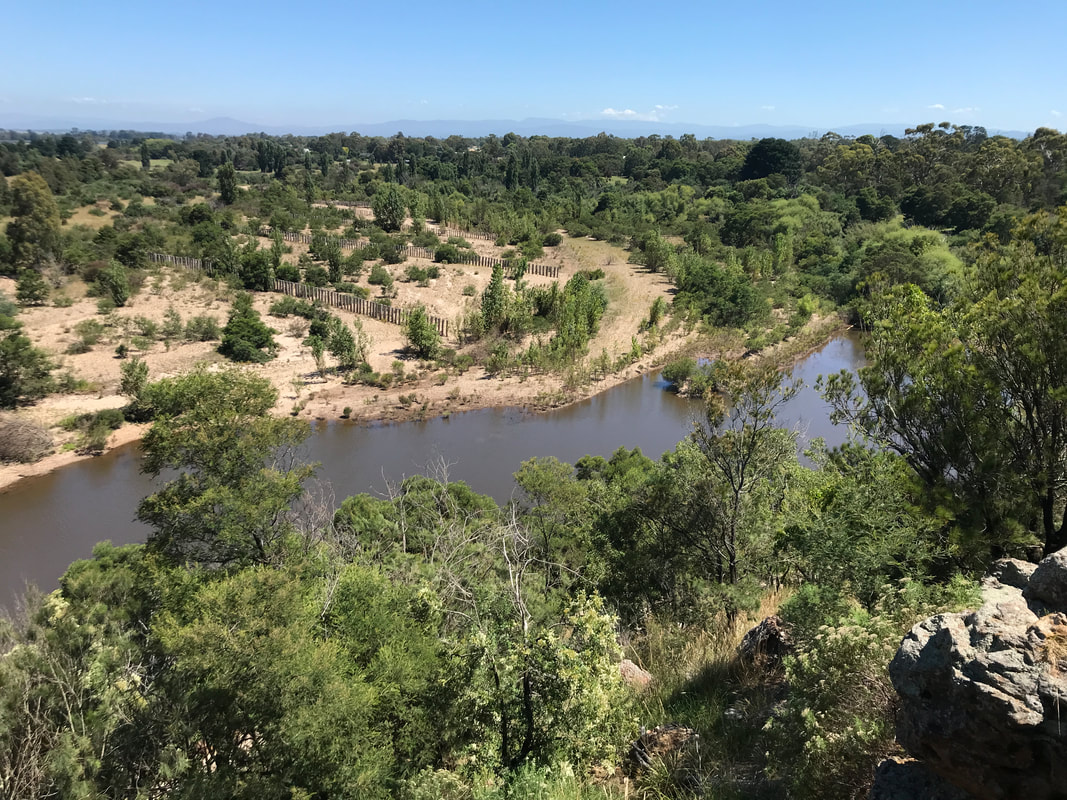
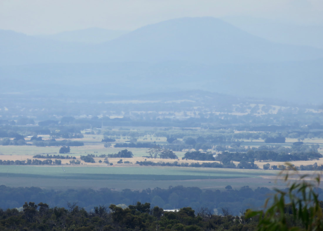
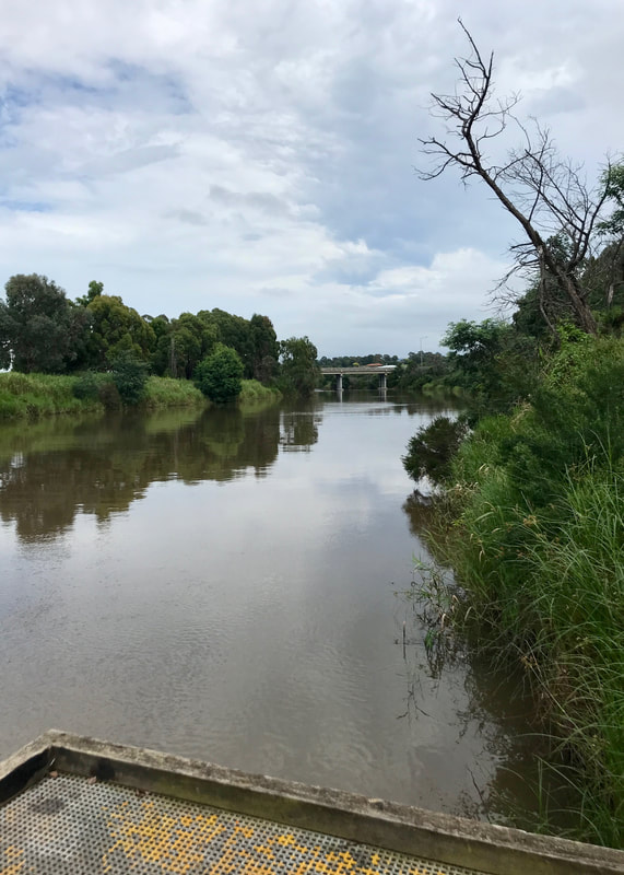
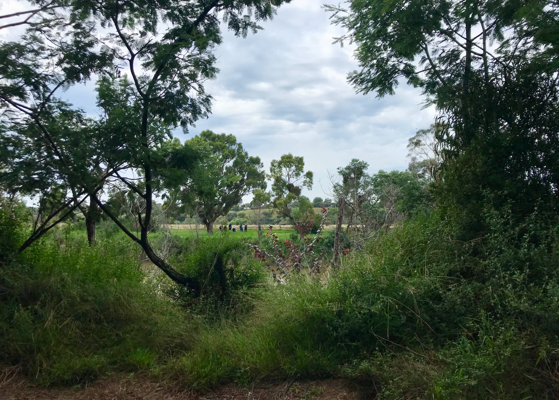
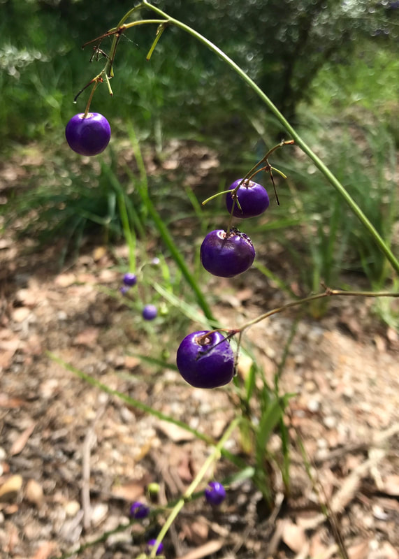
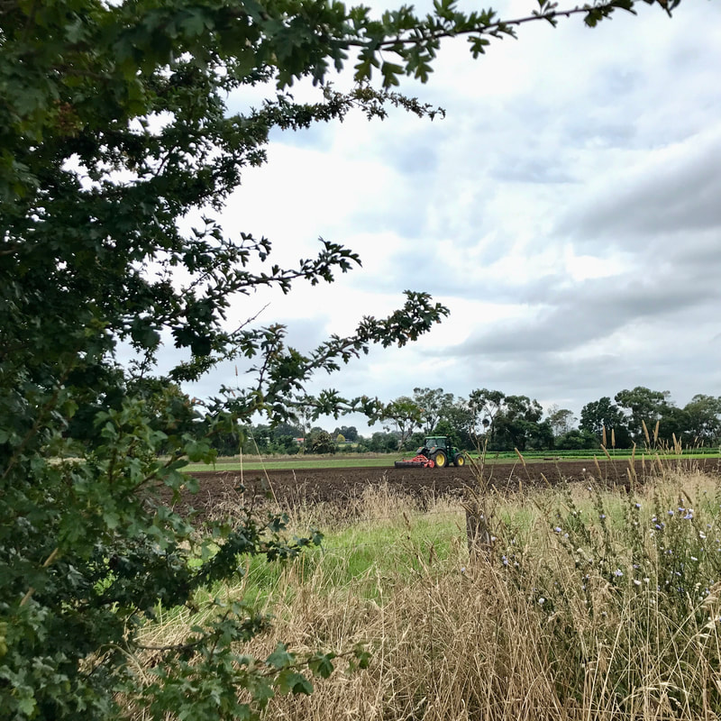
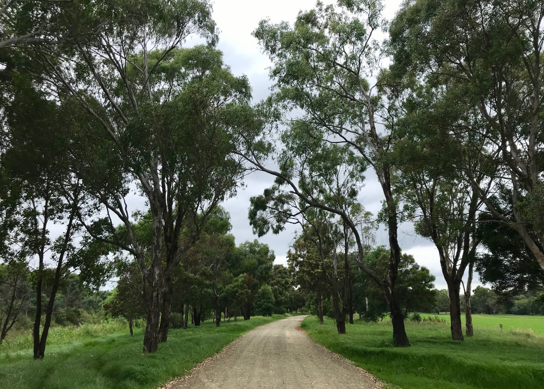
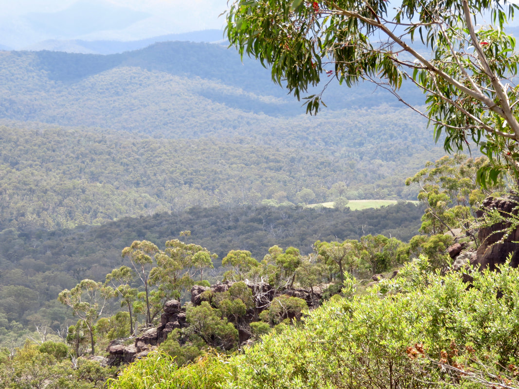
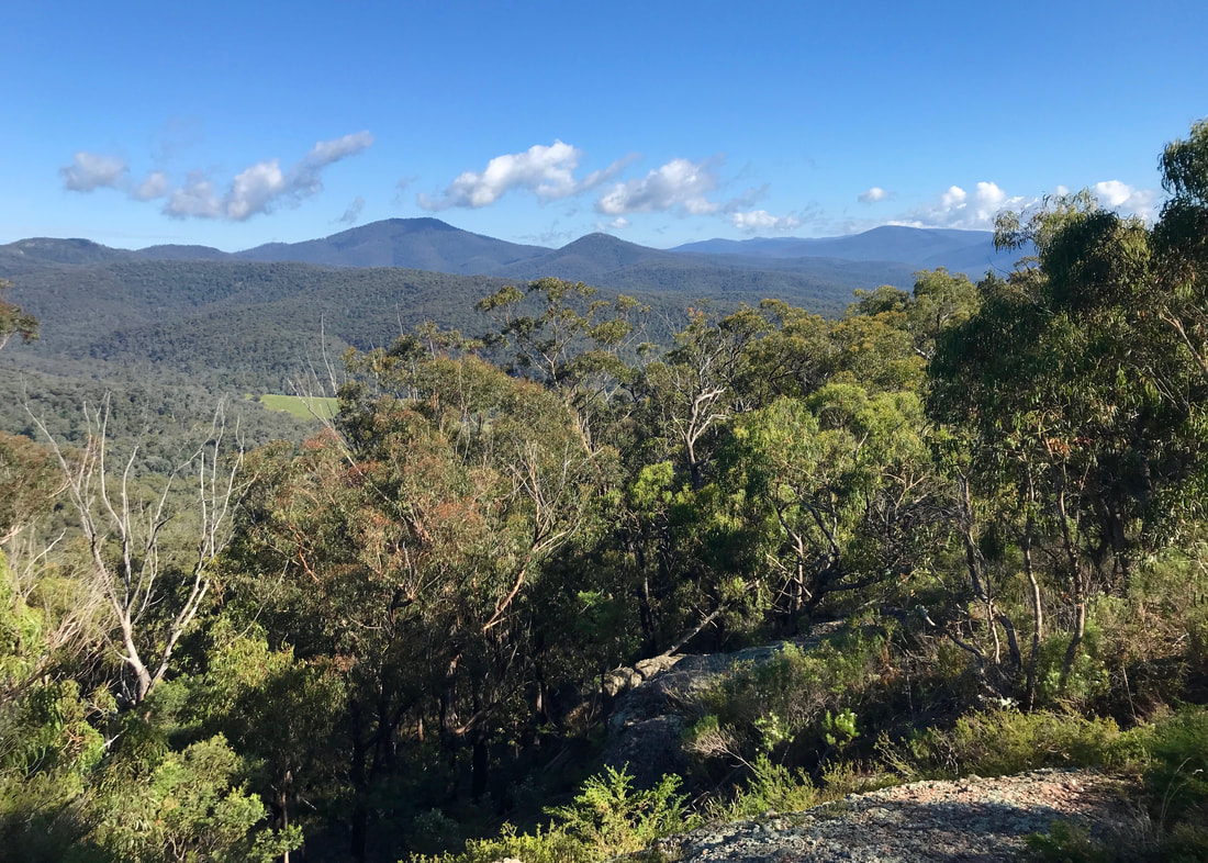
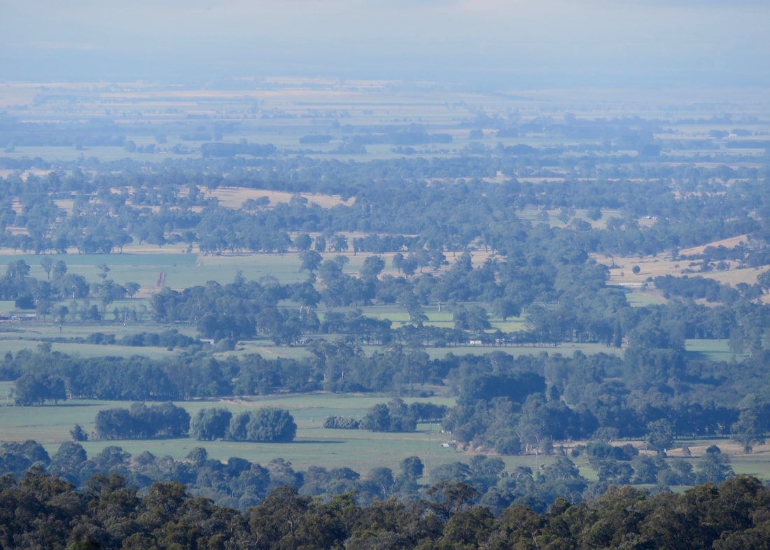
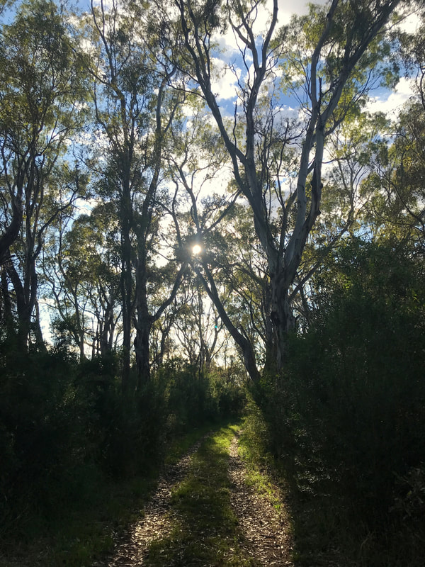
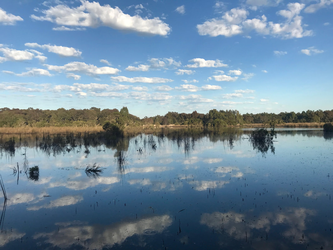
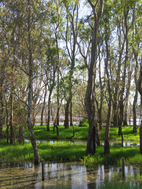
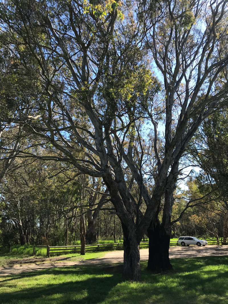
View from the Knob, with the Dooyeedang (Avon River) in the foreground and the ranges in the background (Ben Cruachan towards the left).
I recently calculated that, depending on how many little detours I added in, a walk from my folks’ place around Stratford to the Knob Reserve (heh), around the Knob (heh) and back would be about 10km. So, one overcast, relatively cool and humid January morning Dan and I set off. We let my parents know that if they wanted to bring us morning tea halfway through, we wouldn’t mind that at all! We did have a backup plan, though - we first went to the IGA and got a selection of muesli bars. We’re not going to be caught without snacks again!
Statue of a dog wearing a surgical face mask
Residents are still quite cautious.
Round sign on a fence saying Art Colt with a picture of an anvil
One of the homes of arts and crafts.
Wall painted in orange, red and grey, with a concrete 'bead' set in it. On the bead you can see
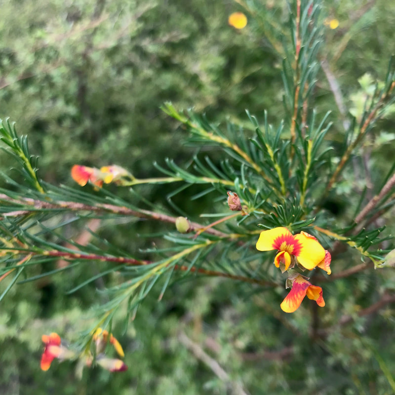
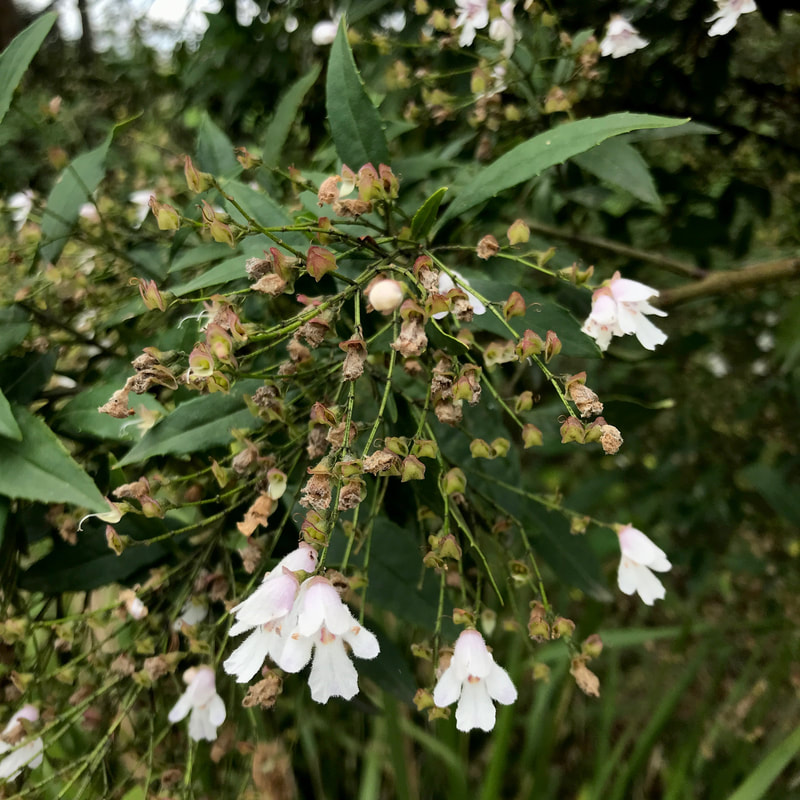
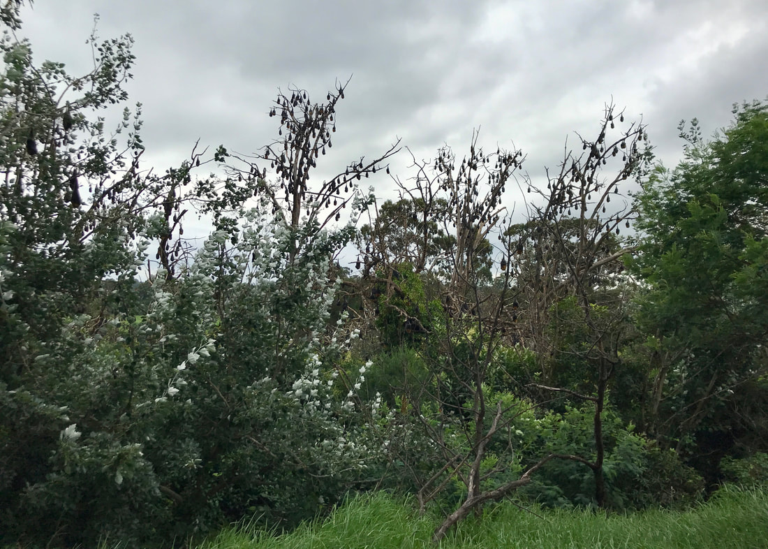
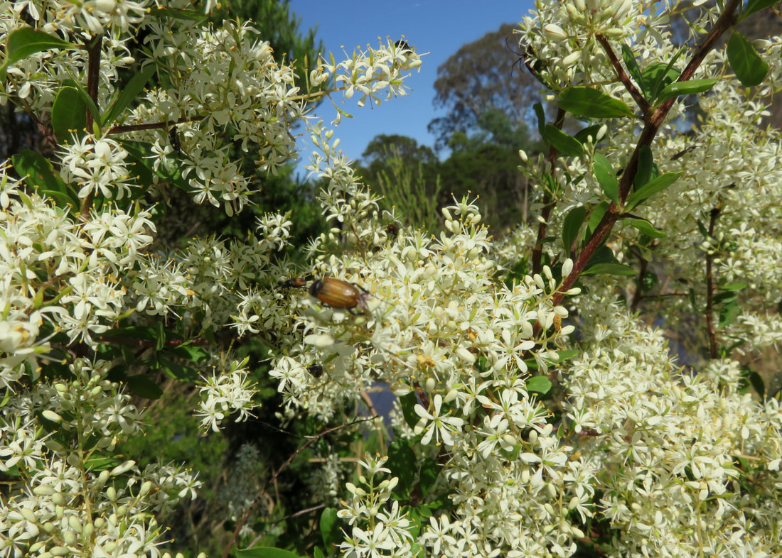
A bit of Shakespeare-themed public art.
a cluster of pink buds/nuts against dark green leaves
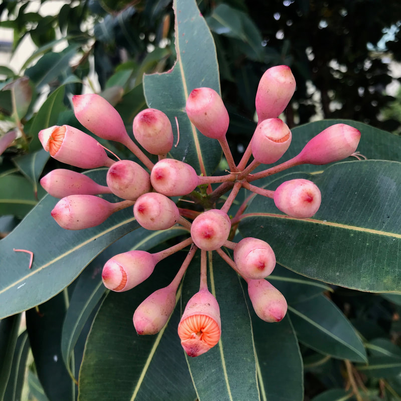
Flowering gum buds about to break into blossom!
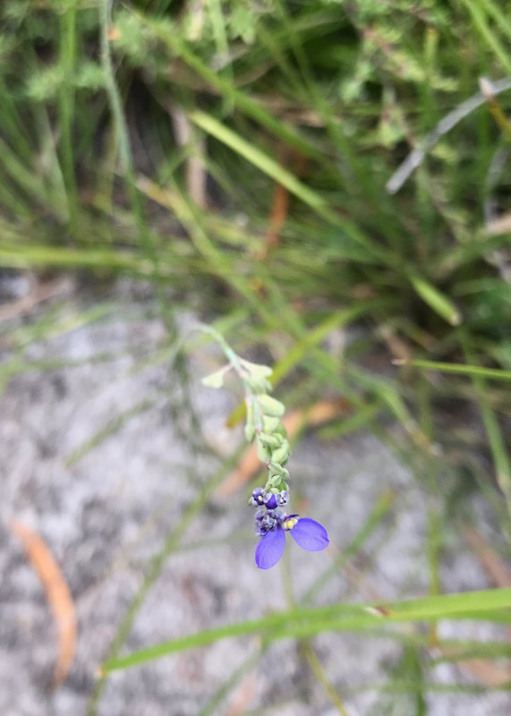
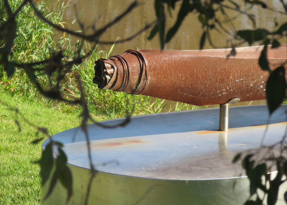
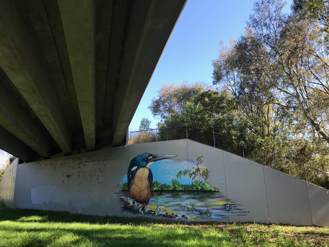
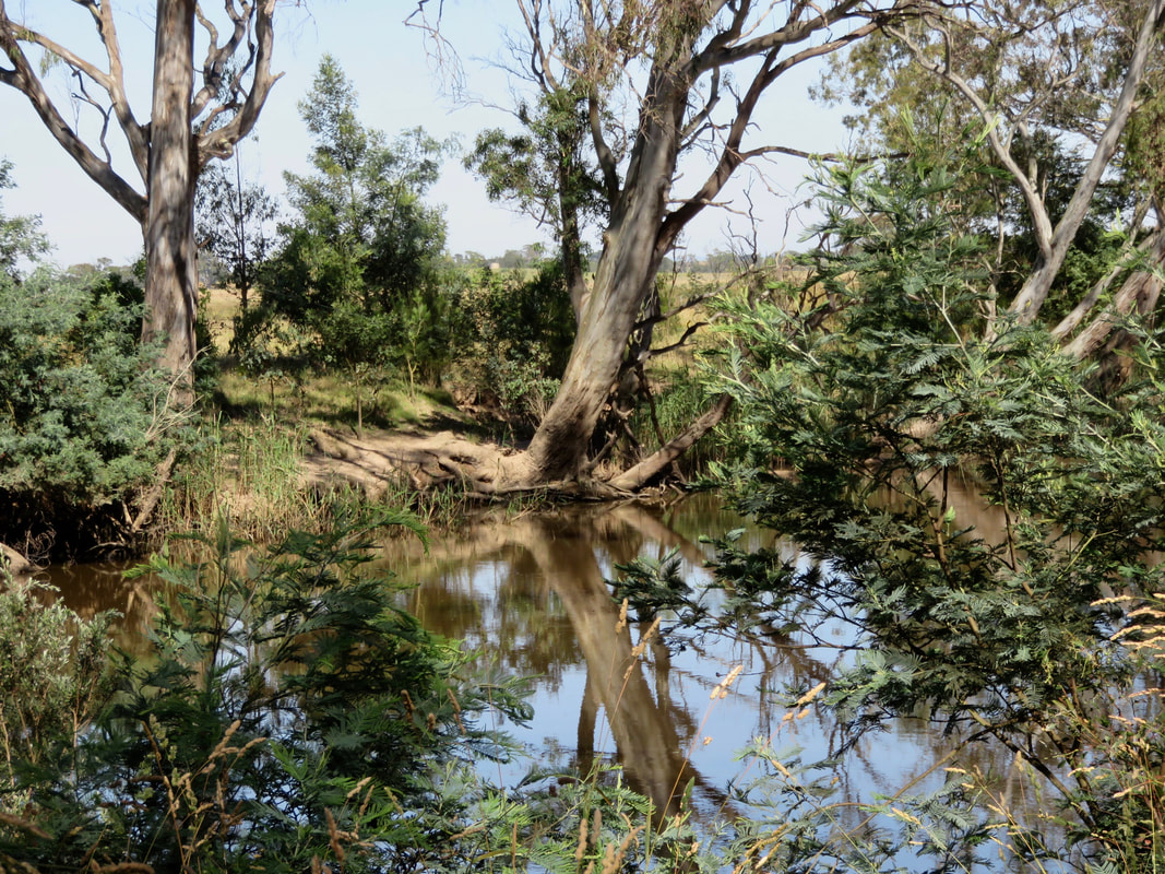
Walking through towns is a good opportunity to put lots of things in your eyes. There’s always heaps to look at - houses and buildings and fences, different plants in gardens, pets and other animals, various bits of signage and public art. Stratford actually promotes an “art trail” around town, mainly by the river, and we followed part of it on this walk. A lot of it is (perhaps unsurprisingly) Shakespeare related. We took a detour to see the three witches, a cool bit of sculpture beside a lookout where the view is otherwise in the process of disappearing behind growing trees. Along here, we also saw someone kayaking down the river - mostly just floating downstream, really. One day I’d like to do that.
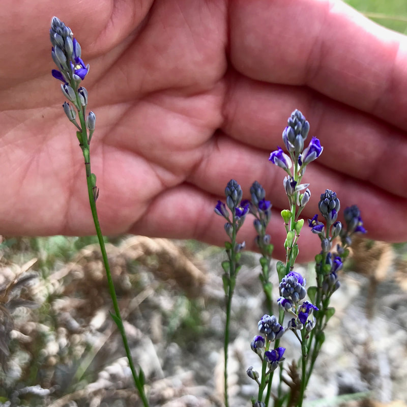
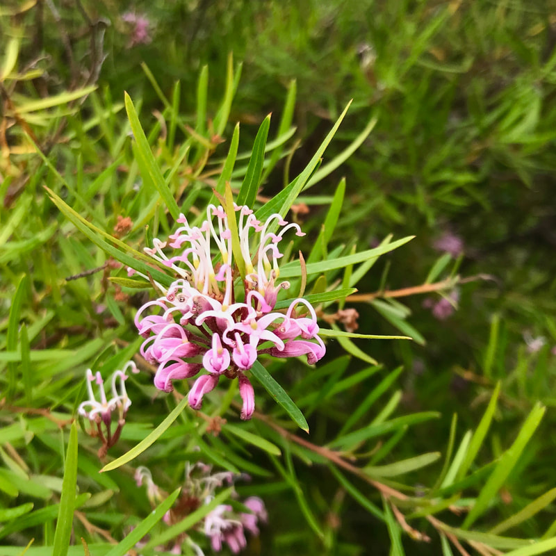
Picture
Pink grevillea.
Rusted steel sculptures of slightly abstracted, angular figures around a pot
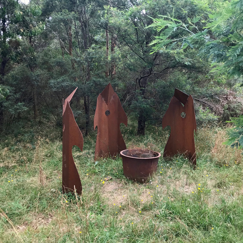
The Three Witches near the overgrown lookout.
Grey concrete sculpture of a jester with a red and white painted hat, boldly painted face and the glimpse of red and white bloomers
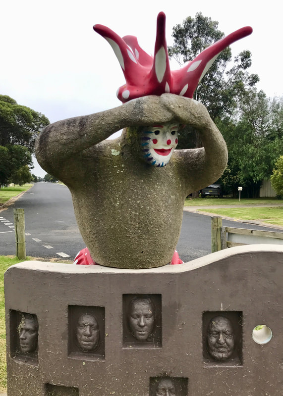
The statue my parents call Fancy Pants.
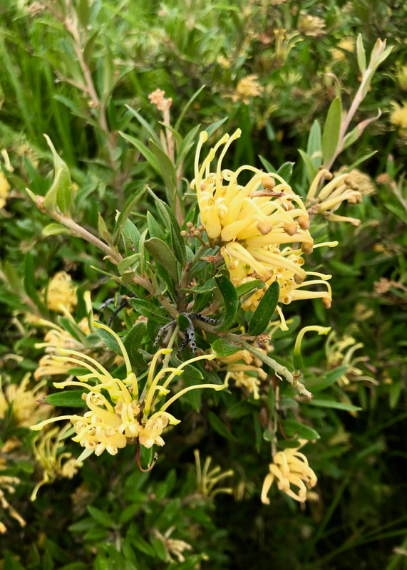
Picture
Yellow grevillea.
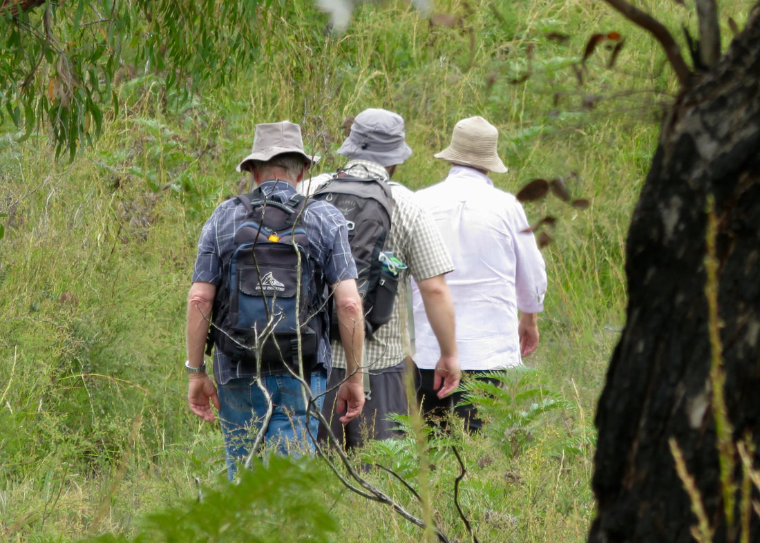
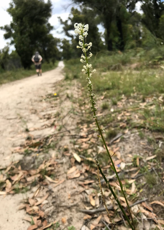
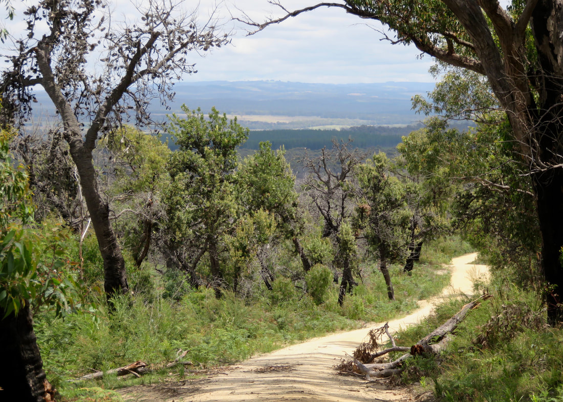
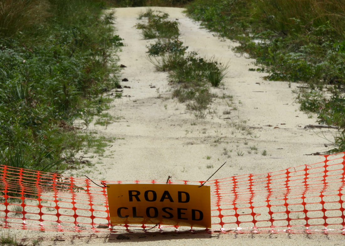
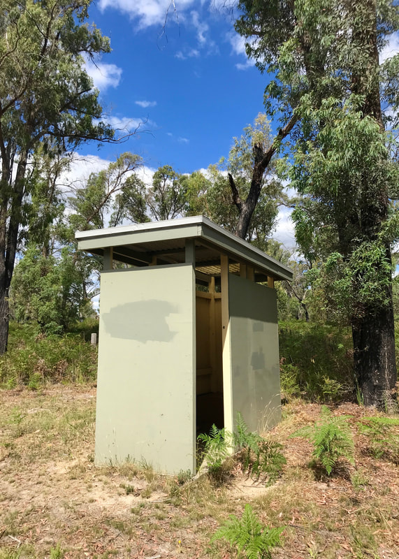
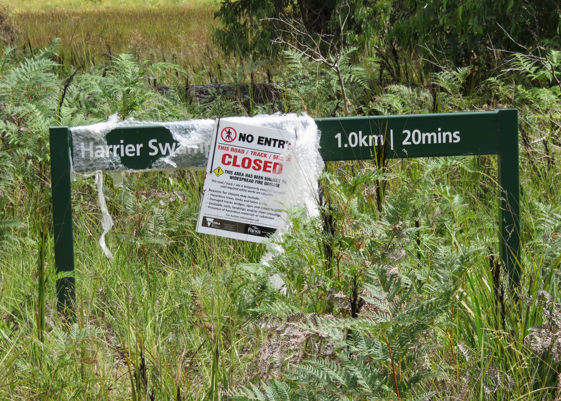
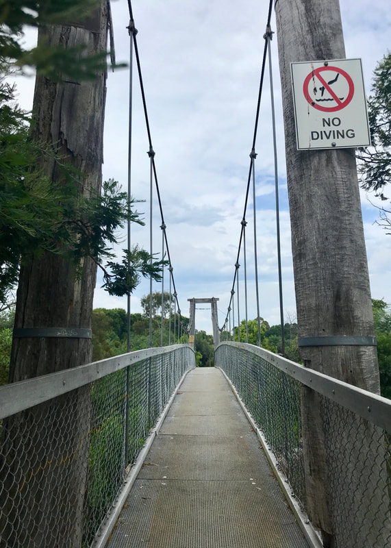
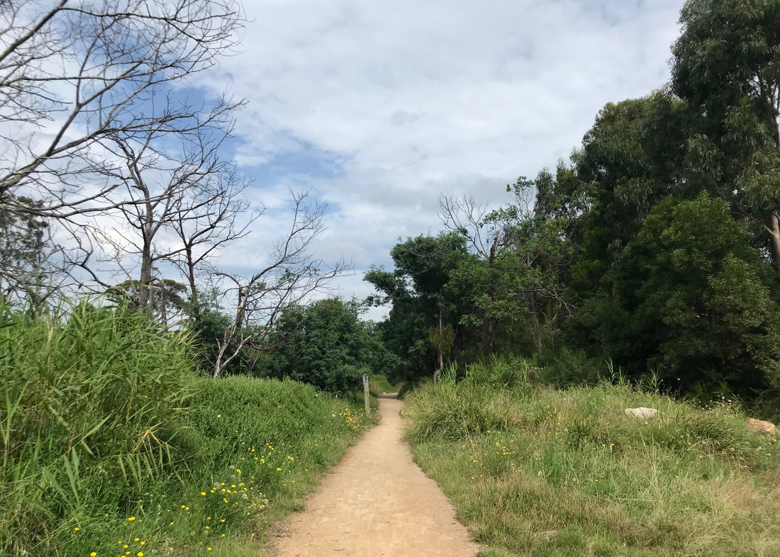
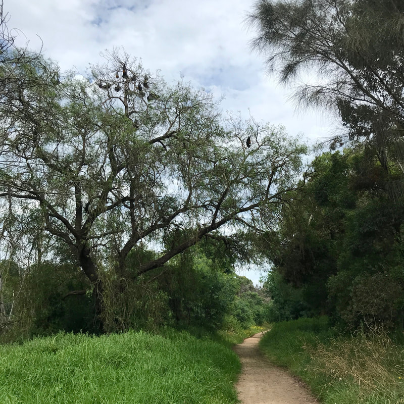
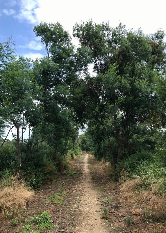
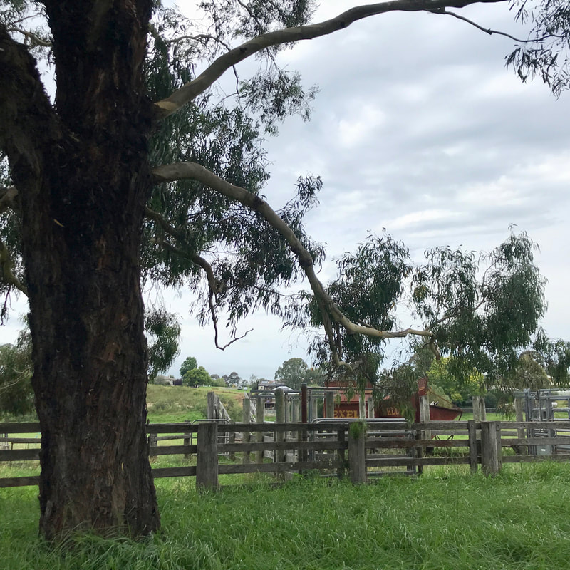
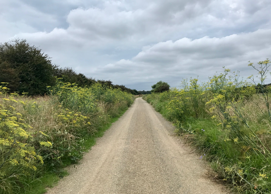
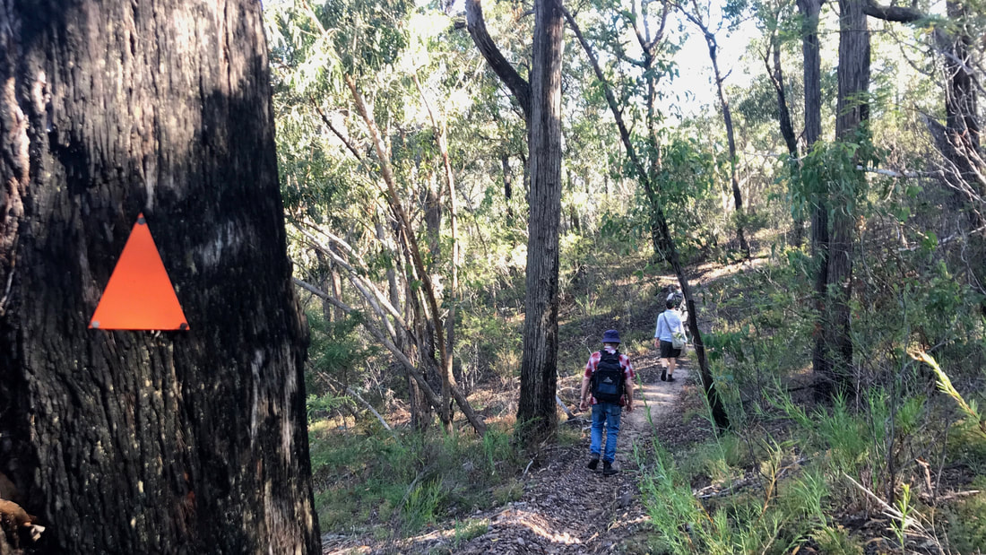
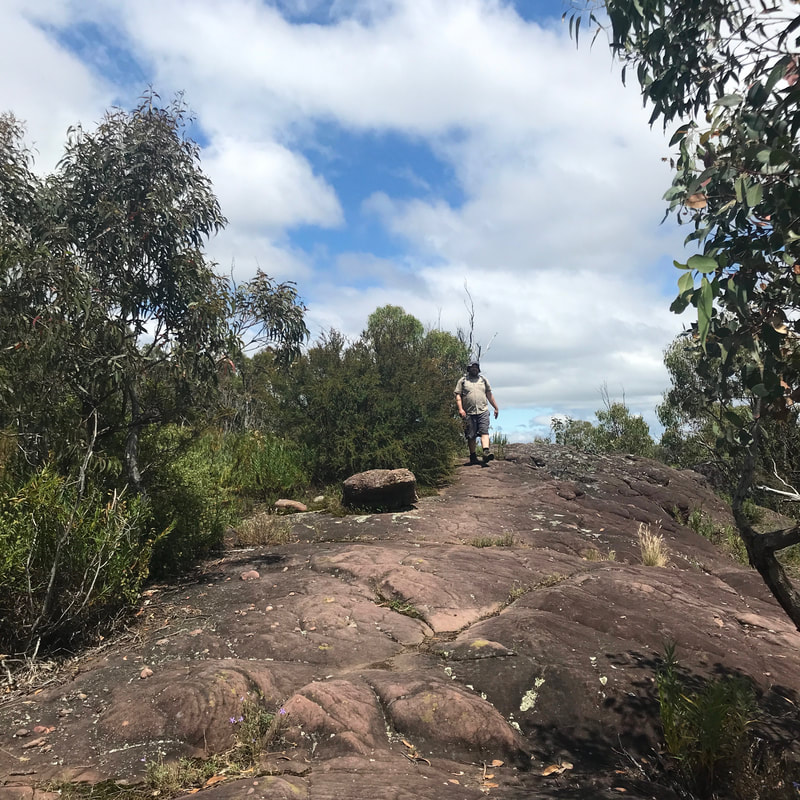
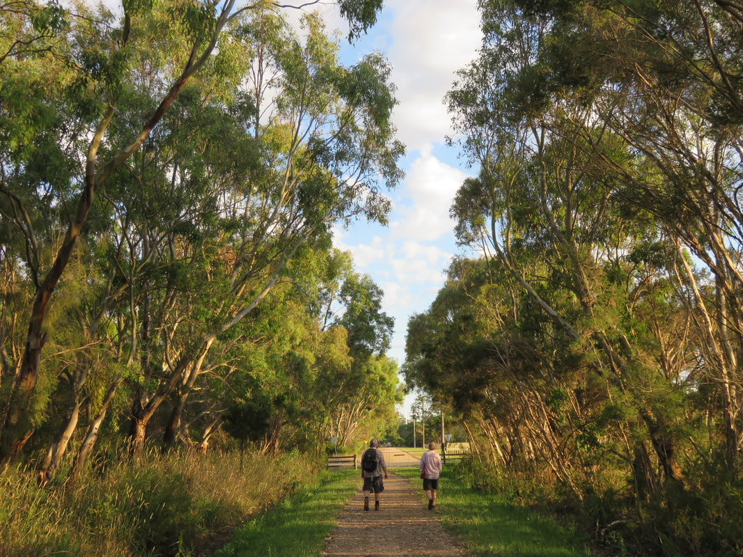
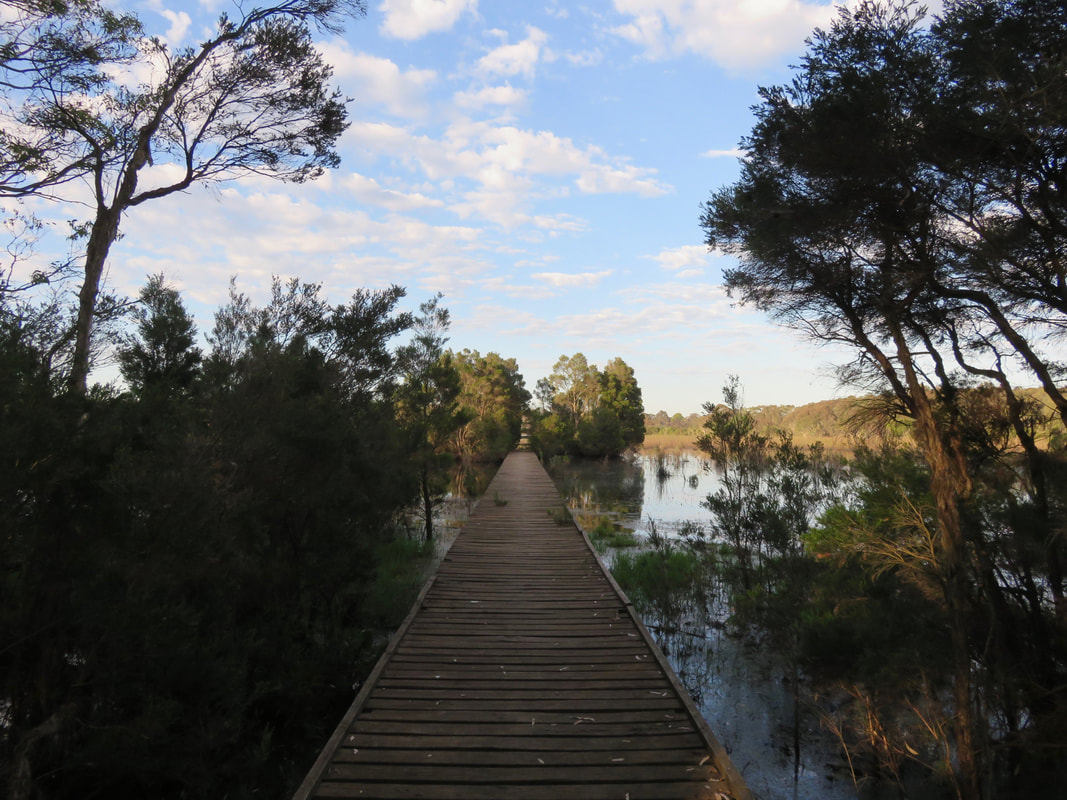
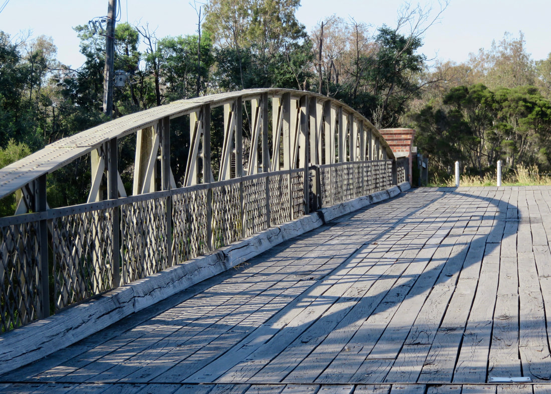
Not all the streets in town have sealed footpaths, so we spent a lot of time walking on the road or on the nature strips. This was actually quite nice underfoot, sometimes, with springy grass to soften our steps. And at the Knob the paths are all unsealed. Bonus.
Bags of horse manure beside a tree, with a sign saying
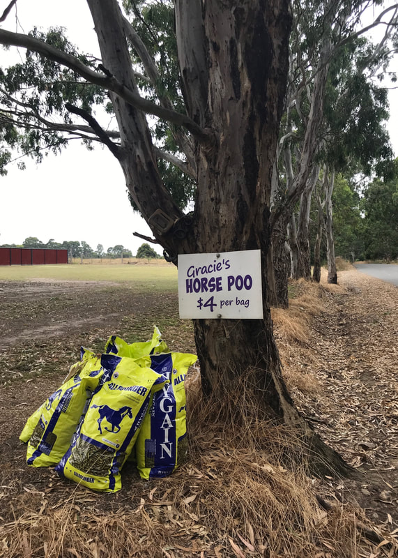
Not sure if Gracie is the horse...
Sign saying
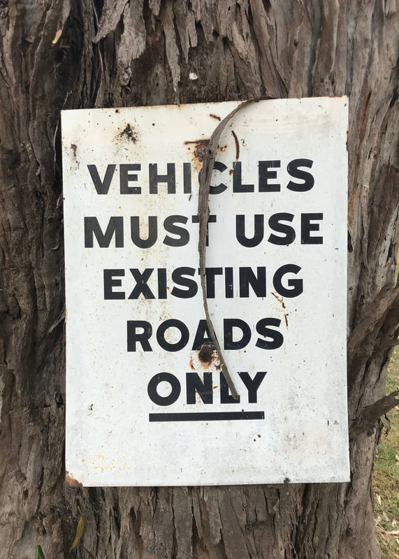
I reckon they mostly do, these days.
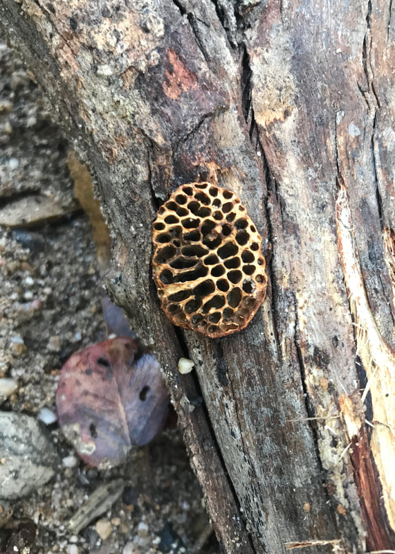
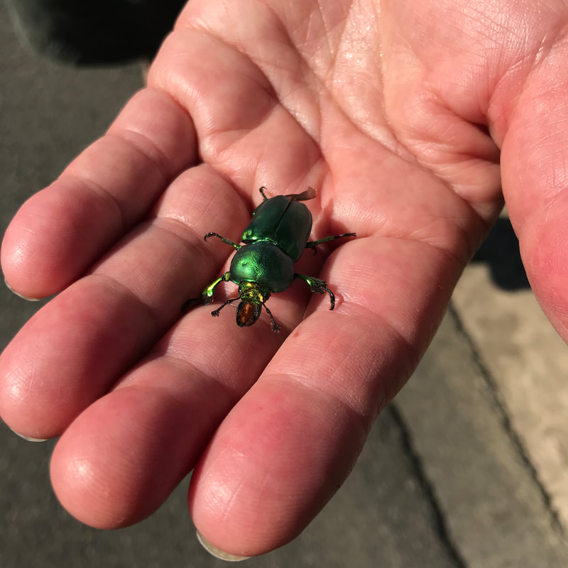
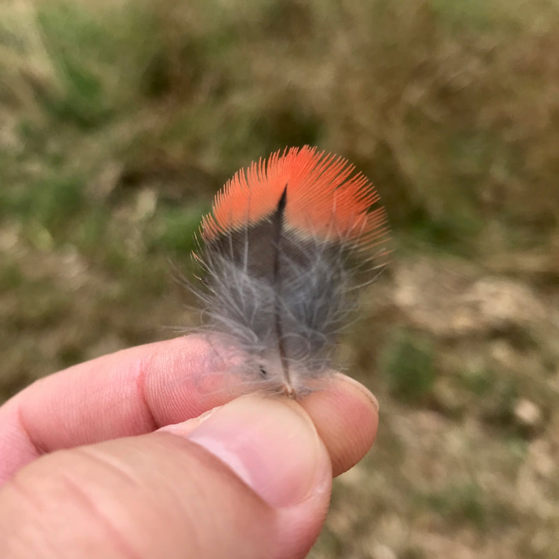
close up of fingers holding a tiny feather with red on the end
A tiny feather!
A stone with dark lines running through it
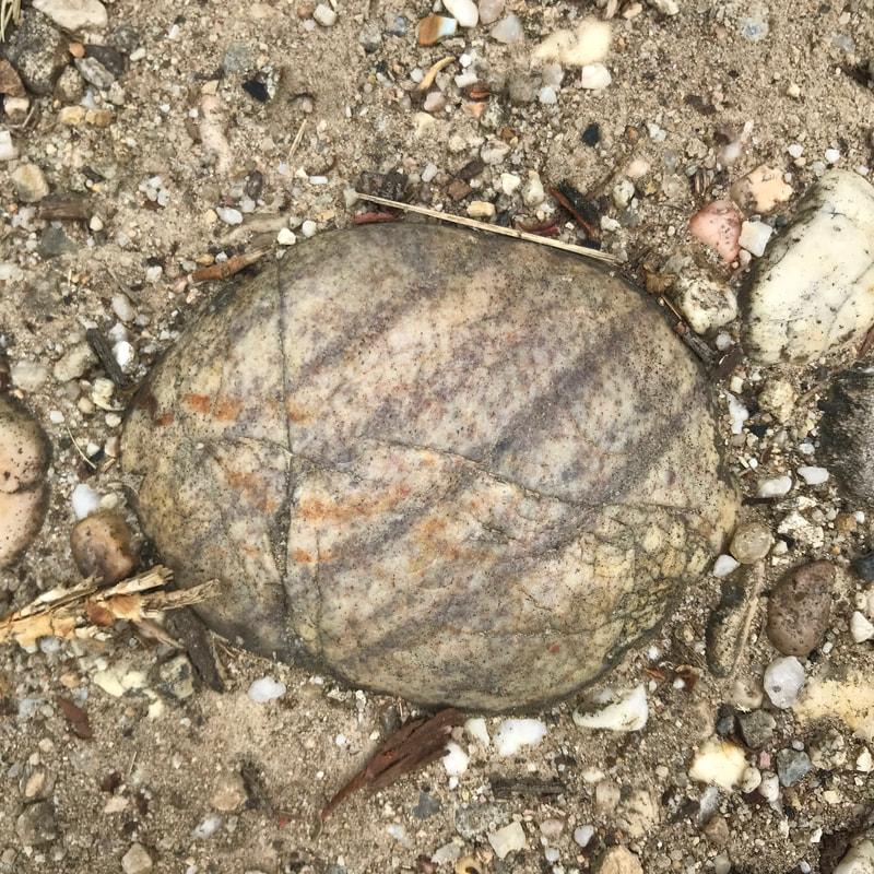
"I'm going to take a picture of this stone and put it in a blog post."
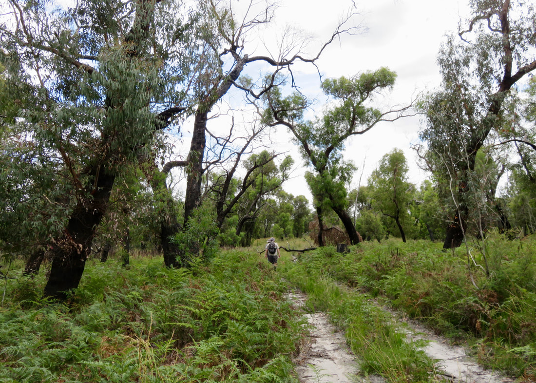
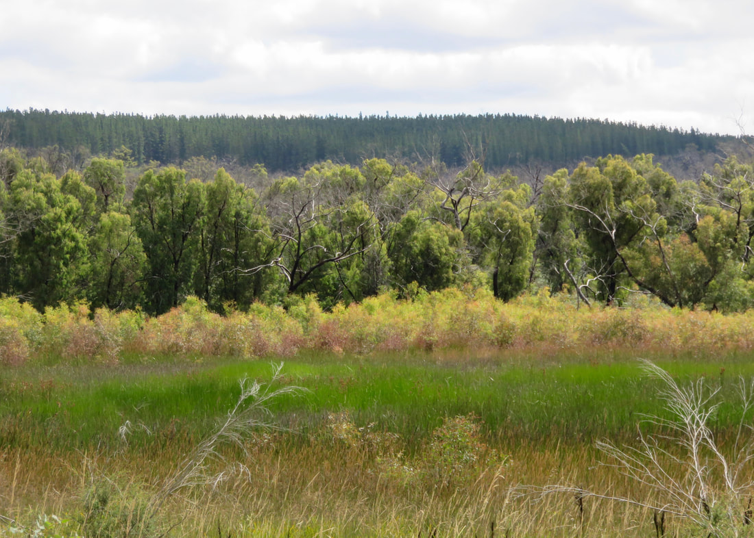
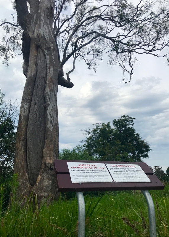
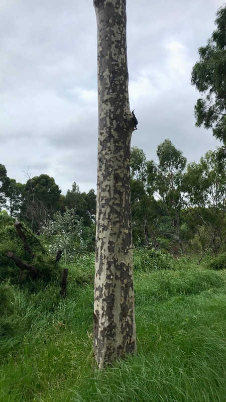
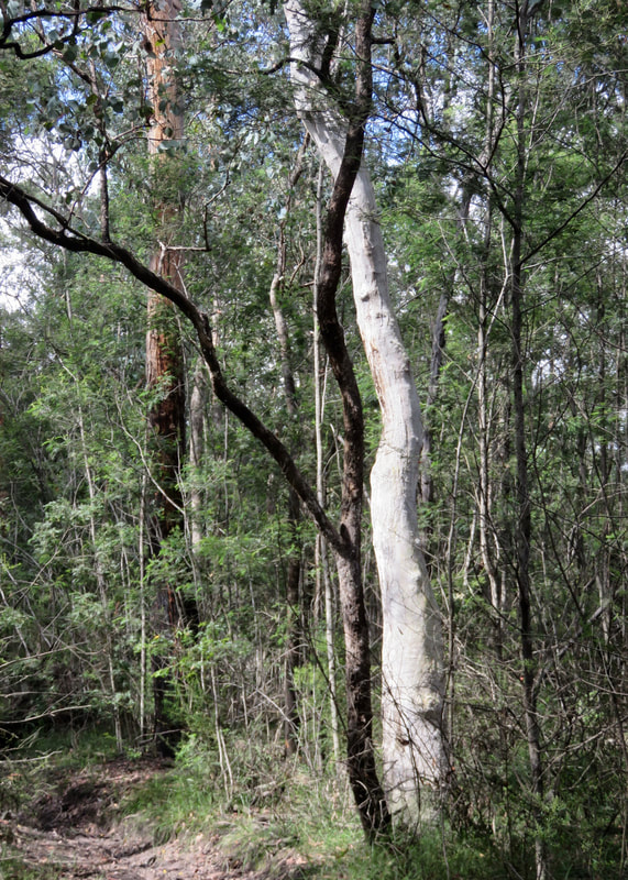
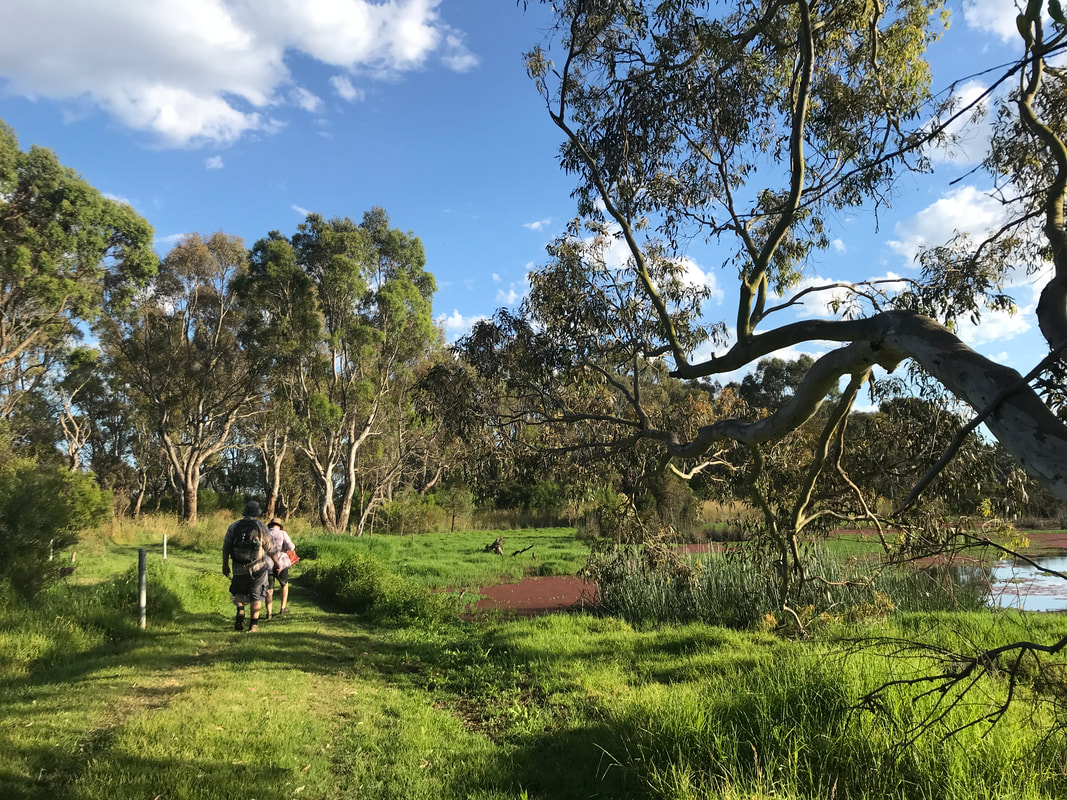
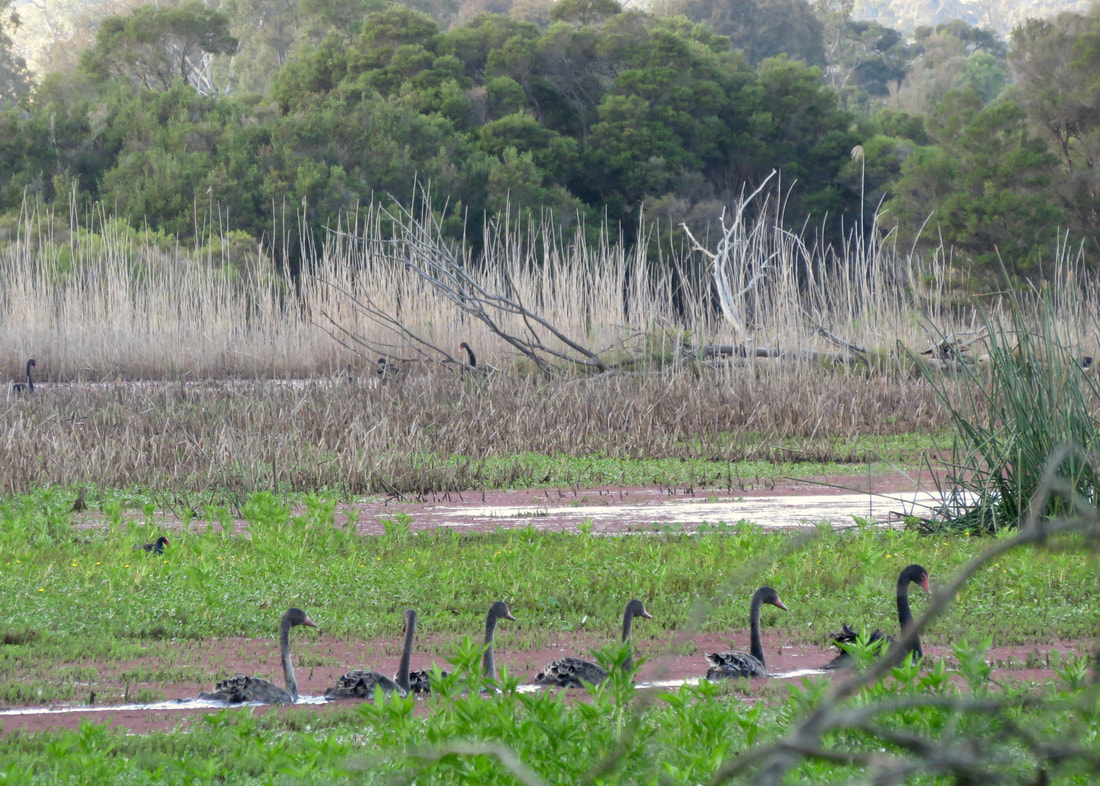
The Knob Reserve has been a gathering place since pre-invasion times. We noticed two scar trees in the reserve on this visit. After colonisation, the reserve was used as a police horse holding area, and later it became a public reserve. A couple of years ago the reserve ceased to be jointly managed by Gunaikurnai Land and Waters Aboriginal Corporation and Parks Victoria and was handed over in its entirety to GLaWAC. As you stroll around you will see new signage and other objects, and some work on a few of the paths. I’m grateful as always to be permitted to share and enjoy these places.
landscape of trees, recently mown grass, and a couple of structures
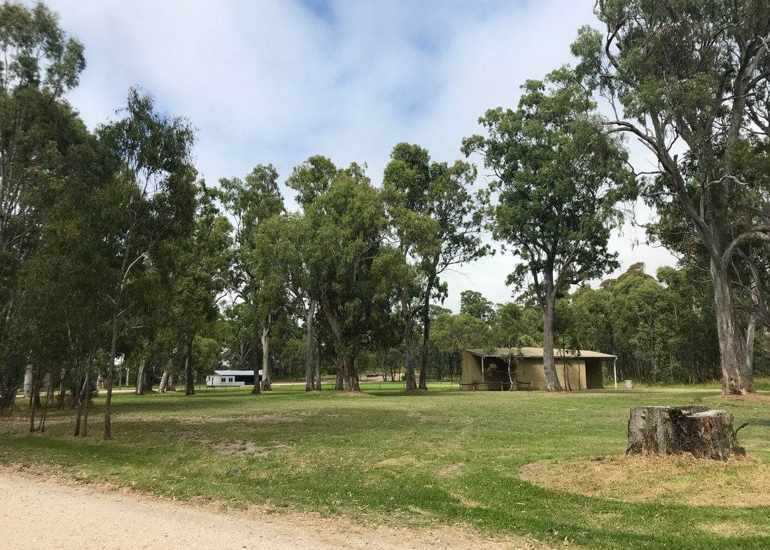
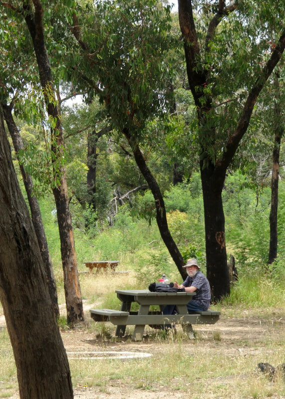
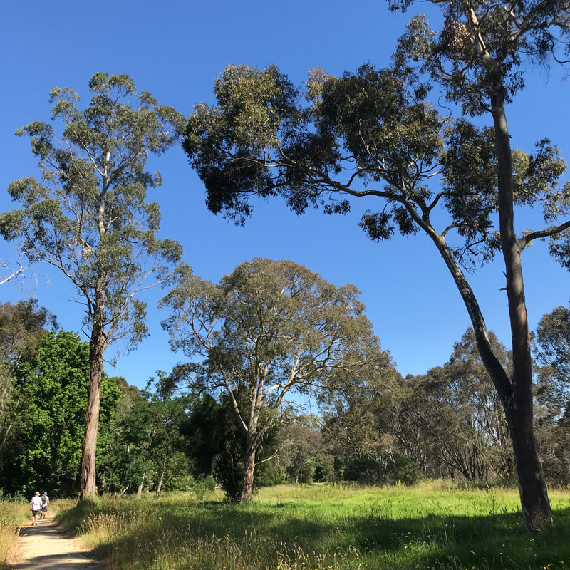
Looking towards the oval from the northeast. We had morning tea in the pale building at the back.
Landscape of a green grass oval with a basic metal fence around it, trees behind it, and a very blue sky with a couple of clouds
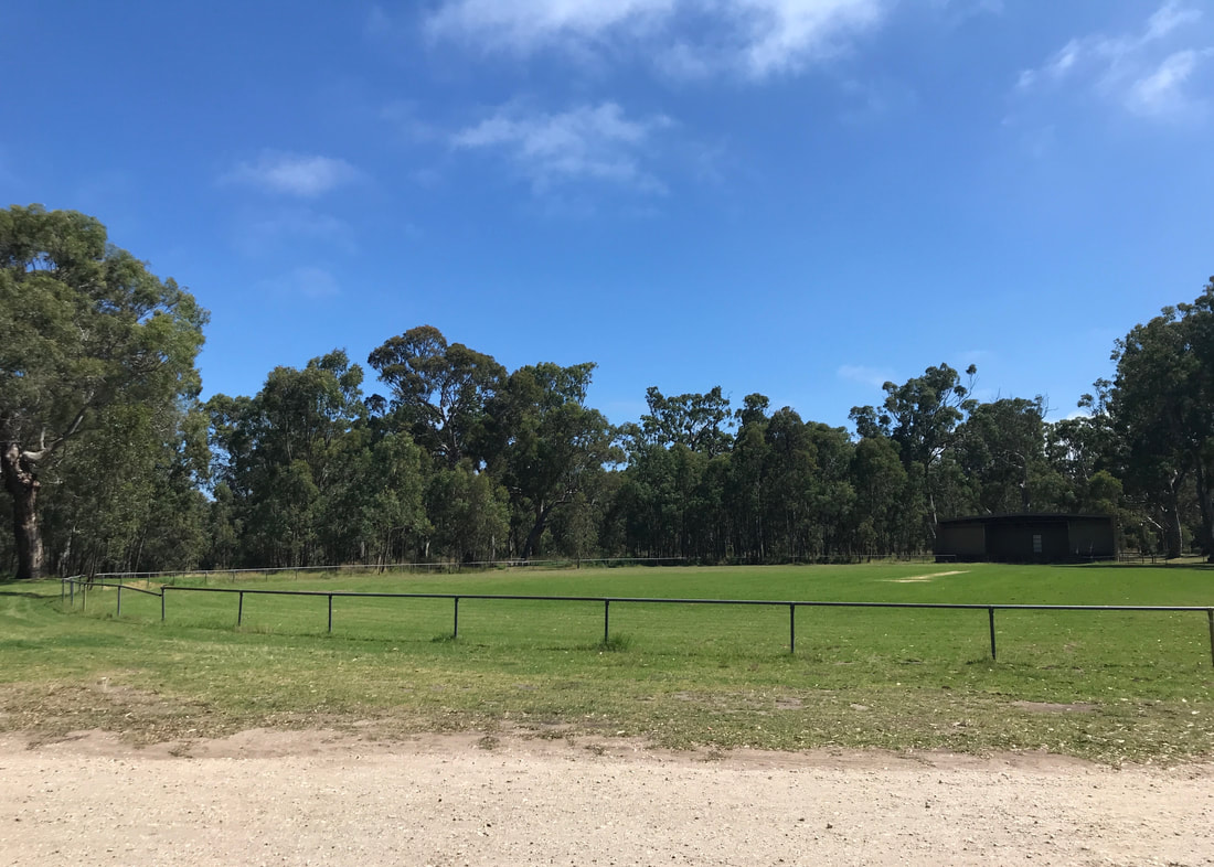
View from our morning tea spot, looking at the oval from the south. As you can see, the sun came out!
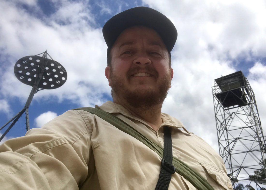
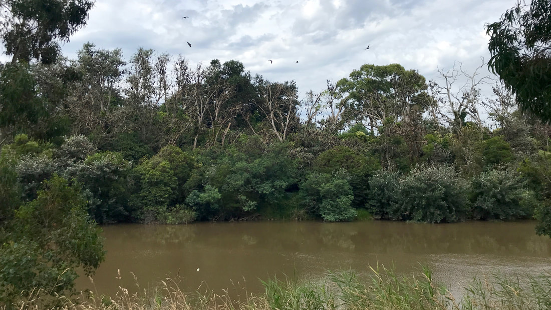
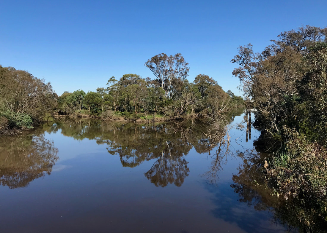
Mum and Dad did meet us with morning tea! It was delicious and I forgot to take photos. Oh well. After they left us, we popped up to the lookout at the top of the Knob. From here you get a great view of a sweeping curve of the Dooyeedang (Avon River) with a few rooftops of Stratford behind - and beyond the plains, the blue hills of the Avon Wilderness and the Alps. A photo of the view is at the top of this post. One of the most iconic peaks in this area is that of Ben Cruachan - pronounced a bit like "crow-can" or "croakin'". Benjamin, as I like to call him. (I’m guessing it’s named after Ben Cruachan in Scotland, and I’m not sure what the hill’s name is in the local Indigenous language.) One day we’ll get up there for a look - though probably not using this extremely unhelpful listing from Parks Victoria.
Tree trunk showing patterns in the grey and brown bark
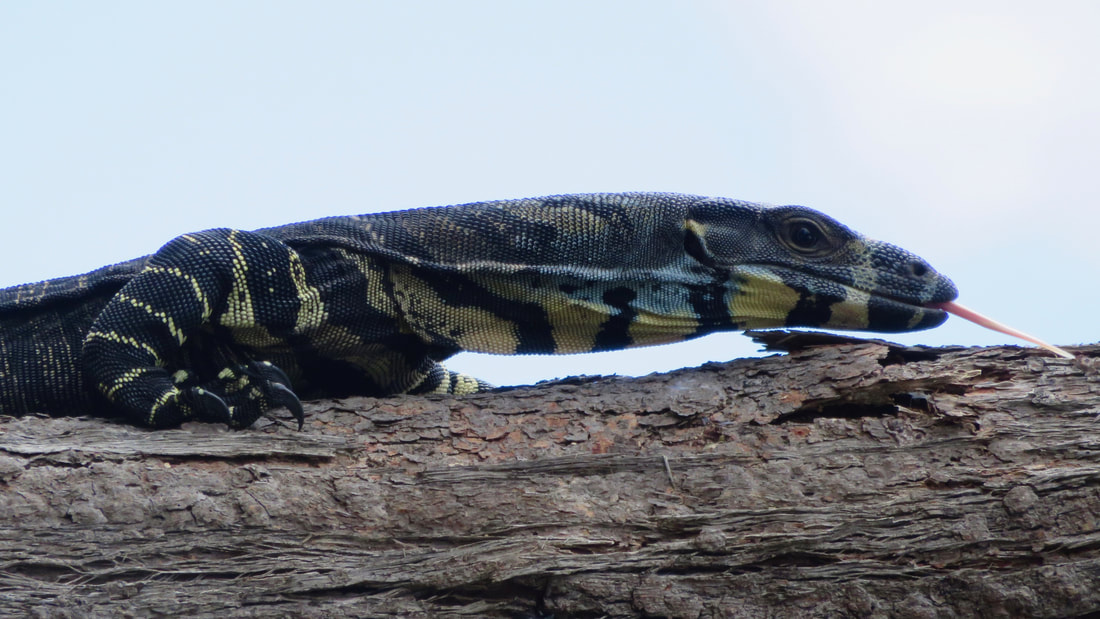
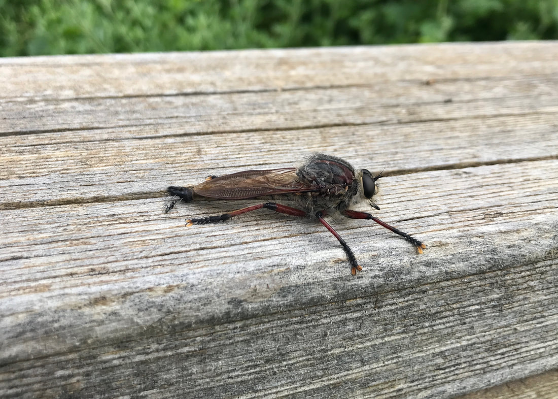
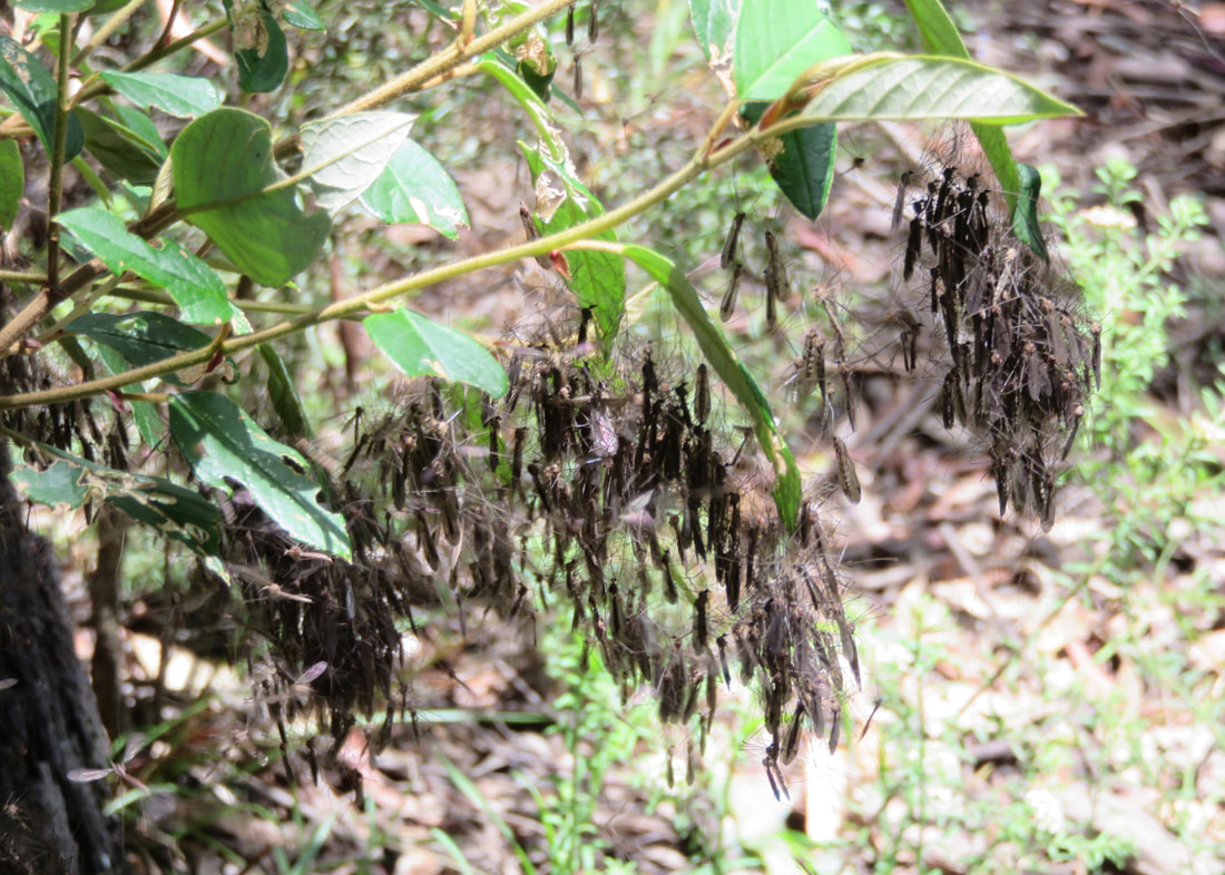
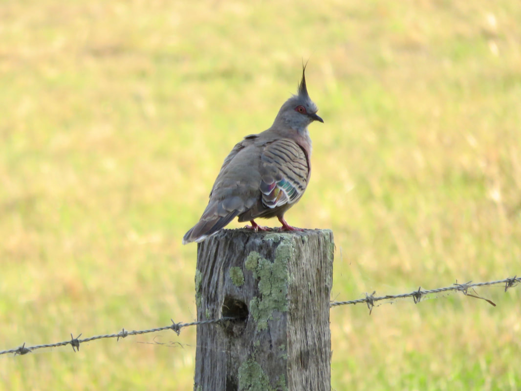
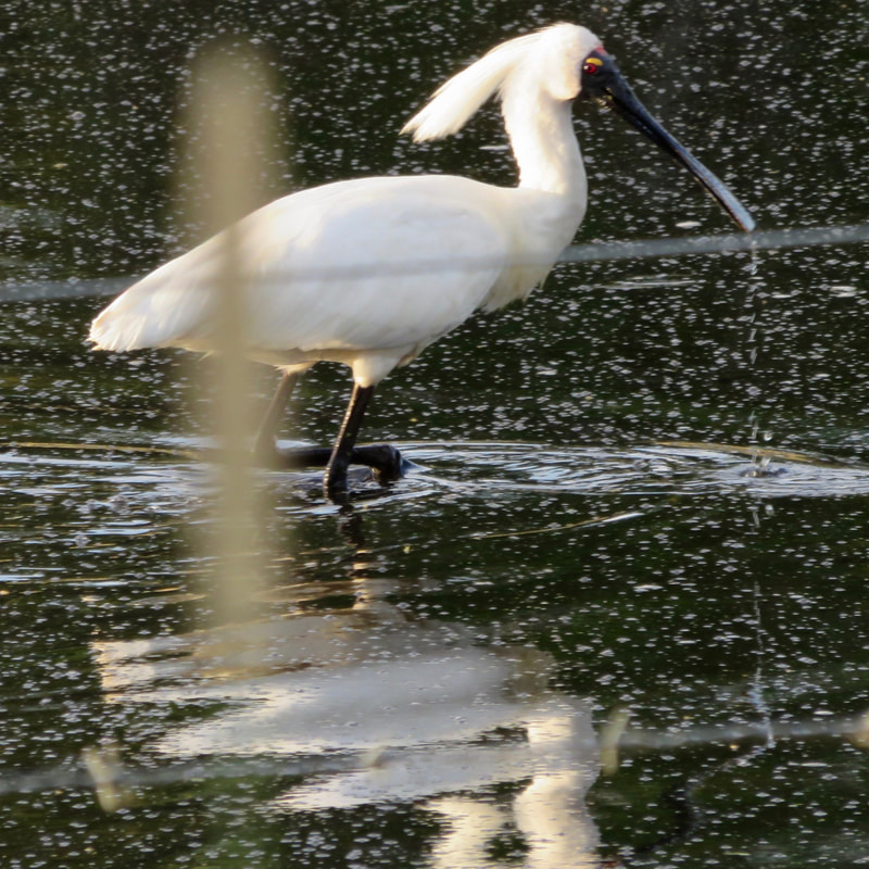
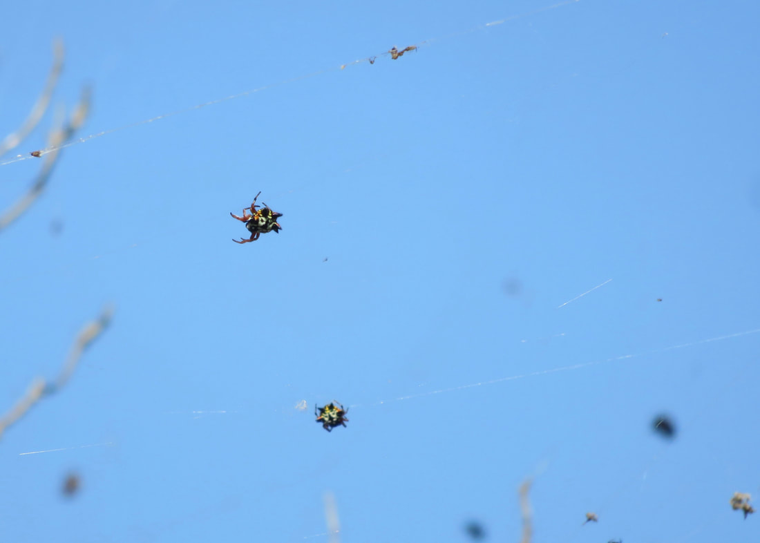
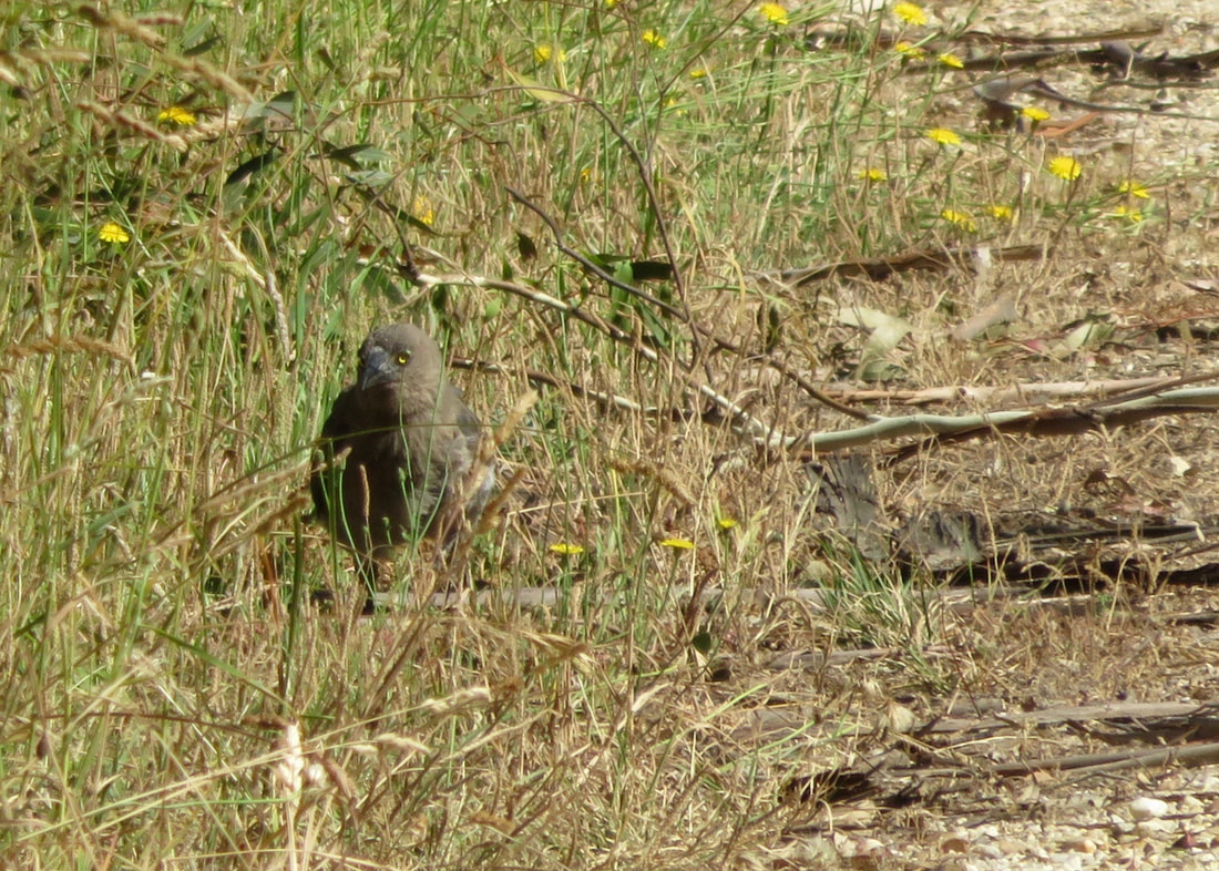
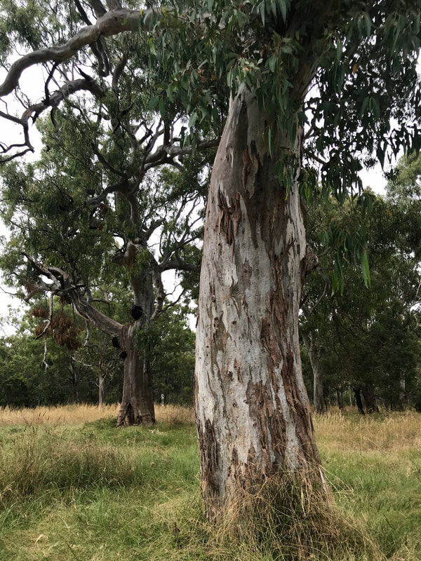
One of many lovely trees in the reserve.
a long, barred feather, brown and black throughout but with a white tip
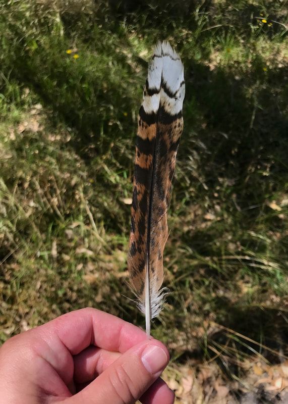
There are loads of cocky feathers at the Knob. This isn't one of them.
dead tree trunk showing recent signs of oiling up most of it topped with a metal cap
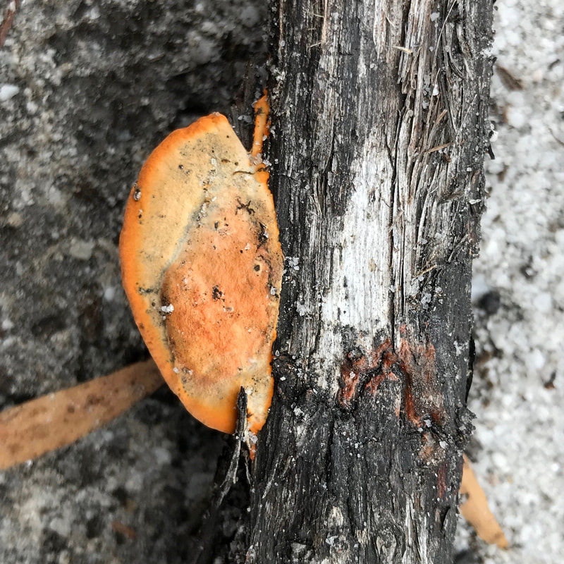
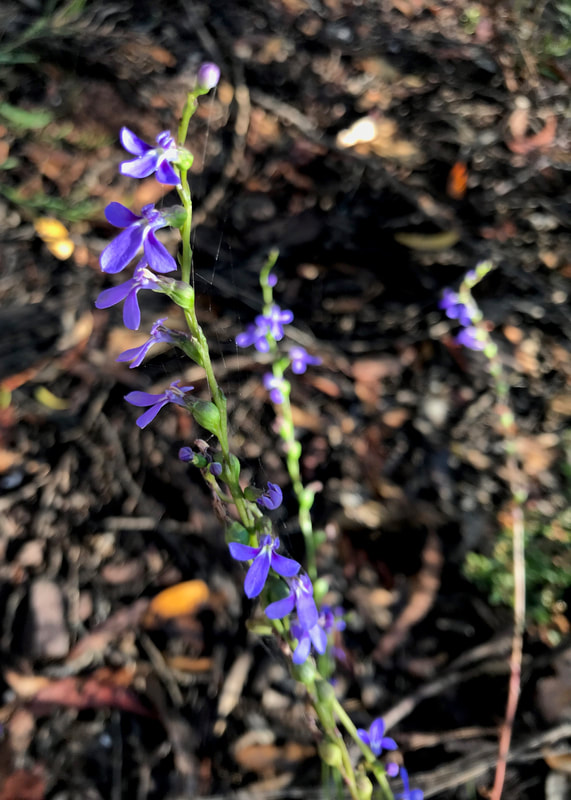
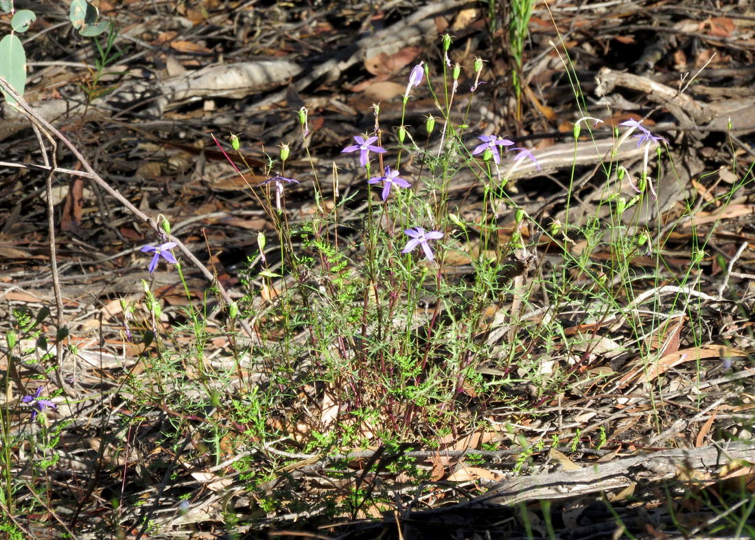
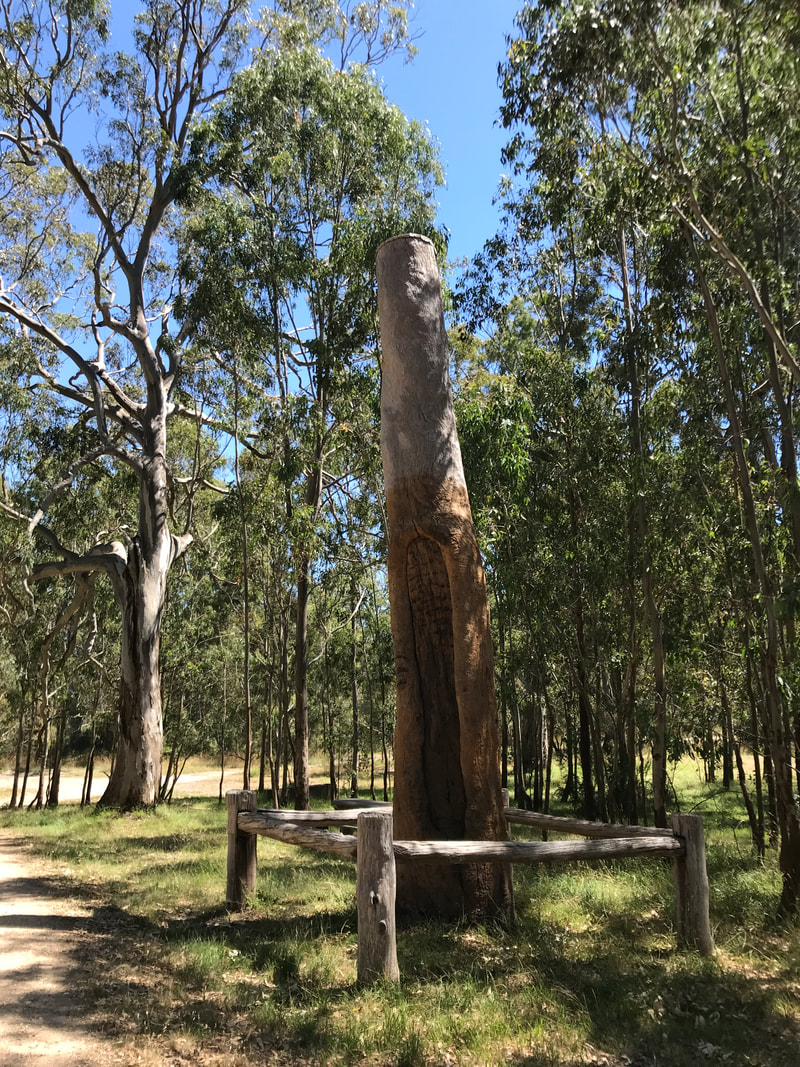
One of the scar trees, recently oiled.
Hand holding 3 juicy blackberries
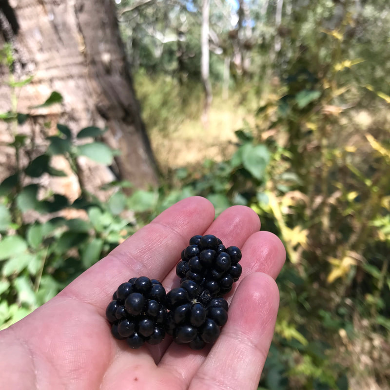
First of the season!
The sun came out just as we were having morning tea and it got pretty warm as we headed back, meandering through the residential streets of Stratford. We mostly avoided the new build suburb, both because it’s a bit ugly and because there’s very little shade. We dropped into the oval and stood in the shade of some trees watching magpies digging up bugs in the grass under the sprinklers. Later we also had a little rest on the sheltered benches in the skate park (it’s nice to be back in a country where shade is provided!) enjoying the occasional cool breeze. After a final few blocks of detour, we headed home.

Notes

I mapped this walk out after we got home, and in the end we walked about 12.5km. It didn’t really feel like we walked that far. Maybe because it was pretty flat, maybe because we had an excellent morning tea in the middle, maybe because we had lots of things to look at. I was noticeably less sore in the foot/leg department than previous walks, which is great.
Picture
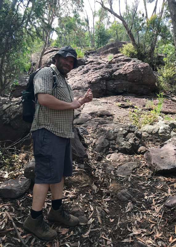
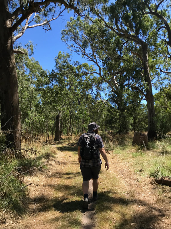
Dan on a footpath we discovered at the Knob.
dirt footpad on a wider mown grass path, with trees surrounding it
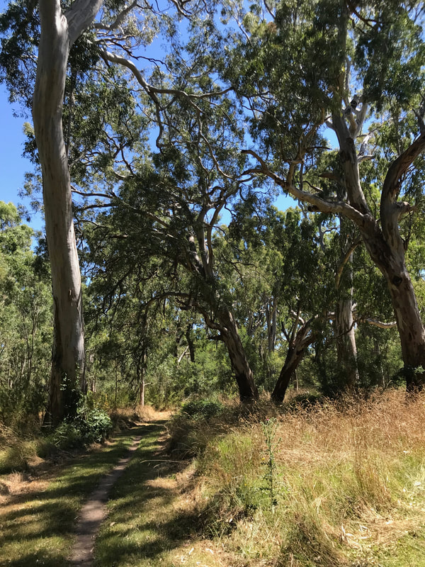
Doesn't it make you want to go for a walk?
Not so great: return of the pinch blister! I wonder if it happens more when it’s hot and I’m sweaty? Or if I sometimes walk in a particular way without realising? I Just don’t know. I am going to put tape on the shopping list - I’ve never used it before, so it’s going to be a bit of an experiment. I already know that plasters just fall off my toes, though, so I need something else.
Picture
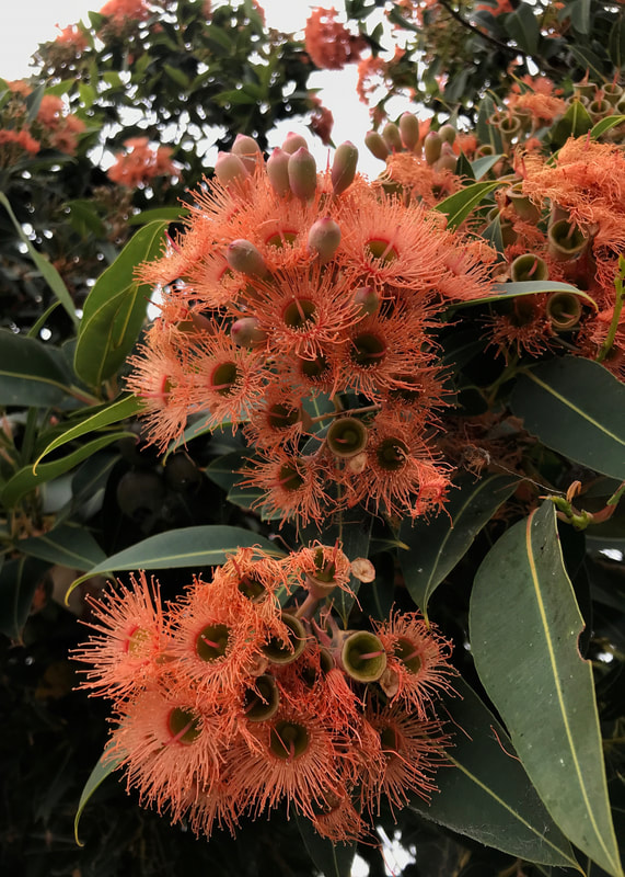
Kind of orangey flowering gum.
Picture
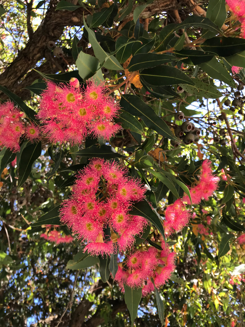
Extremely hot pink flowering gum.
Other than that, I noticed sore hips/lower back post-walk, which I’m chalking up once again to the lack of variation. I should have done a few minutes of stretching when we were halfway through. It doesn’t take long, so why do I always forget or put it off? The neverending struggle. Woe!

This walk is on the Country of the Brayakaulung (Gunaikurnai) people, and takes in a site of significance for the Gunaikurnai tribes more generally. Sovereignty was never ceded and this always was, and always will be, Aboriginal land.

0 Comments

Long Swamp Track

22/1/2022

0 Comments

 
The day after my walk in Bairnsdale, off we went for another hike! This time, the whole crew came along to explore Holey Plains State Park.
Head shot of a large lizard with its mouth open on a tree trunk
Hello! This is my favourite photo of the walk.
I wasn’t expecting to do another walk so soon, but Dan and my parents had agreed to go the night before (when I went to bed so early after the previous walk!), and I’m not one to turn down such an adventure. The weather was partly cloudy when we started at about midday and the temperature was still in the low 20s. It definitely got warmer as the afternoon wore on, though!
Three people walking away from the camera through waist-high scrub and bracken
Off we go along Long Swamp Track.
Shoe print in grey sandy soil
Someone with Altras was here. (Me.)
Red and yellow pea flowers on green spiky stems
Some sort of pretty pea-type flower.
Holey Plains was so named for the crab or yabby holes down on the flats near the creek, but this part of the park actually covers a range of gentle hills. We set out on Long Swamp Track through an almost coastal ecosystem - grey sandy soil, banksias galore, reeds and rushes and other grasses in the swamp and through the bush. A fire came through here a few years ago, and you can really see the effects. There are a lot of burnt tree trunks and dead trees amongst the bracken, some larger eucalypts with epicormic growth, a few small eucalypt saplings and huge numbers of baby banksias. That probably makes sense, as many banksia species not only survive fire, but need it for their seedpods to open.
Person walking along a track through bracken with burnt trees to the side
Note the grey soil and the new growth on the burnt trees.
tall white flower
Candlesticks!
delicate purple flower on a long stem
A pretty purple fellow.
peachy coloured leaves with green teeth on the side
New banksia growth.
More delightful (at least to me!) than the trees were the copious pretty wildflowers. There were so many delicate little purple flowers, along with yellows, pinks and whites. I was constantly catching up to the others, then falling behind to take photos. There were hardly any birds - though we did see a rufous whistler and heard a shrike thrush - but while looking down, we noticed tracks of a horse (shod) and what we thought might be goanna (monitor lizard), as well as plenty of wombat poo and a few possible emu tracks. We also found one particularly big spider, which Mum almost walked straight into - the worst person in the group for this to happen to, as she hates spiders!
View of reedy swamp with grey and green trees behind
Looking out over the eponymous Long Swamp. It's not really that long!
Large, round spider with brown, grey and orange patterns
Look at this lovely specimen! So cool.
Small green shoot emerging from the ground
Hope springs eternal, as does bracken.
This was a walk we’d been thinking about doing for a while, although after the Mt Hedrick incident we weren’t sure if we could trust the map! The trail was listed on the map as about 3.4km each way (3.5 according to AllTrails, 3.2 according to the signage). We decided to go south to north, planning to stop at the picnic area on Holey Hill, do a loop of the Banksia Forest Walk, then head back. When we got to the northern end, the loop walk was not signposted and not even remotely visible on the ground. I guess the map was made before the fire came through, and presumably the fire wiped out the walk - and possibly the banksia forest - and the powers that be have not reinstated it. I really wanted to get my 10km in, so I walked about 1km one way down Holey Hill Track and back before lunch (with Dan) and then down to the junction of Seldom Seen Track after lunch (with Mum).
A yellow gravel road runs downhill with a view opening up beyond to more forested low hills
The view west from Holey Hill, looking down the road towards the junction with Seldom Seen Track.
Selfie POV with sky, marker and tower behind
The top of Holey Hill - survey marker and derelict tower.
Person sitting at a picnic bench surrounded by trees
Time for lunch.
Picture of a pale dirt road with orange netting and a ROAD CLOSED sign in the foreground
This is Seldom Seen Track. I guess we know why people don't see much of it.
We appreciated having the picnic lunch with us this time! We ate leftover pizza and some chocolates, then headed back down Holey Hill, past the swamp and back to the car. Just before we finished, we saw a goanna (aka monitor lizard)! It was so delicate, very small for a lace monitor, with pretty markings on its body and legs. It seemed pretty chill, climbing up a burnt tree trunk, having a yawn and then (we think) eating a few ants. So cool!
Large lizard on a tree with its tongue poking out
Hi! It's my friend again. Look at those patterns.
I wasn’t sure I’d made my 10km yet (though later mapping showed that I had), so I suggested we do a loop of Harrier Swamp, marked on the map. We drove there and found the site complete with the promised camping area, picnic bench, fire pits and drop toilet… but the walk was closed due to fire damage. Those fires have a lot to answer for. At least this little detour gave us a chance to enjoy the view to the north from the hill on Wildflower Track.
Hazy view over plains with paddocks and trees to blue hills beyond
The view north from Wildflower Track. Mount Hedrick is out of frame to the right, I think.
delicate 5 petal purple flower cupped in a hand
Another purple friend.
Small 4 sided structure with an open door and floating roof
The height of luxury at Harrier Swamp.
This was a very nice spot to visit, and I think we might come back to do some walks using the quiet roads in the park.

Notes

Just a reminder, this section is about my fitness as part of preparing for a long walk later this year. If you’re not interested in that, please skip over it!
I walked 10-11km including the extra sections at lunch, but I didn’t really time things. It took us a bit over an hour to do the first 3.5km and I imagine we were a bit speedier on the way back as it was downhill and we didn’t stop as often. The path and roads were sandy, the undergrowth slightly infringing on the track in places and causing a few little scratches. Not really gaiter-worthy, though. Most of the walk was over gentle ascents and descents, apart from the last short stretch up to the top of Holey Hill.
Looking over a green marshy area with green trees and then a plantation covered hill behind
Layers: sky, plantation, bush, swamp. This is at Harrier Swamp.
hand cupping several purple flowers on long stalks
Oh, look. Purple flower.
Small orange bracket fungus on a fallen branch
OK, let's have an orange fungus for a change!
It was good to do >10km walks two days in a row, to see how my body held up. I was less sore after this second walk than after the one in Bairnsdale, which was good. I can feel my calves starting to develop, which means I probably need to start doing some squats or something to get my glutes working and even things up in my legs (I have been told that uneven development can cause or exacerbate knee issues). Any suggestions for non-squat alternatives? I don't like squats so I never do them. My right calf is tighter than my left, too, so I concentrated on stretching that out after. My feet were, as usual, a little sore - but nothing lasting. No blister under that pesky right toe, either - yay!
Dark green sign for Harrier Swamp, covered with a no entry notice
No entry - closed due to fire damage.
I have had a slightly achy neck and shoulders after the last couple of walks. I think this may be from only having a shoulder bag to carry - I don’t have a good daypack, and the very average one that I do have is still in a box on a ship somewhere. I swap from side to side with the shoulder bag, but it's not perfect. I should probably invest in a decent small pack for shorter day walks.

This walk is on the borders of Brataualung and Brayakaulung (Gunaikurnai) Country. Sovereignty was never ceded and this always was, and always will be, Aboriginal land.

0 Comments

Solo walk along the Wy-Yung (Mitchell River)

20/1/2022

0 Comments

 
It was a relatively cool, overcast Monday morning when my parents went to Bairnsdale to pick up some supplies (a particular type of flour, some horse poo, the usual). I didn’t get a chance to do a long walk last week, so I hitched a ride with them with the intention of notching up another 10km along the paths beside the Wy-Yung (Mitchell River).
River surrounded by overhanging trees with a road bridge in the background
Looking towards the Princes Highway bridge from the footbridge near Howitt Park.
My folks dropped me at Howitt Park and I started by taking my favourite route down the hill: the big slide! It’s not quite as fun as it was when I was a kid - no metal surface to burn my legs on the way down, no risk of flying off the side - but it was still an adventure. I lost half the contents of my bag on the way down, and a small child coming down next helpfully picked everything up for me. Thanks, kid.
Selfie of a smiling person at the bottom of a yellow tubular slide
I'm not saying this was the best bit of the walk, but it was definitely in the top 10 moments.
Tree with large pointed-oval scar and an information sign
Gunaikurnai ancestor scar tree at Howitt Park.
Swing footbridge with a no diving sign
Over the backwater we go!
I set off at a good clip along the north bank of the river, knowing that it would be a flat walk and wanting to get some speed into my training after the last couple of slow goers. Dan stayed home, so it was just me, the butterflies, a juvenile silvereye . . . and hundreds of mega bats, aka fruit bats, aka flying foxes! So much for not stopping. I constantly paused to listen to the bat chat and look at the furry little faces hanging from the trees around the path. The signs say this is a “colony of national significance” which “forms a vital link in a chain of camps between Brisbane and Adelaide.”  The main part of the colony was on the opposite bank, but occasionally a few would fly across to join the smaller (but not insignificant) groups in the trees surrounding me. I'd decided not to bring my camera, just the phone, and now I regretted not being able to get some good shots!
Yellow gravel path between overgrown grasses and scrubby green trees
The first part of the path had quite a lot of weeds and non-native planting, but it was a a good start anyway.
Water fountain and bottle refill station
There were a few of these - I used them!
Sign noting the work of Bairnsdale Secondary College and the Bairnsdale Urban Landcare Group
Thanks, folks!
Sign saying CAUTION snakes inhabit this area
Just because I didn't see them...
Hardly anyone else was using the path at the start of my walk. I saw one jogger just before Lind Bridge, at about the same time the first drop of sweat rolled down my buttcrack (despite the clouds and low-20s temperatures, it was pretty humid). When I passed under the bridge I met a handful of people from the Gunaikurnai Land and Waters Aboriginal Corporation who were spraying weeds, clearing grass with ride on and push mowers and trimming some harder to reach spots with whipper snippers (strimmers). It was good to see folks looking after the area.
Photo looking across the river to a stand of trees, some bare of leaves, with bats roosting and flying
Bats! Can you see them roosting in the trees on the other bank?
Bats roosting in a peppercorn tree
A few friends hanging out near the path.
Brown river with vegetation on either side and a concrete bridge in the background
Looking upstream to Lind Bridge.
West (upstream) of Lind Bridge on the north side of the river, the trail is much less made. It feels more countryside-ish on the outskirts of town. From the map, I expected the path to end after about a kilometre. Sure enough, I ran out of dirt footpad then continued on a grassy path until it became completely overgrown. I turned back towards the bridge, spotting a few cheeky rabbits on the way. On the other bank, I saw a group of what looked like teenagers on a DofE excursion (not really a thing in Australia) - big packs and slow walking. I wondered what they were doing and if I’d see them when I headed up the other side of the river.
View to the other bank of the river, with several small figures beneath a tree
Hello, fellow walkers - I hope we meet!
Narrow gravel path between wattle trees
The path upstream of the bridge on the north bank.
Small, flattish pinky-red berries
Not saltbush, but looking very similar. Not very tasty.
After crossing Lind Bridge I once again turned upstream, this time on the opposite bank. A boat sped past and disappeared around a corner. I watched a tractor ploughing the dark brown soil on the river flats. Cockies, magpies, flycatchers, ibis and willie wagtails kept me company. I passed the end of Webbs Road, then a stockyard and then, as I arrived at Picnic Point, I caught up to the group of walkers I’d seen earlier. They were a group of teenagers at a summer camp, who had walked down the river the day before, camped overnight, and had just arrived back at their transport. Their leader said they were about to have a dip in the river and a bite of lunch, then they’d head off. It sounded like a good adventure, and most of them looked suitably fed up.
Two gravel path merging beneath trees, with a yellow ROAD ENDS sign
What I like to see at the end of Webbs Road - walkers (and cyclists, and scooters, and horses) only!
A few large, purple berries on long grassy stalks
Purple flax berries.
Little white blossoms
White blossoms of some kind. Looks native.
Although I often came to Bairnsdale as a kid, I don’t ever remember visiting Picnic Point. In the old days, people used to come up in a boat from the Port of Bairnsdale to, you guessed it, have a picnic. It’s  a small reserve in a bend of the river with a few paths to explore. I went as far upstream as I could, over a very small creek, to the road and back. Then I climbed the little hill where I found a covered bench to stop for a while and eat a lot of chocolate!
A hand holding two bars of chocolate with out of focus grass and trees in the background
A picnic at Picnic Point. "Share bar" my foot.
Picture
Stockyards. Not in the city any more!
Picture
Tractor ploughing a field (oops, I mean paddock). Ditto.
Instead of retracing my steps along the river, I walked back down to the bridge along Webbs Road. It was nice to get a different perspective and the road was unsealed all the way, which made for easy walking. Only one ute came past, so I didn’t have to spend my time jumping out of the way. There is so much feral fennel flowering at the moment. Although it’s not native, the bees seem to enjoy it, and in combination with what I think are purple verbena/vervain and chicory (also not native), it made for a pretty roadside.
Straight stretch of gravel road bordered by the yellow flowers of feral fennel
Fennel, fennel everywhere! If I don't look too closely this could almost be a road in the UK.
Light purpley-blue flowers on long, straggly stems
I think this is chicory. Wonder if I can eat it?
Picture
And I think this is Verbena bonariensis.
I had walked further than I’d intended and was running a little behind schedule, so I picked up the pace back towards town on the south side of the river. I hadn’t recorded the bats earlier, thinking that I’d wait until I was under the main colony, but when I reached that area I found that the walking track was diverted around it and up onto the street. I suppose it’s fair enough, but it did mean that I couldn’t get the recording I wanted!
Gravel road through scattered trees and green grass
Downstream of Lind Bridge on the south side of the river. The grass is unbelievably lush for the middle of January.
An extremely large, long fly on a wooden fence
I believe this is a robber fly. Big fella.
Thinnish tree trunk with spotted patches of grey and cream bark
Probably spotted gum/Corymbia maculata.
I didn’t make it all the way back to Howitt Park, in the end. Mum and Dad met me on Mitchell Port Road so they got to have a look at the bats, too. They brought hot cross buns, which were a much-appreciated snack. Just as we were finishing up, it started to rain.
Denuded trees with dozens of large bats hanging from the branches
The bats, as seen from the section of diverted path. They are so cool to see, very noisy, and not at all smelly.
On the way home, my folks got both a bag of horse poo and a bag of alpaca poo. Fancy.

Notes

In the end, I walked just over 11.5km in just under 2 hours and 45 minutes, including stopping for rests and to record and photograph bats. This is almost exactly the 4 kilometres per hour that I usually estimate as my walking speed. I was a little surprised that I wasn’t quicker. Maybe I’ll come back and do this walk again and try to beat my time!
Picture
A bee enjoying the fennel beside Webbs Road.
The surface was pretty nice for walking as it was almost entirely gravel, with a bit of grass and only a very small amount of sealed path. The weather was pretty decent for walking, too, though a few percent less humidity would have been better. Later in the day, I had quite sore feet and a little bit of an achy lower back, again because there wasn’t a lot of variety in ascent/descent. It was all better the next morning. The blister under my second right toe has healed up and I didn’t get it this time. I wonder if the callus forming there will prevent this from recurring? I am still getting some pain in that toe more generally, which hasn’t improved over the last couple of months, but hasn’t got worse. I guess I’ll just keep an eye on it. I was extremely tired after this walk, which might be due to other things, but it’s probably worth remembering to do a bit more prep in this regard as the walks get longer - proper meals beforehand and some scroggin to take along (any excuse for scroggin, really).
Picture
The outdoor gym overtaken by grass gave off a slightly post-apocayptic vibe.
It was fun to walk by myself for the first time in a while. I do enjoy walking with other people, but there’s something very satisfying about being able to (and needing to!) do all the regulation for myself - when to stop, when to speed up, which way to go, when to drink, when to eat. It’s also really relaxing to have some time alone with nature.

This walk is on the Country of the Brabralung (Gunaikurnai) people. The name of the river, Wy-Yung, is the word for spoonbill. Wy Yung is also the name of a suburb of Bairnsdale. This always was, and always will be, Aboriginal land.

0 Comments

Mount Hedrick and the Unexpected Detour

9/1/2022

0 Comments

 
So much for easing into things… This 3 hour stroll accidentally turned into a 5½ hour hike, in which we saw a little more of the bush than we intended!
Landscape of forested hills with a foreground of a rocky bluff
On the bright side, if we hadn't gone the wrong way, we wouldn't have got this specific version of the view.
After a week of rain, rain and more rain, it was time for an outing. Dan and I were meant to be visiting a friend on Saturday but, due to complicated Covid things, we had to postpone. (Don’t worry, we’re fine for now - in fact we got our third doses this week!) Instead, we brought my folks along for a walk at Mount Hedrick in the Avon Wilderness Park. Well, I say we brought them along, but really Dad drove us up there in “the big car” in case the roads were a bit crappy after all the rain. We had what looked like a 3-4 hour window before it was going to storm, so we started the walk earlyish - around 8:30am.
Landscape of distant blue hills framed by foreground vegetation
The hills of the Avon Wilderness stretching as far as the eye can see.
flowerhead that looks like a wheel with spokes, with tiny flower things at the end of each spoke
We saw tonnes of these cool little plants.
Four ant holes with high walls around them
Yep, definitely back in Australia!
I’ve been trying to find my way around AllTrails. It seems to work OK for me on the browser, but I can’t log into the app. Anyway, I saw a couple of routes on there, but decided to make my own approx 10km loop based on data from AllTrails and from the info sheet from a Victorian Government website (which I now realise is from 2004, when DELWP was the DSE). On paper the walk looked pretty simple, and I just assumed that it would be a well marked trail. However, we missed a turn-off, which was not signposted, and ended up taking a bit of a detour on a path that was not marked on any of the maps. Although we were all fine in the end, it did add a couple of kilometres and a pretty steep - but spectacular - ascent to the top of Mount Hedrick.
a burnt tree trunk with an orange triangle blaze and three people walking along a path
This is the way. (It really was... If only there was a little more information on some of these blazes!)
delicate purple flowers above leaf litter
If you like purple flowers, this is the walk for you.
tiny honeycomb in an oval shape on a fallen branch
A tiny honeycomb - from some kind of tiny bee?
Rather than doing a full description, here’s a list of things we discussed towards the end of the walk - things that went well vs things to learn from.
Landscape of forested hills
I'm keen to explore a lot more of this area, and this was a good start!

Good things

  • There were loads of different wildflowers.
  • Also huge numbers of butterflies.
  • Really interesting rocks - the round stones indicating ancient riverbed, conglomerate boulders, etc
  • We had extra sunscreen with insect repellent, so nobody got burnt or eaten.
  • Although we went off-route, we were able to reorient ourselves pretty easily (once we had a bar of 4G!)
  • We had brought more water than we thought we’d need - which turned out to be enough… just.
  • We had a snack with us and a picnic waiting in the car.
  • Amazing views at different points, looking into the hills and out onto the plains.
  • For me, the scrambling up the rocks to the top of Mount Hedrick was an absolute highlight, and I can’t wait to head out there again!
  • Although we were pretty hot and bothered, we took our time, stuck together and kept in pretty good spirits.
  • Despite the forecast, no rain eventuated - I’m glad we weren’t hauling ourselves over those boulders in a thunderstorm!
  • We didn’t have anywhere we needed to be, so there was no stress around us taking more time.
  • We all made it without any emergencies!
Large snaile with a long, slightly pointed shell
A very handsome native snail.
a knobbly reddish rockface
How cool is this rock!?
a white trunked dead tree beside a black trunked live tree
Black and white in the bush.

Things to learn

  • I haven’t done much bushwalking in this area, and my assumption from reading the info sheet was that the whole loop trail (not just the walk from Huggetts Lookout to Mount Hedrick) would be well signposted. Now I know not to assume and to pay more attention to the contour maps before I leave. AllTrails relies on internet connection or a DLed map and we were out of range at the point where we missed the turning, and the info sheet doesn’t have contours. I don’t think we would have missed the turnoff (or we would have turned back) if I’d had a better idea of the geography of the area.
  • Bring the PLB, just in case. At some point I’ll be deciding on a tracker (Garmin InReach or InReach Mini) and will bring that along on my walks, too. If it’s the InReach, I can load maps and trails into it to help keep on course.
  • Carry an antihistamine in my first aid kit (for other folks more than for me) - and always remember to actually bring said kit!
  • Bring extra snacks. We were fine, but it would have been nice to have something else to go around.
  • When unsure of your location or cranky and overexerted, sit down and have something to eat and a sip of water. I mean, we know this and we did it, but it’s worth reiterating!
Slightly hazy view over plains with paddocks and trees
Hopefully I'll get back up here on an even clearer day - and maybe I'll bring some binoculars, too!
Purple daisy like flower with yellow centre
Purple daisy.
Person pointing at a rockface behind them
Dan indicating where the path goes next!

Notes

The walk ended up being approximately 12 kilometres long, with just under 500 metres of ascent, and it took us 5½ hours. We did go very slowly up the steep side of Mount Hedrick and other slopes, making sure my 70 year old (!) parents were doing OK! As well as the ups and downs, the surface of the trail included sandy gravel road, paths with lots of loose former river stones (ankle breakers), sections of slightly overgrown track, a few blowdowns to negotiate, and some fairly easy rock scrambling. The temperatures were in the mid-20s, and it was very humid.
big clusters of winged insects hanging off a leafy twig
These clusters of insects are kinda cool and kinda creepy looking!
Person walking down a long smooth stretch of reddish rock
Finally, on the way back down the hill!
long green sprigs with purple flowers along the stem
Another purple flower.
The variety meant that although this walk was a lot more strenuous than last week’s, I didn’t have the same kinds of aches to contend with. Although I forgot to buy tape for my second right toe, I only got a small blister. Once again, I forgot to wear my sunglasses (even after I went back to get them!), but it was fine on the headache front - possibly because the path itself was often in shade or covered in leaves, rather than bright and reflective. I should remember to bring the poles for hikes like this - could have been quite handy on some of the uneven surfaces and hills. Other than that, just the usual residual achiness of feet, ankles and calves. In fact, the next day, I can really feel that my lower leg muscles have done a lot of ankle stabilising - ow!
delicate plant with a few purple flowers growing in leaf and stick litter
Just in case you hadn't had enough of purple flowers...
I would definitely do parts of this walk again with friends. It could also be a good training walk with a loaded pack - maybe even doing a double loop of the original plan when I’ve worked up to that.

This walk is on the Country of the Brayakaulung (Gunaikurnai) people. Their sovereignty was never ceded and this always was and always will be Aboriginal land.

0 Comments

Sale Wetlands Walk

2/1/2022

0 Comments

 
It’s 2022 and we are now living in Australia! We’ve done a bit of exploring, but none of it has yet appeared on the blog, so it’s time I put something down in writing (and pictures).
Two people walking along a path lined with trees, the yellow morning sunlight filtering through
At the northern end of the common, with early morning sunshine coming through the trees.
Dan and I usually go out for a walk on the 1st of January - start the year as you intend to go on, etc, etc. We’re currently staying with my folks in Gippsland (Gunaikurnai country), and convinced my mum to come along, too (my dad was at work, fire spotting in the hills.) One catch… the forecast was for 38 degrees!
Grey bird with a spike on its head and some colour on its wings, sitting on a fence post
Crested pigeon (we call them punky pigeons) - love the colours on the wing.
Low sun through the silhouettes of many medium sized eucalyptus trees
Low morning sun. It was about here we saw the swamp wallaby, but it hopped away before I could snap a photo for you!
Instead of postponing, we headed out very early to try and beat the heat. We drove to the Sale Wetlands (aka Sale Common and the Sale Game Refuge, among other things) and started walking not too long after sunrise. The low light came streaming through the trees and helpfully highlighted the many, many spider webs across the path.
Scene sidelit with hazy light - a paddock with long grasses and a tree
The reserve is bordered by farmland to the north, just outside of Sale.
Sun shining through trees
Sun on the track ahead.
Large white bird with big beak in water
Spoonbills have my daft mullet haircut.
Our count of creature sightings started early, with swans (black, of course - we’re in Australia!) and cygnets, a spoonbill hunting, a few rabbits and cows, crested pigeons, magpies, a swamp wallaby, wattle birds, magpie larks and herons. A pelican also flew overhead - our first sighting since we got here! Mum and I tasted some berries which we thought might have been midgen (midyin) berries but which our post-walk research tells us were probably coastal beard-heath (aka native currant). One for future foraging!
Wooden walkway stretching out above still water, bordered by shrubs
The one bit of boardwalk that was open. Hopefully the rest of it will be repaired soon (or at least soonish).
Unfortunately, big stretches of the wetlands boardwalk are currently closed due to flood damage, so we weren’t able to go out over the water. Instead we skirted the northern edge of the reserve along a gravel street, then went south on Flooding Creek Trail. The trail was a dirt and grassy vehicle-width track for most of the way. It was very pleasant walking through the trees, with views out over the swamp. (Well, it was pleasant apart from the constant spider webs on legs and arms, in hair and mouths!)
Two people on a grassy track with trees ahead and reedy water to the right
Dan and mum heading down a grassy stretch of Flooding Creek Trail.
An expanse of still water reflecting small white clouds and a blue sky
A still morning at the Sale Wetlands.
Dan and I first read about this walk when we stopped off at the swing bridge at the southern end of the loop a few weeks before. At that time there had been a lot of rain and we thought the path that follows Flooding Creek might have been, well, flooded. Turns out, it definitely would have been at that point - probably at least knee deep in places - but luckily we only encountered a few muddy patches to negotiate.
A swan and five teenage cygnets swimming in a row through marshy water
We saw so many swans on this walk, and a few batches of cygnets at various stages of growth - these were teenagers!
We saw plenty more swans and cygnets, ducks and ducklings, an egret, moorhens, swamphens and at least two types of cormorant. In the trees, we saw crimson rosellas, rainbow lorikeets, red-browed finches, blue wrens and other little birds. We heard - and eventually saw - kookaburras and butcherbirds, grey shrike thrushes and noisy miners. I recorded some frogs (I assume!) that sound like someone chopping wood or hitting a post with a mallet.
Gravel road curving away under a big, twisty eucalypt tree
The road from the morass to the swing bridge, beside the Durtyowan (La Trobe River). There were some fantastic trees along here.
Two people looking at a Road Closed sign, which is sitting in a big puddle
Uhhh, lucky we weren't going that way!
Lots of thin trees standing in water and bright green grass
This reminded us of a Goobalathaldin (Dick Roughsey) illustration.
By the time we met the Dartyowan (La Trobe River), it was past 8am and getting warm. We turned west on the road to the swing bridge, past some lovely old trees. We crossed the bridge (it was due to open later in the day, but we weren’t going to stick around for 6 hours in the heat!), looked at the bark canoe sculpture and made use of the picnic benches for a rest and a stretch. Not too far from the bridge we spotted two kingfishers!
The curved side of the swing bridge, casting a shadow over the wood plank surface
Sale Swing Bridge in the morning light, showing the wood surface and brick columns at the end, as well as the metal construction.
rusted steel coiled in layers to mimic bark
Bark canoe sculpture by Colin Little and Deborah Milligan.
Two brown rivers reflecting blue sky meet surrounded by trees
The Carran Carran (Thompson) [R] meets the Durtyowan (La Trobe) [L].
Here the loop turns back towards Sale. Because the boardwalks are closed, we followed the bike trail that shadows the highway (I think it might have even been the old highway at some point?). Along this stretch we found some big colonies of spiders in the shrubs, walked through two huge swarms of dragonflies, noticed a few different butterflies and moths, helped a brilliantly shiny stag beetle across the path and watched three huge birds - we are pretty it was a family of white bellied sea eagles - riding the thermals above us.
Spiders in webs against blue sky
These amazing spiky spiders look like crabs or something!
bright green beetle on someone's hand
Bright green stag beetle (I think!)
Picture
Mural of a kingfisher, not to size. (Megafauna, my mum joked!)
Picture
Sea eagle. The book calls this colouring sub adult, but there was also a juvenile.
By now it was pretty hot in the sun, and the whining, buzzing sound of insects and crickets started to rise up from the grass (and stands of feral fennel!) to surround us. An unexpected gravel path took us on a little detour alongside the river and through what used to be a flood-prone caravan park. This stretch is planted out with non-native and non-indigenous species, including oak, ash, poplar, fruit trees and kurrajong, but the area also has many eucalypts and paperbarks. Before we headed back to the car we waved to a boat that sped past downstream and watched a couple of grey currawongs and a pretty little grey fantail.
grey bird with yellow eye looking sulky, sitting in grass beside a path
I just cannot get enough of this baby grey currawong's expression.
Picture
Mum and Dan walking near some tall trees.
lots and lots of white blossoms
Beetles on what could be bursaria blossom.
It was about 30 degrees by the time we got home. My dad called us from the top of his fire tower as we walked in the door to let us know that we’d got out just in time, as there was a fire near the common! Luckily, there was plenty of water around to put it out with…
Large road bridge reflected in water
Under the South Gippsland Highway.
White stationwagon parked among trees
Yay, the car is still there!

Notes

As well as being our New Years Day walk, this marked the start of my training for a longer trip I’m hoping to do later this year, Covid and lockdowns permitting. The plan is to walk the Heysen Trail in South Australia from north to south, starting in August. The trail will take about two months to complete, depending on how many kilometres I walk a day and how many rest days I need to have. I’m starting from low-ish walking levels (for me), so I’m building up slowly - starting with weekly ~10km walks in January and gradually increasing to more hardcore overnighters later in the year.

When I blog these walks, I’m going to keep a record of a few bits of physical fitness at the end - feel free to skip the section after these photos if that isn’t your thing.
Brown water reflecting trees on the bank
Still water on the Carran Carran (Thomson River).
As above but a white and aqua motorboad is passing through the shot
And here comes a boat!
We completed the loop in almost exactly three and a half hours including rest stops and taking lots of photos, and I estimate we walked a bit over 11km. It was almost entirely flat, with surfaces ranging from grass and loose gravel to dirt road and sealed path.

The lack of variation in ascent/descent meant I got quite a sore lower back - mitigated slightly by stretching. I have been having trouble with a pinch blister under the second toe on my right foot, and this appeared towards the end of the walk. I might need to try taping this toe (and its neighbour) in future. Other than that, just some the usual slightly sore feet. My right knee didn’t play up, but I need to remember to stretch out my calves more regularly, especially early on, to avoid knee issues and next-day tightness. Also, note to self: wear your sunglasses to avoid headaches later in the day!

This walk is on the Country of the Brayakaulung (Gunaikurnai) people. Their sovereignty was never ceded and this always was and always will be Aboriginal land.

0 Comments

    In which I

    In which I do things and write about them

    RSS Feed

    In which I tag

    All
    #30DaysWild
    Art And Architecture
    Audio And Music
    Australia
    Battle Observer
    Birmingham
    Books And Stories
    Bristol
    Buckinghamshire
    Cambridgeshire
    Cooking
    Cycling
    Devon
    East Sussex
    Eating And Drinking
    Film And Video
    Foraging
    Gardening
    Gippsland GunaiKurnai Country
    Grand Union Canal
    Hastings Independent
    Hertfordshire
    Heysen Trail Prep
    Housekeeping
    Imagining
    Interviewing
    Kent
    Lake Field
    London
    Manchester
    Marketing
    Melbourne Wurundjeri Country
    Microadventure
    National Trust
    Netherlands
    Norfolk
    Northumberland
    Paddling
    Q&A
    Reporting
    Review
    Share The Love
    Sheffield
    Snowy River
    Somerset
    South Gippsland Bunurong Country
    Suffolk
    Swimming
    Tea
    Victorian High Country Jaitmathang Country
    Victorian High Country Taungurung Country
    Wadawurrung Country
    Wales
    Walking
    West Sussex
    Wiltshire
    Year Of Sleeping Variously
    Yorkshire

    In which I archive

    July 2022
    June 2022
    May 2022
    April 2022
    March 2022
    February 2022
    January 2022
    October 2021
    September 2021
    March 2021
    December 2020
    February 2020
    January 2020
    December 2019
    November 2019
    September 2019
    August 2019
    July 2019
    April 2019
    March 2019
    December 2018
    November 2018
    October 2018
    August 2018
    July 2018
    June 2018
    May 2018
    April 2018
    March 2018
    January 2018
    December 2017
    November 2017
    October 2017
    July 2017
    June 2017
    May 2017
    March 2017
    February 2017
    January 2017
    December 2016
    November 2016
    October 2016
    September 2016
    August 2016
    July 2016
    June 2016
    May 2016
    April 2016
    March 2016
    February 2016
    January 2016
    December 2015
    November 2015
    October 2015
    September 2015
    August 2015
    July 2015
    June 2015
    May 2015
    April 2015
    March 2015
    February 2015
    January 2015
    December 2014
    November 2014
    October 2014
    September 2014

Powered by Create your own unique website with customizable templates.