A walk along the Gippsland Plains Rail Trail from Maffra to Stratford.
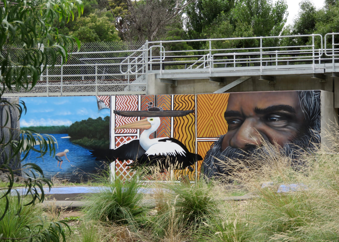
Mural at the Stratford end depicting the story of Borun the pelican and Tuk the musk duck among other things.
The calendar flipped to February, and that could only mean one thing: 15km walks! The plan is to gradually increase my walking distances for the first few months of the year, before adding packweight and overnighters to the schedule as the weather cools down. And since our car had to go to the car doctor in Maffra, it seemed like a good opportunity to stretch my legs. It's taken a couple of weeks to get this up on the blog.
The boardwalk at the wetlands is surrounded by reeds and rushes. It's a peaceful place to walk.
 Further along the river reserve in Maffra. | 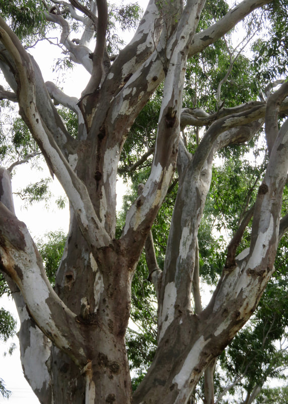 A fabulous tree on the rail trail. |
Dan dropped me off near the Maffra (Macalister) Wetlands just after 8am, and I started with a quick stroll up to the loop in the northern section of the reserve, then back around the boardwalk. There were loads of birds out and about early in the morning, including some extremely cute juvenile fantails that would have been darting in and out of the reeds and rushes if they could fly well enough to dart. A person went past on a fat wheeled bike and responded to my standard greeting and how are you with a big smile and, “Don’t make no difference if I complain, it really doesn’t.” OK, then.
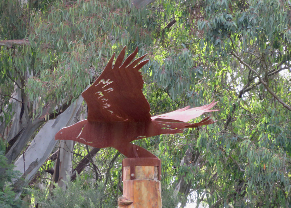 The mighty eagle (maybe). | 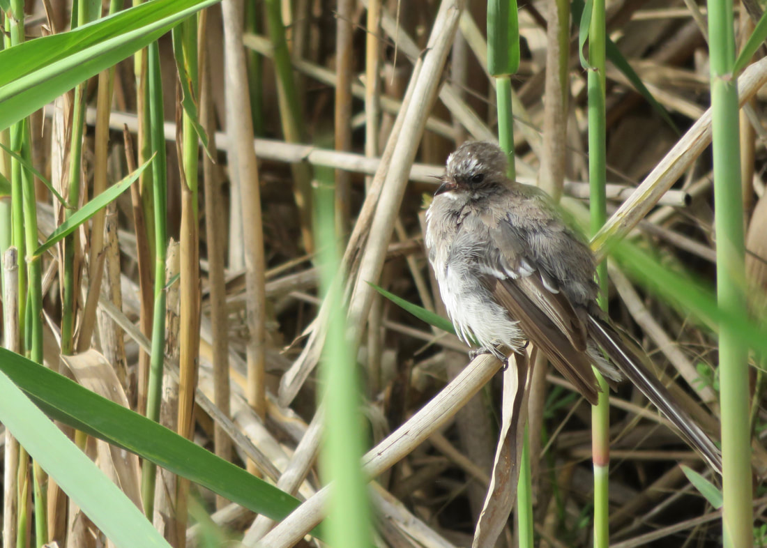 The mighty fledgling. |
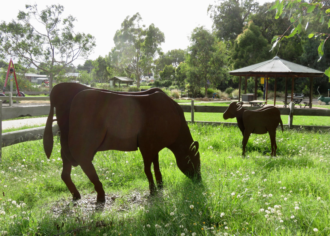 Cow sculptures in the riverside park, Maffra. | 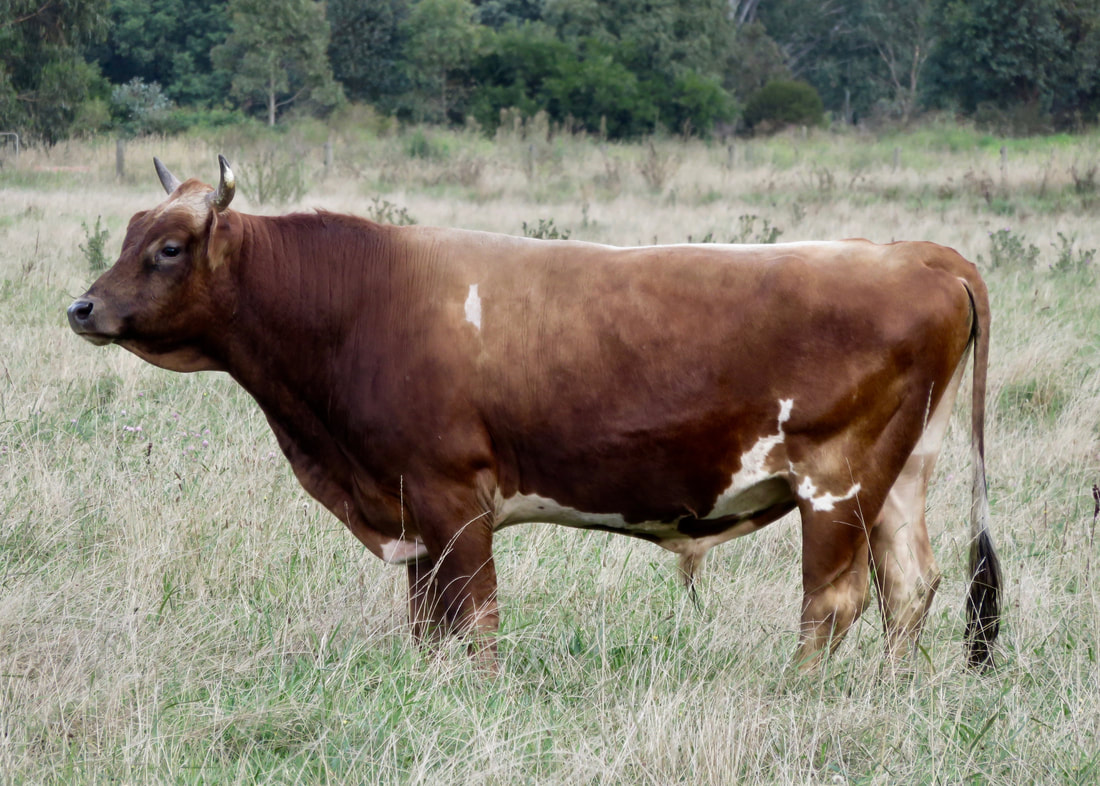 The noble bull, as spied from the wetlands walk. |
I headed back down the river and met Dan in Island Reserve, the park out the back of the main street. (Why is it called Island Reserve? Old aerial photos seem to show it might have had an oxbow lake there, possibly…). Dan had bought some tasty buns and a coffee for me, so we sat and had our breakfast in the slowly emerging sun. The weather was almost perfect for a walk - a bit overcast, a bit cool, a slight breeze. Quite different from most of January’s outings, and (other than the humidity) a relief after the heat of the last week.
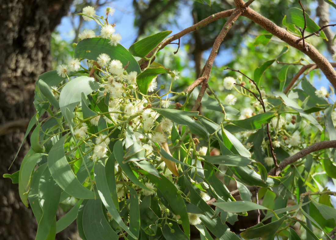
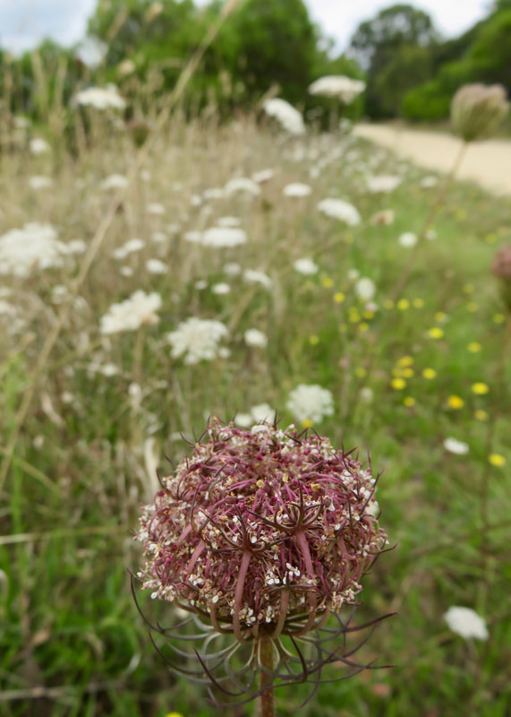
Pale yellow wattle flowers. It's nice to come back to walks and see what's changing with the seasons.
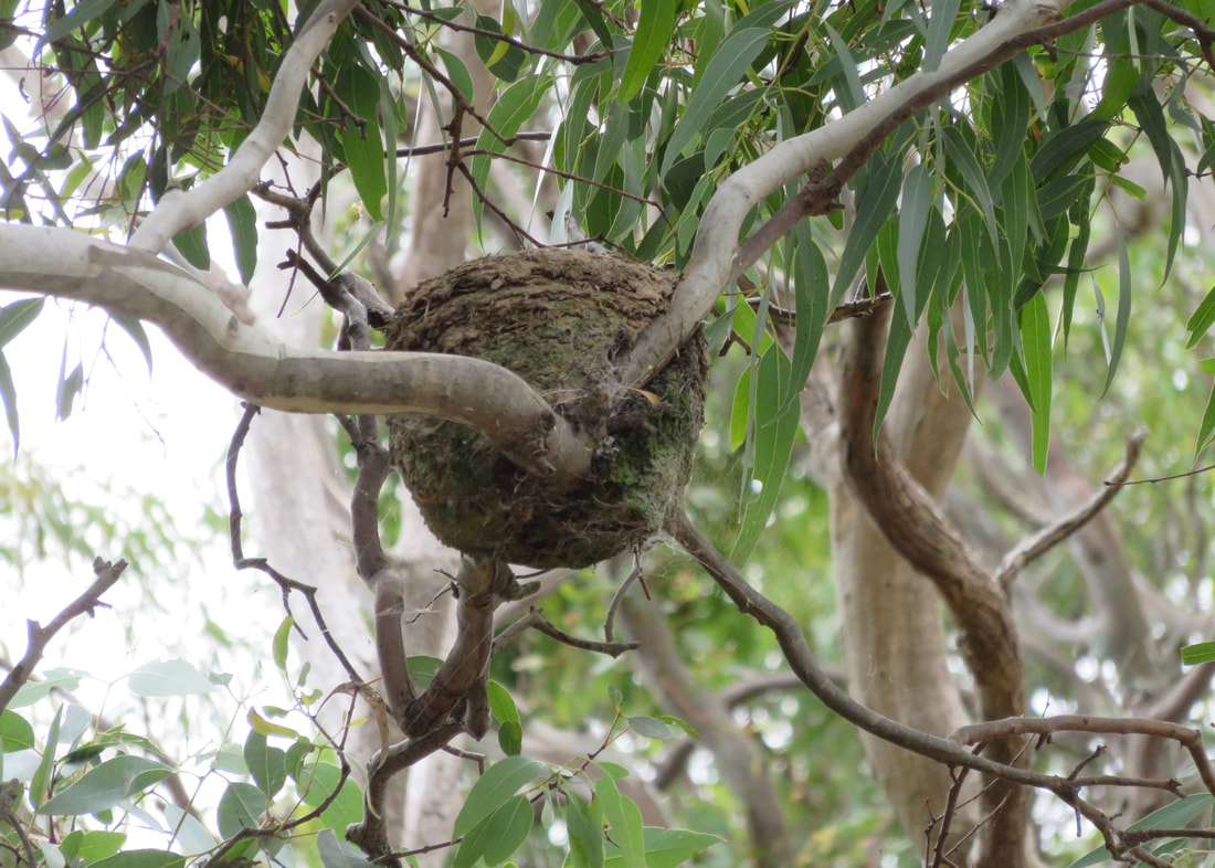 A mud nest in a eucalypt - almost at eye level! | 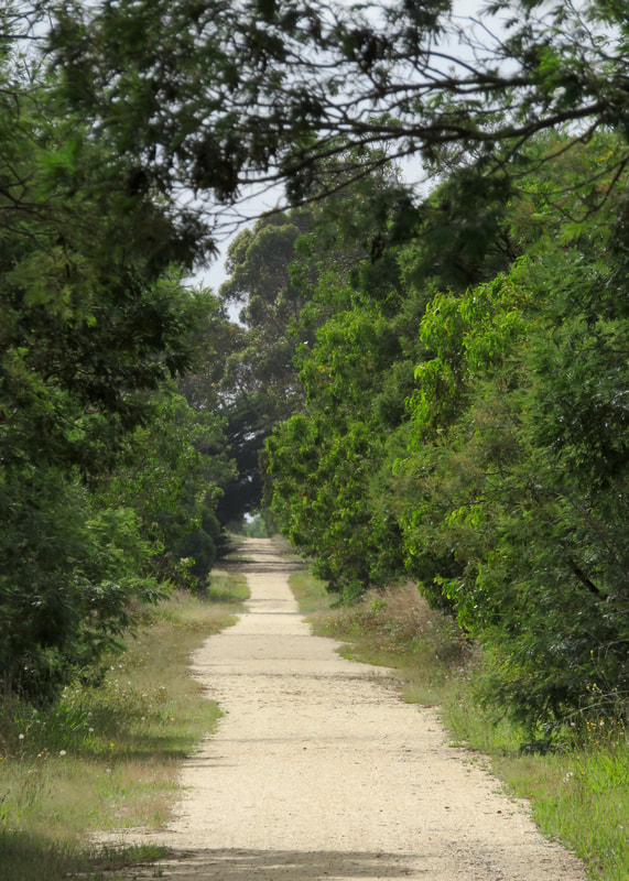 The long, straight track... |
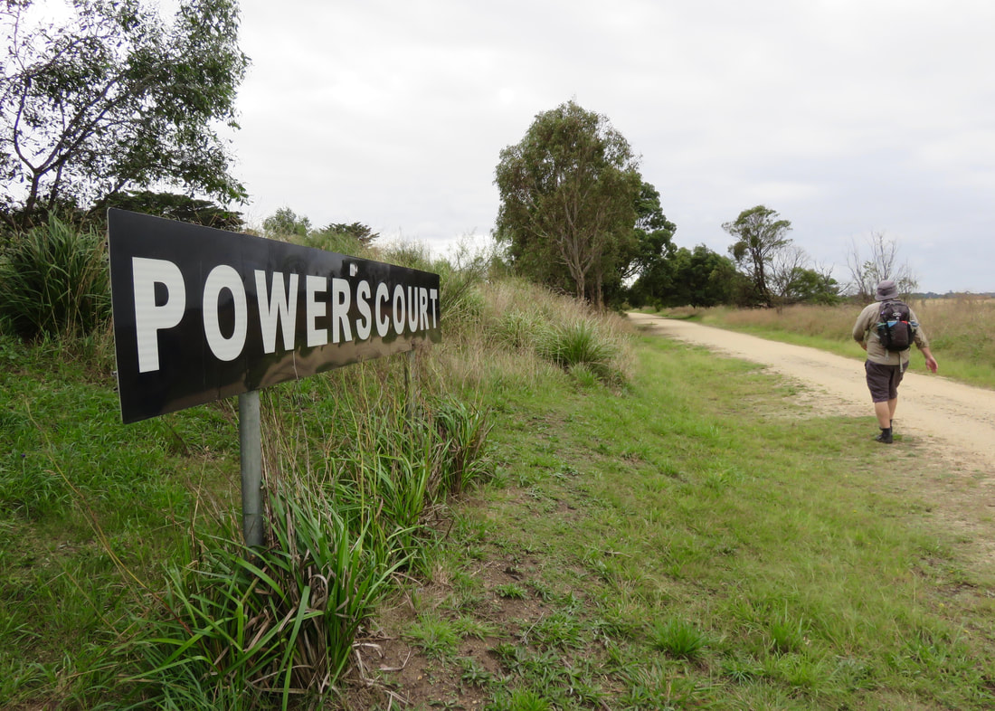
It wasn’t the first time we’d walked this section of trail. Since we’ve been back we’ve walked once from Stratford to Maffra and once from half way along back into Stratford. Probably because of this, we didn’t stop that often to read the information boards and signs. However, we did make note as we passed various landmarks - the spot where the old Briagolong line (1889-1952) used to branch off, the entrance to Powerscourt (homestead built circa 1859), Powerscourt Siding (built 1914 to help bring sugar beet to the factory in Maffra and the weighbridge later used to weigh flax for the flax factory), Beet Road (also related to the sugar beet industry).
Most of the walk was on a track like this - fairly open, a few trees and a bit of history.
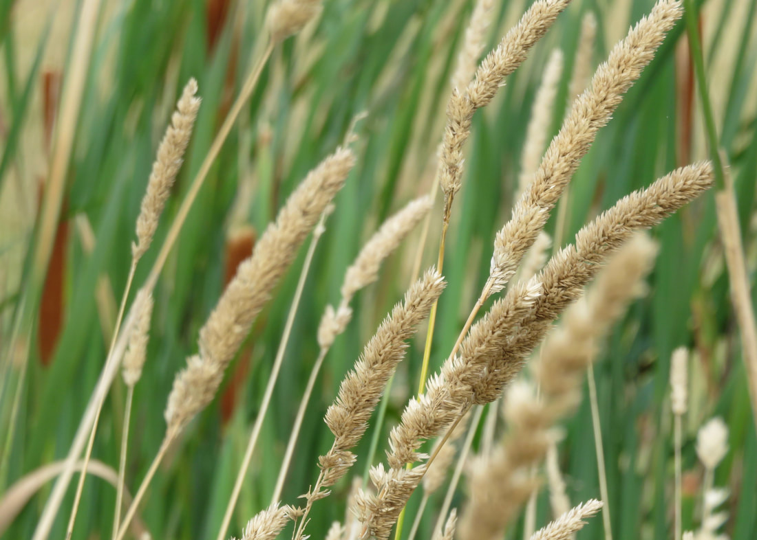
 Pretty weeds. | 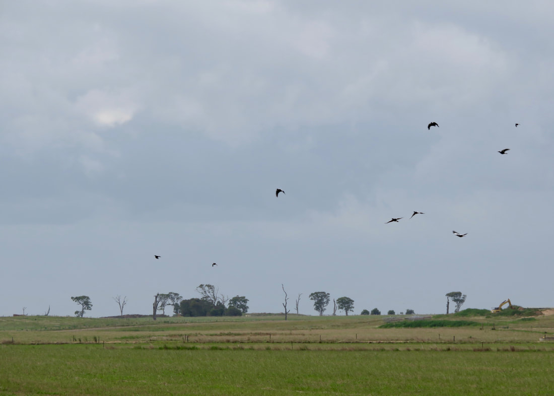 A big flock of magpies flew past, settled on the trees, then left. |
Another reason we didn’t stop that much was because of the bloody flies! We haven’t had much trouble with flies since we’ve been back - unlike on some other trips - but they were out in force on this walk. We tried to talk them into transferring to some local cows, and even a passing jogger. We wished for a stiff breeze to blow them away over the paddocks. I put on sunnies and tucked a hanky in my hat to try to keep them off my skin. And we spent many kilometres hitting ourselves in the face with leafy twigs. In the end, what sent them packing was a short, sharp shower of rain.
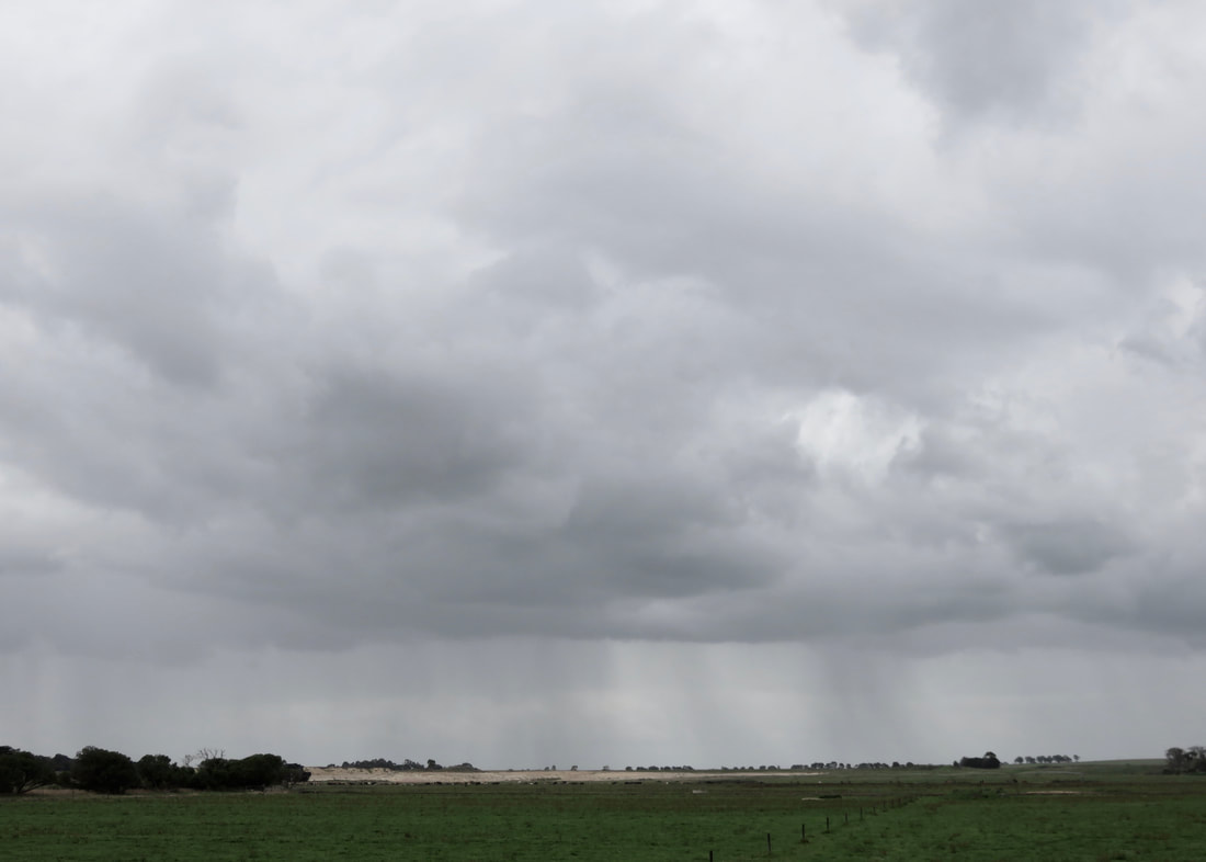 Rain in the distance... | 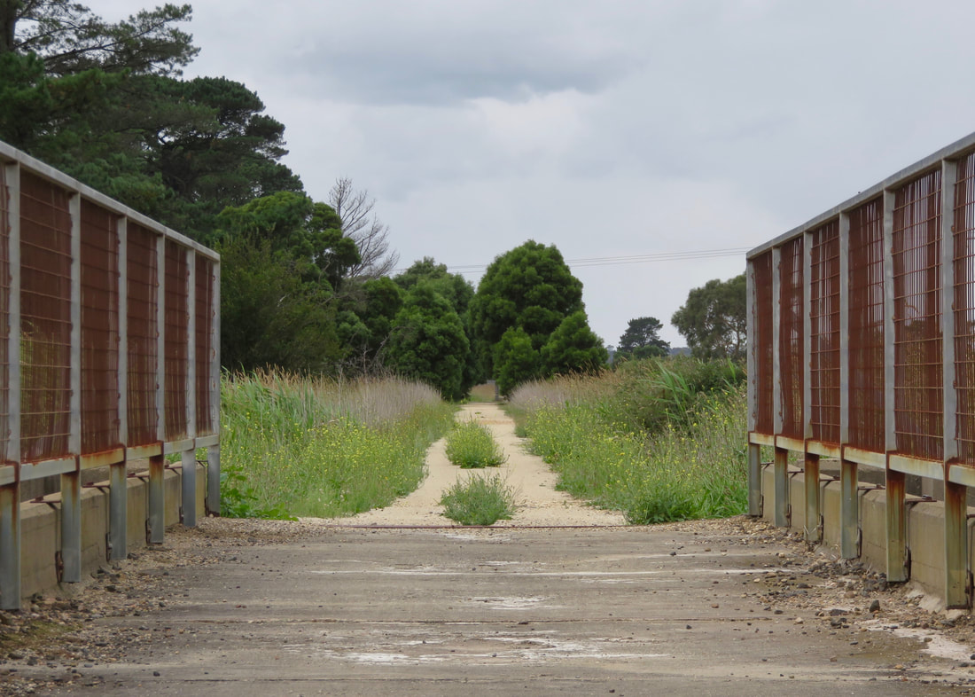 Bridge over an irrigation channel. |
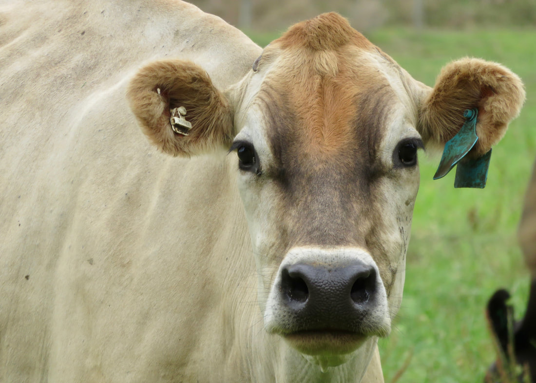 A lovely cow. | 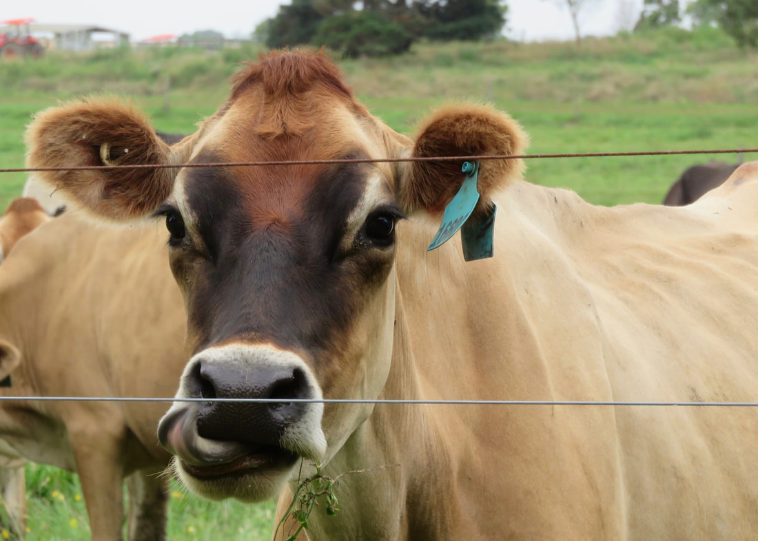 Another lovely cow, licking it's nose. |
Arriving back in Stratford, we noted the progress on the rail trail path that curves under the bridge (getting ready for the concrete to be laid). Stratford is the eastern terminus of the trail - it runs all the way from Traralgon, so one day I hope to walk and/or ride the whole thing! We had a little rest stop at Apex Park, then followed the path under the new and old rail bridges and up onto the street. It would be great if they could use the old bridge for the rail trail - it’s had trains on it up to a year or so ago, so surely it could be made into a bike/walking bridge? A short street walk and a hop across the tracks took us to the station.To be sure I walked the full 15km, we took the long way home.
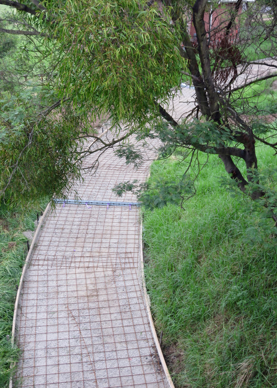 Soon-to-be-new path! | 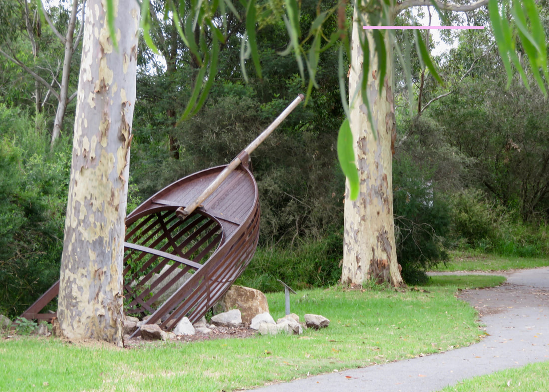 Sculpture in Apex Park, Stratford. |
In the afternoon, my dad gave Dan a lift back to Maffra to pick up our freshly repaired, fully serviced and thoroughly cleaned (!) car.
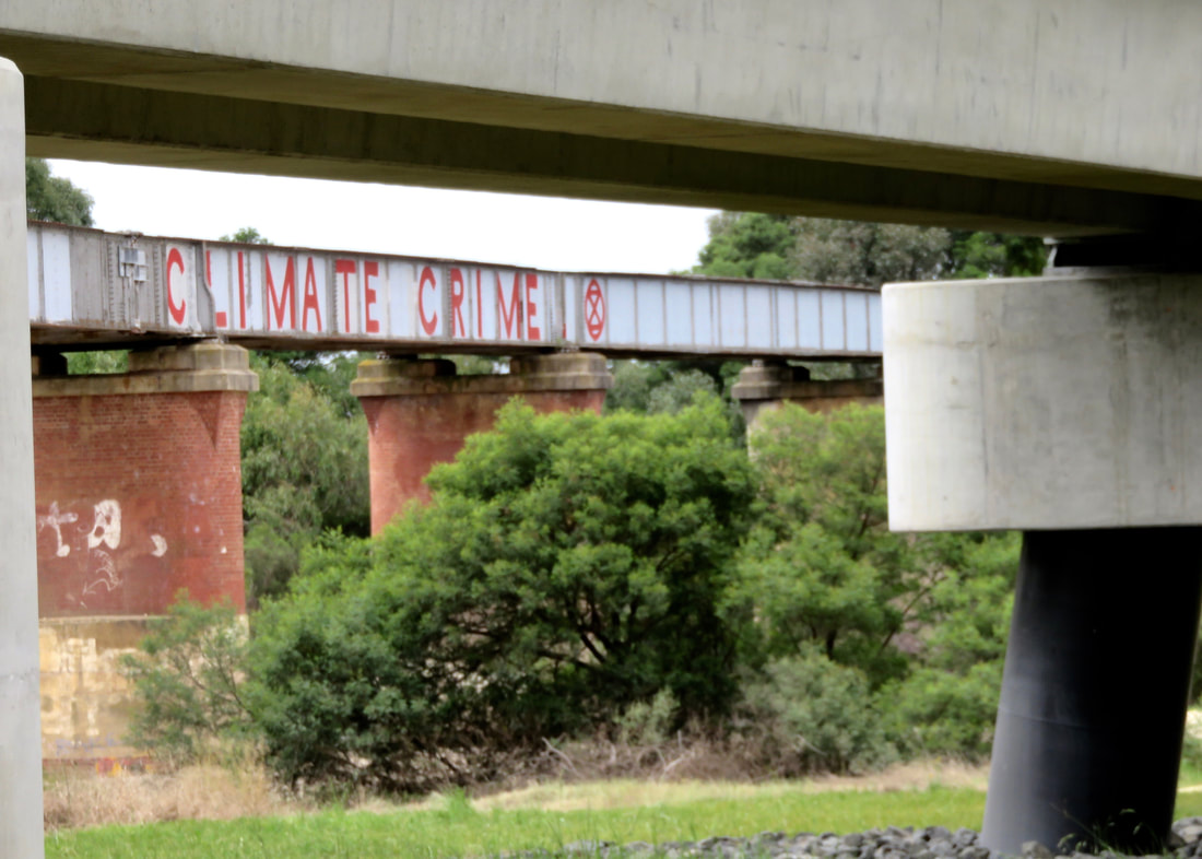 Looking under the new rail bridge to the old one. | 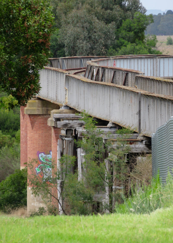 Old bridge. Would love it to be the rail trail! |
Notes
I walked just under 16km in a little under 4 hours - we arrived home at about 12pm, right in time for lunch (Mum made garlic bread - yum!). That’s pretty much spot on for speed, no doubt helped along by the cool weather, familiar route and irritating flies.
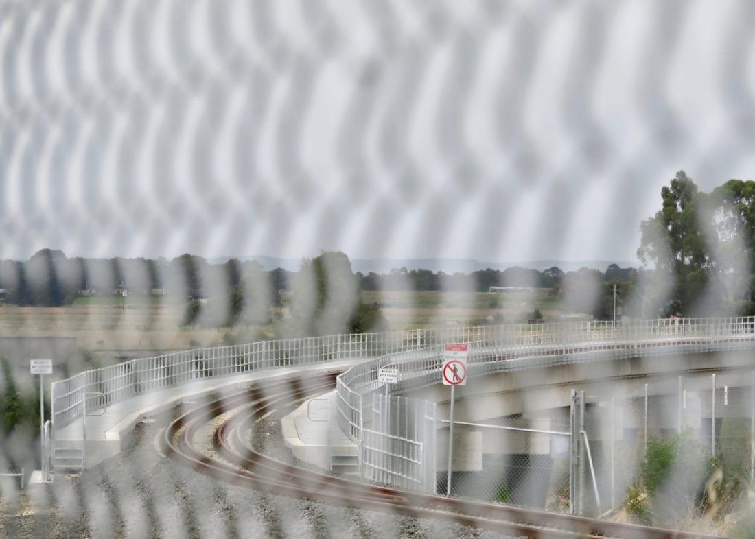
The new rail bridge, seen through the fence. No walking here!
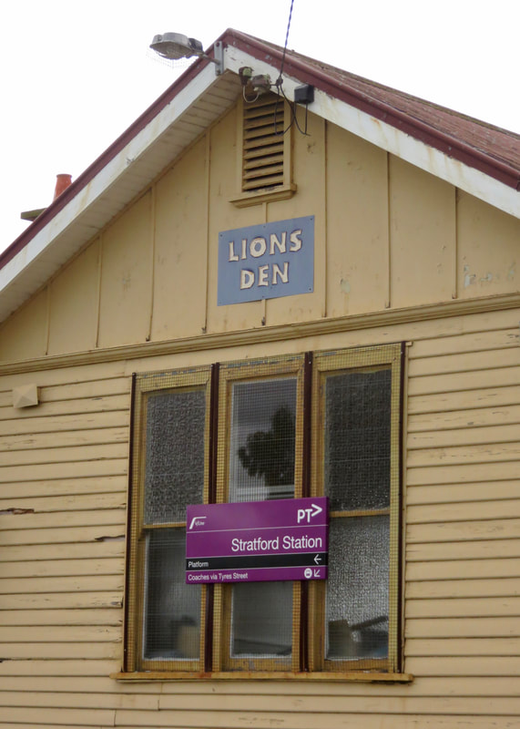 Lions Club keep their stuff here, I heard?! | 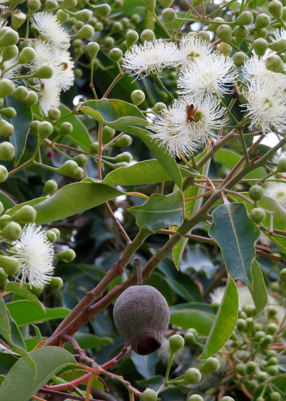 Look at that gumnut. |
The day before, we’d headed back to Mount Hedrick with my folks for a short (4km) but much steeper walk. I’d carried my backpack with a couple of thermoses, food and raincoat and I really noticed how much impact that had - from balance on the boulders to the strain of extra weight on steep climbs. In comparison, this was an easy walk.
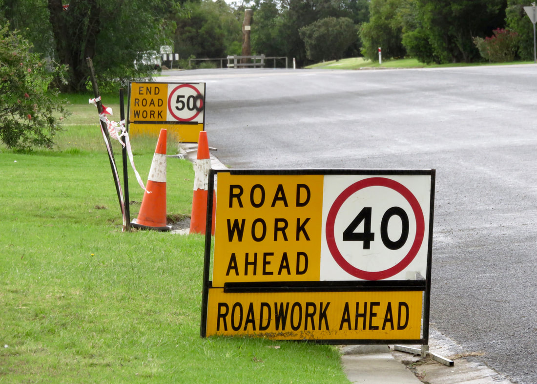
I was amused by this very short roadwork section in the back streets of Stratford.
I taped my toe for this walk (and the previous day's walk), but I'm not sure it helped. My blister remained though it didn't seem any worse. I still had a sore toe the next day. But the main issue was, once again, the lack of variety. I stretched my legs a couple of times along the walk, but my knees noticed the repetitive work and my calves were very tight afterwards. My feet and lower legs were achy for a couple of days. Overall, though, the switch up to a slightly longer walk went well. I’m feeling a bit fitter than a month ago, which is a good sign!
This walk is on the Country of the Brayakaulung (Gunaikurnai) people. Sovereignty was never ceded and this always was, and always will be, Aboriginal land.
 RSS Feed
