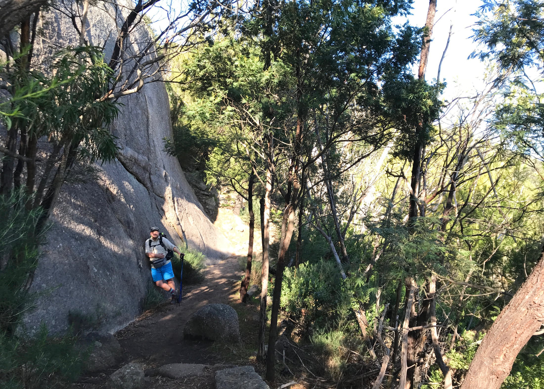
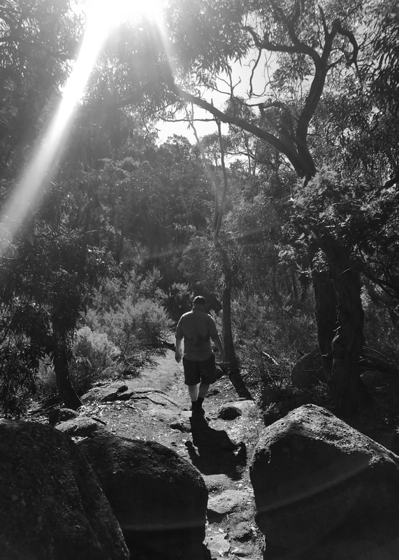
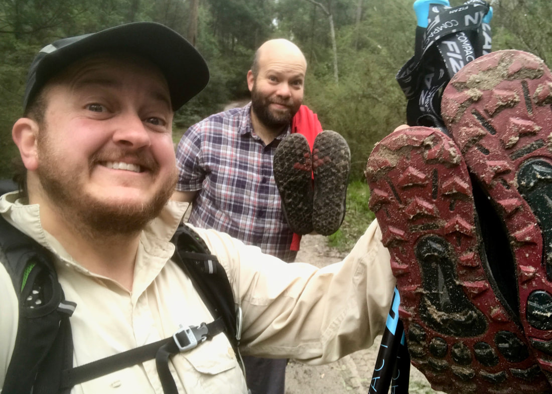
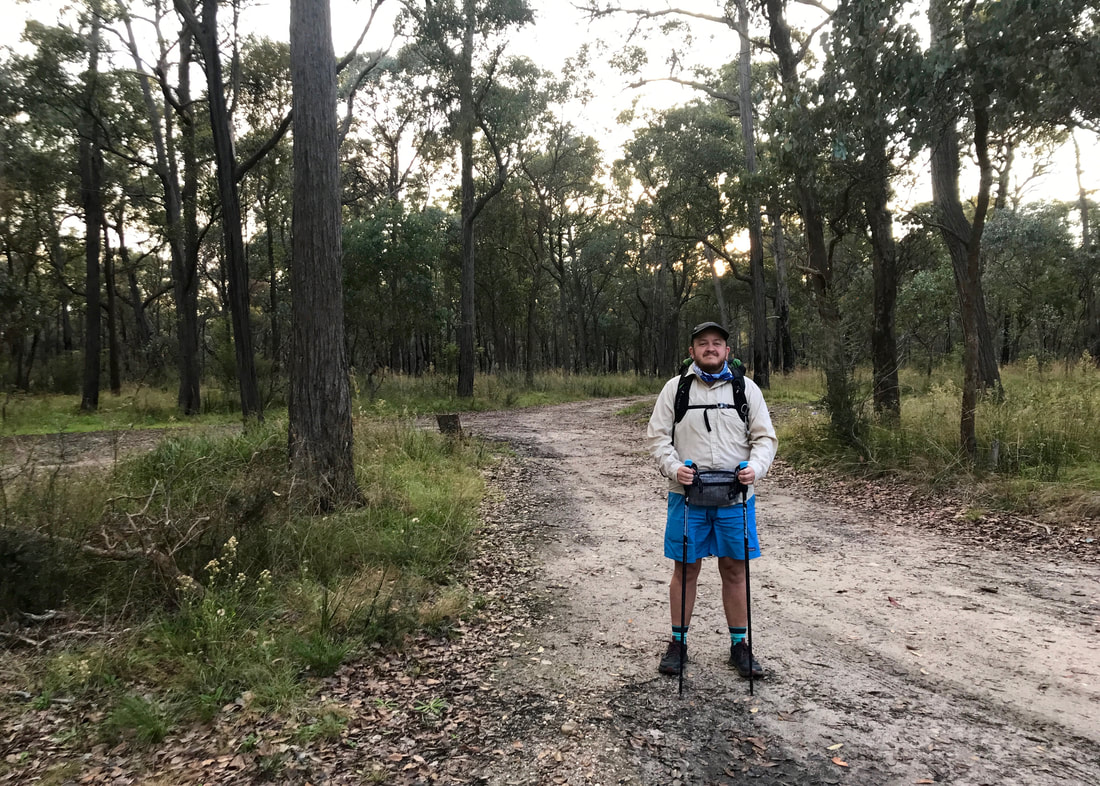
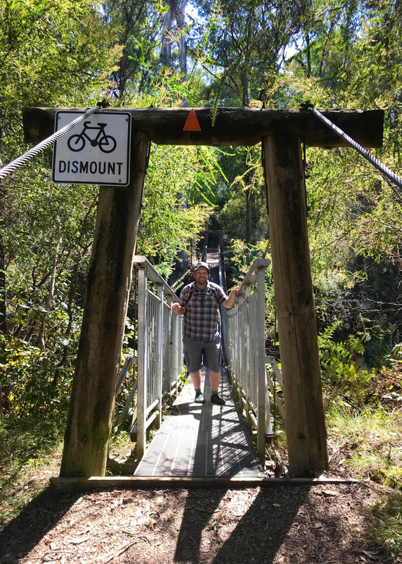
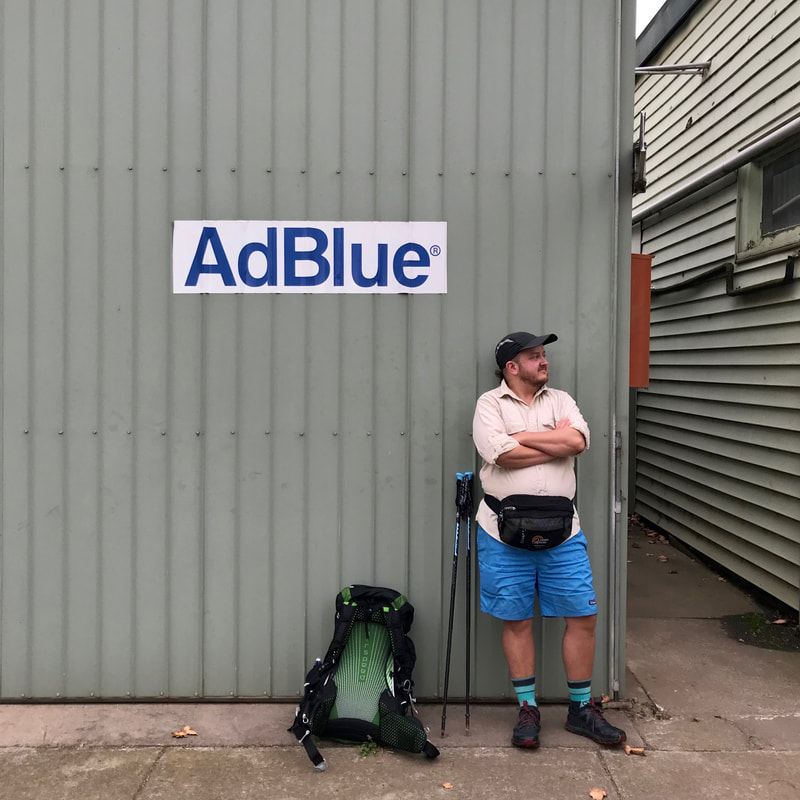
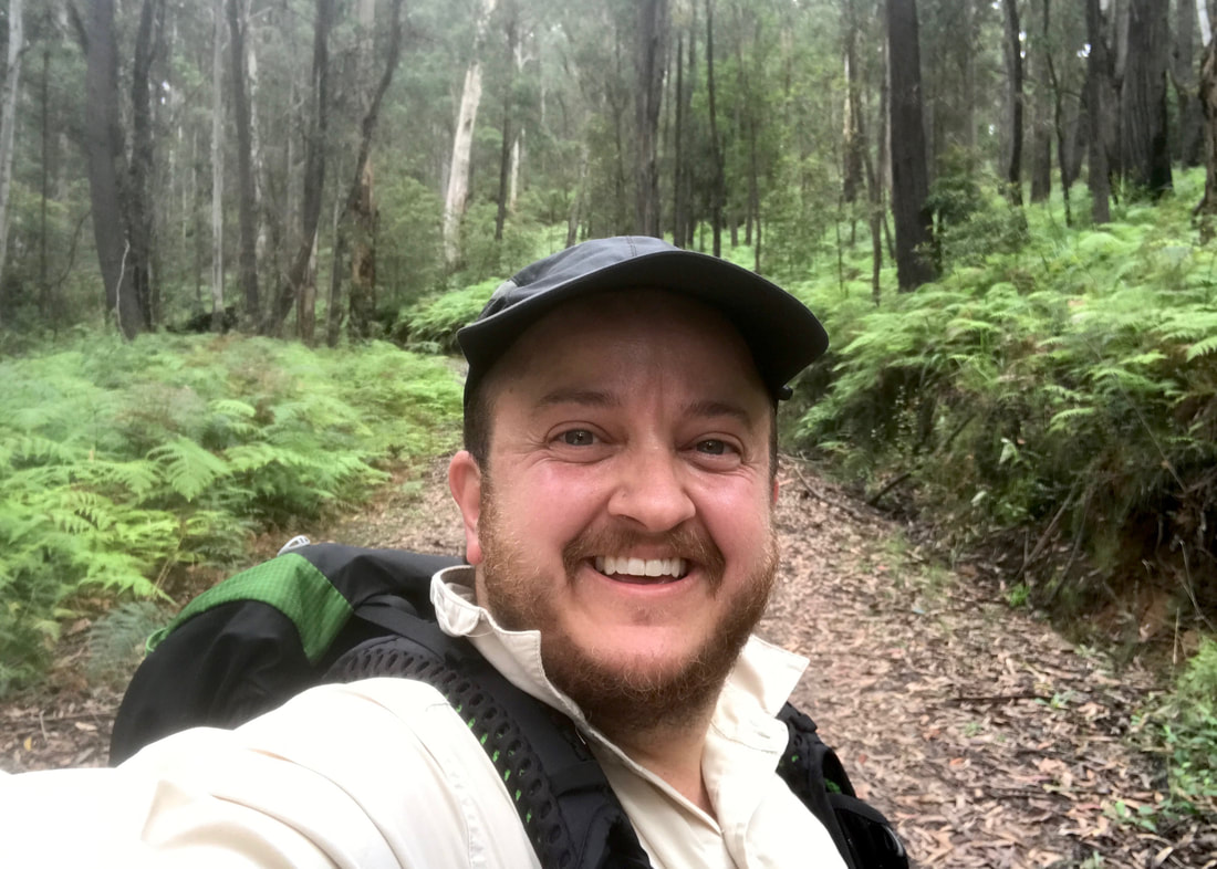
I wanted to do more back-to-back longer walks, so in mid-June we went on two walks in one weekend.
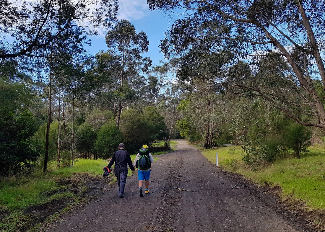
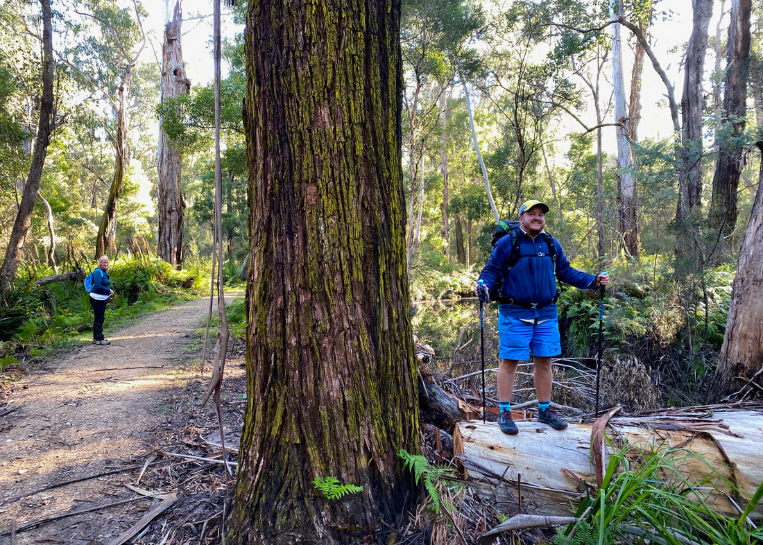
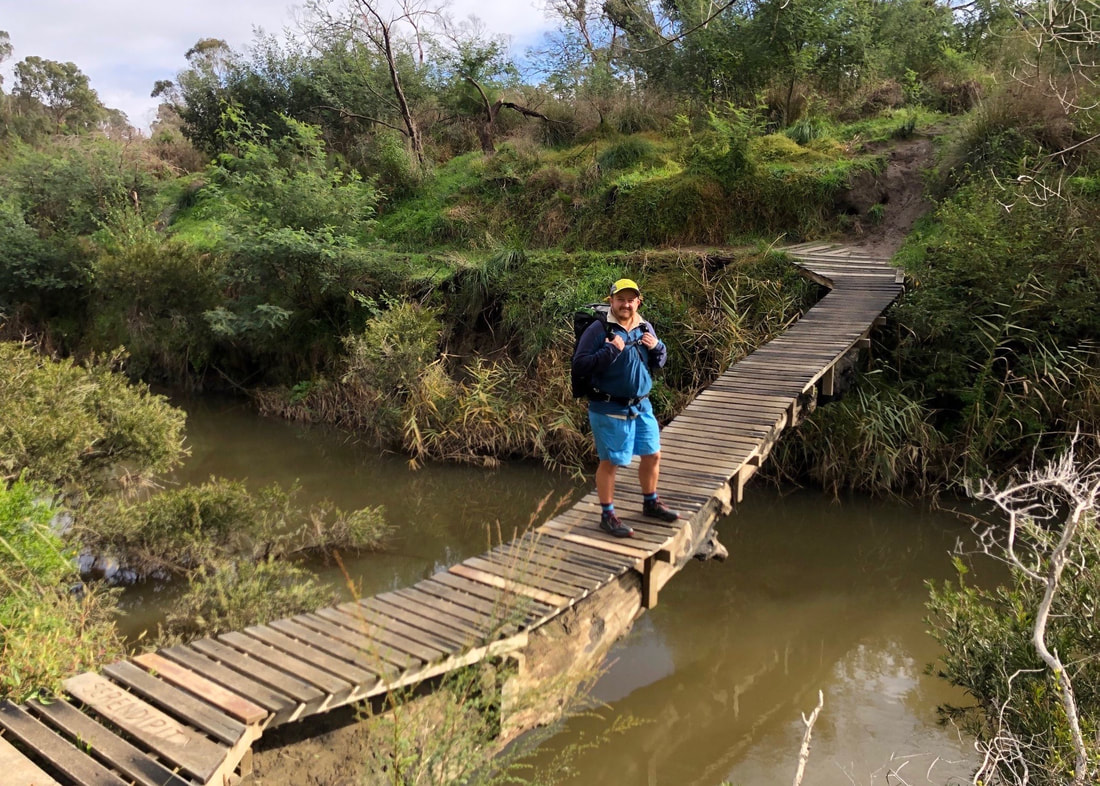
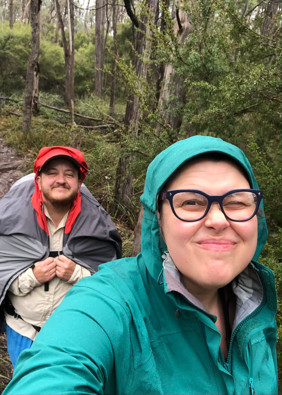
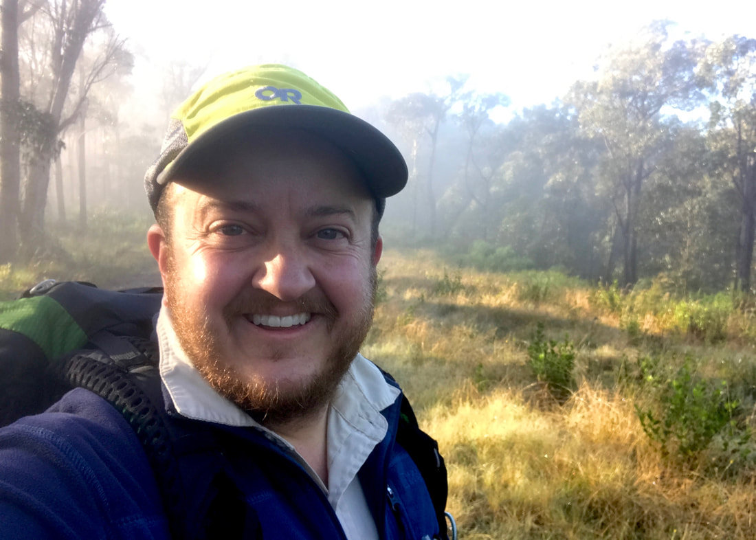
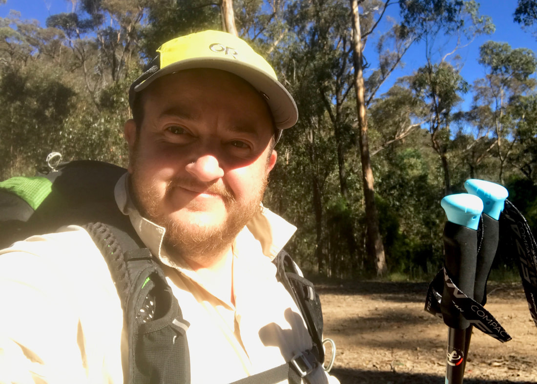
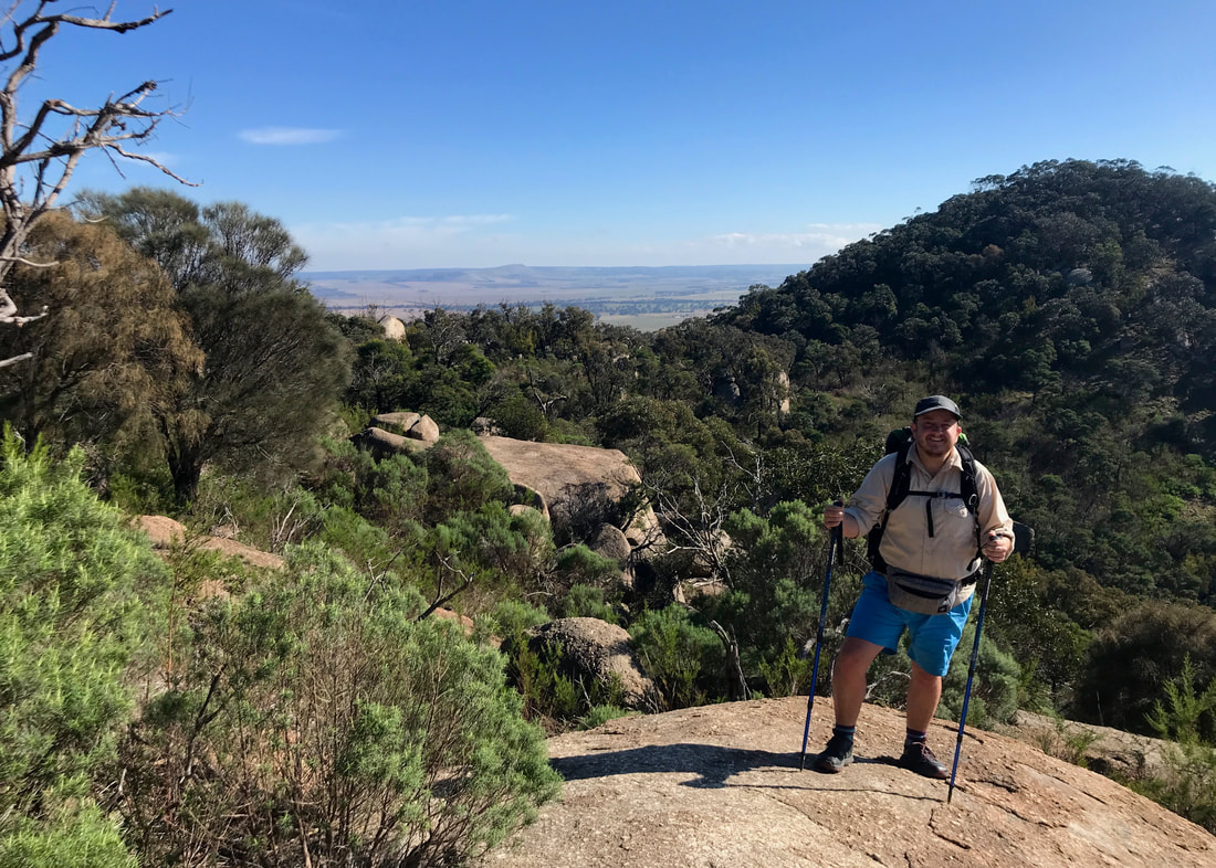
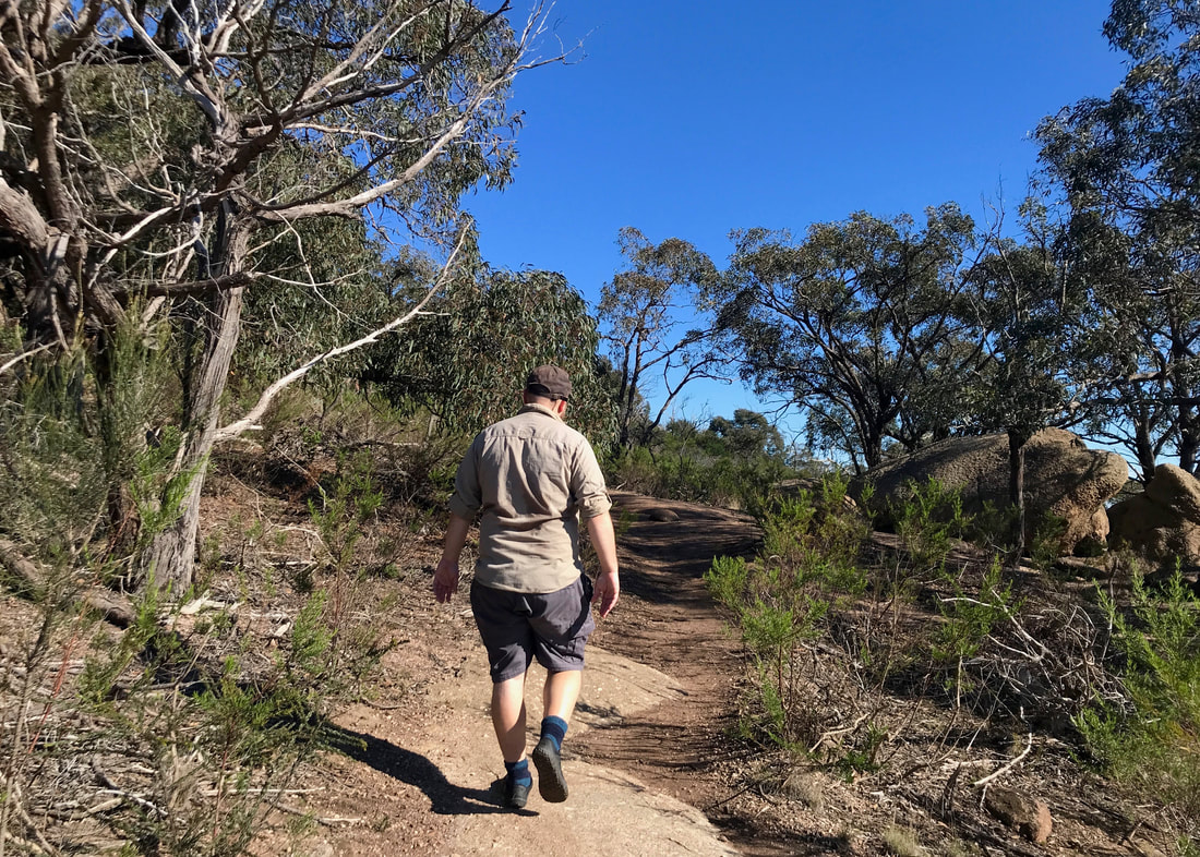
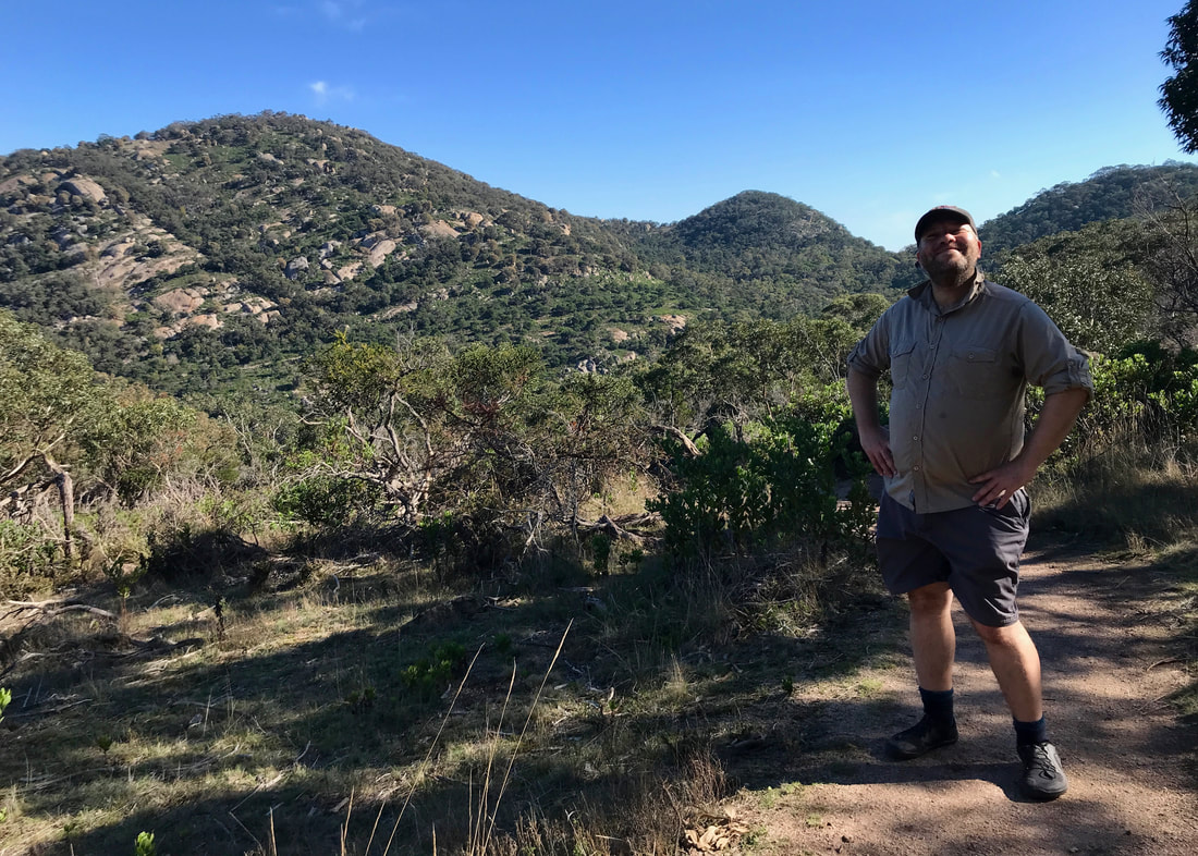
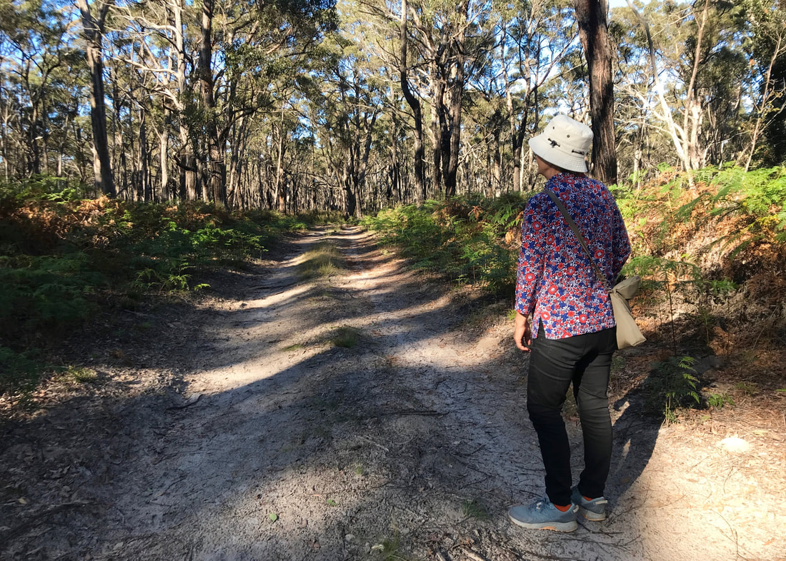
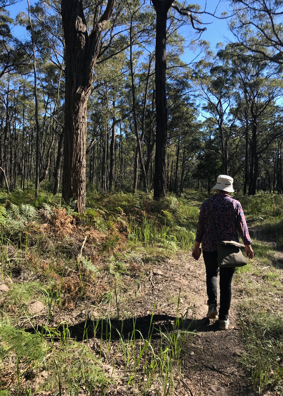
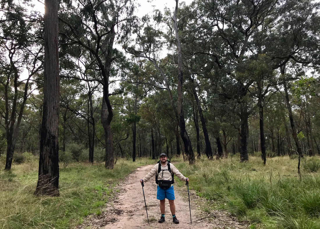
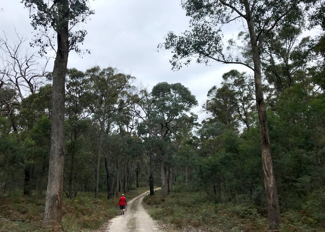
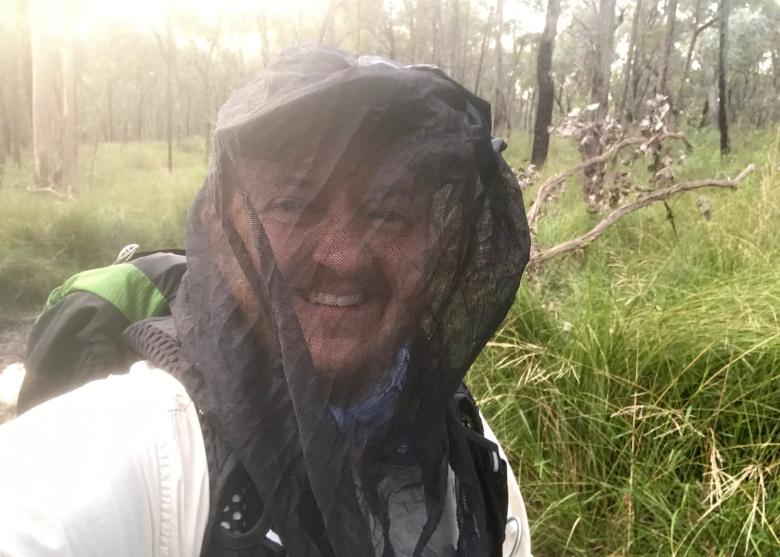
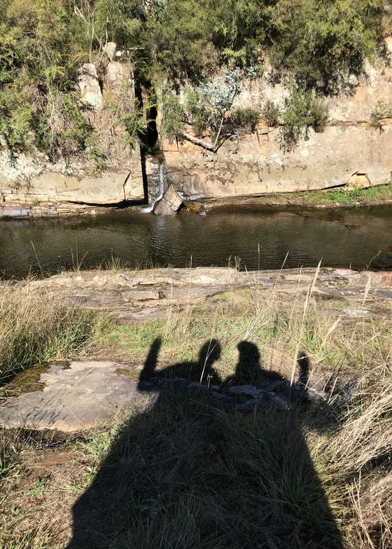
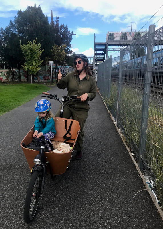
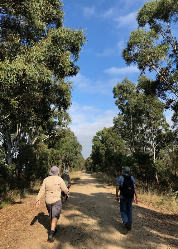
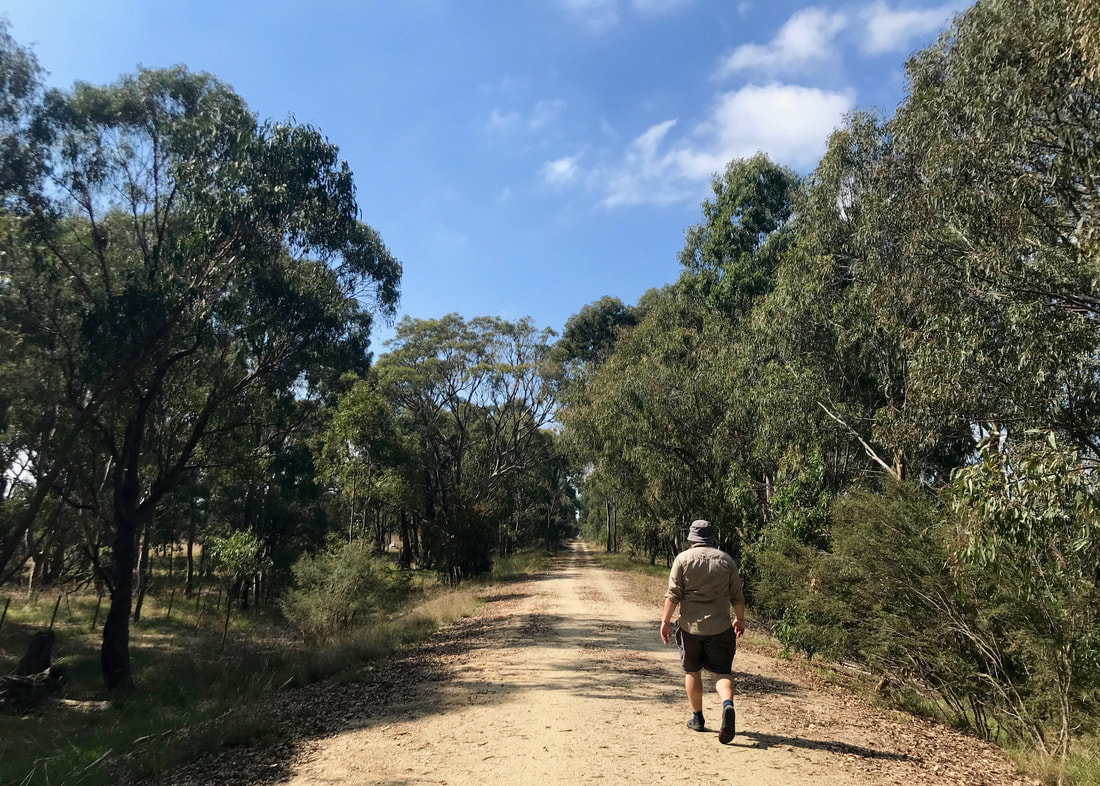
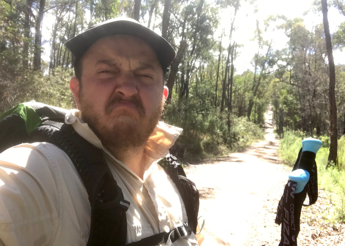
A rare action shot of me and Dan on a detour off the rail trail. Thanks to G for the photo!
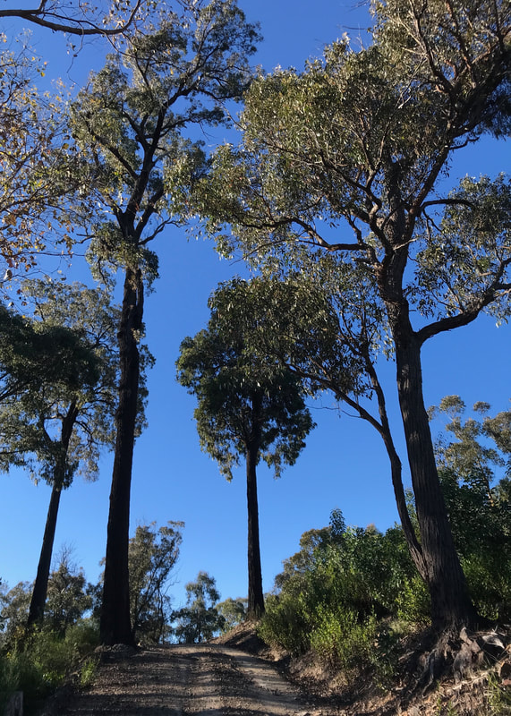
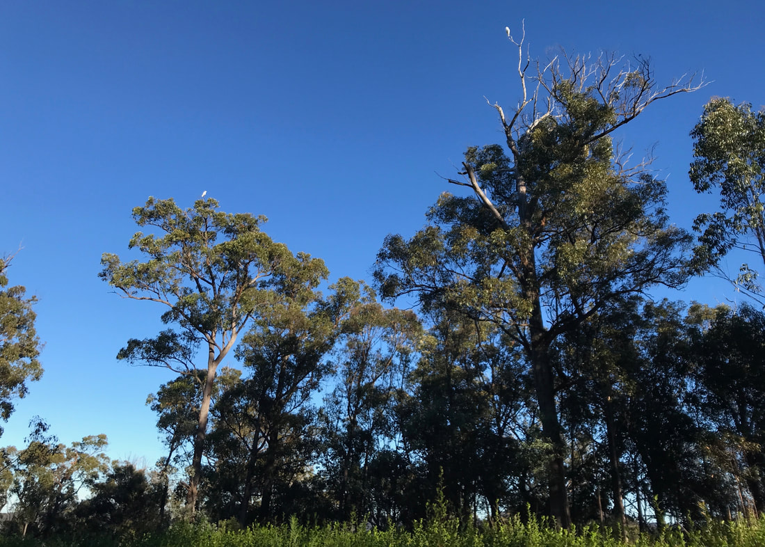
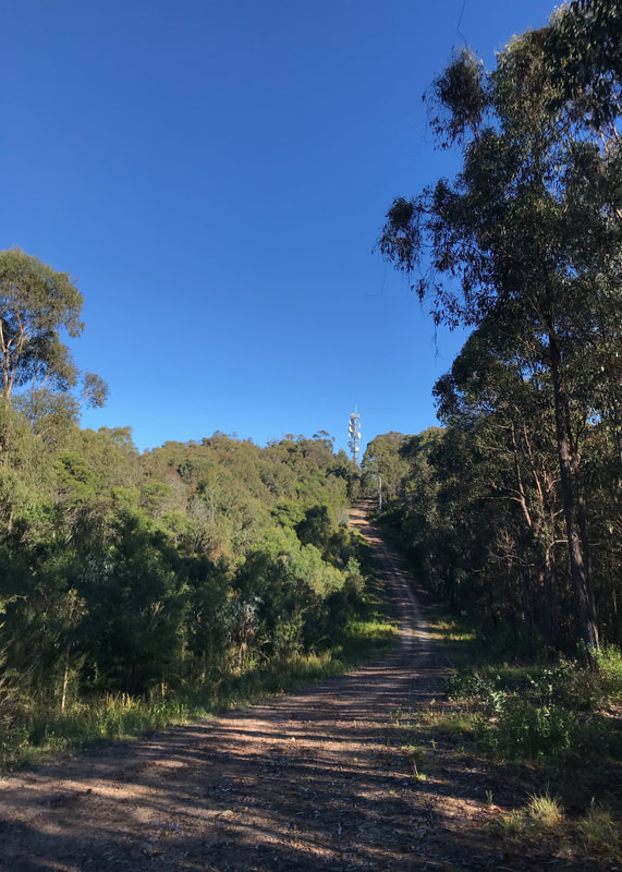
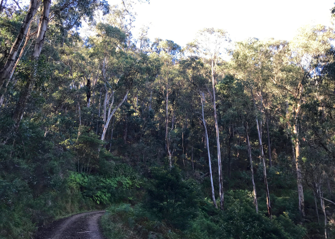
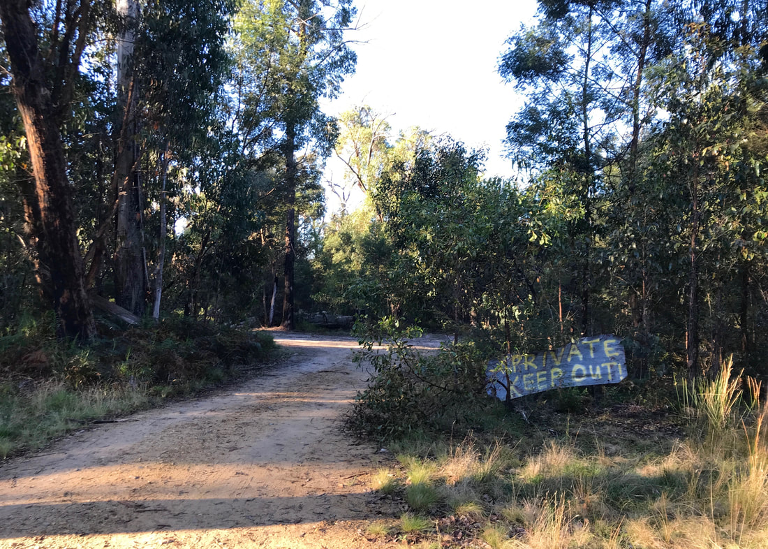
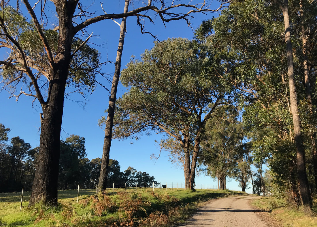
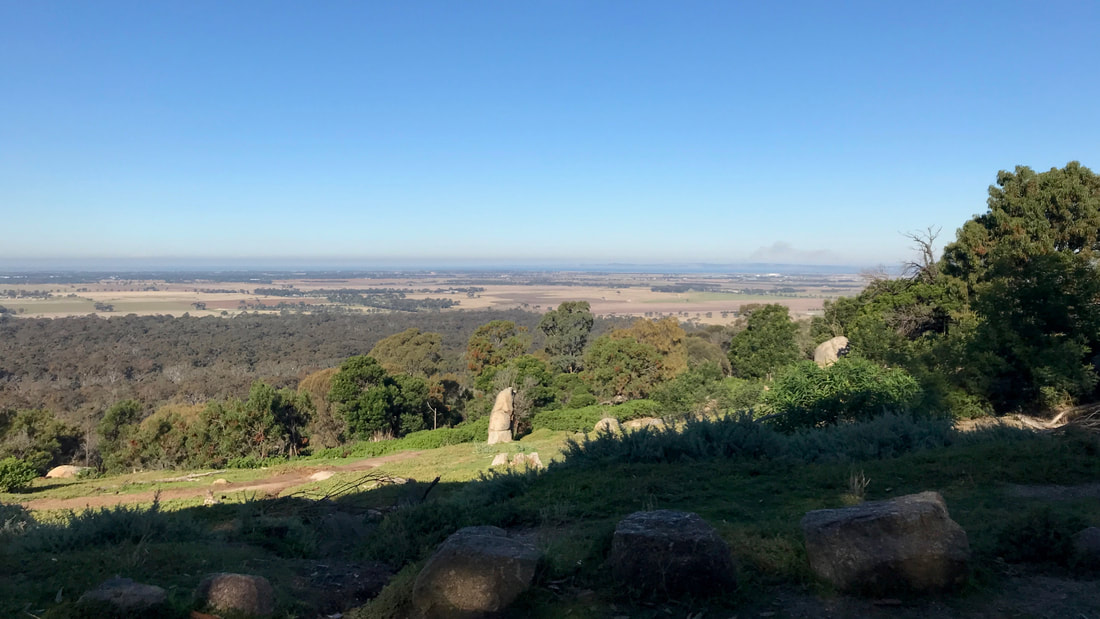
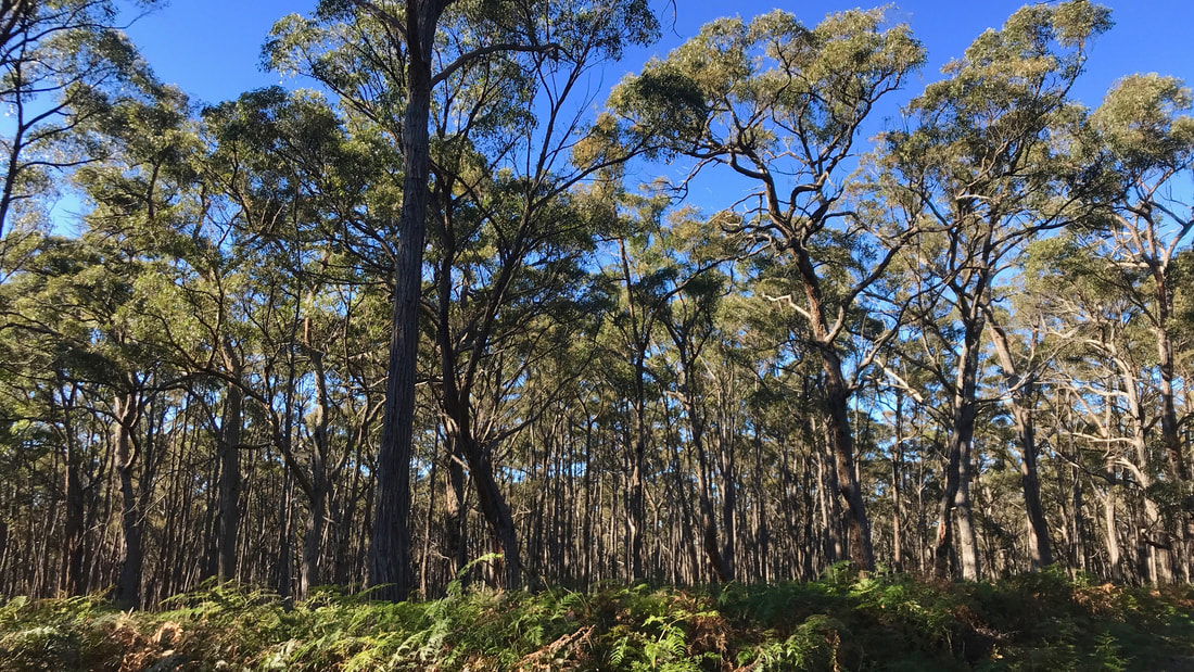
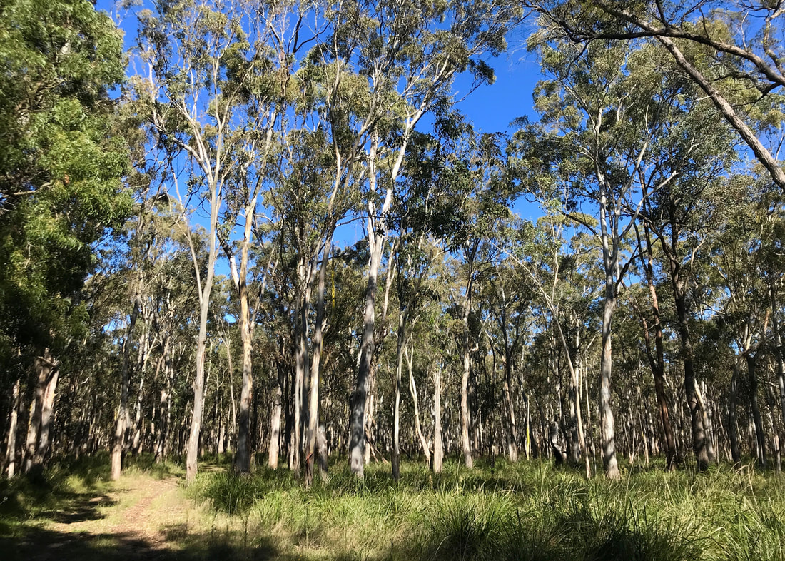
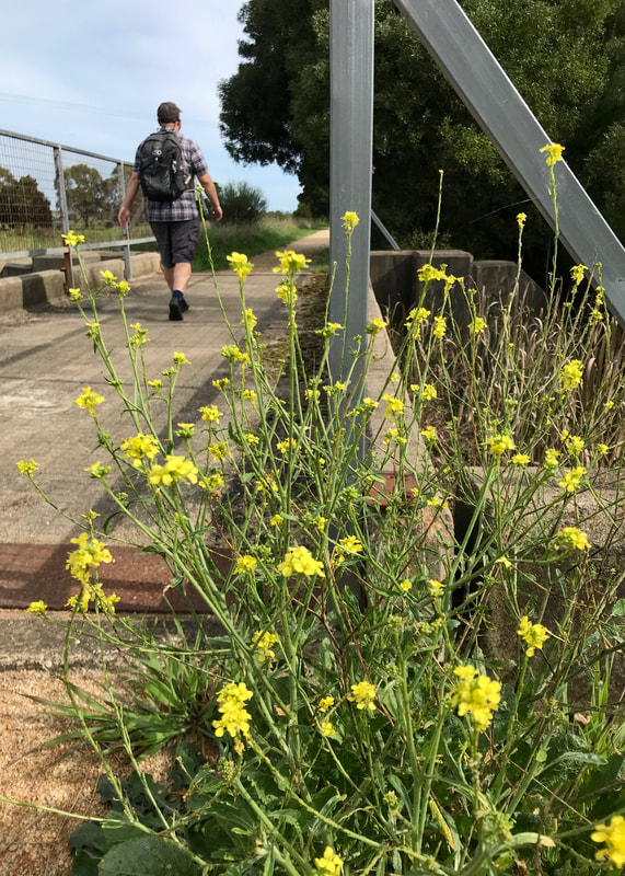
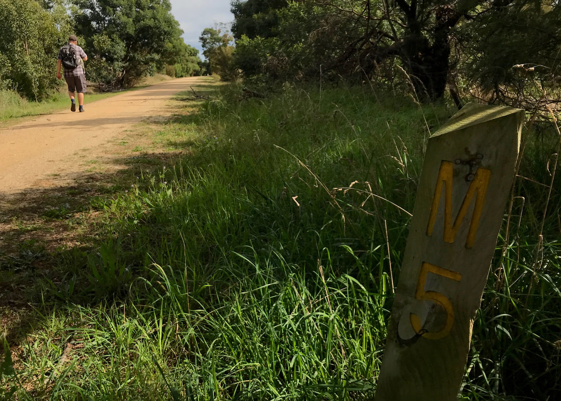
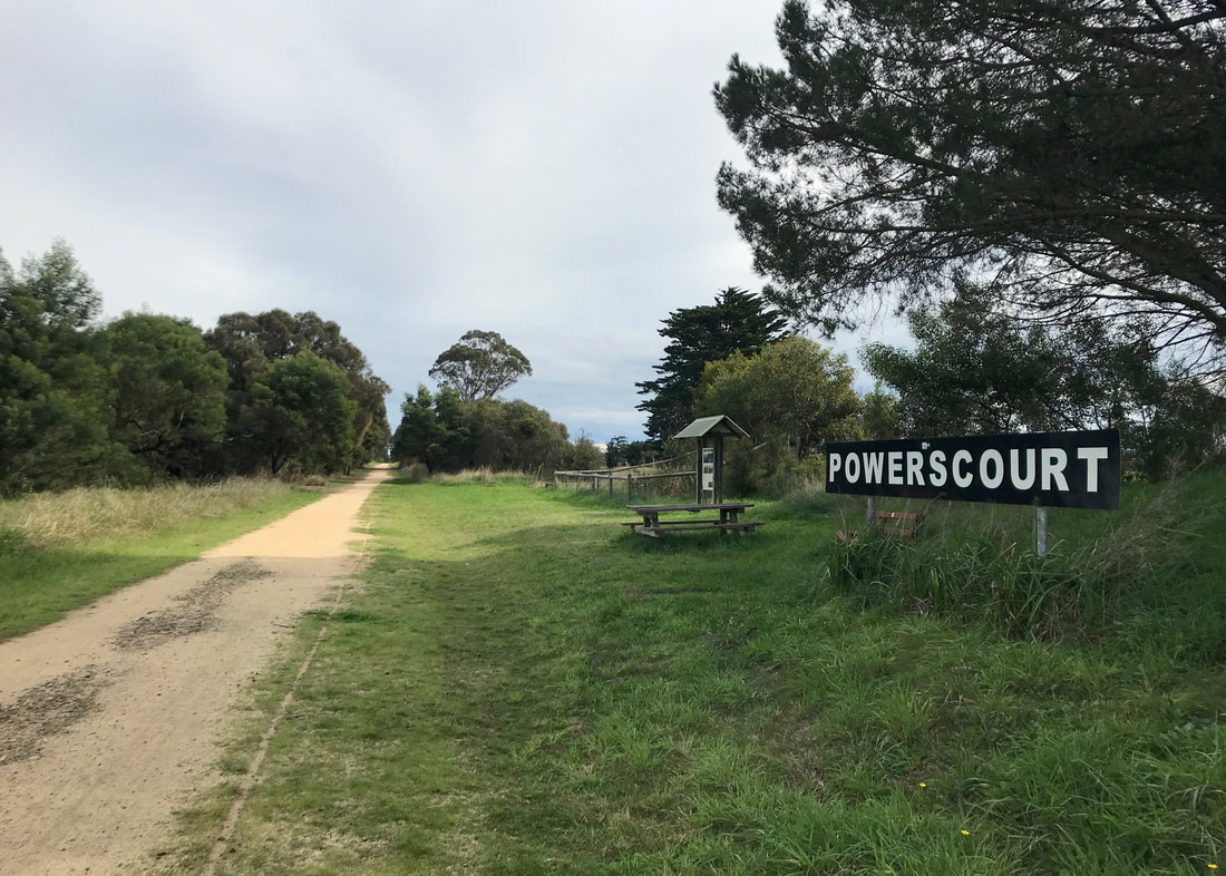
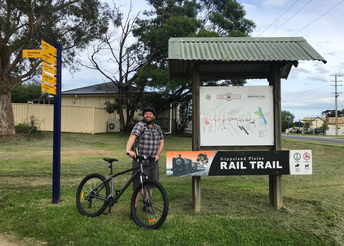
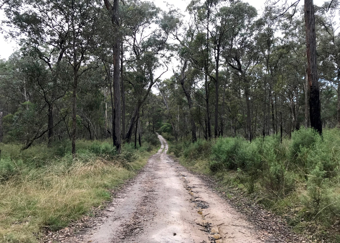
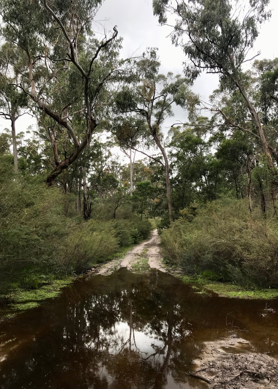
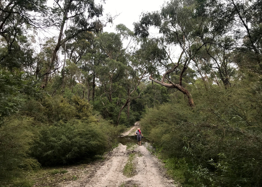
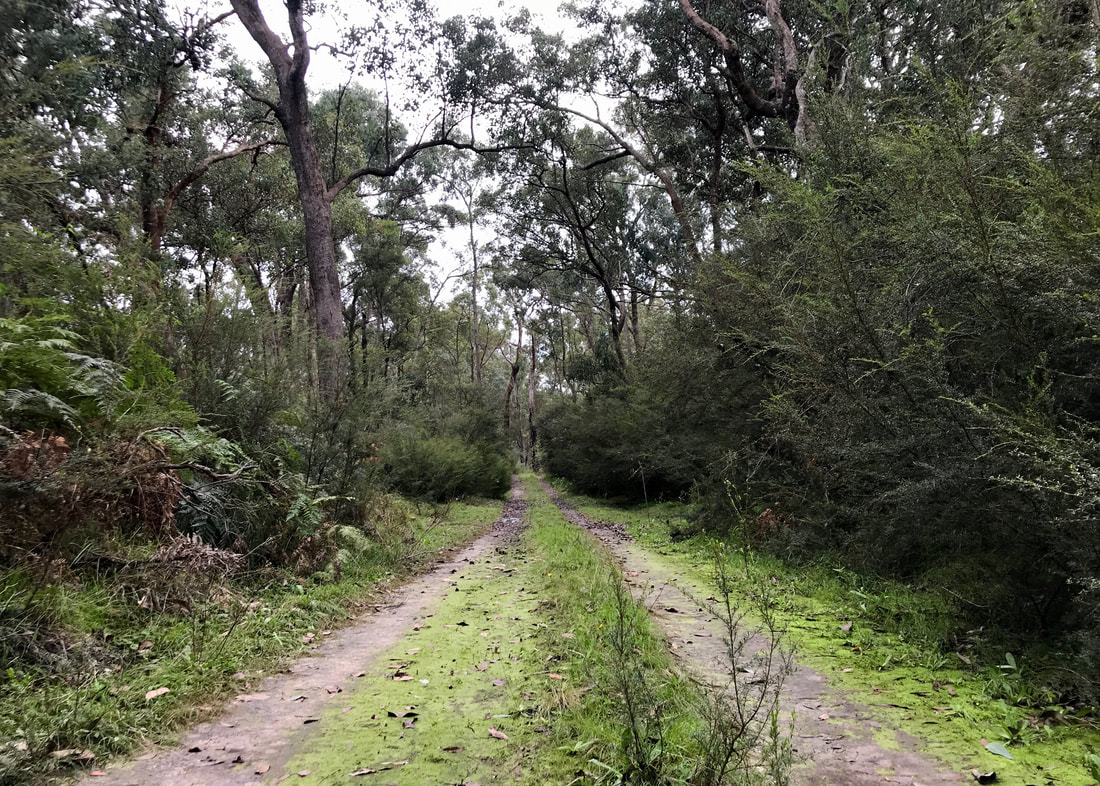
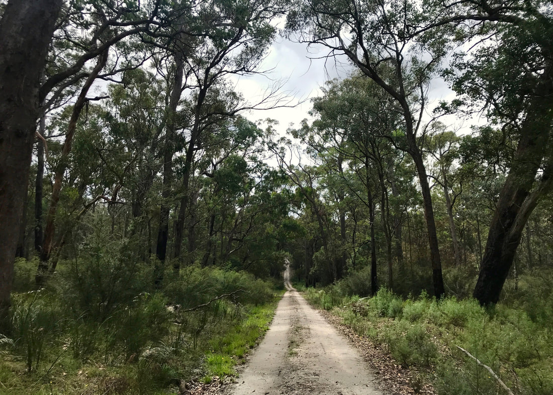
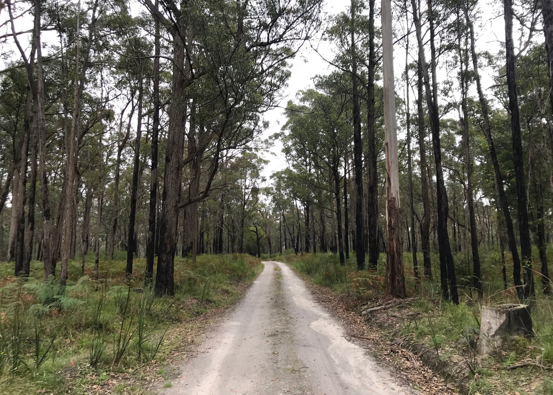
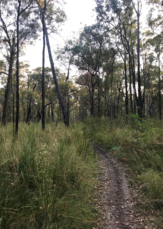
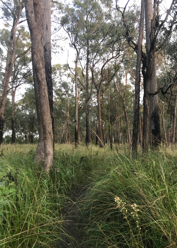
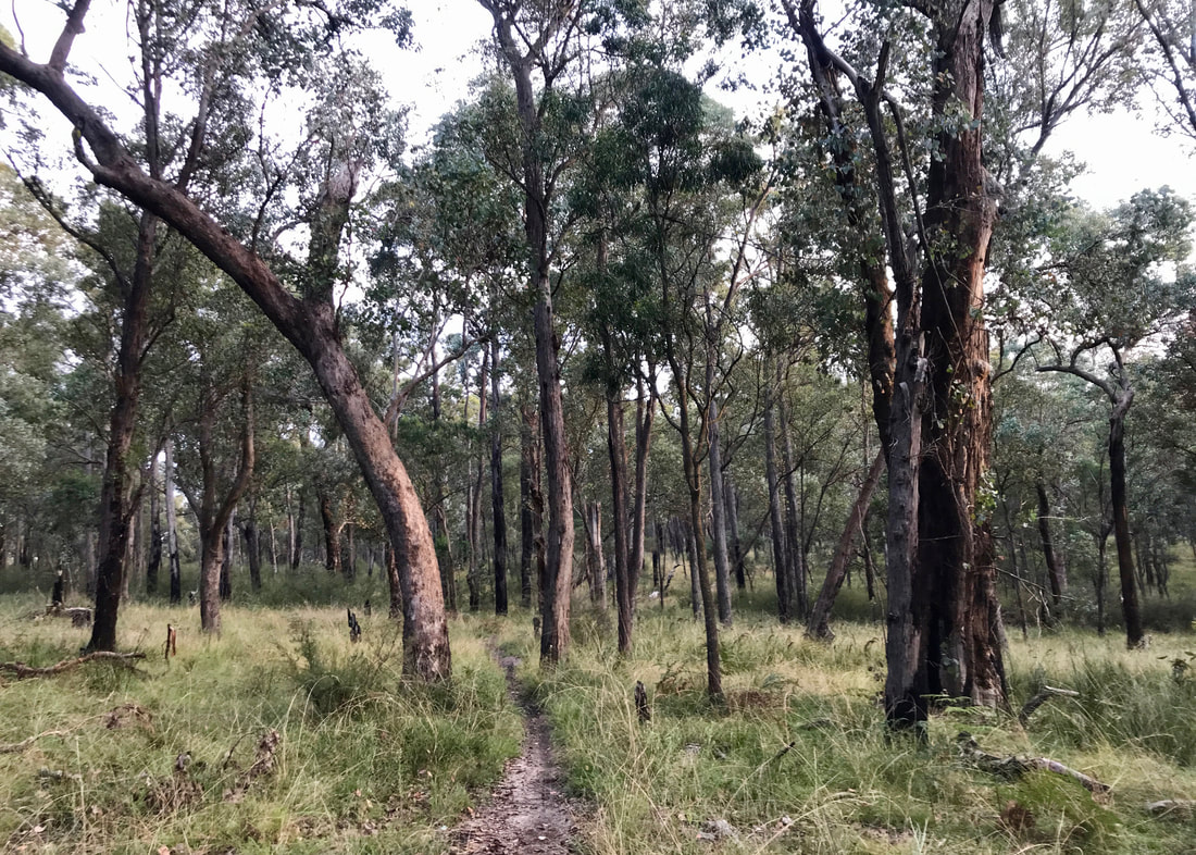
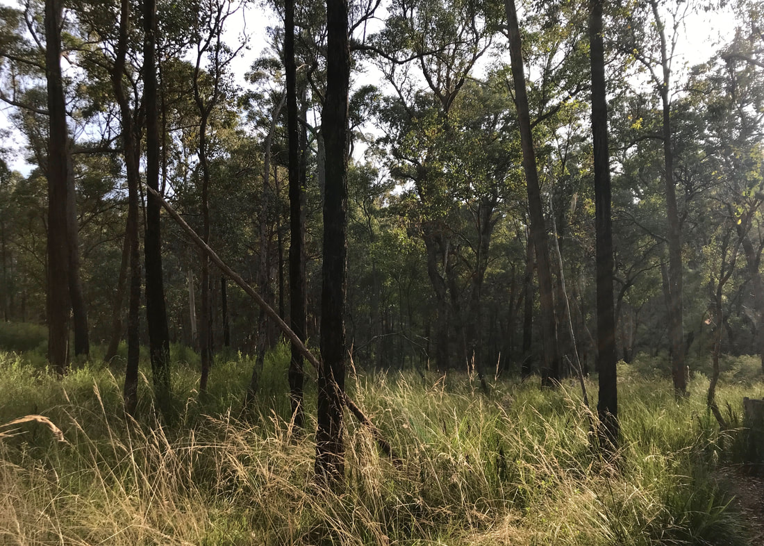
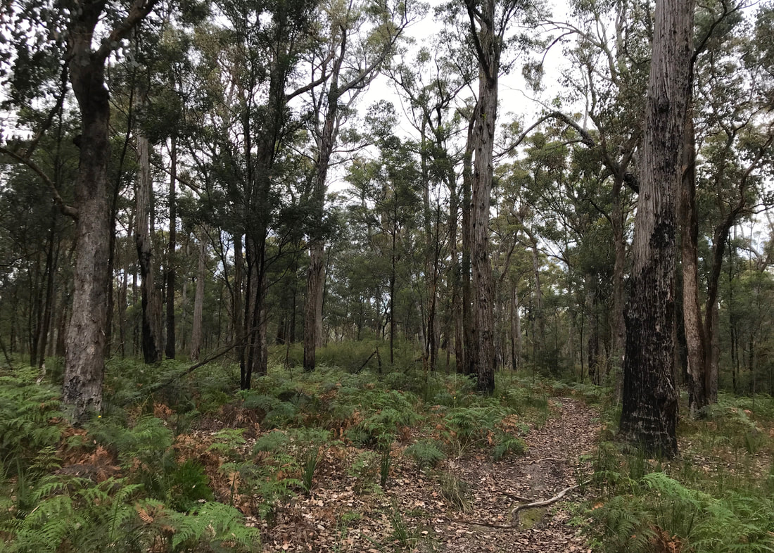
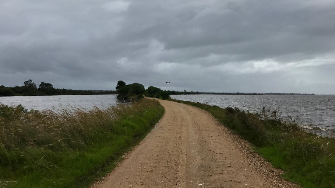
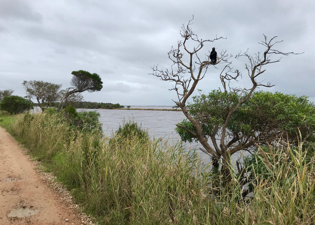
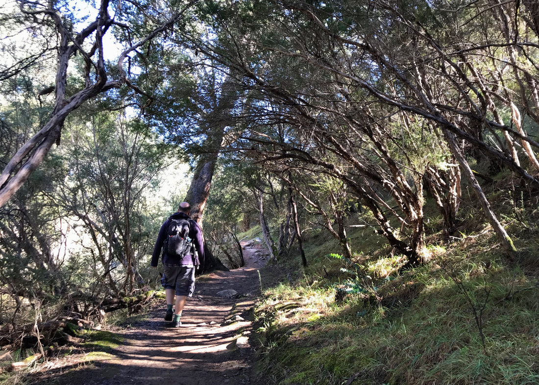
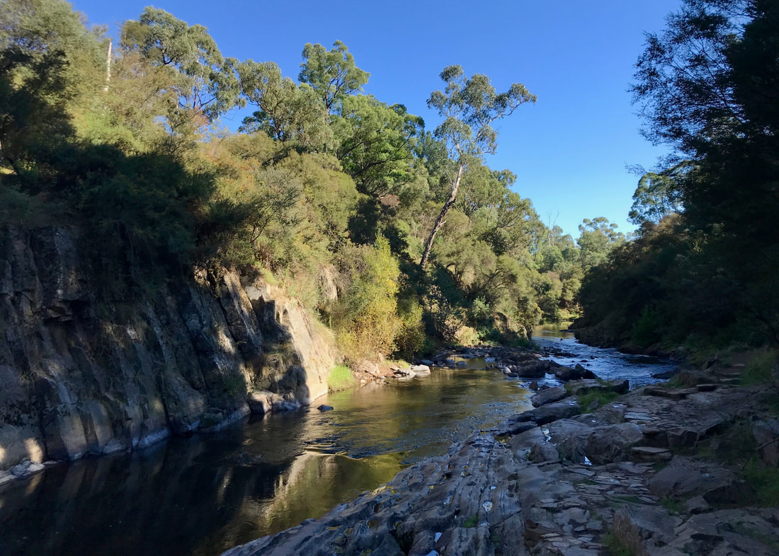
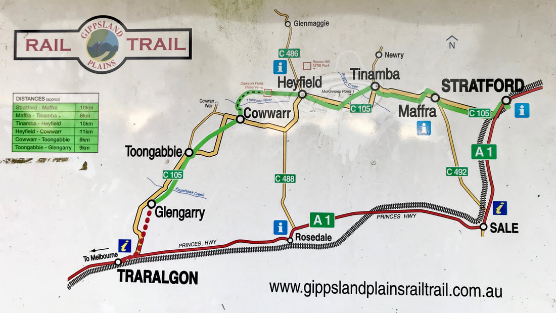
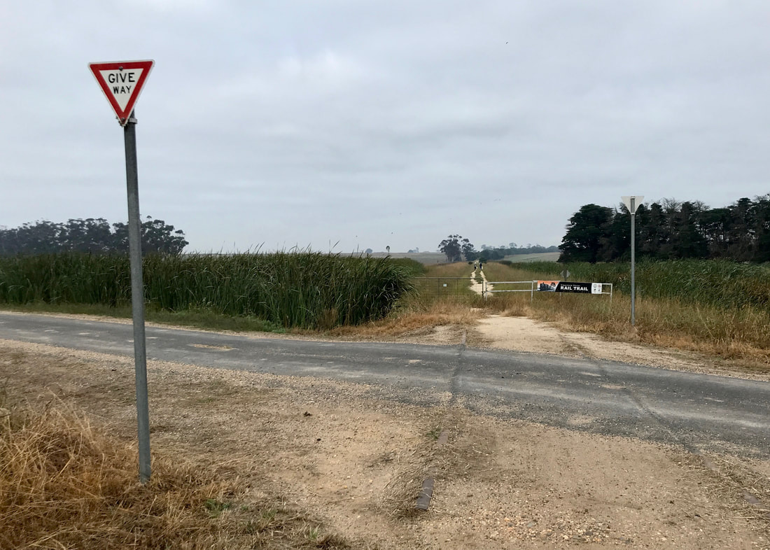
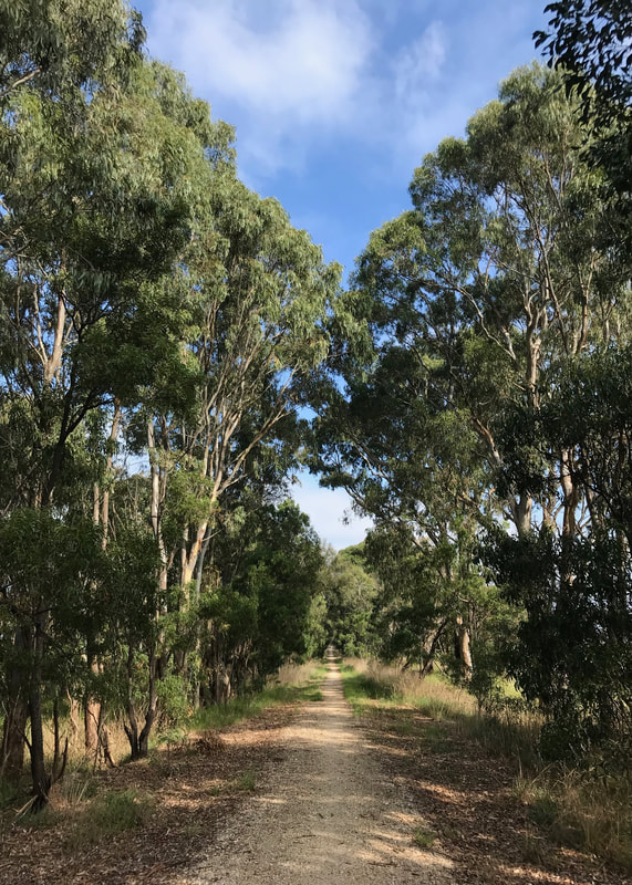
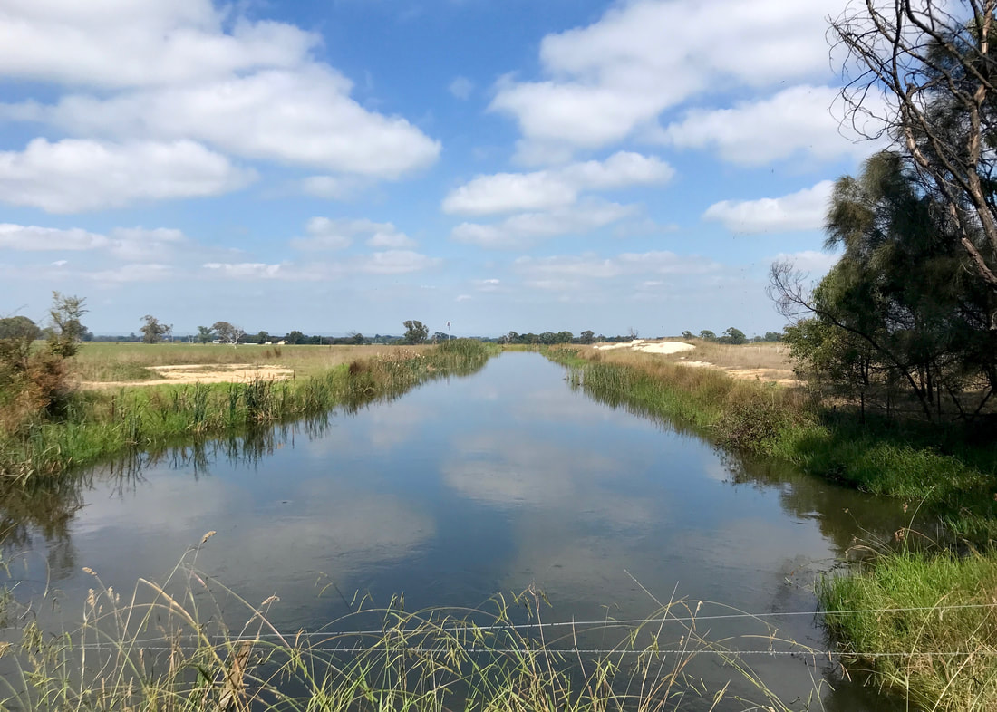
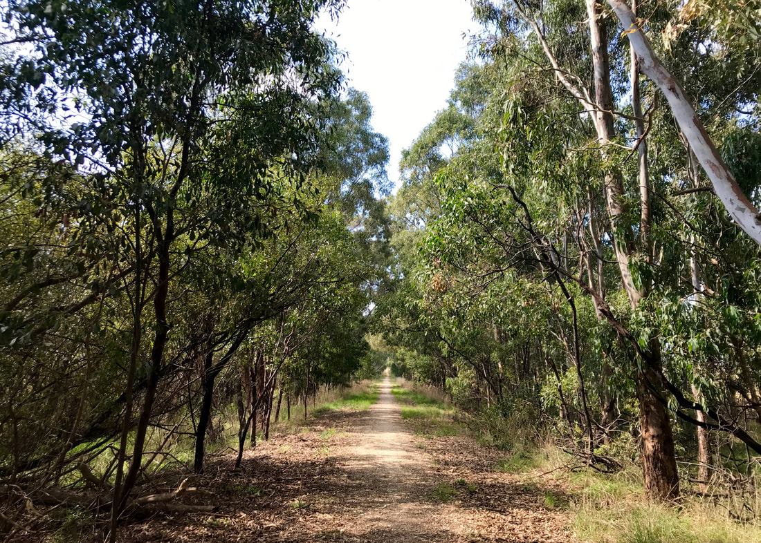
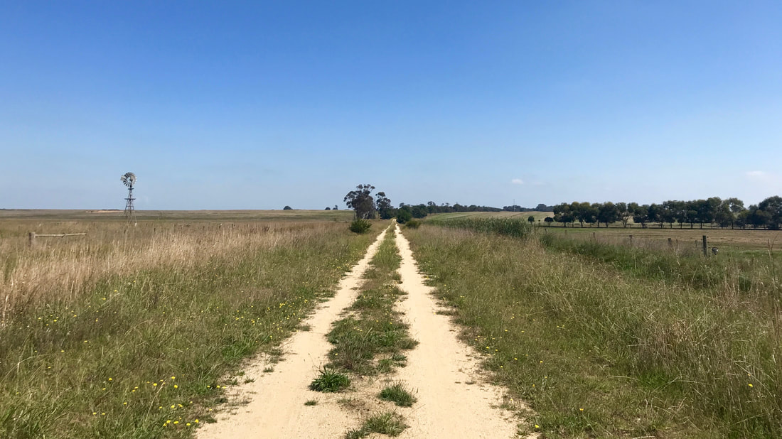
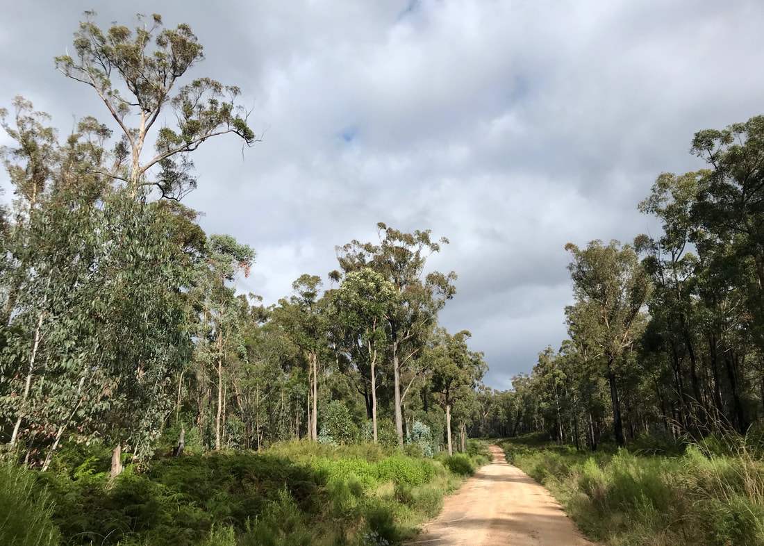
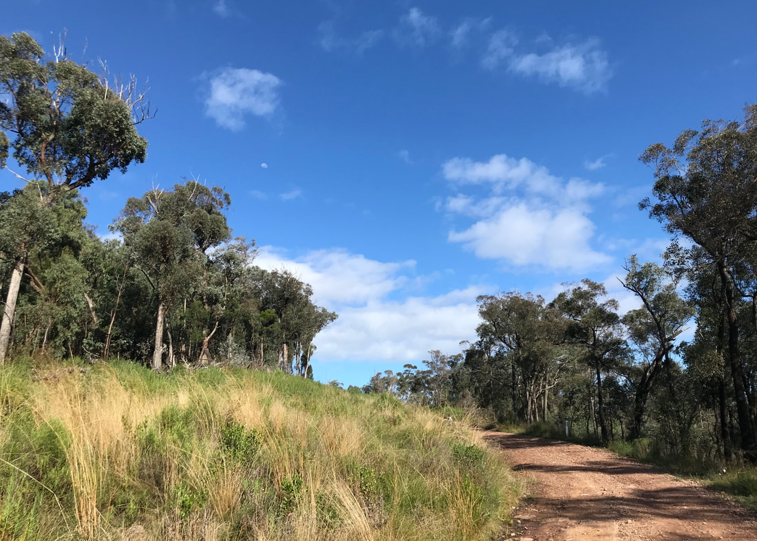
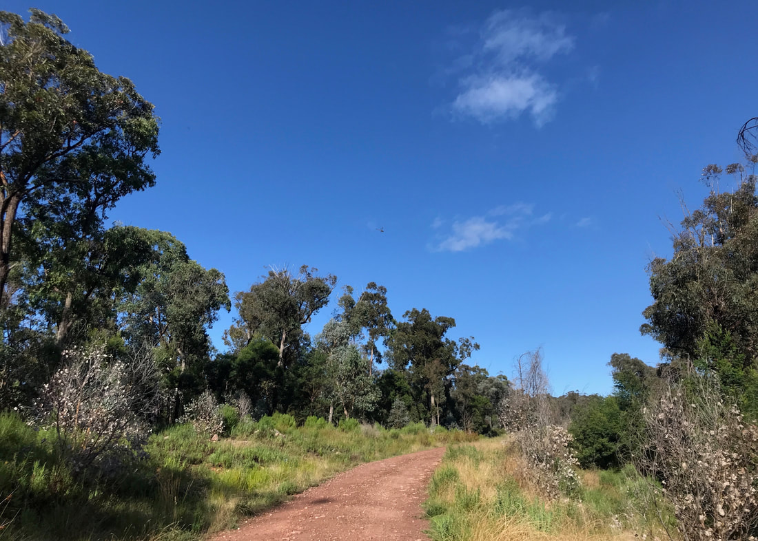
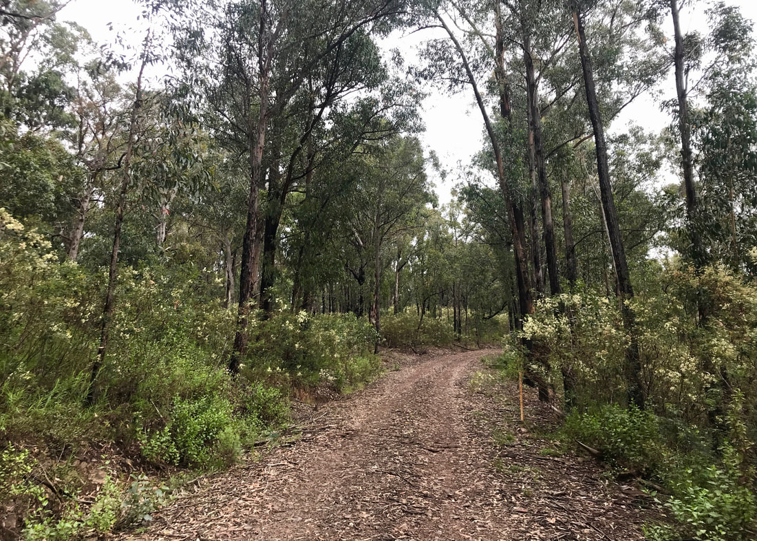
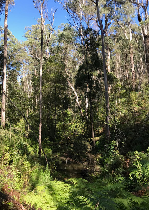
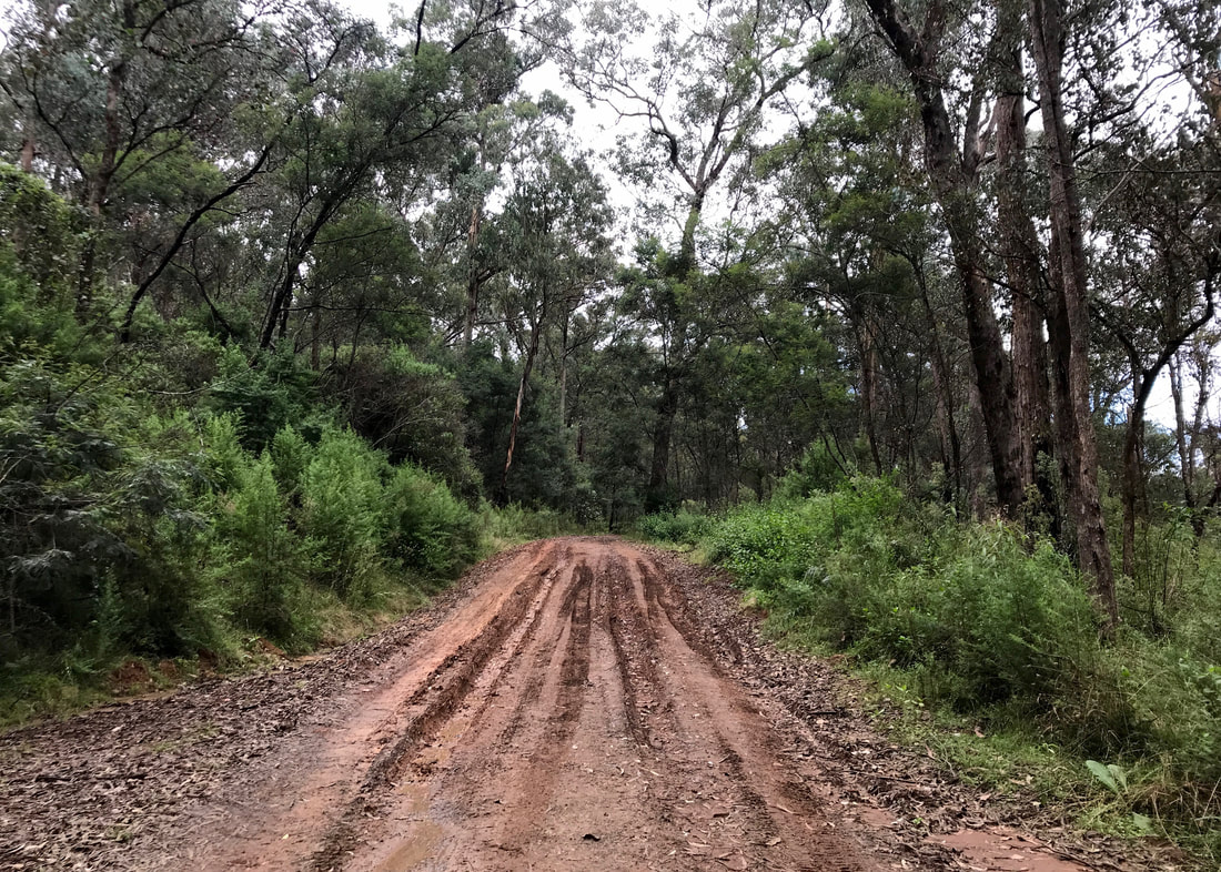
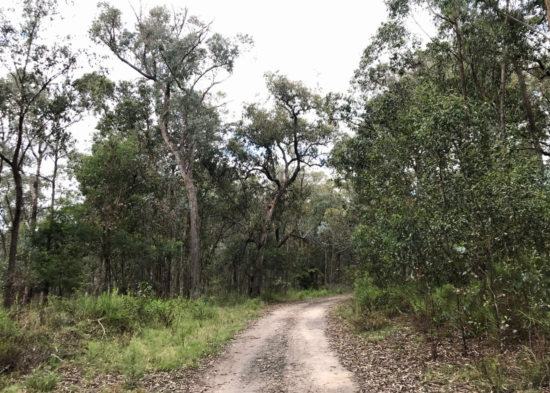
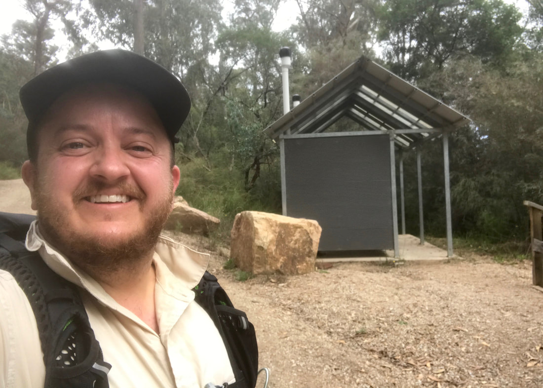
Moe-Yallourn Rail Trail
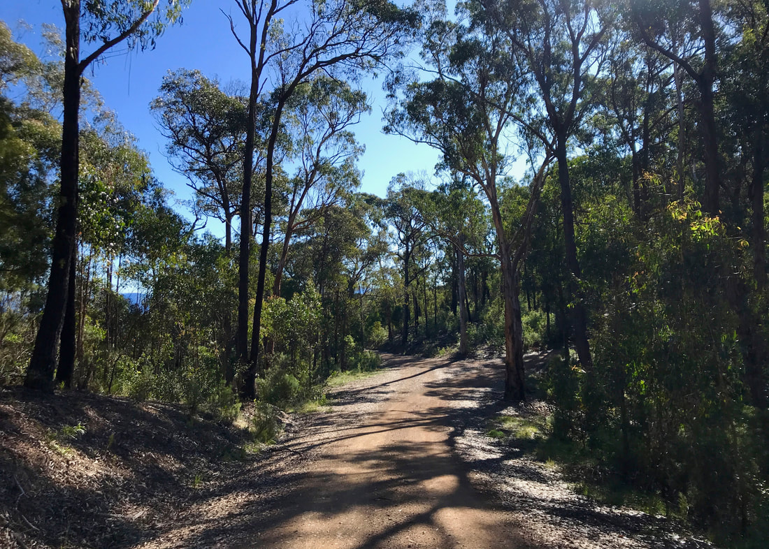
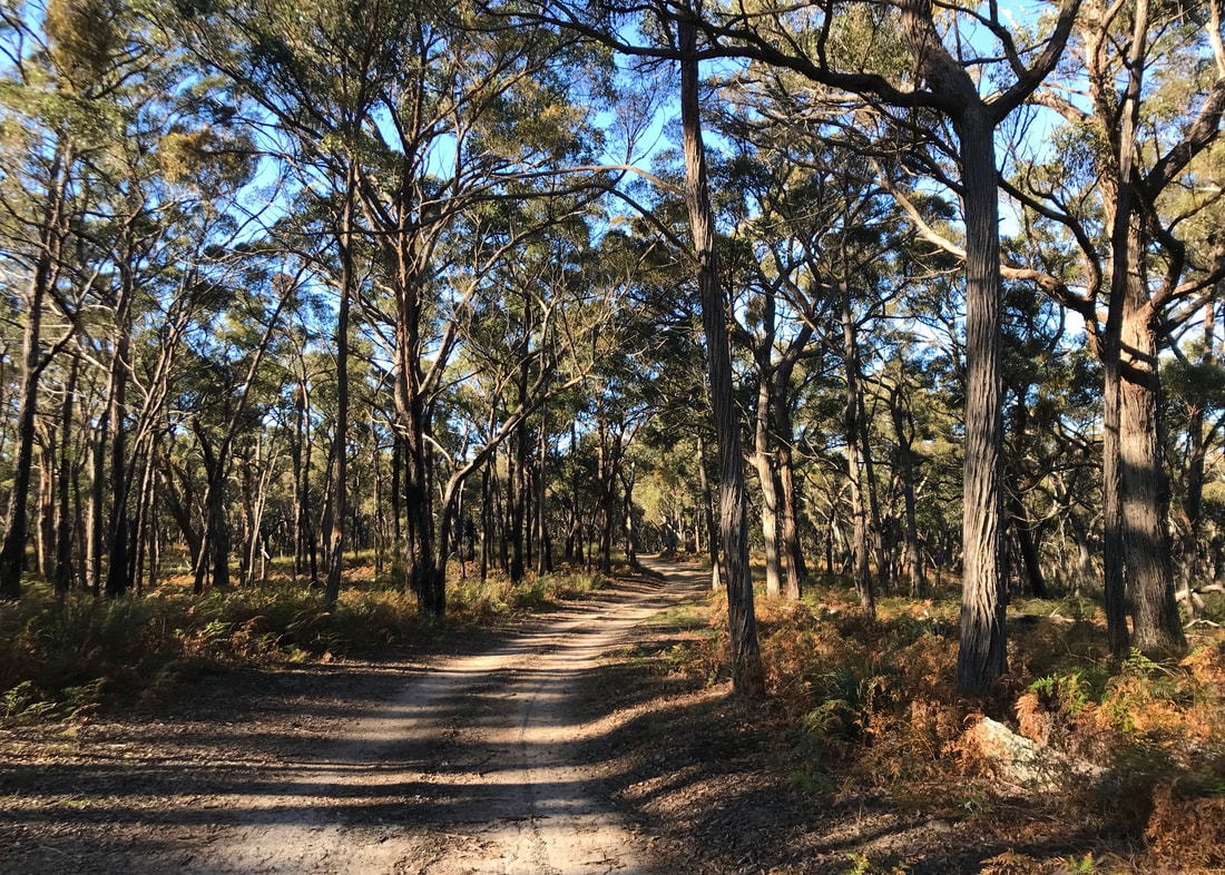
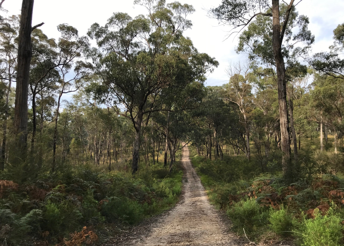
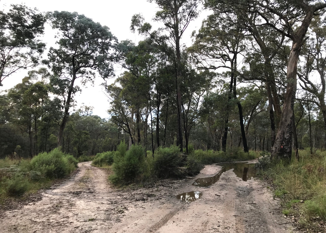
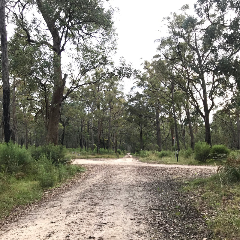
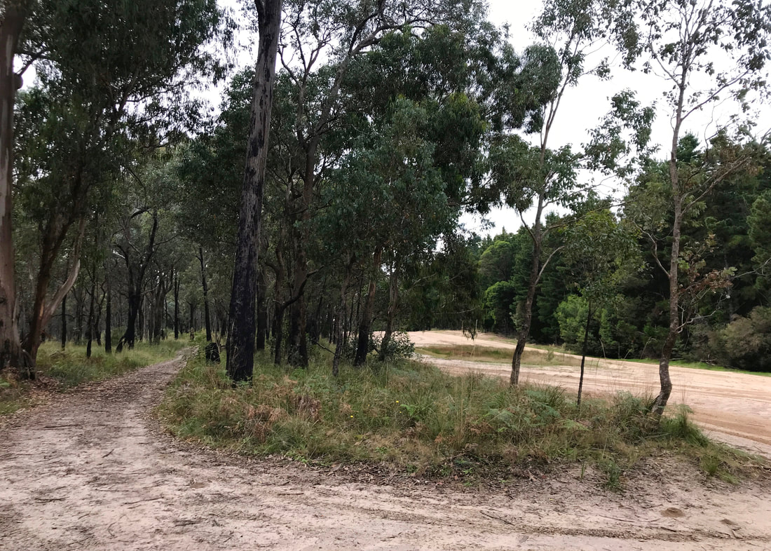
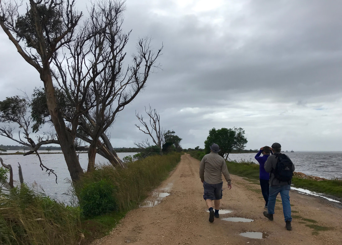
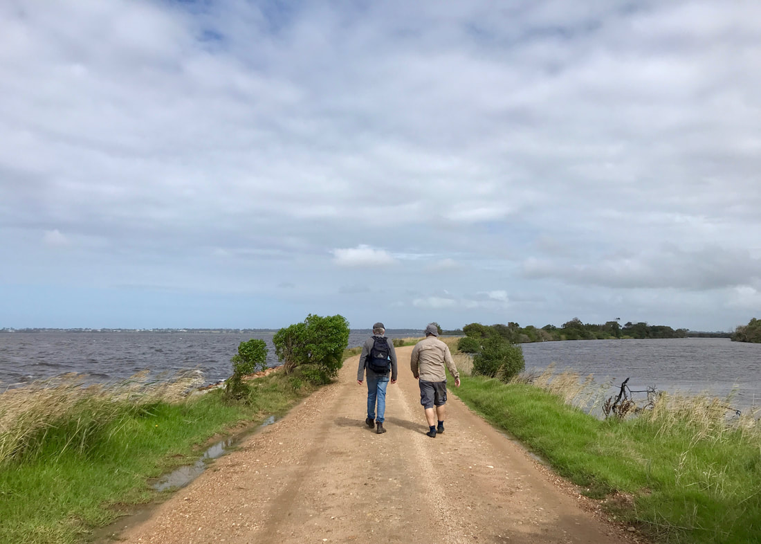
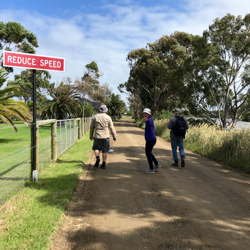
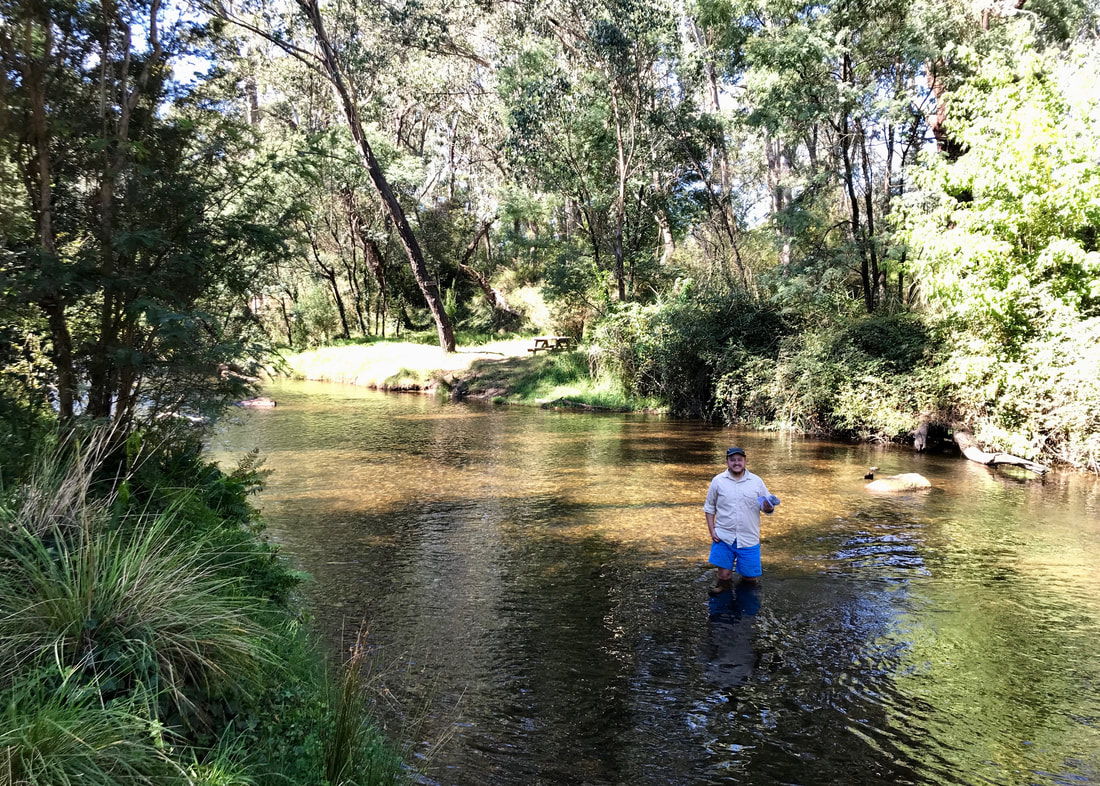
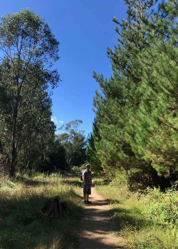
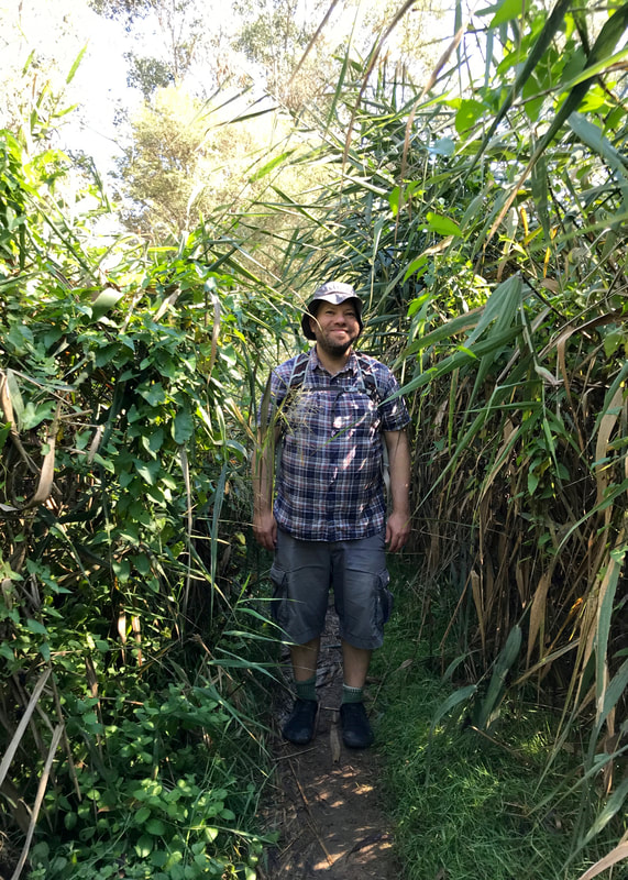
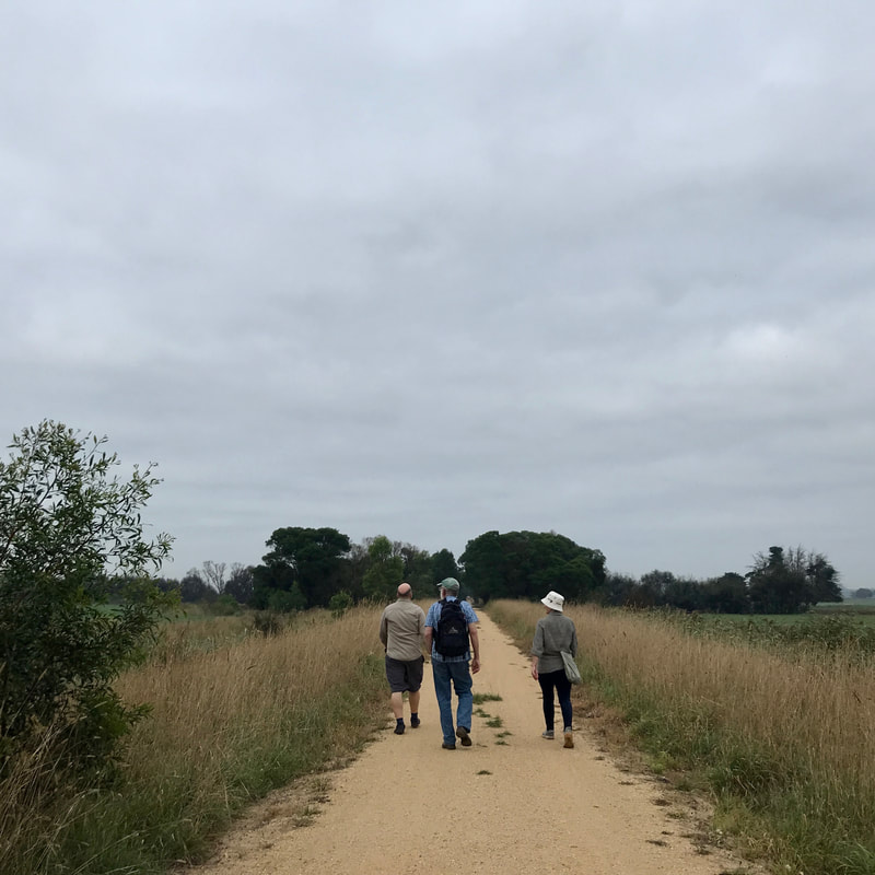
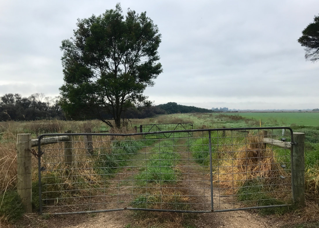
On Saturday, we walked the Moe-Yallourn Rail Trail with two friends, G and D.
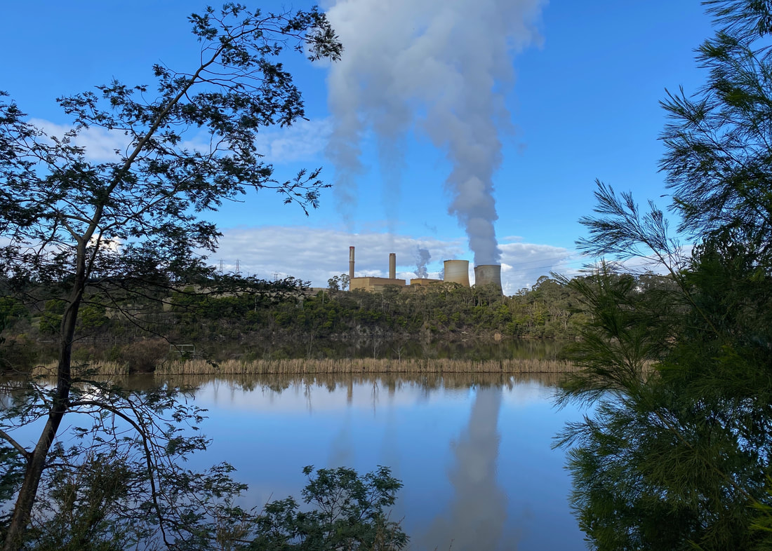
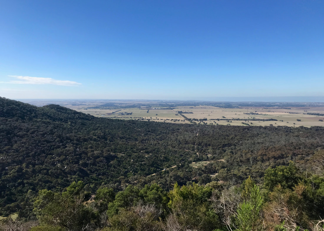
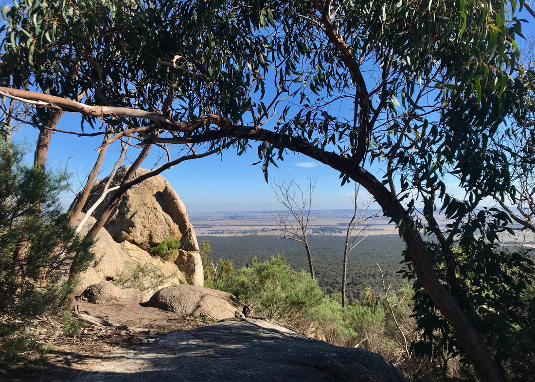
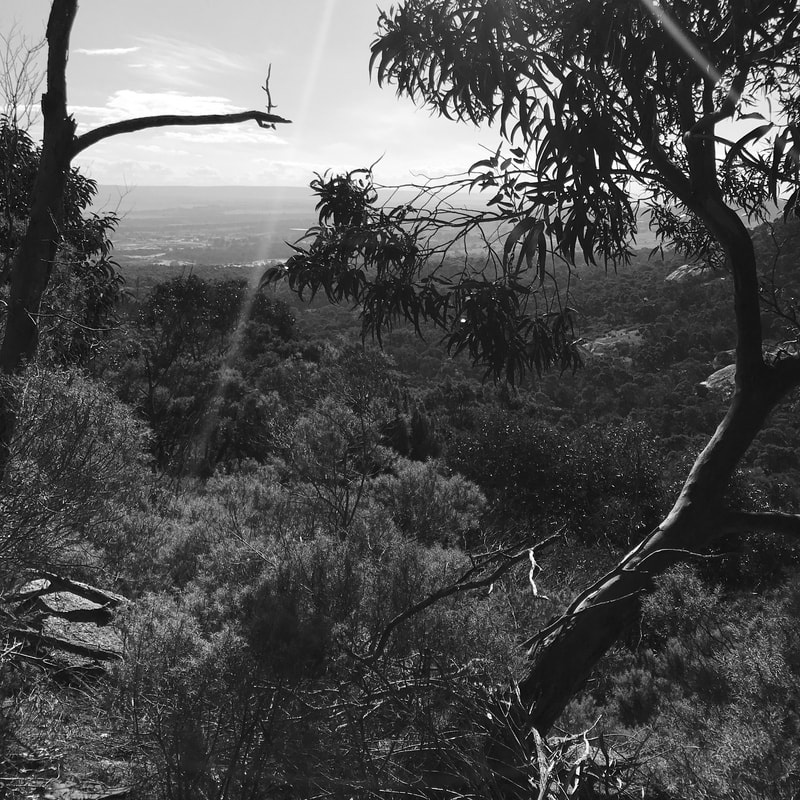
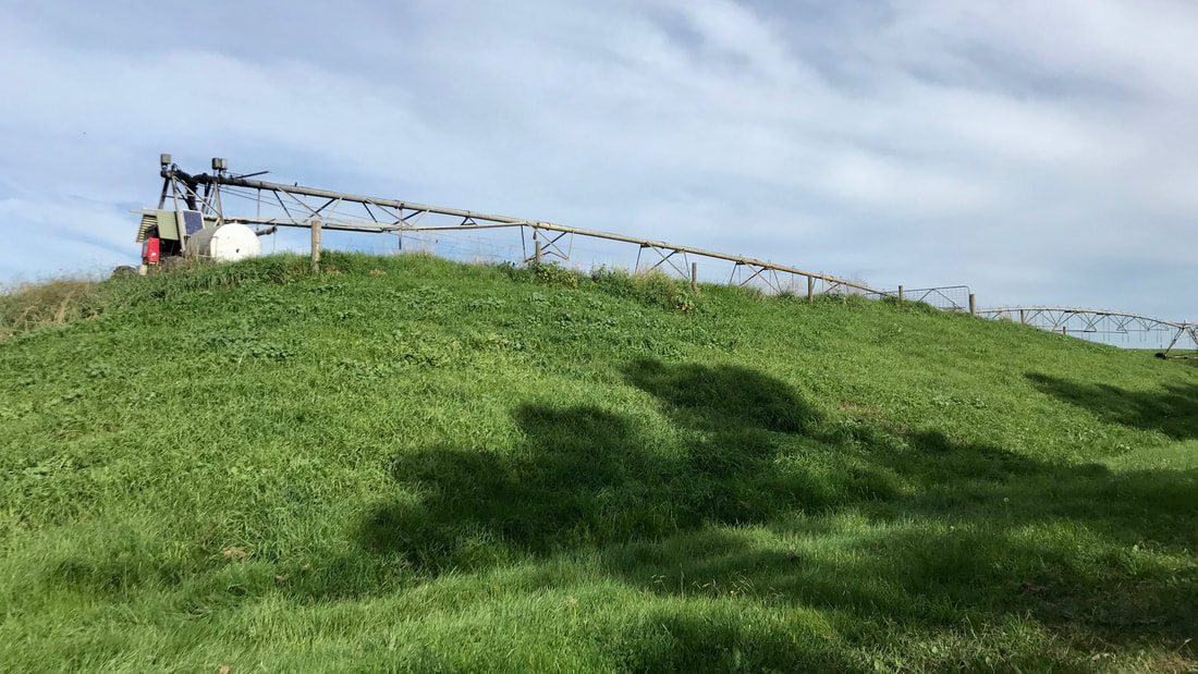
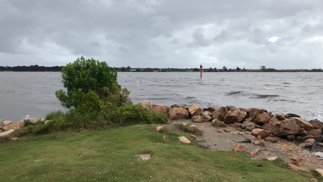
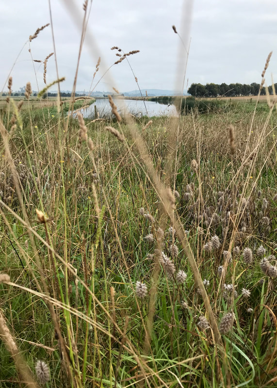
I recommend the Lake Narracan detour/loop, at least in part because the footpath back to the rail trail offers this great view of the power station.
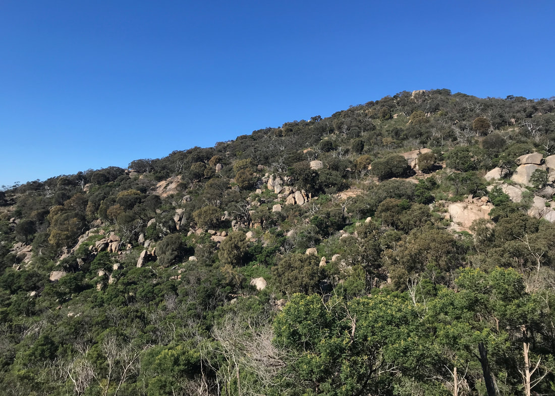
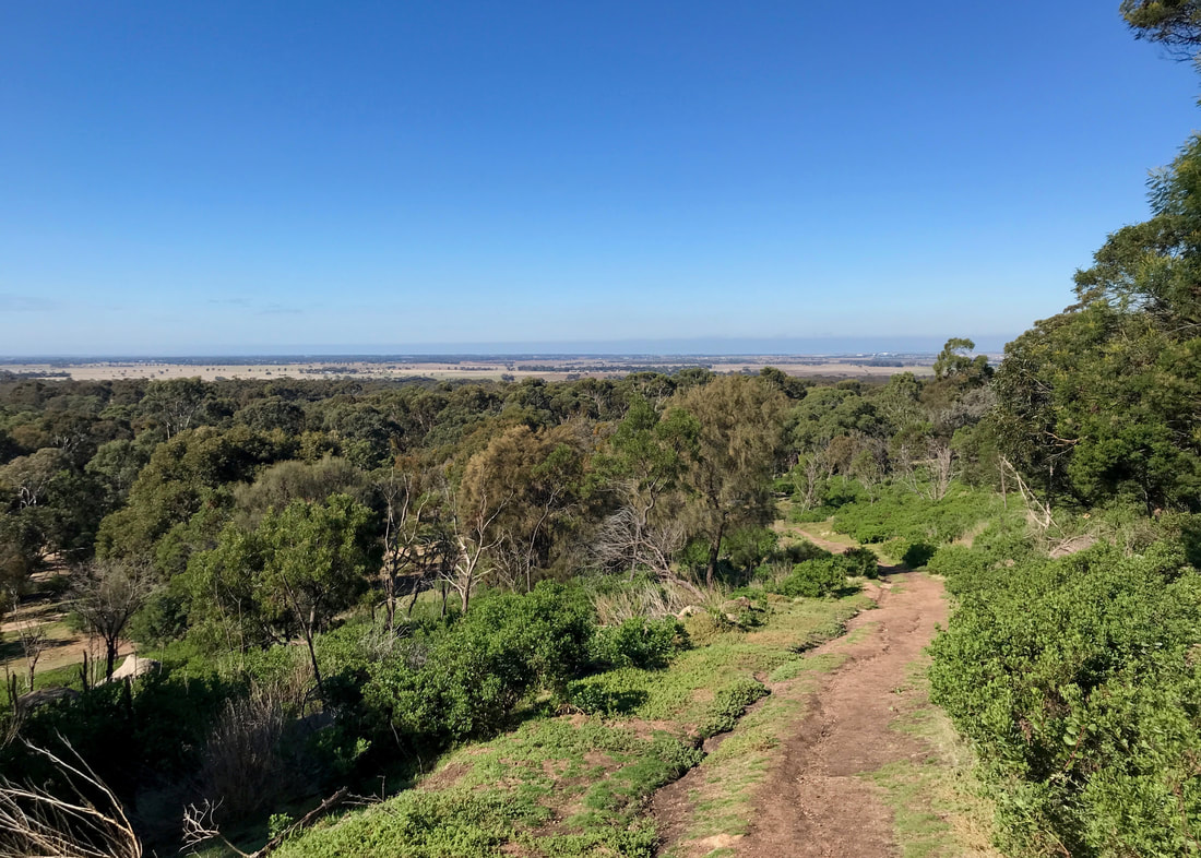
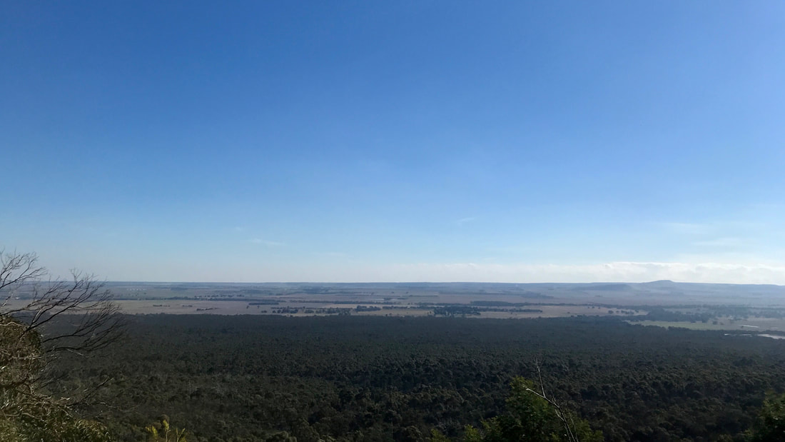
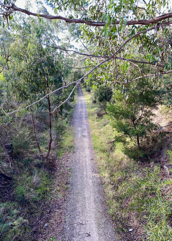 The trail viewed from above, at the start of the Lake Narracan loop. | 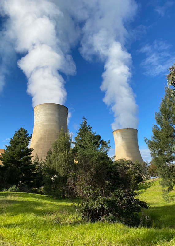 Getting up close and personal with the Yallourn smoke stacks. |
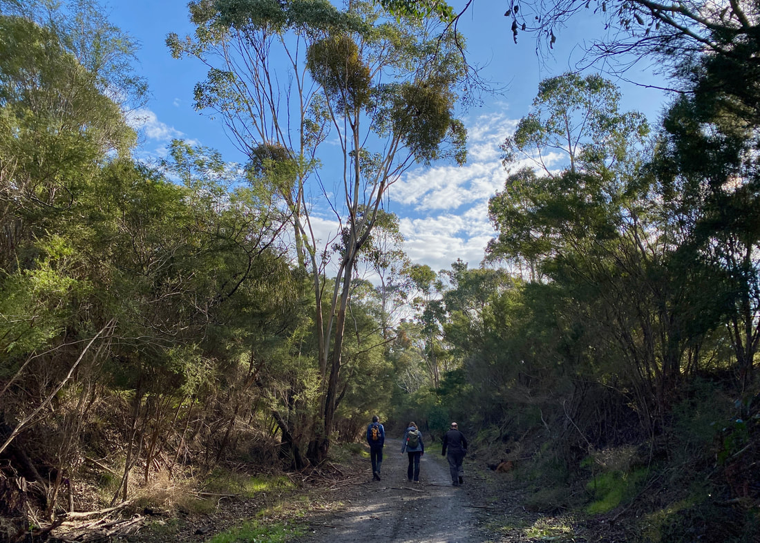
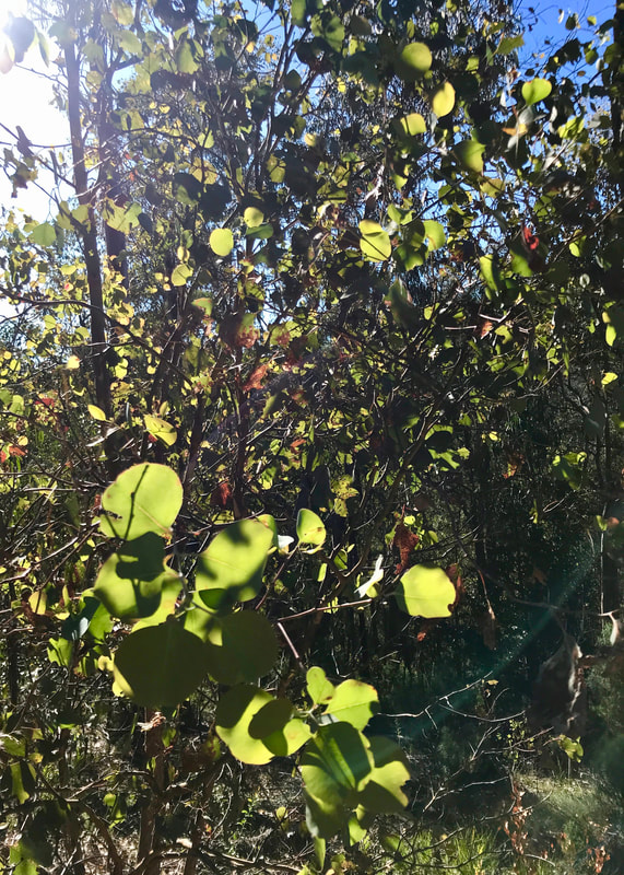
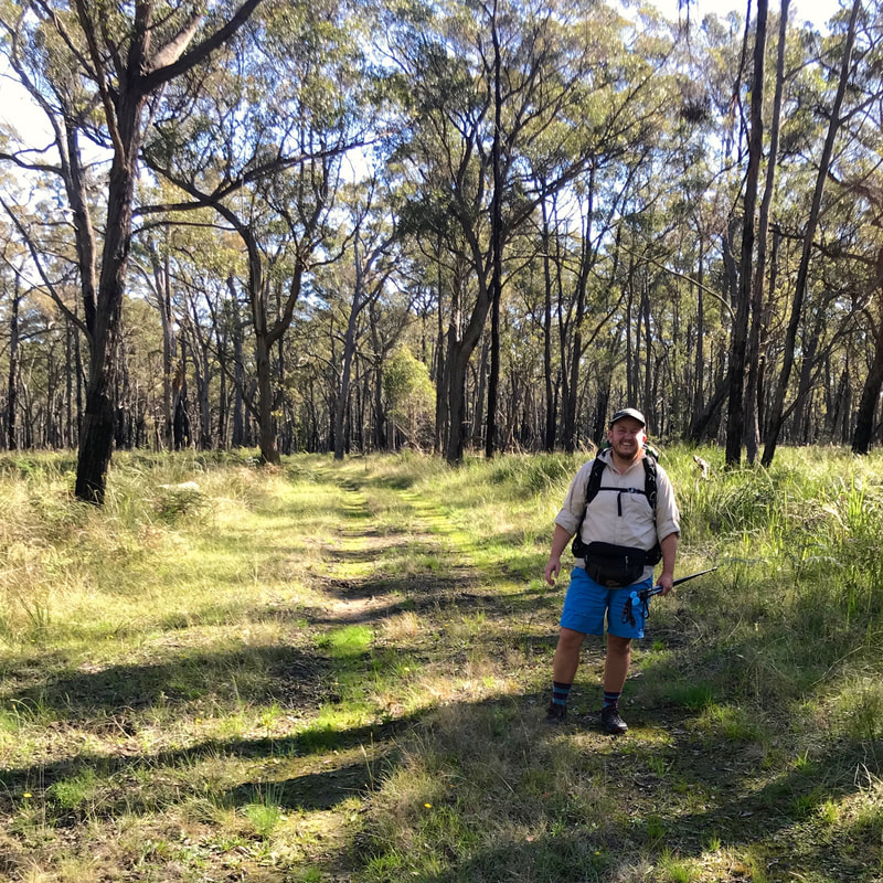
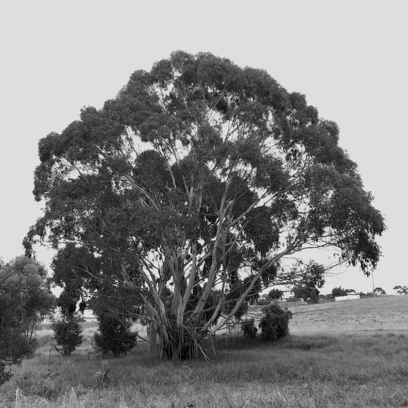
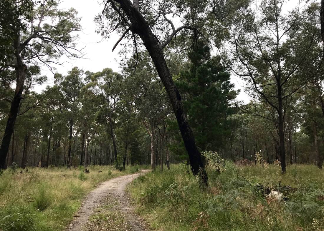
G, D and Dan on the Moe-Yallourn Rail Trail - a greener walk than I expected.
- We had brilliant weather after 2 weeks of mostly grey, cold, wet, dreary bleakness.
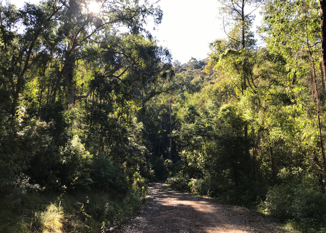
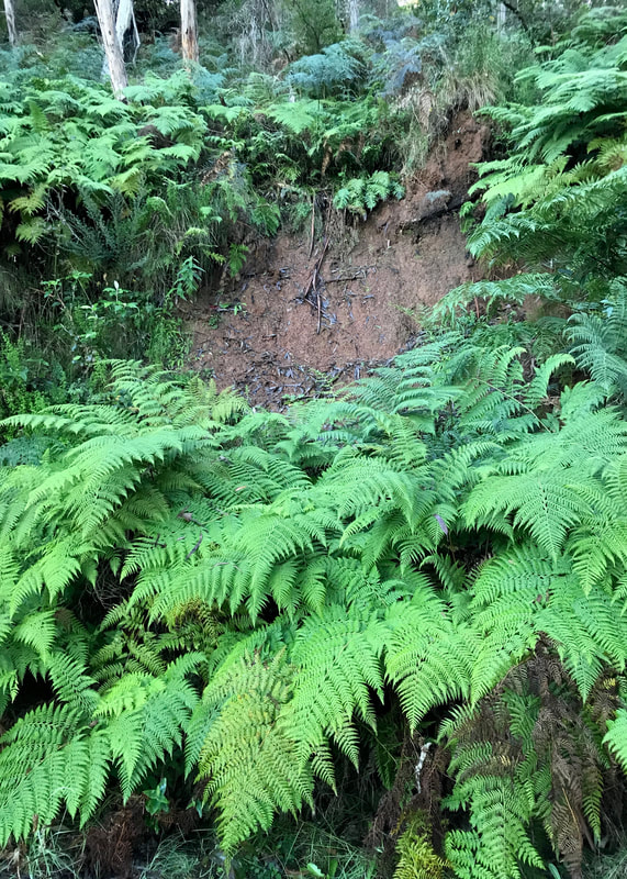
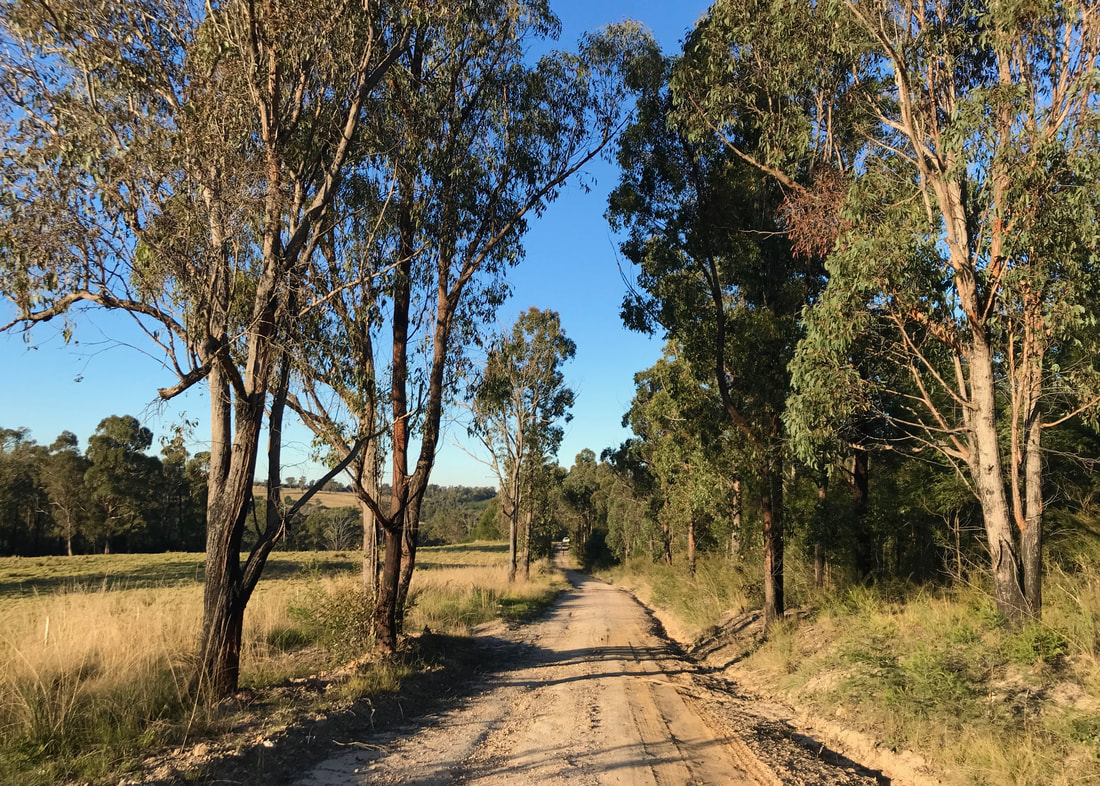
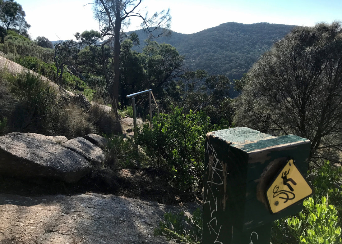
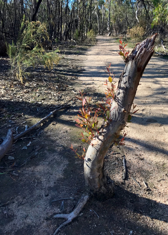
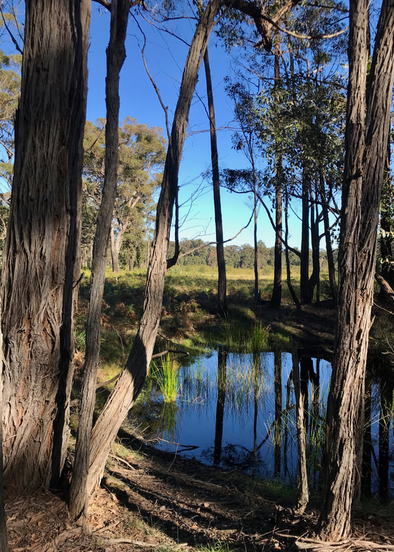
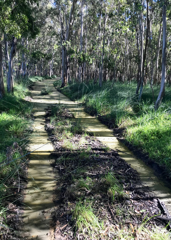
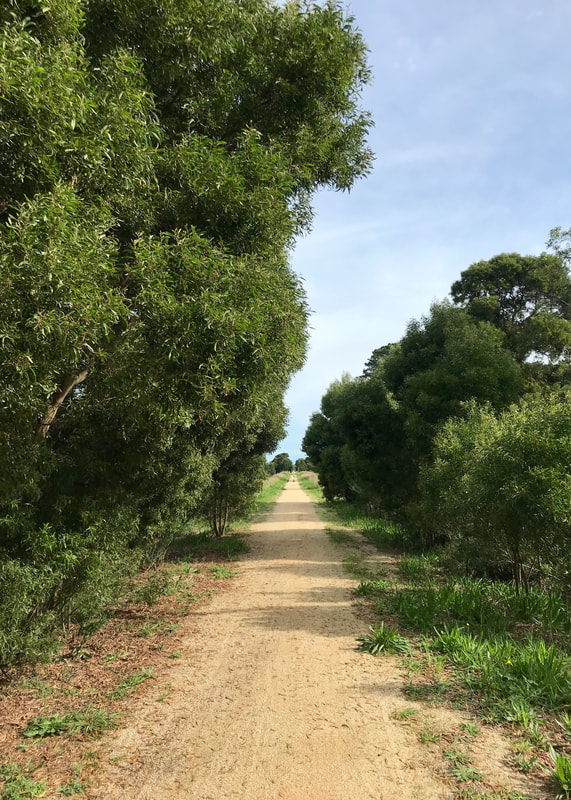
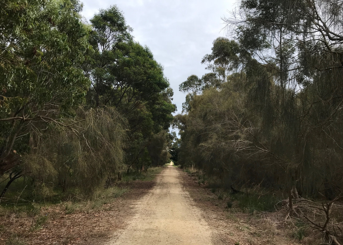
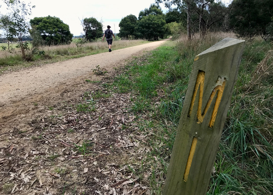
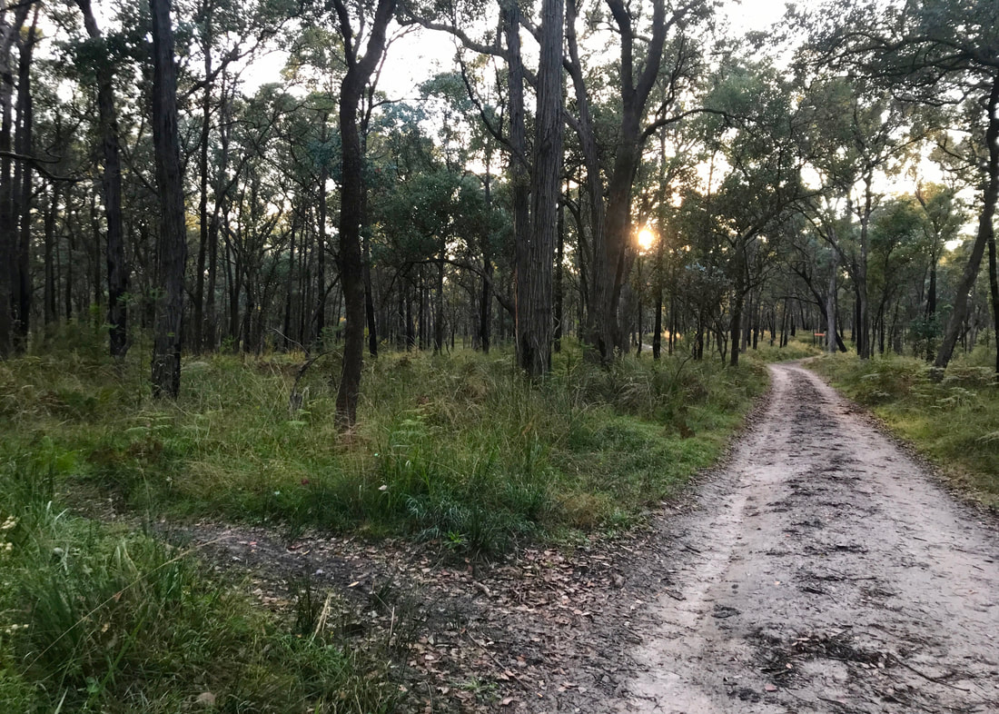
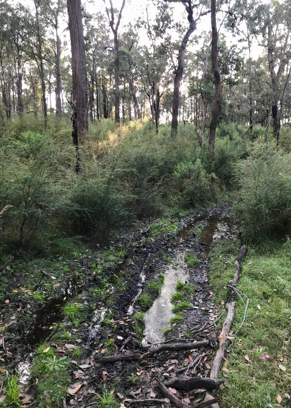
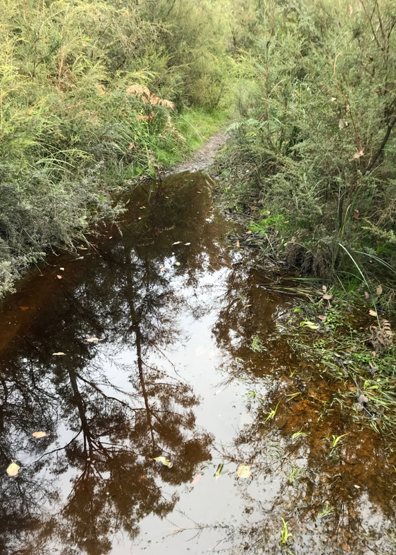
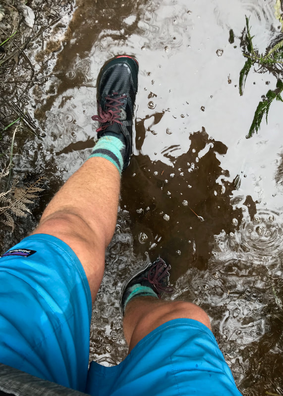
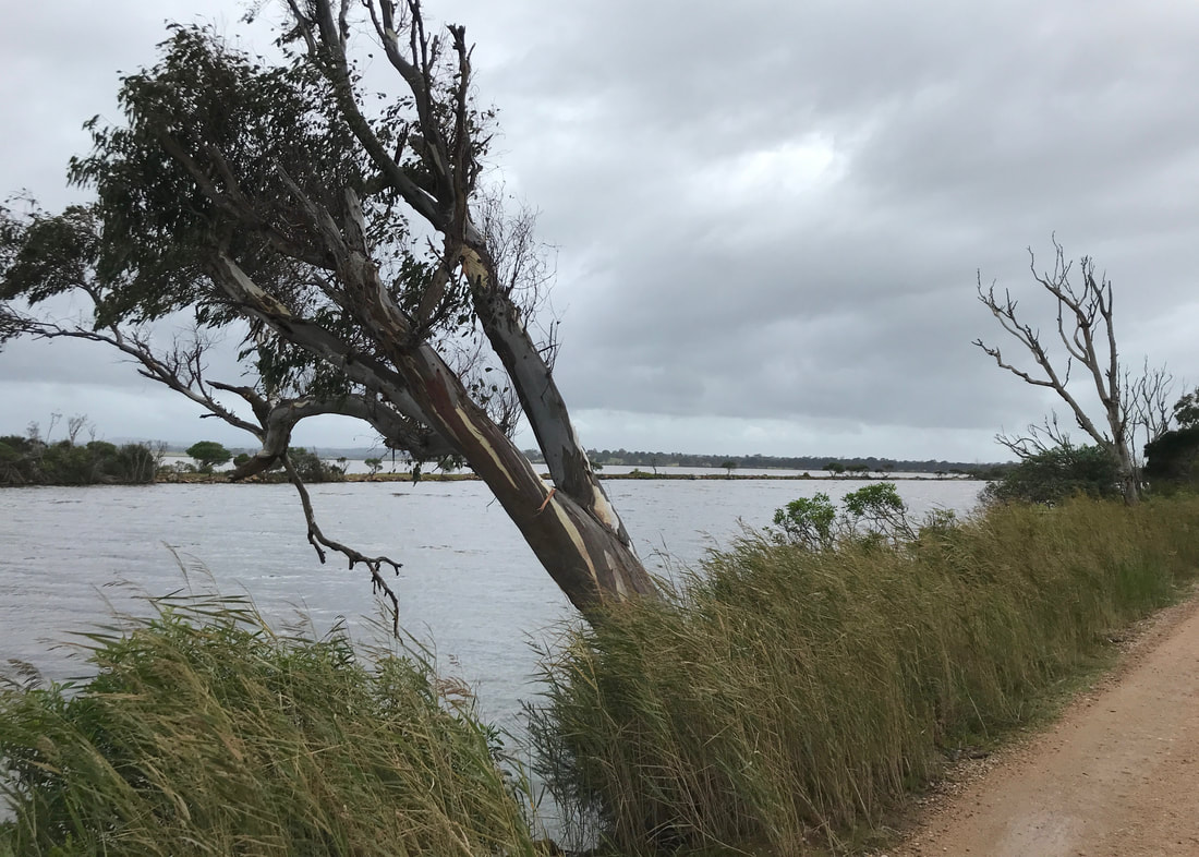
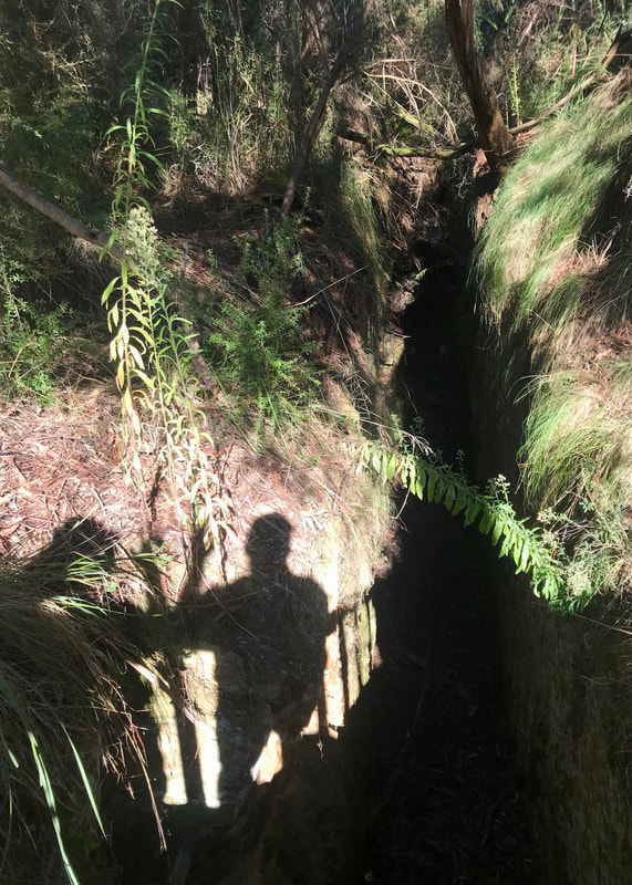
- It was a flat, dirt path most of the time, apart from a little detour down to Lake Narracan - sealed, slope, then dirt road, and then a footpad winding back up to the trail. Really enjoyed this detour.
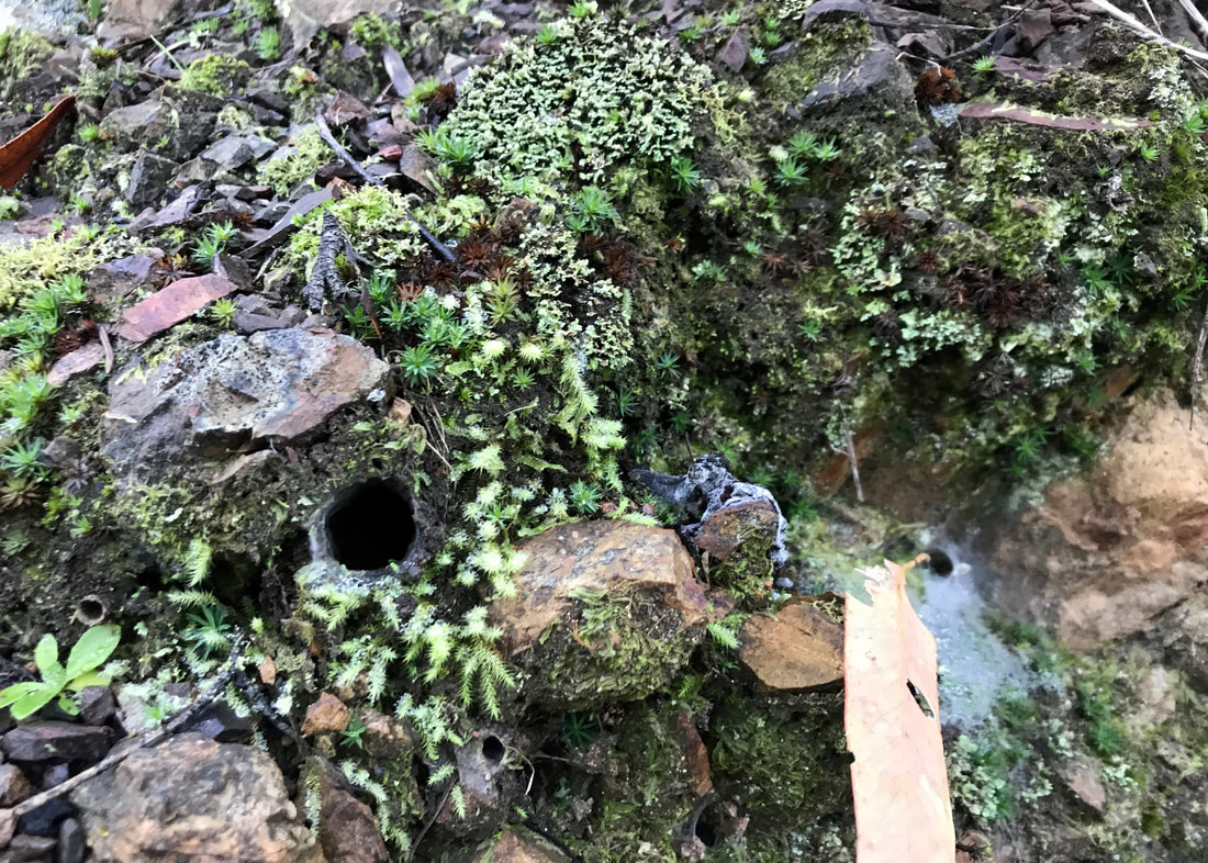
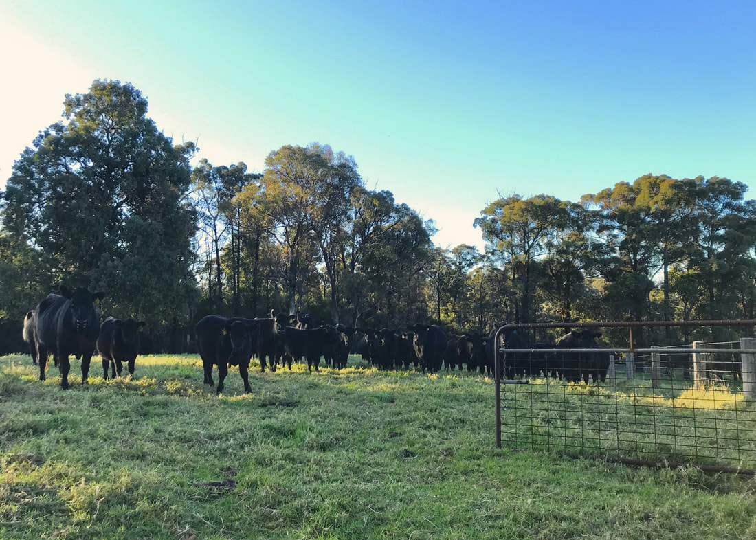
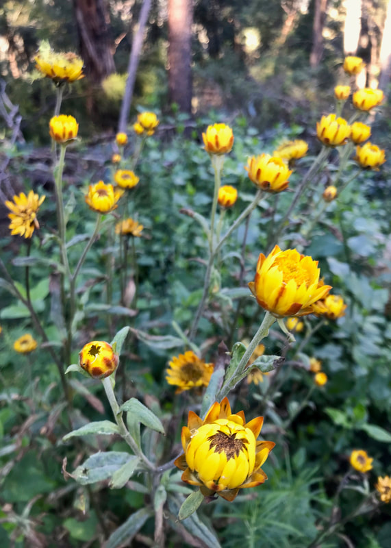
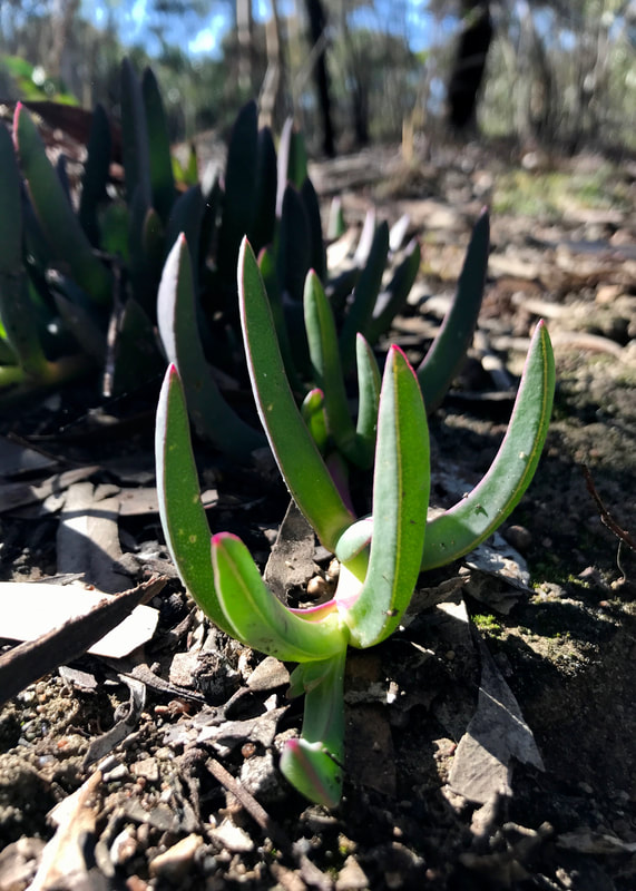
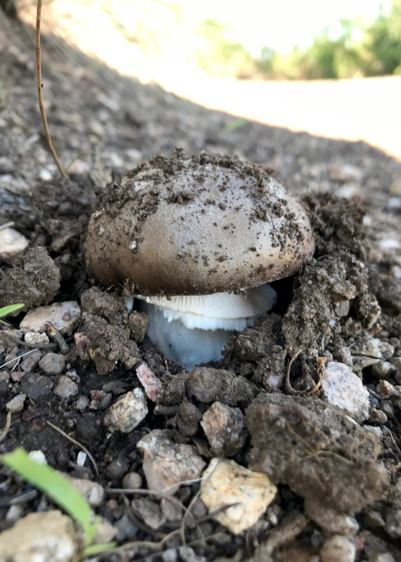
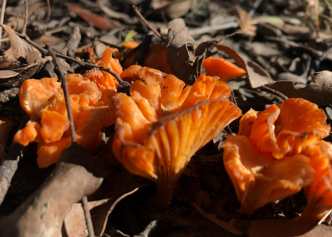
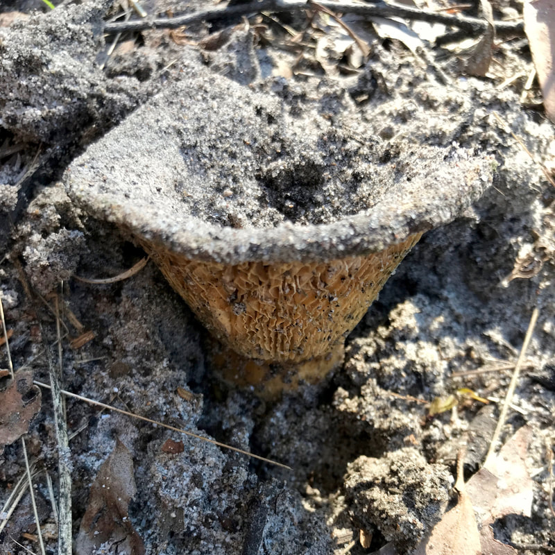
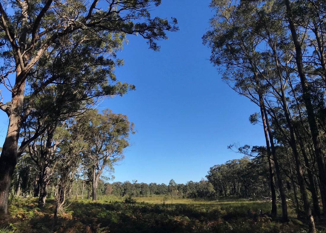
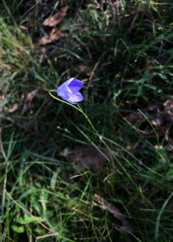
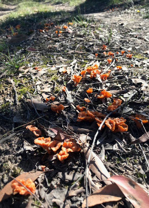
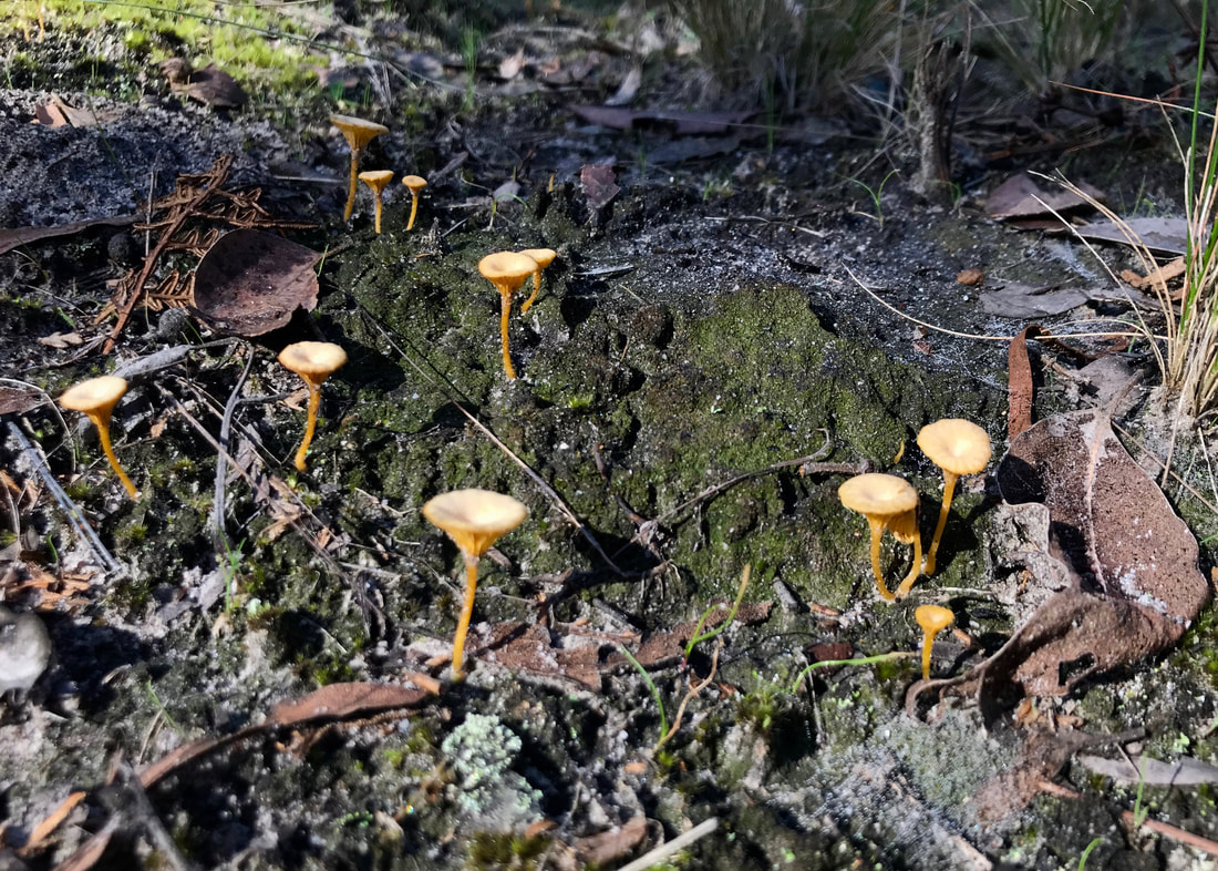
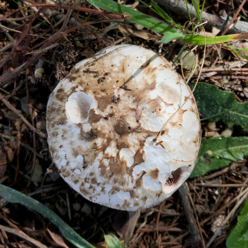
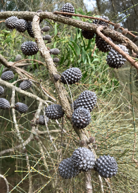
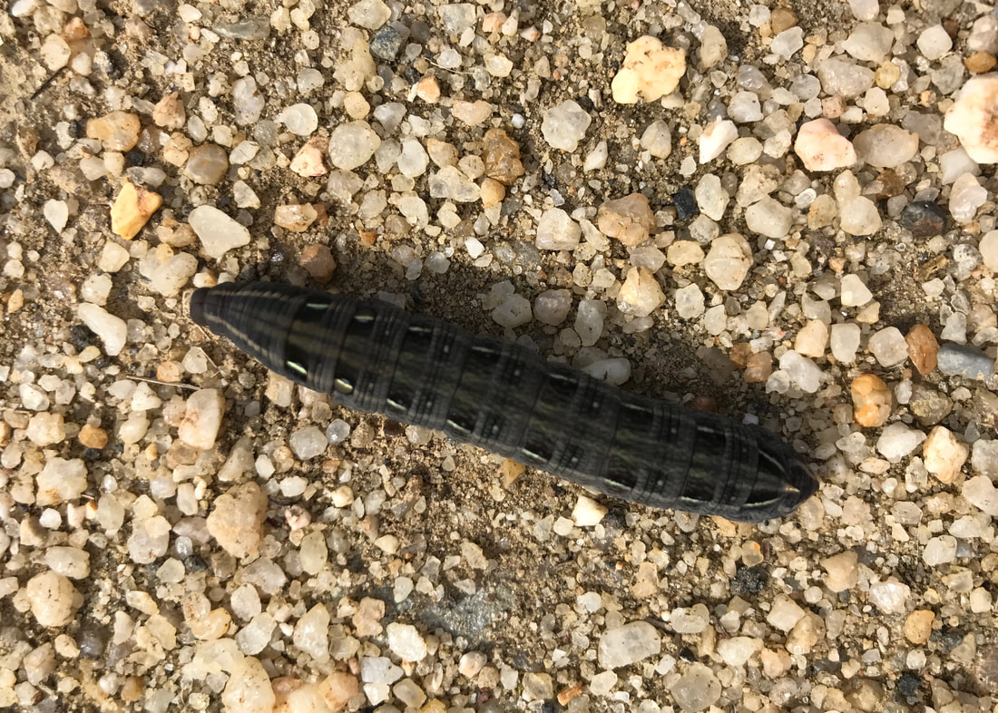
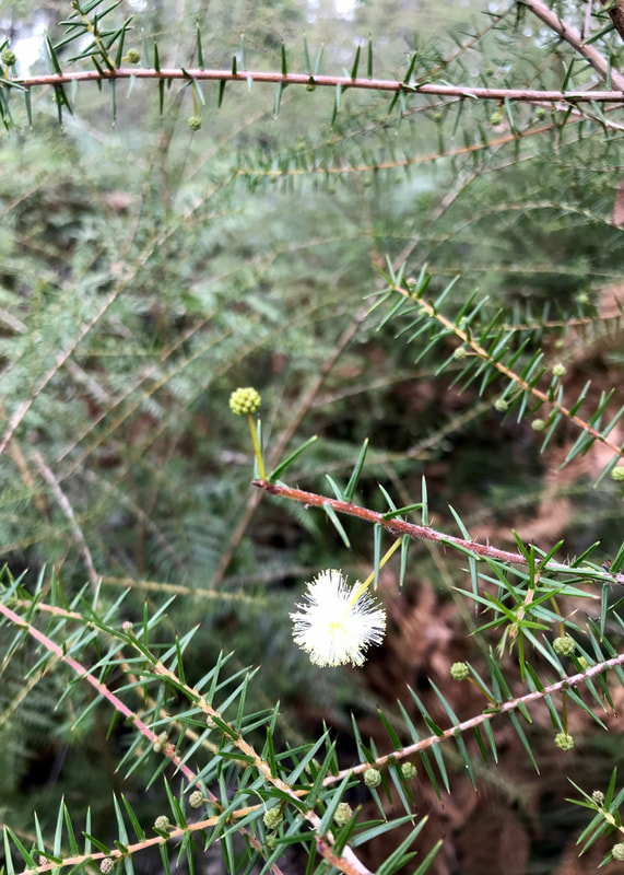
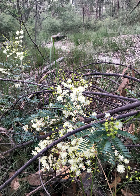
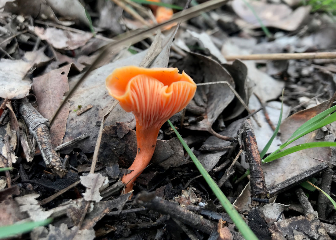
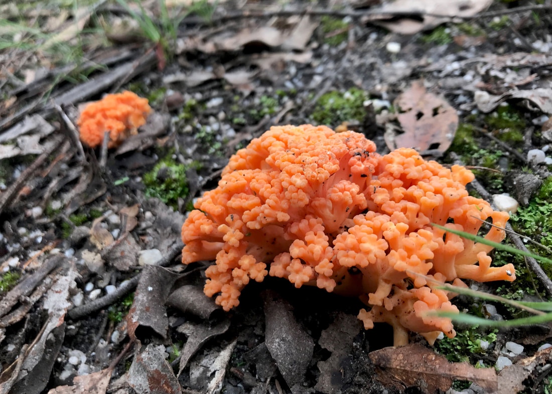
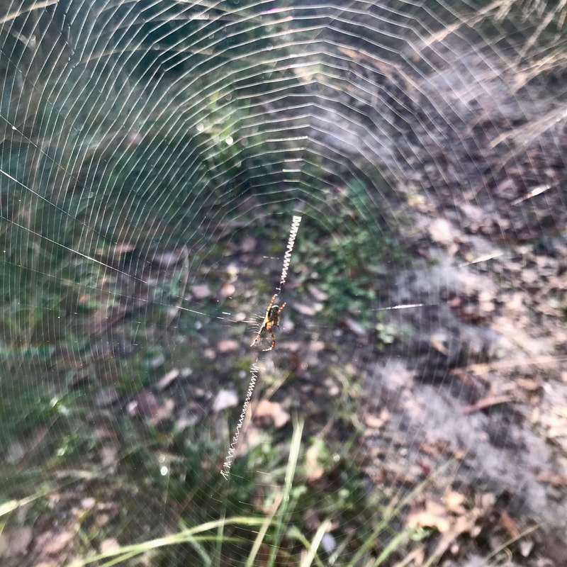
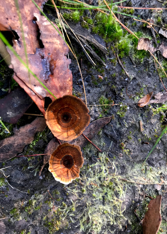
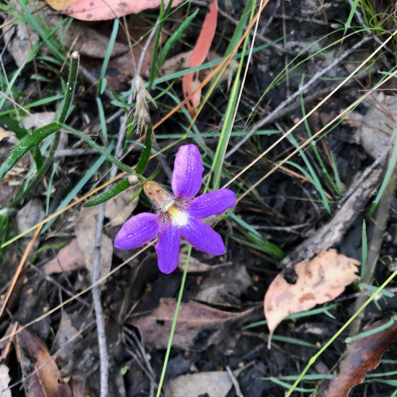
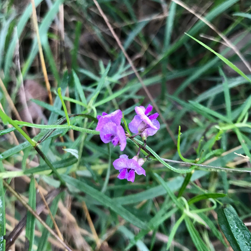
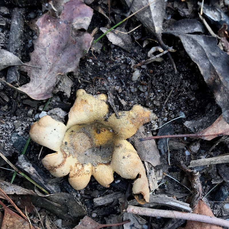
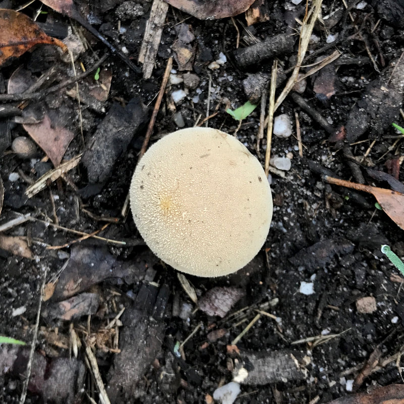
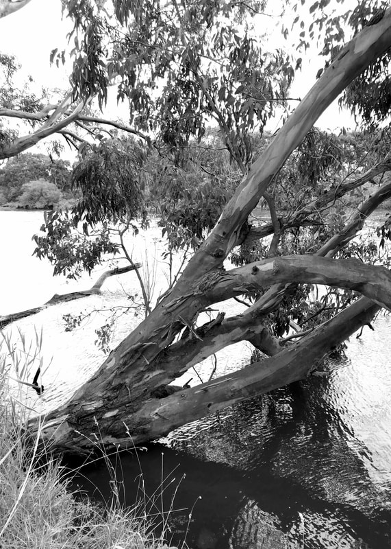
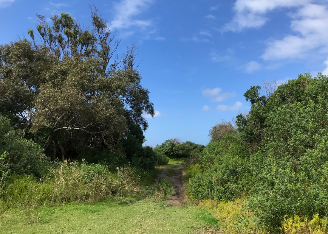
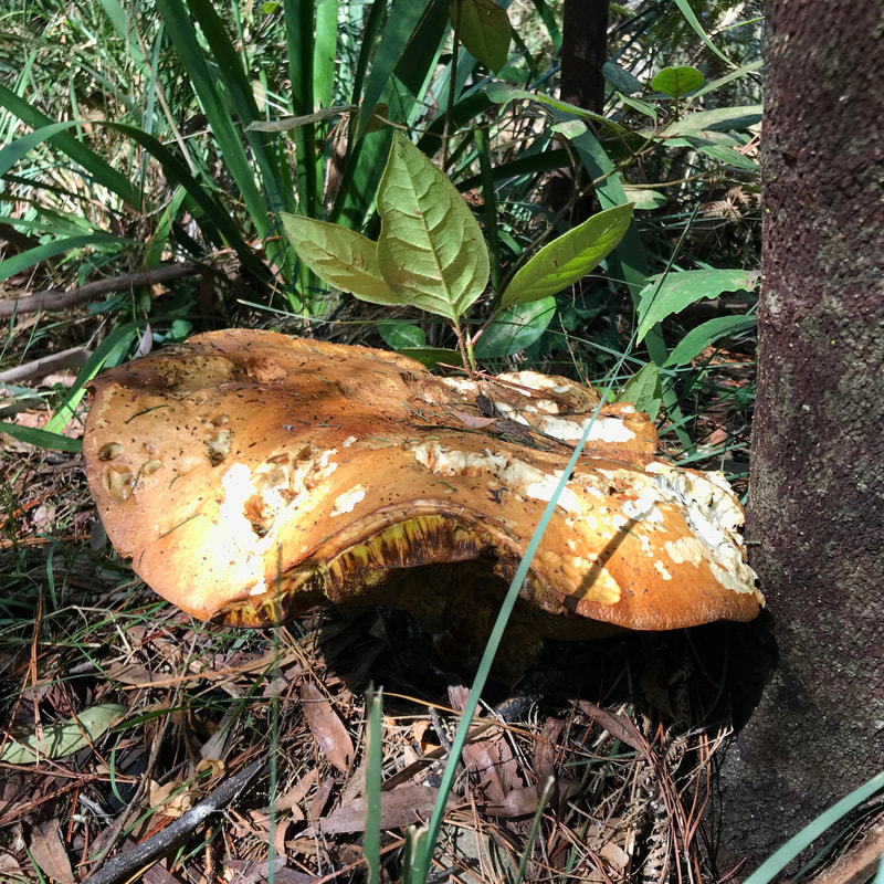
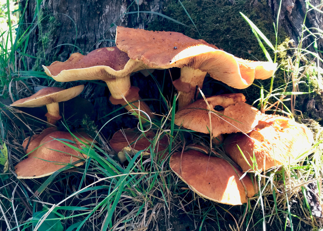
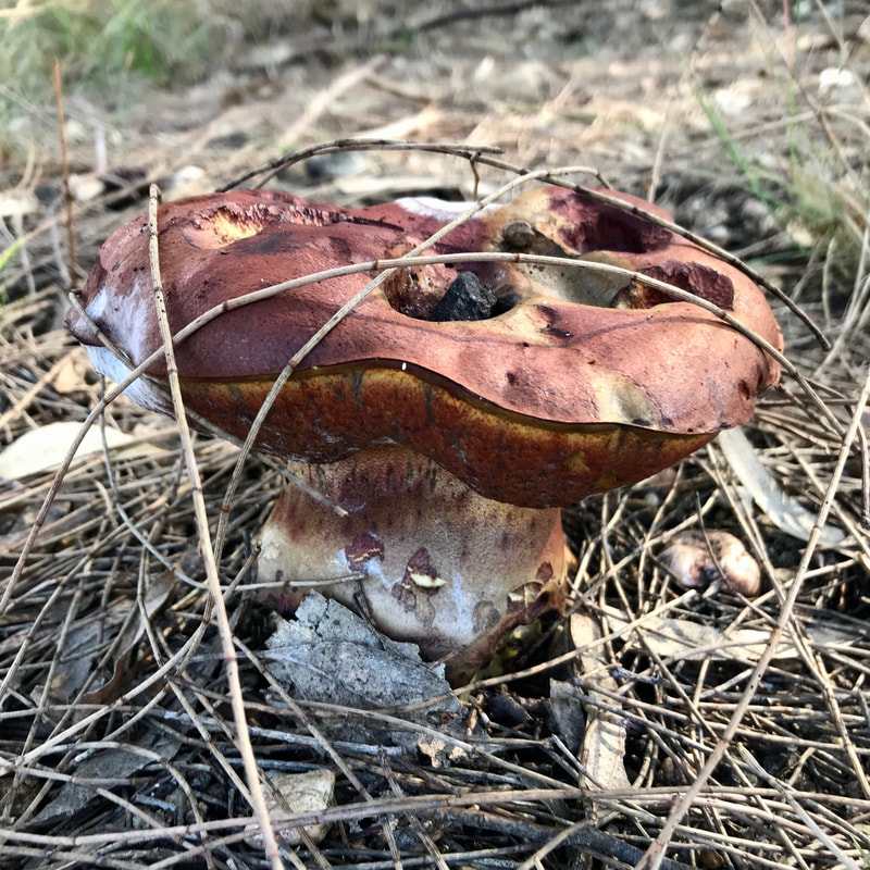
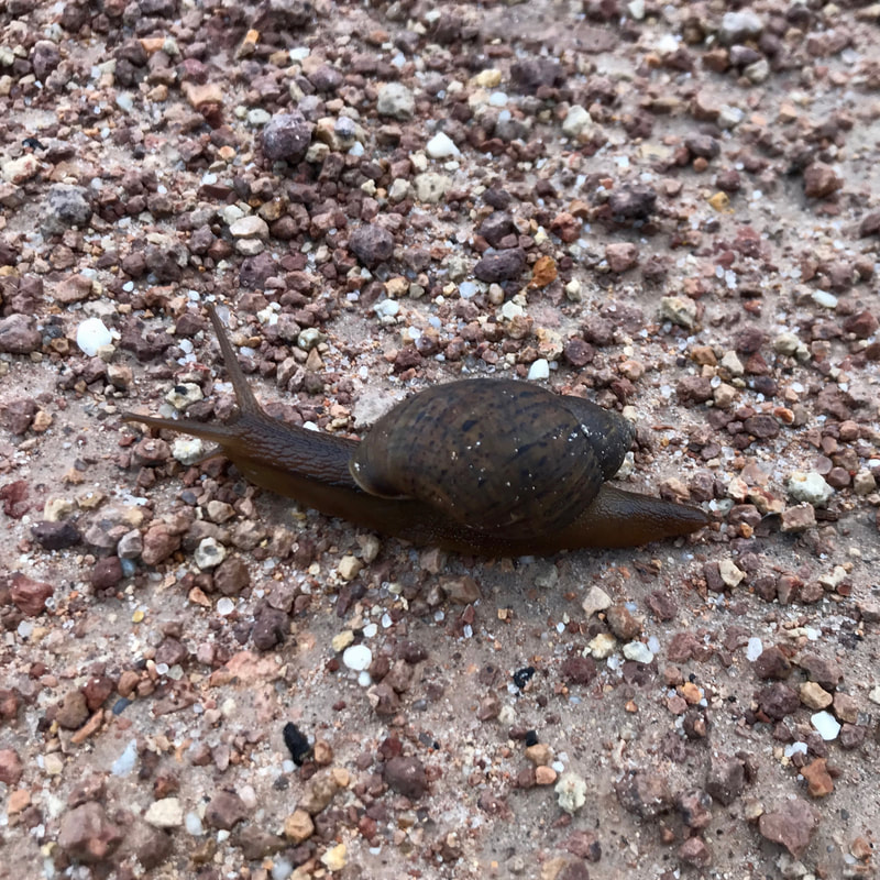
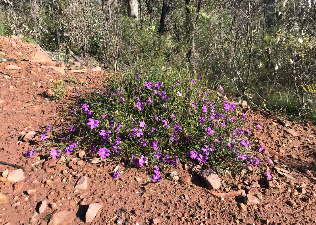
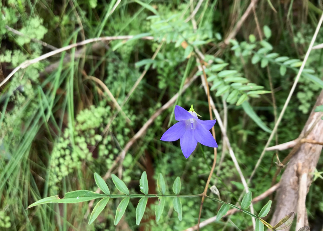
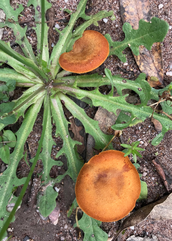
- Having done almost no research, the trail was unexpectedly green and vegetated. Highlights were the huge number of mushrooms (I took so many photos, and probably slowed us down by about half an hour in total!), lunch by the lake.
- Of course, the monumental structures of the power station at the Yallourn end were probably the main point of visual interest. They really are spectacular, whatever you think of what they're actually doing (making dirty, unsustainable electricity).
- We had fun discussing the pronunciation of Moe. It's pronounced like "mow" (mow the grass) and "ee" (eek). MOWee. Not "Mo", as Google says. Not "Moet" or "Moway" - unless you're being amusingly posh.
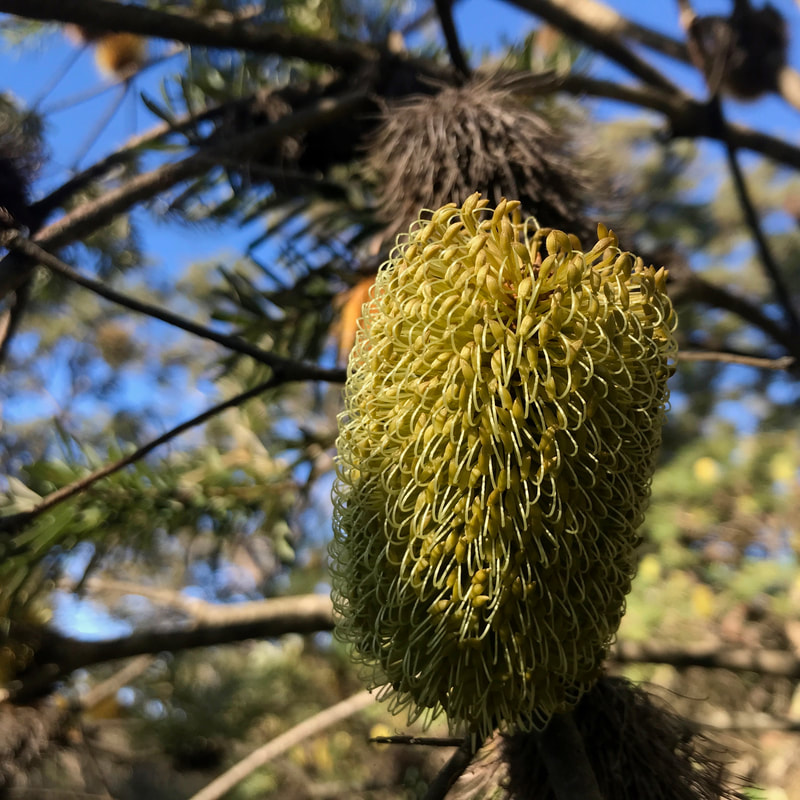
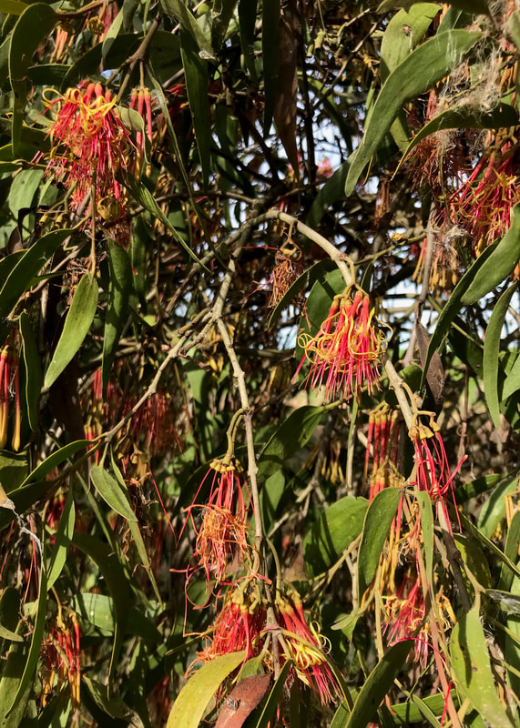
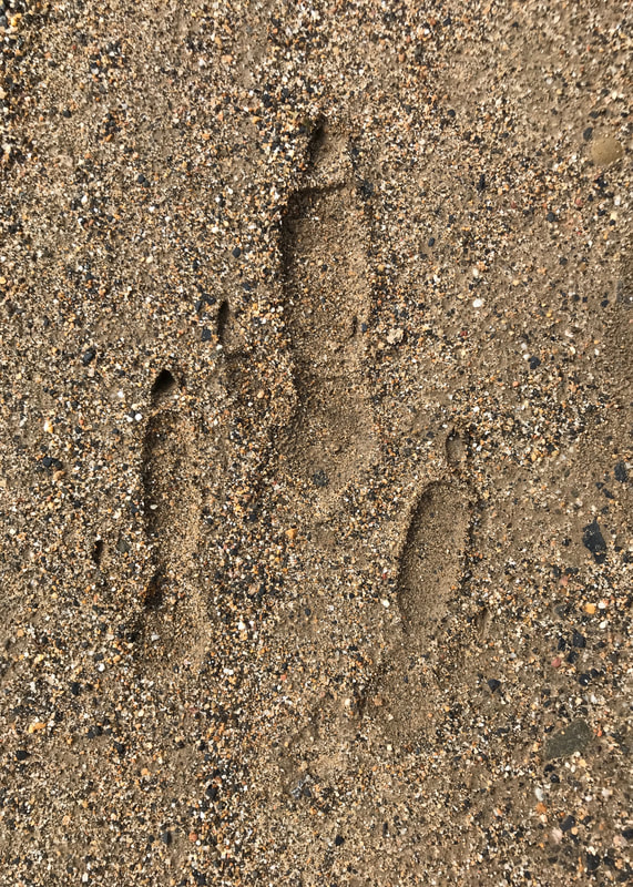
- G and D have been doing some bird spotting recently, so it was fun to talk to them about the birds we saw along the way and try to identify some of them. Occasionally we were even successful!
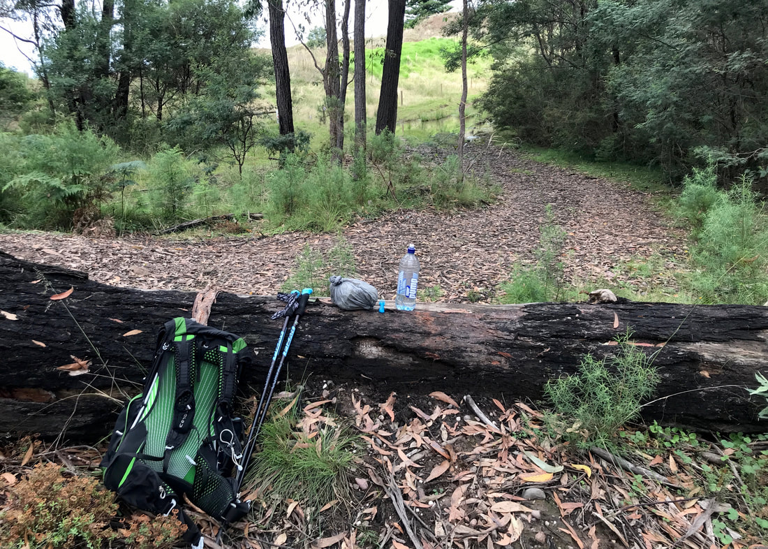
- Including the lake detour, we walked a hair less than 16km. I carried a fairly full bag (my usual at the moment - a bit over 10kg), and my shoulders and back and neck were feeling it by about 12km in. I was a bit achy that night and the next morning, but not too bad.
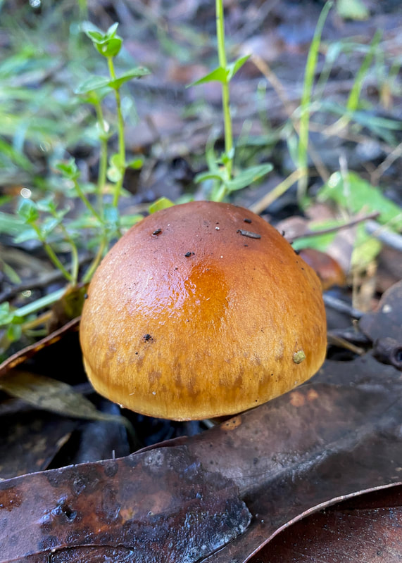
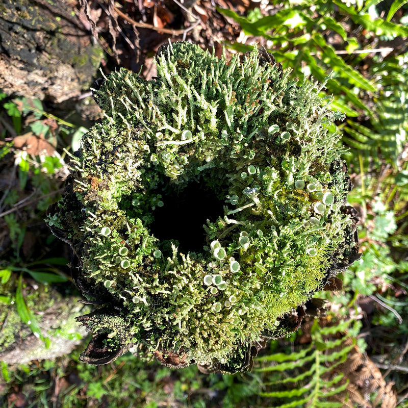
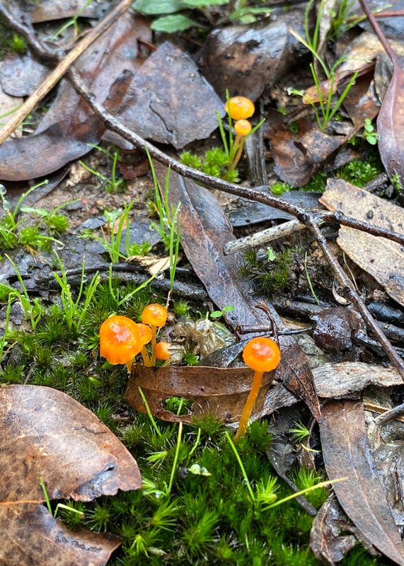
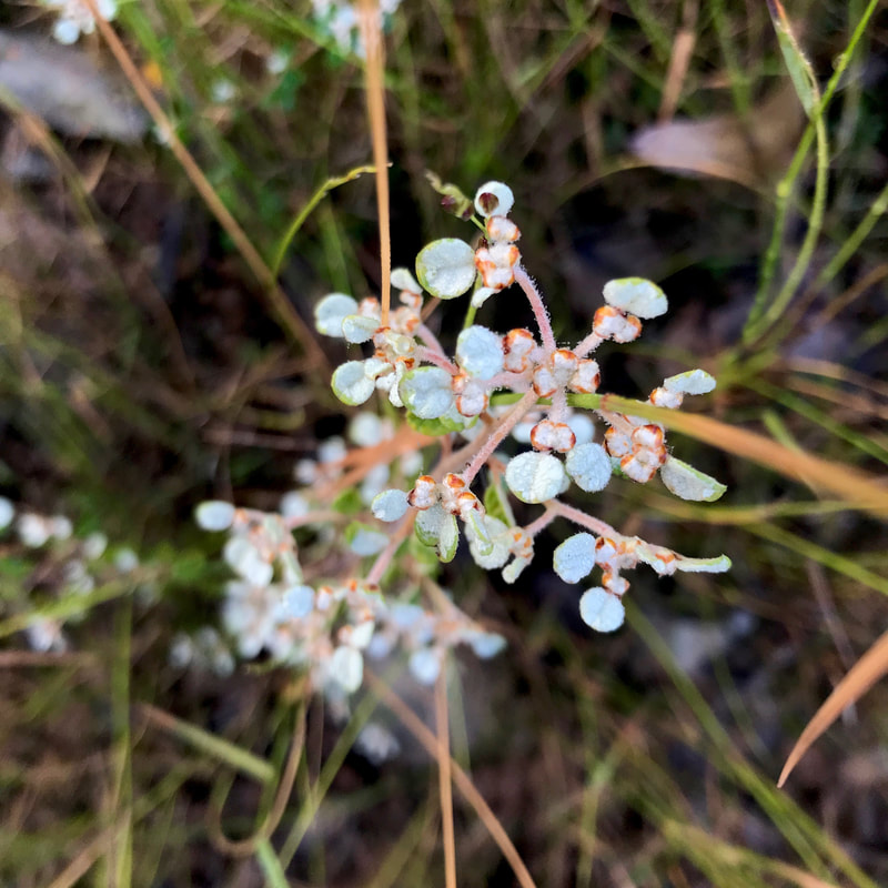
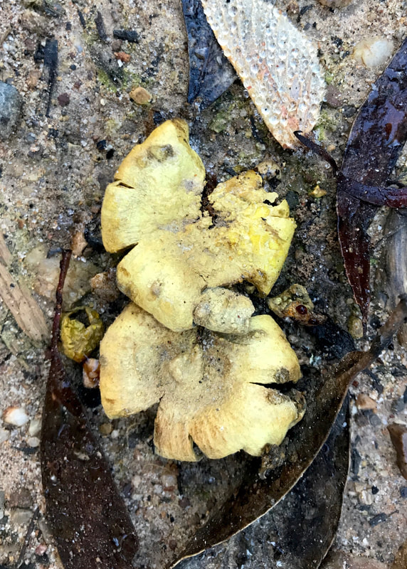
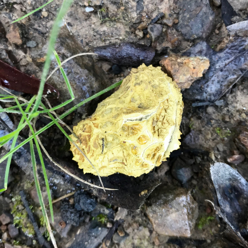
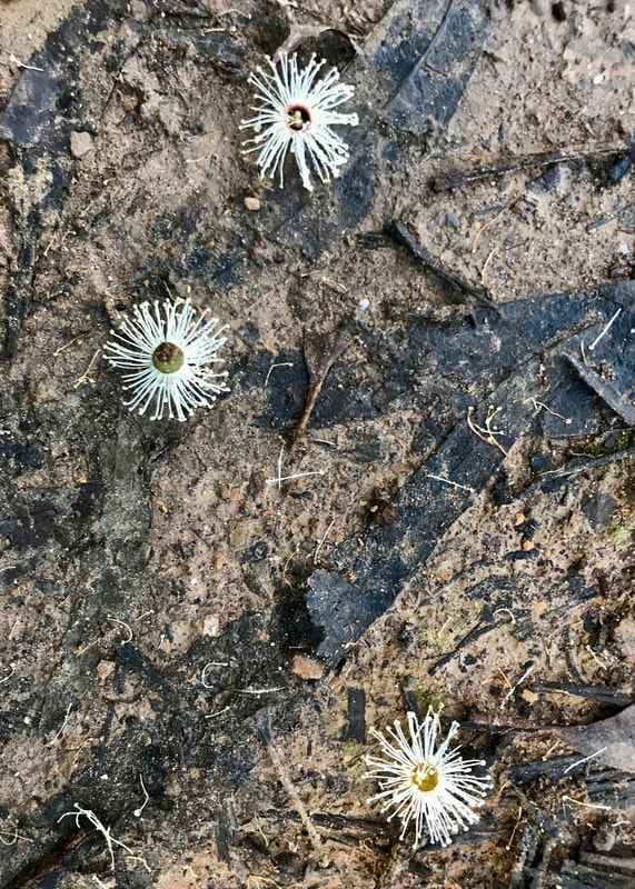
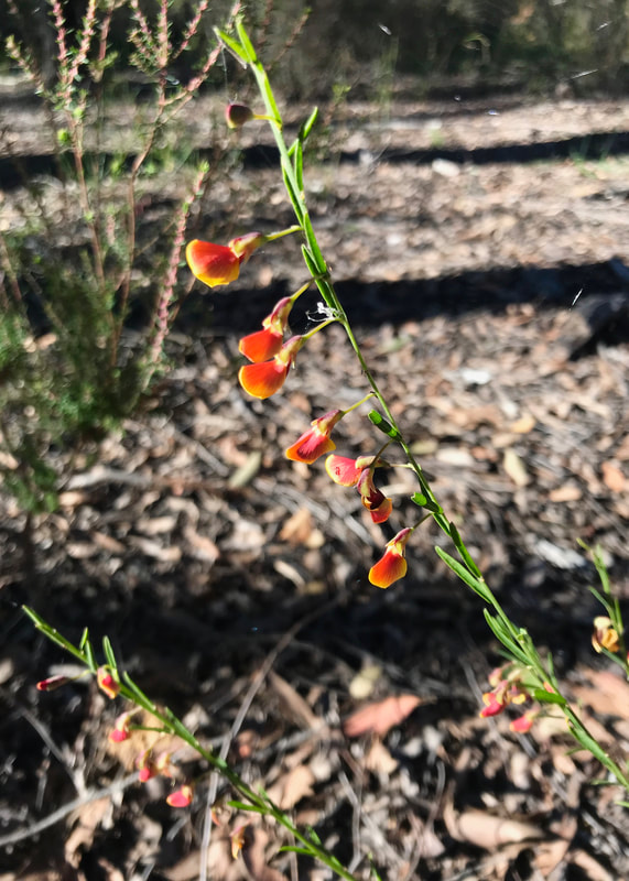
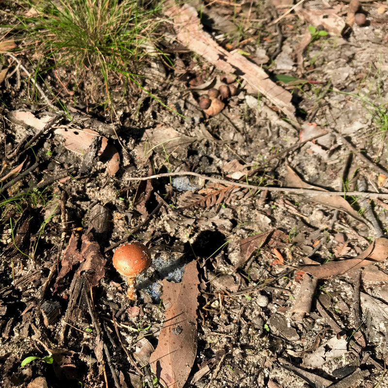
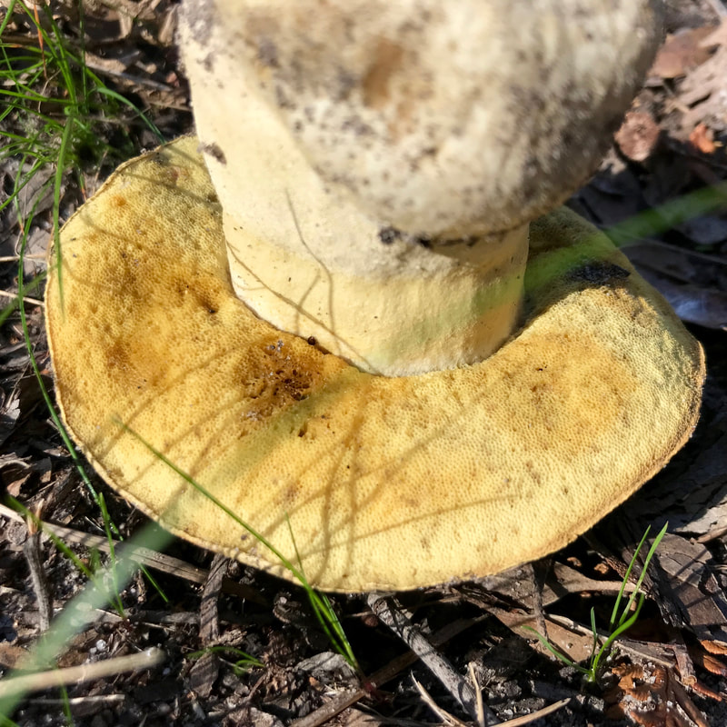
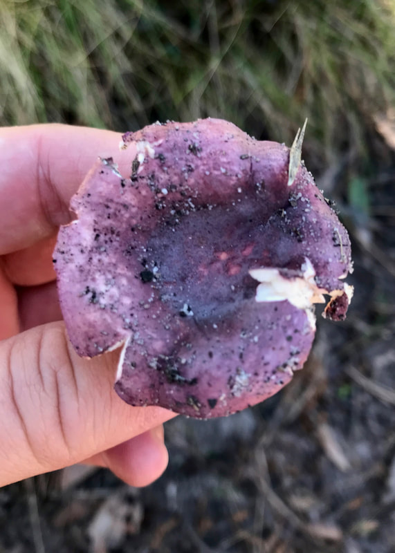
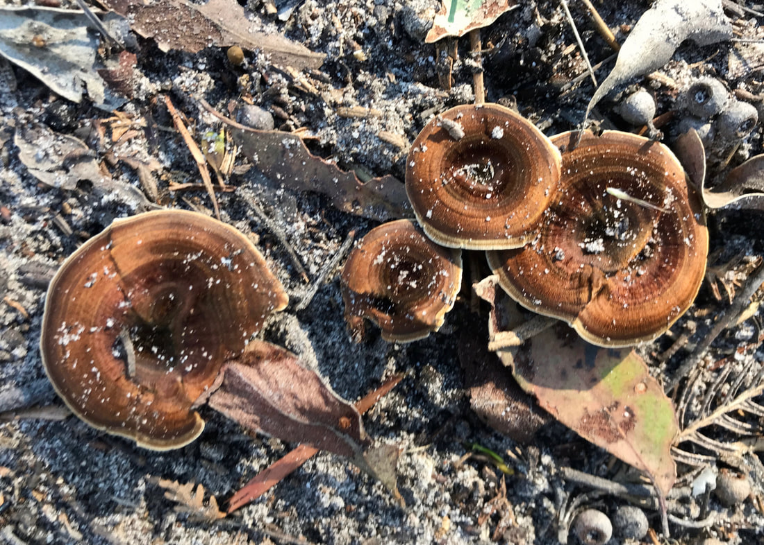
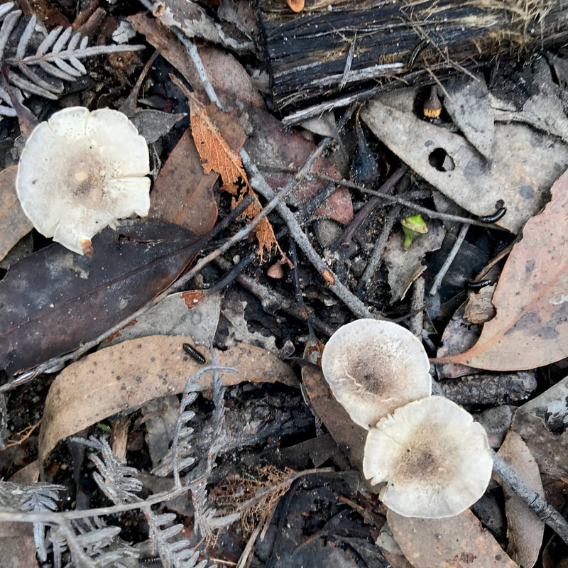
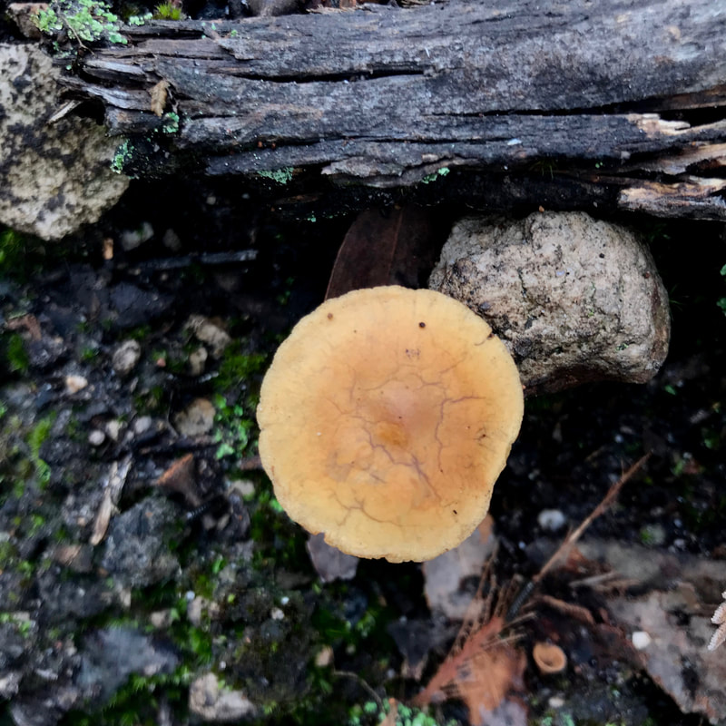
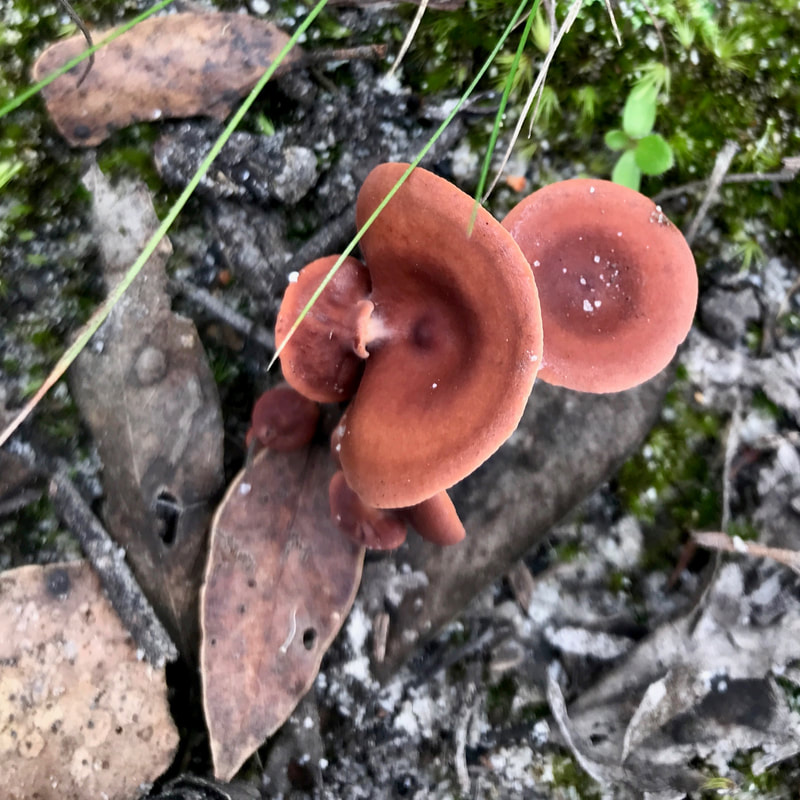
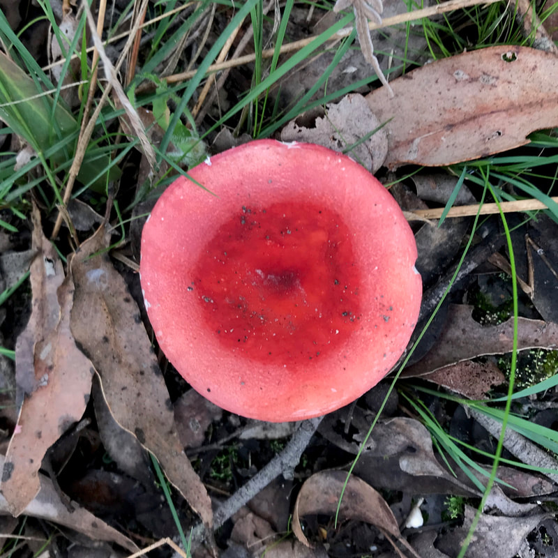
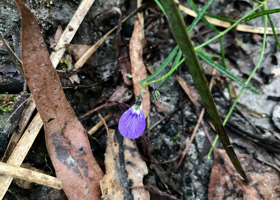
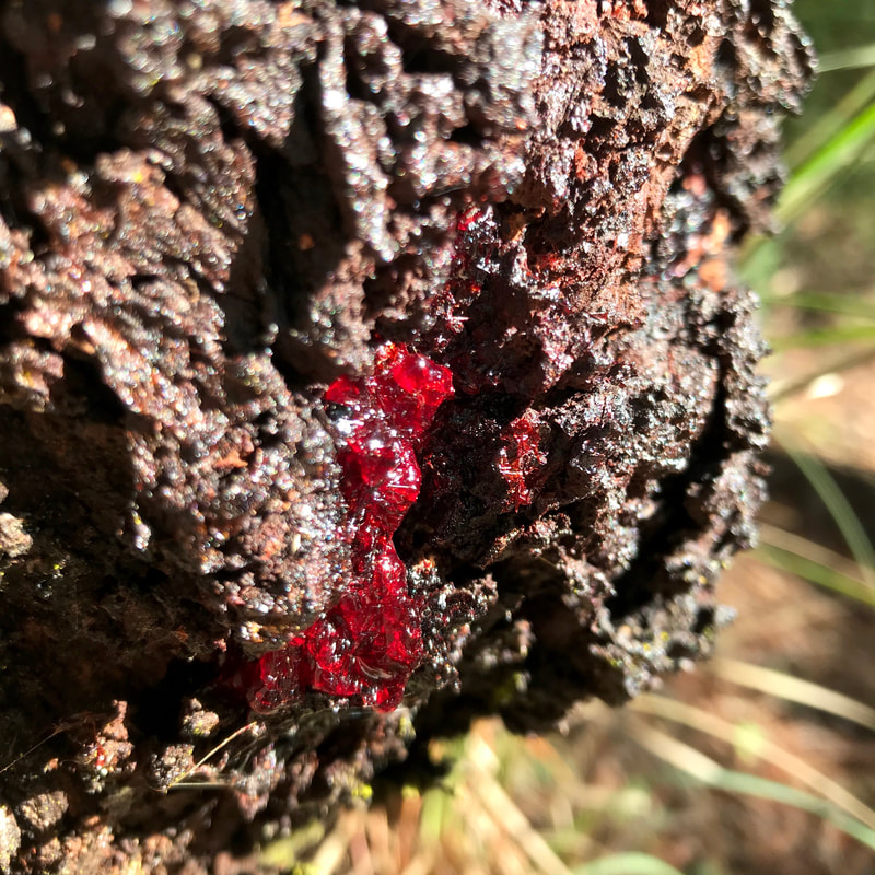
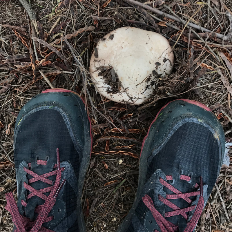
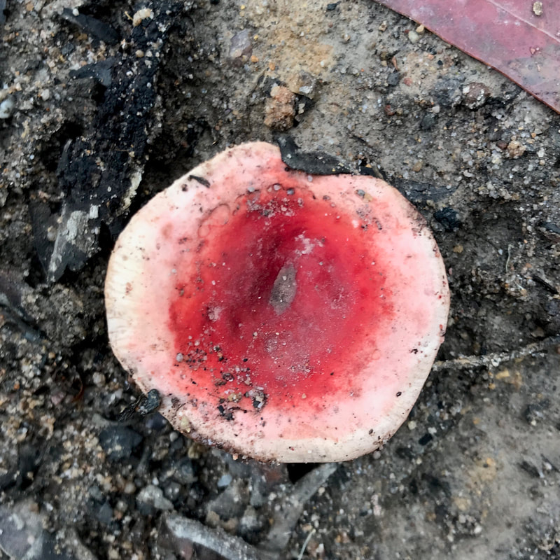
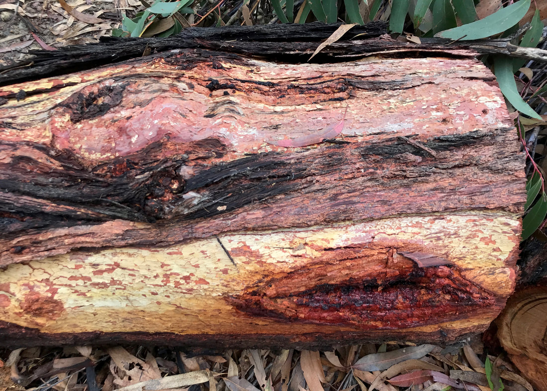
A mushroom interlude
Here are a whole lot of fungi we saw on the Moe-Yallourn walk. This is not all of them, by any means!
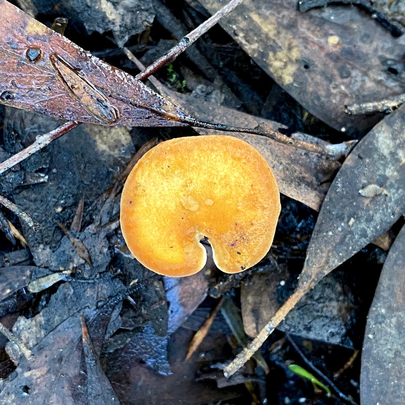
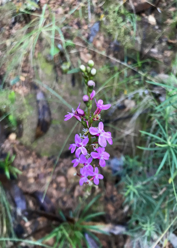
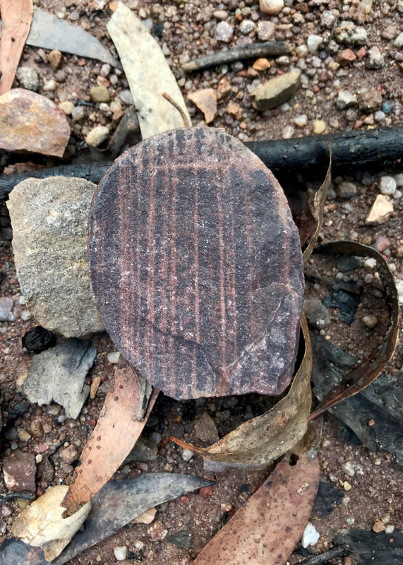
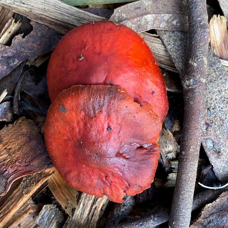 Red | 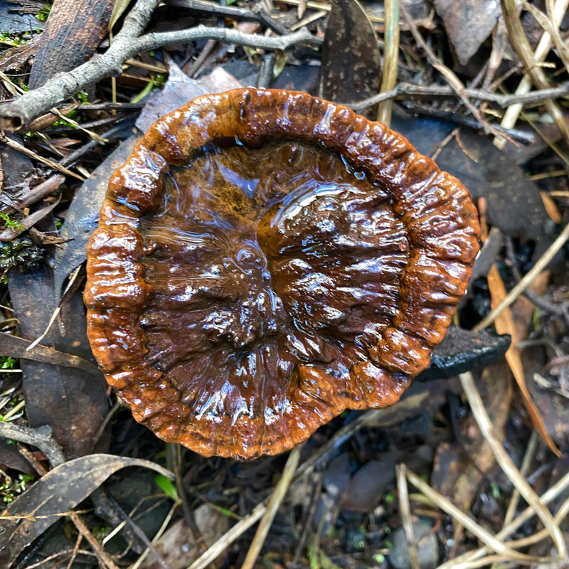 Crinkly | 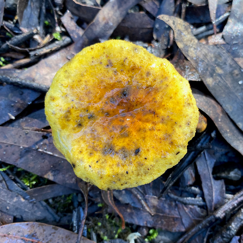 Yellow |
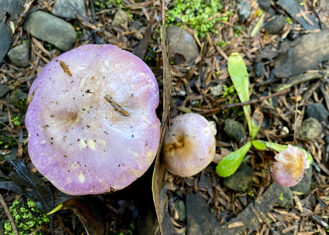 Purple | 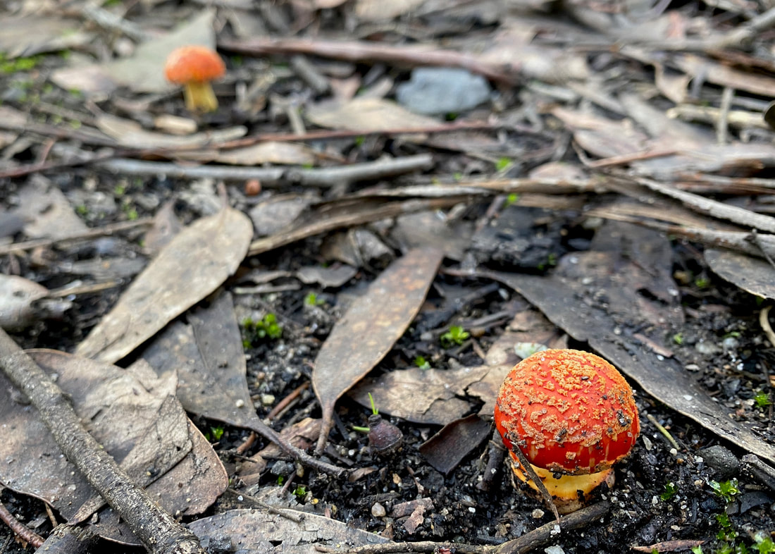 Too cute |
 Mini butt | 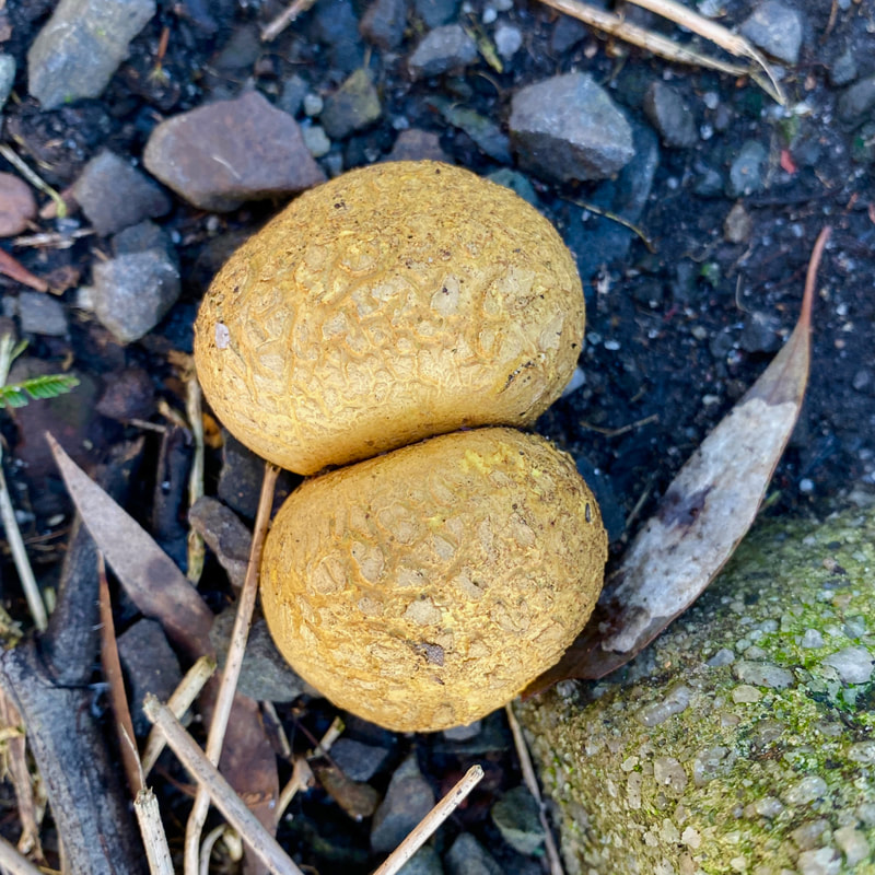 Bubble butt | 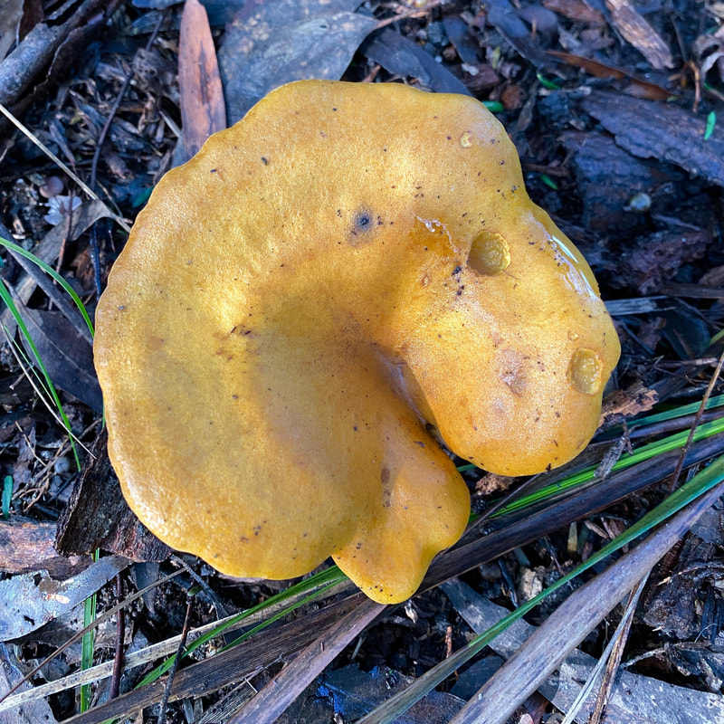 Flabby butt |
 Bun | 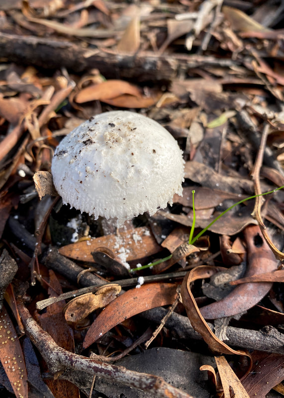 White spores | 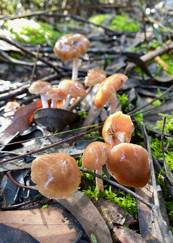 Shiny | 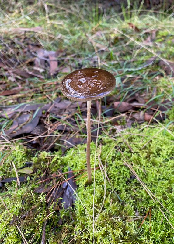 Tall |
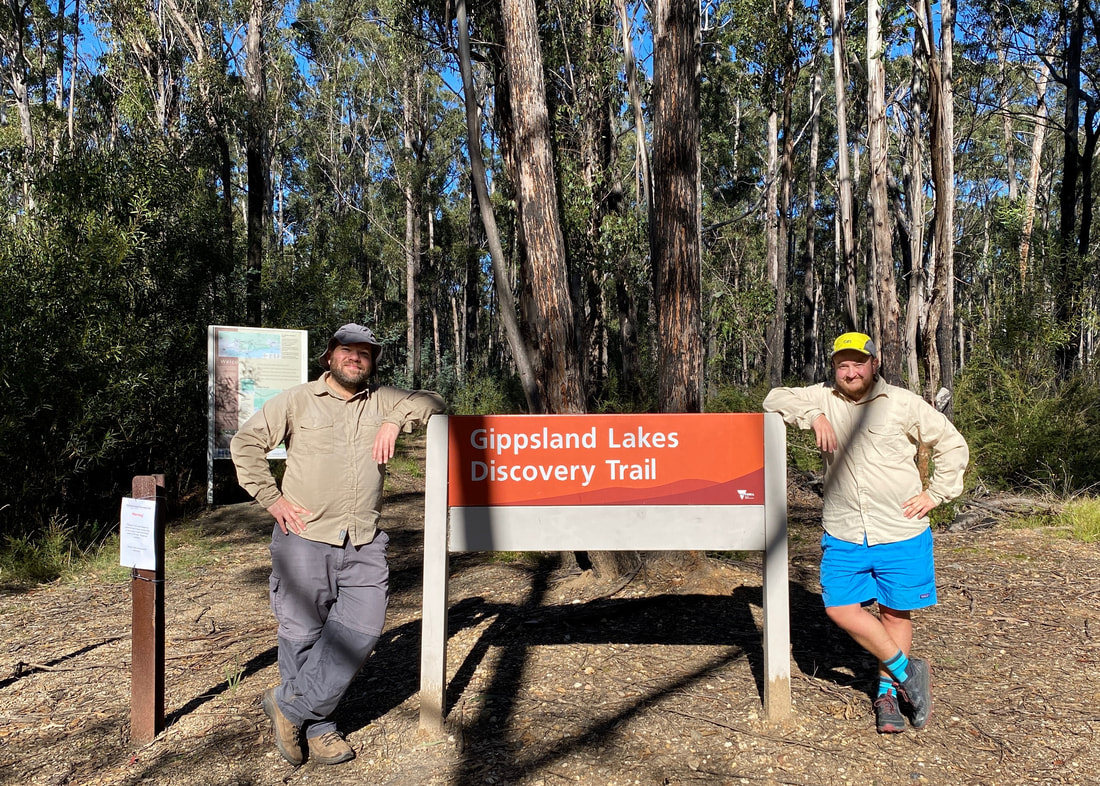
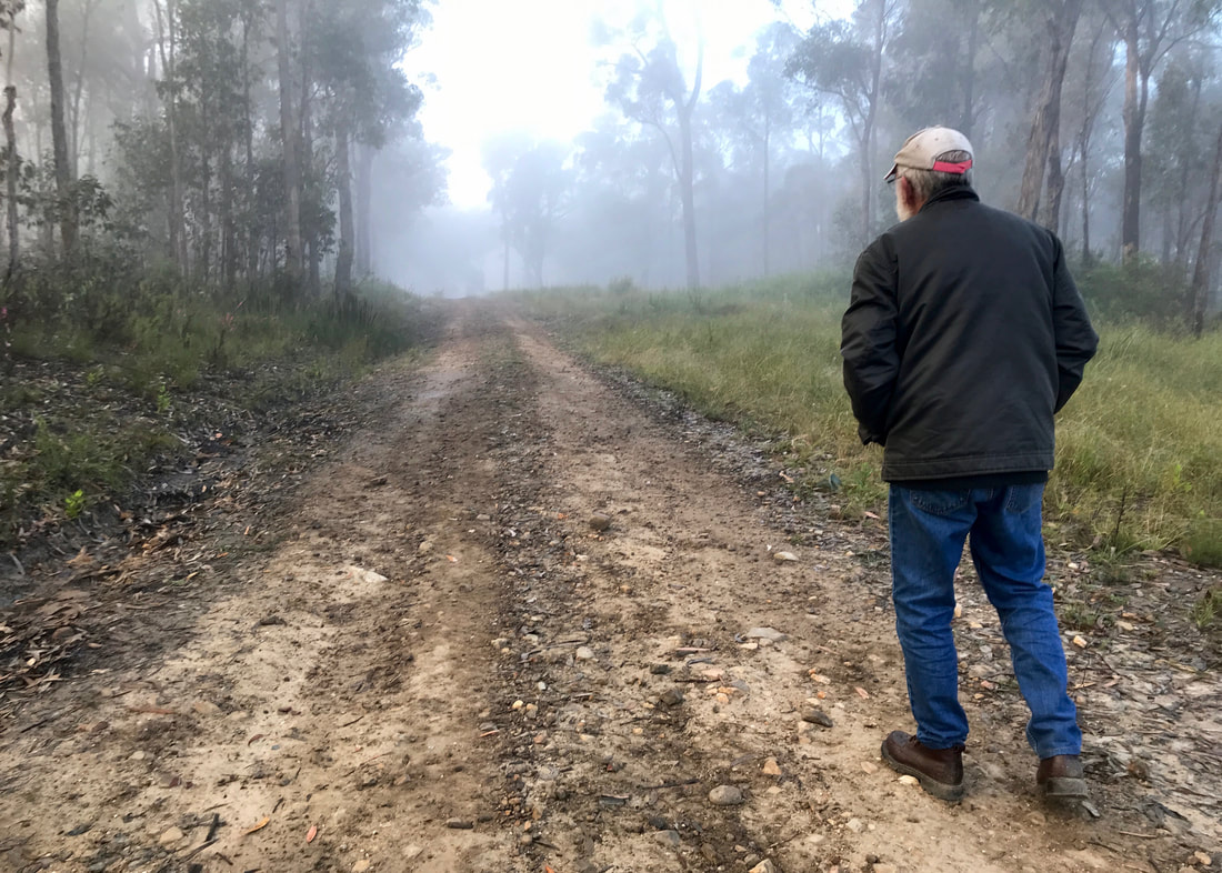
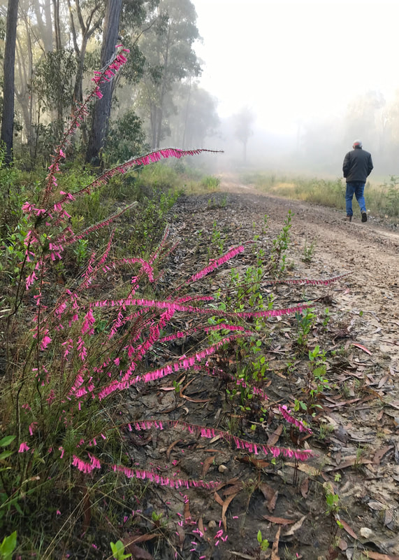
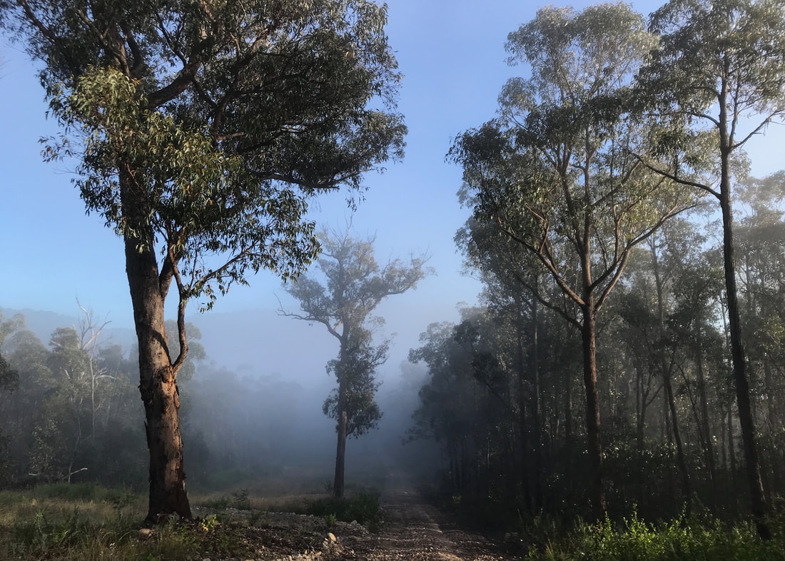
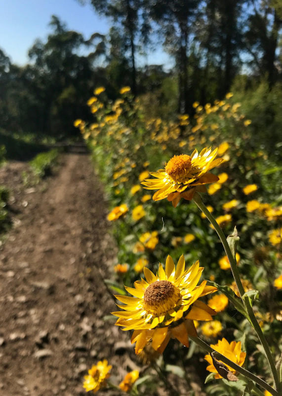
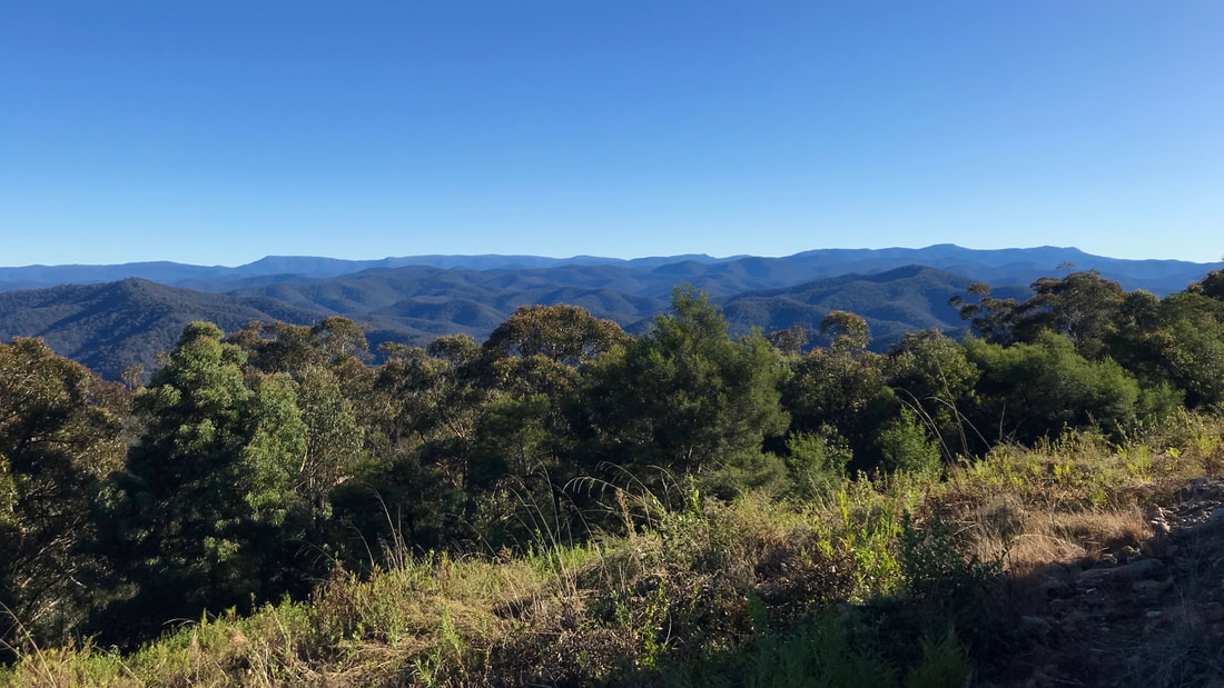
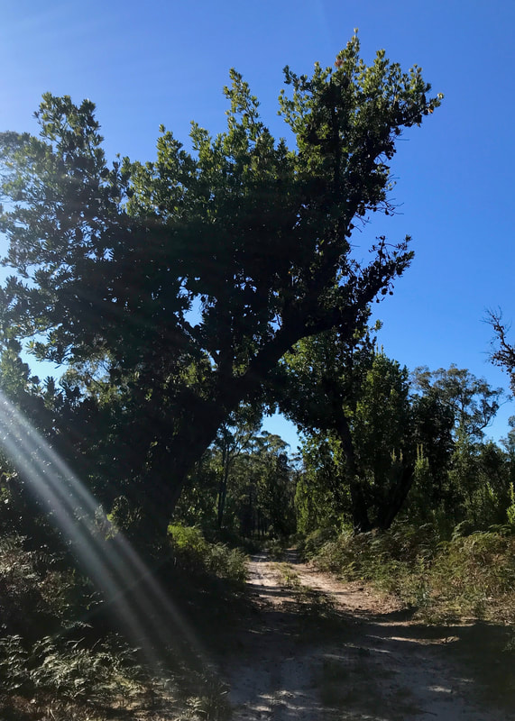
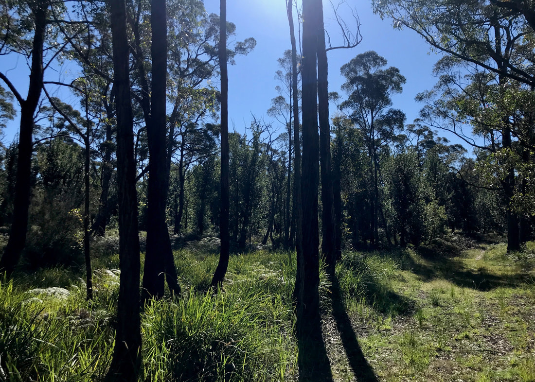
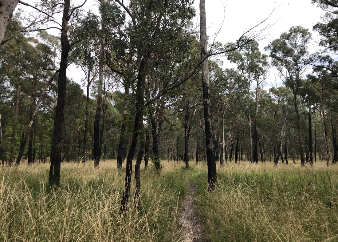
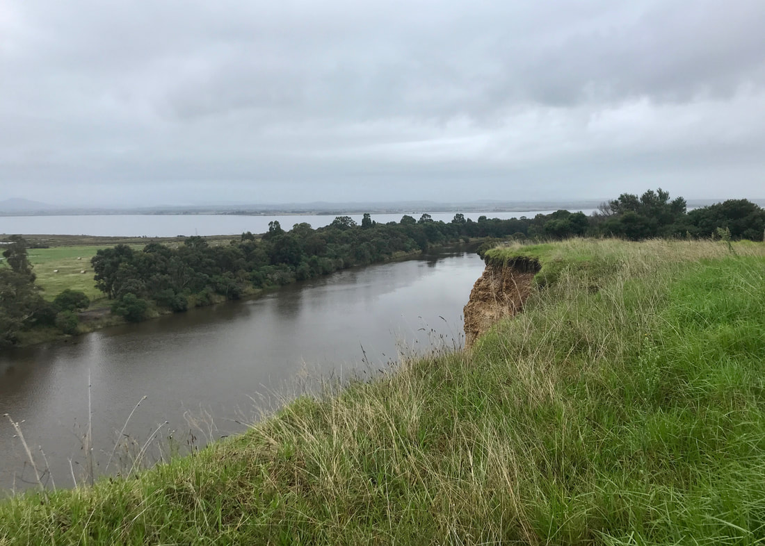
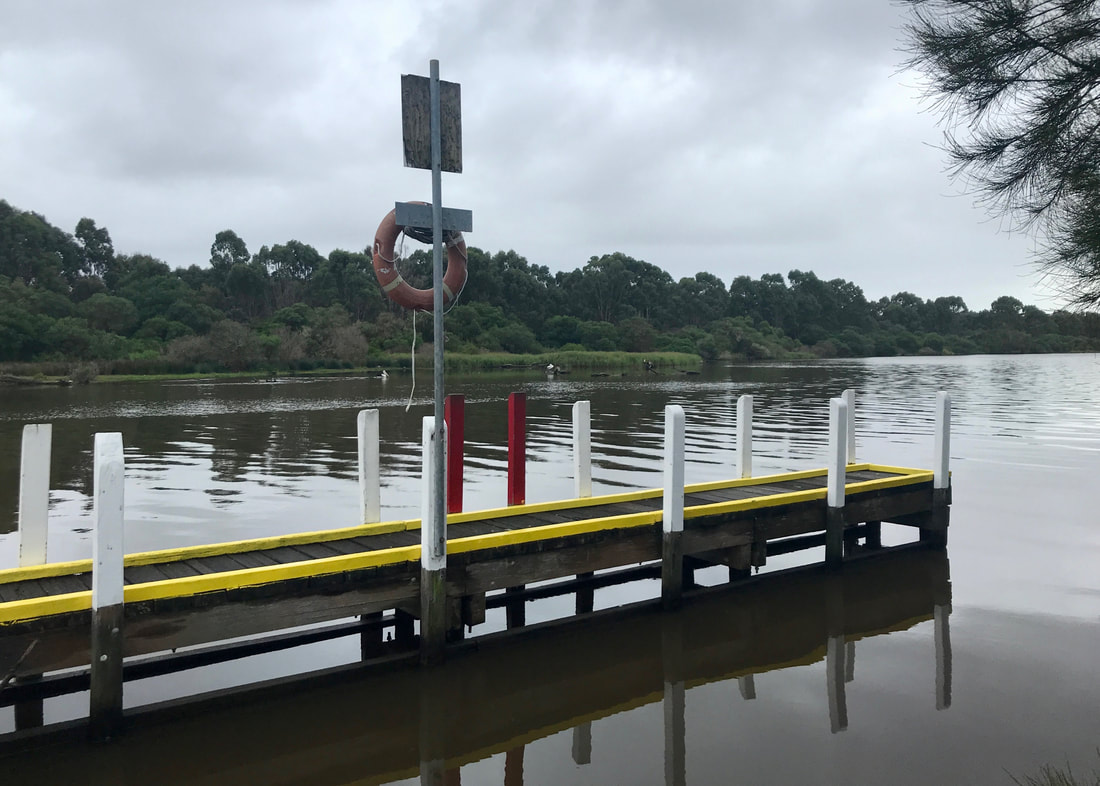
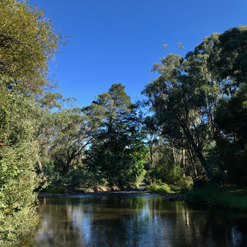
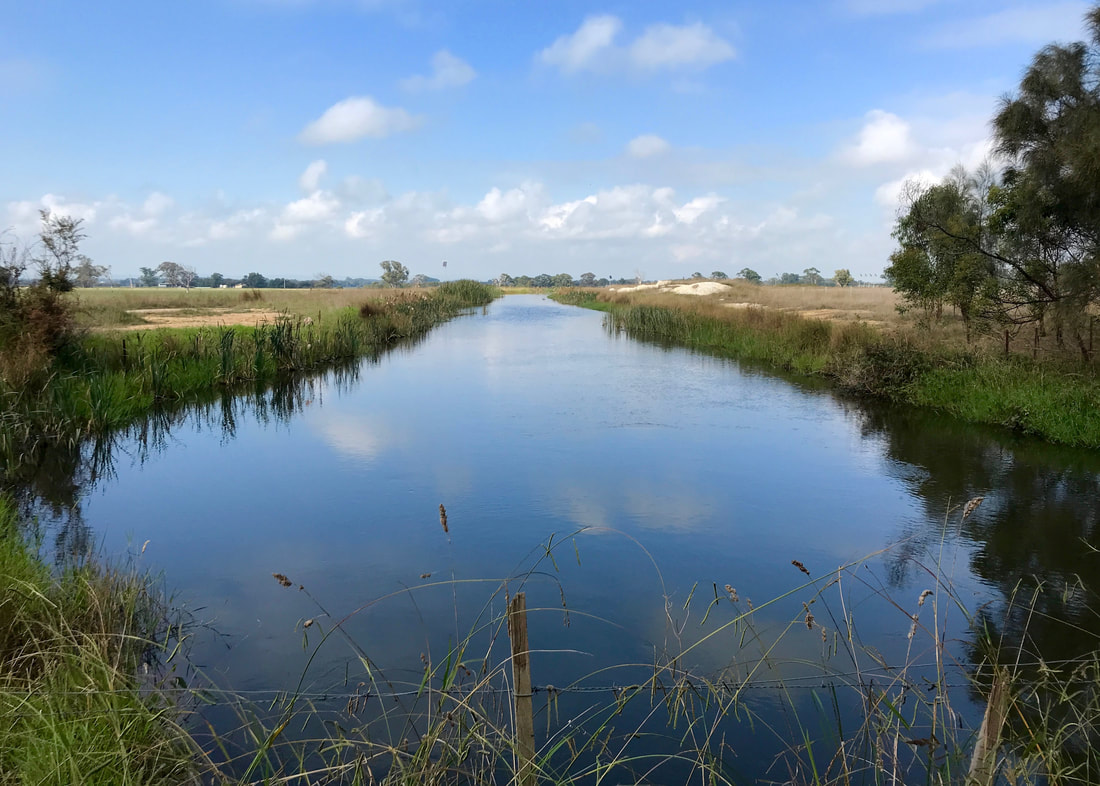
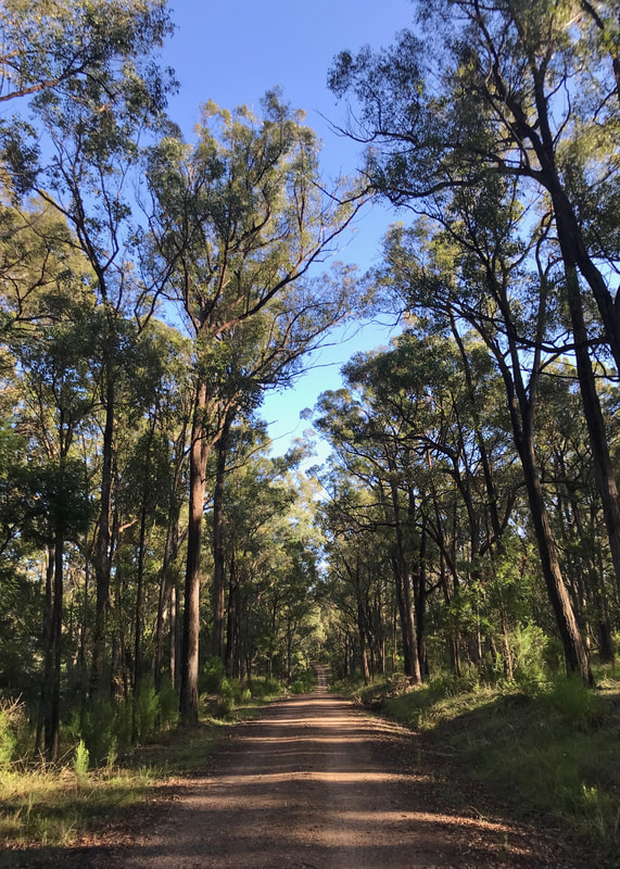
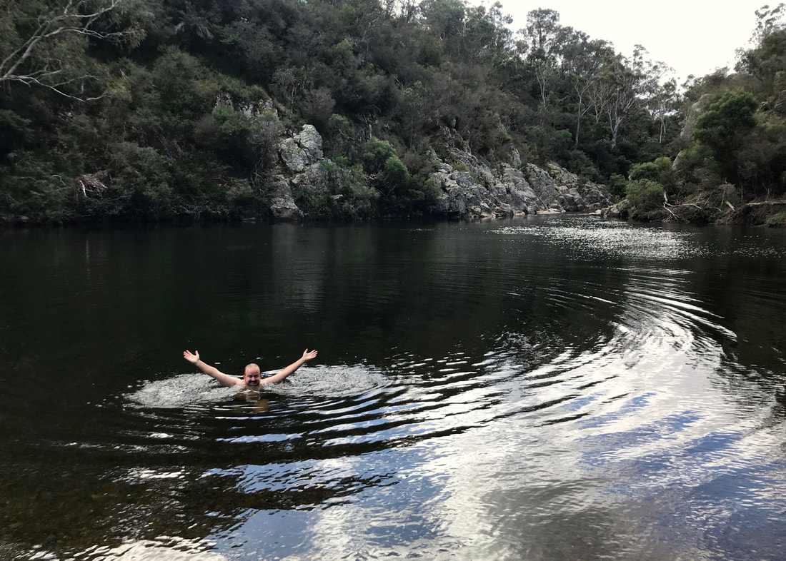
Gippsland Lakes Discovery Trail
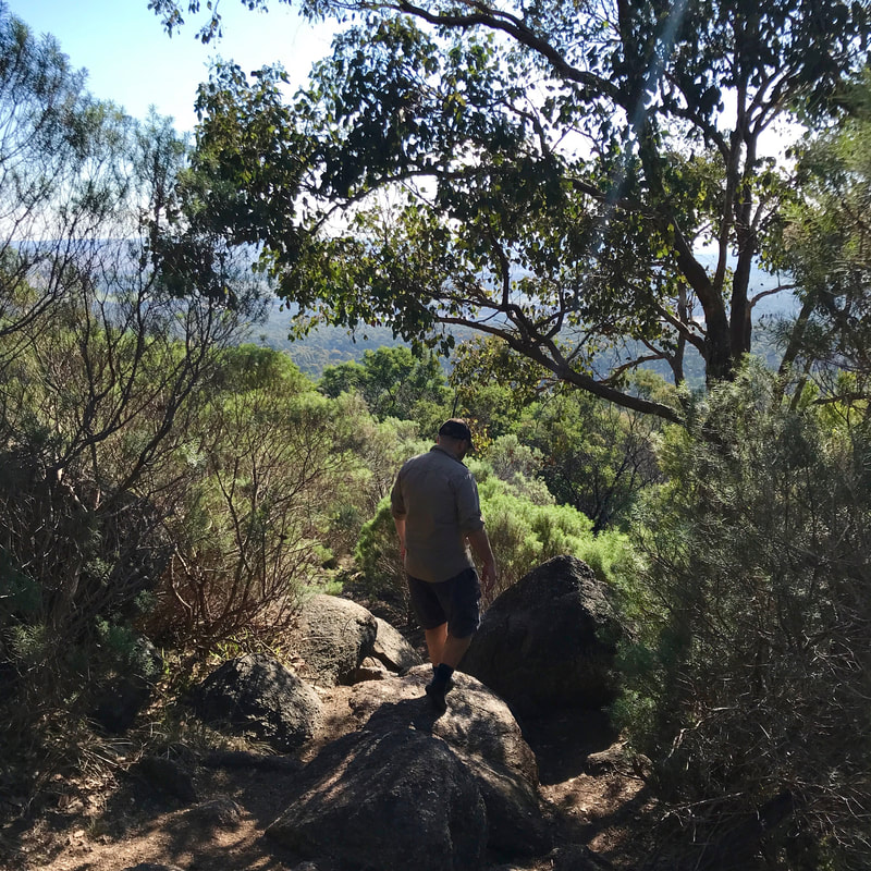
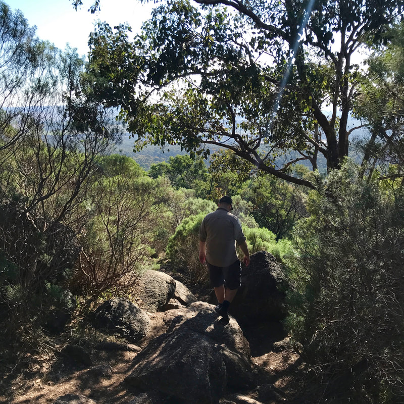
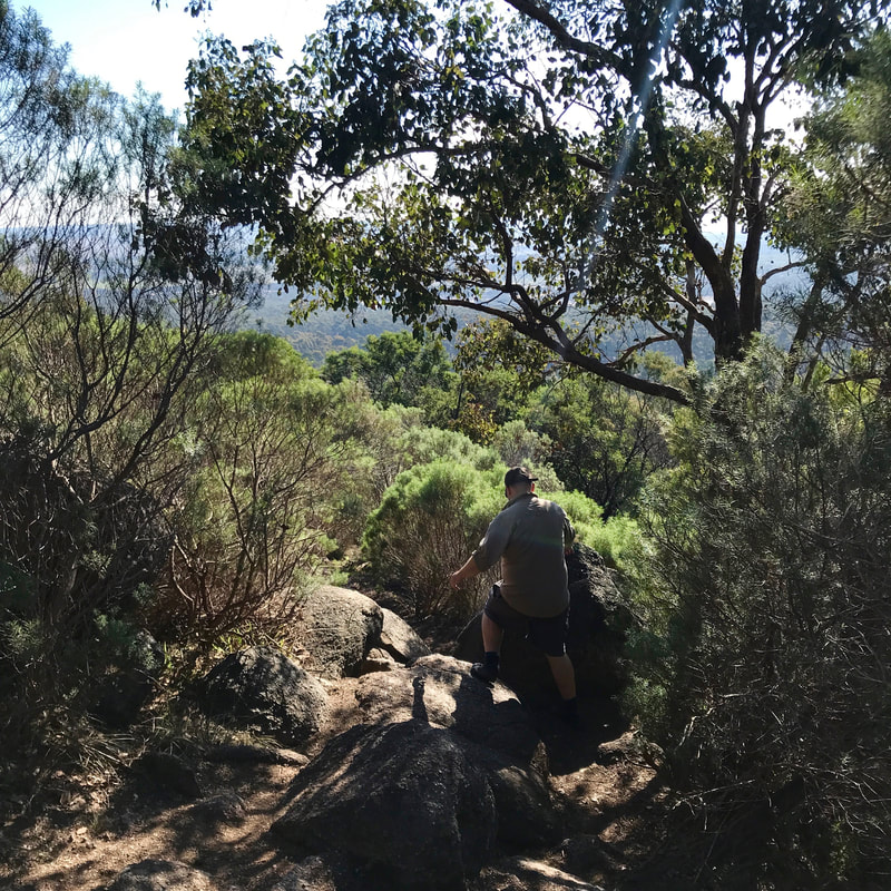
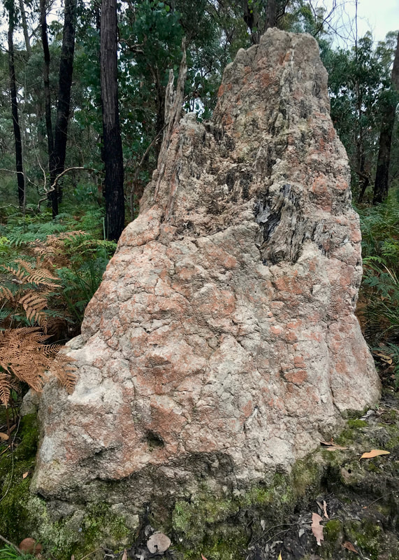
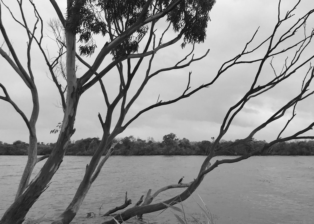
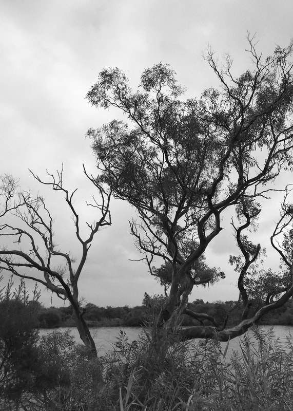
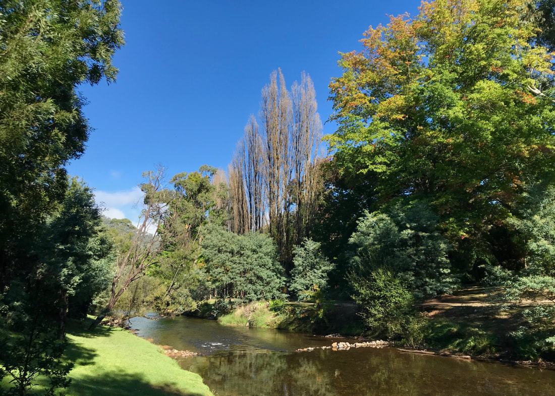
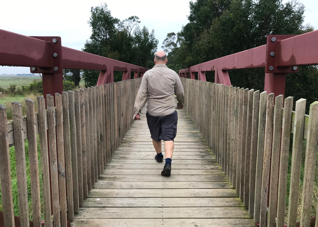
On Sunday, we walked most of the Gippsland Lakes Discovery Trail with our friend Fiona.
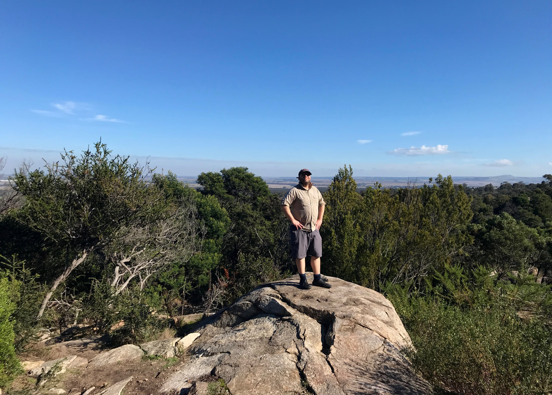
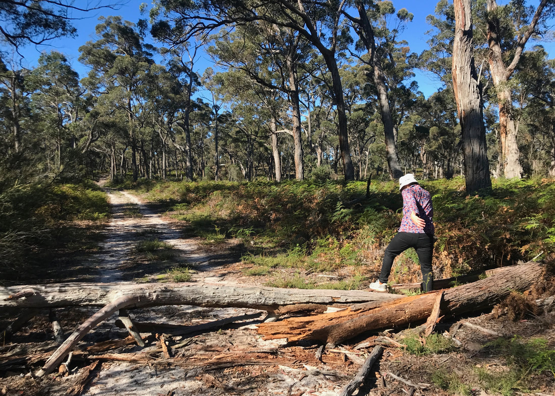
Me, very proud of myself for climbing onto this huge fallen log - and Fiona in the background.
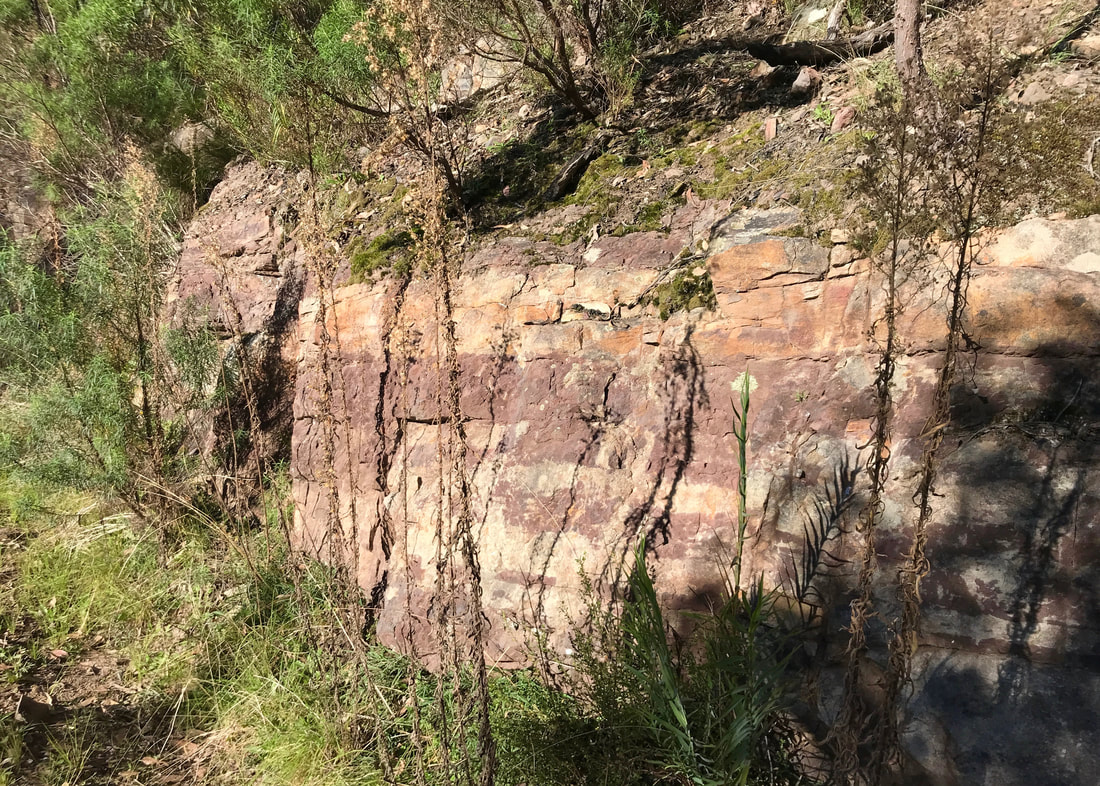
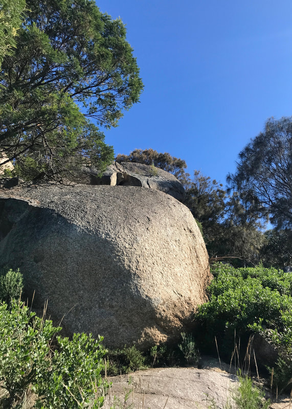
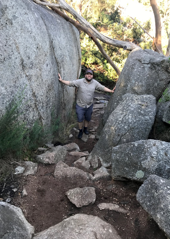
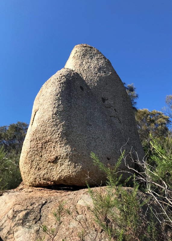
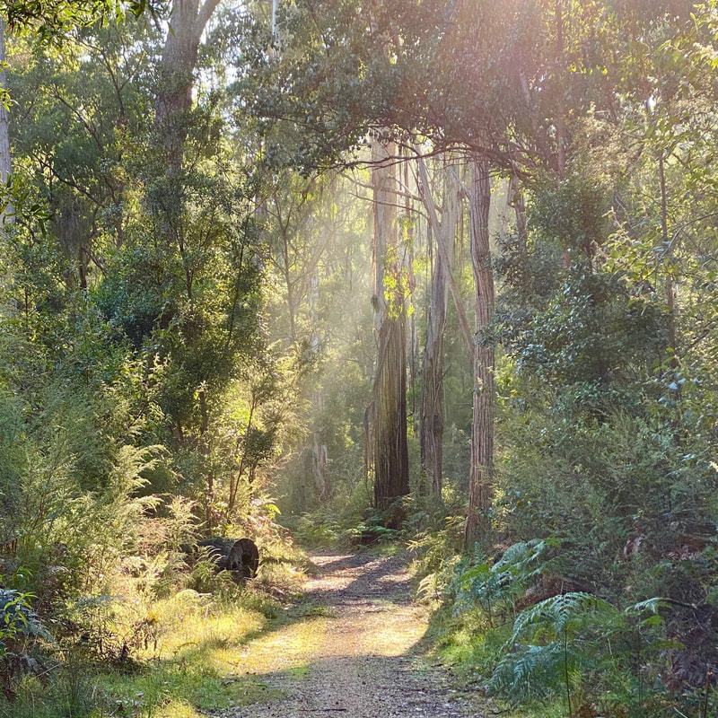 Beautiful scenes of misty light falling through the trees. | 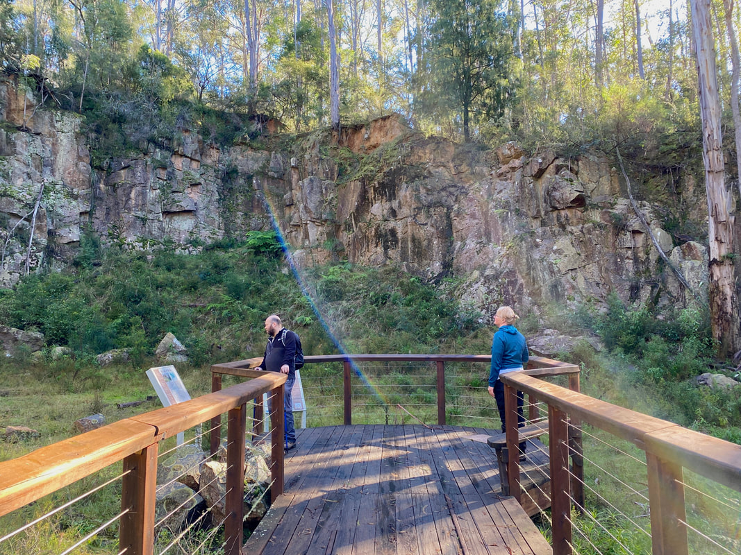 Dan and Fiona at the granite quarry. |
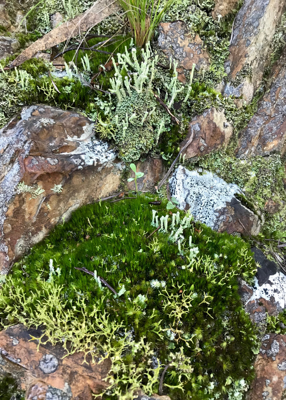
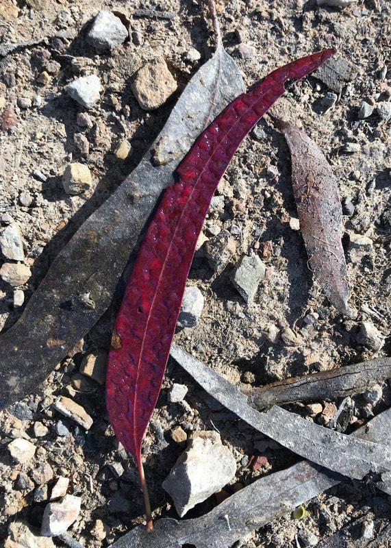
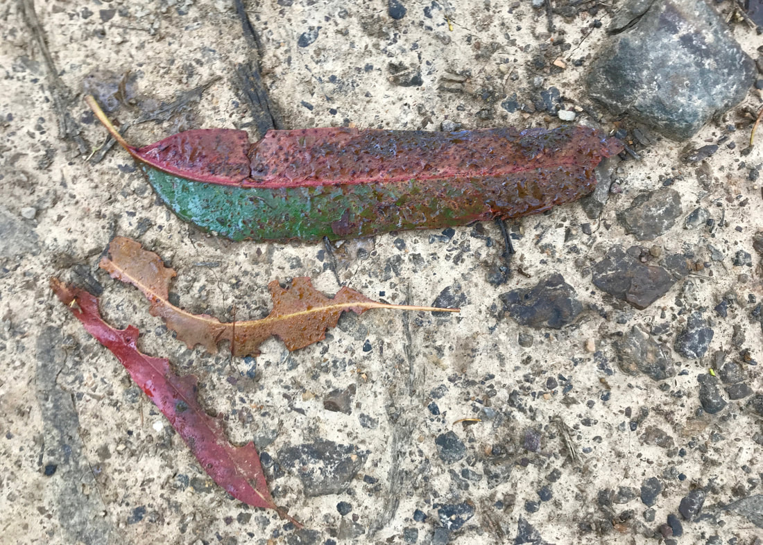
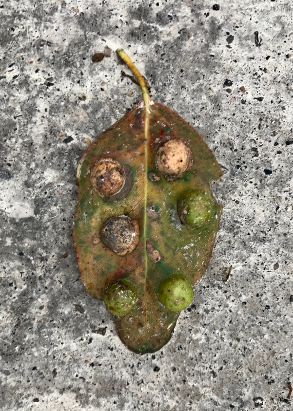
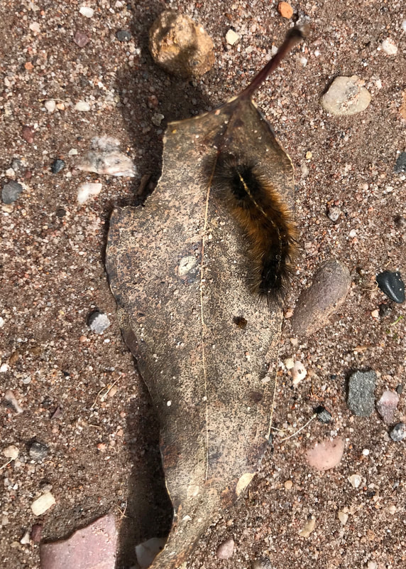
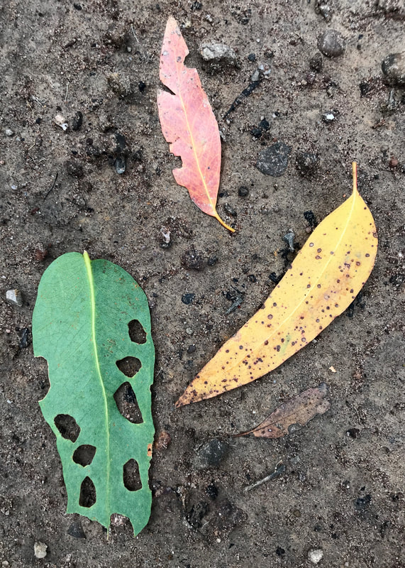
 Top of a dead tree fern, hollow stem covered in lichen. | 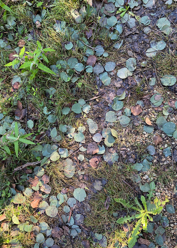 Box leaves fallen on the path, |
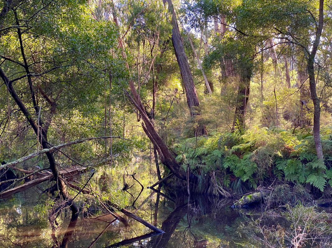
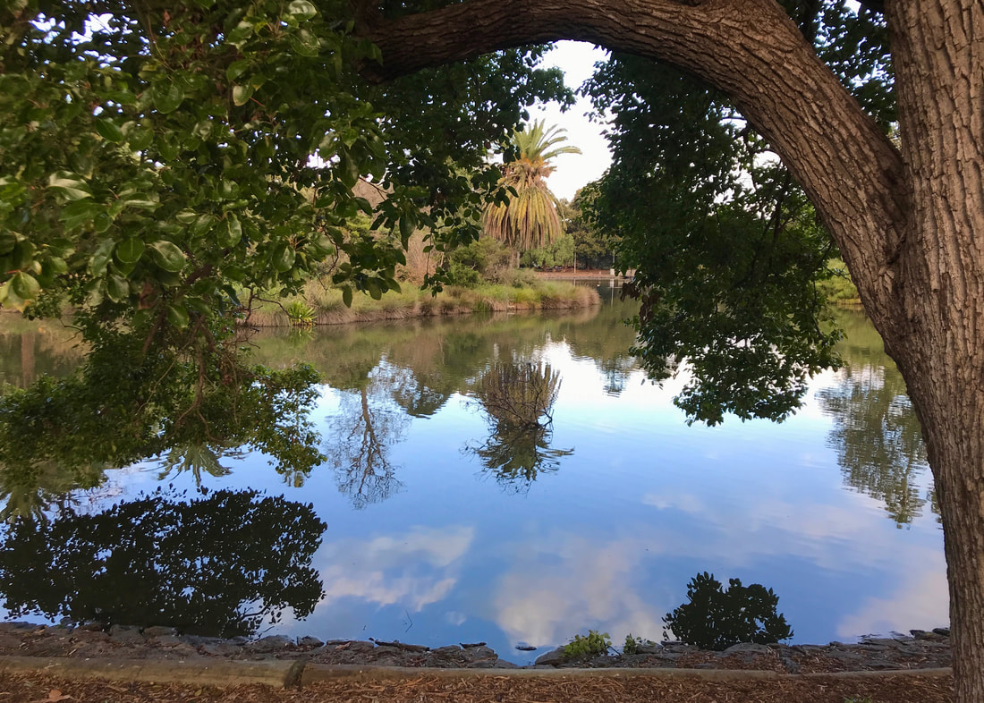
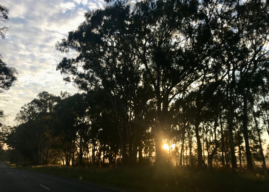
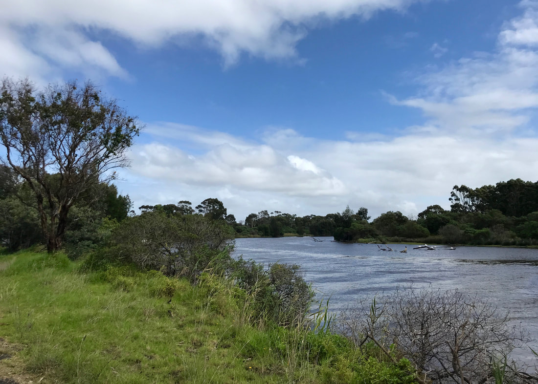
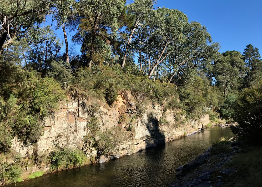
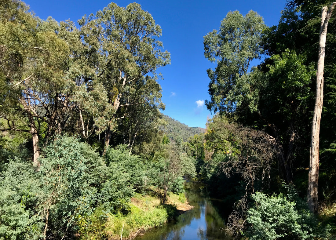
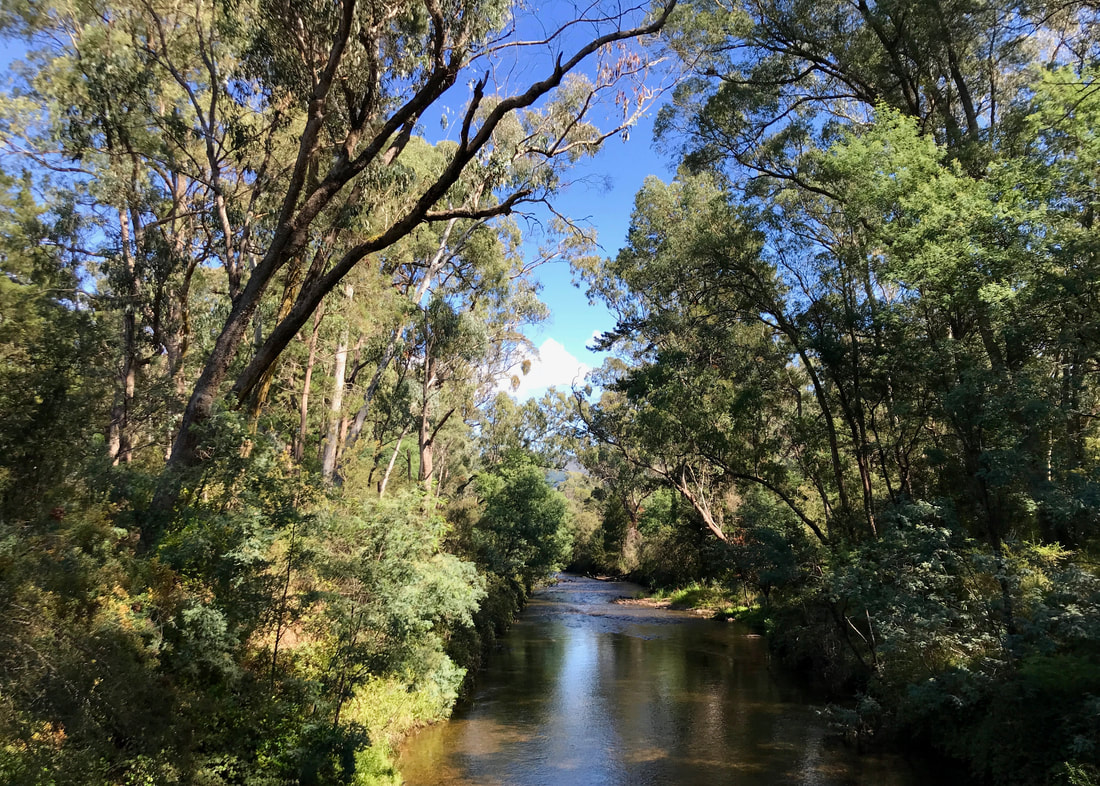
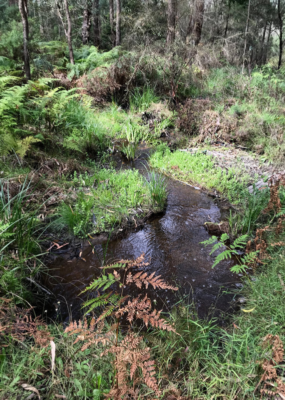
Looking along the Mississippi Creek, with golden sunlight bathing the bushland.
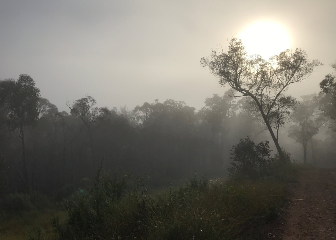
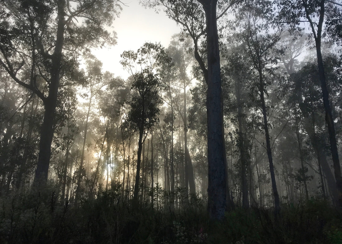
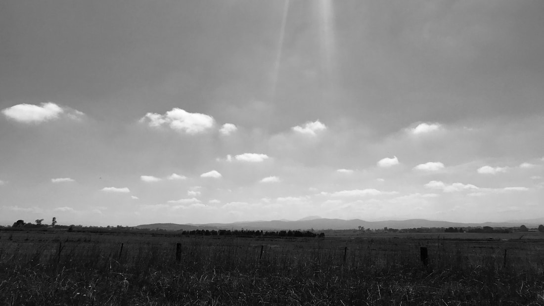
- We set off in the car fairly early and there was lots of mist around. It was absolutely beautiful on the plains and then through the forest when we arrived. We also saw a lyrebird as we pulled in!
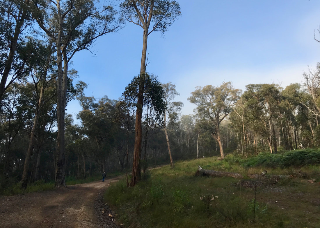
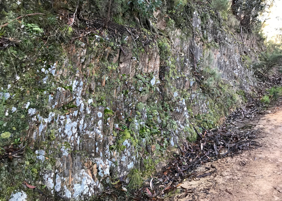
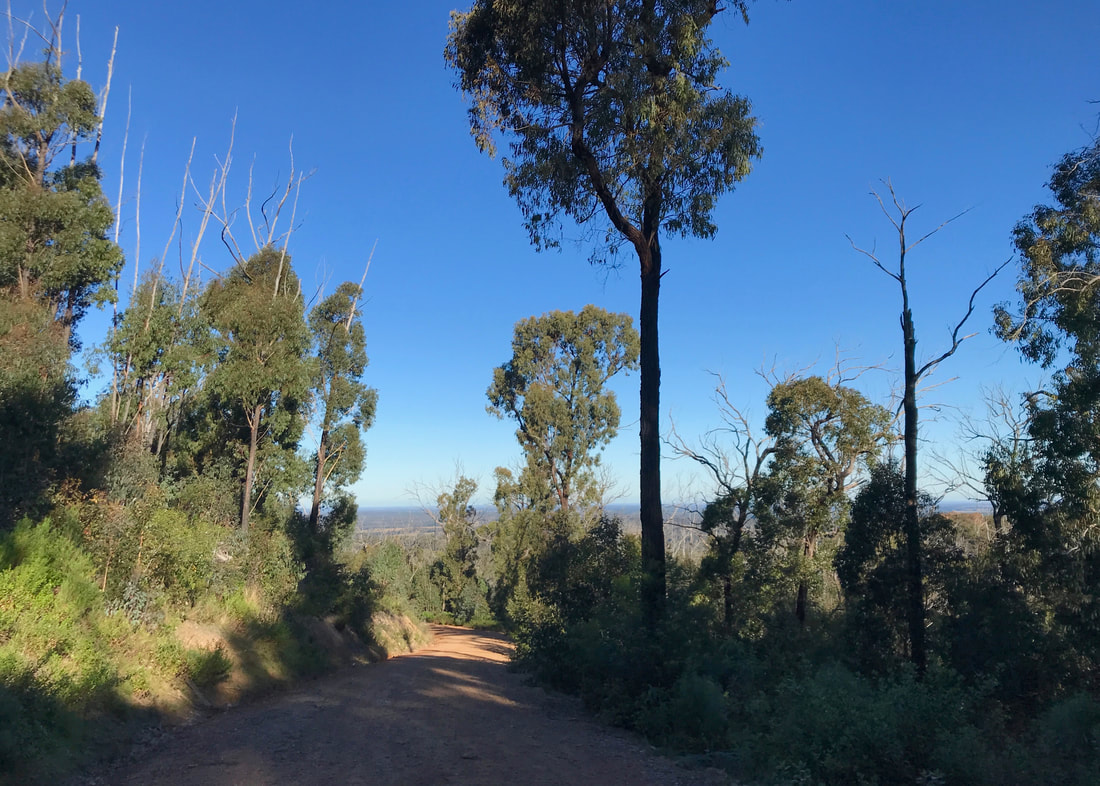
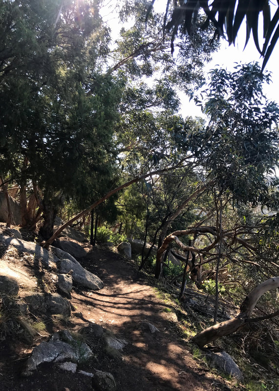
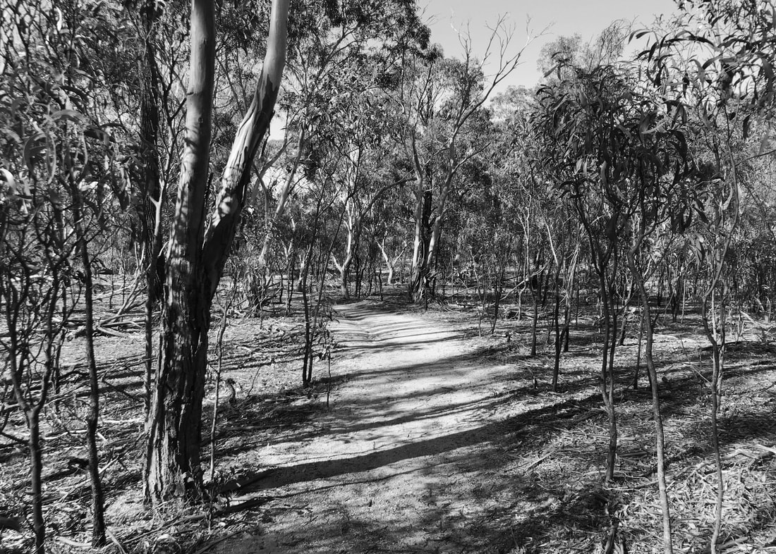
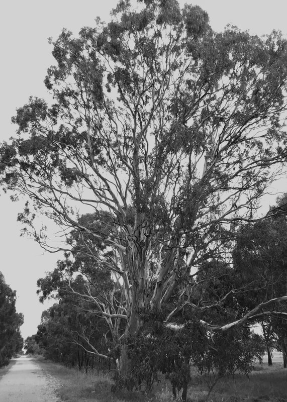
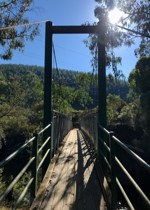
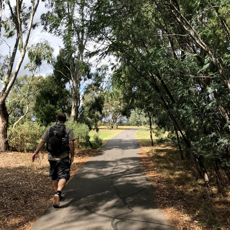
- The walk takes an old, fairly flat tramway beside a little creek to a quarry (about 6-7km). The next section undulates over small hills up to the rail trail.
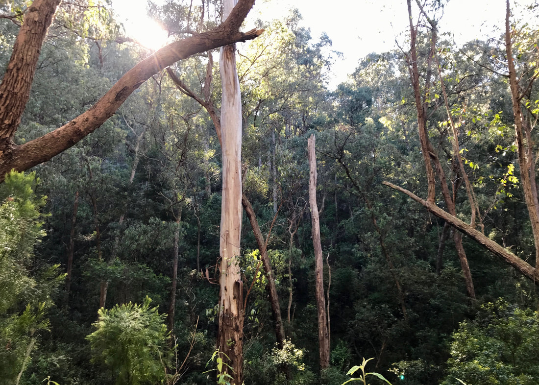
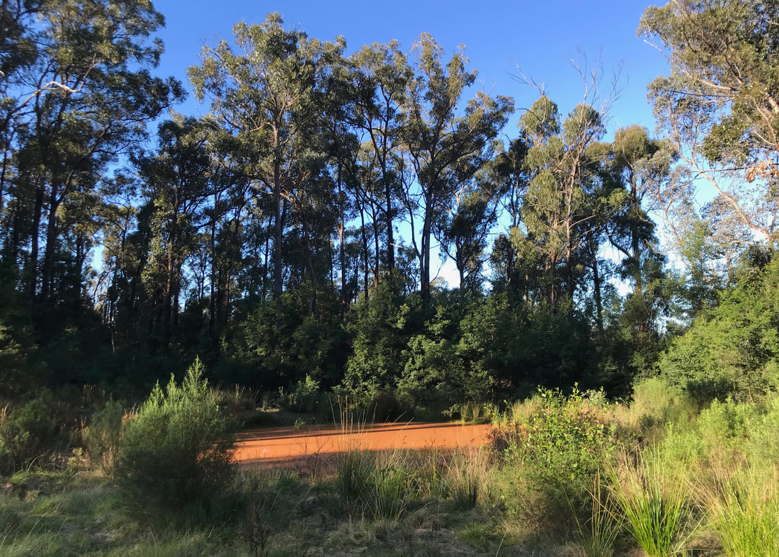
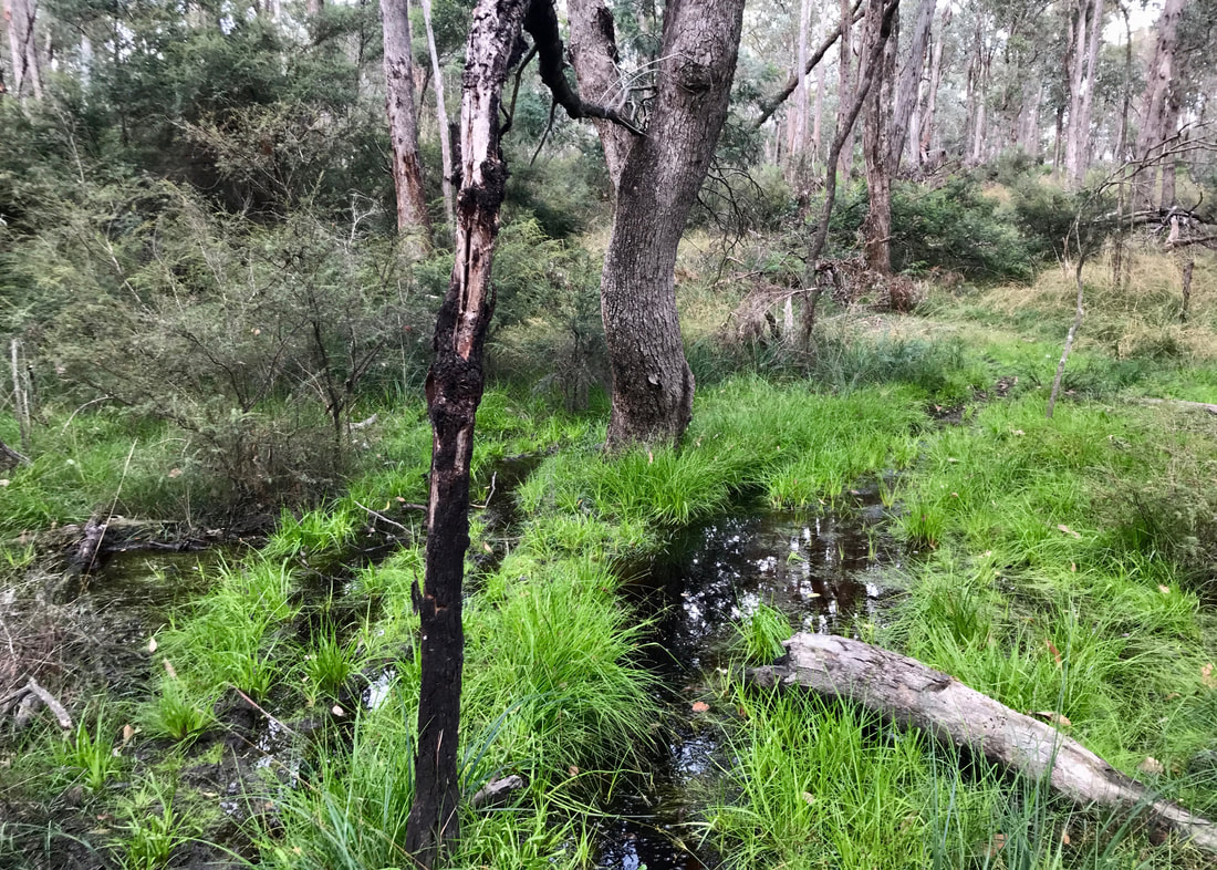
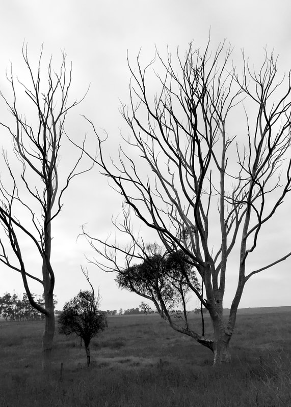
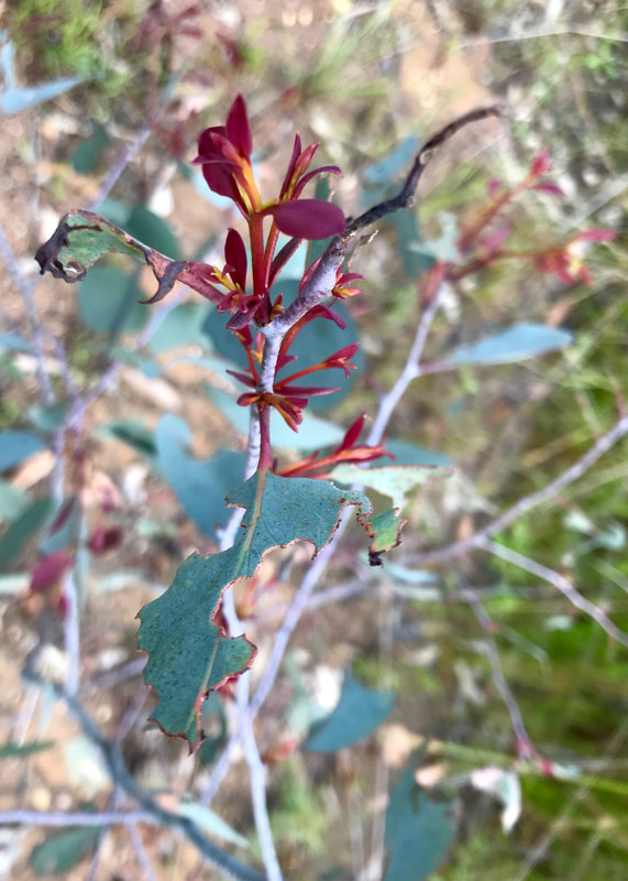
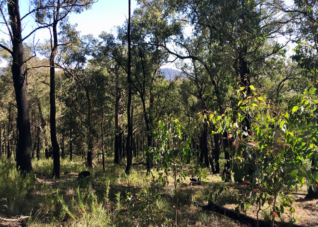
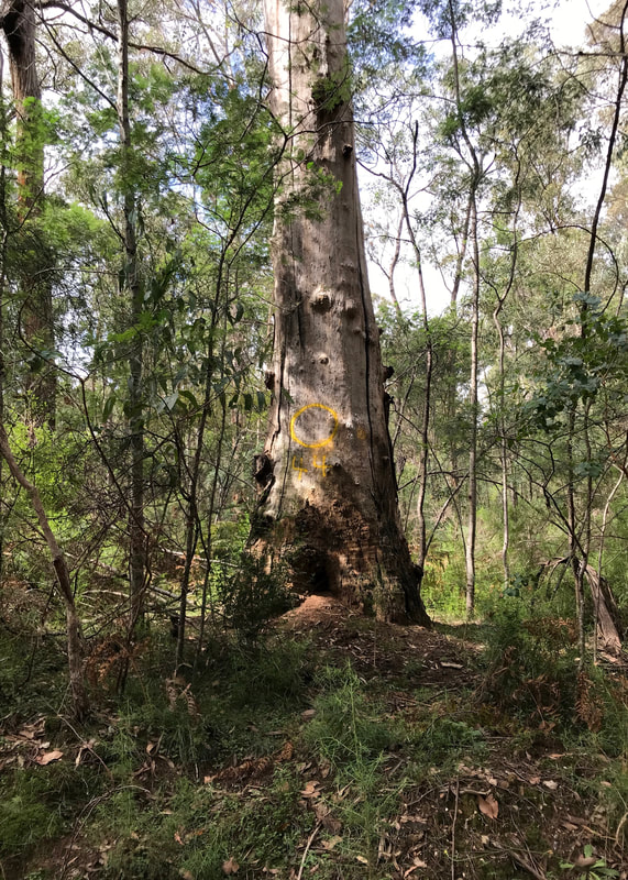
- The scenery was absolutely stunning along the creek - lush, green, some big trees (unfortunately many fallen) and tree ferns as well as the constant companionship of the water. It was much drier in the hills, similar to deeply familiar ecosystems from my childhood.
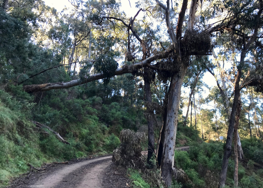
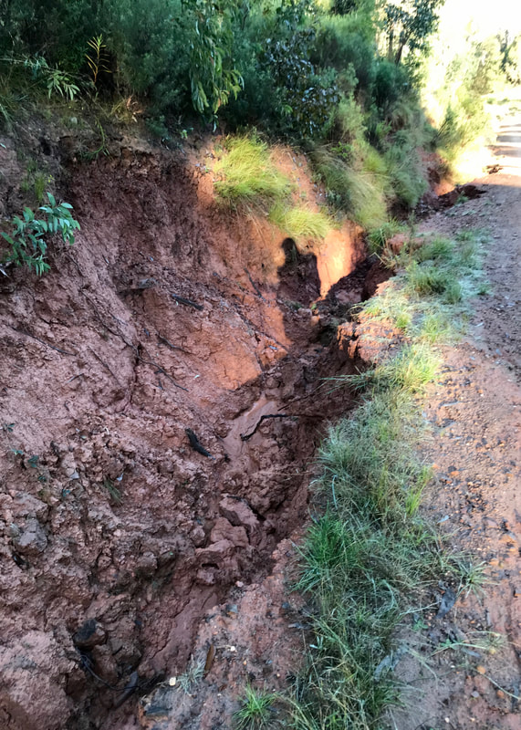
- As I mentioned, there were many fallen trees due to ground sogginess and then high winds, as well as some path damage. But the trees had recently been cleared and the bridges repaired, with path repair in progress, this was great to see.
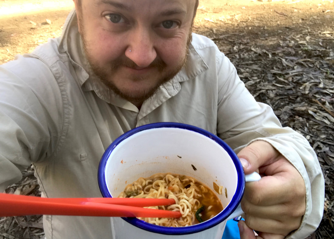
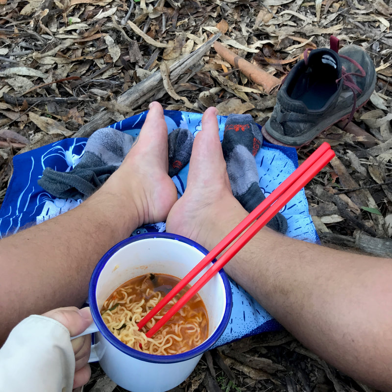
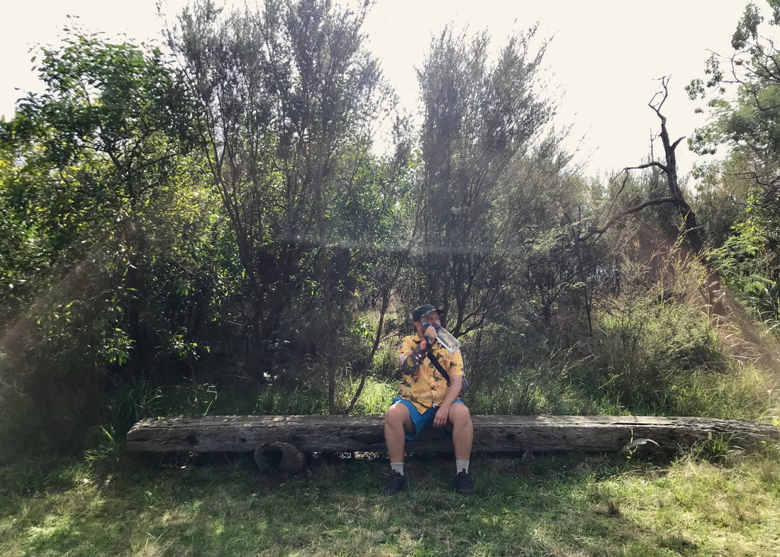
- We had morning tea at the quarry, where the granite for the entrance (at Lakes Entrance) was sourced. Lunch was a few kilometres further at the intersection with the rail trail, where there was a bench to sit on and soak up the sun. I stopped our group briefly on the way back for a rest stop - I think I needed it more than the others, as I’d been carrying a full pack.
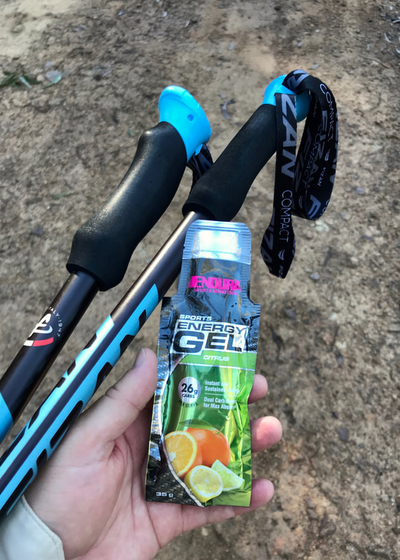
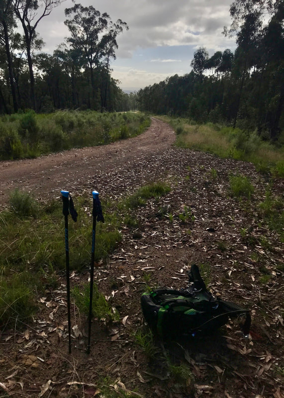
- In total, it was about 21.5km - we realised at the end that we hadn’t actually started where we planned, as we hadn’t driven all the way to Log Crossing picnic area. I used my trekking poles, which I hadn’t had on my short walks in Melbourne, and which I’d forgotten on the Moe-Yallourn walk. It made a difference to my feet and ankles, and also seemed to help a bit with my shoulders and the packweight. Both Dan and I actually felt better after this walk than the rail trail walk the previous day.
Dan and me at the far end of the trail, where it joins the East Gippsland Rail Trail. Photo by Fiona.
Notes
I’ve put these two walks together and not written too much about them because I’m rapidly running out of time to do actual prep for the trail. What with also getting ready to move into our new house, settle in and start the home improvements there, I don’t feel like I have much time for blogging.
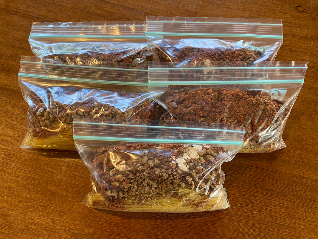
Five little ziplock bags stuffed with pasta, powdered sauce, a little extra pea protein and TVP.
In other preparation news, by the time I wrote this up at the end of June (it's taken me a couple of weeks to post it!) I’d done my first accommodation booking, got a tiny torch and a sleeping top/base layer with a hood. I'd also packed up some dehydrated meals: five bags of angel hair pasta with vegan bolognese, four bags of sweet potato dhal, a bunch of miso porridges and a batch of chia breakfasts with acai and mango. I still had a few to do - including a chilli, a couple of dips, a different batch of chia breakfasts and both sweet and savoury polenta.
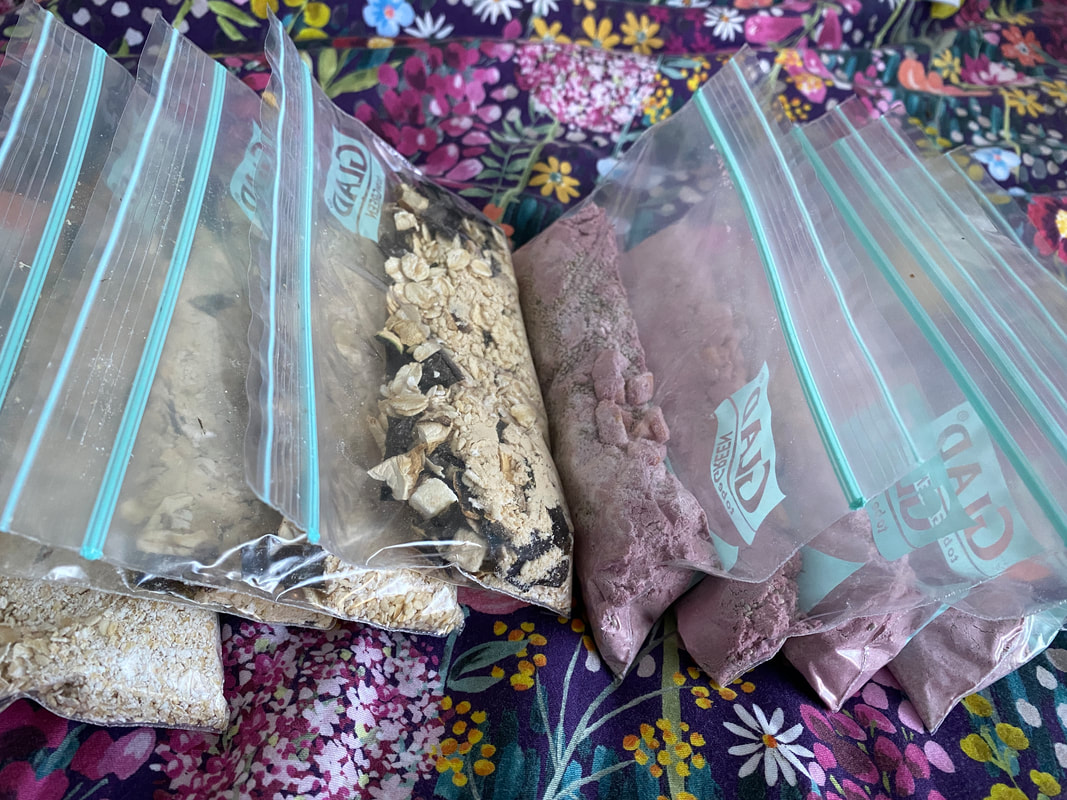
Ziplock bags with savoury miso porridge (left) and sweet mango and acai chia pudding (right).
Both walks are on Gunaikurnai Country. The Moe-Yallourn Rail Trail is on the land of the Brayakaulung people, the Gippsland Lakes Discovery Trail is on the land of the Brabralung people. This always has been, and always will be, Aboriginal land.

![Home-printed sign - MAN WITH BULLDOG. [YOU KNOW WHO YOU ARE] PLEASE STOP LEAVING YOUR DOG POOH BAGS HERE. USE BINS NEAR THE OVALS ON EITHER SIDE OF MERRI CREEK.](/uploads/3/7/5/8/37581127/19-man-with-bulldog-you-know-who-you-are_orig.jpg)


 RSS Feed
