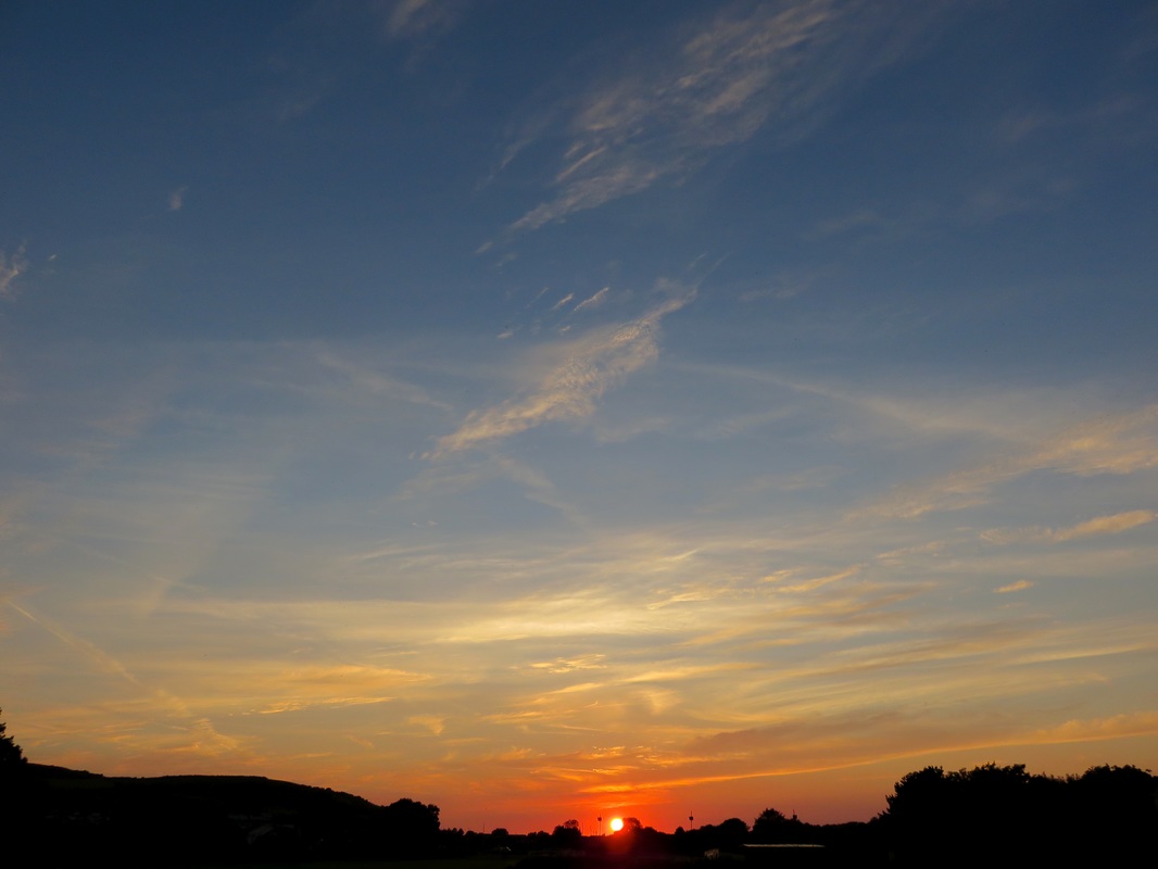
It feels as though autumn has arrived early this year, interspersed with bouts of summer that the grouches will say was “better late than never”.
I entertain my fans.
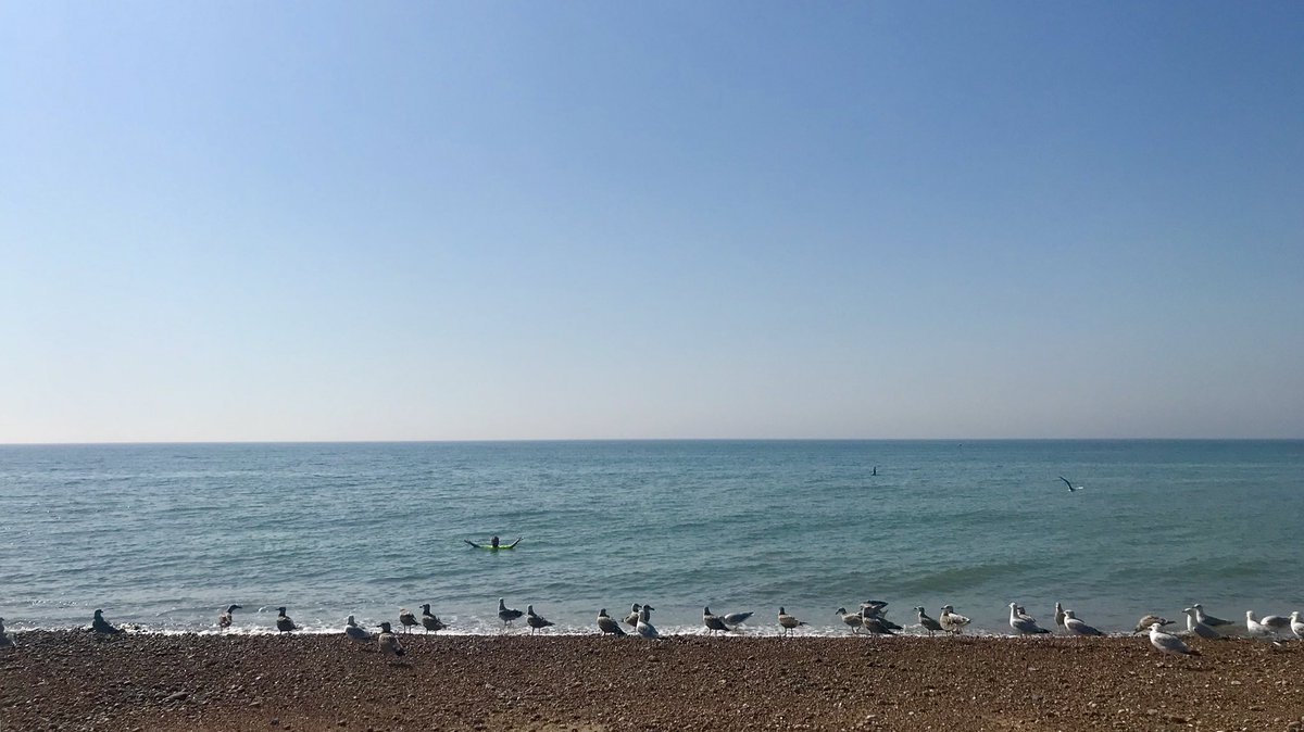
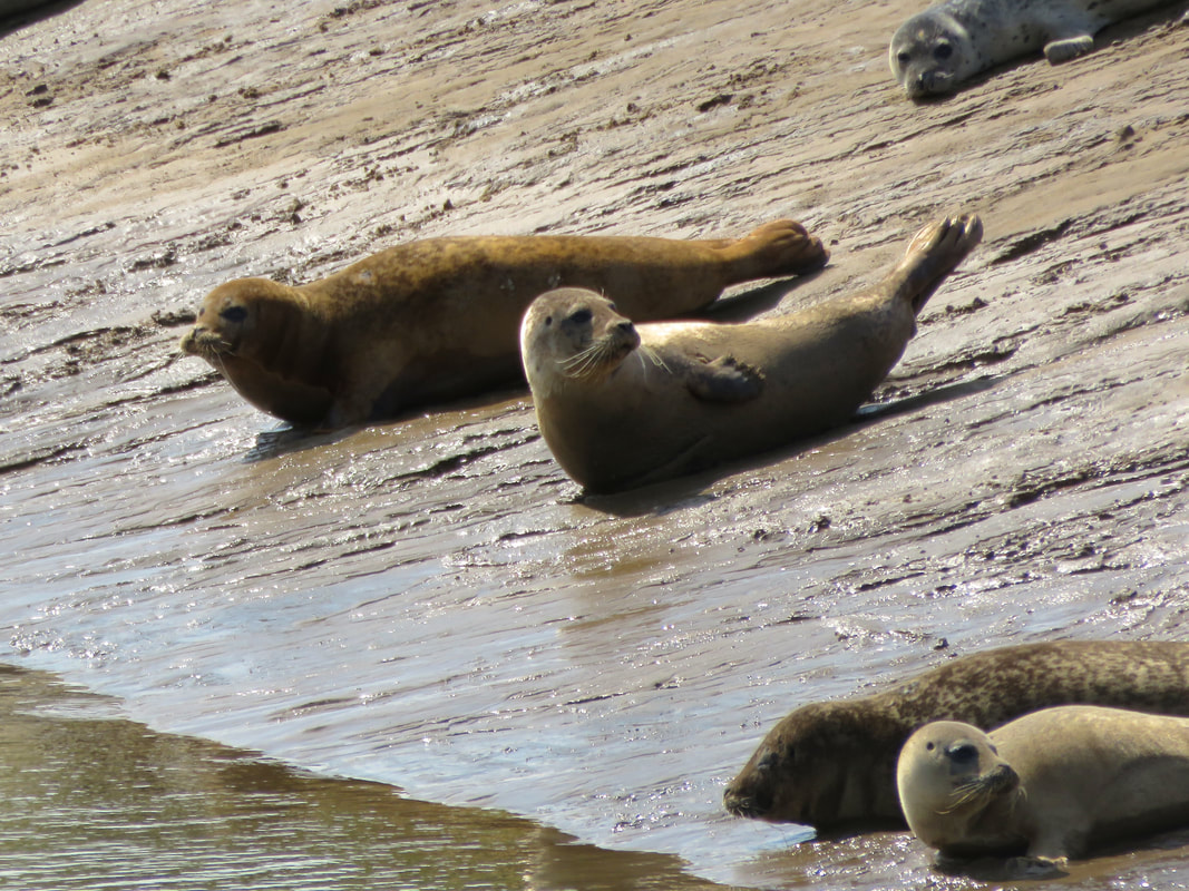
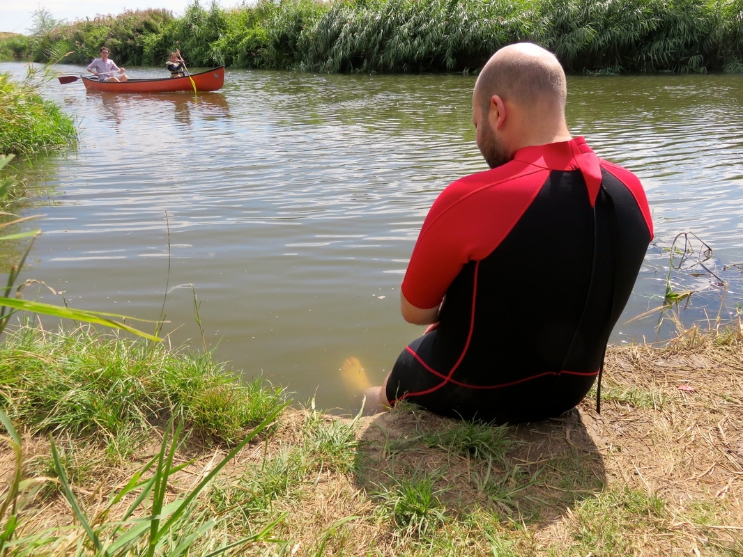
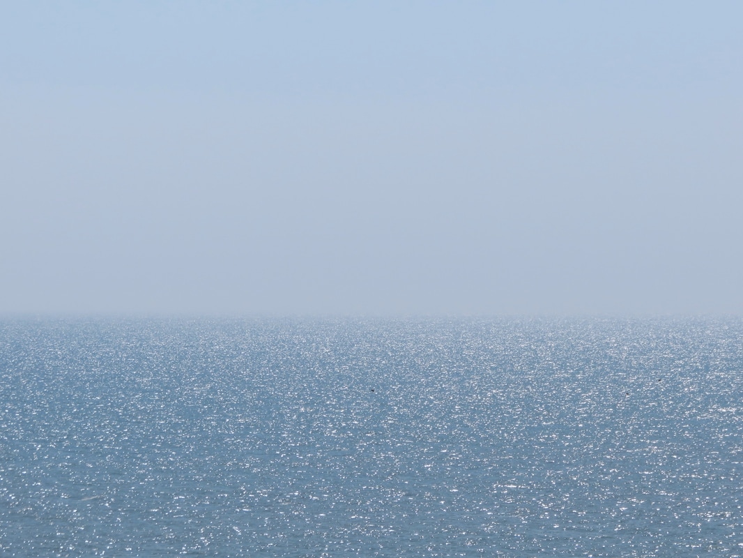
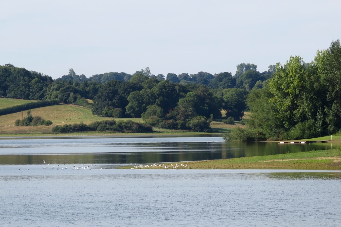
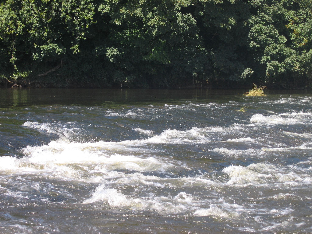
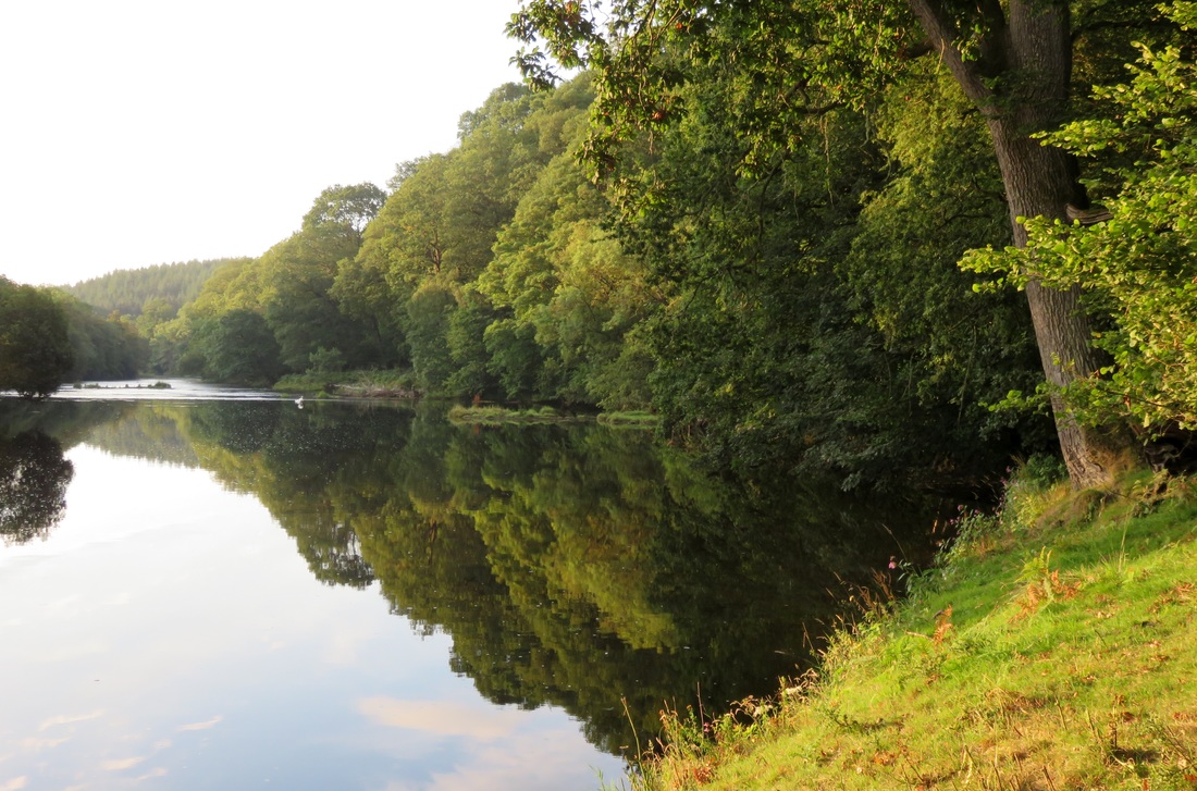
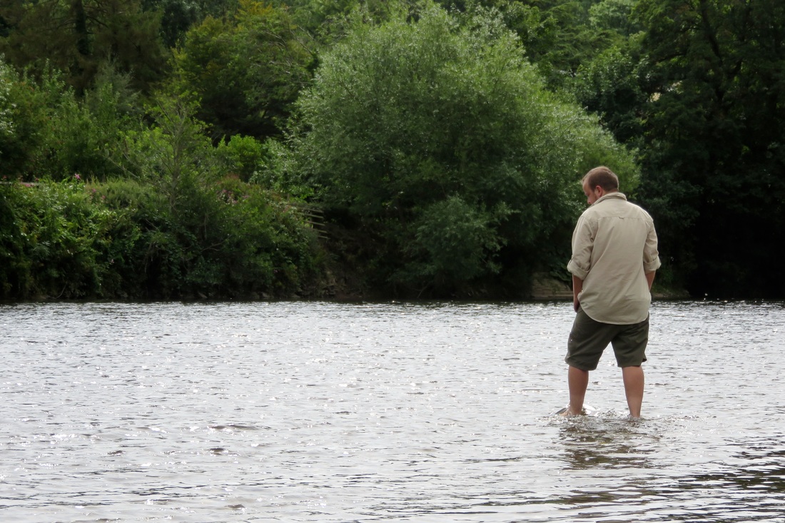
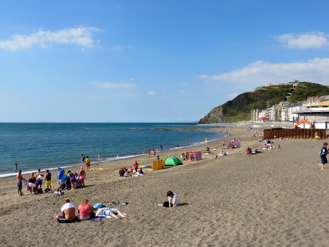
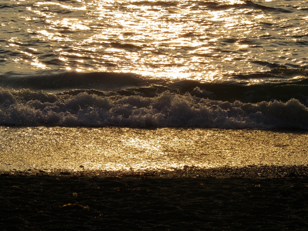
As I write, I have been in the water every day for the last four days: sea swimming three of those days, in a smooth blue expanse that glints out to the hazy horizon; river paddling once with a friend, in a clear, young river surrounded by fish and laughing children.
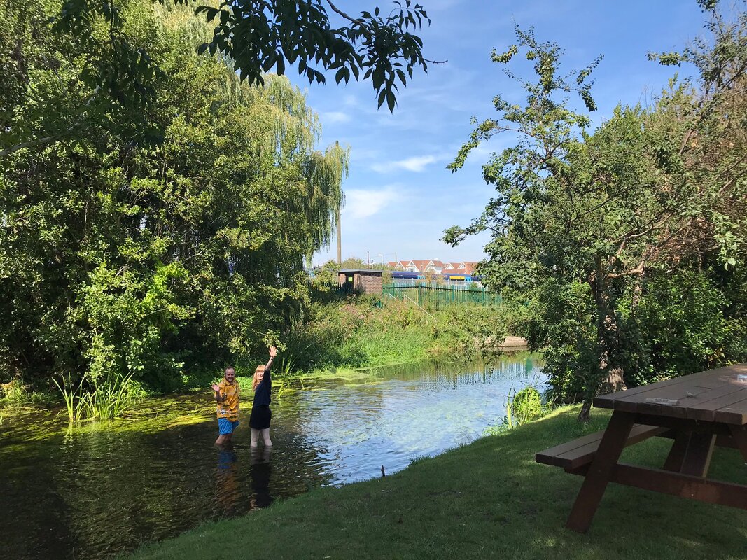
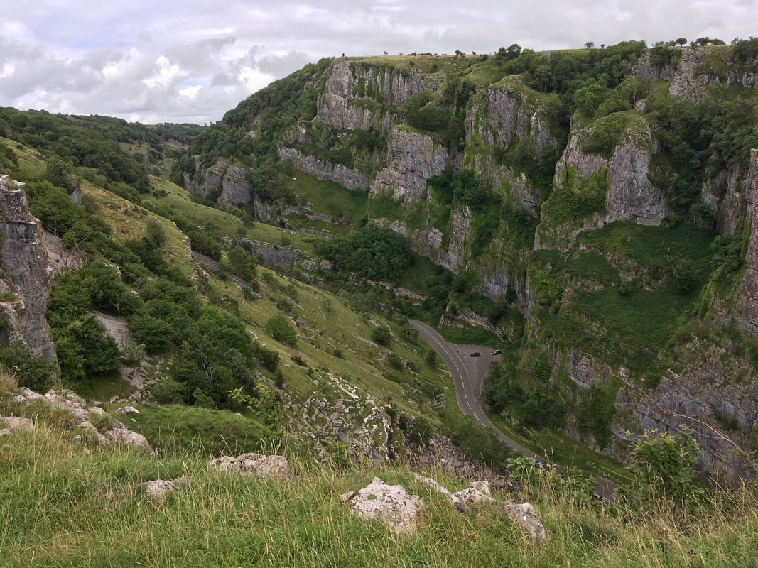
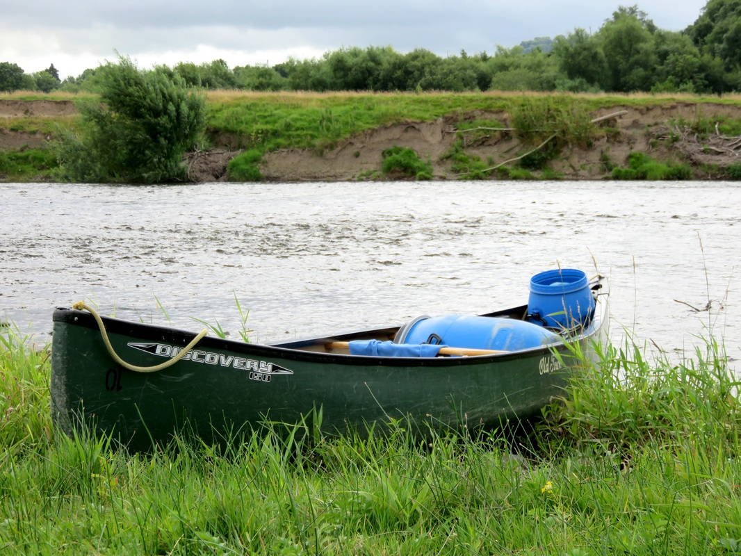
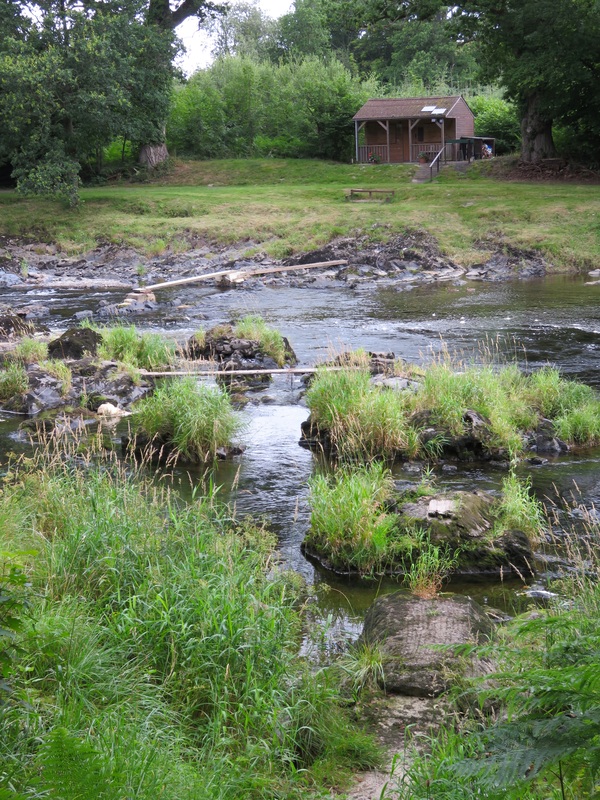
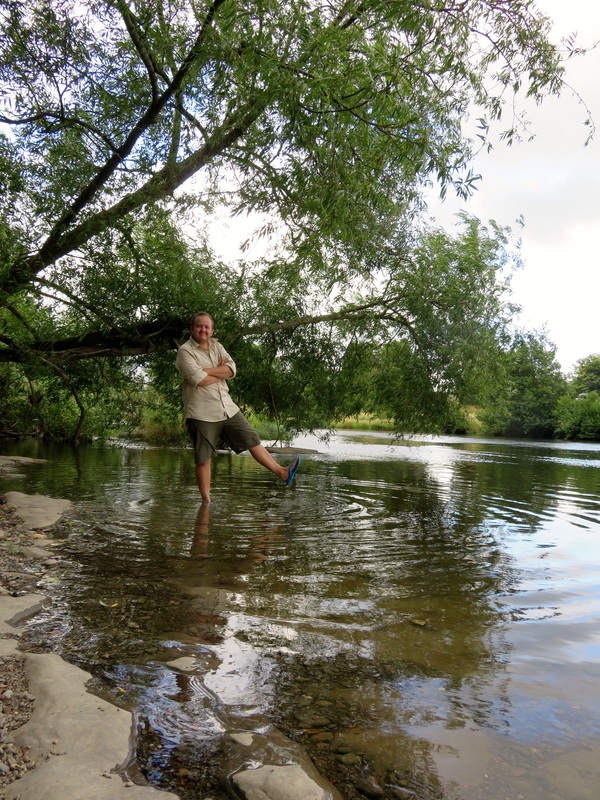
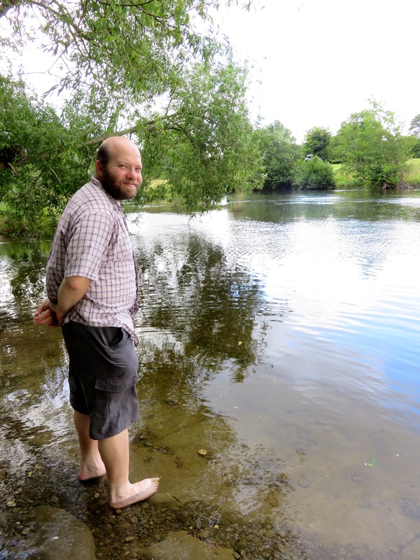
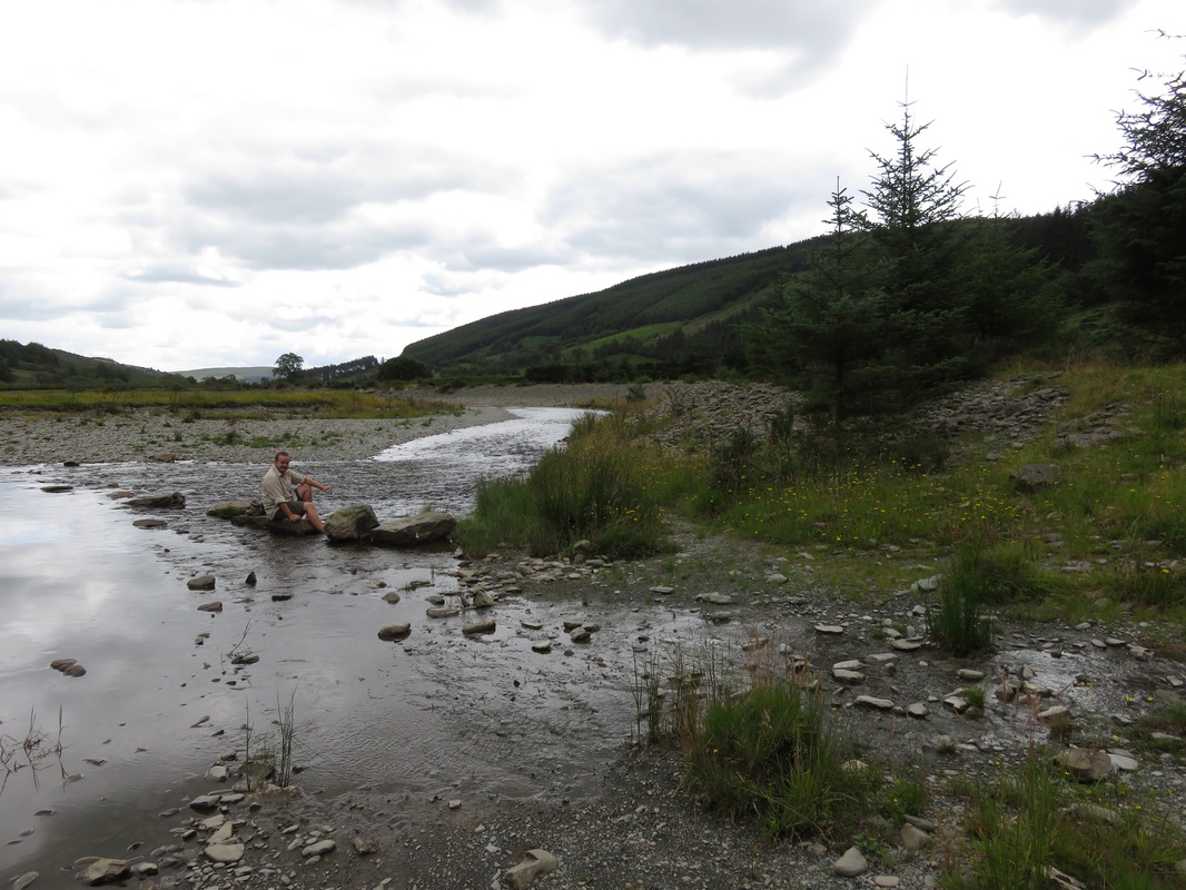
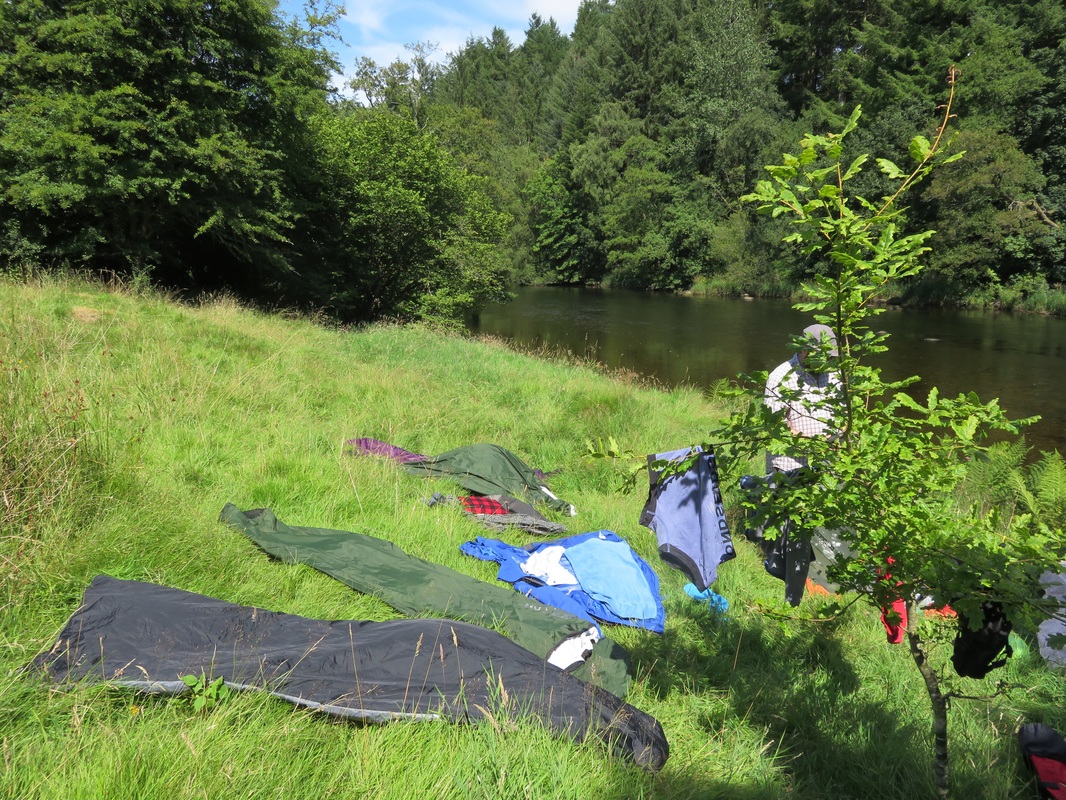
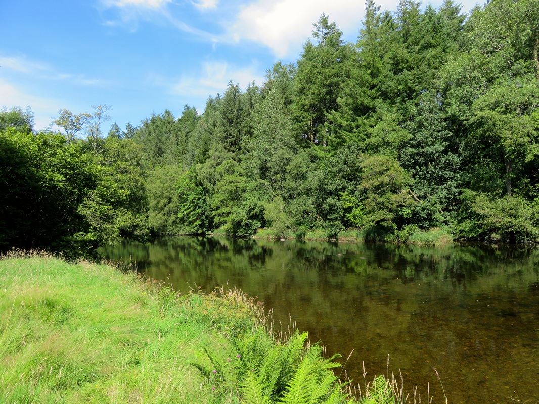
We decided it was too hot to climb a hill, so we jumped in here instead.
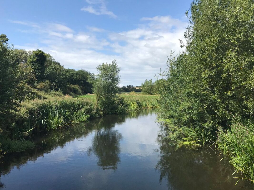
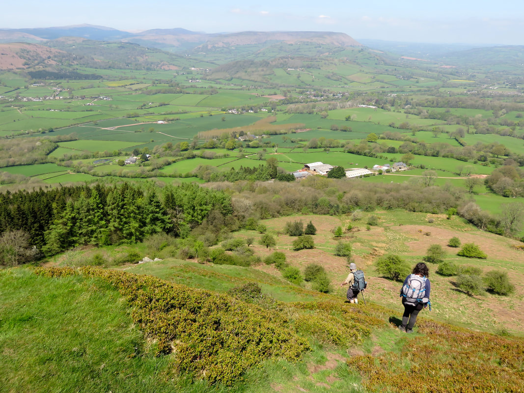
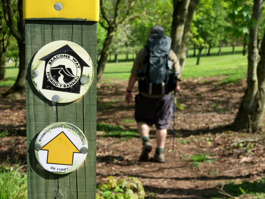
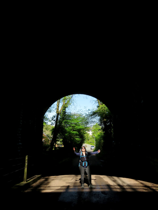
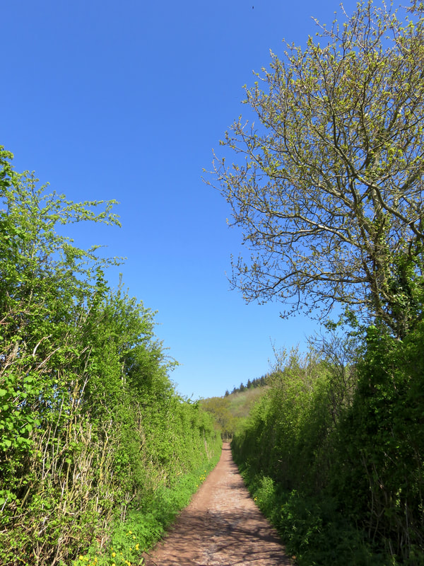
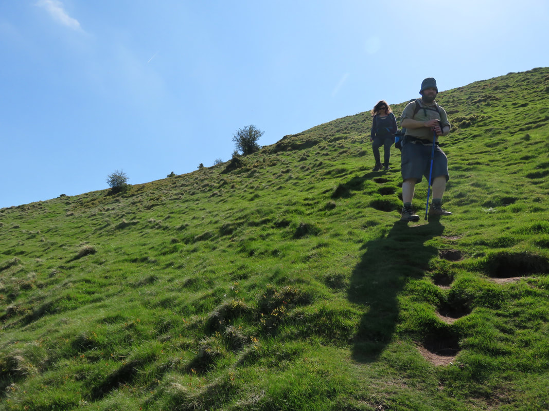
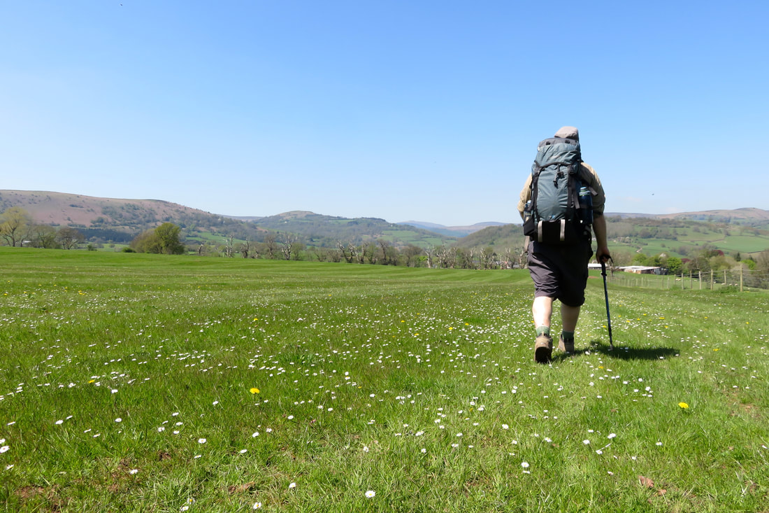
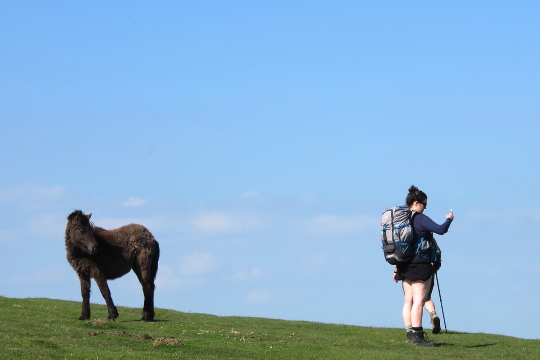
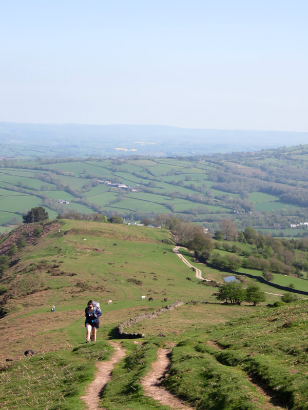
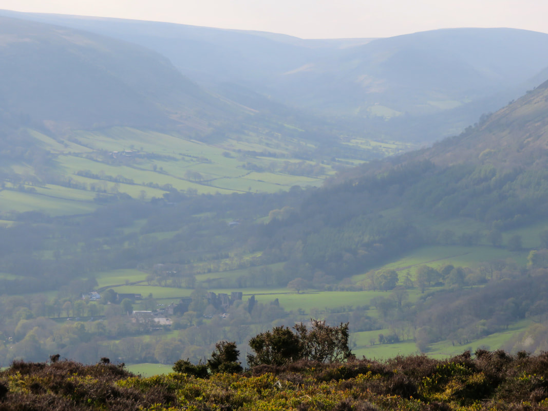
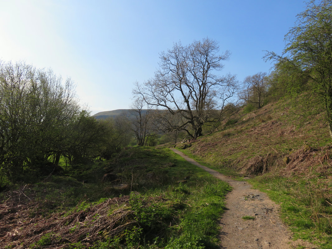
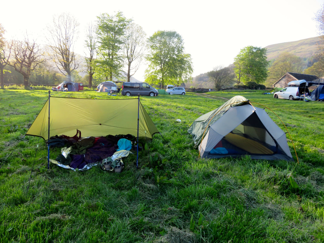
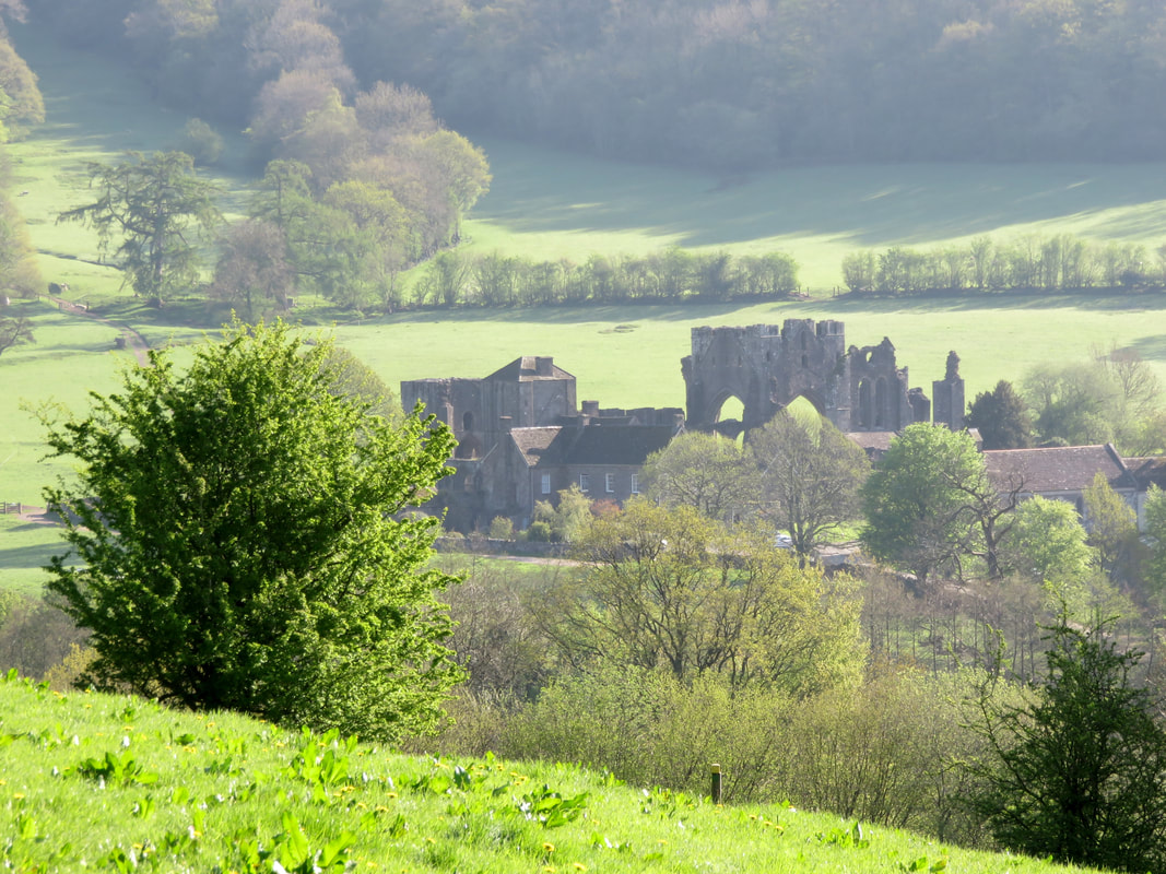
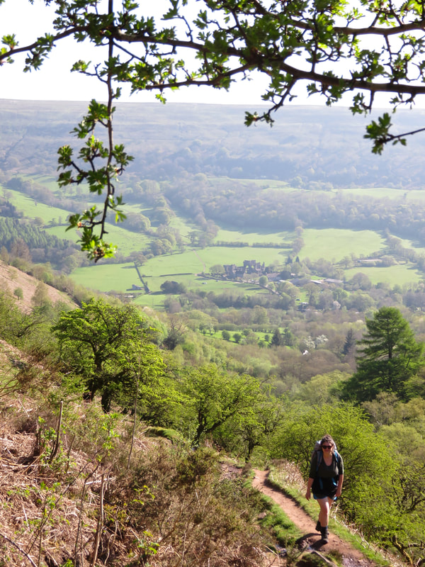
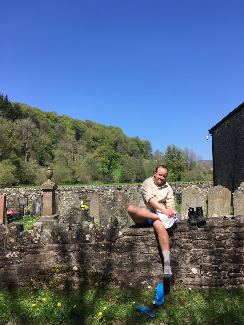
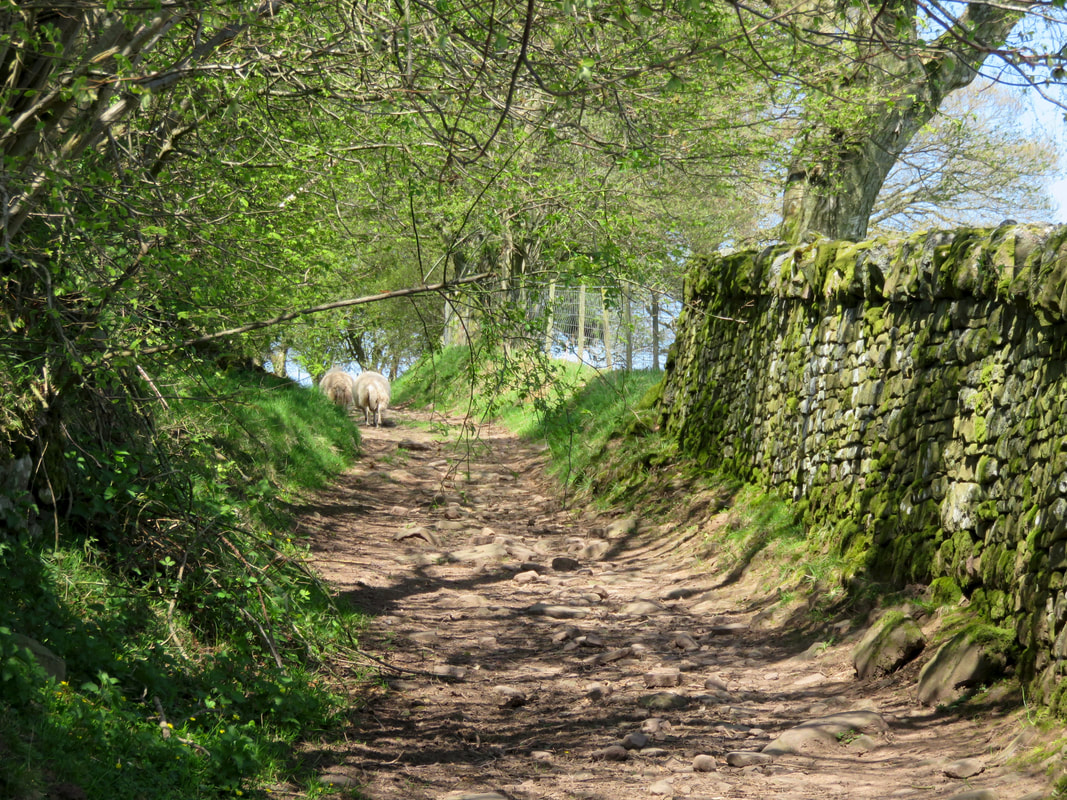
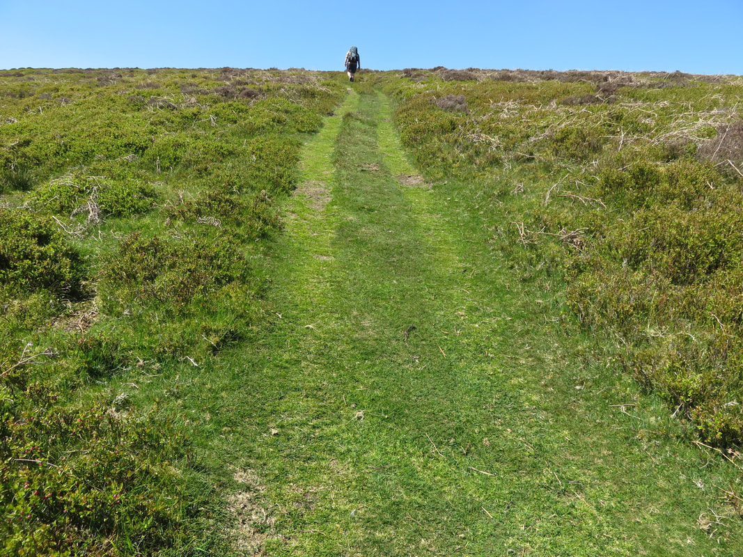
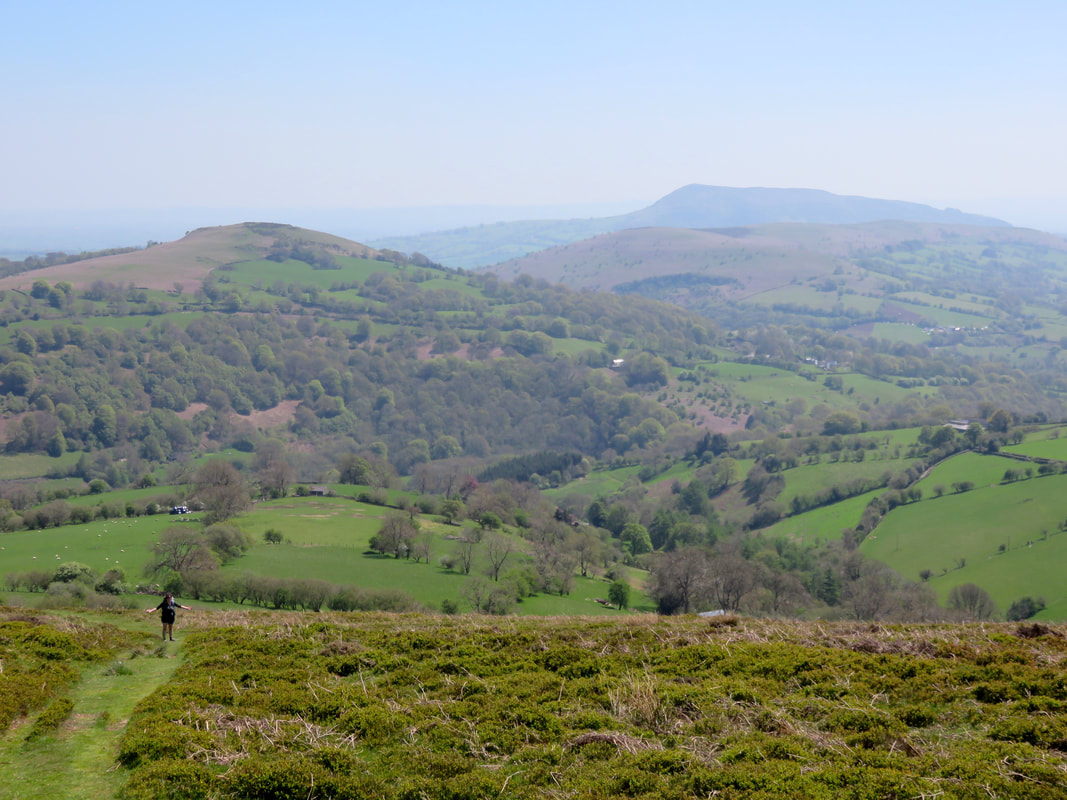
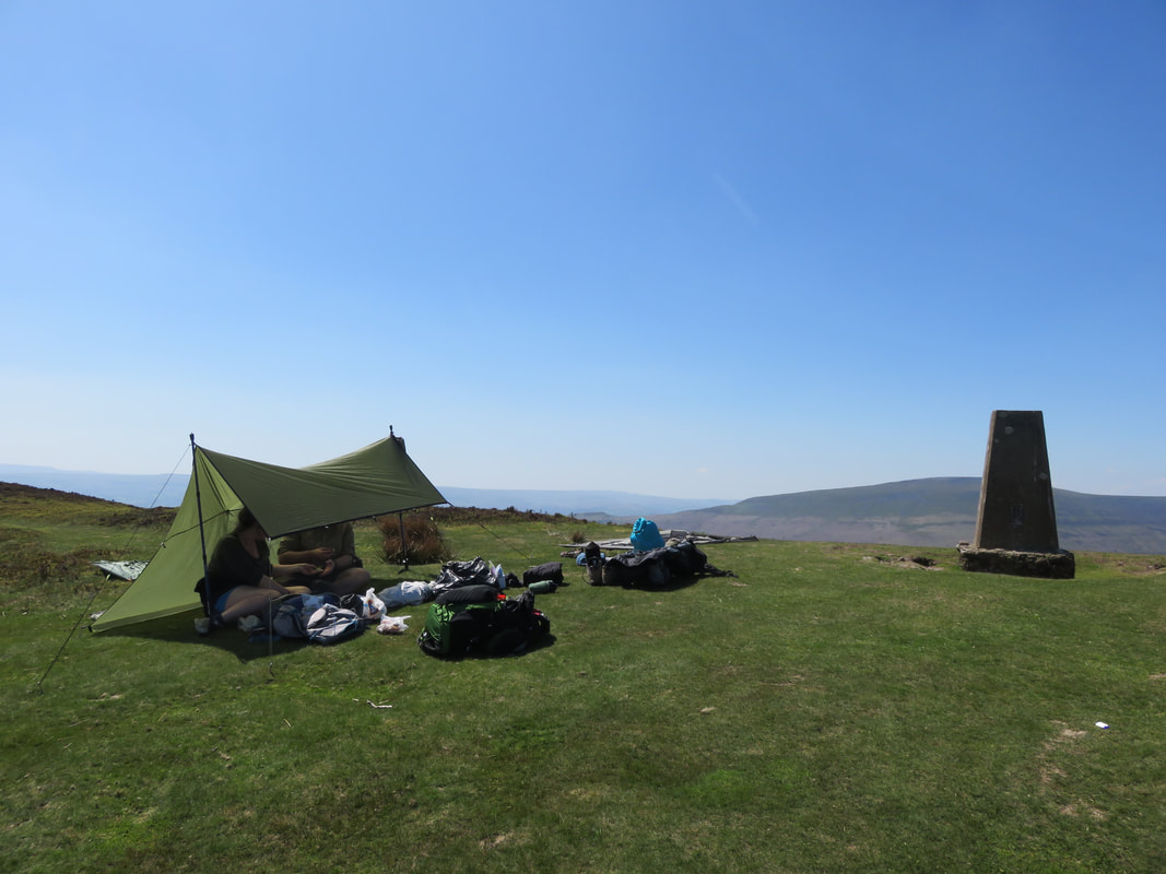
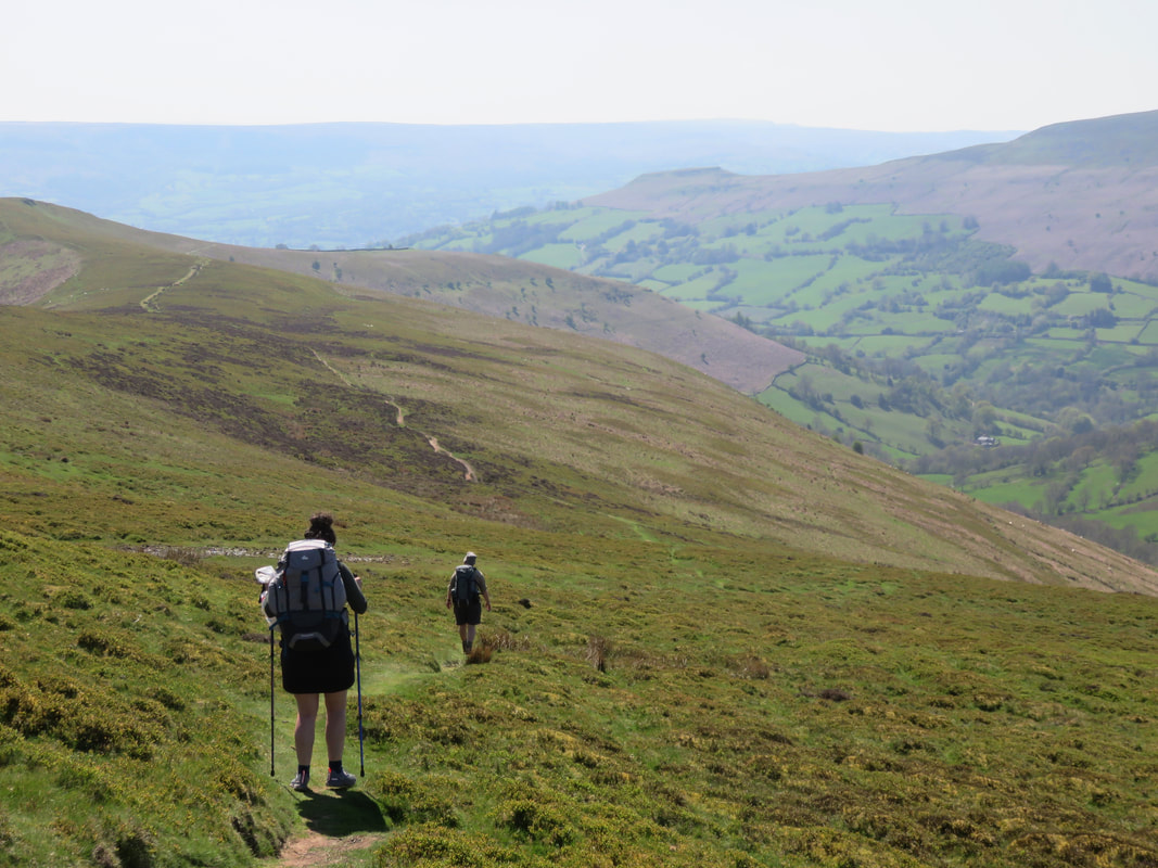
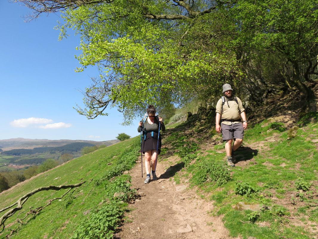
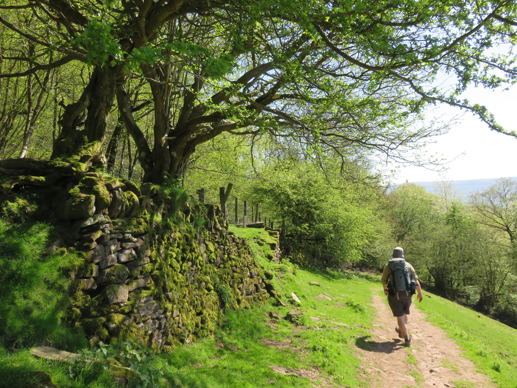
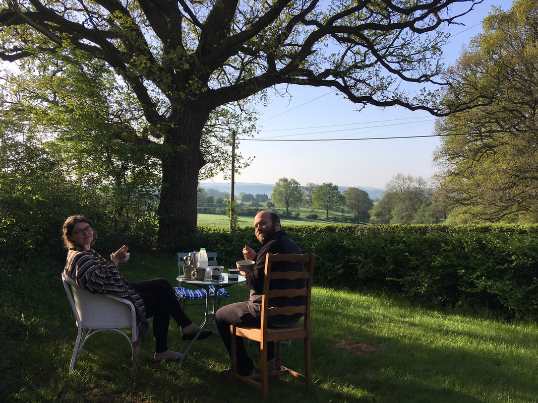
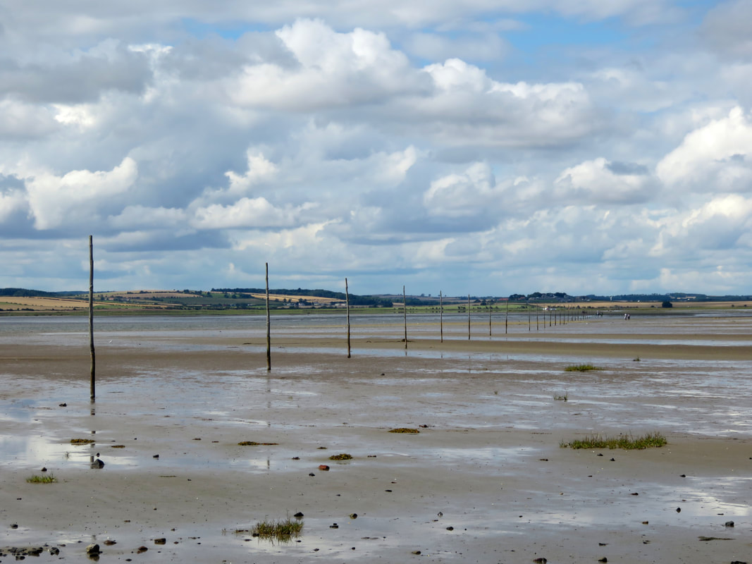
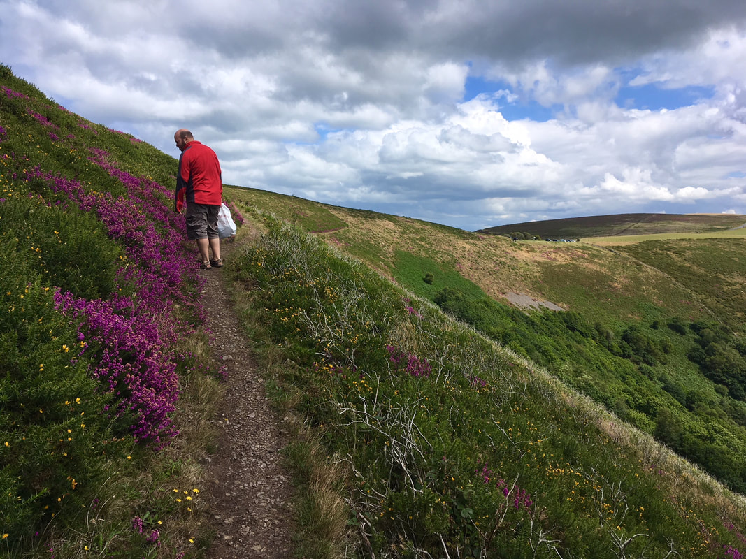
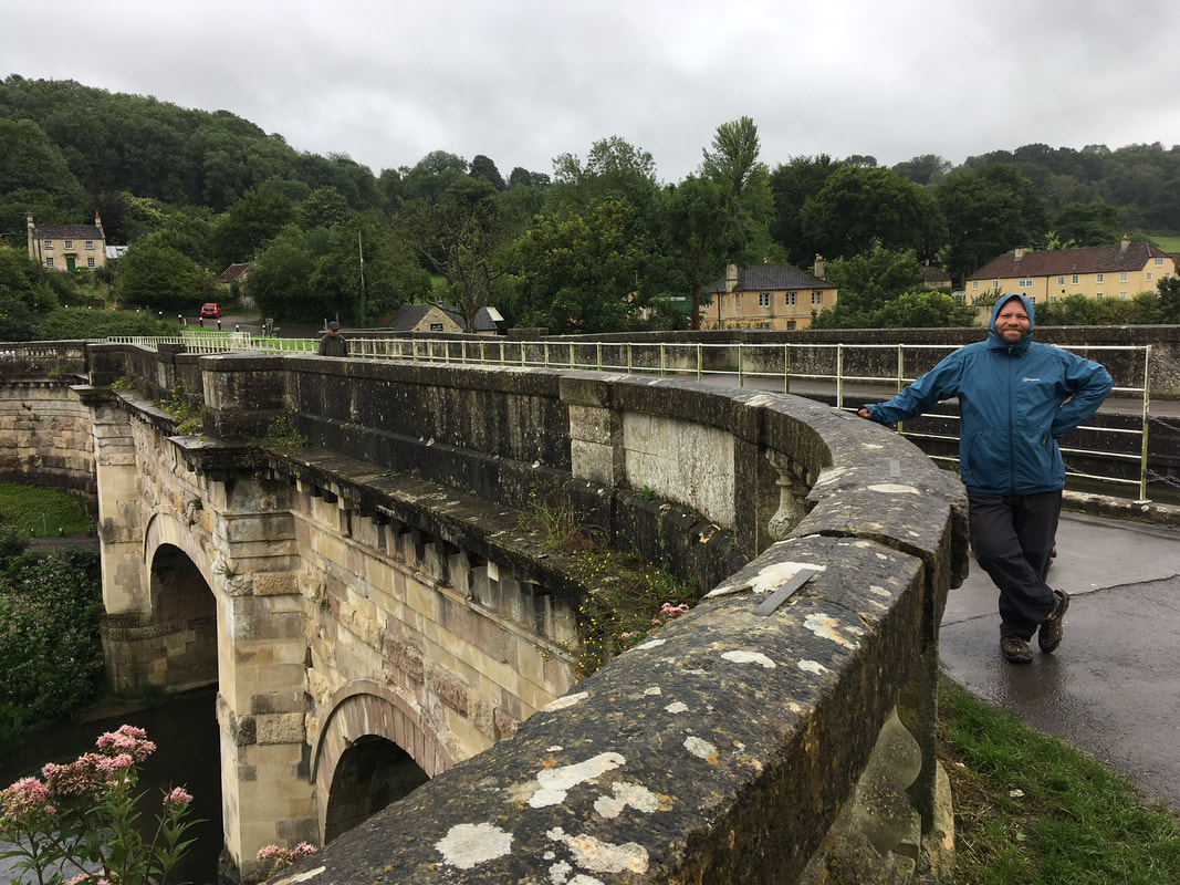
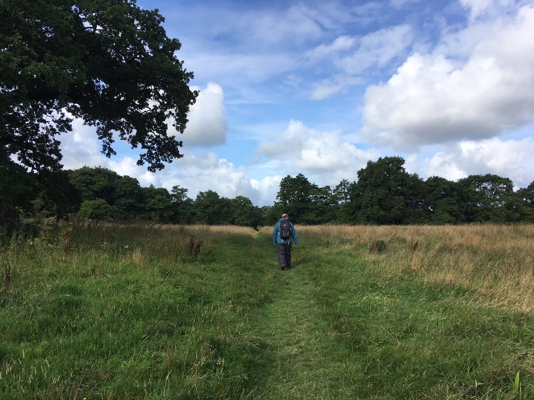
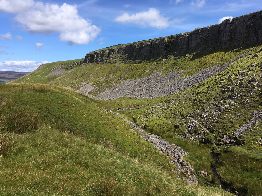
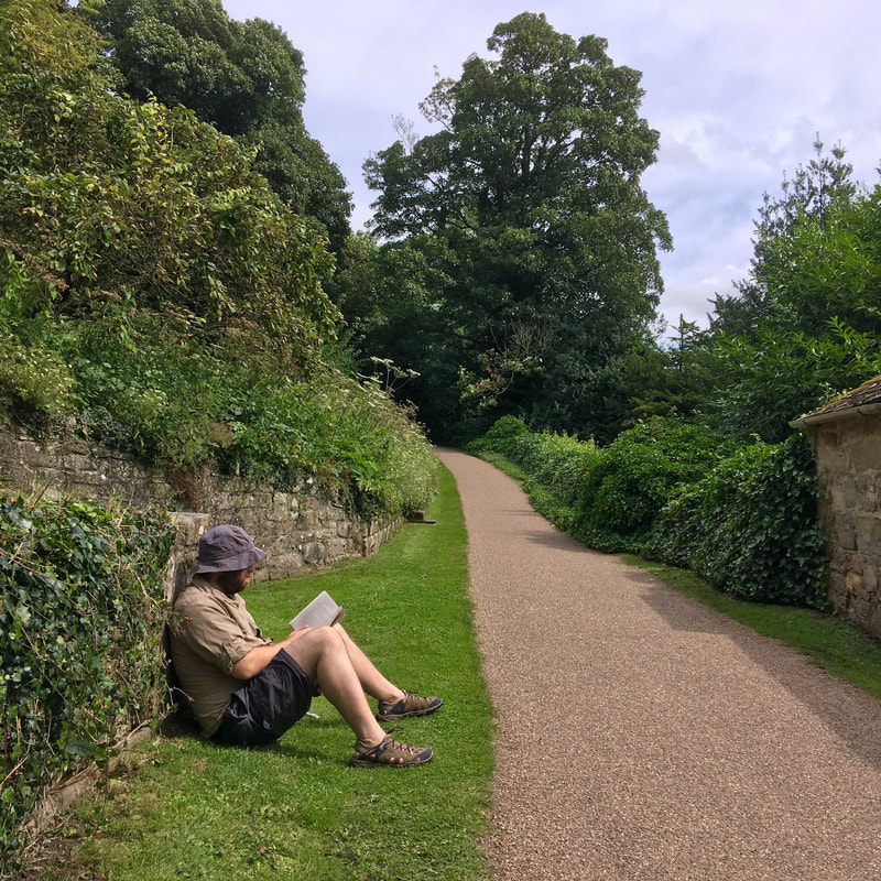
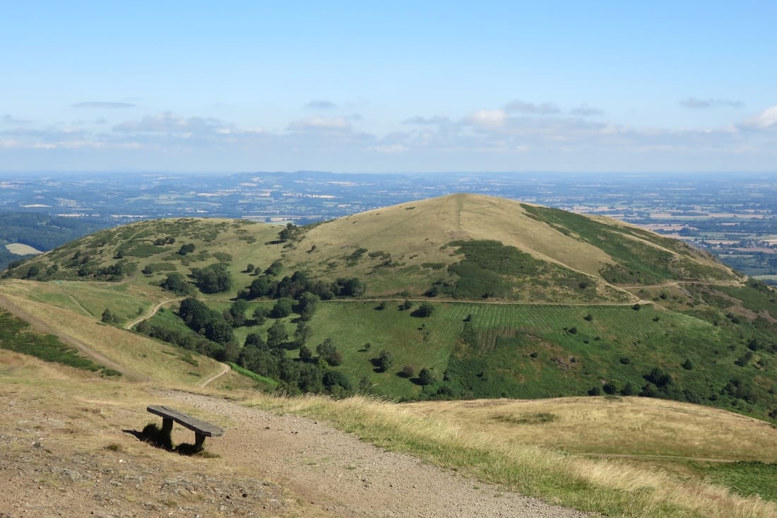
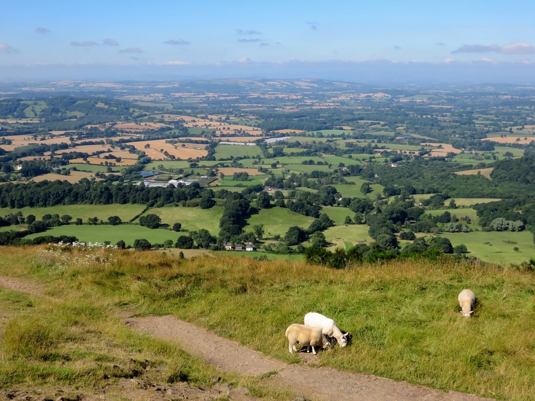
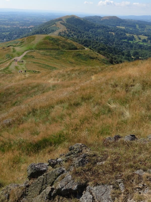
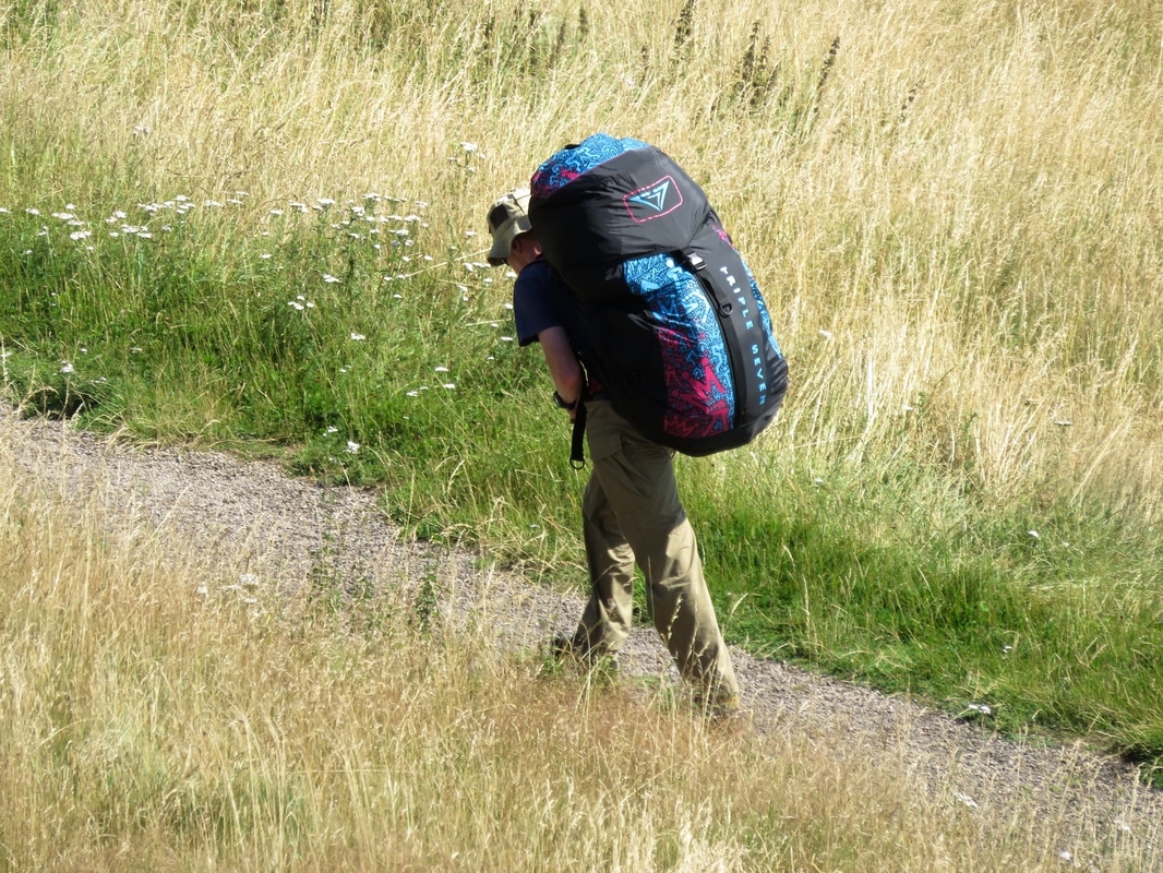
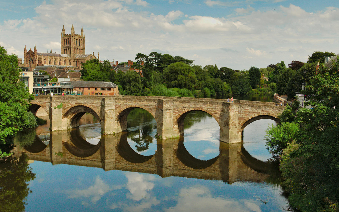
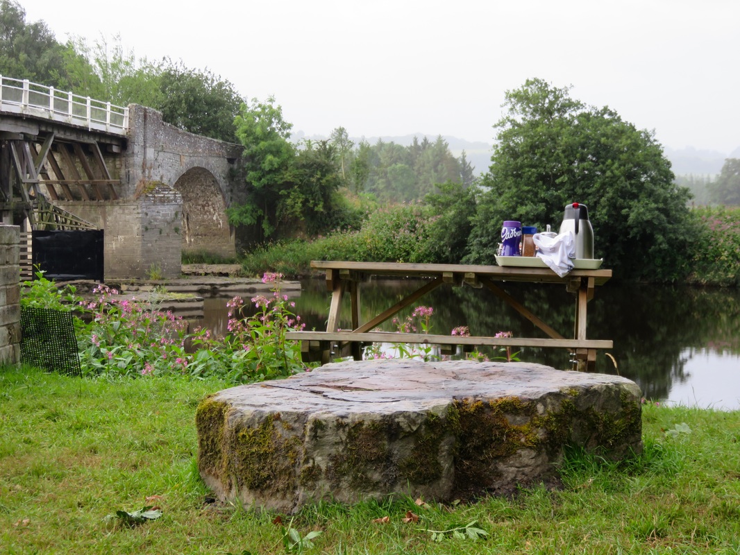
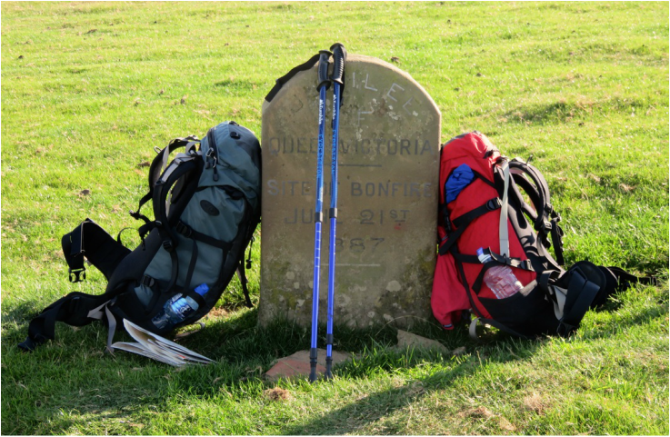
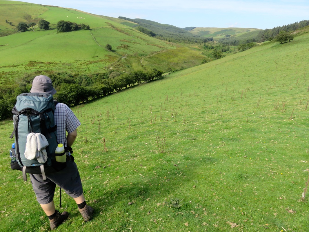
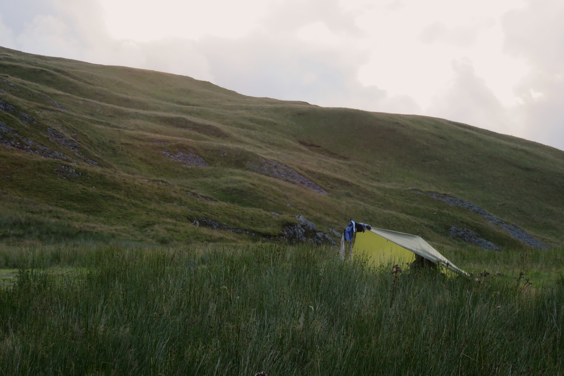
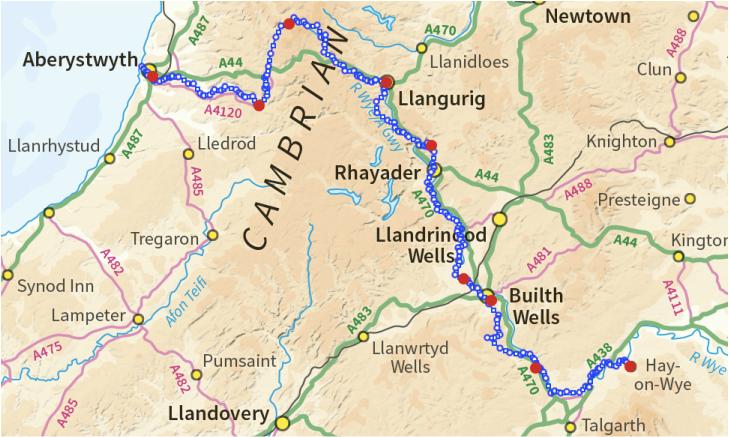
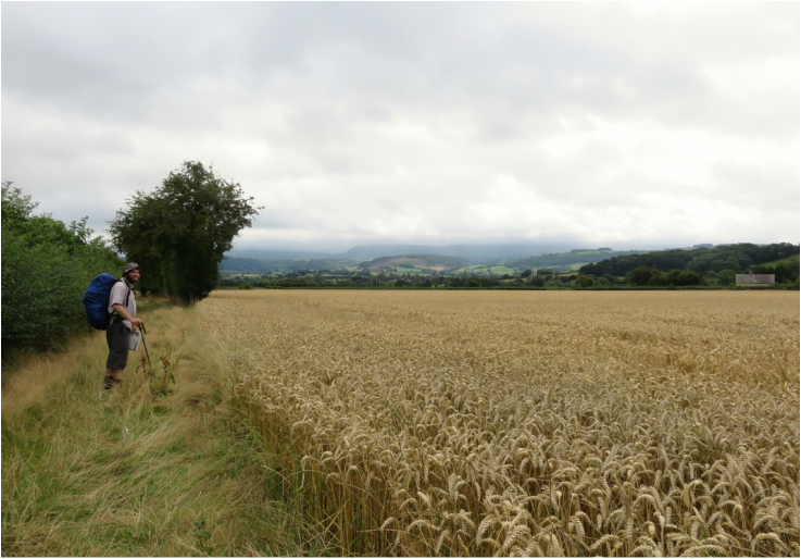
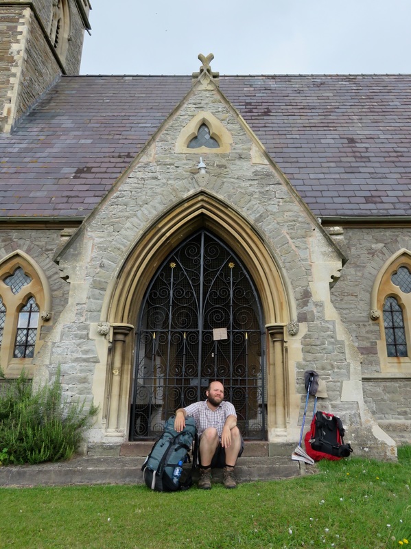
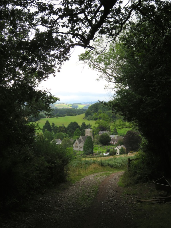
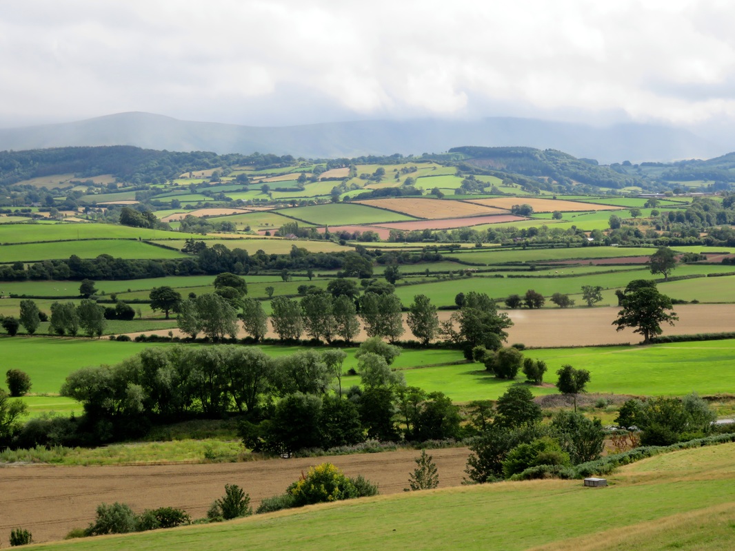
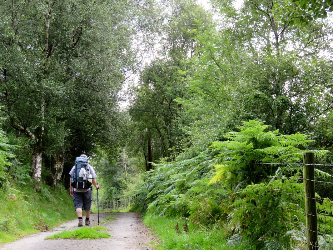
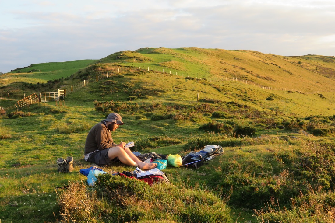
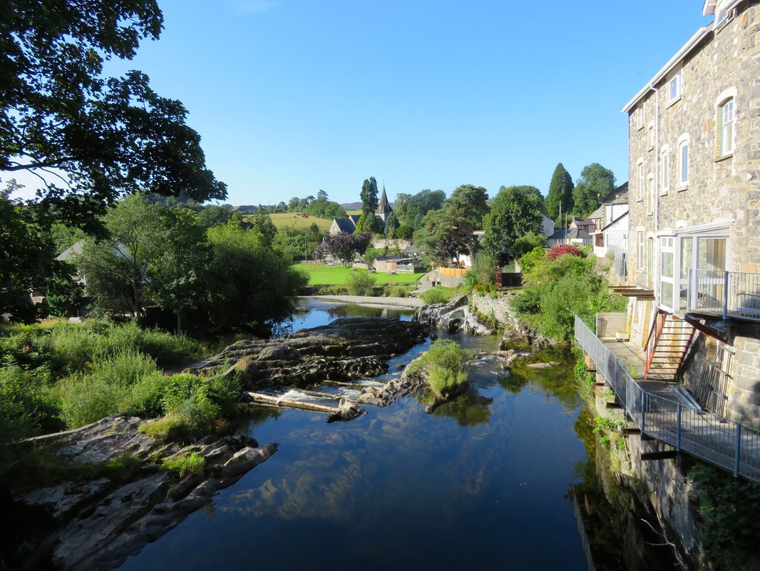
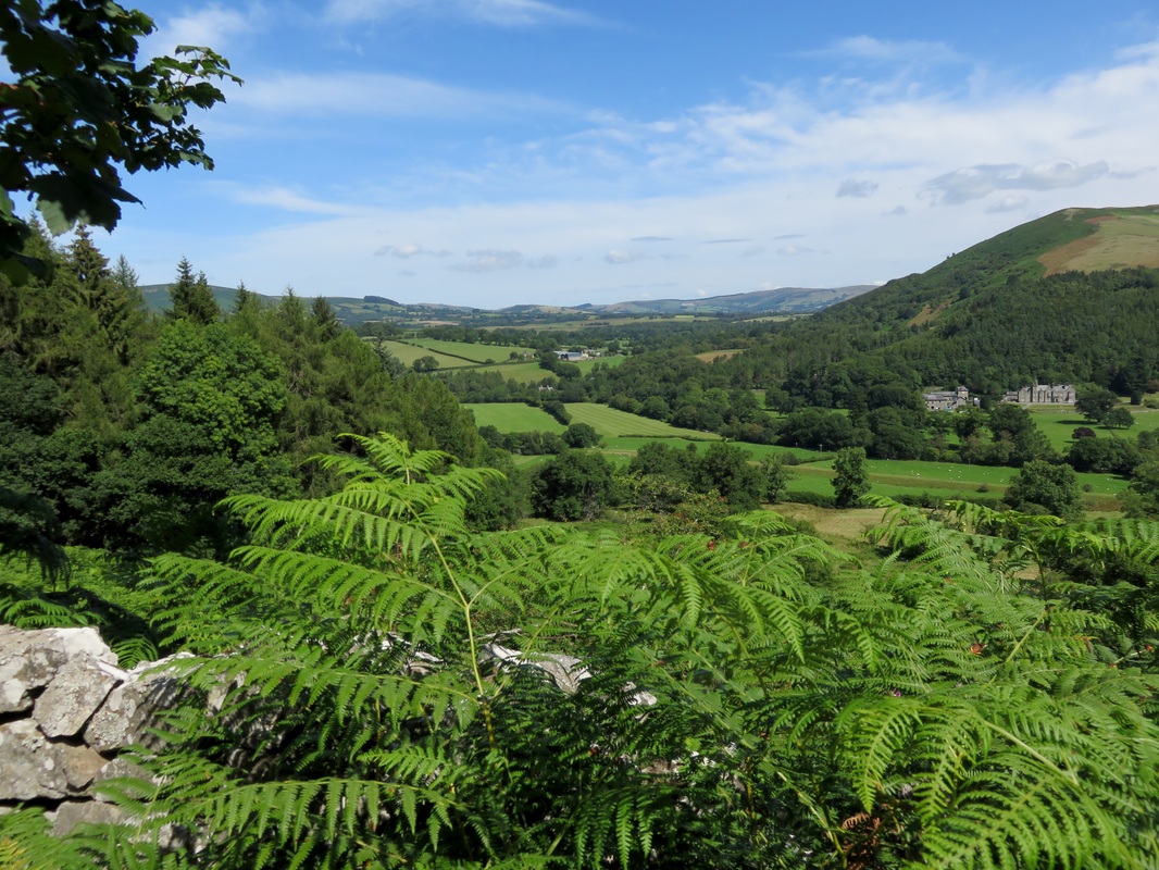
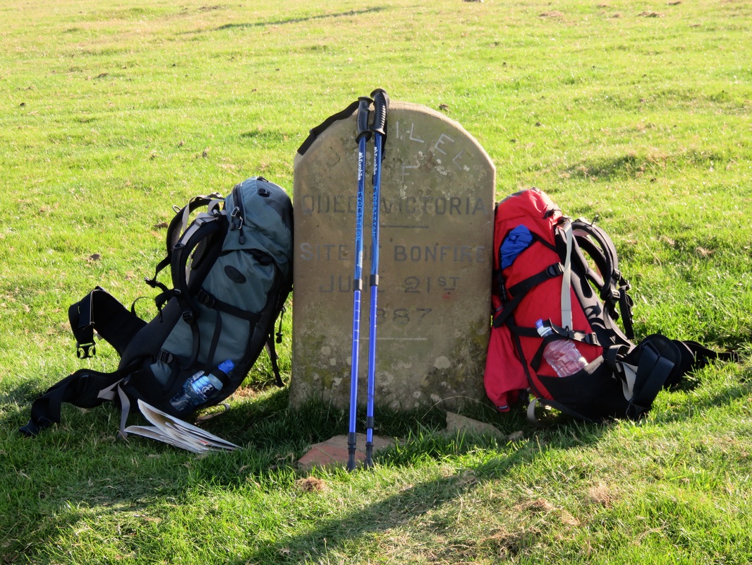
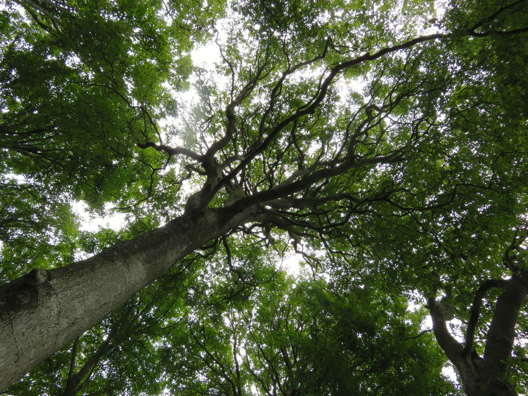
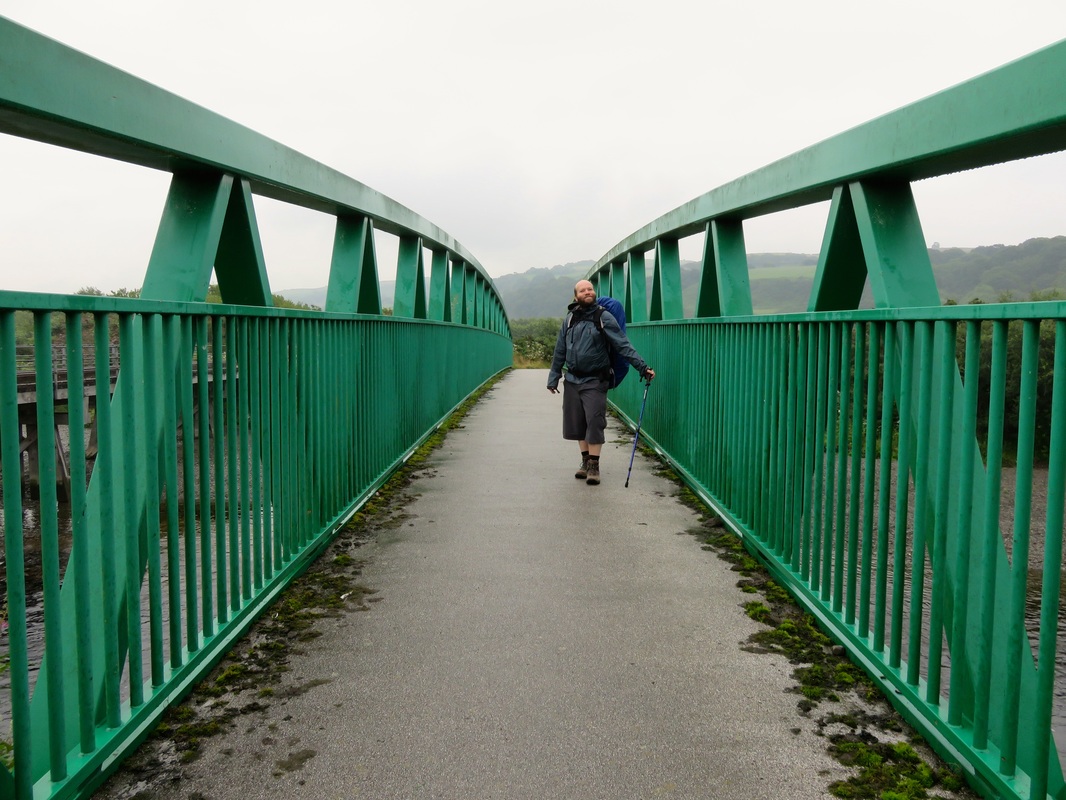
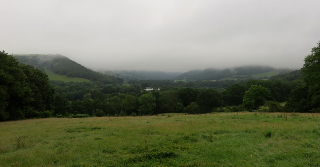
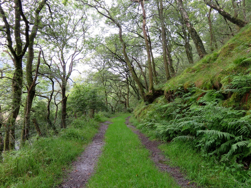
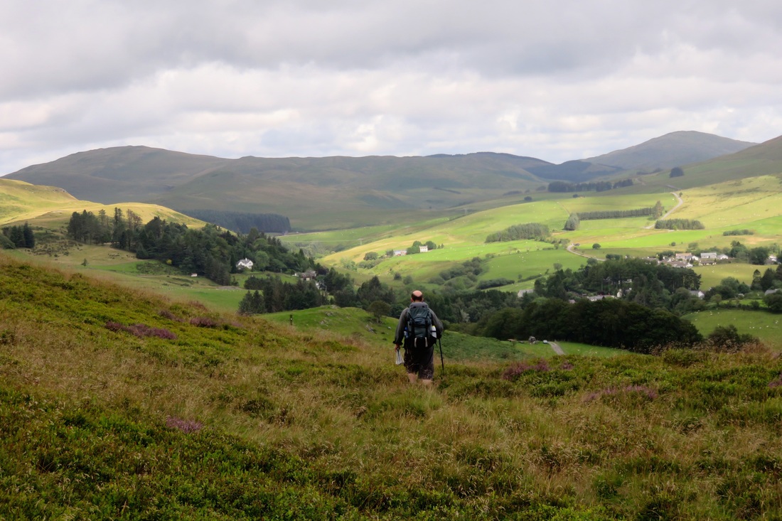
Last week, I spent five days walking with Allysse through Wiltshire, experiencing everything from epic downpours to hot, lazy afternoons, camping in fields and woods and skinny dipping along the way.
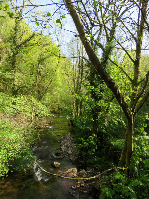
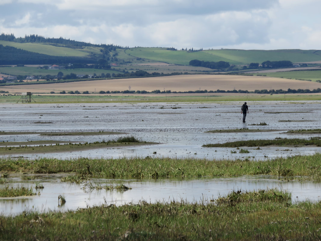
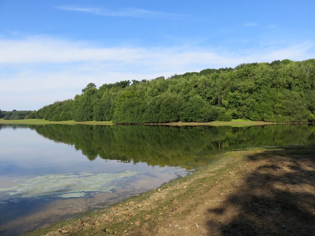
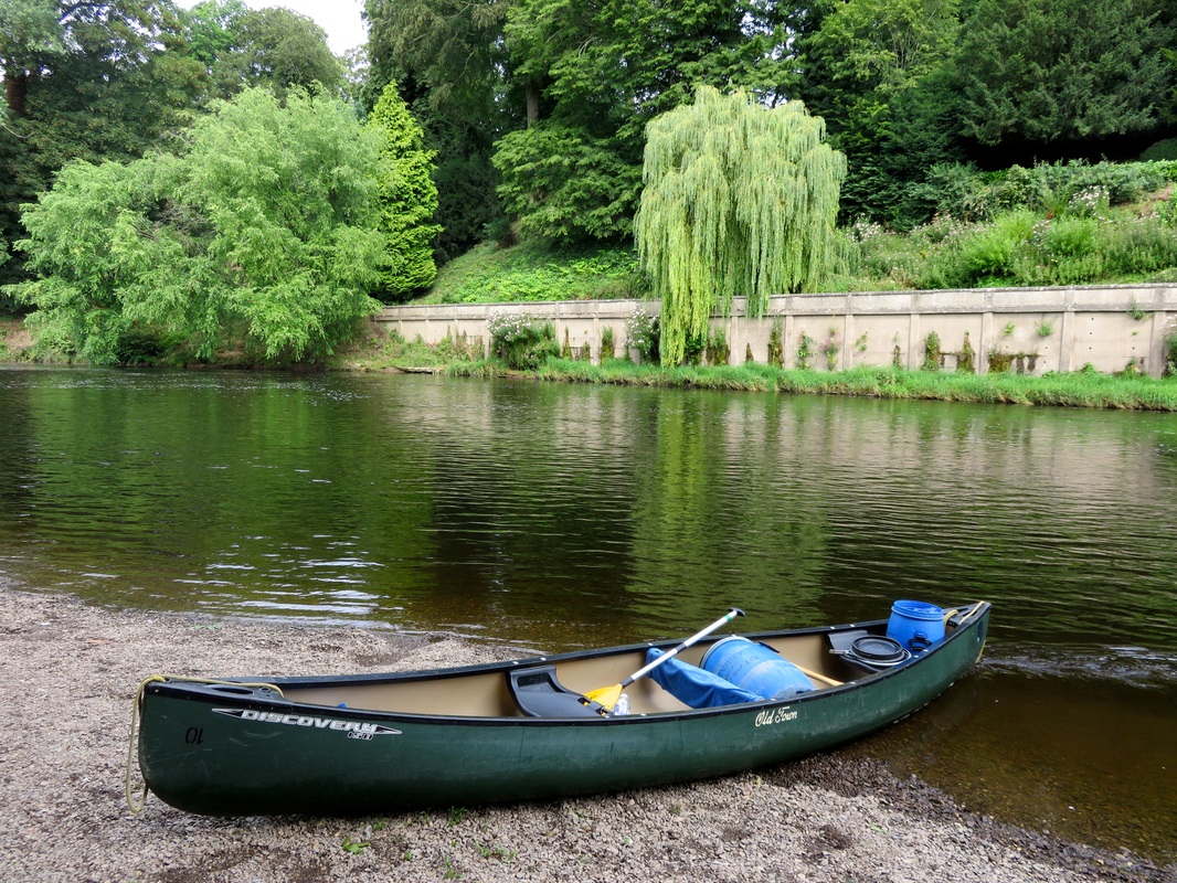
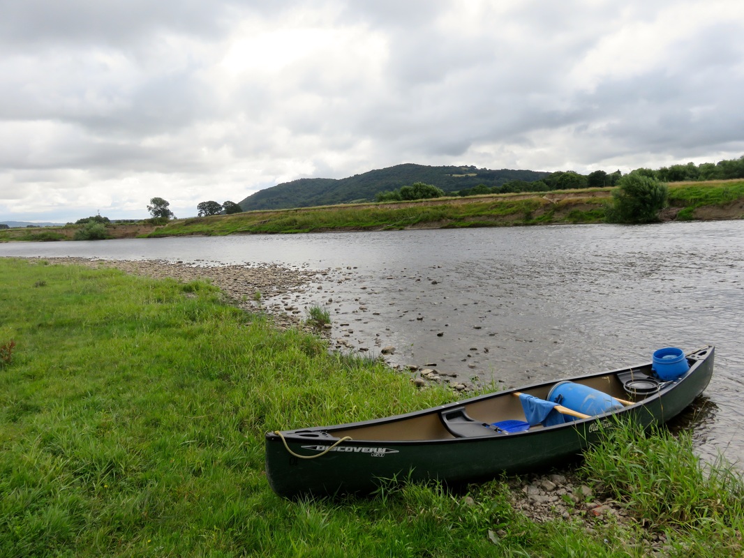
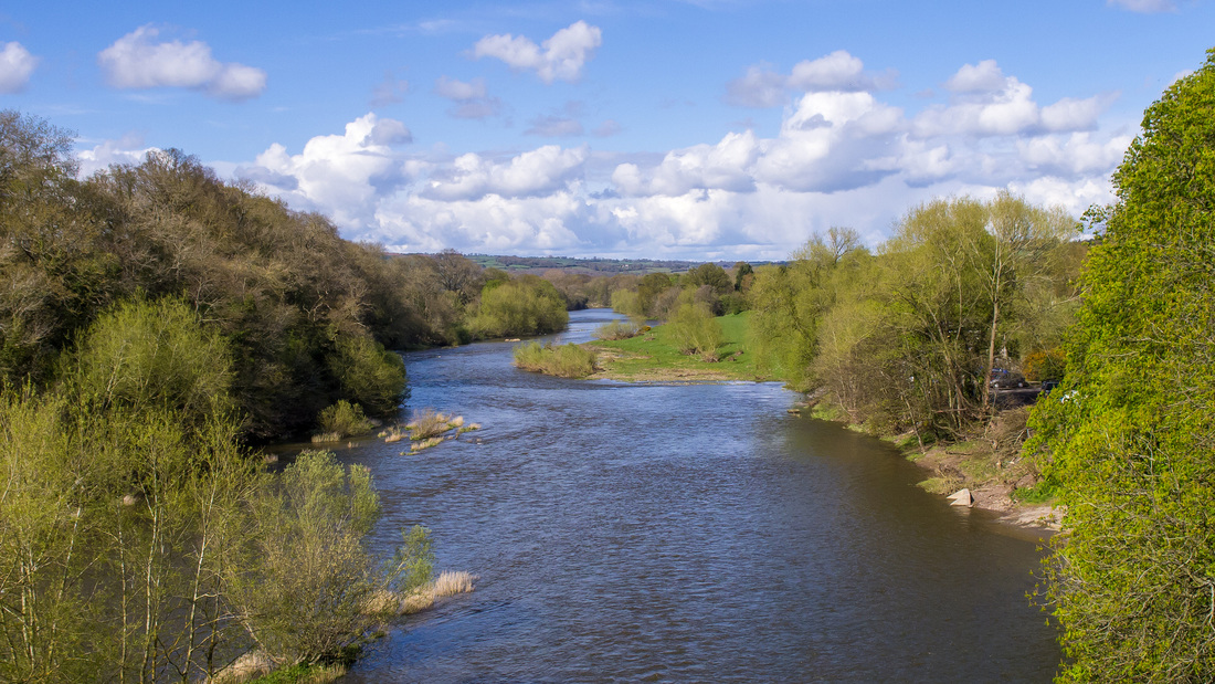
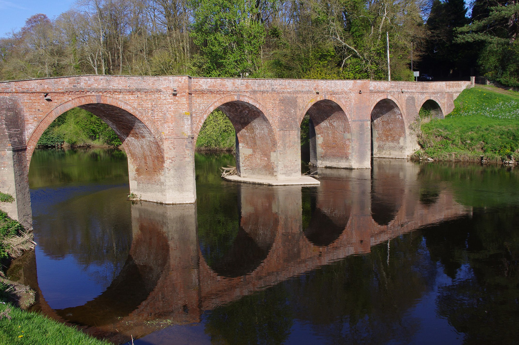
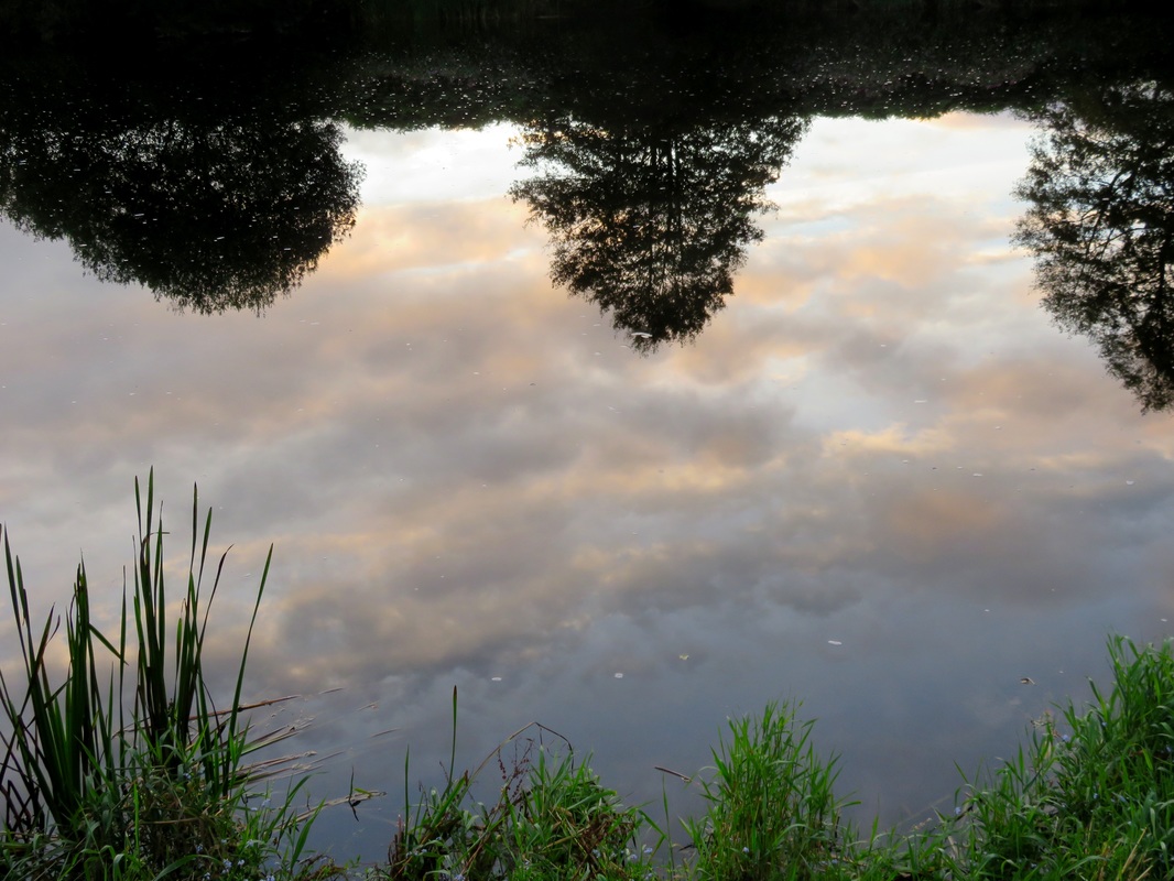
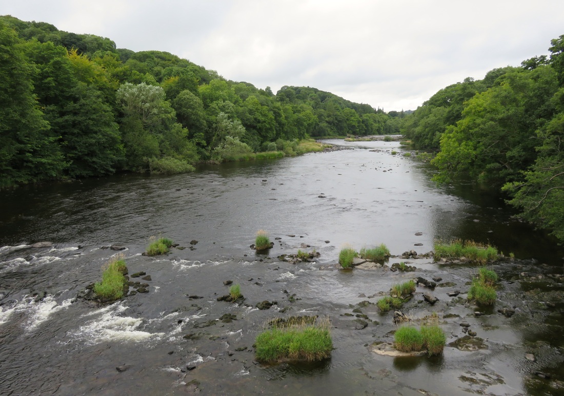
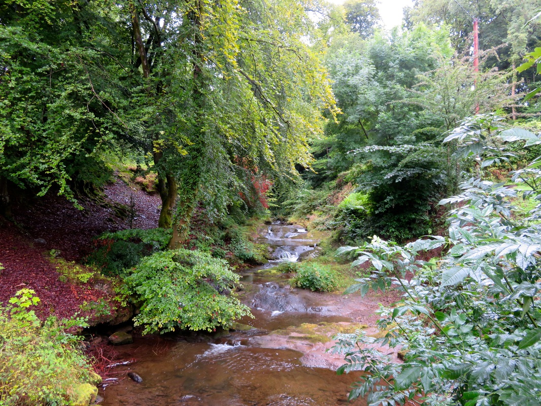
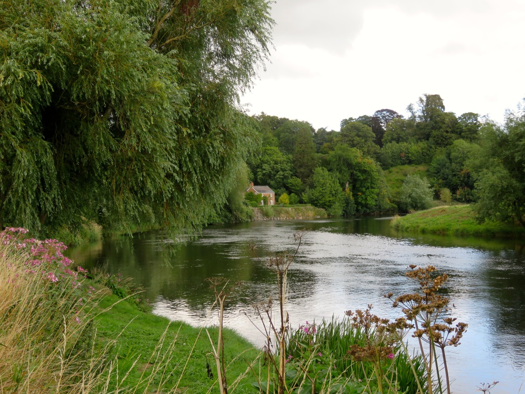
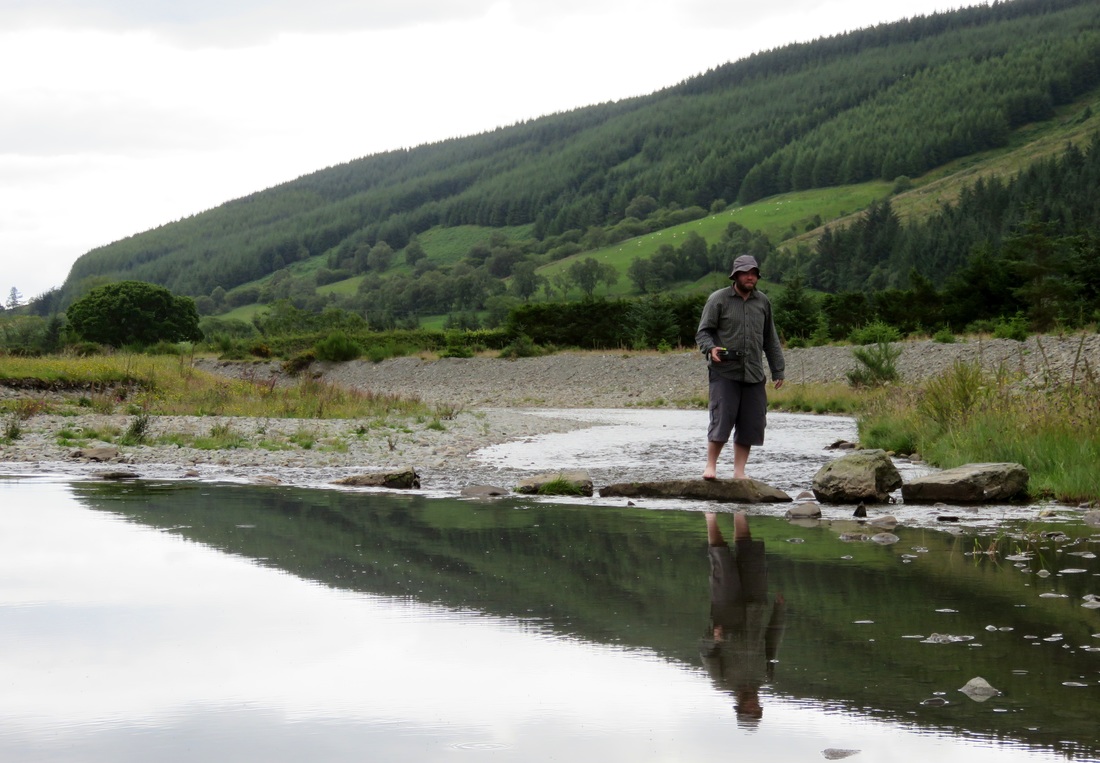
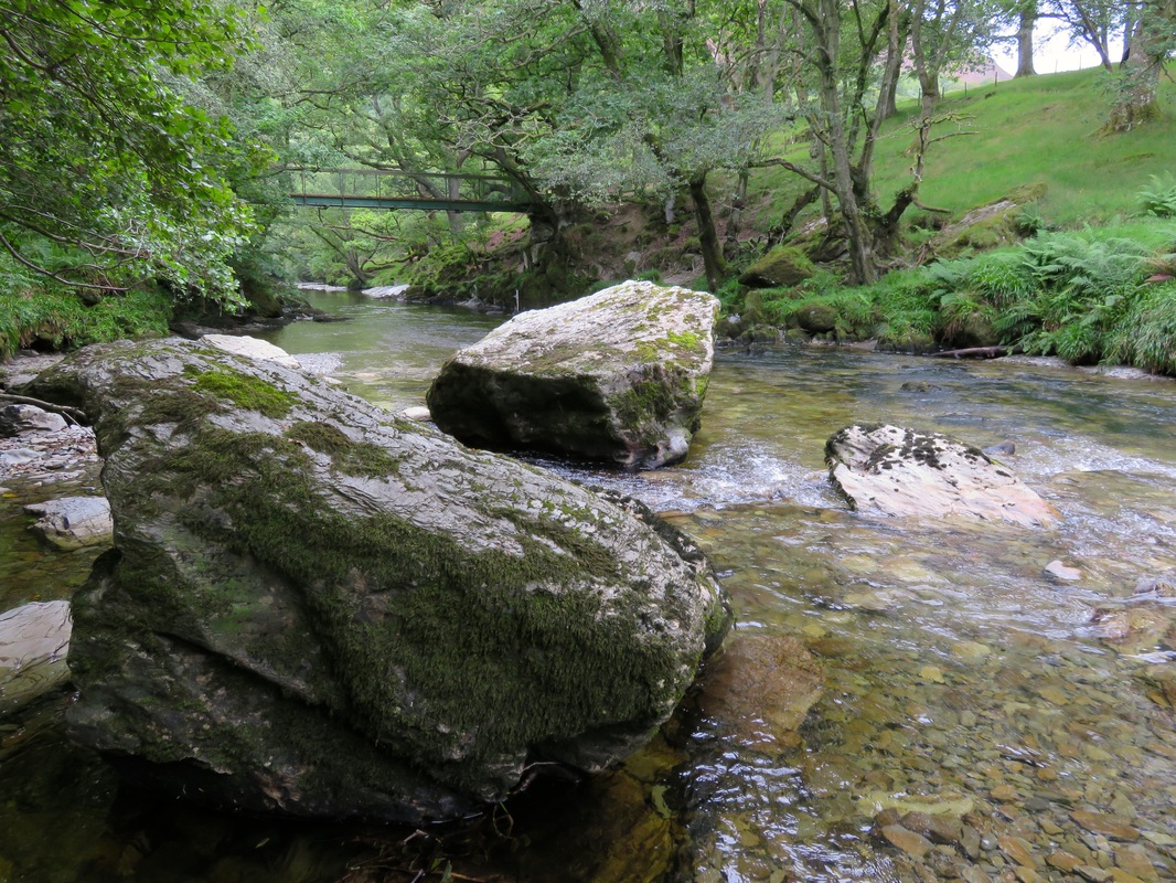
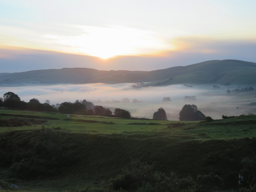
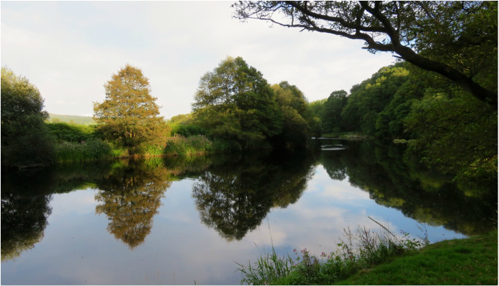
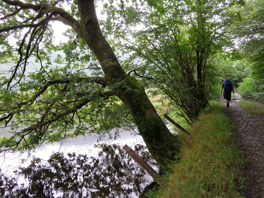
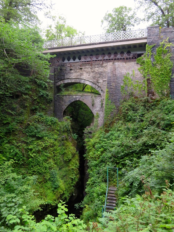
Another river that needed getting into, this one in Wiltshire.
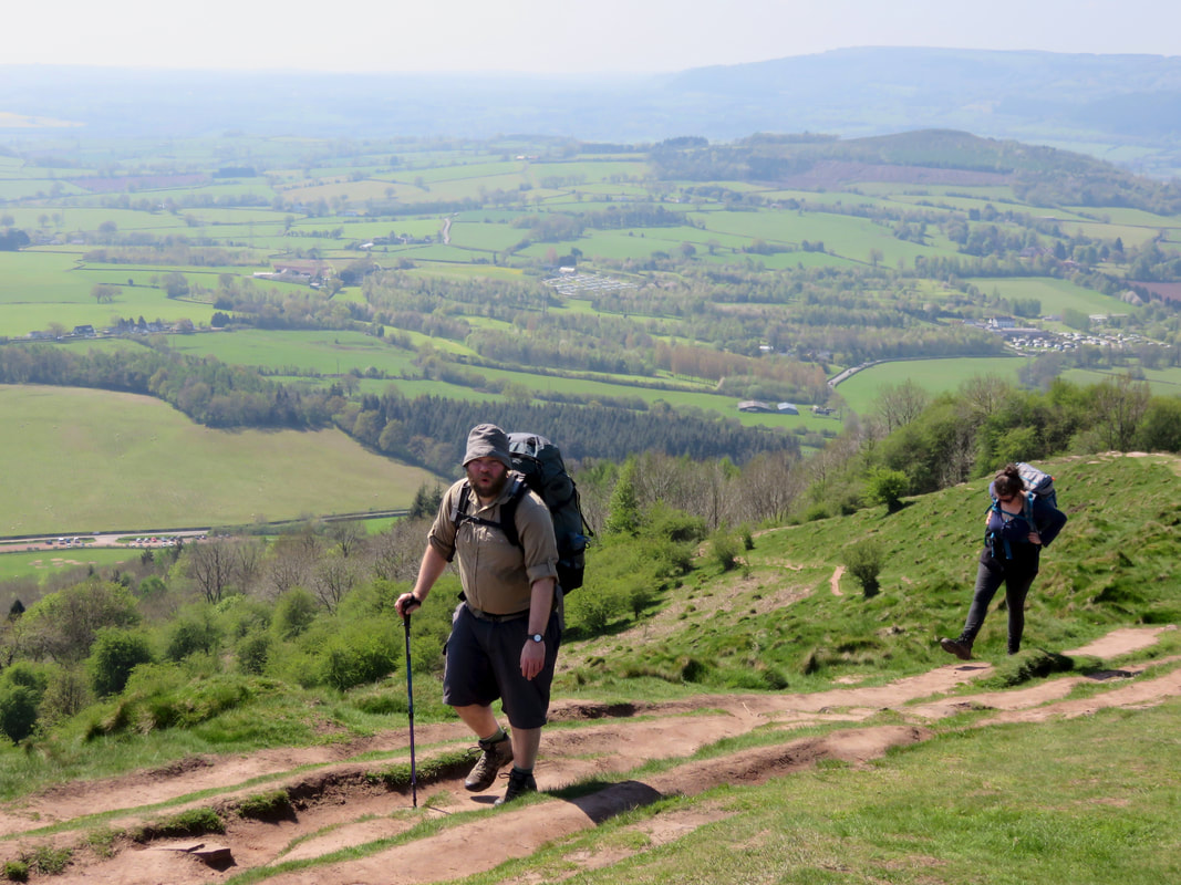
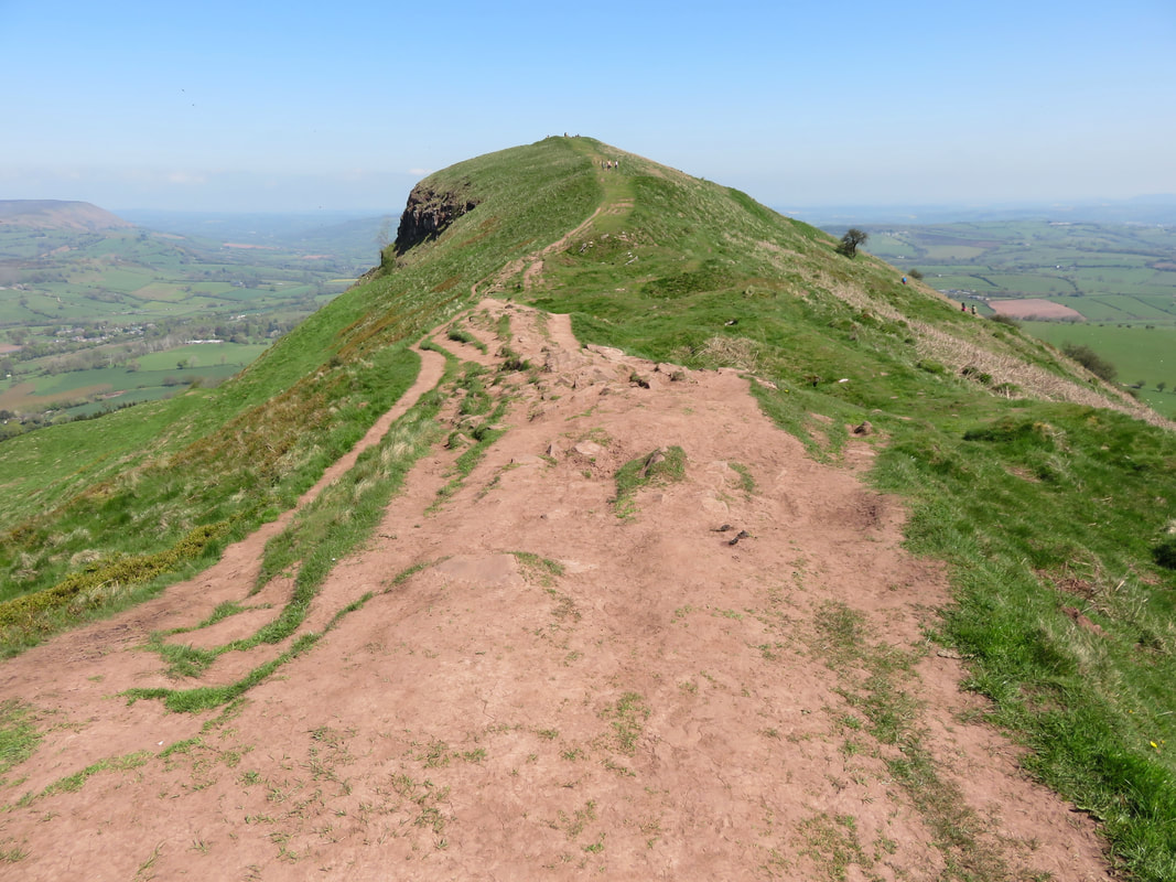
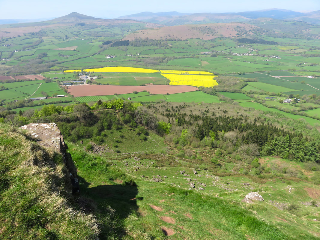
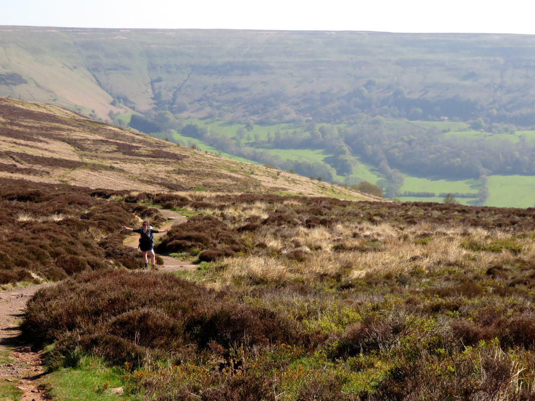
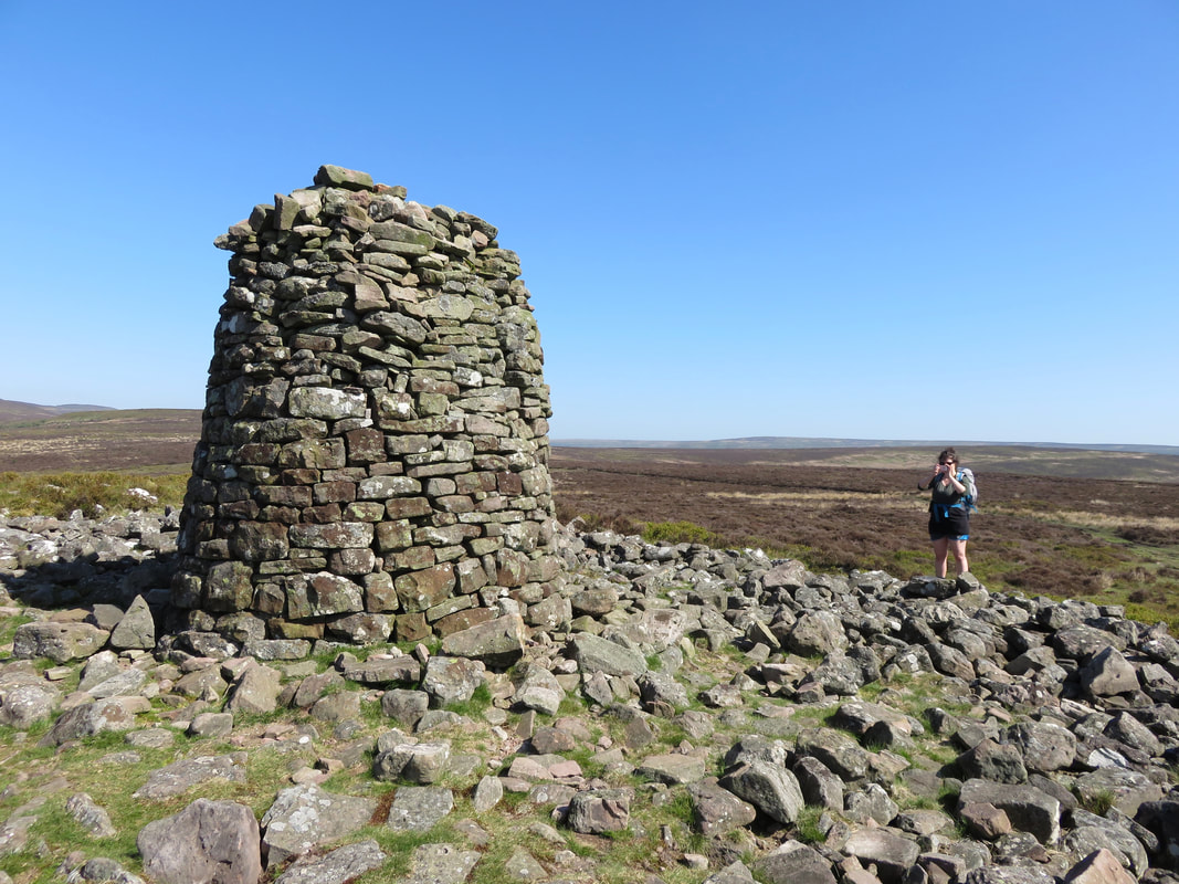
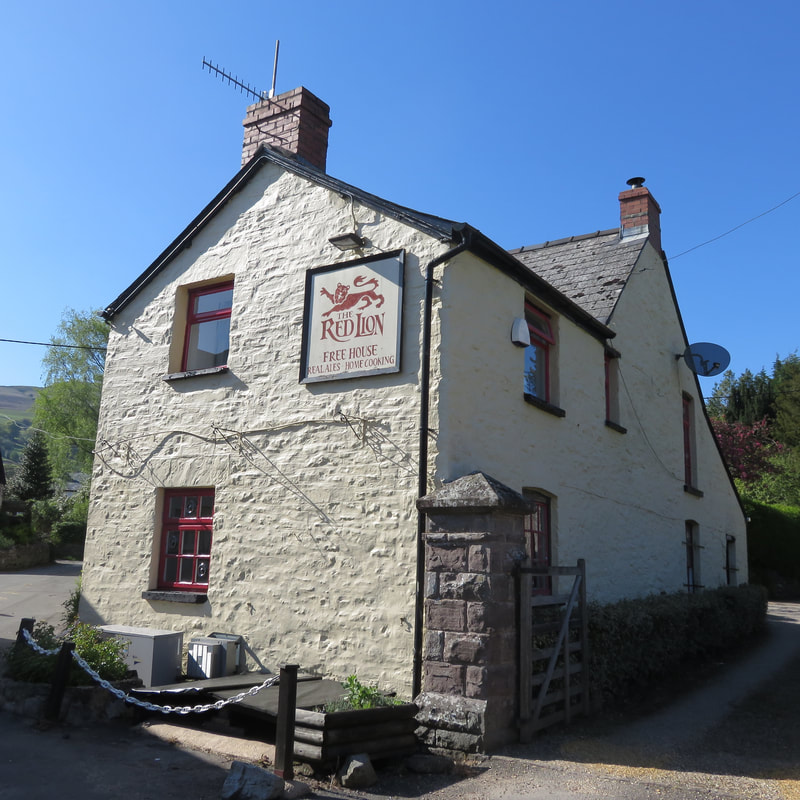
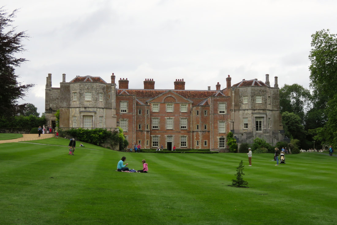
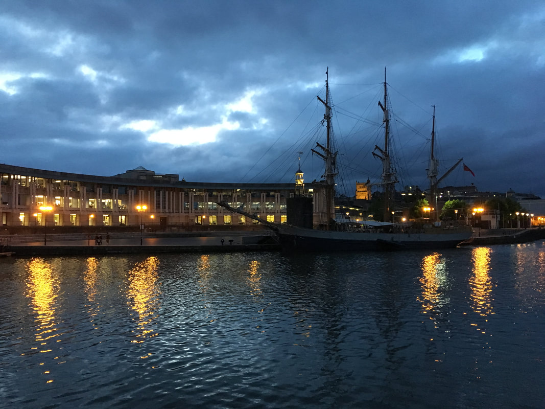
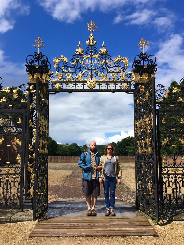
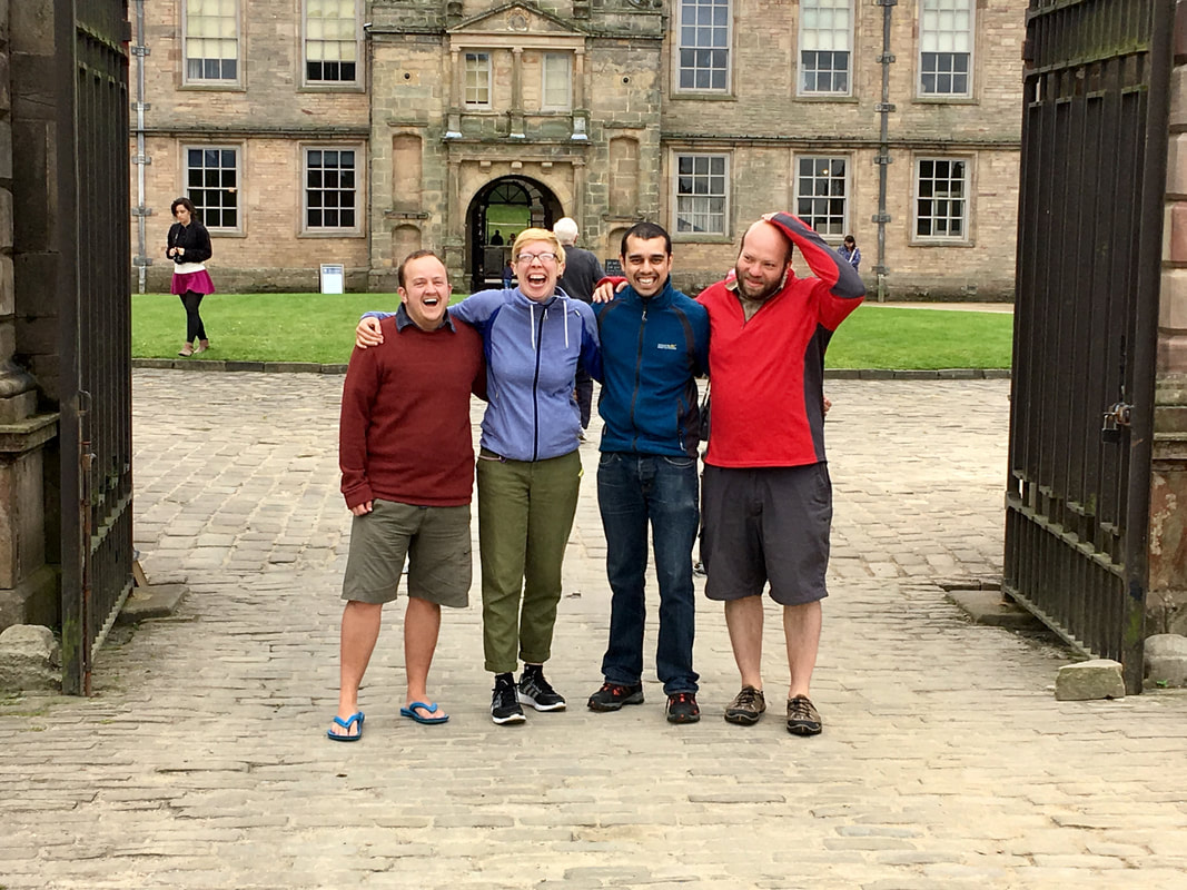
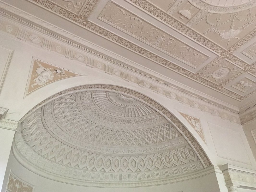
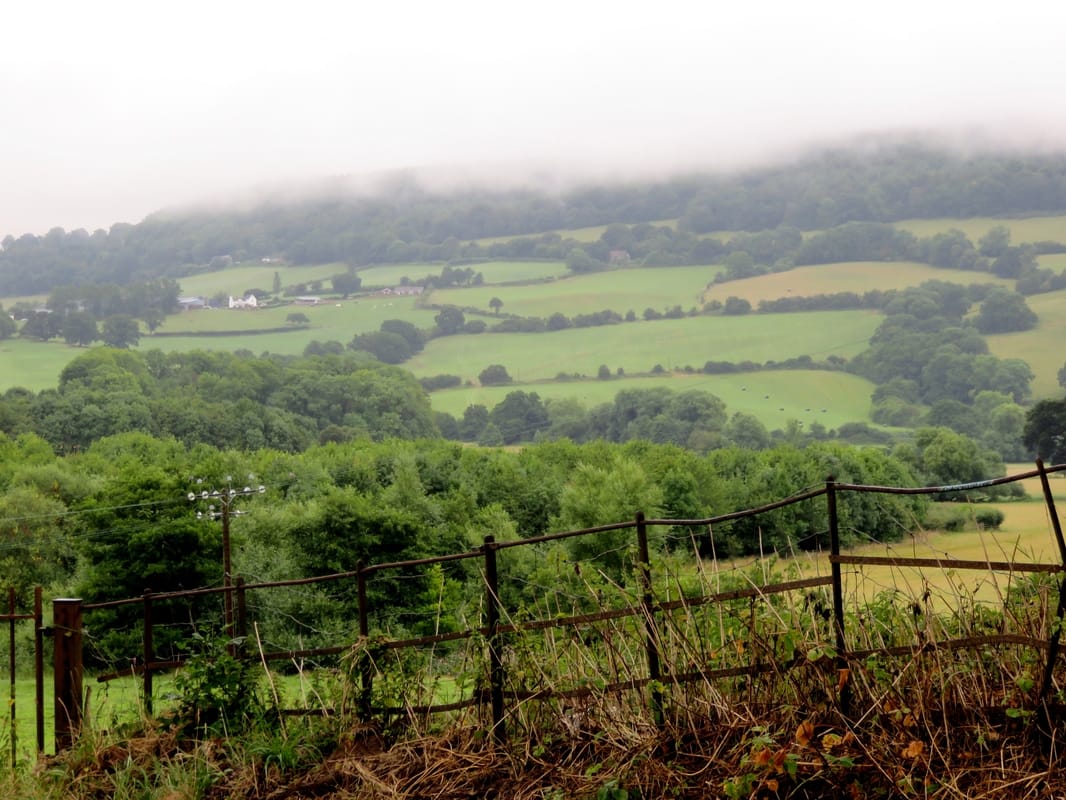
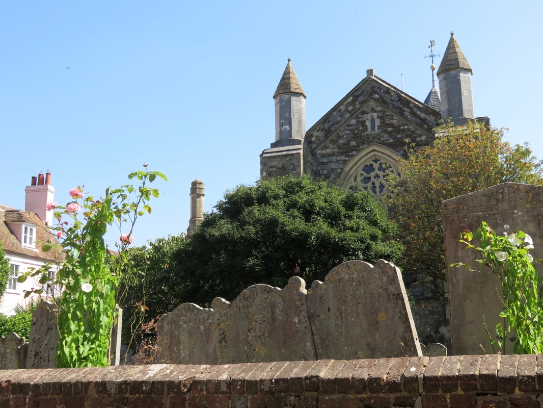
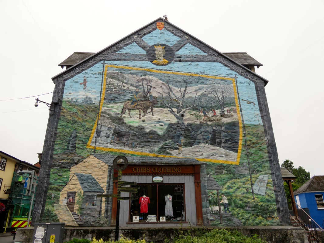
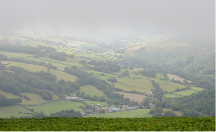
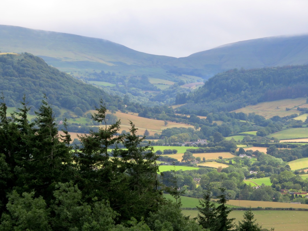
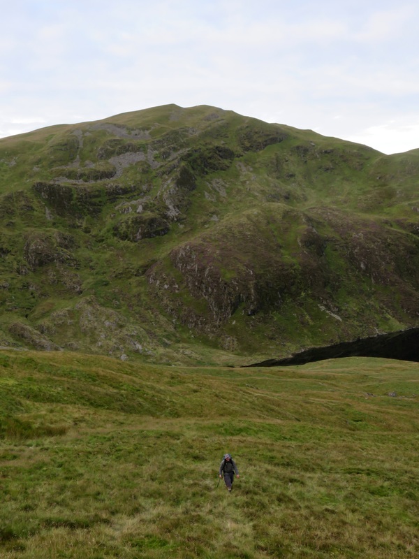
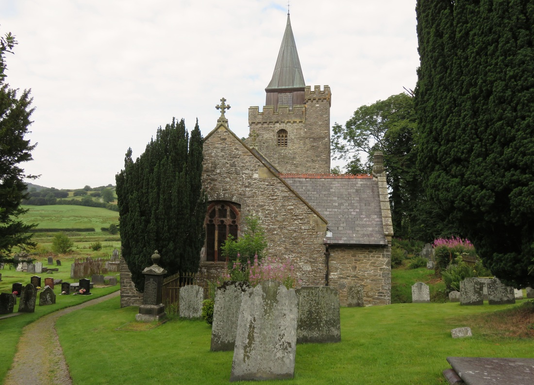
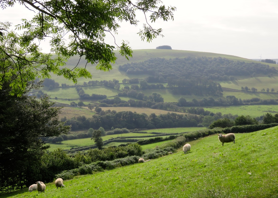
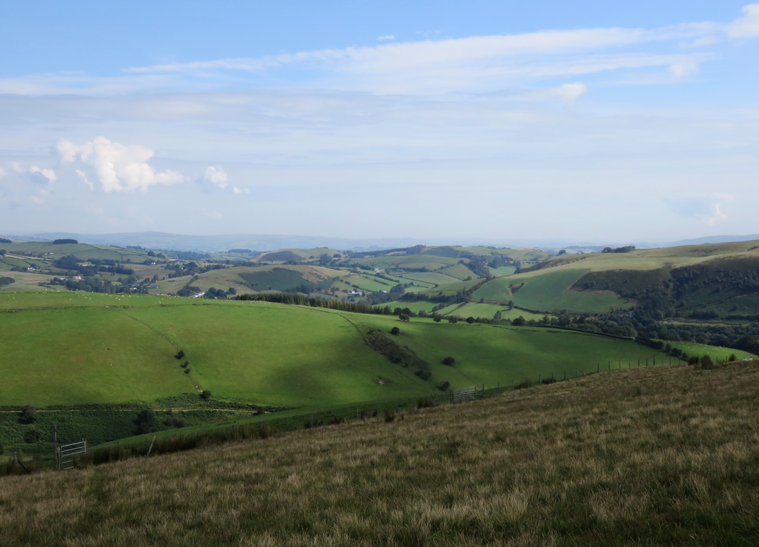
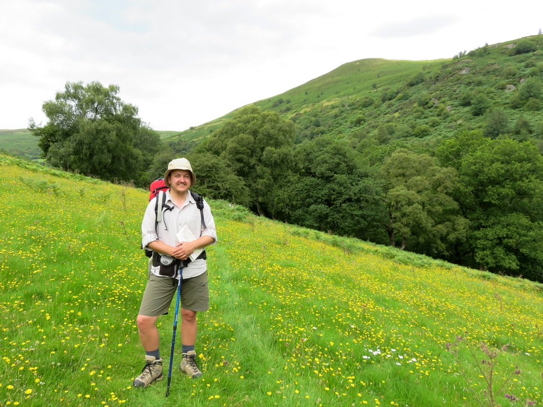
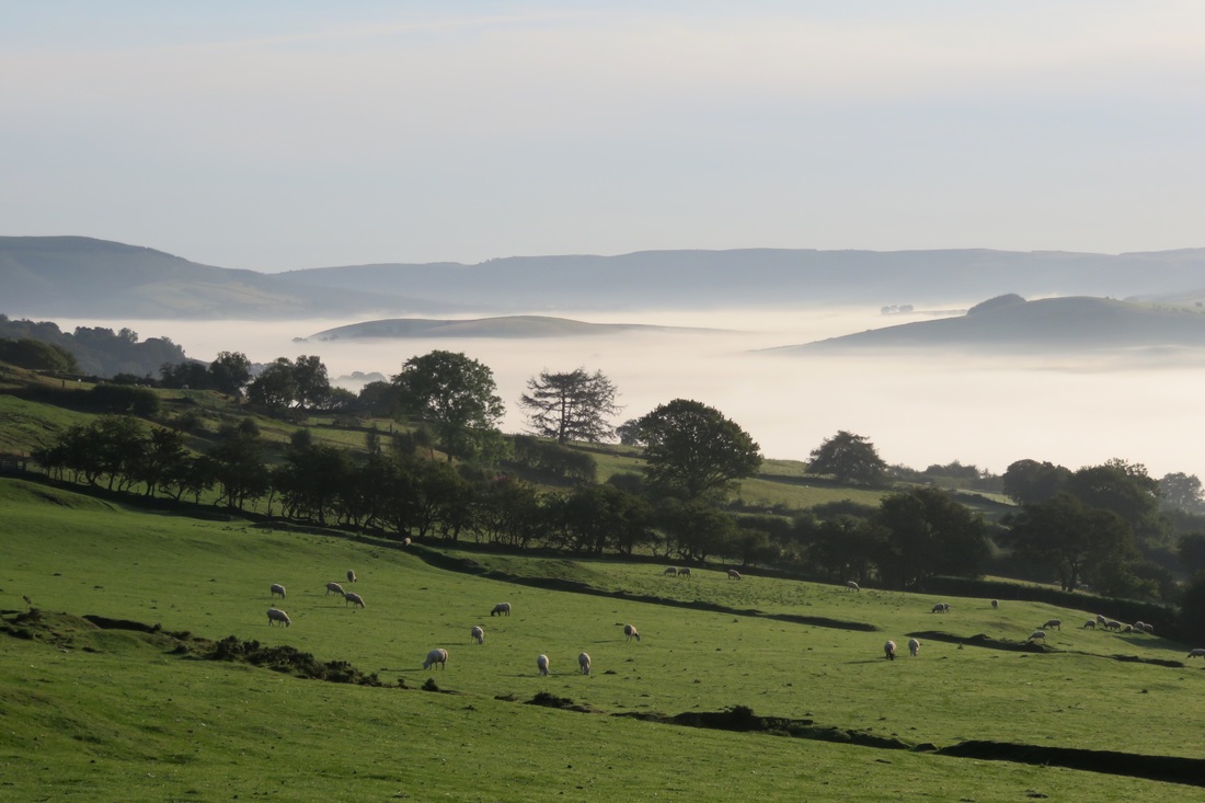
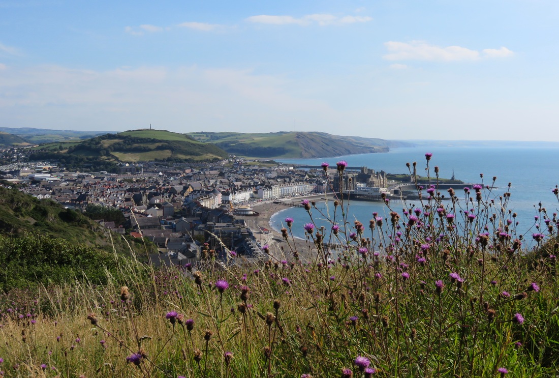
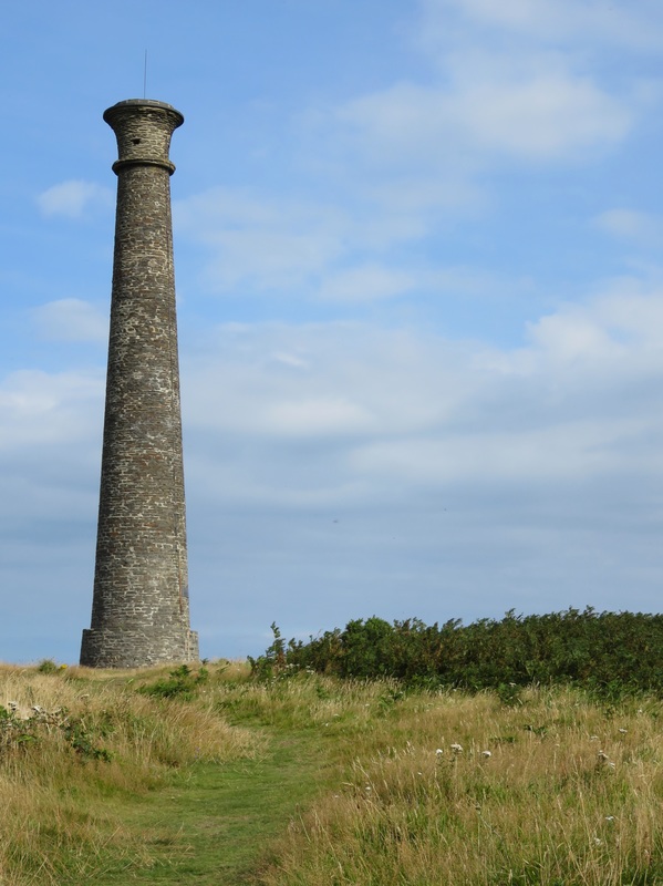
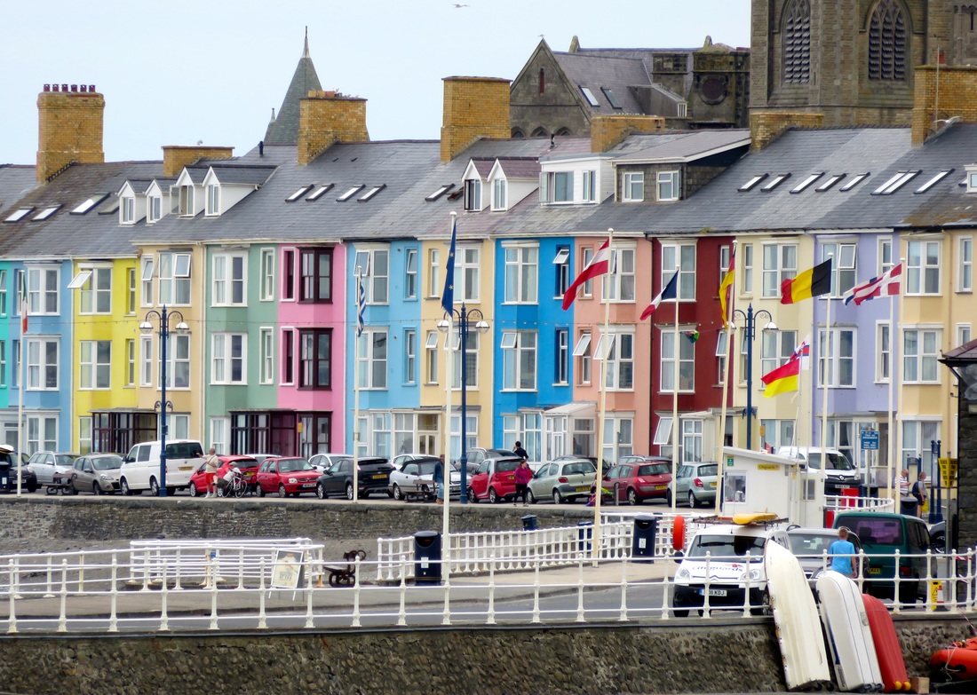
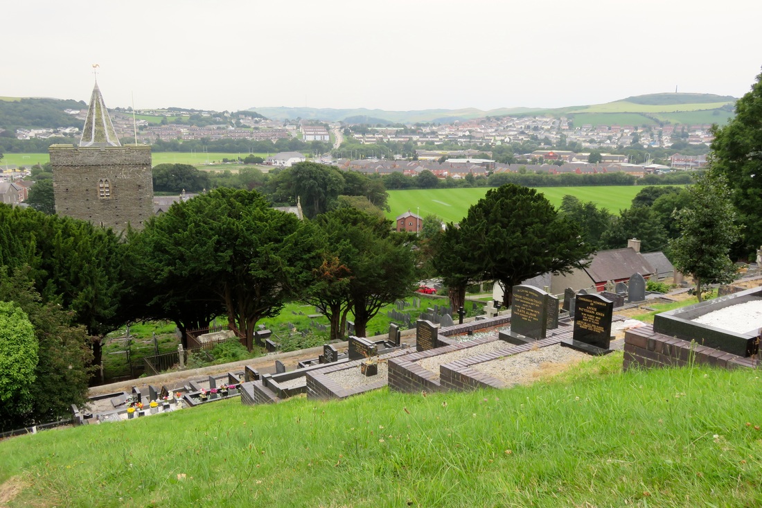
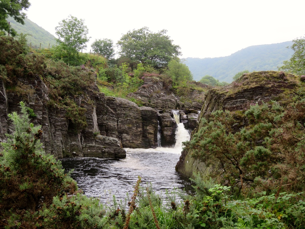
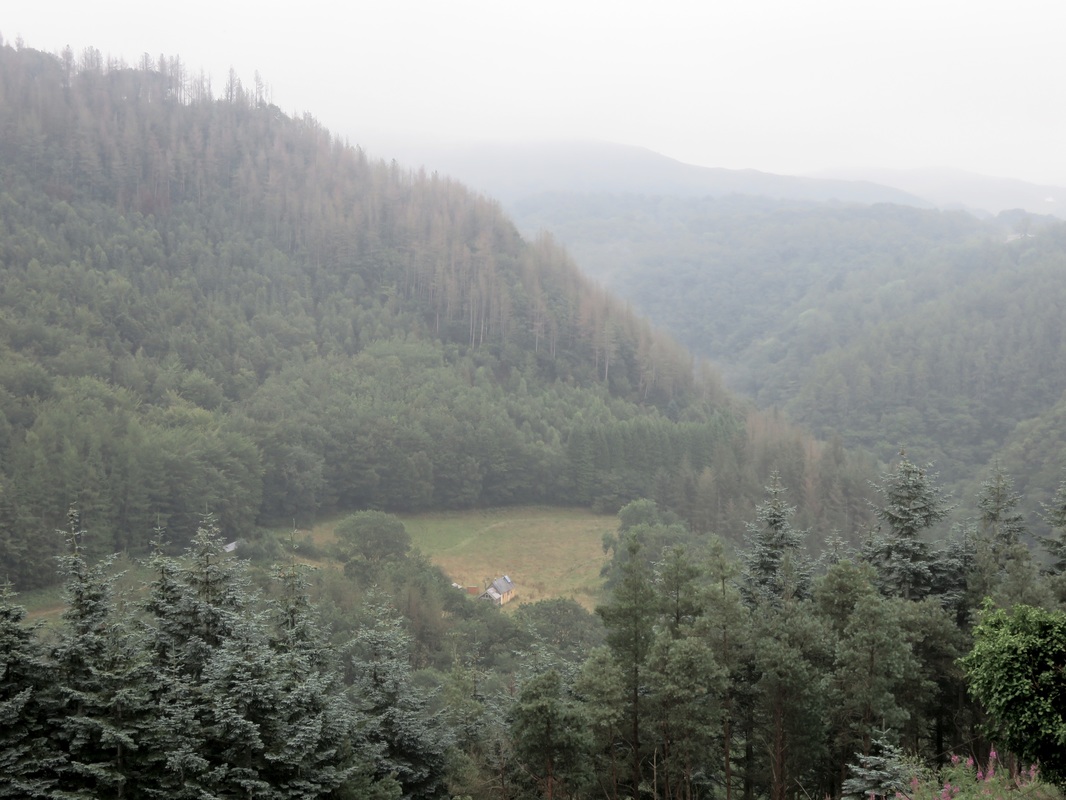
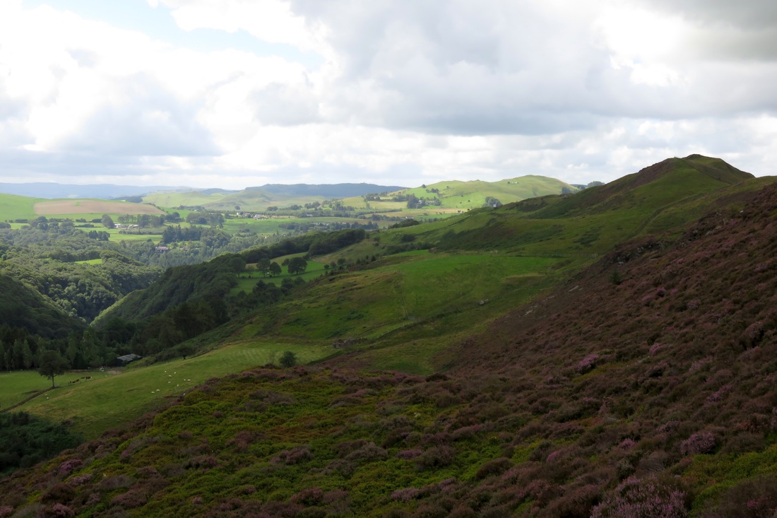
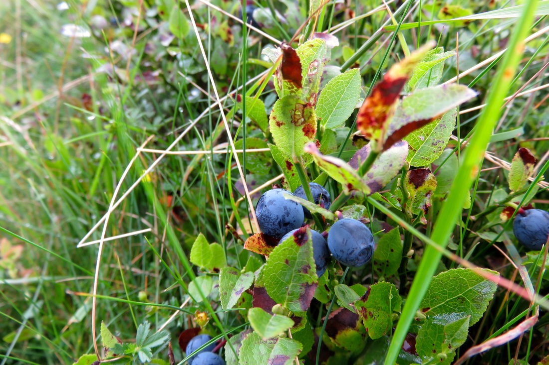
For the two weeks before that, we were hosting my sister from Australia, taking her walking in East Sussex, dropping in on National Trust places for a history fix, visiting London and blissing out with gorgeous hill walks, whimberry picking and a river dip under darkening skies (for me) in Wales. It’s been a good summer holiday, the biggest gift of which has been slowing down, doing one thing at a time, not trying to fit things in around other commitments.
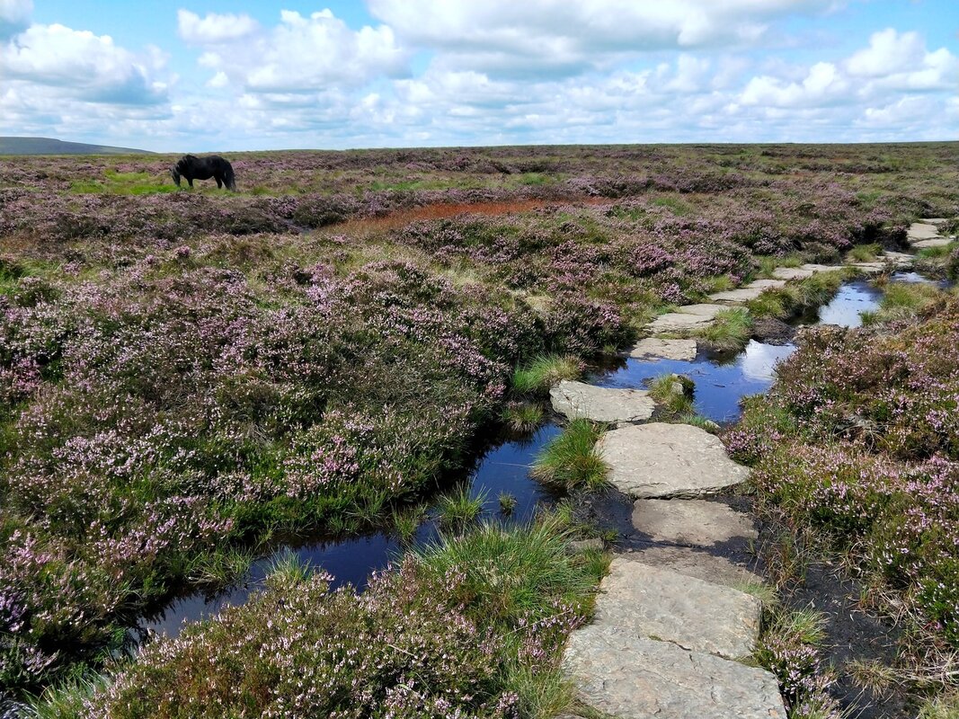
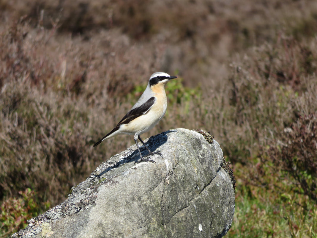
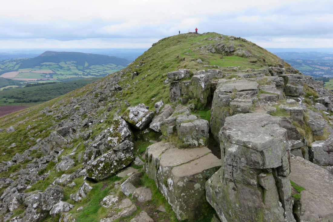
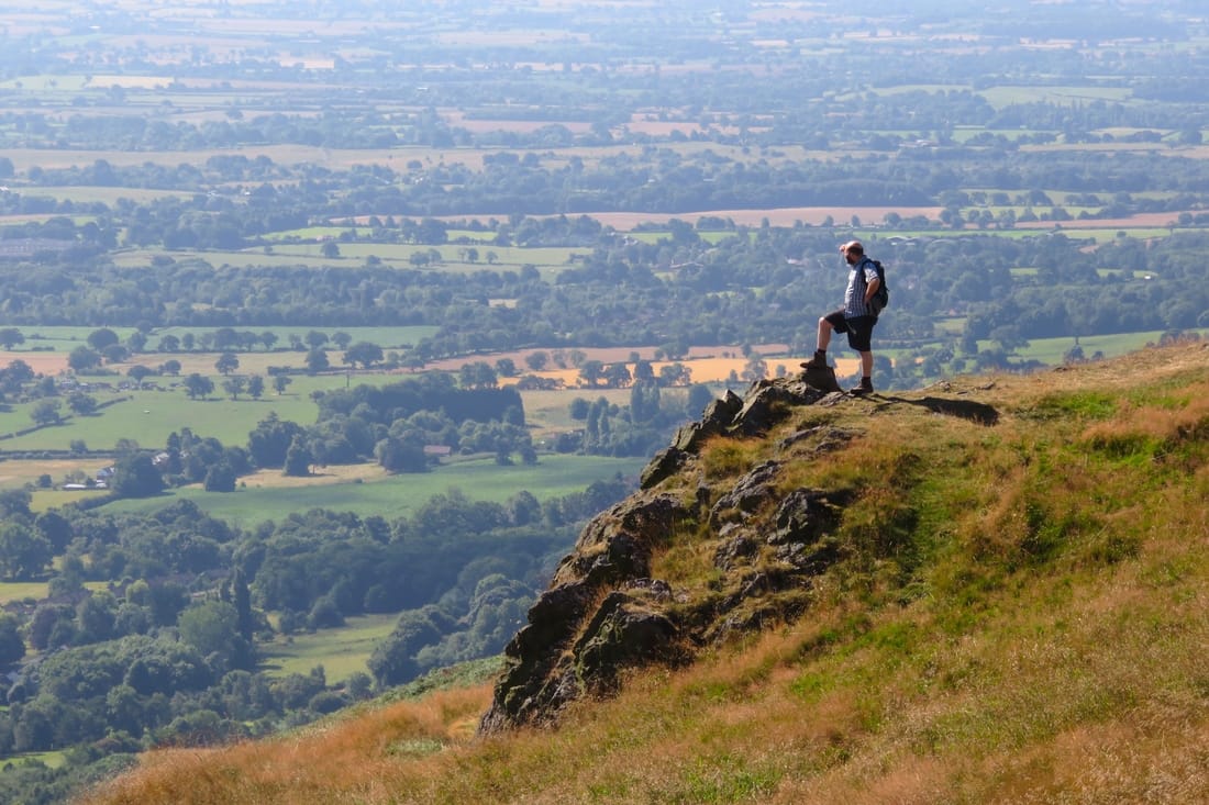
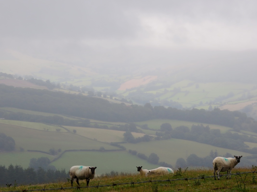
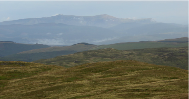
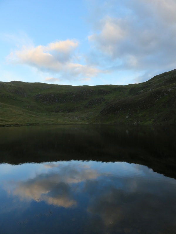
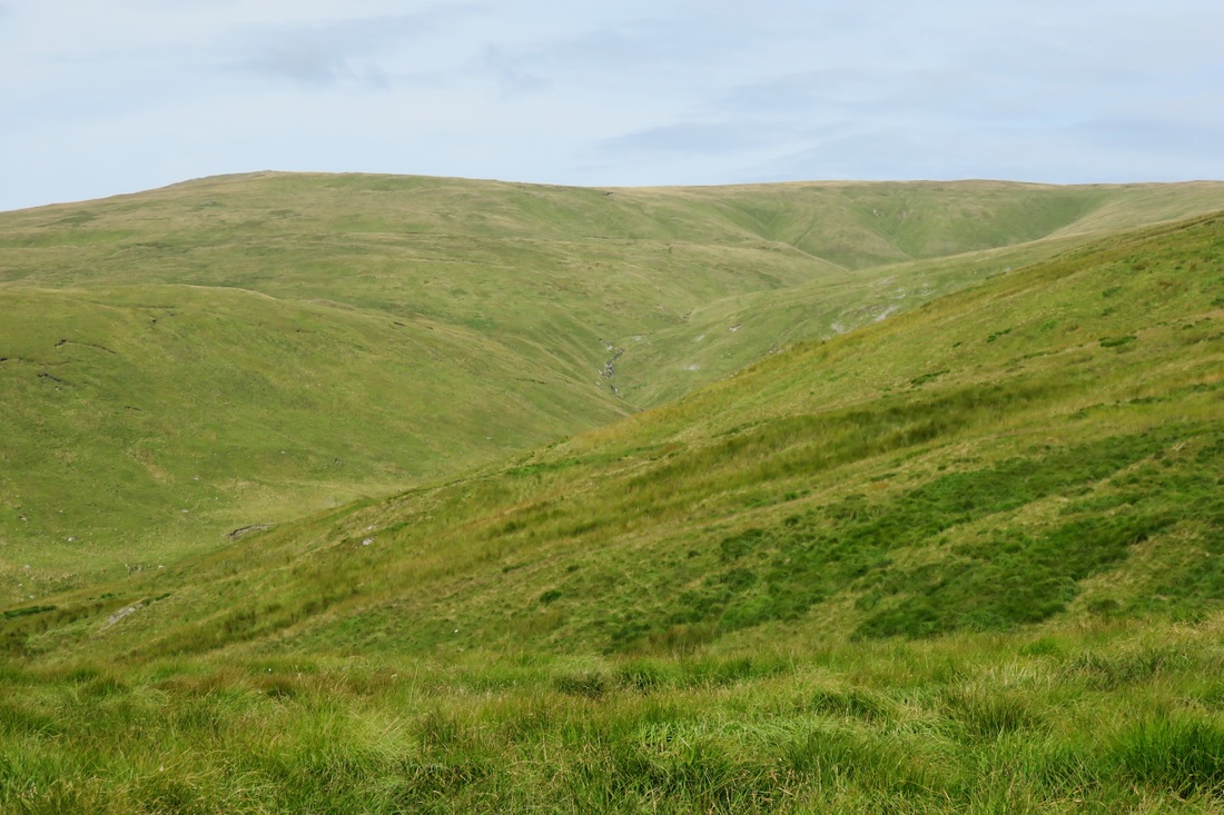
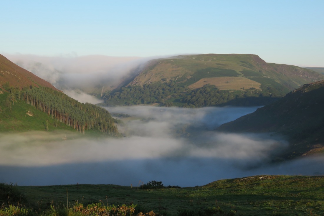
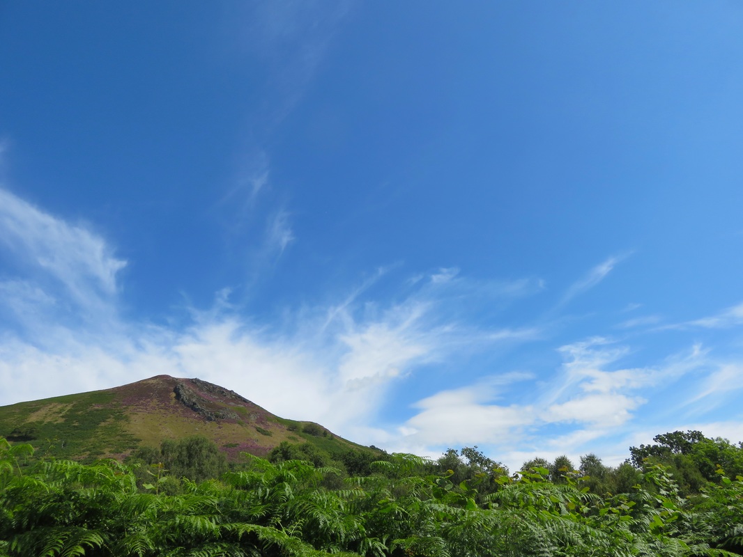
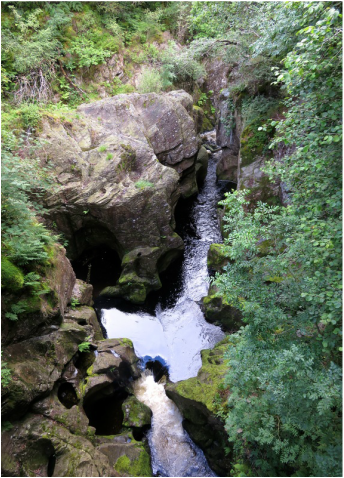
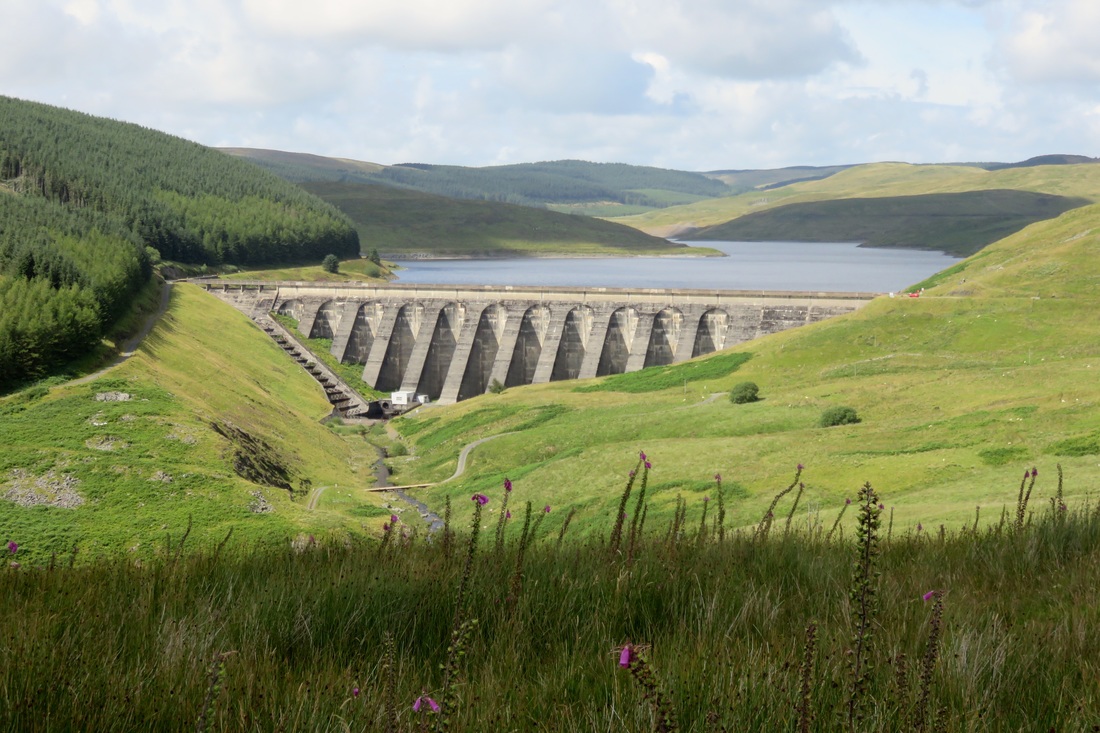
More water, this time at the top of a Welsh mountain. I didn't go for a swim here!
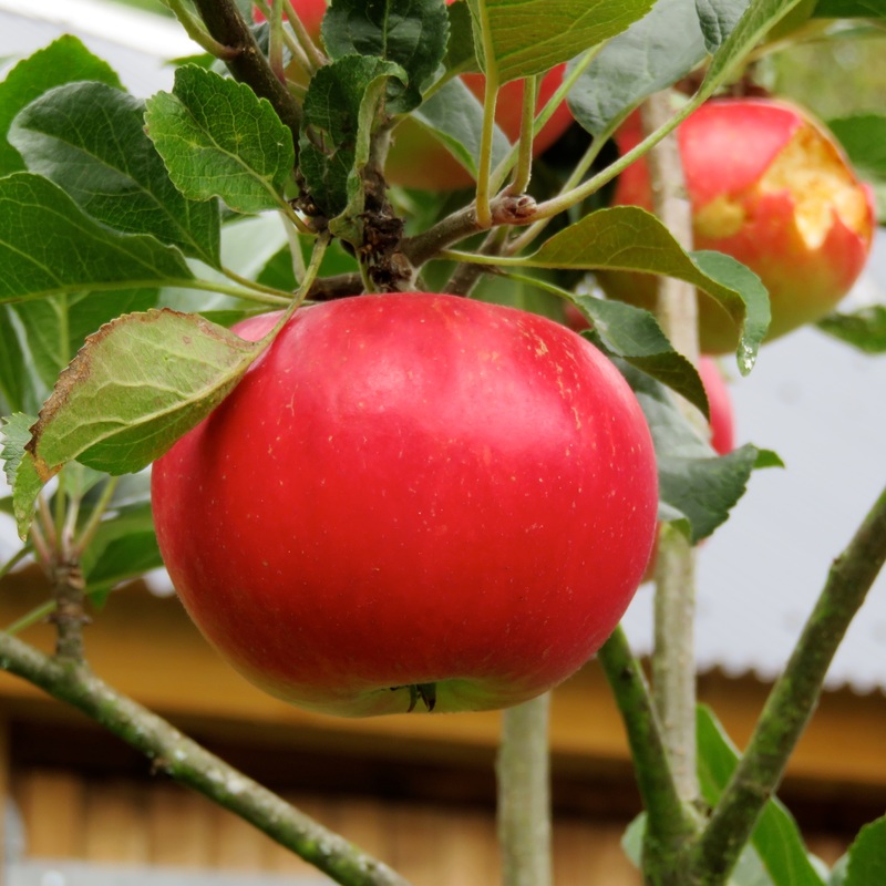
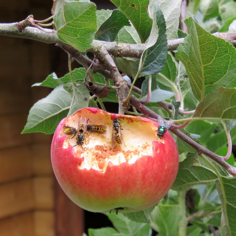
Looking out the window, I can see the rowan berries are hanging scarlet and the beech trees have set a golden fire in their topmost leaves. Along the roadsides, elders are drooping with berries and apples cast their fruit to the yellow grasses. The latest generation of robins is singing and families of other small birds are feasting at our neighbours’ feeders. Local friends are foisting excess produce from gardens and allotments onto whoever will take it - beans, zucchinis, a handful of potatoes. Early autumn is as beautiful as late summer - perhaps even more so, in its bounty and colour.
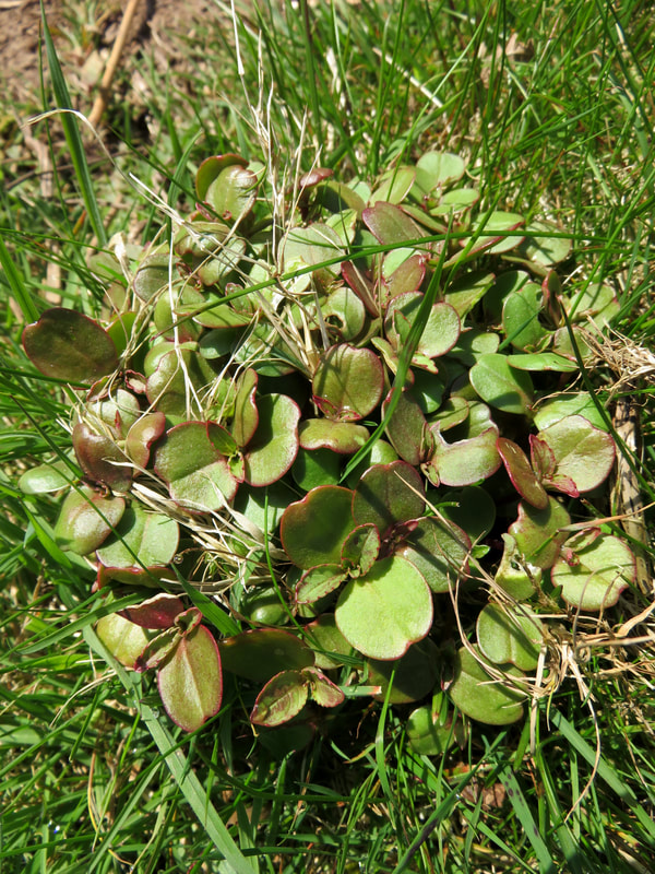
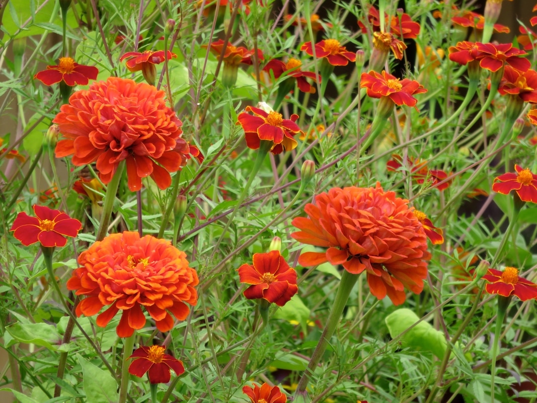
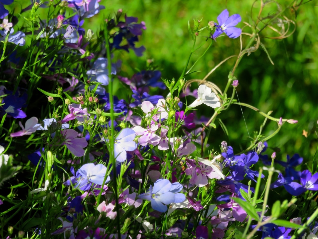
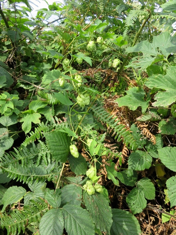
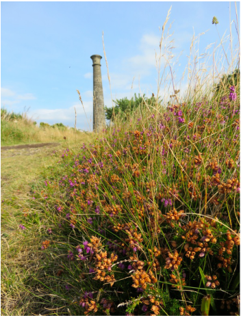
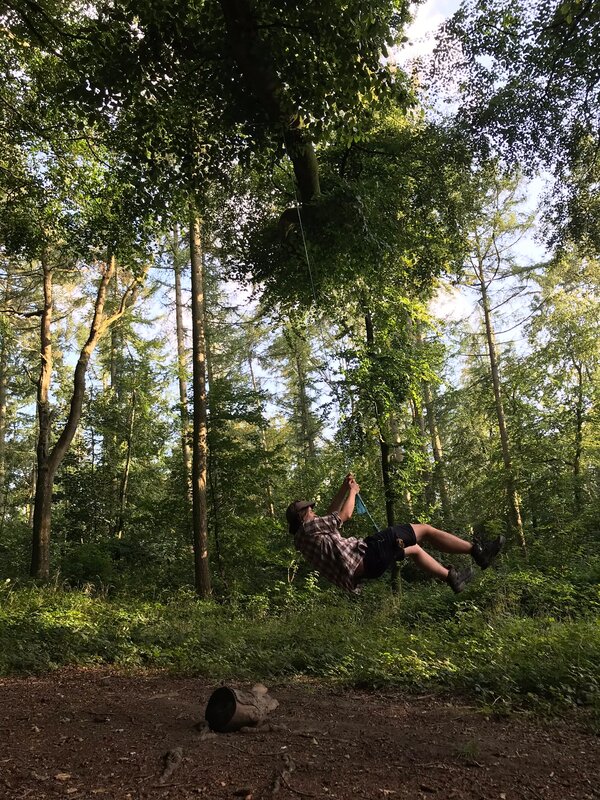 The swings aren't going to swing themselves. | 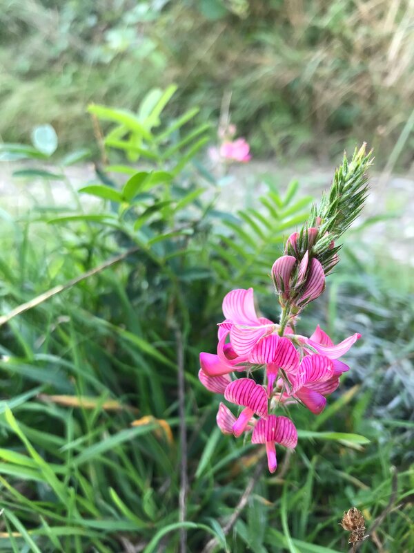 Can anyone ID this pretty flower? |
I have not blogged often over the last year or so, and it has felt like an obligation or a chore rather than a fun hobby. I recognise that I have unconsciously developed some entirely self-imposed rules about what a blog post should be, how many words, how many photos, how much structure, and - most stiflingly - how “important” an event needs to be to blog about it.
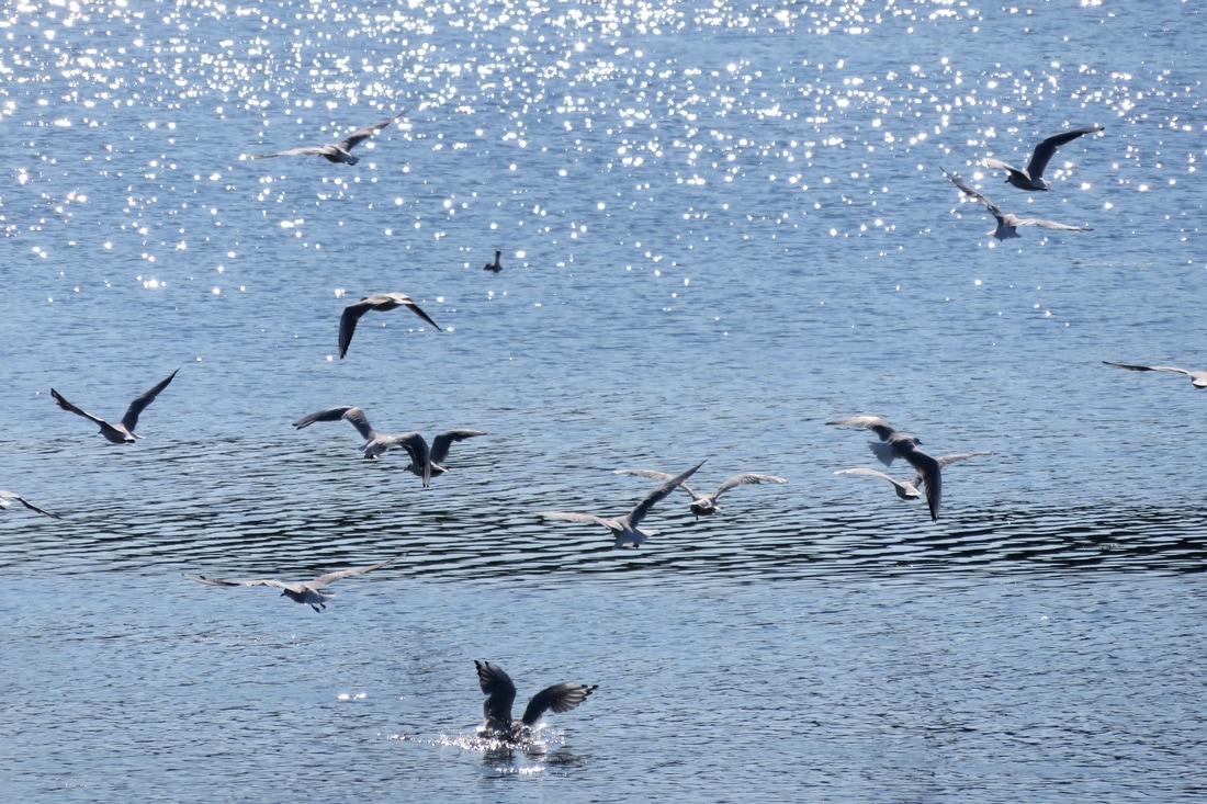
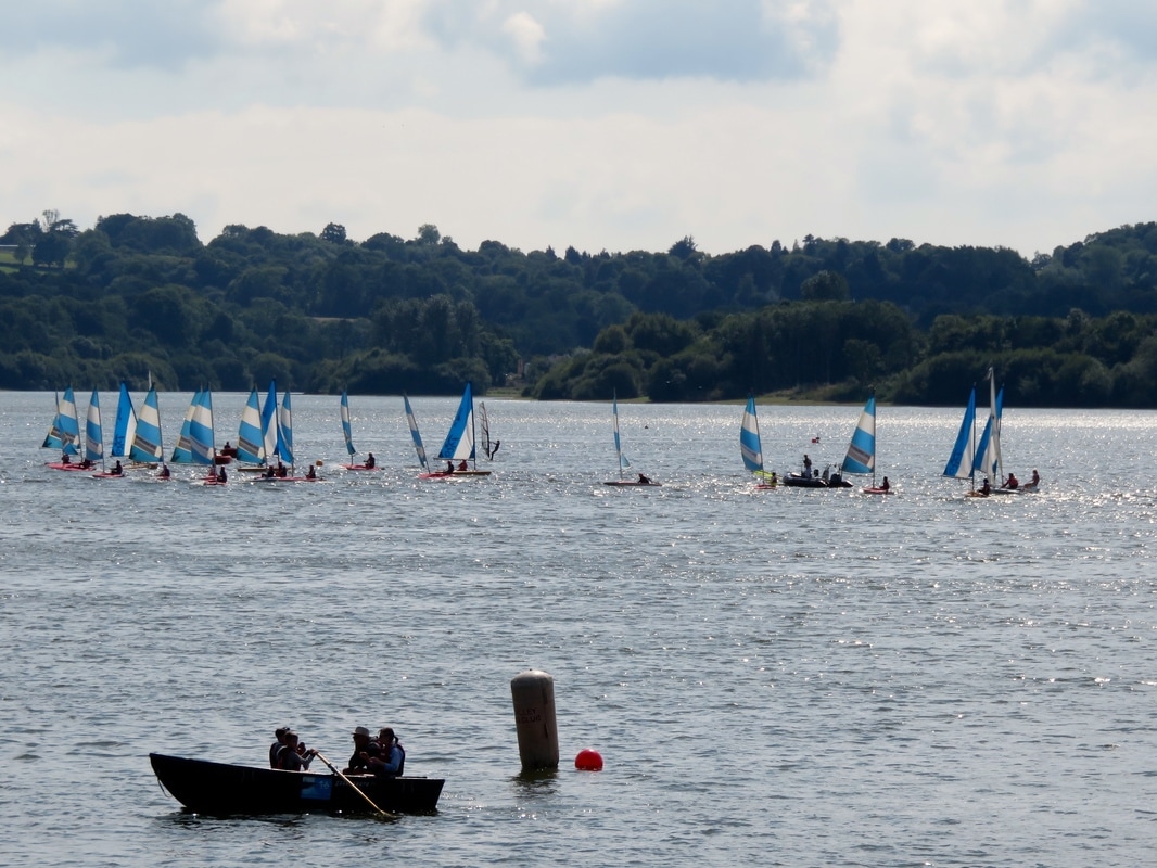
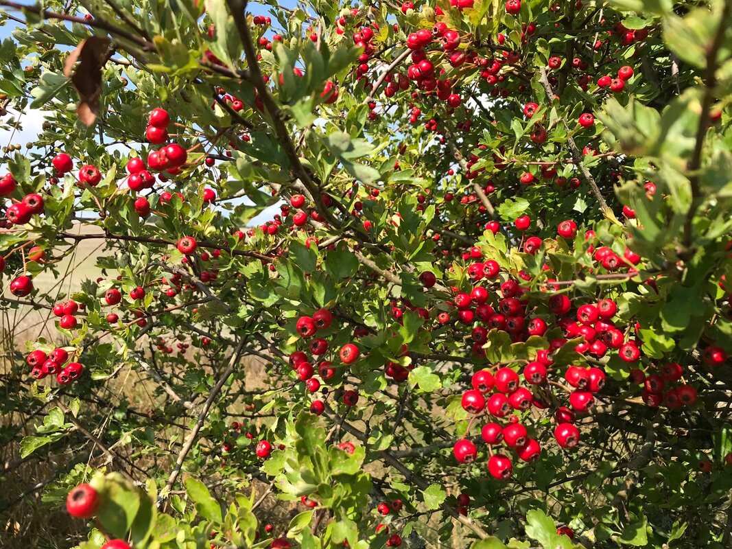 Hawthorn, looking brilliant. | 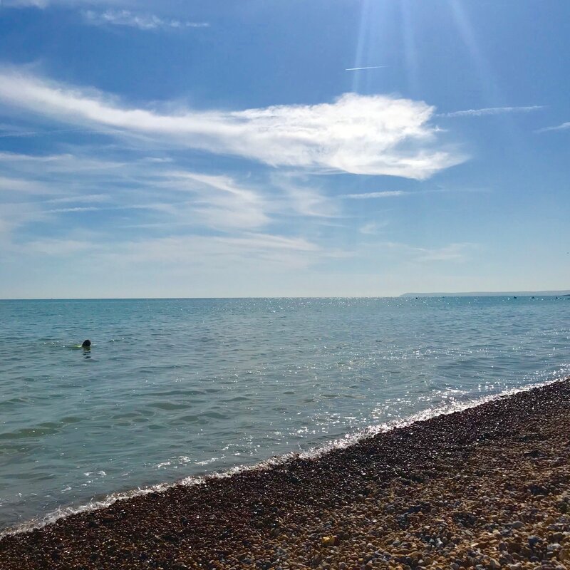 Me and the sea (and some kayakers?) |
I hope that as the seasons quicken, as trees bear fruit and let go, colour their leaves and let go, that I will be able to emulate this. To let go of unhelpful patterns and reflect on some smaller delights of life.
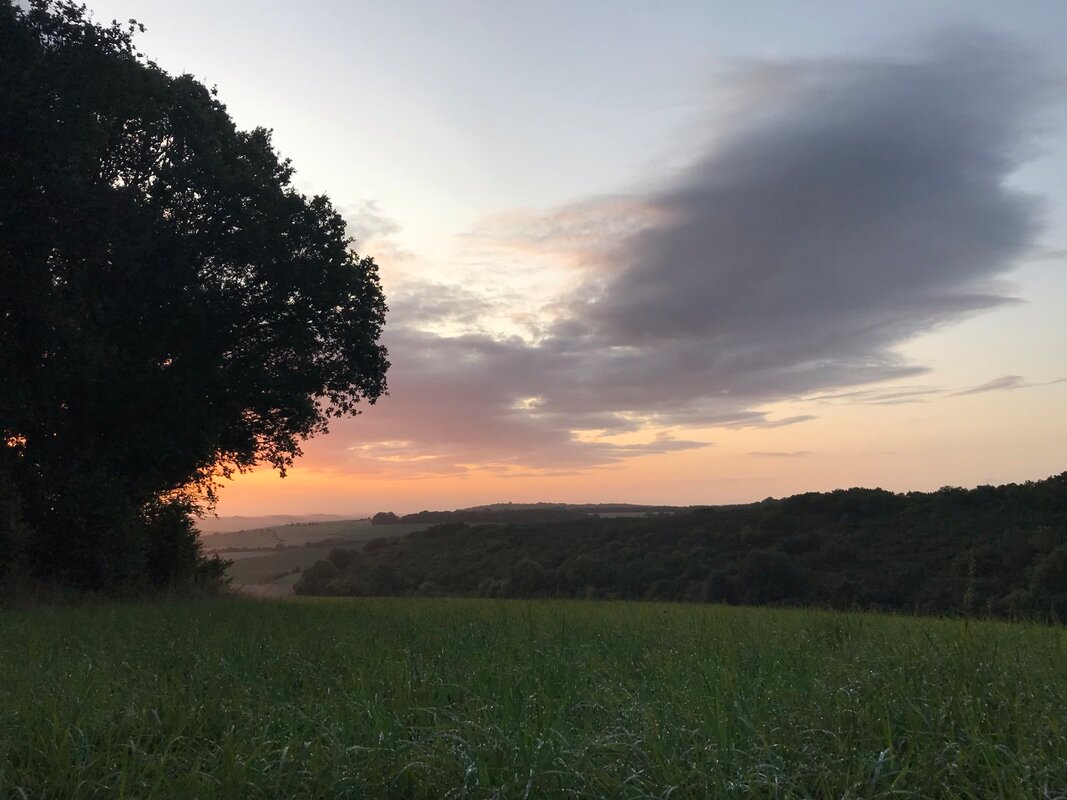
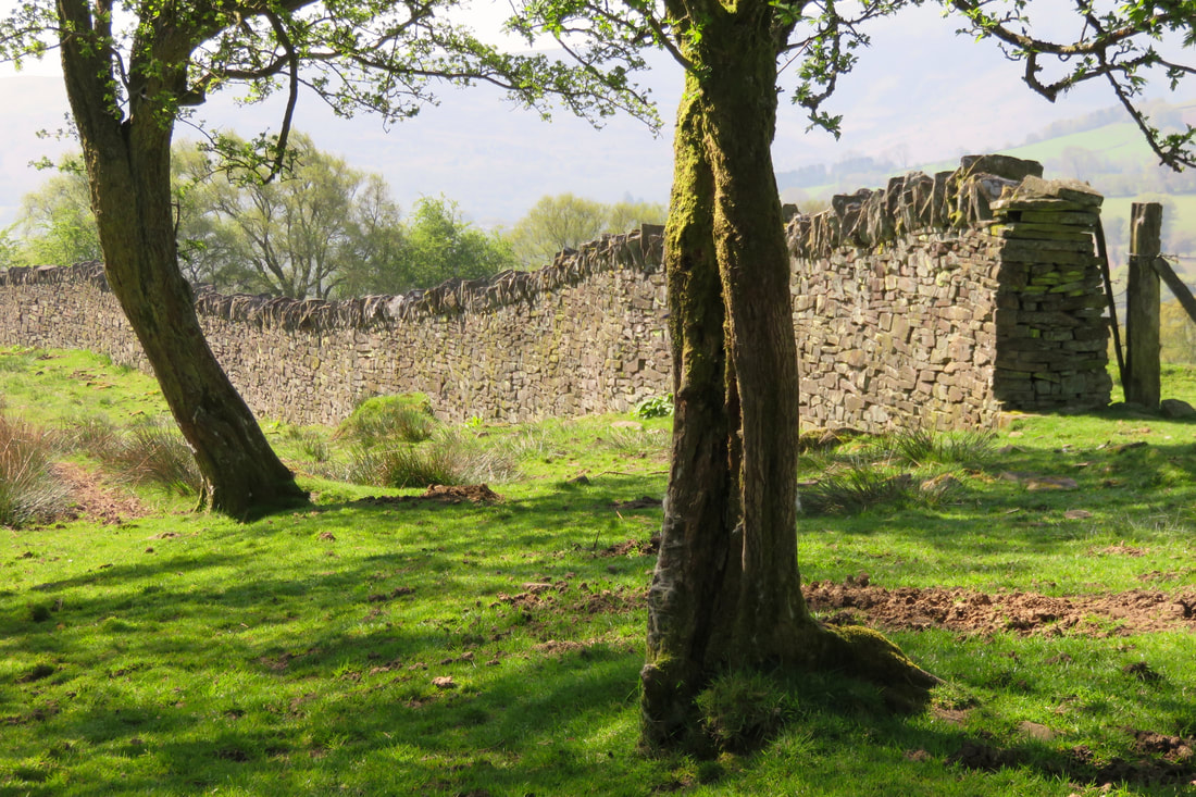
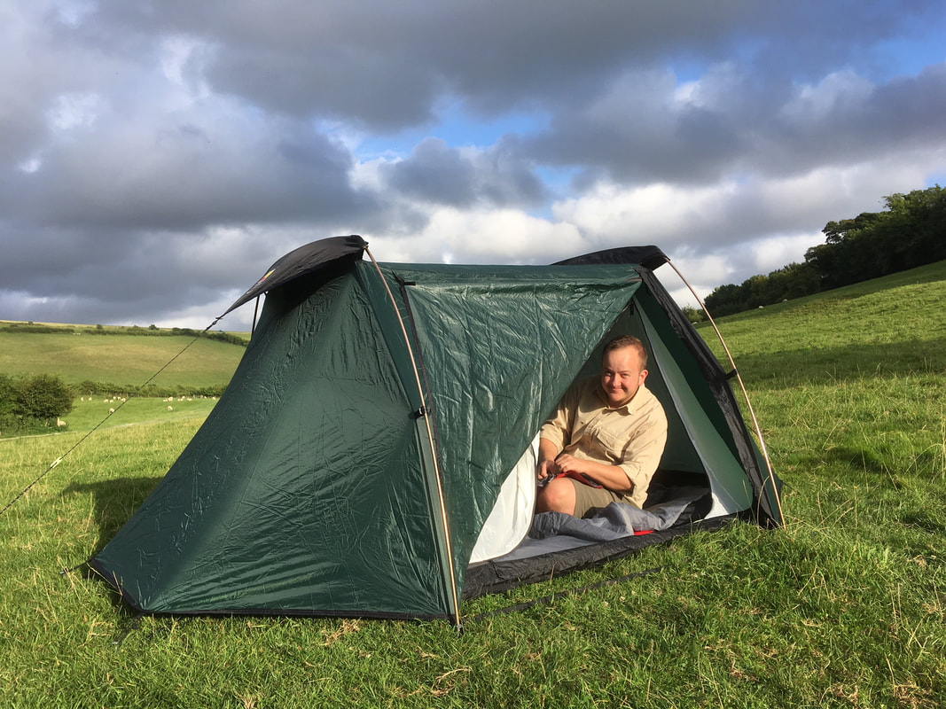
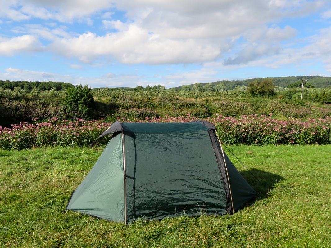
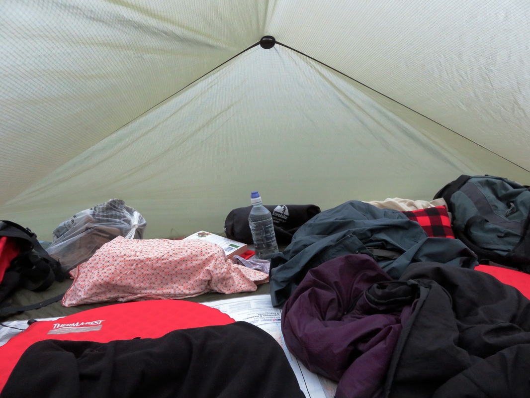
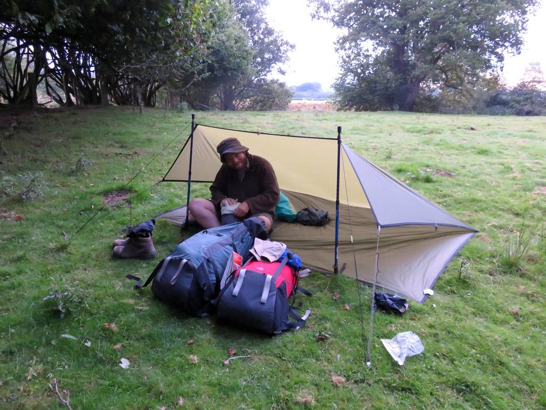
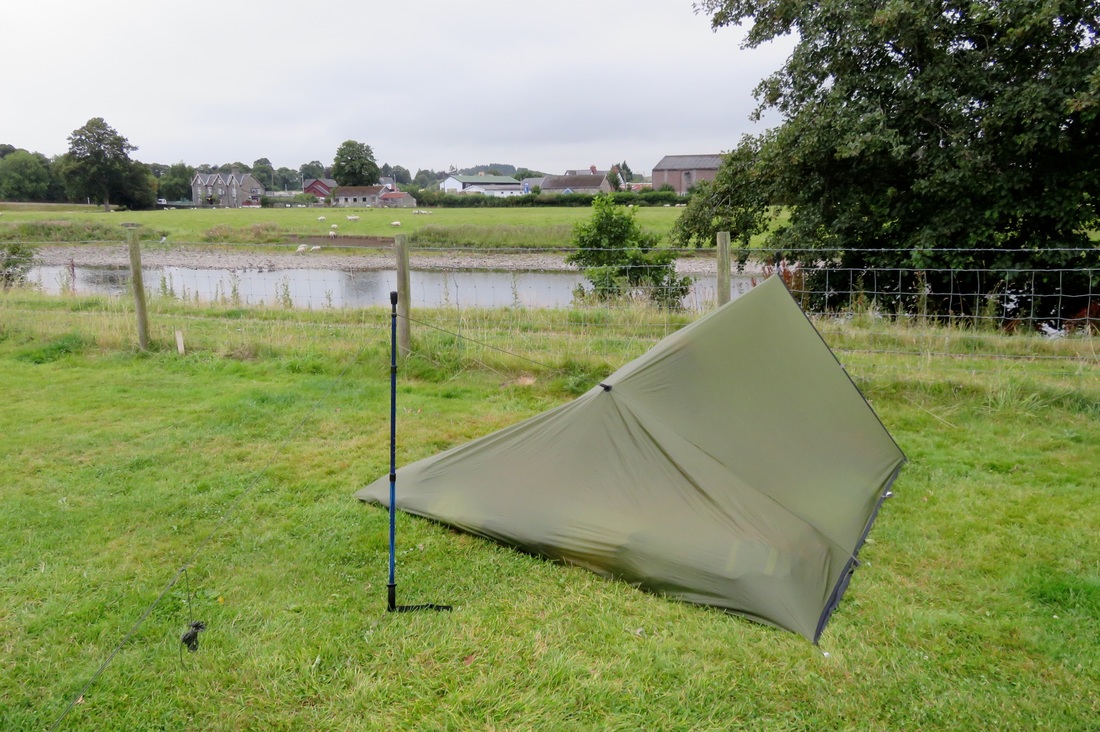
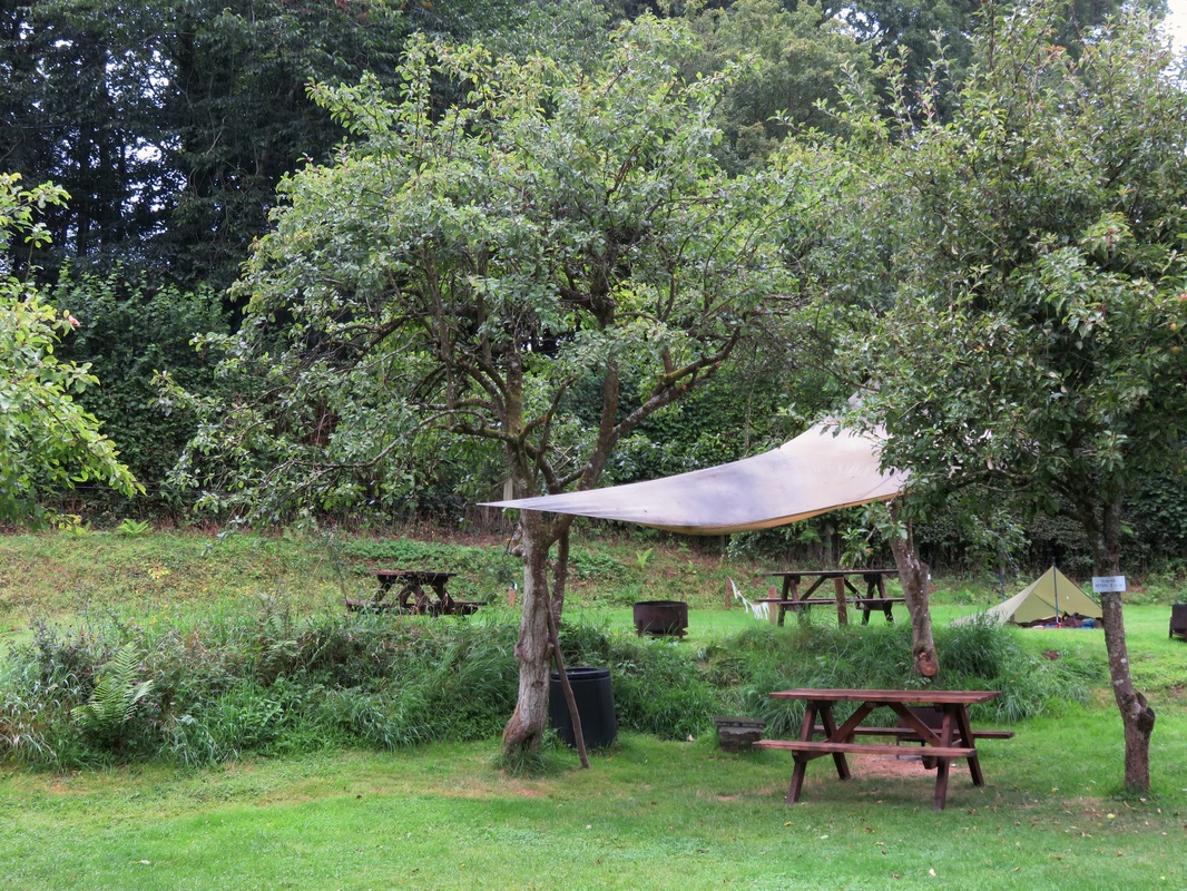
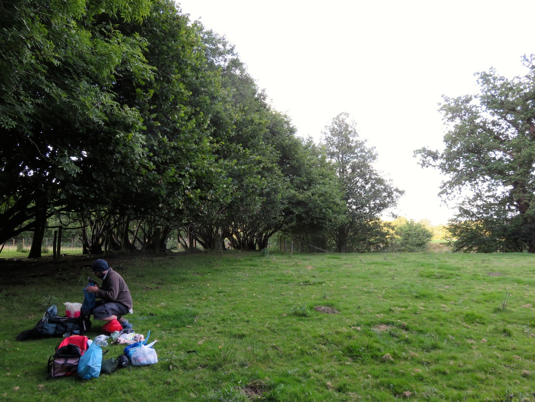
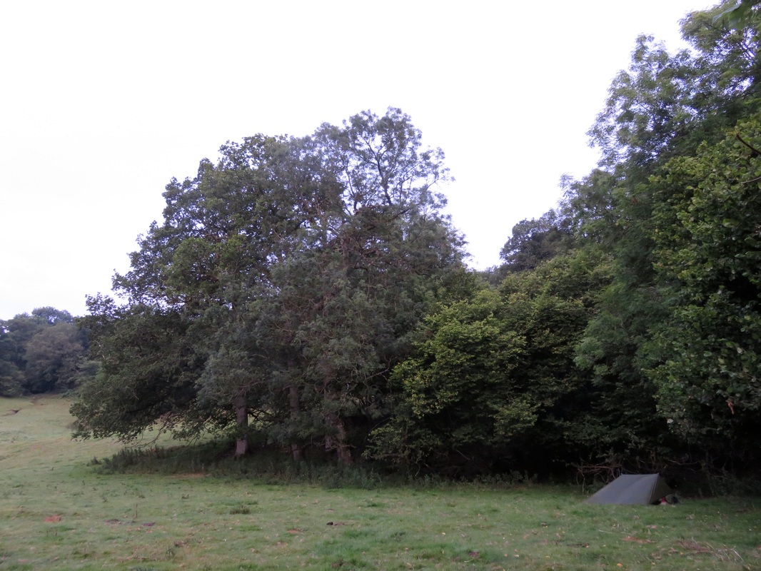
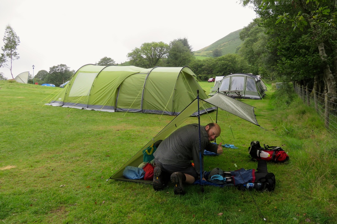
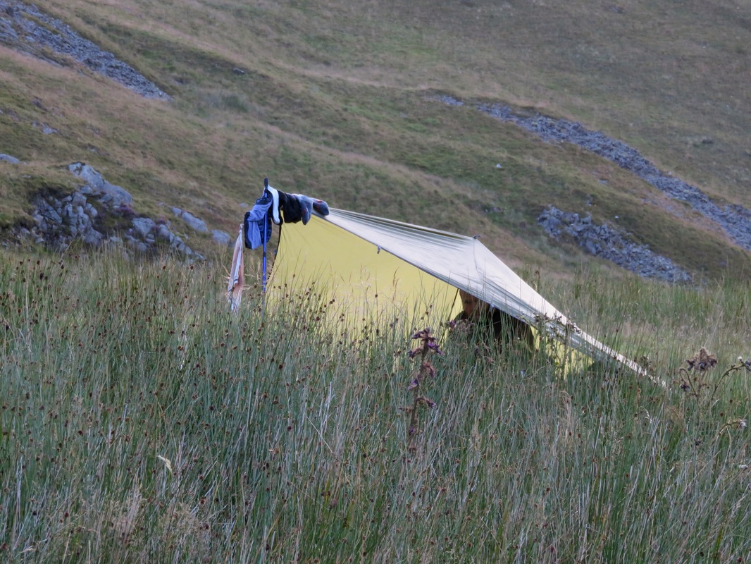
Money can't buy a campsite like this. After rain, a deer lead us to this field. We heard them barking in the night.
P.S. This is still a good time to make hedgerow jam. Get on it!

 RSS Feed
