Granite, hills, views.
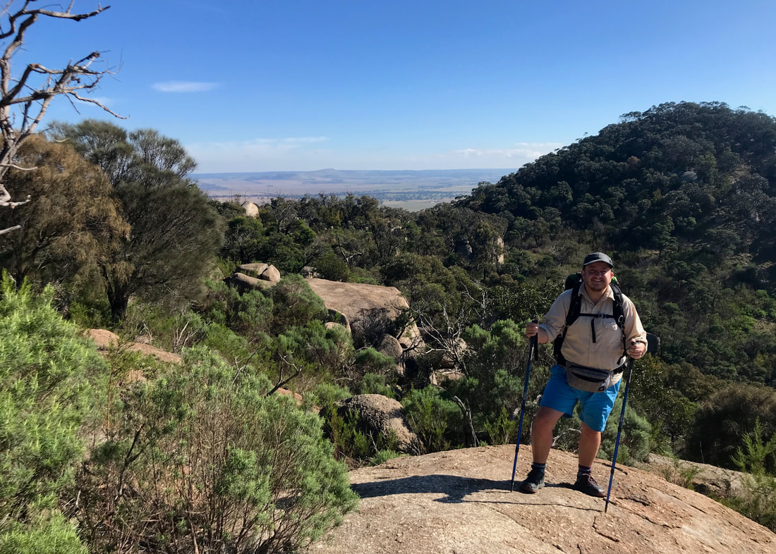
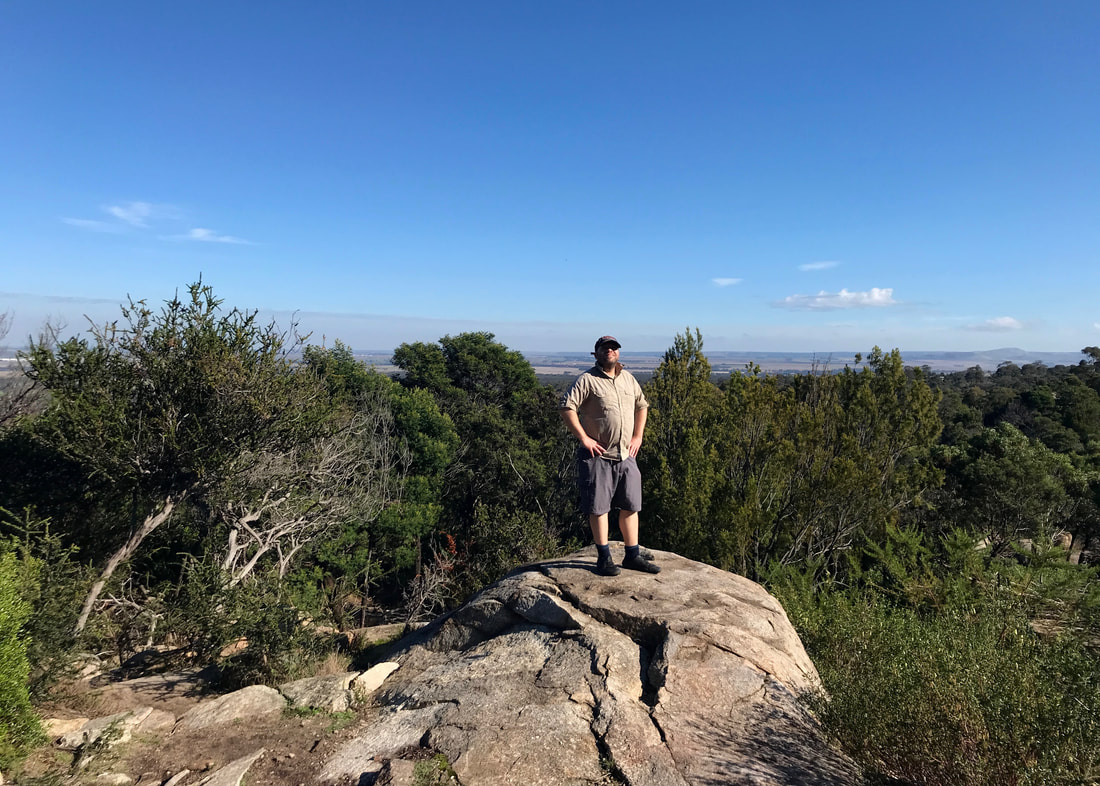
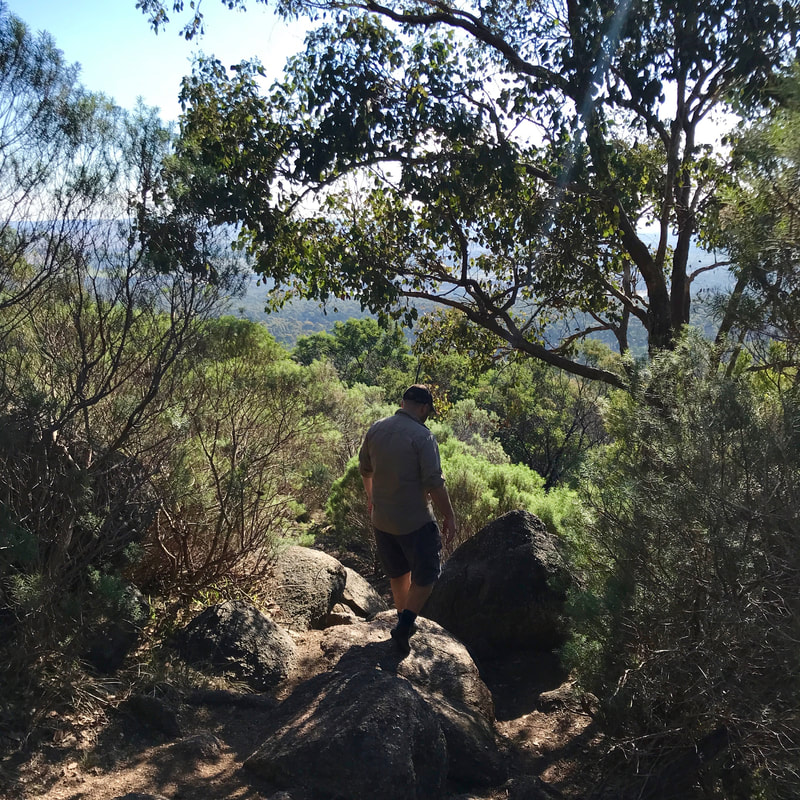
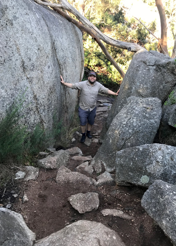
Definitely trying not to fall off this large boulder. The view behind me is to the west.
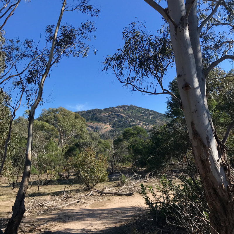
When we lived in Melbourne many years ago, Dan and I always wanted to visit the You Yangs (Wurdi Youang). The pointed hills stand out in the distant south-west, rising from the surrounding plains, clearly visible when you get anywhere with a view out in that direction. But the closest train station is 10km away, so even if we’d managed to get bikes on the train it would have taken us something like three hours to get there, leaving not very much time for a walk before it would be time to turn around and go home. It’s basically impossible to do a day trip there (and there’s no camping) unless you have a car.
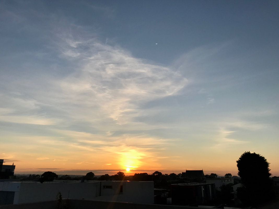
Might as well start with the Melbourne sunrise!
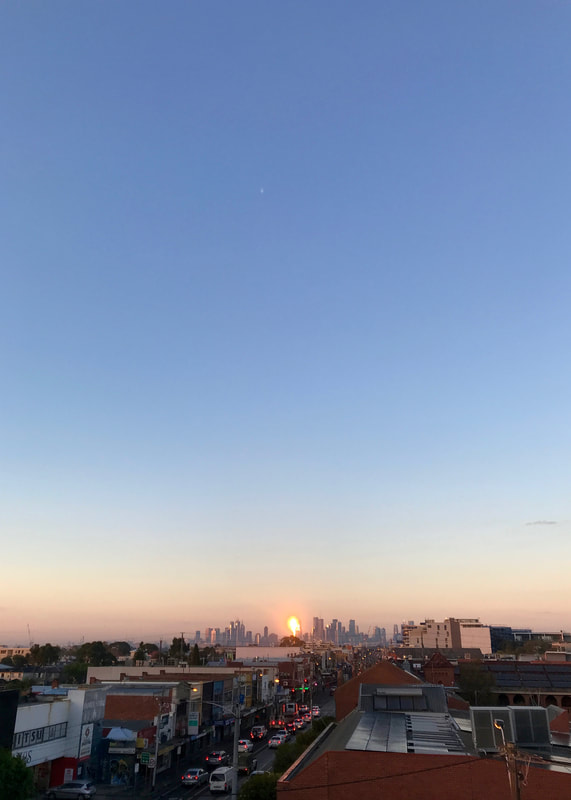 The sun setting the city on fire. | 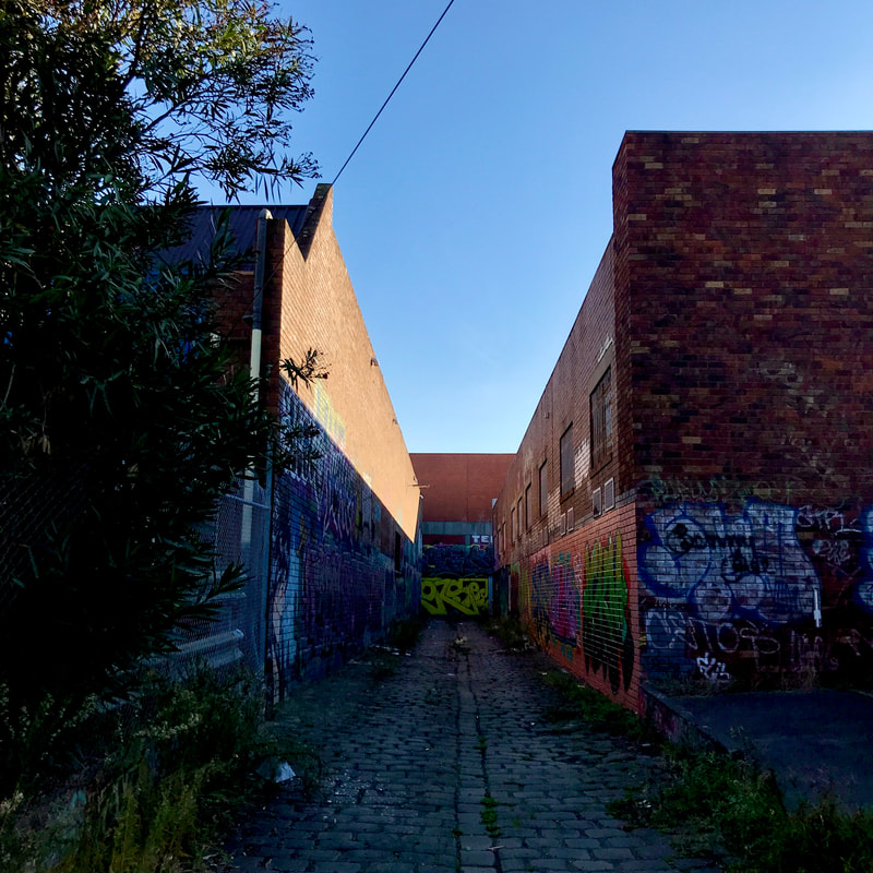 Your typical Brunswick bluestone alley. |
But now, we have a car! So, off we set from our friend’s place in Brunswick, and pulled into the park less than an hour later. I hate that this is the only option for getting there, but I’m glad we were able to. As we hopped out of the car, a bus load of early primary school kids also arrived. “We’re going on a REALLY BIG WALK!” one of them informed us. “What are you doing here?” They seemed satisfied that we were also going on a REALLY BIG WALK. Despite the commotion, a few kangaroos stuck around nearby to watch us set off. The kids still had to get through the entire class of toilet visits, so we left them to eat our dust.
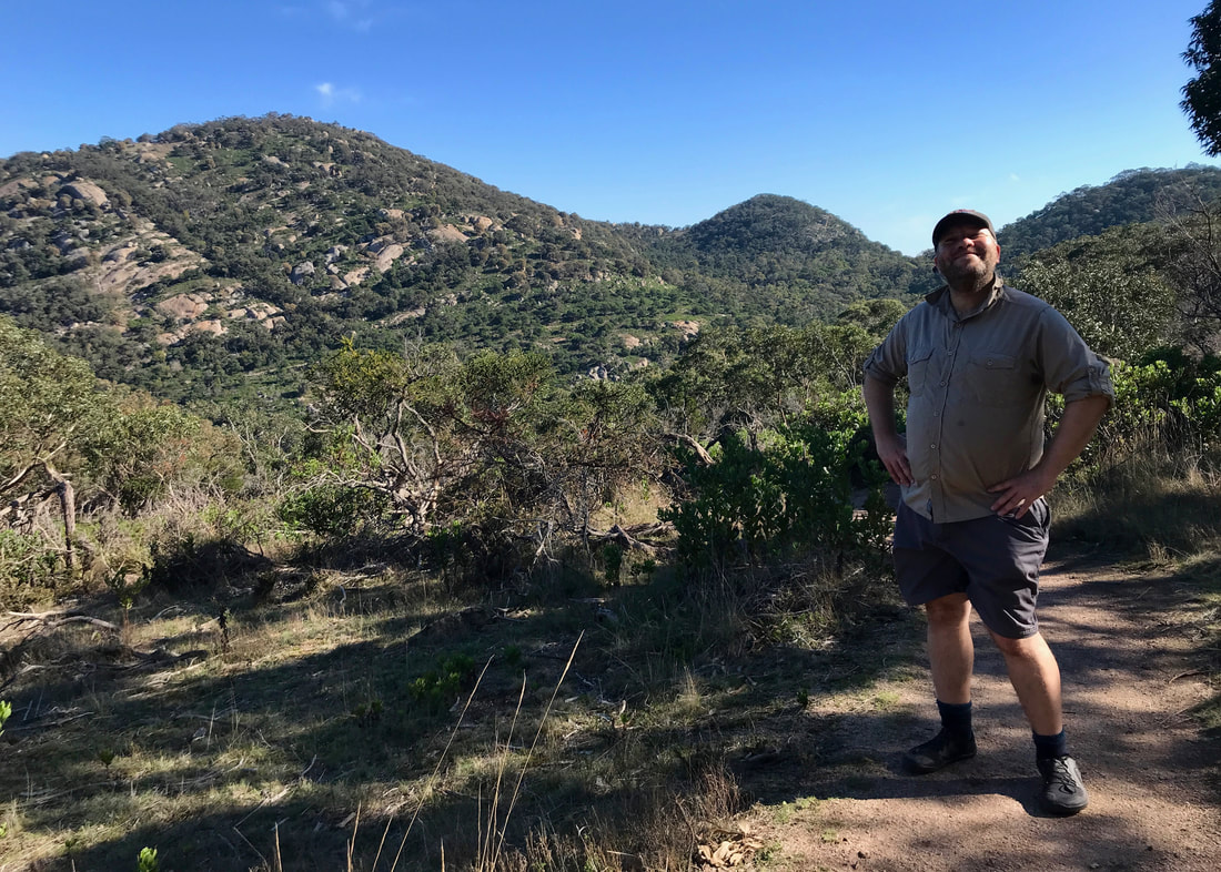
Lord of all he surveys, apparently.
 This is just the path between the carparks - lovely! | 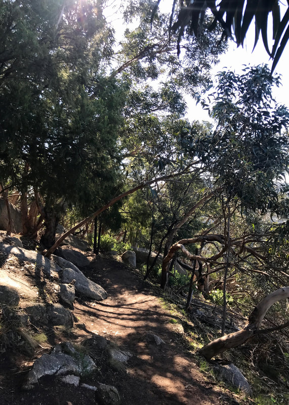 Heading up East Track. |
Our plan was to do a bit of a butterfly, forming two circuits around the hills (East Track, Saddleback Track, Branding Yard Trail, Northern Range Walk and West Track, if you want to check a map). Then, if we had time at the end, we’d head up to so-called Flinders Peak (I can’t find if the individual hills have Indigenous names) and back to the car park. Spoiler: we did not have time.
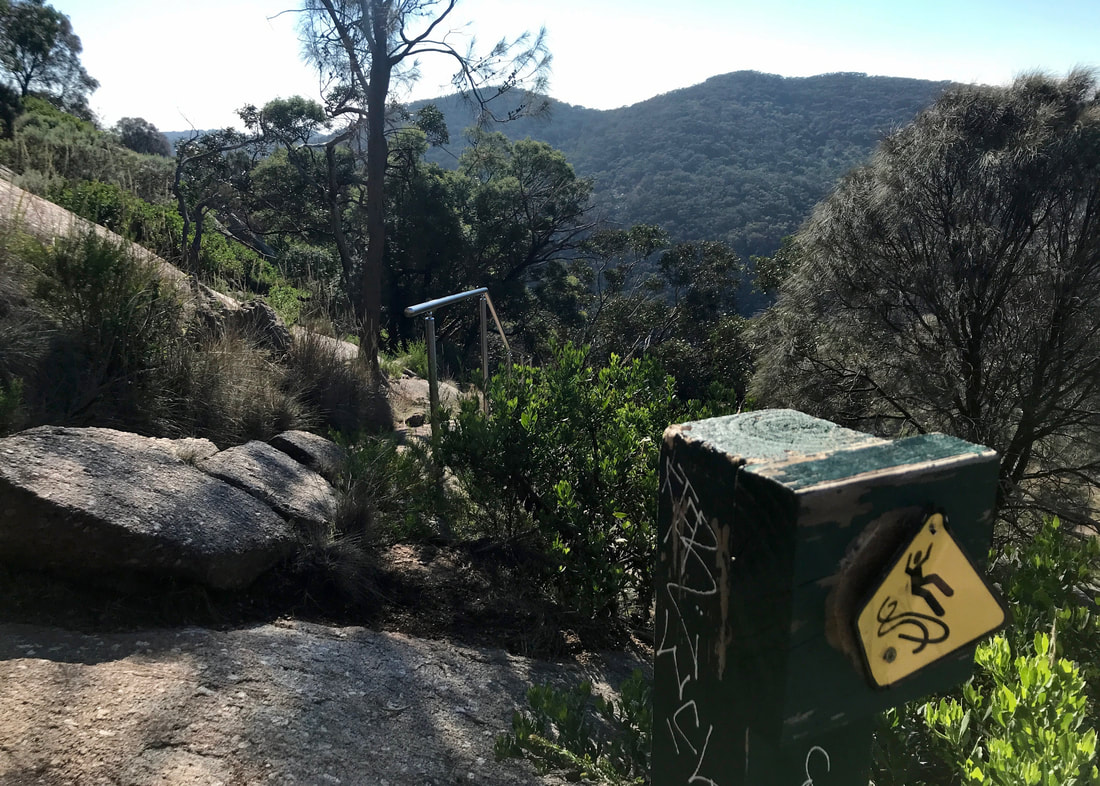
Whee! I hadn't even thought about falling off the path before this sign got me anxious!
 Rocks - you'll see a lot of these. | 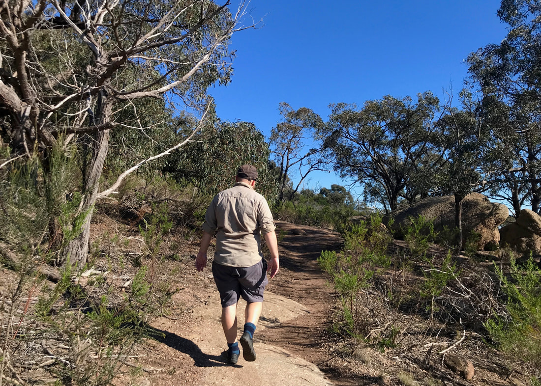 Dan - not hoofing it, but leaving me in his wake! |
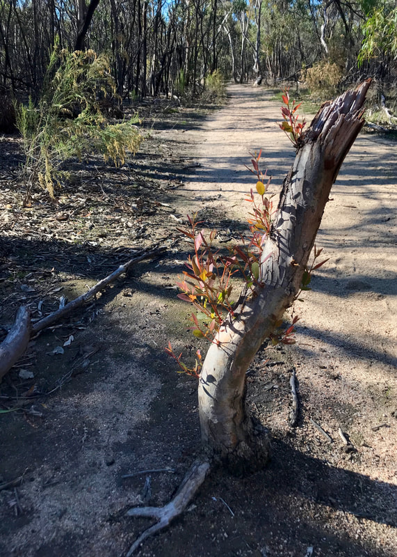
East Track started us out with what ended up being the hardest bit of walking of the day. It was fairly steep (rising roughly 175m over 2km) but mainly what slowed us down was how the path winds through and over the amazing granite rocks and boulders that form the hillsides. There was lots of awkward stepping up and down (which I have to do carefully because of my knees), along with a bit of four-legged walking (aka scrambling) at times. I worked up quite a sweat, and could feel the burn in my calves. We pulled aside to admire the fantastic view over the plains and the bay to the east. Someone passed us, and promptly disappeared up the track. “How can they go so quickly?” I lamented. “Well, we haven’t been hoofing it,” Dan replied. I was aghast. In fact, I had been hoofing it. But then again, perhaps I felt that way because I was carrying a 10kg pack and Dan and the speedy person were not.
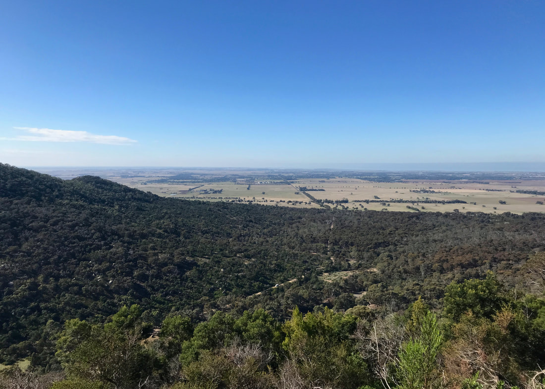
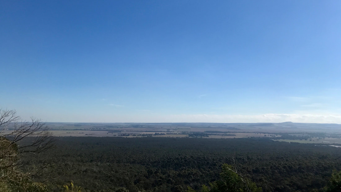
View to the east out to Port Phillip Bay. You might just make out the geoglyph of Bunjil in the clearing in the trees.
Huh, so that's what we've been walking through. Cool!
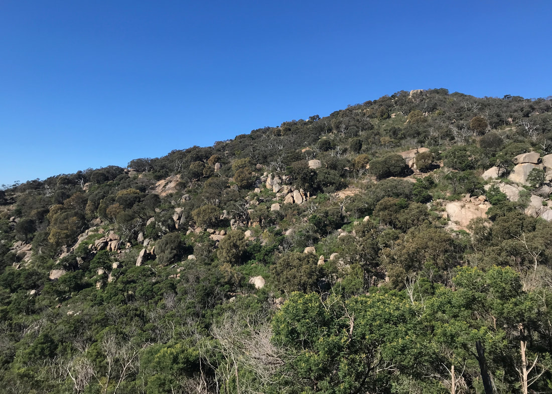
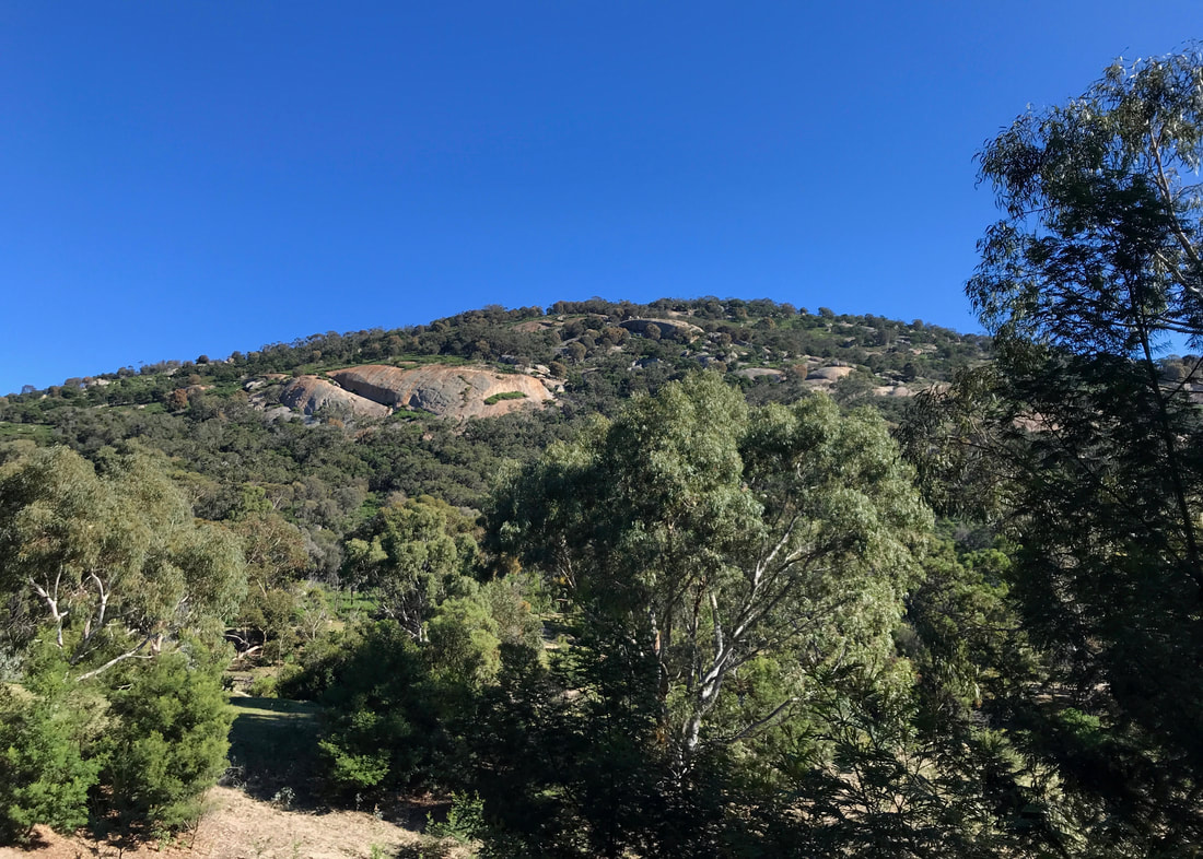
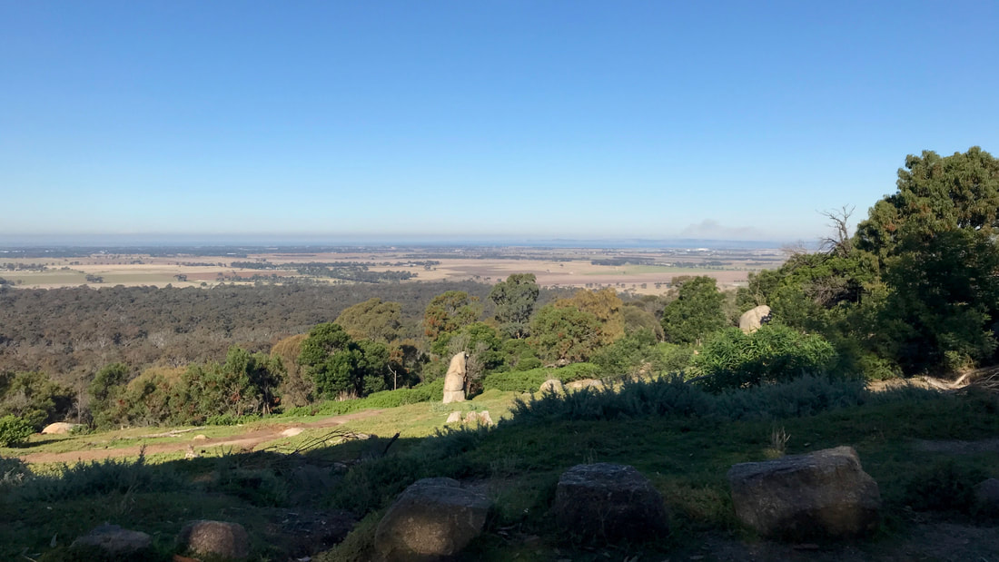
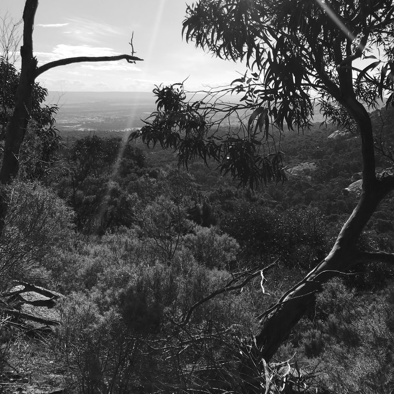
As we twisted around East Track, we started to get views of the hillside we’d just come along, and wow! It was even more spectacular than we’d thought. There are huge granite faces, big boulders poking up through the trees, and the whole thing made me want to paint it. Having only ever seen the hills from a distance, I’d just assumed they’d be covered in trees, but no - the closer you get, the more you realise the trees are just filling in the gaps between the rocks. The granite is actually the reason this range exists - originally a mass of magma that solidified within sedimentary rocks under the sea, as the water receded and the sediments eroded, leaving behind the hills we see today. Underfoot, the soil is sandy, formed from granite eroded over time by the weather.
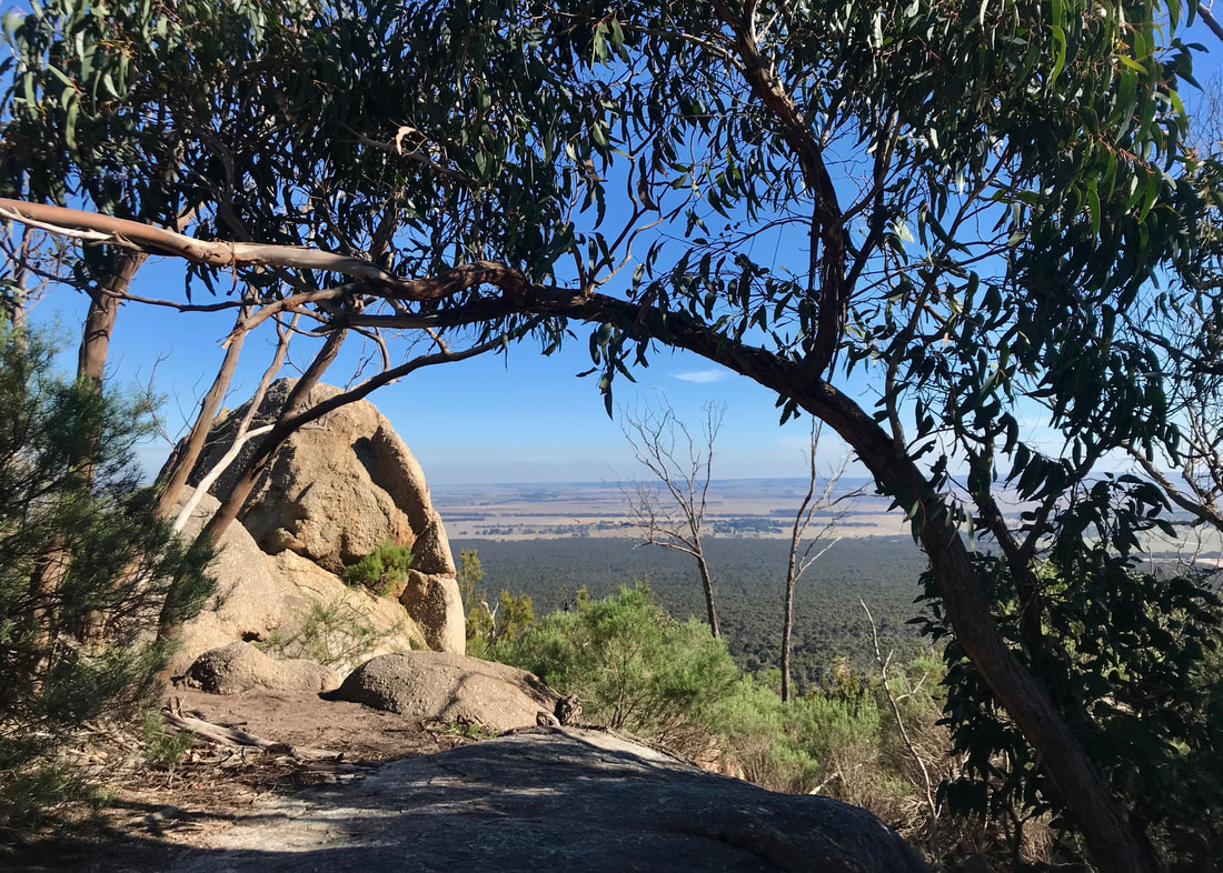
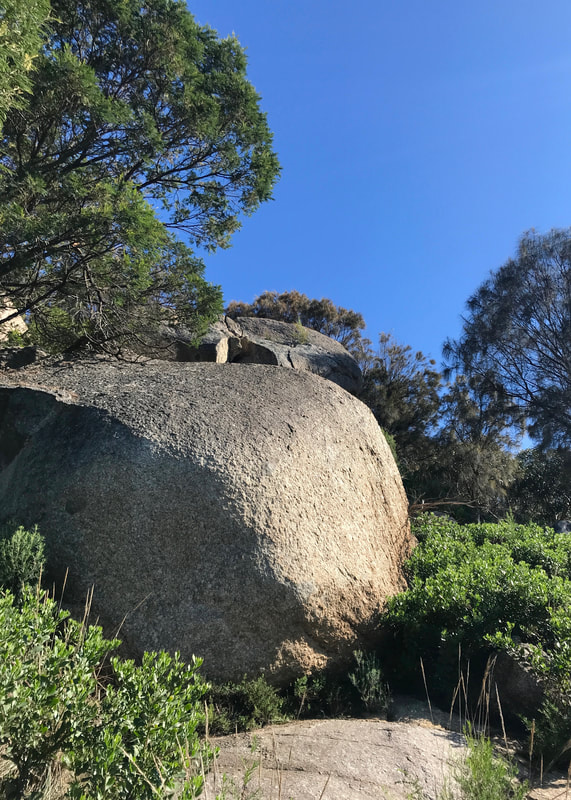
View with boulder and tree.
 New growth on the path down on the plains. | 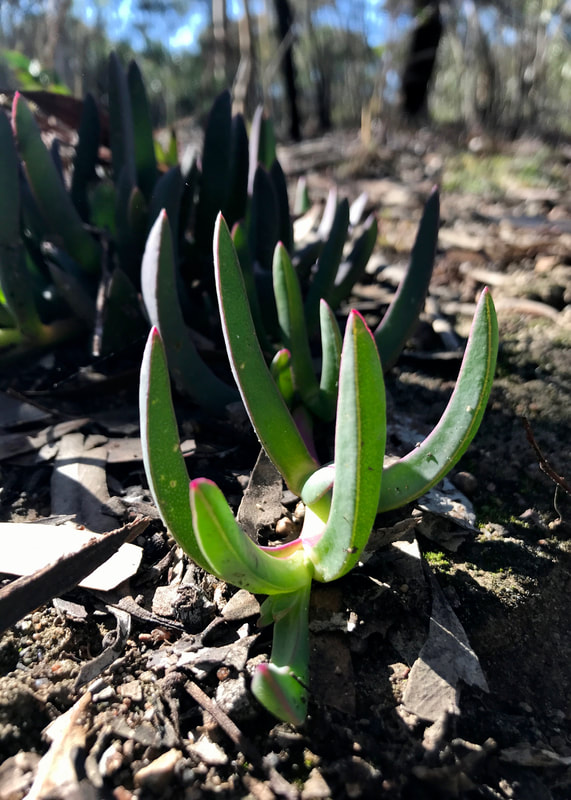 Pigface was growing everywhere down here. |
Speaking of the weather, we had chosen a perfect day. After a chilly morning, which left the grass glistening, the sun rose high in a clear blue sky. There was enough shade to keep us just on the cusp of being too hot, supplemented later in the walk by a very gentle cool breeze. Although there was a lot of haze and smoke in the distance, the air was fresh. I was glad we’d decided to come straight down on our first day in Melbourne, rather than waiting until later in the week, when it got a bit overcast and drizzly.
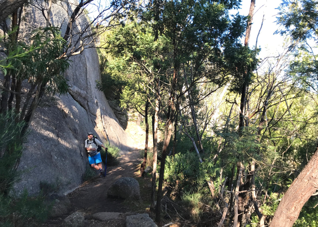
Saddleback Track on the way down.
We passed the intersection where our loops met, and spoke briefly to two fellows who told us to look out for brown snakes as there had been one on Saddleback Track yesterday. Then we dropped down off the hill along said track, passing three other people coming up, and into the trees on the plain. We were once again visited, albeit fleetingly, by a scarlet robin. I feel very honoured to have seen one on three of my last four walks. Making a very small detour, we popped out into the clearing with the geoglyph of Bunjil the wedge tailed eagle - the Wadawarrung/Wathaurong creator spirit, who made all the country of the Kulin Nation - though at 100 metres across it’s designed to be seen from above, so we’d already had a better view from East Track.
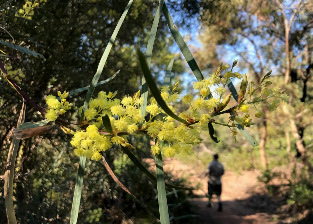
We passed a few little patches of wattle, smelling lovely in the warm sun.
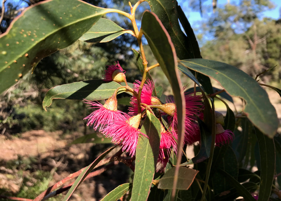
Gorgeous, bright pink eucalypt flowers. Also looks like some lerps or something on the underside of the leaf to the left.
A little later, we stopped at a low bridge over a dry watercourse to take the weight off and share a Snickers. A friendly young border collie came to say hi (on a lead, as per the rules). And then it was time for the short, sharp climb back up onto the hills. A nice bench part way up gave us the chance to have a rest and watch a large family of choughs making their way through the trees around us. As well as choughs, kangaroos, the scarlet robin and some dogs out with their owners, we also saw cockies, yellow rumped thornbills, red browed finches, a small bird of prey, a large bird of prey, pigeons, magpies and wrens. We also noticed tracks that might have been from feral goats? They seemed too small for deer.
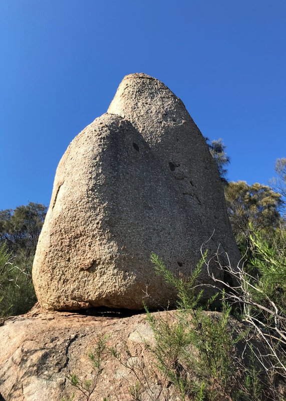
I was very taken with all the granite rocks here. I just didn't expect it!
 Looking at the hills from the plains. |  Heading back up on the Northern Range Walk |
Making our way back to close the loop, we met another couple of people walking the other way - apparently without any packs or water, which was a little alarming, but I’m sure they knew what they were doing. Right? It was quite pleasant on the Northern Range Walk, as the path was mostly in shade and had been for most of the day. We passed through a couple of lovely-smelling damp areas. We also finally realised that one of the complexes we’d been looking at to the east was Avalon Airport. Not a single plane landed or took off - at least that we noticed.
Dan looking very pleased with himself for some reason (probably because he didn't have to carry anything!).
 Down > |  > the > |  > path. |
Lunch was taken on a large rock - Vita-weats, Emmenthal slices and some long swigs of electrolyte-laden water - before we set off along West Track to complete our walk. We decided at lunch that rather than rushing to get up the hill and back, we’d just take our time heading back to the car. If we hadn’t had a dinner date arranged with friends (dumplings in the park!), we probably would have headed up the peak at the end. But I was happy to forego the 450 steps up - and especially the 450 steps down. I’m not sure my knees would have taken it!
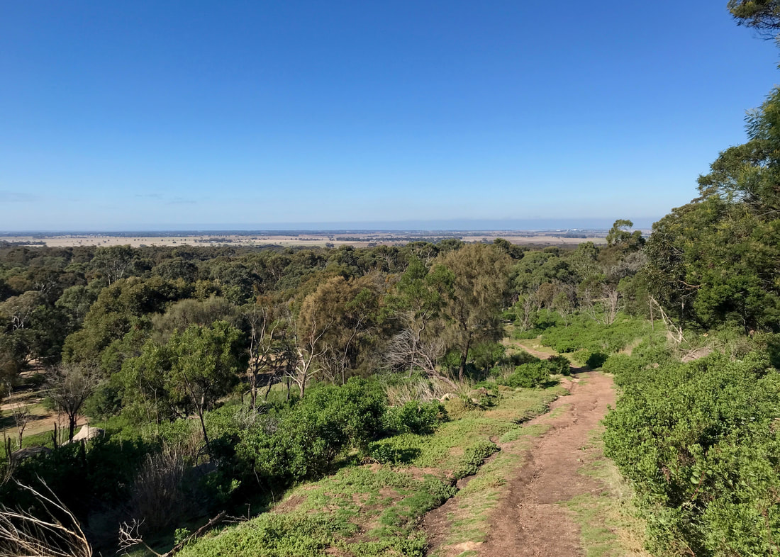
The view from West Track, showing the boundary of the park.
 Stuck between a rock and a hard place (another rock). |  The car park - pretty picturesque! |
Posing beside one of the big granite walls beside the path.
On this side of the hill, the boulders felt more prominent - maybe because the west side cops more of the weather? We enjoyed views out to the Brisbane Ranges and the hills and plains to there. We spied a couple of other large complexes - one of which I guessed might be a prison, which was on the money. We met a couple of lads slipping and scrambling their way down to the path, presumably from the summit, a jogger and another dog walker. All in all, once out of the car parks, we only encountered 14 other people. Not a huge number for being out for four hours, but enough to make the place feel well used. I think most people just hike up to the summit and back, rather than exploring these other tracks. Towards the end, we could see an inviting looking big rock far below - which is, of course, imaginatively named Big Rock. A destination for our next visit. Below an official lookout, we also spotted anchor points in the granite - presumably for sport climbing and abseiling.
View from the Turntable - can you see the smoke on the horizon?
 A nice looking boulder. | 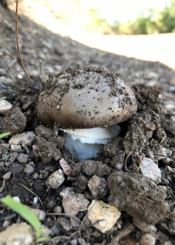 A nice looking mushroom. |
And then, after a few minutes rest on the benches at the Turntable Car Park, watching trains and boats head from Geelong to Melbourne, we toddled back to our car in Lower Car Park. The kangaroos were still there, including a few whoppers! But the primary school kids had long finished their day and headed home.
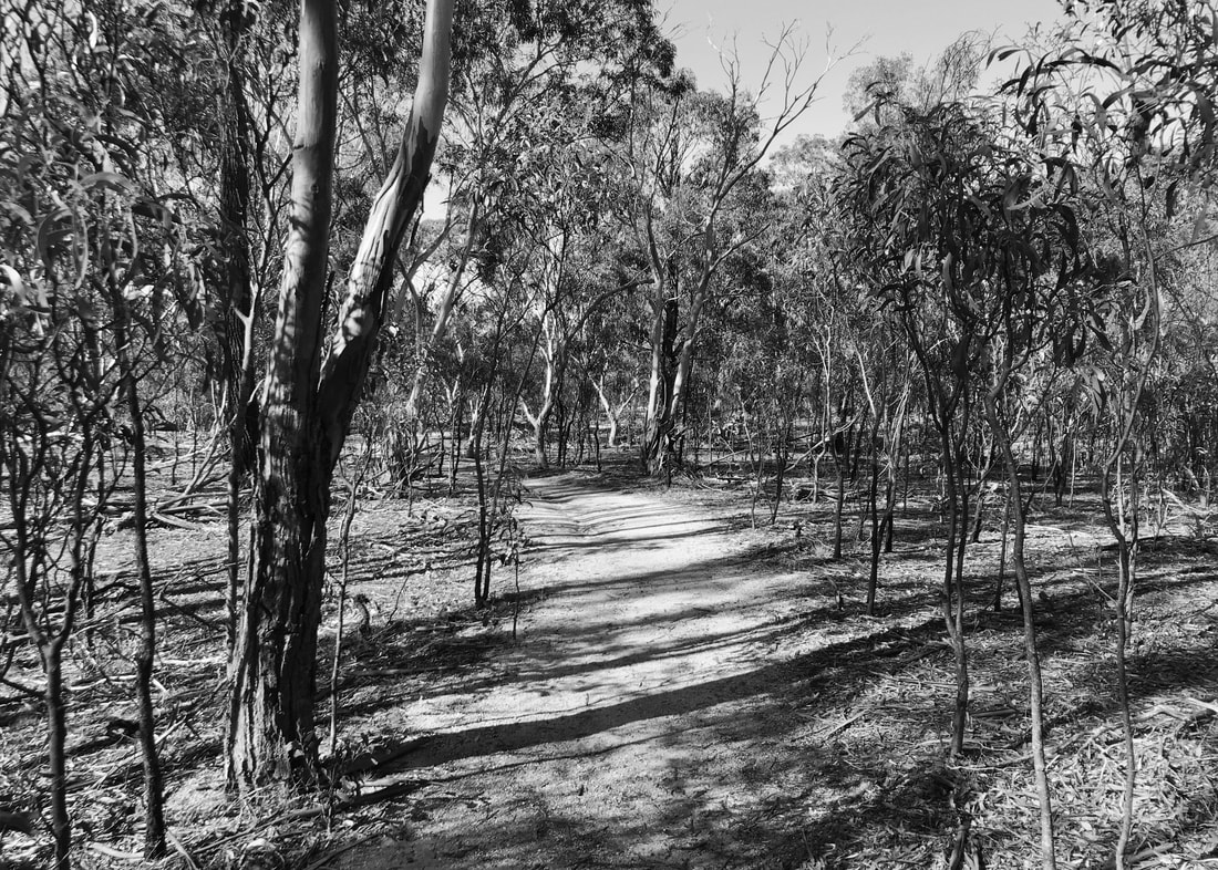
The path down the bottom on the plains - very different to the hillsides.
 View with a curving tree. | 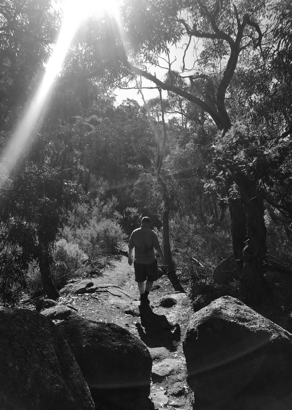 Dan in the sunshine. |
Notes
Let’s go for some bullet points.
- A short walk, but quite hard! It took us about four hours to walk 11km. The slowness I will attribute mostly to the terrain, as described above. Picking my way around and over the granite definitely slowed us down.
- My ankles were really feeling it at the end of the walk, and my calves were extremely tight for a few days afterwards. I took off my shoes and drew the alphabet in the air with my feet during our first break (also a good tip for long plane journeys), but I wish I’d also stretched my calves during the walk and in the evening. Overall, this was a much needed lower leg workout. I clearly need to do more walks (a) on hills/steps and (b) on uneven terrain - there will be a bunch of dry riverbed walking in the first few weeks on the Heysen Trail, so I should try and get used to it!
- By the end of the walk, I did not feel that I could easily walk another 10-15km. But that was partly because we started late (10:30ish). I would have felt different if we’d started at 8:30… maybe!
- I wore my second pair of anti-chafe undies, which were OK but not as good as the pink ones in terms of anti-chafe nor in terms of sheer happy-making colour. Step One > Tradies. (Unfortunately, though, Step One is bamboo, which takes ages to dry.)
- I drank my weird salty orange flavoured electrolyte drink and I think it helped. I also just felt better in general than the last walk.
- I’ve been super hungry lately (cold weather?), but did fine with the rations we packed (6 crackers with cheese, half a Snickers, half a nut bar). That’s good. Still, I was very happy to stuff my face with dumplings at dinner.
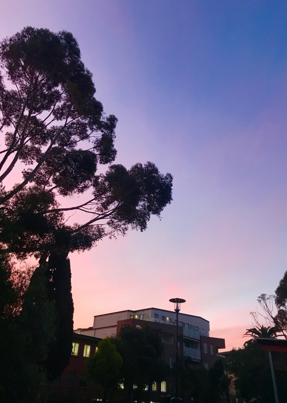 Evening light in Essendon - ready for dumplings! | 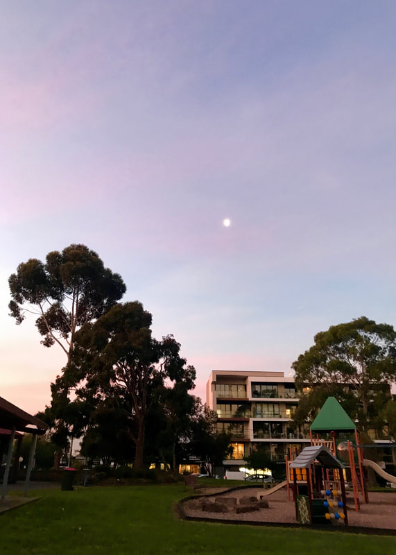 The moon in a pink and blue sky. |
The You Yangs (Wurdi Youang) are part of Wadawurrung (also transcribed as Wathaurong) Country, created by Bunjil, the wedge tailed eagle. This always was, and always will be, Aboriginal land.
 RSS Feed
