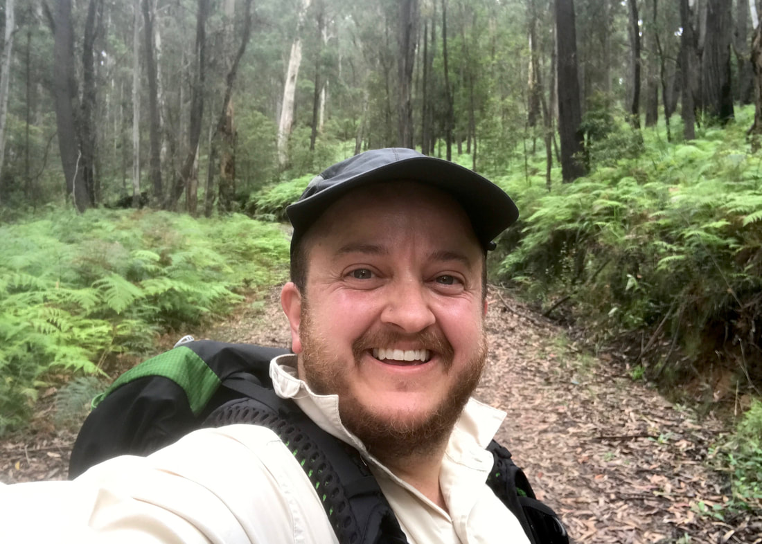
A solo walk through the foothills and fringes of the Briagolong State Forest.

Probably my favourite moment of the walk was finding this unexpectedly lush pocket of forest.
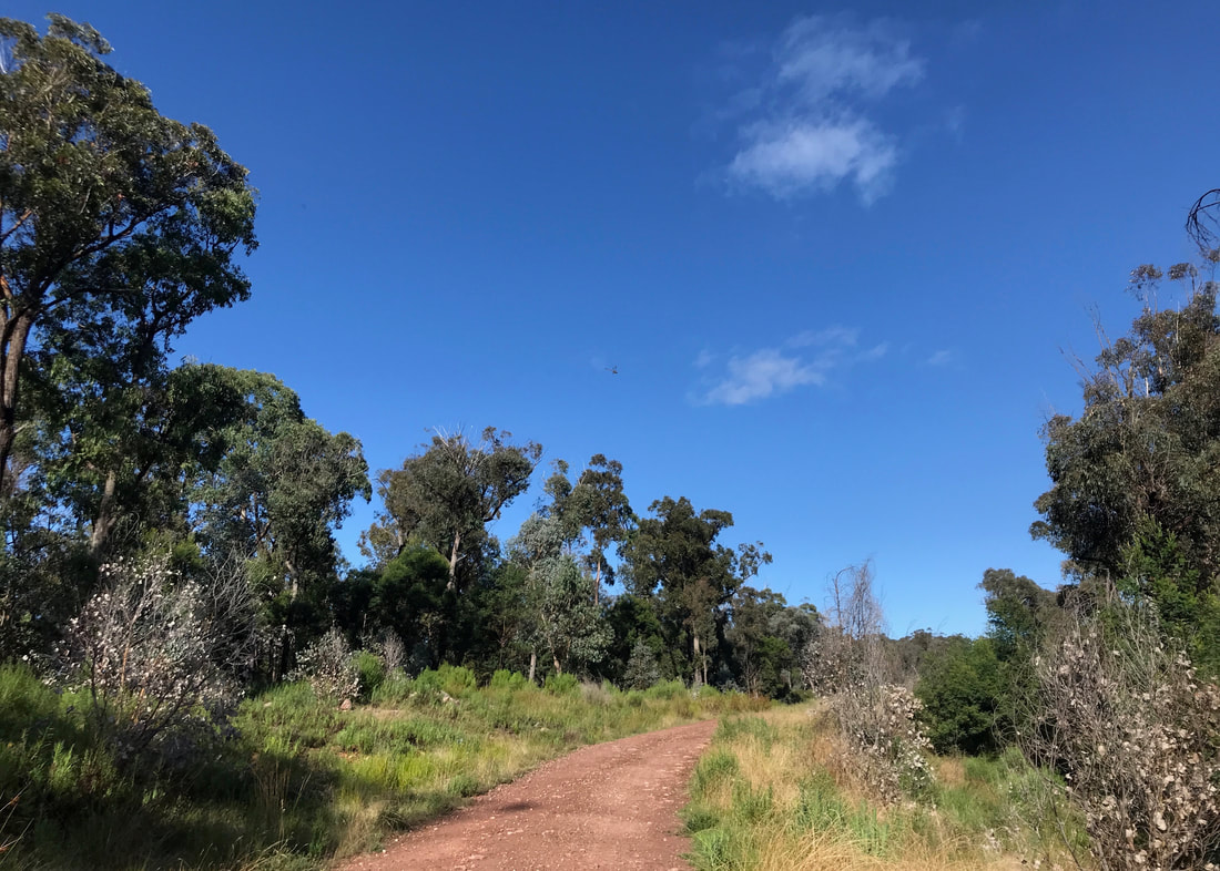
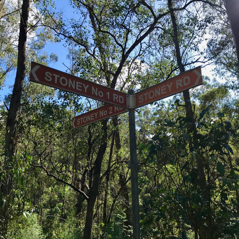
I’m still quite behind with my walking blog posts, sorry. I have another four walks to write up! Anyway, way back on the 23rd of March, a bit before 9:15am, Dan dropped me off at the intersection of Beverleys Road and Stoney Road, near Stockdale. It was very pleasant walking up the dirt track as the weather was cool and the sun was peeking through the clouds and trees. Many, many frogs were singing from the puddles that pooled in gutters and old wheel ruts beside the road - it had rained the day before. The track was smooth and climbed gently for the first 4km.
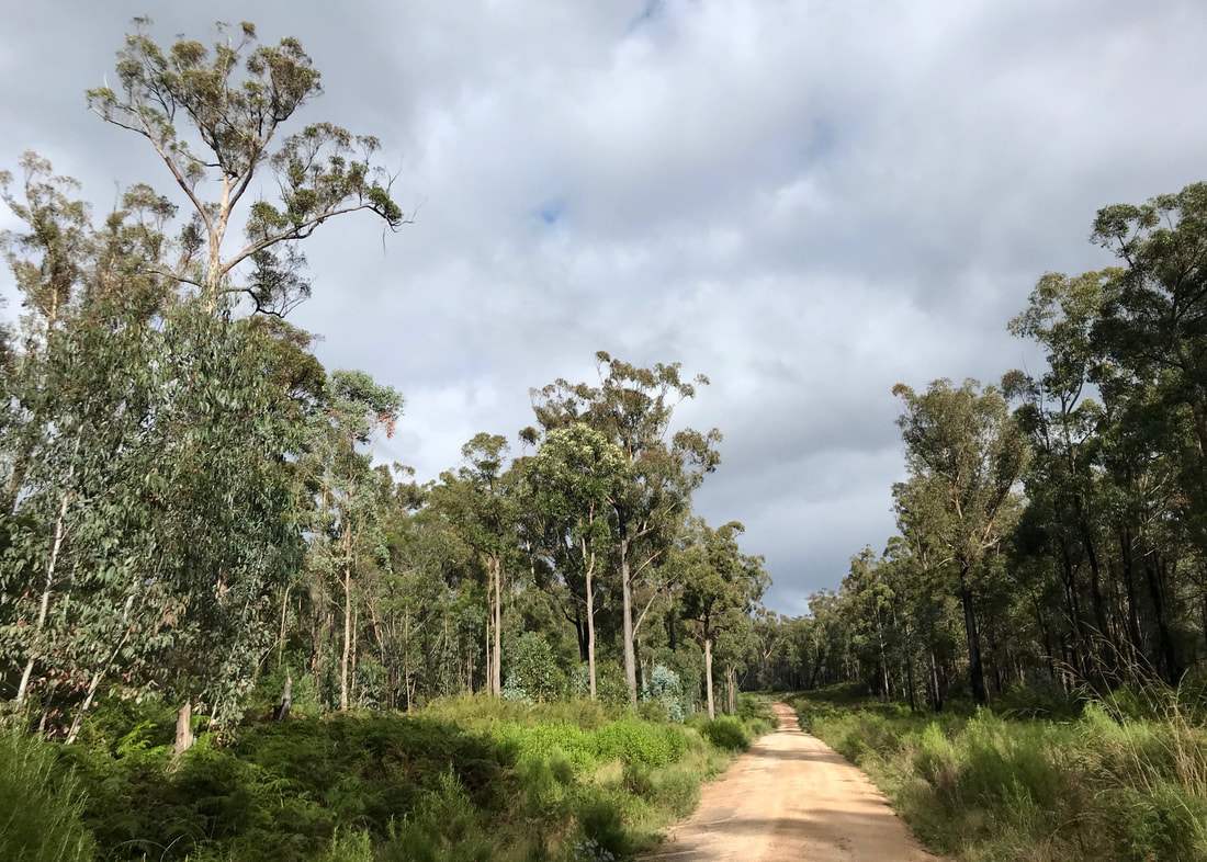
At the start of the walk the sky alternated between overcast and blue, the sun breaking through.
 Morning light in the bush. | 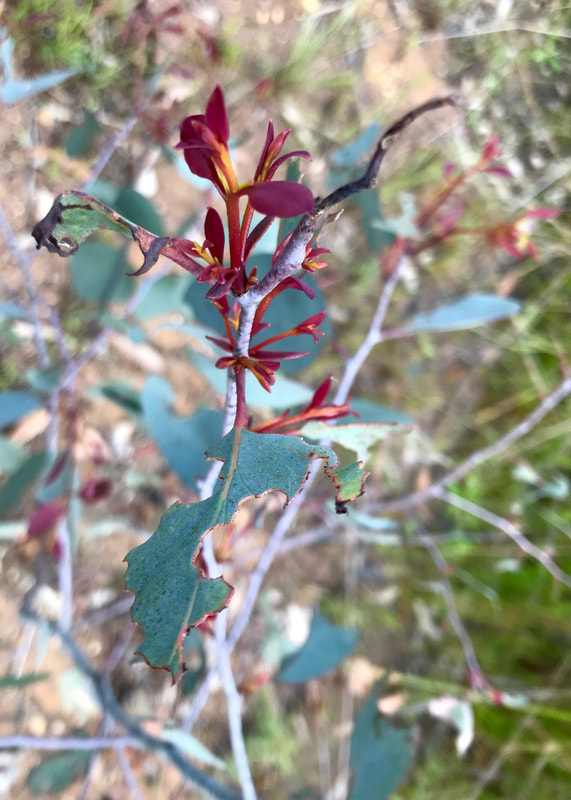 New growth - love the contrasting colours. |
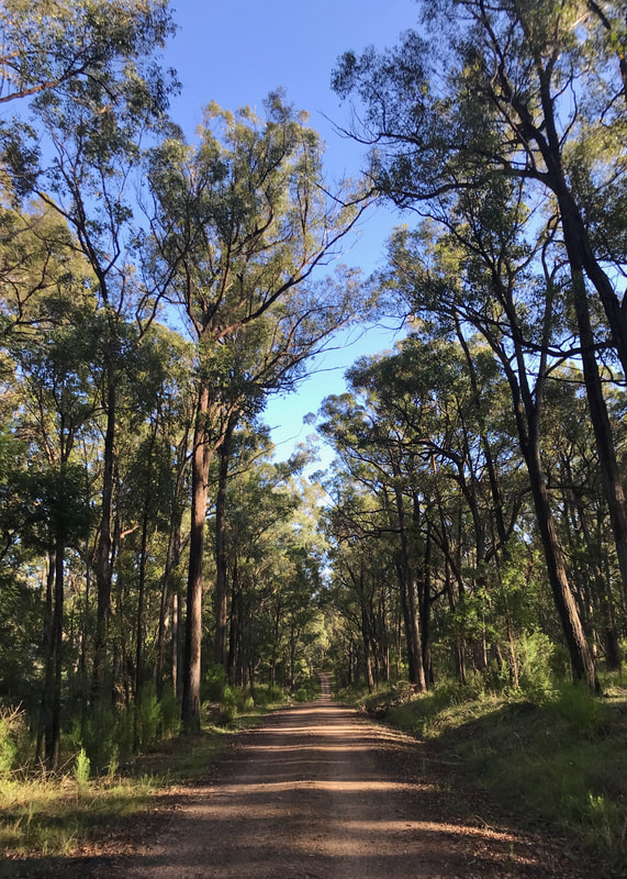
The moon is up there, calling me on! I could hear frogs at many points along this track.
I was loving every moment of the walk so far! The bush smelt amazing - eucalyptus, dogwood, hop goodenia, wet earth... The sky was clearing and the three-quarter moon hung before me, calling me west. Views opened up to the forested hills north of the valley, and back east I caught glimpses of a landscape made silvery by the morning light. I heard black cockies, saw a couple of wallabies, a feral cat (uh oh), kookaburras, magpies, currawongs, native snails and tadpoles. As the bush woke up, later in the morning and into the afternoon, I saw more birds - lots of wrens, some red-browed finches, shrike thrushes, sulphur crested cockies and, towards the end, a quail that scuttled across the road in front of me. I also photographed a dead red bellied black snake - it looked like it had been run over on the road, poor thing. (Photo not included.)
As I took this photo, a dragonfly zoomed over. I wasn't sure if it would show up, but there it is!
 Zoom in for the silvery landscape in the distance. | 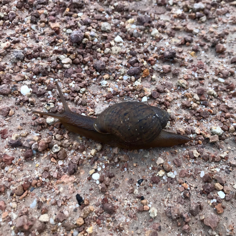 A little native snail friend. I wonder who got to their destination first? |
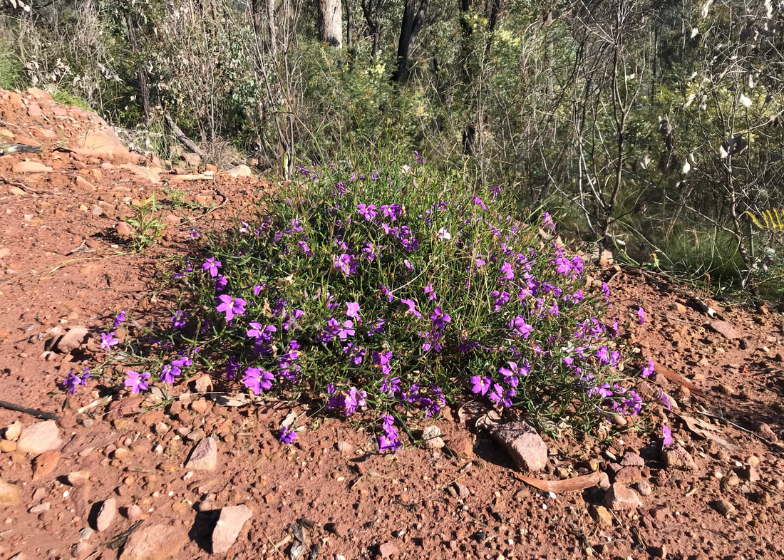
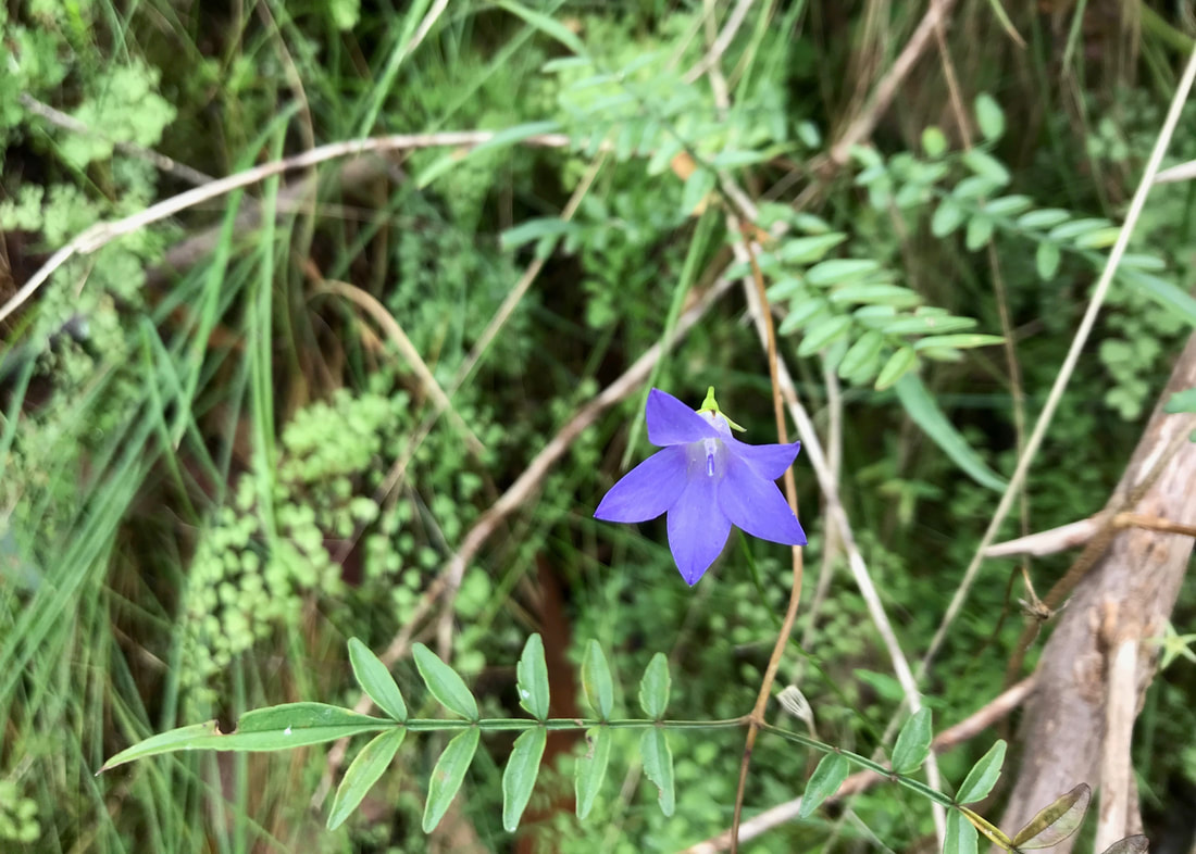
There was a lot of this purple flowered plant around. Not sure what it is? Against the red dirt it looks very central Australian.
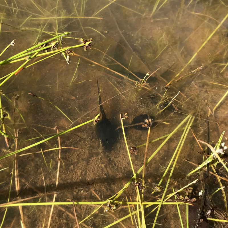 Taddies! I didn't see a single frog, though. | 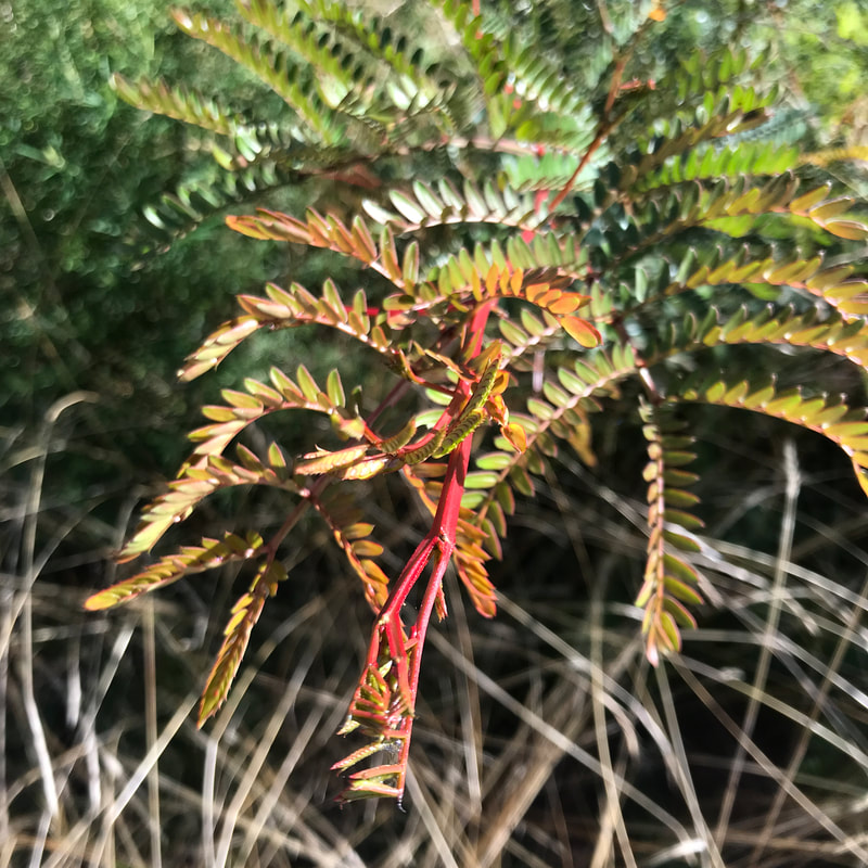 More new growth. |
I turned off for a 2km walk downhill past a section of bush that had been burnt more severely a couple of years ago judging by the black trunks and fallen trees. Dad reckons a fuel reduction burn - if so, it might have got a bit out of hand. I stopped for a few minutes at the creek for a drink and half a protein bar, then started climbing again. The track was very slightly steeper than the first climb, but still not too hard - about 200m ascent over 2km. Clouds were gathering overhead, threatening rain. Towards the top of the climb, the road circled to the south of the hill where mountain ash (I think) joined the stringybark and box- tall, pale trunks rising from a dense understory of bright green bracken. A shaft of sunlight shot through, illuminating a patch of the forest. Magical!
A more recently burnt area, with blackened trunks and sparse undergrowth.
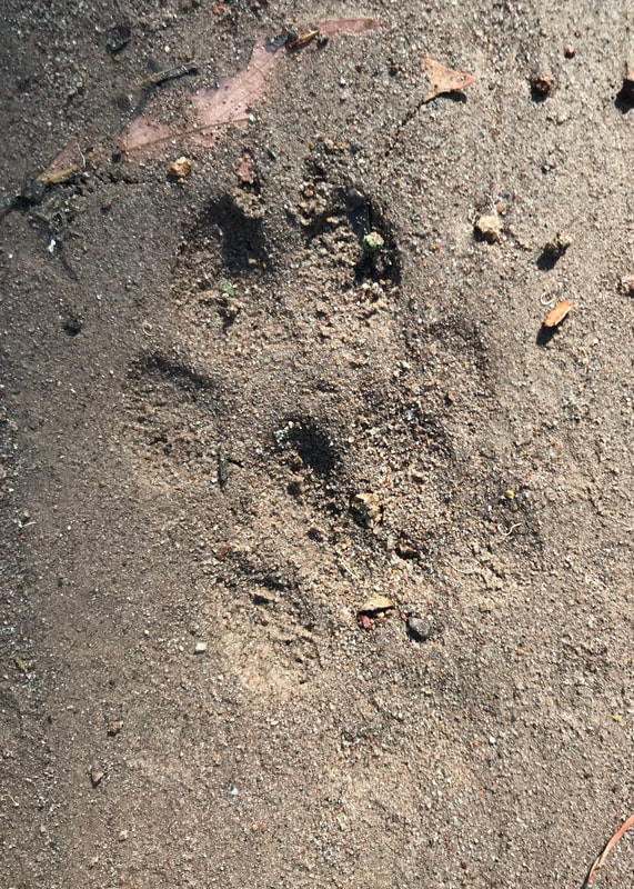 Dog prints, I think? | 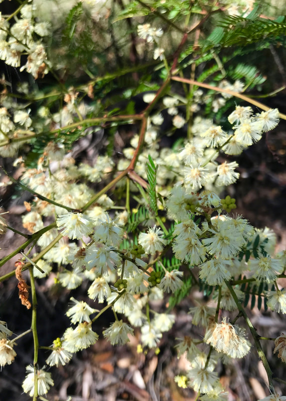 Wattle! |
A lot of wattle! The photo doesn't really give the full sea-of-blossom effect.
 Absolutely no possibility of confusion here. | 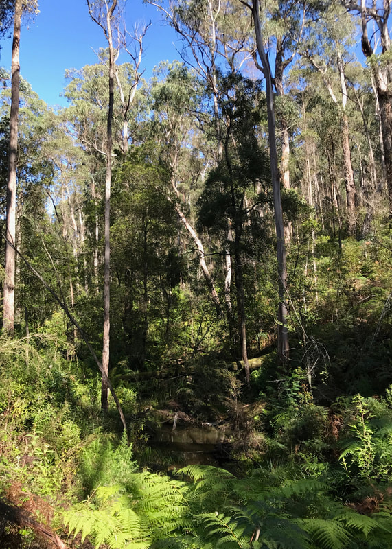 Rest stop down in the creek. |
I think you can probably tell I was pretty happy with the walk at this point!
At Insolvent Track, I turned left and began a long, easy stretch of mostly downhill walking. Insolvent Track was the first main colonial route up to Dargo, which was interesting to consider as I went along. The sun came out again, and the weather was heating up. I spotted Mount Moornapa Fire Tower on the horizon. For the first time, I heard signs of other humans - mainly a chainsaw in the distance, and an aeroplane passing overhead. I was getting hungry, so I stopped for lunch near a clearing that belongs to the plantations and seems to have some kind of quarry in it. I could hear a digger or truck working in there, but I didn’t see anyone. I later noticed the wheel marks and fresh firewood collection spots of the chainsawyers, but didn’t see them, either. Lunch was far too big, but I didn’t want to carry it in my pack any more, so I ate it all!
Australian bluebell with maidenhair fern in the background.
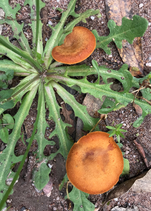 Orange fungus. | 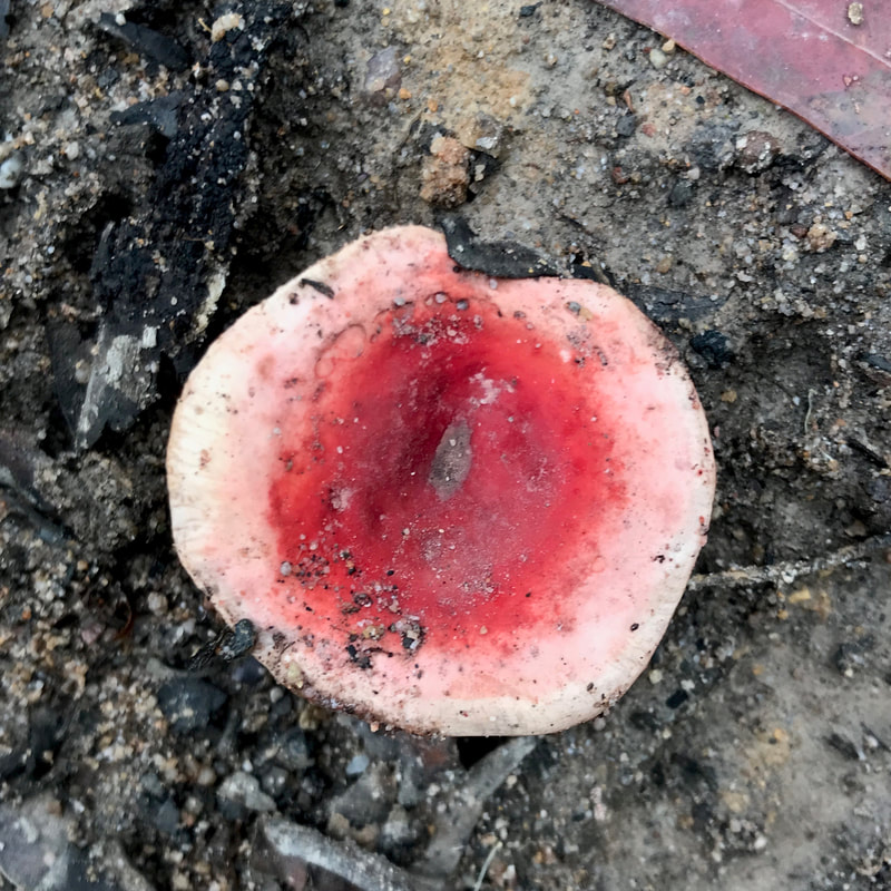 Red fungus, looking a bit rude. |
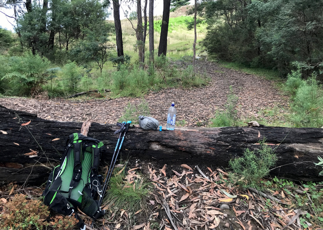 Lunch spot. Even a nice seat (if you like ants and mosquitoes). | 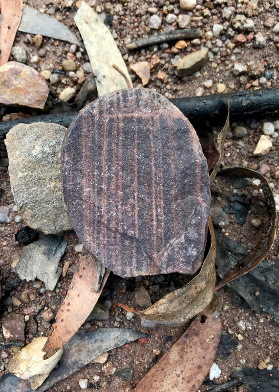 Stripy stone. |
 Do you C? I C. | 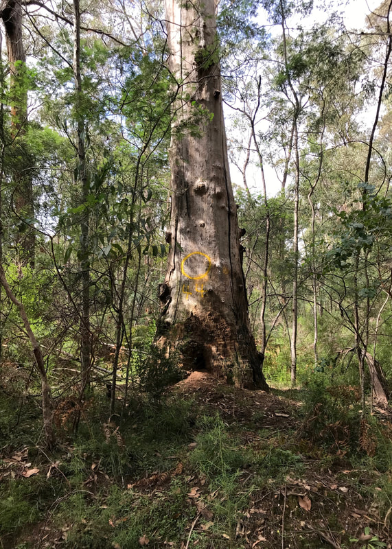 O 44 - not sure what these were all about. |
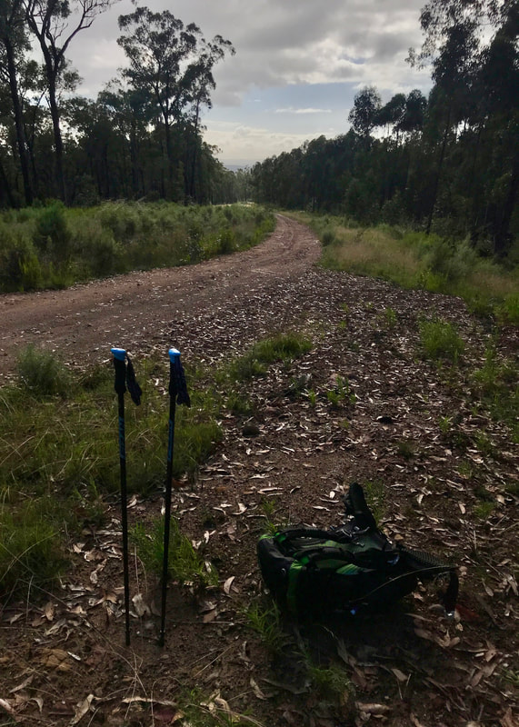
Immediately after lunch, a sharp downhill and uphill. Yuck. But then a stretch of relatively flat walking allowed me to digest. I realised I had started talking to myself at some point. Oh well, the birds weren’t judging me. I hope. With about 6km to go, I called Dan and let him know I should be at Blue Pool before 3pm, so long as I didn’t conk out on the steep climb that I knew was coming. I was getting a little achy as I headed down to the end of the charmingly named Letter Box Road, past signs for planned burns, firewood collection and wild dog baiting. And then I saw The Hill and I wasn’t pleased. Oh well, the only way is up! I ground it out, counting my steps and stopping regularly for a sip of water and to turn around and check if there was a view yet (there wasn’t). Two steep but relatively short climbs later, I was at the top.
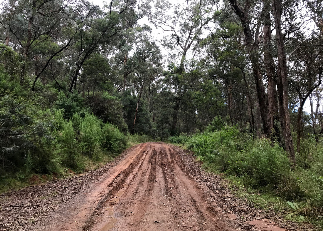
Most of the walk was relatively 2WD accessible, but this bit was a little boggy.
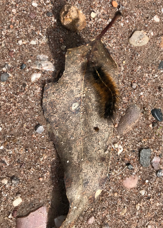 Furry caterpillar friend. | 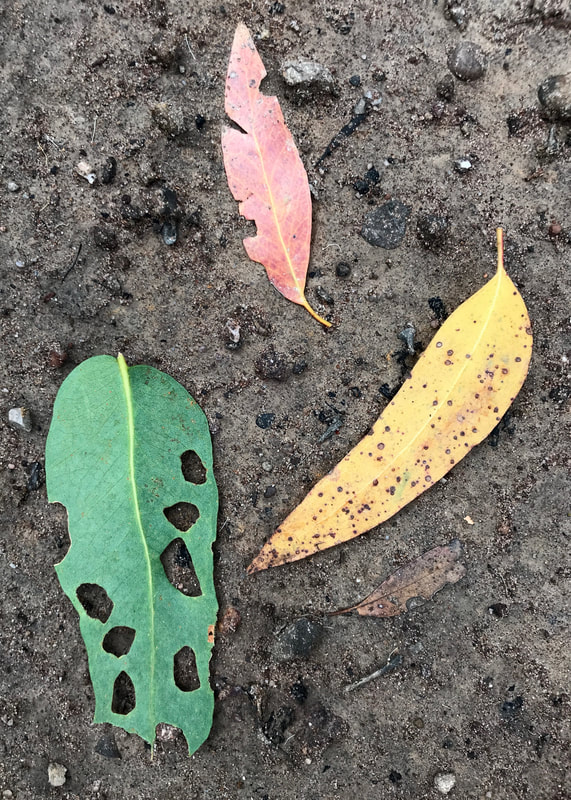 Art just happening in nature. |
I spent the last couple of kilometres down into Freestone Creek following the same route as we did at the end of our Mount Moornapa walk. I reflected on how I felt now vs last time, and concluded that I felt better. The Mount Moornapa walk was shorter, but with more ascent - and really hot. This time I was carrying a bigger pack and went a bit faster.
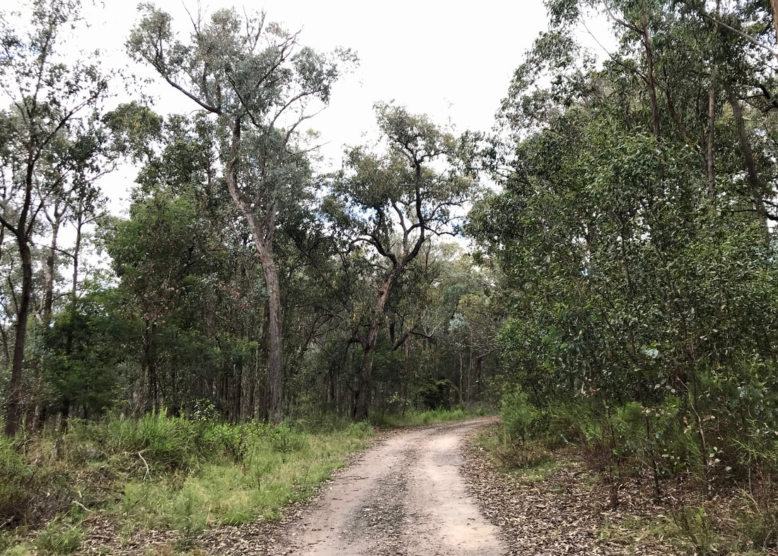
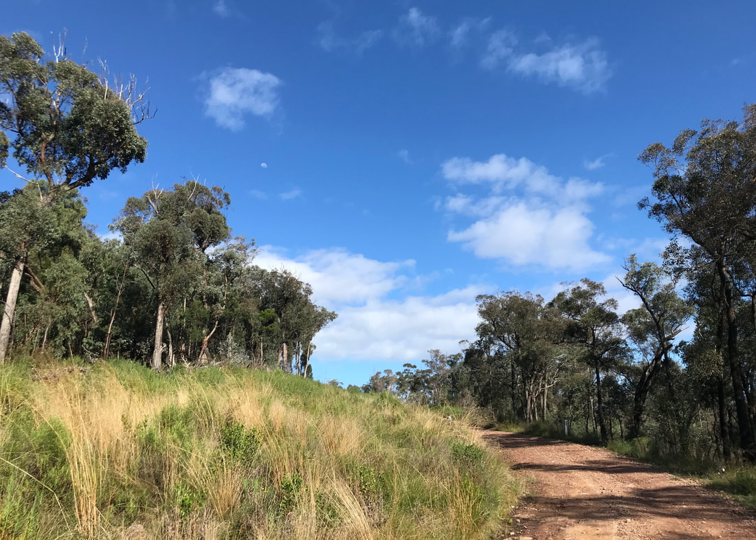
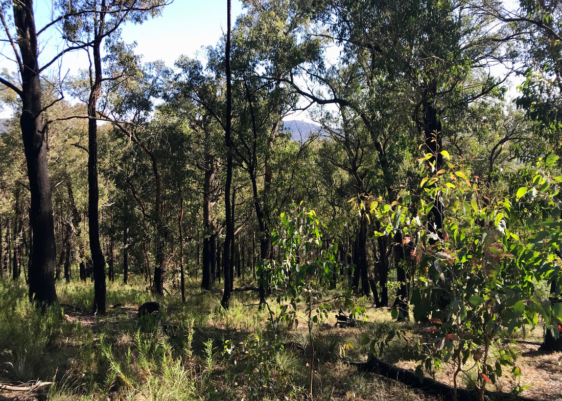
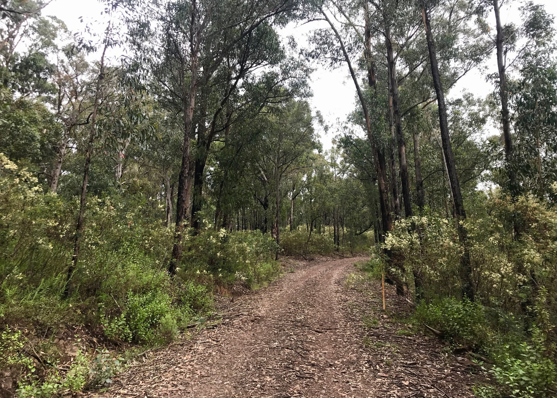
Grey dirt track through the bush. There was such variety on this walk.
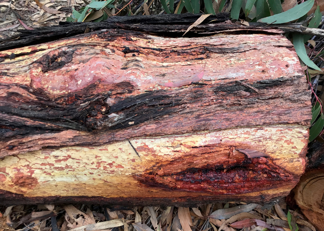 So many colours in a bit of wood. | 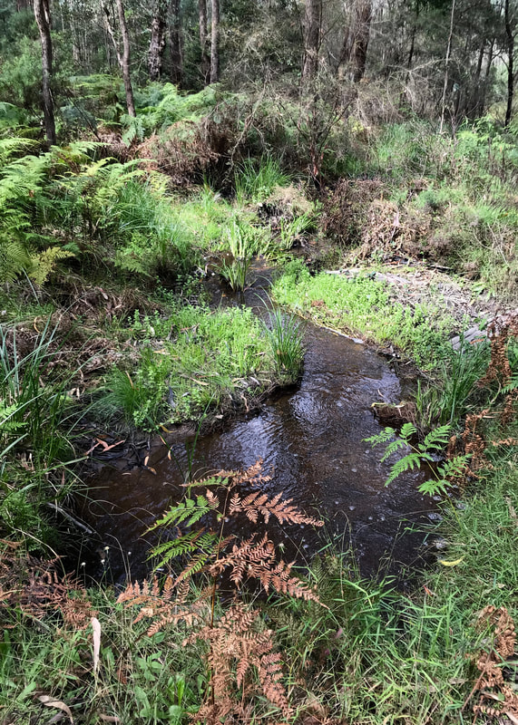 At the bottom of the hill - that means... |
Dan arrived at Blue Pool about two minutes after me. And he brought my swimming gear! So we went down to the water and I had a brilliantly refreshing dip. Again, an excellent end to a walk!
Notes
A total of 19km in exactly 5hrs 30mins. With a break of 20mins for lunch, that’s between 3.5km and 4km per hour. It included >550m of ascent (do you know Naismith’s Rule and variations?). I kept track of my water as noted last time. I carried 2L, drank 1L during the walk, 500mL right after, and another few hundred mL on the way home.
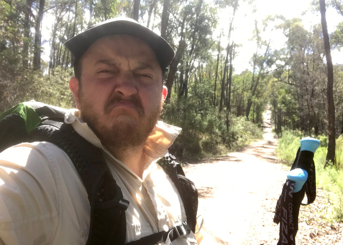
... who ordered this hill?! I don't wanna! (Of course, as always, the photo doesn't do it justice!)
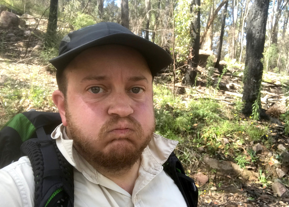
Halfway up the hill. Why do I do this to myself?!
My new Altras didn’t pose any major issues for my feet. I transferred my old insoles into the new shoes to help wear them in (if needed) and to stop my feet slipping around too much - I’ll probably keep them in for one more walk and then swap them out for the new ones. I was a bit sore in the arch of my right foot after lunch. No blister under my toe - that callus is doing its thing. I used my poles, so no falls (only one near-miss) and my knees were fine.
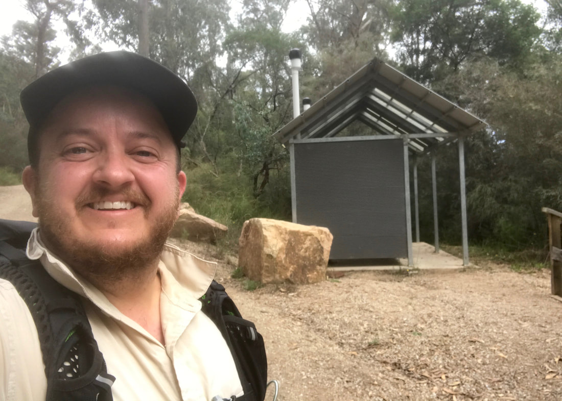
Eyyy! Made it to the end. Never looked so happy to be standing next to a toilet block, haha!
I’m not yet carrying a full load, and I estimate I started with about 6kg on my back (including the backpack) and a bit extra in my bum bag. Speaking of, I found a much bigger bum bag at an op shop the other day and this was my first outing with it. It held everything I wanted and still had space for the things I forgot (i.e. my sunnies!). I will have a go at altering it - maybe make it a bit smaller and hopefully change the angle that the strap joins the bag so it doesn’t jut out at the top so much. I’ll also cut off the zip part from where it used to attach to a big backpack.
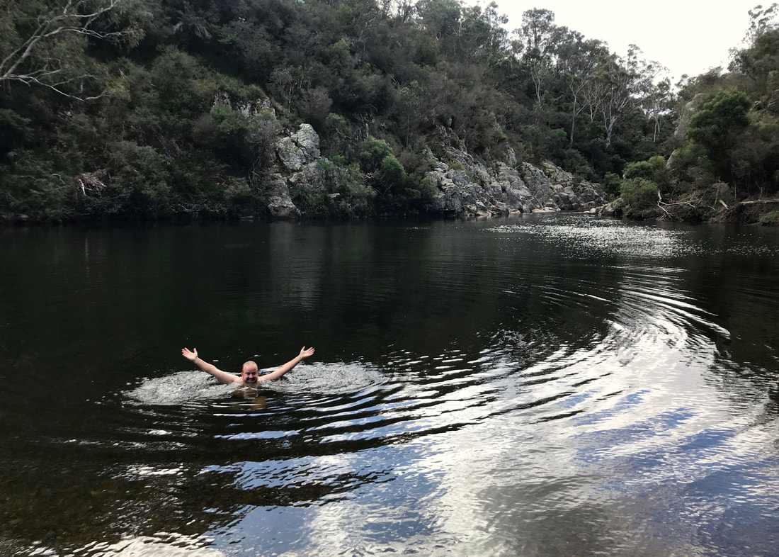
One of the highlights of the walk - a dip at the end. And I had the pool entirely to myself.
Maybe related to using the bum bag, maybe the new shoes, or maybe just the terrain, my hips and lower back were quite sore after the walk and into the next day. My calves and thighs were also very tight, so I made sure to stretch immediately after, that evening and the next day.
This walk is on Brayakaulung (GunaiKurnai) Country. Sovereignty was never ceded and this always was, and always will be, Aboriginal land.
 RSS Feed
