A walk through varied bushland in Providence Ponds Flora and Fauna Reserve, with sandy soils, wetlands and lots of wildlife.
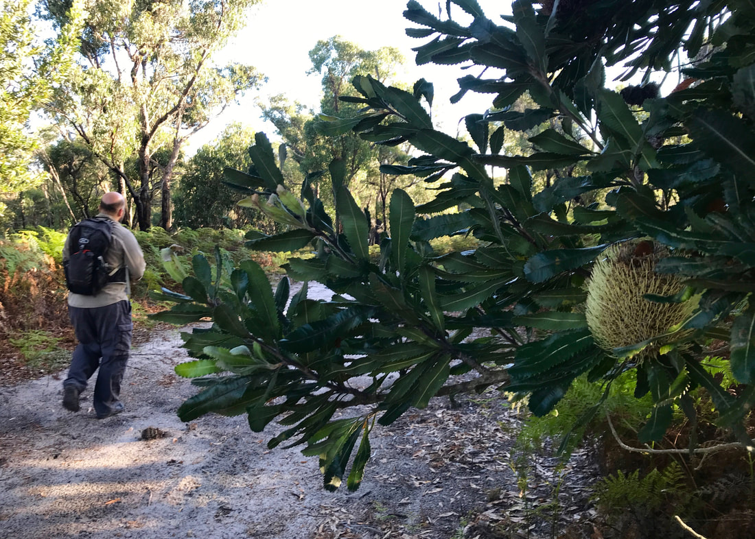
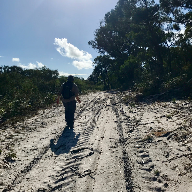
Dan (and a banksia) near the start of the walk at Providence Ponds Flora and Fauna Reserve.
Our first attempted walk in March was a washout - early on, we met a flooded creek crossing that was a little too hairy for us (waterfalls, rapids and rocks included), so we abandoned the hike in favour of clambering up and down a few shorter hillside paths, then completing a side trail that was more of a gently flowing stream. We had fun and got absolutely soaked, but we only walked about 4km. We’ll try that track another time.
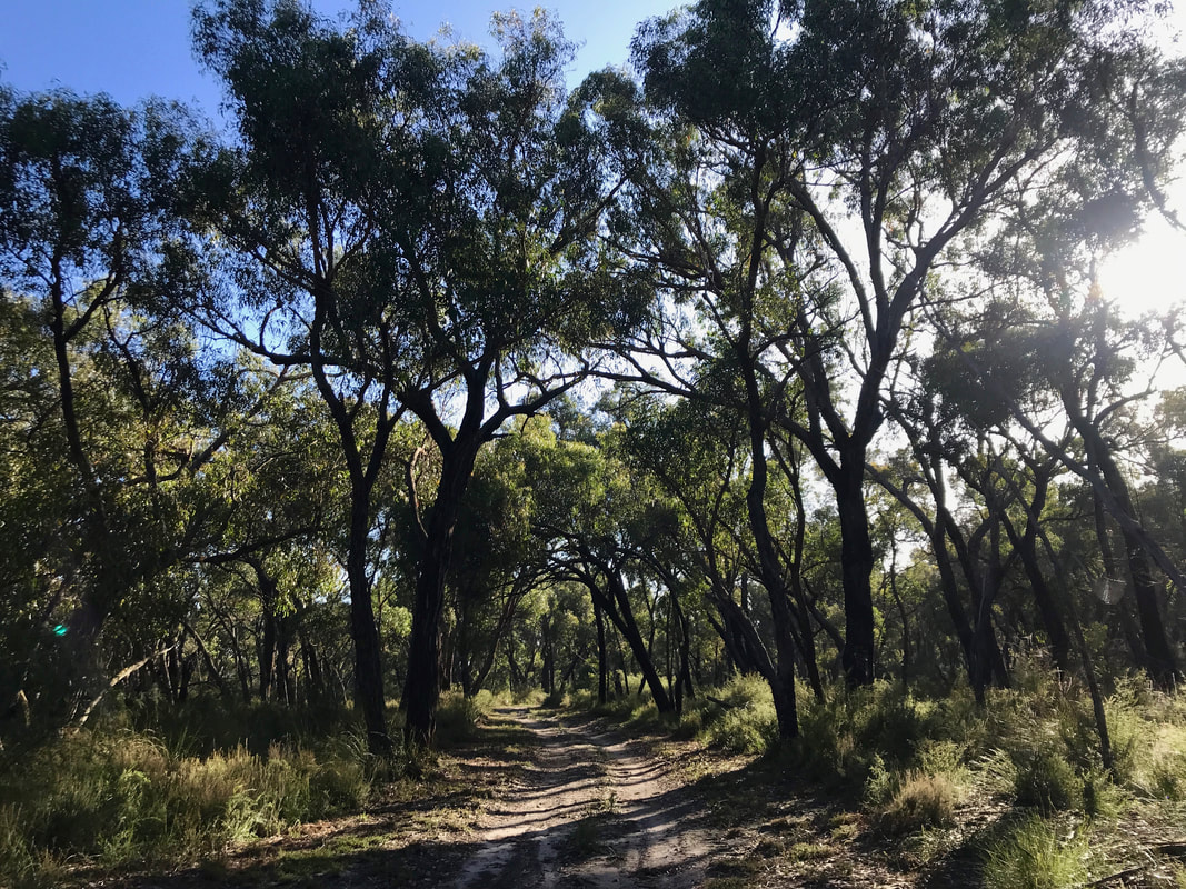
Early morning shadows and shorter trees curving over the road.
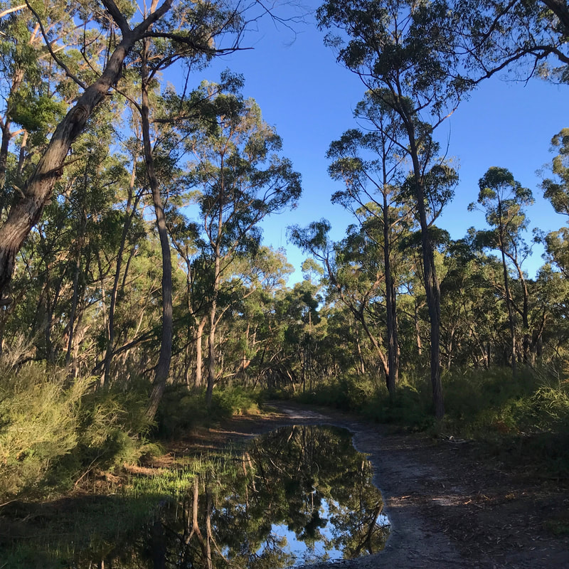 Puddle reflecting trees and blue sky. | 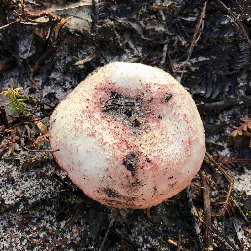 An interesting mushroom with pink flecks. |
A couple of days later, after the rain had passed, we went to Providence Ponds Flora and Fauna Reserve for what we hoped would be a better shot at getting 20km under our shoes. The forecast said possible showers, but once we’d found somewhere to park, we crossed the Princes Highway under bright skies. It wasn’t warm, though, and I was stoked for a dry, cool day - the best weather for walking, in my opinion. After a little detour (false start!), we made our way onto the correct path and followed it without issue all the way north to the railway line.
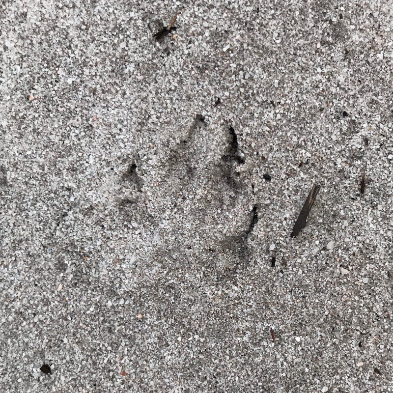 Fox (I think!) tracks | 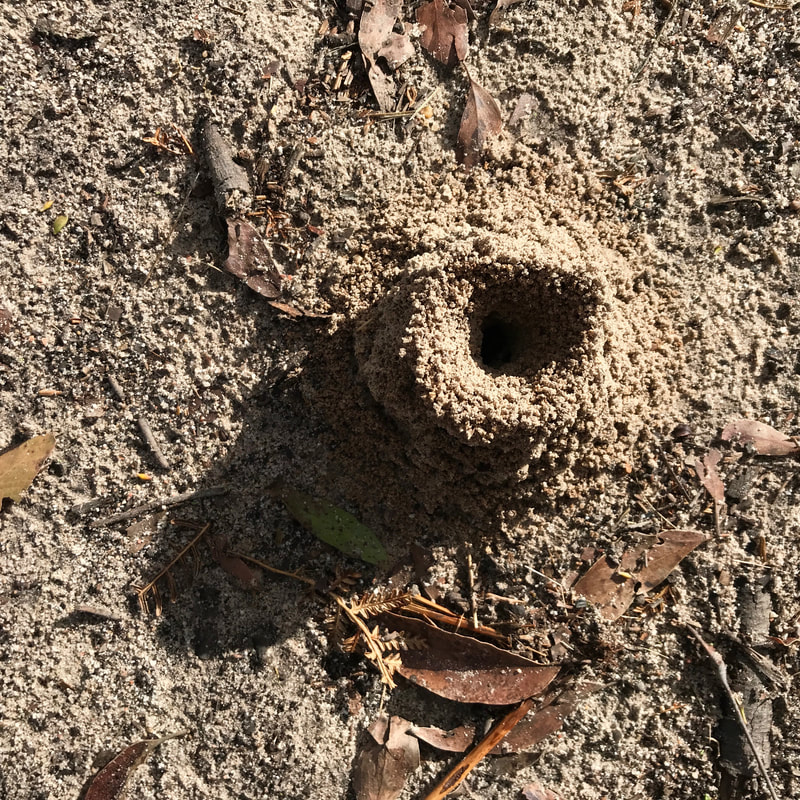 Ant hill with a long shadow | 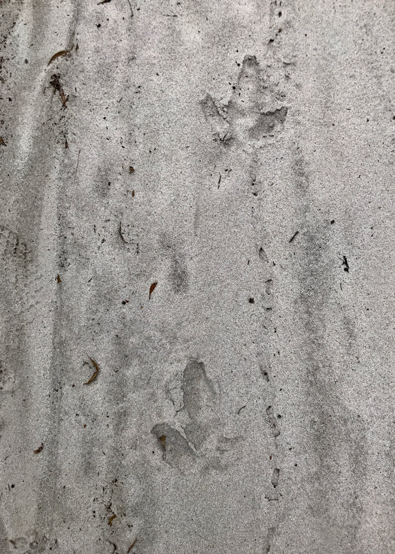 Emu tracks |
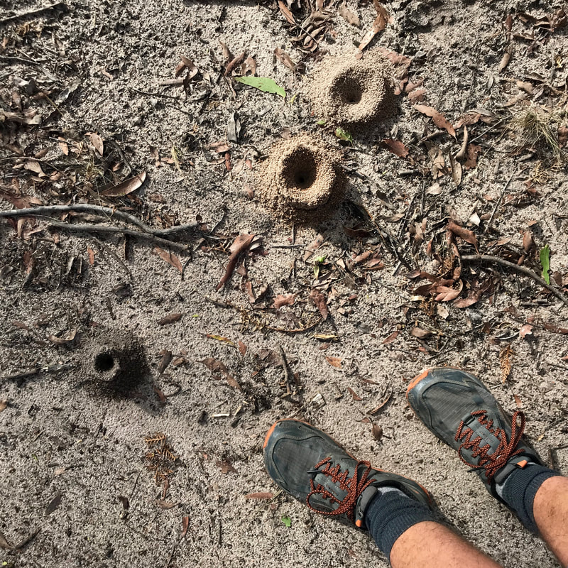 Ant hills with feet for scale | 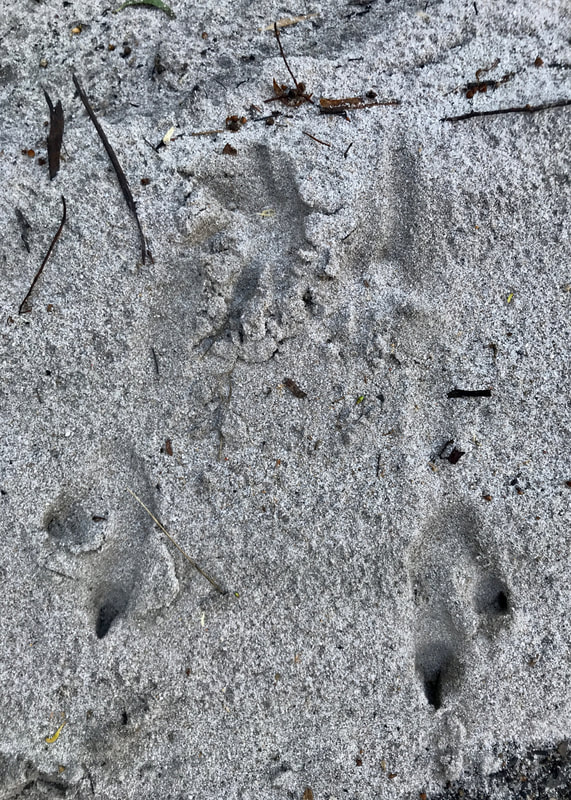 Kangaroo tracks | 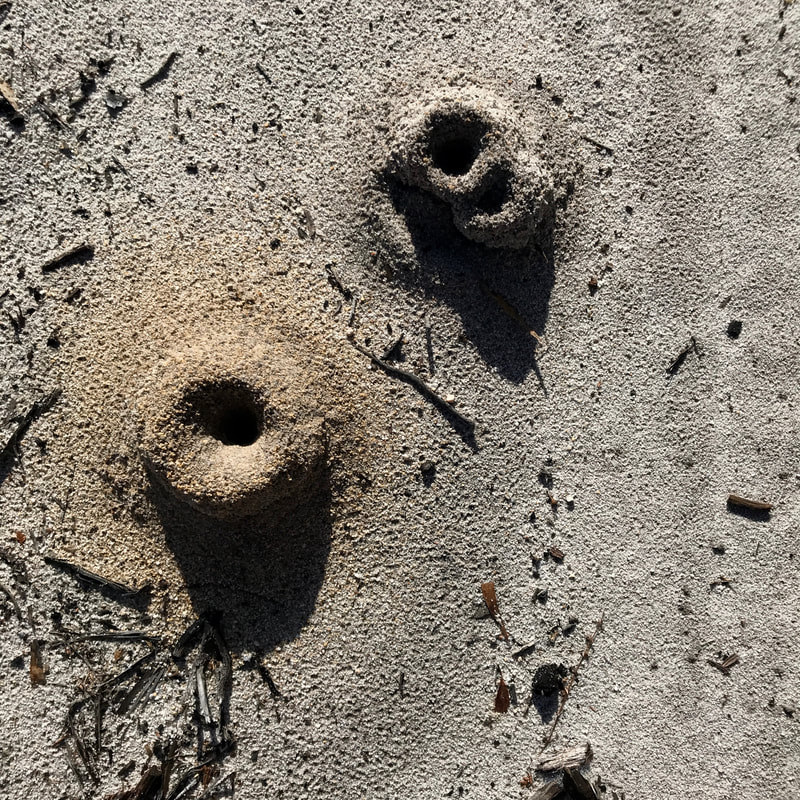 Ant hills in the sand |
The track was often grey sand, which was soft to walk on and afforded us the opportunity to do some vicarious wildlife watching. We spotted lots of kangaroo and wallaby prints as well as fox and possibly feral cat tracks. There were some mysterious lines that looked like something small burrowing just under the surface of the sand. And later there were emu tracks, too. I guess I’m burying the lede here, because we also saw two emus, a few wallabies and a small mob of kangaroos. The ants had been very busy building their tiny iron age hill fortresses, and we also walked through a few clouds of butterflies. We spotted and heard heaps of birds apart from the emus: choughs, magpies, currawongs, butcherbirds, wattlebirds, two cockies (who absolutely screamed the bush down when they saw us), rosellas, wrens, flycatchers, fantails and loads of other twitchy, chirpy little things. Of course, with the eponymous ponds, there were loads of frogs. The whole walk, once we got away from the highway, was an aural treat.
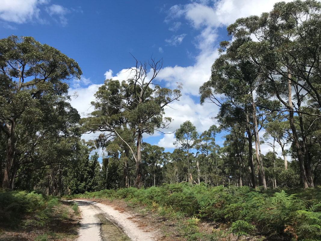
Path, trees, skies. It looks nice here, but it was just so lovely in real life!
 A dead tree trunk beside the road. | 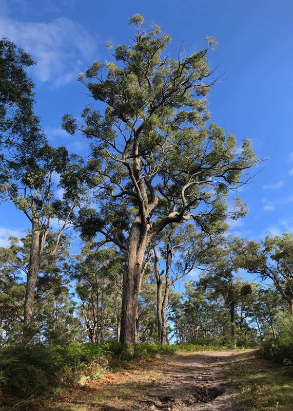 Interesting tree! |
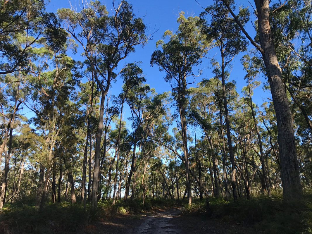
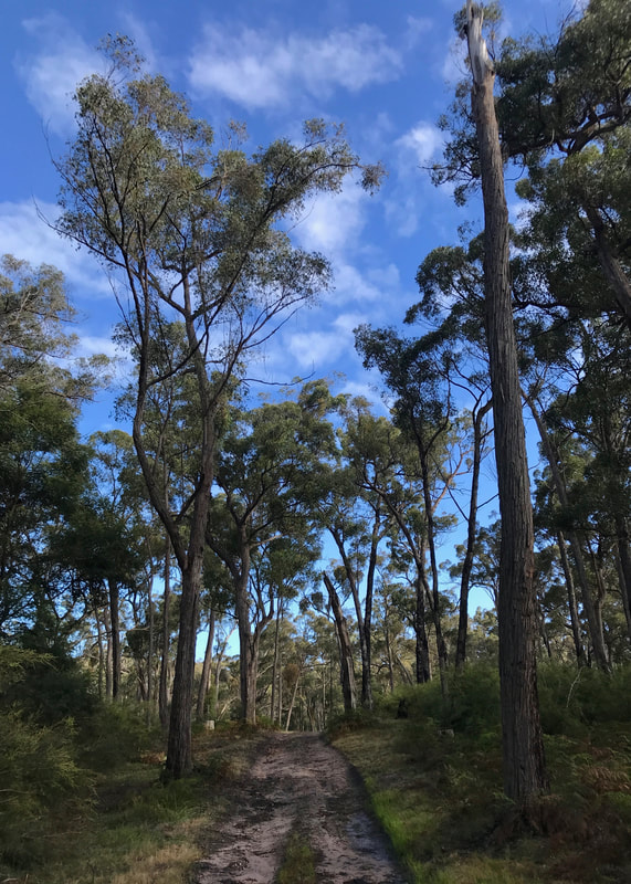
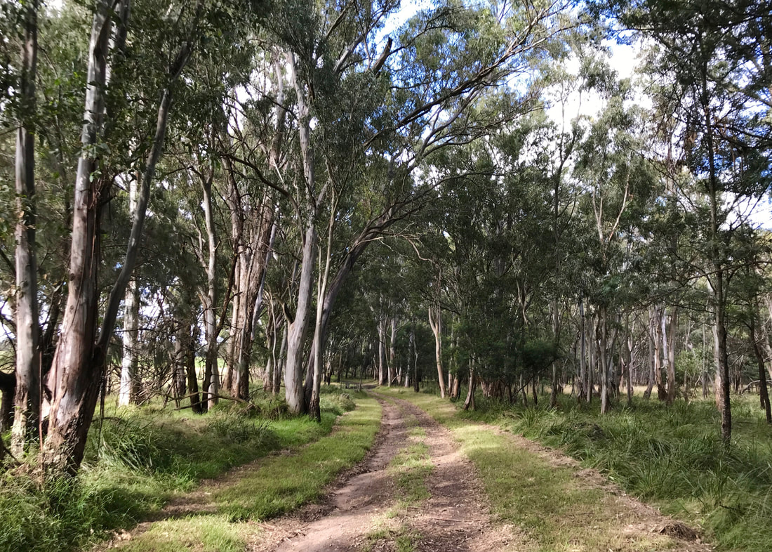
One of my favourite things about this walk was how the bush changed as we walked from one small rise to the next, from banksias to widely spaced stringybarks to views of low-lying heath and marsh. Later, on the northern and eastern stretches, we walked through red gums (I think) and stands of box, and around what might be permanent water completely hidden below bright green reeds. It’s a lot of variety for such a small area, and I’m already looking forward to heading back for another walk and showing other people.
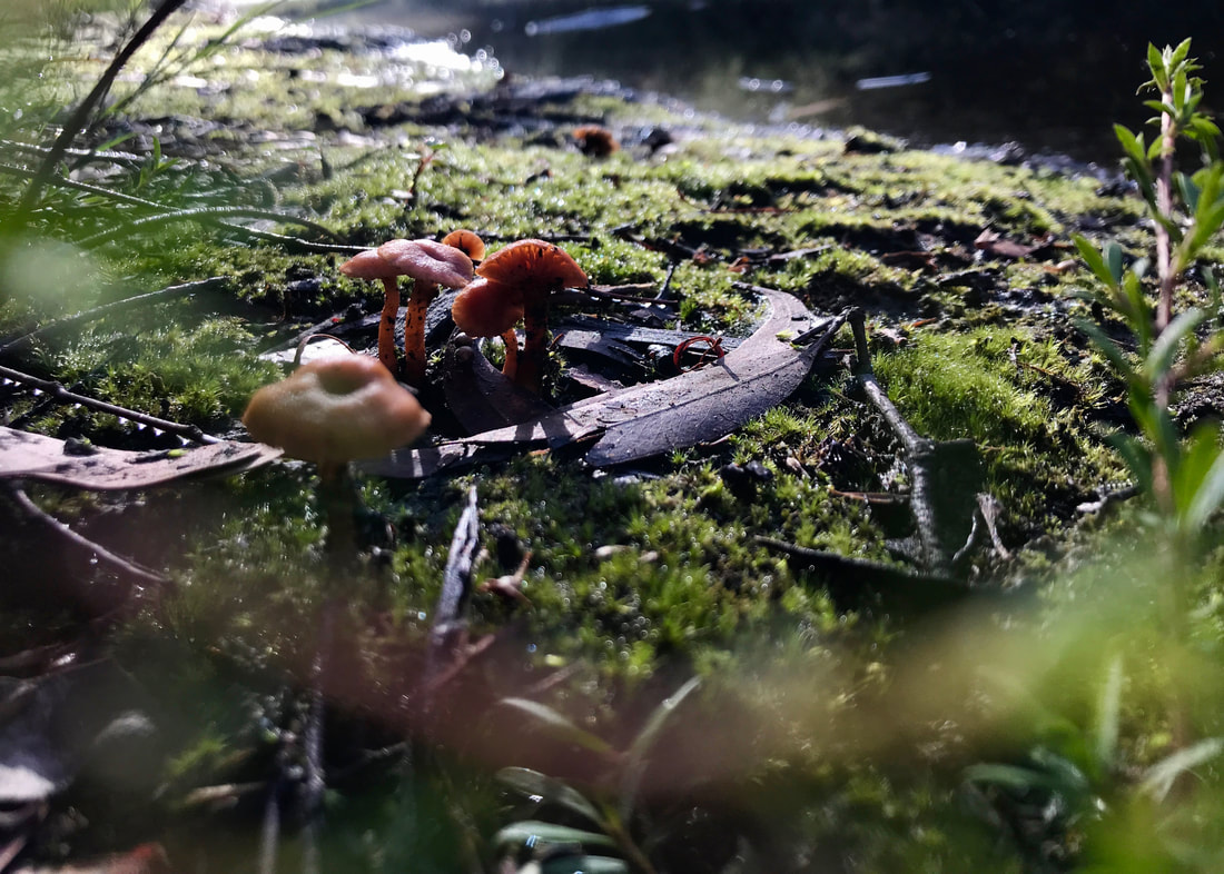
A little fairyland scene of tiny orange mushrooms on moss.
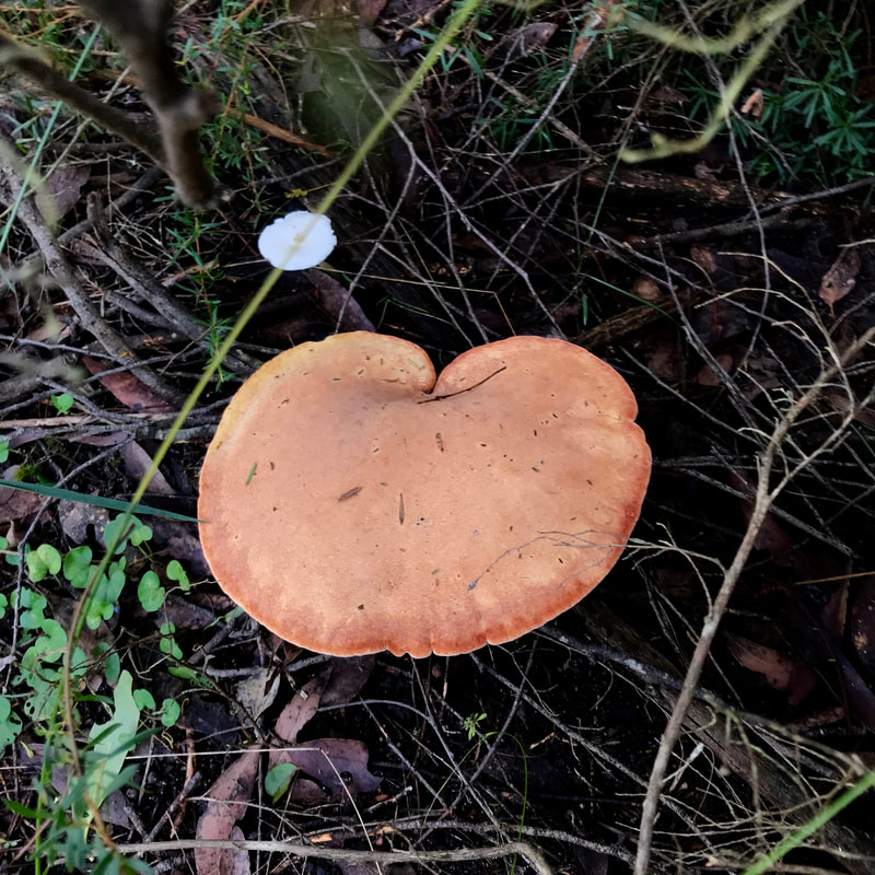 Butt-shaped fungus. | 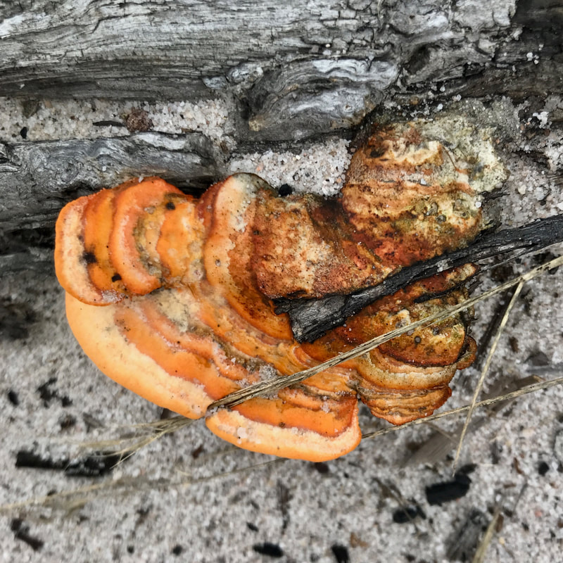 Orange bracket fungus. |
When I mentioned to my folks that I was planning a walk at Providence Ponds, they said they'd heard that this was the site of a massacre of Indigenous people. I can’t find any mention of this when searching online for Providence Ponds or Perry River plus various keywords. (Peter Gardner mentions the Perry River in his notes, but that massacre site is down near the Avon. There’s also a novel called Providence Ponds which is supposedly fictionalised but which "includes hostile encounters with Aboriginal people" - I haven’t read it.) This doesn’t mean that Indigenous people weren’t killed here. What I can say is (a) the landscapes we walked through looked like they would have been excellent for living, with water nearby and park-like forest for hunting, so I can easily believe that Brayakaulung/Gunaikurnai people would have gathered and spent time there; and (b) if one wishes to avoid walking through any sites of genocidal violence towards and dispossession of Indigenous people, then one must avoid walking anywhere in so-called Australia - not merely at sites of known massacres. The fact is that all the walks, all the journeys, all the living that I do here is done on Country that has been stolen from others.
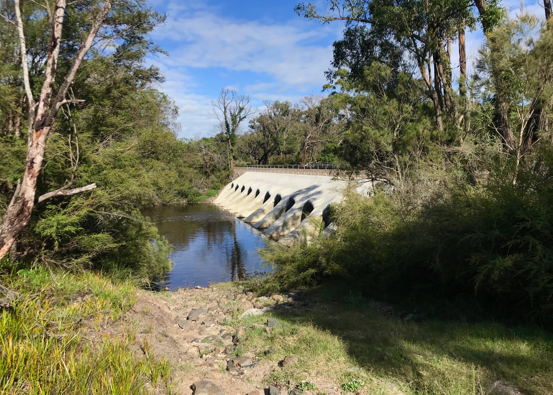
The rail bridge over Perry River, with multiple pipes/culverts running under it. The road near here was blocked by water on our previous outing (it was still covered).
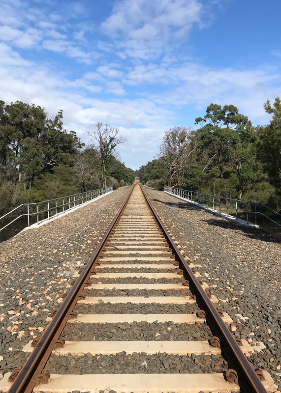 Rail line looking west. | 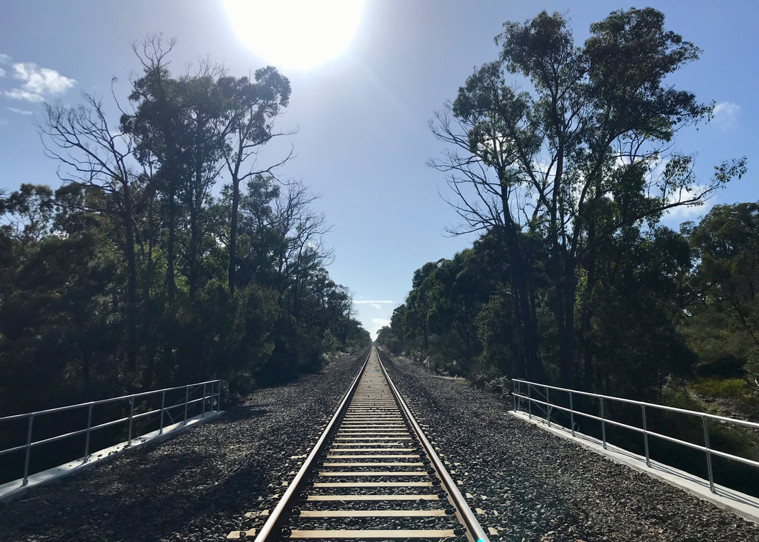 Rail line looking east. If only the sun had been a little further to the right for symmetry! |
The rail line formed the northern border of our walk, though the reserve continues on the other side. We saw a maintenance vehicle heading along the lines (a ute on those rail wheel things), followed soon after by a little digger, also zipping along the train track. No train, though! We didn’t encounter any other vehicles, apart from on the highway, but we did see fairly fresh dirt bike tracks (explicitly prohibited according to the signs), which we followed most of the way.
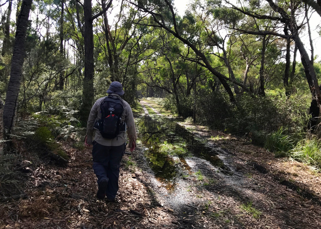
Dan skirting around a big puddle on the northern section of our walk, parallel to the rail line.
 Dan on a particularly sandy bit of track. | 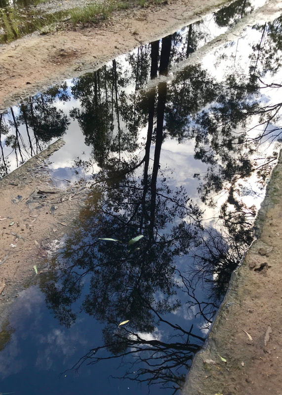 Sky and trees reflected in a puddle. |
On the eastern side of the reserve, just after we turned south away from the rail line. Very different trees here.
Heading south on the eastern edge of the reserve, we walked alongside farmland. Then we hit water. Now, we’d skirted a few road-width puddles, but this was a bit more than that and would have required some over-the-knee wading. We recalled seeing a track earlier on that wasn’t marked on the map, so we thought we’d retrace our steps and take our chances on that. This turned out to be a good decision, and I think the unmarked track is basically the road that everyone uses here - it was slashed, and those ever-present dirt bike tracks led the way. We passed some bee hives and another pond full of frog song, then found a nice spot for lunch.
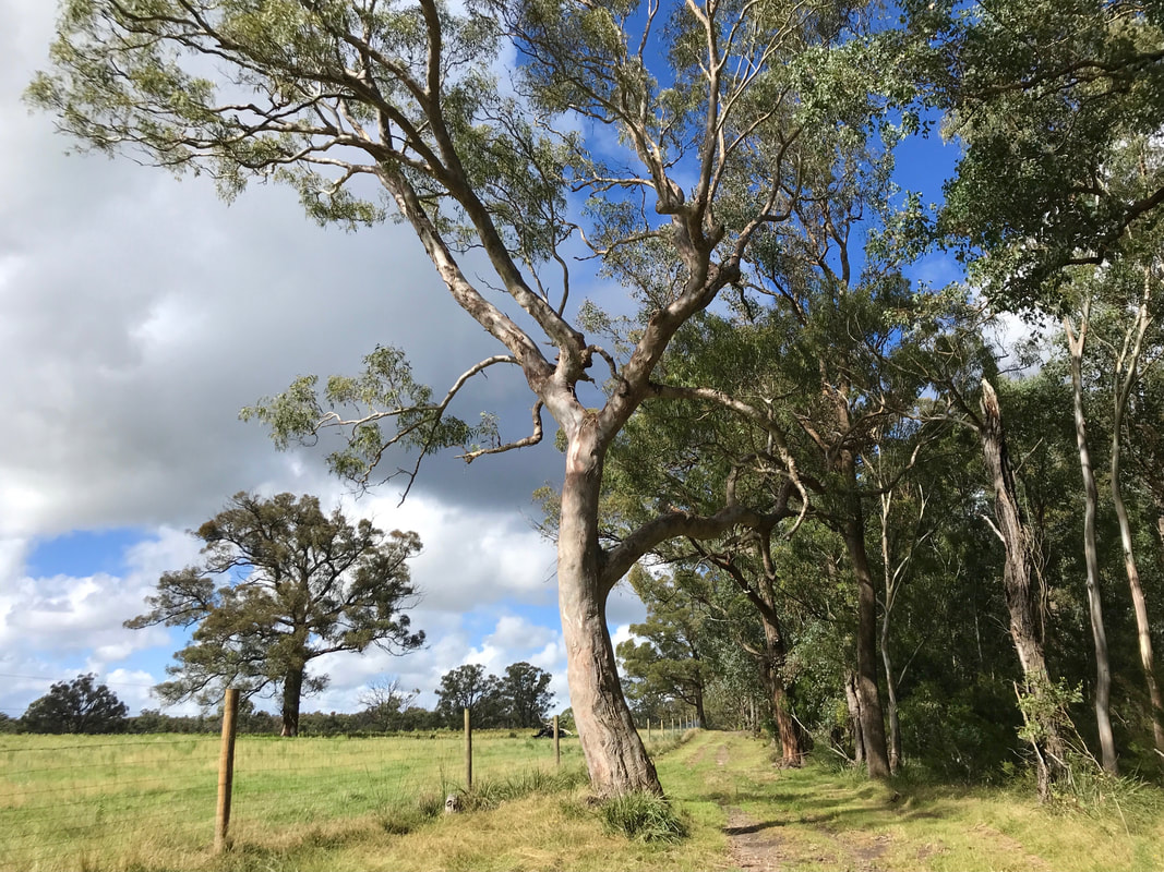
Reserve vs farmland. And another great tree!
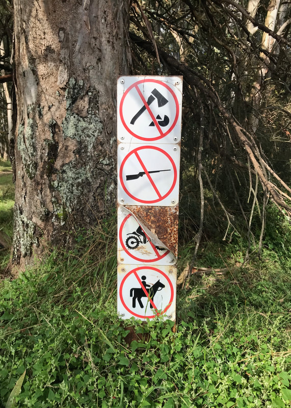 No firewood collection, firearms, motorbikes or horseriding. | 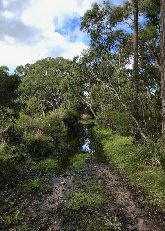 The water that sent us on a detour! |
As always, I felt a little sluggish after lunch, but a few mozzies and a disinclination to catch Japanese encephalitis got me going quickly enough. We’d got the hang of the boundary track, now, and when we saw another unmarked road leading off it, we knew that a little further on we’d find the official route underwater. Soon enough we found ourselves back almost to the highway, then alarming a mob of kangaroos on a road that skirted around a long lake (possibly the eponymous ponds), and then on the very sandy access track below the power line.
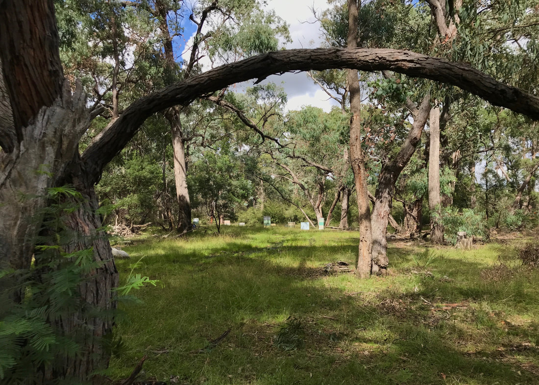
A beautiful spot among the box trees on the detour. There were heaps of bee hives here.
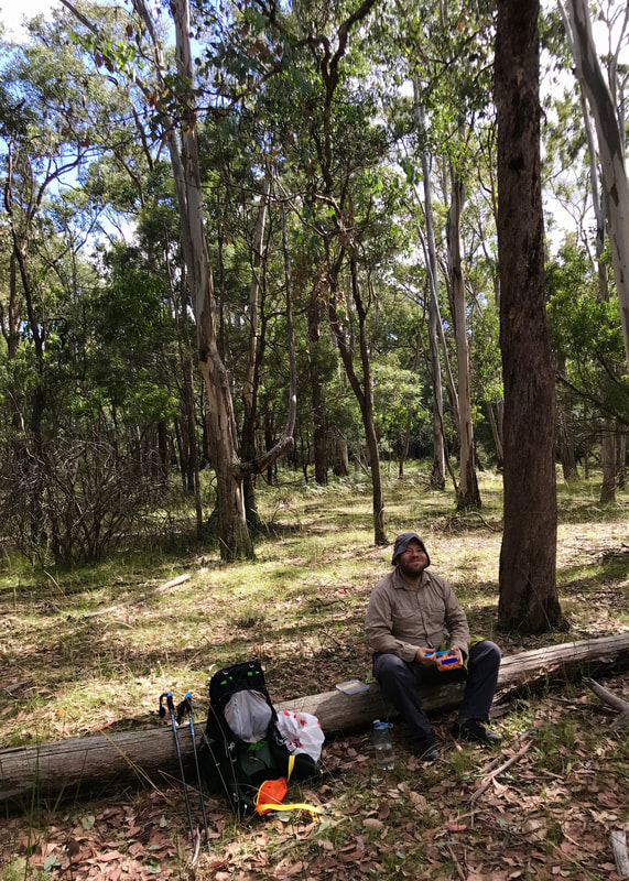 Lunch on a log! Leftover sweet potato salad, yum. | 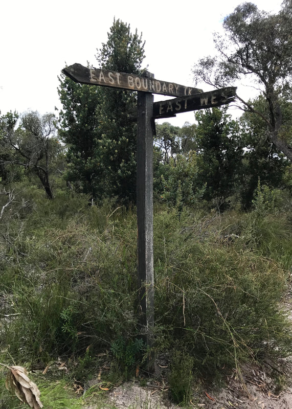 The only road sign we saw, and it didn't match the track names on the map! |
Back at the car, Dan decided to rest, but I knew I needed to get another couple of kilometres in to reach my quota. I ditched my pack and did a quick 15 minutes one way, then turned around and came back. It was enjoyable, but it seemed to me that the landscape north of the highway is a little more interesting!
Notes
The track was often sandy - sometimes extremely so! Mostly it was pretty nice on the feet, but sometimes it meant working a little harder to push forward. Overall, though, with the small undulations, it didn’t feel too difficult. After taking the pack off and leaving it in the car, the last couple of kilometres were easy. That blister appeared again, though interestingly it didn’t hurt until I started walking without my pack. Perhaps this is because my foot works differently without the added weight.
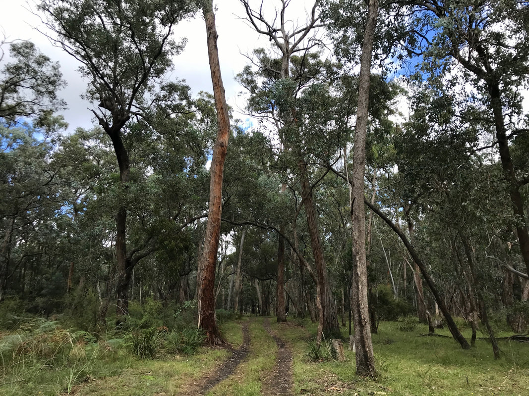
Heading through the woods - box trees and stringybarks (I think) with a grassy understory.
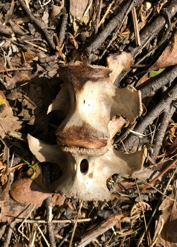 Vertebrae. | 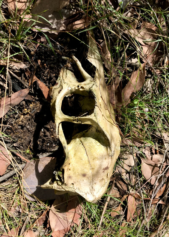 Skull of the last walkers who took this detour. |
I was extremely achy all afternoon after this walk. It’s the first one of the year where I really felt like I’d done a big walk. I forgot to massage my feet, so they were a bit sore in the morning. In fact, everything was a bit sore in the morning - lower back, thighs just above knees, feet and ankles. Two days later, the main memory in my body was tightness and tenderness in my calves - I stretched them out, but I probably need to get a massage at some point. I also had some residual achiness in my forearms from using the trekking poles the whole way.
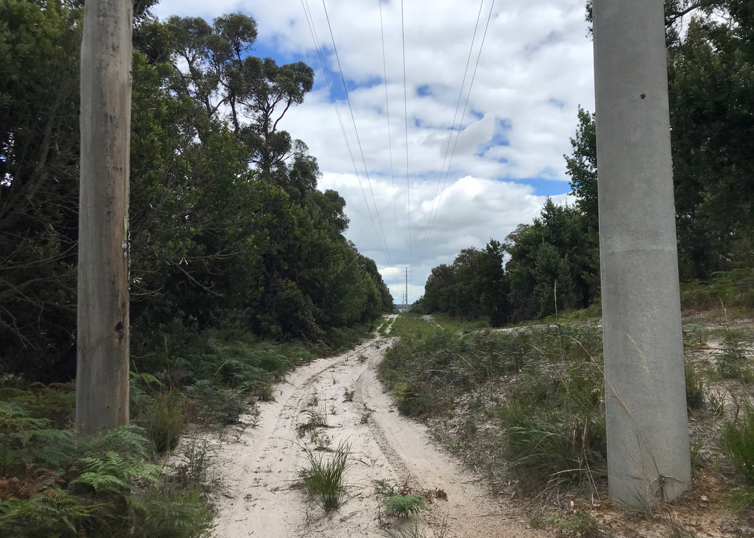
Near the highway, we followed the sandy track under the power lines.
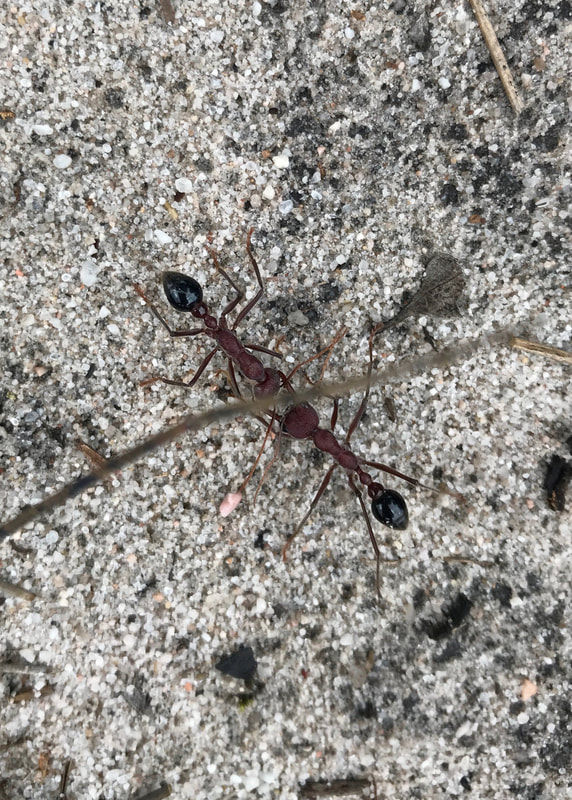 Ant wars! | 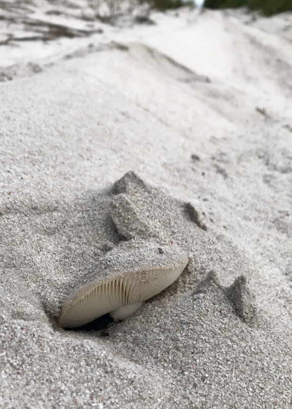 Sand mushroom. | 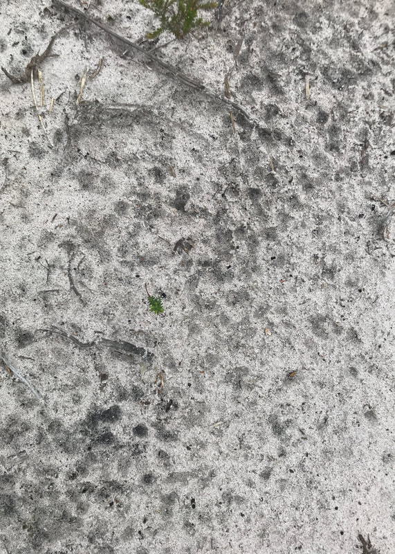 Raindrop marks beneath power lines. |
In terms of equipment, I’ve been trialling carrying my phone and a few bits in a bumbag (I know, highly fashionable), which works OK. I am going to try to find a bigger bumbag with some kind of waterproofing. I’d like to be able to carry my phone and audio recorder (and sunnies case and a snack) that way for easy access. When the phone’s in my pocket it gets wet in rain, when my audio recorder is in my bag, I can’t always be bothered stopping to get it out, so I miss things.
The road I walked solo, south of the highway, to get my kilometres in while Dan had a rest!
On this walk, I managed just under 20km in about 5 hours and 45 minutes. This included a break for lunch, and a few stops to regroup and make decisions about what to do with various detours, so I make that a little under 4km per hour while walking. I don’t go out to try and walk at this pace - it just happens! This will be a great place to come back to with a fully loaded pack and/or to do some even longer walks. There’s enough variety in terrain, surface and scenery to keep me occupied without requiring too much navigation or decision-making (now I know how to avoid the flooded bits).
This walk is on Brayakaulung (GunaiKurnai) Country. Sovereignty was never ceded and this always was, and always will be, Aboriginal land.
 RSS Feed
