Exploring an intriguing geological feature on my mum’s birthday.
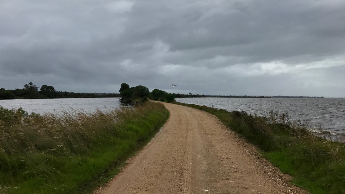
A swan flies across one of the narrowest stretches of the silt jetty, the land barely wider than the road. The end of the jetty curves out to the right.
I’d had the silt jetties down near Paynesville on my list of places to check out since before we got back to Australia. So, when Mum suggested it for her birthday walk, I agreed post haste!
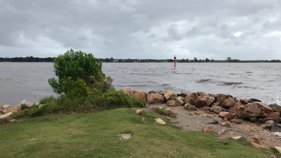
Before we started, we called into the lookout point on The Bluff at the start of the silt jetties - it was a bit cloudy, misty and drizzly, though!
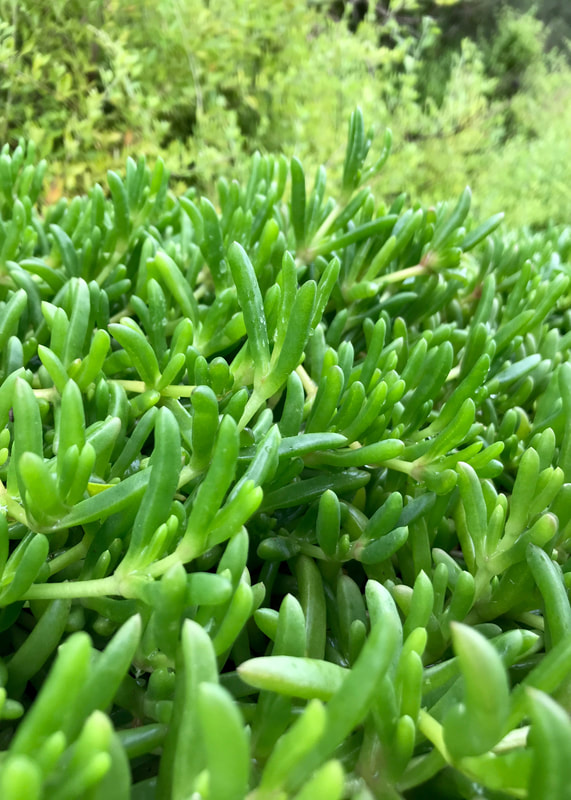 Pigface - bush tucker. | 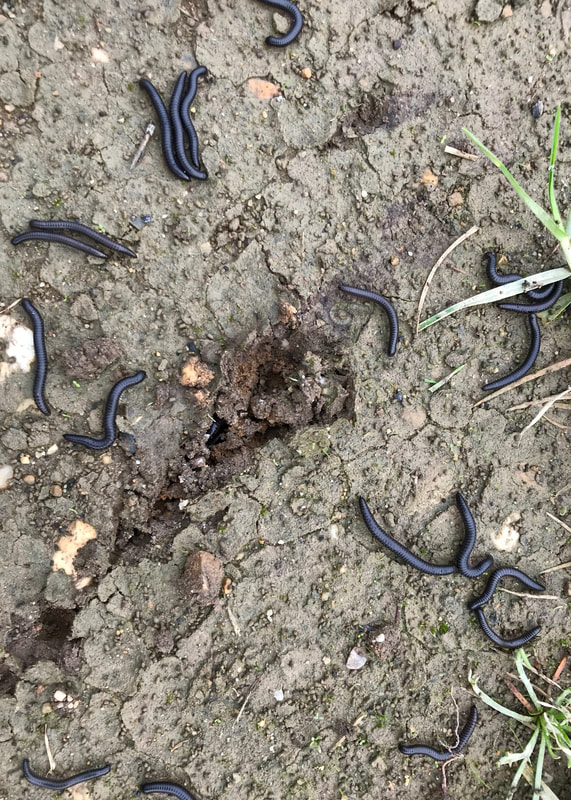 Millipedes - not bush tucker (for me, anyway). |
What are silt jetties? Good question. They’re a kind of delta (more specifically a kind of digitate delta), where the sediment coming down a river is deposited in such a way that it extends the river’s course out into another body of water in a long ‘finger’ (digit). Rather than the splitting and braiding of the classic delta system you might have learnt about in high school geography, the thin strips of land that make up the silt jetties here at the end of the Wy Yung (Mitchell River) keep the river in a single channel. It extends almost all the way across the part of the Gippsland Lakes system where the river emerges. It is possibly, from my 15 minutes of research, the longest example of this kind of single-finger delta in the world. (But see also birds foot deltas such as the Mississippi - also digitate deltas, and much bigger!)
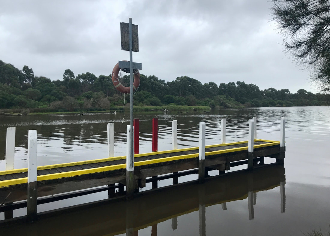
A jetty on the jetties! This was at the car park where we started the walk. It was not closed.
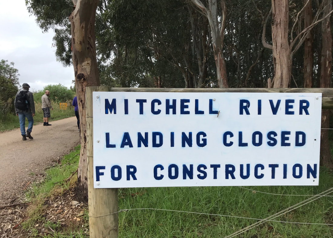 However . . . | 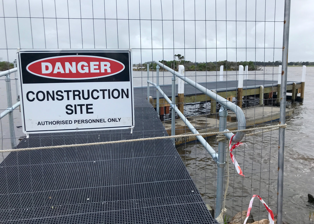 . . . this one was. |
Anyway, this background information is perhaps the most interesting thing about this walk! The silt jetties look amazing from the air, but of course as you walk along them, it mostly just feels like any other river and/or lakeside walk. The few exceptions to this are the moments where the jetty arm is so thin that it’s only wide enough for the road and a little strip either side, and right at the end, when you really get a sense of being in the middle of a larger body of water - just as you do when you walk to the end of a long, human constructed pier or jetty.
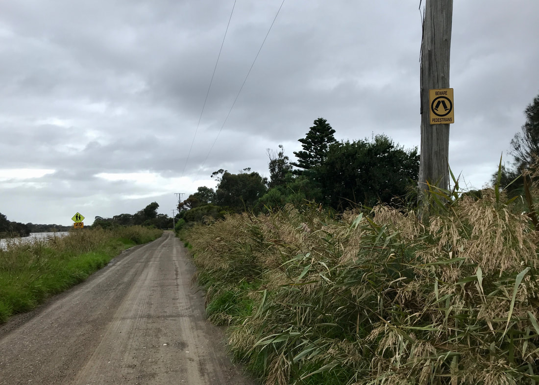
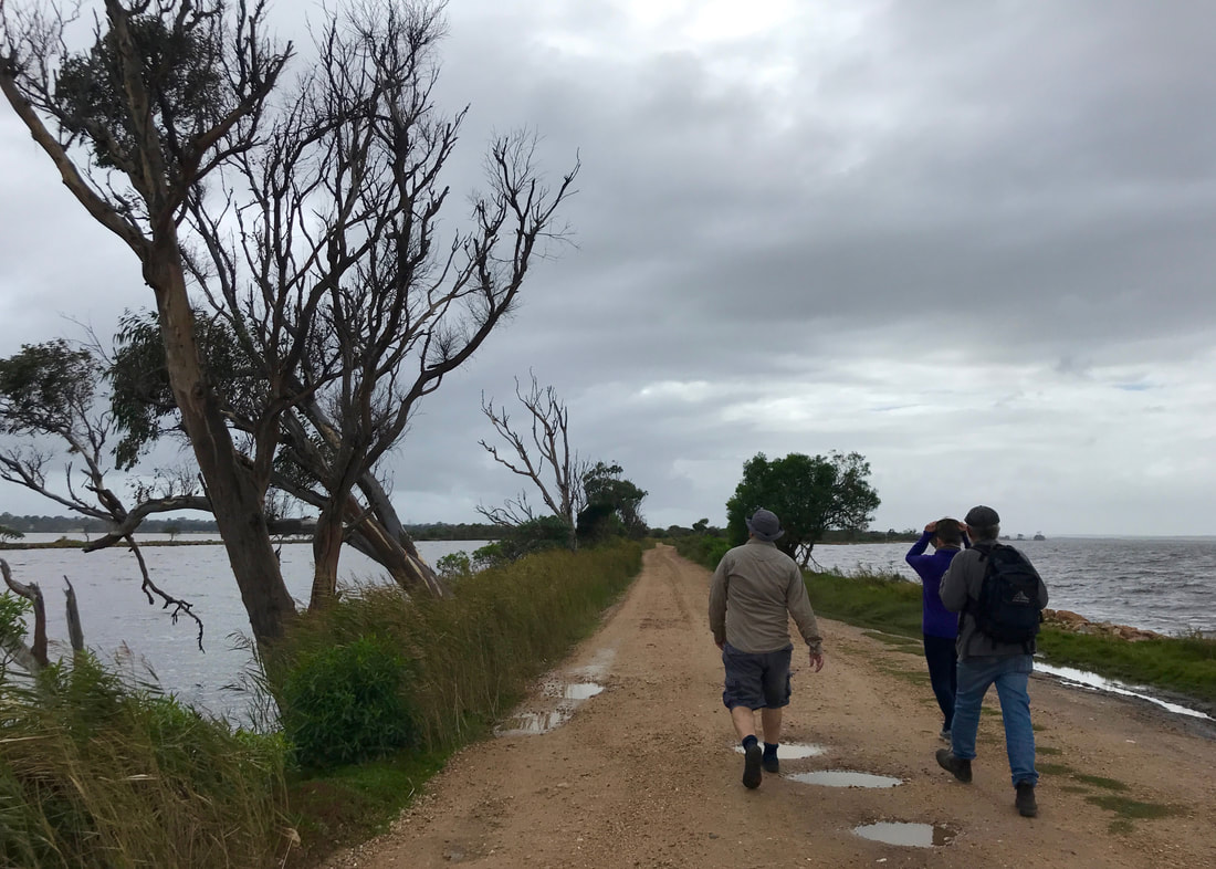
BEWARE PEDESTRIANS and other signs indicating that people are often walking along this road!
A magpie that sat in this tree and watched us go past. Mum tried to get it to warble by burbling at it, but it just gazed disdainfully at her.
There was a lot of rain around the area during the week we were away, but the day we went for this walk it started cloudy with no rain on the forecast. We strolled past the houses strung out along the jetties (probably somewhat precariously given predicted climate change and water level rises), stopping to chat to some people building a high fence and their friendly boof of a dog. The road turned to gravel and we enjoyed the protection against the wind that the vegetation provided - it wasn’t super cold, but the breeze had a bite to it! The last couple of houses were beyond the power lines, so I presume they were running off grid with their solar panels and perhaps a generator.
Heading down the road on a thin part of the silt jetties - and is that a tiny glimpse of blue sky?!
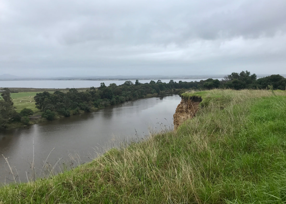
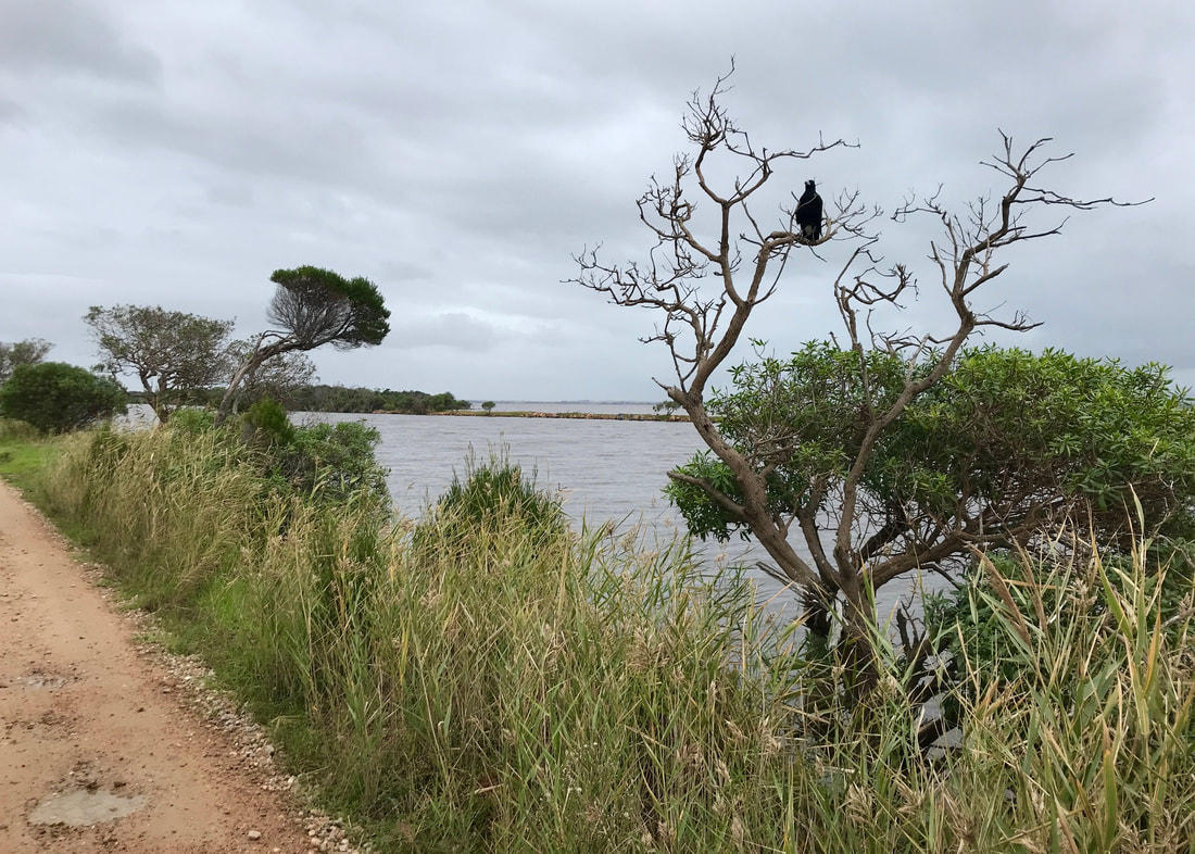
At points, the jetty is very narrow - barely more than the road width - and at other times it is much wider, with vegetation and grass clearings with a few kangaroos. Information signs told us that since colonisation and the opening of the lakes, erosion has been an issue here. We could see that rocks have been placed all the way along the edges of the jetties to prevent them from eroding further. If the rocks hadn’t been put there, the jetties would now be a chain of small islands, rather than a continuous strip of land.
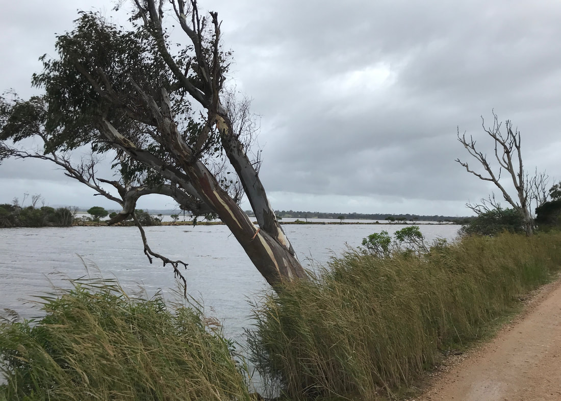
You can really see on the arm across the river how vulnerable these jetties have become to erosion and any rise in water levels.
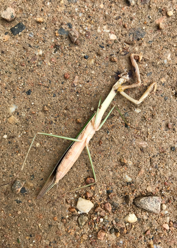 Dead praying mantis. (Or stick insect?) | 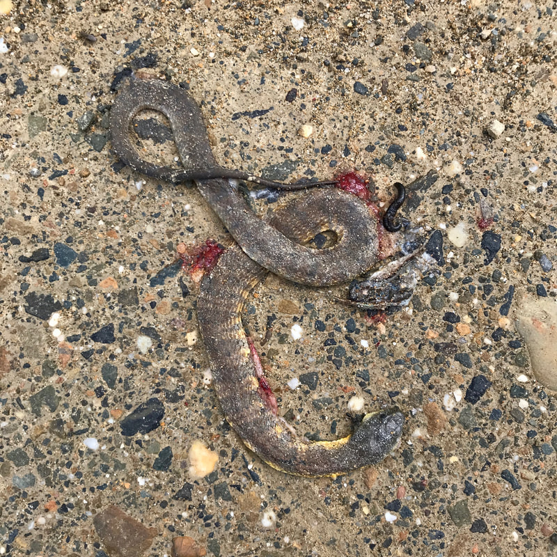 Dead juvenile tiger snake - look how yellow the underparts are. |
Along the way we saw various waterbirds - mostly pelicans, cormorants, ducks and swans - as well as swallows, shrike thrushes and a couple of magpies. We also found a dead juvenile tiger snake and a dead praying mantis on the road. At the end, we walked past the car park and right to the tip of the jetty, where we looked over what was now quite a narrow strip of water towards the opposite side of the lake. We could make out places we’ve visited and walked since we came back to Australia - Raymond Island, Paynesville and Tambo Bluff near Metung.
The end of the jetty! It was remarkable how close we were to the other side of the lake.
After making it to the end, we backtracked a little way to a waterside spot with a couple of benches, out of the wind, perfect place for a cup of tea. A clutch of baby huntsman spiders also thought it was a perfect place, but that’s another story!
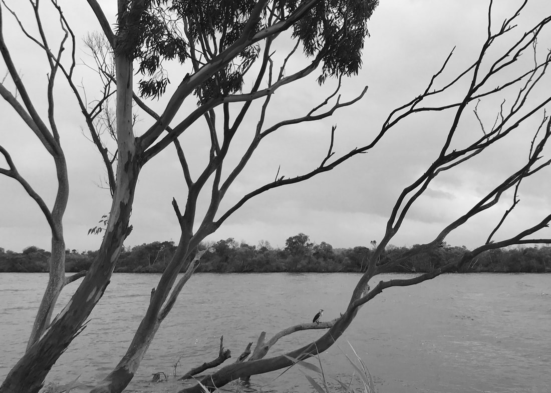
A cormorant sitting in a tree by the river.
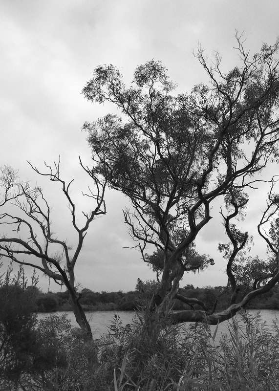 Another lovely tree. | 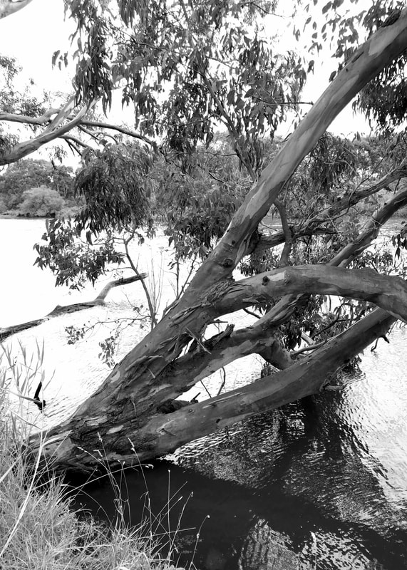 And another at the water's edge. |
And then we walked back. The sun came out, which was lovely - the water was sparkling and the views were excellent. What else to say about this walk? Oh, there was a public loo halfway down. It was a drop loo, but obviously they can’t dig down into the ground this close to the water, so they have built the toilet up a flight of stairs. Dan went and reported back on the loo with a view. I meant to take photos of this marvellous structure, but on the way back I was too busy chatting with mum and we completely missed it.
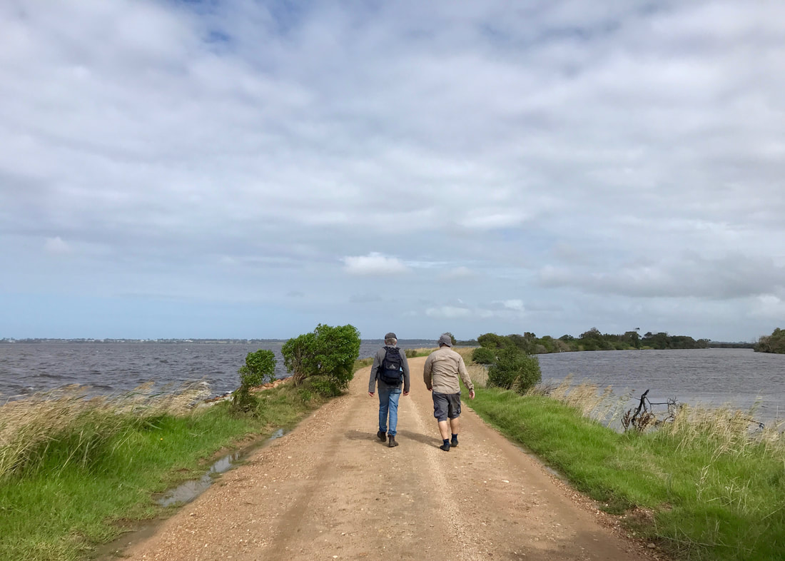
Sun's out! Dad and Dan heading back towards the mainland - you can see Paynesville in the distance.
 The lake looked really purple, which you can kind of see in this photo. | 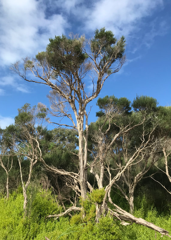 Tea tree. |
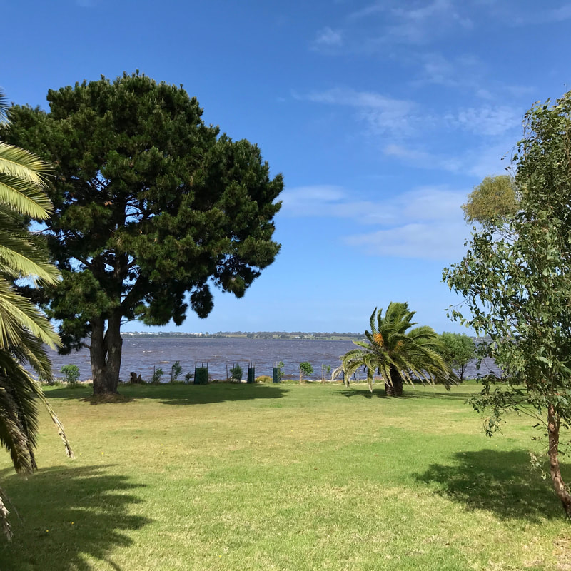
After the return walk, we hopped in the car and drove to Paynesville where we ate a huge and delicious lunch of chips, potato cakes and onion rings. A great birthday feast!
Notes
This was not a difficult walk, we went through the 12km pretty quickly. I can’t remember exactly, but I’m pretty sure we were slightly faster than our 4kph standard (excluding our tea break!). I did fall asleep in the car on the way home, but whether that was a result of the walk or the enormous quantity of chips consumed, who can say. My new (boring colour) Altras feel pretty well worn in, now.
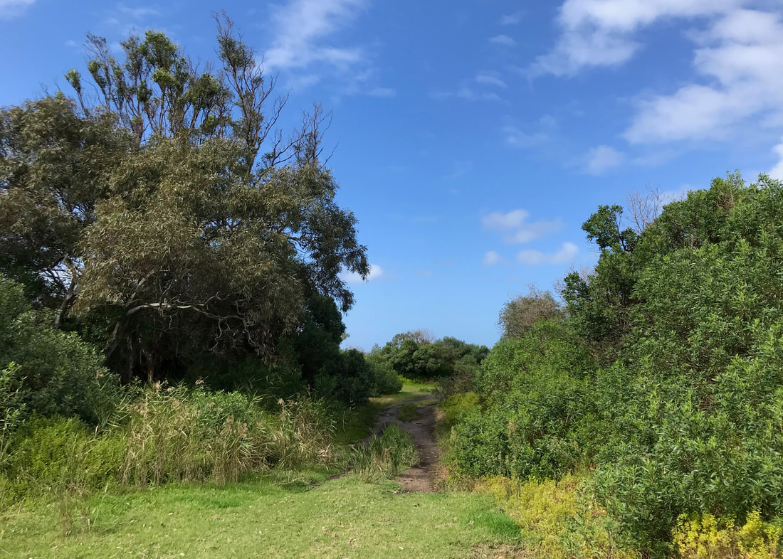
One of the wider (and wilder?) parts of the silt jetties, where we saw a couple of kangaroos.
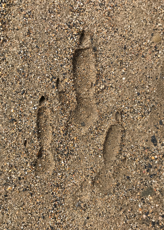 Proof of kangaroo! | 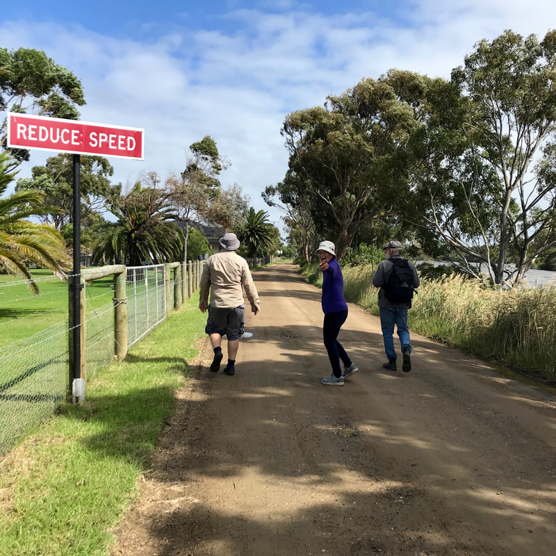 Well, we were going pretty fast! |
It was nice to be out again so soon. Even though the last few walks have been pretty short, and I clearly haven’t done anything I said I’d try to do in my last March post (consecutive days, bigger pack, longer walks, overnighters), I don’t feel too bad about it.
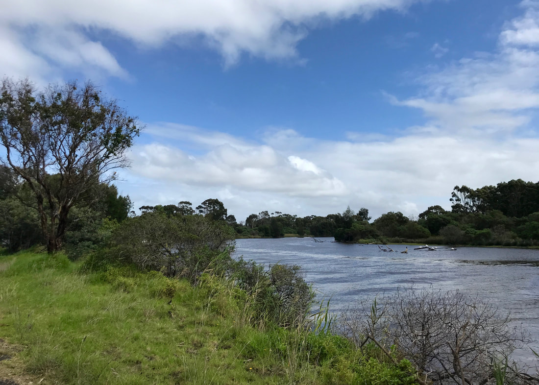
Pelicans and other birds on some branches in the river - almost back where we started.
Mum and dad found another bum bag at an op shop ($3!) and I used it on this walk, as well as carrying my backpack with the thermos and so on. It’s a nice bum bag, and has a front pocket that’s big enough for my phone, which is great - saves me having to fumble around in the main pocket whenever I want to get it out for a picture or to check progress. The main pocket is a lot smaller, though, so I don’t think I’d be able to fit both my audio recorder and my sunnies in there alongside a snack, my PLB, etc. I also don’t love the side fastening and adjustment mechanism on the strap. I’ll give it another go next time!
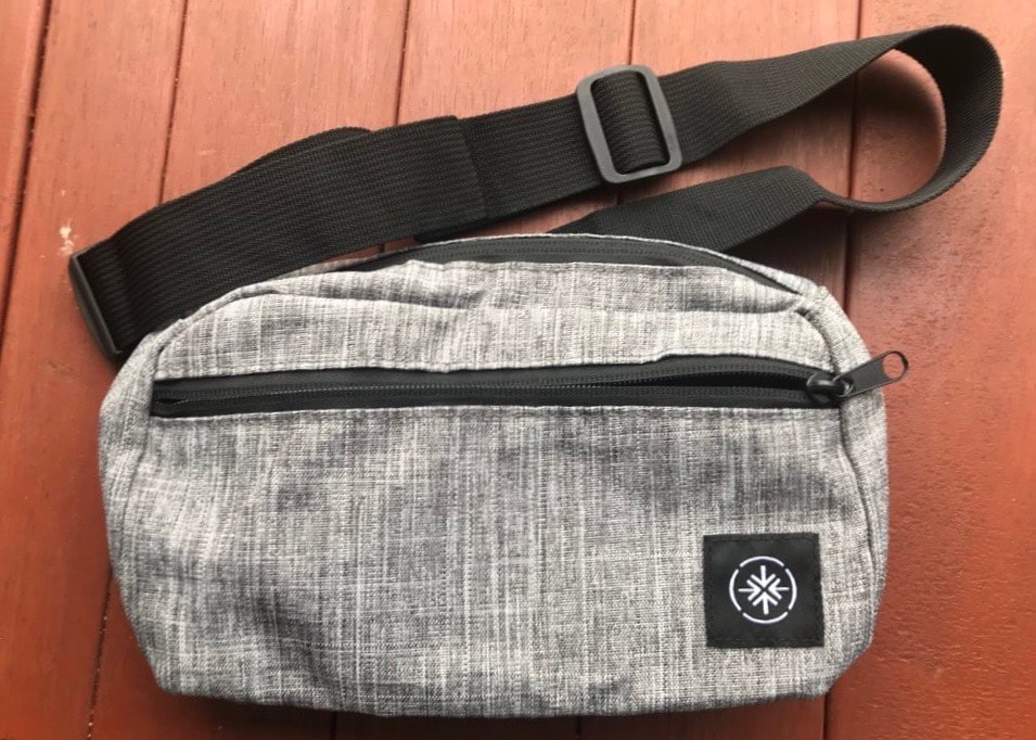
The new bum bag. Great front pocket, but maybe too small? And slightly annoying adjustment when wearing it under a backpack.
The silt jetties have formed at the end of the Wy Yung (Mitchell River) in the Gippsland Lakes system. This is Gunaikurnai Country, specifically of the Brabalung people. It always was, and always will be, Aboriginal land.
 RSS Feed
