IN WHICH I
  • ... Write
  • ... Explain

New routes, lost paths and waymarks

29/10/2021

4 Comments

 
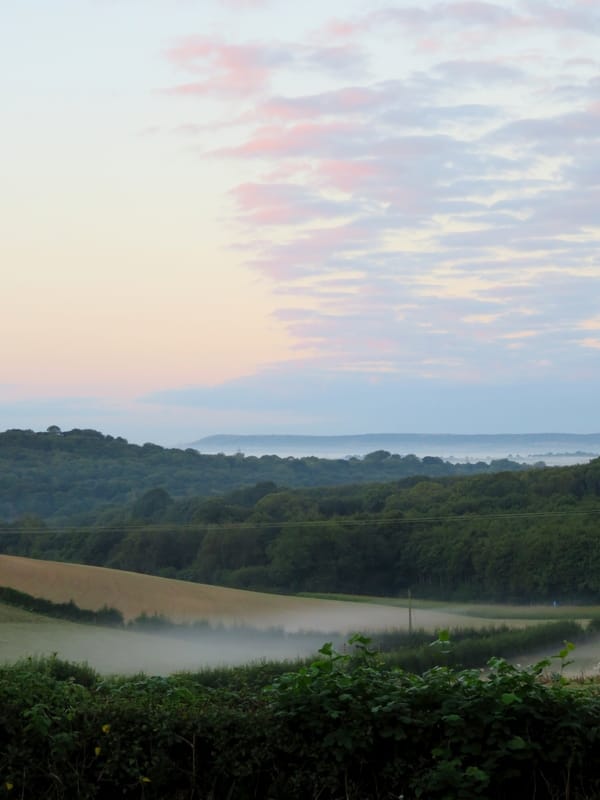
Here are three projects I’ve been involved with as a volunteer over the last couple of years, focused on preserving and expanding the use of the UK’s amazing rights of way network.
Smiling person affixing a small sign to a fingerpost with green fields and a glimpse of a viaduct behind
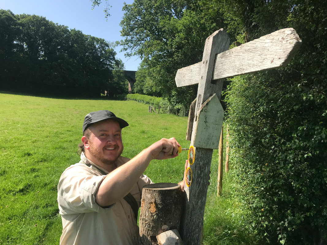
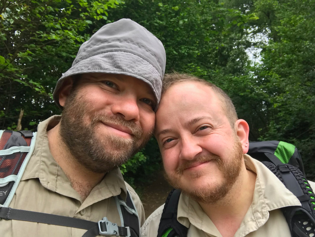
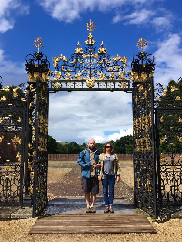
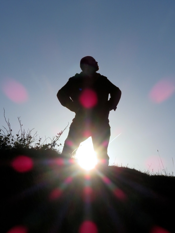
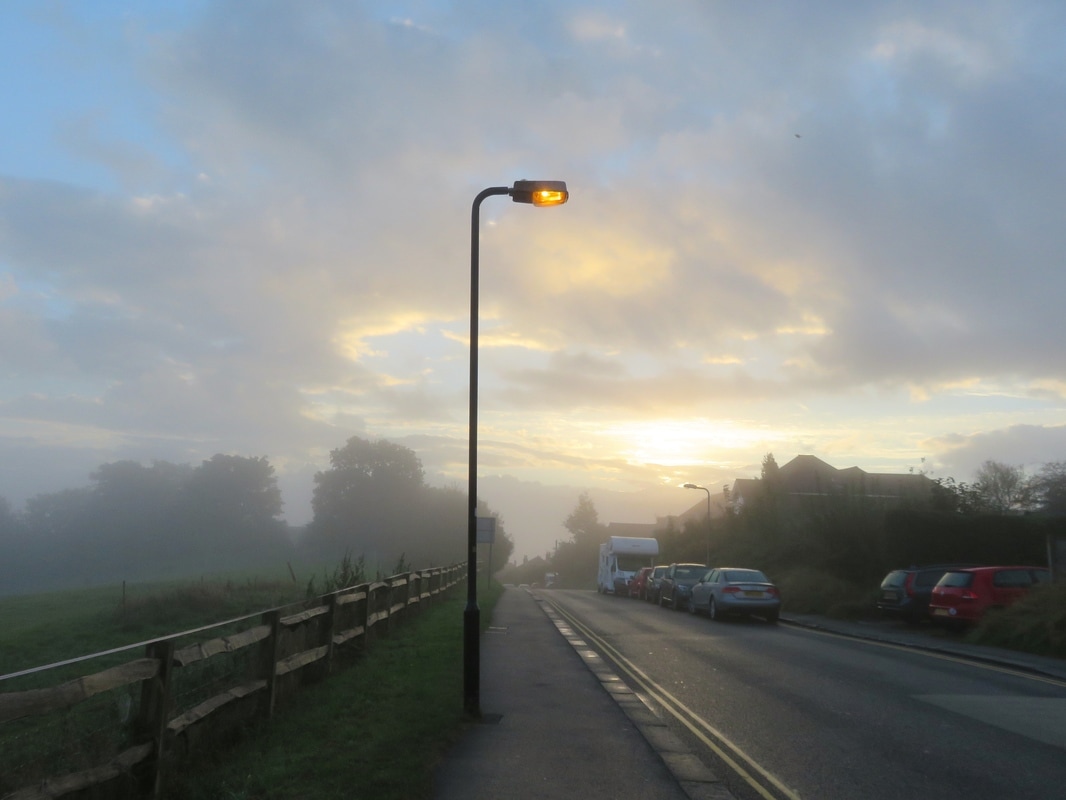
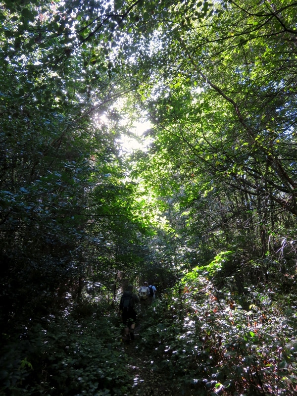
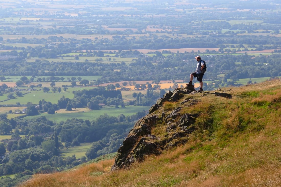
Feeling pretty happy to be affixing the last waymarker along my stretch of the Sussex Diamond Way (see end of post for more)!
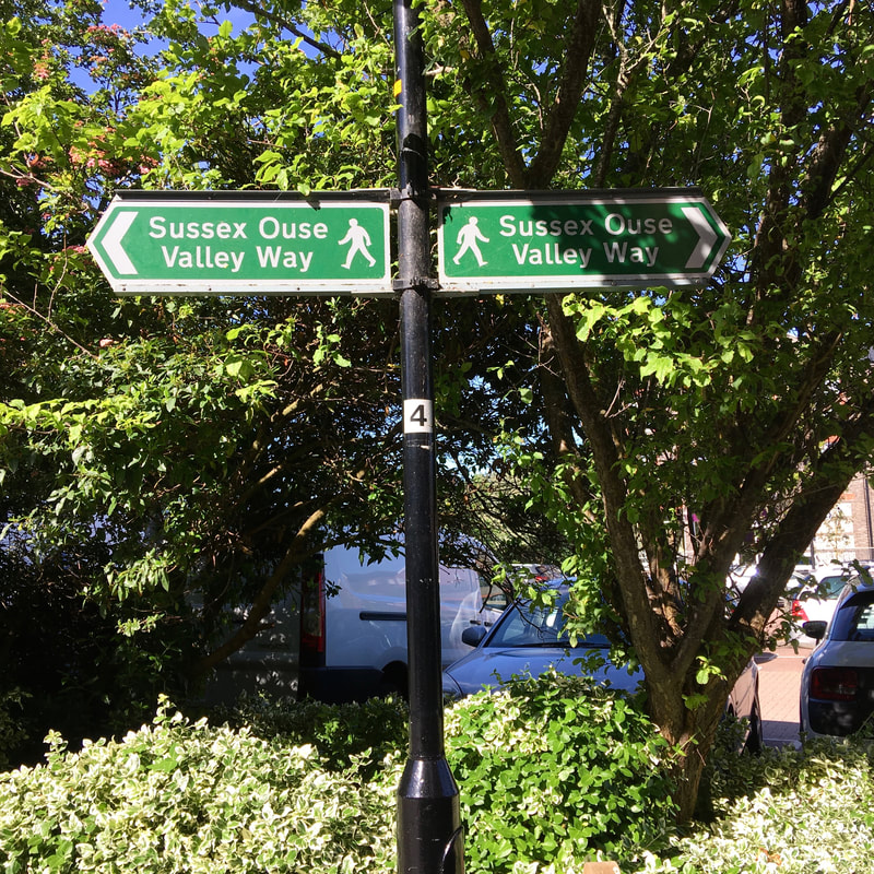
Slow Ways

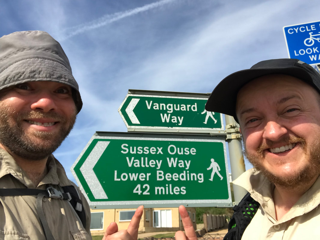
In February 2020, I headed up to London and joined dozens of volunteers helping Dan Raven-Ellison kick off the Slow Ways project. The idea behind this project at the start was to use the current OS rights of way map as well as Google street view/satellite imagery, local knowledge and Open Street Map to find walkable, direct routes between as many UK cities, towns and villages as possible. Eventually, we’d end up with a spiderweb-y network of routes linking these towns or hubs, with most of those hubs offering some combination of public transport links, accommodation, grocery shops and/or eateries.
Map
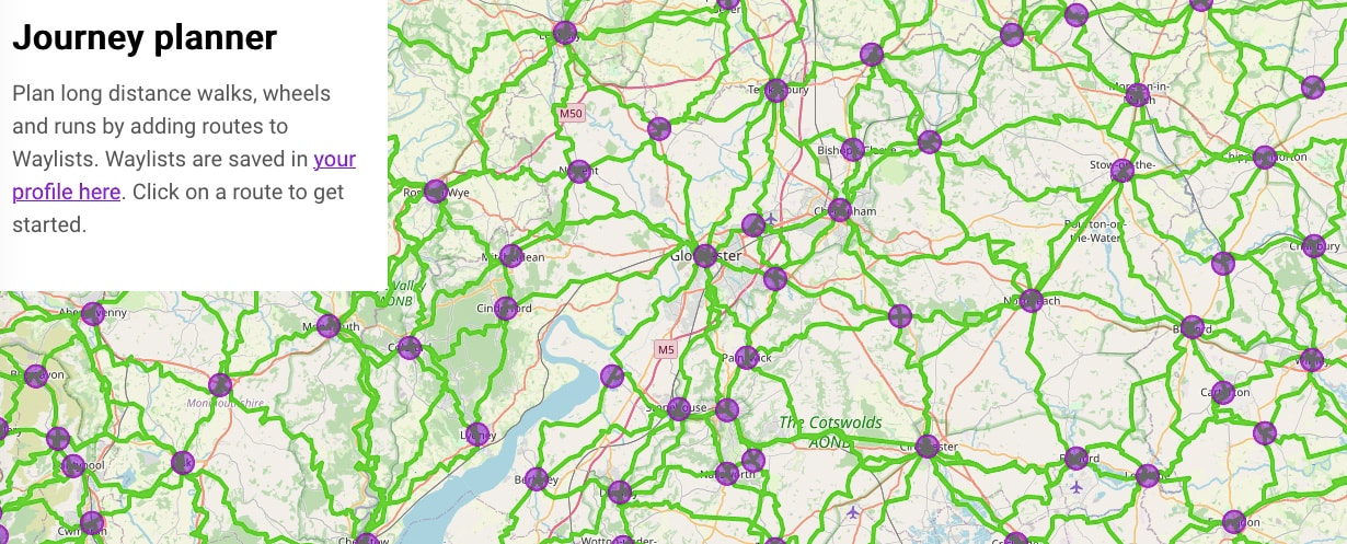
This shows the actual routes (in green) between the hubs (in purple). Sometimes two routes use the same part of the path network.
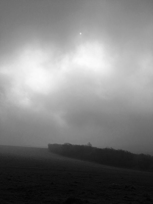
The mapping started on that day, just pre-lockdown, and many volunteers continued over the following months, creating potential routes and offering opinions on different hubs and paths. Should this route go over the hill (shorter) or around it (more accessible)? Should we make this place a hub town to break up a load of longer sections, even though there’s no rail link? (I argued for Alfriston being a hub during that first workshop and was told no… but I see that in the end the route wranglers agreed with me!) Should this route take the scenic footpath (longer, quieter) or the roadside pavement (more direct)? What about if the direct route is walking on the shoulder of a busy road? What’s safer in the city during the day or night - a main road, a back street or a park? Is there really a path here, or does it just look like that on the satellite imagery? It was quite interesting to be part of this process, even though we were having to work online and remotely due to Covid, rather than in the smaller regional meetups originally envisaged.
Map
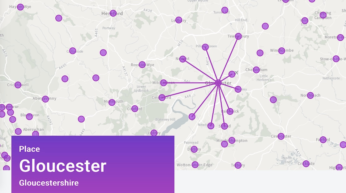
The streamlined version of the map shows the routes as straight lines between hubs. This shows all the routes from/to Gloucester.
Eventually, these routes would be walked, reviewed and improved on. People could use them to plan walking trips by plugging in two locations (e.g. Bristol and Birmingham) and finding a verified route between those places. These routes which would be broken into full- or half-day sections, each section usually ending, as noted, with transport links and/or accommodation.
Map
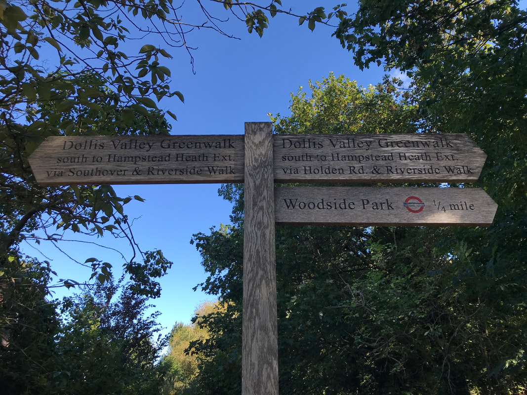
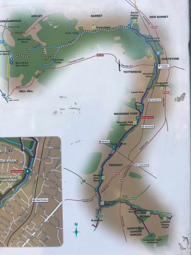
A sign with a map of the Dollis Valley Greenwalk.
Stream glinting in sunlight between trees
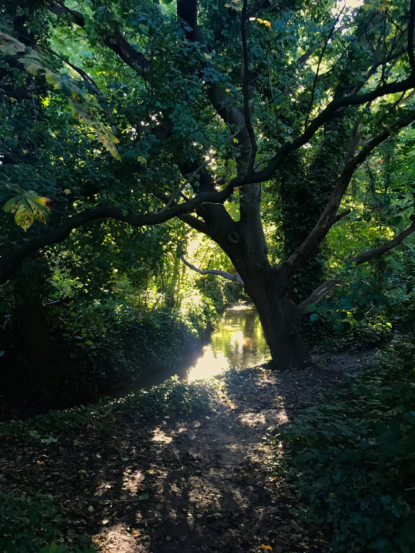
So much nature in the city (well, the suburbs)!
Slow Ways is now in the route checking stage. Each section will eventually be surveyed by a volunteer trained by the Slow Ways team and reviewed by at least three volunteer walkers. The idea here is to give users an idea of what to expect, any problem areas, accessibility (e.g. for people on wheels) and points of interest along the way. This stage can also flag up unwalkable routes (e.g. footpaths that have been diverted, landscape changes) and people can propose alternatives (e.g. easier, more direct, more pleasant). Once three people have reviewed a route, the route is verified and listed with a tick on a blue snail. And so, when you are the third person to review a route, you have bagged a snail. To add a bit of competitive fun, Slow Ways has got us using the hashtag #SnailBagging.
wide dirt path with muddy puddles bordered by trees and
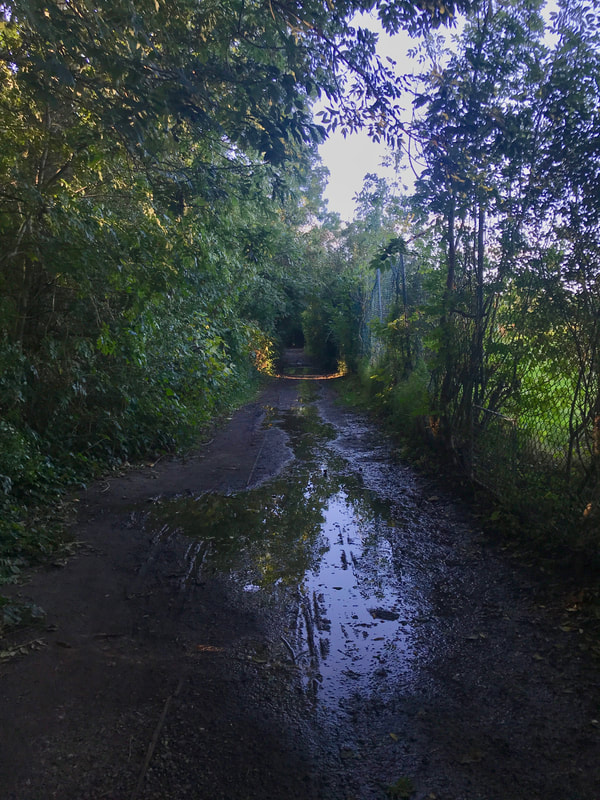
Some sections of path were a bit muddy.
Paved path between walls with trees in autumn colours overhanging
A new-to-me path in Finchley.
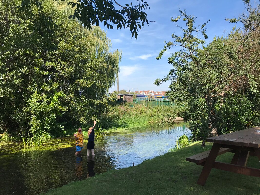
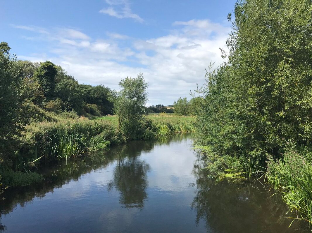
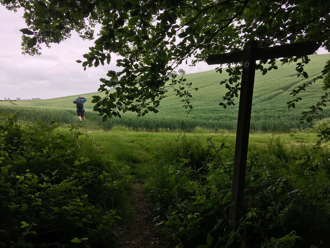
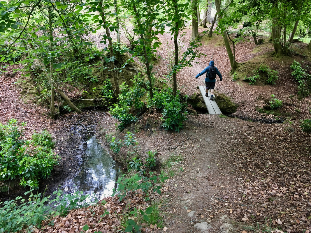
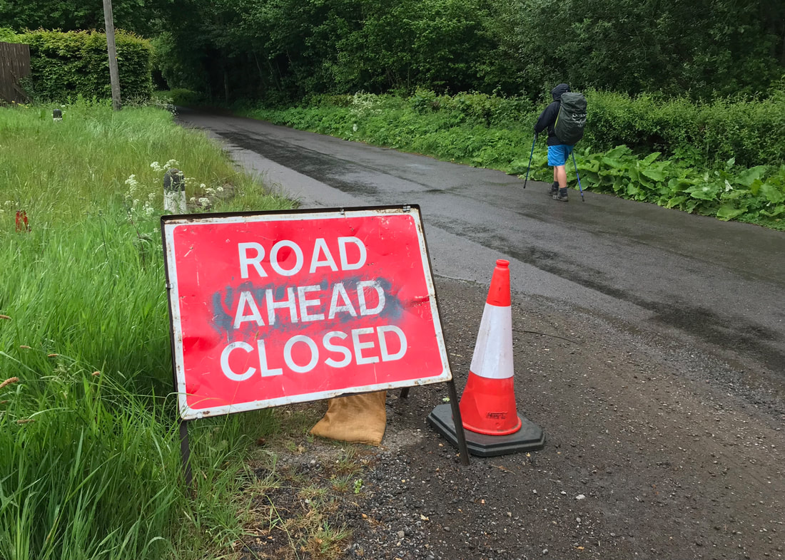
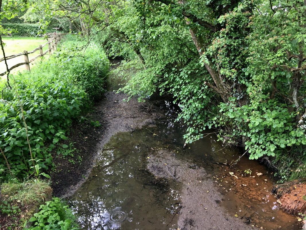
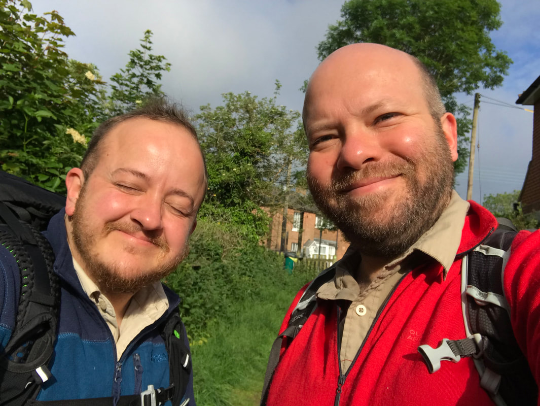
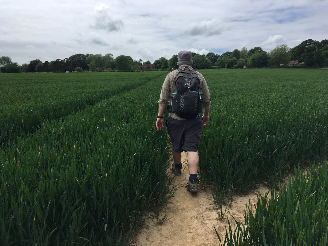
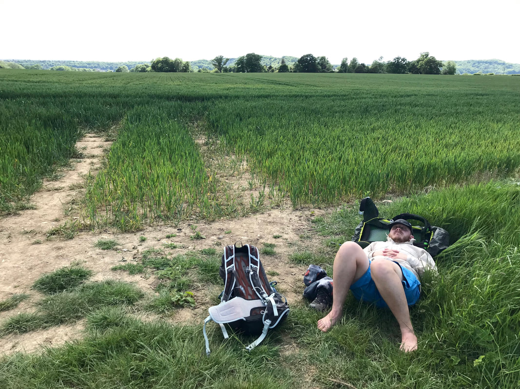
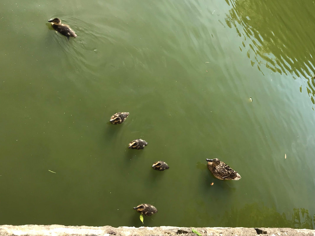
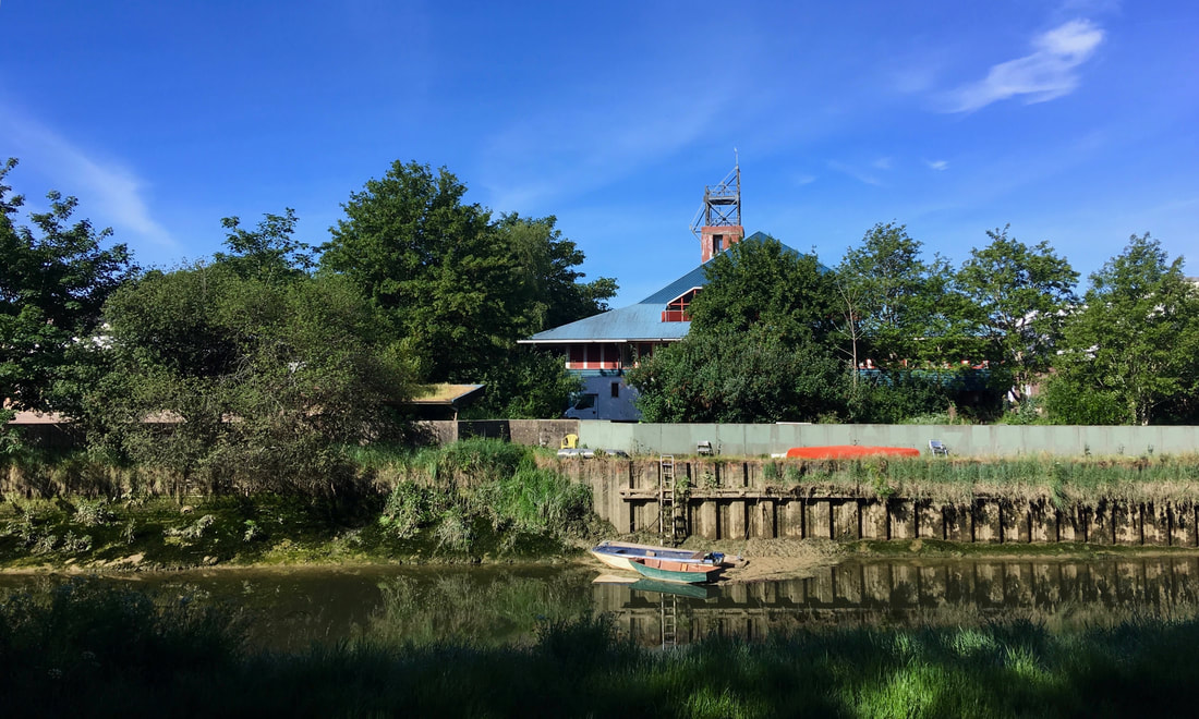
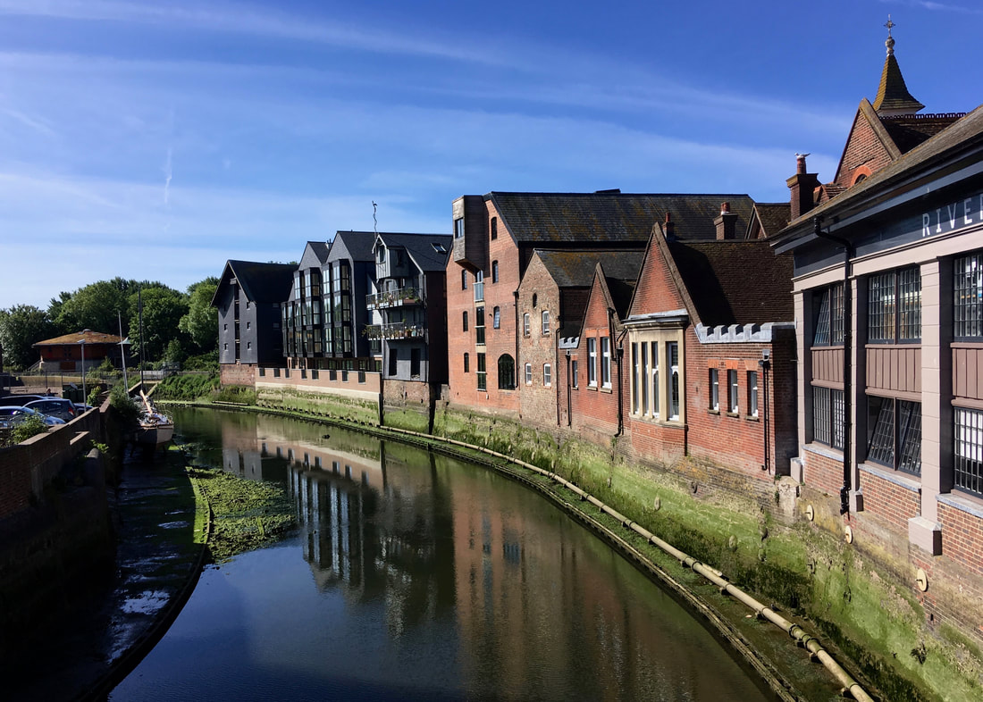
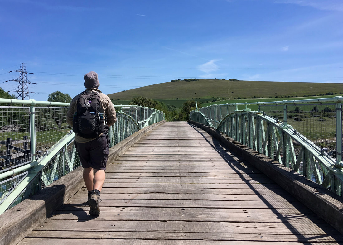
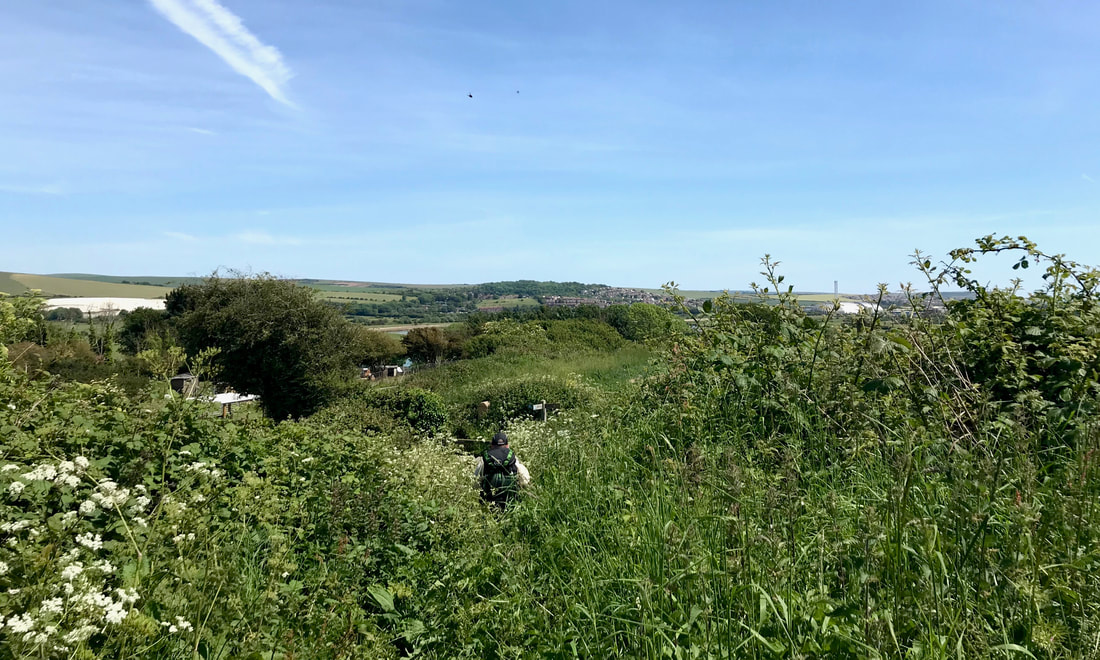
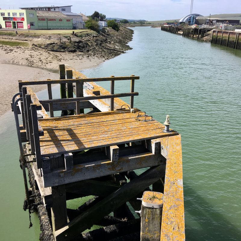
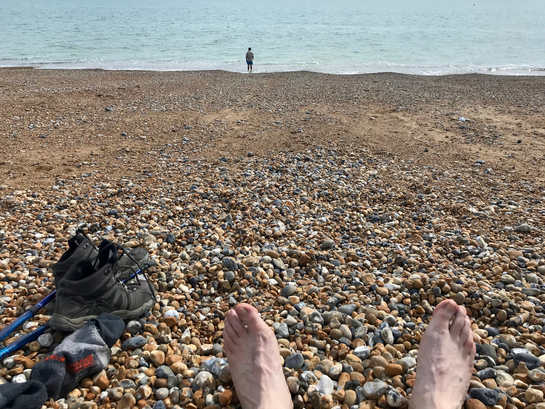
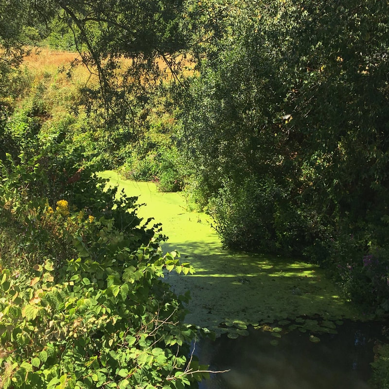
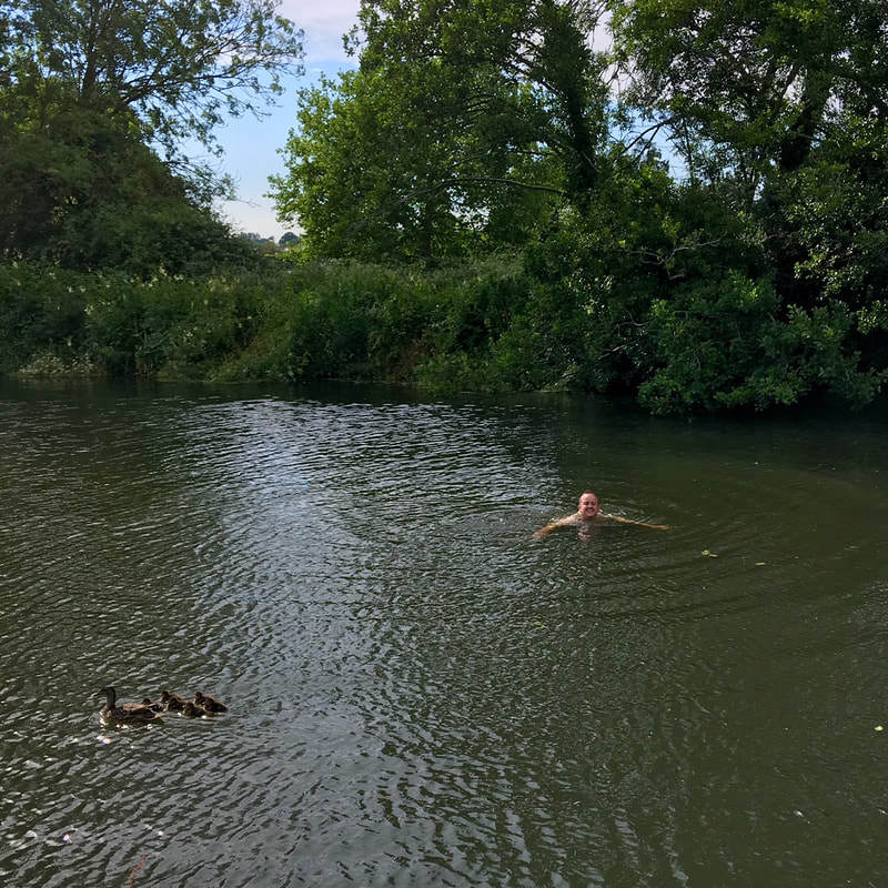
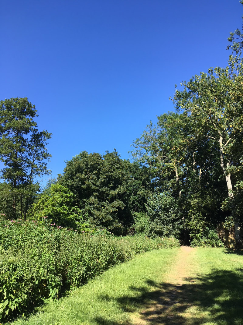
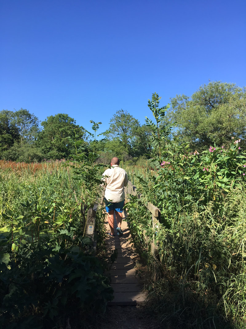
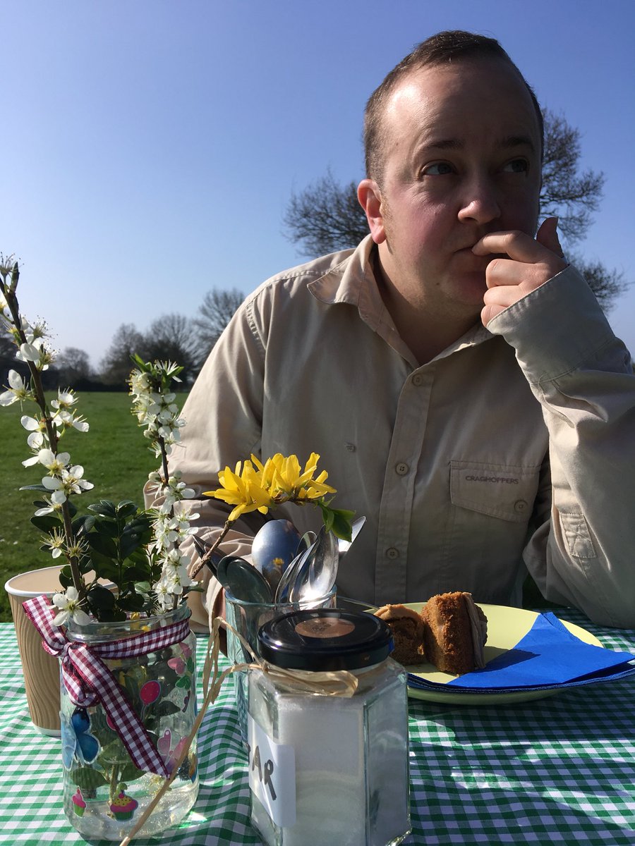
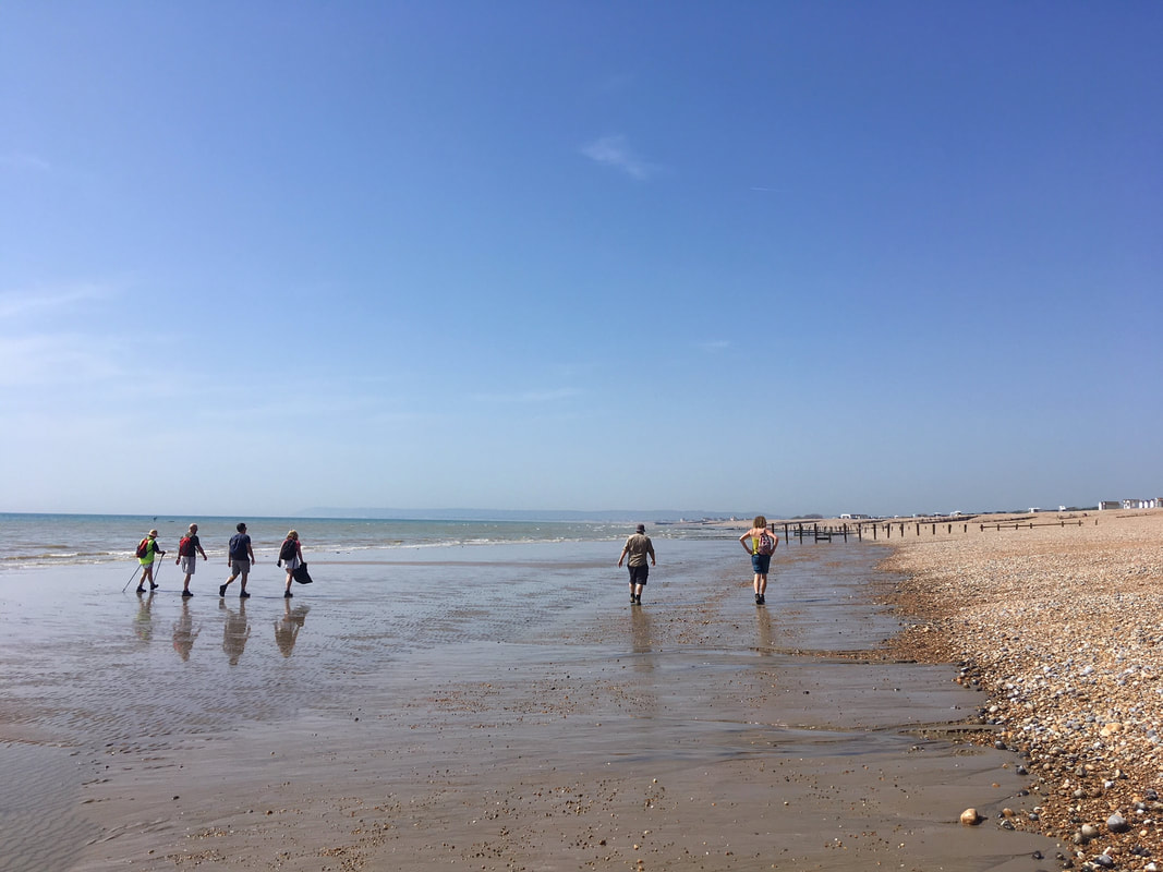
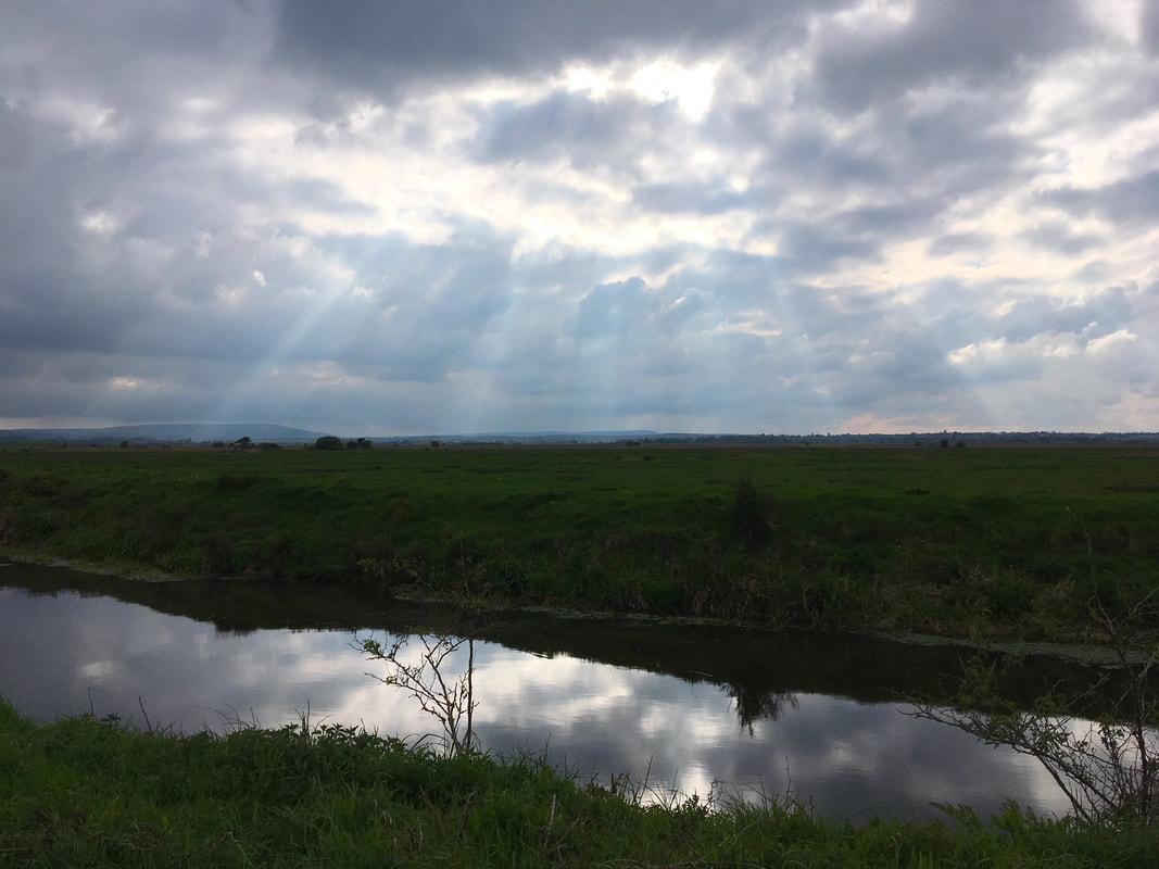
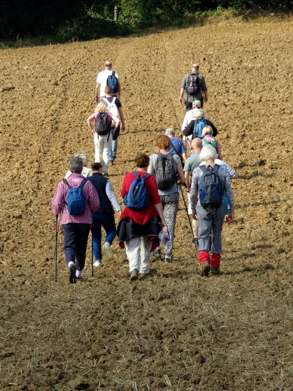
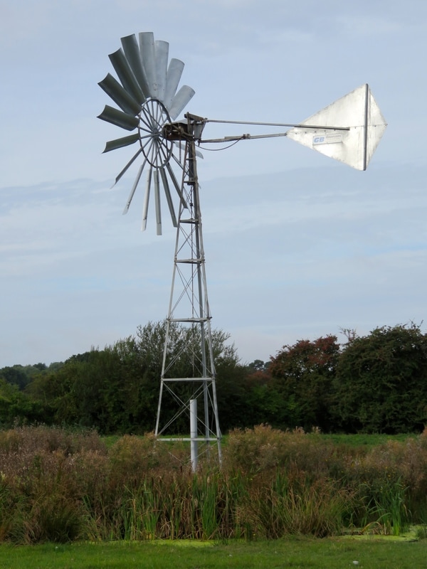
A few weeks ago, I went out for my first review walk (and dragged Dan along with me). In the process, I managed to be the 3rd person to walk and review the route, bagging my first snail! The photos in this section have been from that walk. It was a lovely morning out, and as the route was only 5km long, we walked it both ways! It was interesting to walk the route with different things in mind, enjoying the facilities along the way (there was some good play equipment - always an important part of a walk for me, haha!) looking for accessibility issues (e.g. places where there are no lowered kerbs for road crossings, gates that cyclists or prams/buggies might not fit through, muddy or flooded areas) and thinking about whether the route could be more direct or easier. All in all, a good walk - and I felt like I was doing something for the greater good, too!
A fingerpost showing multiple options for walking
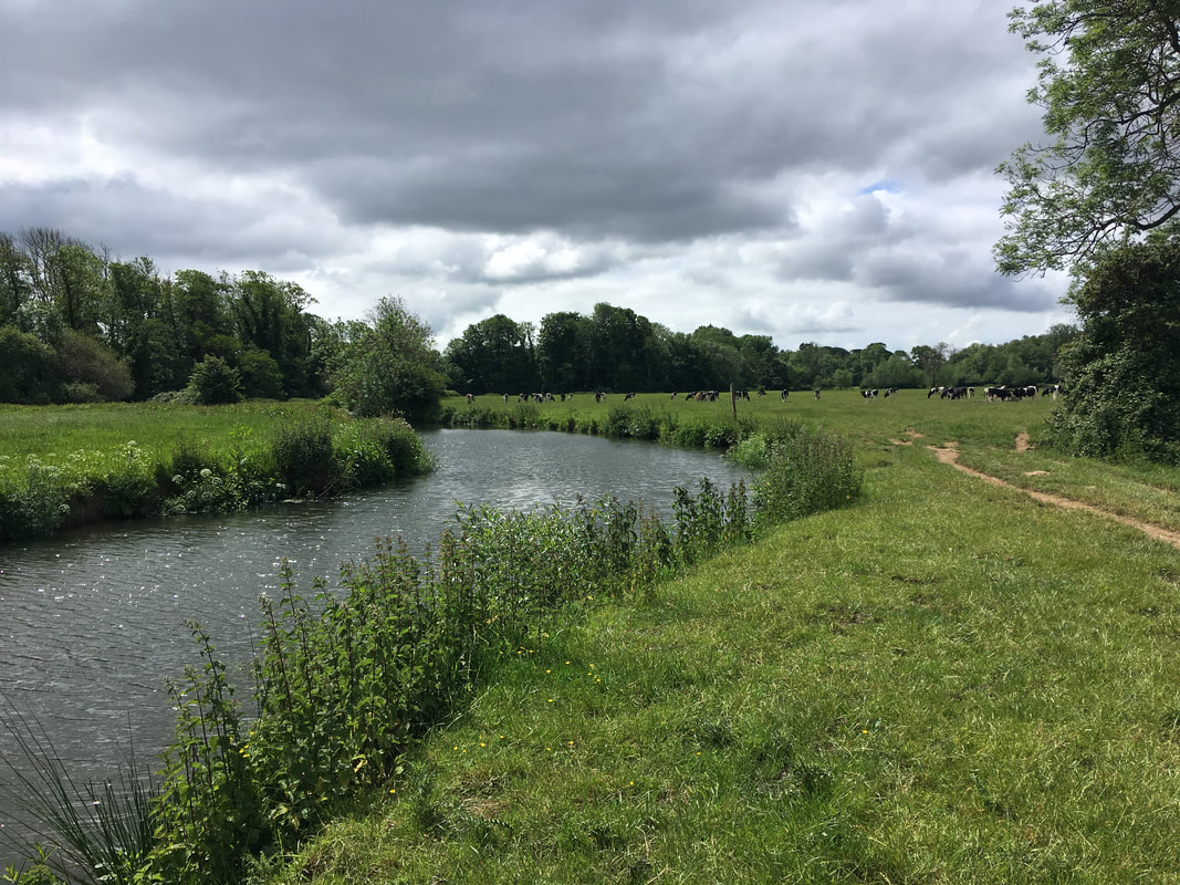
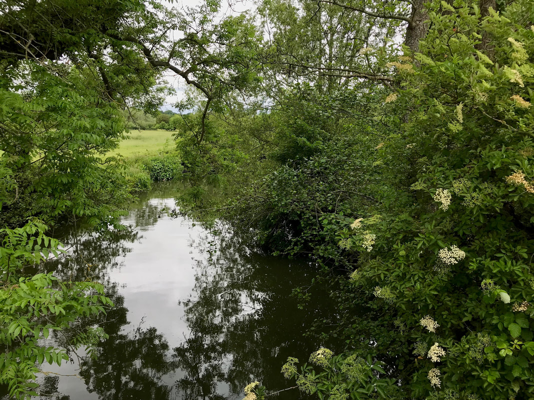
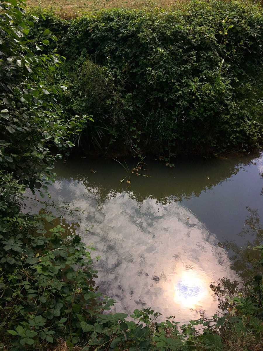
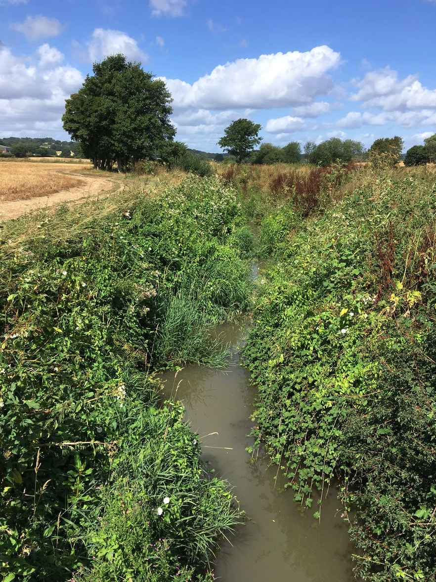
Which side of the stream would you like to walk on?

Don't Lose Your Way

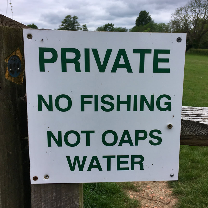
While the public rights of way network in the UK is fantastic, it was hard won and is being continuously fought for. Lots of paths that are in use are not actually on the “definitive map” (drawn up by local authorities post-WW2), which means that our right to walk on them in the future might be revoked. That hasn’t necessarily been a huge issue in the past, because people (usually local Ramblers groups) have been able to add those paths to the definitive map as rights of way if they’re shown on old maps or it can be proved that they’ve been in use. However, after January 2026, paths will no longer be able to be added to this map based on historic evidence, meaning that many public rights of way may be lost forever.

This deadline has been looming for some time, and Ramblers groups have been busy trying to find and claim as many paths as they can. But usually these groups comprise a few volunteers for quite a large area, and many paths are likely to slip through the net. So the Ramblers launched the Don’t Lose Your Way project.
Map
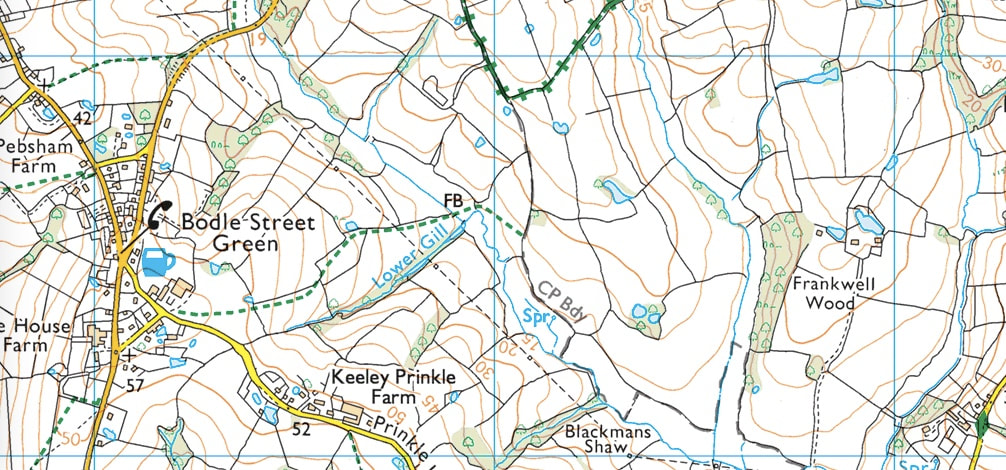
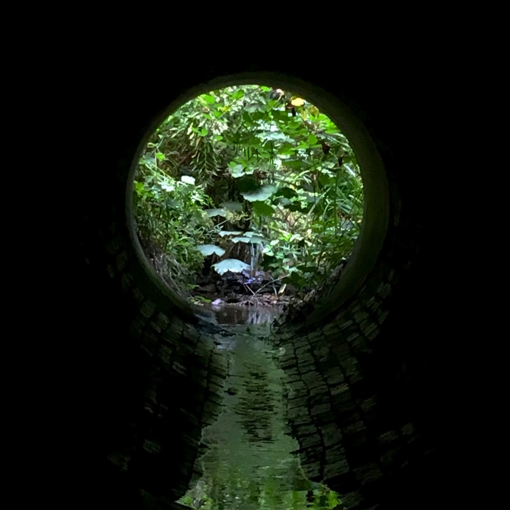
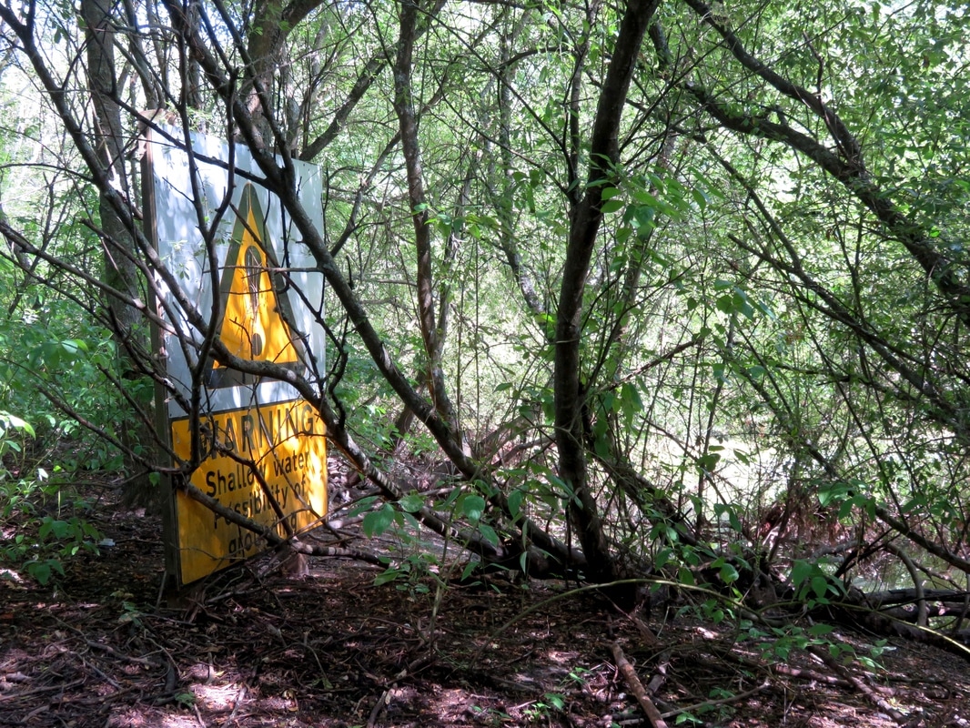
Near Bodle Street Green, a footpath is truncated at a civil parish boundary. Because the path leads "nowhere", few people use it (though we have, for the record!).
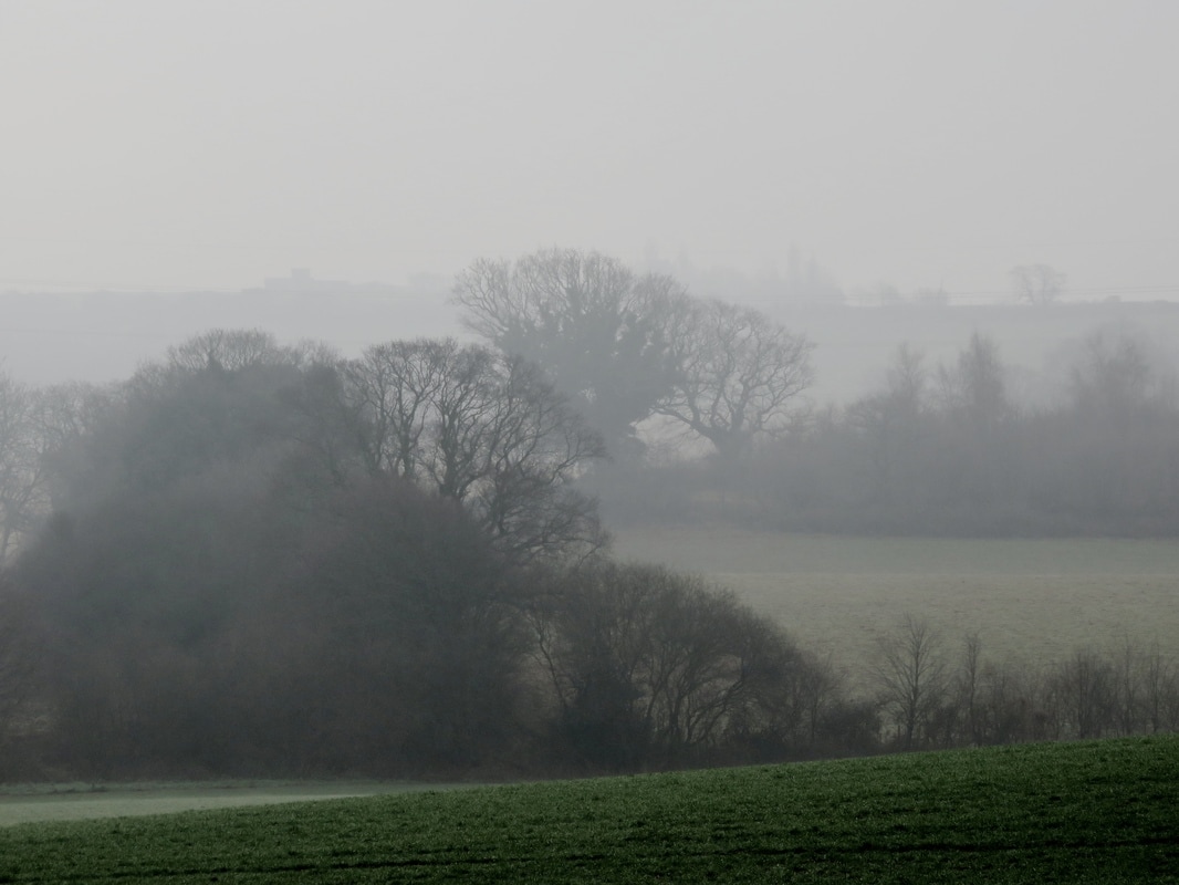
In the first stage of this project, thousands of volunteers logged on to a website that allowed easy comparison between the current definitive (OS) map and older maps. I was one of those volunteers, and I found it really interesting looking at 1km x 1km grid squares on the map, checking where paths (probably!) used to be and where they are (or aren’t!) now. One key place to check was along parish boundaries, where a path might be cut off arbitrarily because one place listed it on their map in the 1950s, but the neighbouring council did not. Where we found what looked like missing paths, we’d trace them onto the map and submit them to the database. This process turned up almost fifty thousand miles of potential lost ways!

Now, having mapped so many paths, the next step of the project is to start sorting them out. This is also being done online by volunteers. Which paths are higher or lower priority? Which “lost” paths fix obvious dead ends or create good links in the current path network? Which routes assist with access to sites of interest and open access land? Which are “non-starters” because they have been completely built over? Which ones have been accidentally traced on a current right of way or another map feature like a county boundary? This sorting will help the Don’t Lose Your Way team decide which paths to focus on when it comes to doing further research and putting in claims for the paths.
Old map
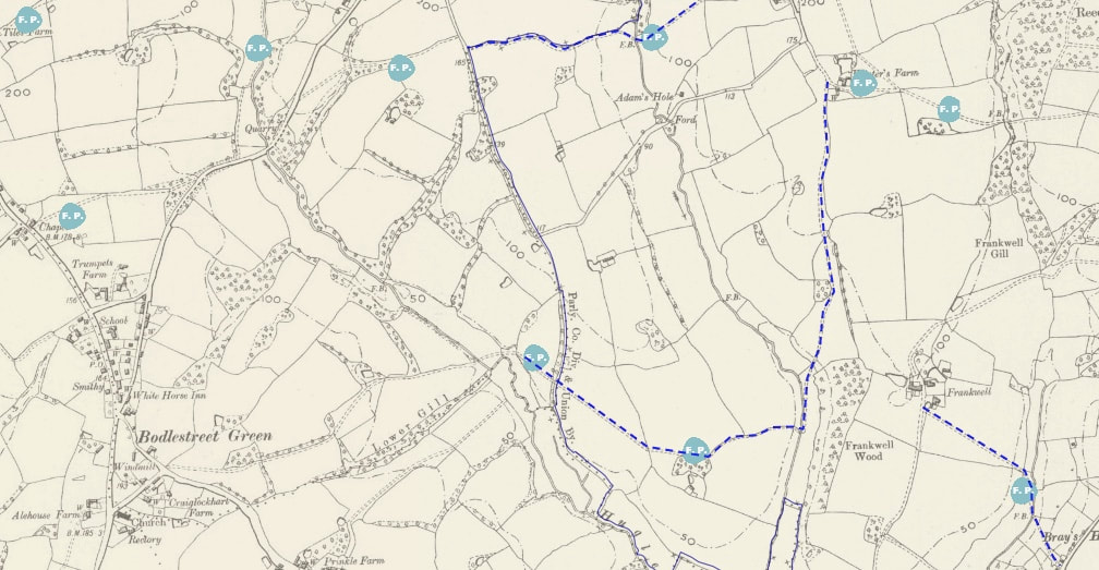
The same area as above, showing the "lost" section of the footpath, which is marked "FP" on the older OS map.
I’ve been spending a bit of time going through the online map and categorising routes. Some of the categorisations have been pretty easy and clear (routes that I know from personal use, ways that give access to otherwise isolated bits of open access land, paths that are now under reservoirs, or paths that have clearly just been diverted around a field are good examples) while others are more difficult (it’s hard to decide if a particular path should be a “high” or “medium” priority if I don’t know an area well or at all). But generally I’ve found it quite a soothing way to spend a quiet hour of down time - while also making a small contribution to a wonderful cultural asset that has given me so much joy over the years.
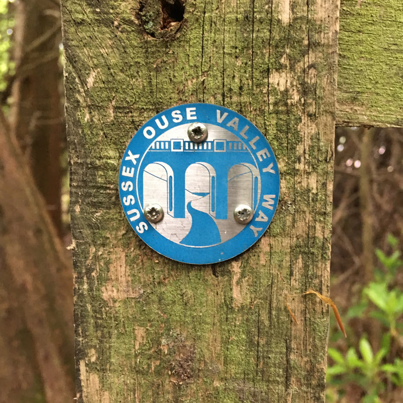
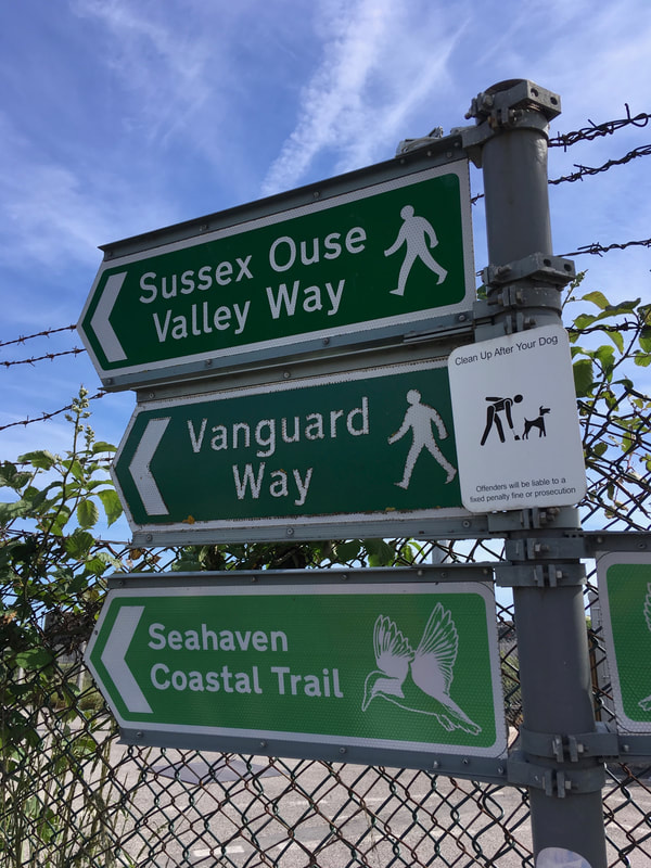
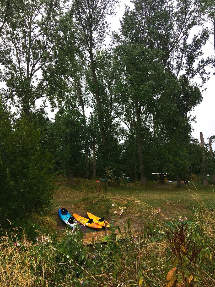
Sussex Diamond Way

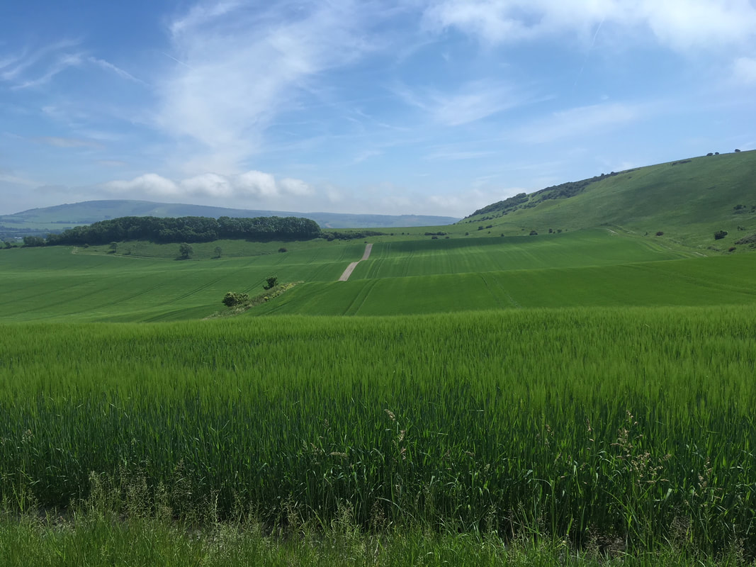
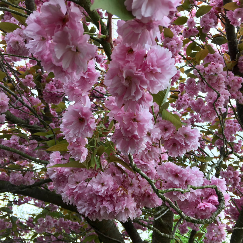
The Sussex Diamond Way is a 60 mile, waymarked path in East Sussex, running from Heathfield in the east to Midhurst in the west. The route was created by the Sussex Ramblers in 1995 to mark their 60th anniversary (hence 60 miles) and it takes in some of the varied, picturesque local landscapes - kind of like the low weald equivalent to the High Weald Landscape Trail.
Fingerpost with green trees and a small road leading off to the right
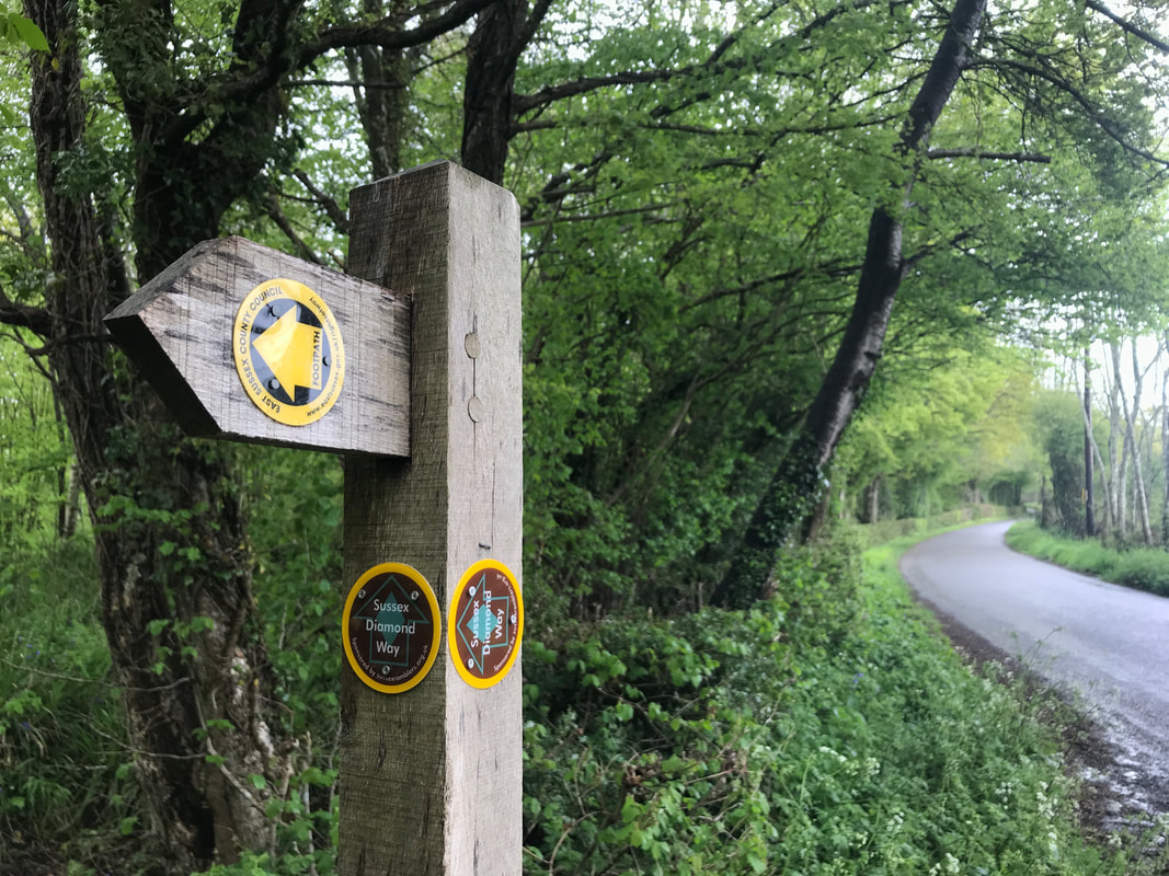
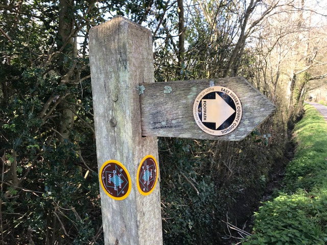
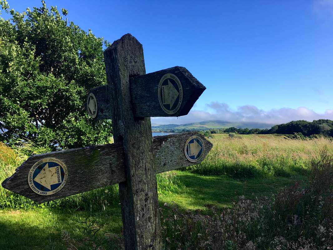
A fingerpost with newly added Sussex Diamond Way markers, indicating the junction with this quiet road.
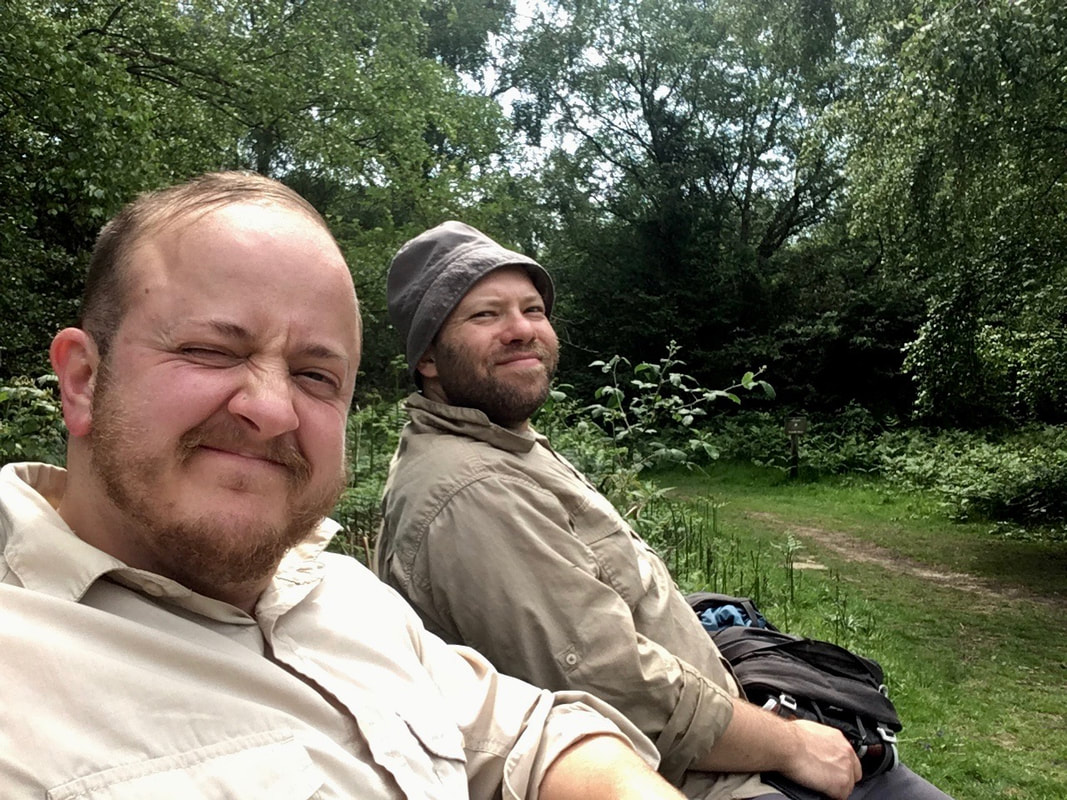
Twenty five years after the route’s creation, it was time to refresh the path with a full survey and new markers to guide walkers on their way. The Sussex Ramblers put out a call in 2020 for volunteers to help waymark sections of the route. I’ve wanted to do some of this kind of volunteering for a while (I’ve also previously been a local footpath secretary for a nearby parish, and done quite a few other bits of Ramblers volunteering), so of course I said yes.
Person standing in a field with trees and cloudy skies behind
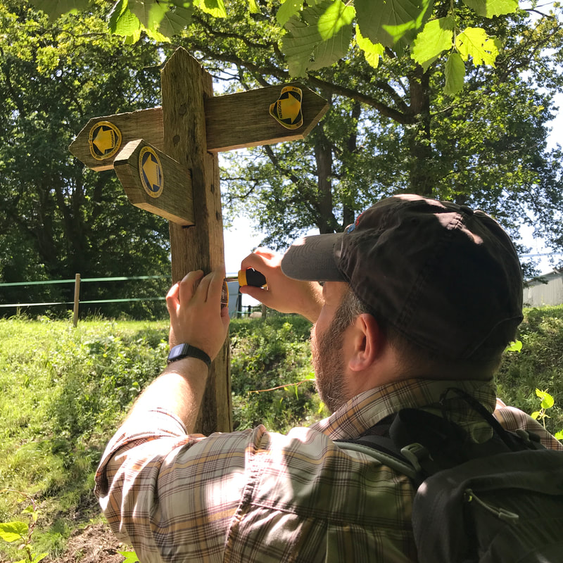
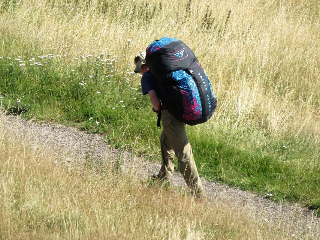
Out with my bag of goodies - marker discs and stickers, screws and screwdriver - in search of posts to adorn!
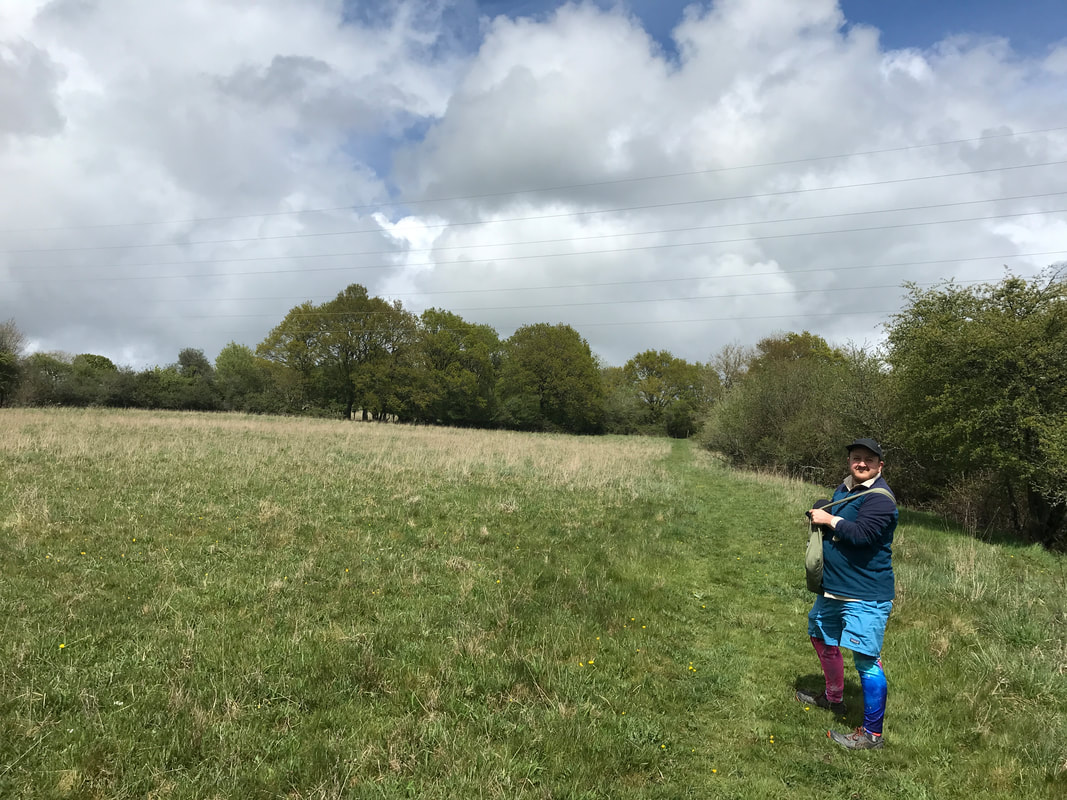
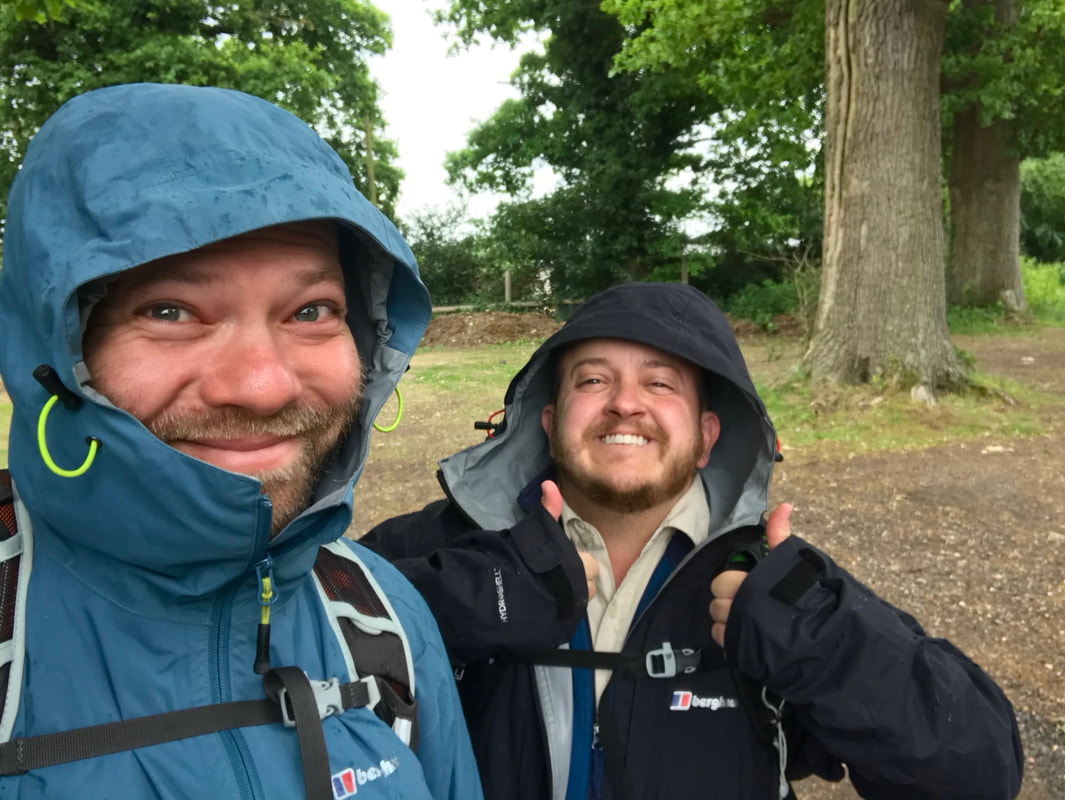
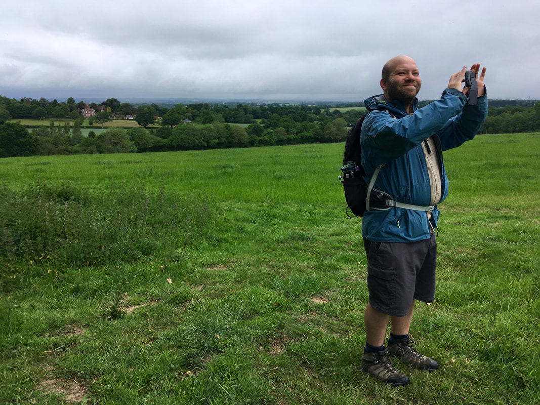
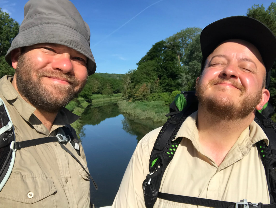
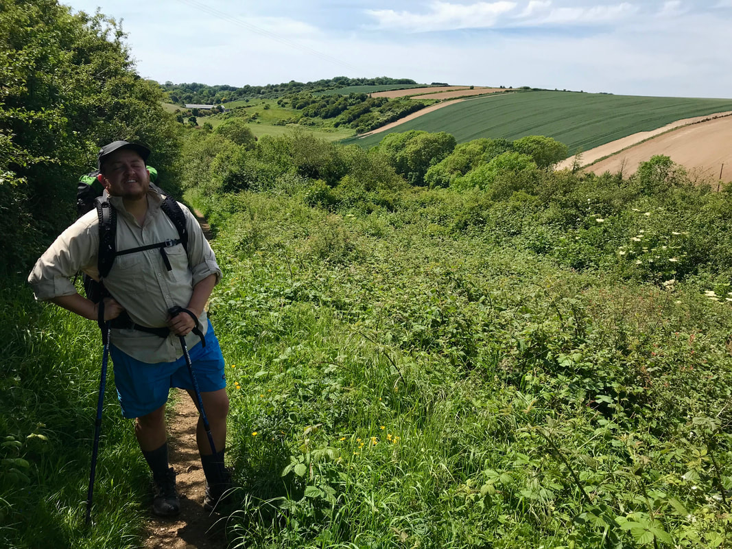
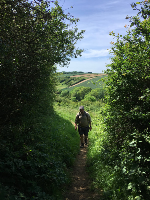
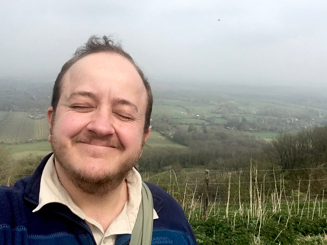
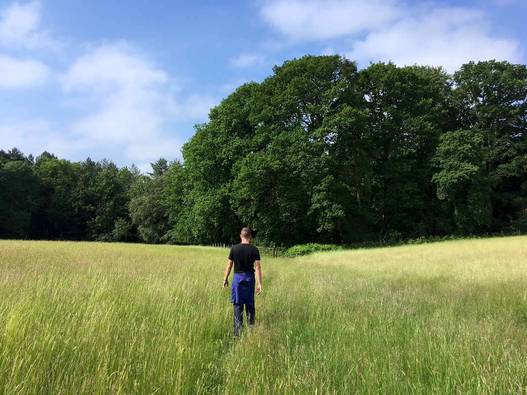
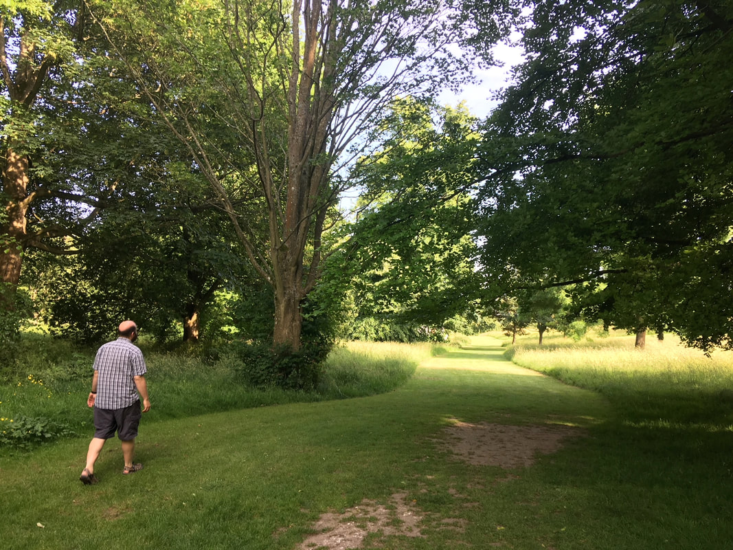
I was slow to start and complete the actual waymarking what with the winter lockdown, cruddy weather and intense busy-ness at work and with life in general. However, starting in spring I managed to go out with Dan on a few different weekends and evenings to walk our section. We also went to do some waymarking in Ashdown Forest, before realising it wasn’t our patch and it had already been well marked out.
Picture
Look, another fingerpost...
Picture
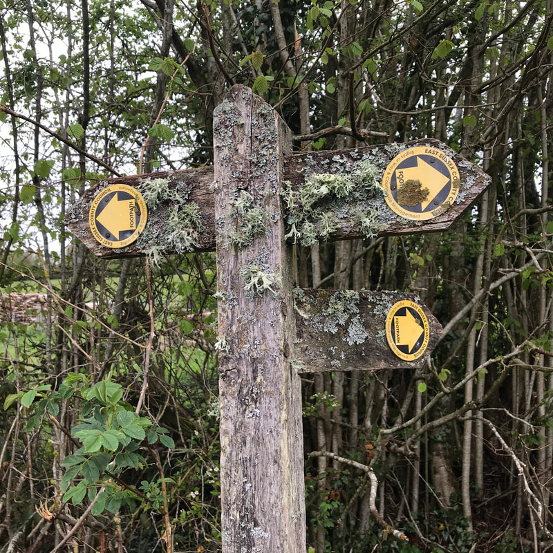
I'm lichen this one!
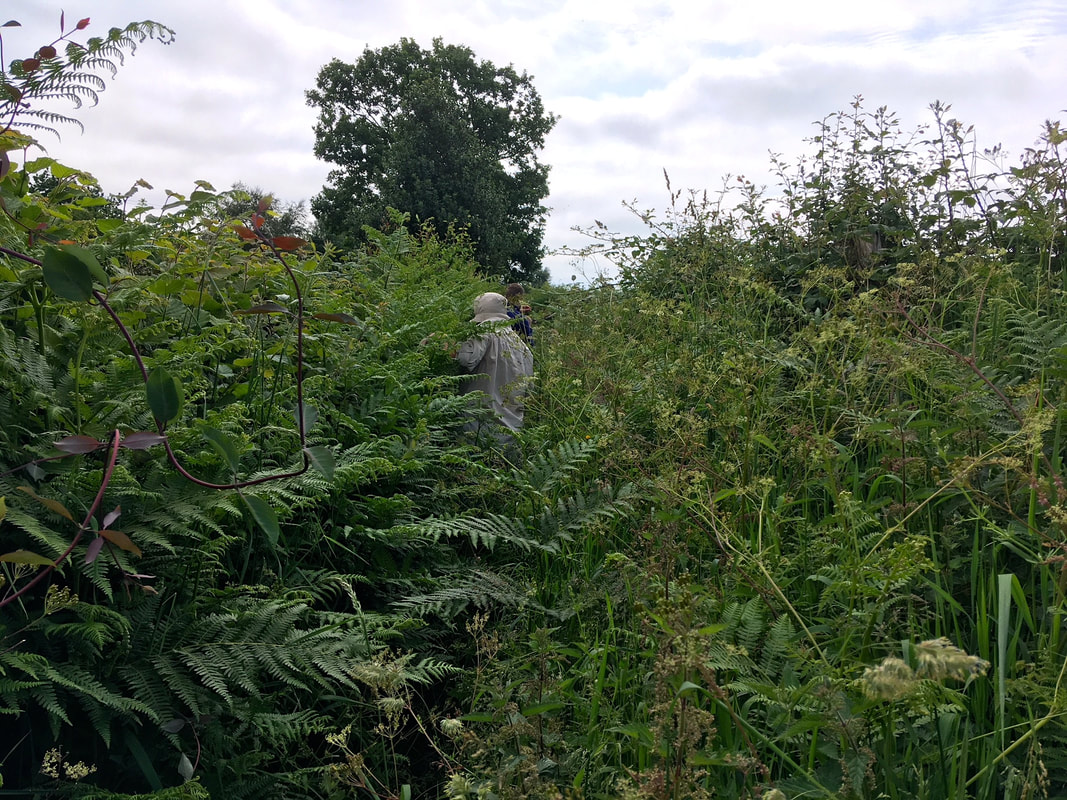
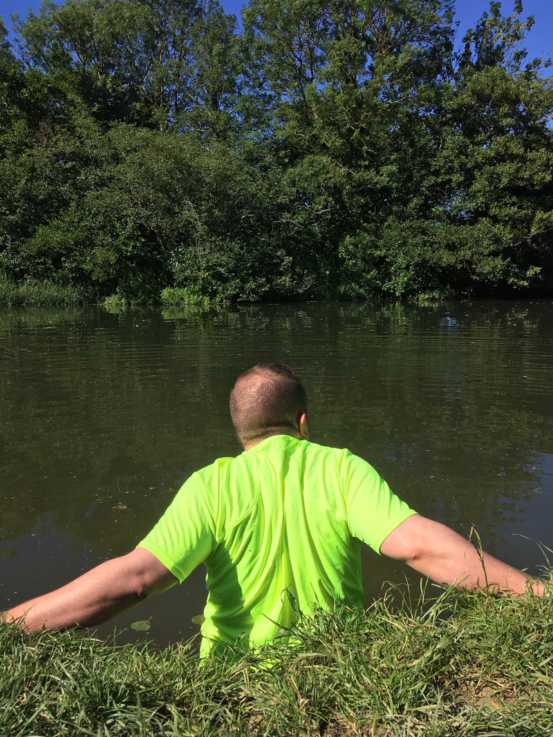
We walked quite slowly, making sure every written direction was correct - going both ways - and affixing the markers to fingerposts and marker posts (and only those posts - not to gates, stiles and other path furniture, which belong to the landowners rather than the council). It was also surprisingly tiring, especially when affixing markers higher than my shoulders over and over again. (Thanks for your help, Dan!)
Person in a cap screwing a waymarker into a fingerpost
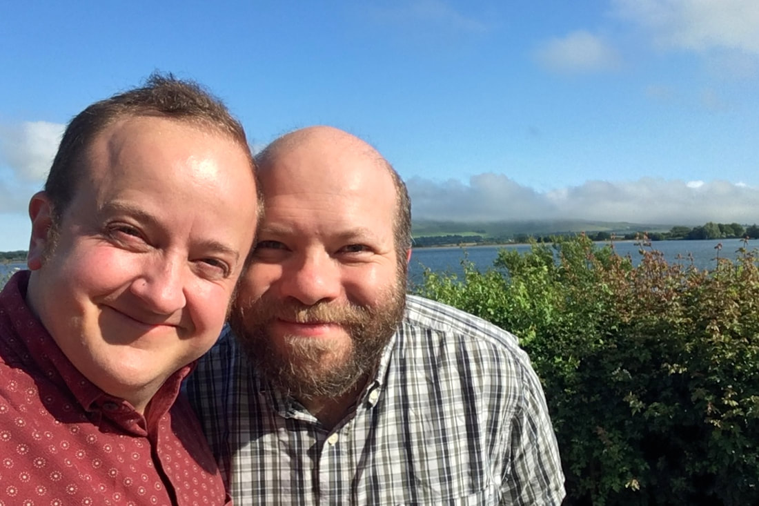
Thanks Dan! The last outing was quite hot, too.
An old building on a hill
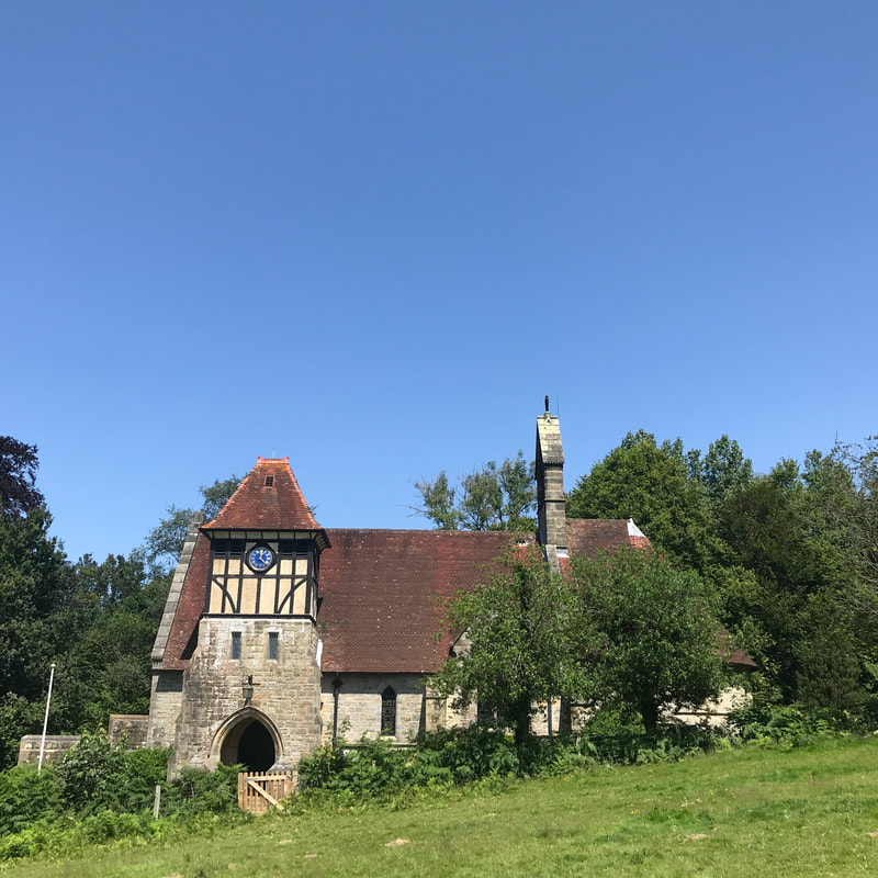
One of the interesting buildings along the way.
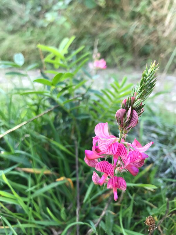
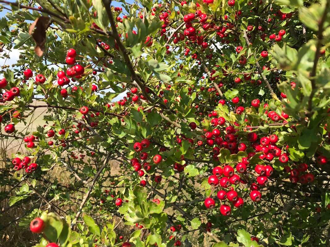
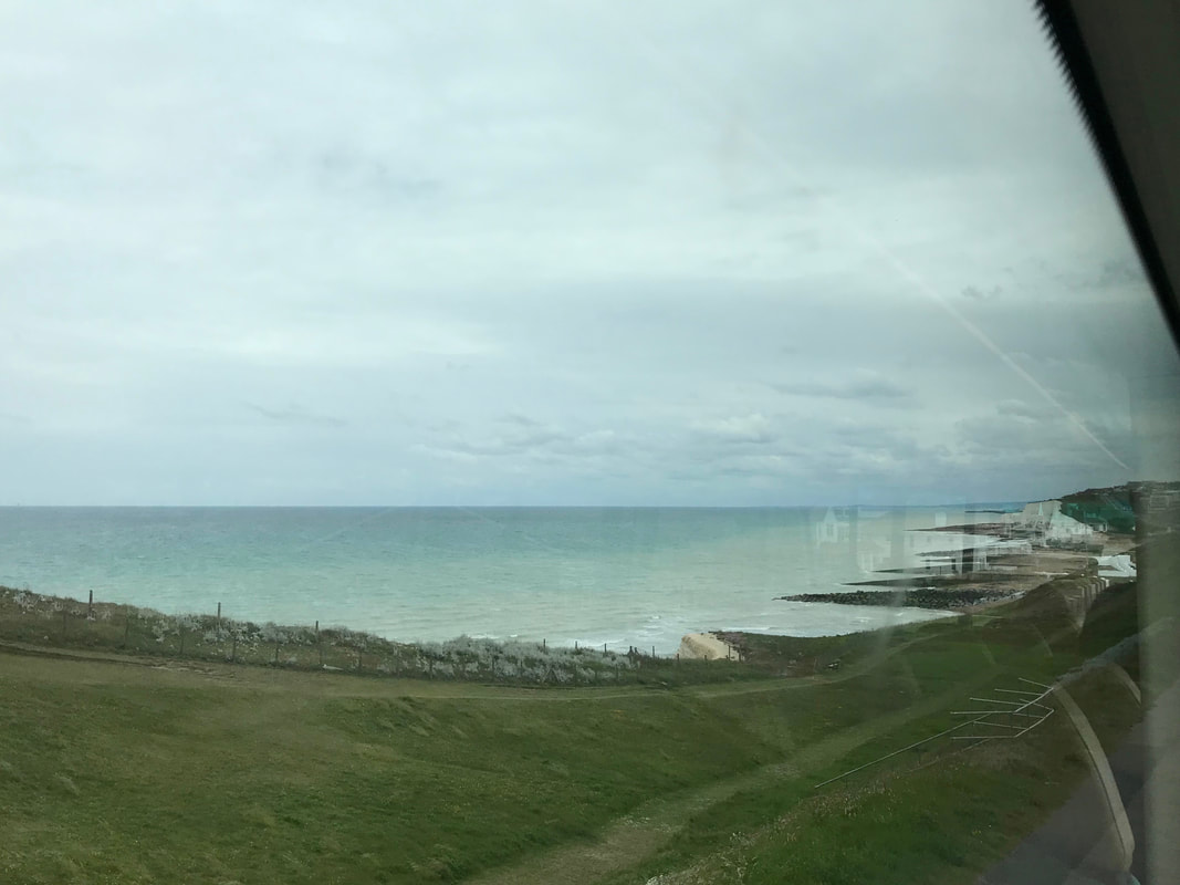
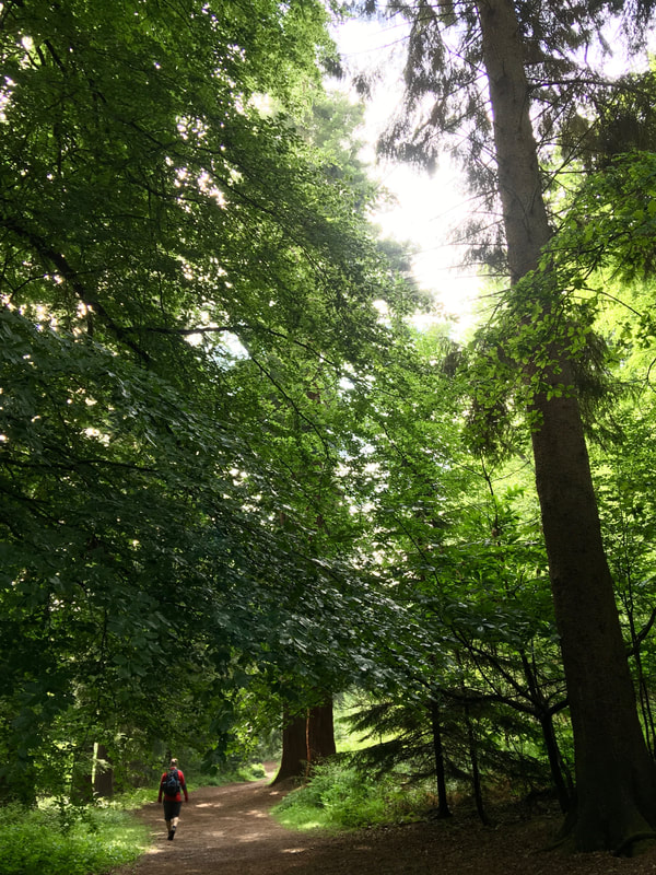
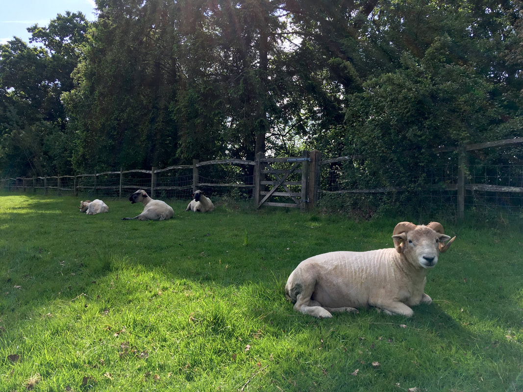
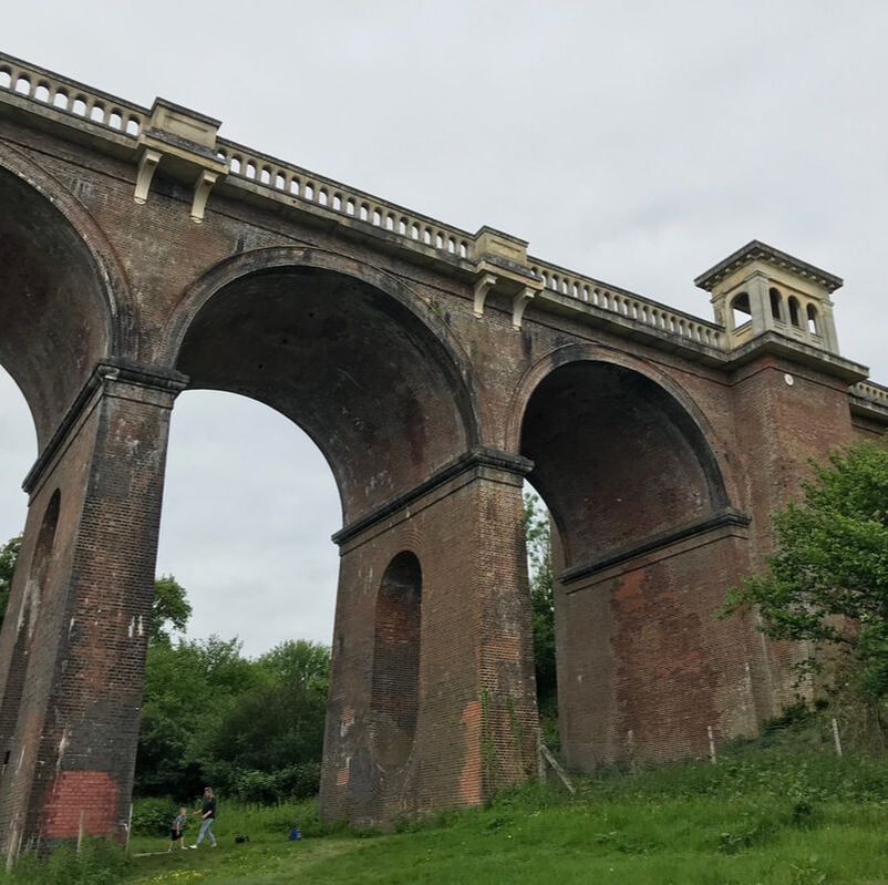
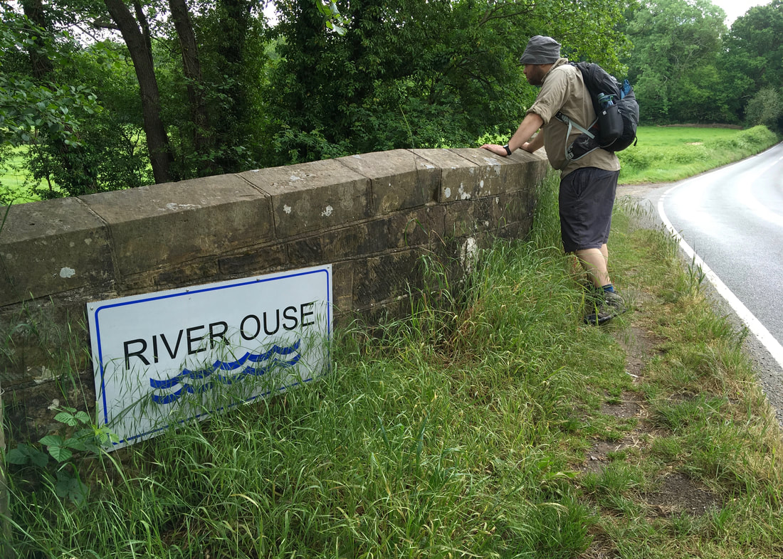
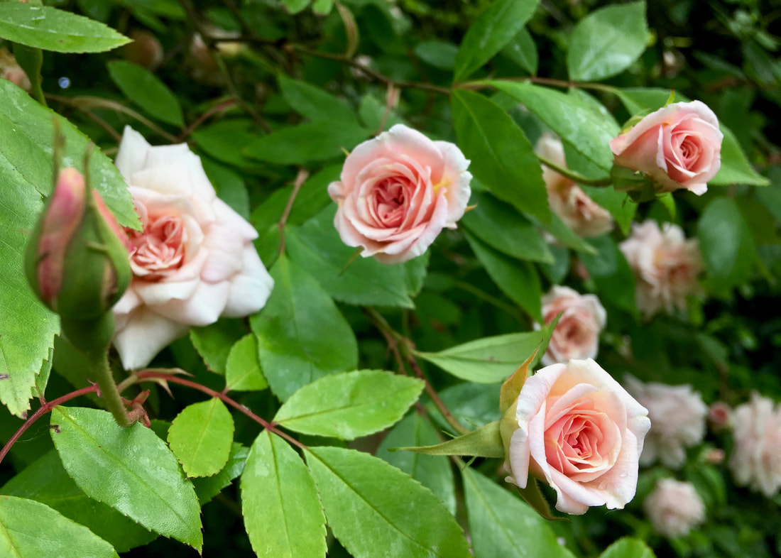
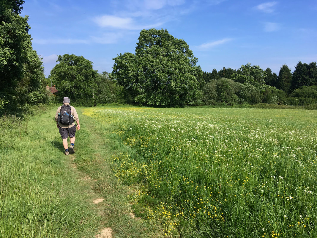
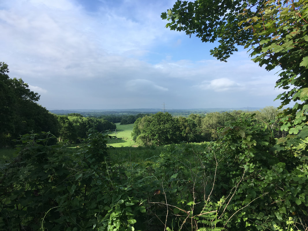
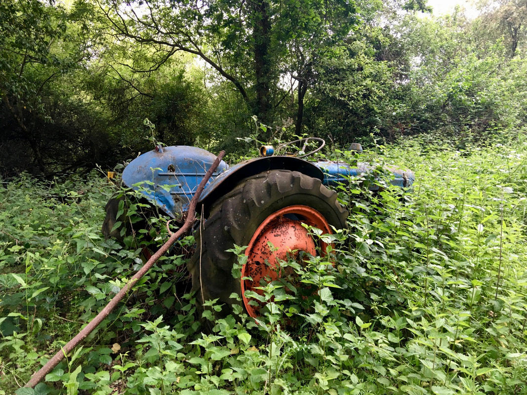
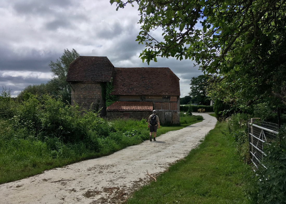
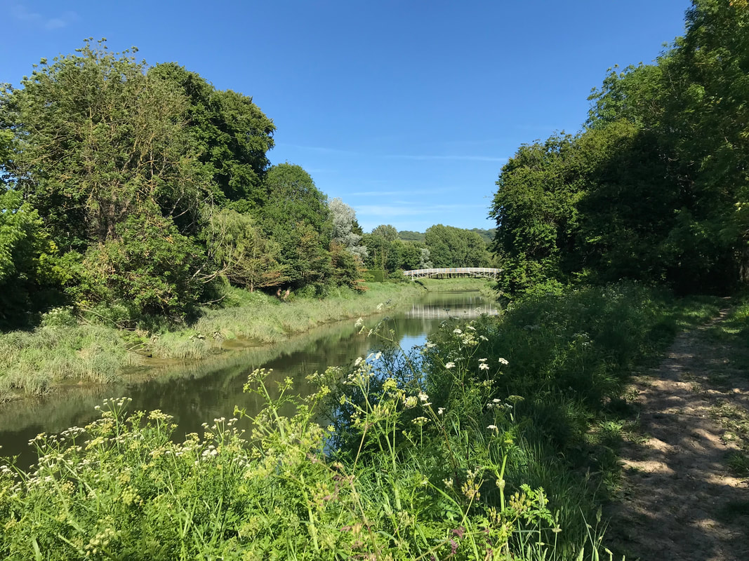
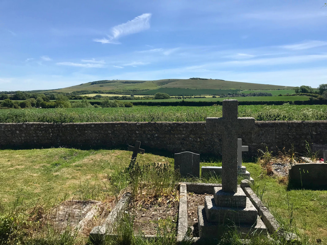
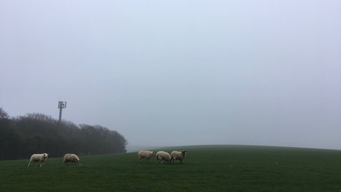
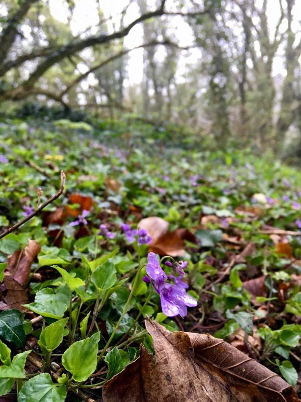
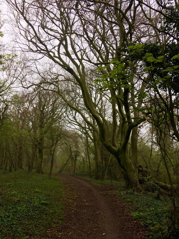
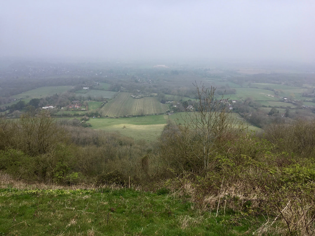
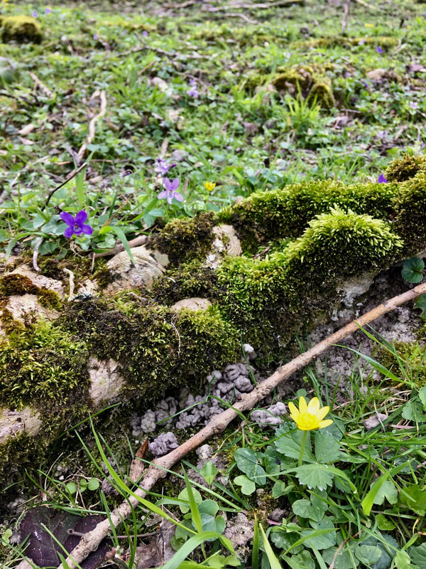
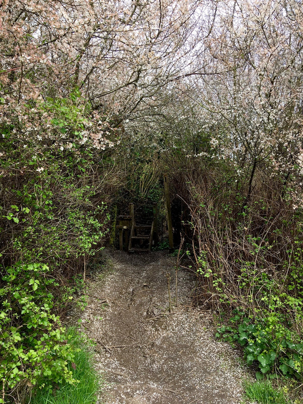
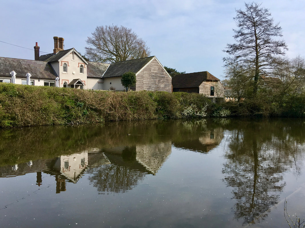
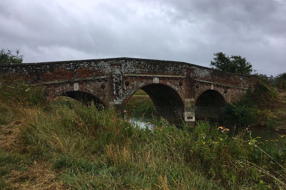
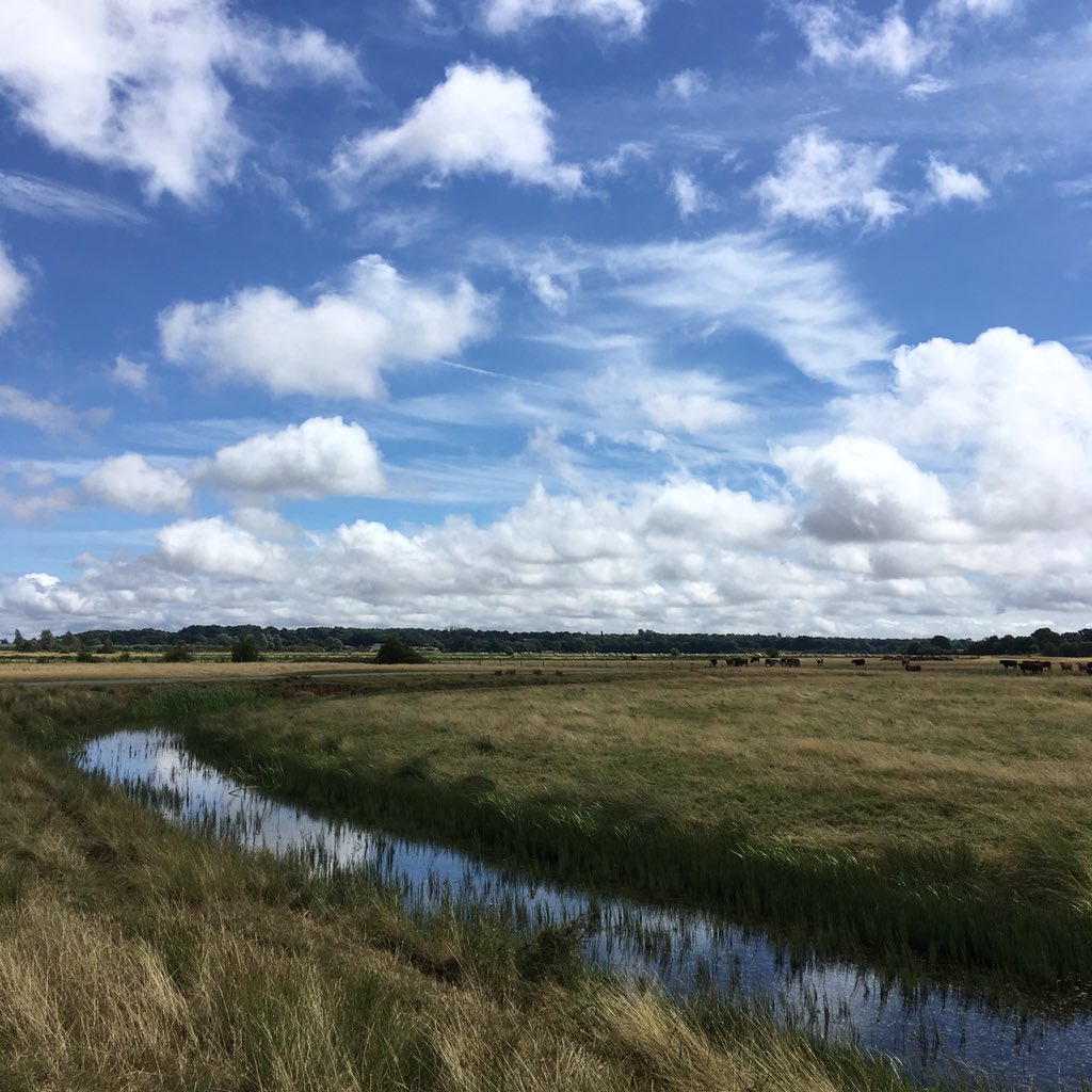
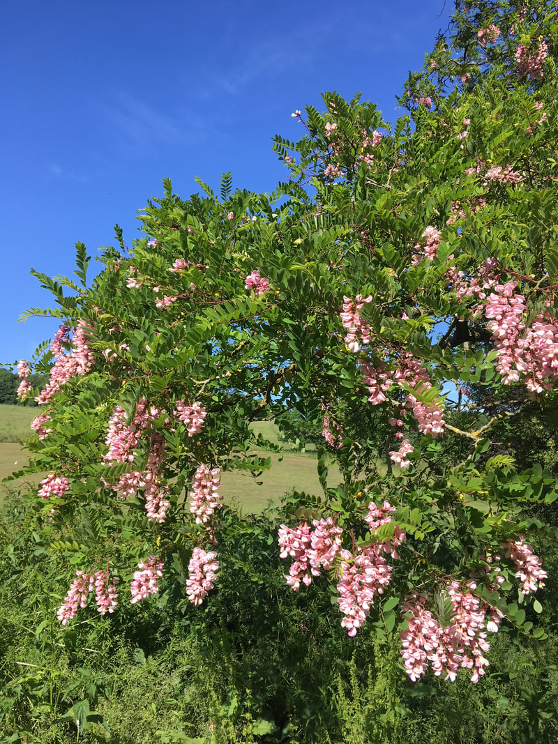
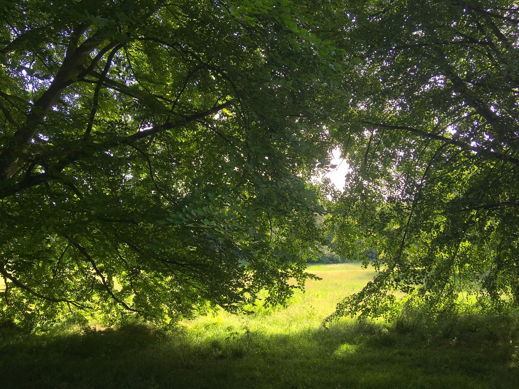
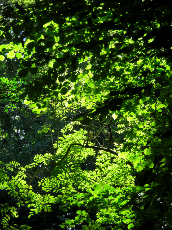
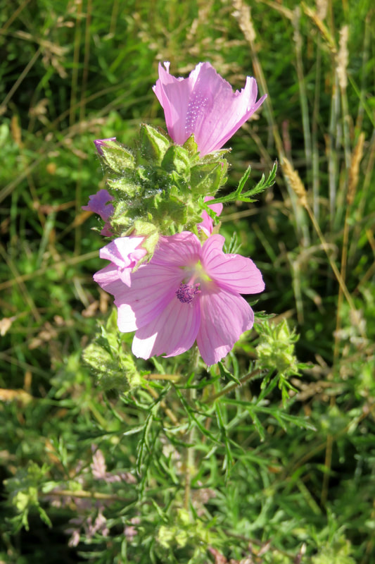
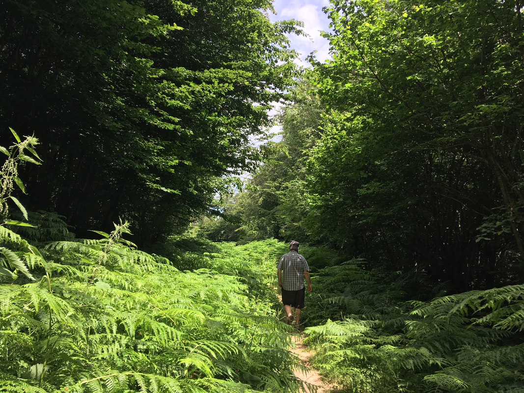
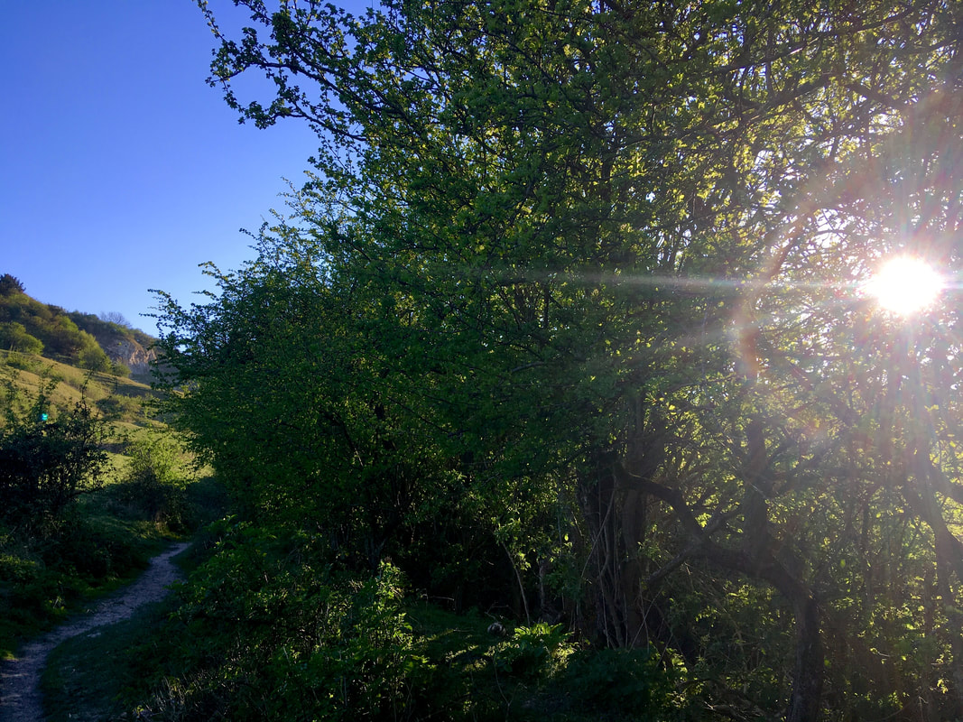
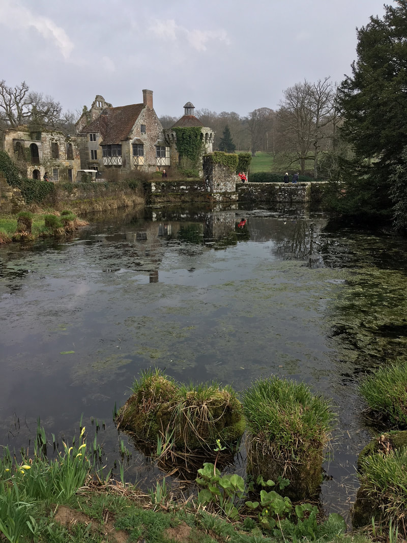
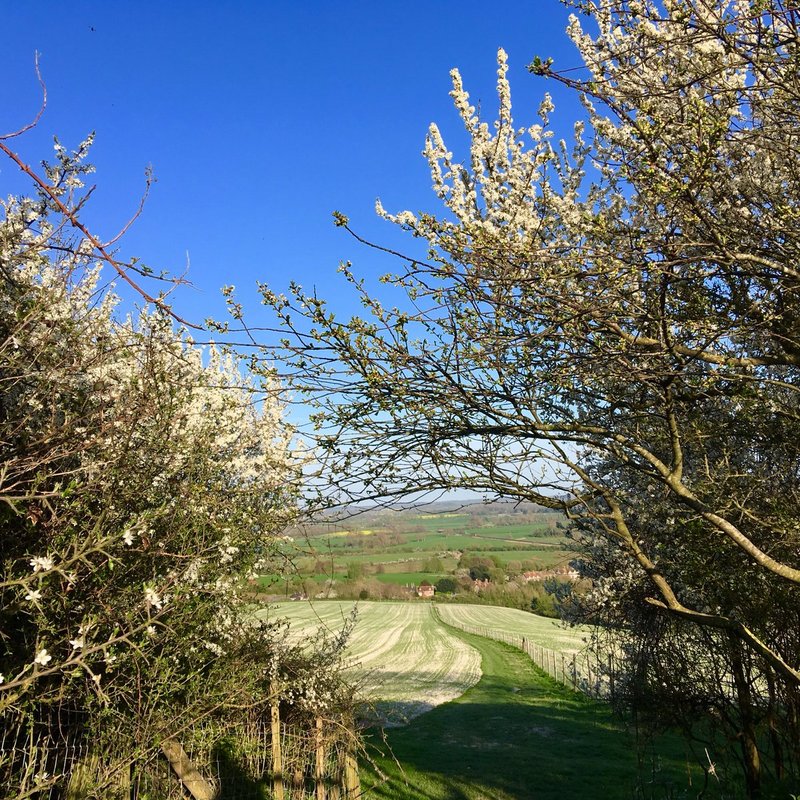
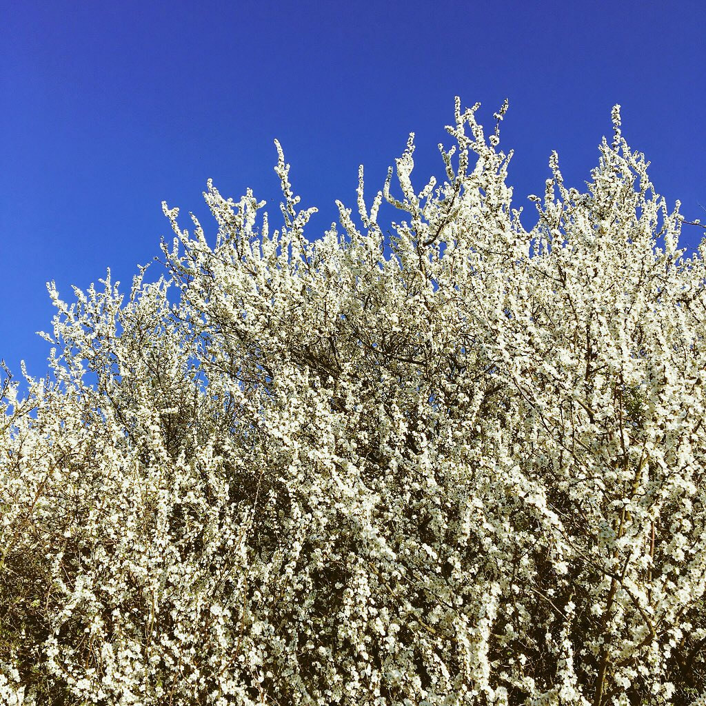
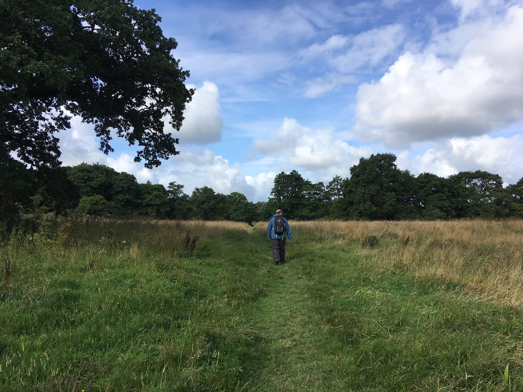
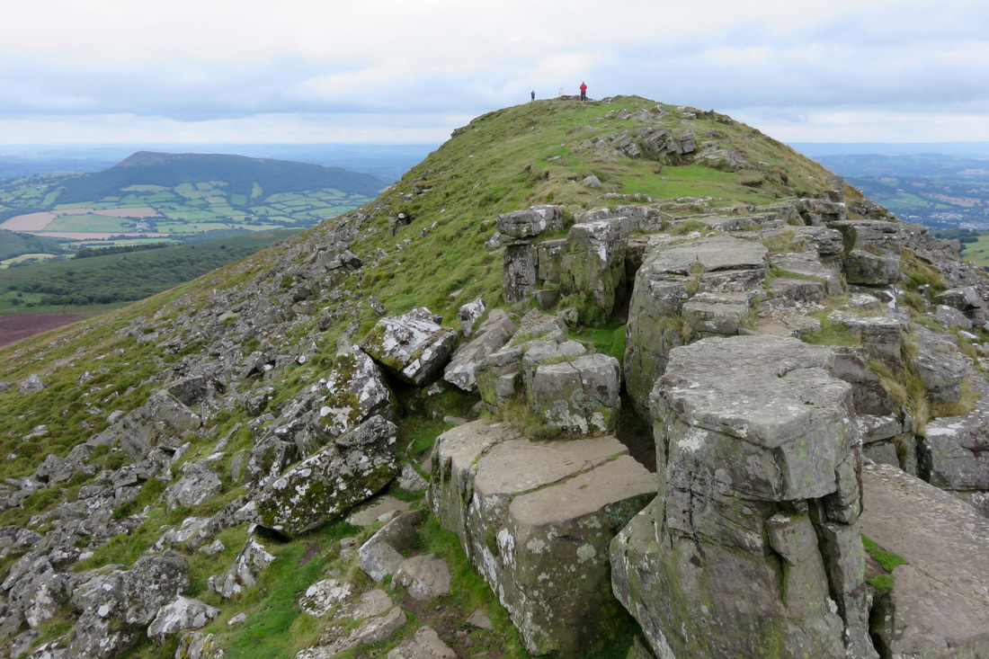
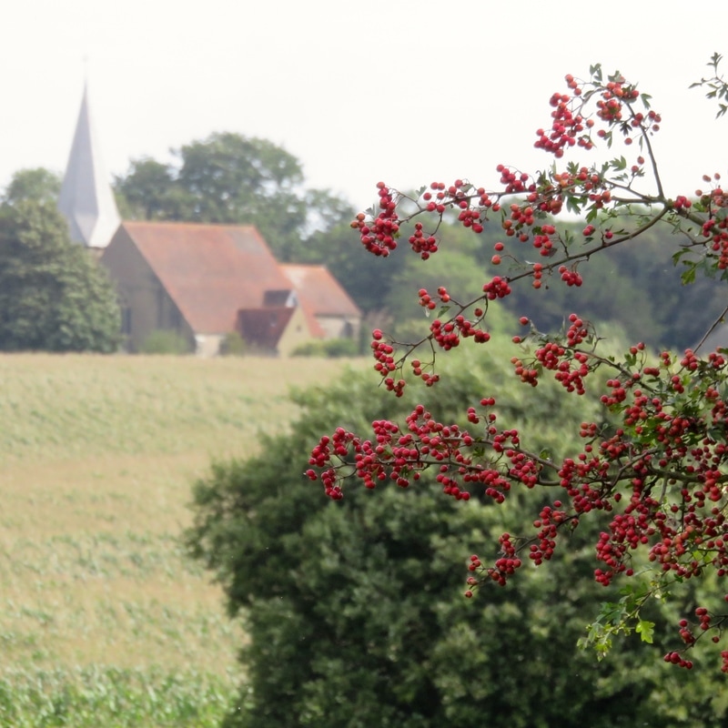
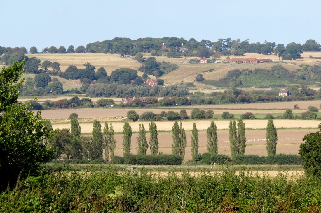
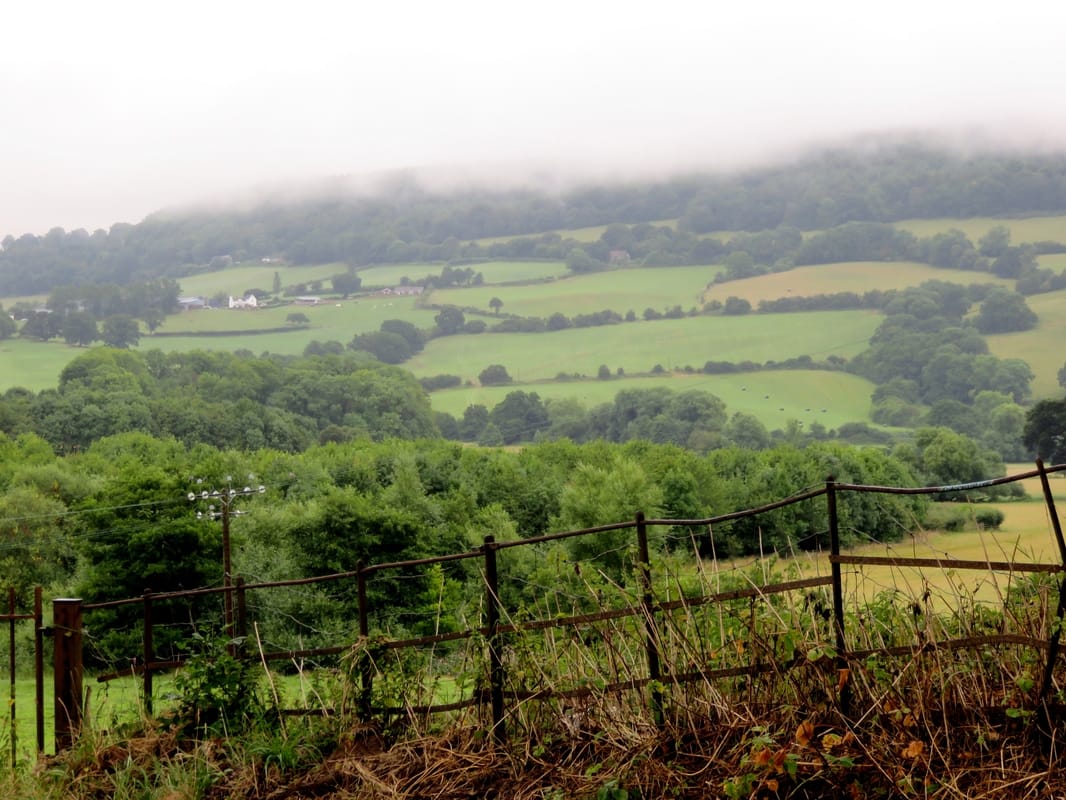
I’d seen a couple of markers for this path over the years, and noticed it on lists of long distance paths in Sussex, but I’d never purposefully gone out to walk any of it. More fool me - it’s a really beautiful trail. Just in our short stretch, we found broadleaf woodlands full of bird life, farm tracks with friendly sheep, art and sculptures in gardens, meadows churning with butterflies, a viaduct and bridleways along quiet back lanes. And further west, of course, the path goes through Ashdown Forest, which is always high on the list for visitors to the area. If we had been staying in East Sussex for longer, I would definitely have added this to the list of trails to walk in full. Oh well, something to do when we come back to the UK!
A low brick viaduct with several arches over green field under blue sky
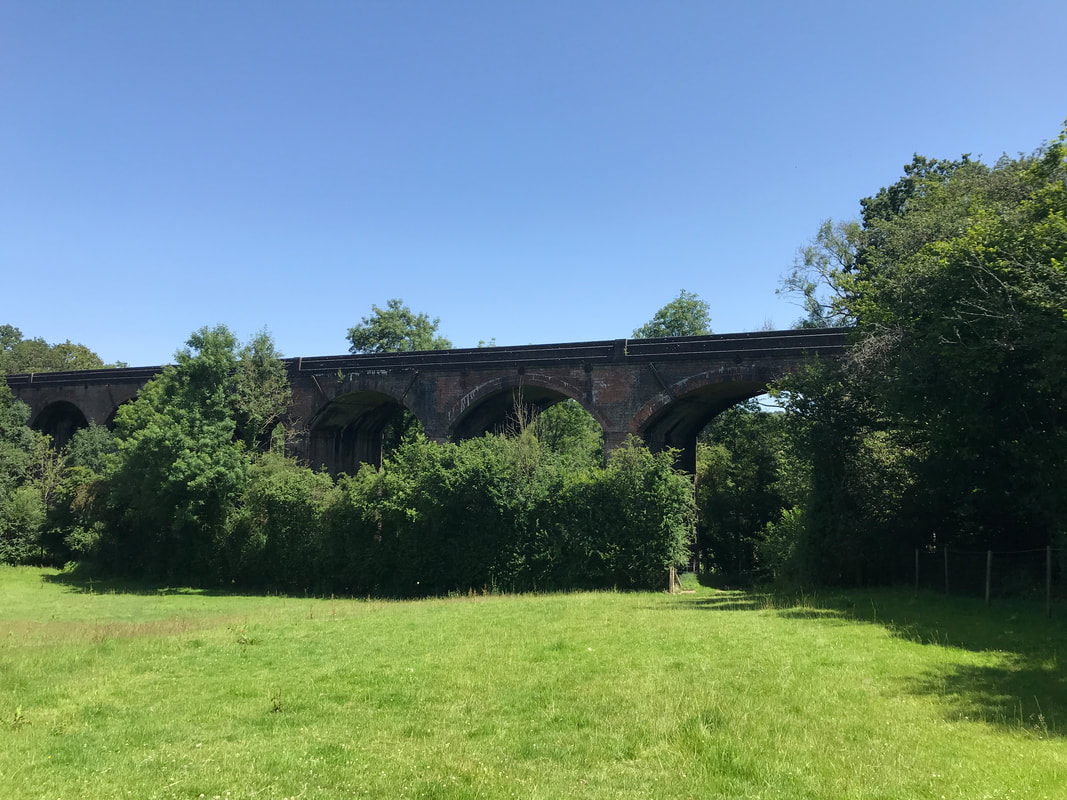
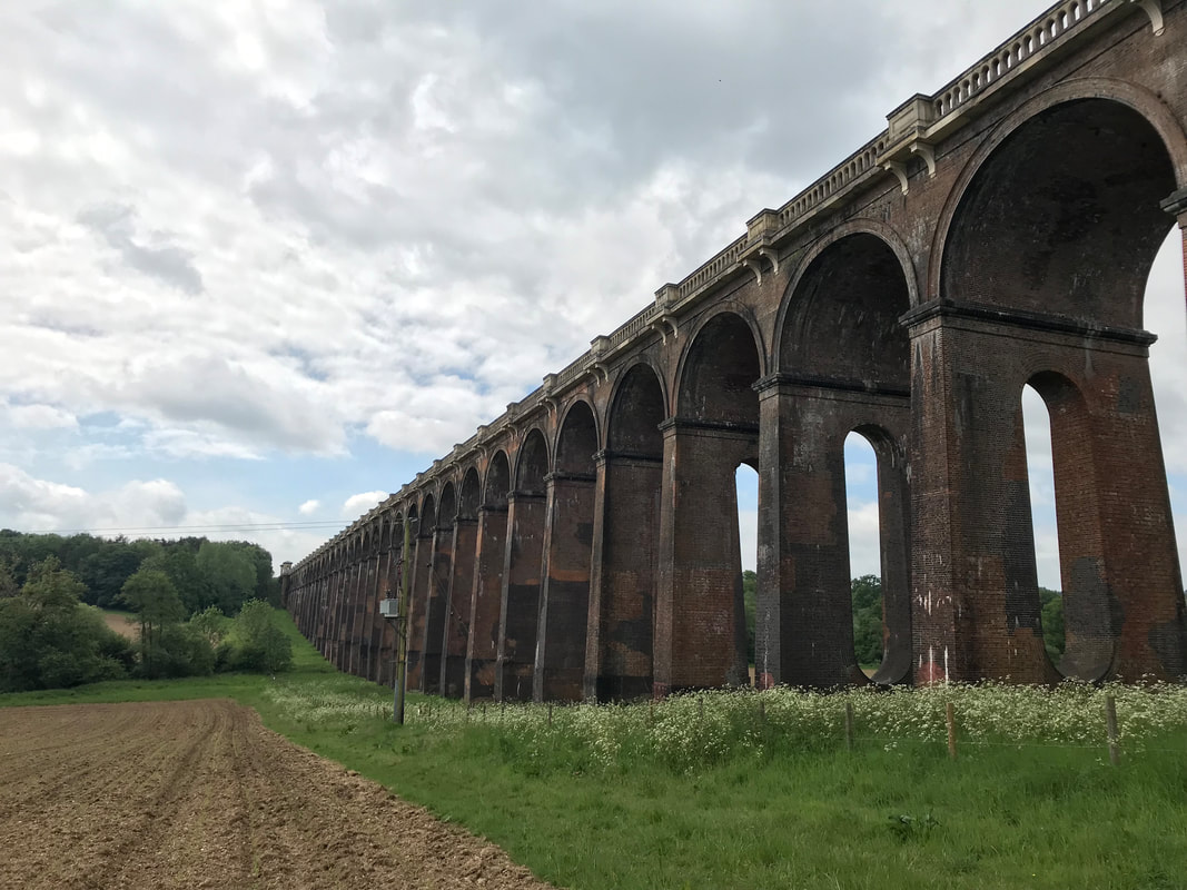
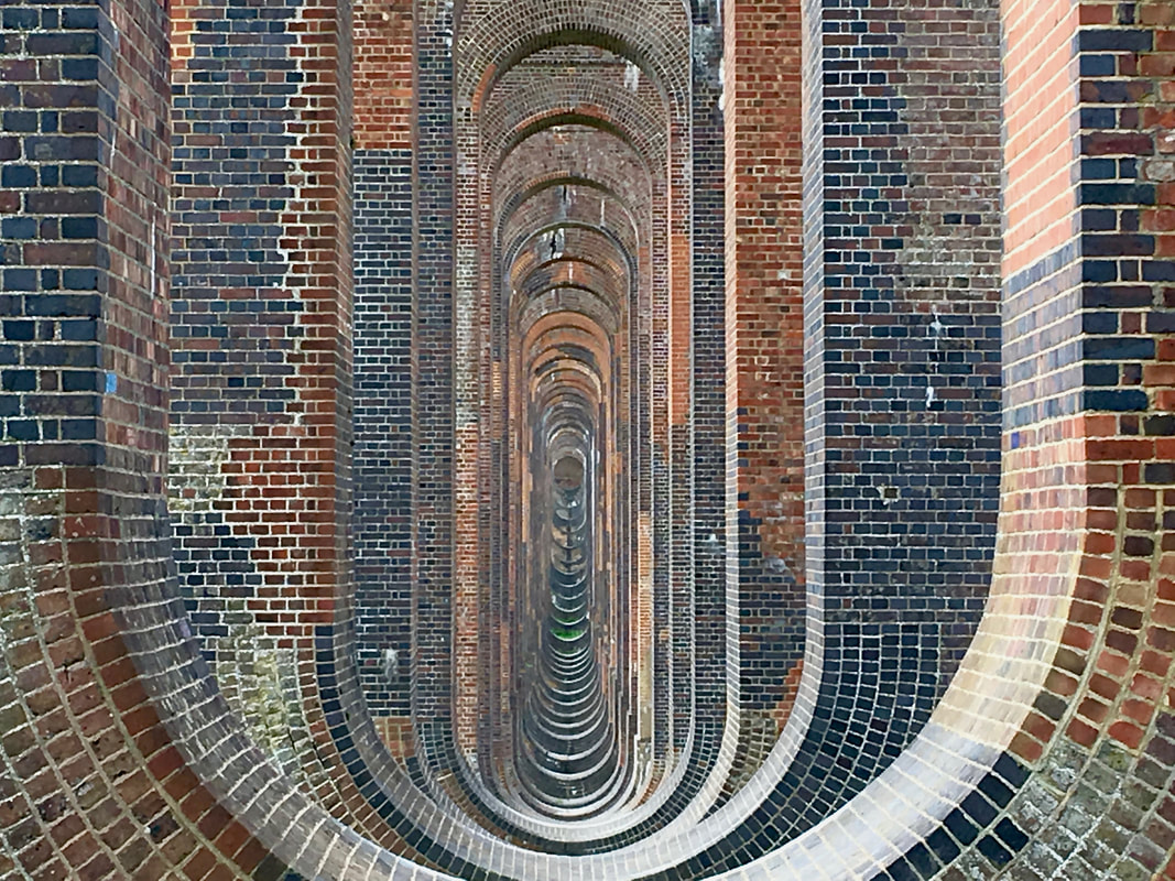
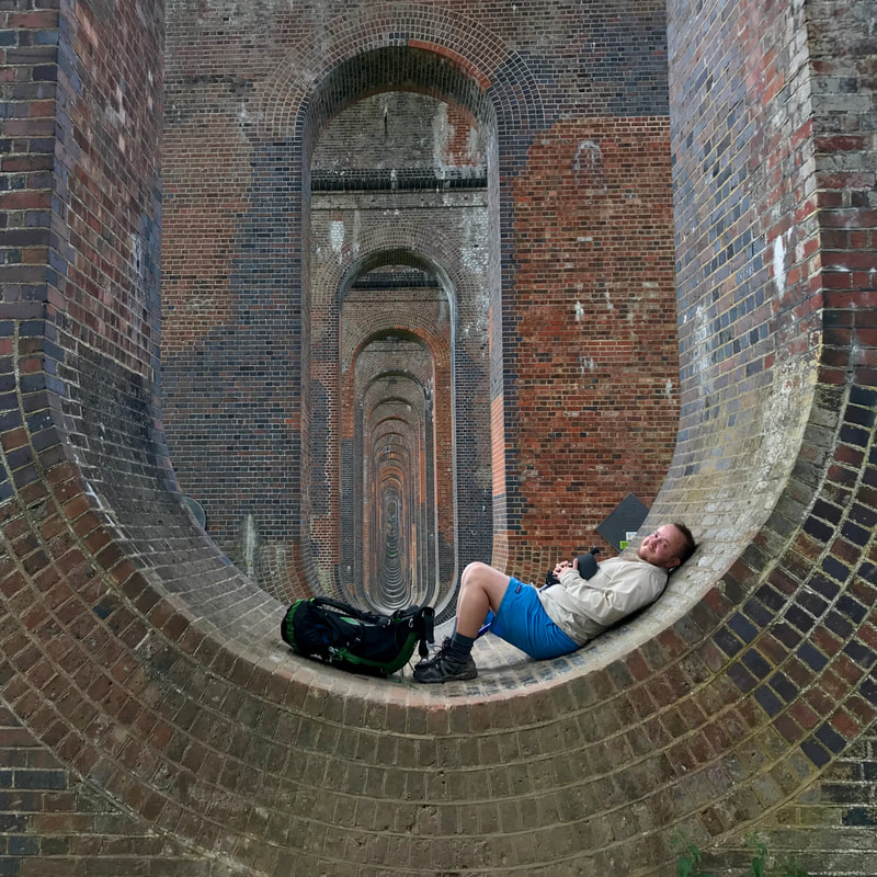
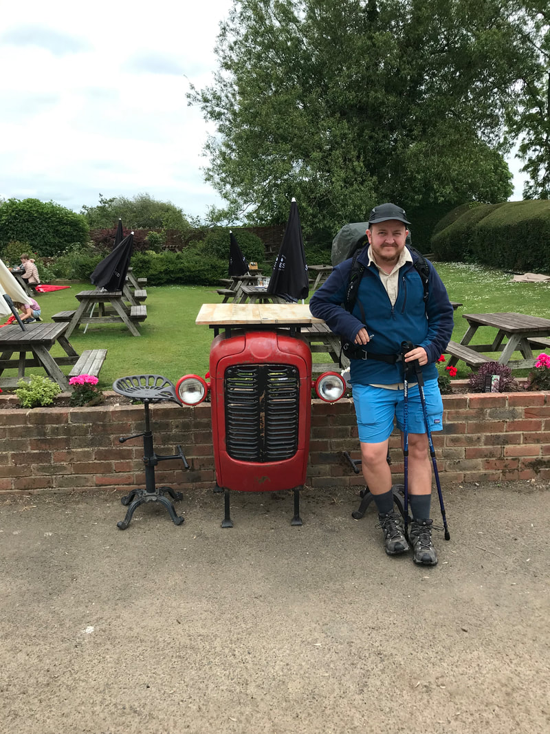
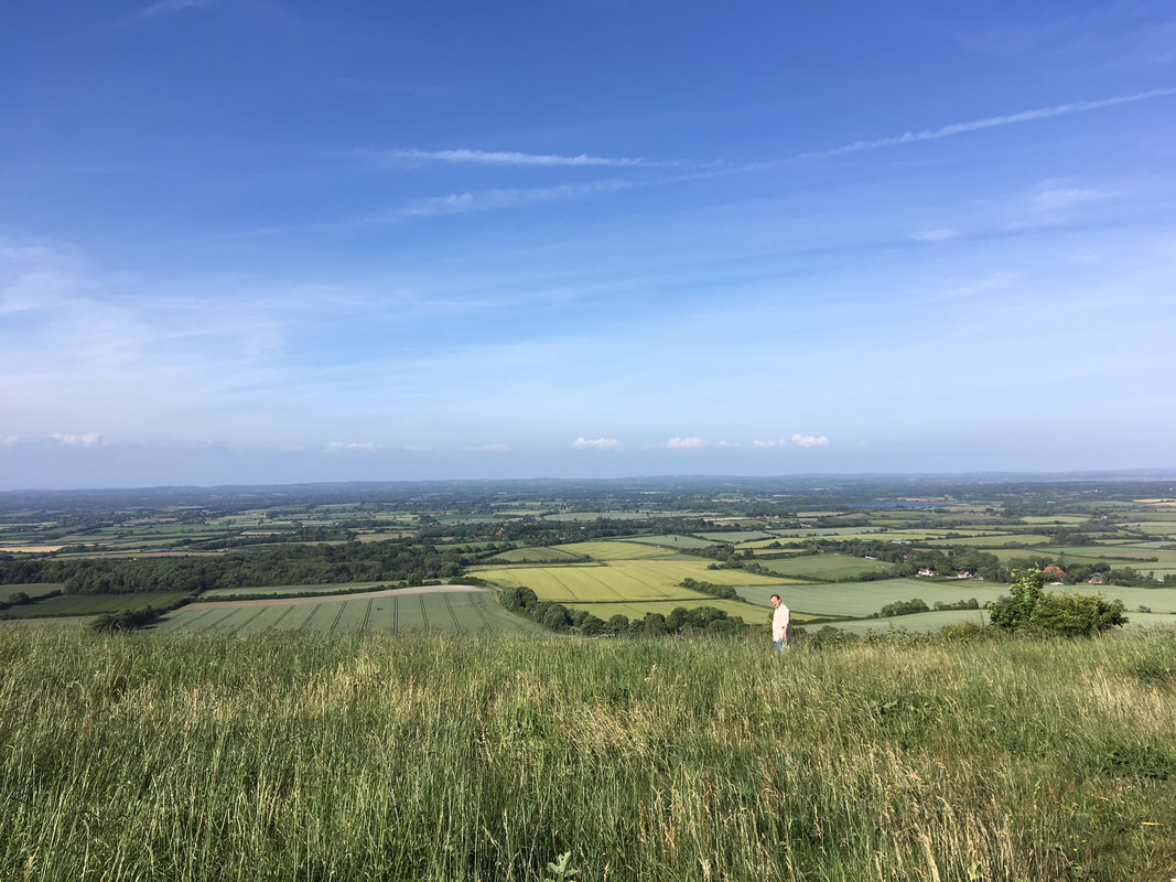
The viaduct near High Hurstwood - it was a pretty good spot end to our involvement in the waymarking project, and the weather was great!
UPDATE: February 2022: Good news about Don't Lose Your Way - the deadline is set to be abolished!

If you’d like to get involved, you can check out Slow Ways here and Don’t Lose Your Way here. I also highly encourage UK walkers to join the Ramblers - those paths don’t open, maintain, fight for and walk themselves!

4 Comments

Zine: A Walk on the South Downs

20/9/2021

0 Comments

 
Facing another locked-down birthday, my friend Erin Kyan decided to hold a postal zine fair for his party!
Erin sent out two templates for aspiring zinesters to use, then he and his partner printed and folded many, many, many zines to send out to friends. My parcel is waiting in Australia - I'm looking forward to seeing all the hard copy zines when we get back there in a couple of months. In the meantime, I'm enjoying the digital versions. Erin also had a live stream to go through all the zines, but it was at 3am UK time, so I had to watch it the following day.
Line drawing
Morning tea on the first day, eating Gemma's home made brownies. Maybe you can just make out a face, a shirt, and some trees, grass and a fence!
Writing
Intro to my zine.
I made a zine for the party! I'd just been on a wonderful three-day walk with my friend Gemma over the South Downs, meandering slowly from Brighton to Eastbourne. We aimed to take it easy and really soak up the atmosphere, only walking about 12km/7.5mi per day. Our main preparation seemed to be bringing way more food than we needed. It was delicious, and we weren't carrying camping gear, so I'm not complaining!
Line drawing
Lunchtime view over the Ouse valley towards the Caburn (aka Mount Caburn). We'd been up the Caburn with Gemma a few months before, and it was fun to remember that trip. I love these views from the South Downs.
Line drawing
View from the Church of St Peter in Southease, where we filled our bottles from the free water tap provided for South Downs Way walkers, cyclists and runners. The line down the middle is a rope swing.
One thing I'd wanted to do on the walk was to make some art along the way, so I took my sketchbook and a pen and did some contour drawings. In the technique I like to use, you look at the subject of your drawing but not at the paper while you use one continuous line to draw what is in front of you. It's a fun way to make you slow down and really look at whatever is in front of you, and the results are often kind of surprising.
Line drawing
A robin on the path to The Farmhouse at Southease YHA. We stayed in a pod there, rather than having to lug all our camping gear along. It's a convenient stopping place - and nice for lunch if you're there during the day.
Line drawing
Gemma napping on the downs, probably somewhere near Firle Beacon. The wildflowers were amazing this year! I like how the flowers look like they're growing over her rather than behind - like something from a children's book.
My sketchbook is square and the zine format is oblong, so these are crops of photos of the images. Usually I spend about 5-10minutes on each drawing, so it's not a huge time commitment when walking or travelling in general. It often takes me a couple of drawings to get into the swing of things - and some scenes are trickier than others.
Line drawing
Refreshments at Jevington on a very windy day. This ended up being the only drawing I did on the third day, because the weather wasn't quite as nice and I was a bit too chilly to stop. Also, a bit tired!
screen cap of the front cover of many zines to download
A bunch of zines that I'm looking forward to reading in person. There's something about holding a physical copy that you don't quite get with a PDF.
Anyway, the walk was fun and making the little zine was fun, and Erin's idea for a postal zine fair for his birthday was super fun! I just thought I'd share something I've been up to in addition to packing up our lives and getting ready to move to the other side of the world!

One of the things I enjoyed on this trip was crossing over with so many of our other outings and adventures, like walking the Sussex Ouse Valley Way, sleeping on the South Downs after a thunderstorm and, although not the same bit of the South Downs, carrying on the idea of enjoying slow walks. It was a fitting and slightly bittersweet goodbye to an area I have learnt and loved and feel really connected to.

0 Comments

In the details

25/1/2020

2 Comments

 
Do you always take a camera out when you go for a walk?
close up of green spiky frond against blue sky
A spiky frond in someone's front garden. I liked the repetition and variation, the sharp edges and the floaty hairy bits.
Over the past few years I’ve taken more walks and trips without the camera. It’s been a way to take the pressure off myself to “produce” something and helped me focus more on the experience of being there. But I’ve also started to miss taking photos with a proper camera (well, a non-phone camera). I like having a zoom! And a better quality image to look at! Also, if I am conscious about using the camera, rather than just walking around with it in my hand taking photos the entire time, it can help me slow down and notice things in a different way - especially details.
lamp post and metal bracket against blue sky
A lamp post at the end of the High Street. I guess that bracket is for hanging flower baskets from?
With that in mind, I took the camera on my walk into town the other day. Although the trip was otherwise a bit of a failure (I went to pick up a prescription but it hadn’t been sent through yet, I went to get some more yarn for crocheting a beanie and bought the wrong one), I enjoyed making it into a slow, meditative adventure. I also got to pat two cats on the way home, both of whom saw me coming from ages away and ran up to me to say hello!
trees silhouetted on sunset sky with sun shining through
Hello, sun!
branches reflected in a puddle
The sky on the ground.
I loved watching the changing light as the sun started to set. It’s starting to stay lighter a little later in the afternoons, now, which is a relief. It had rained that morning, so there were puddles on the ground and in the hollows of fallen tree trunks, reflecting the colours of the sky. It was very beautiful.
glimpse of orange sun and sky through silhouetted brush
Almost abstract - full zoom looking through the trees and bushes to the setting sun.

That's it, that's the blog post!

2 Comments

Beefsteak!

6/9/2019

2 Comments

 
I'm not announcing my abandonment of vegetarianism.
pinkish bracket fungus on a mossy tree trunk
I did not forage the insect.
I mentioned last time that autumn was upon us, and the abundance of fungus we spotted on our weekend walk has confirmed this. We saw loads of different mushrooms. Porous, gilly, brackety, bright red, rusty yellow and orange, even a few dusky purple ones. And then, on a quiet side path . . . was that a beefsteak fungus?!
many bracket fungi on a log
mushroom in light yellowy brown
The only other time I’ve noticed these has been after rain, when the fungus is covered in a slimy, bright red film. I googled some identification guides to check I wasn’t about to poison us. I learnt that the beefsteak (Fistulina hepatica) usually grows on oak or sweet chestnut - I looked up and, yes, there were the oak leaves, up above a layer of beech leaves. I poked the fungus, it felt fleshy and some reddish-brown liquid (the "blood" of the beefsteak) squirted out. I took blurry photos of the underside and the colour seemed right. “You are unlikely to confuse this species with anything else,” said one website.  And so, we took it home.

(After we’d taken it, I saw a few very young specimens on the opposite side of the tree trunk. It was definitely a positive identification - these had the classic look that gives the fungus its other name - ox tongue fungus.)
pinkish bracket fungus on tree trunk
The fungus in a plastic container
The fungus was pretty clean. I gave it a quick brush and rinse anyway (it was growing close to the ground, and who knows if a dog had visited earlier in the day?) and trimmed off a couple of minor bits of damage. I cut it in fairly thin slices. Incidentally, my wooden chopping board now has some artistic stains on it.
slices of the mushroom showing patterns
Wooden chopping board with splotchy stains
The inside has the most gorgeous patterns. It is pinky red and white when first sliced and goes slightly yellower as it oxidises. We tried a raw sample. It had a sour, faintly bitter, mushroomy flavour. The texture ranged from firm and crunchy to very gelatinous at the edges and top. This is definitely not one for people who have issues with texture.
slicing the fungus with a cooks knife
If eating it raw, I wonder if you could slice it extremely thinly, do a kind of quick pickle, and use it as a garnish for salads? Or perhaps use some kind of olive oil marinade and add it to antipasto?
showing the internal patterns created by tubes
slices of the fungus
I had my mind set on cooking the mushroom, though. There are a number of suggestions online, often including marinating them for a while, soaking in milk to remove bitterness, having them in casseroles, making creamy sauces, and so on. If I find another one, I might try something like this. But I really wanted to get to know the mushroom a bit better, as this was my first time cooking it, so I went for the old classic: fry it.

It looks really meaty when it starts frying, as the red juices leak out and coagulate slightly (as you might expect the blood from meat to do). Check out the video! Blah, blah, science, science, proteins maybe?
slices sizzling in a pan
more slices in white frying pan
I fried the slices on a low heat, changing fats with each round to see if it made a difference. For what it’s worth, I think I preferred olive oil over butter or sunflower oil. I tried a few samples as I went along and found the flavour fairly insipid - still sour, but not particularly mushroomy. I added a bit of garlic, for interest.

I also salted half the slices to see if that made a difference to the flavour and texture. The salt enhanced the flavour, but didn’t seem to do a lot for the texture (I expected it to draw more liquid out and decrease any sliminess, not that there was a huge amount to begin with).
creamy mushroom mix on toast
After I’d cooked the lot, we decided to run with the sour flavour. I roughly chopped the slices and mixed them with sour cream and chives - a kind of Eastern European toast topping. Pretty yummy - and it even turned the sour cream a little bit pink! If I’d cooked them less, I imagine the cream would have turned even pinker.
toast halves with mushroom mix and decorative chive garnish
So fance.
Dan seemed to like the beefsteak mushroom more than I did, but I still think it’s pleasant enough. I also know from foraging experience that flavours can vary wildly depending on where and when something’s collected - maybe another time I might meet a less sour, more mushroomy beefsteak. Regardless, the novelty factor of the visuals makes this mushroom worth foraging at least once.

If you are interested, you can check out a few of my other foraging adventures here.

2 Comments

Turning

28/8/2019

0 Comments

 
It feels as though autumn has arrived early this year, interspersed with bouts of summer that the grouches will say was “better late than never”.
Person in calm sea with gulls lining the shore
I entertain my fans.
As I write, I have been in the water every day for the last four days: sea swimming three of those days, in a smooth blue expanse that glints out to the hazy horizon; river paddling once with a friend, in a clear, young river surrounded by fish and laughing children.
Two people stand knee deep in a river, waving to the photographer who is sitting near picnic tables
We decided it was too hot to climb a hill, so we jumped in here instead.
Last week, I spent five days walking with Allysse through Wiltshire, experiencing everything from epic downpours to hot, lazy afternoons, camping in fields and woods and skinny dipping along the way.
River bordered by green reflecting blue and white sky
Another river that needed getting into, this one in Wiltshire.
For the two weeks before that, we were hosting my sister from Australia, taking her walking in East Sussex, dropping in on National Trust places for a history fix, visiting London and blissing out with gorgeous hill walks, whimberry picking and a river dip under darkening skies (for me) in Wales. It’s been a good summer holiday, the biggest gift of which has been slowing down, doing one thing at a time, not trying to fit things in around other commitments.
Stepping stones lead through heather and shallow pools, a pony grazes in the background
More water, this time at the top of a Welsh mountain. I didn't go for a swim here!
Looking out the window, I can see the rowan berries are hanging scarlet and the beech trees have set a golden fire in their topmost leaves. Along the roadsides, elders are drooping with berries and apples cast their fruit to the yellow grasses. The latest generation of robins is singing and families of other small birds are feasting at our neighbours’ feeders. Local friends are foisting excess produce from gardens and allotments onto whoever will take it - beans, zucchinis, a handful of potatoes. Early autumn is as beautiful as late summer - perhaps even more so, in its bounty and colour.
Person swings from a rope that hangs from a tree
The swings aren't going to swing themselves.
Pink flowers close up
Can anyone ID this pretty flower?
I have not blogged often over the last year or so, and it has felt like an obligation or a chore rather than a fun hobby. I recognise that I have unconsciously developed some entirely self-imposed rules about what a blog post should be, how many words, how many photos, how much structure, and - most stiflingly - how “important” an event needs to be to blog about it.
A jumble of small red berries
Hawthorn, looking brilliant.
hazy blue calm sea with a swimmer's head poking out
Me and the sea (and some kayakers?)
I hope that as the seasons quicken, as trees bear fruit and let go, colour their leaves and let go, that I will be able to emulate this. To let go of unhelpful patterns and reflect on some smaller delights of life.
Pastel sunrise colours in a valley
Money can't buy a campsite like this. After rain, a deer lead us to this field. We heard them barking in the night.

P.S. This is still a good time to make hedgerow jam. Get on it!

0 Comments

Sussex Ouse Valley Way

28/7/2019

7 Comments

 
Despite all our long distance walks and our walks on long distance paths, I don't think we've ever walked a formally named and labelled long path from end to end in one go. Well, not until now!
tall brick viaduct with arches
And when I say "now", I mean back at the end of May/start of June. It's taken me a long time to muster the energy to edit photos and blog, as things have been pretty stressful at work. But I promised myself I'd get something out before the summer holidays started at the end of July (I have one more day of work, this Tuesday!), so here it is.

Day 1: Lower Beeding to Handcross

We started by driving to Seaford (the end of the walk), then catching a bus along the coast to Brighton and another inland to Lower Beeding (the start of the walk).
view of sea from bus window
After a winding trip down country lanes, we jumped off the bus at Leonardslee garden/park and found what our map said was the start of the walk. There was no sign that this was the terminus of a long distance path, but a few minutes in we found our first official Sussex Ouse Valley Way waymark. We wandered down a muddy track ("Lorrys and Vans will / Get stuck if you go / down / here !!!!!!!!!!!" said the sign) and past the gardens, enjoying the overhanging rhododendrons and glimpses of more through the fence.
selfie of two people in raincoats
waymarking disc
It was lunch time when we started, and drizzly, so we stopped in the outskirts of a beech wood for a snack.  A peaceful break, except for the sound of dozens of police dogs barking and howling in their training fields back over the valley.
view out onto wheat field with person in raincoat
We'd hoped to stay dry-ish, but walking through a field of recently-drenched young wheat put paid to this. Water leaked through my shoes in the first few steps, and more dripped down my legs, soaking my socks from above. After a little while I gave up being bothered by the squelching, knowing it was a short day and we had a nice Airbnb to look forward to at the end of it.
Person crossing a footbridge in a beech wood
I didn't take a huge number of photos on this first day, as it was drizzling on and off. It was interesting to be on a path that I hadn't really researched (often I'll map them out myself, but we had a downloaded GPS route for this) and following waymarks more than the map (the path was pretty well signposted). I had a much less clear idea of where I was - and I had no idea whether the streams we passed or crossed were the Ouse or minor tributaries.
person walking down road with 'road ahead closed' sign
In the photo below (which may or may not be the River Ouse), you can see the rust-red of iron in the water on the right. I've talked about this phenomenon before  - the photo below is a much less spectacular version!
creek bed with very little water in it
When we reached Slaugham (pronounced Slaffem, we think - while Laughton in East Sussex is pronounced Lorten) we took a quick break in the church, resting our feet and getting out of the rain. From there, we took a long, unpaved estate drive up to Handcross, passing the interesting structure below, then walked on to our Airbnb. We upgraded to the family room with its own bathroom so we could wash our socks and dry them on the towel rail without forcing anyone else to look at (or smell) them. We watched a horse and chooks from the window, patted the cute house dog and binged on the last few episodes of Killing Eve Season 1.
stock thing
view of pond through an open window

Day 2: Handcross to North Chailey

Our friendly host gave us a lift back up to town so we didn't have to retrace our steps up the road. That was especially nice as we knew we had a long day ahead.
selfie of two smiling people
We set off in intermittent sunshine, heading straight into Nymans. We'd visited before, but we'd stuck to the gardens and the house then, rather than exploring the woods, so it was lovely to have a look around as we went through. We were almost the only people there so early. It was just us, the chatty birds and the tall trees.
new growth on a yew tree or similar
person walking below very tall trees
Out the other side, we followed roads and paths into Staplefield. We'd read in the notes on some website or another that the Sussex Ouse Valley Way was on 80% sealed paths, so we were keeping note of what was underfoot. Although we did seem to follow a lot of country lanes during the first couple of days, we felt there was a good mix with dirt footpaths and grassy fields.
rams in a field
After passing through some farms - saying hello to the rams (above), ducks, flitty birds, horses (very keen to see if we had snacks for them), ladybirds and so on - we came to one of the key landmarks on the trail. The Ouse Valley (or Balcombe) Viaduct features on the waymarkers for this path. I remember going over the viaduct on the train down to Brighton the first time we visited, and again when we first moved to the UK back in 2011. I've always wondered what the structure would look like from underneath. Turns out it looks pretty great!
looking through the vaulted brick arches of the viaduct
Having seen hardly anyone all day, about two minutes after we stopped for a snack and a lie down several people appeared - a solo walker, a solo sightseer and a family party that looked like they were going to stay for a while. So, after taking our pictures, we headed off.
person lying in the bottom of a brick arch
looking up at the viaduct
And then . . .
person looks over a stone bridge wall with a River Ouse sign
. . . our first officially signposted crossing of the Ouse! It's always nice to know you're on the right track. Our next stop was to be lunch at Lindfield, a town outside Haywards Heath. From this section, my strongest memory is of passing through a wood where some kind of conifers were being harvested. The cut wood gave out such a sweet smell - almost like strawberries! We approached Lindfield via the cultivated surrounds of a golf course, then a bit of lane walking and some paths through farms and behind houses before we popped out on the street.
Person walking through golf course
We headed into one of the pubs (on the recommendation of the walker who had passed us at the viaduct) and had a decent lunch. It was a short detour off the path, but we both needed the rest and it gave us a chance to dry our socks and shoes again.
path through grassy field, gate in foreground and woods in background
Nearby clouds were threatening rain as we headed off after our break, but all we got was a very muggy atmosphere, ensuring we worked up a magnificent sweat. I started to worry that I'd only bought one shirt . . . was I going to get extremely smelly?
two sweaty people sitting in a wood
Looking back on this day, it seems very long! It was about 25km (15mi) in total, but it feels even longer than that. There are whole sections I've skipped in this post - we went through woods and farms, stopped at a pub near the river just as it was closing (they still sold us a nice cold drink) and admired all the late spring flowers (I have decided May is the prettiest month of the year in these parts).
light pink roses
We also passed quite a number of campsites, from small ones that looked mostly like a field right up to Wowo Campsite - a sprawling, multi-field affair with all kinds of glamping/camping facilities and even visiting food trucks. WoWo is where we left the official path and detoured to our Airbnb for the evening.
person walking beside green field with flowers
It was only a mile or so, but it felt like forever. My feet were very sore, and I was very happy to jump in a bath before settling down for the evening!
View with trees and patches of field

Day 3: North Chailey to Lewes

Morning broke and back we went - down the road, up the lane, into the fields, through the campsite . . . and on to the Ouse Valley Way! There was rain forecast for the morning, but it was meant to clear up into a nice afternoon.
selfie of two smiling people with trees in the background
I don't seem to have many photos from the first couple of hours. But we did take a few pictures of old machinery. This one's for you, Dad.
a blue tractor with red wheels, covere in nettles and vines
Early in the day we passed the Bluebell Railway station near Sheffield Park. Through the morning we would sometimes catch the hoot of the steam train in the distance. As predicted, it did have a good old rain at one point. We'd made it to Newick and I'd just bought a new packet of plasters to tape up all the weird and wonderful blisters I was getting as a result of walking long distances on my (still relatively new) insoles. We took the rain as an opportunity to have a snack and tend to our wounds under cover of a handy bus shelter. Soon enough, the rain turned into a light drizzle, and we set off once more, down country lanes, then up, up, up a hill to a lovely view. We could spot the South Downs, now, and started to get more of a sense of where we were.
smiling person with camera phone standing in a green landscape
The terrain felt more familiar, too, as we dropped back down into the Ouse Valley. We followed packed chalk tracks through what I believe was a large estate . . .
person walking past a farm building in disrepair
. . . and made it back to the river! Now, this was starting to be recognisable as the Ouse we knew. Maybe a little narrower, but I could imagine a line stretching from here to Barcombe Mills (where I sometimes swim), to Lewes, to Southease (a section we've walked before), to the sea. We were entering another stage of the walk.
sparkling little river beside a cow pasture
I was surprised to come across Isfield Lock, which is the subject of a long-term restoration project. Because we hadn't actually spent that much time beside the river during this walk, we hadn't seen/noticed any of the 20 or so locks (or the remains of them) along its length. Information points and pamphlets at the lock informed us that the Ouse had once upon a time been 'improved' and made navigable all the way up to Balcombe - and that materials for the Balcombe Viaduct had been shipped in up the river.
Picture
Receiving this information so late in our walk made me wonder how much more interesting history we'd been missing out on - perhaps we should have bought a guide book after all! I had first heard of the path when reading Olivia Laing's To the River several years ago, but I don't seem to have retained much in the way of historical trivia - only a lingering sense of summer atmosphere, languid rivers and some background knowledge about Virginia Woolf, who drowned herself in the Ouse downstream of Lewes. (I recommend the book, by the way.)
person standing amongst tall weeds and grasses
Our next stop was going to be lunch at the Anchor - a pub that sits on the river seemingly miles from any village or town. We were getting hungry, but that didn't prevent us from stopping frequently to admire the scenery, make note of landmarks we knew appearing in the distance and (at least in my case) remove our boots for a bit of blister-doctoring. (Warning: feet picture coming up!)
Warning sign
Private, no fishing sign
Ha! I'd forgotten about these pictures. The one on the left was at the lock, warning of sharp edges and deep water. I thought it looked like someone entertaining several snakes. The one on the right is amusing because in the UK "OAPS" would usually mean "Old Age Pensioners" rather than "Ouse Angling Preservation Society". This river is not for you, old people.
River bordered with lush green trees and bushes
We finally made it to the pub and scoffed down our food while sitting in the beer garden. We'd seen a few folks in hire boats upstream, and smiled to ourselves as they returned to the landing and stepped ashore with more or (usually) less grace. It was starting to warm up a little, and the rain was forecast to hold off, so it was a good opportunity to once again air out my feet. You can see how the insoles are directing my feet in new angles, creating friction in places that are unused to it. Pretty symmetrical, though. (P.S. More tractor!)
Feet with band aids on
Person leaning on a bar bench made with the front grill of a tractor
We were on a familiar section of the river now, heading down to Barcombe Mills, where I started wild swimming last summer and have continued to go for dips after work this year. After Barcombe, we made for the pretty hamlet of Hamsey. There were more people out and about in the afternoon which was nice to see. On the way we were passed by a small and very energetic dog who did not agree with his owner about where he should walk. We were serenaded to the tune of, "Bruce! Bruce! Come back!" as we traipsed along beside the fields.
person walking through wheat field
I was getting quite tired and sore. I had somehow miscalculated both of the last two days - forgetting to add the distances to and from our accommodation. An extra 5-6km might not sound like much, but if you're limping along at less than 3km per hour it means an extra two hours on your (my) poor, knackered feet! Fortunately, the sun was out all afternoon, making for perfect lying-down-in-a-field weather. I had to make the most of it.
person lying down at the edge of a wheat field
It was an enjoyable path into Lewes. We stopped for many breaks to admire the views. And after we'd struggled up the steep streets into the outskirts of town, we were very pleased to find our Airbnb was actually its own mini-apartment, with an amazingly powerful shower, full kitchen, a shared patio overlooking the garden and a comfy couch from which to watch West Side Story.
river with white bridge under blue sky

Day 4: Lewes to Seaford

The final day of our walk dawned sunny and warm. We wandered back down the hill into town and popped into the supermarket for a few snacks to help us on the way.
sunny selfie of two smiling people
Oh! But before we went to the supermarket, we spent a good while watching ducklings on a pond. We also saw tiny moorhen chicks, which are the cutest, fuzziest things ever.
A duck and some ducklings on green water
Back to the story: we followed the river through Lewes!  The river is tidal here (it is tidal below Barcombe Mills), and there are a lot more boats, which meant some new and interesting things to look at.
boats and reflections on a still river
This was the first town of any size on the river, too, giving us a view of a different riverside environment. The sounds of a busker on the bridge drifted down the water, bouncing off the brick and glass of old industrial conversions and new apartments.
Buildings backing directly onto a bend in the river
The trail was well signposted through Lewes.
sign posts for the path
waymarker arrow
We'd walked the next section before, so we knew more or less what to expect. The path itself is also very straightforward, which allows more time to soak in the view. The tide was coming in as we were going out, creating interesting currents and eddies.
river with chalk hills behind
We saw a couple of SUPers and kayakers catching a ride on the current upstream, which seems like it would be a fun day out - catch the tide up to Lewes for lunch, then head back. The current was quite powerful and they were pretty speedy. I hope they were sticking to the 5 1/2 knot limit!
person standing beside a sign that says
I like these flowers - they're called bladder campion.
close up of flowers with bulbous bases and white petals
Last time we walked here, we followed the river all the way to Southease. This time, we followed the official Sussex Ouse Valley Way, which diverts from the riverside about a mile upstream of Southease and detours through the small village of Rodmell and past Monk's House, where Virginia Woolf lived. We still haven't managed to visit the house, despite it being one of our nearby National Trust properties. One day!
rolling hills with stone wall and crosses in foreground
We stopped in the shade of the trees in the churchyard at Rodmell, enjoying the view of the South Downs on the other side of the Ouse valley. And then we decided we'd head over to the YHA at Southease for lunch. I had nachos, which were adequate. It felt very civilised to have all of this in what feels like the middle of nowhere. We wondered if our friend in Brighton would like to walk over the hills from her place to Southease for lunch one day, then take the train home. (Spoilers: she did like, and we ended up doing this last weekend. It was great.)
person crossing a wooden footbridge with light minty blue railings
After refreshments (and a re-plastering of my blisters), we were ready to set out again into the blazing sunshine. It was a stark contrast to the weather on the first day - and I was glad it had happened this way around, because there is no shelter to speak of in this section, so rain and wind would have been miserable. We followed a crowd of people heading into Southease for a fair on the green, but turned off south along the river before we got distracted and had to buy a second lunch and several jars of jam.
blue green river and blue sky
Instead of heading straight along the river, there is a short but noteworthy section that detours up a small, tucked-away valley (where I got to pat an enormously fluffy cat that was hanging out on a wall), climbs up a hill (we did a bit of paddock bashing here, as we couldn't quite figure out the route) and falls down the other side (through some extremely verdant nettles and brambles).
smiling person leaning on hiking poles with green hills in background
It was a fun mini-adventure on a path that had otherwise been pretty well maintained. It also gave us some views out to the sea. (Can you spot the walker - or the path?! - in the photo below?)
green landscape with a person almost hidden by vegetation
Slightly scratched and lightly stung, we made it into Piddinghoe. There, we did our walker-ly duty of visiting the church and admiring its stained glass windows, its fishy weathervane and its round tower (Southease also has a round tower, but we'd seen that several times before).
person climbing a hill
small jetty on a river
Back on the river, we struck out towards Newhaven. The unique building below welcomed us. We've always wondered what it was, as we've often seen it from the top of the surrounding hills. Turns out, it's an incinerator. They burn household waste and generate electricity there. I mean, if you're going to have an incinerator be the iconic structure of your town, you might as well make it good looking.
industrial building with curved end
Newhaven is truly a lowlight of the walk. OK, I'm sure it didn't help that I was sore and hot and very, very ready for the day to be over, nor that the path passes through some less desirable streets, but the town felt dirty, ugly and run down. Soon enough, though, we crossed the rail line and took the diverted track out through a road construction site and onto the foreshore.
tidal river and run down structures
several signs for different walking paths
I'd vaguely wondered why the path ended at Seaford, to the east, when the mouth of the River Ouse is in Newhaven. Perhaps because it is nicer?! However, as we made our way along, the lagoon of Mill Creek to our left gave us a clue: this must have once been the path of the river itself.
Person walking on a gravelly path beside the sea
This suspicion was soon confirmed by some information boards along the path. We also passed the foundations of what had once been a hospital or recovery centre for disabled boys who had undergone surgery. It was torn down in WWII as the powers that be thought Germans might invade here and use the buildings as cover. Tide Mills, the village the hospital was near, was condemned as unfit for habitation a few years beforehand. It all seems rather bleak, even on a warm, sunny day. It must have been dire in winter.
Concrete foundations on a shingle beach
Eventually - finally! at last! - I got to do what I'd been dreaming of since Rodmell: take off my shoes and socks and go and stand in the sea. I love doing this anyway, but it was such a relief to numb my sore feet in the chilly water and to say thank you to them after the beating they'd taken over the last few days. I stood there for a good long while, wavelets breaking around my shins, gazing out to the boats and ships on the English Channel.
Feet, boots, socks and hiking poles and in the distance a person standing in the sea
From there, it was a hop, skip and a jump to the end of the Sussex Ouse Valley Way on the outskirts of Seaford. This end had an information sign, and even a fingerpost pointing back to Lower Beeding. It said it was 42 miles, but it felt like we'd walked a lot further than that (and to be fair, with all the detours to accommodation and lunches, we definitely had). We snapped a happy selfie and immediately made a beeline for the icecream van before hobbling back to the car and driving home.
selfie of two smiling people pointing to a sign
And so that is the story of a pleasant three and a half day walk along the Sussex Ouse Valley Way. I would recommend it to people who'd like to walk a well marked multi-day path, or who have a long weekend and want to thru-hike (as the USAns might say) a trail, or who are generally interested in the landscapes of Sussex.

If you are thinking of walking the Sussex Ouse Valley Way, find a gpx file online (or get the maps) and maybe buy a guidebook so you have a bit more information about the areas you pass through. I'd also highly recommend reading To the River - even if you never plan to walk the path at all!

7 Comments

A slow walk on the South Downs

19/4/2019

0 Comments

 
When was the last time you took as long as you could to walk nowhere in particular?
Chalk road between hedges - one cut short the other coated in white blossom
This looks like a good way to go.
Often, as I map out my walks, I’m wondering if I could put in a couple of extra kilometres before stopping at that pub for lunch, or whether it’s possible to visit both the lookout and the river beach in one day, or if it’s worth the sore feet of an extra five miles to make it to a particular B&B. “Twenty-five kilometres, should be fine!” I think to myself - not taking into consideration the early winter sunsets, not remembering that I haven’t done a long walk for a few months, forgetting to build in time to picnic, forage, soak my feet in a stream, get lost, snooze in the sun, watch birds or rabbits in the grass . . .

But at the start of the holidays, I didn’t have much of a plan. Dan was going to drop me off somewhere between home and Brighton in the morning and pick me up after he finished work. As long as I could let him know where I was at about 4pm, it was all good. I remember with great fondness my mapless walks of a few years ago, so I thought I might do something similar.
Dual carriageway seen through wire mesh from above
The sounds of the A27 in the morning . . .
The landscape was wrapped in fog as we pulled off the A27 opposite Housedean Farm. I waved goodbye to Dan and set off up the side road to join the South Downs Way. I had a vague idea that I might want to walk north over the Downs and through the fields and villages beyond to the River Ouse, then follow the Ouse Valley Way back to Barcombe Mills or Lewes - which would be a long walk, but I was going to be out for eight hours, so it wouldn’t be unreasonable.

A tractor passed me, trailing the smell of cowshit, I snapped a photo of the highway as I crossed over it, I smiled to a couple of hard-faced bike commuters and then I turned off the road and began the climb up onto the hills. The sheep didn’t seem to want to get off the path, so I stepped slowly around them. I saw a couple of house martins (I’m pretty sure - they didn’t sound like swifts or look like swallows). I tried to make out surrounding hills through the fog.
Sheep on a foggy hillside
These were the more energetic sheep. Standing up, even!
After cresting this hill, the path goes straight back down through a wood. I ducked off to wee amongst the violets and noticed that the noise of the A27 had already started to fade. A big bird - which I assume was a buzzard, because I heard them calling soon after - launched itself off a high branch and disappeared above the almost-budding canopy. I decided to stop for a bit and found a convenient tree to sit on.

I like to play a game, sometimes, where I close my eyes and listen. I imagine I don’t know where I am and that I need to figure it out through sound alone. “What are these sounds telling me?” I ask. Birdsong - lots of small birds probably means lots of bushes, trees, places for them to hide and things for them to eat. Distant traffic - probably not a town or city, but not too remote a place in the countryside. Sheep - near or in farmland. The chock-chock of a pheasant and the cat-like calls of a buzzard - definitely not in Australia! Slight echo on the pigeon calls - a valley? A scuffling sound - maybe leaf litter and trees, possibly a wood? No human voices - could indicate location, time of day, time of year. The rattle of a woodpecker - definitely a big tree somewhere nearby. Distant seagulls, a plane overhead. . .

As I sat in a kind of meditation, I decided I was going to move deliberately slowly for the rest of the day. I set myself a different kind of challenge: to walk no more than 8-10 miles (13-16km) the whole day. One mile per hour, on average.
Close up of violets in a wood
There were so many violets.
Path through trees just starting to get leaves
The green mist of spring.
I left the wood and followed the green path into a little valley and up the other side, through fields, past rangy hedgerows. I noted all the plants I could see on the ground beside the path: nettles, rats-tail plantain, ribwort plantain, young hogweed (possibly?), dandelion, silverweed, sorrel, cleavers/goosegrass/sticky willy, violets (purple and white), thistles, bugle (I think - it's the one that looks like furry mint and smells like weed), lords and ladies, dock, a very curly leafed thing I don’t know. . . and plenty of grass, of course.
Shiny green leaves
Young sorrel - so tasty!
Black and white landscape with sun in clouds
Here doesn't quite come the sun.
It felt so luxurious to move so slowly, with such attention to my surroundings! As I climbed through fields, skylarks called noisily all around me. They fly like they sing, skylarks, fluttering and chirring like noisy, hovering bats. I saw a silhouette of a walker through the fog, heading along an intersecting path. I slowed down even further to avoid them, wanting to hold onto my own space a while longer. My plan was immediately scuppered by a tractor that appeared to spray the field beside me. Oh well. The fog - or was it just low cloud? - hadn’t quite lifted off the hills. A bridleway cut a white line through fields of oilseed rape and winter wheat. Classic chalk downs. I sat beside a recently-laid hawthorn hedge to stretch my calves and eat a square of chocolate.
Silhouetted seed heads
I love how decorative these are.
Freshly laid hedge along a fence
I've been noticing lots of new hedge-laying recently.
Another wood, another wee surrounded by violets. Further on, as the sun almost broke through the clouds, I picked some young sorrel and dandelion to add to my cheese and crackers for lunch. I’d been going for just over two hours when I made it to north edge of the downs. I congratulated myself on my slowness and decided on a little detour up Blackcap, which I’ve bypassed before on speedier walks along this section of the South Downs Way.
National Trust sign for Blackcap
Ditchling Beacon is also National Trust and gets a lot more footfall because it's right next to the carpark.
At the top, I found a trig point (well, I was expecting that!) and a little plantation that seemed perfect for another sit down. I found a log and made myself a substantial snack of crackers, cheese, tomato and freshly-picked weeds. As I munched away, I listened to the hum of traffic on the Ditchling-Plumpton road and thought about where I might want to head next: east towards Lewes, north off the downs or west along the ridge to Ditchling Beacon and beyond. I felt called in a Ditchling-ish direction, knowing that if I got hungry I could pop down into the village for a cuppa and a sandwich and so, after sitting for a while and thinking about nothing in particular, off I toddled.
Hand holding cracker with tomato, green leaves and cheese spread on it
The crappy cheese really let this down.
B+W pic with silhouetted trees and a trig point
I spy a trig point!
Back on the South Downs Way, a sign informed me that I’d come 3 miles from the A27 and that it was another 2 miles to Ditchling. More people seemed to be out - several dog walkers, a handful of cyclists, a couple of folks that looked like they might be walking the whole path from Winchester to Eastbourne. I thought about walking it myself - it’s about 100 miles (160km), so would make a good week-long outing. I feel fairly comfortable wild camping up on the downs, too, so I wouldn’t need to book accommodation or be always tied to campsites (though if they were close enough of course I’d stay there - always nice to have a loo and perhaps a shower!).

I also thought that it would be a good place to encourage people to join another project idea I’ve been mulling over for a while: The Slow 100. My idea is that, for a lot of people, walking 100 miles (or 100 kilometres, for that matter), seems wildly out of reach. But what if you could do it slowly - like 10 miles or 10 kilometres a day over 10 days? Stopping for morning tea, lunch, afternoon tea, to take photos or do some sketches, to lie on the grass in the sun, to pop into a tea room or get an icecream from a van in a hilltop car park? You could do it over a week and two weekends. If you had a bunch of folks interested, you could hire a people mover and get someone to ferry you to and from your accommodation to make it even more accessible. I think that's something that many people (not everyone, of course) could achieve. Such were the things I pondered as I wandered.
Landscape of fields, houses and village in low fog
The view north from the downs, which is usually quite a bit more extensive. Still pretty, though.
Wrapped in my own thoughts, I was surprised when Ditchling Beacon appeared ahead. I’d been walking faster than I’d meant to! I stopped to get a pebble out of my shoe and to rub my feet - they were a bit sore as I was breaking in some new orthotics, which were tilting my heels out at a rather more drastic angle than my old ones! - noticing how the temperature was perfect for walking, how I wasn’t hungry or thirsty, how there was hardly a breeze and how the fog-haze-cloud-whatever was stopping the sun from becoming too hot. The skylarks were still going. I wasn’t at work and wouldn’t have to be for another two weeks. I felt so happy!
Selfie of person smiling with eyes closed and landscape behind
Happy.
I dithered around before and after Ditchling Beacon, sitting for a while in the chalk hollows and tumuli to look at the view below, watching some goldfinches in the gorse and a kestrel above, holding the gate for a horse and rider and airing my feet out in the just-emergent sun. I also stood for almost a quarter of an hour watching a pair of yellowhammers pottering around on open access land. They are such spectacular little gems of birds that I gasped out loud when they first flew in. I’d sometimes lose them behind a patch of grass, only to find them again immediately as a bright yellow head popped up in front of me.
Small flowers on the woodland floor
Violets, moss, celandine.
Footpath through tree-tunnel with blossoms on trees and ground
Such a pretty path!
Having managed to while away a bit of time, I decided I’d head into Ditchling village via Burnhouse Bostall. I briefly considered going a mile further to the windmills, but knew if I did I’d probably end up breaking my 10 mile limit! So, down I went, taking the time to go off piste through some pretty scraps of woodland, where rabbits nibbled and butterflies flitted. I said hello to some horses. I stopped to pour out a little bit of water in front of a grounded bumblebee that looked a little sad. I admired the way the breeze had scattered blackthorn/sloe petals like confetti across the dried-mud footpath. Again, I realised how luxurious it felt to allow myself this time and presence - not to rush, not to be anywhere in particular, just to enjoy myself and the environment.

Eventually I made it into Ditchling. I called Dan and decided it wasn’t worth going to a cafe before he came to collect me. Instead, I sat on a bench in the sun on the sunken lawn by the church and museum and I watched a very energetic chihuahua run away from its owner (over and over again). That dog was having the time of its life. And frankly, that day, so was I.
Buildings and trees reflected in a pond
In Ditchling, looking towards the Ditchling Museum of Art & Craft (which I haven't yet visited, but it has some interesting-sounding exhibitions).

All up, I think I walked about 14.5km/9mi - a nice, slow day! When was the last time you slowed down on a walk or cycle journey? The last time you meandered without a destination? I would love to hear about it . . .

0 Comments

River Rother: Source to Sea

3/8/2018

8 Comments

 
You know I love following rivers, so it probably won’t surprise you to learn I’ve been meaning to follow my local River Rother from source to sea for a long time.
River with some boats
I've decided to do a multi-day walk every week these summer holidays, and I realised it would be a good chance to finally go exploring along the Rother. I recorded the river as I went along, from the first time I encountered it as a small trickle across a bridleway to the windy harbour arm where it meets the English Channel. Have a listen as you read on (notes at the end of the post).
The East Sussex/Kent Rother (there’s another one in West Sussex) rises near the village of Rotherfield and flows east and south about 55km (35mi) to the sea near Rye. There are long sections of the river that don’t have public rights of way alongside them, so the best you can do as a moderately law-abiding walker is follow the valley, sometimes by the water, sometimes in the fields or on the hills and ridges above. The route I planned out was about 70km (44mi).
Map of route
I’ve never been quite sure how to go about this walk. Should I do it all in one go, wild camping on the way? Should I use public transport as much as possible to come home each night? How many days would I be walking - three or four, maybe?
water in culvert
Water reflecting sun and clouds
As it happens, Dan didn’t feel like coming on the walk, so he kindly ferried me back and forth when needed. I had some pretty extreme weather, too, which meant I was glad to not be camping out. Due to the heat on the first day and the wild wind and rain on the third day, I ended up walking for four days rather than the three I initially planned.
Path through dry field
I tweeted about the walk, and you can find the threads and lots more photos here:
  • Day 1 (Rotherfield to Stonegate, ~18km)
  • Day 2 (Stonegate to Robertsbridge, ~13km)
  • Day 3 (Robertsbridge to Newenden ~15km)
  • Day 4 (Newenden to Camber ~24km)
Picture
River with green weed and lily pads
Overall, I had a great time. I enjoyed getting a sense of progression as the scenery changed from the steepish hills and small streams at the beginning to the widening floodplain and braided watercourses in the middle to the levels and tidal stretches of river at the end. There are sections I would definitely walk again. I had fun exploring somewhere quite local to me and getting a bit of an insight into land use along the valley, smelling the hay bales and hearing the hoots of the steam train around Bodiam and Newenden. For the most part, the weather was pretty good.
Hay bales in field
I saw loads of birds: buzzards and kestrels, magpies and jays, LBJs (little brown jobbies), goldfinches, herons and egrets, crows and jackdaws, wagtails, swallows, swans and ducks and geese, a few varieties of gull, oystercatchers and something that I thought was a mudlark/magpie lark, except that they’re Australian. I spotted some interesting beetles, lots of butterflies (gatekeepers, peacocks, common blues and red admirals among others), and dragon- and damselflies in bright colours. And of course, many sheep and cows, along with several horses, a few donkeys, some chooks, domestic ducks and a goat.
Wheat field from under purple umbrella
Kayaks beside river
That’s not to say there weren’t challenges. I had to go doorknocking for water on the first and last days, and the heat and humidity made me a bit ill. The blasting wind and rain on the third day made for an unpleasant last hour or so, as my boots filled with water (running off the long grass onto my legs and down through my socks). I had to cross a few fields with nervous cows, but it was actually the frisky horses in the rain that made me most wary. Probably most annoyingly, though, I encountered a lot of difficult or impassable paths - mainly due to undergrowth of long grasses and nettles, but also a few poorly waymarked paths, locked gates and broken stiles. I got a few scratches from barbed wire and brambles and some small holes in my new shorts from an overgrown stile which could have been avoided with proper maintenance from the landholders.
Old brick bridge
Still, every day I felt so grateful to be able to do this - that I have the time off for walking, the access to the countryside, the physical capacity to do it and a wonderful partner who is happy to act as a taxi service! First walk of summer: done.
River in grassy plain
River meeting sea
The recordings in the piece above, in order, with about 10 seconds of each:
  1. The first crossing of the Rother, down an unwaymarked bridleway near Rotherfield
  2. The river running through a culvert under a road after passing through someone's garden
  3. An almost silent Rother in the heat of the day under St Dunstan's Bridge
  4. Water under a concrete farm bridge, almost tempting me to jump in, near Moat Mill Farm
  5. On the second day, at Wreckery Bridge down through the wheat fields from the railway line
  6. Very faint sounds of water and midday insects just outside Etchingham
  7. Upstream of Robertsbridge, one thread of the Rother collects in an old mill pond before continuing
  8. Under my umbrella in the rain of the third day on the river bank near Robertsbridge Abbey
  9. Watery white noise at the small weir at Udiam, as rain still falls
  10. The hum of traffic and wind around the boats near Newenden Bridge
  11. Geese fly overhead and swallows dart above the Rother while I eat lunch near Blackwall Bridge
  12. Hunkering down behind the harbour arm, trying to collect some non-wind-distorted audio

For more river-length adventures: Snowy River, Cuckmere and River Otter. For more Rother walks: Royal Military Canal, Bodiam Castle and Northiam.

8 Comments

A month of sunny days: June 2018

18/7/2018

4 Comments

 
I could post about lots of things, but I've been far too busy doing stuff to actually get around to blogging. Instead, let's have another photo update - this time for June.
Strawberry and view
2 June 2018 - We went for a walk with one of Dan's colleagues up on the South Downs near Alfriston. It was nice to meet her and her partner and hopefully we'll go for another walk with them soon. I really enjoyed taking a new-to-us bridleway cutting down the hills - a slightly sunken green path that sees only a fraction of the traffic that passes above on the ridge, stuffed with wildflowers and interesting insects.
Wild daisies
Rolling fields
5 June 2018 - We saw lots of little fledgeling birds in late spring and early summer. This cutie was sitting here when we opened the front door and it took a little while for it to move. A pair of grey wagtails nested in a hanging flowerpot in the other courtyard and we watched them for days from the window.
Bird in bush
9 June 2018 - A dear friend came to stay with us for a night. He was in the UK for a month before heading off to his next assignment with the Red Cross. We went for a lovely and, in places, overgrown walk around the Brightling Follies. In the afternoon I had a stand up paddle boarding lesson - I was extremely anxious about it beforehand, but I enjoyed the activity itself once I was out on the water (we went on a river as the wind was blowing the wrong way for sea paddling).
People hidden in overgrowth
Person walking through field
Beach scene
11 June 2018 - We continued to enjoy our after-work strolls around Stanmer Park, watching spring fold quickly into summer. The weather was amazing in June. Do you know what this tree is?
Tree with pink flowers
Closer image of pink flowers
13 June 2018 - Back to Stanmer Park. I didn't take photos every time we visited. It was beautiful this month.
Person walking under trees
View through trees to grass
15 June 2018 - This is the way to start the weekend: sitting on top of the Downs in the sun with a cider, strawberries and a few other snacks from Middle Farm.
Picture
17 June 2018 - Time for the monthly walk with HRRA, our local LGBT/queer group. Our leader for the month took us in a loop from Crowhurst, down over the new bypass and across Combe Valley, with a spontaneous alteration to walk a section of dismantled rail line.
Green wheat tips
19 June 2018 - We hadn't been to Arlington Reservoir for a while. Last time we were there it was so muddy that we couldn't make it around! But it was coming up to cherry season, so we went to see if any of the wild cherry trees had fruit. They did, but it wasn't ripe. Still, it was a nice stroll!
Footpath signpost and sunny scene
Two smiling people and water behind
21 June 2018 - Solstice last light. I have felt like summer days are even longer than usual this year - I think it's mainly because we get so much more evening light through the windows here than in our old place.
Evening sky and lights in houses
22 June 2018 - I set off walking down the wrong track, without a map or phone. I figured I'd gone astray soon enough and decided I'd try to cut through back to the path I was meant to be on. It turned out to be quite a fun little adventure, with a bit of backtracking and a lot of rehearsing my best, "I'm so sorry, I think I'm lost!" in case I bumped into landowners or estate managers.
Backlit green leaves
Pink flower
23 and 24 June 2018 - I cancelled my next SUP session due to anxiety. Instead, we went for a walk on a local footpath that we've never been on before (there aren't many of them left!) then went camping overnight about 25 minutes north of here. We have tried to spend solstice evenings outside for the last few years - usually we go for a summer solstice wild camp, but this time we decided it would be more fun to have a lazy time reading books in a campsite where we could take all our nice bedding and lots of food and nobody was going to come and tell us off.
Person on woodland path
Person sitting in front of tent
View of morning sun from within tent
28 June 2018 - Finally, after years of thinking about it, I went swimming at Barcombe Mills, in the Ouse. I love river swimming and it was so luxurious to slip into the cool water after a stifling day (my work, like many UK buildings, doesn't have aircon and is not built to be good in the heat). The ducklings were a nice touch!
Person and ducklings in river
29 June 2018 - Barcombe Mills is kind of on our way home from work, which is very convenient. And it had been so nice the day before. And it was so hot again . . . So I jumped in the next day, too! Since then, I've been in several times. It's so refreshing. I love it!
Sunny grassy path
Person crossing small footbridge
Person from behind getting into river
Person in river giving thumbs up
Special shout-out to Skarlett's - a small local cafe that does diner-style food with lots of vegan options. I pretty much started and ended June with a freakshake: success!
Milkshake topped with icecream, biscuit and cupcake
Milkshake topped with doughnut and cherry

So, that was my June - no 30 Days Wild for me this year, but I still managed to get out and about! Now I'm looking forward to a month of summer holidays with plenty of walking adventures . . .

4 Comments

April, come she will . . .

3/5/2018

9 Comments

 
I can't tell you how relieved I am that spring is here. Actual light! Actual warmth! Actual greenery! The world is waking up and I am cheering up.
shady path with sun piercing through leaves
A path beside the fresh leaves of spring hawthorn, Malling Down near Lewes.
And so, for no reason other than I'm happy, let's have some April photos. These aren't masterpieces, just a selection of pics from the iPhone (some mine, some Dan's), but does anyone really care about that when there are blossoms and blue skies and sunshine to be enjoyed?
(Just a little tune to look at photos by!)
sunrise with sweeping clouds
Good morning! View from our bedroom window at the start of April.
person and sculpture made of sticks
We went on a short National Trust break in West Sussex.
old building and moat
And also visited Scotney Castle one afternoon - can you spot the frog?
white blossoms
We've taken to dropping in to Stanmer Park on the edge of Brighton on fine evenings before we drive home. The road loop is an easy 1km stroll.
trees with a hint of green leaves
A fine green mist on the trees in Stanmer Park.
budding leaves of bright green
A close up of the budding spring foliage.
pale pink flowers on a roadside
One weekend we went out to check a few footpaths. It was a gorgeous day and I loved seeing all these cuckoo flowers (a.k.a. ladies' smock or milkmaids).
person licking their finger
We also happened upon a coffee morning. Score!
White blossom
Big clouds of blackthorn (sloe) blossoms burst like spring fireworks in hedgerows.
orange sunrise sky with contrails
Another shot from our bedroom window. I've enjoyed watching the sunrise move from right to left over the season.
person in blue shorts jumping into blue sky
I got some new shorts. They're pretty awesome.
landscape through blossomy trees
Another after work walk - this time up Mount Caburn, near Glynde.
chalk cliffs half in sun half in shadow
Stuck in traffic around the back of Lewes, we decided to stop and explore Malling Down Nature Reserve. A brilliant idea, it turned out!
White blossoms
More of that wonderful blossom! I love spring!
person sitting under tarp
A practice tarp set up - and a cute fellow reading in the shade.
people walking along beach at low tide
We went for a long walk with some of our HRRA compadres - from Hastings Pier to Eastbourne Pier, about 15 miles. Glorious day for it!
Patterns in wet sand
Water drainage patterns in the sand, just below the shingle line.
line of alcoves with different coloured walls
Mmm, blue sky, colours and shadow patterns. Fave.
round ruined tower at seafront
The ruins of a Martello tower near Sovereign Harbour, as we approached Eastbourne.
White blossom
Can't get enough of white blossoms, it seems!
trees with green leaves
Stanmer Park again - more leaves on the trees, now...
green lane and hedgerows
I walked home from work on the last weekend in April. It took until Sunday lunch time. More on that in another post!
Bluebell wood
Beautiful bluebell woods. It's so hard to capture them on camera.
pink blossoms
Hey - some pink blossoms, for a change.
landscape with crepuscular rays and water in foreground
Looking back over the Levels towards the South Downs, sun bursting through the clouds. Goodbye, April, you've been great!

And so, we head into May. I want to gobble up as much lovely springtime I can, and I'm looking forward to some nice walks and trips to Wales, Oxfordshire, maybe Bristol . . . What are your plans?

9 Comments

National Trust Road Trip - Summer 2017

22/10/2017

2 Comments

 
Epic post ahoy! (But it's mostly photos - and tweets with photos - so don't be alarmed.) Over summer, we went on a road trip, visited a bunch of National Trust properties, camped a lot, saw several lovely friends and subsisted almost entirely on scones, pizza and instant noodles. It was a pretty great holiday, even if we got the best version of British Summer (i.e. rain) most days.
Tidal mudflats with a line of poles
From Lindisfarne/the Holy Island, looking back towards the mainland over the tidal mudflats.
We recently bought ourselves life memberships of the National Trust (thanks to M&A for the gift). The National Trust owns a whole range of places, from castles and stately homes to countryside and coast, interesting historic houses, follies and factories. Most of these places are open to the public, the larger ones have cafés or restaurants, members get free entry and (usually) free parking. We decided that visiting a National Trust place every day would be a good way of exploring the country during our summer hols. Spoilers: we were right. Herewith, a bit about our trip (places marked with an * are not National Trust).

The South

I always find it funny that English road signs will sometimes point to "The NORTH" or "The WEST" or "The SOUTH" (I don't think I've seen one to "The EAST" before - do they exist?). I don't know what the technical definition of those areas are, but I'm going to divide this post according to them anyway. Essentially, we started in Sussex and did a clockwise loop around England, albeit skipping some major parts and adding a short visit to Wales (and an even shorter, minutes-long trip to Scotland). We didn't visit many NT places close to home, because we'll go to them on weekends and short breaks . . .
Day 1: Barcombe Mills*, Ditchling Beacon, Devil's Dyke, Saddlescombe Farm
Our travels started off with a visit to Barcombe Mills for a walk. Then we headed along the line of the South Downs (Ditchling Beacon and Devil's Dyke) with sunshine and wind and forecasts of storms. Unfortunately, we couldn't stay where we planned on the first night due to a family illness, so we stopped off at a camping field - literally, we couldn't even find the loo! - at Saddlescombe Farm.

Barcombe Mills, nr Lewes. Would be a nice spot for a dip or a paddle. We had a lovely walk. #RoadTrip pic.twitter.com/TUIh6IW5qF

— Jonathan (@jonathanworking) July 27, 2017

Across to West Sussex which, if anything, is windier! Almost blown away off Devil's Dyke. #NTRoadTrip @nationaltrust pic.twitter.com/ynnzeoN2d7

— Jonathan (@jonathanworking) July 27, 2017
person in tent
Me in our tent in the National Trust camping field at Saddlescombe Farm. The adventure begins.
Day 2: Worthing Beach*, Mottisfont
The rain didn't let up, so we packed up the tent in the wet (not fun, as it was the first time we'd used this tent since last summer, so we were out of practice) and trundled off over the South Downs to Worthing Beach for breakfast (or morning tea, maybe). I picked a bit of sea kale while we were there, to add to our instant noodles later on. Our National Trust property of the day was Mottisfont, where we arrived just in time for the mediaeval history walking tour. Then it was off to our peaceful, if rather poorly signposted, campsite for the evening.

We went for a guided walk around @nationaltrust Mottisfont. Saw the font and learnt all about the mediaeval history. #NTRoadTrip pic.twitter.com/fU2wpfw4kd

— Jonathan (@jonathanworking) July 29, 2017

Foraged leaves make a fancy addition to instant noodles! Plus a bottle of wine to celebrate making it to Hampshire. #RoadTrip pic.twitter.com/Rbmu6WaLl7

— Jonathan (@jonathanworking) July 29, 2017
big stone building
At Mottisfont - first a meeting place, then a priory and later a stately home.
​Day 3: Pepperbox Hill, Myncen Farm*, Hardy's Cottage, Max Gate, Loughwood Baptist Meeting House
We woke to a glorious sunrise and popped out of the tent to pick blackberries for breakfast (probably the best breakfast of our holiday, TBH, see ingredients in the tweet below). We set off across the counties of the south coast, stopping at Pepperbox Hill, following a sign to cider and arriving at Hardy's Cottage near Dorchester just as the rain set in. I've never been a huge Thomas Hardy fan, probably because I read Tess of the D'Urbervilles when I was too young to realise it was a condemnation of societal values and couldn't understand why someone would write something so horrible, let alone why people would choose to read it. However, both the cottage and Max Gate down the road were really interesting spots to find out more about domestic and social life of the period. Did you know people used tea leaves (after brewing them) to polish/stain their wooden floors? We called in at Loughwood Baptist Meeting House before heading to Exmouth.

GOOD MORNING!!! The best breakfast ever? (Blackberries, crumbled chic chip biscuit, muesli, yoghurt, clotted cream, jam!) #RoadTrip pic.twitter.com/xi3h7khcZA

— Jonathan (@jonathanworking) July 29, 2017

Green paths, colourful gardens, thatched cottage and a Roman road at @NTHardysCottage @nationaltrust. #NTRoadtrip pic.twitter.com/qIxNJZuPHb

— Jonathan (@jonathanworking) July 29, 2017
Red wooden gate and rolling green landscape
I loved the charming little red gate to Loughborough Baptist Meeting House.

The South West

We felt like we'd moved properly into different terrain. We drove through the long, lingering Downs-ish hills merging into Salisbury Plain, then suddenly we were in the steep green country of the South West, Somerset and Devon. We were in the area last year, and it felt good to return.
Day 4: Lower Halsdon Farm, Exmouth*, A la Ronde, Exeter*
​We had a morning to ourselves, so we took advantage of the lovely weather and walked into Exmouth. Our Airbnb hosts told us about a new path that had been put in through a National Trust-owned farm, so we followed it down to the path that snakes around the estuary, enjoying views across the water and mussel beds. We stopped for a cream tea on the way back, which we ended up sharing with a little orange cat. The main event of the day was a visit to A la Ronde with our friend Rachael. Read about the history of the house here. We went to Exeter for a dinner of delicious vegan and vegetarian pizzas at The Flat.

Cream tea at Lower Halsdon Farm. Not sure if these were official @nationaltrust scones, @nt_scones, but I think the friend makes up for it! pic.twitter.com/ggM6M6eW9p

— Jonathan (@jonathanworking) July 30, 2017

I mean, there were plenty of interesting things to learn about at A La Ronde, but who can resist dress ups? #NTRoadTrip pic.twitter.com/iAbbEIf10M

— Jonathan (@jonathanworking) July 30, 2017
looking out an interesting window
The windows at A la Ronde were very interesting - diamond shaped outside, but a whitewashed oval inside to draw the light through.
​Day 5: Knightshayes, South Hill
​Goodbye, Exmouth! We took back roads slowly up to the north coast of Devon/Somerset, enjoying the views of hills and streams and stopping off at Knightshayes for a couple of hours in the middle of the day. The estate itself looked beautiful, but we spent most of our time inside the ridiculous Gothic-revival house, enjoying the first of many examples of ostentatious interior design. We learnt about linen presses (thanks, chatty volunteer), women's golf and a bit about the local lace-making industry (where the family made their fortune). Then we set off again, up to the remote-feeling hilltop expanses and steep, secluded valleys of Exmoor.

Pleased to finally share pics inside our new house! Who's coming to visit? (Joking, this is @knightshayesNT @nationaltrust #NTRoadTrip) pic.twitter.com/Z2Ve9oJfag

— Jonathan (@jonathanworking) July 31, 2017

I think we've found the best campsite... #Exmoor #RoadTrip pic.twitter.com/1Yf34hwPQG

— Jonathan (@jonathanworking) August 1, 2017
view of houses, seaside and cliffs
The view from the Airbnb on the hill in Exmouth was absolutely gorgeous!
Day 6: Watersmeet, County Gate*
​Our pretty campsite was tucked away in a wooded river valley sheltered between the high moors outside Porlock. I tried out my new water shoes with a paddle down the river. It was beautiful, and hard to leave for the day! But leave we did, for a wander along the streams and waterfalls to Watersmeet. Their card machine wasn't working, we didn't have cash and the car was parked a mile or so upstream, so after a quick look around we headed off. We went for a lovely little walk at County Gate, through the bright purple heather and yellow gorse (which they call furze, there).

Dragged ourselves away from said campsite to visit @nationaltrust Watersmeet. Worth it - gorgeous! #NTRoadTrip pic.twitter.com/L3EqSdqTXm

— Jonathan (@jonathanworking) August 1, 2017

(Although no @nt_scones for us today, alas.) pic.twitter.com/s1YDcvMwcv

— Jonathan (@jonathanworking) August 1, 2017
person on path through purple and yellow and green vegetation
Dan admiring the colourful wildflowers on Exmoor near County Gate. Check out the steep hillsides!
Day 7: Glastonbury Tor, Costa at Shepton Mallet*, Kennet and Avon Canal at Bradford-on-Avon*
​It rained! Are you surprised? Dunster Castle wasn't yet open, so we headed to Glastonbury Tor, somewhere I've wanted to visit for ages. We nabbed ourselves some free street parking and joined the train of folks heading to the summit. Oh my goodness. It rained sideways with such ferocity that one side of us was dripping while the other was quite dry. We could see barely a thing from the top. Then we had to come down, drenching our other sides. We were so wet. We bundled into the car, sitting on towels, and sought refuge in a retail park twenty minutes up the road where we tried to dry things under the hand dryer. Luckily, our Airbnb hosts were beyond lovely and helped us dry out. We even had bath robes! In the evening we went to visit our friend Dru, an artist, poet and engineer who lives on a narrow boat on the Kennet and Avon Canal.

Cool blue-staining bolete. Found it on the road! #fungi pic.twitter.com/azTwm2ULfP

— Jonathan (@jonathanworking) August 2, 2017

Climbed Glastonbury Tor. It rained sideways and I don't know we've ever been so soaked. Certainly memorable! @nationaltrust #NTRoadTrip pic.twitter.com/DFnDTXAlQV

— Jonathan (@jonathanworking) August 2, 2017
person on bath stone bridge structure
Dan on the Avoncliff Aqueduct, which carries the Kennett and Avon Canal over the River Avon.
Day 8: Dyrham Park, Bristol*
​As we pulled in to the drive at Dyrham Park, I said to Dan, "Don't you feel like we're rich folk on a grand tour, visiting our friends in all their grand houses?" Dyrham is one of those classic National Trust properties - a big house, fancy garden, a cafe and bookshop in the stables and a deer park with spectacular views . We went on the volunteer-lead garden tour and it was fascinating to learn its history and the plans for further restoration. After Dyrham, we headed to Bristol, where we stayed with Allysse & co. Allysse and Emma took us out for some tasty pizzas. Mmm, yum.

A great day out at @NTDyrhamPark today. Interesting to hear about conservation work and go on the garden tour. @NationalTrust #NTRoadTrip pic.twitter.com/nSc0XiRbOJ

— Jonathan (@jonathanworking) August 3, 2017

Music on a viola da gamba, stories on plates, volunteer describing locks and, uh, slave statues (not a fave!). #NTRoadTrip pic.twitter.com/x8fjwb0nW1

— Jonathan (@jonathanworking) August 3, 2017
evening scene with boat and lights reflecting on water
We thought this was the Matthew (replica of the boat sailed across the Atlantic in 1497) but it's the tall ship Kaskelot (restored original).
Day 9: Cheddar Gorge, Wells*
After a relaxing morning, Allysse, Emma, Dan and I drove down to Cheddar Gorge, where we climbed a lookout, had lunch in the (very touristy) village and then walked around the top of the gorge. It's an amazing place! I guess I thought, in the back of my mind, that you don't get "big landscapes" in England - especially in the south. I loved everything about the walk and the company. Allysse and I recorded an intro for Queer Out Here. We saw wild goats . . . and Glastonbury Tor, in the distance, in the sunshine. After a few false starts (including an abandoned pub!), we ended up in Wells for dinner. 

Yesterday we went to Cheddar Gorge. What a fantastic place! (One might even say ... Gorge-eous.) @nationaltrust #NTRoadTrip pic.twitter.com/ijgX1ik07i

— Jonathan (@jonathanworking) August 5, 2017

And a few more pix! There was even a bit of sunshine, amazingly. #RoadTrip pic.twitter.com/6Lvuj4wdsp

— Jonathan (@jonathanworking) August 5, 2017
View of cliff-bound valley with road at bottom
Wow! I didn't expect Cheddar Gorge to be so big or so 'wild' feeling - they've managed to keep all the tourist tat in the village at the end.

Wales

We love Wales (had you noticed?), so we couldn't really go from Bristol to Birmingham without popping in to a couple of our favourite places. It was fun to notice that our DuoLingo and Say Something in Welsh practice has paid off a bit - we could understand a few more signs this time. Gwych!
Day 10: Tredegar House
Allysse had to work, but Emma came with us to Tredegar House on the outskirts of Newport. We had a short wander around the ponds, then popped into the house. Once again, the room volunteers provided entertaining commentary on the history of the house and its owners. Fave quote about a fellow with a pet kangaroo: "As you can see from this photograph, he was gay." We went to a talk about the history of the property from Tudor times to its life as a school and council-run venue. It was warm, I was comfortable, I fell asleep. Sorry, volunteer presenter! We ate scones, dropped Emma at the station then headed on up to an Airbnb in Caerphilly.
two people in big gateway
Dan and Emma doing their best horsey toff faces.

Yesterday at @NTTredegarHouse - we're in Wales now, where @nationaltrust keeps these places open i bawb, am byth. #NTRoadTrip pic.twitter.com/N4MulWjxxW

— Jonathan (@jonathanworking) August 6, 2017
​Day 11: Lanlay, Caerphilly Mountain*
National Trust places seemed a bit thin on the ground in the immediate vicinity, but we found one: a field. OK, that makes it sound dull, when in reality Lanlay is a series of beautiful riverside meadows that have not been farmed since before WWII. This means the place retains traditional hedges and a huge diversity of wild herbs, grasses and so on - the kind of diversity I'd heard about, but it was another thing to see and truly understand what we've lost elsewhere and what people are working to bring back where possible. There was a sign encouraging people to pull up Himalayan Balsam, so rather than walking we went on a long weeding expedition. We had lunch with lovely friends (and it was a lovely lunch, although I think the soup broke two soup makers?!). After lunch we drove to the top of Caerphilly Mountain for a wander around the common/heath. All in all, an enjoyable day!

Huge diversity of grasses, herbs and flowers in the meadows at @nationaltrust/@NTWales Lanlay this morning. #NTRoadTrip #WildFlowers pic.twitter.com/ANLymL614O

— Jonathan (@jonathanworking) August 6, 2017
person on path in field
On the path through Lanlay meadows . . .
Day 12: The Sugar Loaf, Abergavenny*, Pen-Ffordd-Goch*, LLanthony Priory*
​Up through the valleys from Caerphilly we went, heading towards a wonderful part of the world - the area around the Black Mountains/Brecon Beacons/Usk Valley/Wye Valley/Vale of Ewyas. First stop: a climb to the top of Sugar Loaf/YFâl. This was great. The climb gradually steepening to the rocky crest. We spent a while enjoying the excellent views and watching the rain jumping peaks towards us - Corn Du, Pen y Fan and Cribyn in the distance, then the nearer hilltops, then the Usk Valley, then . . . it missed us! We popped down to Abergavenny for lunch and over to Pen-Ffordd-Goch/Keepers Pond to find the road we'd seen from Sugar Loaf/Y Fâl. Finally, we drove to the sweet little campsite below the picturesque remains of Llanthony Priory/Priordy Llanddewi Nant Hodni. It felt like it had been ages since we'd camped - days since Exmoor - and it was good to be back in the tent.

Don't know about you, but our morning tea spot is OK. #NTRoadTrip #CymruAmByth pic.twitter.com/xNNtRvfOQ2

— Jonathan (@jonathanworking) August 7, 2017

Last night's accommodation has seen better days. Picturesque, though. #LlanthonyPriory #CampingLife #RoadTrip pic.twitter.com/6LdcD4auc1

— Jonathan (@jonathanworking) August 8, 2017
Rocky hilltop view
On top of the Sugar Loaf/Y Fâl. I think that's Ysgyryd Fawr/The Skirrid in the background - another great spot!

The Middle Bits

A.K.A. Birmingham, Warrington and Manchester. (I originally called this section "The Midlands" and Derry told me off. Landscape-wise, it felt like we entered The NORTH only once we'd passed Manchester. And let's be real, Manchester's only about two thirds of the way from the south coast to Scotland!) This section of our trip was based more around seeing friends than any particular National Trust properties - but that's not to say we didn't visit some great places.
Day 13: Gospel Pass (Wales)*, The Weir Garden, Birmingham*
Leaving our campsite after a paddle in the nearby river (cripes, it was freezing!), we headed out over the Gospel Pass - one of my favourite viewing points in the world, I think! We then followed the Wye Valley around to The Weir Garden, set on a steep hillside overlooking the Wye. We'd stopped opposite it while canoeing down the Wye last summer and had filed it away as a place to come back to. Worth it! Then it was on to Birmingham, which we managed to do via quite a green route almost all the way into the city. We went to a pub quiz with our friend Rachael (who put us up for the night, too) where we came equal third - only 1.5 points below the winners. (I contributed only one, incorrect, answer - essentially, I think I lost the quiz for the team. Whoops!)

Fave place with fave chap. (Near Lord Hereford's Knob with Lord Hereford, obvs.) #RoadTrip pic.twitter.com/Xlg94HsYcd

— Jonathan (@jonathanworking) August 8, 2017

Today's @nationaltrust stop - The Weir Garden on the River Wye. Canoed past here last year and have kept it in mind since! #NTRoadTrip pic.twitter.com/TkvA8MCRDR

— Jonathan (@jonathanworking) August 8, 2017
Table with cakes and tea making equipment
The tea table at The Weir Garden. Make your own cuppa, grab a cake and head down to the riverside to loaf in the deck chairs!
​Day 14: Kinver Rock Houses, Alderly Edge, Warrington*
(A.K.A. the day I had chips for breakfast - classy!) We drove with Rachael to check out the Holy Austin Rock Houses at Kinver. These houses are part cave, carved into the red sandstone of Kinver Edge. People were living here up until the 1960s and the houses are refurbished in a cosy, domestic style along early-mid 20th century lines. Unlike many National Trust places, here visitors are encouraged to pick up the household items, sit in the furniture and feel what home might have been like in these fascinating structures. After most of the day out, we dropped Rachael back in Birmingham headed to our dinner date in Warrington, via Alderley Edge. I was such a fan of Alan Garner's books (these ones) as a kid and had a fantastic experience the first time we came to this area, remembering the books, matching the maps with places and going investigating. This was only a brief stop, but oh, wow, I still feel like I know these woods - and the things that might lurk there. It also made me want to re-read Boneland. Anyway! We had a good time with our friend Derry in Warrington. I had chocolate gnocchi for dessert.

A fantastic visit to @NTKinver - cosy houses burrowed into the red sandstone, people lived here until the 60s! #NTRoadTrip @nationaltrust pic.twitter.com/GCZczwxUDa

— Jonathan (@jonathanworking) August 9, 2017

The views up above @NTKinver are pretty good, too! #NTRoadTrip #RoadTrip pic.twitter.com/A6G4y1dN2H

— Jonathan (@jonathanworking) August 9, 2017
Landscape
Gorgeous views from Alderley Edge. One kid came and sat in this spot, gasped and exclaimed, "It's just like a photo!" (Can you spot the buzzards?)
Day 15: Quarry Bank, Manchester*
This was a bit of a terrible day, in that I didn't really eat properly until about 3pm. The less said about that, the better! But Quarry Bank was fascinating. The demonstrations were really informative and helped create a physical appreciation of the place's history - the noise, the dangers, the smells, the speed. We bought a tea towel woven on the machines in the factory and headed off to Manchester. It was such a pleasure to spend time with Sarah and Jit and their six cats (SIX CATS). We had a great walk along the canal into the city centre with Sarah, where we met Jit for a drink in the late afternoon sun before gorging ourselves on yet more delicious pizza.

And the gardens and grounds are gorgeous! #NTRoadTrip pic.twitter.com/cgcjRzersa

— Jonathan (@jonathanworking) August 10, 2017

And of course, the pizza. An important part of any #RoadTrip. pic.twitter.com/TC3t490aMq

— Jonathan (@jonathanworking) August 10, 2017
Black and white photo of workers
This picture of Quarry Bank workers reminded me more of a 70s folk band.
​Day 16: Lyme Park and House
After an amazing breakfast (thanks, Sarah - and thanks also for the amazing picnic lunch and dinner on this day!) we all piled into the car and headed off to Lyme. Another NT property with all the trimmings - deer park, stately home, formal garden, stables, orangery, etc. I got to play the piano (as I had at A la Ronde and Knightshayes) and we heard a talk about one of the owners of Lyme. Dan and I tried on the dress ups at pretty much every NT place where they were on offer, but Lyme was definitely the best. They had a whole room of clothes and volunteer assistants to help you dress and you could put on a complete outfit and wander around the property in it! We saw a few people in full costume around the house. Brilliant!

Today's @nt_scones = an improvement on yesterday's! More @NTLymePark pics to come... #NTRoadTrip @nationaltrust pic.twitter.com/TSMGW9sJLO

— Jonathan (@jonathanworking) August 11, 2017

Yeah! @NTLymePark dress ups are THE BEST! On safari, country squire, henchmen, pretty maids. #NTRoadTrip @nationaltrust pic.twitter.com/HUeGwTlZ8m

— Jonathan (@jonathanworking) August 11, 2017
four people in a gateway
I love this photo of the four of us, taken by one of the grounds staff at Lyme. I can't remember what the joke was - Dan's messy hair?

The North

The North (The NORTH). I can count the number of times we've been north of Manchester on one hand (once to Scotland, once to the Yorkshire Dales, once to the Lake District), so it was great to be back! I think it feels so far away from us down on the south coast that we don't even think about going there on holiday. That's kind of changed after this trip, and I like to think that we'll visit The NORTH more frequently, now.
valley
Day 17: John Rylands Library*, Malham Tarn Estate
Having had a lovely time with Sarah and Jit, we went with them into town and visited the John Rylands Library, where we wandered around an interesting exhibition, ogled the reading room and admired the very cool neo-Gothic spaces (the library has featured in the Harry Potter films). We ate a tasty brunch before setting off northwards, with no precise destination in mind. We wanted to check out Malham Tarn and the rain stopped just in time for a lovely stroll on the boardwalk. We spotted wildflowers and ate wild raspberries -yum! Further and further through the Yorkshire Dales we pootled, checking out a couple of campsites to no avail before stumbling upon a Camping and Caravanning Club affiliated one in Aysgarth, where we settled in for the night.

Fantastic natural display at Malham Tarn. Marsh valerian, devil's bit scabious, wild (feral?) raspberries, ragged robin & more! #NTRoadTrip pic.twitter.com/LYapyrrw2i

— Jonathan (@jonathanworking) August 12, 2017

Yorkshire. Foraged something that I think is Good King Henry. At any rate, we ate it in our noodles and are still alive. #NTRoadTrip #Chooks pic.twitter.com/OsTt7czA6D

— Jonathan (@jonathanworking) August 12, 2017
Posters on brick wall - one says HOME STREET HOME
Street art in Manchester.
Day 18: Aysgarth Falls*, Tan Hill Inn*, Hadrian's Wall and Housesteads Fort
​We'd never heard of the Aysgarth Falls before, but as we were camped nearby it only seemed right to toddle down for a peek and a paddle. It was a glorious morning, so we made the most of it. We decided to head for Hadrian's Wall in the afternoon, which meant another long drive, down quaint country lanes and up over crumbling moors (there is some seriously bad erosion going on up there). We stopped off for lunch at Tan Hill Inn, a popular spot not only because it's the highest pub in Britain but because the Pennine Way leads right to its door. We reached Hadrian's Wall later than we might have liked, but still had enough time to take in the exhibition as well as Housesteads Fort. It reminded me so much of The Wall in Garth Nix's Old Kingdom series, I was concerned by the lack of wind flutes. Having signed up to the CCC that morning, we checked the app for nearby campsites. As luck would have it, there was one just down the road that had space for us - and they even gave us half a dozen eggs!

Morning paddle and a spot of reading at Aysgarth Falls. #RoadTrip #Yorkshire pic.twitter.com/n6eMM7iHPE

— Jonathan (@jonathanworking) August 13, 2017

Nipping in for our @nationaltrust visit today - Housesteads at Hadrian's Wall. Now to find accommodation! #NTRoadTrip pic.twitter.com/pxFL8ed78w

— Jonathan (@jonathanworking) August 13, 2017
6 eggs in a carton
Fresh eggs from the farm! They had sheep and donkeys, too. Despite the noise from the A69, this was a nice spot.
Day 19: Wallington, Cragside
After the massive, crunched up hills of Yorkshire, Northumbria seems to stretch itself back out, with longer, lower rises and gentler valleys. Driving through the heather-drenched landscape, we found a sign pointing to Wallington, where red squirrels might be found. Of course, we stopped! An hour in the hide only turned up birds (mainly tits, robins, nuthatches, woodpeckers) and a tiny frog, but it was an enjoyable break. We headed to Cragside in the afternoon. A couple of people had mentioned this as a destination - and no wonder! It was the first home to be lit by hydroelectricity, so there's some interesting engineering history there, but it's also a great house (with the most ridiculous 10 tonne marble fireplace) and a gorgeous estate.

Wallington was an unplanned visit. Our destination was @NTcragside, which has some nice glass. @nationaltrust #NTRoadTrip pic.twitter.com/7IccbTilMH

— Jonathan (@jonathanworking) August 14, 2017

AND @NTcragside has amazing #fungi all round the estate at the moment. #NTRoadTrip @nationaltrust pic.twitter.com/DtkQsSZSQ4

— Jonathan (@jonathanworking) August 14, 2017
Fields with purple hills in the background
The gloriously purple, heather-coated hills of Northumbria.
Day 20: Barter Books*, Lindisfarne, Scotland*
The day got off to a bad start. We couldn't find the car keys anywhere (we looked everywhere - the field, the tent, the facilities caravan) and presumed we'd locked them in the boot. We called our insurance to get a locksmith, but he got lost on the way and it took 2 hours for him to arrive. He opened the car, we still couldn't find the keys . . . until Dan went back into the tent, and there they were. Argh! Hungry for breakfast, we found a random cafe in nearby Alnwick - which turned out to be in the most awesome second hand book shop, Barter Books. After breakfast, we headed to the Holy Island of Lindisfarne, parking in the dunes and finishing the trip on foot. It was packed with tourists and the castle was closed, so we bought some mead and walked back, the ghostly moans of the seals drifting across the water on the wind. As we were so close to Scotland, we popped up to cross the border. On the way back to the campsite I had a paddle at Cocklawburn Beach in the dark blue North Sea. The day ended better than it began with a delicious picnic (with mead, natch) in the low evening sunshine.

Obligatory border pics. #RoadTrip pic.twitter.com/wmM0Q2Y7jN

— Jonathan (@jonathanworking) August 15, 2017

Then to Cocklawburn Beach. They're not lying when they say the North Sea is chilly. #RoadTrip pic.twitter.com/kZVBDEnVjR

— Jonathan (@jonathanworking) August 15, 2017
person in landscape
A walker crosses the intertidal zone between the Holy Island and the mainland. I'm tempted to do one of the long-distance routes that starts/ends here.

Back down to the East

And so we began driving south - "downhill" - out of The NORTH . . . it felt like we'd turned the corner and were heading back home. In fact, we reminded ourselves, we still had a week to go!
Day 21: Fountains Abbey
The Unthank sisters brought a tear to our eye as we passed Gormley's Angel. The day's stop was Fountains Abbey, set in the beautiful Studley Royal Water Garden, where we wandered the paths, enjoyed the interpretation timeline, admired the views, did a bit of knitting and of course ate a scone. I haven't mentioned every scone we ate. There were so many! I was quite the contributor (or should I say Sconepal?) to the National Trust Scones Twitter feed. That night we stayed in another CCC affiliated site - our first choice was a cute place that turned out to be wedged between two noisy motorways, but we ended up in a bleak semi-industrial landscape with pylons and smokestacks in the background. But the staff were nice, the food was fine and the showers were warm.

Is this the @nt_scones with the best view? @fountainsabbey and Studley Royal Water Garden on a sunny day - wow! #NTRoadTrip @nationaltrust pic.twitter.com/ljyWhX4gQy

— Jonathan (@jonathanworking) August 16, 2017

That @fountainsabbey is alright, innit? A bit broken in places, though. @nationaltrust #NTRoadTrip pic.twitter.com/tkHb6qX7VT

— Jonathan (@jonathanworking) August 16, 2017
Person sitting reading beside footpath
Dan reading beside the path.
Day 22: Nostell, Sheffield*
Having camped not too far from Nostell, we got to the property early and had a peaceful stroll around the walled garden - and a few spins on the flying fox/zip wire! - before the crowds arrived. We went on an informative guided tour of the house, learning about the owners, architects/designers and collections. Our guide took pains to point out the collection of Chippendale furniture - some of which was horrible, in my non-expert opinion! In the afternoon, we headed to Sheffield to stay with our friends Vic and Jonjo (who have better taste) and went for a drink on a rooftop terrace to soak up some summery atmosphere. The last bit of our trip was shaping up to have much better weather.

At @NostellNT #1: the kitchen garden. I especially liked the apple bum. @nationaltrust #NTRoadTrip pic.twitter.com/jT4mLqHzLu

— Jonathan (@jonathanworking) August 17, 2017

At @NostellNT #2: exterior. Not really sure how @thebooklender's legs are attached. Mystery. @nationaltrust #NTRoadTrip pic.twitter.com/lrUL3RpzjR

— Jonathan (@jonathanworking) August 17, 2017
Detailing on wall, ceiling and alcove
One of the fantastic interiors at Nostell. There really were some gorgeous spaces here.
Day 22: Tattershall Castle
​After a homemade breakfast (thanks, Vic) we were off, heading towards Tattershall Castle. I didn't know what to expect, but I loved it! After seeing a few "in the style of" neo-Gothic or Romantic-mediaeval properties, it was good to get a feel for a space that is solidly middle ages - the big rooms, wide fireplaces, spiral stairways and windows over the moat. Mostly, though, I loved the graffiti, which had been scratched into the stone from the 1700s right through until the present. We heard others tut-tutting about it, but how cool to think of someone's hands running over that precise spot over 200 years ago. (Some of the graffiti was, perhaps, a little less authentic - check the tweet below.) We decided we'd rather not spend a night in the forecast storm, so we pushed on across the lowlands of Lincolnshire, through New York and Boston (yes!) and around the Wash to the comfy bed that awaited us in Norfolk.

Ooh, @NTTattershall is cool. But I'm gutted that after 3wks @nationaltrust training, I still haven't got my Cromwells straight. #NTRoadTrip pic.twitter.com/IuCahEQFyL

— Jonathan (@jonathanworking) August 18, 2017

Loved all the graffiti in @NTTattershall castle, too. I think we found the oldest bits. @nationaltrust #NTRoadTrip pic.twitter.com/BCdJAe9dBi

— Jonathan (@jonathanworking) August 18, 2017
Gold cider cans stuffed into a metal grate
Contemporary art installation in Sheffield. (Art, like beauty, is in the eye of the beholder, you know.)
In Norfolk: Morston Quay, Titchwell*, Sandringham*
Our road trip proper stopped in Norfolk, where we stayed with family in a holiday house for a while. I went swimming a couple of mornings, we visited Titchwell RSPB reserve a few times, we ate some good food and did some touristy things. Including . . . seeing seals! They were delightful to watch. Our final National Trust place was Morston Quay, near Brancaster. You can listen to the sound of boat rigging in the wind below. We also visited Sandringham (the Queen's house), which made for an interesting comparison with all the NT stately homes we'd seen. You only get to visit a handful of rooms, but they're apparently set up just as they are when Her Maj is in residence. It must be odd to live amongst the collections of stuff from past royals - there's a whole collection of jade ornaments, which I found especially unappealing. You can read a bit more about the interiors in this Country Life article, if you're interested.

Every Wednesday should start with a dip in the sea, IMO. #Norfolk #WildSwimming #GoodMorning pic.twitter.com/lu5zbYPgvg

— Jonathan (@jonathanworking) August 23, 2017

Gorgeous day at Titchwell (@Natures_Voice) and Brancaster (@nationaltrust). Best of all, seals! Also, a dead dolphin/dinosaur/monster... pic.twitter.com/eOUQ3bJKFT

— Jonathan (@jonathanworking) August 20, 2017
Adult and juvenile seals on a sandy/muddy bank
Seals at Blakeney Point. There were people swimming here, too, and sometimes the seals would follow them at a distance. Very cool!
And so our National Trust road trip was at an end. Dan and I agreed that it had been a great holiday.

We saw new sights, learnt many interesting things and had a ready-made structure to each day. Car camping was fairly low stress, though next time I would be a bit more organised - we took far too much stuff, probably because before we left we were concentrating on moving house rather than packing for a holiday. The Camping and Caravanning Club membership proved a happy medium between total spontaneity (and the stress that can bring) and complete pre-planning (and the lack of flexibility that can bring). Hopefully we'll use it again over the year. Speaking of memberships, I'd thought by the end of our trip I would be sick of National Trust branded literature and atmosphere, but it wasn't too bad - each place retained enough individual character to intrigue and charm us.

We were ready to stop by the end, though. As much as it was enjoyable to pop in to so many different parts of the country, I think next time we'll pick just one or two areas to explore!
Disposable National Trust branded coffee cup
Is the special place my belly? Because that is true.

Thanks so much to all the folks who put us up, fed and watered us and/or spent time with us: Rachael, Dru, Allysse, Emma, Kate & family, Rachael (another one!), Derry, Sarah, Jit, Vic & family, the Katzes.

2 Comments

2016 revisited: November and December

4/2/2017

2 Comments

 
The last of my 2016 posts - two months together, as there's not much I haven't blogged already!
birthday banner
Aaaarrrgh, me hearties!
We celebrated two fortieth birthdays (not mine!) in November. I was very proud of the ridiculous quantities of decorations I managed to find. I think my favourite was this pirate and sea-themed banner, which is customisable for any age. Genius.
crepuscular rays and sea
I do like a crepuscular ray.
We went for a very windy (but beautiful) walk along the beach from Hastings to Bexhill with a couple of friends.
pier
I find this image of an empty patch on Hastings Pier kind of compelling.
I might as well share this video of the waves again. I find it quite soothing. Maybe you need soothing, too.

Waves at Bexhill from In Which I on Vimeo.

As the days got shorter and the weather colder, we scaled back to smaller trips in order to get outside without the pressure of completing long walks. We climbed up East Hill in Hastings . . .
dog on grass, sea in background
Run, doggo!
person backlit
Heroic Dan!
 . . . and went for a walk near Herstmonceux with our local LGBT walking group.
misty fields
One misty, moisty morning, when cloudy was the weather . . .
people in field
Blurry photo made blurrier for fun.
moth
Hello, moth!
castle
Herstmonceux Castle. Fancy. And covered in birds.
Later in December, we headed up to Norfolk for a week-long holiday. We stopped off in North London for a night, then broke the next day at Wandlebury. We'd briefly vsited Wandlebury a couple of months before and I wanted to check it out again.
Cricket board
The scoreboard at Mill Hill.
I also wanted to go for a walk every day in Norfolk - and we almost managed it!
beach blocks
A bit of home decoration at the holiday house in Norfolk. Good suggestion. Beach it is!

That's it! I quite enjoyed this reflection on what was a pretty good year (personally, if not globally). You can find my other 2016 year in review posts here: January, February, March, April, May, June, July, August, September and October.

2 Comments

2016 revisited: October

25/1/2017

0 Comments

 
Picnics and walks - an autumn to enjoy . . .
Fine weather continued on and off into October and we took advantage of it by having an impromptu picnic in the fields behind our house. It was a good opportunity to start properly trialling our Brukit, which we'd bought as part of our Snowy River adventure preparations.
Picture
We've been very pleased with this so far. It's a good size for two serves of instant noodles or lots of tea!
We did get a few misty mornings, though, and it was clear that ​the seasons had turned.
misty road and street light
Sunrise on Marley Lane - Lake Field is to the left.
misty road and pub
The same morning as above. The mini roundabout in the foreground was the epicentre of the Battle of Hastings (according to Time Team).
In the October half-term break, we went for a two day walk near Cambridge. I posted a lot of pics at the time, but I took quite a few more! Here's a selection.
pretty flowers
Gorgeous flower garden in Cambridge.
Picture
I love the rich red of hawthorn berries (haws) - especially mixed in with the yellows and browns of autumn.
mossy wall
A mossy church wall in Hildersham.
I also made this little video from footage I took on the walk. One thing I've noticed is that when I don't go out with the intention of making a film, the footage I take isn't consistent or well considered. It's something to think about if I plan to make any videos in 2017.

Scenes from an Autumn walk in Cambridgeshire from In Which I on Vimeo.


2016 revisited (so far!): January, February, March, April, May, June, July, August and September.

0 Comments

2016 revisited: September

18/1/2017

4 Comments

 
Summer started to quietly settle towards autumn and we went back to work . . .
I made this recording for Allysse's Nature Sound of the Month series.
We started the month with the end of the holidays and another go at Champing with friends. The days grew shorter and the mornings darker, which gave us the chance to see some gorgeous sunrises.
Amazing orange and purple sky
An amazing sky! This is the road where I take my Lake Field photos - Lake Field is on the left.
Marley Lane morning
The day when the lights were still on when we went to school was a marker of the shortening days.
Picture
We still made it out for some walks, though, including our monthly outings with the HRRA walking group and our weekly strolls around Arlington Reservoir on the way home from work.
mist in valleys
This is a view from the road on our way to work. Nice commute!
group of walkers on field
Off on a walk with HRRA. They're good people.
Geese and water
One week, the geese had moved onto Arlington Reservoir. A couple of weeks later, they'd gone again.
We also walked the whole of our local long distance path, the 1066 Country Walk. Handily, it goes right past our front door (literally, as our front door is directly onto the street) and Battle is slap-bang in the middle. A good place to rest overnight! Allysse came down to join us and she wrote up a blog about it. A few of our HRRA friends came along for the second day, too. It was a fun weekend.
cattle butting heads
These two are not very level headed. It's a pun, see, because this photo was taken on the Levels and they're butting heads. Woot.
Windmill
Windmill. Reminds me of Australia!
Church and haws
Haws and All Saints Church at Herstmonceux.
hayshed
Hayshed. I like the patterns of corrugated iron and the different bale styles.
people, hill and bright blue sky
Up the hill. I went the right way, not up this hill!
woodland and people
Through the woods. Pretty.
View of valley with farms and trees
View from Winchelsea. Slightly Mediterranean, right? No? Even if you squint a bit?!

Previous year in review posts: January, February, March, April, May, June, July and August.

4 Comments

2016 revisited: August

14/1/2017

2 Comments

 
Wales, Malvern, Birmingham, London, Sussex, Kent . . . August was jam-packed with activities as we made the most of our summer holidays. This is a bit of an epic post - though, to be fair, it's mainly photos.
After walking from channel to channel, our holiday continued with a short stay in Monmouthshire. Our Airbnb wasn't far from Rockfield Studios, actually, and the museum in Monmouth had an interesting exhibition about the studio. We were also delighted to discover Monteas, a looseleaf tea shop with a friendly owner. We bought some delicious tea.
landscape
This was the view just across the lane from our accommodation. Dream house up on the hill opposite...
shop front with colourful produce
Fruit and veg shop in Monmouth.
From Monmouth, we went canoeing down the River Wye, which was great fun. I'd only kayaked before, so it was interesting to get a feel for canoeing - it feels much more sedate and, if you're in a canoe with others, there's more team work and communication.

​After a few days on the river, it was off to Malvern to finally visit the Malvern Hills. The short chain of hills is an eye-catching feature in the landscape, rising abruptly from the low-lying surrounds. We've seen them in passing and have always meant to visit, but it took us several years to get around to it! We just had one morning to climb to the top of one of the hills and enjoy a cup of tea sheltering from the stiff breeze. But what a morning! I loved being able to pick out other places we've been (the line of Hay Bluff was just visible in the hazy distance) and other hills we might want to climb.
Hill and distant views
Looking north along the Malvern Hills. Doesn't that path just make you want to walk (or cycle, or run, if they're your things)?
Sheep on hillside, landscape behind
Lucky sheep, to have this view. Also, the grass is probably quite nice.
line of hills
Looking south towards British Camp. Next time...
crows
Beautiful plumage, innit.
person standing on low bluff
Look! I have finally taken one of these photos! I made Dan strike several ridiculous poses.
person walking with large pack
I was gobsmacked at the size of this backpack - then I realised it was a paraglider. I think I overheard them say they'd glided to Cambridge from here before.
Malvern was an overnight stop on our way to Birmingham, where we stayed with a friend and spent a couple of days exploring the city (and washing our clothes, because after two weeks of walking, canoeing and sightseeing, we were a bit smelly). She took us around the city and we got to spend a few hours in the fabulous Library of Birmingham, another place we've been meaning to check out for years. We browsed books (and borrowed some, thanks to our friend!), admired the old Shakespeare Memorial Room which has been incorporated in the top floor of the contemporary building and wandered around the roof gardens checking out the view.
cladding composed of circles
The iconic exterior of the library. Unmistakable.
round walls with bookshelves
Inside the library, blue neon lights on the escalators.
wood panels and leadlights
Inside the Shakespeare Memorial Room.
two people on roof garden
Up on the roof terrace. The garden is a lovely place to sit (though if I recall correctly, it was quite hot).
On the way back to London, we detoured to visit the Alpkit warehouse and showroom, to look for kit in advance of our Snowy River adventure. That was fun, especially because they let me climb inside the fluffiest sleeping bag I have ever seen. I've always wanted to try one of those out, though I have absolutely no reason to use one in earnest!
old brick building with ghost sign
I love a good ghost sign, though I think this one has been touched up.
canal and city
The canal at Kings Cross with astroturf steps.
yellow lock, red chain
This lock was guarding an inner city garden/allotment of some kind.
stickers
Bikes at the bike cafe, Look Mum No Hands.
In London, we met up with a friend for breakfast and did a bit of city exploring to find some wooden streets. Yep. Did you know that the streets of London (and Melbourne, and many other cities) were once paved with wood? You can read about it in this great article by Ian Visits. I came across this when doing some research for our Snowy River adventure (a proper research rabbit hole) and decided I wanted to see it for myself. Our walk took us down some interesting back streets as well as along main roads, making for a fun afternoon wandering around the city.
Woodblock paving
This is some more recently laid wooden paving near Old Street station.
manhole cover with woodblocks
And here's an old remnant, preserved on a manhole cover.
wood
A closeup of the wood on the manhole cover on Farringdon Road. What a great piece of history!
Home again, home again. But being home didn't stop us getting out and about. We were making the most of our time before heading back to work.
Orange flowers
Pretty flowers in the garden near our house, looked after by the Beautiful Battle volunteers.
riverside - swimmer and a canoe
Wild swimming in the River Rother near Newenden. (Most people venture out in boats hired from the campsite.)
Church
We visited Rye with a friend one beautifully sunny day.
sea
The view from Rye out over the sea. Summer haze blended water and sky at the horizon.
flowers
A few delicate flowers in bloom at a friend's caravan in Hastings.
On the last day of August we walked all the way around Bewl Water. We'd been meaning to do the 20km/12.5mi circuit for a while and the weather forecast was fine, so off we set! Our circuit took us anti-clockwise from the main carpark/cafe area, along dirt and paved paths, down country lanes, around a few small hills, through woods and fields and along the Sussex Border Path for a while. It's a great walk if you're up for doing something of that length.
water, woods, sky
Beautiful still water in the morning. The signs warning of blue-green algae put me off going for a paddle, though!
birds, water
It's always lovely to see the birds and wildlife drawn to the water. These gulls were up and down, up and down, maybe fishing?
lake and landscape
I always try to imagine what places would have looked like before they were flooded by reservoirs - the little valleys and nooks, now gone.
plants
An exciting find: hops in the hedgerow!
boat
Another way to see the sights.
boats
Boats on Bewl Water.
sign in trees
A very helpful sign, not particularly close to the water and totally obscured by trees.
dam wall and clouds
The home stretch: heading back along the reservoir wall under a sky striped with mares' tail clouds.
And on that note, let's call it a day (or a month)!

Previous 2016 revisit posts: January, February, March, April, May, June and July.

2 Comments
<<Previous

    In which I

    In which I do things and write about them

    RSS Feed

    In which I tag

    All
    #30DaysWild
    Art And Architecture
    Audio And Music
    Australia
    Battle Observer
    Birmingham
    Books And Stories
    Bristol
    Buckinghamshire
    Cambridgeshire
    Cooking
    Cycling
    Devon
    East Sussex
    Eating And Drinking
    Film And Video
    Foraging
    Gardening
    Gippsland GunaiKurnai Country
    Grand Union Canal
    Hastings Independent
    Hertfordshire
    Heysen Trail Prep
    Housekeeping
    Imagining
    Interviewing
    Kent
    Lake Field
    London
    Manchester
    Marketing
    Melbourne Wurundjeri Country
    Microadventure
    National Trust
    Netherlands
    Norfolk
    Northumberland
    Paddling
    Q&A
    Reporting
    Review
    Share The Love
    Sheffield
    Snowy River
    Somerset
    South Gippsland Bunurong Country
    Suffolk
    Swimming
    Tea
    Victorian High Country Jaitmathang Country
    Victorian High Country Taungurung Country
    Wadawurrung Country
    Wales
    Walking
    West Sussex
    Wiltshire
    Year Of Sleeping Variously
    Yorkshire

    In which I archive

    July 2022
    June 2022
    May 2022
    April 2022
    March 2022
    February 2022
    January 2022
    October 2021
    September 2021
    March 2021
    December 2020
    February 2020
    January 2020
    December 2019
    November 2019
    September 2019
    August 2019
    July 2019
    April 2019
    March 2019
    December 2018
    November 2018
    October 2018
    August 2018
    July 2018
    June 2018
    May 2018
    April 2018
    March 2018
    January 2018
    December 2017
    November 2017
    October 2017
    July 2017
    June 2017
    May 2017
    March 2017
    February 2017
    January 2017
    December 2016
    November 2016
    October 2016
    September 2016
    August 2016
    July 2016
    June 2016
    May 2016
    April 2016
    March 2016
    February 2016
    January 2016
    December 2015
    November 2015
    October 2015
    September 2015
    August 2015
    July 2015
    June 2015
    May 2015
    April 2015
    March 2015
    February 2015
    January 2015
    December 2014
    November 2014
    October 2014
    September 2014

Powered by Create your own unique website with customizable templates.