I wanted hills. I got them.
Of course, as always, the photos do not truly represent what the hills were actually like!
As the season tilts ever so slightly towards autumn, we’re getting some lovely, crisp mornings. The daytime temperatures are still getting up into the high-20s/low-30s, though, so we decided if we wanted to do a harder walk in the hills we would have to leave early. We drove up through Briagolong as the sun was rising and arrived at Blue Pool carpark at about 7:15am.
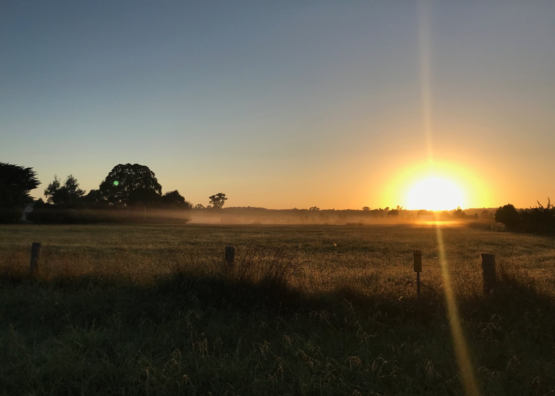
Sunrise over the paddocks just outside Briagolong. Stunning!
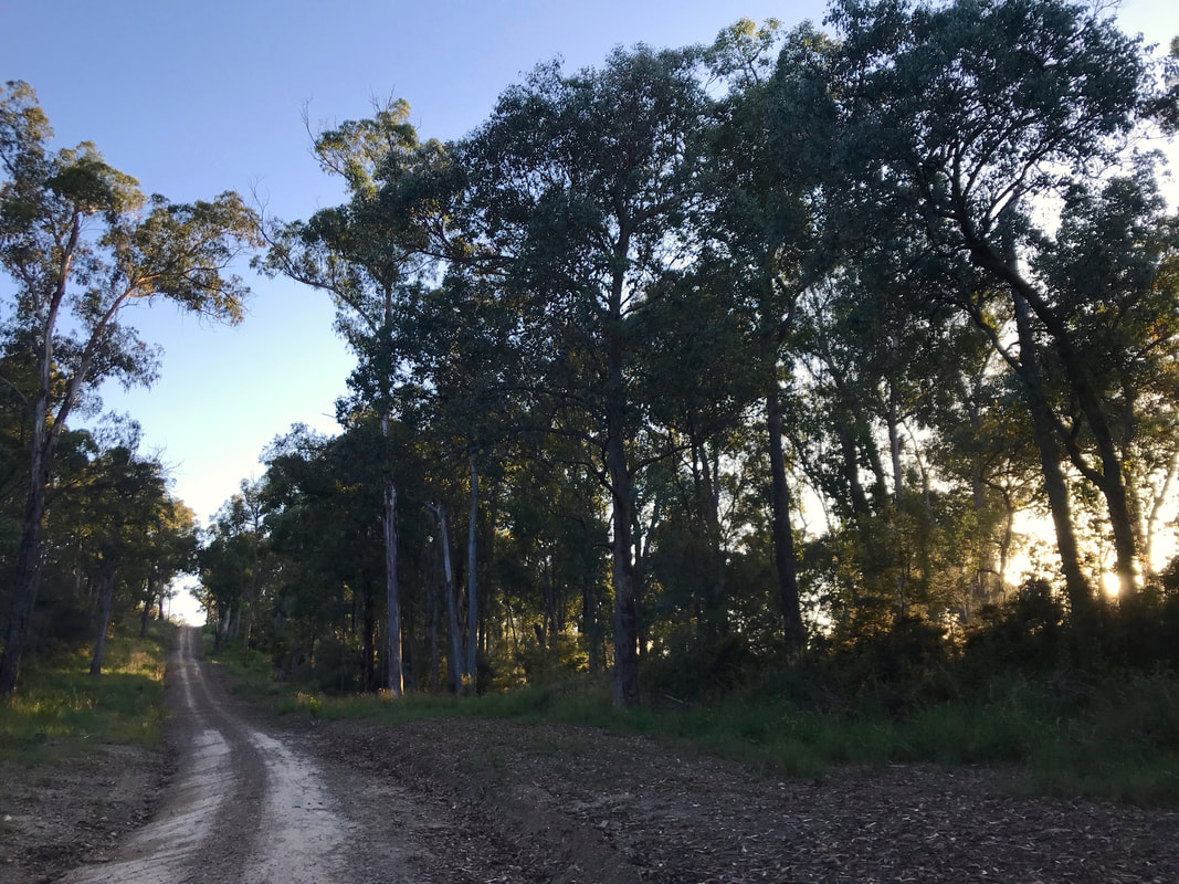
We’ve been for a couple of walks here. A few days before we did a two hour loop with our friend Ross up to the Peregrine Lookout, down to McKinnons Point and back to Blue Pool along the Freestone Creek Walking Track. We started this day’s hike along the walking track, enjoying the quiet valley and the single-file walking. Soon, though, we popped out and onto Froam Road. We’d be following these back roads for the rest of the walk.
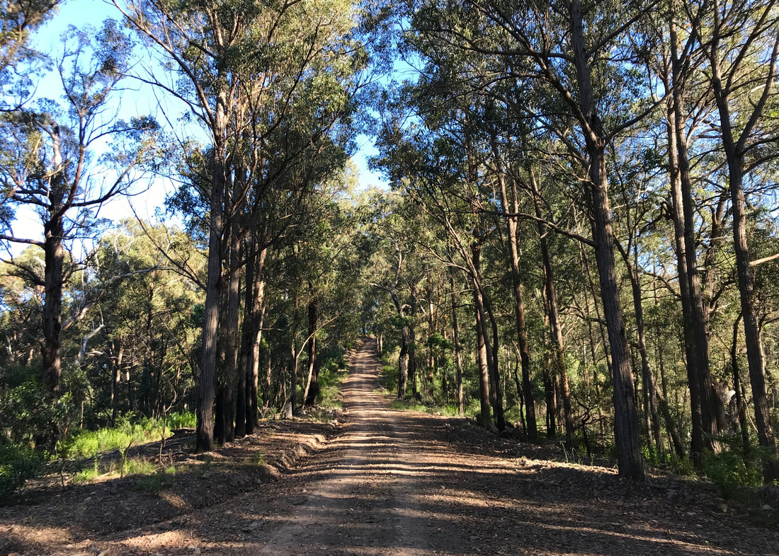
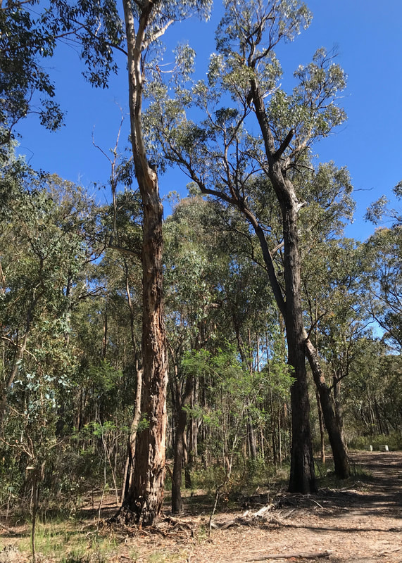
Heading up Froam Road, with the sun shining through the trees.
 There is only one path, but thanks for the directions? | 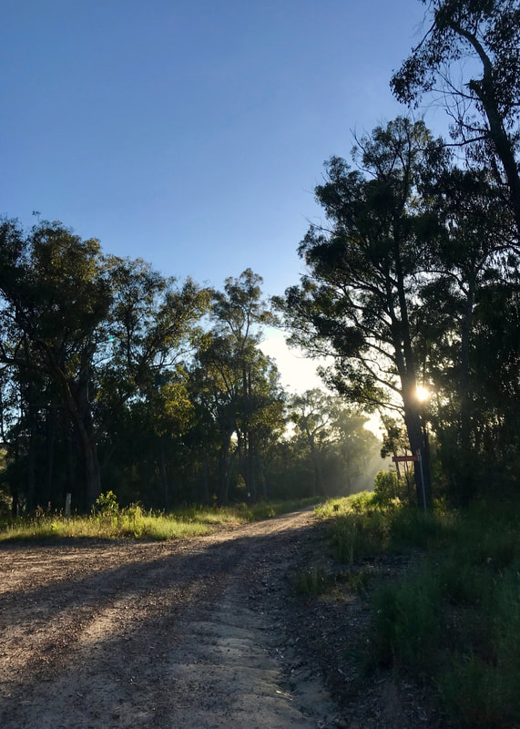 At the turnoff to Bonus Spur Track. |
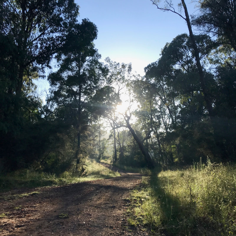
Things started easily enough in the cool morning air, with the sun picking up a slight mist and sending shafts of light through the trees. We turned down Bonus Spur Track, which tipped us back down to creek level before starting the climb up. And up. Our destination, and the main landmark of this walk, was visible at times through the trees: the Mount Moornapa Fire Tower. I guess the key is in the name: “mount” (although Australia will call just about any hill a “mount”). This section nevertheless climbs steadily, ascending about 400m in 3km. Throw in the rising humidity and by the time we reached the top we were drenched in sweat.
 More sun, more shadows. | 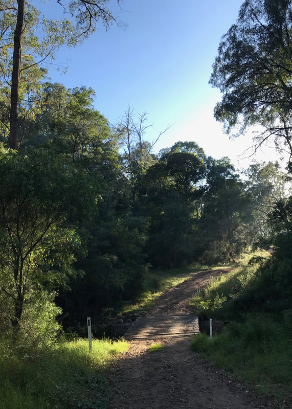 Beautiful, tranquil and cool (for now!) |
 Stopping for a breather. | 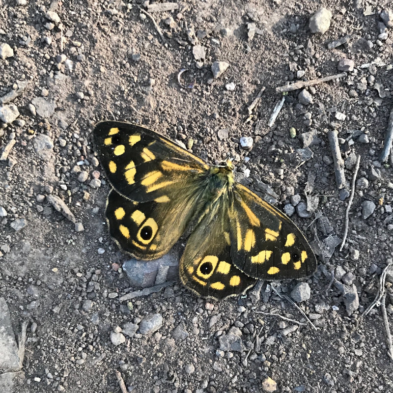 A butterfly. That's all I can tell you. |
We stopped at the fire tower to admire the views of the surrounding hills. We could pick out Ben Crauchan and to the left we figured out Mount Hedrick and maybe Pearson Point. To the north of Old Benjamin, Gable End is pretty unmistakable, and the low angle sunlight helped us pick up the treeless Wellington Plains (Wikipedia currently has Mount Wellington labelled as Beef Wellington!). I sent a photo to Dad - who works up this tower - to ask about the little pimply protrusion to the right of that area and he later let me know it was Cromwell Knob. (I’m sorry that I only have the colonial names for these places.)
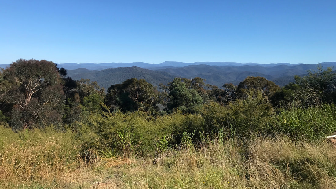
For those playing along at home, Gable End is on the horizon in the centre.
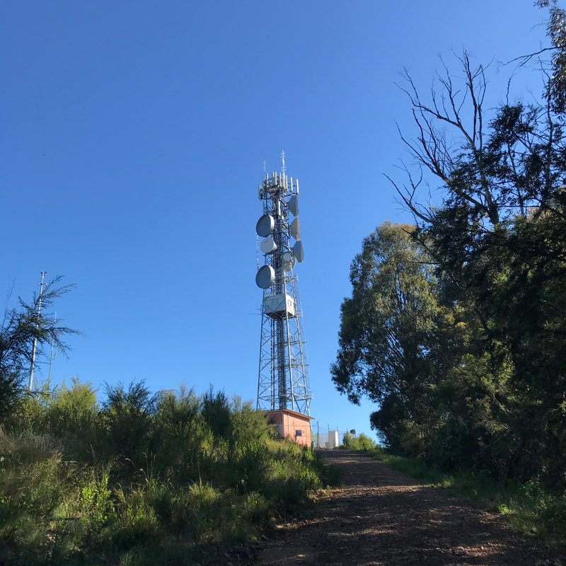 The fire tower (spotter's cabin half way up). | 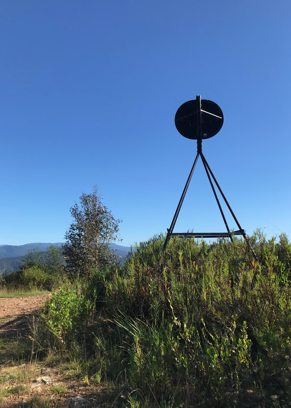 Trig point! They're a bit different here! |
After a snack and a rest in the shade, we set off again. In retrospect, I probably should have checked the distances more thoroughly - I thought the fire tower was just under half way around the loop, but it was only just over a third. We left Ten Mile Track (not ten miles long, as far as I know) for Three Bridges Road (may have more than three bridges). This road gave an occasional wild undulation and made us very glad we had our trekking poles. On this stretch we had our most exciting and amusing encounter - a big old goanna which, on eventually noticing we were there, took off at top speed through the scrubby growth beside the road. Other animals spotted included some lizards, a few black cockatoos (traditionally a sign of rain… and to be fair, it did rain the following day) and many other birds. We also heard a couple of lyrebirds.
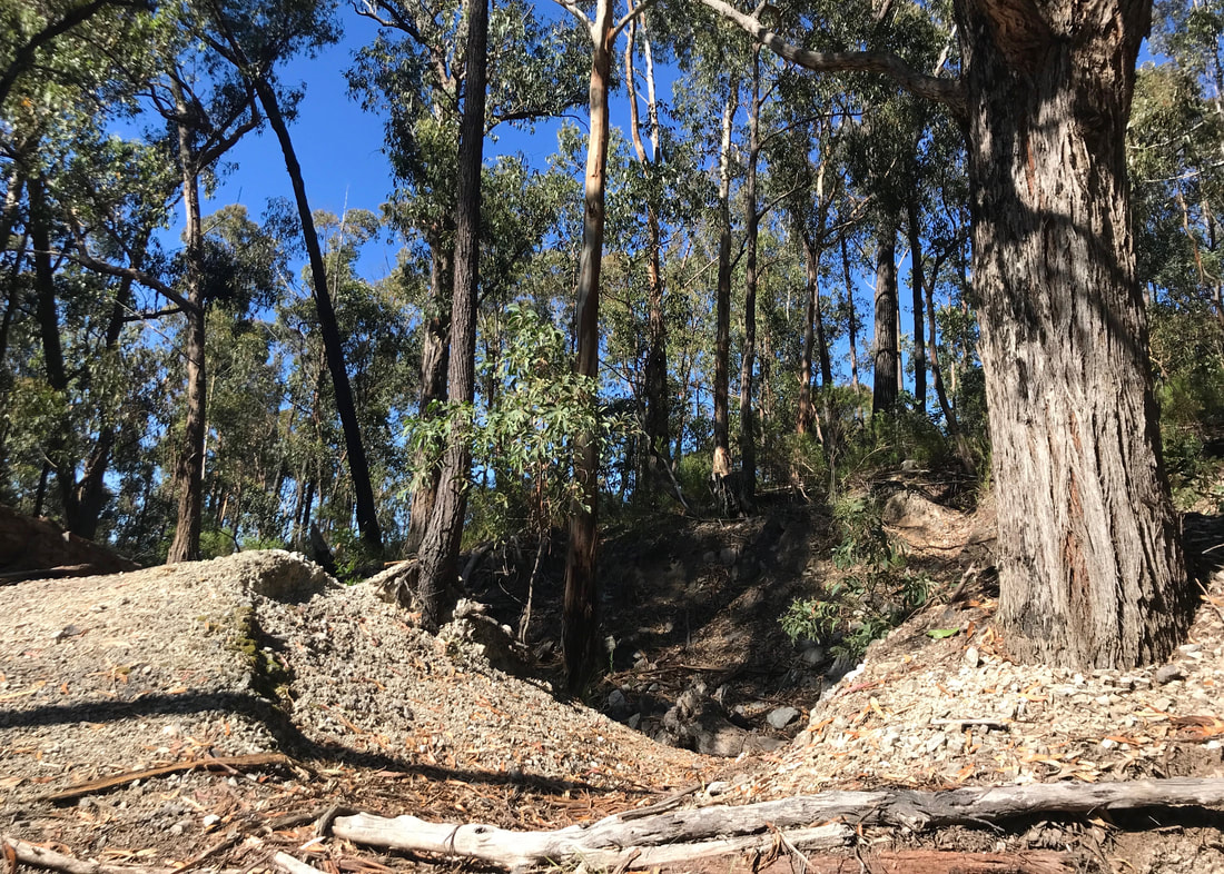
We wondered if these earthworks might have been from an old goldmine, as there used to be lots of prospecting here.
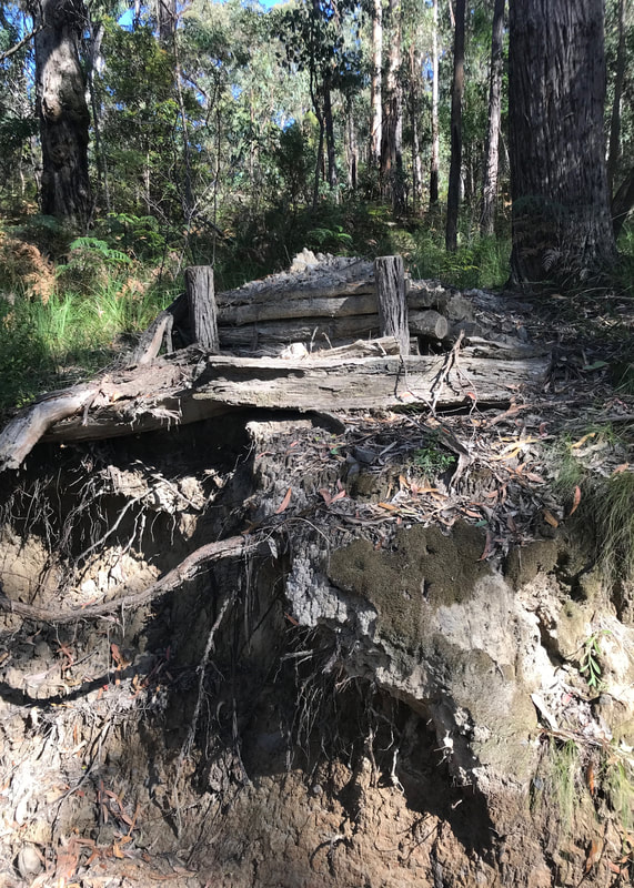 An old logger's ramp, perhaps? |  A cool valley on a hot day. |
The next nice spot to stop came at the bottom of Three Bridges Road, where a little stream was running steadily across a washed-out ford and through a damp and almost rainforest-y gully. This might even have been the same creek we'd crossed earlier on Bonus Spur Track. If we’d been thinking ahead, we would have stopped here a bit longer to cool down. I did take the chance to splash my face and drench my hat in the cold water, though. So good!
Lucky we weren't heading that way!
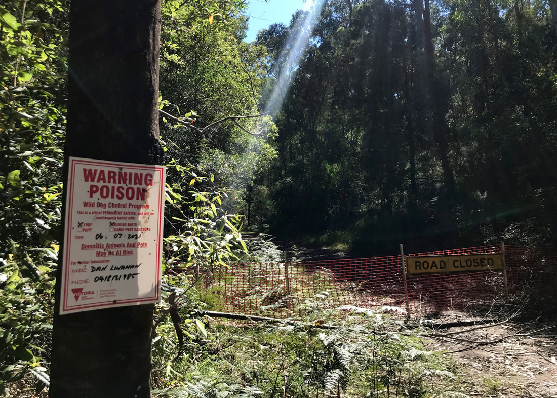
 Can you spot the bee hives? | 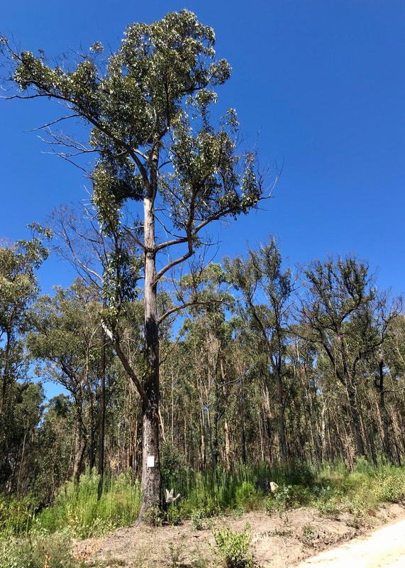 Evidence of burning and another bait notice. |
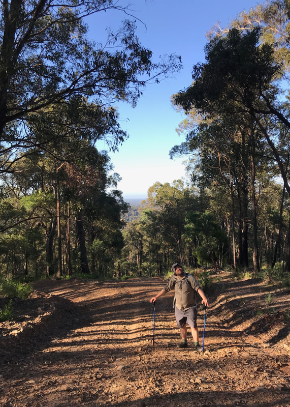
As the sun got higher and hotter, it became impossible to keep any sunscreen on us - it just sweated straight off. There wasn’t a huge amount of shade along some of these roads as there were fires a few years ago and there has been a lot of clearing alongside to create firebreaks. We ate a muesli bar and reminded ourselves to drink water at every intersection. Froam Road (again) to Cooks Road. Cooks Road (last glimpse of the fire tower) to Engine Road. The trees were closer on each side. Engine Road took us down a long spur through dry bush, and we continued down the spur on Hairs Track back to Freestone Creek Road.
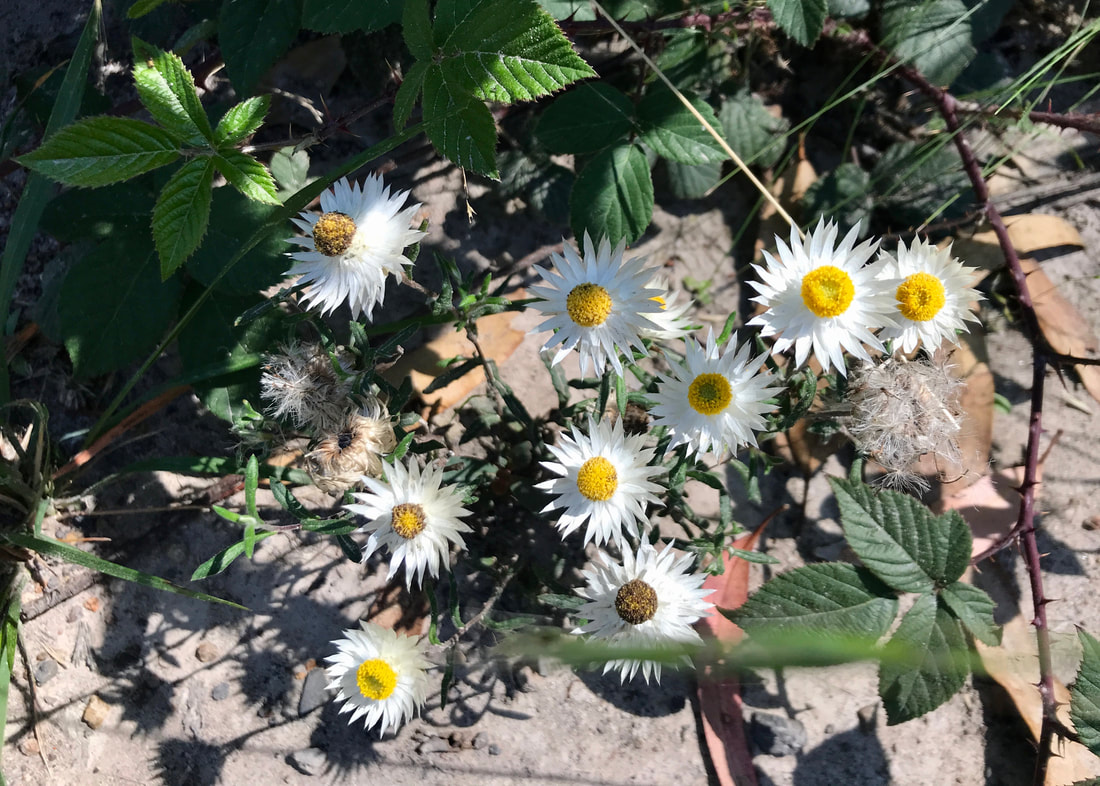
Paper daisies by the roadside... in amongst the blackberry.
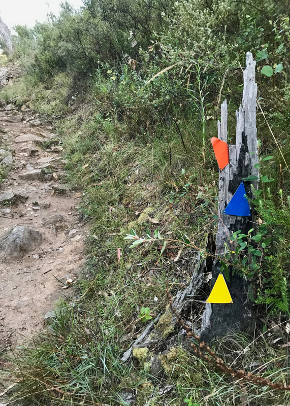
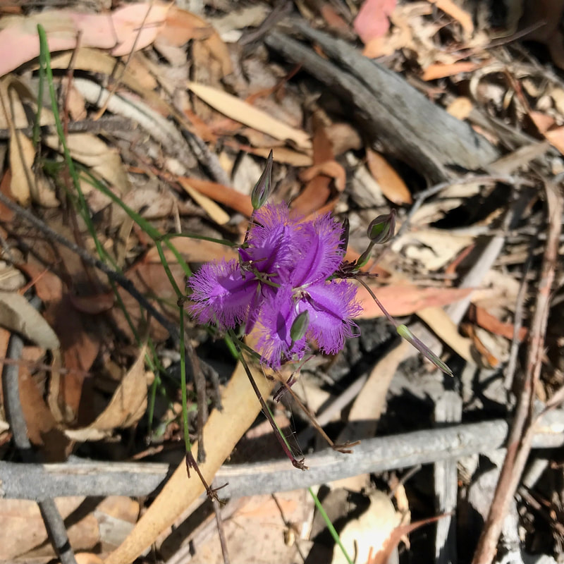 There was just one spot of fringe lilies on the whole walk. | 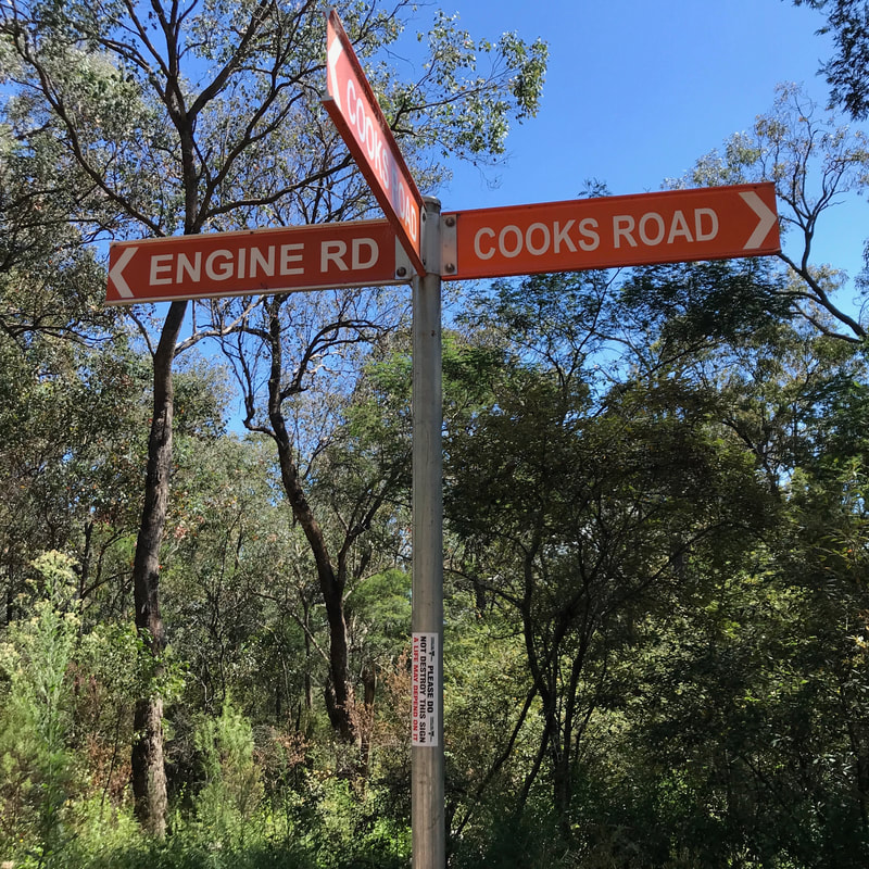 Don't destroy the sign - it could save a life! |
The last hour or so we were simply fantasising about the swim that was awaiting us at Blue Pool. When we hit Freestone Creek Road, a car pulled up alongside us and the first humans we’d seen for the whole walk asked us for directions to Blue Pool - I was pretty happy to inform them the carpark was about 100m away, just around the corner! We stripped off our stinky, sweaty clothes, changed into our swimming gear, gingerly made our way down to the water and jumped in. Oh, it was bliss!
Notes
The walk was about 15.5km, with >650m ascent. Including breaks, it took about 5hrs and 20mins. The main issue for me on this walk was the heat - the hills were big but manageable (with sticks we didn’t even fall over) and the distance was OK (just) for a full morning. If it had been a bit cooler, or overcast, I think we would have done the whole thing in closer to 5 hours. It's good to know that on extremely hilly terrain in hot weather my walking pace is closer to 3km per hour. At the end of the walk, after our swim, I felt like I could easily have walked another 5-10km over the rest of the afternoon if I’d needed to.
Speaking of the swim… what an amazing way to end a walk on a warm day. It was so good to cool down and stretch out the body in a different way. I took the opportunity when we were drying off to give my feet a bit of a rub, too.
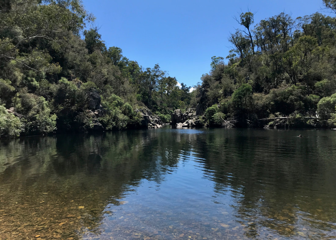
Blue Pool... I guess we'd better go for a swim, then!
The toe blister returned, argh! It was at around the 10-11km mark that I felt it starting up. I hadn’t taped it this time. The next day it didn’t feel too bad, though. In terms of aches and pains, my calves were quite tight (especially the right), but I stretched them during and after the walk and the next morning, and it wasn’t anything I didn’t expect after all that climbing. My knees were fine (thanks, trekking poles) and my feet were pretty good too. Just goes to show that sometimes a long flat walk is harder on the body than a walk with lots of ups and downs.
This will be a great loop to come and do with a full pack later in my training and prep. I just hope it’s a bit cooler!
This walk is on the unceded Country of the Brayakaulung (Gunaikurnai) People. I acknowledge their Elders, knowledge and claim to this area. This always was, and it always will be, Aboriginal land.
 RSS Feed
