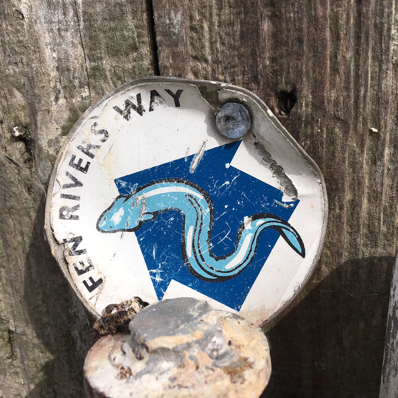
Eels!
|
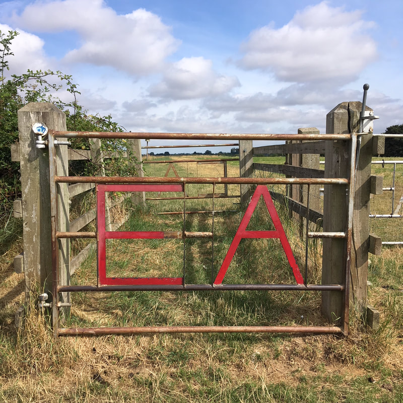
We saw a lamb sneak under this gate.
|
2011
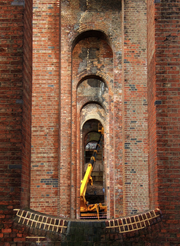
Under the Dollis Brook Viaduct.
|
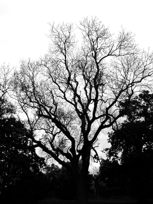
Boundary tree - Middlesex and Hertfordshire.
|
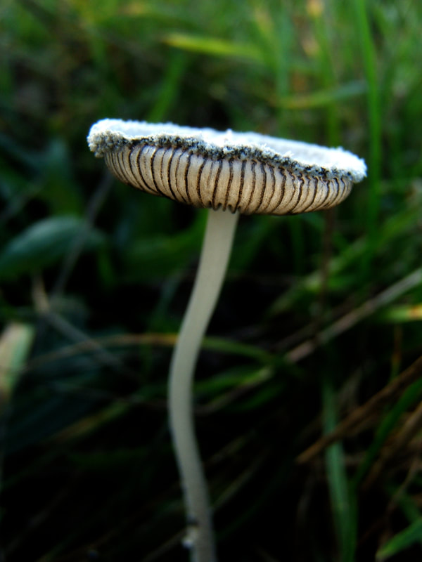
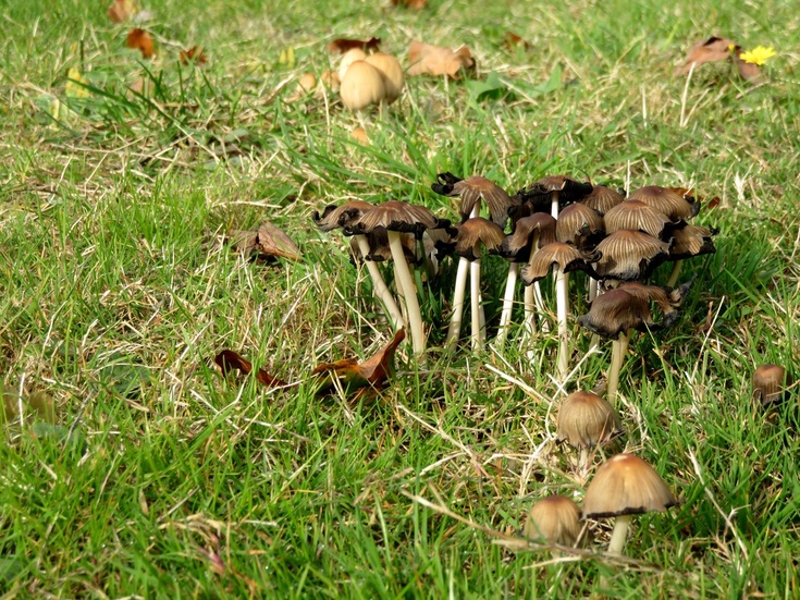
The prettiest toadstool near the M25.
|
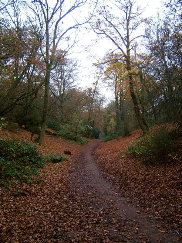
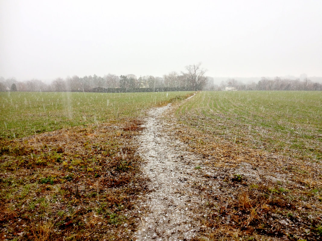
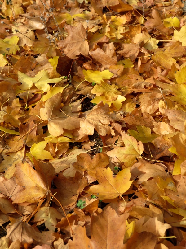
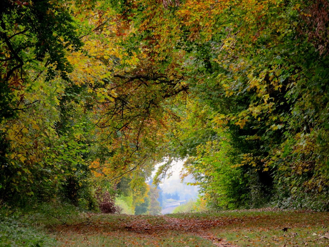
Pretty autumnal path through the woods.
|
I was so young!
|
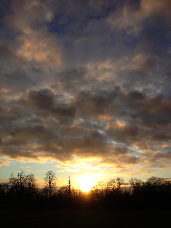
Sunset in Hertfordshire.
|
2015
2016
2017
2018
|
|
|
|


 RSS Feed
