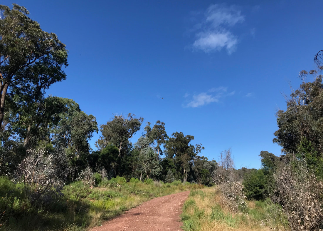
Wandering the dirt bike trails off Stockdale Road.
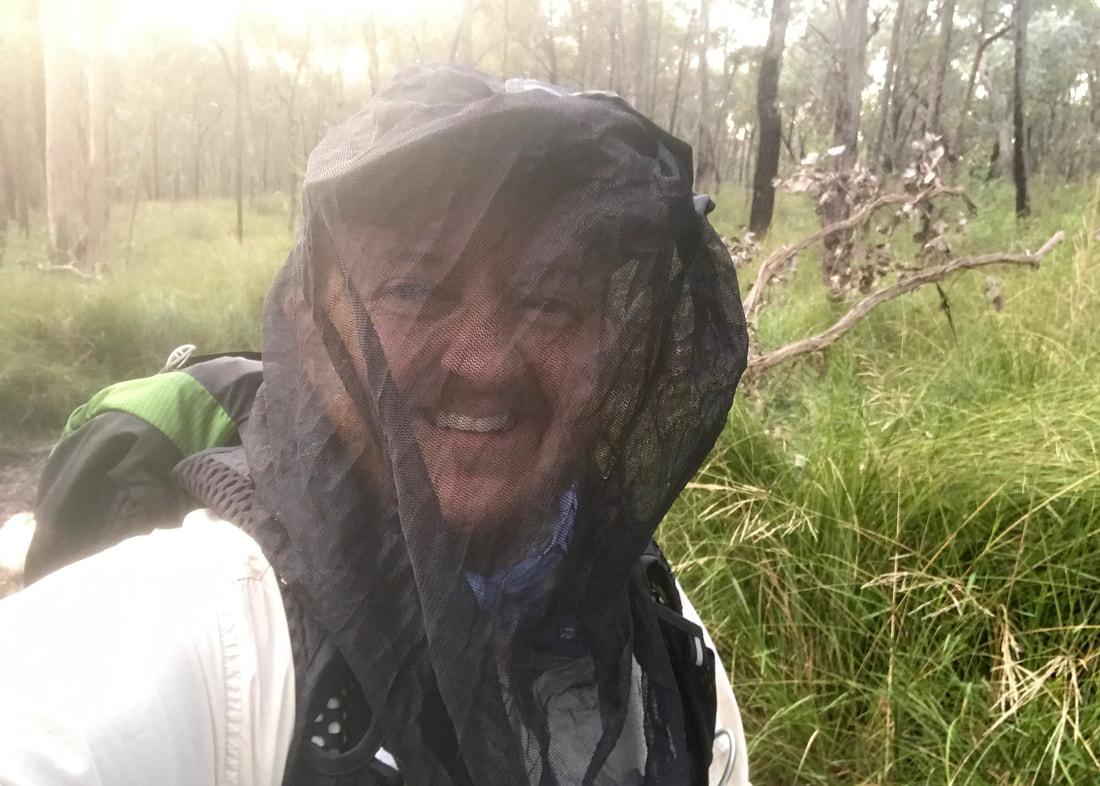
Happy discovery: the head net is good for keeping cobwebs off my face, too.
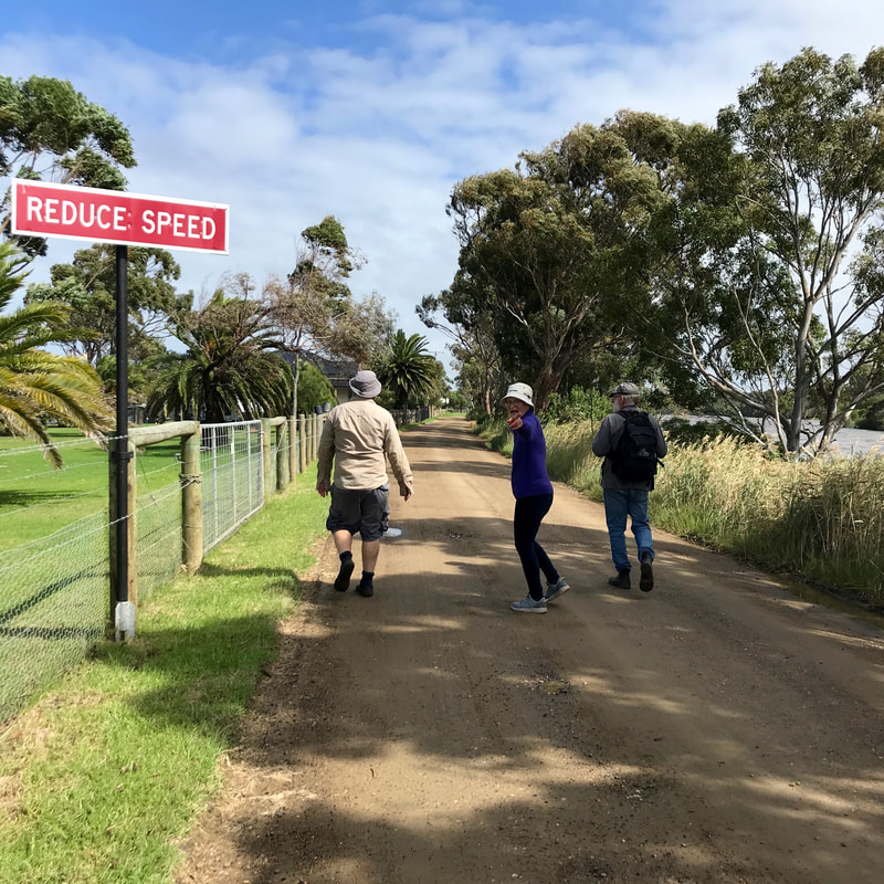
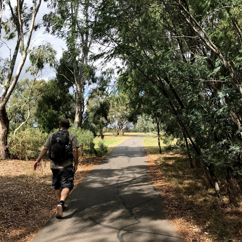
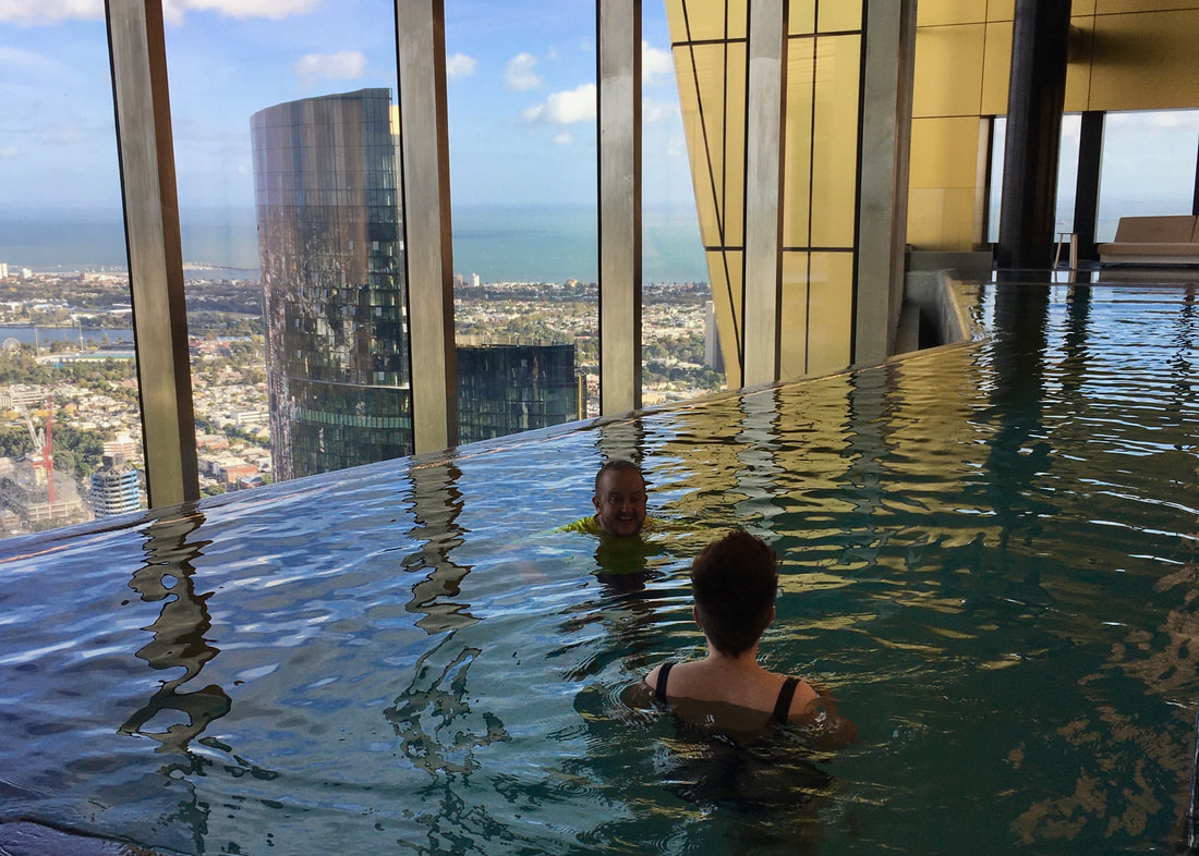
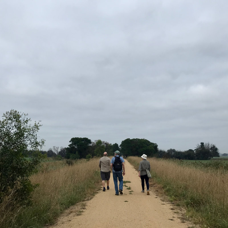
I hadn’t managed to get out for over a week, and was not likely to be able to do a bigger hike over the Easter long weekend, so I got Dan to drive me out early one day for a quick 10km walk before my sister and her partner arrived on the morning train.
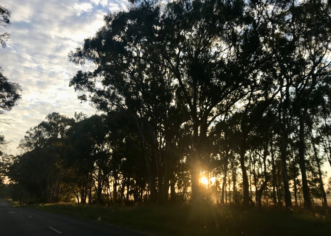
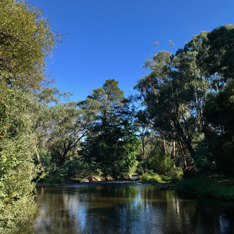
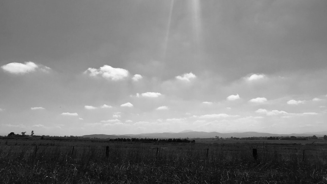
Sunrise snapped from the car as we headed through farmland and into the bush.
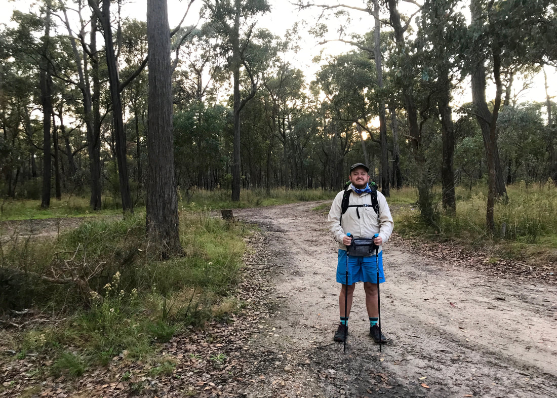
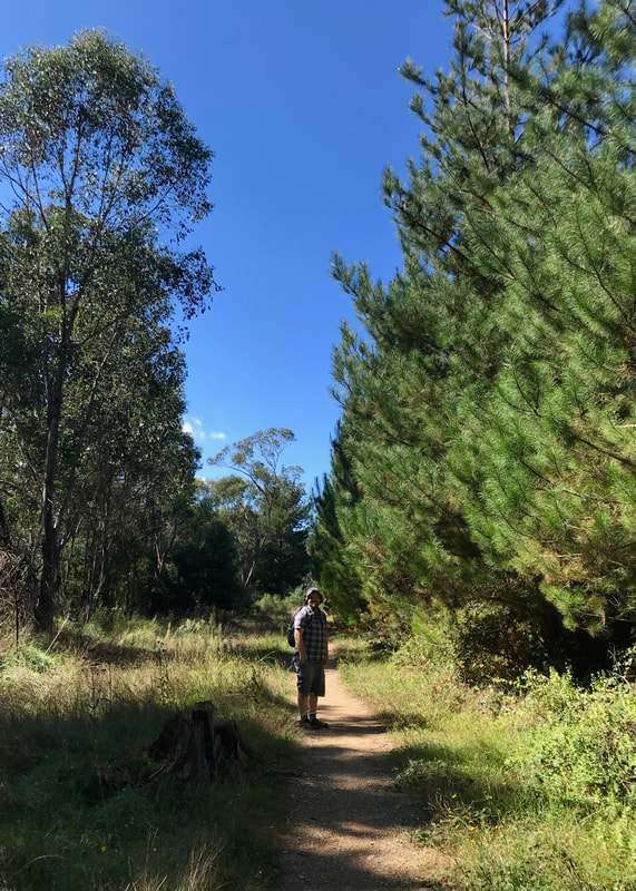
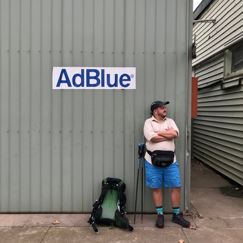
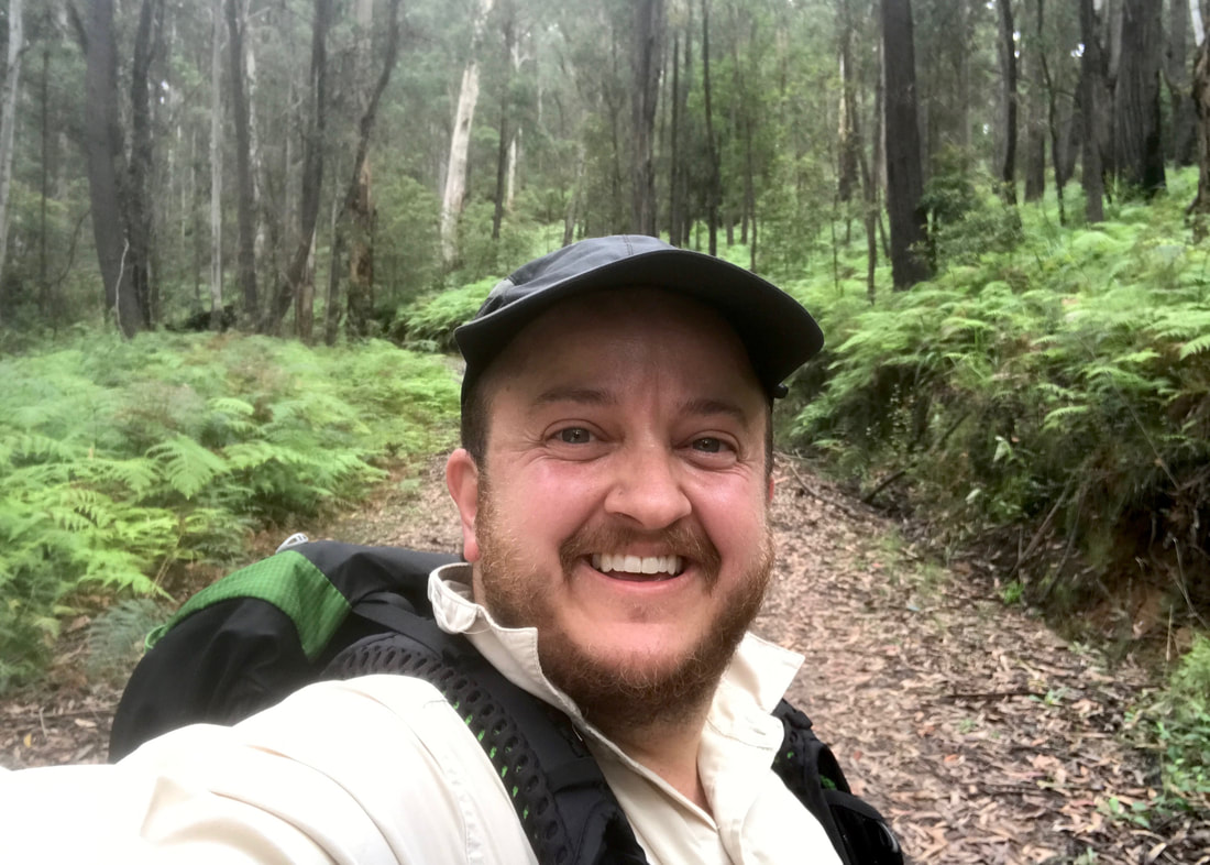
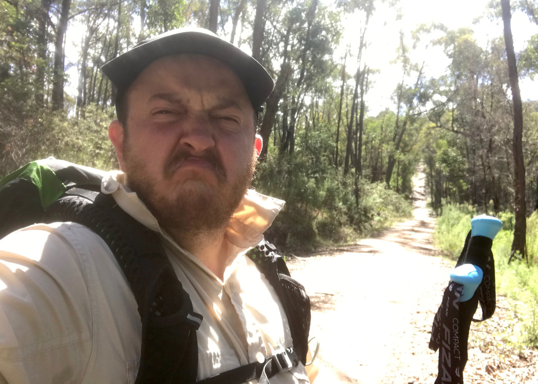
About to head off, with my kinda matching blue highlights - including a new Canteen bandana.
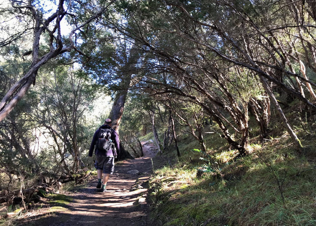
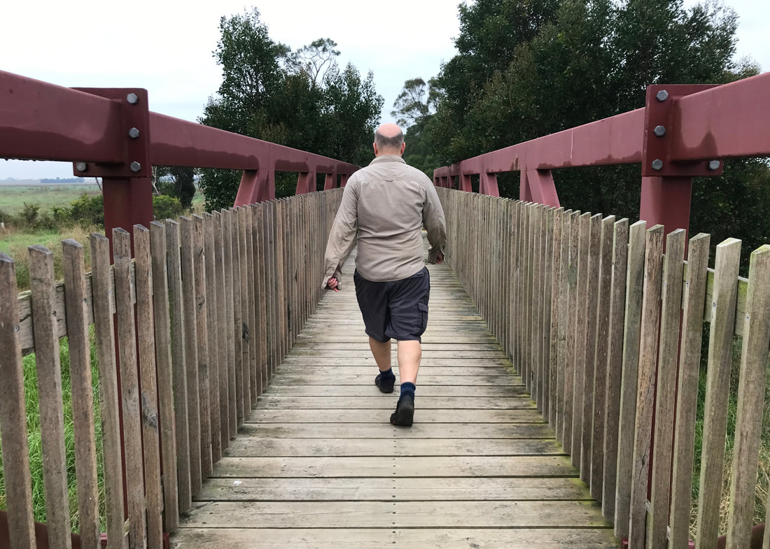
Saying goodbye to Dan, I went a few steps down a dirt road before plunging into the bush on a narrow but recently used dirt bike path. I’d seen these paths marked on the topo map in Gaia and had wondered if they would be good for walking. This seemed like an ideal time to find out - no big rush, not a very long walk, and a lift out only a phone call away if I needed it. Turns out, the path is pretty good for walking. Maybe a bit narrow through the long grasses, dogwood and bracken at points, a little eroded up by bikes in places, and perhaps slightly wetter in the valleys than would be ideal, but still nice.
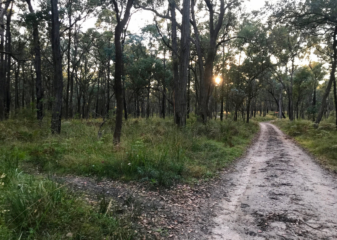
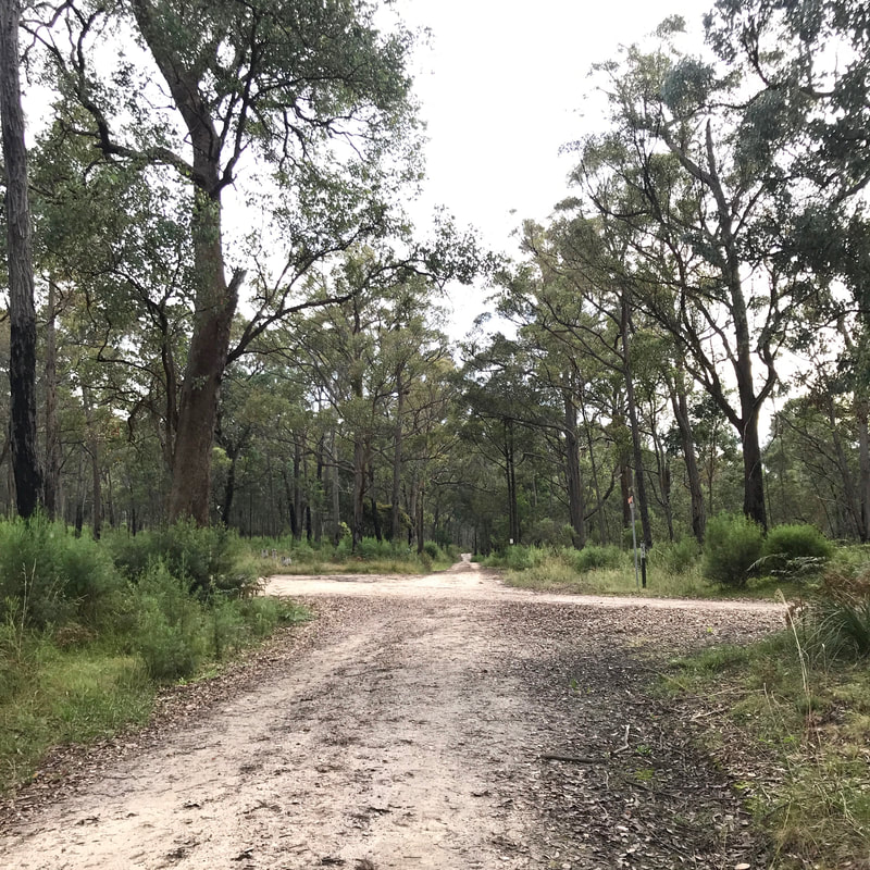
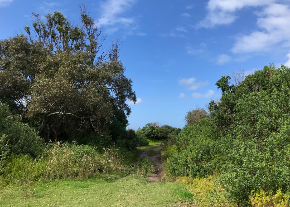
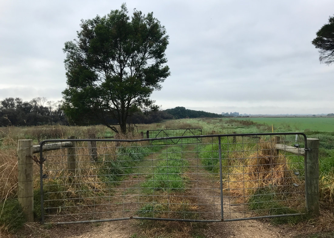
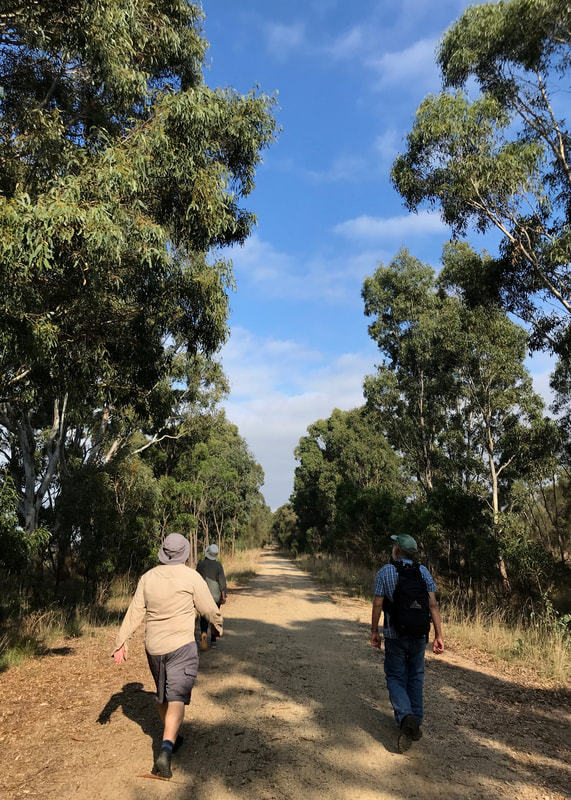
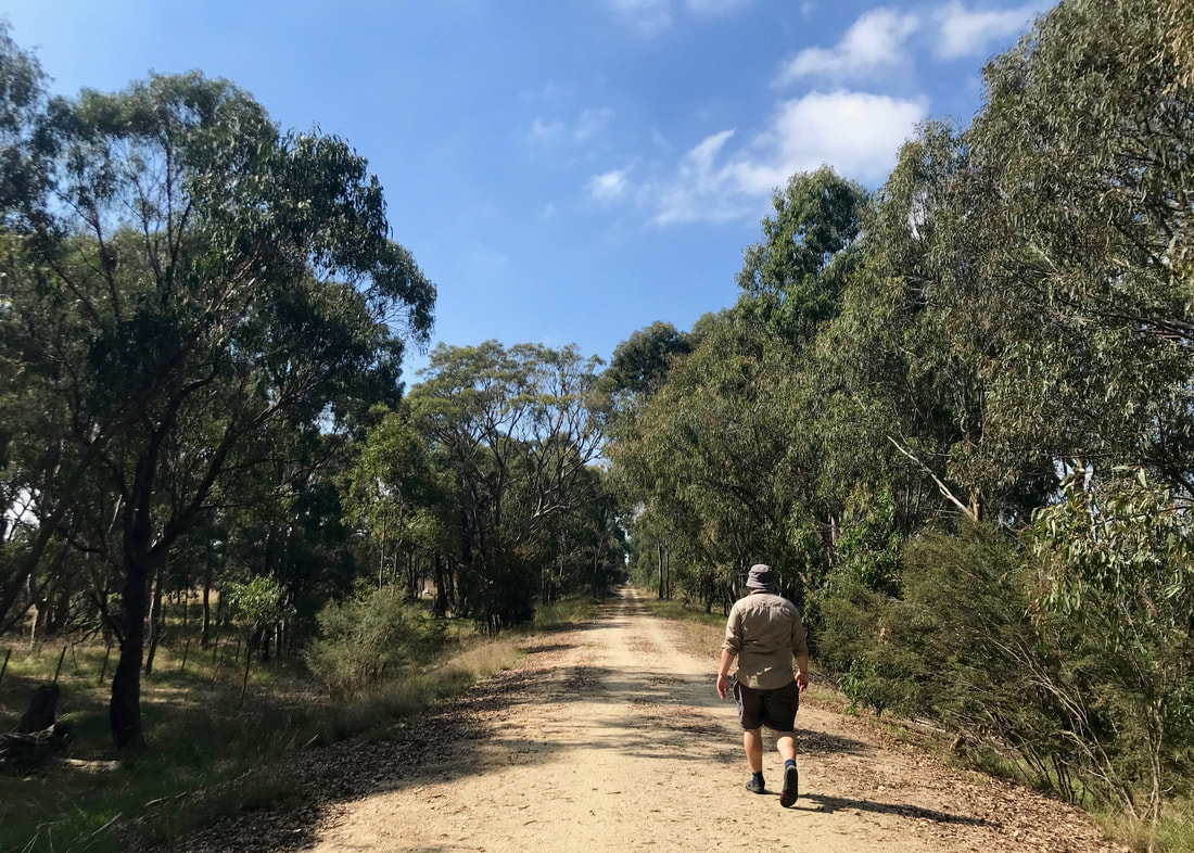
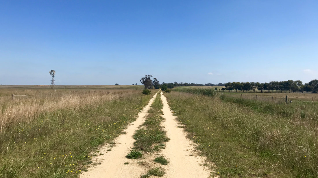
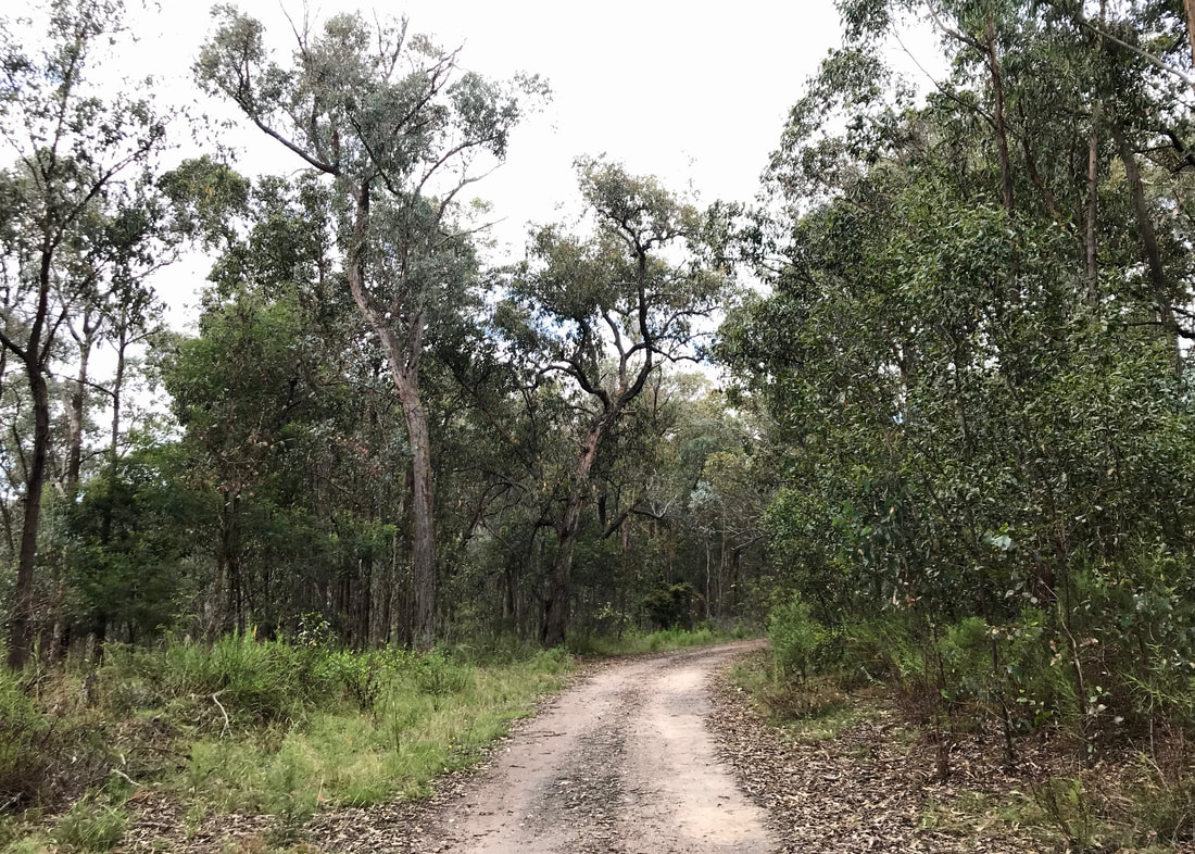
The track to the left is where we'll be heading...
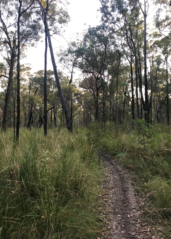 Clear signs of recent use. | 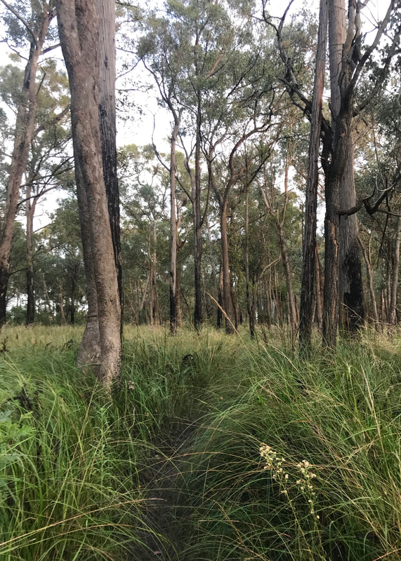 But the grass still crowds in on the path. |
It was slow going, though. Unlike road walking, this was the kind of path where I had to pay attention to where I was putting my feet - I spent a lot of time looking down. There were also a lot of spiderwebs. I had the genius idea of donning my head net (which is for flies, but I never seem to have it on fly-filled walks) to keep them off my face. That worked quite well, but it slightly obstructed my view so it actually increased my chances of walking into webs in the first place. Oh well, you win some, you lose some. It did also make my head a little bit hot, being an extra layer on top of my hat.
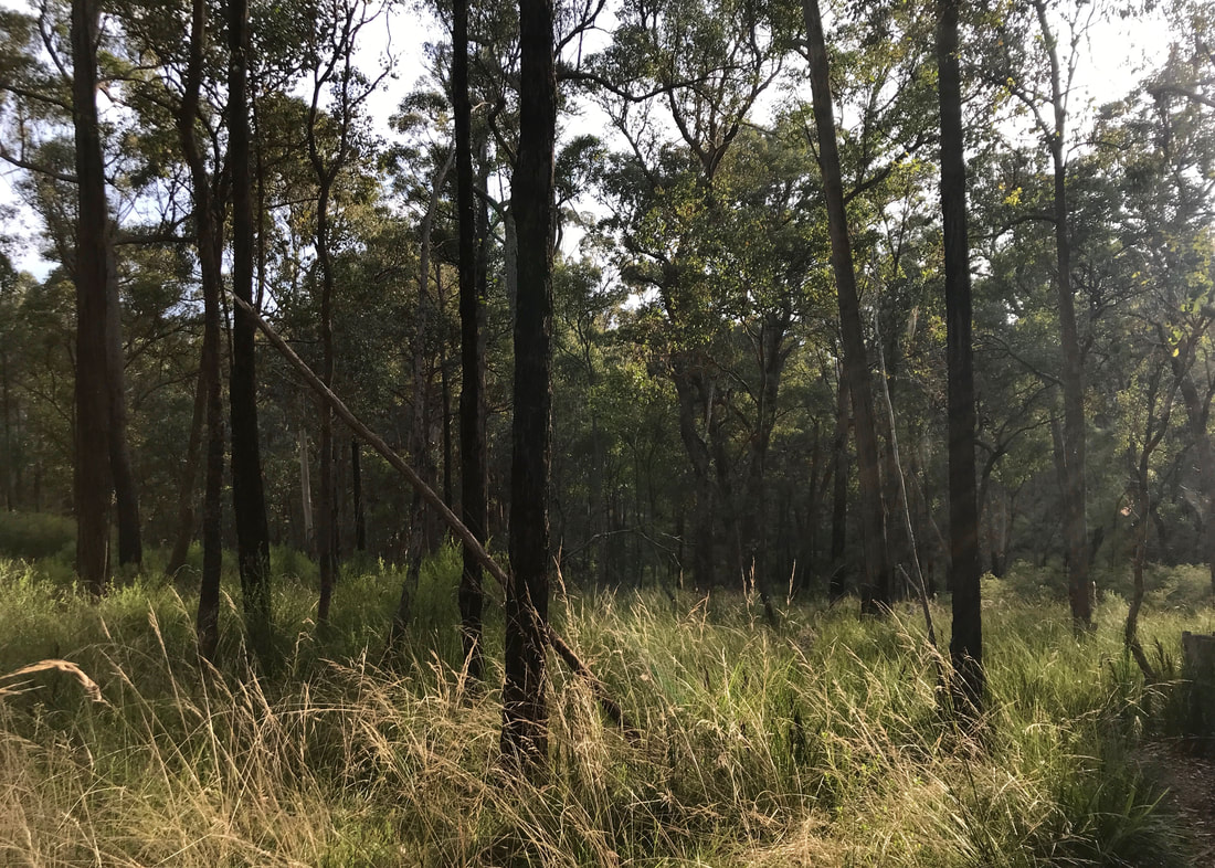
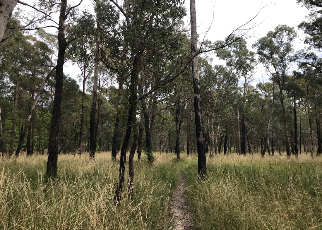
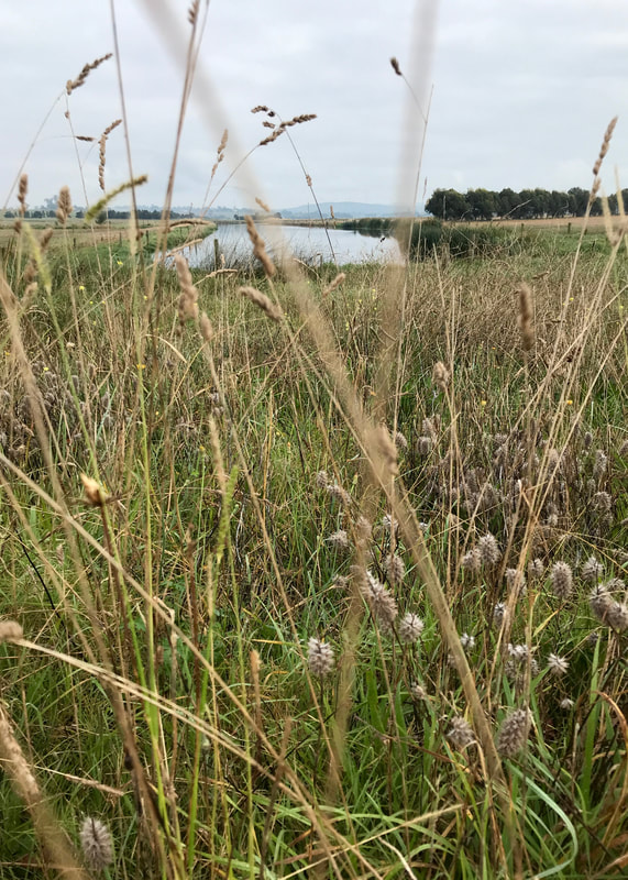
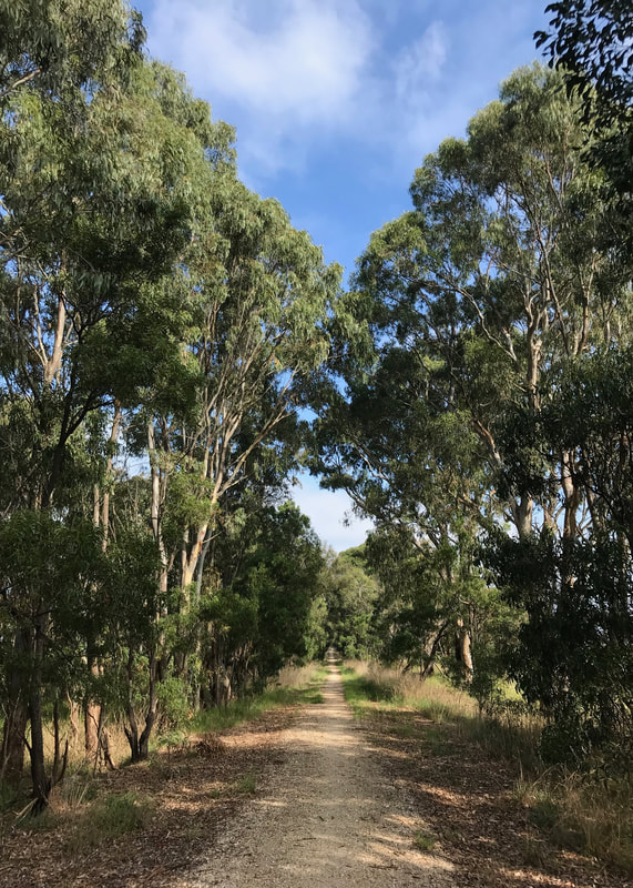
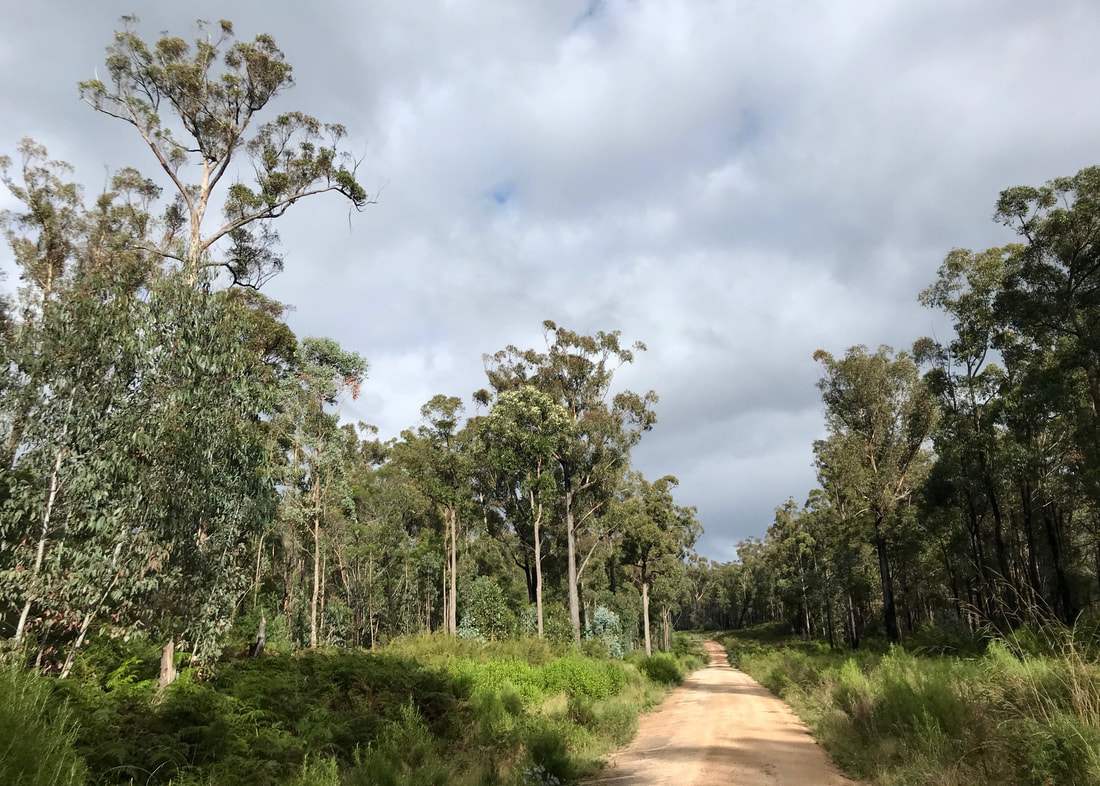
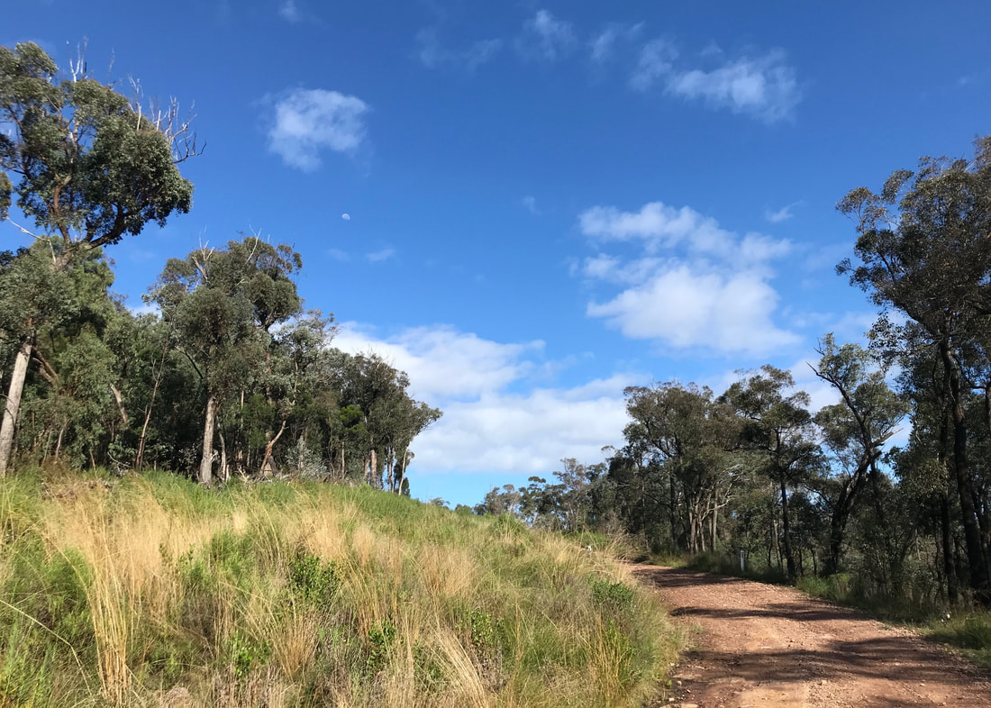
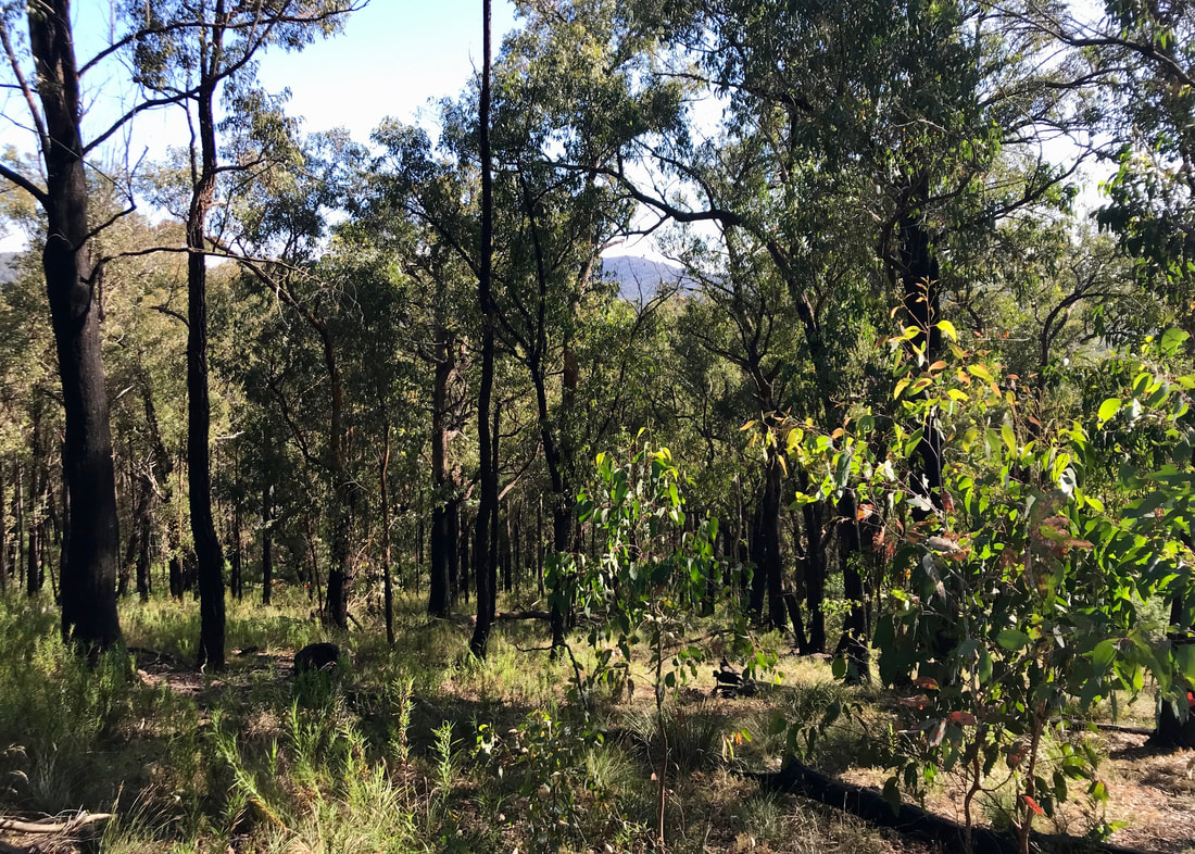
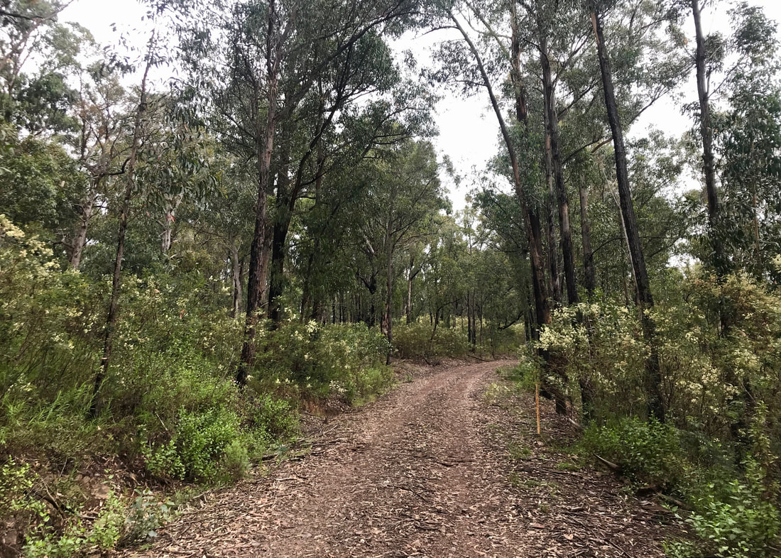
A nice patch with shorter grass, giving a good view of the track and the surrounding open forest.
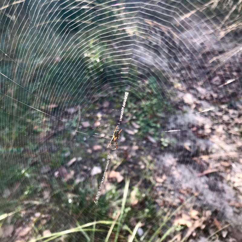 New web with cool 'zipper' feature. Sadly, I had to break it to get through. | 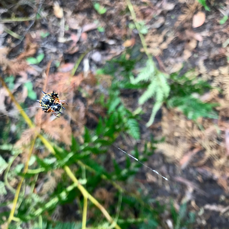 A jewel spider - reminded me of our first walk of the year! |
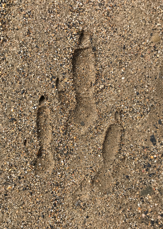
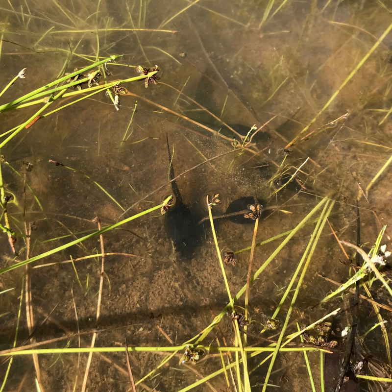
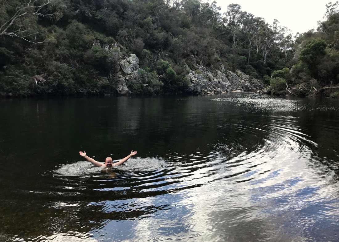
It had been cool overnight, but it hovered around the mid-high teens for most of my walk. The bush was fairly quiet, but I did see and/or hear cockies, rosellas, noisy miners, shrike thrushes and butcherbirds. I disturbed several wallabies (or one unfortunate wallaby several times), but I only caught a glimpse of one tail disappearing - the rest of the time it was just the thuds of them jumping away. I started slightly dreading the sound of frogs, though, especially if I was going downhill - it usually meant there was a bit of a swamp over the path and I’d need to pick my way to the other side. I managed to only get slightly damp feet for most of the walk - but about half an hour from the end I encountered some water I couldn’t get around. I splashed on and gave my boring new Altras their first dirty bath!
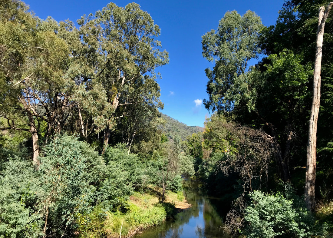
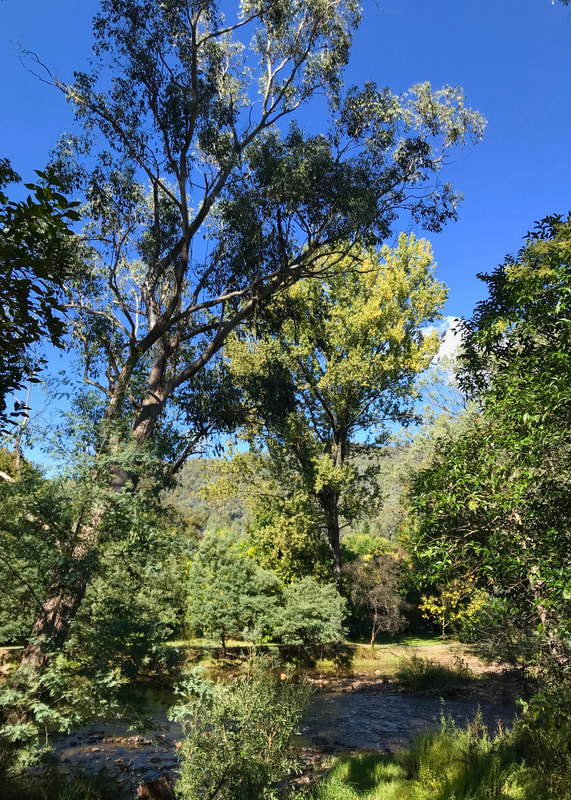
Morning sunshine streaming through the trees and lighting up the long grass.
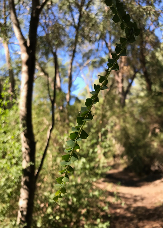
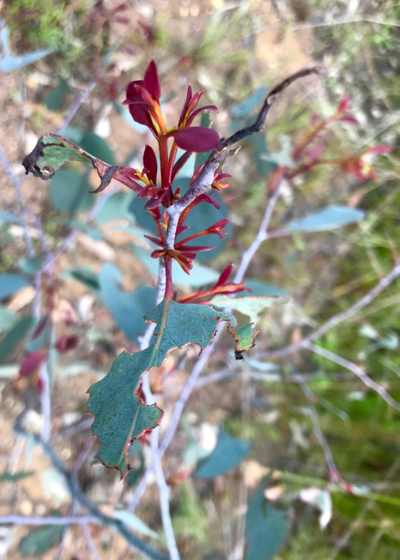
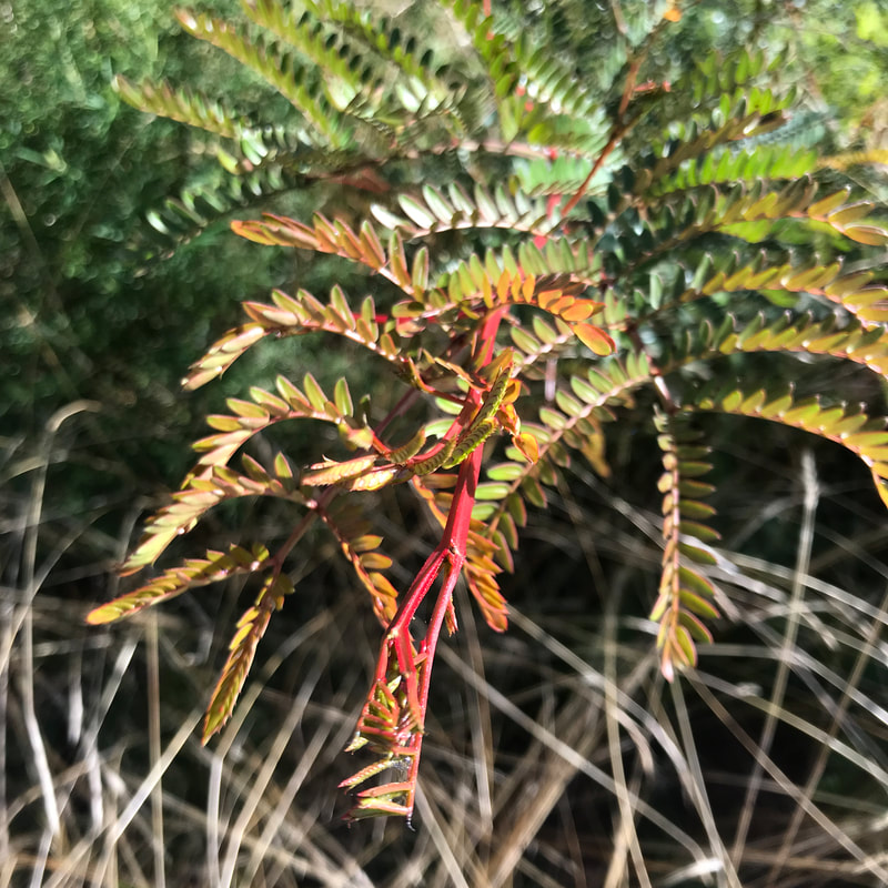
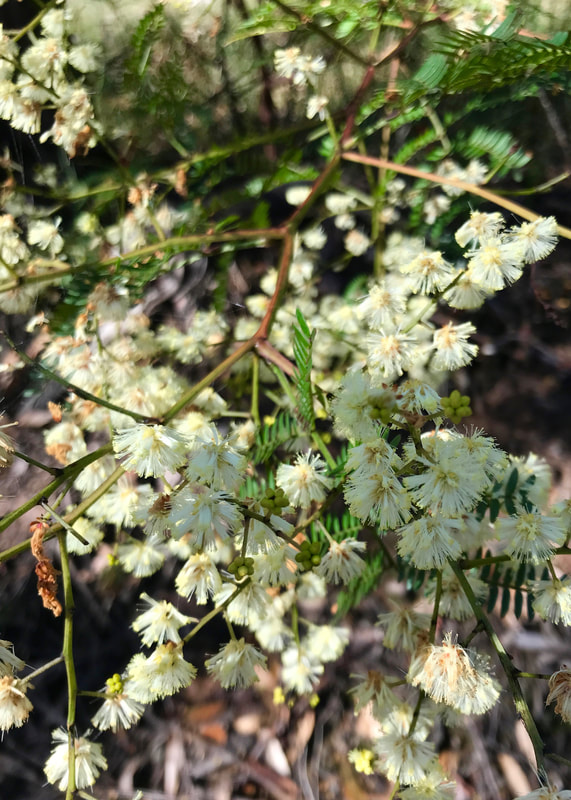
 These little cups looked like they were catching sunshine. | 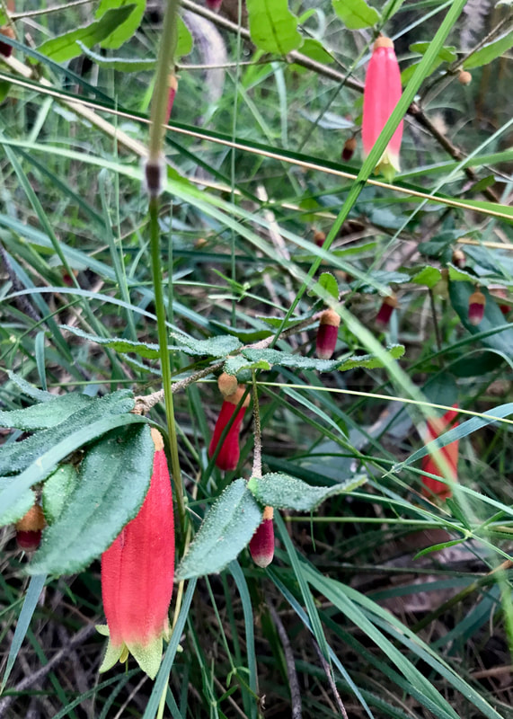 There were lots of correas out in this area. |
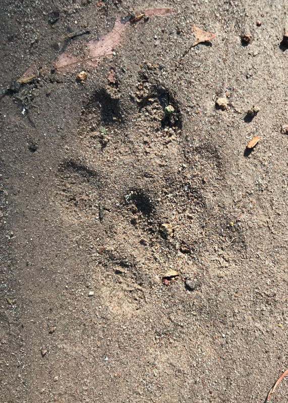
I passed two pairs of people on this walk, out collecting firewood. (So, when they were chopping wood, the bush was in fact not very quiet at all.) Other than that, I only saw the cars on the Stockdale Road - and there were a lot of them heading off with their camping trailers for the long weekend! A bike or two had been through in the last couple of days, and there were lots of horse shoe prints on some of the roads, so the area is definitely well used.
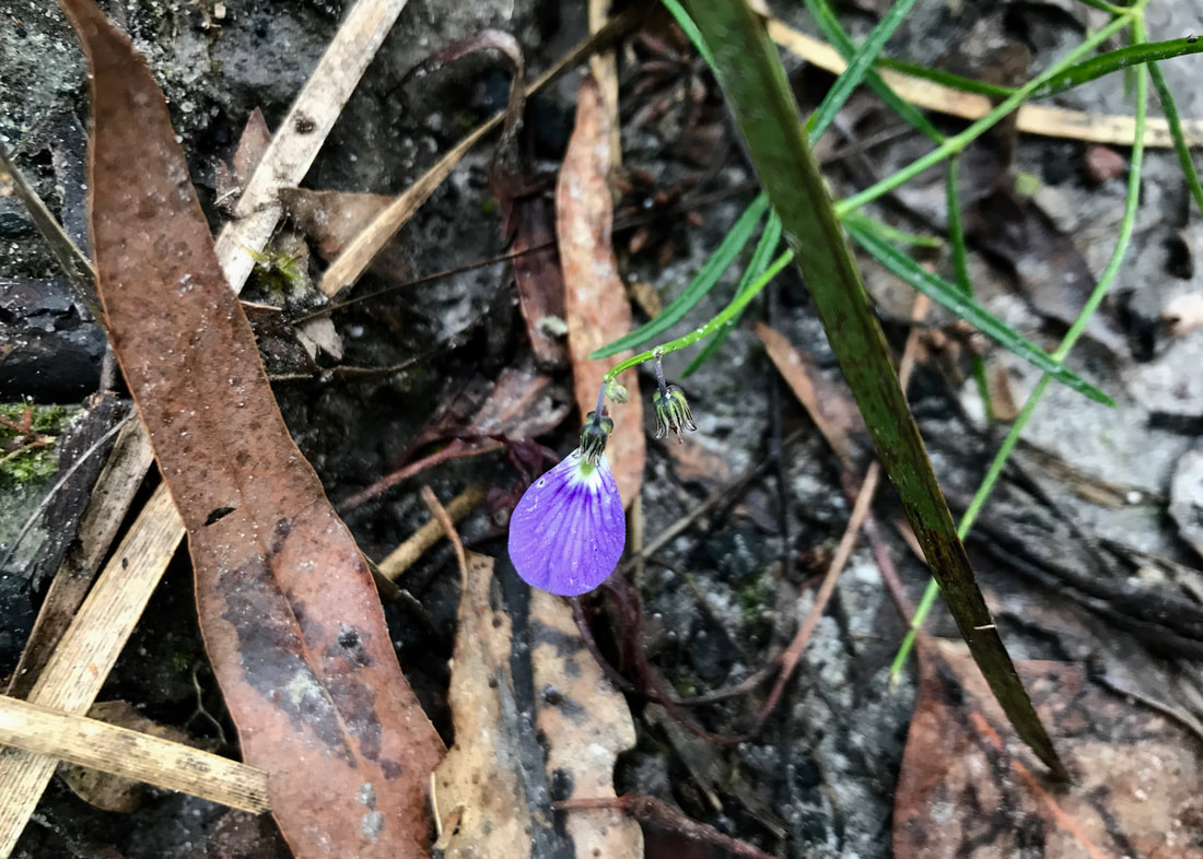
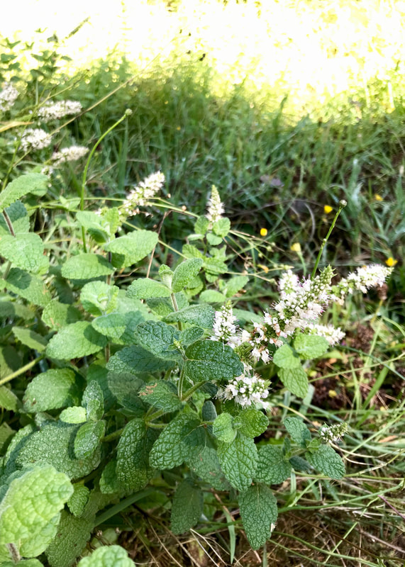
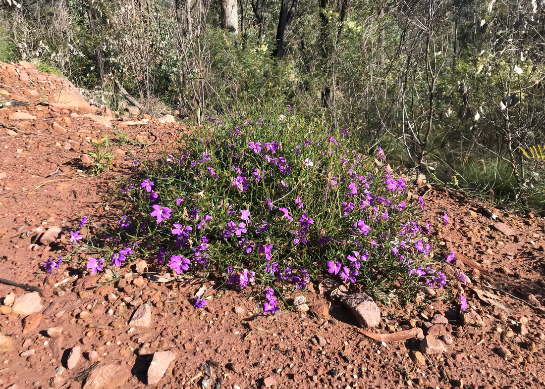
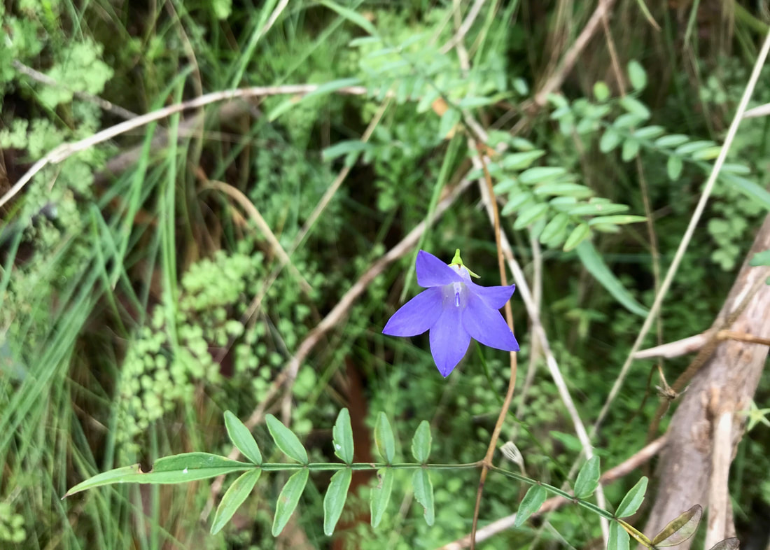
I'm not sure what these purple flowers are. They seem to have one petal? I need to look more closely.
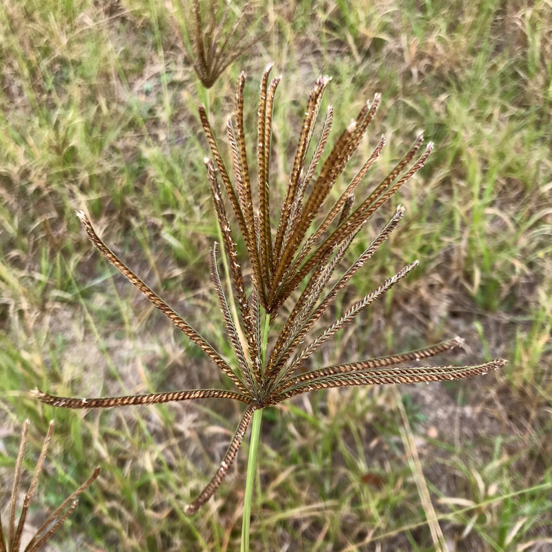
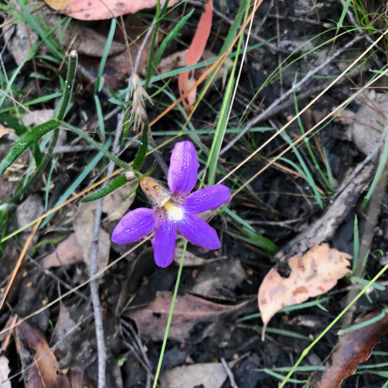 Another unknown purple flower. | 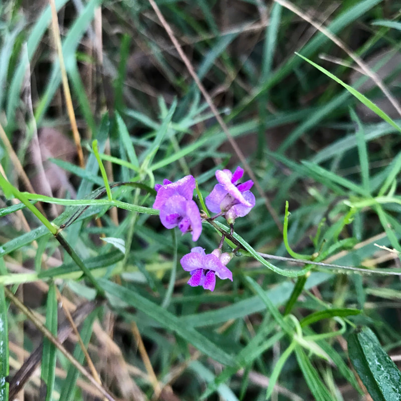 Purple flowers again - some kind of native pea? |
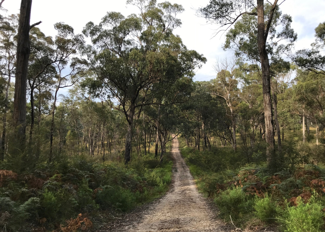
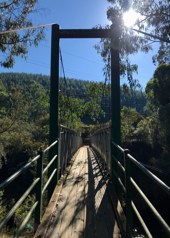
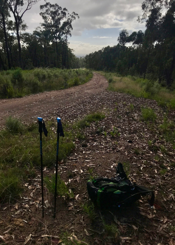
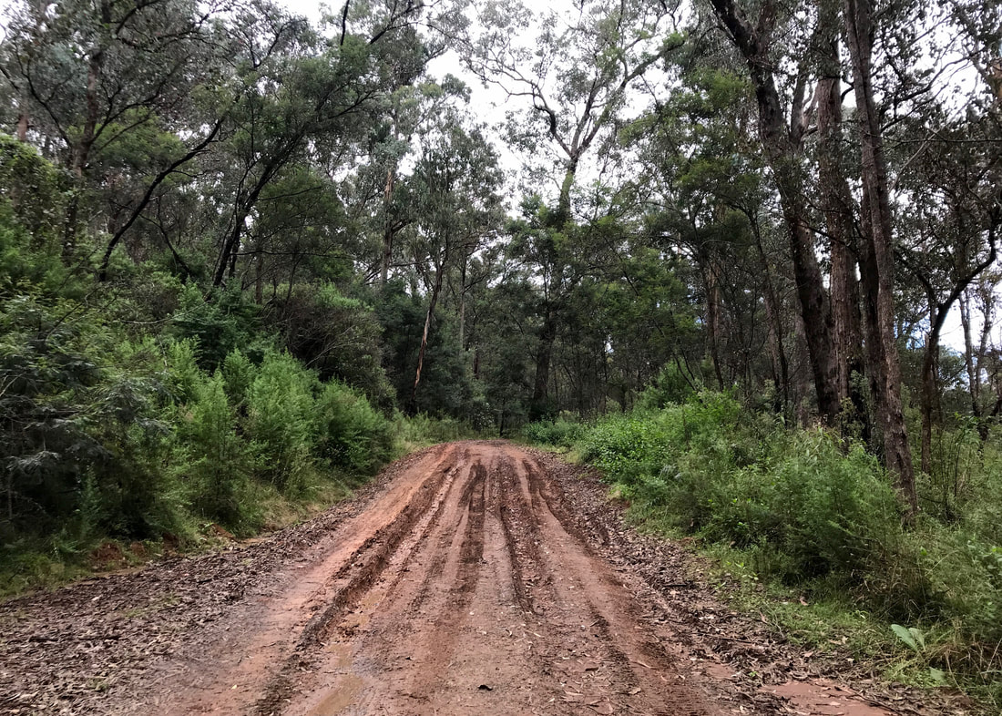
Because it was a bit slow on the single track, I decided to knock out a few quick ks on the roads. It was amazing how much more quickly I progressed! I let Dan know to pick me up half an hour later than arranged, and then, because I had more time, I did a few more footpath/dirt bike track detours! Towards the end of the walk, I met the edge of the HVP pine plantation, then jumped back into the bush to follow the bike track back to our meeting place.
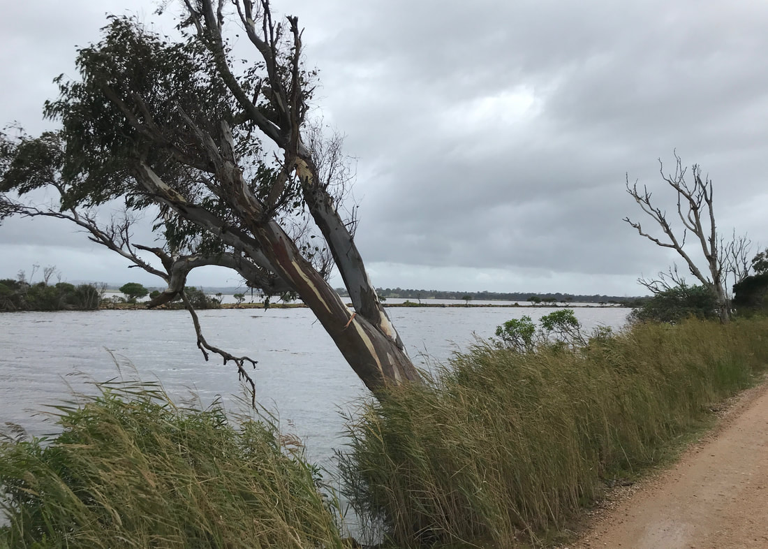
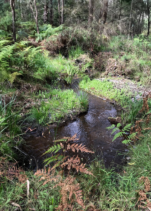
This was the first wet area that made me doubt I'd get through, but I managed to pick my way through the middle to the larger tree without too much trouble.
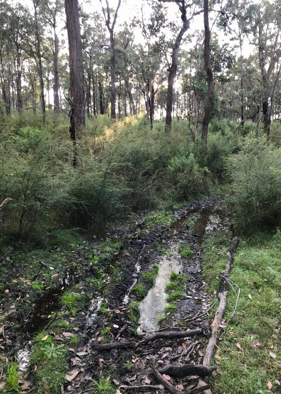 An earlier damp section. Easy peasy! | 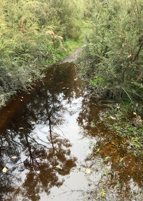 This one got me! Can't go over it, can't go under it... | 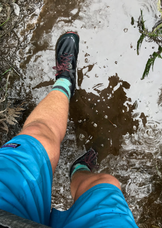 ... can't go around it. Have to go through it! |
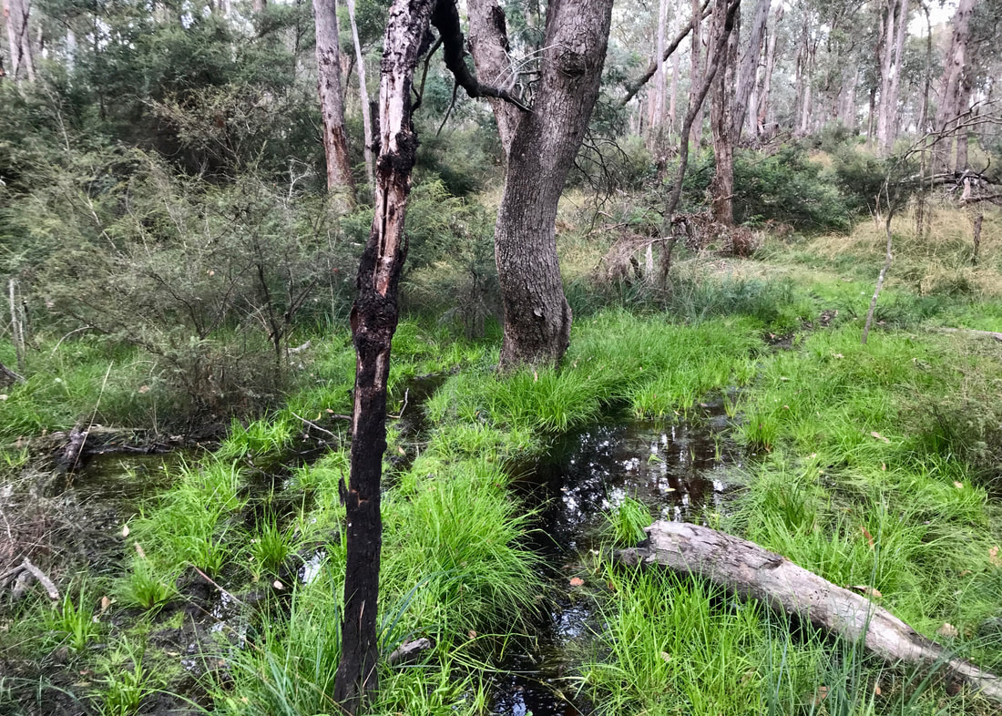
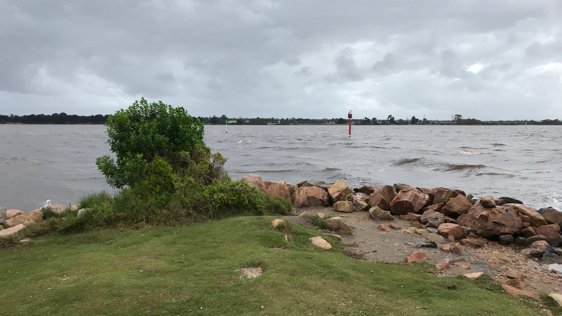
This was a pretty nice spot to come for a walk if you don’t mind getting your feet wet. I’d probably advise leg coverings, too, unless you (like me) don’t mind getting your shins a bit scratched up.
Now if that isn't a road that looks like it need walking... (But I just crossed over it back onto more bike track!)
Notes
Although this was only 10km, it felt a little bit more like training than my last three 10km walks. I think that’s because (a) I was alone, (b) the path required a bit more concentration and energy, (c) I was carrying a pack (even if it wasn’t that heavy) and (d) it was a bit more adventurous with route finding.
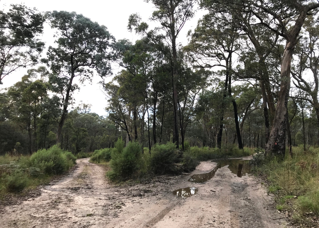
Guess which way I have to go? Of course, the one with the giant puddle! (It was fine.)
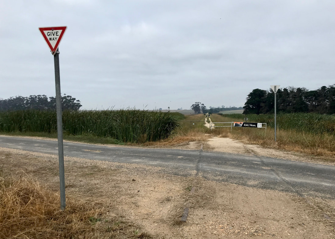
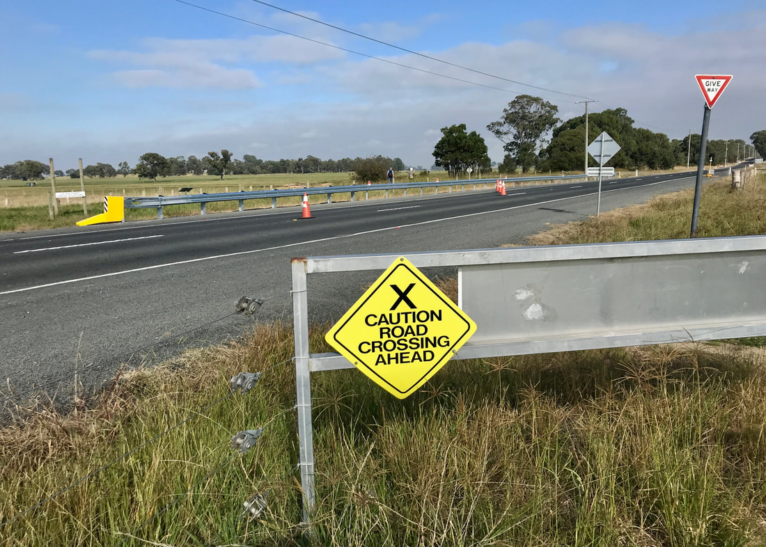
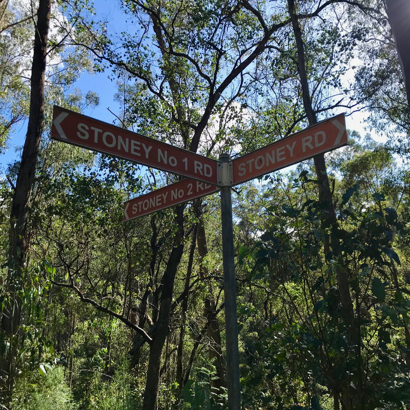
 As I walked up, I started singing, "I went down to the crossroads, fell down on my knees"... | 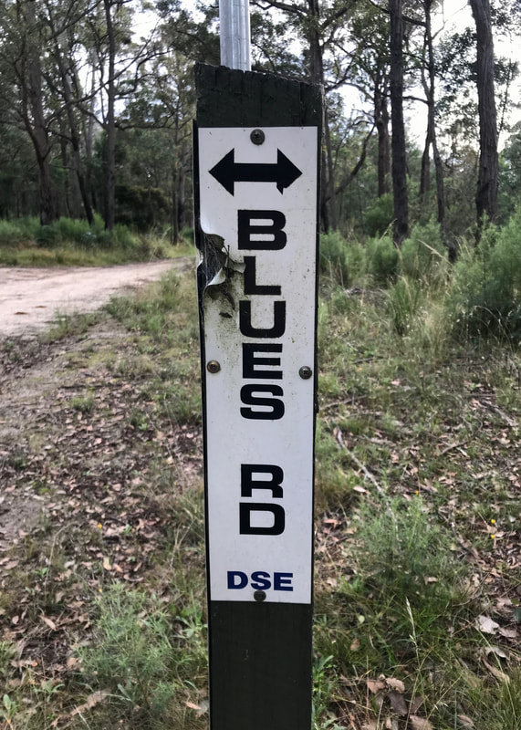 ... and was amused to find I was crossing Blues Road. Apt! |
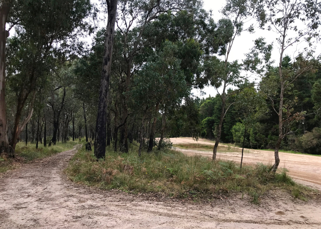
On the left, the bush and a bush track; on the right, the plantation and the management road/firebreak.
My right foot was a bit sore in the arch, and I almost got that annoying blister under my toe. I think that’s because my feet were damp for a lot of the walk and wet for the last section. But otherwise my shoes felt fine - or at least, any issues within the shoe were outdone by the terrain!
Decided to go for another detour, because why not, that's why.
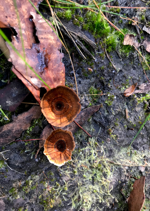
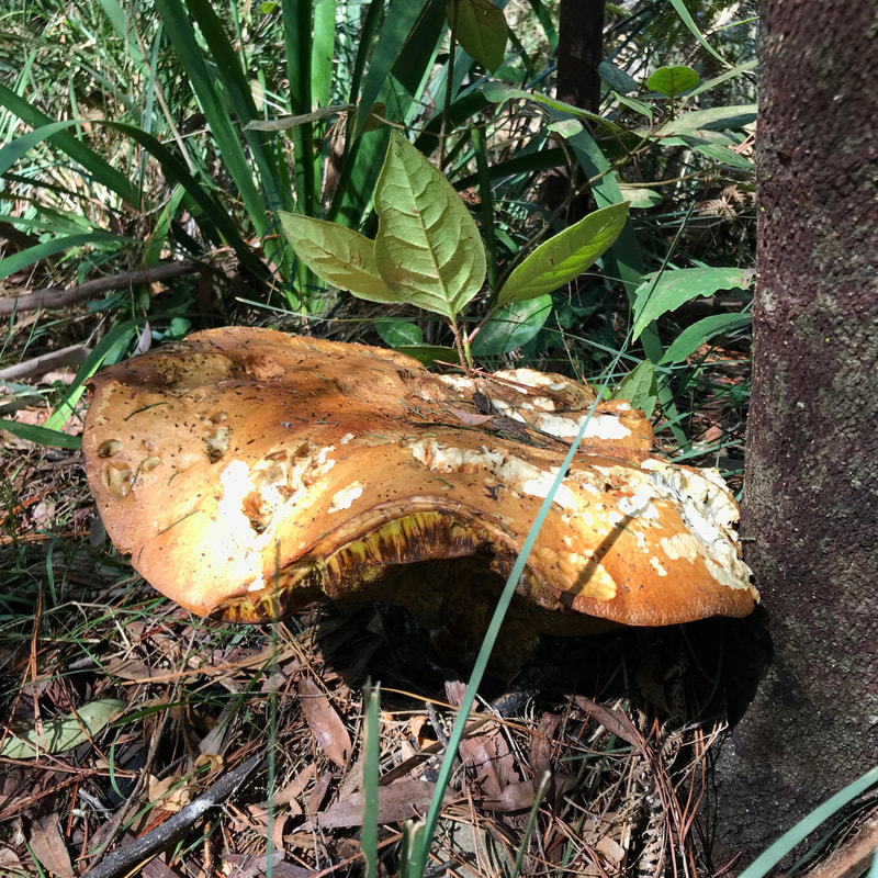
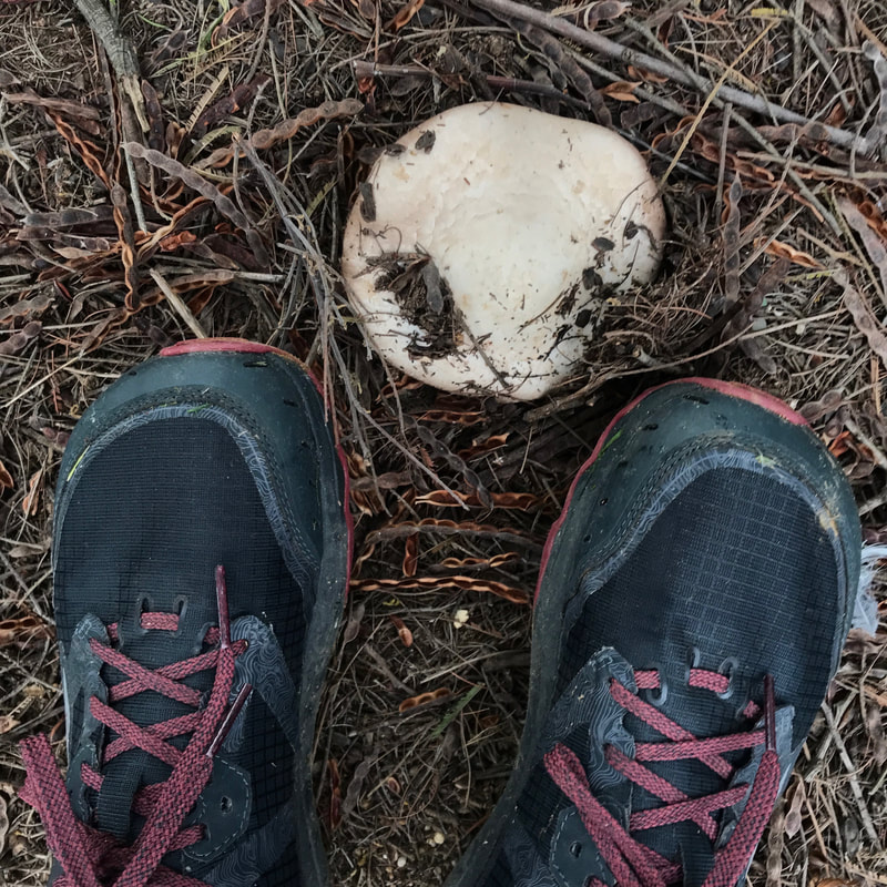
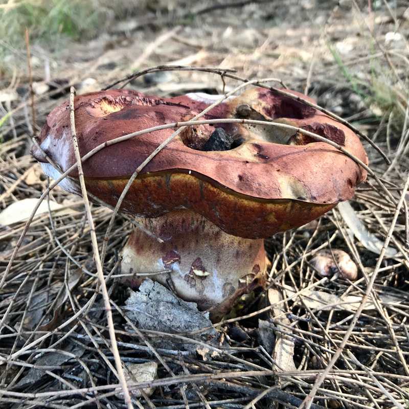
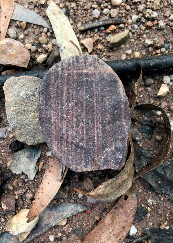
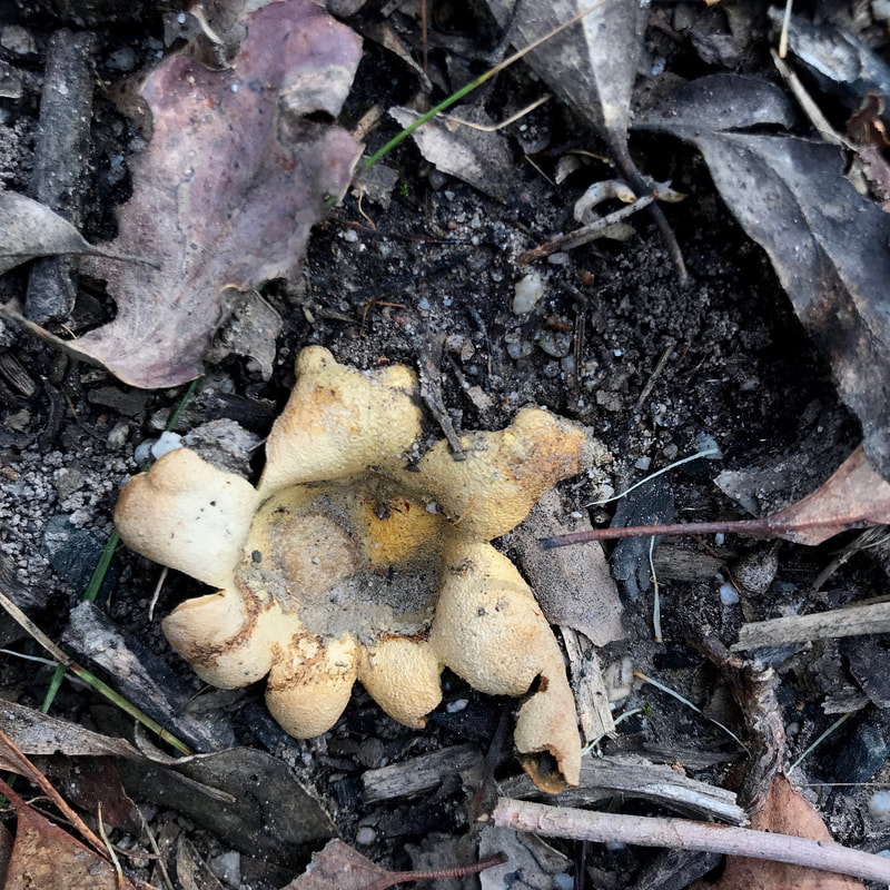 The remains of some kind of earth star fungus. | 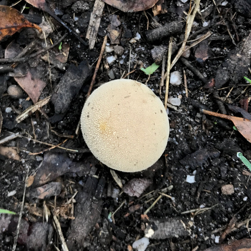 A nice young puffball. |
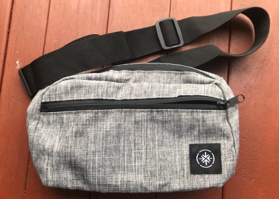
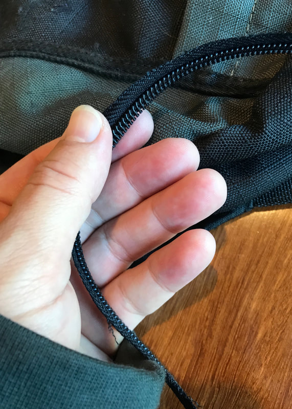
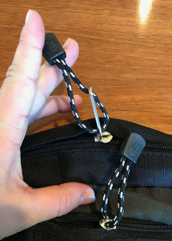
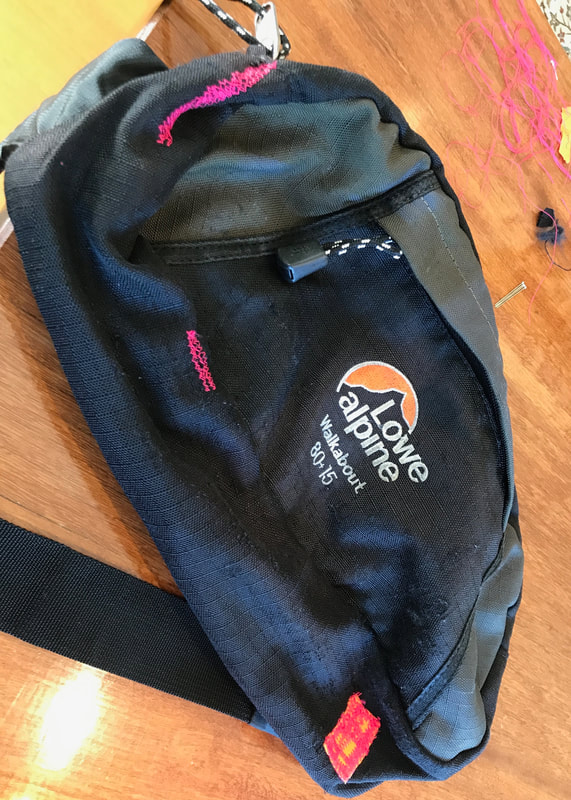
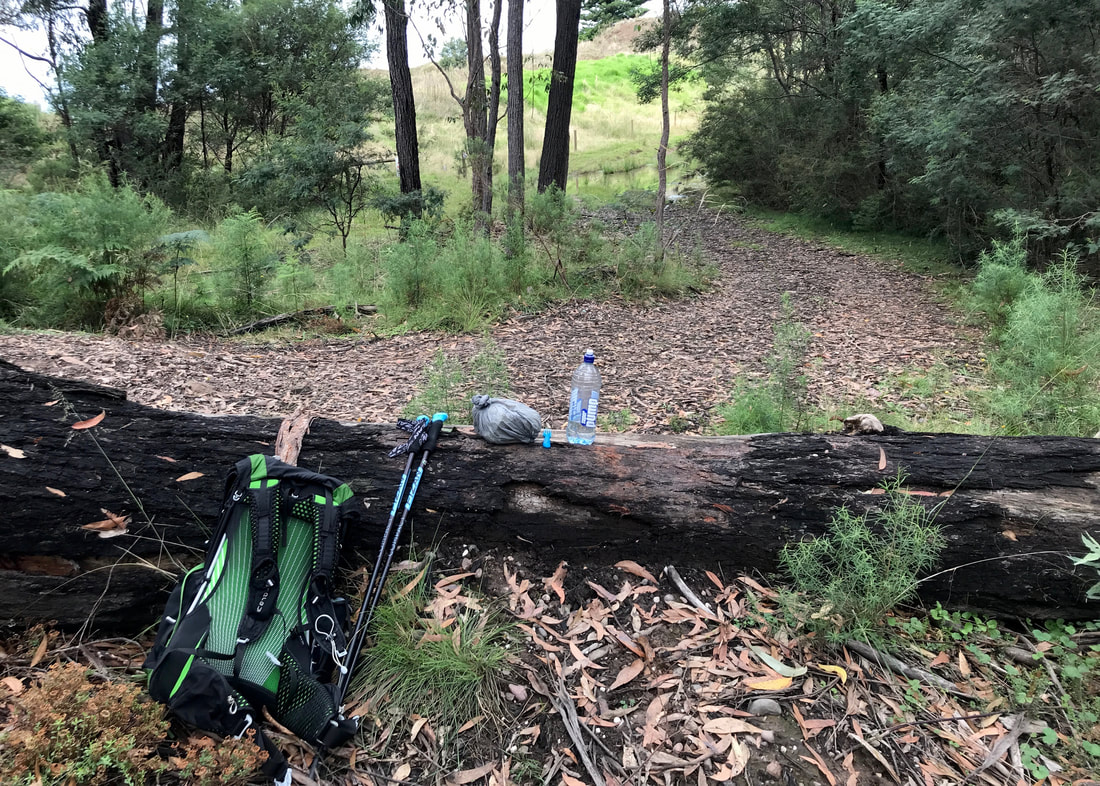
I used the smaller bum bag, and I think I’ve decided I would rather take the big one. Although this one has the really handy pocket for my phone at the front, I don’t think it’s quite big enough to store everything I want handy: audio recorder, sunnies, PLB, snack, lip balm, head net, maybe a bandanna/buff, phone and a snack or two. I can use the hip belt pockets on my pack for the PLB and a couple of small things (which I did today), but the extra space is just too useful. Maybe I can create an internal pocket for my phone in the large bum bag to make it easier to keep separate from the rest of the contents.
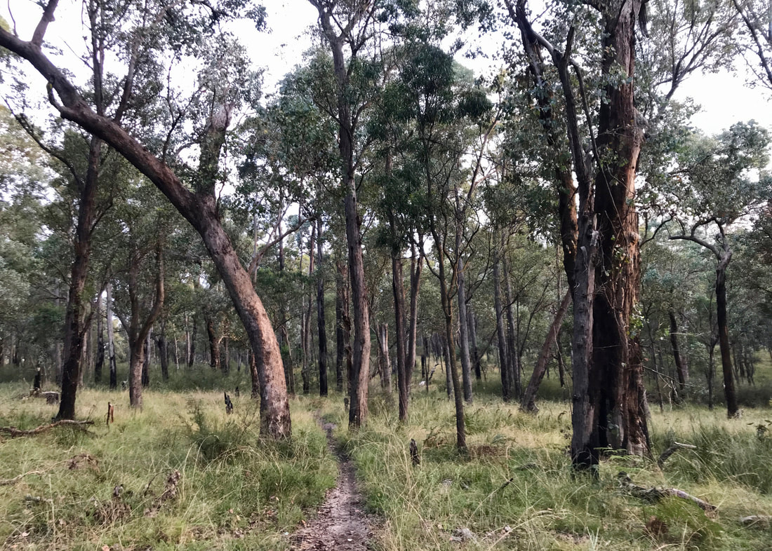
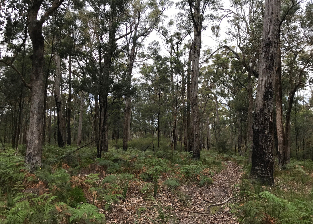
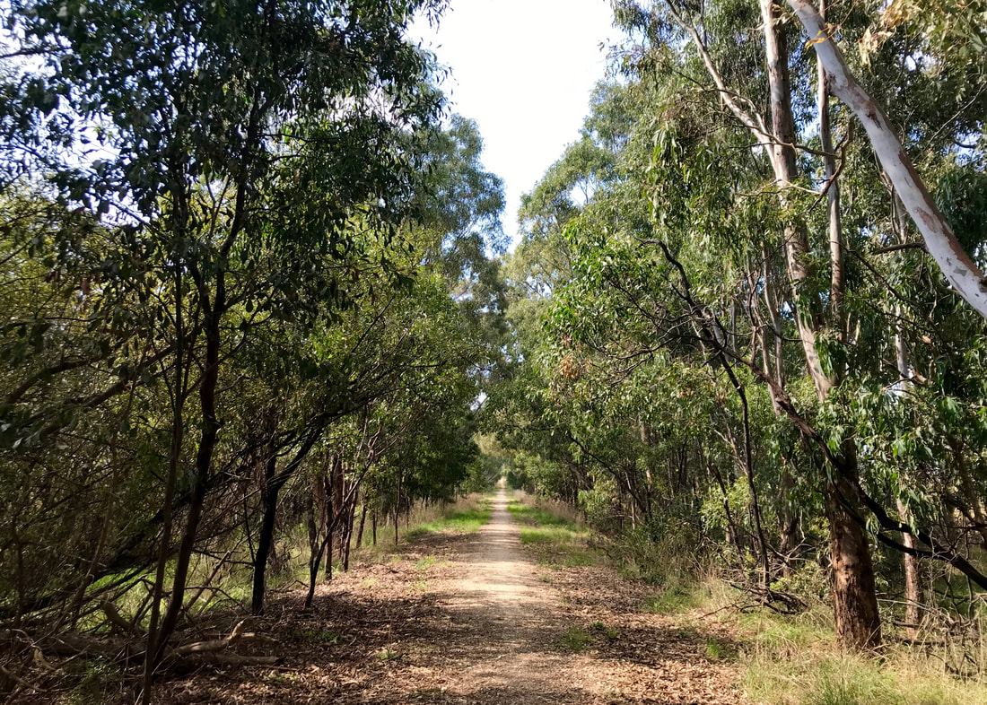
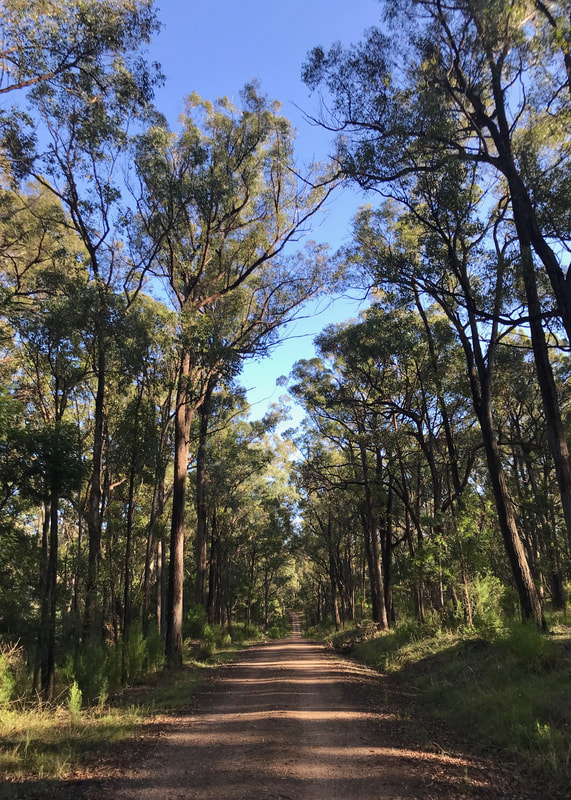
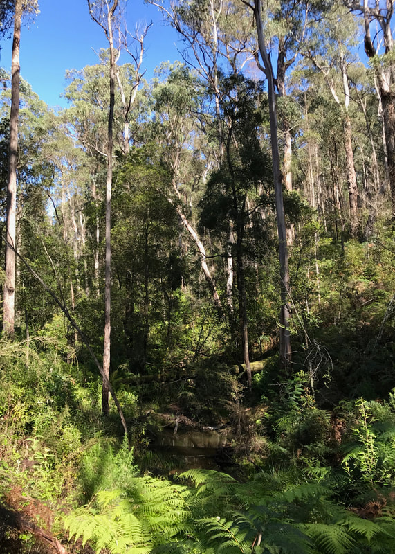
A beautiful section of trail through open forest, which I guess has seen a fuel reduction burn not too long ago.
This walk is on Brayakaulung/Gunaikurnai Country. As with all of so-called Australia, Indigenous people did not cede this territory - it always was, and always will be, Aboriginal land.


 RSS Feed
