Despite all our long distance walks and our walks on long distance paths, I don't think we've ever walked a formally named and labelled long path from end to end in one go. Well, not until now!
And when I say "now", I mean back at the end of May/start of June. It's taken me a long time to muster the energy to edit photos and blog, as things have been pretty stressful at work. But I promised myself I'd get something out before the summer holidays started at the end of July (I have one more day of work, this Tuesday!), so here it is.
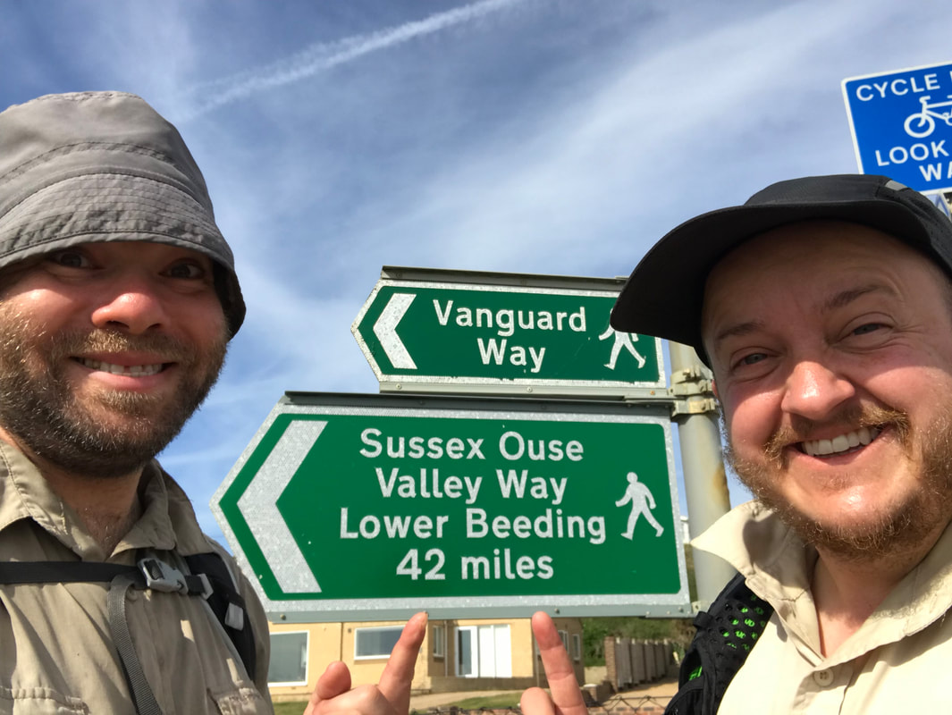
Day 1: Lower Beeding to Handcross
We started by driving to Seaford (the end of the walk), then catching a bus along the coast to Brighton and another inland to Lower Beeding (the start of the walk).
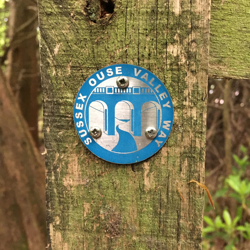
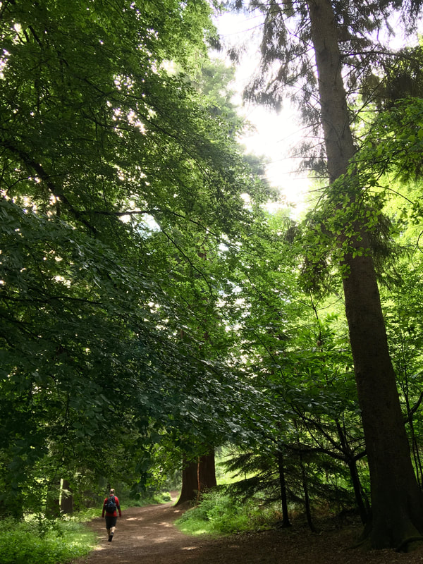
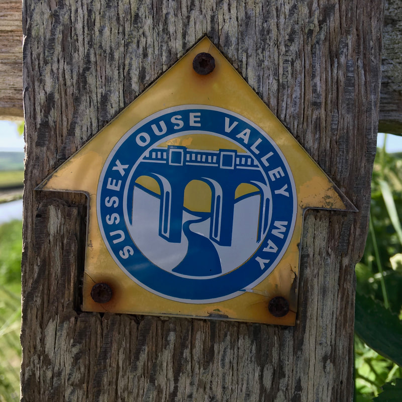
After a winding trip down country lanes, we jumped off the bus at Leonardslee garden/park and found what our map said was the start of the walk. There was no sign that this was the terminus of a long distance path, but a few minutes in we found our first official Sussex Ouse Valley Way waymark. We wandered down a muddy track ("Lorrys and Vans will / Get stuck if you go / down / here !!!!!!!!!!!" said the sign) and past the gardens, enjoying the overhanging rhododendrons and glimpses of more through the fence.
 |  |
It was lunch time when we started, and drizzly, so we stopped in the outskirts of a beech wood for a snack. A peaceful break, except for the sound of dozens of police dogs barking and howling in their training fields back over the valley.
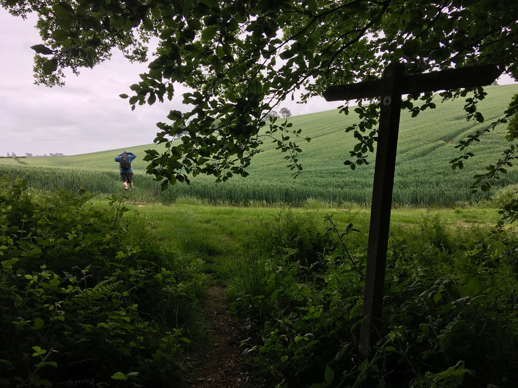
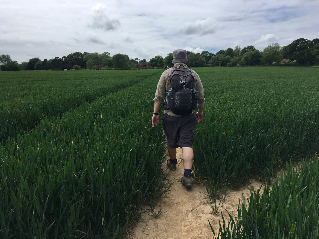
We'd hoped to stay dry-ish, but walking through a field of recently-drenched young wheat put paid to this. Water leaked through my shoes in the first few steps, and more dripped down my legs, soaking my socks from above. After a little while I gave up being bothered by the squelching, knowing it was a short day and we had a nice Airbnb to look forward to at the end of it.
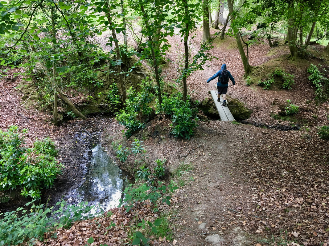
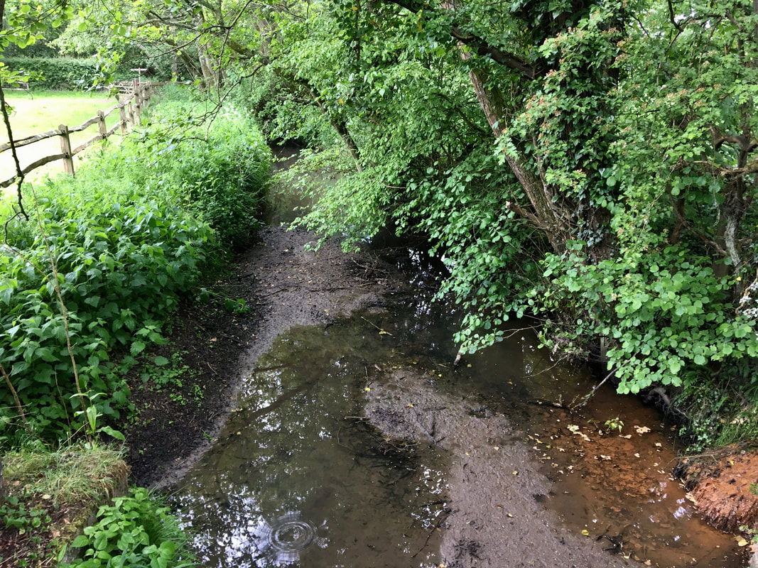
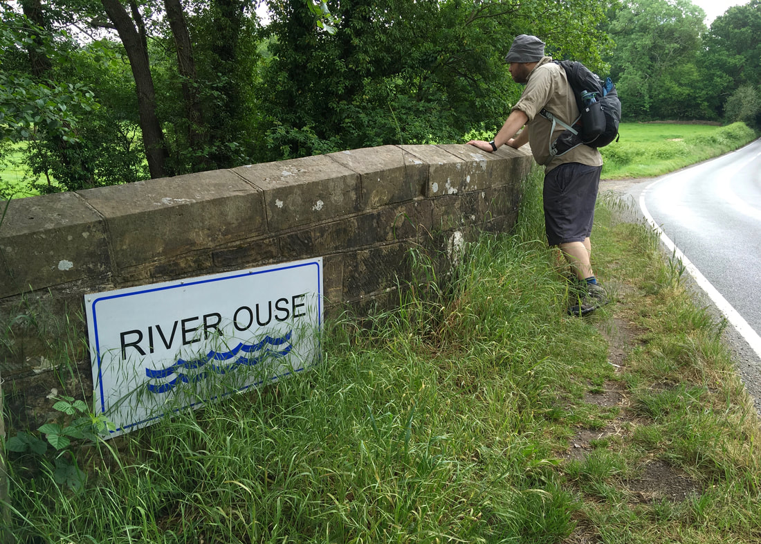
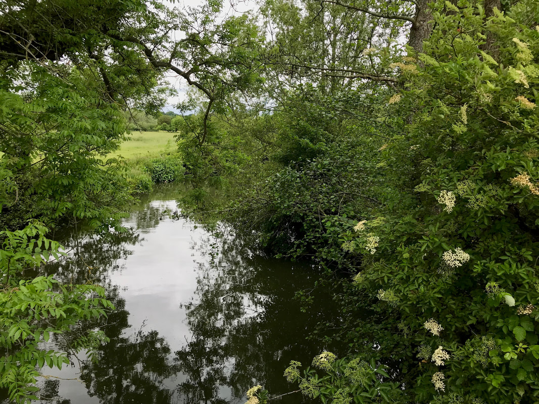
I didn't take a huge number of photos on this first day, as it was drizzling on and off. It was interesting to be on a path that I hadn't really researched (often I'll map them out myself, but we had a downloaded GPS route for this) and following waymarks more than the map (the path was pretty well signposted). I had a much less clear idea of where I was - and I had no idea whether the streams we passed or crossed were the Ouse or minor tributaries.
In the photo below (which may or may not be the River Ouse), you can see the rust-red of iron in the water on the right. I've talked about this phenomenon before - the photo below is a much less spectacular version!
When we reached Slaugham (pronounced Slaffem, we think - while Laughton in East Sussex is pronounced Lorten) we took a quick break in the church, resting our feet and getting out of the rain. From there, we took a long, unpaved estate drive up to Handcross, passing the interesting structure below, then walked on to our Airbnb. We upgraded to the family room with its own bathroom so we could wash our socks and dry them on the towel rail without forcing anyone else to look at (or smell) them. We watched a horse and chooks from the window, patted the cute house dog and binged on the last few episodes of Killing Eve Season 1.
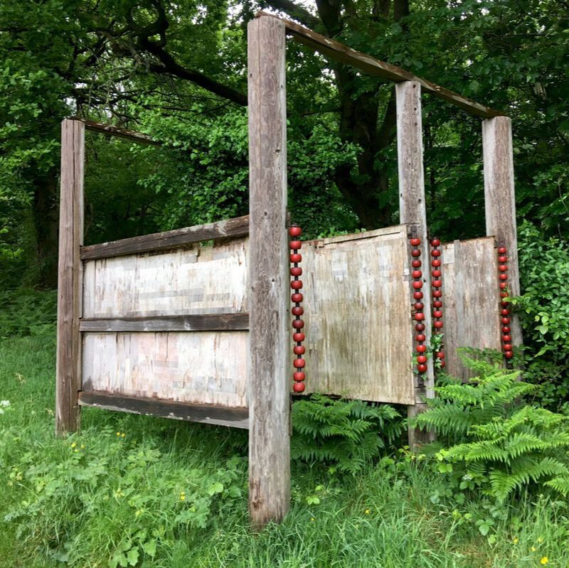 |  |
Day 2: Handcross to North Chailey
Our friendly host gave us a lift back up to town so we didn't have to retrace our steps up the road. That was especially nice as we knew we had a long day ahead.
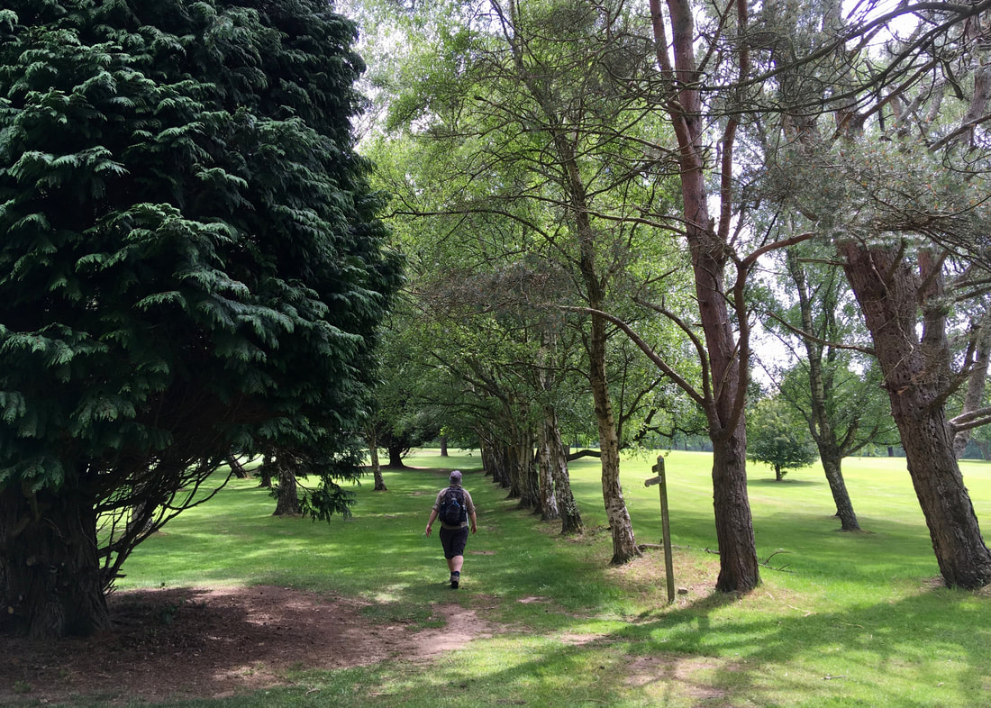
We set off in intermittent sunshine, heading straight into Nymans. We'd visited before, but we'd stuck to the gardens and the house then, rather than exploring the woods, so it was lovely to have a look around as we went through. We were almost the only people there so early. It was just us, the chatty birds and the tall trees.
 |  |
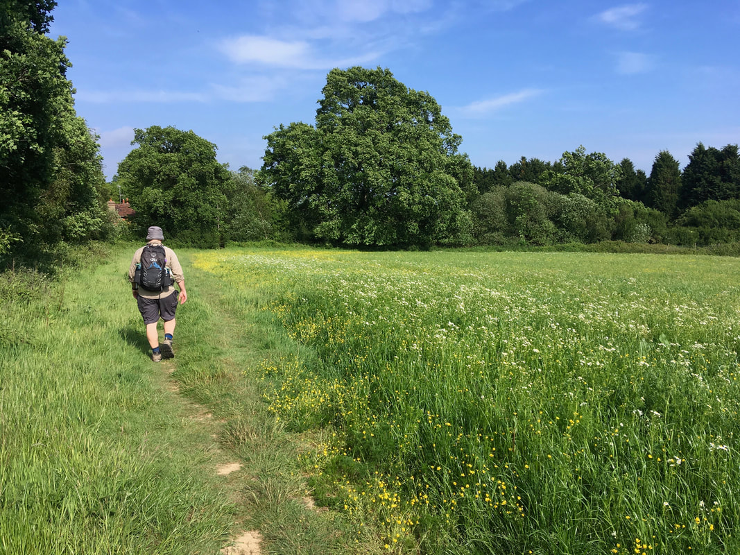
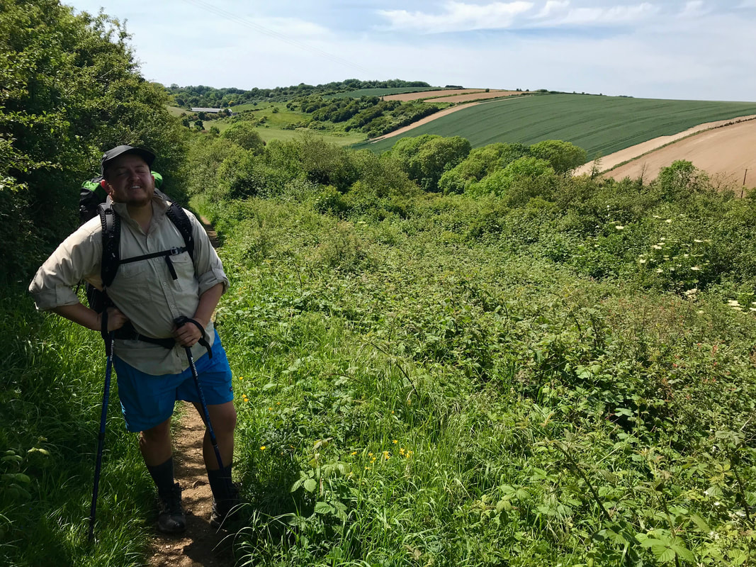
Out the other side, we followed roads and paths into Staplefield. We'd read in the notes on some website or another that the Sussex Ouse Valley Way was on 80% sealed paths, so we were keeping note of what was underfoot. Although we did seem to follow a lot of country lanes during the first couple of days, we felt there was a good mix with dirt footpaths and grassy fields.
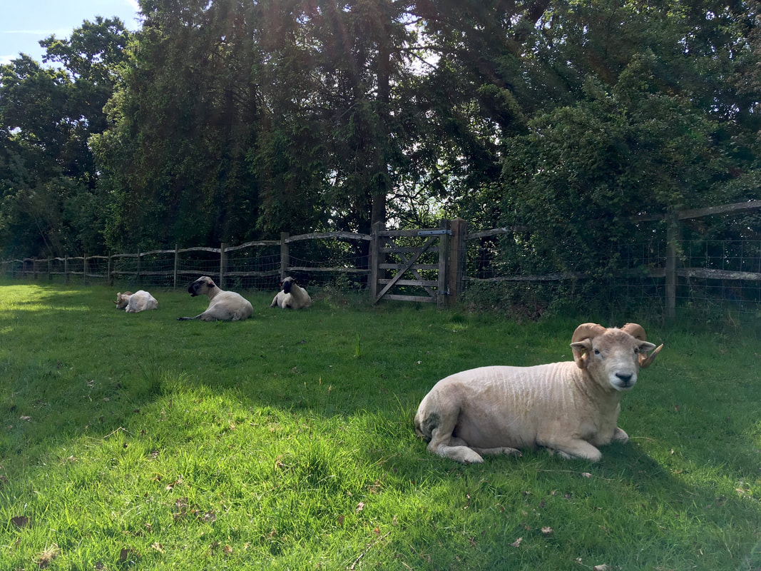
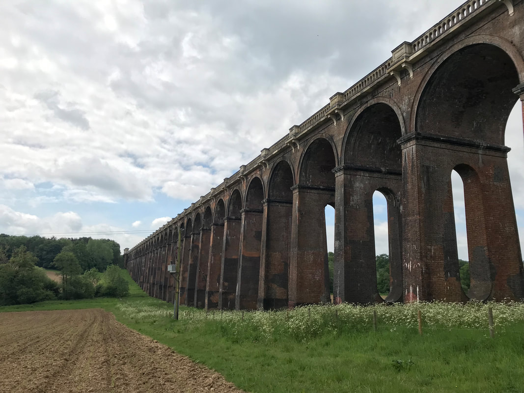
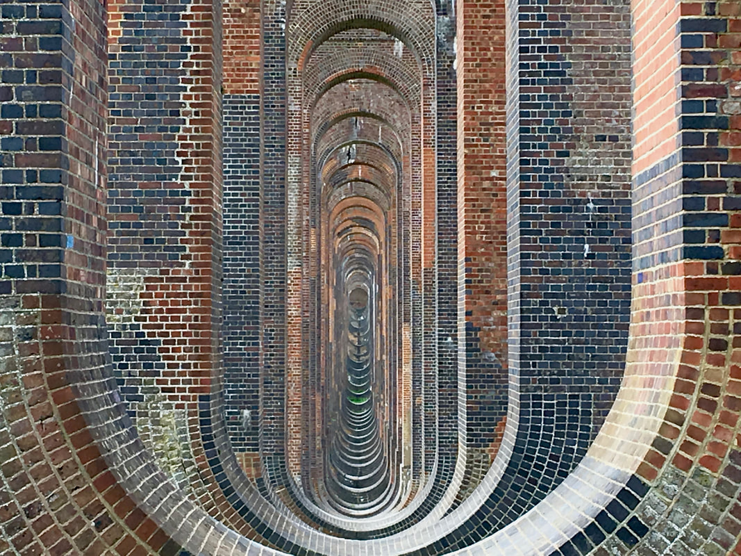
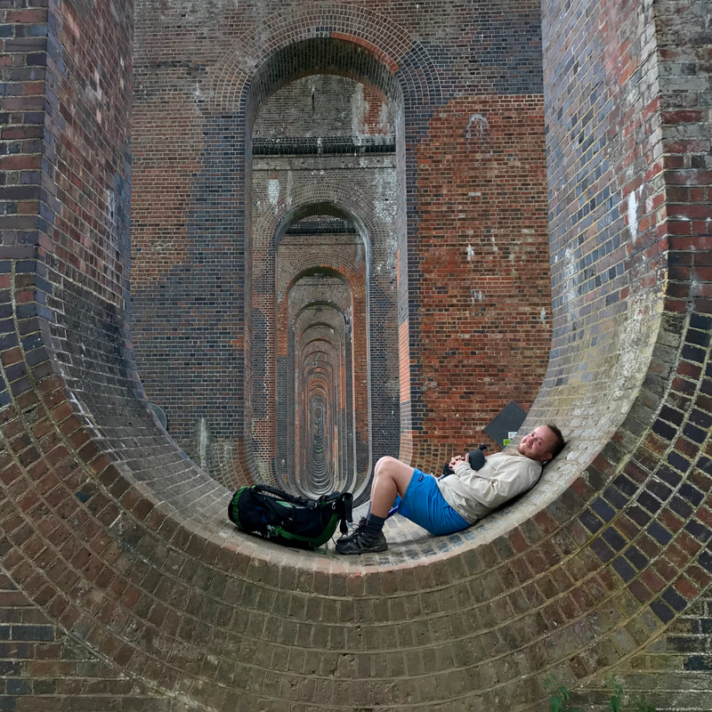
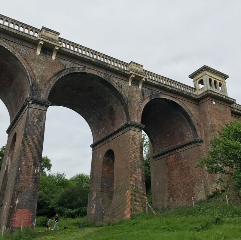
After passing through some farms - saying hello to the rams (above), ducks, flitty birds, horses (very keen to see if we had snacks for them), ladybirds and so on - we came to one of the key landmarks on the trail. The Ouse Valley (or Balcombe) Viaduct features on the waymarkers for this path. I remember going over the viaduct on the train down to Brighton the first time we visited, and again when we first moved to the UK back in 2011. I've always wondered what the structure would look like from underneath. Turns out it looks pretty great!
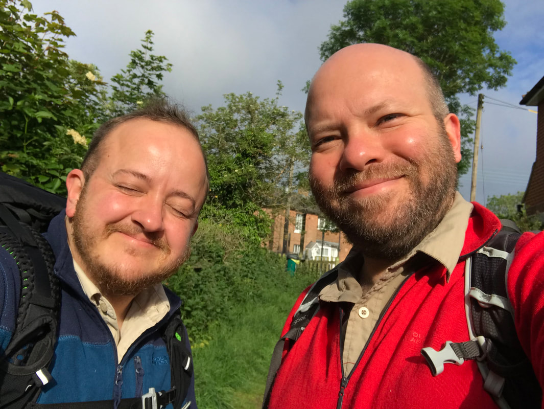
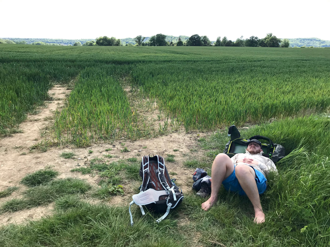
Having seen hardly anyone all day, about two minutes after we stopped for a snack and a lie down several people appeared - a solo walker, a solo sightseer and a family party that looked like they were going to stay for a while. So, after taking our pictures, we headed off.
 |  |
And then . . .
. . . our first officially signposted crossing of the Ouse! It's always nice to know you're on the right track. Our next stop was to be lunch at Lindfield, a town outside Haywards Heath. From this section, my strongest memory is of passing through a wood where some kind of conifers were being harvested. The cut wood gave out such a sweet smell - almost like strawberries! We approached Lindfield via the cultivated surrounds of a golf course, then a bit of lane walking and some paths through farms and behind houses before we popped out on the street.
We headed into one of the pubs (on the recommendation of the walker who had passed us at the viaduct) and had a decent lunch. It was a short detour off the path, but we both needed the rest and it gave us a chance to dry our socks and shoes again.
Nearby clouds were threatening rain as we headed off after our break, but all we got was a very muggy atmosphere, ensuring we worked up a magnificent sweat. I started to worry that I'd only bought one shirt . . . was I going to get extremely smelly?
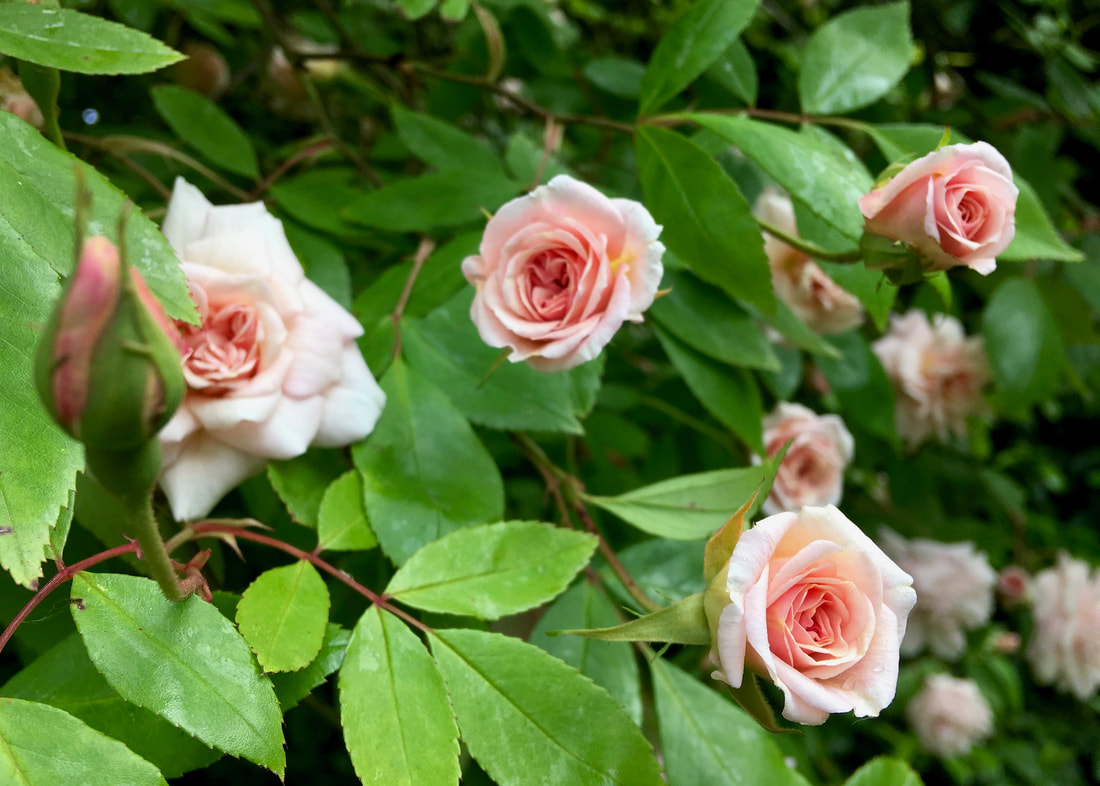
Looking back on this day, it seems very long! It was about 25km (15mi) in total, but it feels even longer than that. There are whole sections I've skipped in this post - we went through woods and farms, stopped at a pub near the river just as it was closing (they still sold us a nice cold drink) and admired all the late spring flowers (I have decided May is the prettiest month of the year in these parts).
We also passed quite a number of campsites, from small ones that looked mostly like a field right up to Wowo Campsite - a sprawling, multi-field affair with all kinds of glamping/camping facilities and even visiting food trucks. WoWo is where we left the official path and detoured to our Airbnb for the evening.
It was only a mile or so, but it felt like forever. My feet were very sore, and I was very happy to jump in a bath before settling down for the evening!
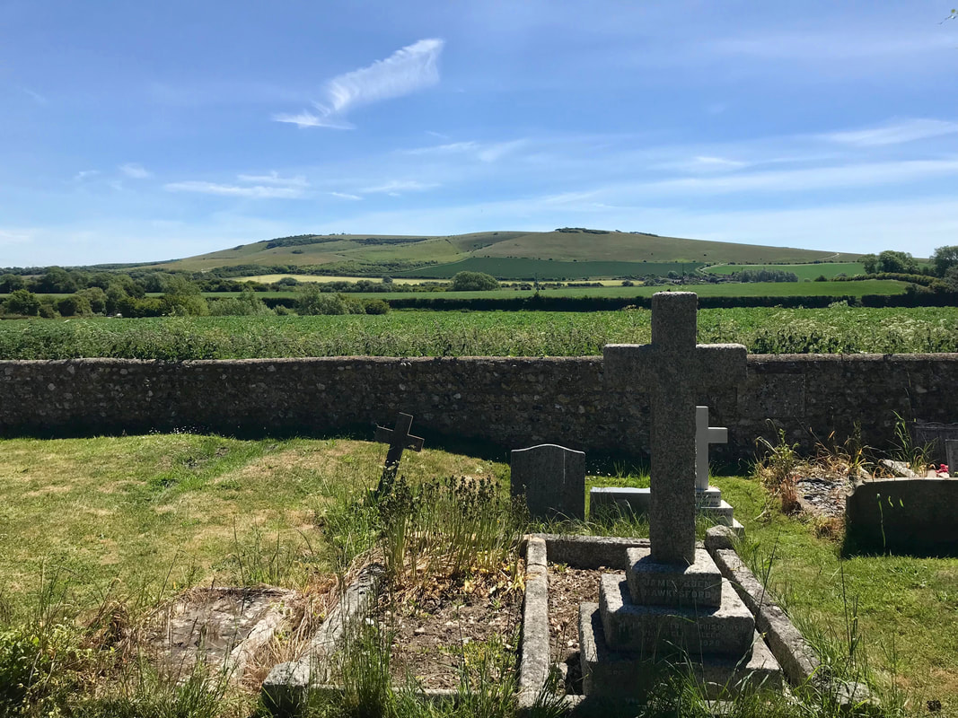
Day 3: North Chailey to Lewes
Morning broke and back we went - down the road, up the lane, into the fields, through the campsite . . . and on to the Ouse Valley Way! There was rain forecast for the morning, but it was meant to clear up into a nice afternoon.
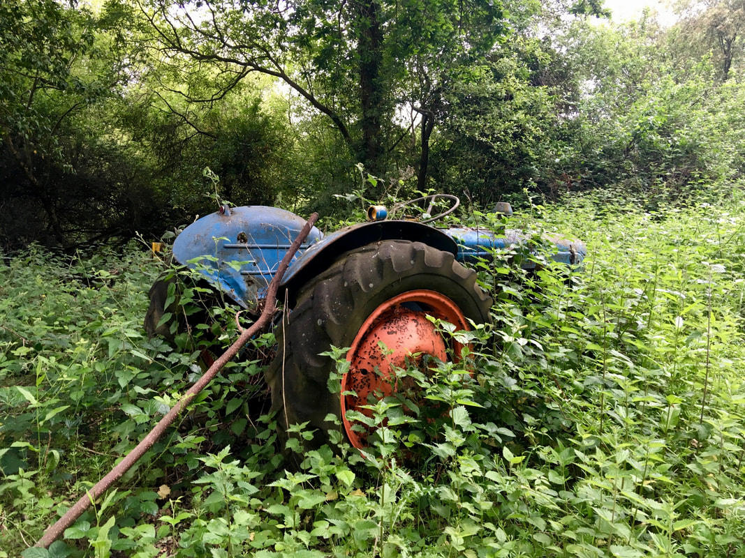
I don't seem to have many photos from the first couple of hours. But we did take a few pictures of old machinery. This one's for you, Dad.
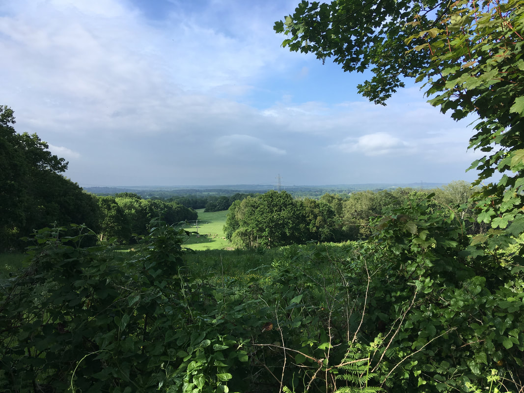
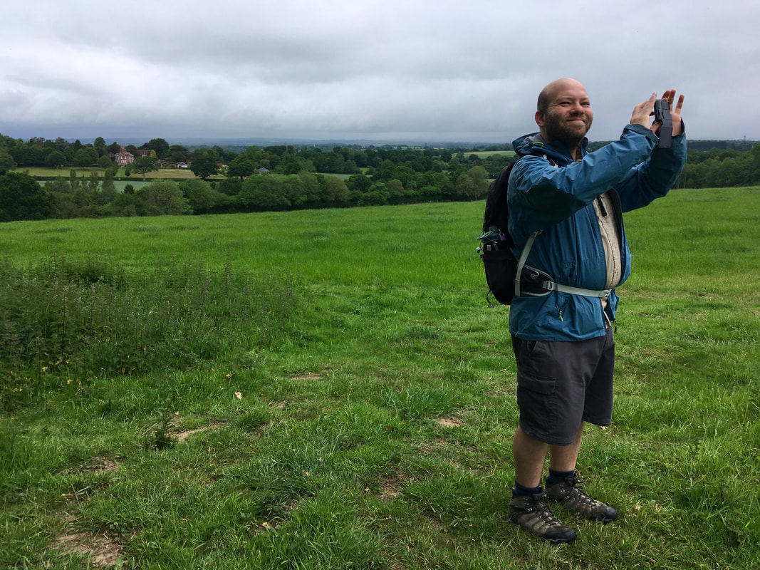
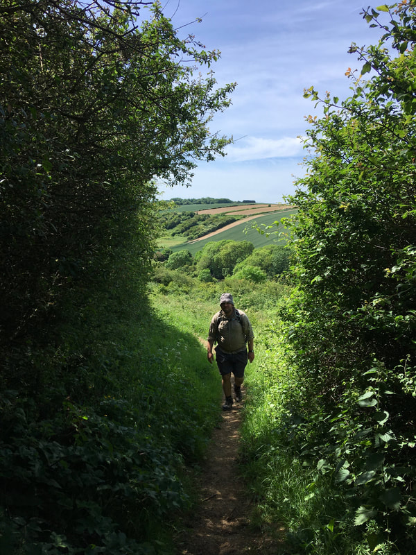
Early in the day we passed the Bluebell Railway station near Sheffield Park. Through the morning we would sometimes catch the hoot of the steam train in the distance. As predicted, it did have a good old rain at one point. We'd made it to Newick and I'd just bought a new packet of plasters to tape up all the weird and wonderful blisters I was getting as a result of walking long distances on my (still relatively new) insoles. We took the rain as an opportunity to have a snack and tend to our wounds under cover of a handy bus shelter. Soon enough, the rain turned into a light drizzle, and we set off once more, down country lanes, then up, up, up a hill to a lovely view. We could spot the South Downs, now, and started to get more of a sense of where we were.
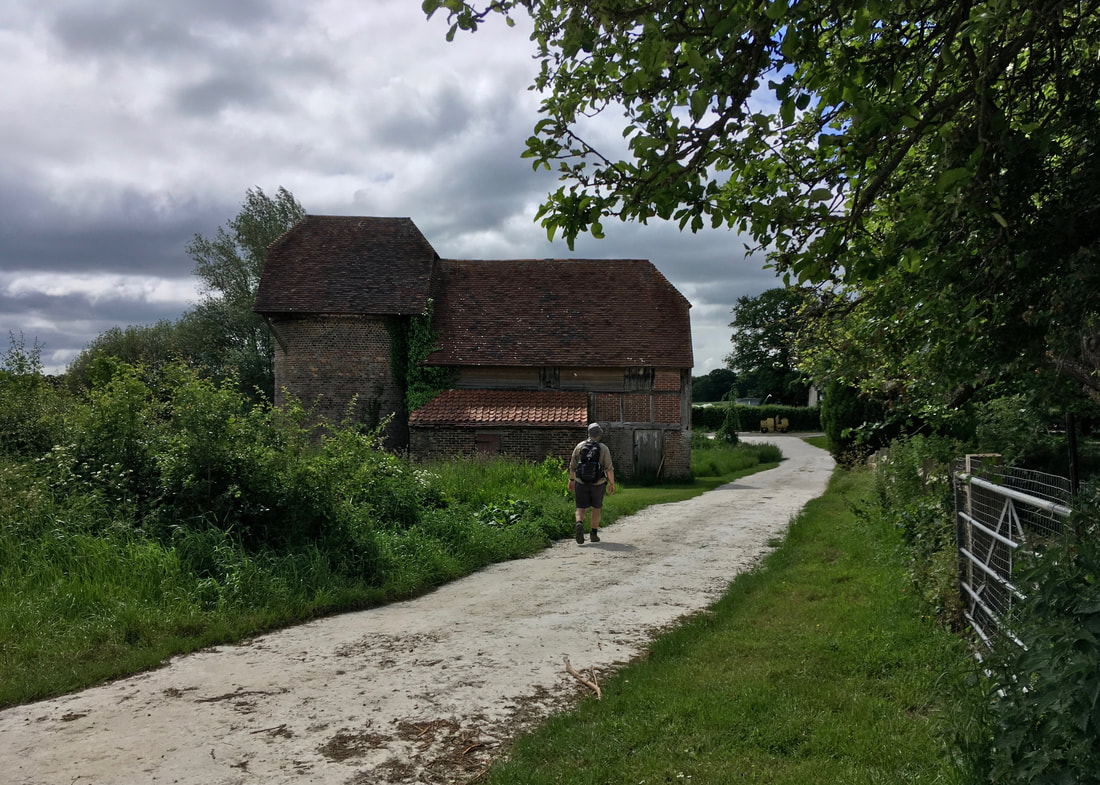
The terrain felt more familiar, too, as we dropped back down into the Ouse Valley. We followed packed chalk tracks through what I believe was a large estate . . .
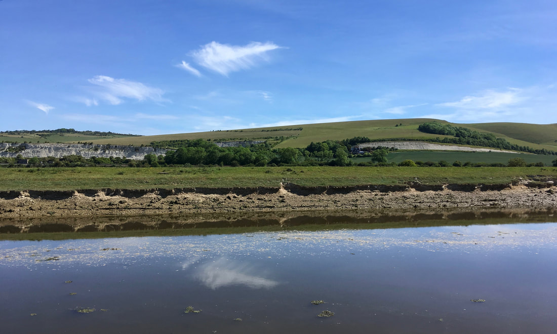
. . . and made it back to the river! Now, this was starting to be recognisable as the Ouse we knew. Maybe a little narrower, but I could imagine a line stretching from here to Barcombe Mills (where I sometimes swim), to Lewes, to Southease (a section we've walked before), to the sea. We were entering another stage of the walk.
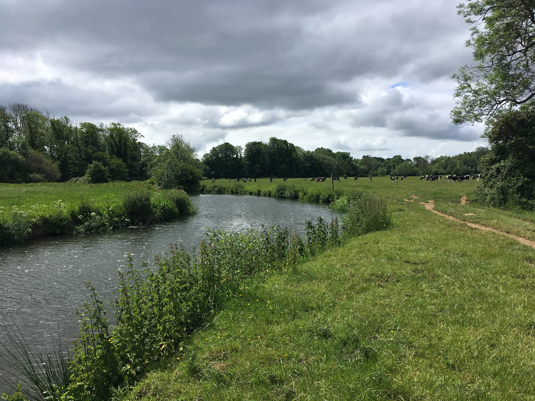
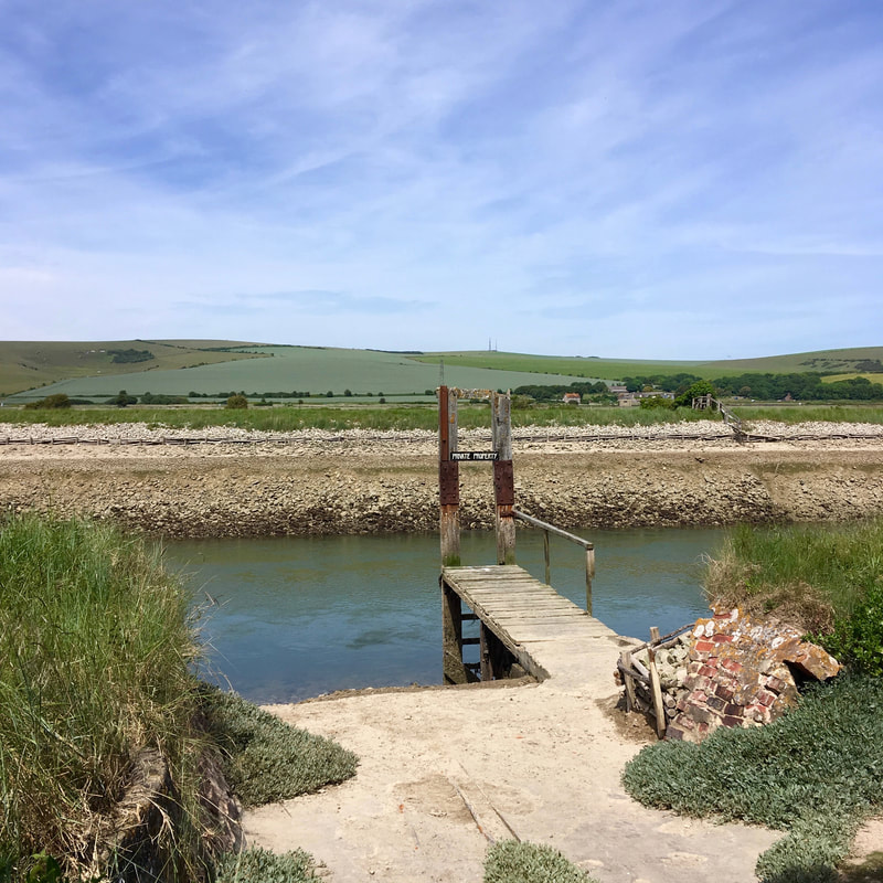
I was surprised to come across Isfield Lock, which is the subject of a long-term restoration project. Because we hadn't actually spent that much time beside the river during this walk, we hadn't seen/noticed any of the 20 or so locks (or the remains of them) along its length. Information points and pamphlets at the lock informed us that the Ouse had once upon a time been 'improved' and made navigable all the way up to Balcombe - and that materials for the Balcombe Viaduct had been shipped in up the river.
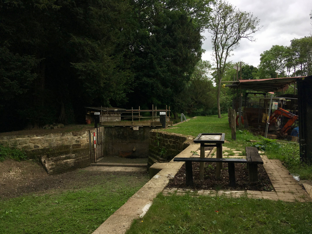
Receiving this information so late in our walk made me wonder how much more interesting history we'd been missing out on - perhaps we should have bought a guide book after all! I had first heard of the path when reading Olivia Laing's To the River several years ago, but I don't seem to have retained much in the way of historical trivia - only a lingering sense of summer atmosphere, languid rivers and some background knowledge about Virginia Woolf, who drowned herself in the Ouse downstream of Lewes. (I recommend the book, by the way.)
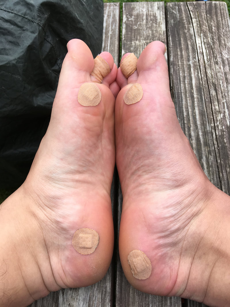
Our next stop was going to be lunch at the Anchor - a pub that sits on the river seemingly miles from any village or town. We were getting hungry, but that didn't prevent us from stopping frequently to admire the scenery, make note of landmarks we knew appearing in the distance and (at least in my case) remove our boots for a bit of blister-doctoring. (Warning: feet picture coming up!)
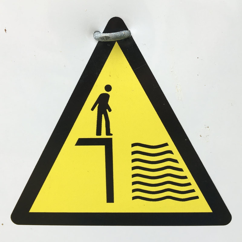 | 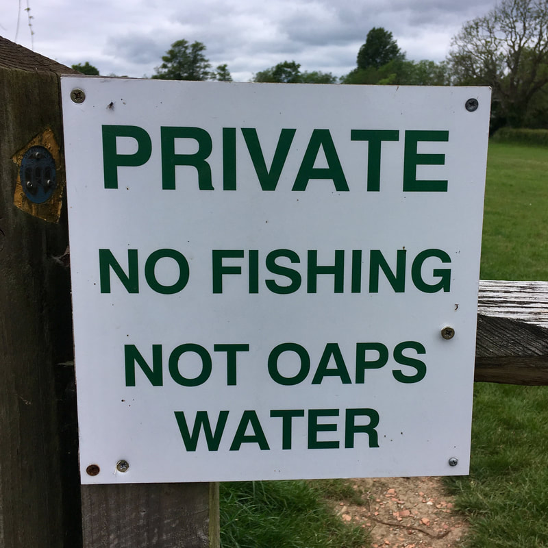 |
Ha! I'd forgotten about these pictures. The one on the left was at the lock, warning of sharp edges and deep water. I thought it looked like someone entertaining several snakes. The one on the right is amusing because in the UK "OAPS" would usually mean "Old Age Pensioners" rather than "Ouse Angling Preservation Society". This river is not for you, old people.
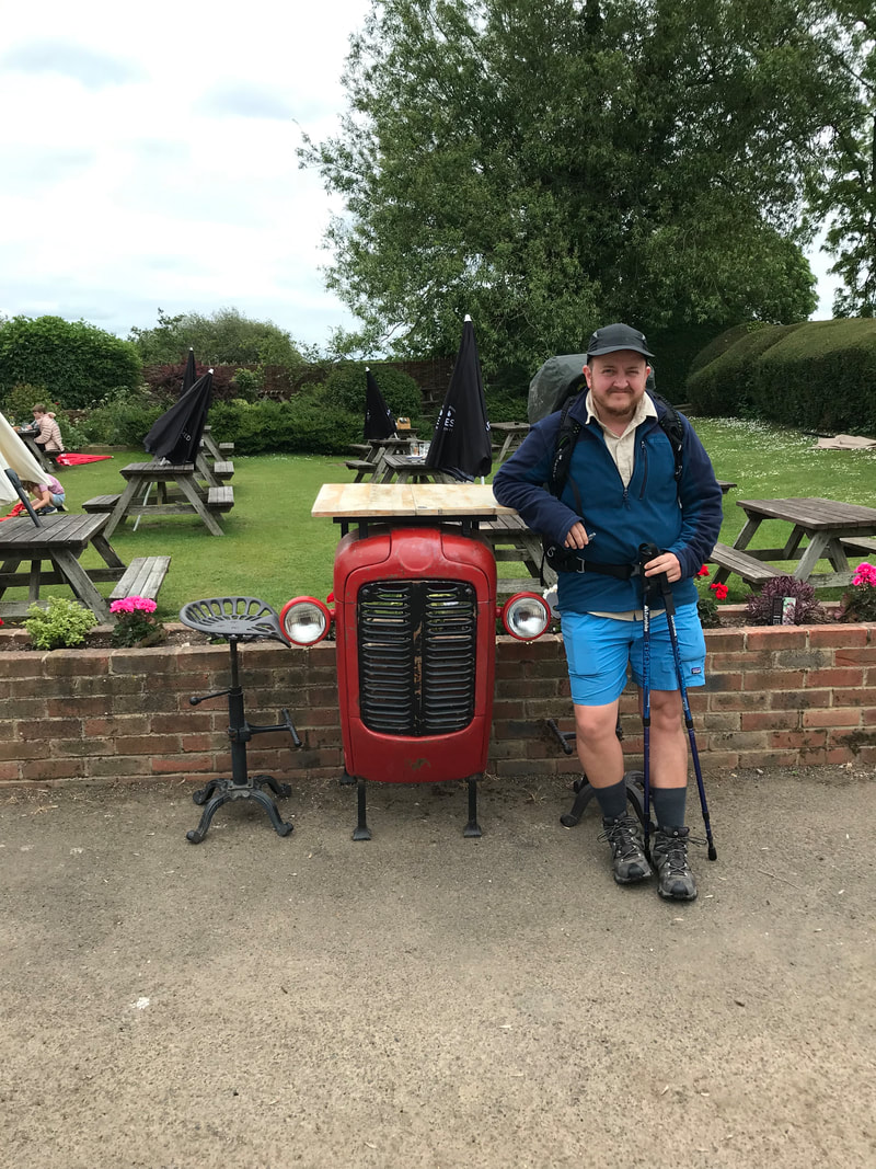
We finally made it to the pub and scoffed down our food while sitting in the beer garden. We'd seen a few folks in hire boats upstream, and smiled to ourselves as they returned to the landing and stepped ashore with more or (usually) less grace. It was starting to warm up a little, and the rain was forecast to hold off, so it was a good opportunity to once again air out my feet. You can see how the insoles are directing my feet in new angles, creating friction in places that are unused to it. Pretty symmetrical, though. (P.S. More tractor!)
 |  |
We were on a familiar section of the river now, heading down to Barcombe Mills, where I started wild swimming last summer and have continued to go for dips after work this year. After Barcombe, we made for the pretty hamlet of Hamsey. There were more people out and about in the afternoon which was nice to see. On the way we were passed by a small and very energetic dog who did not agree with his owner about where he should walk. We were serenaded to the tune of, "Bruce! Bruce! Come back!" as we traipsed along beside the fields.
I was getting quite tired and sore. I had somehow miscalculated both of the last two days - forgetting to add the distances to and from our accommodation. An extra 5-6km might not sound like much, but if you're limping along at less than 3km per hour it means an extra two hours on your (my) poor, knackered feet! Fortunately, the sun was out all afternoon, making for perfect lying-down-in-a-field weather. I had to make the most of it.
It was an enjoyable path into Lewes. We stopped for many breaks to admire the views. And after we'd struggled up the steep streets into the outskirts of town, we were very pleased to find our Airbnb was actually its own mini-apartment, with an amazingly powerful shower, full kitchen, a shared patio overlooking the garden and a comfy couch from which to watch West Side Story.
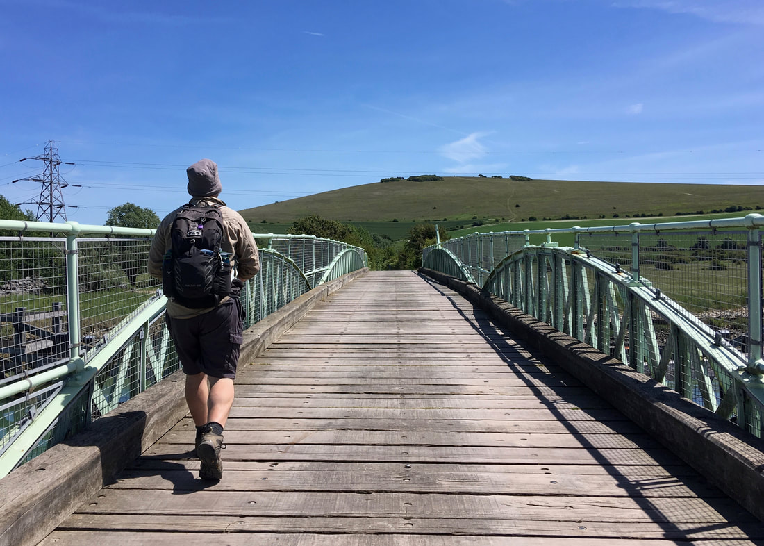
Day 4: Lewes to Seaford
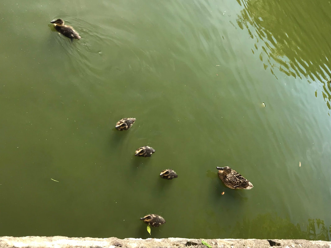
The final day of our walk dawned sunny and warm. We wandered back down the hill into town and popped into the supermarket for a few snacks to help us on the way.
Oh! But before we went to the supermarket, we spent a good while watching ducklings on a pond. We also saw tiny moorhen chicks, which are the cutest, fuzziest things ever.
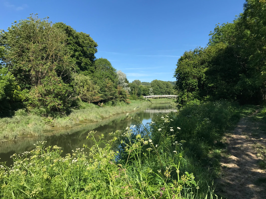
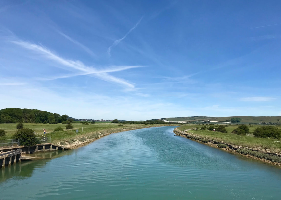
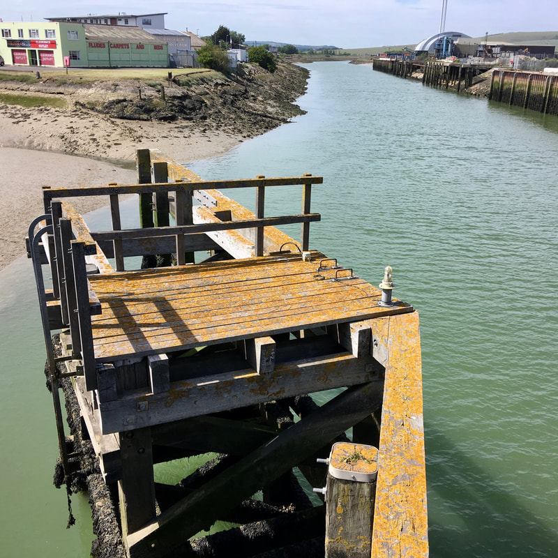
Back to the story: we followed the river through Lewes! The river is tidal here (it is tidal below Barcombe Mills), and there are a lot more boats, which meant some new and interesting things to look at.
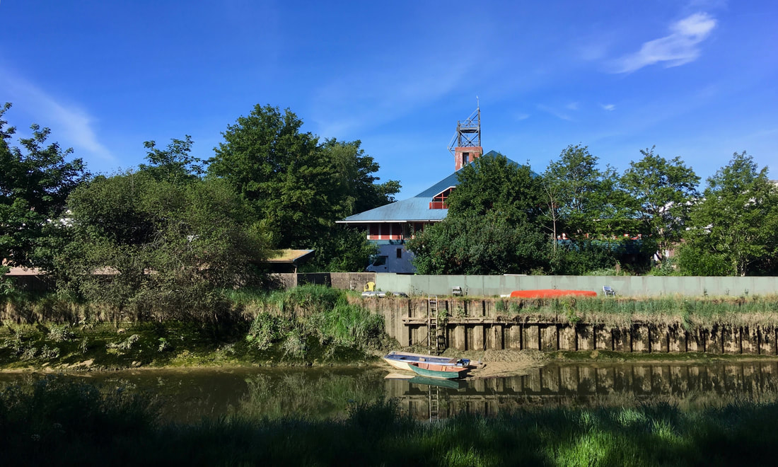
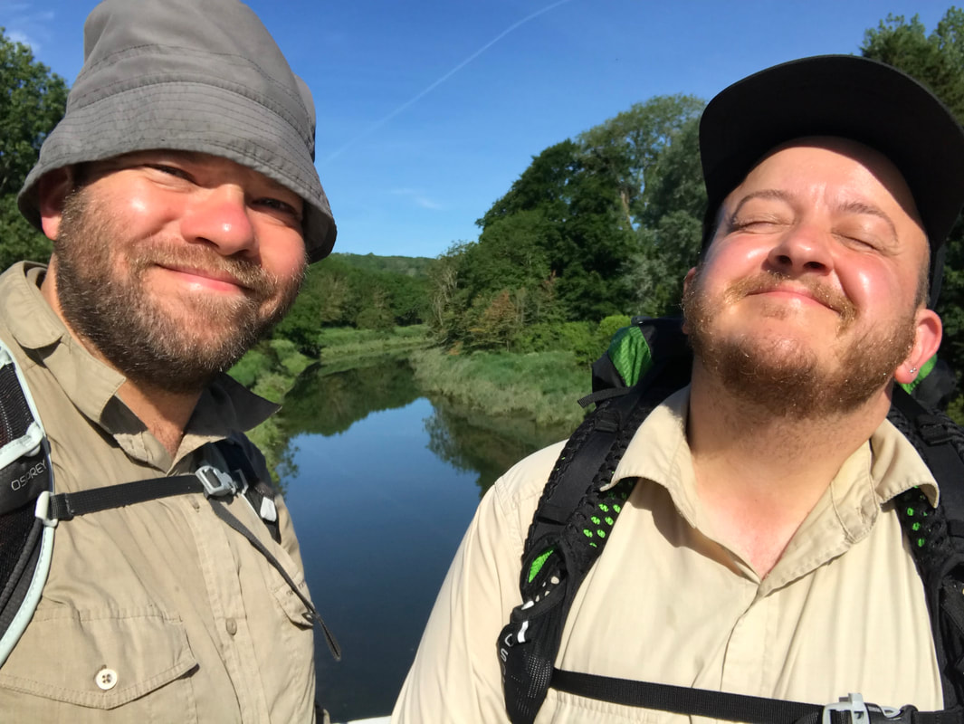
This was the first town of any size on the river, too, giving us a view of a different riverside environment. The sounds of a busker on the bridge drifted down the water, bouncing off the brick and glass of old industrial conversions and new apartments.
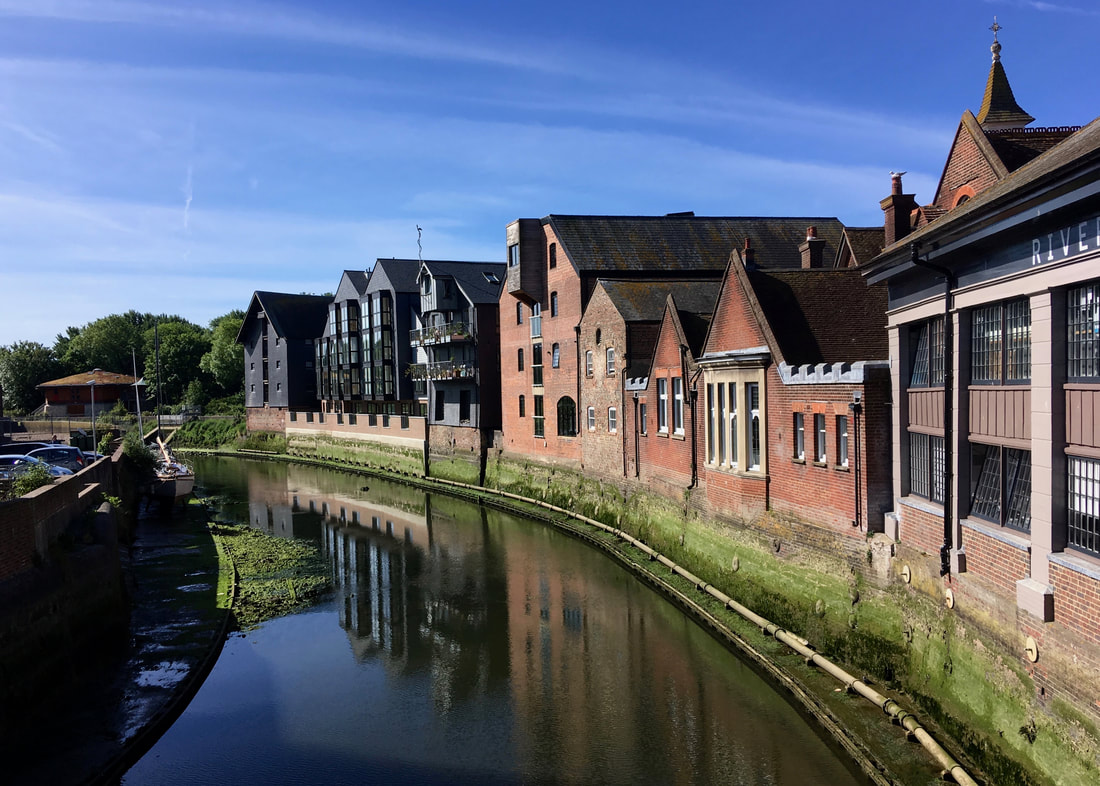
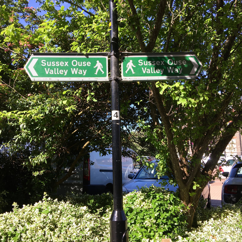
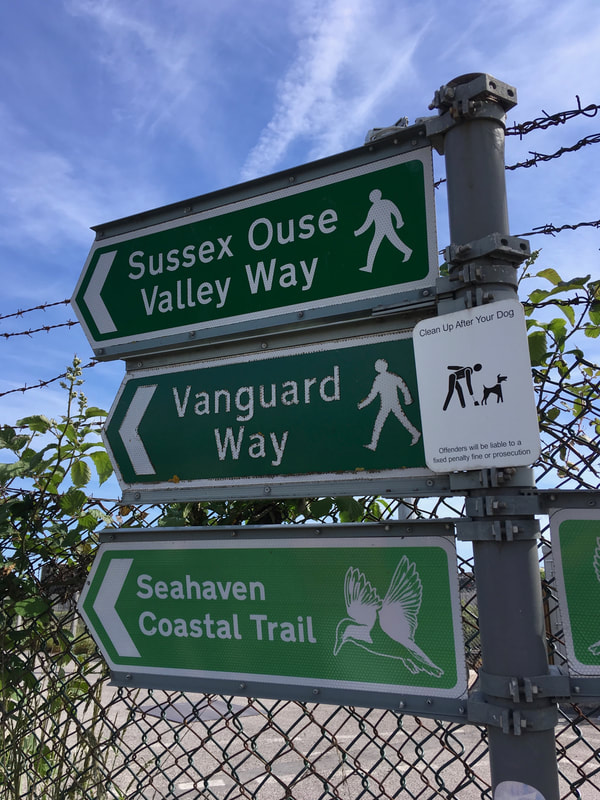
The trail was well signposted through Lewes.
 |  |
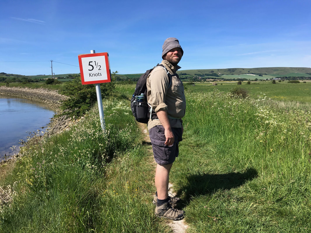
We'd walked the next section before, so we knew more or less what to expect. The path itself is also very straightforward, which allows more time to soak in the view. The tide was coming in as we were going out, creating interesting currents and eddies.
We saw a couple of SUPers and kayakers catching a ride on the current upstream, which seems like it would be a fun day out - catch the tide up to Lewes for lunch, then head back. The current was quite powerful and they were pretty speedy. I hope they were sticking to the 5 1/2 knot limit!
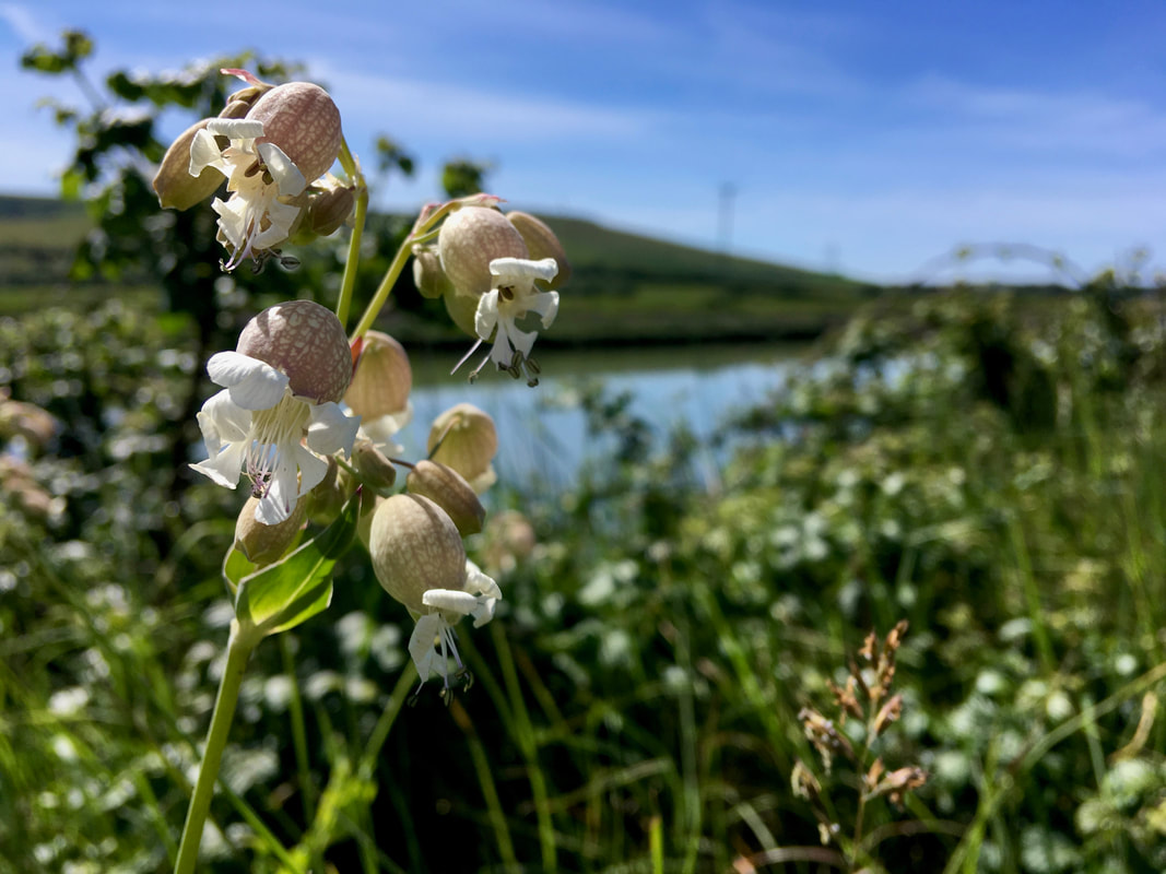
I like these flowers - they're called bladder campion.
Last time we walked here, we followed the river all the way to Southease. This time, we followed the official Sussex Ouse Valley Way, which diverts from the riverside about a mile upstream of Southease and detours through the small village of Rodmell and past Monk's House, where Virginia Woolf lived. We still haven't managed to visit the house, despite it being one of our nearby National Trust properties. One day!
We stopped in the shade of the trees in the churchyard at Rodmell, enjoying the view of the South Downs on the other side of the Ouse valley. And then we decided we'd head over to the YHA at Southease for lunch. I had nachos, which were adequate. It felt very civilised to have all of this in what feels like the middle of nowhere. We wondered if our friend in Brighton would like to walk over the hills from her place to Southease for lunch one day, then take the train home. (Spoilers: she did like, and we ended up doing this last weekend. It was great.)
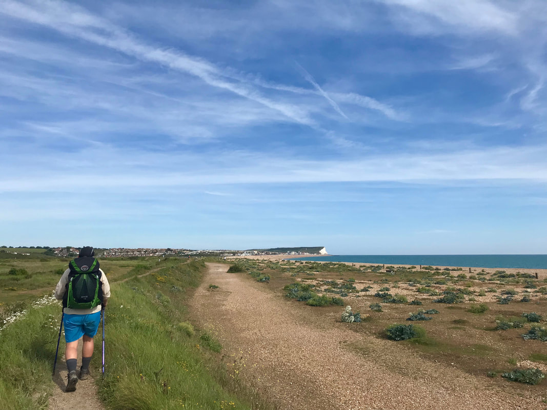
After refreshments (and a re-plastering of my blisters), we were ready to set out again into the blazing sunshine. It was a stark contrast to the weather on the first day - and I was glad it had happened this way around, because there is no shelter to speak of in this section, so rain and wind would have been miserable. We followed a crowd of people heading into Southease for a fair on the green, but turned off south along the river before we got distracted and had to buy a second lunch and several jars of jam.
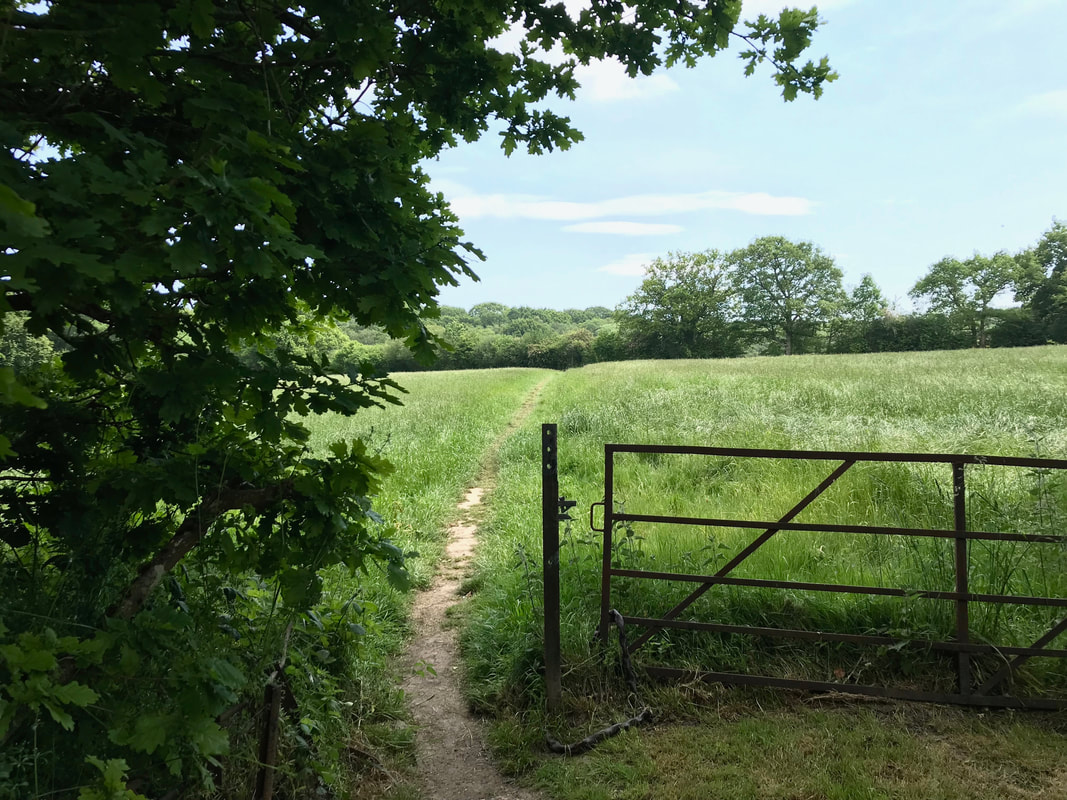
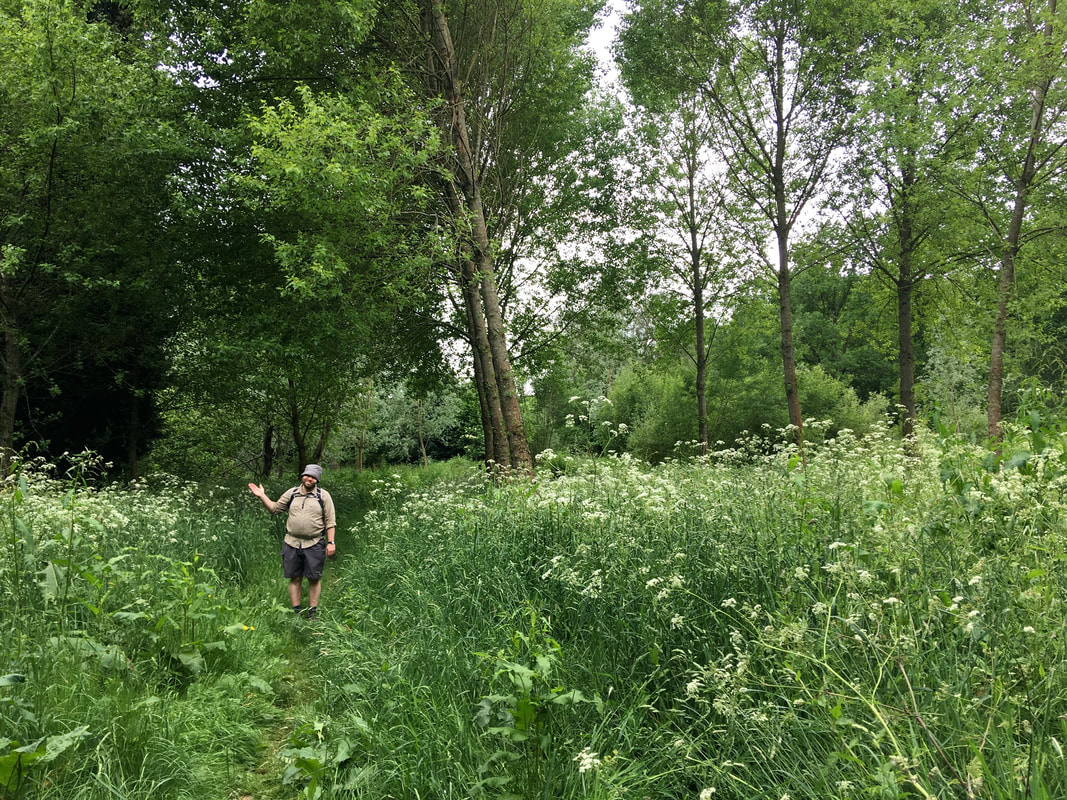
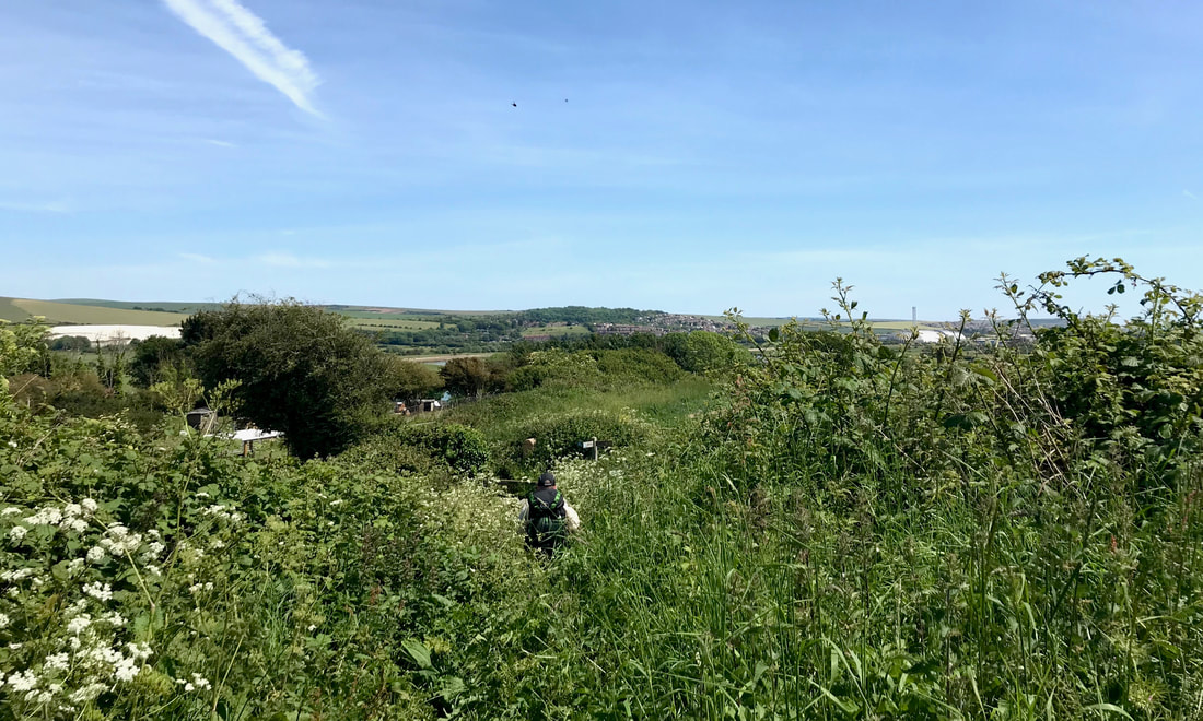
Instead of heading straight along the river, there is a short but noteworthy section that detours up a small, tucked-away valley (where I got to pat an enormously fluffy cat that was hanging out on a wall), climbs up a hill (we did a bit of paddock bashing here, as we couldn't quite figure out the route) and falls down the other side (through some extremely verdant nettles and brambles).
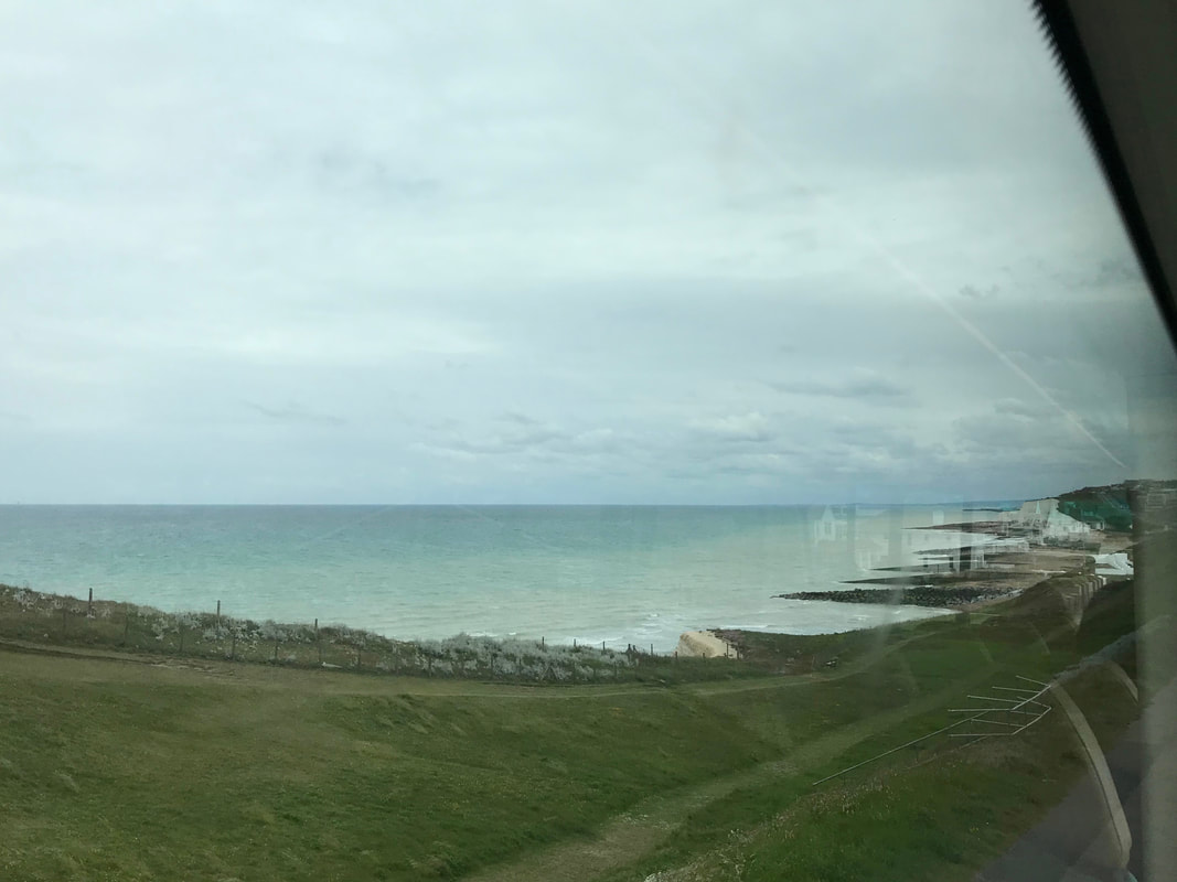
It was a fun mini-adventure on a path that had otherwise been pretty well maintained. It also gave us some views out to the sea. (Can you spot the walker - or the path?! - in the photo below?)
Slightly scratched and lightly stung, we made it into Piddinghoe. There, we did our walker-ly duty of visiting the church and admiring its stained glass windows, its fishy weathervane and its round tower (Southease also has a round tower, but we'd seen that several times before).
 |  |
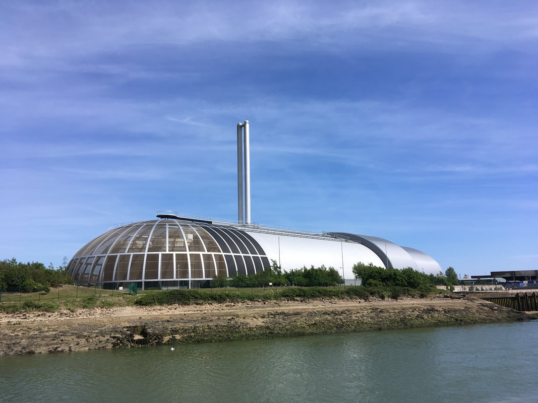
Back on the river, we struck out towards Newhaven. The unique building below welcomed us. We've always wondered what it was, as we've often seen it from the top of the surrounding hills. Turns out, it's an incinerator. They burn household waste and generate electricity there. I mean, if you're going to have an incinerator be the iconic structure of your town, you might as well make it good looking.
Newhaven is truly a lowlight of the walk. OK, I'm sure it didn't help that I was sore and hot and very, very ready for the day to be over, nor that the path passes through some less desirable streets, but the town felt dirty, ugly and run down. Soon enough, though, we crossed the rail line and took the diverted track out through a road construction site and onto the foreshore.
 |  |
I'd vaguely wondered why the path ended at Seaford, to the east, when the mouth of the River Ouse is in Newhaven. Perhaps because it is nicer?! However, as we made our way along, the lagoon of Mill Creek to our left gave us a clue: this must have once been the path of the river itself.
This suspicion was soon confirmed by some information boards along the path. We also passed the foundations of what had once been a hospital or recovery centre for disabled boys who had undergone surgery. It was torn down in WWII as the powers that be thought Germans might invade here and use the buildings as cover. Tide Mills, the village the hospital was near, was condemned as unfit for habitation a few years beforehand. It all seems rather bleak, even on a warm, sunny day. It must have been dire in winter.
Eventually - finally! at last! - I got to do what I'd been dreaming of since Rodmell: take off my shoes and socks and go and stand in the sea. I love doing this anyway, but it was such a relief to numb my sore feet in the chilly water and to say thank you to them after the beating they'd taken over the last few days. I stood there for a good long while, wavelets breaking around my shins, gazing out to the boats and ships on the English Channel.
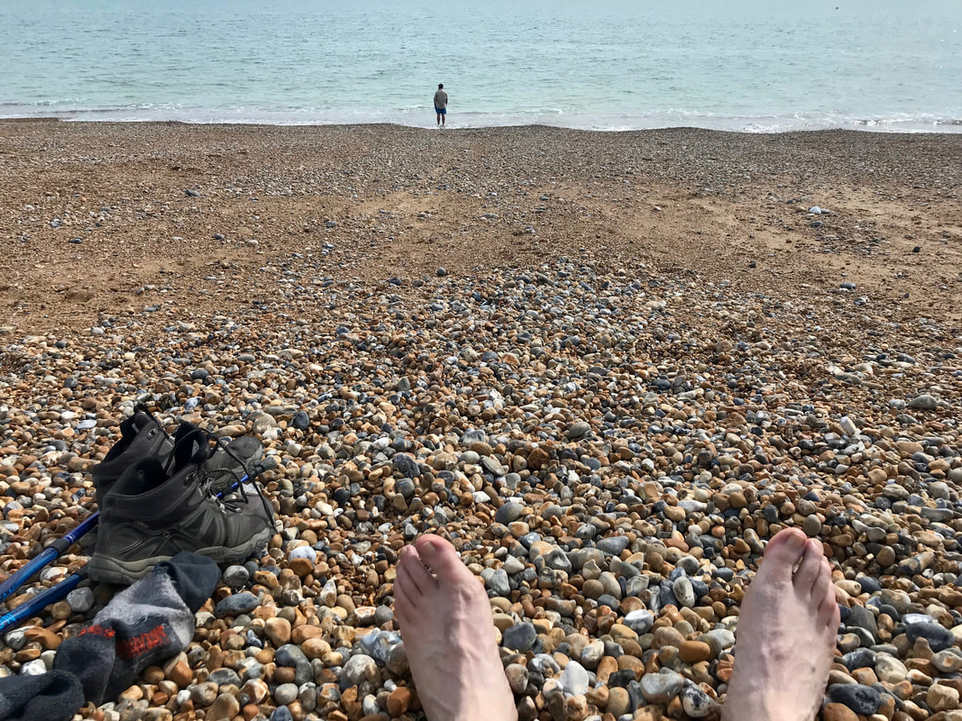
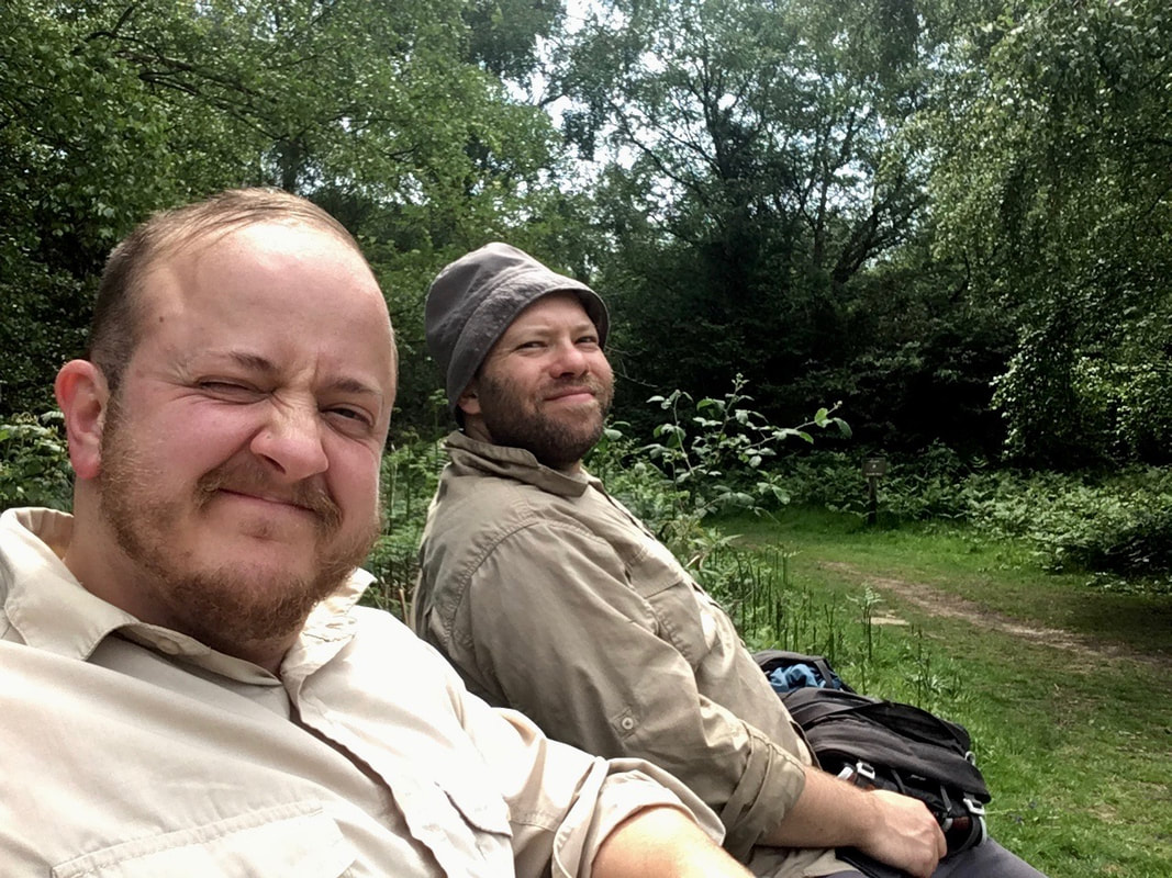
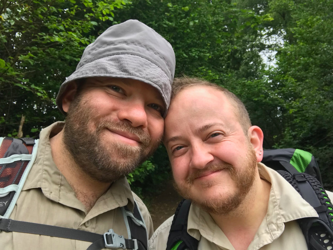
From there, it was a hop, skip and a jump to the end of the Sussex Ouse Valley Way on the outskirts of Seaford. This end had an information sign, and even a fingerpost pointing back to Lower Beeding. It said it was 42 miles, but it felt like we'd walked a lot further than that (and to be fair, with all the detours to accommodation and lunches, we definitely had). We snapped a happy selfie and immediately made a beeline for the icecream van before hobbling back to the car and driving home.
And so that is the story of a pleasant three and a half day walk along the Sussex Ouse Valley Way. I would recommend it to people who'd like to walk a well marked multi-day path, or who have a long weekend and want to thru-hike (as the USAns might say) a trail, or who are generally interested in the landscapes of Sussex.
If you are thinking of walking the Sussex Ouse Valley Way, find a gpx file online (or get the maps) and maybe buy a guidebook so you have a bit more information about the areas you pass through. I'd also highly recommend reading To the River - even if you never plan to walk the path at all!
 RSS Feed
