This month’s themed microadventure challenge was to explore a waterway. We spent a day travelling from the sea to (a) source of the River Cuckmere in East Sussex.
The River Cuckmere rises in the High Weald and tumbles down to the quiet farmland of the Low Weald before meandering through a wide gap in the South Downs and joining the English Channel near the famous Seven Sisters white cliffs.
Cuckmere Haven
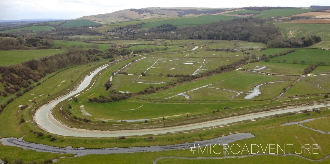
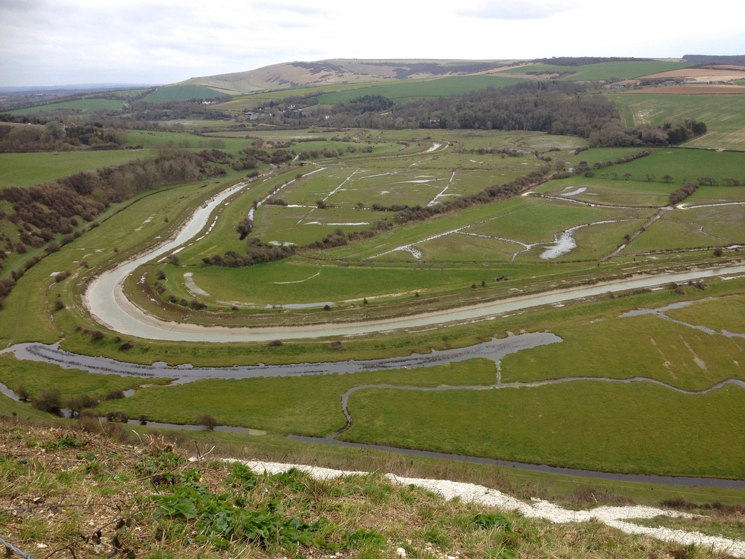
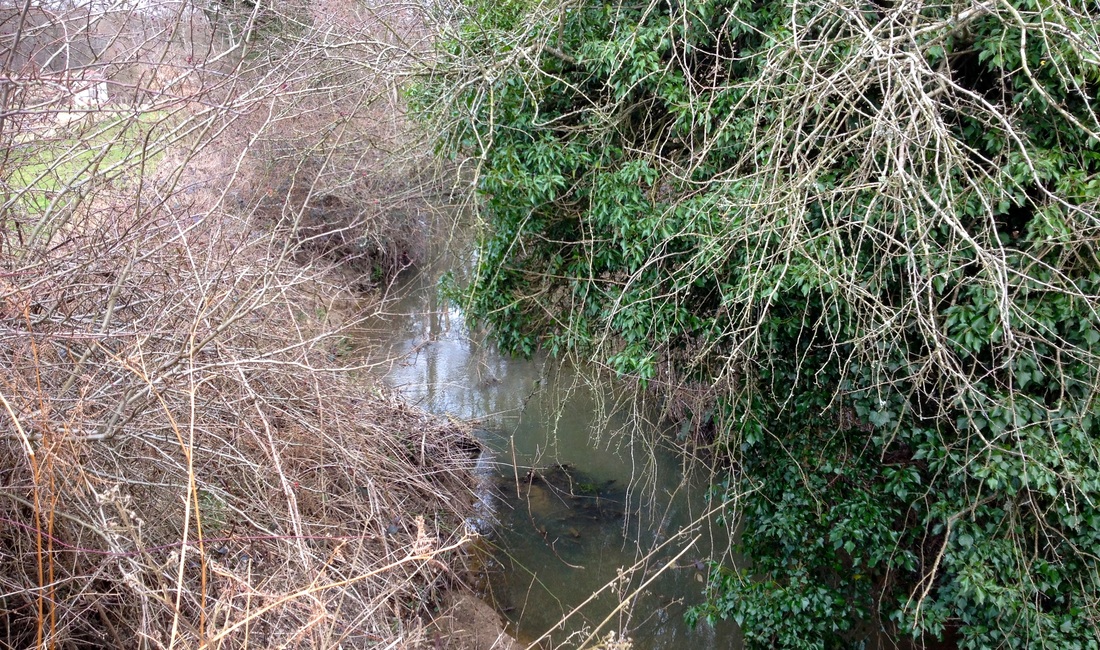
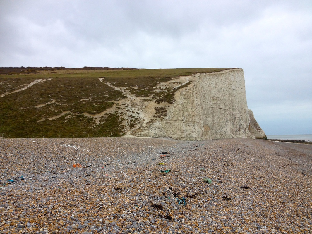 The Cuckmere is the only major river in Sussex that remains undeveloped at the mouth (the Arun, Adur and Ouse are built up right to the shoreline, and the Rother has Rye Harbour just a little way inland). A few old coastguard cottages perch precariously on the edge of an ever-retreating cliff to the west, WWII military remains are dotted here and there and every now and then a fleet of excavators comes down to dredge the mouth (they were at work last week). Apart from these intrusions, and the faint sounds of the A259 between Eastbourne and Seaford at the head of the valley, quiet sheep graze the fields and Cuckmere Haven is a refuge for wildlife. 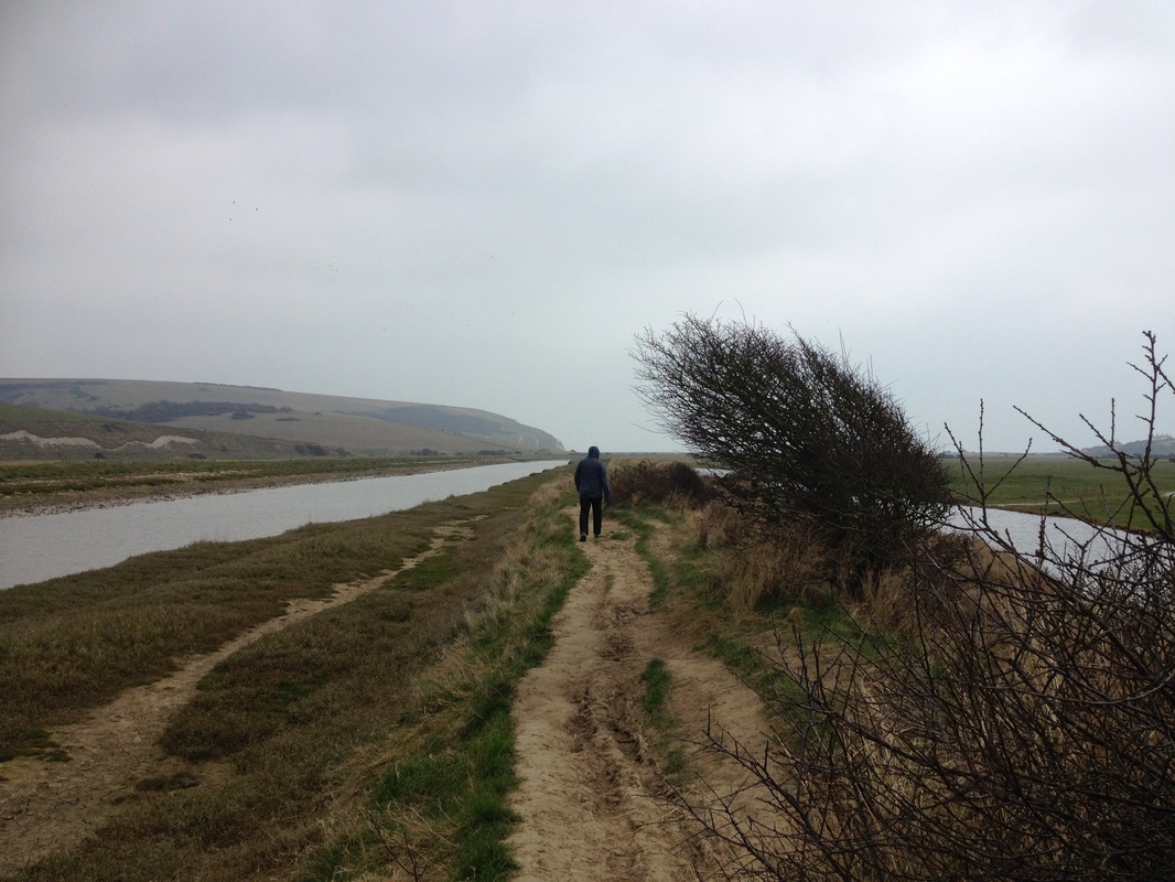 Walking along the straight cut towards the sea. We arrive fairly early and enjoy a lazy wander over the hills, down to the sea, and back along the waterways and paths to the carpark. We poke our noses into an old pillbox/machine gun station, admire views of the cliffs and find some interesting stones on the beach. We also see a lot of rubbish along the tide line and the river banks - washed in by the sea and down along the river. There’s a litter pick arranged by Friends of Cuckmere Haven on the first Sunday of each month, so if you live nearby and are free one month, why not head down to help out? I think you'd fill a bag pretty quickly, unfortunately. 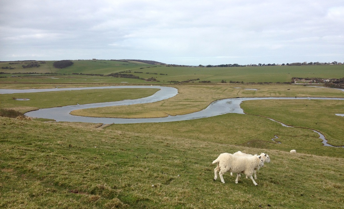 Meanders of the old river at Cuckmere Haven. Cuckmere Haven is a favourite destination for walkers and school groups. The South Downs Way long distance path climbs the hills to the east, giving a fantastic view of the looping meanders of the old Cuckmere alongside the straight cut, built in 1846, that now takes the river directly to the sea. Near the path is a stone marking the location of the parish church of Exceat (or Excete, apparently pronounced rather like “exit”). This small village had a population of up to a hundred in 1332, but this was probably halved by the arrival of the Black Death. In 1538 the church was closed and the two remaining households were incorporated within the neighbouring parish. Had Exceat not disappeared, perhaps this river mouth would now be surrounded by a town, too. 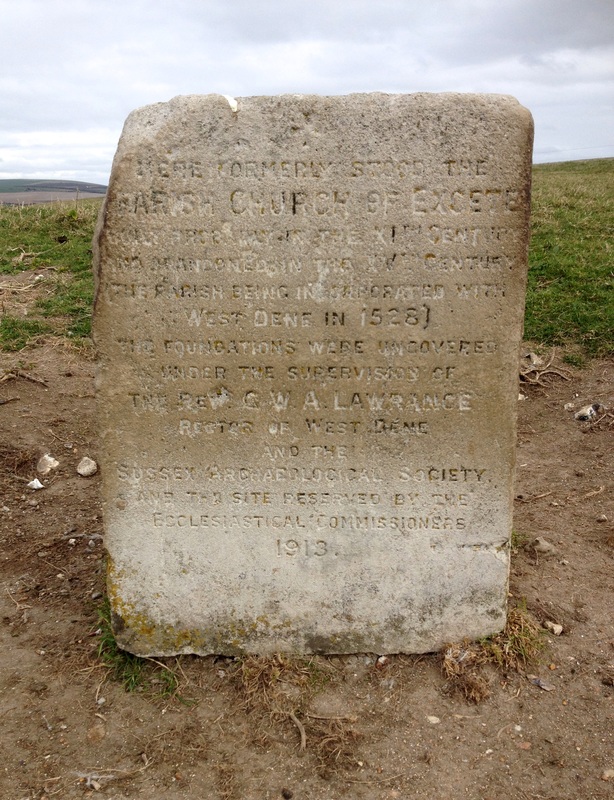 | 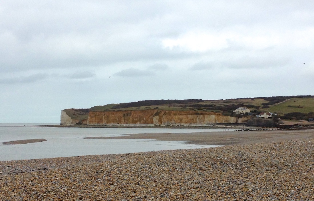 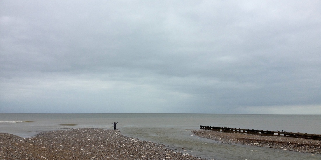 Where the Cuckmere meets the sea. 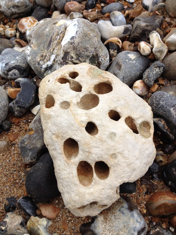 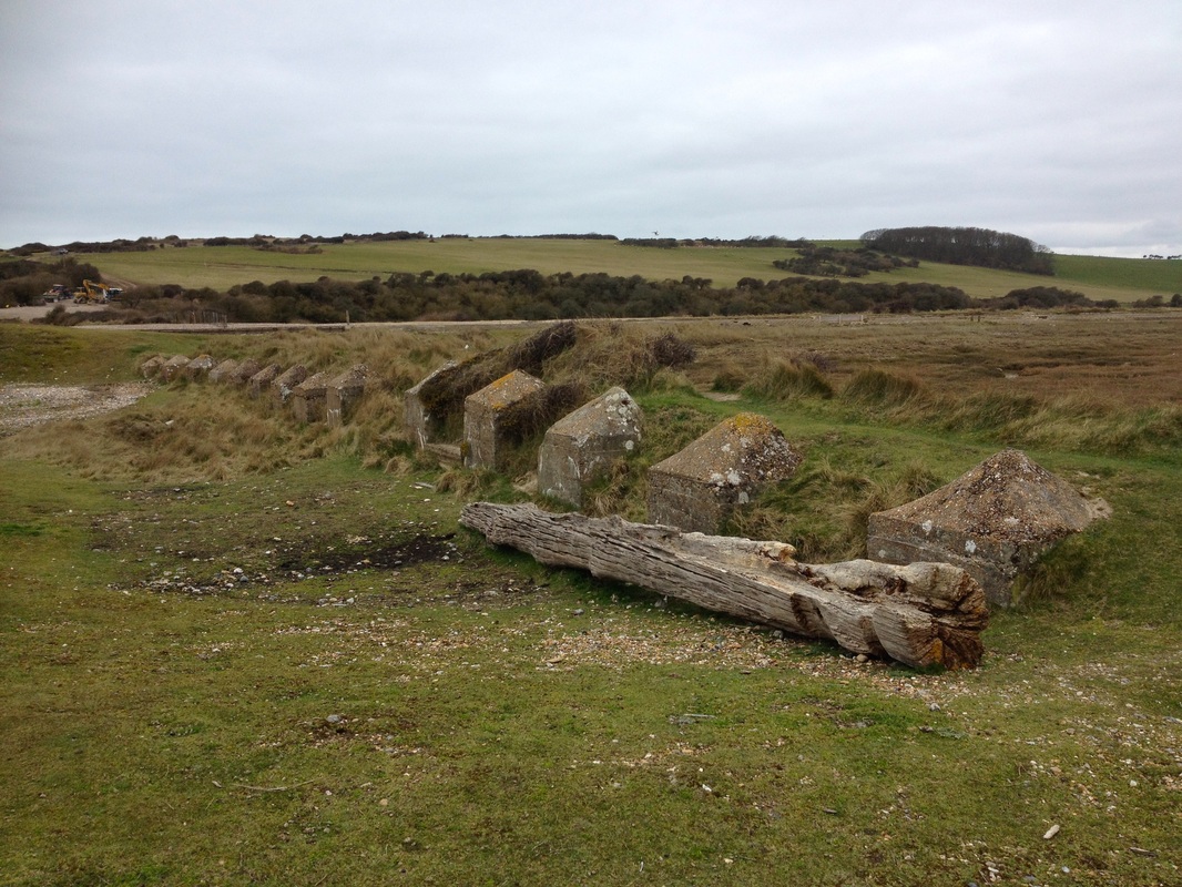 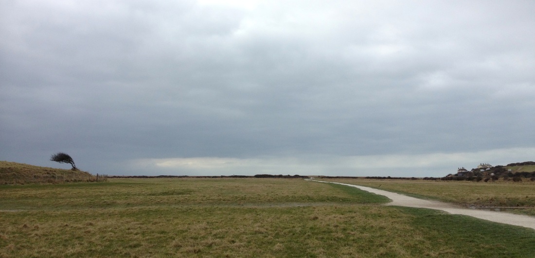 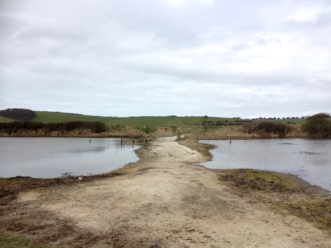   |
South Downs
 View from High and Over (white in foreground is the chalk carving). A couple of miles upstream from the mouth, High and Over Lookout gives amazing, almost aerial, views: out towards the sea both at Cuckmere Haven and west towards Brighton; down into the lush green valley and glinting waterways; east across Friston Forest; and north over a number of tiny villages and into the Low Weald. The lookout perches just above the White Horse, a figure carved in the chalk hillside. The horse, first created in 1838, is a younger cousin to the Long Man of Wilmington just around the corner, which was probably carved a couple of centuries before. Some stout, quiet ponies go about their “conservation grazing” work in a field beside the chalk horse. Half a dozen desperate-looking Duke of Edinburgh Award teenagers sit beside the car park, hiding their heads in their arms.  I could happily spend days exploring this part of the Cuckmere valley. Swans glide over flooded pools, white egrets and big grey herons stalk their prey, geese honk and flap noisily overhead, groups of ducks cackle at all and sundry and countless little birds flit through the reeds. Hand-painted signs warn drivers to look out for toads, which migrate en masse at this time of year, mainly at night. The woodlands are netted with footpaths and cycle paths, while the pretty historic villages offer more laid back options for exploring. Most of the shops, tea rooms, restaurants, pubs and amenities are squeezed together in the picturesquely cramped high street at Alfriston. Alfriston also boasts the thatched Clergy House beside the church - the first property purchased by the National Trust in 1896. There are other pubs scattered around the valley, the Long Man Brewery (they're thinking about opening for public tours), tea gardens at Litlington (open from April), Drusillas Park (if that’s more your thing) up near the A27 and, next door, the English Wine Centre. 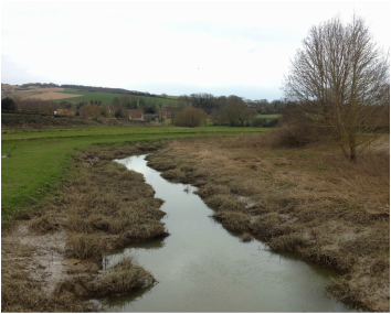 The river at Alfriston. We jump out of the car at Alfriston to watch the river flow under the white bridge and fantasise about living in all the houses we can't possibly afford. The stream looks significantly smaller than the river at Cuckmere Haven. It must pick up a lot of water draining out of the valley between here and there. Back in the car, we head up to the main road, parking in a layby near Sherman Bridge. There’s not much to see, though the river has once again broadened - it’s odd to find it change sizes so quickly. Later, examining my OS map, I notice the little path that leads off from the northwest corner of the bridge goes to a weir. Next time we’ll have to have a closer look! 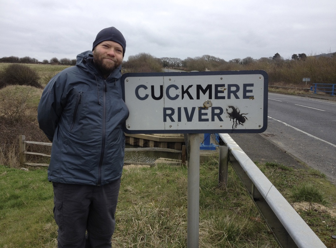 | 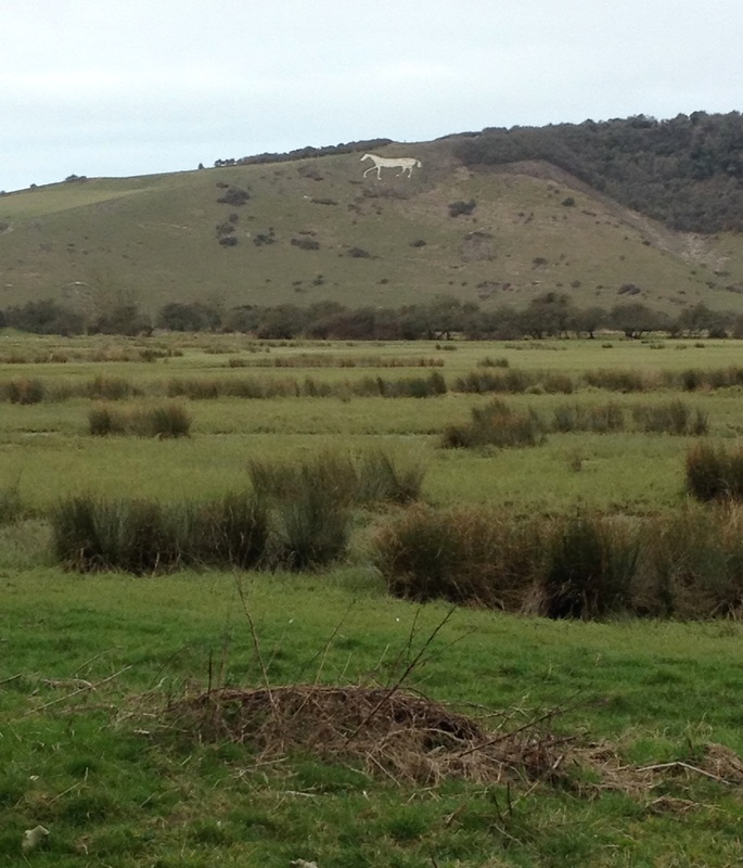  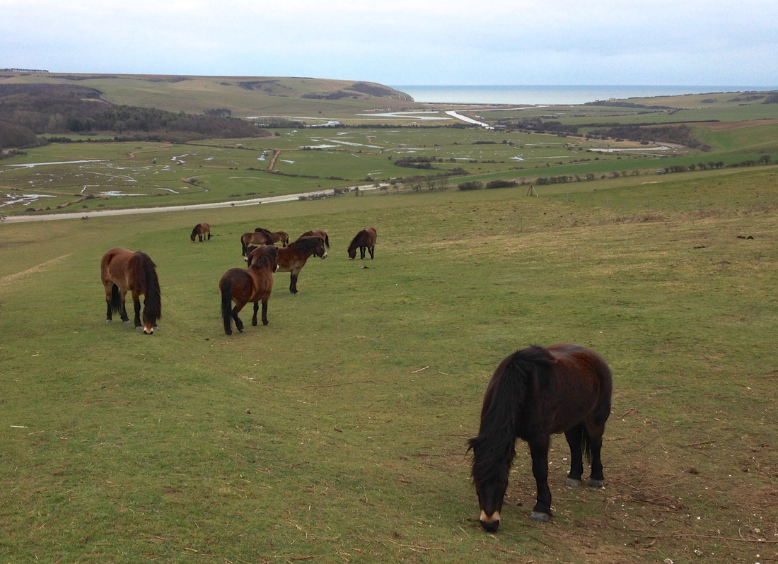 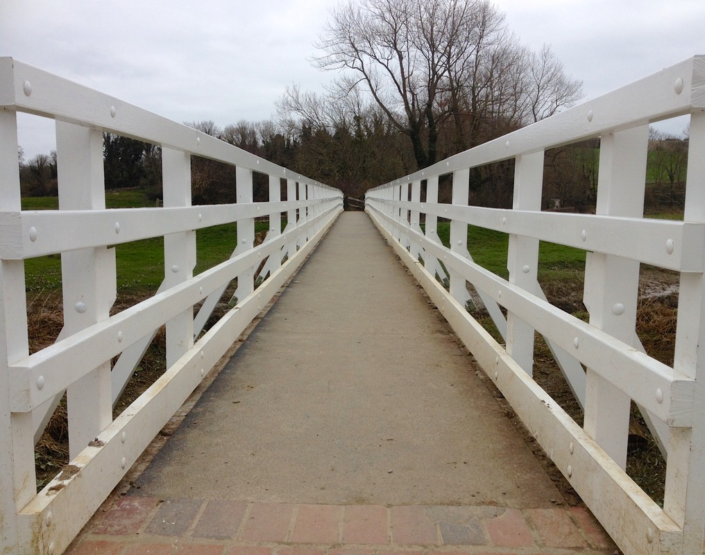 The white bridge at Alfriston.  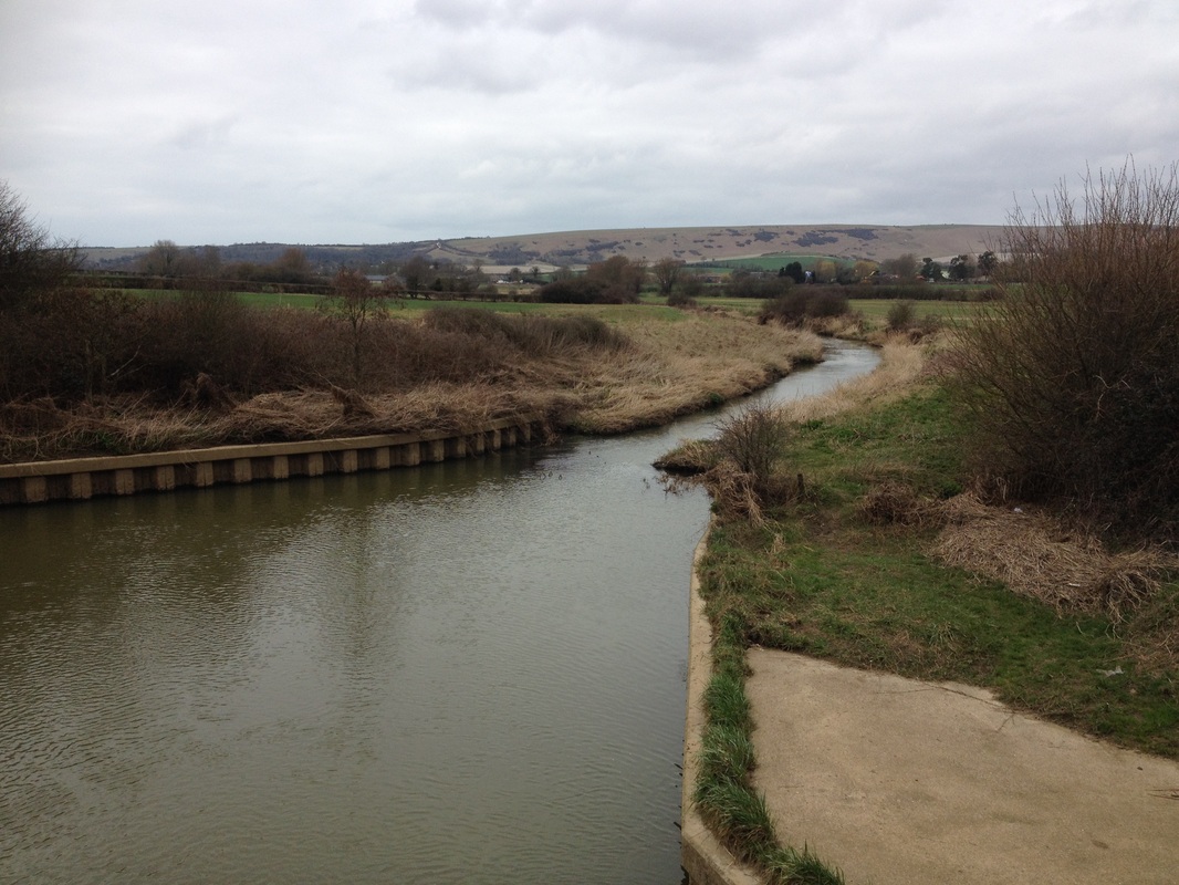 The river at Sherman Bridge. 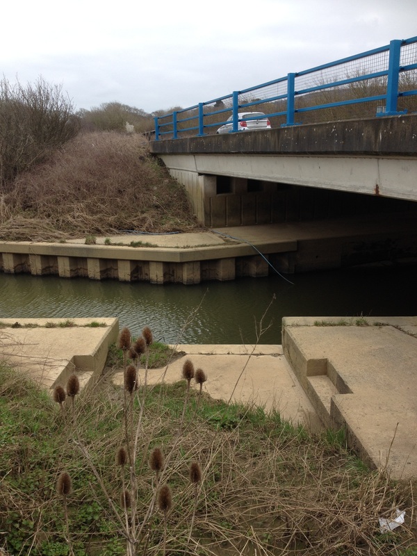 |
Low Weald
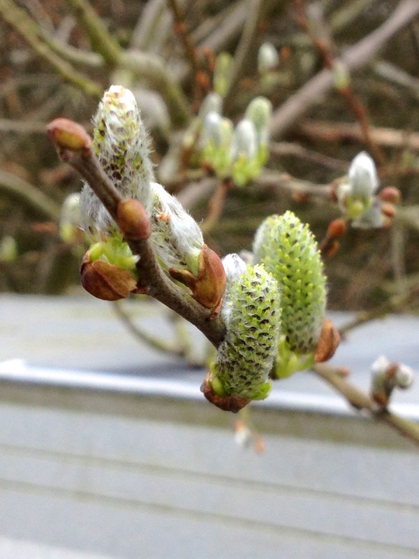 I confess, I don’t really know where the Low Weald begins or ends. I don't even know it exists until I see it marked on the map. We park in Arlington, between the church and the pub. Feeling peckish, we grab our picnic blanket and trusty camp stove from the boot and head out on a footpath to the riverside. We set up near an arched footbridge and spend a few quiet minutes watching the greeny-brown water go by. Overhead, willow catkins mark the start of spring. We rub them between our fingers and they feel soft, like warm summer air. The sun almost comes out. Perfect. After our tea and biscuits, we walk over to Arlington Reservoir, which was built in a former meander of the Cuckmere and is now classified a Site of Special Scientific Interest. We’ve walked around it before, so this time we’re content to gaze at it for a while and head back. 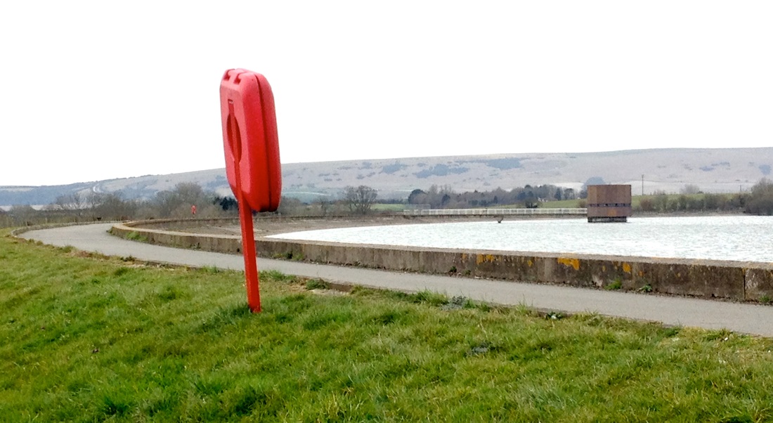 Arlington Reservoir, built in an old bend of the Cuckmere. Going on a driving tour is a pretty rare experience for us. It’s nice to be on a relaxed schedule, too. We turn down interesting-looking lanes without weighing up how long each detour will take, how annoyed we’ll be if we don’t find anything at the bottom of the hill, or how hard it will be to climb back up. We pull into Michelham Priory and take a peek at the watermill, which they’ve restored and now use to grind flour. We go on a quick hike around Bede’s playing fields and through a horse paddock to find the Cuckmere just before it flows into the Michelham Priory moat. We look at the river from the bridge at Horsebridge, spotting (and failing to photograph) the ruins of the old flour mill. We go on a meandering cruise through Hellingly and find a probably-now-ornamental water wheel and mill race beside a house close to the Cuckoo Trail. 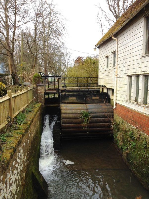 A mill race near Hellingly. We decide to get chips for lunch, to complement our homemade salad, but the chip shop in Horsebridge is closed - as, apparently, are all the proper chip shops in Hailsham. This travesty turns out to have a silver lining, though, because we discover Bebble's Langos. We eat two ridiculously tasty fried breads, toppings scattered over them like a pizza, finished with lashings of garlic sauce. It is a bit of an oil extravaganza, but so good. I’m a bit overwhelmed and I have to have a quick nap in the car. I think we will return to Hailsham for more langos (but maybe not for a few weeks, I need to recover)!  | 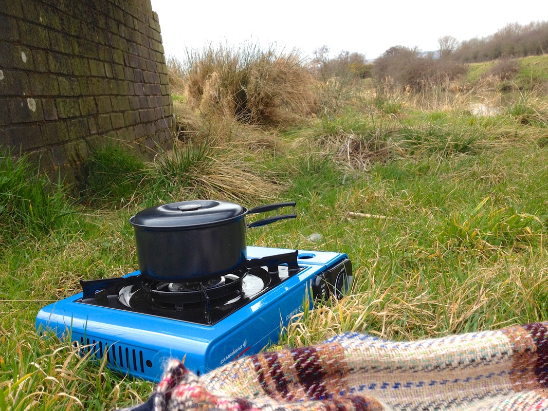  Making a cup of tea beside the river at Arlington. 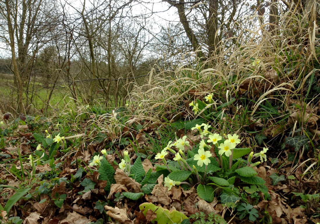 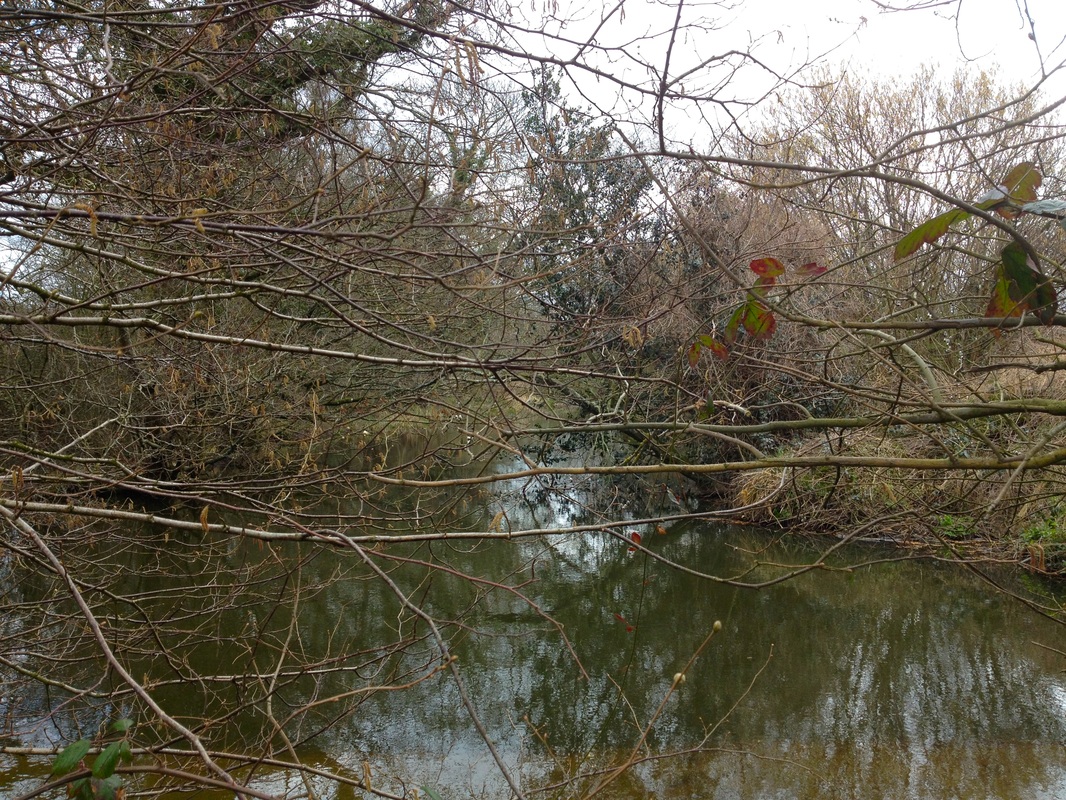 The river near Michelham Priory.  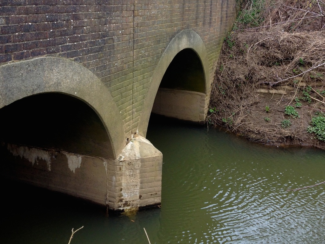 Horsebridge.  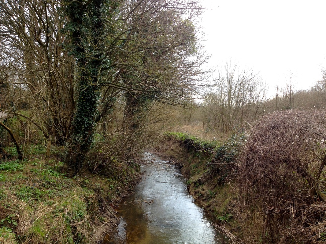 The Cuckmere near Hellingly. 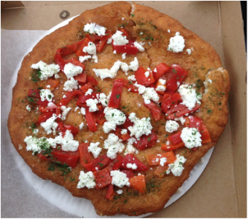 |
High Weald
 At Sheepwash Bridge. It's time to choose which tributary to follow up into the High Weald. There’s a lake to the north west near Cross in Hand, feeding a stream that flows down to the Bull River, which in turn passes through Chiddingly before joining the Cuckmere proper; there’s Vines Cross stream, which rises in Heathfield Park, almost directly north of here, and flows past Warbleton, joined by other gills and streams on the way… But we decide to head north east - partly because that takes us closer to home, partly because this is the arm labelled “Cuckmere River” on our map and partly because the names are so beguiling: Flitterbrook, Rushlake Green, Three Cups Corner. We enter hillier country, making a short detour to Sheepwash Bridge to be underwhelmed by a little watercourse in a ditch much overgrown by brambles. 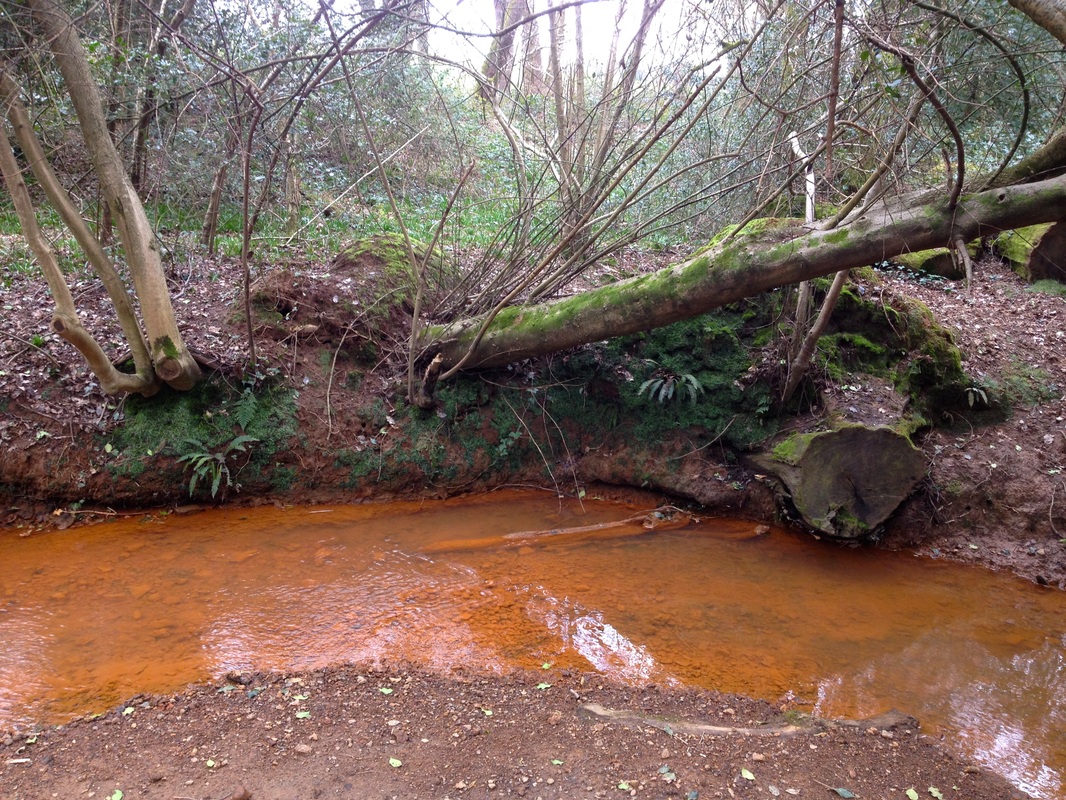 The Flitterbrook - one of the tributaries of the River Cuckmere. At Rushlake Green, we head down the steep hillside from the end of the enormous, eponymous green to find one of the Cuckmere's tributaries: the Flitterbrook. At the bottom of the valley, we’re greeted by a bright rust-orange stream. The first time I saw this phenomenon, a couple of months after moving to East Sussex, I thought there was some horrible pollutant in the water. I now know better: it’s iron. There was an iron industry in the High Weald from pre-Roman times and its history can still be read on maps. Look for words like Pond Bay, and Bloomery, or names like Forge Cottages and Furnace Lane. There’s an “Ironworks (site of)” marked here, so we pretend to be knowledgeable archeologists and look for lumps and bumps. Unfortunately, there are no BBC graphics in sight, so history remains hidden. Further along the field, someone has attached a rope to a few trees, leading down towards the stream. “Well,” says Dan, “If someone’s gone to all that effort, it would be rude not to follow it.” To our delight, the rope leads us to a tiny, iron-rich spring, bubbling straight out of the earth. I lick a few drops from my fingers and find it tastes, unsurprisingly, like an iron railing or blood. We’re pretty stoked about this unexpected discovery - it’s everything we could want from a source of the River Cuckmere!  An iron-rich spring - one of the sources of the River Cuckmere. Finally, it’s up Flitterbrook Lane to Punnett's Town and east to Three Cups Corner and The Three Cups Inn. I’d always assumed this settlement (or crossroads) was named after the pub or vice versa. I’d never wondered where the name "Three Cups" came from in the first place. Mystery solved: tributaries of three rivers rise at this point - the Cuckmere, the Dudwell (which joins the River Rother and runs out to Camber Sands, near Rye) and Christians River (which joins the Ashburn and runs out across the levels to Normans Bay near the Star Inn). It seems only right to mark the end of our journey here, so we stop at the packed pub and share our favourite bits of the day over a quiet half pint. 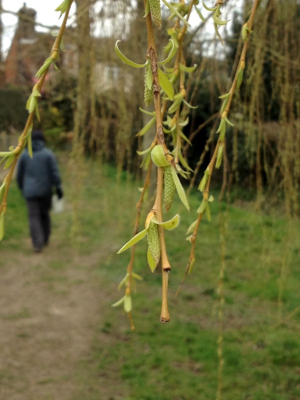 |   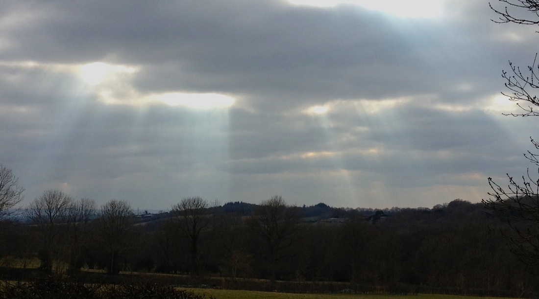 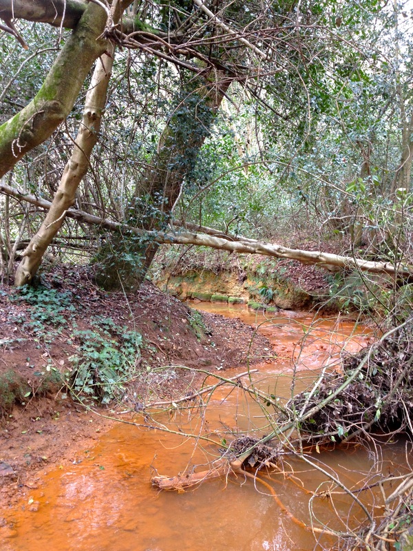 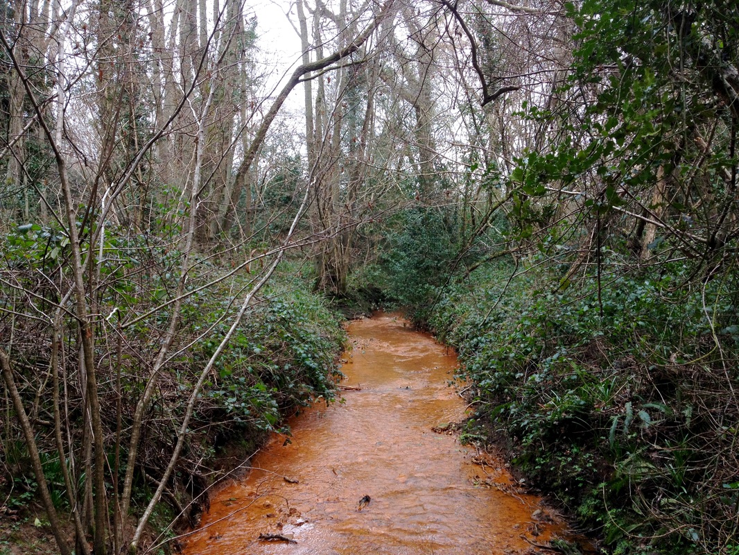 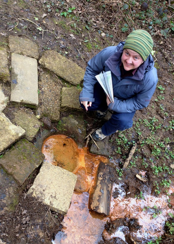 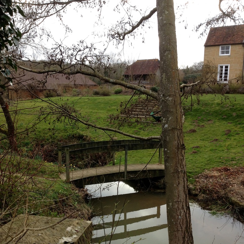 The Flitterbrook near Punnett's Town, running through someone's garden. 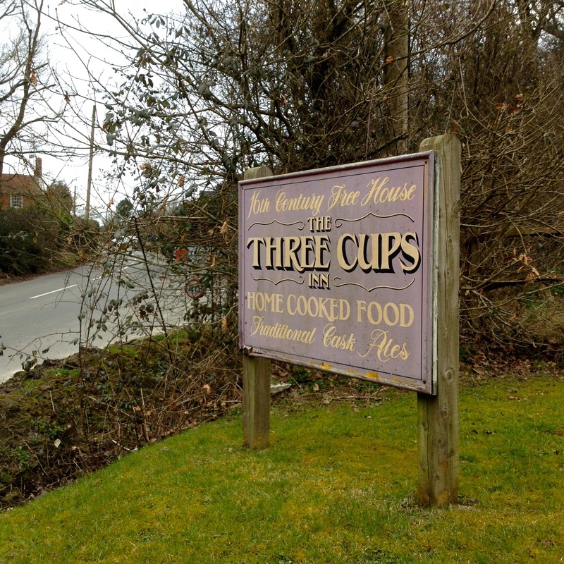 |
This microadventure cost about £21.40 for the two of us, including petrol, langos, drinks and snacks.
I hope I've inspired you to get out this weekend and spend some time beside, in or on a waterway! I'd love to see your photos, videos or artwork, or read your stories or poems about your local creek, lake, river, beach, pond, waterfall or reservoir.
 RSS Feed
