So much for easing into things… This 3 hour stroll accidentally turned into a 5½ hour hike, in which we saw a little more of the bush than we intended!
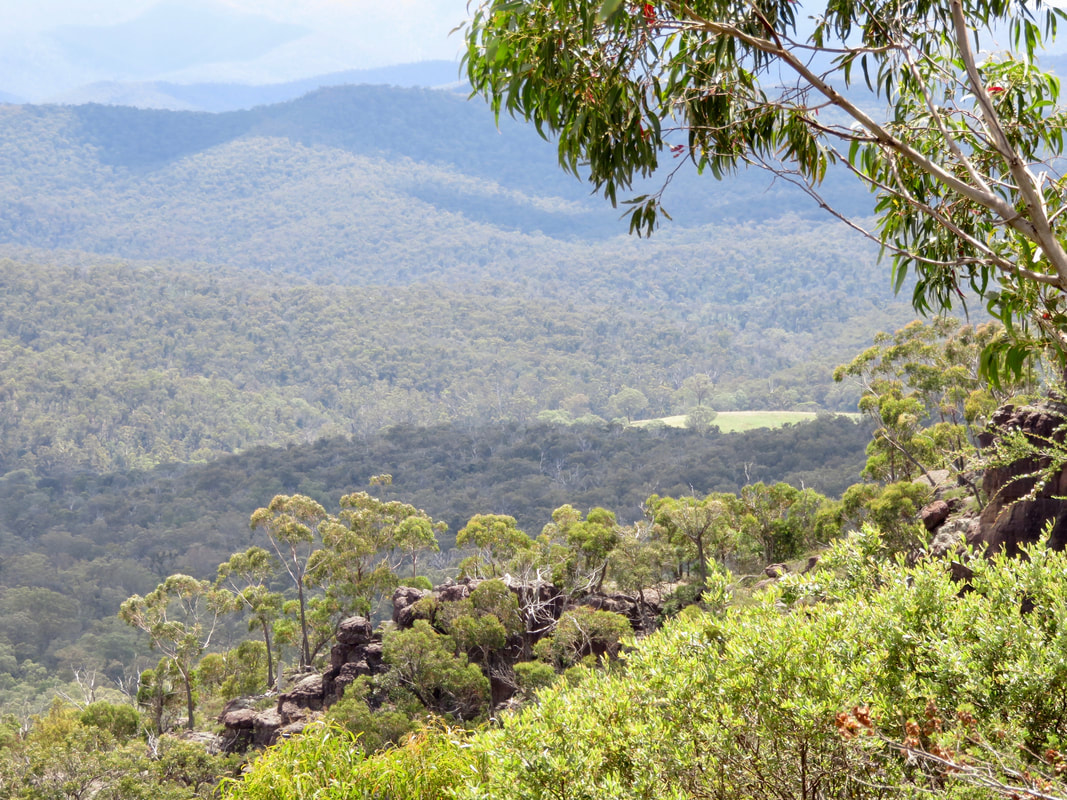
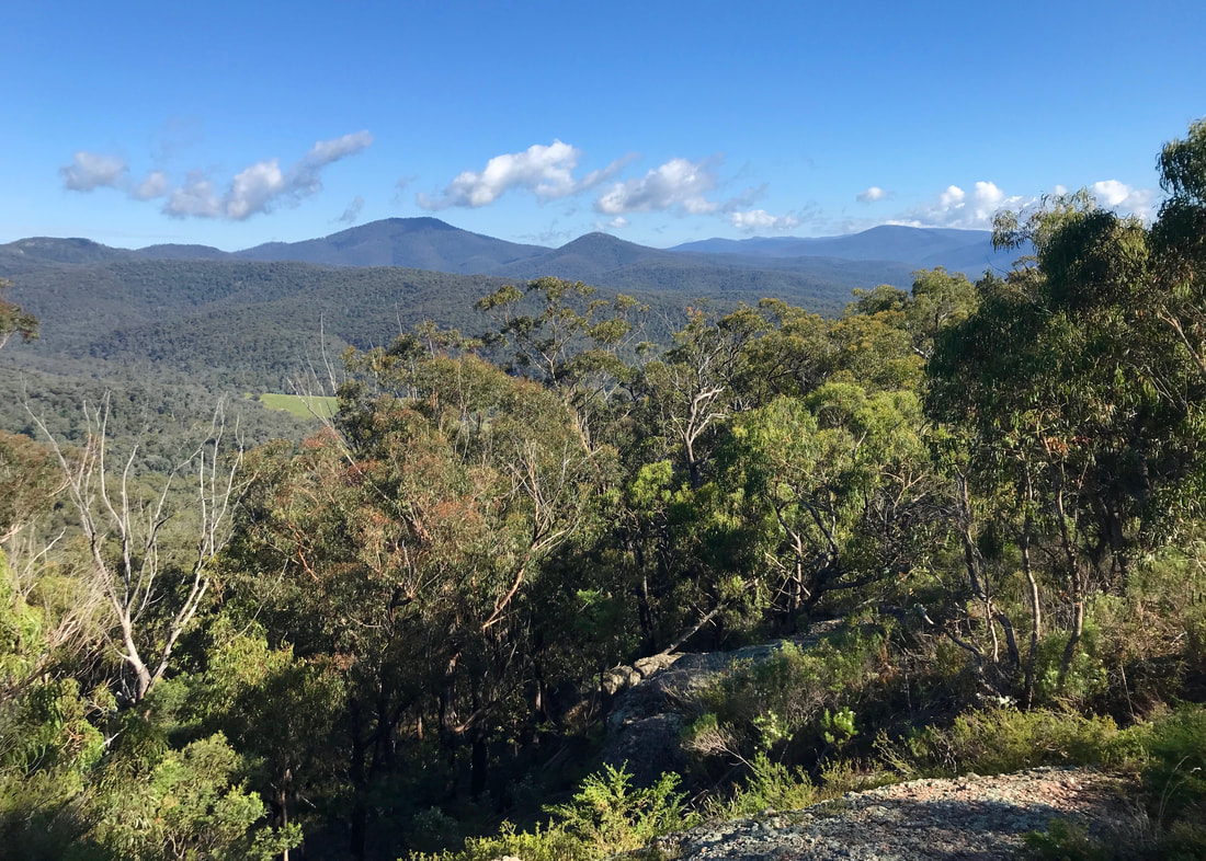
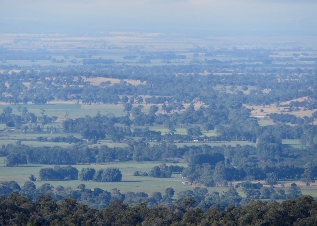
On the bright side, if we hadn't gone the wrong way, we wouldn't have got this specific version of the view.
After a week of rain, rain and more rain, it was time for an outing. Dan and I were meant to be visiting a friend on Saturday but, due to complicated Covid things, we had to postpone. (Don’t worry, we’re fine for now - in fact we got our third doses this week!) Instead, we brought my folks along for a walk at Mount Hedrick in the Avon Wilderness Park. Well, I say we brought them along, but really Dad drove us up there in “the big car” in case the roads were a bit crappy after all the rain. We had what looked like a 3-4 hour window before it was going to storm, so we started the walk earlyish - around 8:30am.
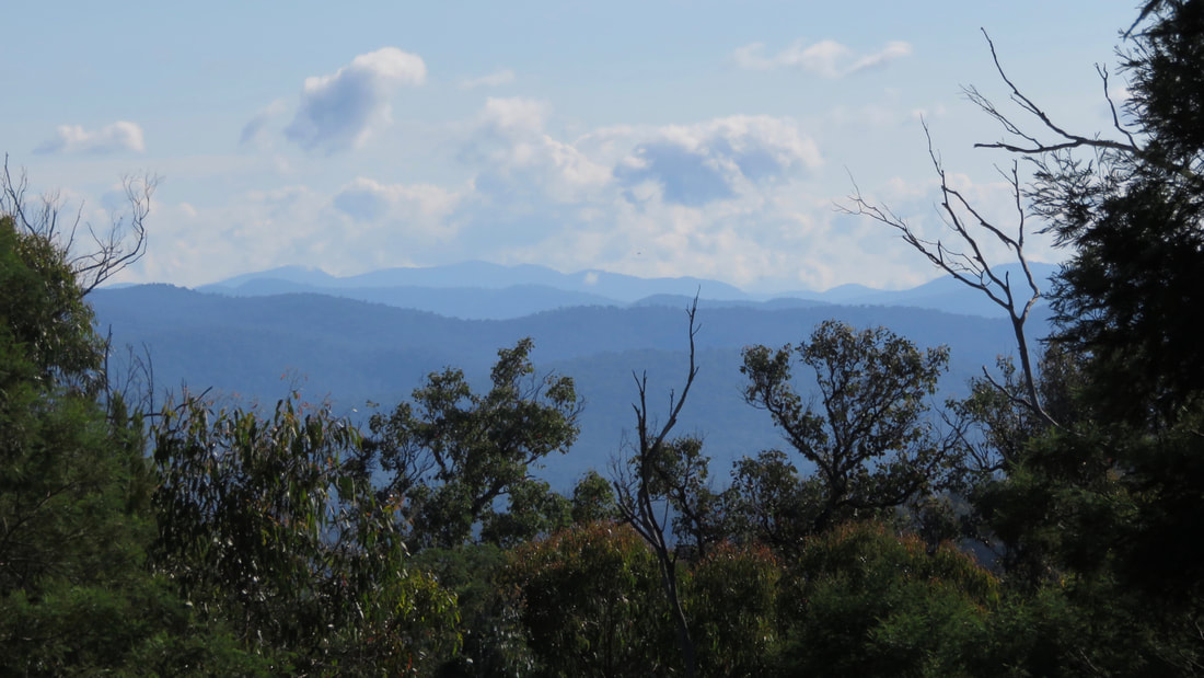
The hills of the Avon Wilderness stretching as far as the eye can see.
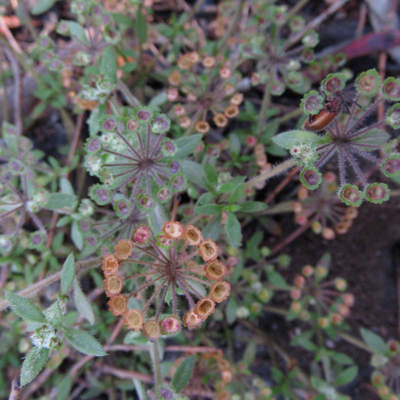 We saw tonnes of these cool little plants. | 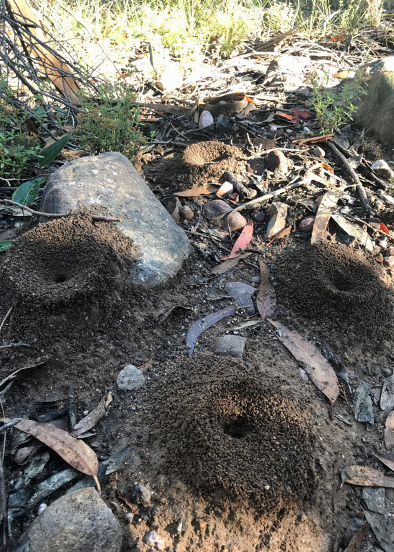 Yep, definitely back in Australia! |
I’ve been trying to find my way around AllTrails. It seems to work OK for me on the browser, but I can’t log into the app. Anyway, I saw a couple of routes on there, but decided to make my own approx 10km loop based on data from AllTrails and from the info sheet from a Victorian Government website (which I now realise is from 2004, when DELWP was the DSE). On paper the walk looked pretty simple, and I just assumed that it would be a well marked trail. However, we missed a turn-off, which was not signposted, and ended up taking a bit of a detour on a path that was not marked on any of the maps. Although we were all fine in the end, it did add a couple of kilometres and a pretty steep - but spectacular - ascent to the top of Mount Hedrick.
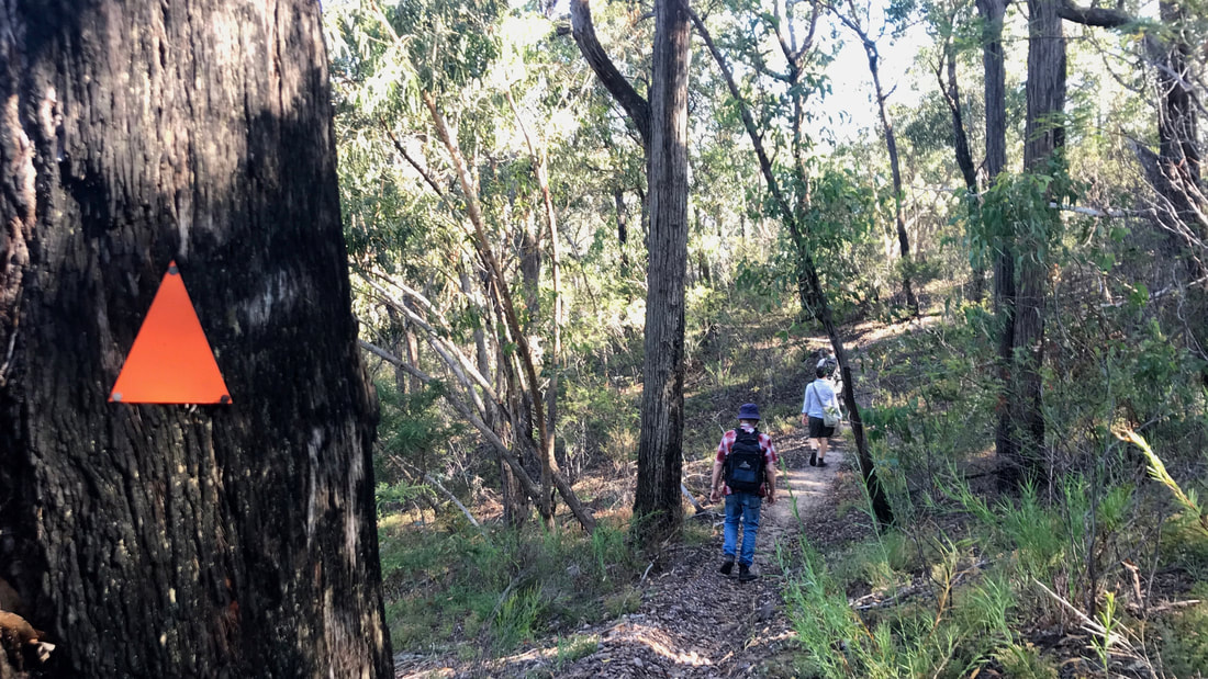
This is the way. (It really was... If only there was a little more information on some of these blazes!)
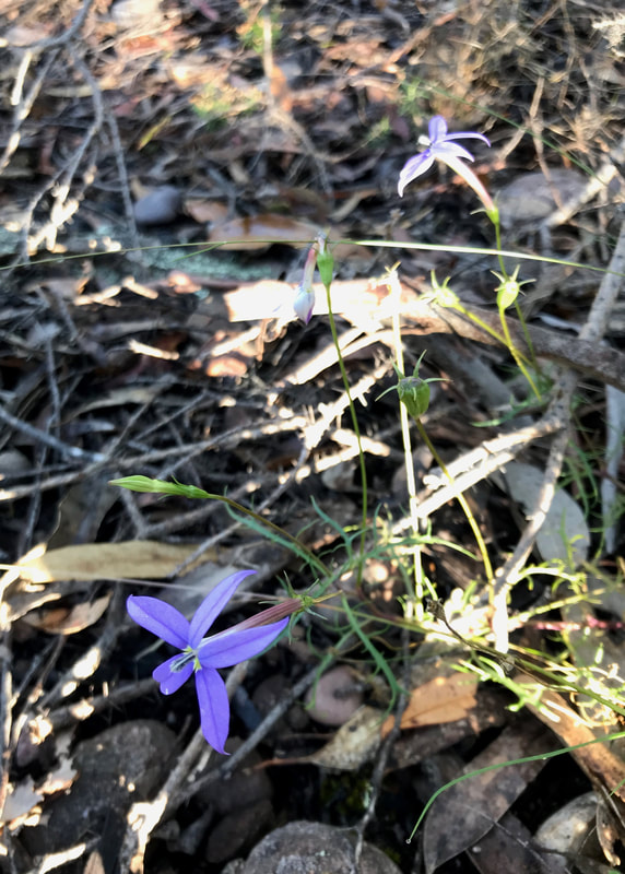 If you like purple flowers, this is the walk for you. | 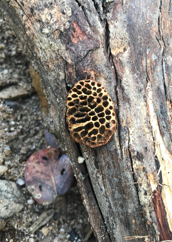 A tiny honeycomb - from some kind of tiny bee? |
Rather than doing a full description, here’s a list of things we discussed towards the end of the walk - things that went well vs things to learn from.
I'm keen to explore a lot more of this area, and this was a good start!
Good things
- There were loads of different wildflowers.
- Also huge numbers of butterflies.
- Really interesting rocks - the round stones indicating ancient riverbed, conglomerate boulders, etc
- We had extra sunscreen with insect repellent, so nobody got burnt or eaten.
- Although we went off-route, we were able to reorient ourselves pretty easily (once we had a bar of 4G!)
- We had brought more water than we thought we’d need - which turned out to be enough… just.
- We had a snack with us and a picnic waiting in the car.
- Amazing views at different points, looking into the hills and out onto the plains.
- For me, the scrambling up the rocks to the top of Mount Hedrick was an absolute highlight, and I can’t wait to head out there again!
- Although we were pretty hot and bothered, we took our time, stuck together and kept in pretty good spirits.
- Despite the forecast, no rain eventuated - I’m glad we weren’t hauling ourselves over those boulders in a thunderstorm!
- We didn’t have anywhere we needed to be, so there was no stress around us taking more time.
- We all made it without any emergencies!
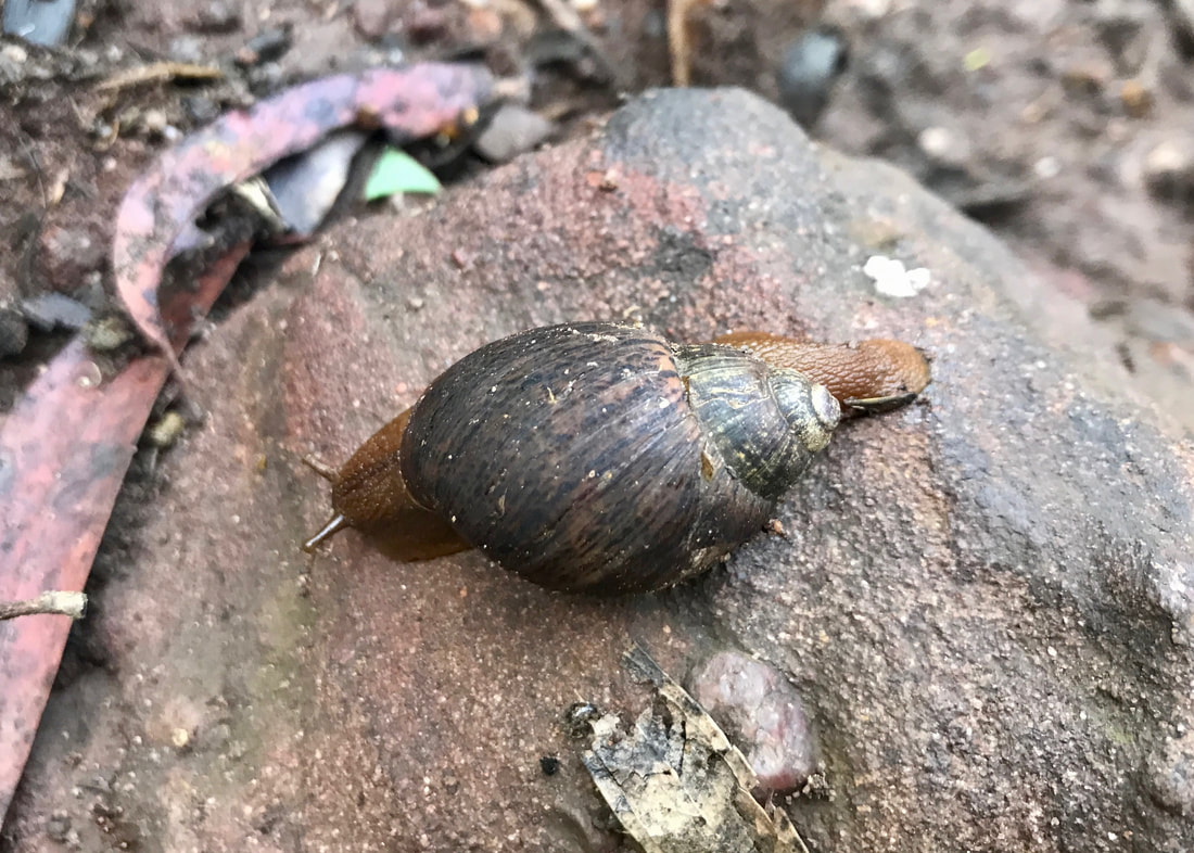
A very handsome native snail.
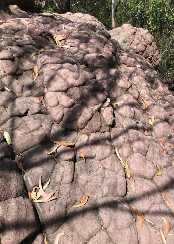 How cool is this rock!? | 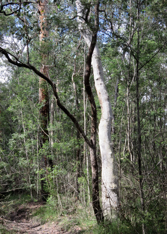 Black and white in the bush. |
Things to learn
- I haven’t done much bushwalking in this area, and my assumption from reading the info sheet was that the whole loop trail (not just the walk from Huggetts Lookout to Mount Hedrick) would be well signposted. Now I know not to assume and to pay more attention to the contour maps before I leave. AllTrails relies on internet connection or a DLed map and we were out of range at the point where we missed the turning, and the info sheet doesn’t have contours. I don’t think we would have missed the turnoff (or we would have turned back) if I’d had a better idea of the geography of the area.
- Bring the PLB, just in case. At some point I’ll be deciding on a tracker (Garmin InReach or InReach Mini) and will bring that along on my walks, too. If it’s the InReach, I can load maps and trails into it to help keep on course.
- Carry an antihistamine in my first aid kit (for other folks more than for me) - and always remember to actually bring said kit!
- Bring extra snacks. We were fine, but it would have been nice to have something else to go around.
- When unsure of your location or cranky and overexerted, sit down and have something to eat and a sip of water. I mean, we know this and we did it, but it’s worth reiterating!
Hopefully I'll get back up here on an even clearer day - and maybe I'll bring some binoculars, too!
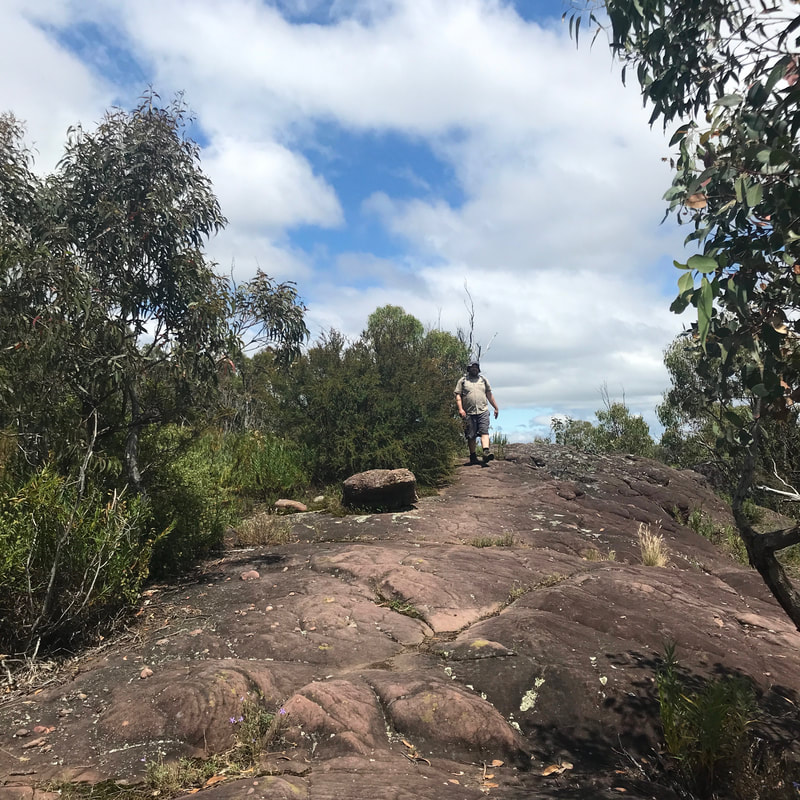
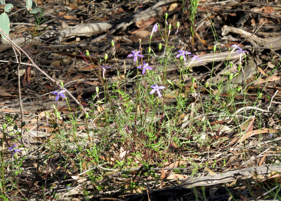
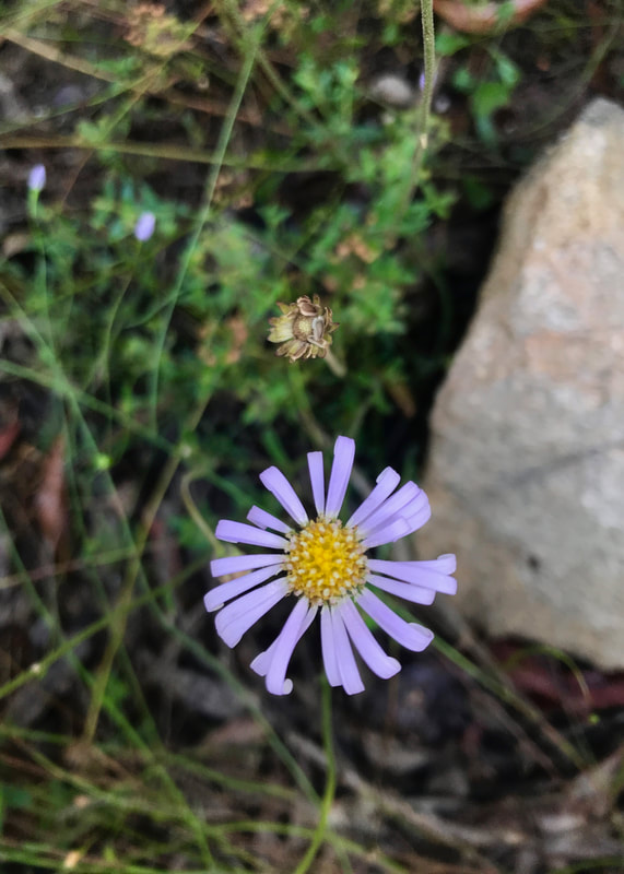 Purple daisy. | 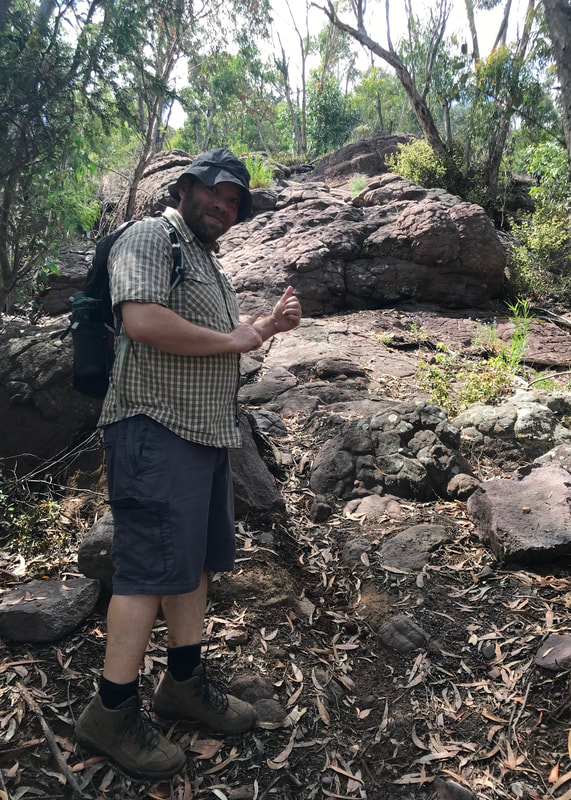 Dan indicating where the path goes next! |
Notes
The walk ended up being approximately 12 kilometres long, with just under 500 metres of ascent, and it took us 5½ hours. We did go very slowly up the steep side of Mount Hedrick and other slopes, making sure my 70 year old (!) parents were doing OK! As well as the ups and downs, the surface of the trail included sandy gravel road, paths with lots of loose former river stones (ankle breakers), sections of slightly overgrown track, a few blowdowns to negotiate, and some fairly easy rock scrambling. The temperatures were in the mid-20s, and it was very humid.
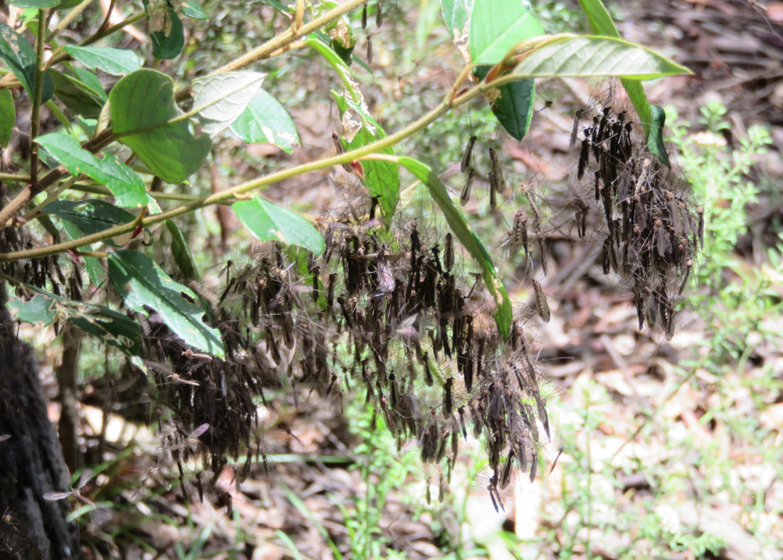
These clusters of insects are kinda cool and kinda creepy looking!
 Finally, on the way back down the hill! | 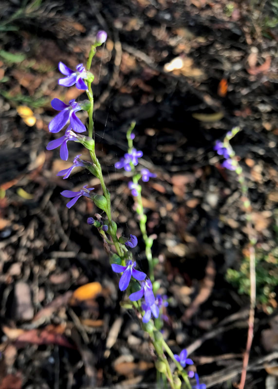 Another purple flower. |
The variety meant that although this walk was a lot more strenuous than last week’s, I didn’t have the same kinds of aches to contend with. Although I forgot to buy tape for my second right toe, I only got a small blister. Once again, I forgot to wear my sunglasses (even after I went back to get them!), but it was fine on the headache front - possibly because the path itself was often in shade or covered in leaves, rather than bright and reflective. I should remember to bring the poles for hikes like this - could have been quite handy on some of the uneven surfaces and hills. Other than that, just the usual residual achiness of feet, ankles and calves. In fact, the next day, I can really feel that my lower leg muscles have done a lot of ankle stabilising - ow!
Just in case you hadn't had enough of purple flowers...
I would definitely do parts of this walk again with friends. It could also be a good training walk with a loaded pack - maybe even doing a double loop of the original plan when I’ve worked up to that.
This walk is on the Country of the Brayakaulung (Gunaikurnai) people. Their sovereignty was never ceded and this always was and always will be Aboriginal land.
 RSS Feed
