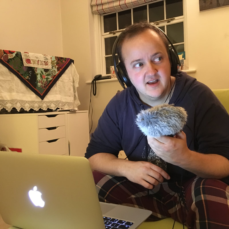
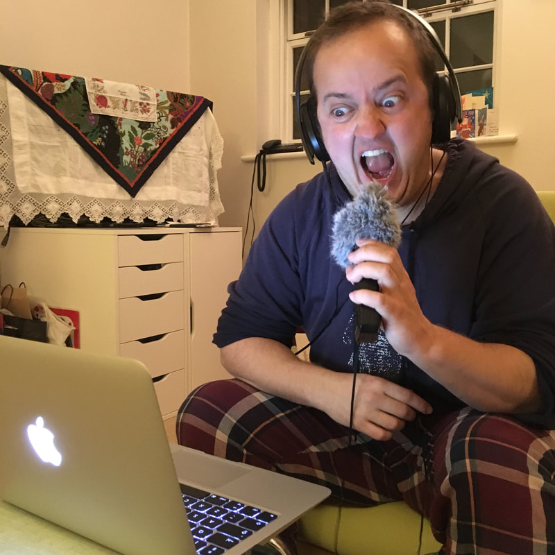
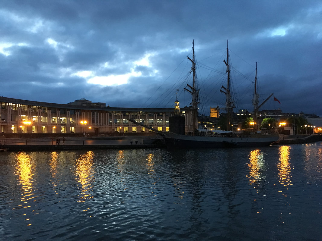
I could post about lots of things, but I've been far too busy doing stuff to actually get around to blogging. Instead, let's have another photo update - this time for June. 
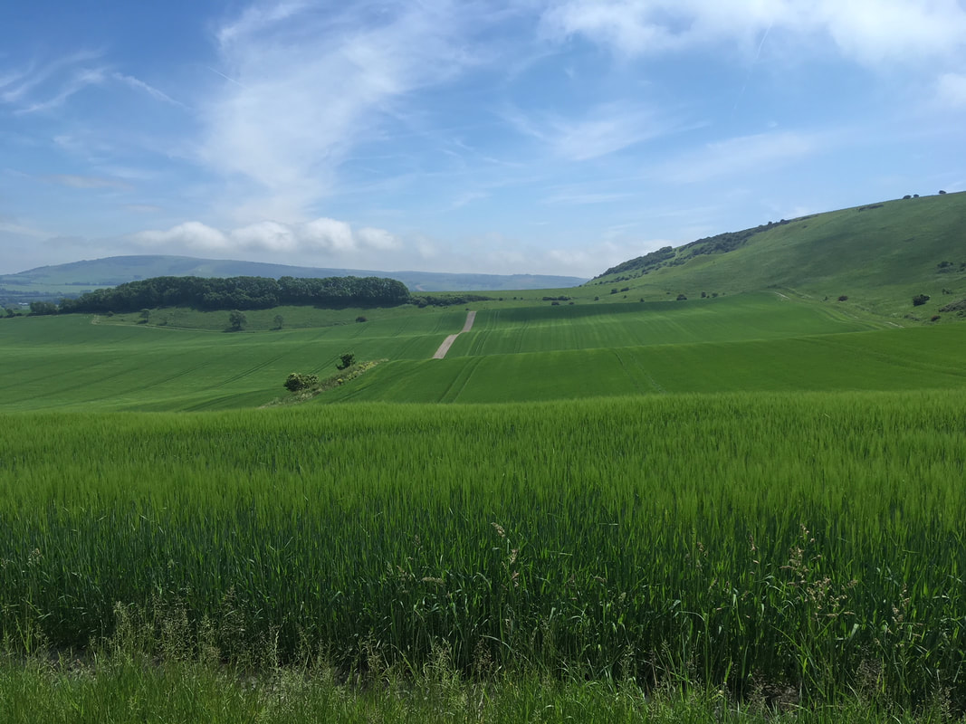
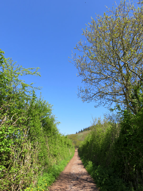
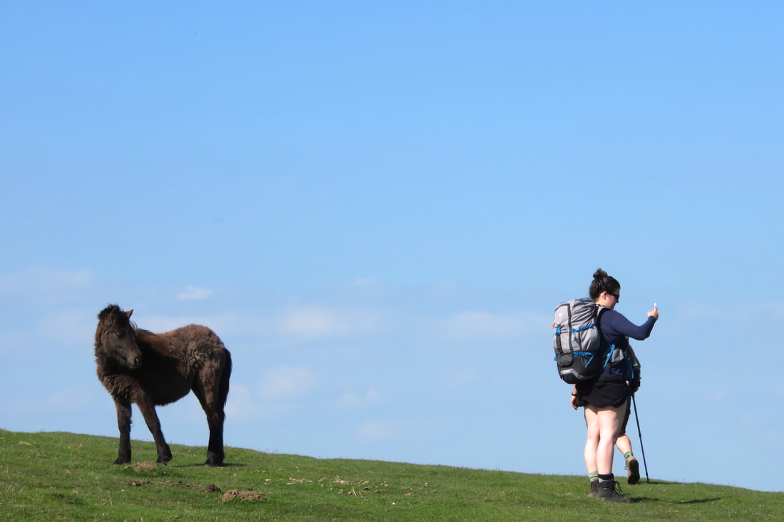
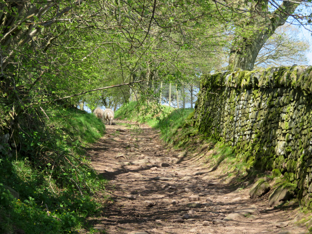
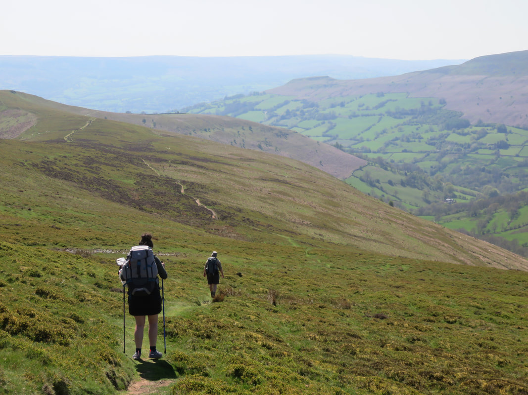
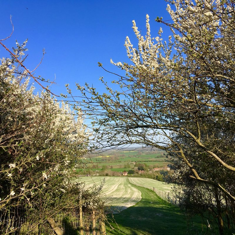
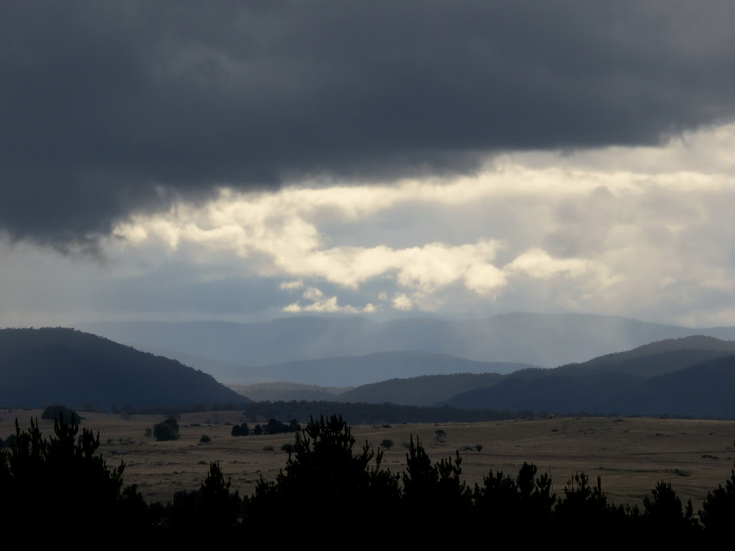
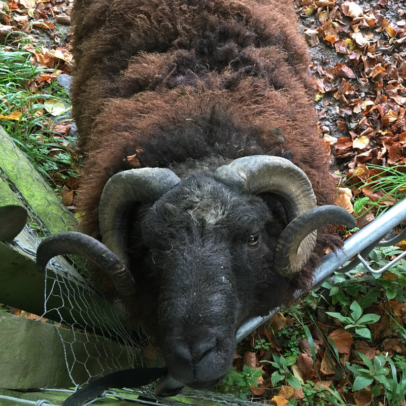
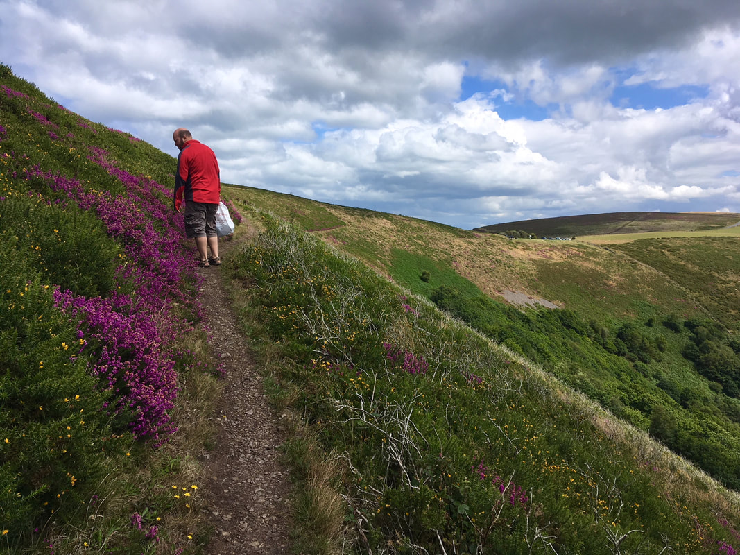
2 June 2018 - We went for a walk with one of Dan's colleagues up on the South Downs near Alfriston. It was nice to meet her and her partner and hopefully we'll go for another walk with them soon. I really enjoyed taking a new-to-us bridleway cutting down the hills - a slightly sunken green path that sees only a fraction of the traffic that passes above on the ridge, stuffed with wildflowers and interesting insects. 
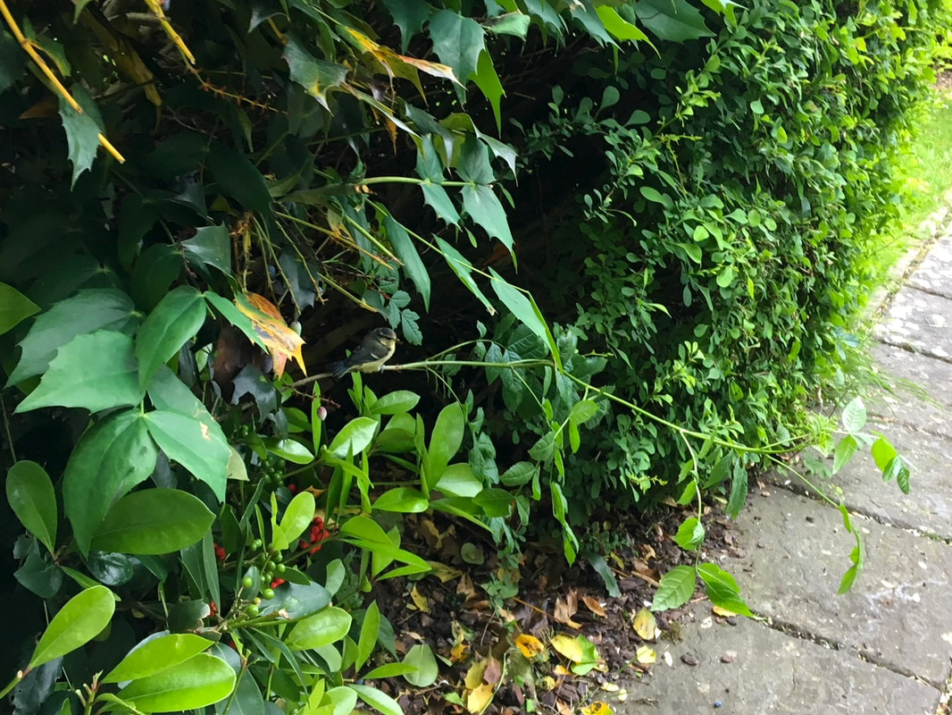
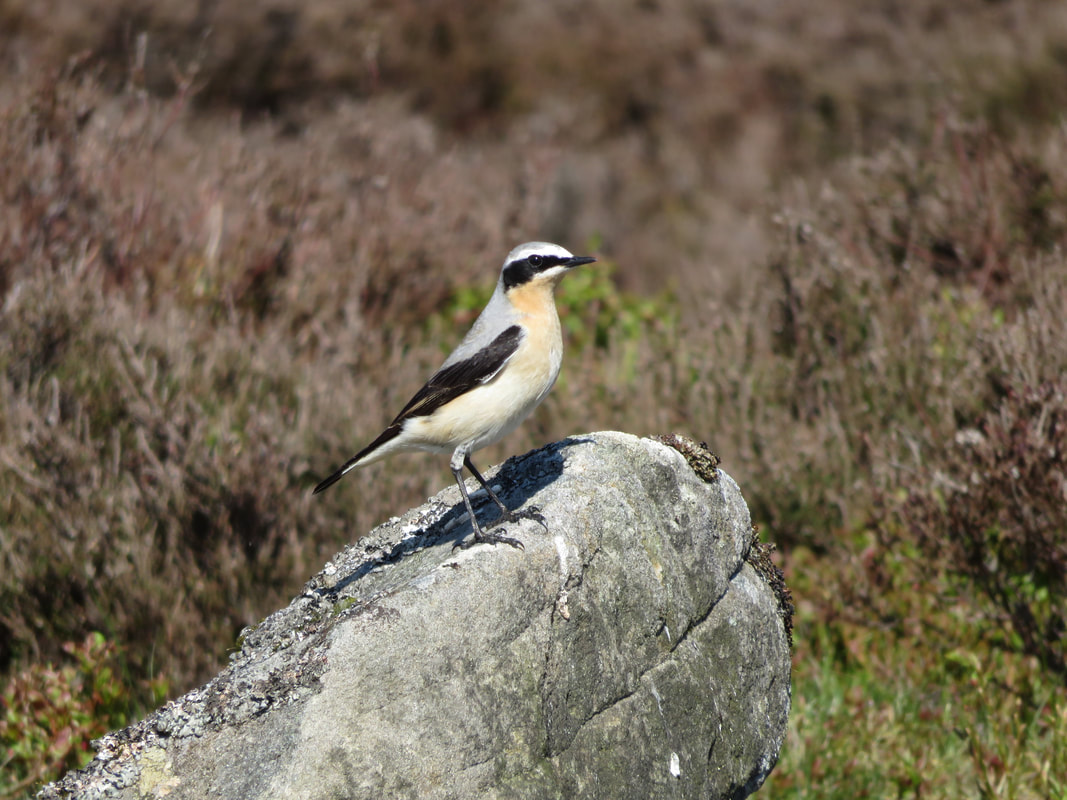
5 June 2018 - We saw lots of little fledgeling birds in late spring and early summer. This cutie was sitting here when we opened the front door and it took a little while for it to move. A pair of grey wagtails nested in a hanging flowerpot in the other courtyard and we watched them for days from the window. 
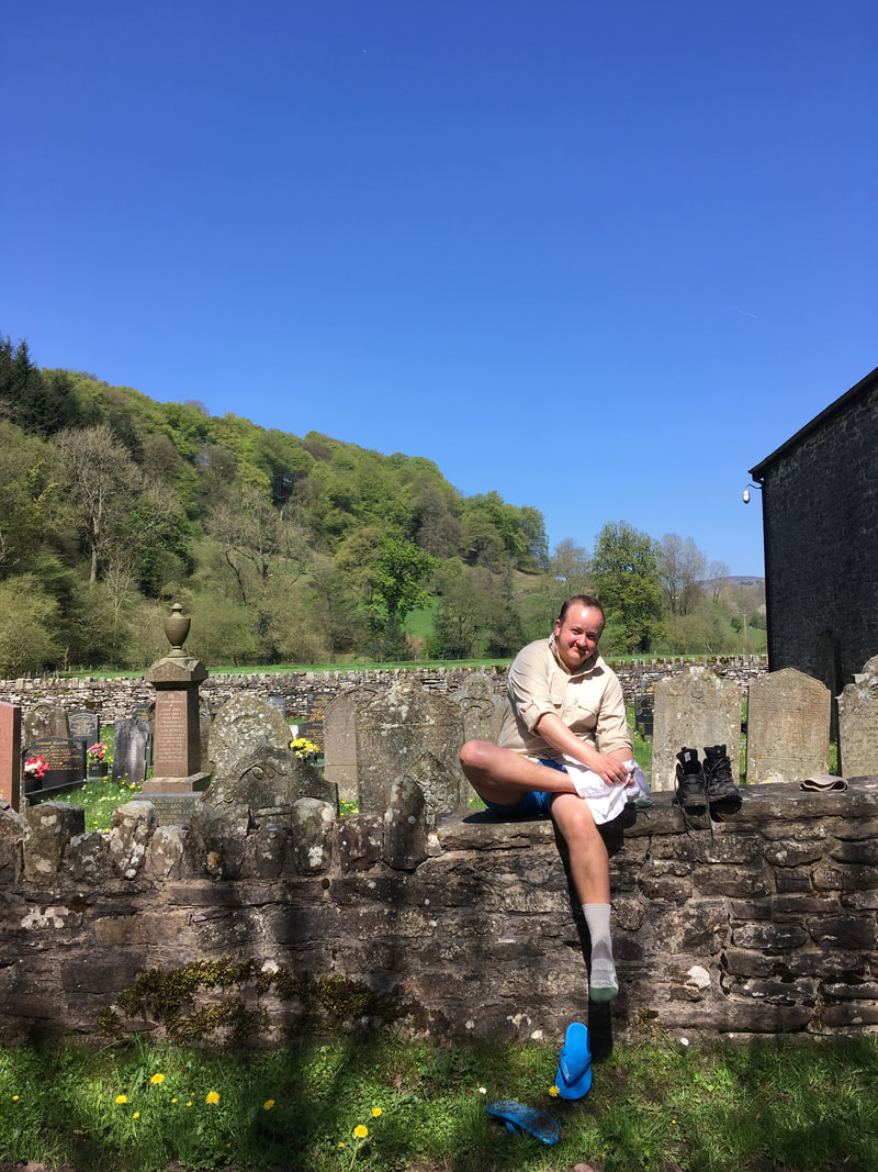
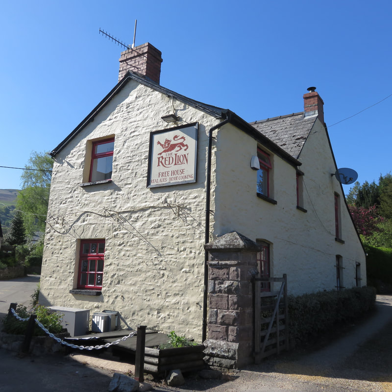
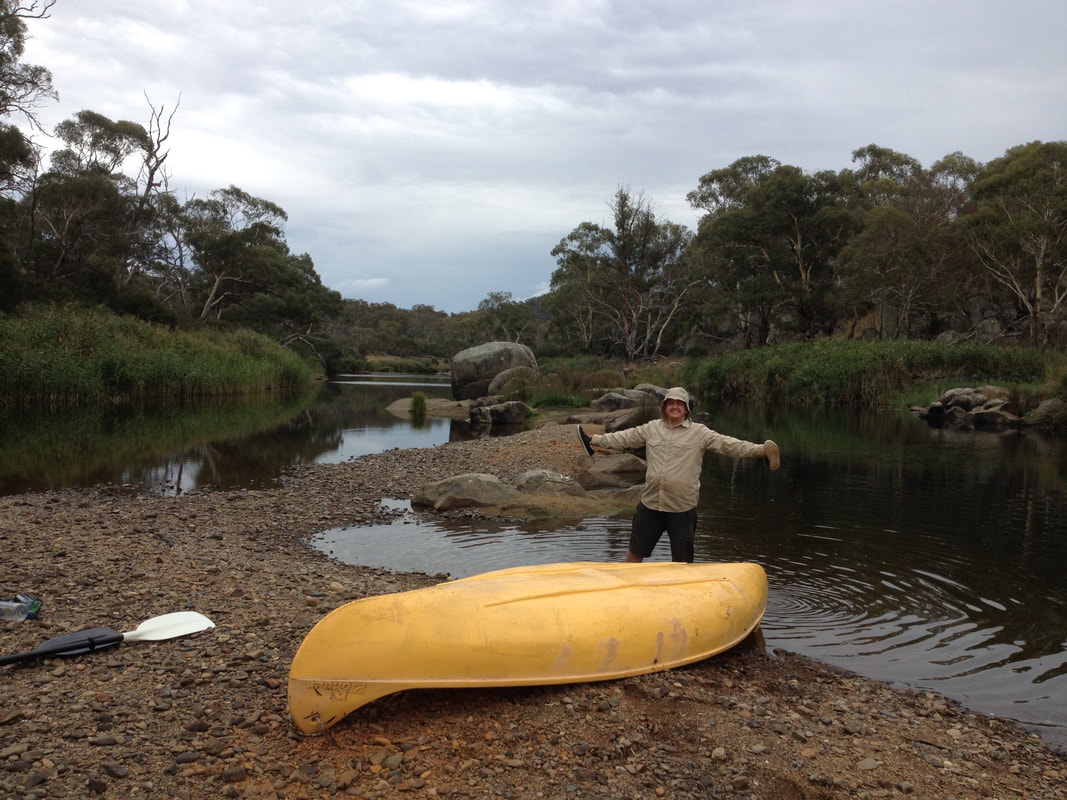
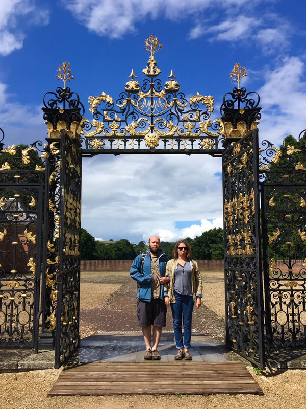
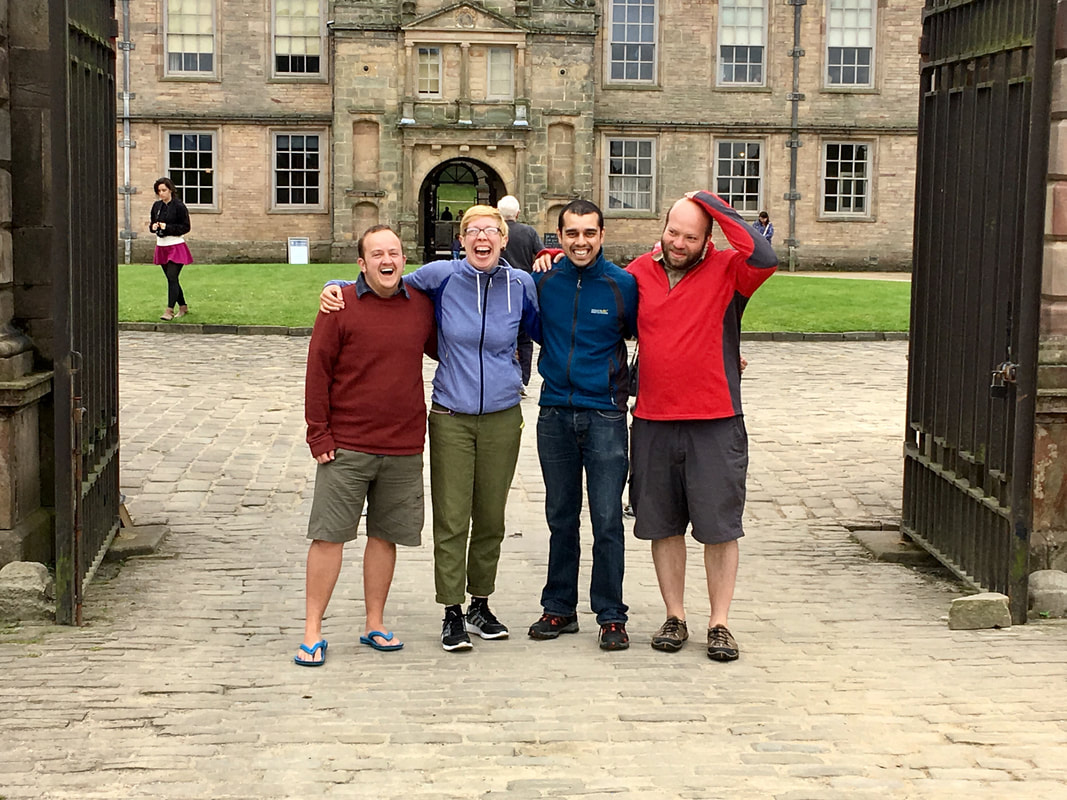
9 June 2018 - A dear friend came to stay with us for a night. He was in the UK for a month before heading off to his next assignment with the Red Cross. We went for a lovely and, in places, overgrown walk around the Brightling Follies. In the afternoon I had a stand up paddle boarding lesson - I was extremely anxious about it beforehand, but I enjoyed the activity itself once I was out on the water (we went on a river as the wind was blowing the wrong way for sea paddling). 
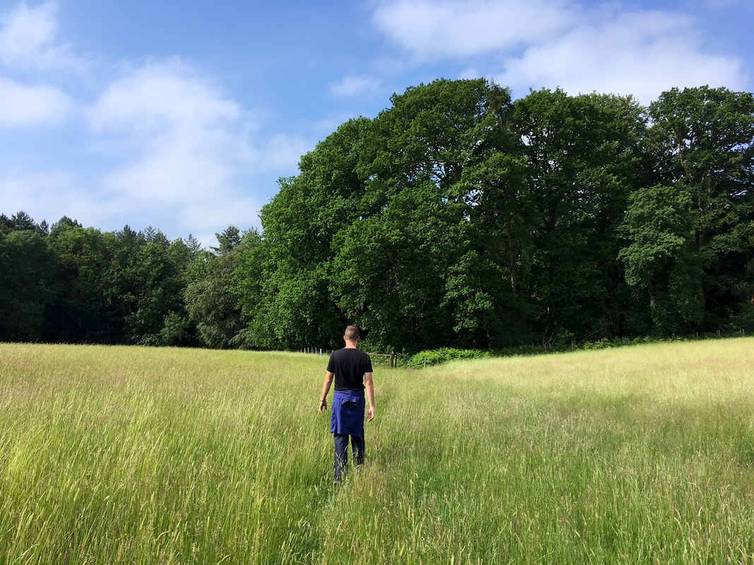
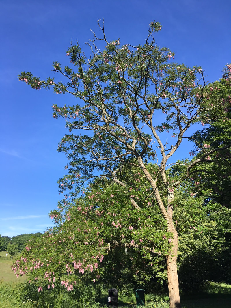
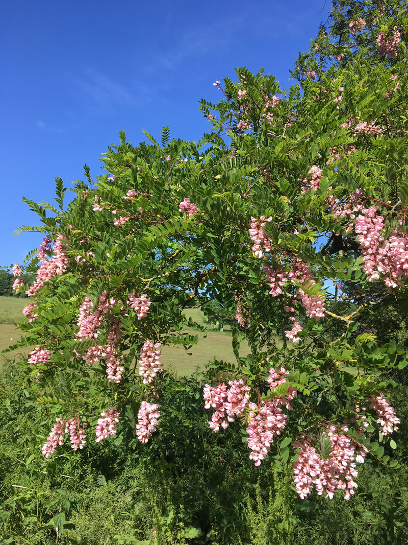
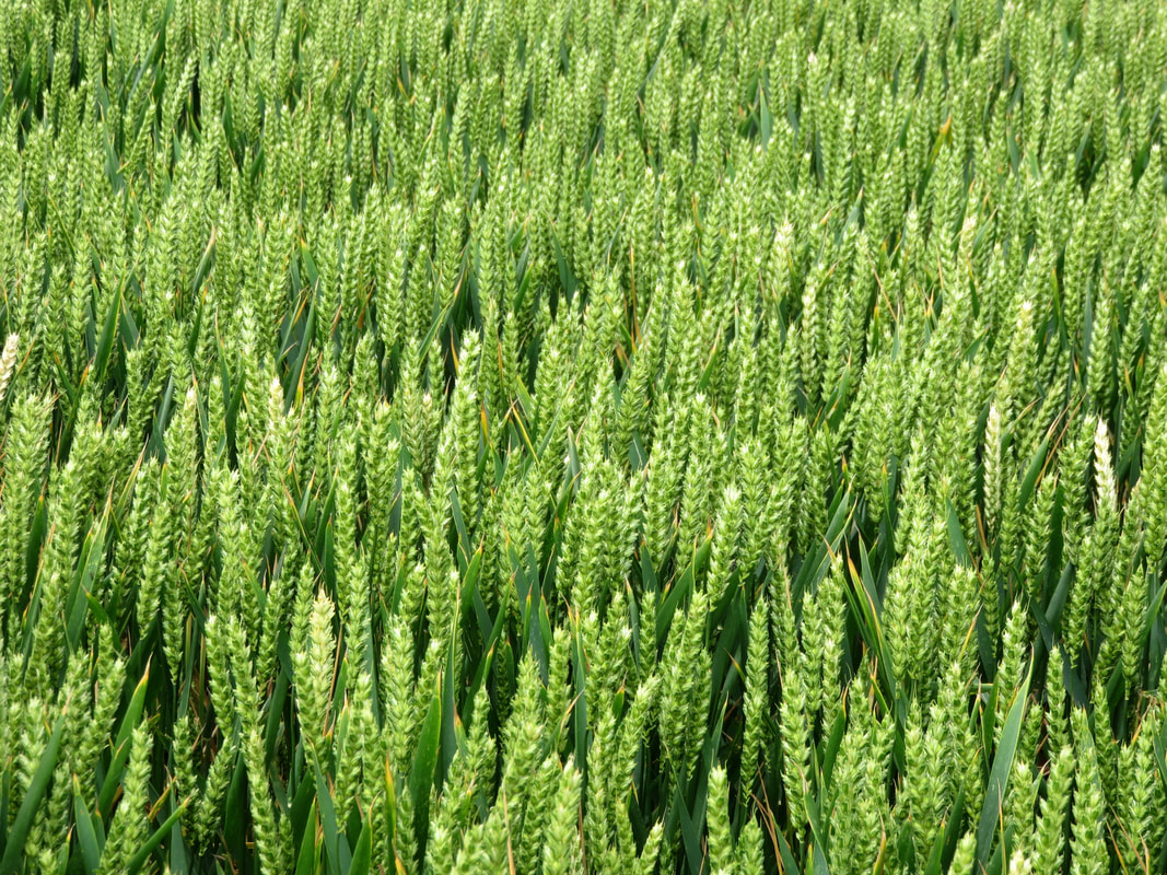
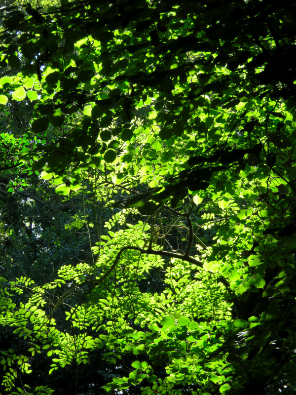
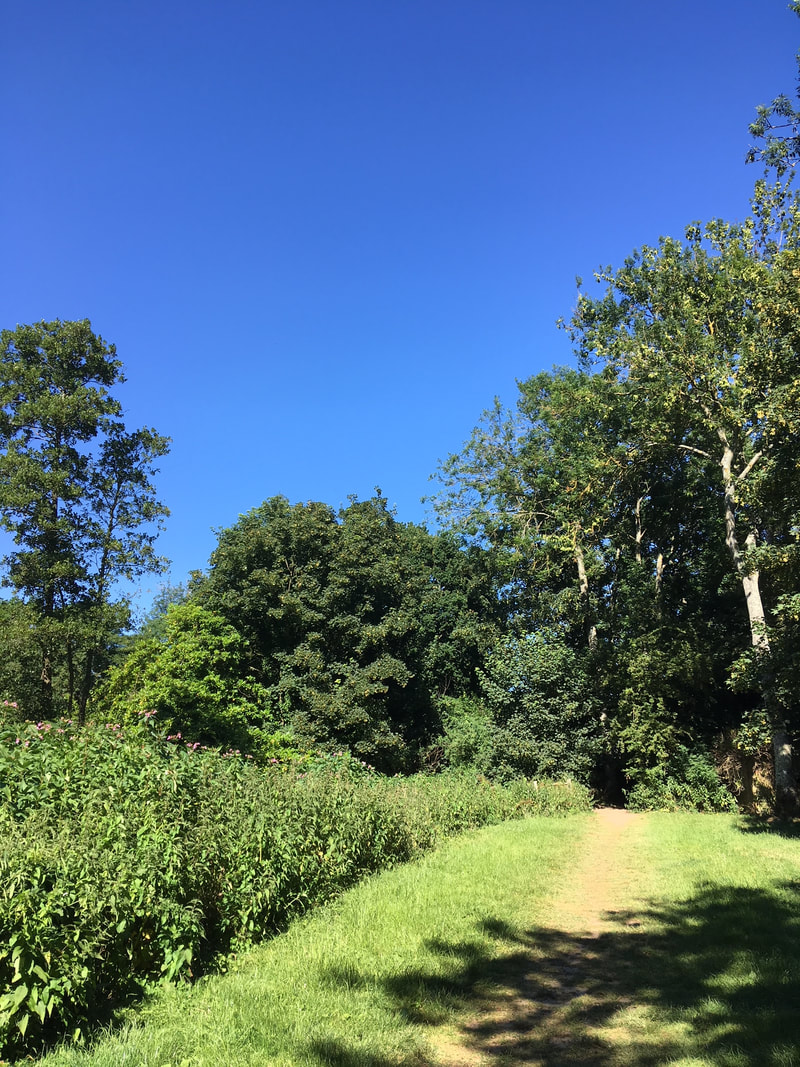
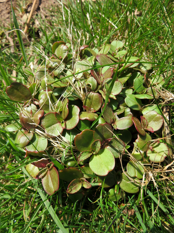
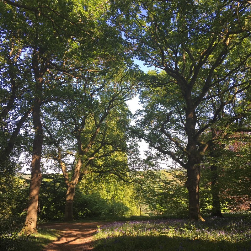
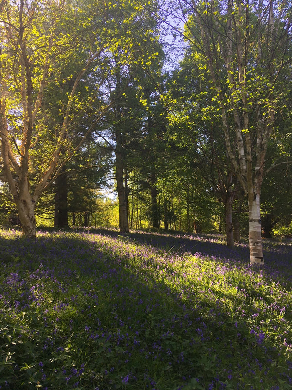
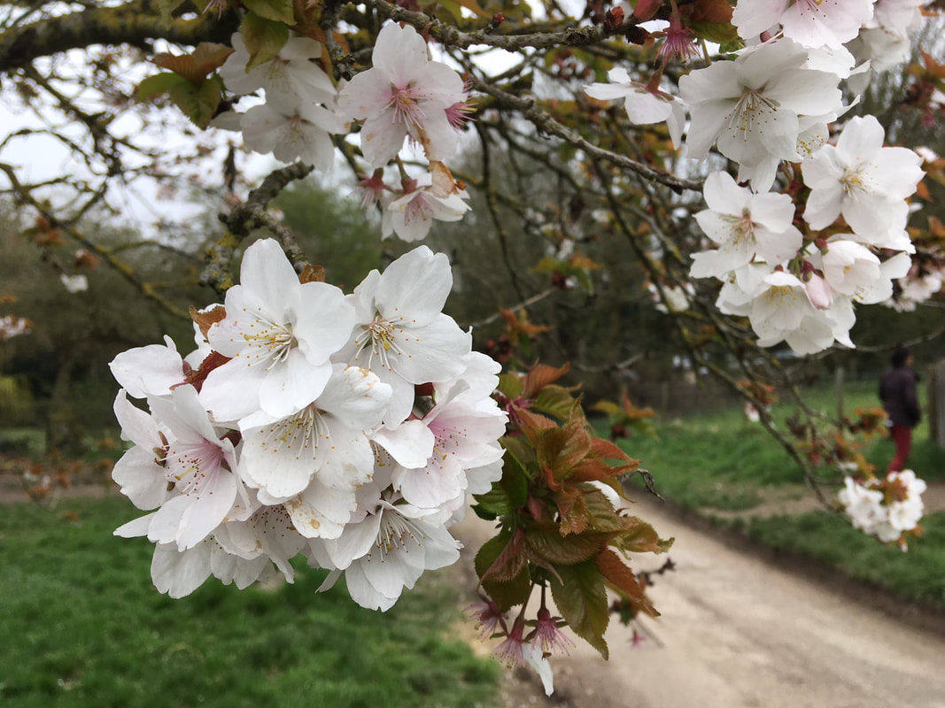
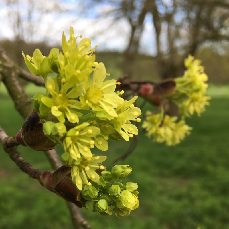
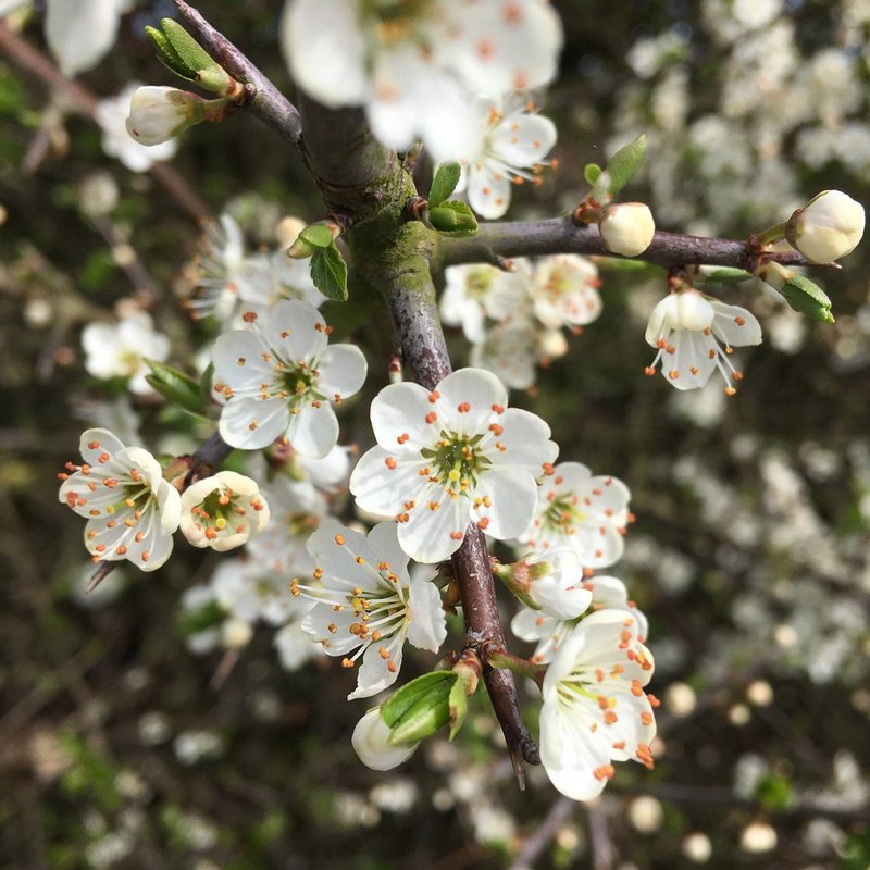
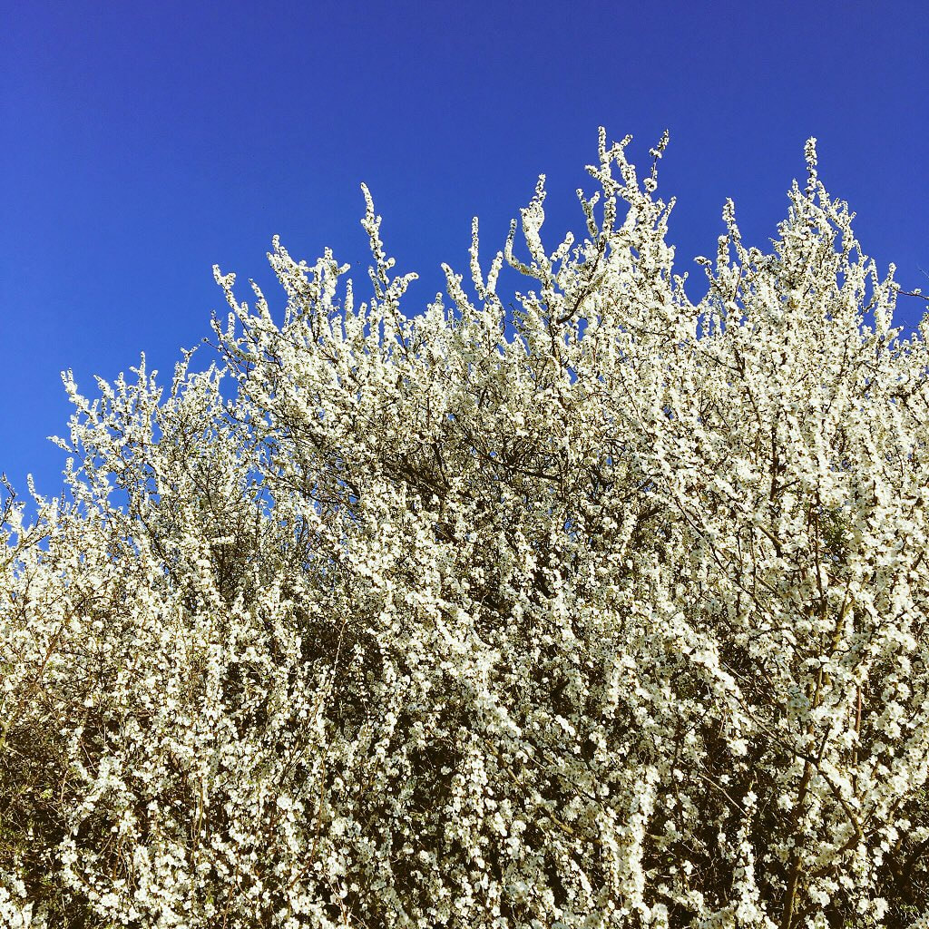
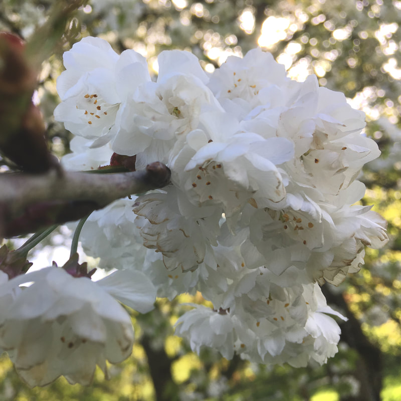
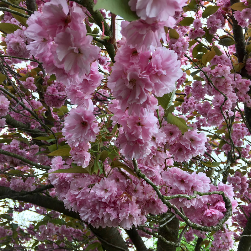
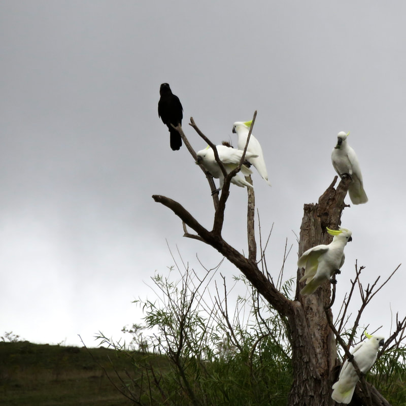
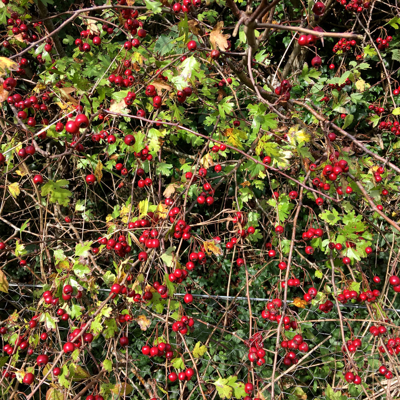
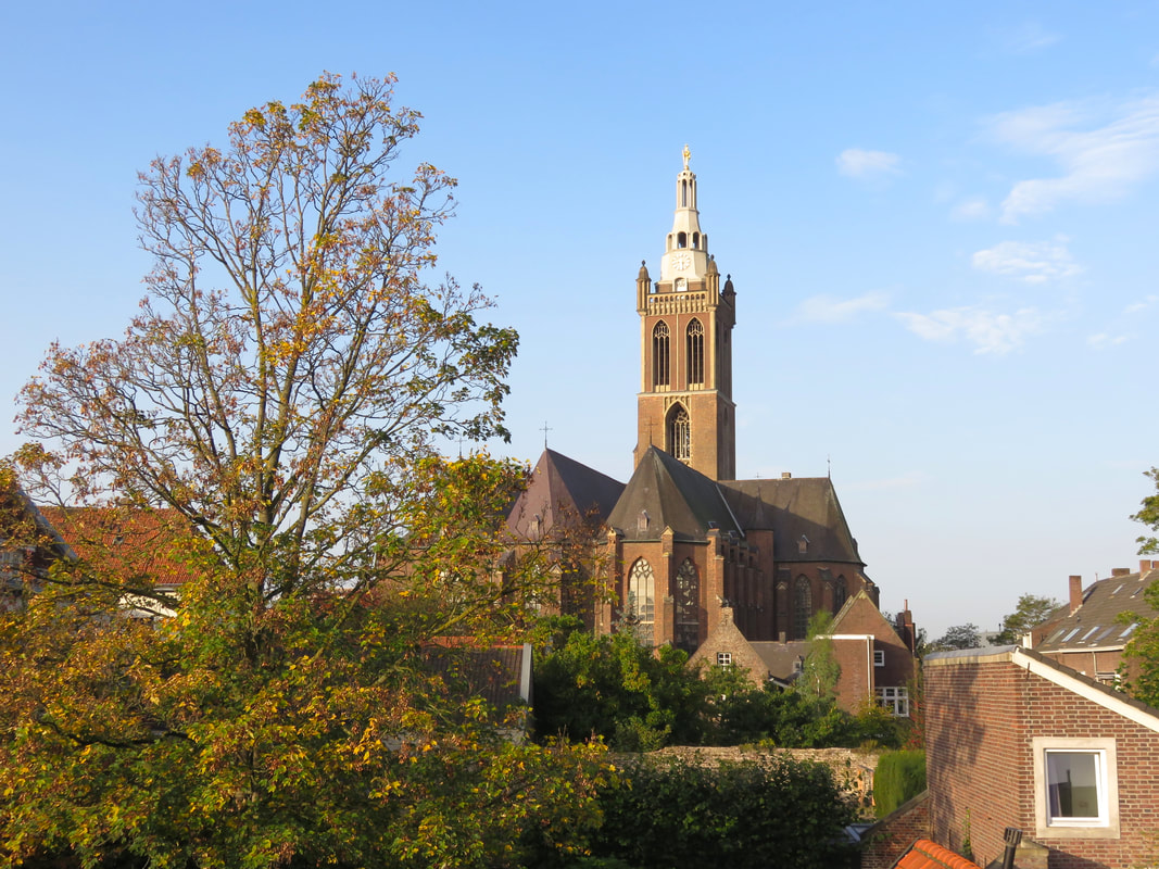
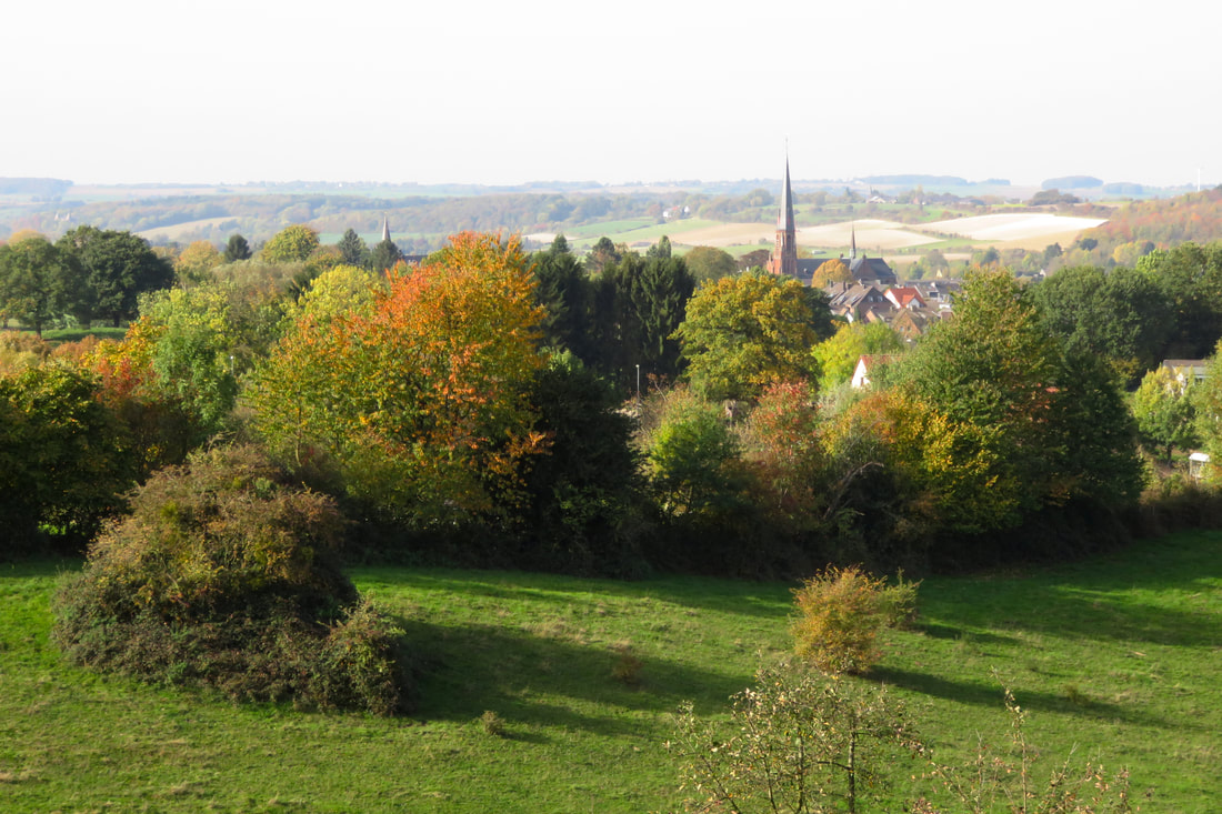
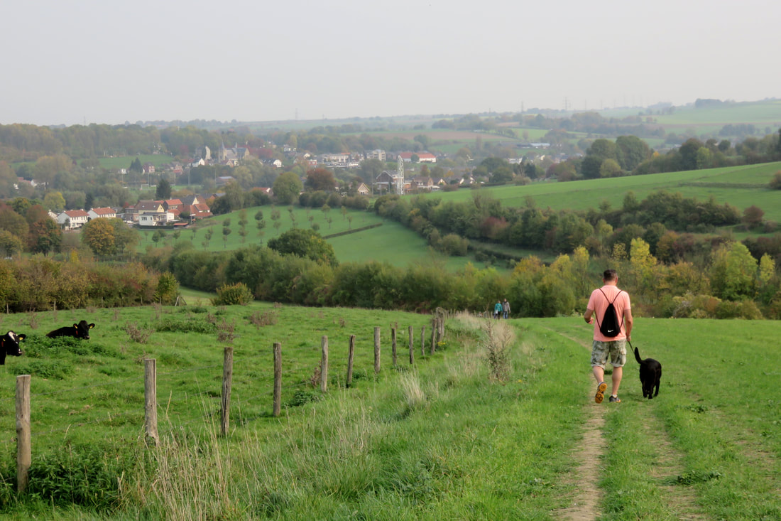
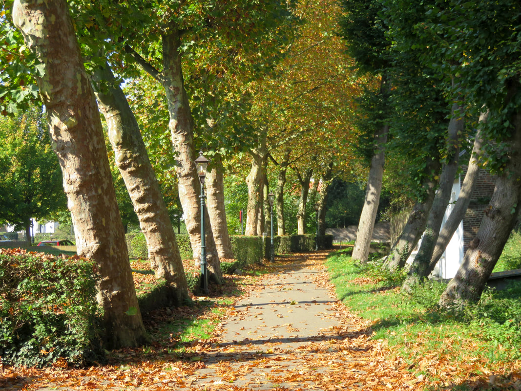
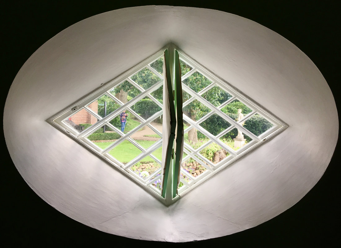
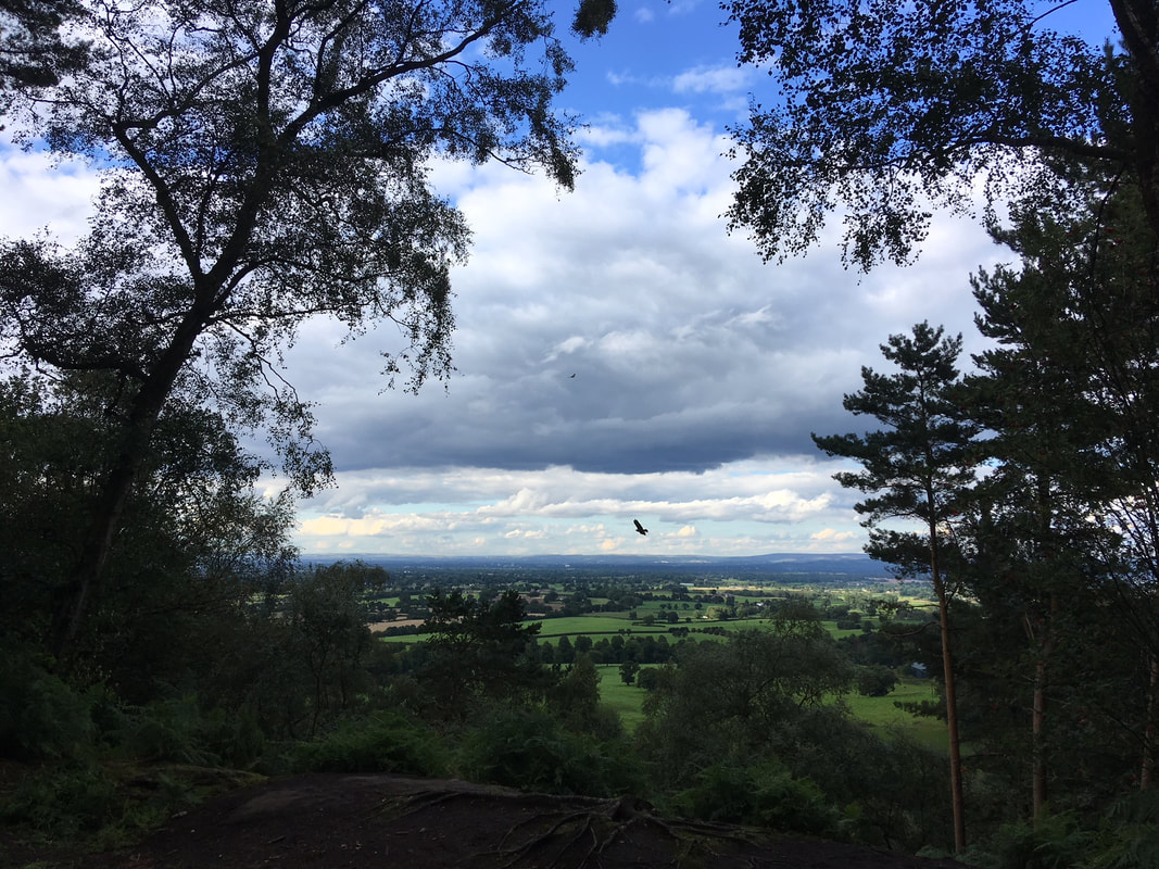
11 June 2018 - We continued to enjoy our after-work strolls around Stanmer Park, watching spring fold quickly into summer. The weather was amazing in June. Do you know what this tree is? 
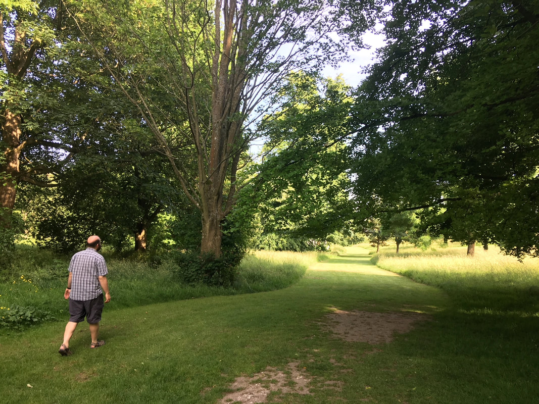
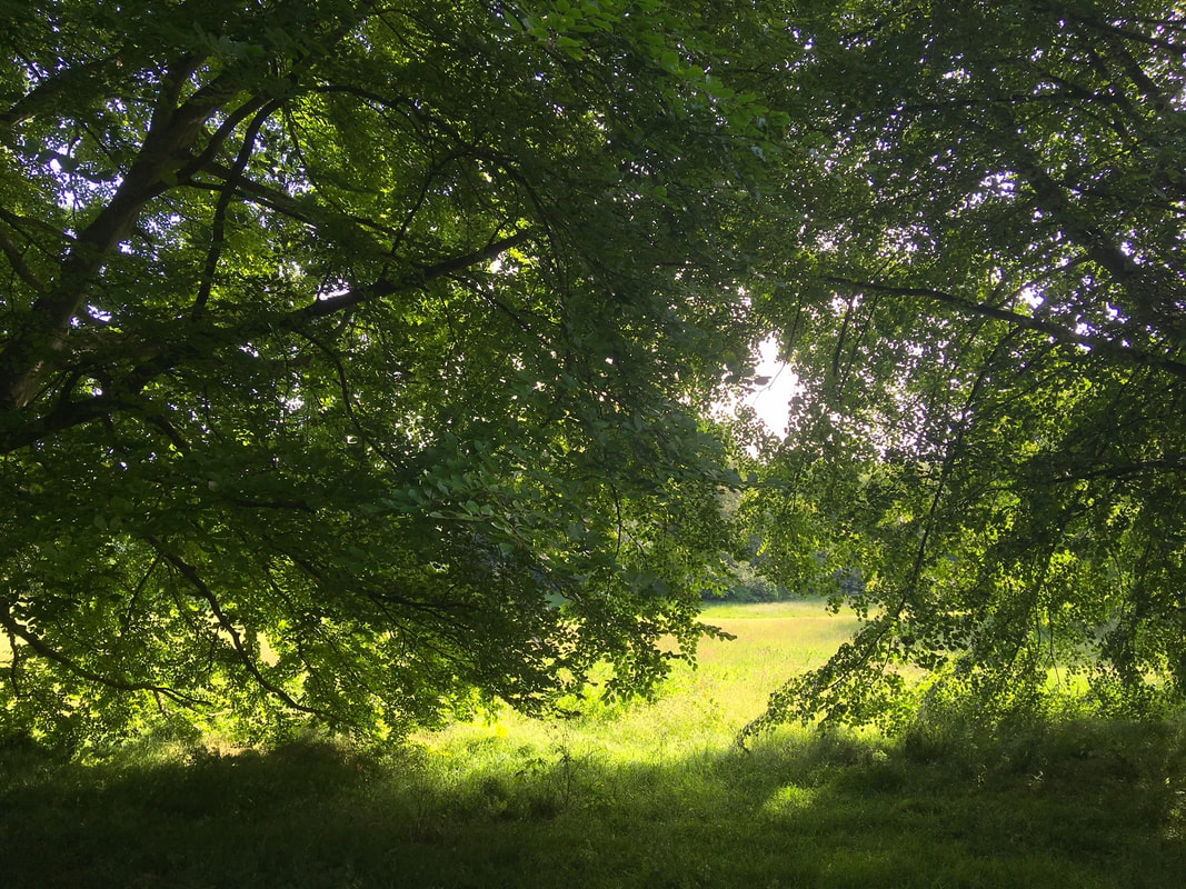
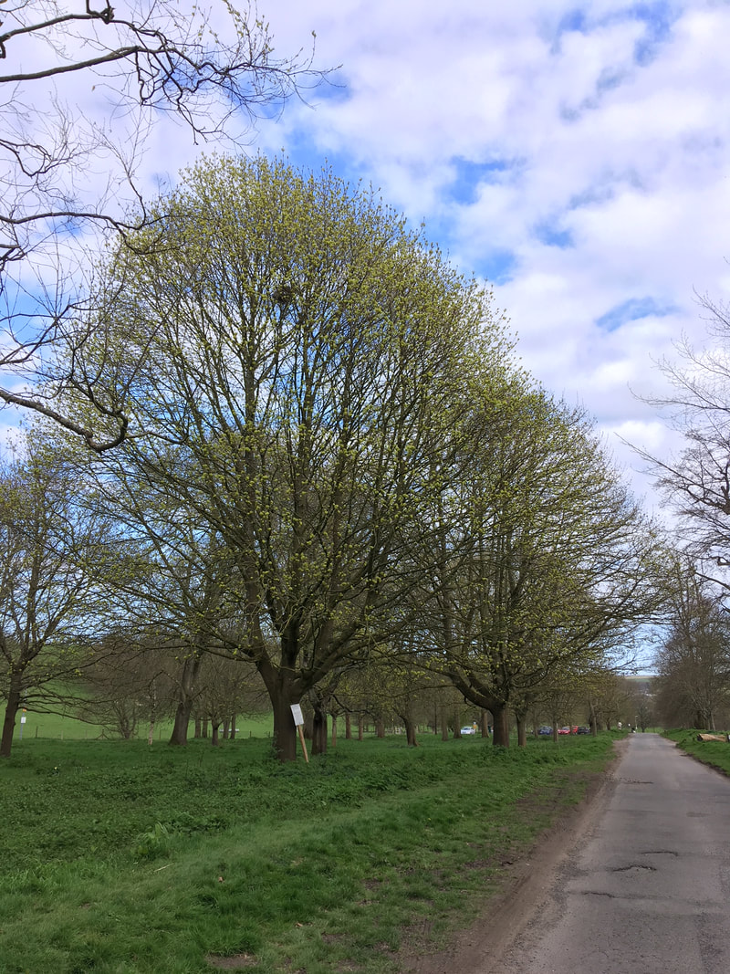
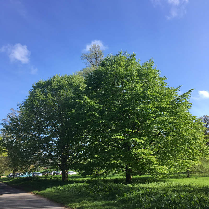
13 June 2018 - Back to Stanmer Park. I didn't take photos every time we visited. It was beautiful this month. 
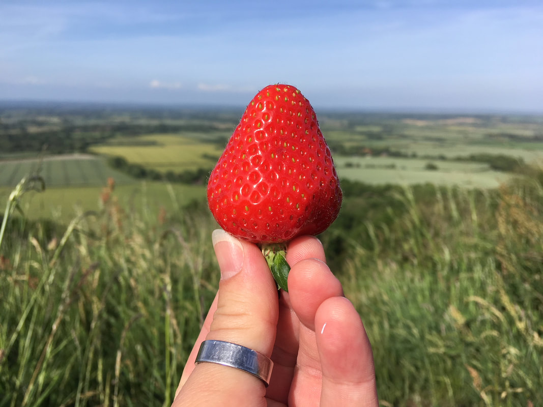
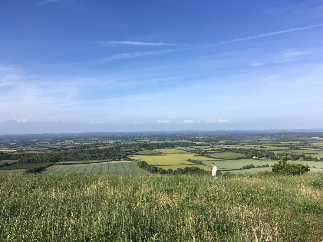
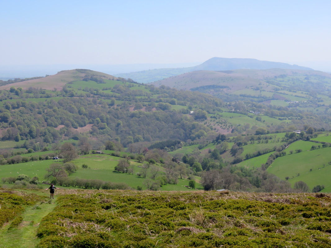
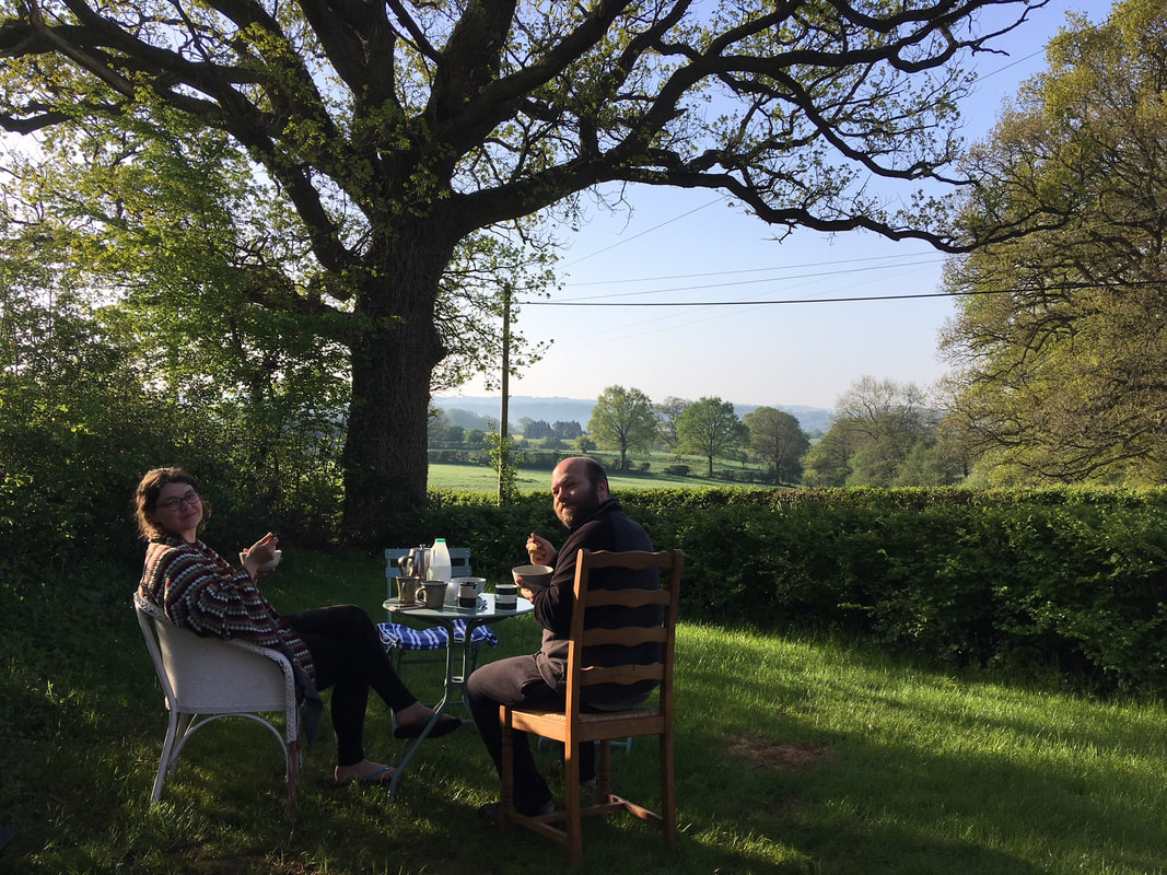
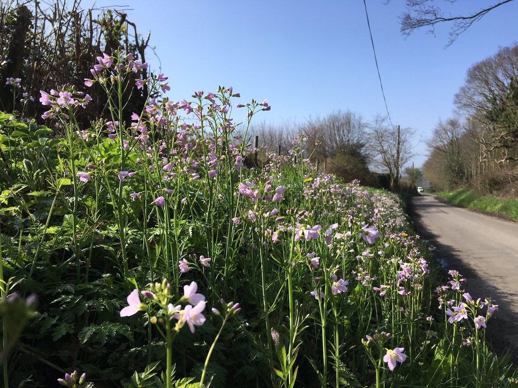
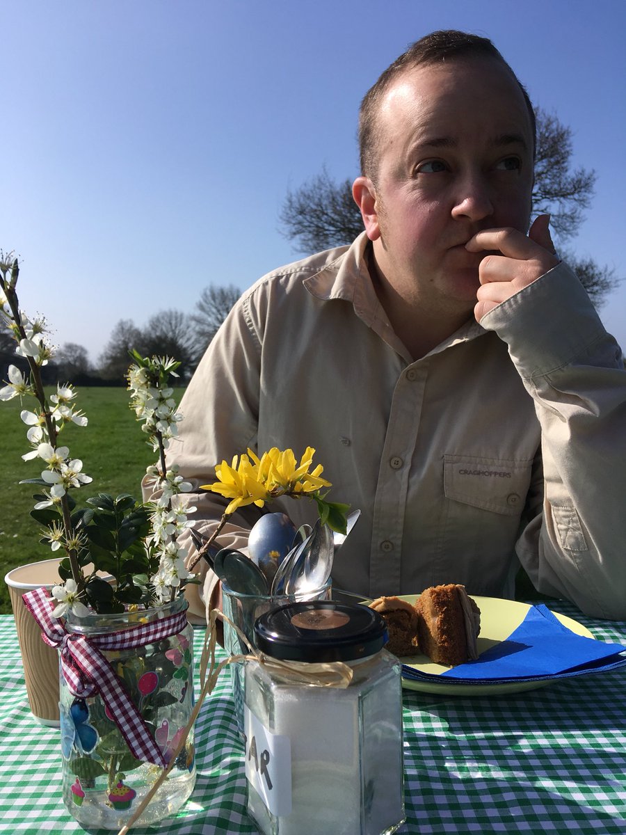
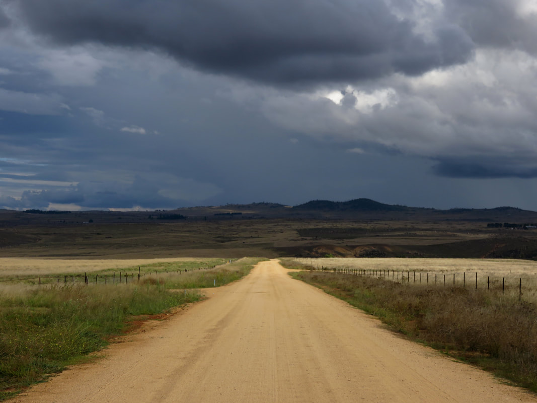
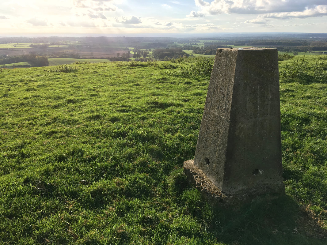
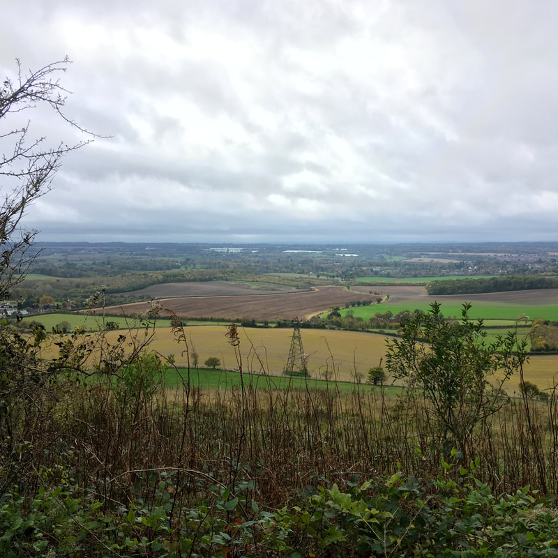
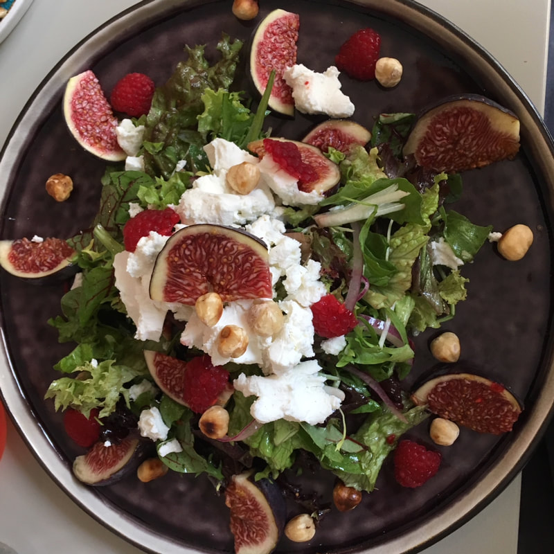
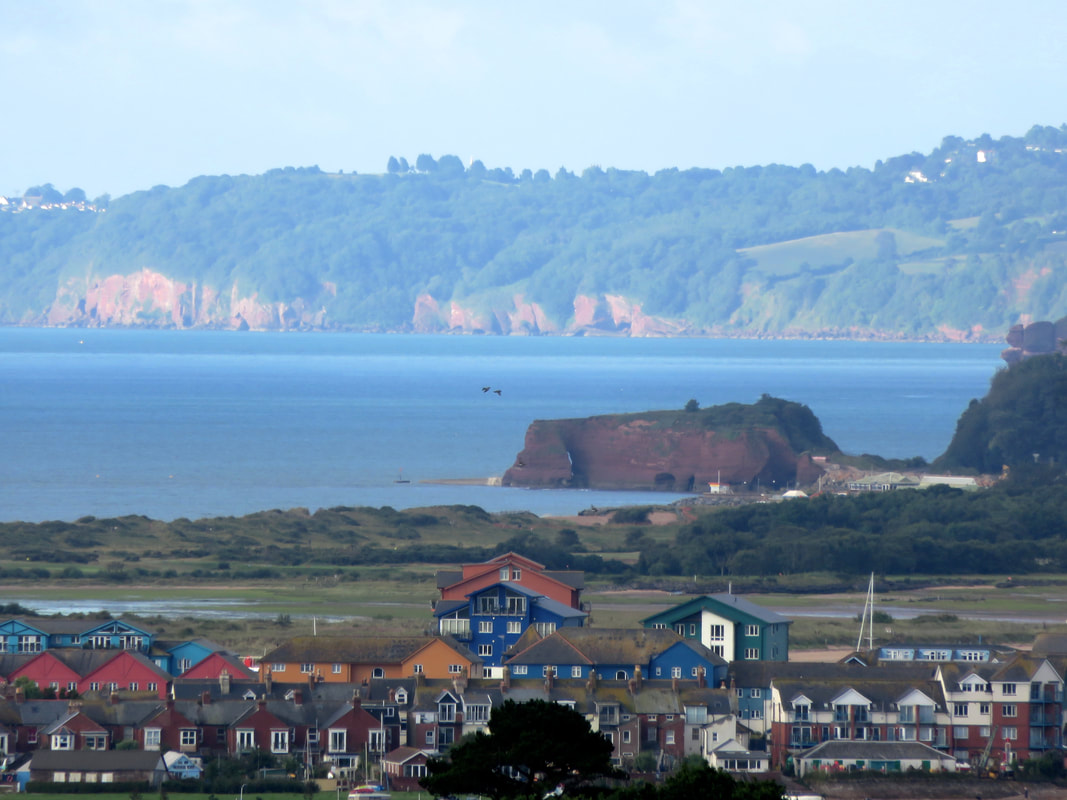
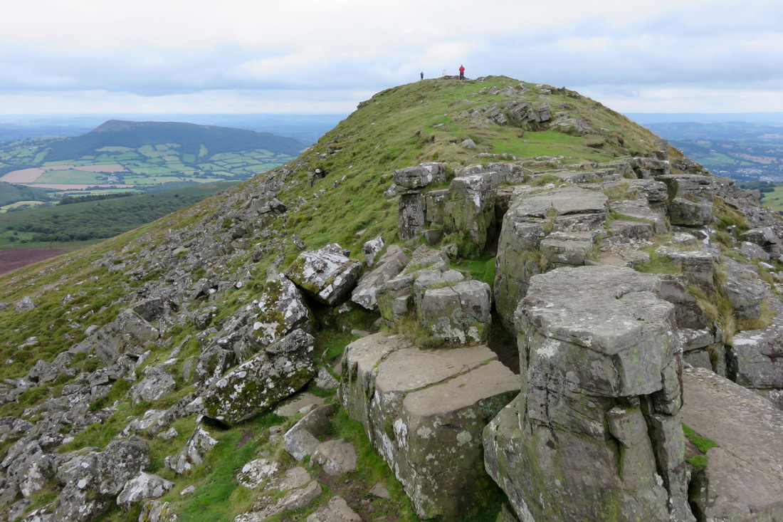
15 June 2018 - This is the way to start the weekend: sitting on top of the Downs in the sun with a cider, strawberries and a few other snacks from Middle Farm. 
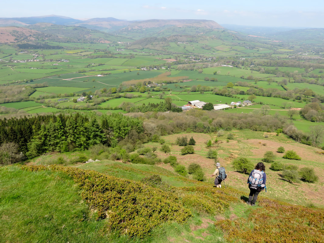
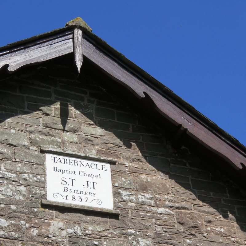
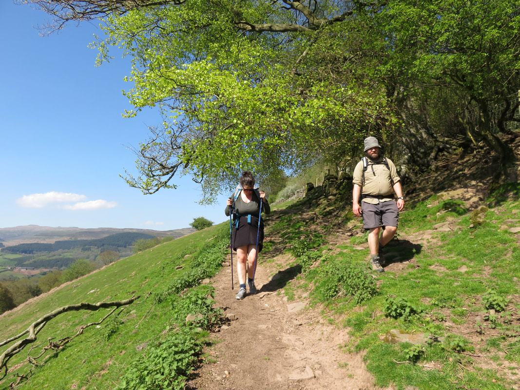
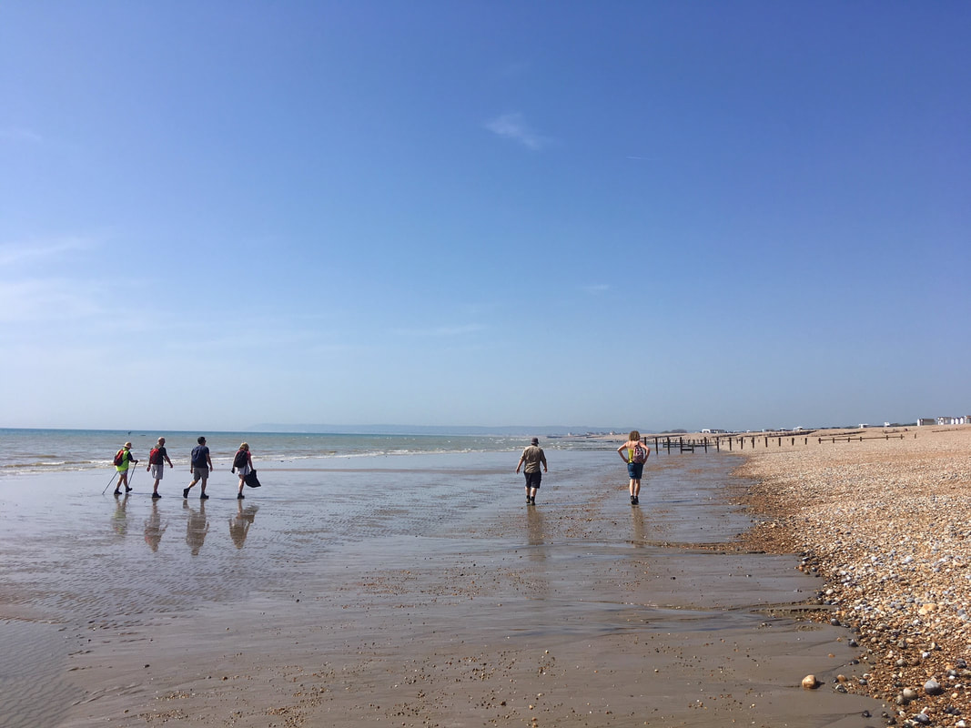
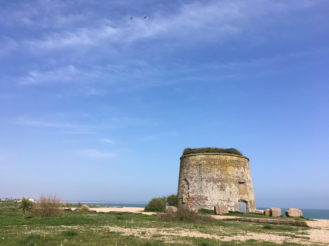
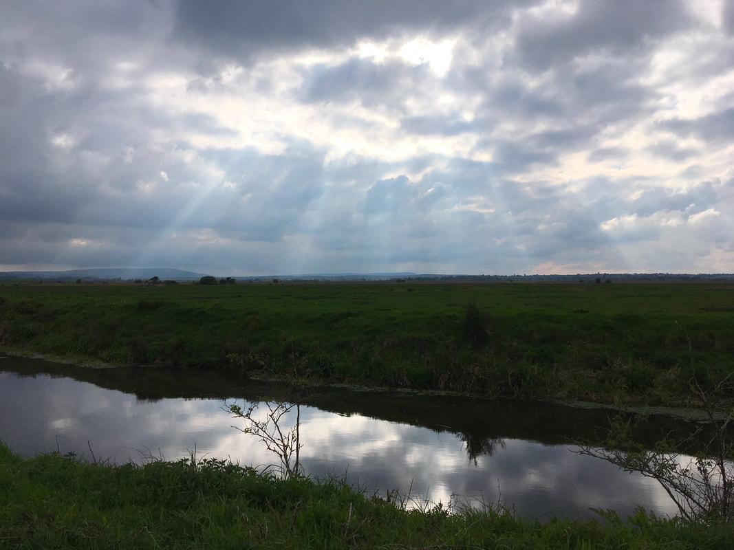
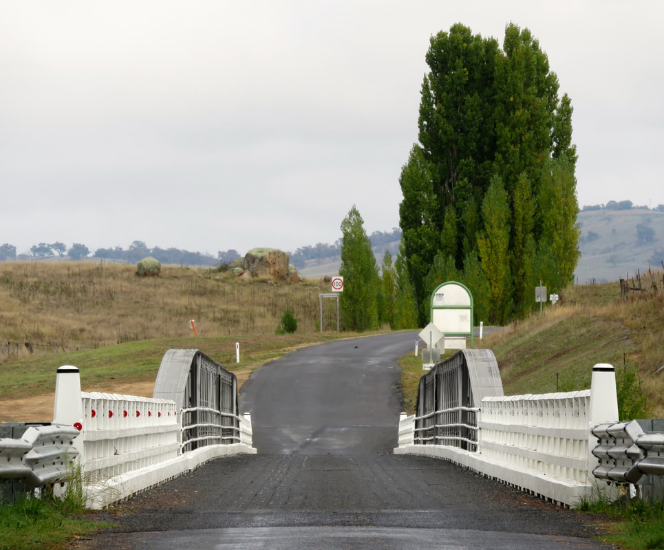
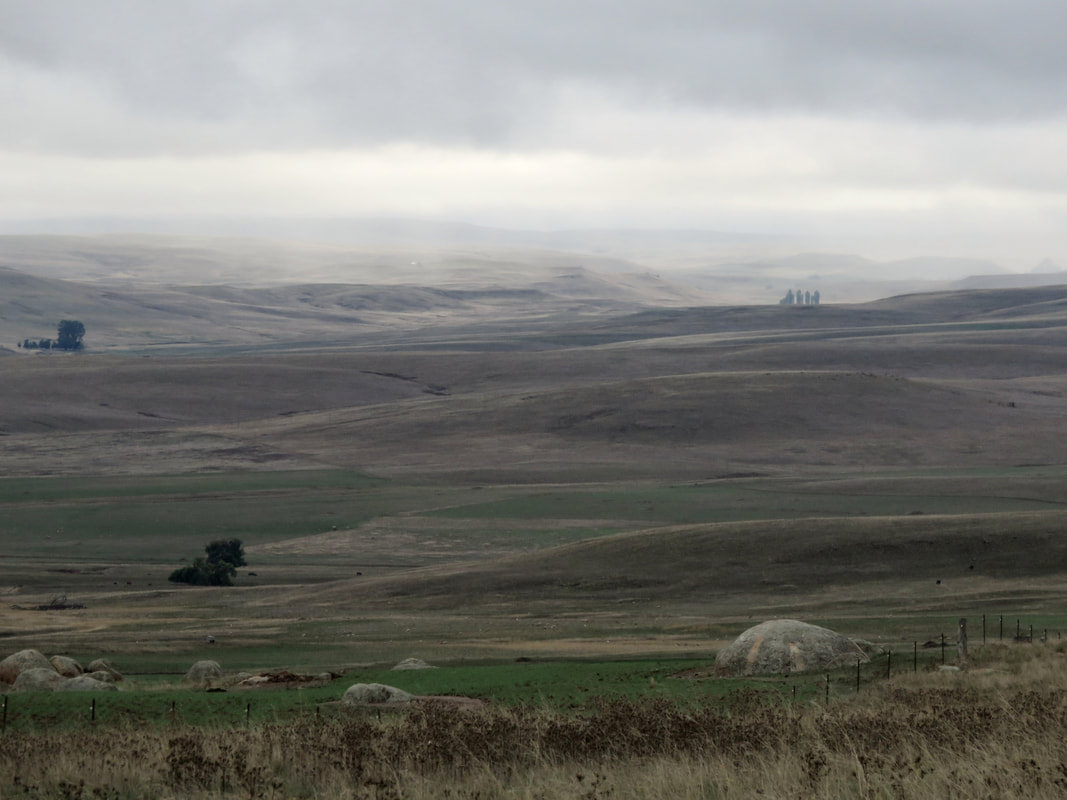
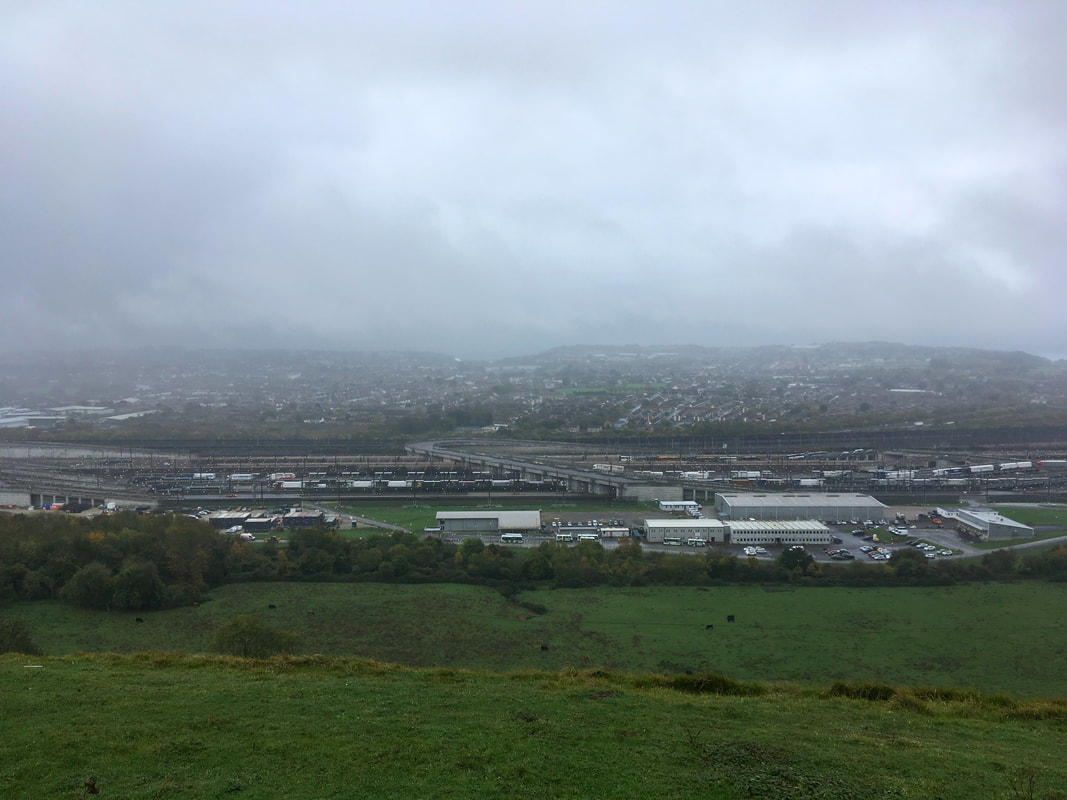
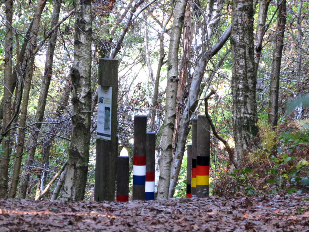
17 June 2018 - Time for the monthly walk with HRRA, our local LGBT/queer group. Our leader for the month took us in a loop from Crowhurst, down over the new bypass and across Combe Valley, with a spontaneous alteration to walk a section of dismantled rail line. 
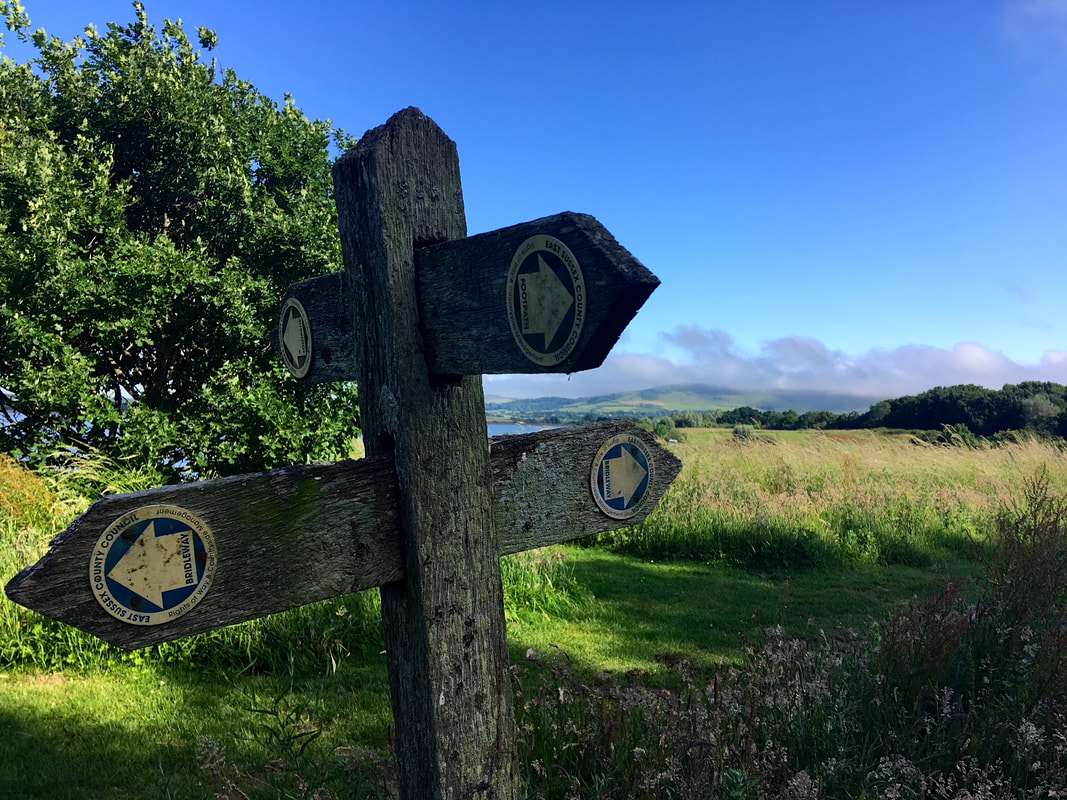
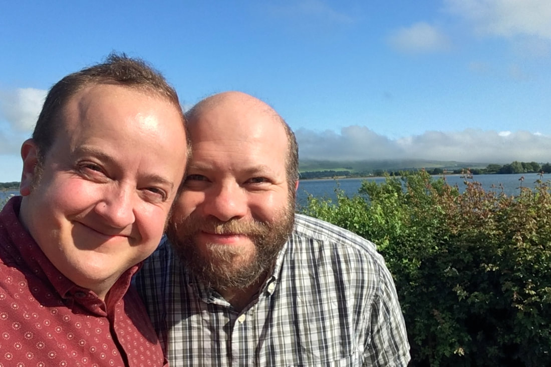
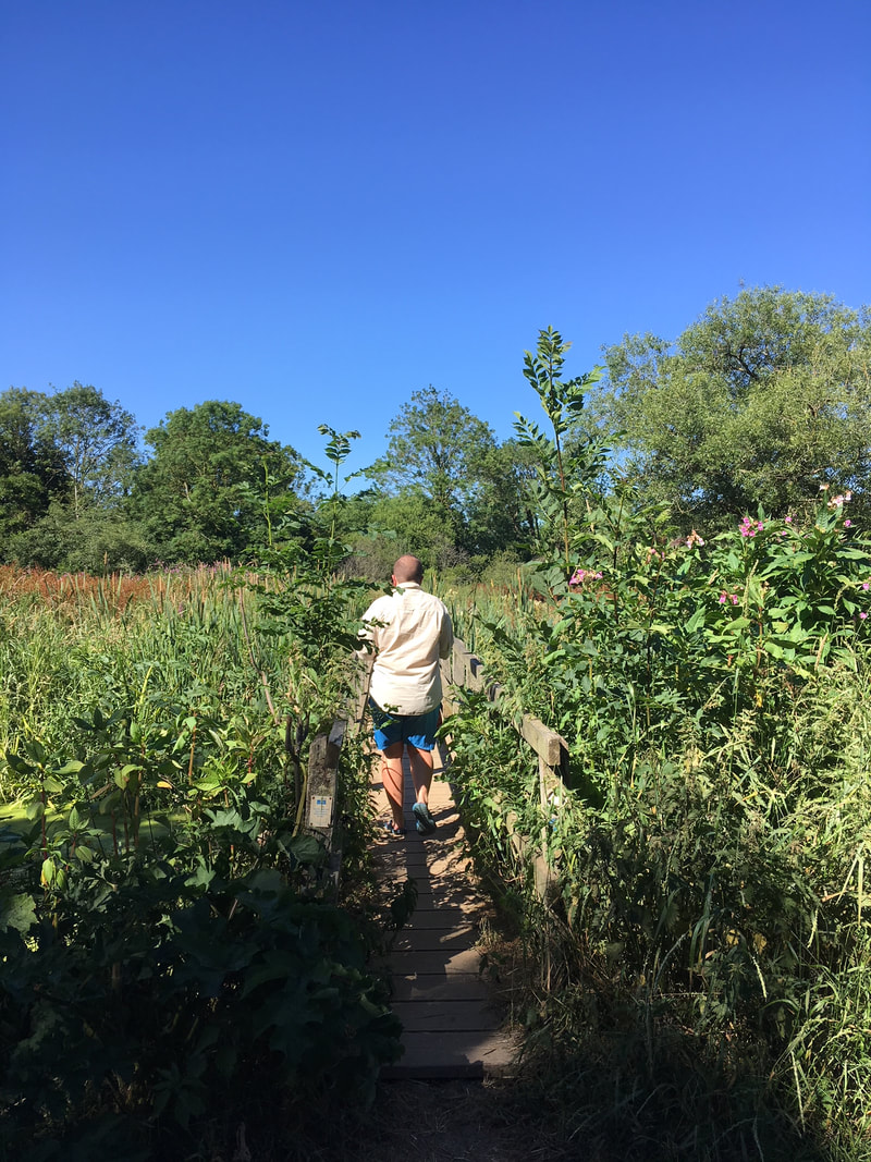
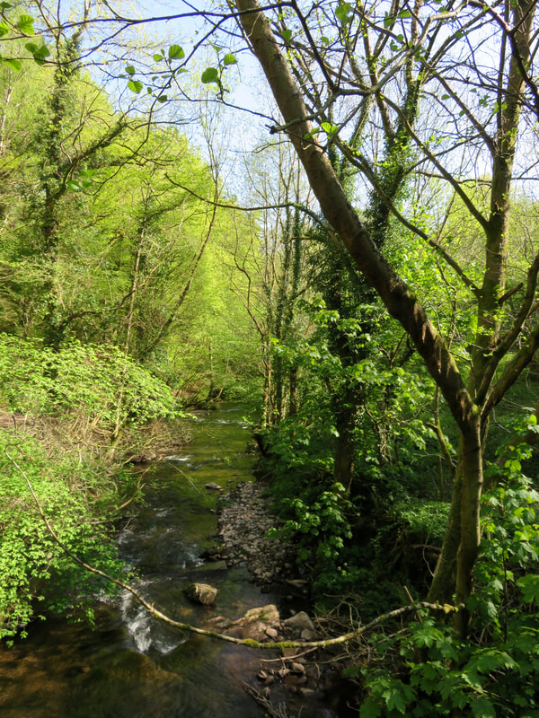
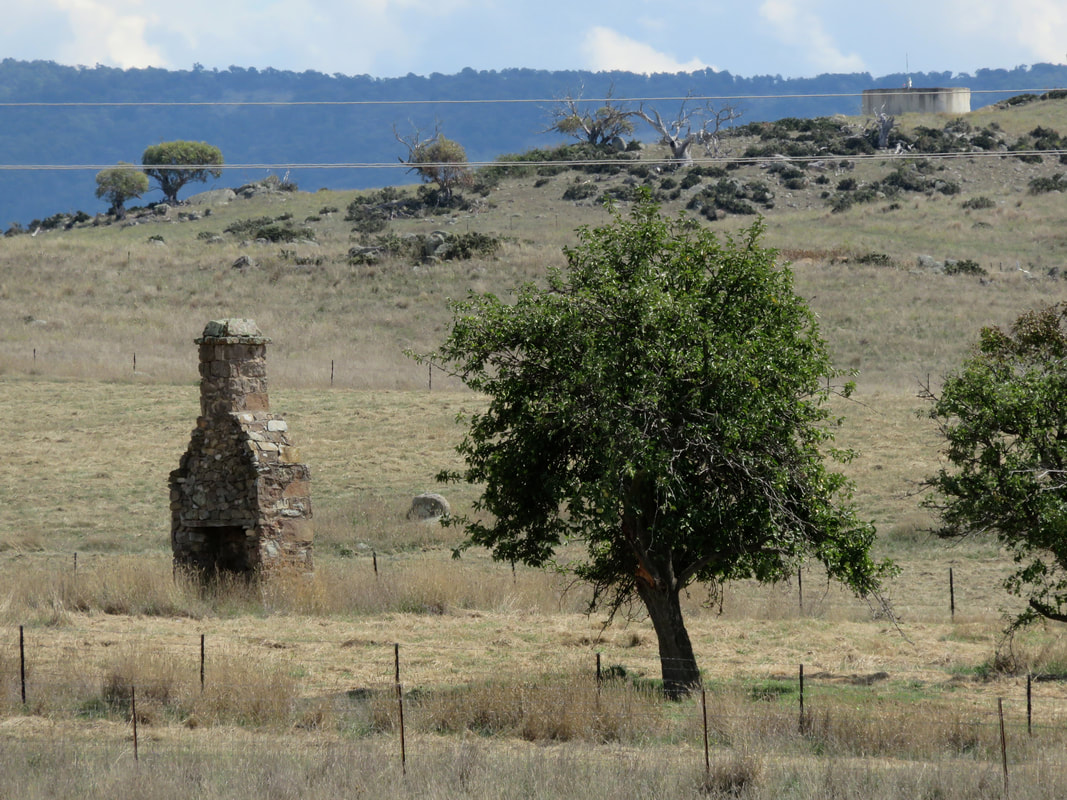
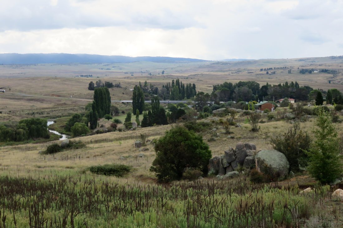
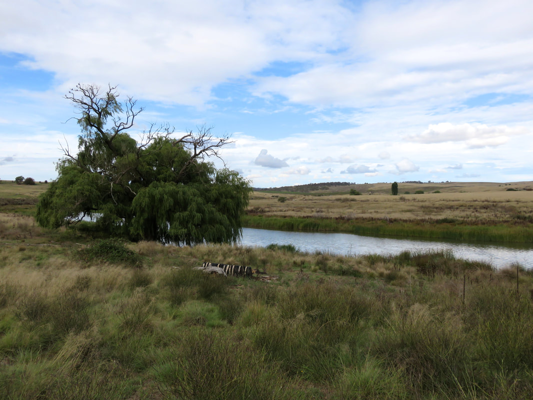
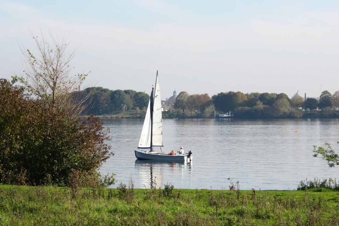
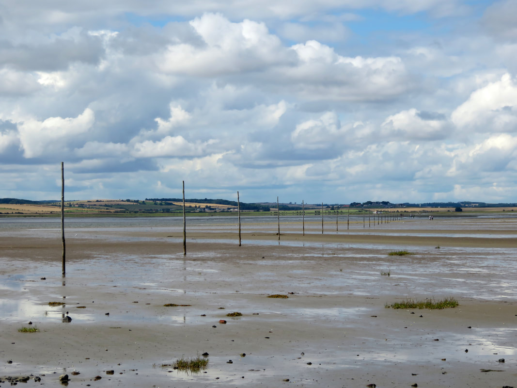
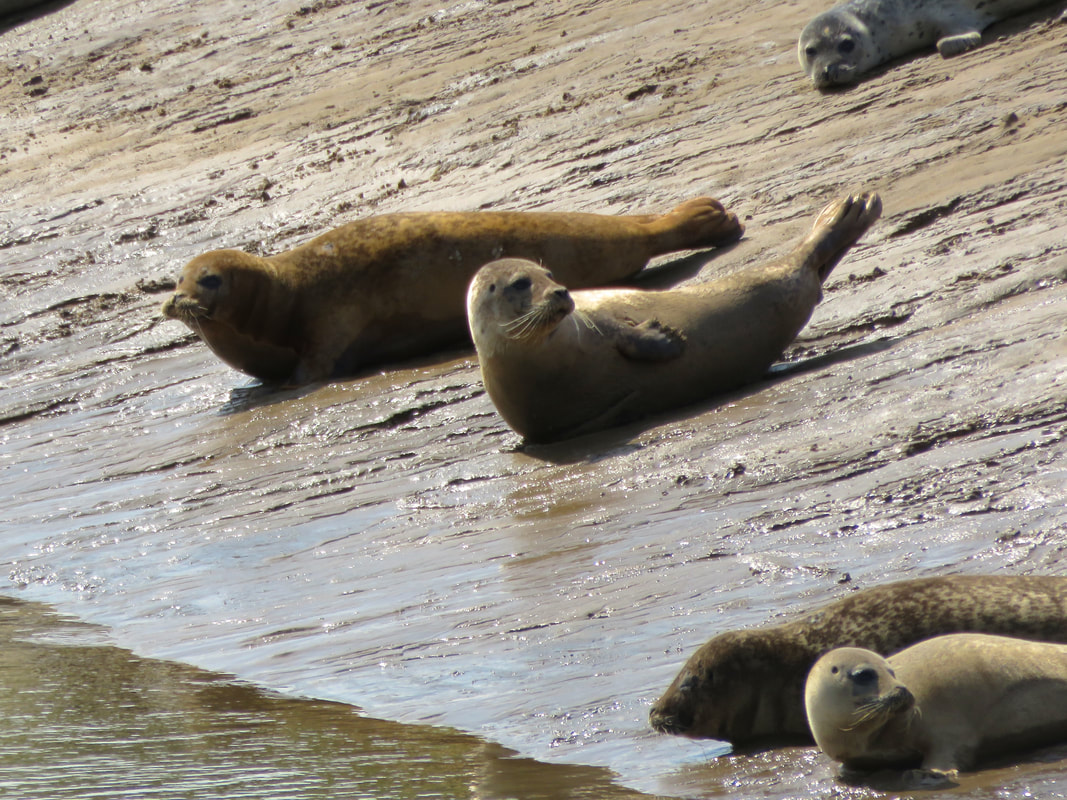
19 June 2018 - We hadn't been to Arlington Reservoir for a while. Last time we were there it was so muddy that we couldn't make it around! But it was coming up to cherry season, so we went to see if any of the wild cherry trees had fruit. They did, but it wasn't ripe. Still, it was a nice stroll! 
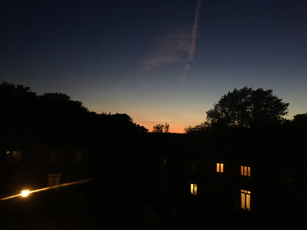
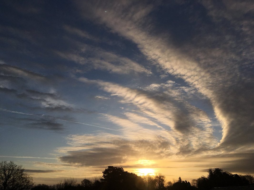
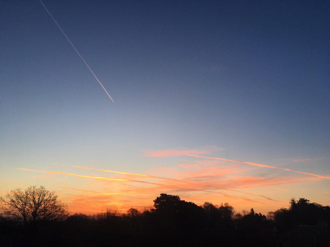
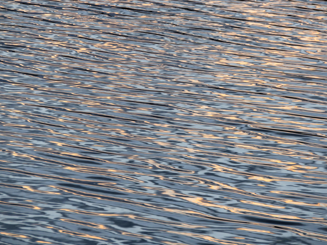
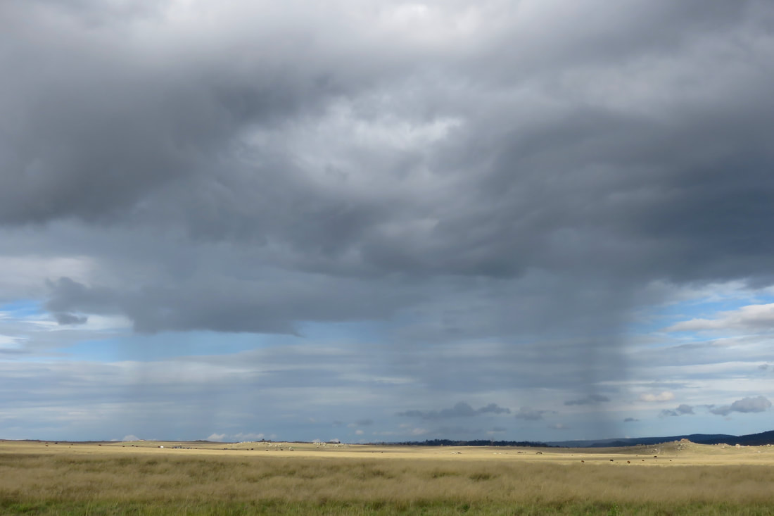
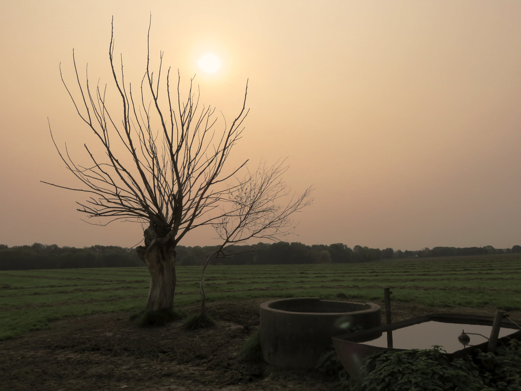
21 June 2018 - Solstice last light. I have felt like summer days are even longer than usual this year - I think it's mainly because we get so much more evening light through the windows here than in our old place. 
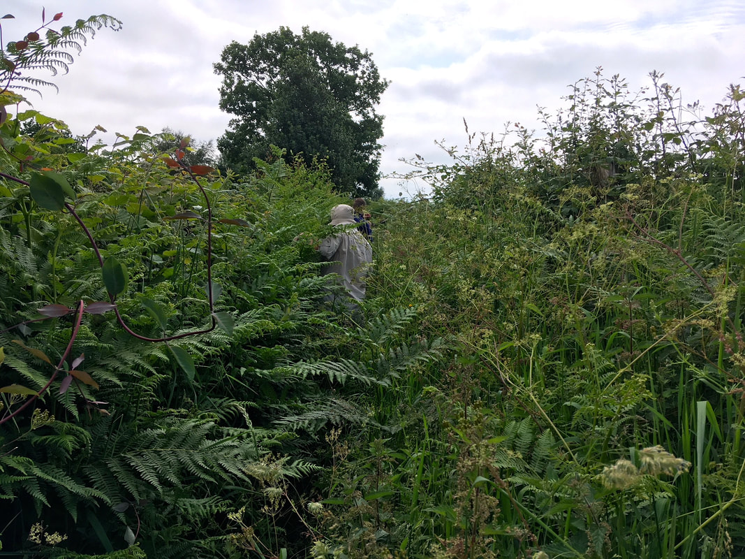
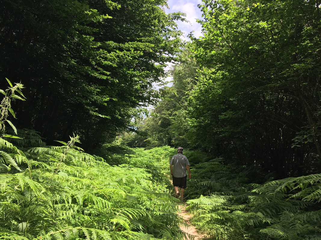
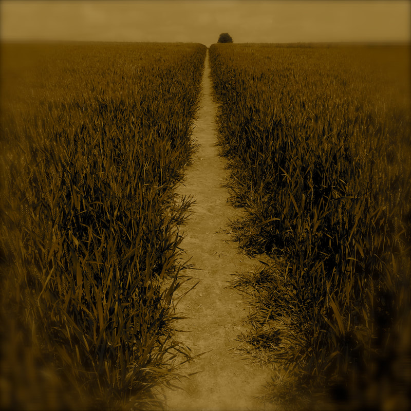
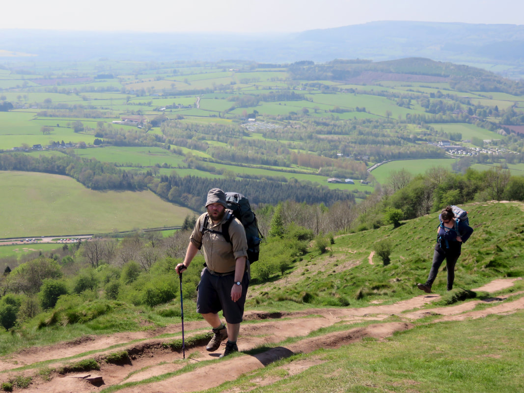
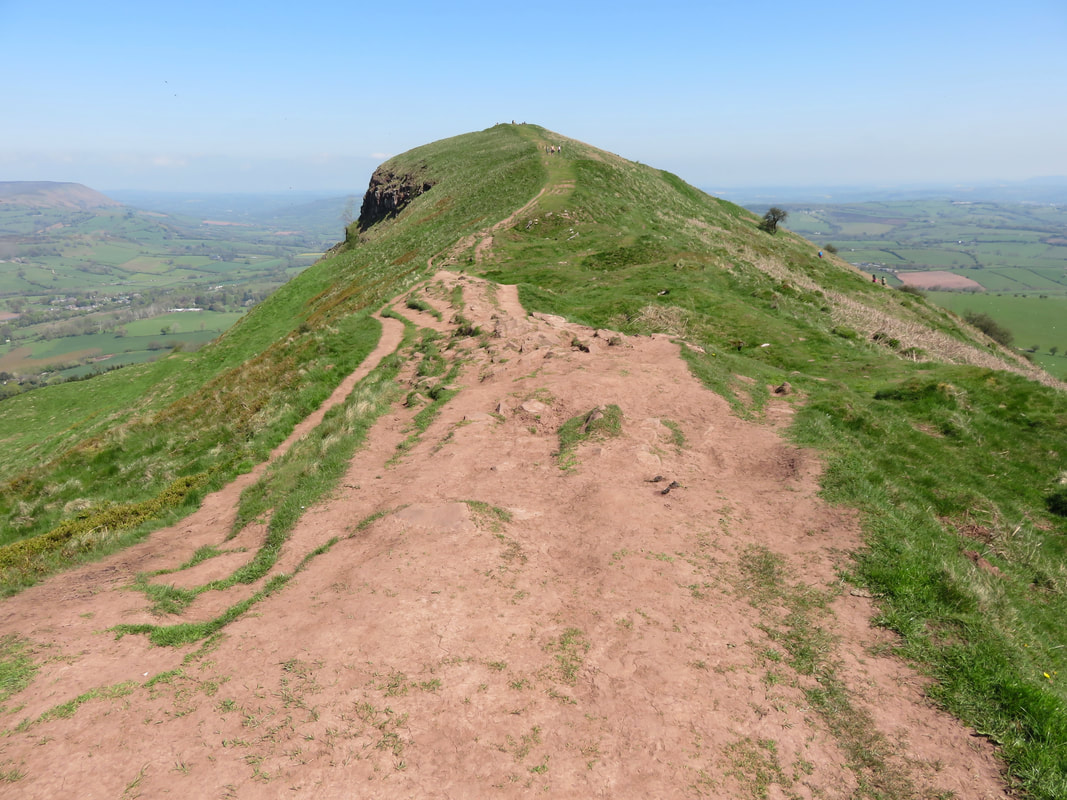
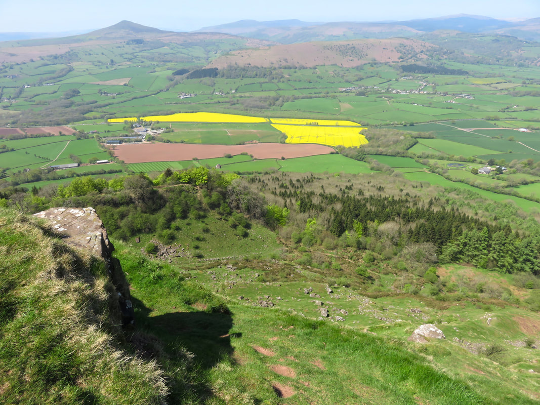
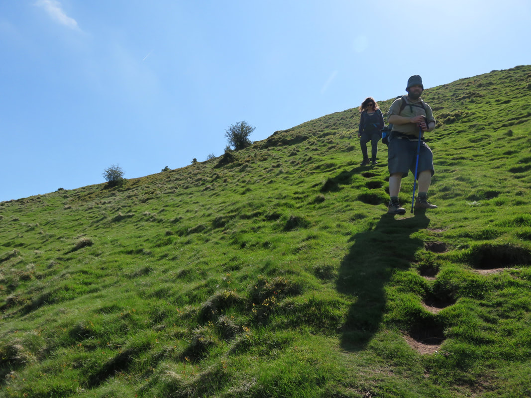
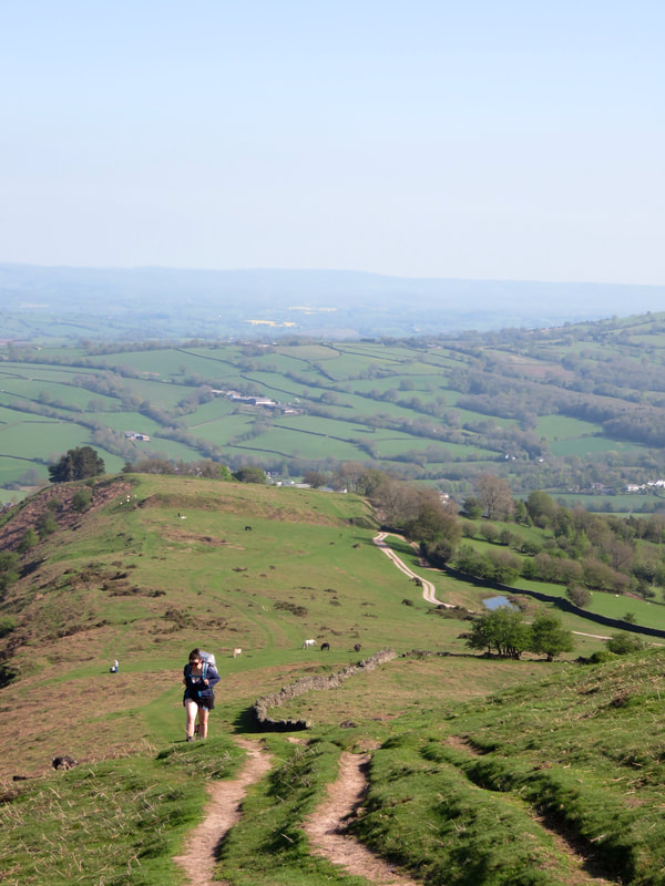
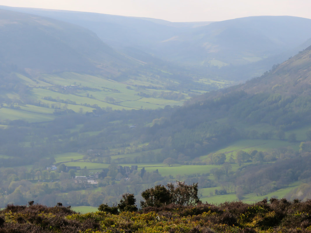
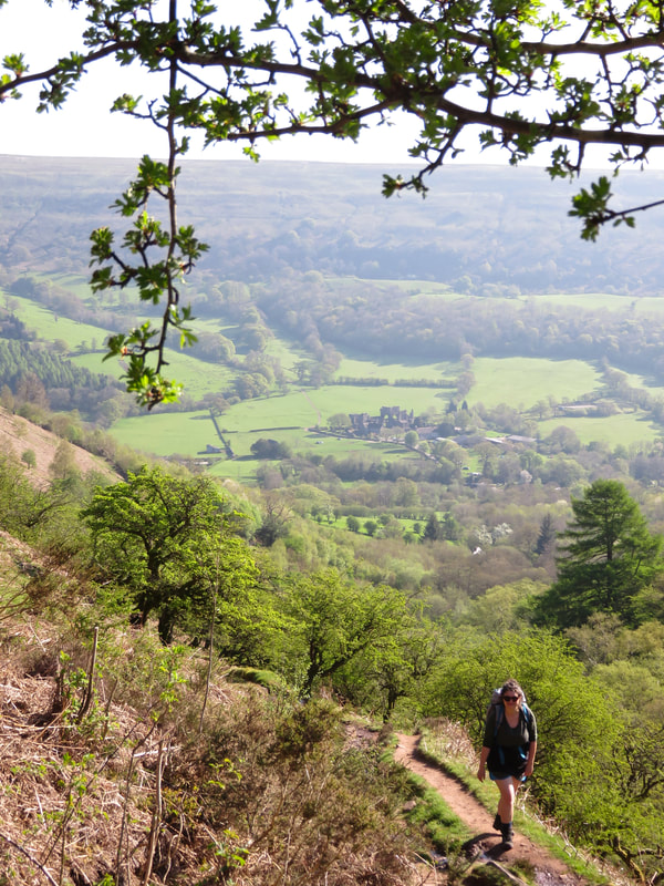
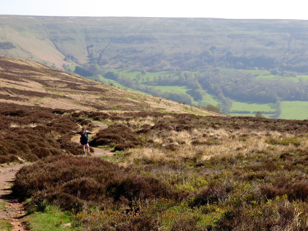
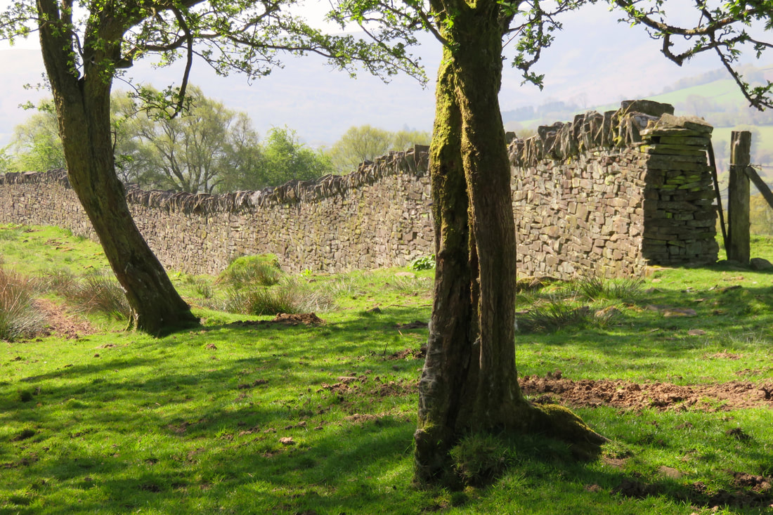
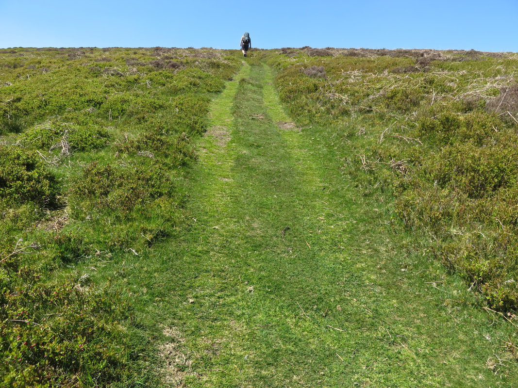
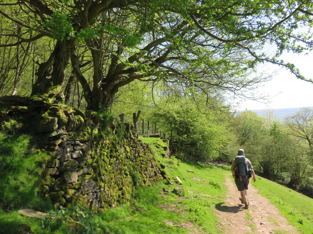
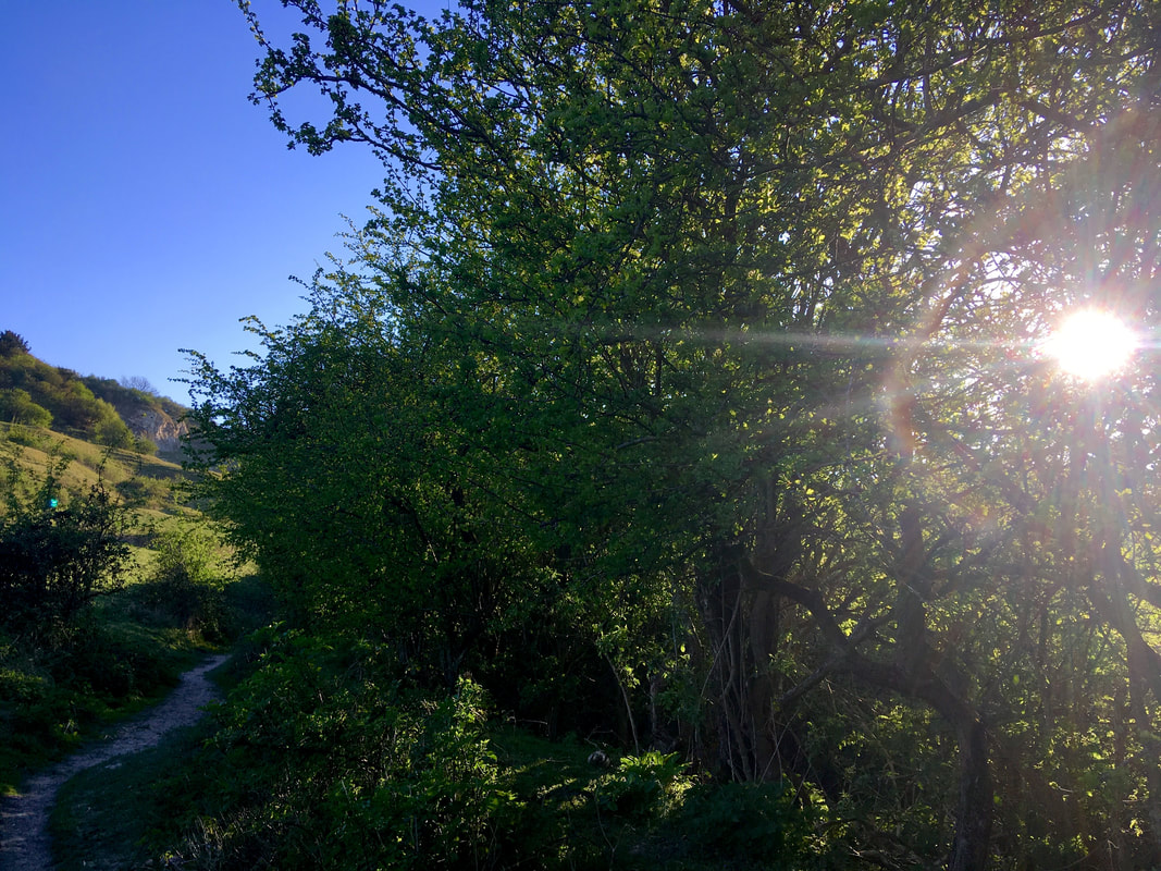
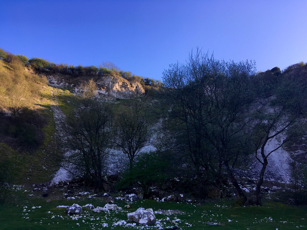
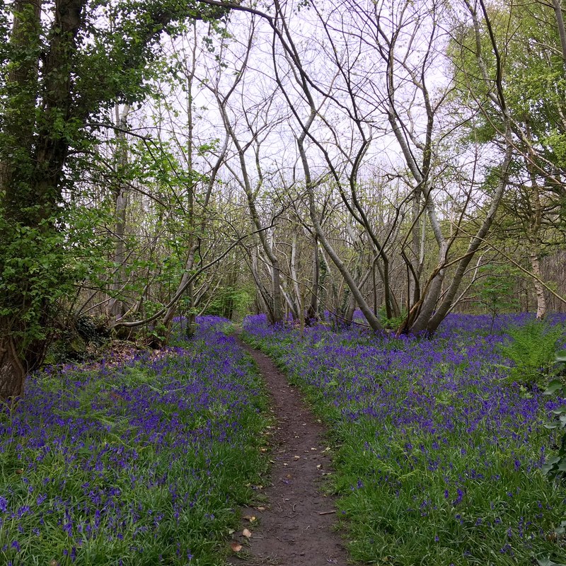
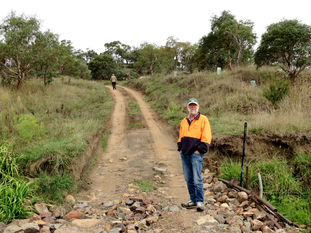
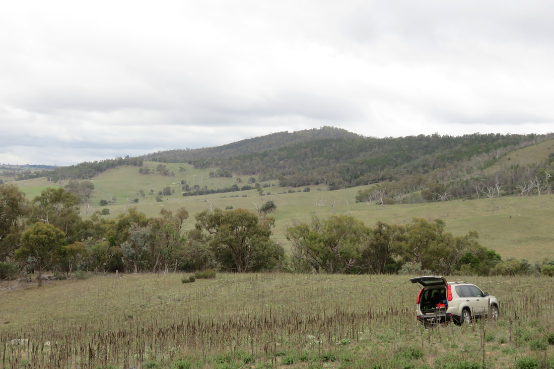
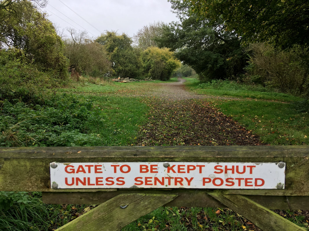
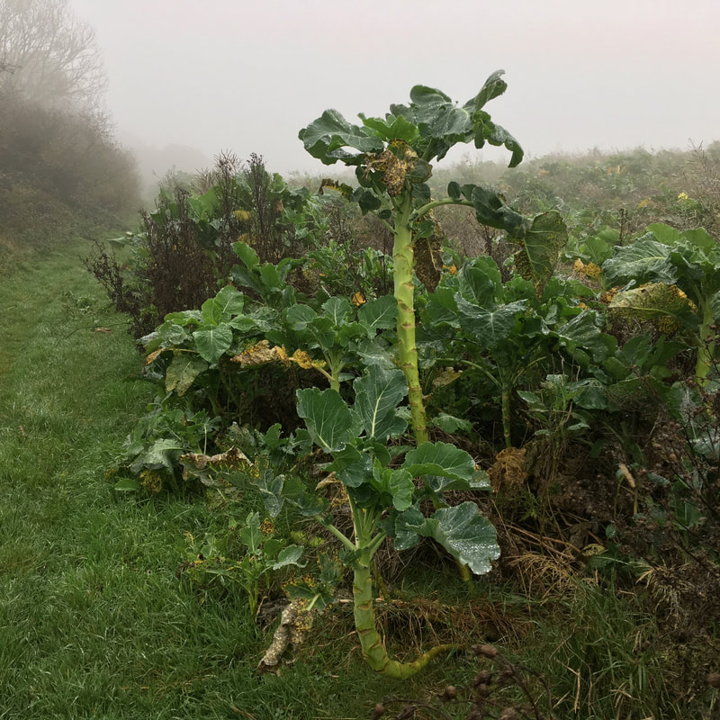
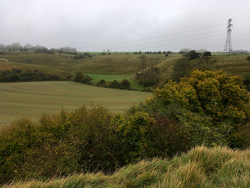
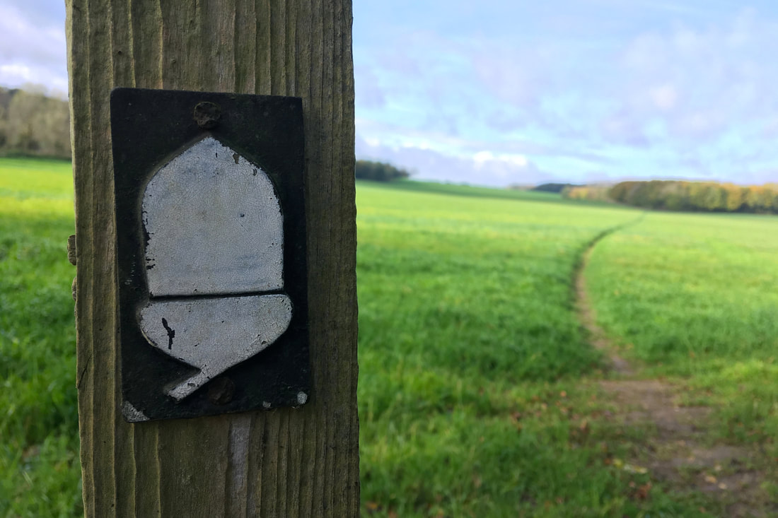
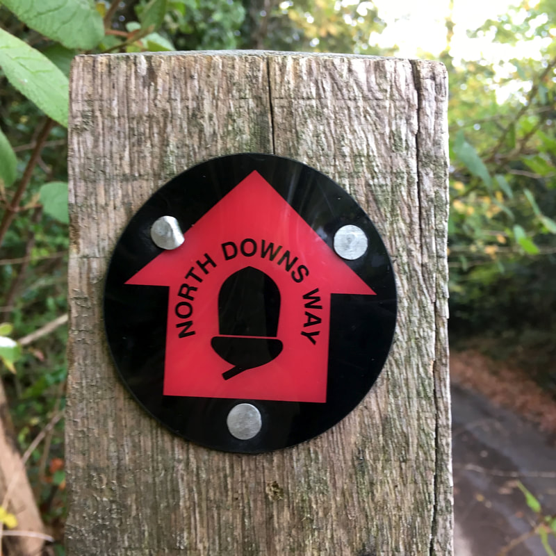
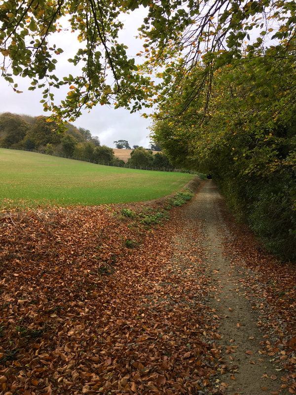
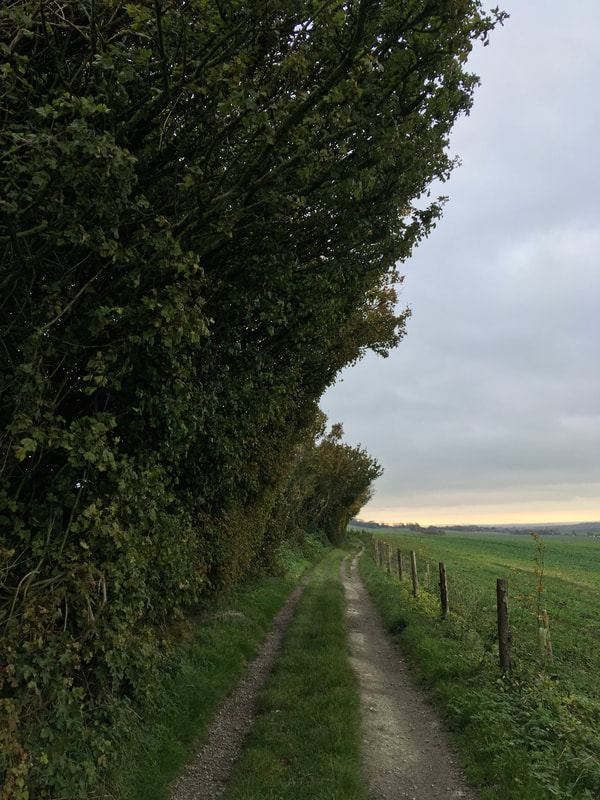
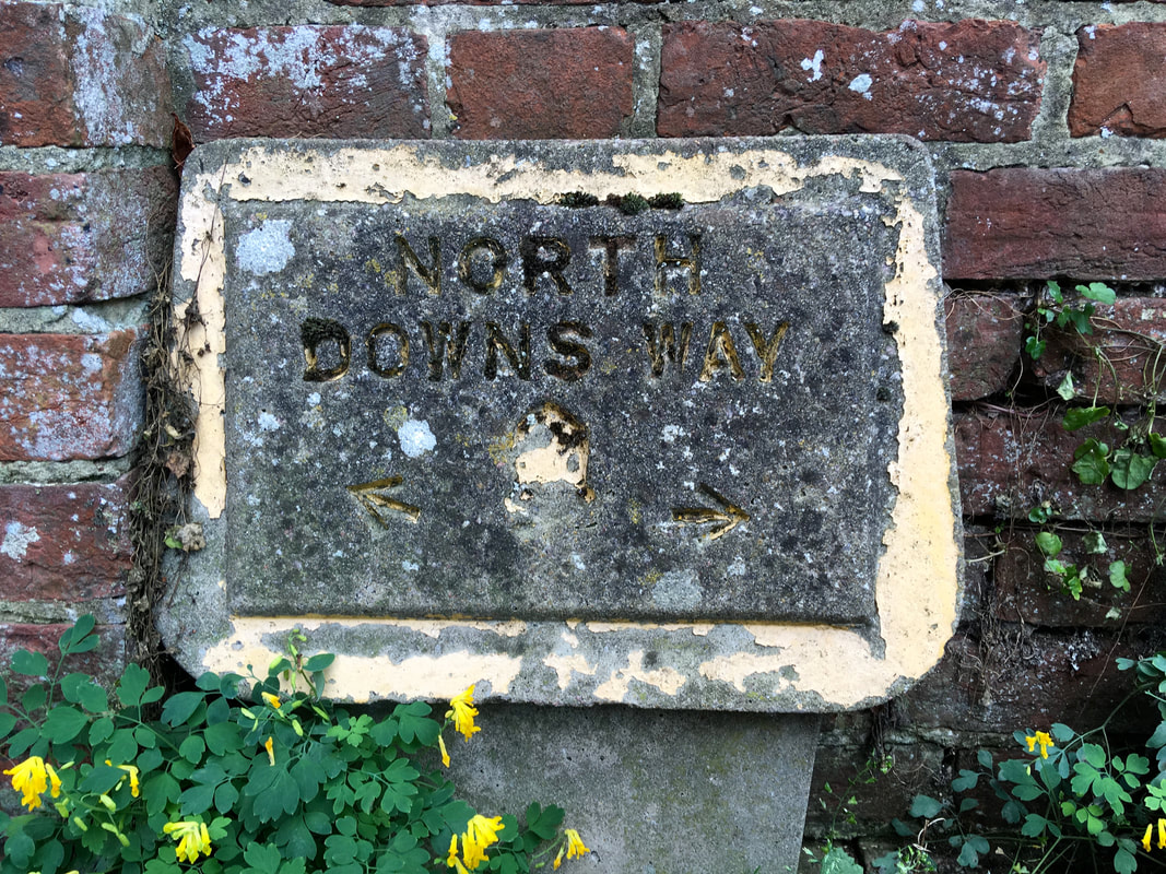
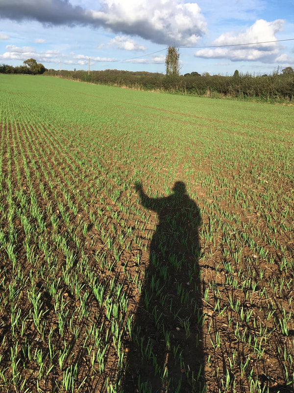
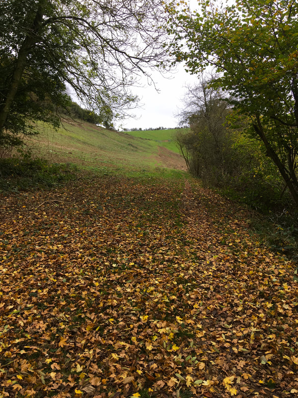
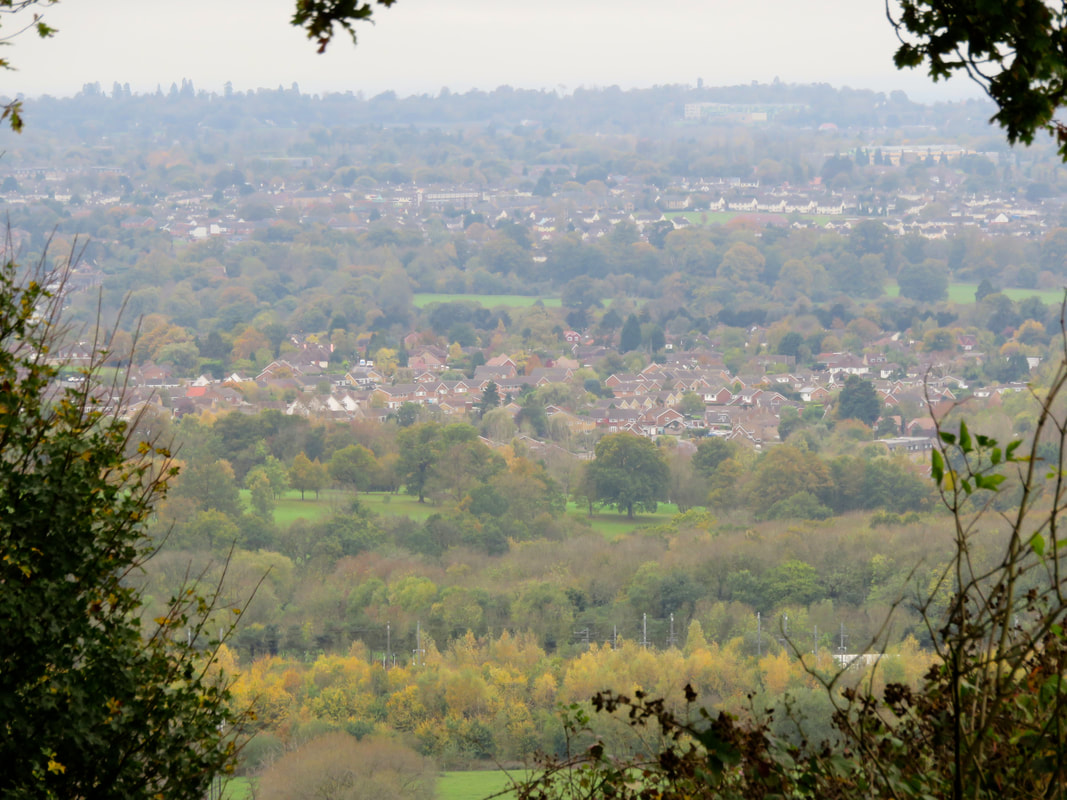
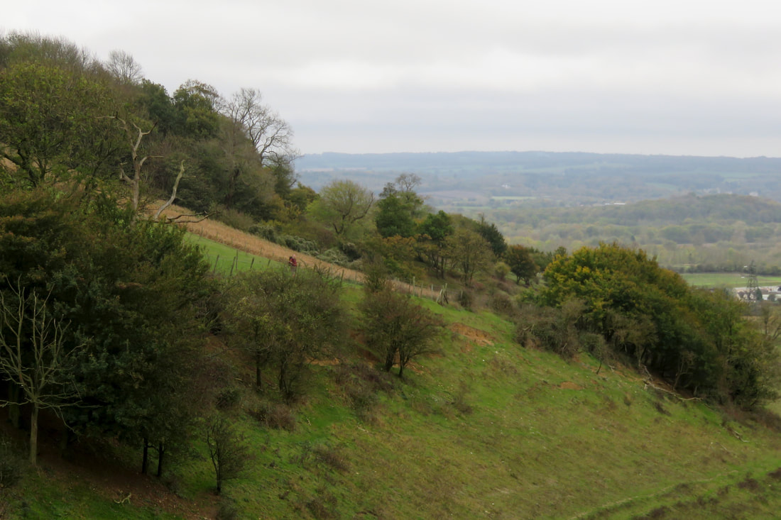
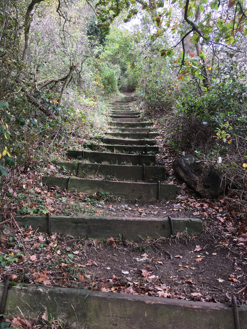
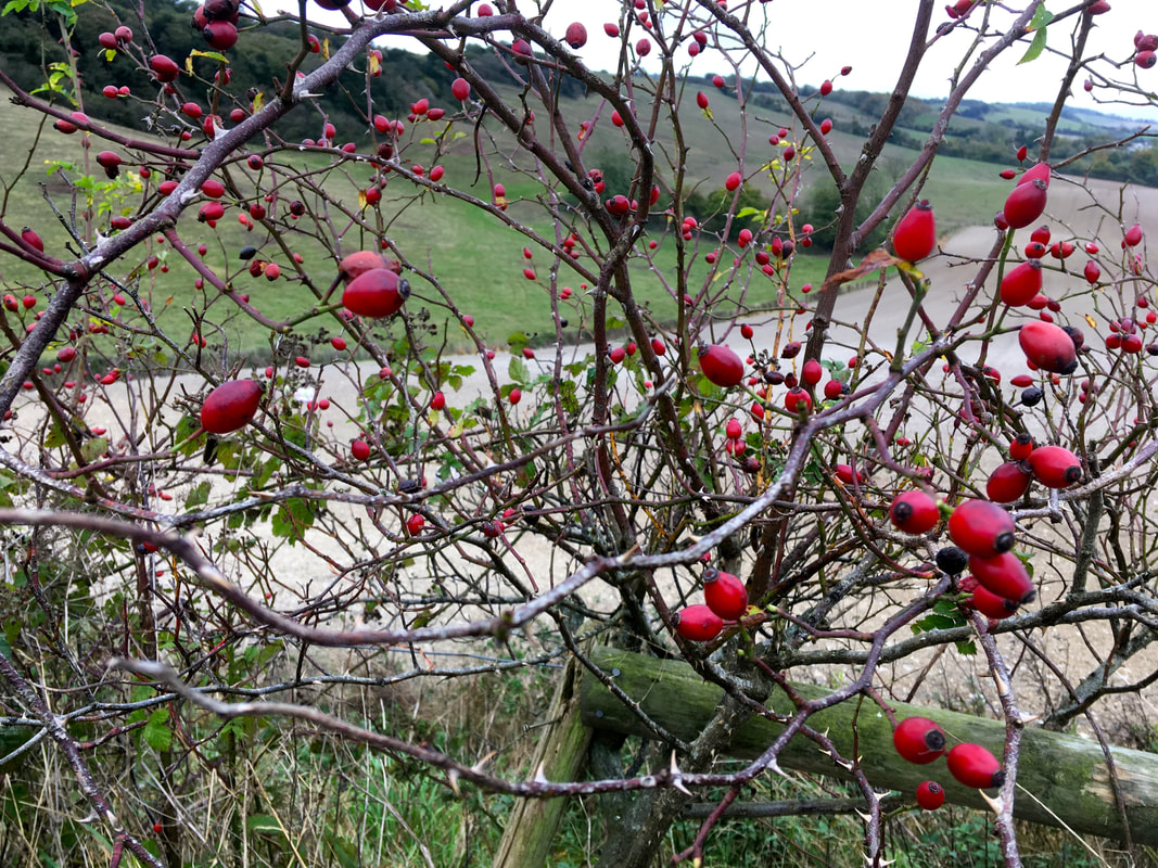
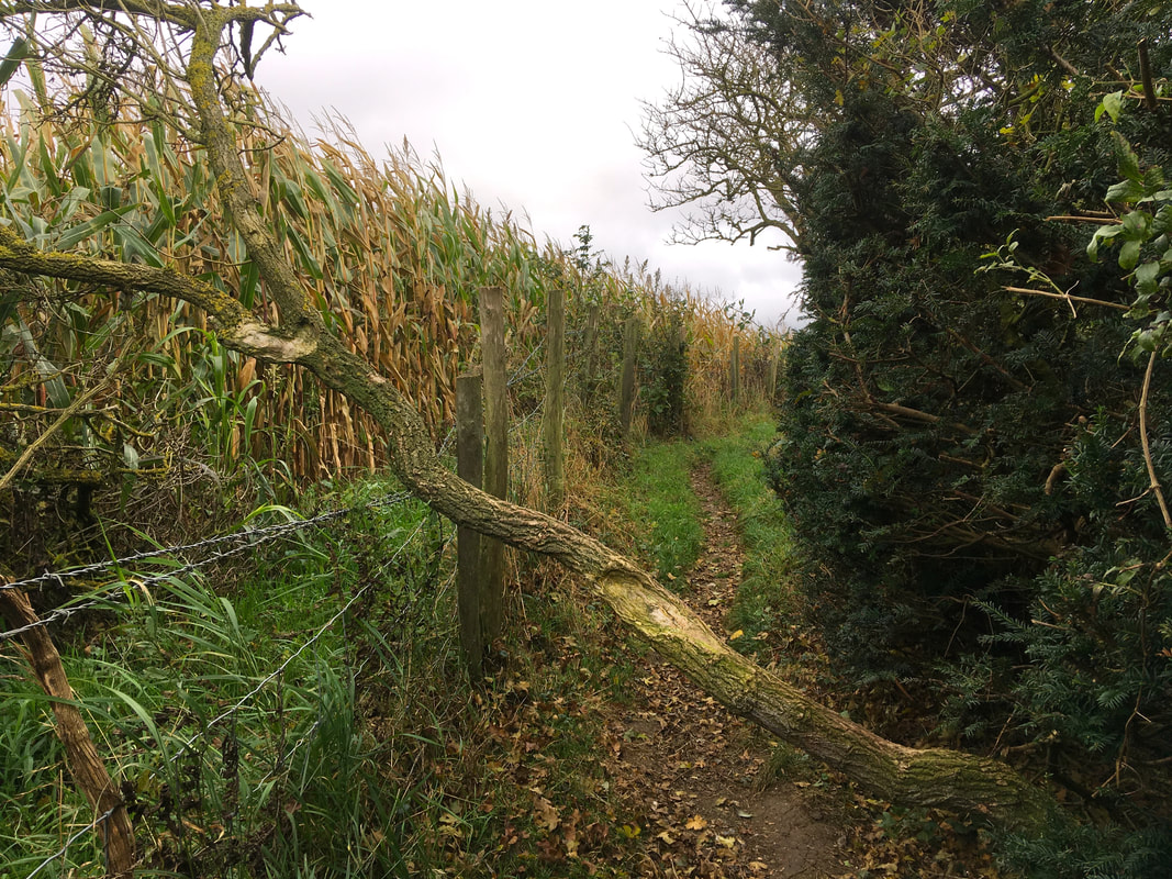
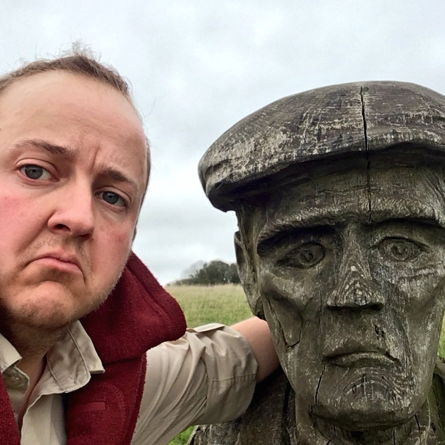
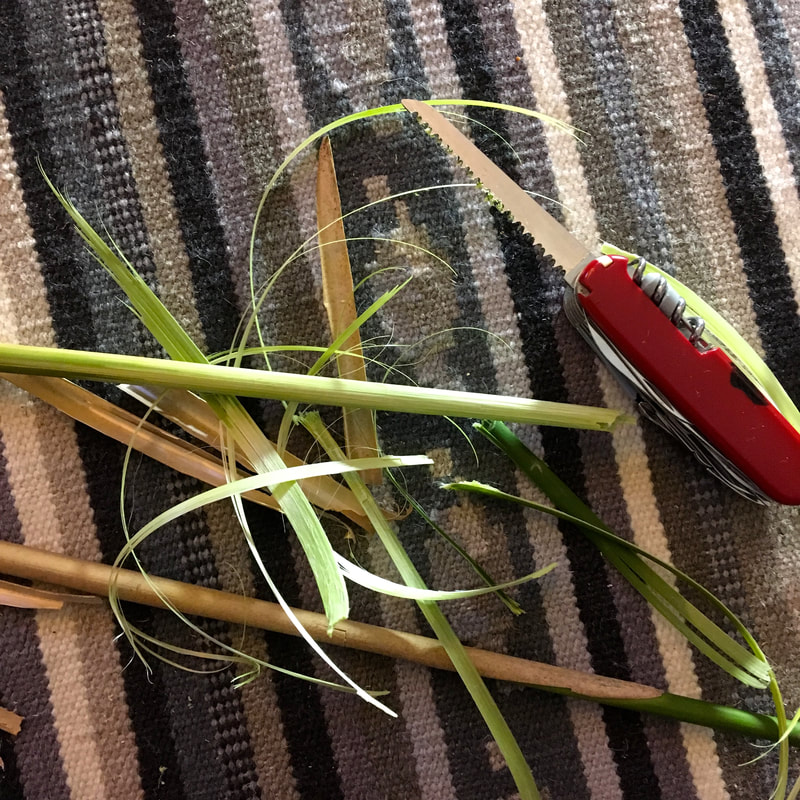
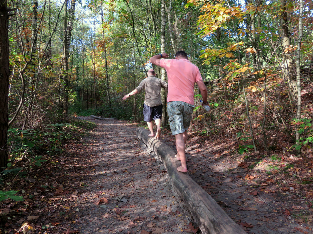
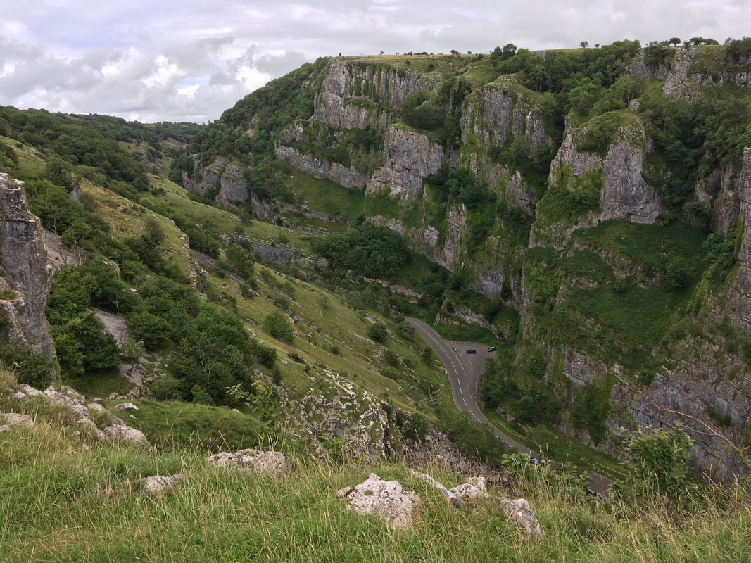
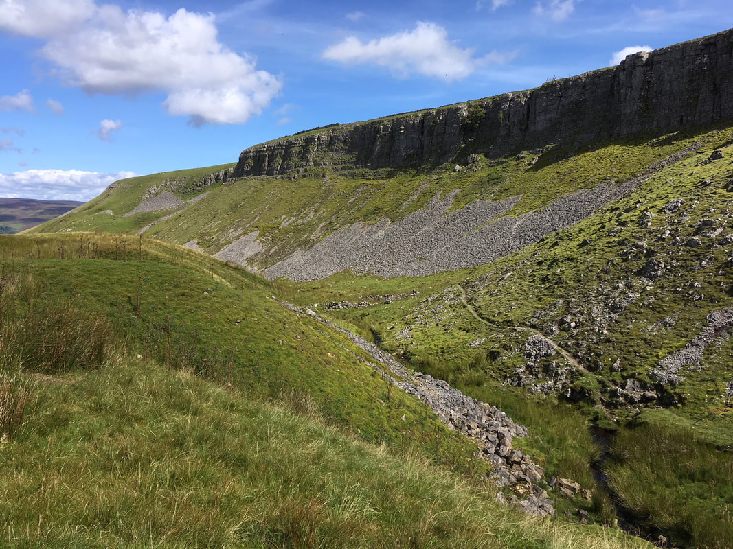
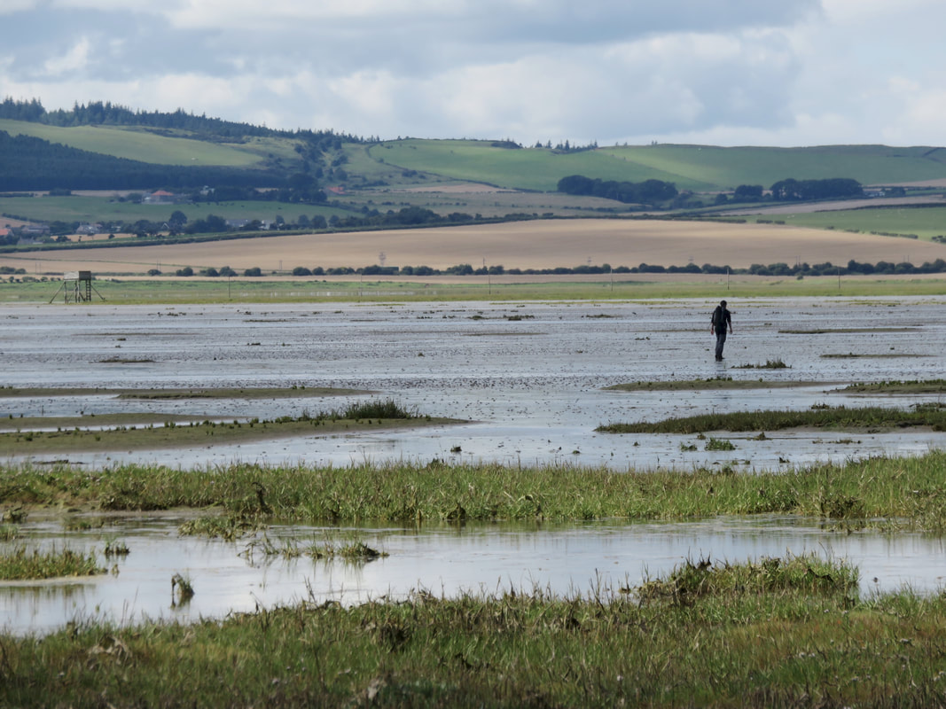
22 June 2018 - I set off walking down the wrong track, without a map or phone. I figured I'd gone astray soon enough and decided I'd try to cut through back to the path I was meant to be on. It turned out to be quite a fun little adventure, with a bit of backtracking and a lot of rehearsing my best, "I'm so sorry, I think I'm lost!" in case I bumped into landowners or estate managers. 
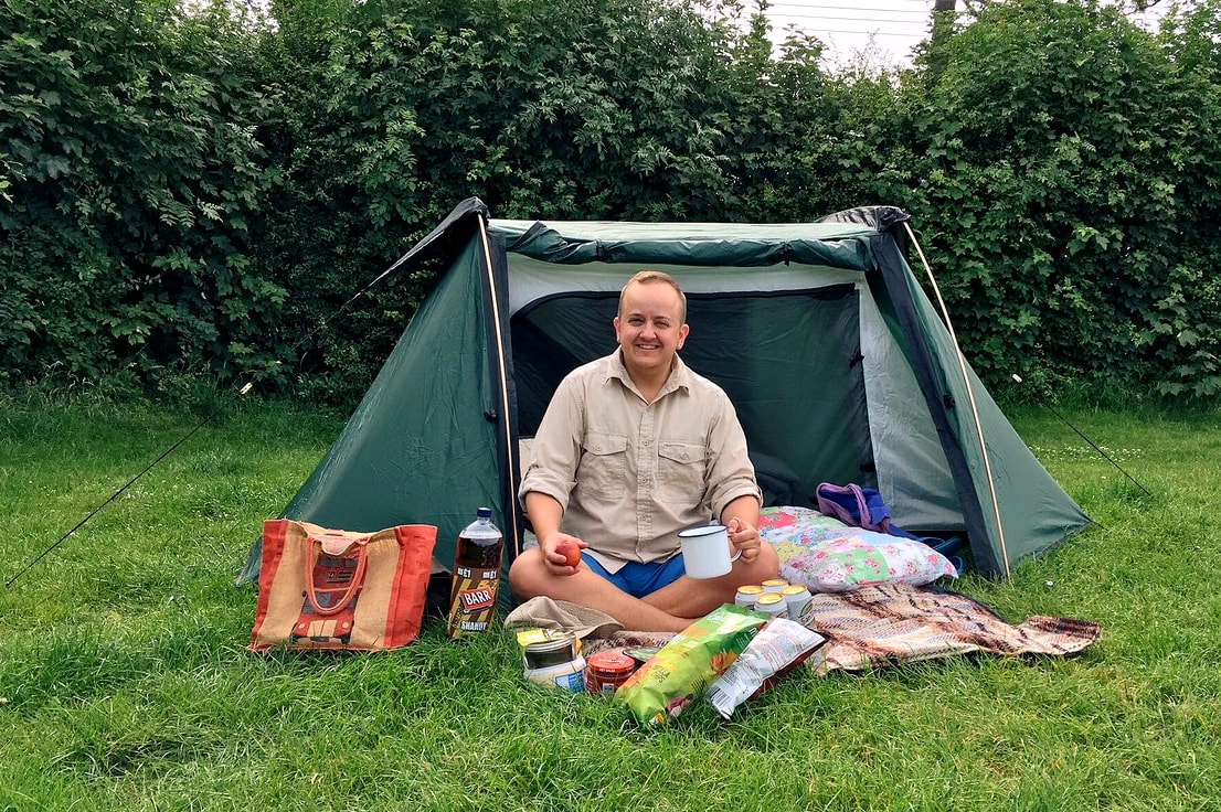
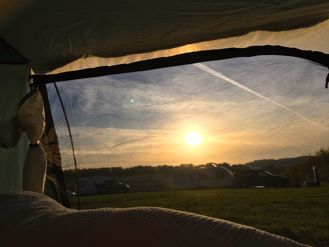
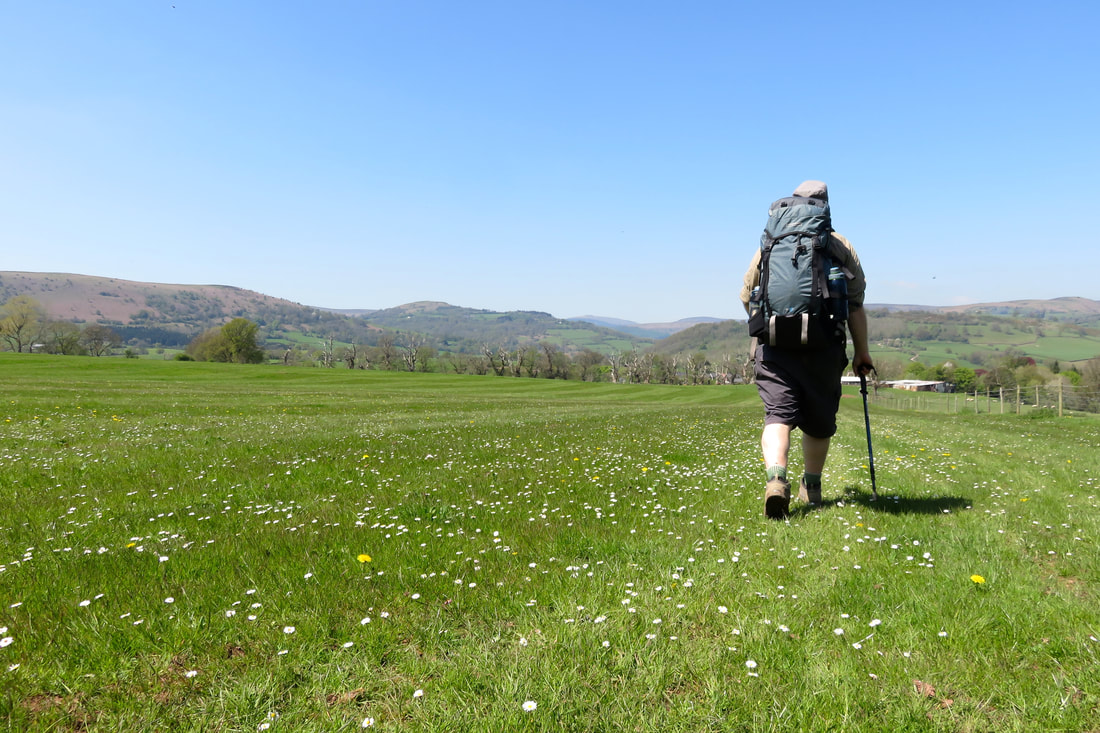
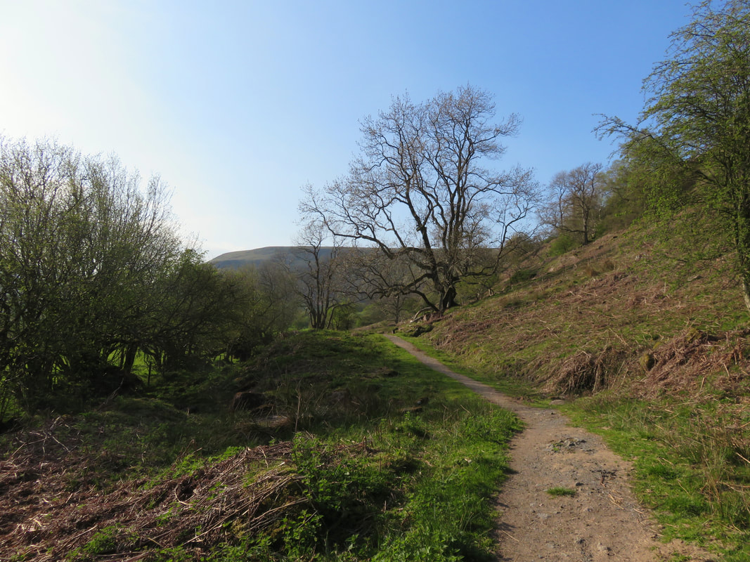
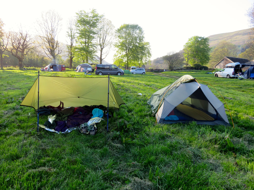
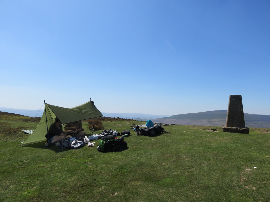
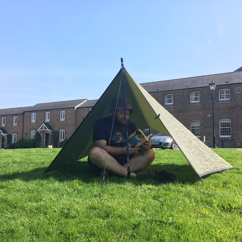
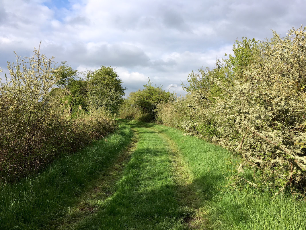
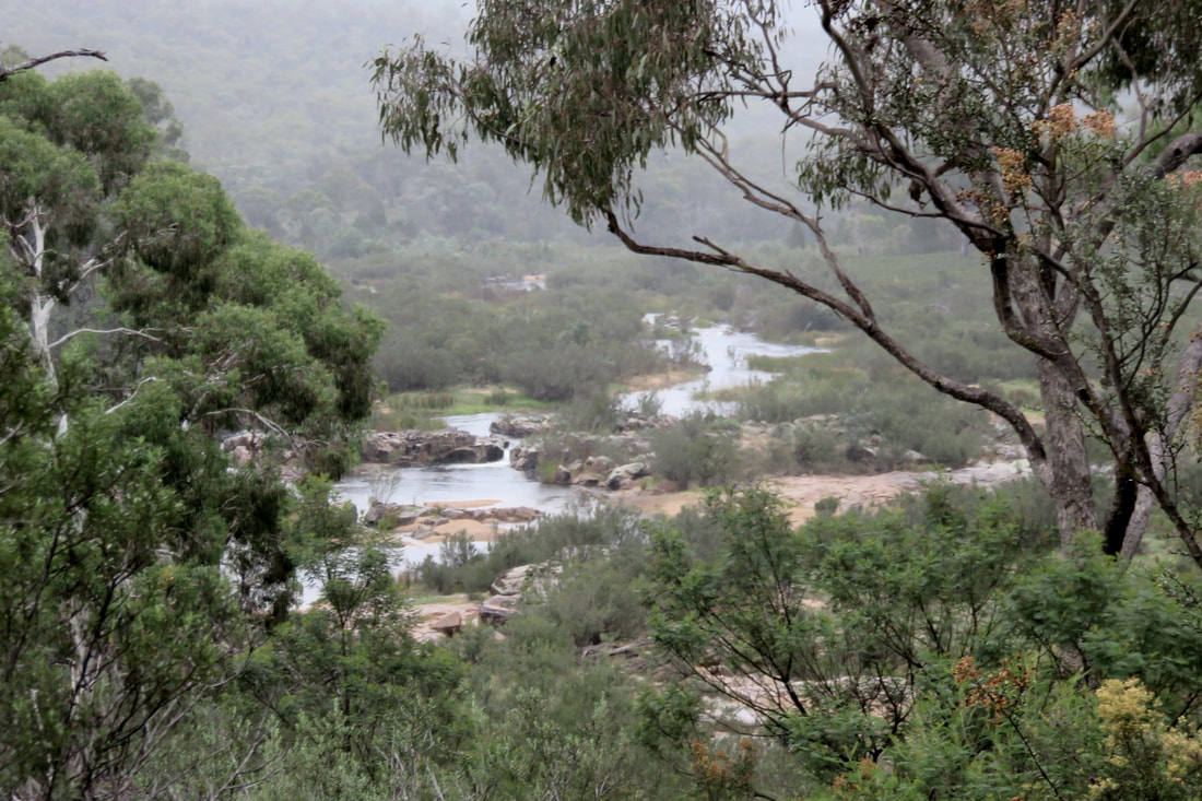
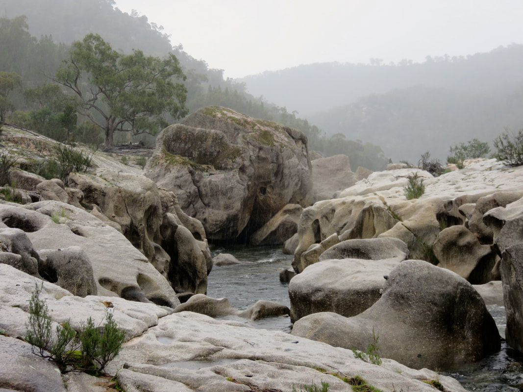
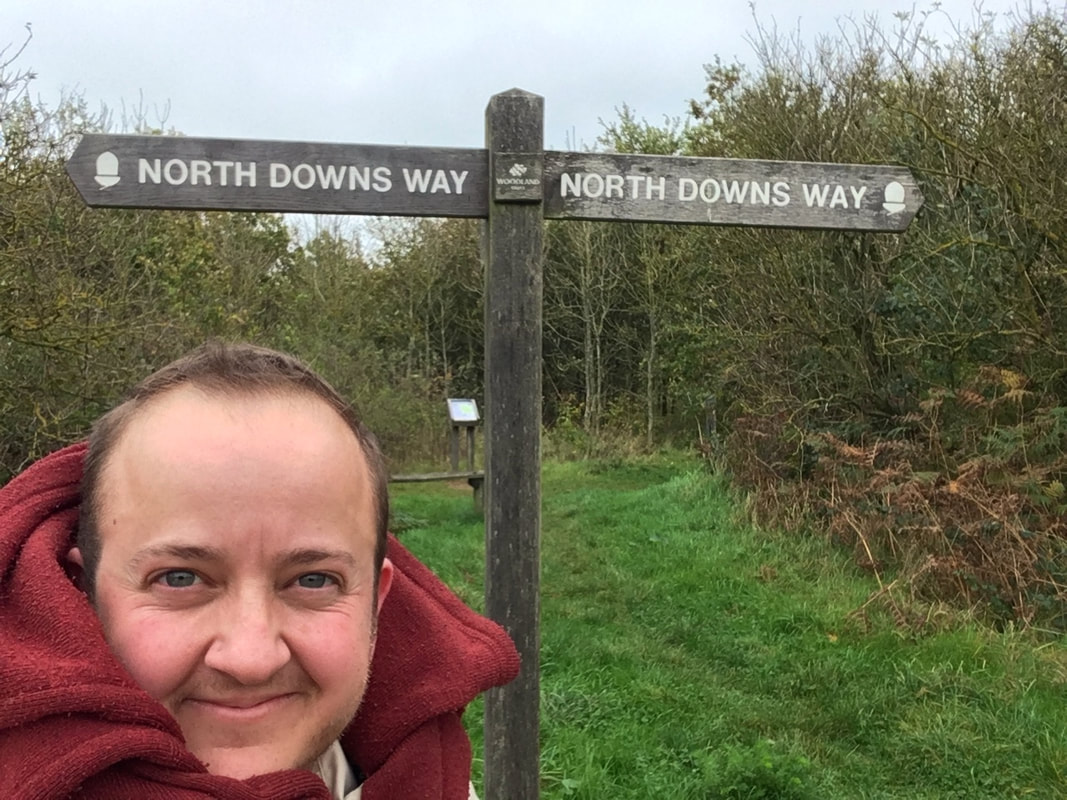
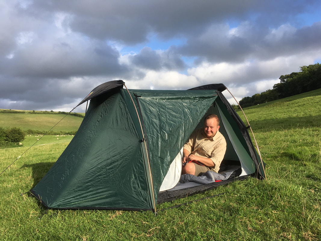
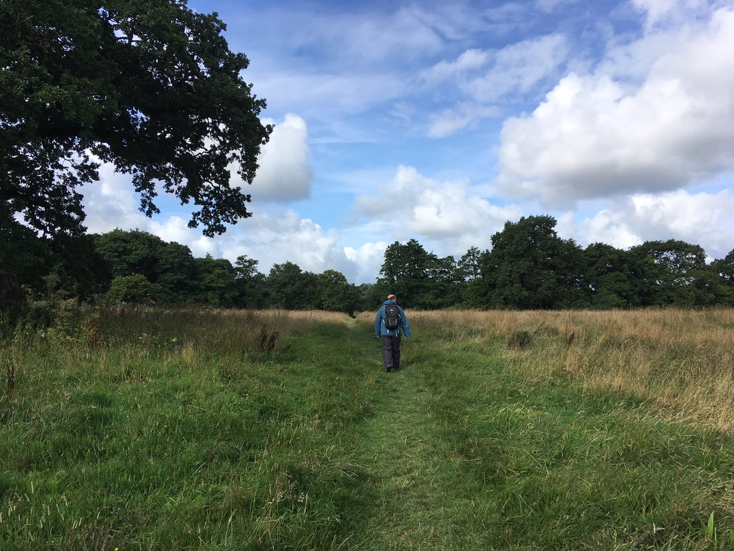
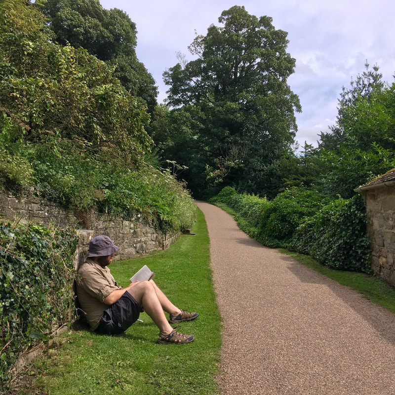
23 and 24 June 2018 - I cancelled my next SUP session due to anxiety. Instead, we went for a walk on a local footpath that we've never been on before (there aren't many of them left!) then went camping overnight about 25 minutes north of here. We have tried to spend solstice evenings outside for the last few years - usually we go for a summer solstice wild camp, but this time we decided it would be more fun to have a lazy time reading books in a campsite where we could take all our nice bedding and lots of food and nobody was going to come and tell us off. 
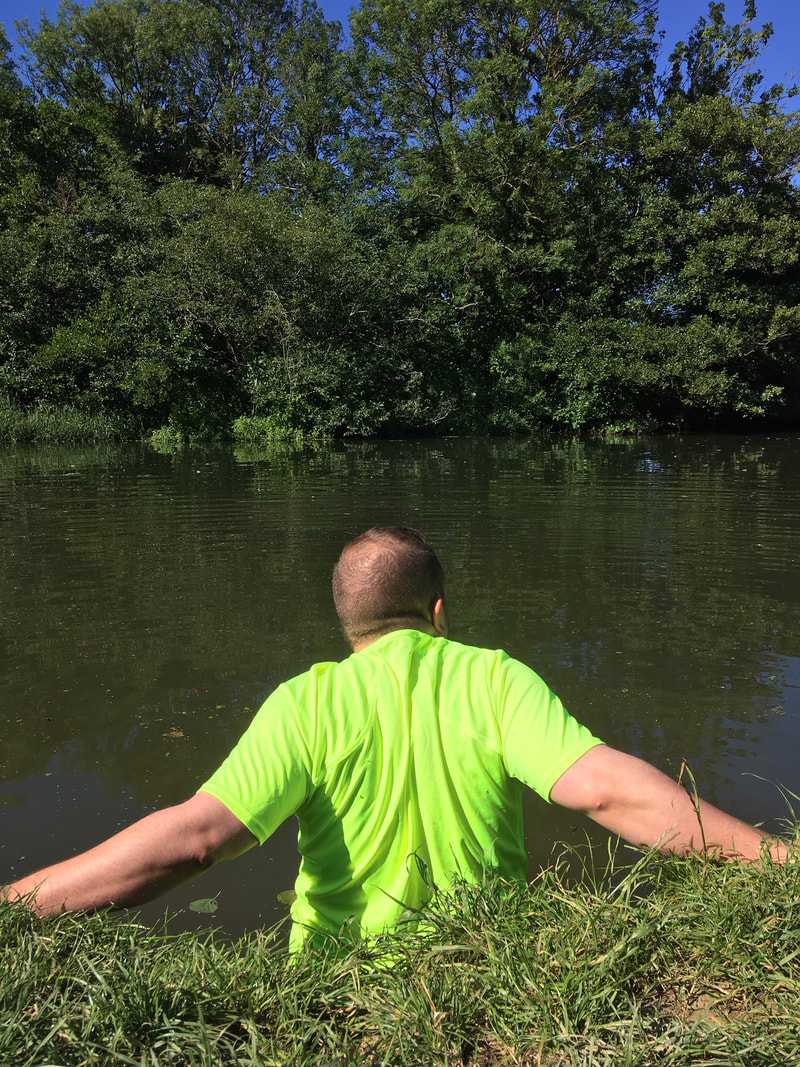
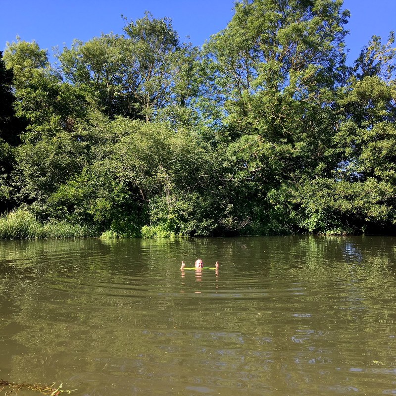
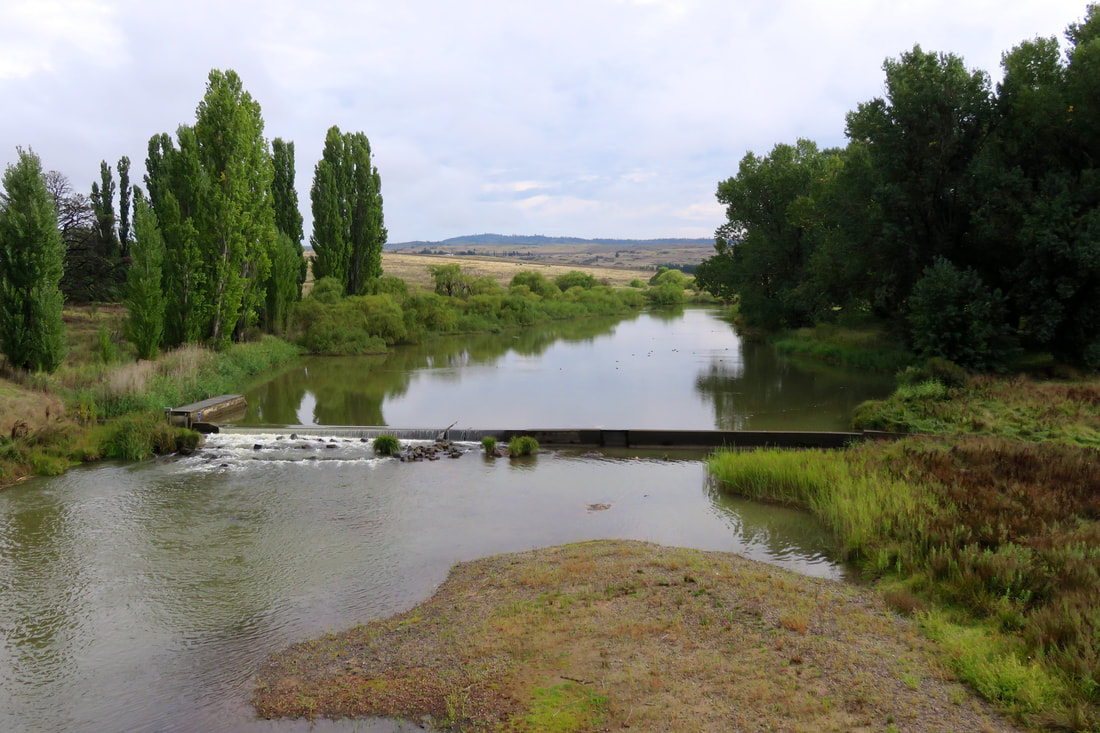
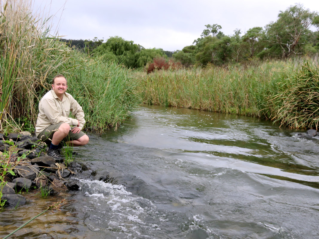
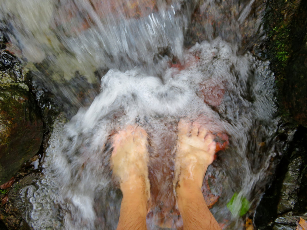
28 June 2018 - Finally, after years of thinking about it, I went swimming at Barcombe Mills, in the Ouse. I love river swimming and it was so luxurious to slip into the cool water after a stifling day (my work, like many UK buildings, doesn't have aircon and is not built to be good in the heat). The ducklings were a nice touch! 
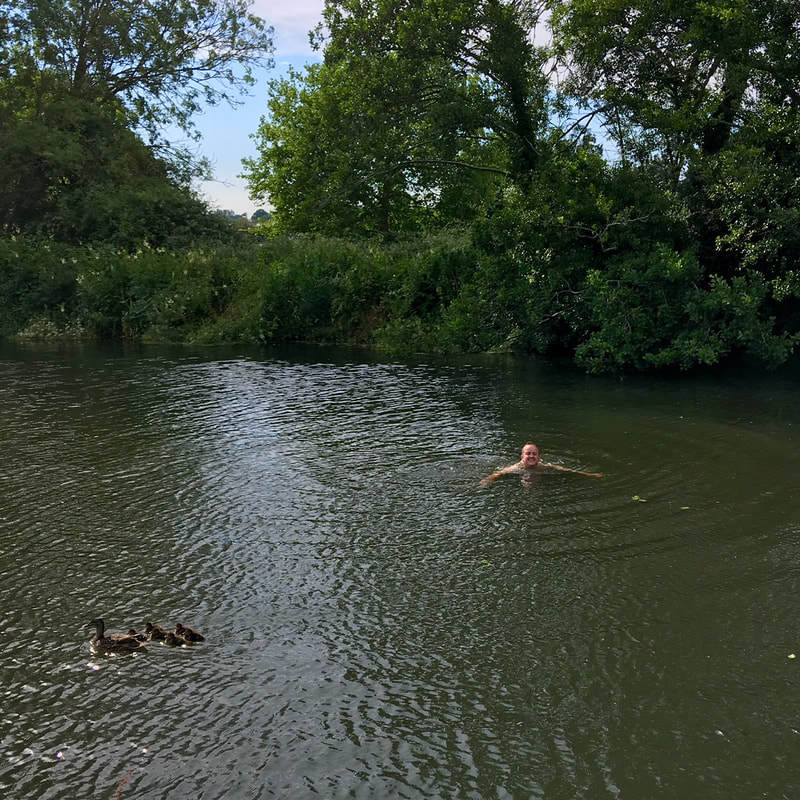
29 June 2018 - Barcombe Mills is kind of on our way home from work, which is very convenient. And it had been so nice the day before. And it was so hot again . . . So I jumped in the next day, too! Since then, I've been in several times. It's so refreshing. I love it! 
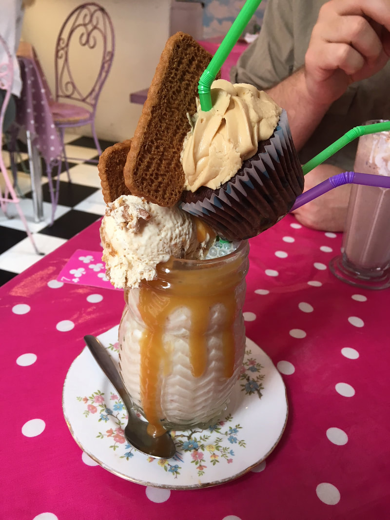
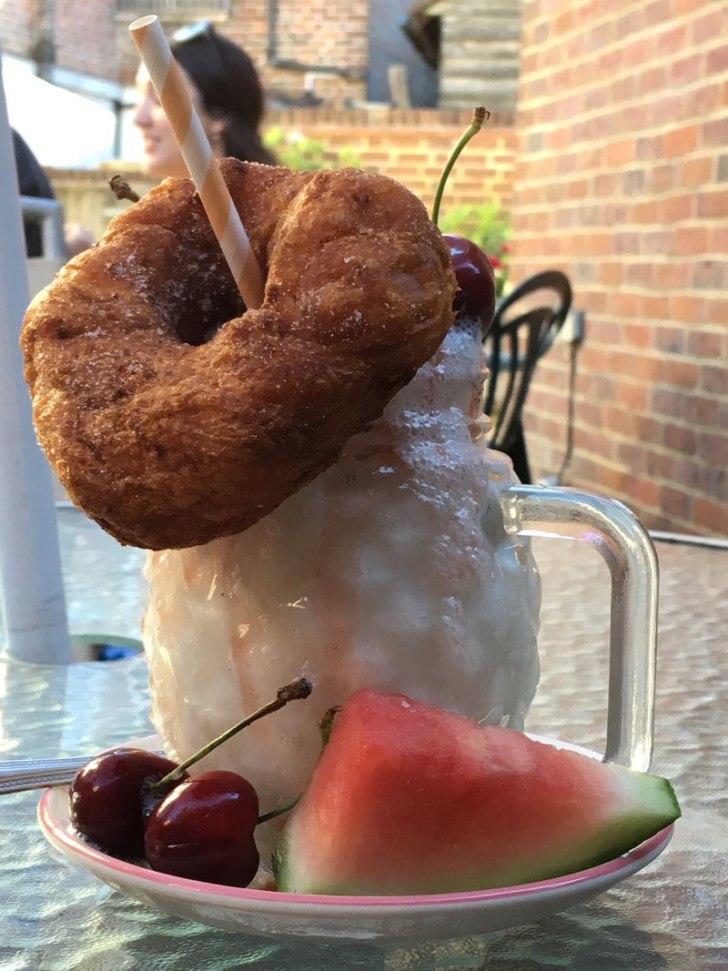
Special shout-out to Skarlett's - a small local cafe that does diner-style food with lots of vegan options. I pretty much started and ended June with a freakshake: success! 
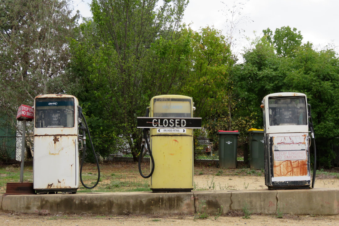
So, that was my June - no 30 Days Wild for me this year, but I still managed to get out and about! Now I'm looking forward to a month of summer holidays with plenty of walking adventures . . .
4 Comments
This poem/sound piece was my contribution to Queer Out Here Issue 01.
I thought I'd share it separately, mostly as a record for myself, but also for those who might be interested but who haven't yet listened to Queer Out Here Issue 01 for whatever reason. The text is below (it's not a precise transcript - it's the text from which the sound piece grew) and there's more info in the show notes.
As I am walking
I am becoming myself In this world In this way I am becoming A mind full of the present I am a movement I am a moment I am presented to myself As a footfall on grass As a breath in the breathing of leaves As a body Enveloped by sky and earth By rock by water by trees Defined on a path On a past dissolving On the wind As I am walking I am becoming aware Of place and pace And time measured in heartbeat And cloudheight As an ever unfurling Now breath Now step As I am walking breath I am becoming step I am a movement breath I am a moment step I am presented to myself as a footfall I am falling I am filling I am full
If you're queer and want to make an outdoors-related audio piece for Queer Out Here, submissions for Issue 02 are open until 1 September 2018. We'd love to hear from you!
Long weekend. Welsh hills. Gorgeous weather. Great company. Lots of hard walking. In short: fantastic! We left work a little early on Friday of the long weekend and drove straight to Abergavenny/Y Fenni, meeting our friend Paulina at our hotel (she was over from Poland). It was great to catch up during dinner, but we were all pretty tired, so it was an early night. Day 1 - Abergavenny to LlanthonySaturday dawned clear and bright - a far cry from the constant cloud cover forecast on the BBC weather app! - and we set off after a hearty breakfast. We remembered just in time for a short detour to a cash machine that the campsite that night was cash only, before we crossed the Gavenny River and headed up a shady lane, over a golf course and into farmland. Ysgyryd Fawr (known to many as “the Skirrid”) loomed ever closer. And then we were climbing - up from the carpark, steeply through the woods, steeper and steeper, then finally up onto the clear ridge. We stopped often to admire the view and to catch our breath. Dan and I have been here a couple of times, but this was the first time with big packs. Yeah, it was a bit harder! Having done the climb before, we two were prepared for the many false summits on the way - I felt for Paulina when she reached yet another ‘top’ only to see there was more climbing to do. But we got there! We rested at the summit and had a good snack while trying to trace the route we’d be taking over the ridges of the Black Mountains. It was a gorgeous day and we felt lucky to be out in it. Soon it was time to go down the hill. And I mean down. See, the thing about Ysgyryd Fawr is that one approach is quite gradual (believe it or not, that was the way we’d come up), while the other drops off almost vertically. The descent took all our concentration. Paulina actually took off her pack and rolled it down the hill at one point so it wouldn’t pull her off balance (minor casualties: the block of cheese and a few oatcakes). My toes were threatening blisters by the end of it, from gripping and sliding and sometimes knocking on the ends of my boots. In the valley, we passed an old farm with peacocks, grabbed a pint (of lime and soda!) in the Skirrid Inn, spoke to many lambs, sheep and cows. Dan and I tried to translate things into Welsh (or English, if it was already in Welsh) and possibly impressed Paulina with our limited knowledge. We’d planned a late lunch at the top of Hatterrall Hill, but the heat dictated an earlier rest stop in the leafy shade beside a quiet lane. We ate delicious camembert with slices of apple and some sorrel I foraged from the verge. Nice! This was the first time we’d done an overnight walking-camping trip like this with a friend, and it was really fun. I have lots of memories of laughing about things - many that now puzzle me (why was the cheese so funny?) - and it was lovely to be able to introduce Paulina to a place we really like. On Hatterall Ridge, we found ponies and foals, an interesting looking bird (we later discovered it was a wheatear), an old fort and a QR code that gave us a history lesson about King Offa and the Offa’s Dyke Path, which converges with the Beacons Way for a few miles here. Oh, and lambs, too. (Paulina probably has a whole coffee-table book full of lamb photos from this trip!) It was pleasant to have a little bit of flatter walking along the ridge among the heather and whimberry (wild blueberry) bushes. We had great views over England on one side and Wales on the other, with the late afternoon light filtering through a thin haze into the green valleys. And then we started dropping down the hillside, towards the distant ruins of Priordy Llanddewi Nant Hodni/Llanthony Priory and the campsite that we hoped would be home for the night. Paulina kept us distracted with important topics such as, “What is the best kind of pasta shape?” and “What are your favourite pizza topping combinations?” At Llanthony, the campsite was pretty busy, but there was still plenty of room for us. We set up the tent (for Paulina and Dan) and tarp (for me), then went off to the little pub beside the priory ruins for dinner. We all agreed it had been a pretty excellent day. By the time we got back to our site, a layer of dampness had settled over everything - including the sleeping bag I hadn’t yet tucked into the bivvy. Oops! Still, we made pretty short work of cleaning ourselves up and hopping into bed before 9pm. I slept much better than expected, warm and relatively comfy. I only really woke up once in the early morning, with the moon shining directly into my tarp like a big lunar spotlight. Day 2 - Llanthony to LlanbedrOn Sunday morning, I think I was the first person up in the whole campsite. I walked to the toilets accompanied by the songs of robins, blackbirds, tits, jackdaws and a cuckoo - amongst others. The tent and tarp were both saturated with dew/condensation, but our gear was mostly fine. After a quick breakfast we packed everything away and made tracks to the first big climb of the day. The sun was blazing and it was already pretty warm and humid. The path up towards Bâl Bach was beautiful, with views behind us to the priory, a stream tumbling down the hillside, bright spring leaves and a clear blue sky. But boy howdy, was it steep! (At least it was to us. We were passed by someone running up the path!) We stopped frequently and played tag with a Duke of Edinburgh group ahead of us. At the top we spoke with the D of E group properly - they were on a practice run for their gold award, having come from Abergavenny over the Sugarloaf/Y Fâl the day before and being due in Hay-on-Wye on the Monday afternoon. We parted ways with them there, as they continued right up the ridge and we turned left towards a large cairn (where we saw some more wheatears and even a few lizards - a rare sight in the UK) and down into the next valley. As we descended, Paulina’s new boots completely fell apart (the glue bonding the sole to the boot had been disintegrating since the previous afternoon). Luckily, she had a pair of running shoes to change into, and we loaned her our walking poles to help her ankles on the descents. Dan and I had brought the poles mainly for my tarp set-up but they did make a difference while walking. I’m thinking I might get myself my own set of poles, as I find my joints and feet hurt less and I can travel more quickly when I use them. In the valley, we stopped by a little stream and bathed our feet in the icy water. Well, Paulina and I did. Dan doesn’t often take his boots off during a day of walking. I love him very much, but he is definitely a fool in this regard! And then? Straight back up the next hill! We’d promised ourselves lunch at the top, and we were sticking to it this time. There wasn’t much scope for talking, as we all put our heads down and slogged it out in our own time. A couple of escapee sheep ran up a lane ahead of us, bleating at their compadres in the neighbouring field, only turning back and high-tailing it past us when they reached a closed gate at the end. The ascent to Crug Mawr was again full of false horizons. Dan would stop ahead of me, I’d call out, “Does it get flatter?” and he’d call back, “A bit! Sort of!” and I’d relay that to Paulina behind me. But eventually we could see the trig point at the top. Dan and I put on a bit of speed so we could set up the tarp for shade before Paulina arrived. We also staked out the tent and fly to dry out, which they did in about five seconds in the sun and wind. We had a long and well-deserved lunch break, eating our broken block of cheese with oatcakes and wild garlic. It tasted amazing. We also made the call to take the road around to Crickhowell rather than climb yet another hill in the heat, as we were all feeling a bit woozy and were getting low on water. Knowing we’d climbed the last hill perked us up (or maybe that was the energy-nougat-that-tasted-like-camping-shop?) and we started down the long descent, watching and watched by sheep and ponies. We discussed capitalism, neoliberalism, depression, anxiety, notions of community and other such interesting things. We met a couple of people heading up over the hill to visit their neighbours - it reminded me a bit of growing up a couple of kilometres and one large valley away from our the-people-next-door. We left the Beacons Way (which, incidentally, was well signposted throughout) and navigated our way down, down, down to a shady little stream. Which, of course, meant Paulina and I had to go paddling again. As we splashed, we decided to change plans a second time, head for the village pub in Llanbedr and call a taxi instead of walking to Crickhowell. After all, we were here to enjoy ourselves. So that’s what we did. The Red Lion is a lovely pub, there was lovely weather, we drank some lovely soft drinks and shandies and beers while waiting for the taxi. Our taxi driver was lovely (he breeds miniature pigs! and models beards!) and we had lovely chats while we sped through the lovely Usk valley back to Abergavenny/Y Fenni. From there, it was a short drive to our lovely Airbnb - and an extremely lovely bath! We were all exhausted, but our host had lit a fire in the fire bowl and invited us to drink a beer and watch bats. She even had a bat detector. So we sat out for a while chatting, spotting bats and enjoying the sunset, before I had to admit defeat and go to bed. On Monday, we had a fresh breakfast of fruit salad while sitting in the dappled morning sun. It was quite delightful. We took a slightly slower route to drop Paulina off at Reading Station - driving down the Wye valley, stopping at Tintern for a sandwich, crossing the Severn, heading to Avebury (the carparks were too full to stop there), spotting the white horse carvings and stopping for an uninspiring pub lunch. We agreed it had been a great weekend! (After saying goodbye to Paulina, Dan and I took the back roads to Battle, stopping for a short leg-stretch at Winkworth Arboretum, owned by the National Trust. It was full of bluebells! I’d love to visit again when we have a bit more time.) If you're interested, here's more about the Beacons Way, or check out some of our other Welsh adventures!
I can't tell you how relieved I am that spring is here. Actual light! Actual warmth! Actual greenery! The world is waking up and I am cheering up.
And so, for no reason other than I'm happy, let's have some April photos. These aren't masterpieces, just a selection of pics from the iPhone (some mine, some Dan's), but does anyone really care about that when there are blossoms and blue skies and sunshine to be enjoyed?
(Just a little tune to look at photos by!)
Stuck in traffic around the back of Lewes, we decided to stop and explore Malling Down Nature Reserve. A brilliant idea, it turned out!
And so, we head into May. I want to gobble up as much lovely springtime I can, and I'm looking forward to some nice walks and trips to Wales, Oxfordshire, maybe Bristol . . . What are your plans?
Queer Out Here Issue 01 was released in February. Woohoo! It’s been a really exciting project - starting from deciding to put it together, to creating the structure to support it, asking people to contribute, then working on the episode. My co-editor Allysse and I have each answered a few questions about the process so far - you can read mine below and Allysse's at Beste Glatisant.
Did you have any expectations for Queer Out Here - and how did they match with the reality?
I tried not to have too many expectations, but I did have hopes! I had no idea what kind of response we’d get to our call for submissions, so I was really happy with the number and range of pieces we received. We ended up with enough content to make a nice, fat Issue 01 - longer than I’d expected - with creative writing, sound art, conversations, field recordings and monologues/musings all represented. Overall, I probably expected more stories about specific events or activities, and possibly a few more essays/academic approaches to the theme, but it was a pretty good balance. The process of putting the issue together was more time-consuming than I’d thought - but it was fun! Allysse and I spent a lot of time building the infrastructure and doing background work, chasing up submissions, choosing the running order, recording the links and transcribing. We’ve also learnt a bit about the technical side of things - especially the distribution of podcasts (or things-that-are-kind-of-like-podcasts).
Are there any podcasts (or other media) that inspired you more than others for the creation of the zine?
The initial spark came from listening to the Tough Girl podcast by Sarah Williams and wondering if there was anything similar for queer/LGBTQIA+ adventurers (there isn’t, as far as we know!). Allysse and I didn’t have the time or energy to do weekly, long-form interviews like that, so we knew we'd have to take a different approach. We’re also both really interested in the more creative side of audio as a format, and from that perspective I took inspiration from the creative journals I remember from uni and the collaborative zines I’ve enjoyed or been part of since then. When it comes down to it, we had a hankering for stories of queer folks doing stuff outdoors - we wanted something like this to exist, and sometimes if you want something to exist you have to create it (or facilitate its creation) yourself. And that is quite a zine-y attitude.
Queer Out Here Issue 01 - cover art by Emma Charleston.
How did you go about organising the pieces into a coherent whole for the issue?
Ooh, this was interesting! Obviously, until we passed the submissions deadline, we couldn’t really decide on a running order. Once we had all the pieces, Allysse and I both went away and created our own track lists (I made some colourful spreadsheets, of course), then reconvened the following weekend to talk through our ideas. We’d independently come up with some of the same notions - like a preference for Adele’s piece coming first and Wendy’s coming last, and about the links between some of the pieces. A few pieces were harder to place than others - for example, Belinda’s poems are so powerful that we felt the piece following them needed give the listener a bit of space to come down. Doing this was a bit like curating and planning an exhibition, with questions about theme, tone, format, creator and length all playing a part. We tried to mix things up - for example, not putting all the poetry, or all the American accents, or all the long pieces together - but we also wanted the zine to have a momentum, and to flow from one piece to the next rather than chopping and changing. In the end, we kind of created chapters within the zine, like rooms within a gallery - sections of about four pieces each, which we felt spoke to each other in some way.
What has been the most interesting thing about making Issue 01?
Is it a cop-out to say “the whole process”? Like I said above, we started Queer Out Here because we wanted to listen to something and we couldn’t find it - and it was exciting to learn that other people obviously wanted to share and listen to these stories, too. I loved hearing all the pieces that were submitted - the range of topics, the different styles, the personalities of contributors, all of it! Overall, though, project is something of an experiment, so I’ve tried to approach without too many preconceptions and it’s been wonderful to watch it take shape so far.
What has been the most difficult thing about creating Queer Out Here for you?
Luckily, we didn’t encounter too many snags and hitches. Sure, there were a couple of technical concerns, but overall I feel like the two of us - and various helpful friends - managed to sort them out. The hardest thing for me, personally, was the process of approaching people and asking for submissions. I’ve never enjoyed cold calling, fundraising, and the kinds of things that mean asking people to do something for you. Although I am obviously invested in the idea of Queer Out Here, I still find the approaching-and-asking process rather anxiety inducing. Issue 01 features several friends and acquaintances, but outside of my usual circles I took quite a scattergun approach, which didn’t work so well. This is something I want to focus on for Issue 02 - finding new people and groups to approach, and doing that in a more personal way.
What are your hopes for future issues?
My main hopes are that people keep creating and submitting interesting pieces and that Allysse and I continue to enjoy working together. As well as more of the kinds of audio we feature in Issue 01, I would like to hear from people of colour, from Indigenous people, from people in countries outside of the UK, Australia and the USA, from older folks, from queer families and youth. I’d like to hear music, essays and documentaries, pieces about sport (team, solo, extreme, everyday), epic journeys, cultural geography, homelessness, relationships, ecology and conservation. One thing I loved about Issue 01 was getting submissions from people who hadn’t created much (or any) audio before, as well as from people who do this professionally. I hope that mix continues. It would be amazing to hear from previous contributors as they continue to explore the possibilities of the medium, too.
You can listen to Issue 01 here, and on iTunes, PlayerFM, Stitcher and a few other places. Let us know what you think! Submissions for Issue 02 will open in May 2018.
What are you working on? What do you want to achieve by the end of the month? And what do you need to do this week to reach those goals? I wrote about our online goal-setting group The Monthly Weeklies over at The Research Whisperer . . . Many people are familiar with this approach to time and project management - figuring out your big goals and breaking them down into smaller steps. But sorting out what you need to do is one thing, while actually following through is quite another! This can be especially difficult if you operate in a more solitary environment, as do many writers, artists, researchers, and people involved in projects outside of their paid job or formal study. Without the everyday structure of collaboration deadlines, team meetings, and so on it’s pretty easy to let the weeks slip by, to transfer an item from one to-do list to the next, to de-prioritise your own goals in favour of things that other people want from you. It can be hard to hold yourself accountable. I started The Monthly Weeklies online goal-setting group with this in mind. My aim was to create a structure that would help me think seriously about short and medium term goals, a place to record those goals and my progress, and a team of people who could help keep each other focussed and celebrate each other’s successes. The group started in September 2016 and, as the name suggests, it runs in monthly cycles with weekly check-ins. Members come and go, finding the structure useful in different ways. Benefits might include:
The fairly simple format of our group should be easy for others to replicate. If you're interested in setting up a group like this, or in learning about ours, please do pop over to The Research Whisperer to read more. . . Thanks to Tseen Khoo for inviting me to contribute to The Research Whisperer blog - the closest I've been to an academic publication for many years! After leaving the high country and passing through the reservoirs, weirs, tunnels, pipes, pumps and dams of the hydro scheme, the Snowy loops through the Monaro High Plains. Our exploration of this stretch was very non-linear: we spent a few nights in Dalgety, canoed the river upstream, wandered down dirt roads and did some (very tame) 4WD exploring of the remote, arid pasture hills to the south. I hope this post gives a flavour of the Monaro, especially around the Snowy. NB: This post contains photographs of a dead animals and bones. Dalgety Bridge over the Snowy River, first erected in 1888 to replace the previous punt that crossed a little upstream. Most people who see the Snowy as it travels through the Monaro see it at Dalgety. The Snowy emerges from the steep-sided gorges of the high country into the rolling farmland and grasslands of the Monaro. (The photo above was taken before we reached the Monaro proper, as we were hitchhiking to Dalgety - but you can see the scenery is already changing from the previous section.) “Monaro” is - or at least used to be - usually pronounced more “m’n-air-o” or “m’n-air-uh” than “mon-ar-o”, in keeping with previous spellings like “Menero” or “Miniera”. The range of spellings is a sure sign that the name was transcribed from one of Australia’s Indigenous languages, and most sources give the meaning as something like “high plain” or “plateau” or “breasts” - referring to the smooth, undulating hills. Christine Frances Hansen discusses the name in her dissertation Telling Absence (pages 26-27), which charts many possibilities, including the option that there wasn’t a language name for the collective area now known as the Monaro - rather, when asked, a local person answered “manyer” or “I don’t know.” Geographers usually describe the Monaro as a plateau, sitting above the eastern seaboard escarpment and below the Great Dividing Range - you can see the difference between the wooded hills of the Divide and the grasses of the Monaro in the photo above. Geologists (who apparently can never agree) generally think the Monaro High Plains are a basalt lava field formed sometime in the last 50 million years, when lava from small volcanoes flowed over the landscape, filling in the low-lying areas and valleys to create a gently undulating plateau. The rounded, Henry Moore-esque boulders which you can see scattered across the plain are granite. They are what has remained after water and naturally occurring acids have eaten away at the surrounding rock, turning it into gravel and clay which is in turn has been eroded by wind and rain. More striking than the rolling hills and granite boulders, though, is that the Monaro is virtually treeless. The photo above, taken as we started our drive downstream, is a fairly typical example. I remember staring out of the car window on many trips between Orbost and Canberra as a kid, comparing this landscape to the tall, straight, densely packed trees of East Gippsland and thinking I might as well have travelled to the moon, it was so different. You might assume that the lack of vegetation here is a result of colonial/white settler damage as it is almost everywhere else in Australia: clearance for crops, over-grazing, logging, or a combination of all three. In fact, the Monaro was treeless when non-Indigenous people first moved through and settled here and scientists believe the phenomenon is caused by a combination of heavy basalt soil laid down by those ancient volcanoes, low rainfall (the Monaro mostly falls in the rain shadow of the Great Dividing Range) and the fact that the cold air pooling in the valleys makes it too cold for seeds to germinate (in winter, the Monaro is the coldest part of the country outside of the Alps), but the plains are not high enough for cold-resistant alpine vegetation to grow. We loved seeing these emus - including some young birds and a completely white adult - near Beloka, west of Dalgety. We wondered if the white feathers are leucism (which I learnt about after seeing white-winged crows in East Sussex) or albinism, but we weren't close enough to see if it had pink eyes. The first emu photo above contains a lot of clues to the use and mis-use of the Monaro - non-native hawthorn trees and weeds all over, signs of bad erosion, and yet these emus thrive on land that seems barely able to sustain farm stock. This would once have been underwater. Around here, the Snowy of old was a natural stock boundary for nearby stations. When the river was dammed, farmers were informed they might need to extend their fences, but the local belief was that the scheme would only ‘skim the snowmelt’ from the river, keeping anything over flood level. In reality, Jindabyne Dam stopped the river almost entirely. Photos of the river at 1% flow show that it could hardly prevent a determined sheep from straying to greener grass. The difference between the Snowy of old and the river in its dammed state was, and is, most keenly felt in this stretch. Here, joined by the rushing waters of the Thredbo and Eucumbene, the river would once have swept clean a wide path over the stones lining the riverbed. These days, that path is much narrower, the water slower, the stones often covered with a thick layer of sediment. While canoeing upstream of Dalgety, we enountered a long stretch of reed-clogged river. The water moved from side to side of the old riverbed, meaning we had to paddle back and forth, searching for a gap in the reeds. We often had to jump out of the canoe to drag it down rapids between each reed-walled pond, trying not to fall and twist our ankles, hoping we weren't annoying any snakes in the reeds! Despite the reduced flow, the Snowy River around Dalgety is meant to be a great spot to see platypus. One evening we wandered up from the campground, following the handmade signs to a riverside spot recommended for platypus sightings, and sat in a pair of plastic garden chairs provided for just such occasions. We were instructed to sit still and silent for as long as we could, as platypus are rather timid animals. I was enchanted by the delicious sunset light playing on the river (above). As we waited, a flock of galahs provided a soundtrack - screeching to roost on one tree, then swirling away behind us to another. We saw no platypus, but it was a relaxing end to the day. Dalgety sits on a natural crossing place over the Snowy, which has been used for thousands of years. The first non-Indigenous settlement here was known as Buckley's Crossing, uncreatively named after a colonial settler-farmer in the area. The present day pub (built 1889) is still called Buckley’s Crossing Hotel. Buckley’s Crossing became a key point on the droving route down into Gippsland and back, being one of the easiest places to ford the Snowy. It was sometimes called Barnes’ Crossing from the mid-1800s (surprise, surprise, after another settler). The name Dalgety was not applied until the early 1870s, when the town was formally surveyed. Before the bridge was erected in 1888, there was a punt in operation - I think from the bottom of Barnes Street, pictured above left. The Catholic church, Our Lady Star of the Sea (above right) opened in 1878. I think the outdoor dunny opened more recently. (There was another outhouse a bit further away, made of stone and stuffed so full of hay or grass and other organic material that the door couldn't open properly.) Did you know that, for a few years, Dalgety was set to become Australia’s capital city? Here’s a history lesson for you. After European invasion but before federation in 1901, settled Australia was not a single nation but a series of British colonies. Victoria and New South Wales were the two largest and most powerful colonies and there was a deep-seated rivalry between them, partly based on their differing trade policies. This proved to be a hurdle on the track to federation, as both colonies believed the new nation should follow their trade practices. In addition, a new nation needed a new capital city and bitter debates raged over whether that should be Sydney (the older city, in New South Wales) or Melbourne (then the larger city, in Victoria). This disagreement called for a compromise - and section 125 of the Australian Constitution states, “The seat of Government of the Commonwealth . . . shall be in the State of New South Wales, and be distant not less than one hundred miles from Sydney” but that “Parliament shall sit at Melbourne until it meet at the seat of Government.” Thus began the search for a suitable location for Australia’s new capital city. In February 1902, senators made a trip to proposed sites. Climate, soil fertility and the ability of locations to support major industries were paramount - though it seems that the majority of sites failed the first test, providing sweltering summer heat, threat of bushfire and dust storms. After those experiences, it’s no wonder that the cooler climes of Dalgety provided a smidgin of relief. There’s a famous photo of senators swimming in the Snowy at Dalgety during the tour. They’re chest-deep in smooth water, flanked by the area’s characteristic rocks and dark shrubs. At bleaker times of the year, Dalgety was buffeted by bitterly cold mountain winds, but at the time a “bracing climate” was considered an ideal environment for producing healthy, intelligent people. Two years after federation, in 1903, a Federal Royal Commission named Dalgety as the optimal site for the new capital city, and this was formalised the next year in the “Seat of Government Act 1904”. I wonder if the Snowy’s fate might have been different if Dalgety had indeed become the capital city. Would the river have been turned into a large ornamental lake, just as in the Griffins’ winning design for Canberra? Or would it have been redirected and sculpted like the Yarra through Melbourne? It’s likely that the Snowy and Mowamba would have both been dammed - when Dalgety was being staked out for the capital, the surveying team noted the Snowy’s potential for hydro electricity, and part of the reason for the Snowy Mountains Scheme was to provide power for Canberra. But I doubt that the Snowy and its tributaries would have been so mercilessly strangled if their damming and diversion inland for irrigation might have had a visible, tangible impact on the aesthetics and lifestyle of those in the capital city. As it stands, a small weir just upstream of the Dalgety Bridge (above) only gives an illusion of fullness. For a couple of years, over a century ago, Dalgety must have felt like it was near the centre of Australian culture. But the New South Wales politicians kicked up a stink about the site - they thought Dalgety was too close to Victoria and too far away from Sydney, too cold, too dusty, too sparsely vegetated, too wild. In addition, there was concern from the powers that be that placing the capital at Dalgety would draw sea trade to the port at Eden on the south coast of NSW, which might eventually supersede the harbour at Sydney. To be fair, there were also some practical objections, such as Dalgety’s distance from the main Sydney-Melbourne railway line and how much it would cost to build a branch line to service the proposed capital. And so the search began afresh and the “Seat of Government Act 1908” named the site of present-day Canberra as the location for the new city.
So in the end, Dalgety did not become the Australian capital; it lost the race. And then, sixty years later, it lost most of its river - and thereafter much of its irrigation and tourism from fishing, its two general stores, butcher, market gardener, service station and police station. It still has a school, caravan park, hotel and small store/cafe but there are only a few dozen houses in town: it's not a lot, considering it might have been the ‘bush capital’. Amusingly, despite the story of the dams and the rain shadow of the Great Dividing Range, it absolutely pissed down on our first evening in Dalgety. But during our few days there, I was lucky enough to see the famed rain shadow in action. I walked out of town and headed down a long gravel road to get a glimpse of the Snowy downstream (above). I watched as a huge rainstorm billowed over the Divide, while only a few dark clouds sporting small skirts of rain made it onto the Monaro. Ironmungy Nature Reserve, about 20km downstream of Dalgety, conserves an area of ridge and hilltop bush in the naturally treeless surrounds. The area around Ironmungy, as across the Monaro, has a long history of Indigenous use. Artefacts have been recorded in the reserve, in similar densities as other sites around this part of the Monaro. It’s thought that these spots by the river, with their easy access to water, materials and food combined with the warmer shelter of the woodland environment, would have made good winter campsites. The name itself originates from an Indigenous language, possibly one of the local Ngarigo dialects. (If you’re interested in this kind of etymology, check out Harold Koch’s 2009 article “The methodology of reconstructing Indigenous placenames”.) We visited Ironmungy Nature Reserve on our 4WD day downstream with my dad. Some of the side roads were closed so we headed straight down to Bairds Crossing on the river, spotting a big wedge-tailed eagle as we went. This area was declared a Forest Reserve in 1875, and a State Forest in 1917. NSW National Parks and Wildlife Service is fighting an ongoing campaign to control serrated tussock and willow in the area, as well as blackberry and African love-grass, while rabbits have munched away at the botanical diversity of the reserve and foxes on the prowl have destroyed much native wildlife. But down near Bairds Crossing the Snowy River Rehabilitation Project has replanted the riversides with various native trees, shrubs and grasses. Bairds Crossing itself featured a crunched up, broken concrete bridge, with mangled ironwork poking out the sides. A hand painted sign on the approach, dated from earlier that month (March 2017), warned: BRIDGE COLLAPSE. NO HEAVY VEHICLES. You can see in the photo above how reeds and other vegetation encroach on what was once riverbed. I have to say that, while small, the river was livelier than I expected - perhaps due to the recent rainfall. We drove past many farms and talked with Dad about the history of sheep farming and shearing in Australia. It plays such a big part of the country's colonial (and racist) history, and as we travelled through the Monaro we could see signs of a much more prosperous past - a time when wool was a key part of the Australian economy. There was shearing at a couple of the nearby farms/stations when we were staying in Dalgety; we heard a few people at the pub talking about it. And it was pretty interesting to see this old corrugated iron-clad building a way outside of town. We presumed it was old shearers' quarters. The smaller structure looks like a meat shed - before refrigeration, this is where carcasses would have been strung up and butchered for consumption. The top half would be covered in flywire/mesh to keep the insects out and to let the cooling breeze in. The roads took us through grasslands choked with lamb’s ear and thistle and hoarhound, past neat, abandoned farm houses. Perhaps the successful graziers are those who have land elsewhere, somewhere the grass can catch a coastal rainstorm and cattle can put some flesh on their bones before market. Somewhere the local council hasn’t given up on spraying the worst of the weeds. Somewhere the wild dogs don’t terrorise the ewes into miscarrying, or pick off the calves with the tiredest mothers. They say there’s no such thing as a pure dingo around here. Two hundred years of domesticated dogs - run off bush, abandoned, dumped, gone feral - and interbreeding has seen to that. But the dogs we saw strung up from trees and fences, despite the palimpsest of decay, had the typical yellow and cream colouration of dingoes. In the photo above, you can see a jaw that could bite the throat out of a smaller animal and the big, triangular ears that would have pointed, alert and incongruously fluffy, when it was alive. In the hills near Bungarby, tucked away down a dirt track to the river, secluded amongst the trees and granite, it’s astonishing yet strangely understandable to find a monastery. Understandable, because isn’t this precisely the half-wild, hard landscape, sitting on the edges of formal civilisation that people seeking spiritual nourishment have been inhabiting for thousands of years? Astonishing because, in an area colonised by Protestants and Catholics, this is a Russian Orthodox community for women, established in 1999. Finding this community, with its connections to far flung places and famous political revolutions, reminded me once again that the Snowy River’s colonial history is not homogenous. We wanted to go down to the river, but thought we'd ask permission first. I ducked out of the rain under a vine-covered verandah and spoke to the Abbess/Mother Superior through the window to the kitchen. She told me the track was pretty sketchy (well, she didn't use those exact words) after the recent downpours and that she didn't fancy having to come to our rescue if we got stuck. We'd had a bit more luck getting down to the river earlier in the day, right on the extremities of what could be described as the Monaro. The road we were following veered into a paddock beside a small, old farm house and became barely more than a smudge in the grass. I knocked on the door, but the house was empty. Halfway up a nearby hill, we could see a couple of people on a bike rounding up cattle and we waved to get their attention. A few minutes later they came down to chat to us, to let us know they were only here for a couple of hours to pick up their mob and take the cattle down to their paddocks down on the coast, a property with more rain and more grass. It was lucky we’d caught them on the right morning! They doubted our car’s chances of getting to the Maclaughlin, but suggested we could drive up and around through their property, park near an old sheep run and bushbash down to the river at the top of Stonebridge. My ears perked up at that, because I’d read about it in George Seddon’s book Searching for the Snowy and knew it's a place not many people get to see. Thanking them, we headed off, following one of the aforementioned unmaintained roads, going slowly - very slowly - over the enormous waterbars until we came to what we thought must be the place they said to park the car. We left the car, crossed through the paddock (full of mullein and horehound) and over the ridge, then used the fence line and feral goat trails as our guide as we bush bashed down the steep hill. In the photo above, I think that the dark green trees are the native black cypress pines - quite distinct from the duller colours of eucalypts surrounding them. Our friendly guides had told us to look out for goats and for a big stone outcrop that they called Goat Rock, which they said always had goat poo on it. We knew we were on track when Goat Rock appeared as promised. We'd caught glimpses of the river before, but the view from the top of Goat Rock was pretty special. We scrambled down and across the rocks, made slippery by the drizzle, until we stood beside the river at Stonebridge. George Seddon describes Stonebridge in Searching for the Snowy (1994:71) like this: It consists of a drop of perhaps twelve metres over a distance of about 200 metres, but it is not an ordinary rapid so much as a massive and intricate piece of rock sculpture. The rock is a hard, dense and mostly fine-grained granite, with many inclusions (xenoliths) of a dark rock that had been shattered by the molten granite as it was squeezed into place below the surface of the earth. This granite has a massive jointing system, planes of weakness set at right angles, three or four metres apart. The rock has not weathered into the usual rounded boulders, but into great cubes, although the edges have been rounded and under-cut. The result is a series of almost horizontal rock pavements, almost vertical rock walls, and deep slots. At one point, the entire river disappears into one of the slots, where it can be heard and sometimes glimpsed moving with great force some four metres or so below, eventually to emerge from fissures and slots lower down. There is no real ‘bridge’, and it is quite difficult to clamber across because of the changes in level and sheer faces, but the river itself is well out of sight. The photo below shows the river disappearing under the granite, and the sculptural dips, curves and wells created by the action of water over millennia. It felt like a very special place. I would have loved to spend a few hours or even a whole day exploring the rocks, but the rain started sheeting down and lunch was waiting for us back up the hill in the car. This was the last point we were able to access the Snowy for a good long way and, as such, it symbolises to me the river's gateway out of the Monaro High Plains. Beyond here, the river gorge becomes ever deeper, the hills larger, the roads and tracks less accessible . . . Next time, our attempts to see the Mysterious Middle Snowy! It's been a year since we set off on this adventure, and several months since I said I'd be "back in a couple of weeks" with this batch photos - sorry for the delay! The next bunch of pics will probably also take a month or three to appear. In the meantime, check out my overview of the trip, the photos from the high country and pics from the Snowy Mountains Scheme/Snowy Hydro.
Day 3, Challenge 3: Moods
After such a beautiful afternoon yesterday, today is bleary with mizzle. Clouds are low on the hills. I head out into the smudged middle distance and pay attention to the details, trying to get into a good mood. Water drops on spider webs and fence wire, the shining colours of wet leaves on the path, the trickling sound of a hidden stream, sheep emerging from the fog like woolly boats . . . There is something very beautiful about this quiet, close world. I walk softly and hear the scuffling of little animals and birds in the hedgerows. I surprise several pheasants, which take off in noisy bursts, their chok-chok-chok alarm call trailing them into invisibility.
Dampness clings to every surface, just enough to feel unpleasant. Damp shirt, damp spirits. After a small, unintentional detour, I climb what I presume is the North Downs. There’s no view to speak of, so it could really be any old hill. My feet are wet from the grass. Not worth the effort, I think.
Still, I take enjoyment from the otherworldly appearance of an overgrown brassica patch, the pearly drops of water decorating crinkled leaves. I see just how close I can get to the pheasants on one bare field - they don’t seem to be able to comprehend that I’m a human, or they can’t see me in the dense fog, so they go about their business within a few metres of the path.
I come to a field filled with looming cattle and decide to bail off the path. It looks like steers, not cows with calves, but I can’t see more than 10 metres ahead, so I don’t know how far the exit to the field will be, or if there’s any other way out. Usually I’m not too bothered by cattle, but I worry that in the fog they’ll get surprised or spooked when I appear in their midst. I take my chances with the road running parallel to the field. It’s not fun - high hedge, fast cars, no shoulder, very poor visibility. I’m thankful that I packed my little LED torch, which I shine into the oncoming traffic. It seems to work, but I’m pleased to get back on the footpath, wet grass and all.
One point in the day really stands out. The path tips into a secret dip between some hills, the Postling Downs, and the low rumble of traffic suddenly disappears. The noise of the M20 and A20 has been almost constant for the last couple of days, so it’s sudden absence is slightly eerie. I think of Allysse and how she describes her enjoyment of Richmond Park in London being mitigated by the flight path overhead and the busy roads cutting through (in Issue 00 of Queer Out Here). This traffic noise hasn’t ruined the walk for me, but it’s made me appreciate how motorways can affect an environment not just from visual or physical perspectives (e.g. by cutting off animals from their territories or blocking migration paths), but can be really disturbing from an aural perspective, too. The sonic environment of this part of Kent has really been screwed over, I think.
I’m too busy with my own thoughts and I somehow miss a turning and veer off track. My feet are cold and wet, I can feel the plaster on my blister coming unstuck, the traffic noise is irritating and now I’ve gone the wrong way. I’m altogether in a good state for a bit of a strop. And yet . . . I’m not grumpy. I’m the only person here, I’m the only person my mood is going to affect in any way, so what’s the point? And after all, there’s no wrong way when you’re not heading anywhere in particular. I pick and eat a mushroom and make tracks for a nearby village.
My plan is to sit in the church for a bit to dry off. The church is locked, but the porch is open, so I wring out my socks, tend to my blister, have a bite to eat and ponder my options for the rest of the day. There’s a village with a pub on the other side of the next hill - or at least, so the OS map says. I check online and see that the pub is (a) still there and (b) open, and decide to head over for a loo break and a bit of warmth. I’ll make my next decision then.
The pub is the carrot I dangle in front of myself as I climb to the top of what feels like a big hill and toddle down the other side. I’m not really enjoying myself, and the thought of climbing up an even bigger hill into even more cloud after the pub doesn’t sound great. As I sit with my half pint of cider and bowl of chips, I realise I’ve already made my decision. Instead of following the North Downs Way, I’m going to take the easy path along an old railway line to Peene (Peene!). There might even be a bit of shelter. I call Dan to arrange a new pick up point.
It turns out to be a good decision. It's raining, but I meet a friendly ram, pass a few happy dogs (they don’t care if it rains, they’re just full of joy to be outside) and enjoy the last bit of my walk along a flat, pretty trail. Dan’s waiting at the end next to Peene Railway Museum (unfortunately it’s shut) with a choc orange flavoured cupcake. We drive up to the place I was planning to finish and spend a few minutes looking out over Folkestone to the (barely visible) sea. It's a bit of an anticlimax, but that's OK - it's not the destination that counts. I'm feeling pretty Zen.
Then it’s home time. All in all, I’ve had a great few days. Dan’s enjoyed doing his own thing, too. Hopefully we’ll do it again one day.
This was the third day of a three day walk in October 2017 from (approximately) Maidstone to (pretty much) Folkestone along (mostly) the North Downs Way.
Day 2, Challenge 2: Stamina
I cheerily wave goodbye to Dan and set off with anticipation and curiosity. What will the day bring? How far will I walk? This was always meant to be the longest day, but I haven’t planned a precise destination. This is deliberate, because I don’t want to get caught up in reaching or exceeding a certain mileage. As I follow the track, leaves of rust, yellow and chocolate beneath my feet, I try to find some markers on the horizon to gauge my process. I think there are some wind turbines out there, but the rain in the distance makes it hard to tell. Where would they be, anyway?
I play chicken with the rain as it comes closer and I detour down into Charing. I’m envious of Dan’s cake exploits yesterday, so I’m pleased to find Mulberry’s Tearoom open early. Over a delicious and enormous slice of coffee cake, I watch the drizzle and chat to my friendly tearoom host. I mightn’t have seen many people on the path, but both the North Downs Way and the Pilgrim’s Way are very popular - especially with Dutch cycle tourists, apparently. The rain pauses and I head off, but not before Ms Mulberry (not her real name, probably) apologises that the scones aren’t quite ready for me to take away and admonishes me not to talk to strangers!
Of course, just as soon as I leave the shelter of the tea room, it starts tipping down. Oh well. It’s only water - and it’s not cold, either. I flip the my hood of my coat over my head and wear it as a cape. It works fine. I stick to the country roads around a ploughed field and secretly race a couple of walkers who are on the diagonal footpath through it. (I win - the field looks like hard, muddy going.) My shoes splat against the asphalt and I enjoy the feeling of water splashing up onto my legs.
I’m really appreciating the freedom of walking at my own pace. It’s not that Dan and I usually have an issue with that; we’re pretty well matched. But even so, without any other body’s input, I pay more attention to my own. I am probably walking faster than I would with Dan, but I can’t be sure. I’m also stopping to take photos without having to think about catching up, or being in someone’s way. I might be stopping more, but without having to negotiate with anyone, I feel more in the flow.
Soon, the way leaves the road and pops over a stile onto a farm track footpath. I greet two men, one with a radio, one with a gun crooked over his arm, and ask if it’s OK to walk through. “Go ahead,” jokes one, “but duck if someone starts shooting.” I send my best wishes to the pheasants for a safe and speedy escape as I trundle through the estate.
And there’s blue sky! I’m pretty excited about this, even as I realise I’ve left my sunscreen at home. As much as I’ve enjoyed the walk so far, everything’s a bit better when the sun comes out! I pass through a village that I barely remember (it has a huge green in the centre, and gardens bright with fuschia flowers) and then I find myself at the point where the North Downs Way splits in two - or into one big loop. One sign points towards Dover - via Canterbury, the other to Dover - via Folkestone. I stand at the post, suspended for a few moments within possibility, and misquote Robert Frost before I take the path to Folkestone.
The path to Folkestone goes to Wye first. Wye? Wye not. Wye sits on the same plain as Ashford, beside the River Stour, in an elbow-crook of the North Downs. In that analogy, this branch of the North Downs Way runs straight from wrist to armpit - along the bottom of the triangle. Down in the valley, I cross a busy road, cut behind an apple orchard, say hello to some donkeys, chooks and geese, then pass through a market garden field before heading into town. I stop in the churchyard for a much-needed lunch break and take a look at the blister I’ve been developing. I can’t really feel it, but it’s definitely there. I knew this last night and I really should have put a plaster on this morning, or when I stopped at Charing. “Oh well,” I think as I cover it up, “better late than never.”
It’s a struggle to get going again after lunch, but it’s such a nice day it would be a shame to stop. My motivation isn’t improved as the path heads straight uphill to the top of the Downs. I need the loo. I feel sluggish and slow. “It doesn’t matter,” I have to tell myself. “You don’t have to walk fast, you just have to walk.” This has been developing as a bit of a mantra today. As the Americans say, hike your own hike.
After a steep woodland path and a short road walk, I’m standing on top of the Wye Crown, a shape carved into the chalk hillside. I can’t make out the crown, but the view more than rewards the climb. Oh, it’s amazing! I can see Wye, and the hills I was on this morning, and the outline of Ashford and those wind turbines . . . They must be the ones near Rye, I suddenly realise, and yes, there’s the Fire Hills and, perhaps, beyond, the South Downs at Eastbourne! It’s all so much closer than I imagined. The sun is out and everything is shimmering. I wander along the top of the escarpment, peering down into tiny fields and woods below.
If I wanted, I could stop and call Dan to pick me up. I don’t want, though. I’ve still got a couple of miles in me, and there’s no rush. I don’t have to walk fast, so long as I keep walking. The view is a great distraction, while it lasts. Soon, though, the path turns away from the edge and trails along country roads through plateau-like farmlands. I am now busting for the loo and eventually find a quiet lane with a notch in the hedge. Thankfully, nobody comes along!
My legs are getting stiff, now. I look at the map and weigh up my options - there are two villages, a mile or two apart. I decide to aim for the closer one. There are no worries, though, no anxiety. I’ll get there. “You don’t have to go fast,” I say as I hobble along, “you just have to keep going.” There’s a trig point to aim for, too. When I get there, a grey-haired man is leaning on his van, looking at birds. I tell him about the wildlife I’ve seen, he says he walked the Pennine Way years ago. Now he has plans to kayak around the UK. “Some people say I’m too old. But the people who really know me just offer to bring me supplies!” We chat for a while, before I go down the hill into the village and wait for Dan to pick me up.
“So, how far did you walk today?” Dan asks.
“I really don’t know. It felt quite a bit further than yesterday. Twenty kilometres? Hopefully at least twenty, or I’m less fit than I thought.” I calculate it when we get back. Twenty seven kilometres. Sixteen miles. That counts as a long day for me. And I could have stumbled out another couple of miles if I’d needed to. It would have been slow, but, hey, you don’t have to walk fast, you just have to walk.
This was the second day of a three day walk in October 2017 from (approximately) Maidstone to (pretty much) Folkestone along (mostly) the North Downs Way.
Day 1, Challenge 1: Anxiety.
North Downs Way waymark, featuring the National Trails acorn.
I start the walk angry. I am angry because . . . I don’t know why. There are a series of niggles, but nothing to upset me this much: we had to drive miles past our destination and use a roundabout to turn back on the highway just to get into the carpark; there are no toilets at the reserve and I’m busting; the weather was fine this morning and now it’s overcast; the velcro on my camera case is coming unstitched so I can’t keep it on the hip belt of my bag (I leave it behind and rely on the phone). I’ve been looking forward to this walk for a couple of weeks, but now it’s about to start, I’m unhappy.
I’m going to be walking by myself. This should be exciting, because it will be my first multi-day solo walk. Well, “solo” to a certain extent. Dan’s dropping me off and picking me up each day, but he’s doing his own thing while I’m hiking. If this goes well, it might be the start of a new era of holidaying, where I walk (which is fun and relaxing for me) and Dan relaxes/mooches around/doesn’t do much (which isn’t usually my bag) and we meet up in the evening for dinner and sleeping (which we both agree are excellent). Dan thinks he wins because he gets to do whatever he wants; I think I win because I get to walk - and I get a personal taxi service.
It’s great in theory, but now we’re about to wave goodbye to each other I’m both angry and sad. “Are you sure you don’t want to come?” I try to coax Dan. He doesn’t - he wants to eat cake and read, which is exactly what he’ll end up doing. “You’re always a bit like this at the start of a walk,” says Dan. “You’ll feel better in a little while.” We part ways and I turn around every few steps to wave, as if I’m heading into some vast wilderness rather than taking a stroll on the North Downs near Maidstone.
Five minutes later, Dan’s out of sight. So, this is it for the afternoon. Not much I can do now except walk. I put down one foot and then the other foot. I look out at the view on my right, keep an eye out for the National Trail markers. It’s just walking. I can do that.
Soon, I’m at the bottom of the first flight of steps. Ugh. Who ordered this? I’m annoyed all over again. I mean, sure, the North Downs are a range of hills, but who would have thought the North Downs Way would go up and down them? I give myself a talking to. “There’s no one else here. You can go up this hill as slowly as you want. It really doesn’t matter.” So that’s what I do, And, of course, it isn’t so bad. The hills aren’t big. At the next flight of stairs I think, “OK, this is how it’s going to be,” and adjust to the reality of the path. The view is good from up here - the slope sweeps down to a wide, low plain with fields and villages and roads - and when there’s no view it’s because the path is a half-magical tunnel through shrubs and trees in autumn yellow, orange and brown.
After 20 minutes or so, I still don’t feel great. I ask myself, “What’s wrong?” and then, “OK, but what’s really wrong?” until I hit the core of it. Anxiety. I’m unreasonably anxious. Last time I went on a real adventure, on the Snowy River, I developed a lot of anxiety. I became scared of everything. I worried constantly about our safety. And I didn’t deal with it then, so now, on my first multi-day walk since, it’s reemerging. I’m trying something new, I’m by myself, I don’t know what’s going to happen . . .
“What am I worried about?” I mutter. I list a few things, but it boils down to: “Something might go wrong.” And what if it does? If I hurt myself, mobile reception is fine, so I can call someone. If a dog chases me, well, I’ve had dogs growl and snarl and bark at me before - generally they stop once you’re off their territory, plus they should be used to walkers on this well-trodden path. If the phone dies and I can’t check the map, the North Downs Way is very well waymarked - and I know there are villages nestled at the foot of these hills, so I can go to one of those and phone Dan from a pub or a random person’s house. If someone attacks me . . . OK, the chances of that are very slim. And there’s nothing I can do about that, really - the decision to assault someone is the aggressor's decision, not the victim’s. Really, the two things most likely to go wrong are: 1, it rains; and/or 2, I don’t enjoy myself. Those are some pretty low-stakes problems to have.
As I’m climbing another hill, it dawns on me that some of the physical symptoms of this anxiety are similar to the markers of physical exertion. My heart is pumping overtime, I’m a bit out of breath, my chest is a bit tight, my limbs a bit wonky, adrenaline is working its way around my body - it’s fight or flight-y. I wonder if I’ll feel less anxious when path is flatter. I reach the top of the hill and, sure enough, this turns out to be the case. Huh. So, where usually I feel anxious and as a result I get these symptoms, today I’ve got the symptoms and my brain has converted them into “I’m anxious”. Perhaps . . . actually, yes, I think this is true: I’m not really that anxious after all! This realisation amuses me so much that I laugh out loud and disturb some pheasants.
One hour in and I take a moment to appreciate that everything is now great. I’m relaxed and happy (ahh, endorphins!). I feel like I could keep going for hours. I’ve found my stride. The well-marked path dips in and out of the trees, and I can see the flowing skirt of the escarpment slowly receding behind me. I love walks like this, where you can look back and trace your progress, look forward and wonder where you’ll get to today. It’s very satisfying. The only people I’ve seen so far were two riders racing their horses along a gallop below the hill. This is what I was hoping for. This is the life!
I get lured into Hucking Estate by the Woodland Trust’s signs. They seem very clear, directing me to a viewpoint, but I somehow manage to go the wrong way. Ah, but no way is really the wrong way, is it, if you’re just out for a wander? I meet a shepherd carved out of wood and climb over a locked gate to get back onto the North Downs Way. I pass through a beautiful section of grassy glades and hawthorn thickets, where white cows seem to glow in the muted afternoon light. I watch a kestrel - suspended, a silent focal point in the midst of a frantic wind that gusts up the slope at Eden’s Hole.
The path tips me off the hills and I’m almost disappointed. But now I’m walking along the Pilgrim’s Way, an ancient trackway and road system that stretches from Winchester to Canterbury. Two cyclists pass me and, as they pass, one exclaims how amazing it is to be following the route that people have been following for a thousand years. I stop for a Snickers and a loo break. Later, I sit with a pilgrim (once again, carved from wood). But mostly I breathe deeply, open my stride and put the miles behind me. Chalk cross, chalk path, chalk cliffs. Any anxiety I had is a distant memory. Here I am, walking. I love walking.
This was the first day of a three day walk in October 2017 from (approximately) Maidstone to (pretty much) Folkestone along (mostly) the North Downs Way.
I’m hardly going to turn down the offer to review a book, am I? So: straight off the bat, The Swiss Army Knife Book: 63 Outdoor Projects by Felix Immler was sent to me for free in exchange for an honest review.
Content note: there is a gif near the end of this post.
Initially, I was meant to get the book before our summer holidays, but it disappeared into the Royal Mail ether. Aimee from The Quarto Group very kindly sent me another copy, which, because we moved house in the meantime, ended up languishing at the post office for a while before we were notified. But finally, finally, I had it in my hot little hands.
My first thought was that this is the kind of book I might give as a gift - perhaps to friends with kids who enjoy spending time outside and might want to get their teeth into a few projects when camping or on a day out in the woods. It’s a hardback, with a tactile, cardboardy cover and a nice bit of utilitarian graphic design on the front. My second thought was, "Uh, I don’t think my Swiss Army Knife is the right one."
Fortunately, Dan had one of those super duper practical Swiss Army knives kicking around. You know the ones - they’re too heavy and bulky to carry with you, so they end up in a drawer with some bits of stationery, a few badges and old buttons, a tape measure from a Christmas cracker and the jar of elastic bands you keep saving but never use. (Not this one, unfortunately - read the reviews!)
I leafed through the book, hoping my eye would alight on something I really wanted to try. As well as the 63 projects, there was info about using a knife and about the kinds of natural construction materials available in the woods. The book is packed with lots of colour photos to illustrate each project in its various stages, which should be helpful for anyone planning a bit of bushcraft.
I noticed, though, that it was Felix Immler himself doing most of the work - and the work looked quite complicated to my inexperienced eye. After a couple of casual rounds of page flipping without success, I wondered if I’d made a mistake offering to review this book. I didn’t feel like I could review it properly without trying at least one project, but a lot of of the projects looked a bit too big or time consuming or complicated - and the ones that didn’t seemed a bit . . . stick-y?
“It’s just a stick!” I exclaimed over the first project - a wooden mallet. Then I turned to the second project - a digging stick. “This is . . . just a stick!” I repeated. Shovel, pickaxe, wood splitter - sticks. Clothes hook? Stick. Table fork and barbecue fork? Sticks. Rolling pin? Definitely a stick.
On the other hand, some projects seemed enormous, like a huge sloping-roof open shelter (first, construct a ladder and a leaf rake…) and a stone oven (“To carry the heavy rocks from the streambed to the camp, I made a hauling mechanism out of two small logs and a sturdy crossbeam”). I wondered, is a pocket knife - even one like Dan’s - really the ideal tool for this kind of thing? If I wanted to make the kind of bench that would require sawing through multiple small saplings or large branches, maybe I'd get a hand saw instead of using a knife.
I treated Dan to a rant. (Lucky Dan!) "Consider the leaf rake," I offered. "Do you really need a leaf rake in the woods?" I’ve never owned a leaf rake, let alone thought about procuring one when camping or picnicking. This is what the author actually says about needing a leaf rake:
Leaves are crucial for all sorts of bushcraft and survival projects, especially for making insulation, padding or sealing in the roofs of shelters. In all of these cases, large quantities of leaves are required. It is therefore worth having a tool that allows you to rake up large quantities of leaves effectively. OK. "But I can buy a leaf rake for £10," I said, "or borrow one from a neighbour for free, so why spend hours of frustration trying to make one out of twigs and branches and twine?" That odd survivalist undertone of bushcraft doesn’t make much sense with regards to leaf rakes, either. We’ve evolved our tools and tastes for thousands of years until we’ve ended up with what we have now, i.e. a specific rake for leaves. Fine. But if the apocalypse happened tomorrow, I don’t think the majority of people would be specifically concerned about the leaf rake factory ceasing production. If we wanted some leaves off our patch of post-apocalyptic forest floor, or if we wanted to collect them to insulate our dystopic dens, we’d probably go back to simpler solutions, like, I don’t know, using a branch? Or we’d pop into town to loot the abandoned hardware store. (Just watch me, now I’ve said this in public, I’ll probably become obsessed with leaf rakes. Look out for my next long distance walk, where I’ll be trying to find a good, lightweight leaf rake to strap to my pack.)
But the main problem I had with the larger projects was this: I don’t have anywhere to try them out. I mean, nicking a couple of sticks from the woods to make a fork is one thing, but building a large stone fireplace (with a wattle-and-daub-style light and heat reflector behind it) is really upping the ante.
To undertake some of these projects you need to find a place with the right materials nearby, a place where you’re allowed to use those materials and where you can spend a decent amount of time. Most of the timber used in these projects is soft, European, forest wood - this is not a book that’s particularly relatable to, say, an Australian environment. Some of the projects use a lot of wood and other natural resources, and I think most people in the UK would be hard-pressed to find a campsite or woodland that would allow them to gather and process that much material. A one night camp is probably not enough time to build a stone oven or a stationary bench - and it’s certainly not enough time to truly appreciate your achievement.
Perhaps I wasn't giving this book a fair chance. I went back one last time to find a project for myself.
Despite everything I’ve just said, I can definitely see the appeal of crafting something from scratch - just for fun, or with a practical purpose in mind. I can also see how doing a bit of bushcraft could really change your view of the world around you. Suddenly, all kinds of things can be purposed and repurposed into tools, the woods become a hardware store, the river becomes your electricity supply. There are some projects in the book that look like they’d make a fun and productive day of work for my hypothetical outdoorsy-family-with-a-couple-of-kids. Imagine making a three legged stool, sitting on it as you construct a bark ladle or whittle a spoon, building a pot holder to cook your soup over your wood fire, then serving the soup using your ladle or eating it with your spoon. Pretty cool! There are a few projects that would be great to do with kids as a way of learning about early humans, too. (I mean, yes, making a stone or wood knife using . . . a knife you already have . . . seems a bit redundant, but it’d still be quite the learning experience.) Plus, some of these projects look like a lot of fun to attempt, even if the likelihood of success is relatively slim - one that springs to mind is creating a water powered rotary spit for your campfire!
Trust me, I'm a doctor; this won't hurt a bit. Also, note I am still wearing the Buff from my last review post. (Photo by Dan.)
So, what did I end up choosing? I liked the idea of basket weaving (in the end, this fell into the "too time consuming" and "too hard to get the materials" categories), a resin candle (too finicky) and wood gas stove from tin cans (I’m totally planning to try this as an alternative to the drinks can stove, but I wanted to keep in the spirit of the woods rather than using mainly bought materials). In the end I went for the bark spoon or ladle.
Dan and I went for a walk one crisp, frosty morning (I tweeted about it and my tweet ended up in an article on The Guardian’s website!) with the aim of collecting materials. We found a decent ladle-handle stick without too much trouble. We also spotted some bamboo growing beside a pond in a wood, and I took a bit of that on the off chance that it would make a good string substitute. The bark for the scoop, however, was impossible to source. In the book it looks like Immler uses something like silver birch bark from a fallen or previously cut down tree. The only likely tree we saw was standing happily in someone’s front garden - not a prime target for bark harvesting! In the end, I decided I’d try making the ladle with some greaseproof paper. For form, if not for function.
A week later, I set up in the living room, prepared to make a mess inside to avoid the freezing temperatures outdoors. I split one end of the stick (using saw and knife attachments), peeled strips of bamboo from the stalk (fingers), cut and folded my greaseproof paper (scissors attachment) and assembled a ladle. It took me around a quarter of an hour, and I was pretty pleased - especially with the bamboo ‘string’, which worked quite well. I felt quite a sense of satisfaction!
The book says this spoon is good for getting water out of mountain streams (if your cup, hand and water bottle are all out of order, I suppose). The photos show people happily ladling stew from a pot. I didn’t have a mountain stream or stew to hand, so I attempted to ladle some dish water.
Fail ladle! (Video and gif by Dan.) View on GIPHY.
As you can see, my implement failed absolutely as a ladle - I should have used something other than paper! - but that’s not the fault of the book. Nor is it really the point of the book. The point is to try something new, to create something with your own hands, a pocket knife and a few bits and pieces. And, of course, to spend a bit more time outside. Now, that? I can relate to.
All in all, I stand by my initial impressions. The Swiss Army Knife Book is a good looking, nice feeling book that would make a fine gift for an outdoorsy person or family that might like to try out a few new things. I'm gifting my copy to Dan's school library in the hopes that some intrepid teenager will make something wonderful from it!
I hope you found this review useful. As noted elsewhere on this site, when given products to review, I review honestly and retain authorial control; I am not interested in publishing promoted content.
Look, it's another audio post. It’s almost as though I like the sound of my own voice. (I don’t, particularly, yet here we are again!)
Not my microphone! (Photo from Max Pixel, used under a Creative Commons license.)
If we’re connected on social media you’ve probably seen me mention Queer Out Here. (For good measure: Like our page on Facebook! Follow us on Twitter!) Queer Out Here is an audio zine that explores the outdoors from queer/LGBTQIA+ perspectives. I’m co-editing it with Allysse from Beste Glatisant. The idea is that queer/LGBTQIA+ folks create outdoors-related sound pieces and submit them to Queer Out Here, then we collate them into an issue of the audio zine. (What’s an audio zine? Think of it as a sort of cross between an art journal, a zine and a podcast.) We launched the Queer Out Here website and call for submissions a couple of months ago and I am super excited to hear what people create. (Fellow outdoorsy queers, please submit something! Deadline is 2 January 2018.)
Here was our initial mini-introduction and invitation to contribute. Queer Out Here - Issue 00
And now, Allysse and I have recorded an interview with each other as a kind of pre-zine introduction, or Issue 00, if you will. You can listen to it here (includes content notes and links to transcript on Google Docs and as PDF.)
Click the button below to listen to Issue 00 on the Queer Out Here website.
I was nervous about recording this. I usually redraft my blog posts a couple of times and have Dan proofread them before I publish because I don’t like to make mistakes, say something that hurts other people, or something I’ll regret. So the idea of talking unscripted, then recording it and putting out there for everyone to hear - ugh! Add to that my self-consciousness about my speaking voice . . . Well, I almost didn’t do it at all.
“But, hey,” I thought, “If I want people to make audio for Queer Out Here - people who will also have their own hang-ups and anxieties about various elements of it - the least I can do is face my own discomfort.” And of course, it didn’t end up being as horrible as I feared. In fact, it was quite fun. As Allysse and I live in different parts of the UK, we played tag with questions and responses, recording our sections then emailing them over to the other person for their answers. I looked forward to hearing Allysse’s thoughts and the sounds of wherever she was recording. It wasn’t so bad doing my own parts, either, because I got to think about my responses before recording, make a mental (or written!) note about how I could answer the questions and re-record something if I stumbled badly over the words, or went off on a wild tangent or really couldn’t stand the way I sounded.
The interview is based around four questions:
So, please pop this on your listening device and let Allysse and me chat to you for a bit. Issue 00 comes in at a bit over 50 minutes, which might suit your commute, or perhaps you could listen while making dinner . . . or maybe it’s something that will send you to sleep.
We’d love to hear from you - about this interview (content or format), about ideas for your own Queer Out Here submission/s, about our RSS feed (does it work for you), about groups and/or individuals you think we should get in touch with. You can leave a comment here, or contact Queer Out Here on Twitter, Facebook or by email.
How amazing are holidays? During our much needed October break we went to Holland and stayed with my cousin in Roermond for a few days. (He was a great host - thanks Peter!)
I have a bit of a treat for you and I really hope you enjoy it! I’ve created a 20 minute audio documentary about our journey that weaves field recordings taken during our travels with narration and some brief snippets of music. A transcript of the narration (it doesn’t include the conversations in the field recordings) is provided below. You can read along and look at photos as you listen. Headphones are recommended.
London - Harwich - Hoek van Holland - Roermond
We leave for Holland on a still Sunday morning. The rooks and jackdaws have begun to jostle through the trees. The sky is blushed with pink. A heron passes over, weighty, silent.
Our taxi weaves through London as the city starts to stir and deposits us at Liverpool Street Station. There is a bus replacement service from London to the ferry at Harwich. It is not as uncomfortable as I feared. On board, the ferry feels like a very comfortable airport, with wood panelling and armchairs. We set up in a sunny corner beside a big round porthole to watch England drift away. The sea is very calm. The crossing takes several hours, so we do a few laps of the deck, visit the lounge, read our books, lie on the couches for a nap.
We arrive at the Hook of Holland during the golden hour, and disembark as the low autumn sun coats the terminal in honey light. Border control here is much less stressful than at an airport. I’ve now crossed from the UK to mainland Europe by plane, by train and by boat.
My cousin Peter (he’s my first cousin once removed) picks us up and drives us south, through the sunset, into the evening, to his house in Roermond. Our window looks out across the rooftops to the cathedral, with its golden statue of St Christopher lit up on top of the spire. Holland and Belgium and Germany, oh my!
In the morning, after a proper Dutch breakfast with cheese and stroop and spice cake, we drive to Zutendaal in Belgium to walk a barefoot path. This two kilometre path is dry in some places - with sand, pebbles and woodchips - and wet in others - with mud, puddles and running water. There are obstacles, hanging bridges and a lookout tower which gives us a view out over the autumn trees to the fields and villages and wind turbines beyond. At the end of the path, we wash our feet and have a drink and a slice of vlaai (sweet tart) in the warm sunshine.
We then drive right across the Netherlands to Vaals to enjoy a longer walk - not barefoot this time - through woods, along fields and down country lanes. We end our walk at Three Country Point and Dan takes a photo of me standing in Belgium, the Netherlands and Germany at the same time.
The hills of Zuid Limburg (yes, they have a few)
Our second day starts in much the same way, but this time we pick up my other cousin’s black labrador, Pippa, before Peter drives us to the hills of South Limburg. It’s wonderful to explore a new country on foot. We climb up through an autumnal wood to a farmland plateau. I can’t resist sampling a carrot from the field by the path - it’s delicious. We wander down a valley on neat tracks. Pippa runs ahead and returns, munches on grass and rolls in good smells. A buzzard cries in the distance. We climb up again, then back down through the woods to a wonderful view over the valley and the castle below.
I forgot to mention in my documentary that the skies were reddish from Saharan sand picked up by ex-Hurricane Ophelia.
We stop at the castle for a drink before heading into Maastricht for lunch and a spot of sightseeing. There, we visit a huge bookshop in an old church and a bakery in an old mill - and we pause to sample their vlaai.
In the evening, Bart (my second cousin) comes over for dinner and to take Pippa home. We have a few glasses of wine and Peter pulls out photo albums from his trips to Australia in the late 1970s and early 1980s. We laugh - at the clothes and at Peter’s moustache. I take photos of the photos to send to my parents and sister.
Zoom, zoom, zoom
On Wednesday, we hire electric bikes and ride from Roermond to Thorn. In the morning, the mist is so thick we can’t even see the boats as we pass the marina, and the cormorants drying in the trees create ghostly silhouettes.
The mist has burnt off by the time we get to Thorn, and we wander around the picturesque streets in the sun. We find a little garden gallery where a woman has created clay models of all 15 chapels in the village. For lunch, we sit on a busy terrace and eat hearty Dutch pancakes.
We head back a different way, past Peter’s old house, down tree-lined cycle paths, across the river, through farms and industrial areas. I enjoy increasing the electric support on the bike while cycling uphill - it makes everything so much more pleasant. I think I’ve converted to electric bikes!
That evening, Dan and I take Peter out for dinner. As we walk home, the church bells chime and the town hall bells tinkle their tune. We’ve heard so many bells in every town and it will be one of my lasting memories of this visit. Home again, home again
We spend our last day in Holland making our way slowly back to the ferry. We stop in Rotterdam and catch the tram to Market Hall.
Our lunch consists of several snacks as we graze our way along the aisles. We buy food for the ferry crossing and visit the English language section of a second hand bookshop. I read my book in the park, then in a cafe in the train station, then in the ferry terminal.
Once on board, we find our cabin and change into pyjamas. The day fades outside our porthole and the lights of the industrial area across the water begin to twinkle. It looks much nicer in the dark.
During the night, I wake up and stare out the window. Lights of ships. The froth of disturbed water as the ferry ploughs through the swell. Mist whipping past in plumes and skeins.
The morning announcement about breakfast is preceded by a few wake-up bars of “Don’t Worry, Be Happy”. The boat has already docked. We shower and head to Deck 9 for croissants, tea and coffee.
Too soon, we’re on the train, annoying commuters with our luggage. I’m tired. I close my eyes and remember squelching mud between my toes, crunching a stolen carrot, whizzing along the cycle path, and the bells ringing out into the night . . .
Goed zo! You are at the end. Did you enjoy this audio journey? Please leave me a comment to let me know. Dank je wel! I've also made a slow, short film from our ferry crossing.
The music used in this piece is "Caazapá (Aire Popular Paraguayo)", composed by Agustín Barrios Mangore and performed by Edson Lopes - sourced from musopen.org and used under a Creative Commons license.
Epic post ahoy! (But it's mostly photos - and tweets with photos - so don't be alarmed.) Over summer, we went on a road trip, visited a bunch of National Trust properties, camped a lot, saw several lovely friends and subsisted almost entirely on scones, pizza and instant noodles. It was a pretty great holiday, even if we got the best version of British Summer (i.e. rain) most days.
We recently bought ourselves life memberships of the National Trust (thanks to M&A for the gift). The National Trust owns a whole range of places, from castles and stately homes to countryside and coast, interesting historic houses, follies and factories. Most of these places are open to the public, the larger ones have cafés or restaurants, members get free entry and (usually) free parking. We decided that visiting a National Trust place every day would be a good way of exploring the country during our summer hols. Spoilers: we were right. Herewith, a bit about our trip (places marked with an * are not National Trust).
The South
I always find it funny that English road signs will sometimes point to "The NORTH" or "The WEST" or "The SOUTH" (I don't think I've seen one to "The EAST" before - do they exist?). I don't know what the technical definition of those areas are, but I'm going to divide this post according to them anyway. Essentially, we started in Sussex and did a clockwise loop around England, albeit skipping some major parts and adding a short visit to Wales (and an even shorter, minutes-long trip to Scotland). We didn't visit many NT places close to home, because we'll go to them on weekends and short breaks . . .
Day 1: Barcombe Mills*, Ditchling Beacon, Devil's Dyke, Saddlescombe Farm
Our travels started off with a visit to Barcombe Mills for a walk. Then we headed along the line of the South Downs (Ditchling Beacon and Devil's Dyke) with sunshine and wind and forecasts of storms. Unfortunately, we couldn't stay where we planned on the first night due to a family illness, so we stopped off at a camping field - literally, we couldn't even find the loo! - at Saddlescombe Farm.
Day 2: Worthing Beach*, Mottisfont
The rain didn't let up, so we packed up the tent in the wet (not fun, as it was the first time we'd used this tent since last summer, so we were out of practice) and trundled off over the South Downs to Worthing Beach for breakfast (or morning tea, maybe). I picked a bit of sea kale while we were there, to add to our instant noodles later on. Our National Trust property of the day was Mottisfont, where we arrived just in time for the mediaeval history walking tour. Then it was off to our peaceful, if rather poorly signposted, campsite for the evening.
Day 3: Pepperbox Hill, Myncen Farm*, Hardy's Cottage, Max Gate, Loughwood Baptist Meeting House
We woke to a glorious sunrise and popped out of the tent to pick blackberries for breakfast (probably the best breakfast of our holiday, TBH, see ingredients in the tweet below). We set off across the counties of the south coast, stopping at Pepperbox Hill, following a sign to cider and arriving at Hardy's Cottage near Dorchester just as the rain set in. I've never been a huge Thomas Hardy fan, probably because I read Tess of the D'Urbervilles when I was too young to realise it was a condemnation of societal values and couldn't understand why someone would write something so horrible, let alone why people would choose to read it. However, both the cottage and Max Gate down the road were really interesting spots to find out more about domestic and social life of the period. Did you know people used tea leaves (after brewing them) to polish/stain their wooden floors? We called in at Loughwood Baptist Meeting House before heading to Exmouth.
The South West
We felt like we'd moved properly into different terrain. We drove through the long, lingering Downs-ish hills merging into Salisbury Plain, then suddenly we were in the steep green country of the South West, Somerset and Devon. We were in the area last year, and it felt good to return.
Day 4: Lower Halsdon Farm, Exmouth*, A la Ronde, Exeter*
We had a morning to ourselves, so we took advantage of the lovely weather and walked into Exmouth. Our Airbnb hosts told us about a new path that had been put in through a National Trust-owned farm, so we followed it down to the path that snakes around the estuary, enjoying views across the water and mussel beds. We stopped for a cream tea on the way back, which we ended up sharing with a little orange cat. The main event of the day was a visit to A la Ronde with our friend Rachael. Read about the history of the house here. We went to Exeter for a dinner of delicious vegan and vegetarian pizzas at The Flat.
Day 5: Knightshayes, South Hill
Goodbye, Exmouth! We took back roads slowly up to the north coast of Devon/Somerset, enjoying the views of hills and streams and stopping off at Knightshayes for a couple of hours in the middle of the day. The estate itself looked beautiful, but we spent most of our time inside the ridiculous Gothic-revival house, enjoying the first of many examples of ostentatious interior design. We learnt about linen presses (thanks, chatty volunteer), women's golf and a bit about the local lace-making industry (where the family made their fortune). Then we set off again, up to the remote-feeling hilltop expanses and steep, secluded valleys of Exmoor.
Day 6: Watersmeet, County Gate*
Our pretty campsite was tucked away in a wooded river valley sheltered between the high moors outside Porlock. I tried out my new water shoes with a paddle down the river. It was beautiful, and hard to leave for the day! But leave we did, for a wander along the streams and waterfalls to Watersmeet. Their card machine wasn't working, we didn't have cash and the car was parked a mile or so upstream, so after a quick look around we headed off. We went for a lovely little walk at County Gate, through the bright purple heather and yellow gorse (which they call furze, there).
Day 7: Glastonbury Tor, Costa at Shepton Mallet*, Kennet and Avon Canal at Bradford-on-Avon*
It rained! Are you surprised? Dunster Castle wasn't yet open, so we headed to Glastonbury Tor, somewhere I've wanted to visit for ages. We nabbed ourselves some free street parking and joined the train of folks heading to the summit. Oh my goodness. It rained sideways with such ferocity that one side of us was dripping while the other was quite dry. We could see barely a thing from the top. Then we had to come down, drenching our other sides. We were so wet. We bundled into the car, sitting on towels, and sought refuge in a retail park twenty minutes up the road where we tried to dry things under the hand dryer. Luckily, our Airbnb hosts were beyond lovely and helped us dry out. We even had bath robes! In the evening we went to visit our friend Dru, an artist, poet and engineer who lives on a narrow boat on the Kennet and Avon Canal.
Day 8: Dyrham Park, Bristol*
As we pulled in to the drive at Dyrham Park, I said to Dan, "Don't you feel like we're rich folk on a grand tour, visiting our friends in all their grand houses?" Dyrham is one of those classic National Trust properties - a big house, fancy garden, a cafe and bookshop in the stables and a deer park with spectacular views . We went on the volunteer-lead garden tour and it was fascinating to learn its history and the plans for further restoration. After Dyrham, we headed to Bristol, where we stayed with Allysse & co. Allysse and Emma took us out for some tasty pizzas. Mmm, yum.
We thought this was the Matthew (replica of the boat sailed across the Atlantic in 1497) but it's the tall ship Kaskelot (restored original).
Day 9: Cheddar Gorge, Wells*
After a relaxing morning, Allysse, Emma, Dan and I drove down to Cheddar Gorge, where we climbed a lookout, had lunch in the (very touristy) village and then walked around the top of the gorge. It's an amazing place! I guess I thought, in the back of my mind, that you don't get "big landscapes" in England - especially in the south. I loved everything about the walk and the company. Allysse and I recorded an intro for Queer Out Here. We saw wild goats . . . and Glastonbury Tor, in the distance, in the sunshine. After a few false starts (including an abandoned pub!), we ended up in Wells for dinner.
Wales
We love Wales (had you noticed?), so we couldn't really go from Bristol to Birmingham without popping in to a couple of our favourite places. It was fun to notice that our DuoLingo and Say Something in Welsh practice has paid off a bit - we could understand a few more signs this time. Gwych!
Day 10: Tredegar House
Allysse had to work, but Emma came with us to Tredegar House on the outskirts of Newport. We had a short wander around the ponds, then popped into the house. Once again, the room volunteers provided entertaining commentary on the history of the house and its owners. Fave quote about a fellow with a pet kangaroo: "As you can see from this photograph, he was gay." We went to a talk about the history of the property from Tudor times to its life as a school and council-run venue. It was warm, I was comfortable, I fell asleep. Sorry, volunteer presenter! We ate scones, dropped Emma at the station then headed on up to an Airbnb in Caerphilly.
Day 11: Lanlay, Caerphilly Mountain*
National Trust places seemed a bit thin on the ground in the immediate vicinity, but we found one: a field. OK, that makes it sound dull, when in reality Lanlay is a series of beautiful riverside meadows that have not been farmed since before WWII. This means the place retains traditional hedges and a huge diversity of wild herbs, grasses and so on - the kind of diversity I'd heard about, but it was another thing to see and truly understand what we've lost elsewhere and what people are working to bring back where possible. There was a sign encouraging people to pull up Himalayan Balsam, so rather than walking we went on a long weeding expedition. We had lunch with lovely friends (and it was a lovely lunch, although I think the soup broke two soup makers?!). After lunch we drove to the top of Caerphilly Mountain for a wander around the common/heath. All in all, an enjoyable day!
Day 12: The Sugar Loaf, Abergavenny*, Pen-Ffordd-Goch*, LLanthony Priory*
Up through the valleys from Caerphilly we went, heading towards a wonderful part of the world - the area around the Black Mountains/Brecon Beacons/Usk Valley/Wye Valley/Vale of Ewyas. First stop: a climb to the top of Sugar Loaf/YFâl. This was great. The climb gradually steepening to the rocky crest. We spent a while enjoying the excellent views and watching the rain jumping peaks towards us - Corn Du, Pen y Fan and Cribyn in the distance, then the nearer hilltops, then the Usk Valley, then . . . it missed us! We popped down to Abergavenny for lunch and over to Pen-Ffordd-Goch/Keepers Pond to find the road we'd seen from Sugar Loaf/Y Fâl. Finally, we drove to the sweet little campsite below the picturesque remains of Llanthony Priory/Priordy Llanddewi Nant Hodni. It felt like it had been ages since we'd camped - days since Exmoor - and it was good to be back in the tent.
The Middle Bits
A.K.A. Birmingham, Warrington and Manchester. (I originally called this section "The Midlands" and Derry told me off. Landscape-wise, it felt like we entered The NORTH only once we'd passed Manchester. And let's be real, Manchester's only about two thirds of the way from the south coast to Scotland!) This section of our trip was based more around seeing friends than any particular National Trust properties - but that's not to say we didn't visit some great places.
Day 13: Gospel Pass (Wales)*, The Weir Garden, Birmingham*
Leaving our campsite after a paddle in the nearby river (cripes, it was freezing!), we headed out over the Gospel Pass - one of my favourite viewing points in the world, I think! We then followed the Wye Valley around to The Weir Garden, set on a steep hillside overlooking the Wye. We'd stopped opposite it while canoeing down the Wye last summer and had filed it away as a place to come back to. Worth it! Then it was on to Birmingham, which we managed to do via quite a green route almost all the way into the city. We went to a pub quiz with our friend Rachael (who put us up for the night, too) where we came equal third - only 1.5 points below the winners. (I contributed only one, incorrect, answer - essentially, I think I lost the quiz for the team. Whoops!)
Day 14: Kinver Rock Houses, Alderly Edge, Warrington*
(A.K.A. the day I had chips for breakfast - classy!) We drove with Rachael to check out the Holy Austin Rock Houses at Kinver. These houses are part cave, carved into the red sandstone of Kinver Edge. People were living here up until the 1960s and the houses are refurbished in a cosy, domestic style along early-mid 20th century lines. Unlike many National Trust places, here visitors are encouraged to pick up the household items, sit in the furniture and feel what home might have been like in these fascinating structures. After most of the day out, we dropped Rachael back in Birmingham headed to our dinner date in Warrington, via Alderley Edge. I was such a fan of Alan Garner's books (these ones) as a kid and had a fantastic experience the first time we came to this area, remembering the books, matching the maps with places and going investigating. This was only a brief stop, but oh, wow, I still feel like I know these woods - and the things that might lurk there. It also made me want to re-read Boneland. Anyway! We had a good time with our friend Derry in Warrington. I had chocolate gnocchi for dessert.
Day 15: Quarry Bank, Manchester*
This was a bit of a terrible day, in that I didn't really eat properly until about 3pm. The less said about that, the better! But Quarry Bank was fascinating. The demonstrations were really informative and helped create a physical appreciation of the place's history - the noise, the dangers, the smells, the speed. We bought a tea towel woven on the machines in the factory and headed off to Manchester. It was such a pleasure to spend time with Sarah and Jit and their six cats (SIX CATS). We had a great walk along the canal into the city centre with Sarah, where we met Jit for a drink in the late afternoon sun before gorging ourselves on yet more delicious pizza.
Day 16: Lyme Park and House
After an amazing breakfast (thanks, Sarah - and thanks also for the amazing picnic lunch and dinner on this day!) we all piled into the car and headed off to Lyme. Another NT property with all the trimmings - deer park, stately home, formal garden, stables, orangery, etc. I got to play the piano (as I had at A la Ronde and Knightshayes) and we heard a talk about one of the owners of Lyme. Dan and I tried on the dress ups at pretty much every NT place where they were on offer, but Lyme was definitely the best. They had a whole room of clothes and volunteer assistants to help you dress and you could put on a complete outfit and wander around the property in it! We saw a few people in full costume around the house. Brilliant!
The North
The North (The NORTH). I can count the number of times we've been north of Manchester on one hand (once to Scotland, once to the Yorkshire Dales, once to the Lake District), so it was great to be back! I think it feels so far away from us down on the south coast that we don't even think about going there on holiday. That's kind of changed after this trip, and I like to think that we'll visit The NORTH more frequently, now.
Day 17: John Rylands Library*, Malham Tarn Estate
Having had a lovely time with Sarah and Jit, we went with them into town and visited the John Rylands Library, where we wandered around an interesting exhibition, ogled the reading room and admired the very cool neo-Gothic spaces (the library has featured in the Harry Potter films). We ate a tasty brunch before setting off northwards, with no precise destination in mind. We wanted to check out Malham Tarn and the rain stopped just in time for a lovely stroll on the boardwalk. We spotted wildflowers and ate wild raspberries -yum! Further and further through the Yorkshire Dales we pootled, checking out a couple of campsites to no avail before stumbling upon a Camping and Caravanning Club affiliated one in Aysgarth, where we settled in for the night.
Day 18: Aysgarth Falls*, Tan Hill Inn*, Hadrian's Wall and Housesteads Fort
We'd never heard of the Aysgarth Falls before, but as we were camped nearby it only seemed right to toddle down for a peek and a paddle. It was a glorious morning, so we made the most of it. We decided to head for Hadrian's Wall in the afternoon, which meant another long drive, down quaint country lanes and up over crumbling moors (there is some seriously bad erosion going on up there). We stopped off for lunch at Tan Hill Inn, a popular spot not only because it's the highest pub in Britain but because the Pennine Way leads right to its door. We reached Hadrian's Wall later than we might have liked, but still had enough time to take in the exhibition as well as Housesteads Fort. It reminded me so much of The Wall in Garth Nix's Old Kingdom series, I was concerned by the lack of wind flutes. Having signed up to the CCC that morning, we checked the app for nearby campsites. As luck would have it, there was one just down the road that had space for us - and they even gave us half a dozen eggs!
Day 19: Wallington, Cragside
After the massive, crunched up hills of Yorkshire, Northumbria seems to stretch itself back out, with longer, lower rises and gentler valleys. Driving through the heather-drenched landscape, we found a sign pointing to Wallington, where red squirrels might be found. Of course, we stopped! An hour in the hide only turned up birds (mainly tits, robins, nuthatches, woodpeckers) and a tiny frog, but it was an enjoyable break. We headed to Cragside in the afternoon. A couple of people had mentioned this as a destination - and no wonder! It was the first home to be lit by hydroelectricity, so there's some interesting engineering history there, but it's also a great house (with the most ridiculous 10 tonne marble fireplace) and a gorgeous estate.
Day 20: Barter Books*, Lindisfarne, Scotland*
The day got off to a bad start. We couldn't find the car keys anywhere (we looked everywhere - the field, the tent, the facilities caravan) and presumed we'd locked them in the boot. We called our insurance to get a locksmith, but he got lost on the way and it took 2 hours for him to arrive. He opened the car, we still couldn't find the keys . . . until Dan went back into the tent, and there they were. Argh! Hungry for breakfast, we found a random cafe in nearby Alnwick - which turned out to be in the most awesome second hand book shop, Barter Books. After breakfast, we headed to the Holy Island of Lindisfarne, parking in the dunes and finishing the trip on foot. It was packed with tourists and the castle was closed, so we bought some mead and walked back, the ghostly moans of the seals drifting across the water on the wind. As we were so close to Scotland, we popped up to cross the border. On the way back to the campsite I had a paddle at Cocklawburn Beach in the dark blue North Sea. The day ended better than it began with a delicious picnic (with mead, natch) in the low evening sunshine.
Back down to the East
And so we began driving south - "downhill" - out of The NORTH . . . it felt like we'd turned the corner and were heading back home. In fact, we reminded ourselves, we still had a week to go!
Day 21: Fountains Abbey
The Unthank sisters brought a tear to our eye as we passed Gormley's Angel. The day's stop was Fountains Abbey, set in the beautiful Studley Royal Water Garden, where we wandered the paths, enjoyed the interpretation timeline, admired the views, did a bit of knitting and of course ate a scone. I haven't mentioned every scone we ate. There were so many! I was quite the contributor (or should I say Sconepal?) to the National Trust Scones Twitter feed. That night we stayed in another CCC affiliated site - our first choice was a cute place that turned out to be wedged between two noisy motorways, but we ended up in a bleak semi-industrial landscape with pylons and smokestacks in the background. But the staff were nice, the food was fine and the showers were warm.
Day 22: Nostell, Sheffield*
Having camped not too far from Nostell, we got to the property early and had a peaceful stroll around the walled garden - and a few spins on the flying fox/zip wire! - before the crowds arrived. We went on an informative guided tour of the house, learning about the owners, architects/designers and collections. Our guide took pains to point out the collection of Chippendale furniture - some of which was horrible, in my non-expert opinion! In the afternoon, we headed to Sheffield to stay with our friends Vic and Jonjo (who have better taste) and went for a drink on a rooftop terrace to soak up some summery atmosphere. The last bit of our trip was shaping up to have much better weather.
Day 22: Tattershall Castle
After a homemade breakfast (thanks, Vic) we were off, heading towards Tattershall Castle. I didn't know what to expect, but I loved it! After seeing a few "in the style of" neo-Gothic or Romantic-mediaeval properties, it was good to get a feel for a space that is solidly middle ages - the big rooms, wide fireplaces, spiral stairways and windows over the moat. Mostly, though, I loved the graffiti, which had been scratched into the stone from the 1700s right through until the present. We heard others tut-tutting about it, but how cool to think of someone's hands running over that precise spot over 200 years ago. (Some of the graffiti was, perhaps, a little less authentic - check the tweet below.) We decided we'd rather not spend a night in the forecast storm, so we pushed on across the lowlands of Lincolnshire, through New York and Boston (yes!) and around the Wash to the comfy bed that awaited us in Norfolk.
In Norfolk: Morston Quay, Titchwell*, Sandringham*
Our road trip proper stopped in Norfolk, where we stayed with family in a holiday house for a while. I went swimming a couple of mornings, we visited Titchwell RSPB reserve a few times, we ate some good food and did some touristy things. Including . . . seeing seals! They were delightful to watch. Our final National Trust place was Morston Quay, near Brancaster. You can listen to the sound of boat rigging in the wind below. We also visited Sandringham (the Queen's house), which made for an interesting comparison with all the NT stately homes we'd seen. You only get to visit a handful of rooms, but they're apparently set up just as they are when Her Maj is in residence. It must be odd to live amongst the collections of stuff from past royals - there's a whole collection of jade ornaments, which I found especially unappealing. You can read a bit more about the interiors in this Country Life article, if you're interested.
And so our National Trust road trip was at an end. Dan and I agreed that it had been a great holiday.
We saw new sights, learnt many interesting things and had a ready-made structure to each day. Car camping was fairly low stress, though next time I would be a bit more organised - we took far too much stuff, probably because before we left we were concentrating on moving house rather than packing for a holiday. The Camping and Caravanning Club membership proved a happy medium between total spontaneity (and the stress that can bring) and complete pre-planning (and the lack of flexibility that can bring). Hopefully we'll use it again over the year. Speaking of memberships, I'd thought by the end of our trip I would be sick of National Trust branded literature and atmosphere, but it wasn't too bad - each place retained enough individual character to intrigue and charm us. We were ready to stop by the end, though. As much as it was enjoyable to pop in to so many different parts of the country, I think next time we'll pick just one or two areas to explore!
Thanks so much to all the folks who put us up, fed and watered us and/or spent time with us: Rachael, Dru, Allysse, Emma, Kate & family, Rachael (another one!), Derry, Sarah, Jit, Vic & family, the Katzes.
It's been a while! We were on holiday for a month, we moved house, I went back to work (for the most stressful term of work I've had so far at this job) and I launched Queer Out Here with Allysse . . . which is to say, I've been busy. I might have neglected this blog of late, but I haven't forgotten you. I'll get back to blogging soon.
|
In which IIn which I do things and write about them In which I tag
All
In which I archive
July 2022
|