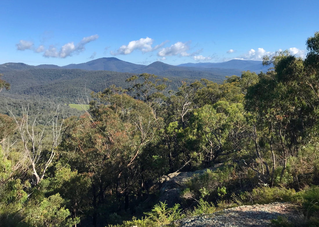
It was a relatively cool, overcast Monday morning when my parents went to Bairnsdale to pick up some supplies (a particular type of flour, some horse poo, the usual). I didn’t get a chance to do a long walk last week, so I hitched a ride with them with the intention of notching up another 10km along the paths beside the Wy-Yung (Mitchell River).
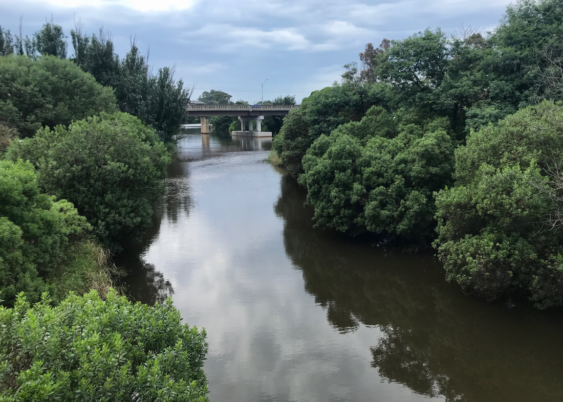
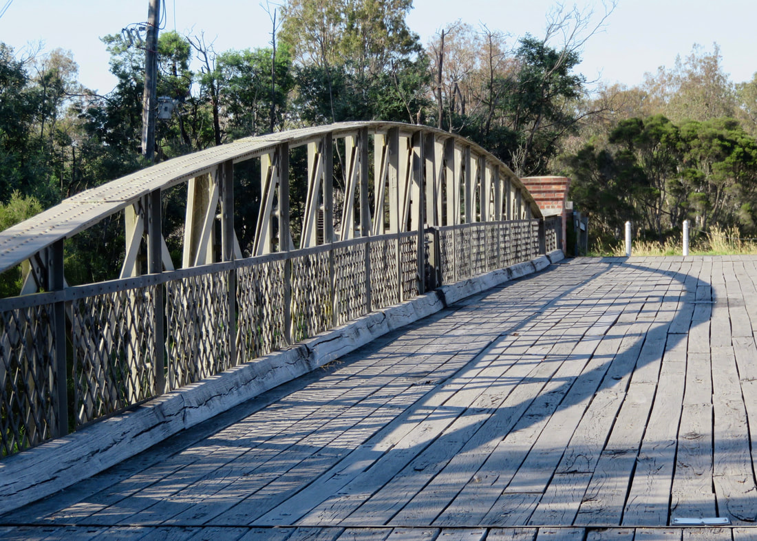
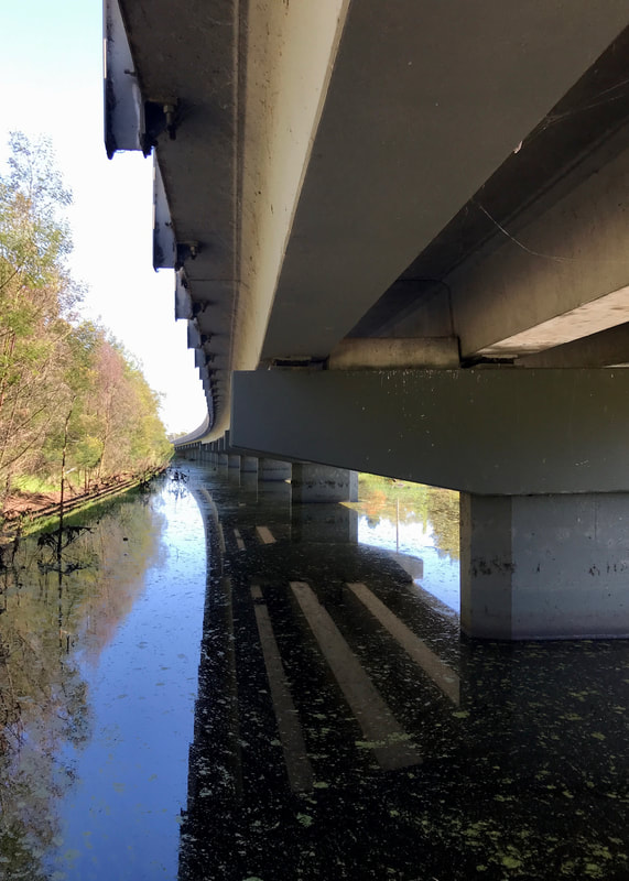
Looking towards the Princes Highway bridge from the footbridge near Howitt Park.
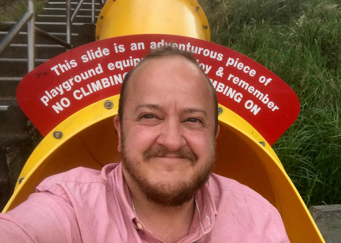
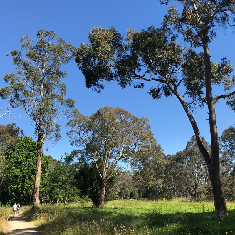
My folks dropped me at Howitt Park and I started by taking my favourite route down the hill: the big slide! It’s not quite as fun as it was when I was a kid - no metal surface to burn my legs on the way down, no risk of flying off the side - but it was still an adventure. I lost half the contents of my bag on the way down, and a small child coming down next helpfully picked everything up for me. Thanks, kid.
I'm not saying this was the best bit of the walk, but it was definitely in the top 10 moments.
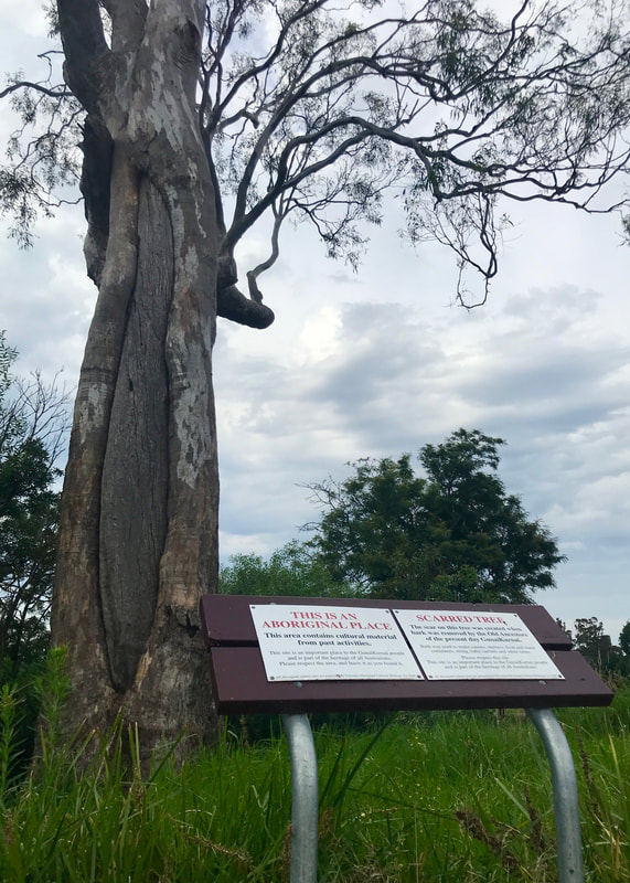 Gunaikurnai ancestor scar tree at Howitt Park. | 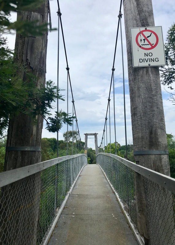 Over the backwater we go! |
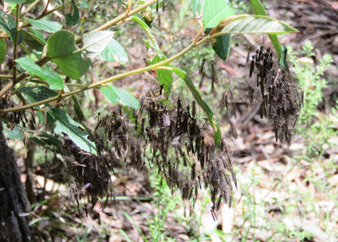
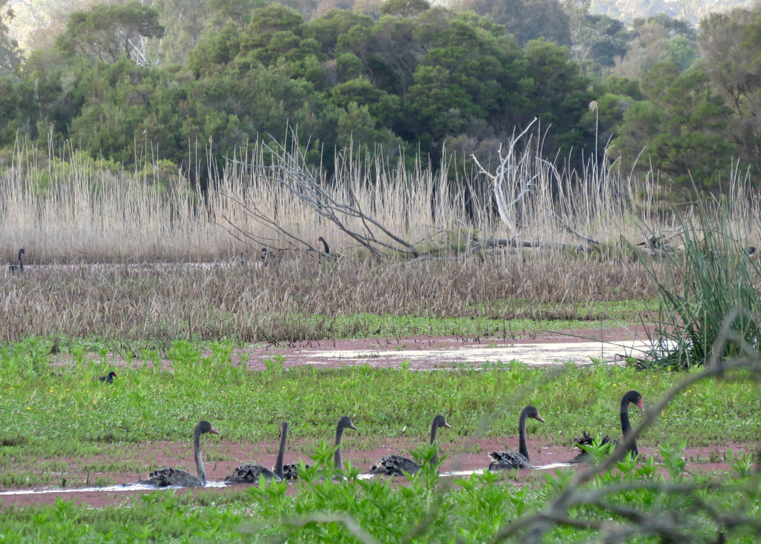
I set off at a good clip along the north bank of the river, knowing that it would be a flat walk and wanting to get some speed into my training after the last couple of slow goers. Dan stayed home, so it was just me, the butterflies, a juvenile silvereye . . . and hundreds of mega bats, aka fruit bats, aka flying foxes! So much for not stopping. I constantly paused to listen to the bat chat and look at the furry little faces hanging from the trees around the path. The signs say this is a “colony of national significance” which “forms a vital link in a chain of camps between Brisbane and Adelaide.” The main part of the colony was on the opposite bank, but occasionally a few would fly across to join the smaller (but not insignificant) groups in the trees surrounding me. I'd decided not to bring my camera, just the phone, and now I regretted not being able to get some good shots!
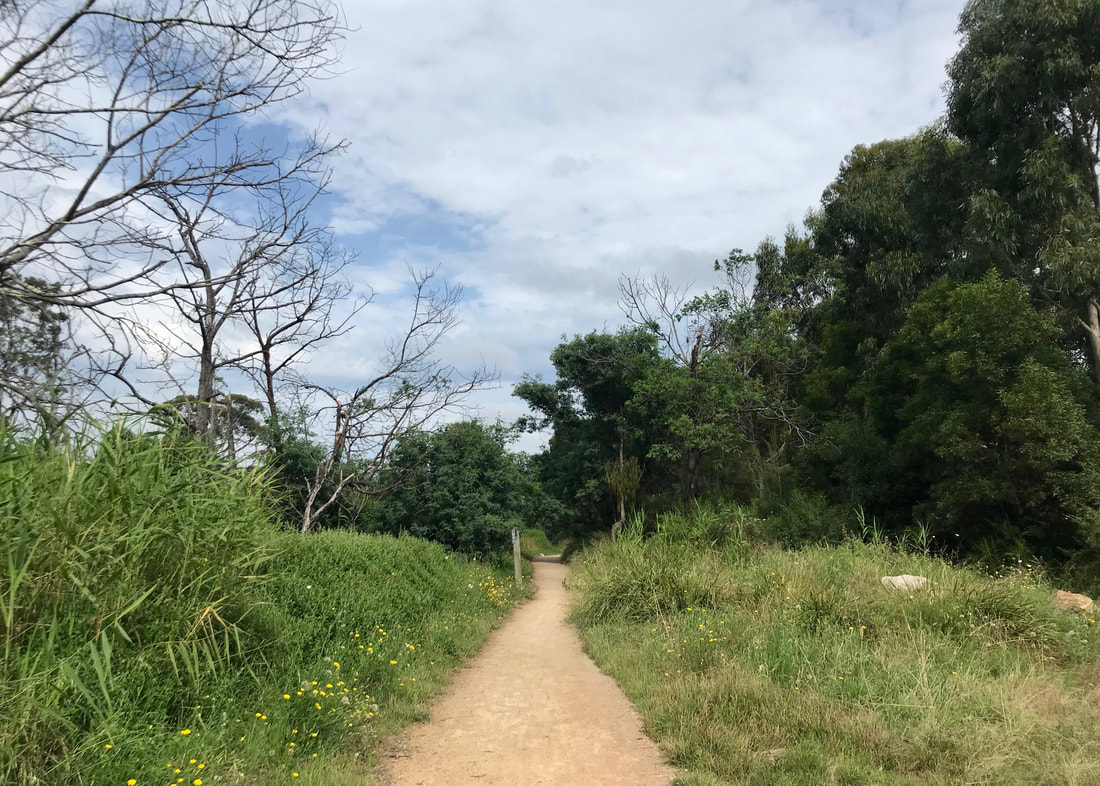
The first part of the path had quite a lot of weeds and non-native planting, but it was a a good start anyway.
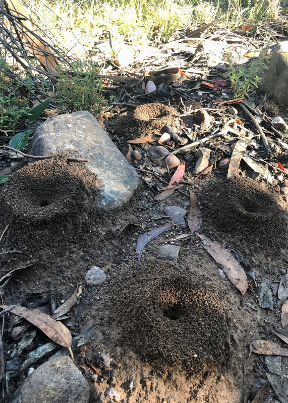
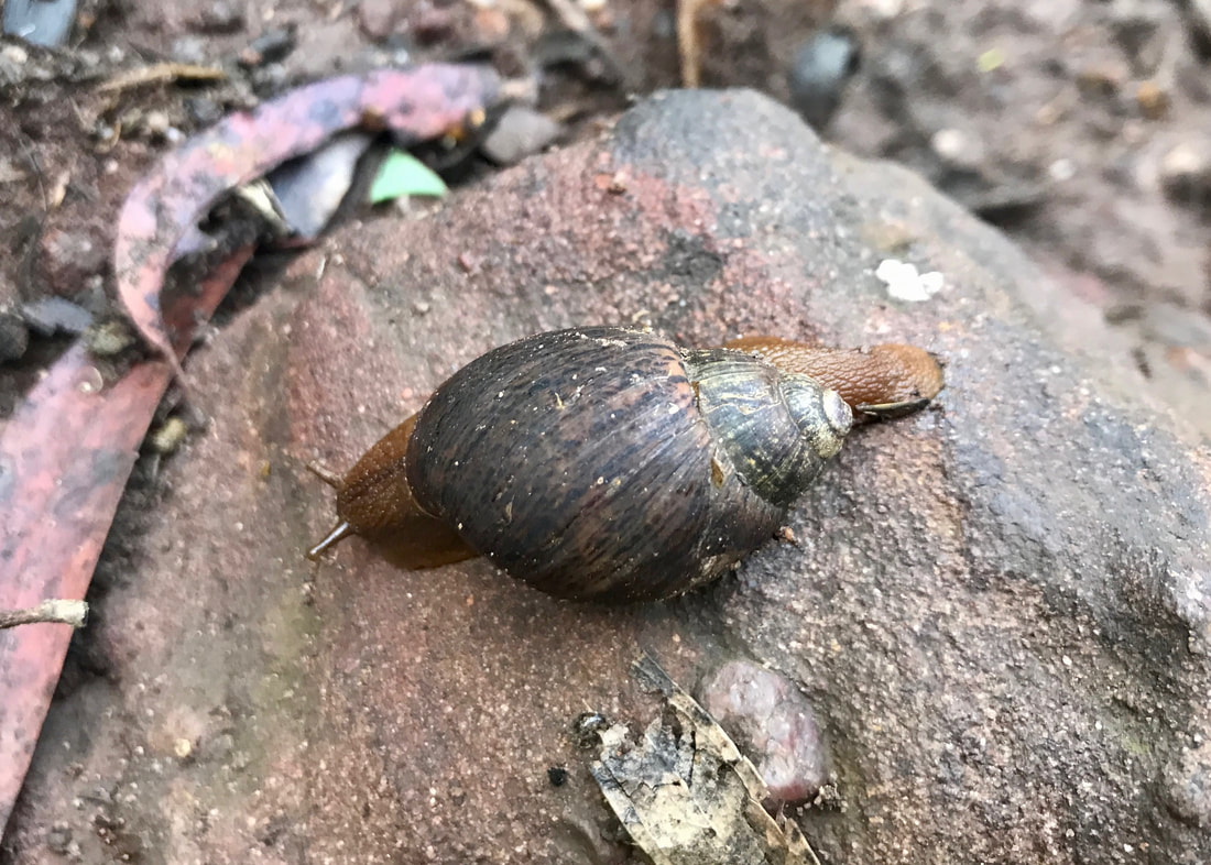
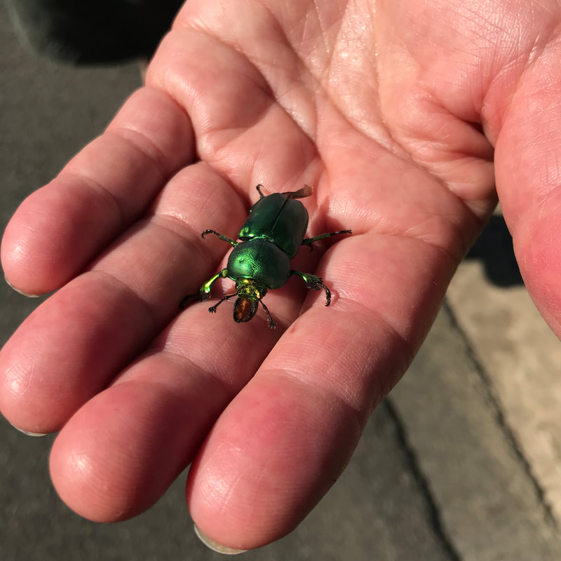
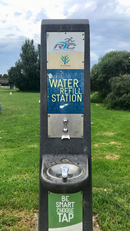 There were a few of these - I used them! | 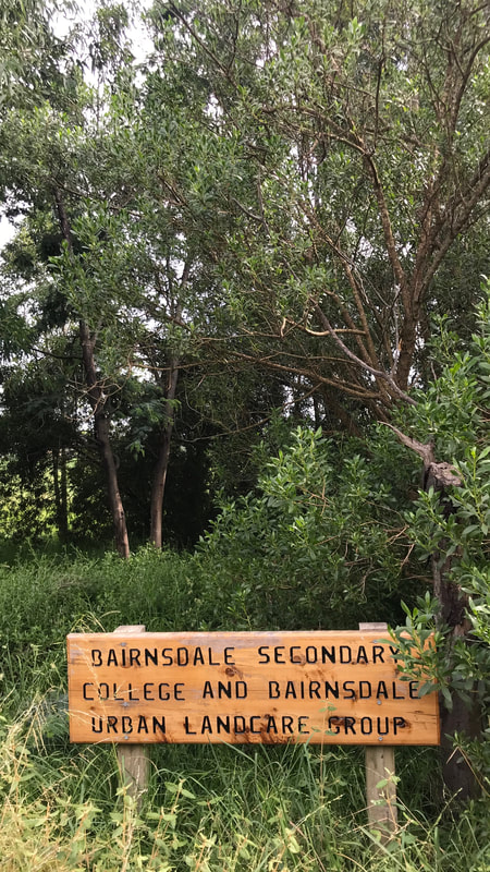 Thanks, folks! |  Just because I didn't see them... |
Hardly anyone else was using the path at the start of my walk. I saw one jogger just before Lind Bridge, at about the same time the first drop of sweat rolled down my buttcrack (despite the clouds and low-20s temperatures, it was pretty humid). When I passed under the bridge I met a handful of people from the Gunaikurnai Land and Waters Aboriginal Corporation who were spraying weeds, clearing grass with ride on and push mowers and trimming some harder to reach spots with whipper snippers (strimmers). It was good to see folks looking after the area.
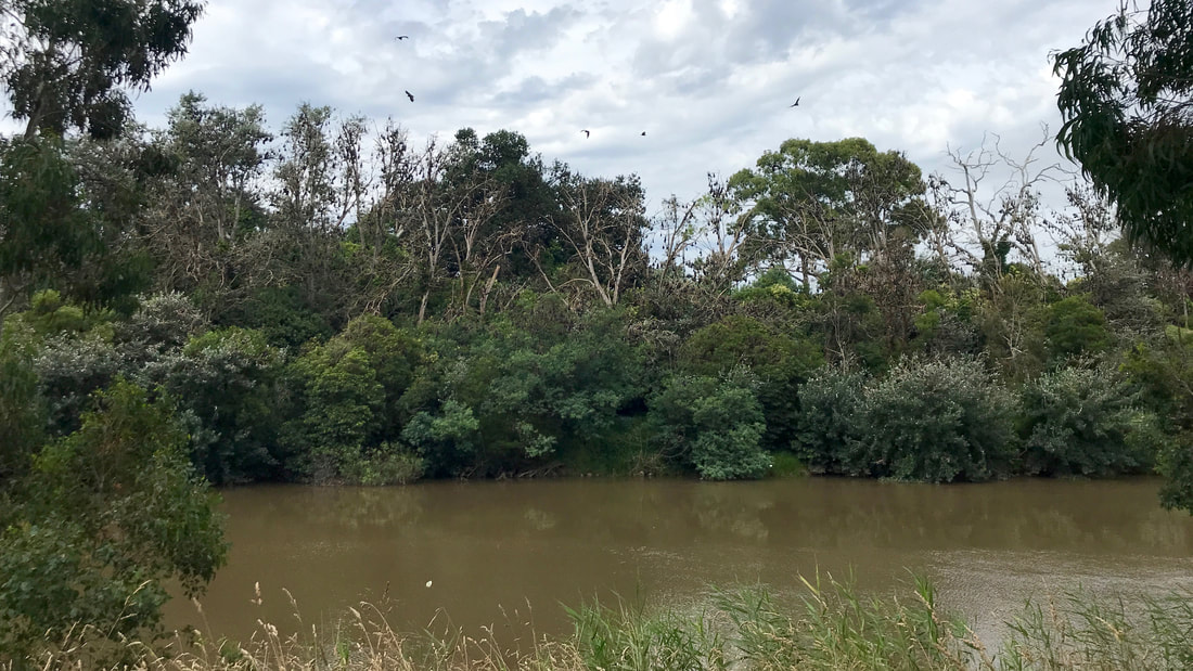
Bats! Can you see them roosting in the trees on the other bank?
 A few friends hanging out near the path. | 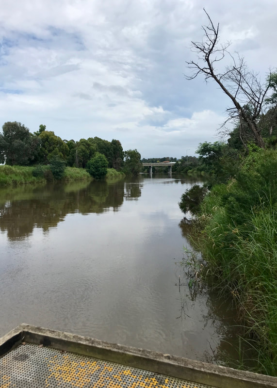 Looking upstream to Lind Bridge. |
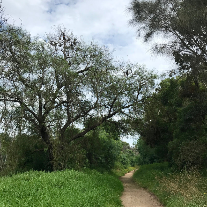
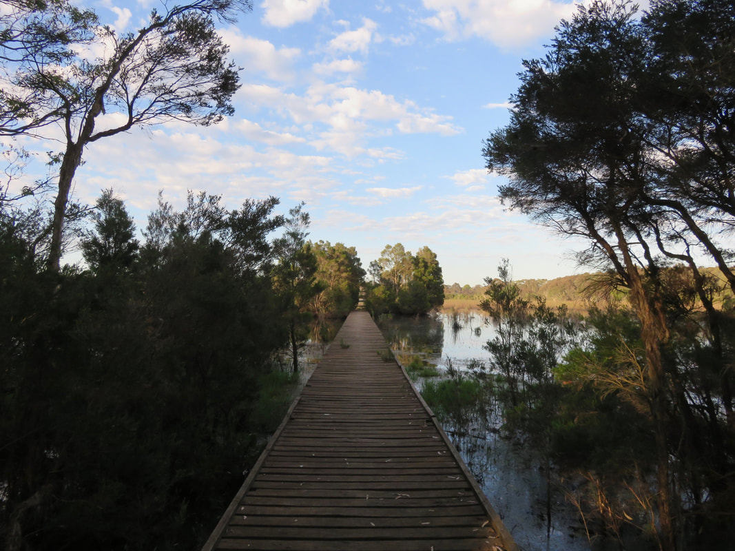
West (upstream) of Lind Bridge on the north side of the river, the trail is much less made. It feels more countryside-ish on the outskirts of town. From the map, I expected the path to end after about a kilometre. Sure enough, I ran out of dirt footpad then continued on a grassy path until it became completely overgrown. I turned back towards the bridge, spotting a few cheeky rabbits on the way. On the other bank, I saw a group of what looked like teenagers on a DofE excursion (not really a thing in Australia) - big packs and slow walking. I wondered what they were doing and if I’d see them when I headed up the other side of the river.
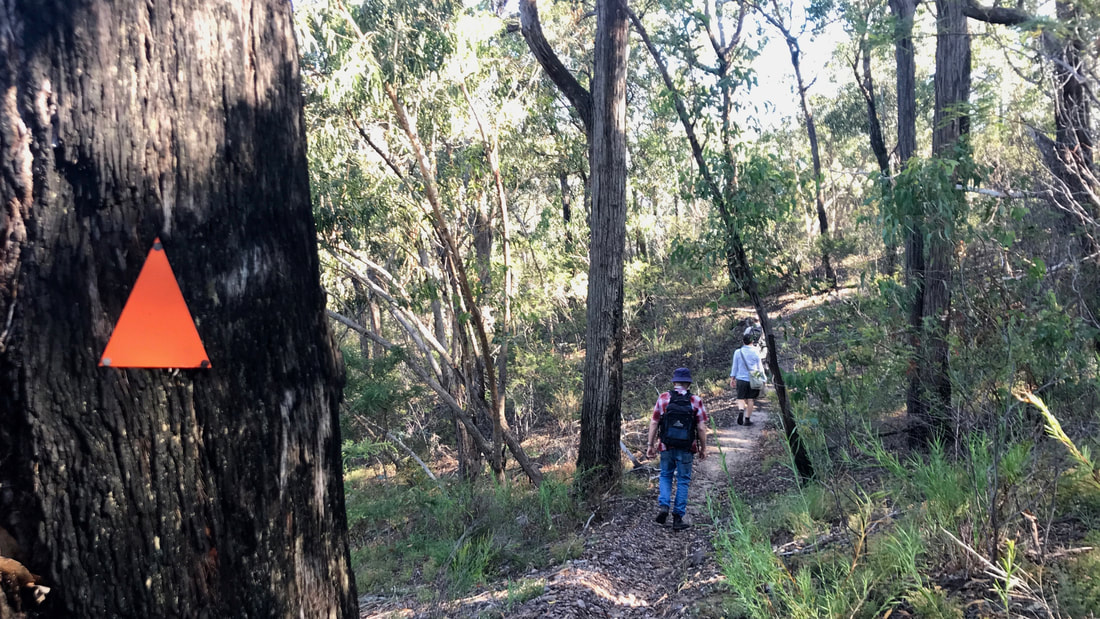
Hello, fellow walkers - I hope we meet!
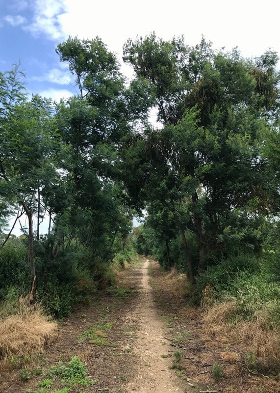 The path upstream of the bridge on the north bank. | 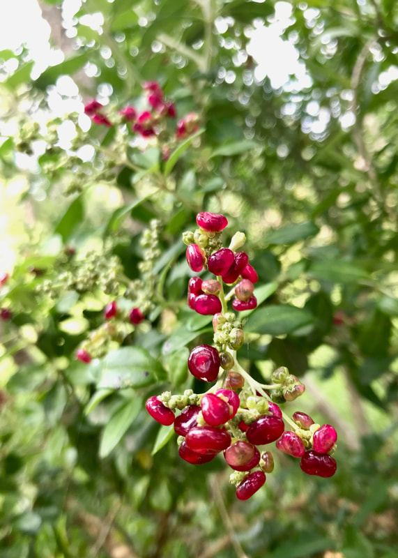 Not saltbush, but looking very similar. Not very tasty. |
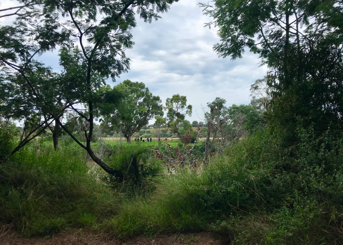
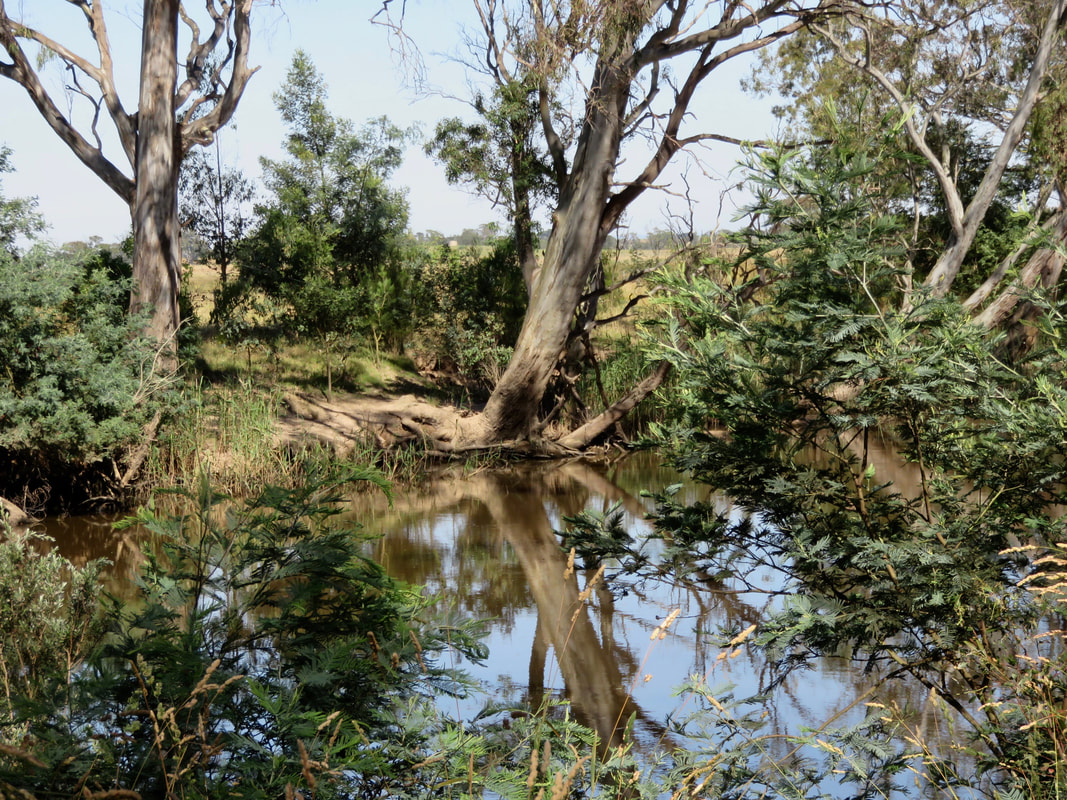
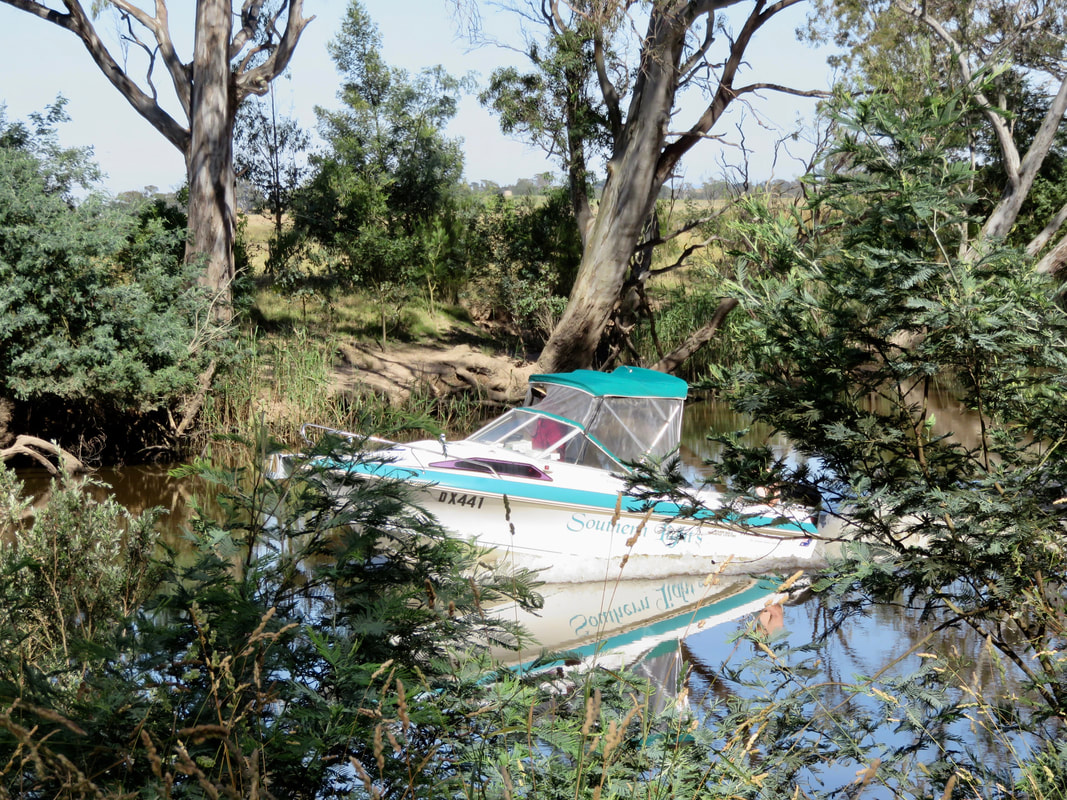
After crossing Lind Bridge I once again turned upstream, this time on the opposite bank. A boat sped past and disappeared around a corner. I watched a tractor ploughing the dark brown soil on the river flats. Cockies, magpies, flycatchers, ibis and willie wagtails kept me company. I passed the end of Webbs Road, then a stockyard and then, as I arrived at Picnic Point, I caught up to the group of walkers I’d seen earlier. They were a group of teenagers at a summer camp, who had walked down the river the day before, camped overnight, and had just arrived back at their transport. Their leader said they were about to have a dip in the river and a bite of lunch, then they’d head off. It sounded like a good adventure, and most of them looked suitably fed up.
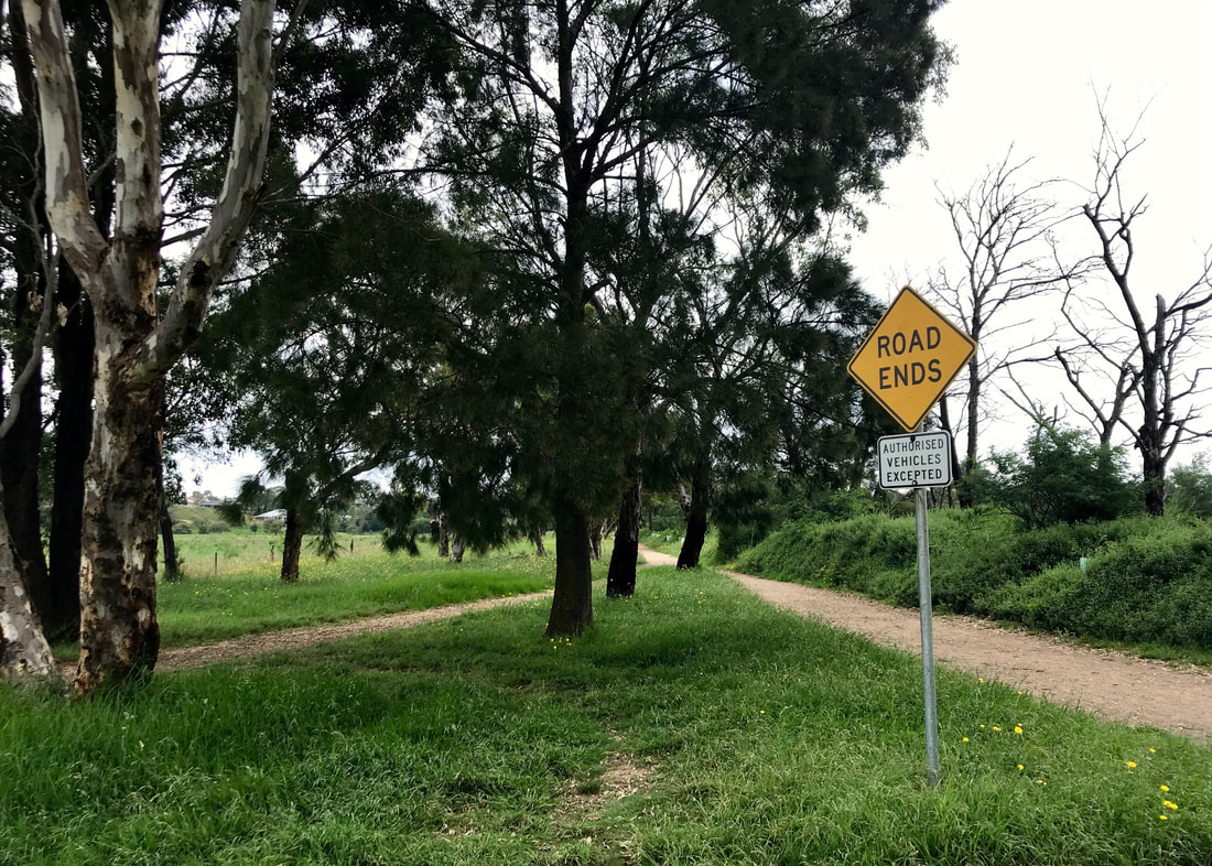
What I like to see at the end of Webbs Road - walkers (and cyclists, and scooters, and horses) only!
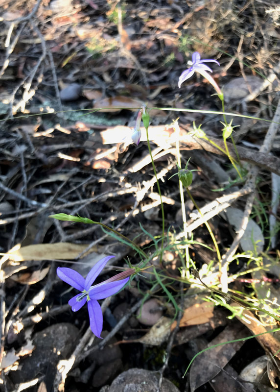
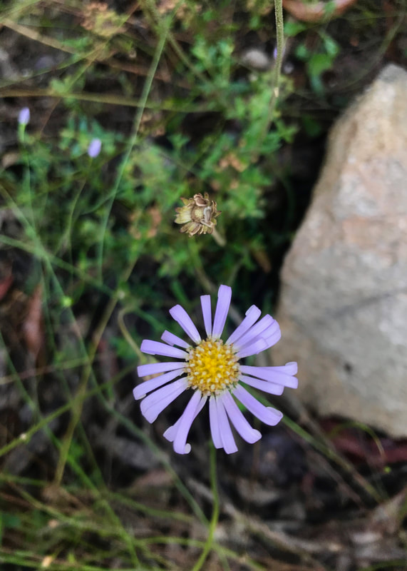
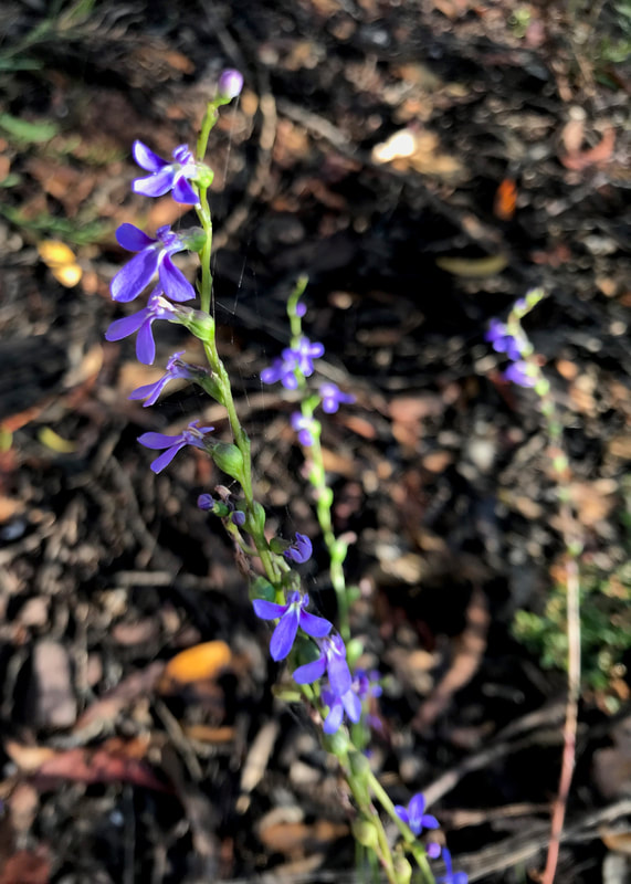
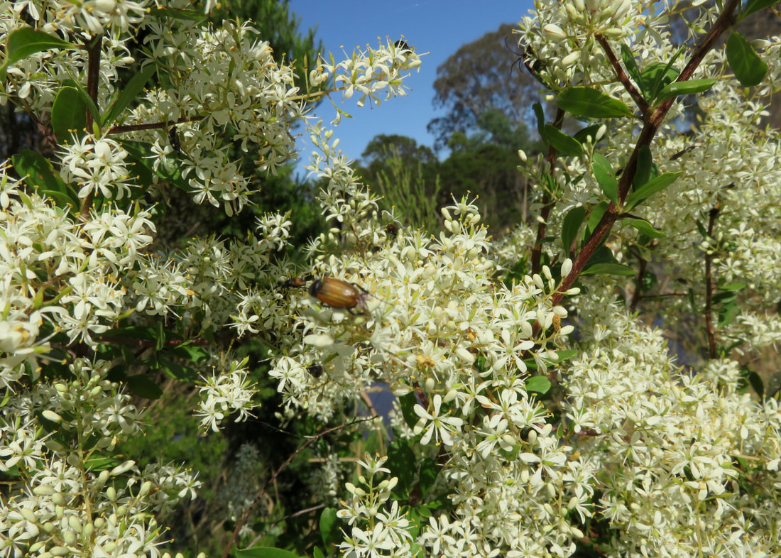
 Purple flax berries. | 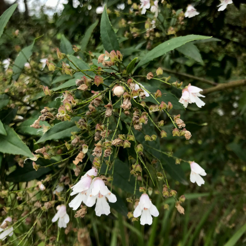 White blossoms of some kind. Looks native. |
Although I often came to Bairnsdale as a kid, I don’t ever remember visiting Picnic Point. In the old days, people used to come up in a boat from the Port of Bairnsdale to, you guessed it, have a picnic. It’s a small reserve in a bend of the river with a few paths to explore. I went as far upstream as I could, over a very small creek, to the road and back. Then I climbed the little hill where I found a covered bench to stop for a while and eat a lot of chocolate!
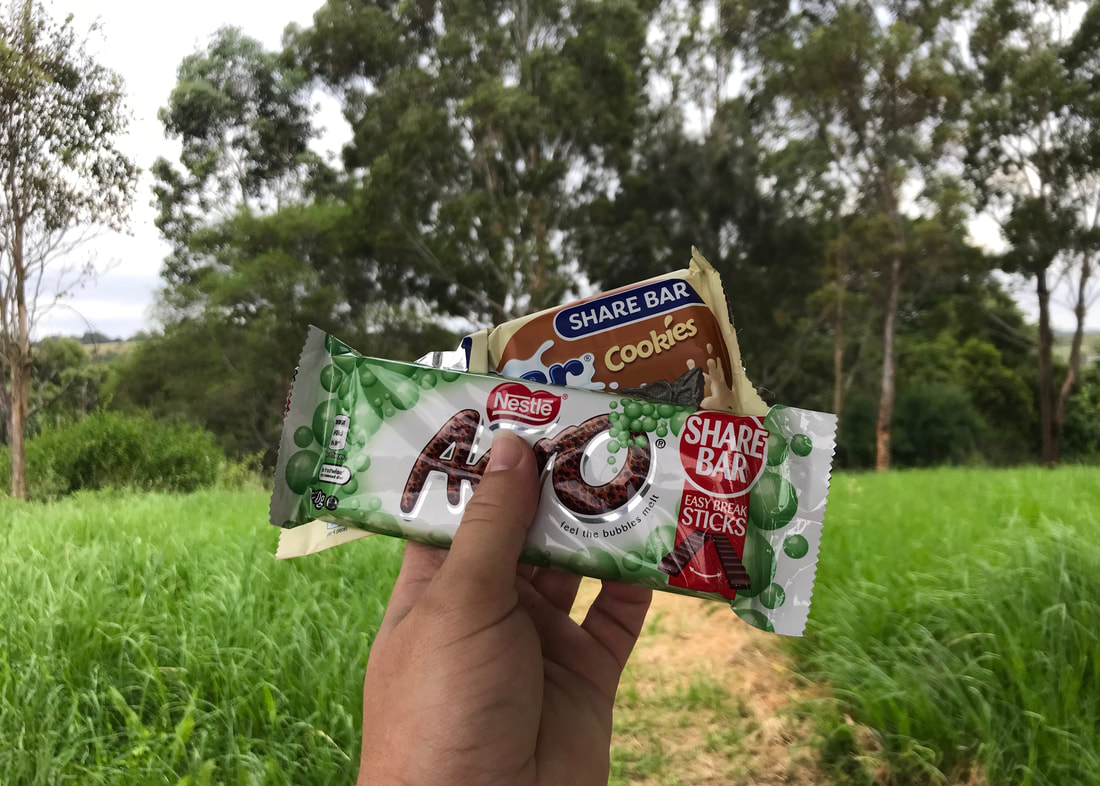
A picnic at Picnic Point. "Share bar" my foot.
 Stockyards. Not in the city any more! | 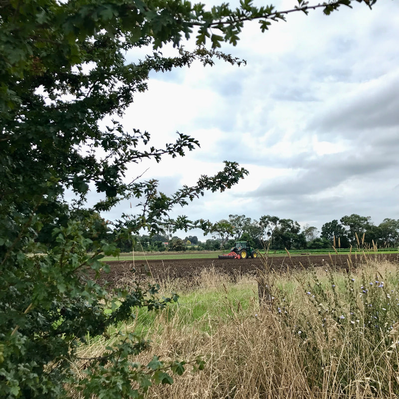 Tractor ploughing a field (oops, I mean paddock). Ditto. |
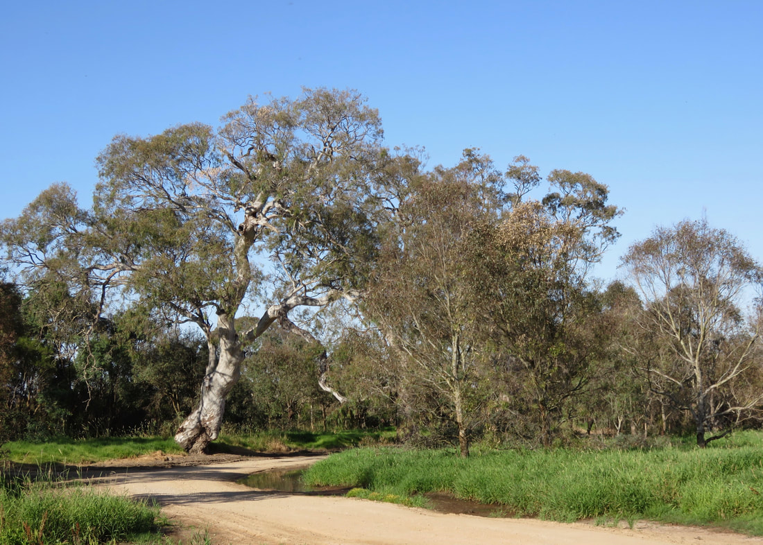
Instead of retracing my steps along the river, I walked back down to the bridge along Webbs Road. It was nice to get a different perspective and the road was unsealed all the way, which made for easy walking. Only one ute came past, so I didn’t have to spend my time jumping out of the way. There is so much feral fennel flowering at the moment. Although it’s not native, the bees seem to enjoy it, and in combination with what I think are purple verbena/vervain and chicory (also not native), it made for a pretty roadside.
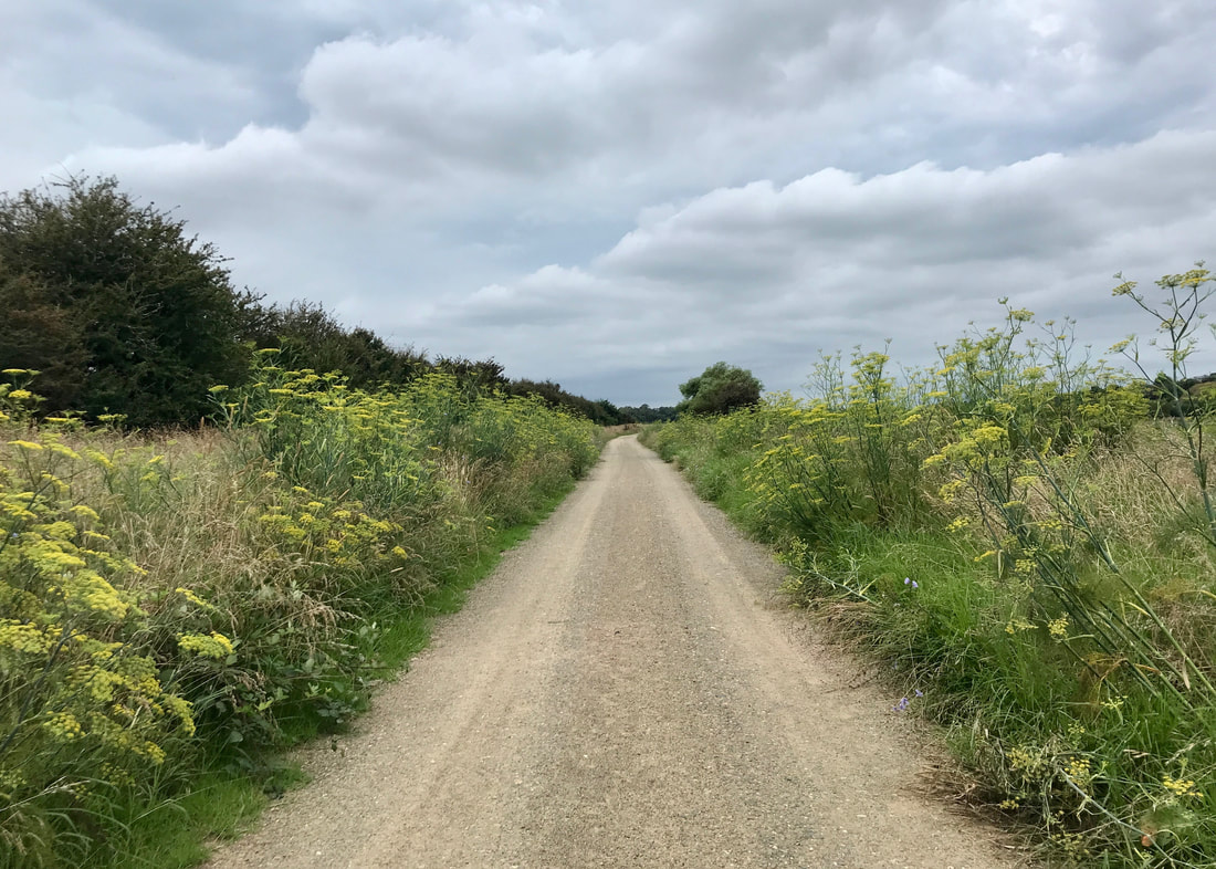
Fennel, fennel everywhere! If I don't look too closely this could almost be a road in the UK.
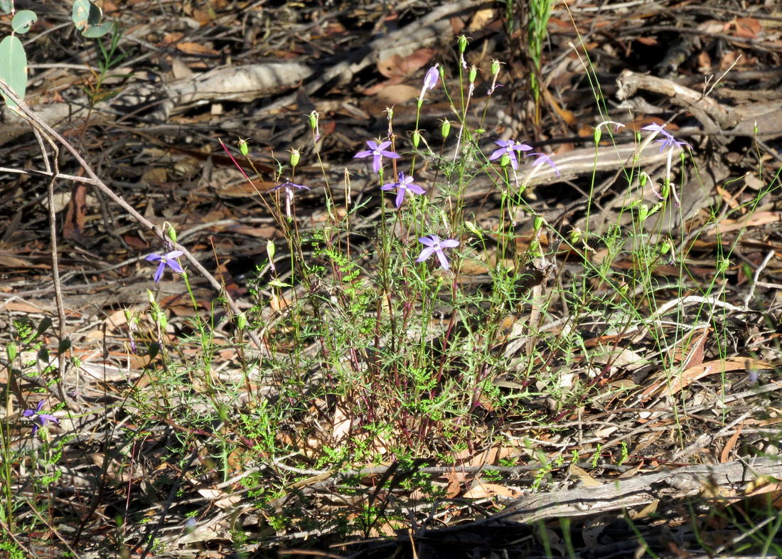
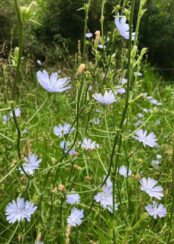 I think this is chicory. Wonder if I can eat it? | 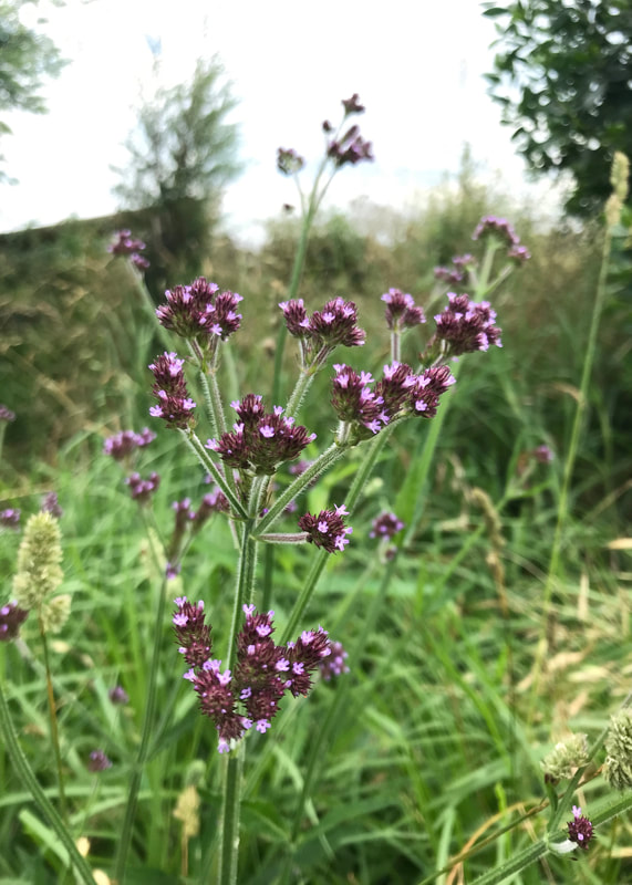 And I think this is Verbena bonariensis. |
I had walked further than I’d intended and was running a little behind schedule, so I picked up the pace back towards town on the south side of the river. I hadn’t recorded the bats earlier, thinking that I’d wait until I was under the main colony, but when I reached that area I found that the walking track was diverted around it and up onto the street. I suppose it’s fair enough, but it did mean that I couldn’t get the recording I wanted!
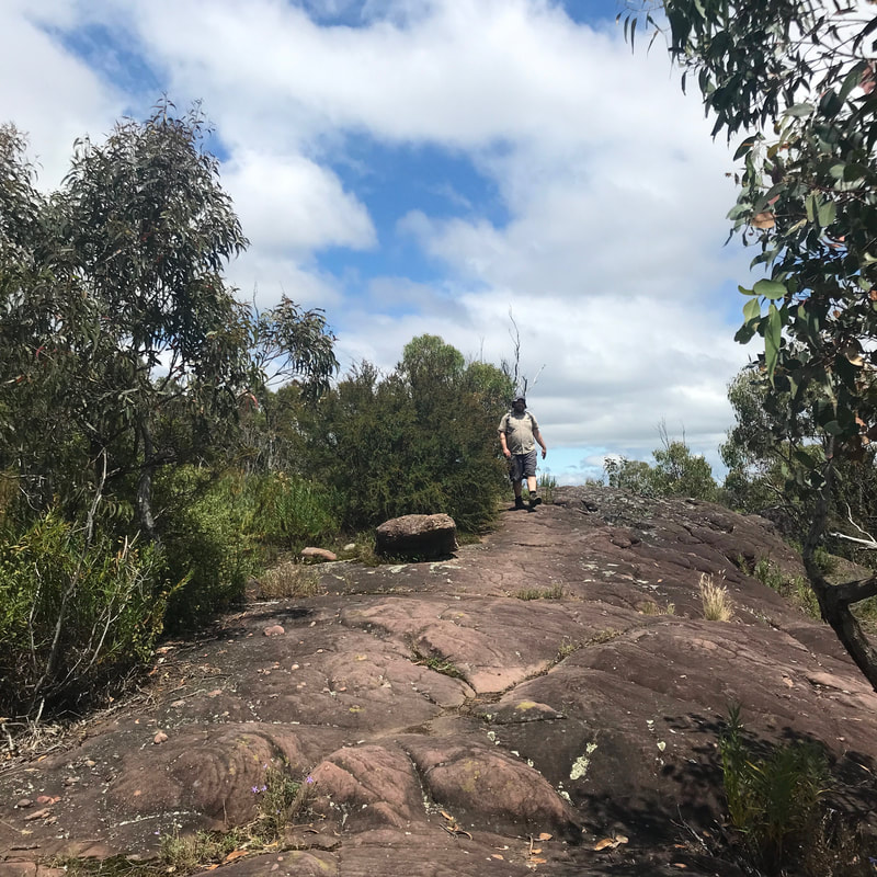
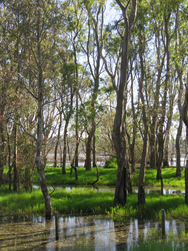
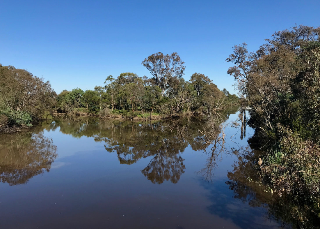
Downstream of Lind Bridge on the south side of the river. The grass is unbelievably lush for the middle of January.
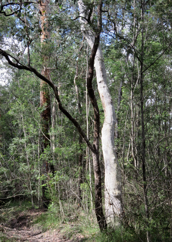
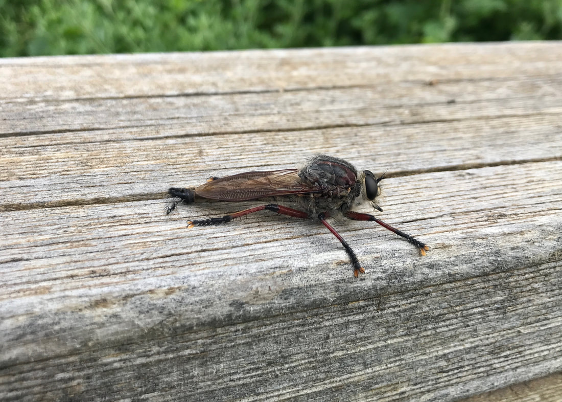 I believe this is a robber fly. Big fella. | 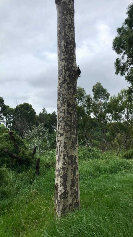 Probably spotted gum/Corymbia maculata. |
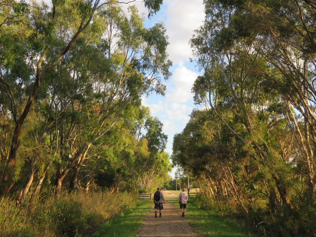
I didn’t make it all the way back to Howitt Park, in the end. Mum and Dad met me on Mitchell Port Road so they got to have a look at the bats, too. They brought hot cross buns, which were a much-appreciated snack. Just as we were finishing up, it started to rain.
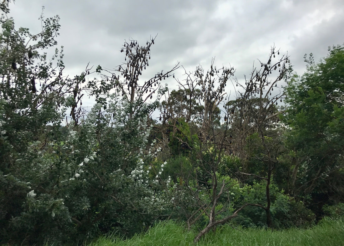
The bats, as seen from the section of diverted path. They are so cool to see, very noisy, and not at all smelly.
On the way home, my folks got both a bag of horse poo and a bag of alpaca poo. Fancy.
Notes
In the end, I walked just over 11.5km in just under 2 hours and 45 minutes, including stopping for rests and to record and photograph bats. This is almost exactly the 4 kilometres per hour that I usually estimate as my walking speed. I was a little surprised that I wasn’t quicker. Maybe I’ll come back and do this walk again and try to beat my time!
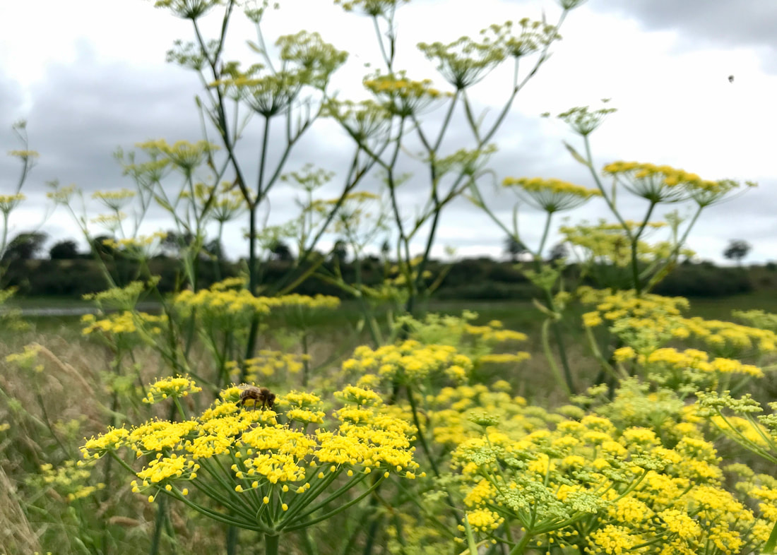
A bee enjoying the fennel beside Webbs Road.
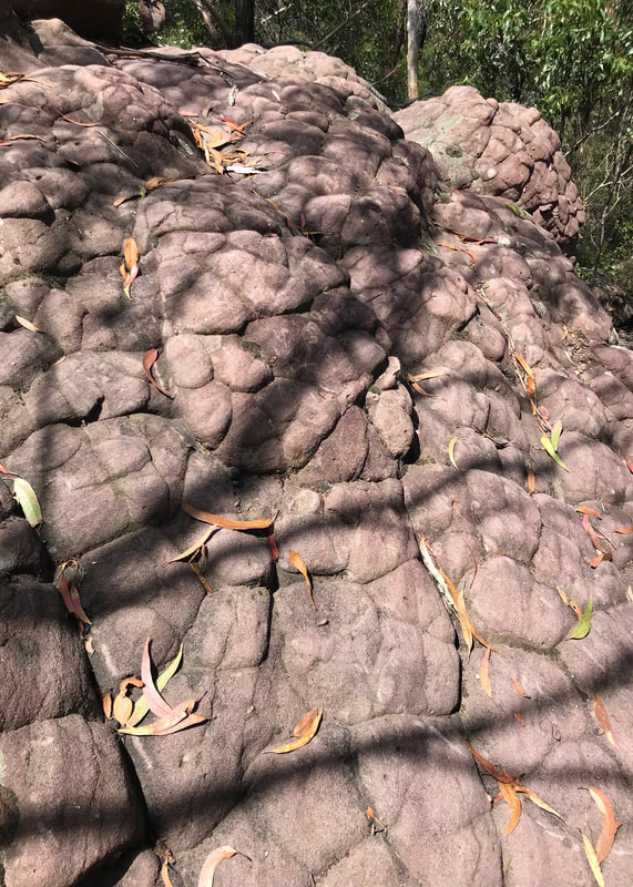
The surface was pretty nice for walking as it was almost entirely gravel, with a bit of grass and only a very small amount of sealed path. The weather was pretty decent for walking, too, though a few percent less humidity would have been better. Later in the day, I had quite sore feet and a little bit of an achy lower back, again because there wasn’t a lot of variety in ascent/descent. It was all better the next morning. The blister under my second right toe has healed up and I didn’t get it this time. I wonder if the callus forming there will prevent this from recurring? I am still getting some pain in that toe more generally, which hasn’t improved over the last couple of months, but hasn’t got worse. I guess I’ll just keep an eye on it. I was extremely tired after this walk, which might be due to other things, but it’s probably worth remembering to do a bit more prep in this regard as the walks get longer - proper meals beforehand and some scroggin to take along (any excuse for scroggin, really).
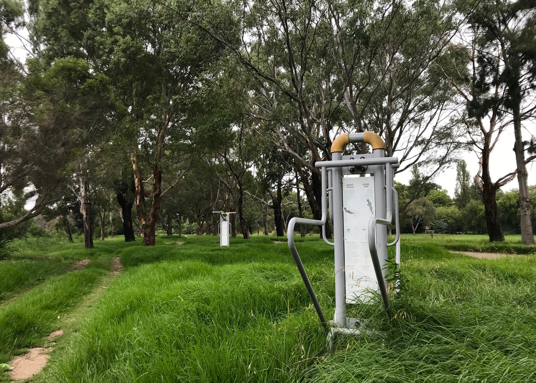
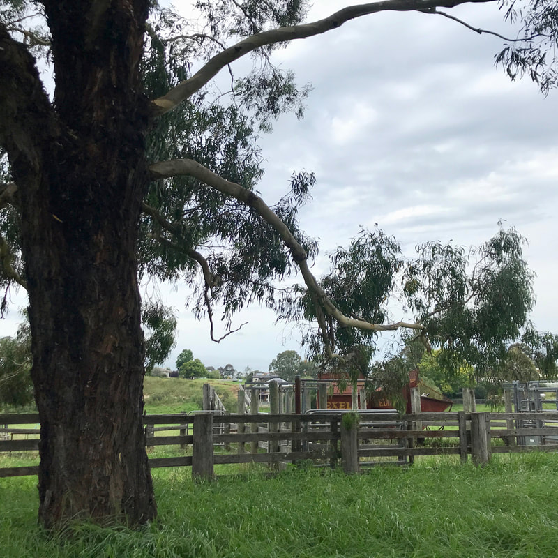
The outdoor gym overtaken by grass gave off a slightly post-apocayptic vibe.
It was fun to walk by myself for the first time in a while. I do enjoy walking with other people, but there’s something very satisfying about being able to (and needing to!) do all the regulation for myself - when to stop, when to speed up, which way to go, when to drink, when to eat. It’s also really relaxing to have some time alone with nature.
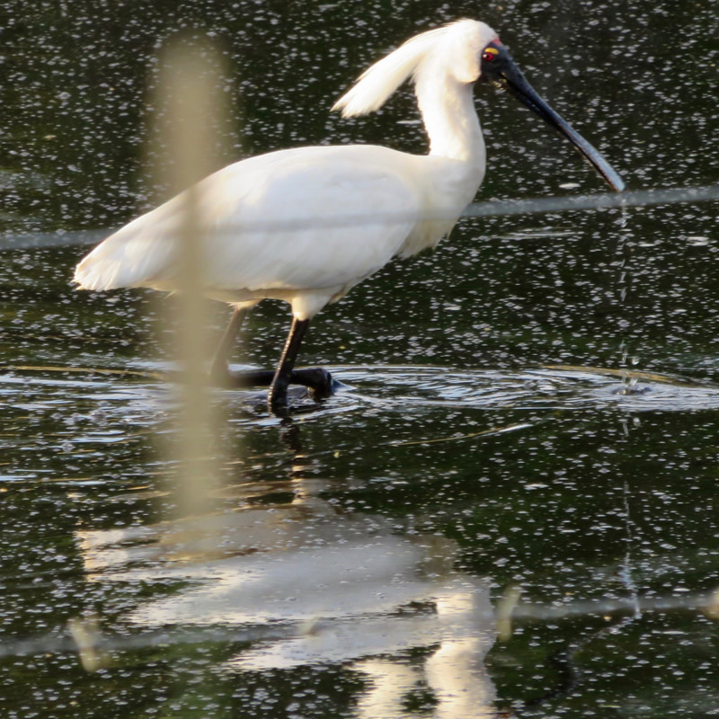
This walk is on the Country of the Brabralung (Gunaikurnai) people. The name of the river, Wy-Yung, is the word for spoonbill. Wy Yung is also the name of a suburb of Bairnsdale. This always was, and always will be, Aboriginal land.
 RSS Feed
