Five Snippets (July 2016) from In Which I on Vimeo.
A summer of celebrations and holidays!
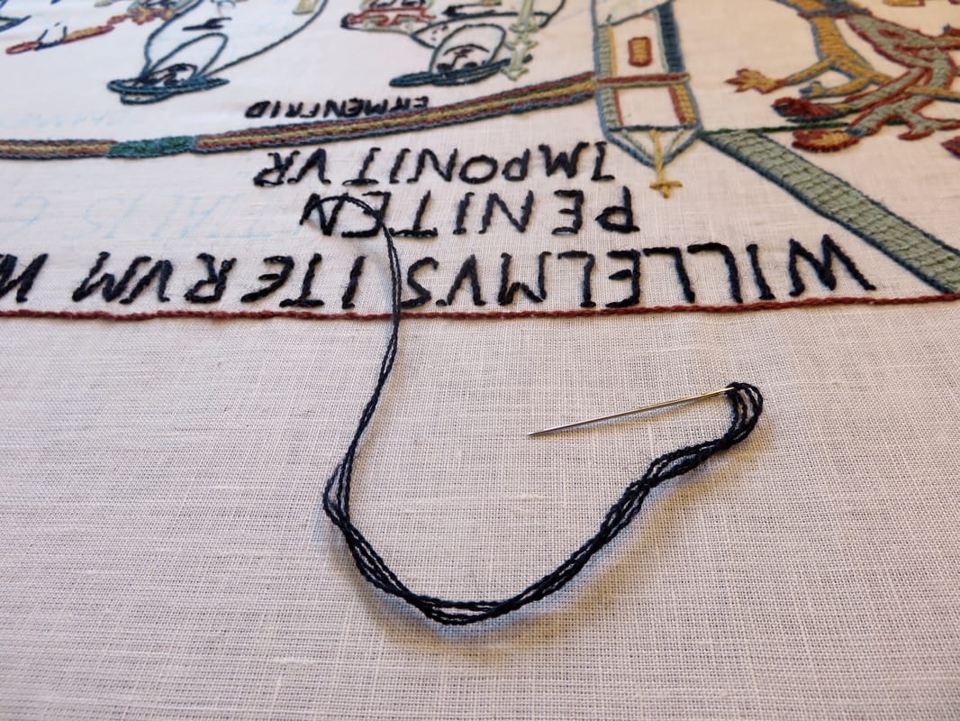
A friend came to visit in July. Having visitors is always lovely, partly because it gives us the chance to check out some of our favourite places and share them with other people. One day we went up to Battle Museum and spent some time in the gorgeous Almonry Gardens out the back. A community tapestry to mark the 950th anniversary of the Battle of Hastings was underway, so we all went and stitched a bit of history!
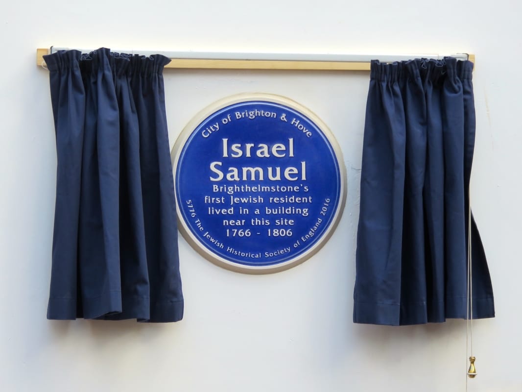
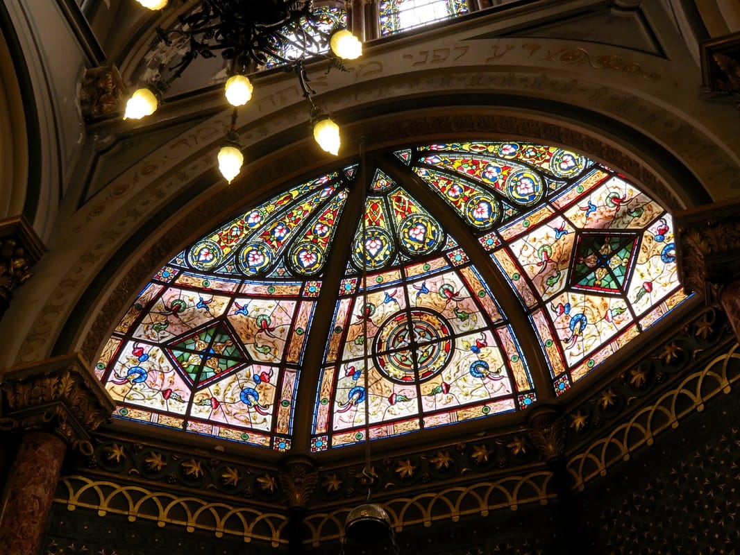
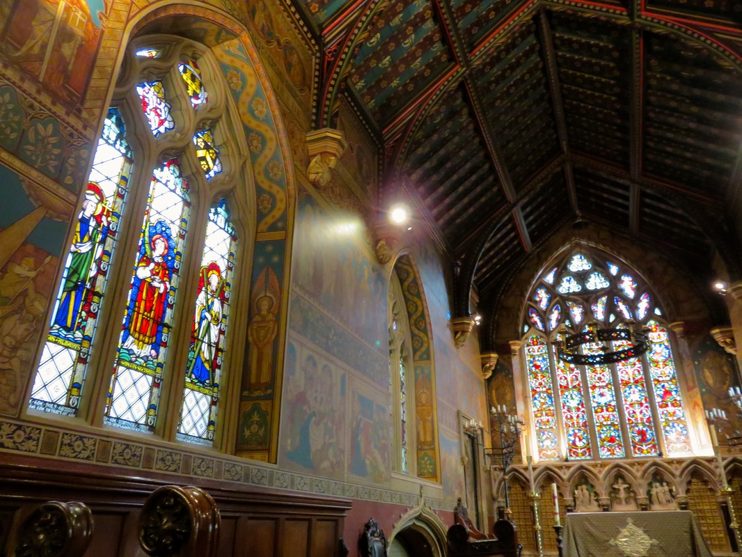
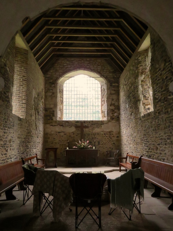
It was a year for anniversaries in Sussex. Brighton was celebrating 250 years of Jewish residency in the town, with a series of cultural events including lectures, concerts and exhibitions. One key event in the calendar was the unveiling of a Blue Plaque dedicated to Brighton's (then called Brighthelmstone) first Jewish resident, Israel Samuel. Israel Samuel is my ancestor and we attended the unveiling along with another two hundred or so spectators and various dignitaries. There were three direct descendents including me, my third cousin from New Zealand and her son who lives in the USA. We were treated very well as guests of honour, invited to a reception in the mayor's parlor, a special opening of the old synagogue and to lunch in Brighton. The Middle Street Synagogue is a beautiful old building which is no longer used for worship and is not often open to the public, so it was a real treat to be able to spend some time inside.
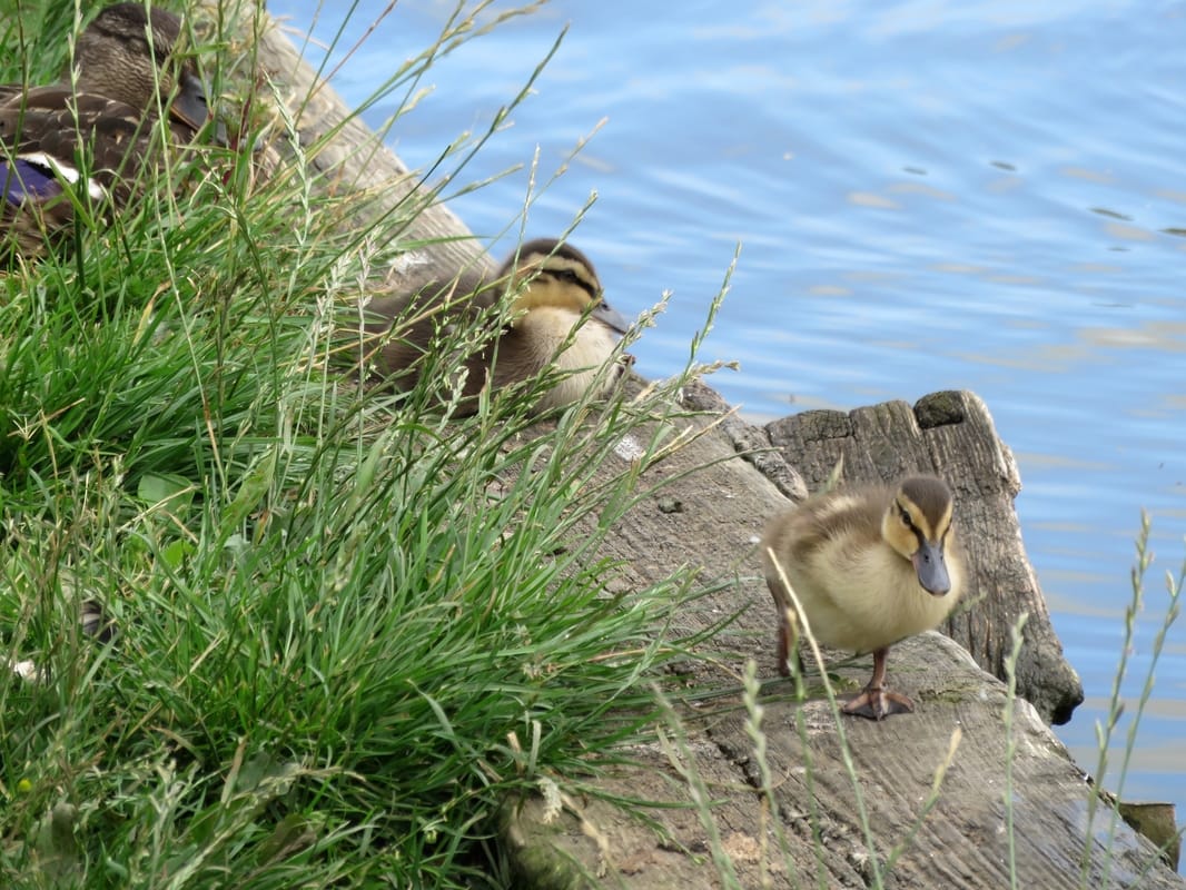
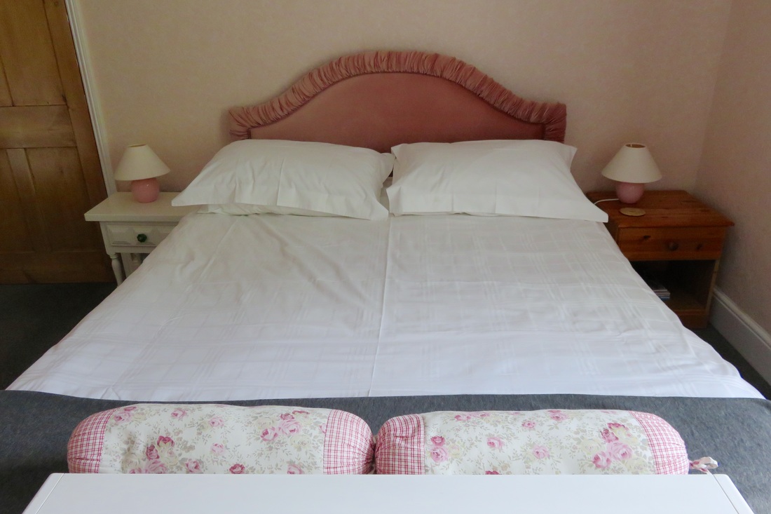
We had a weekend break with friends in the little town of Haddenham in Buckinghamshire. It was lovely to catch up with them and to feed the ducks in the pond on the green outisde the church. (Plus, we just spotted it in the most recent episode of Midsomer Murders - yes, I have seen every single episode ever, don't judge me.)
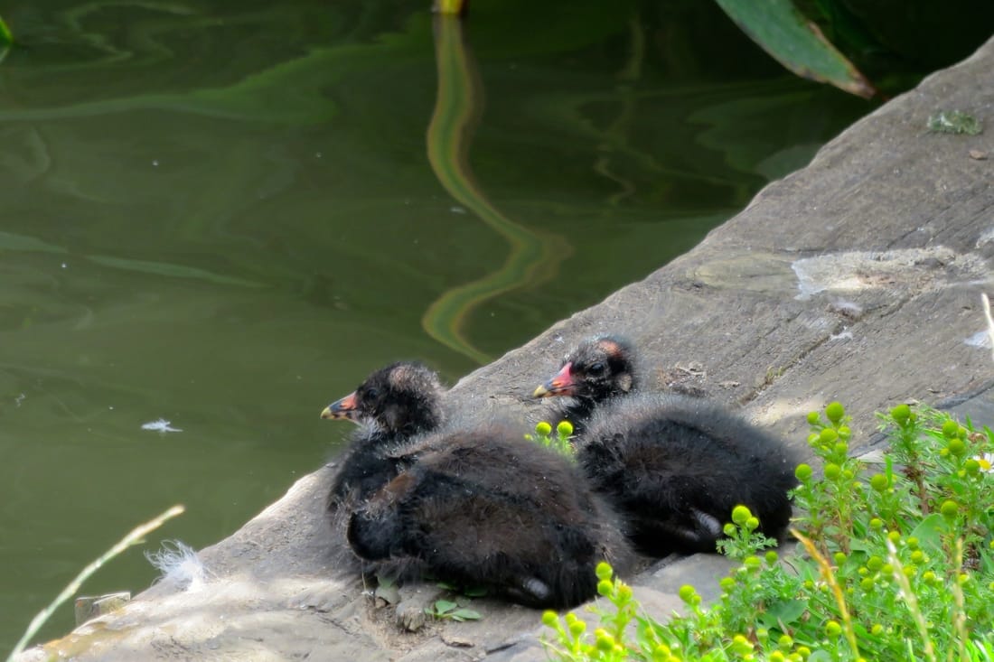
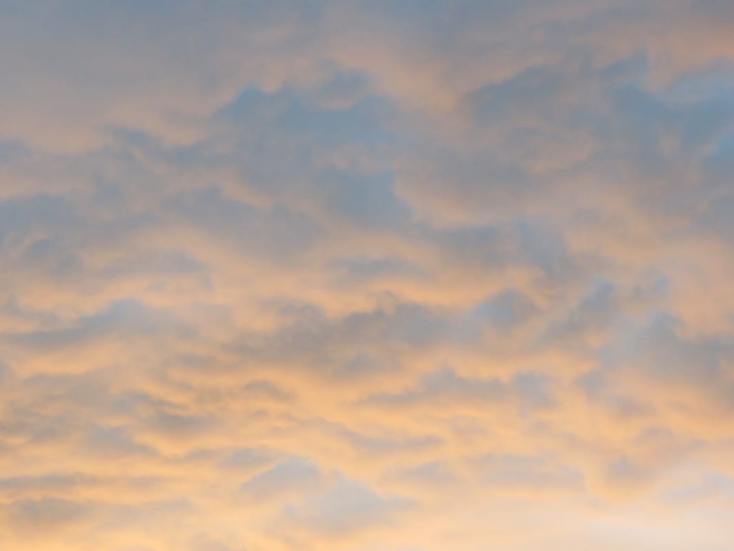
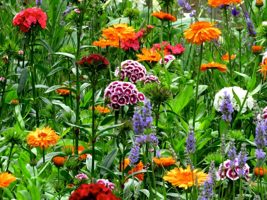
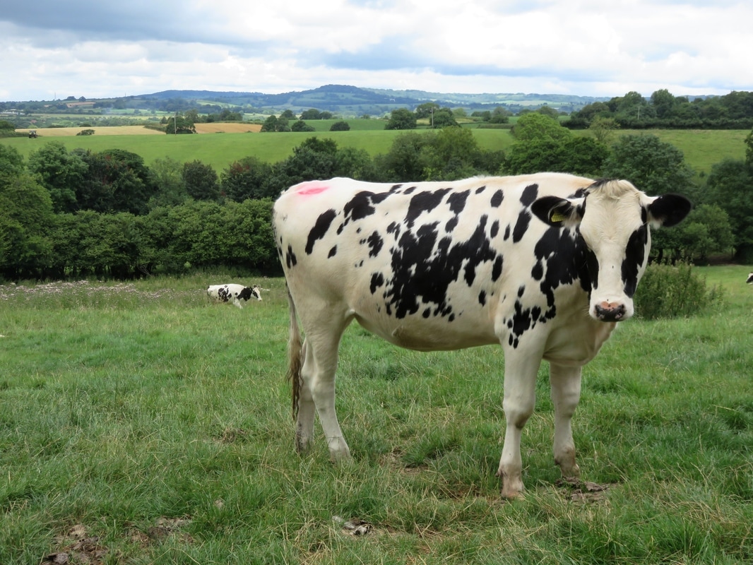
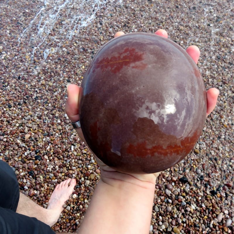
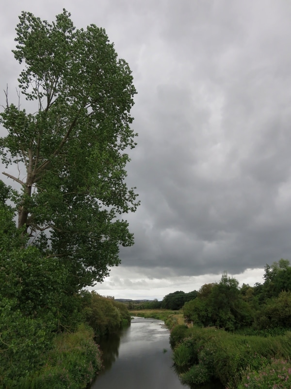
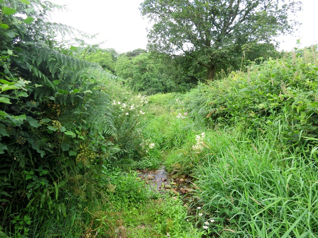
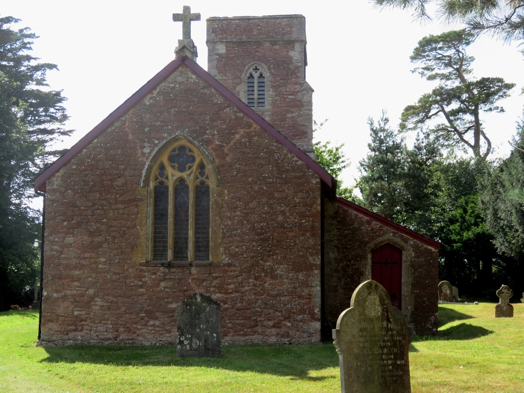
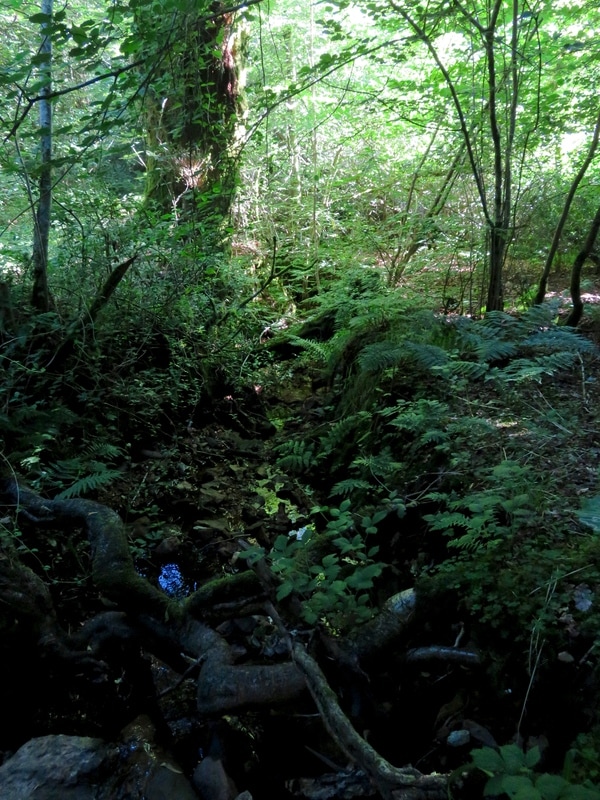
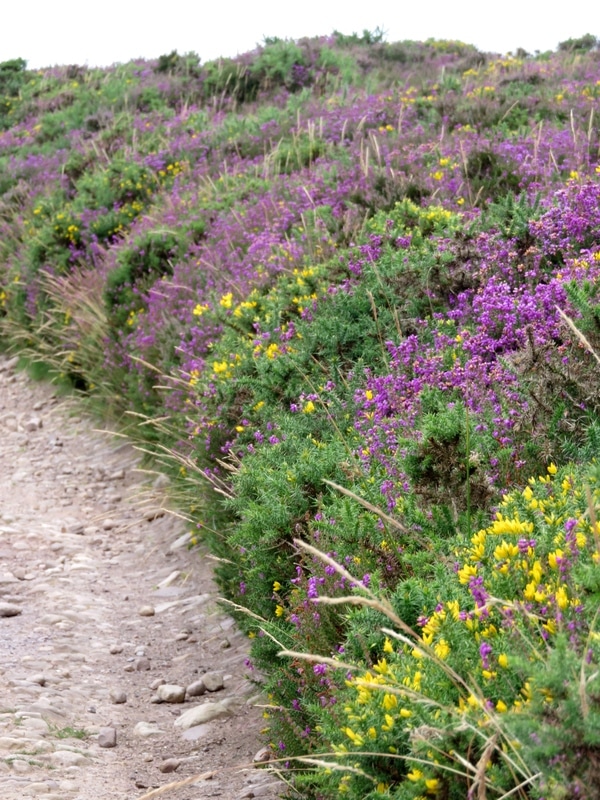
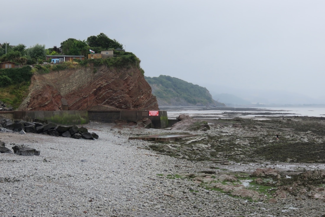
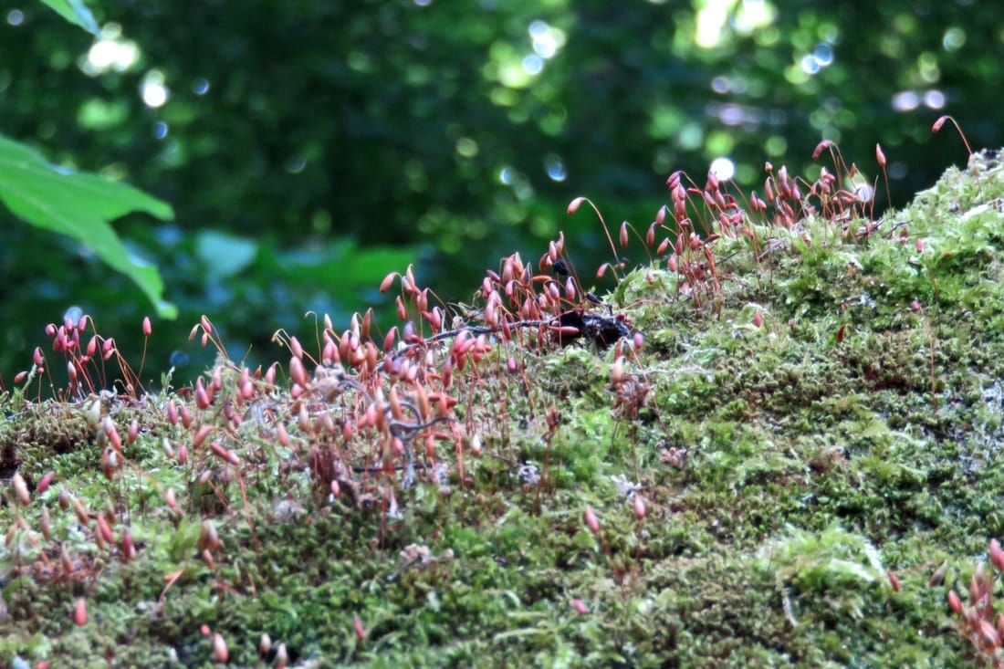
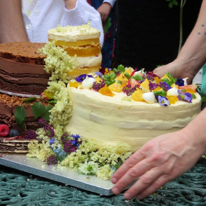
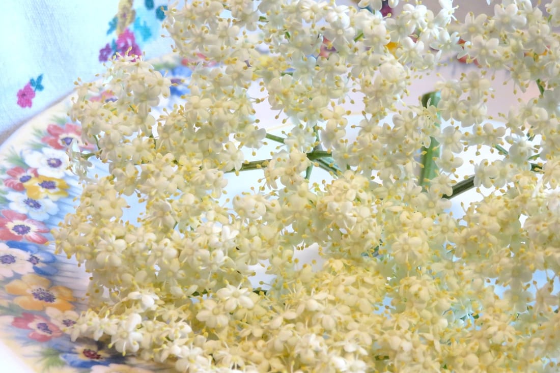
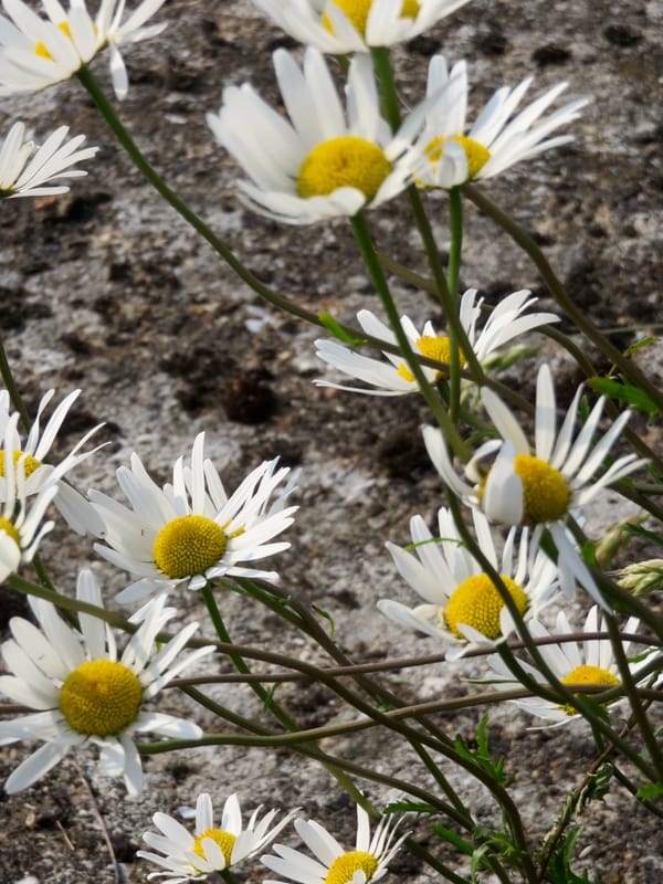
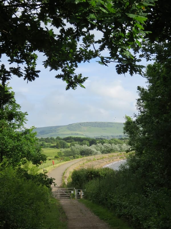
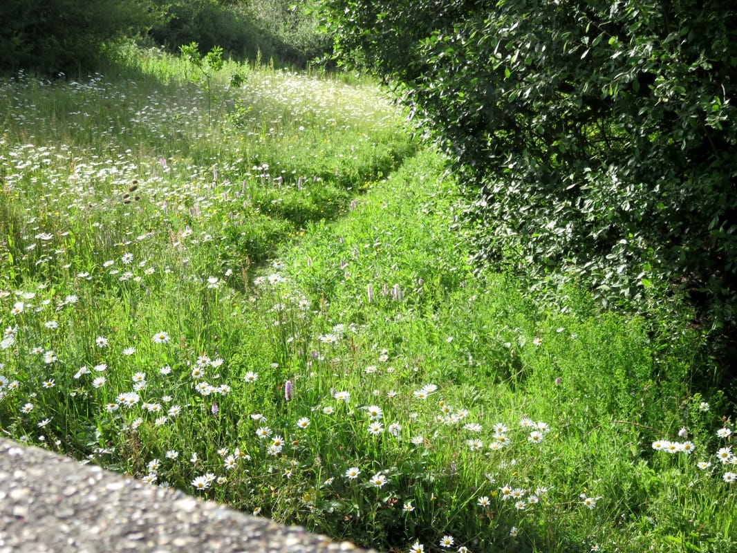
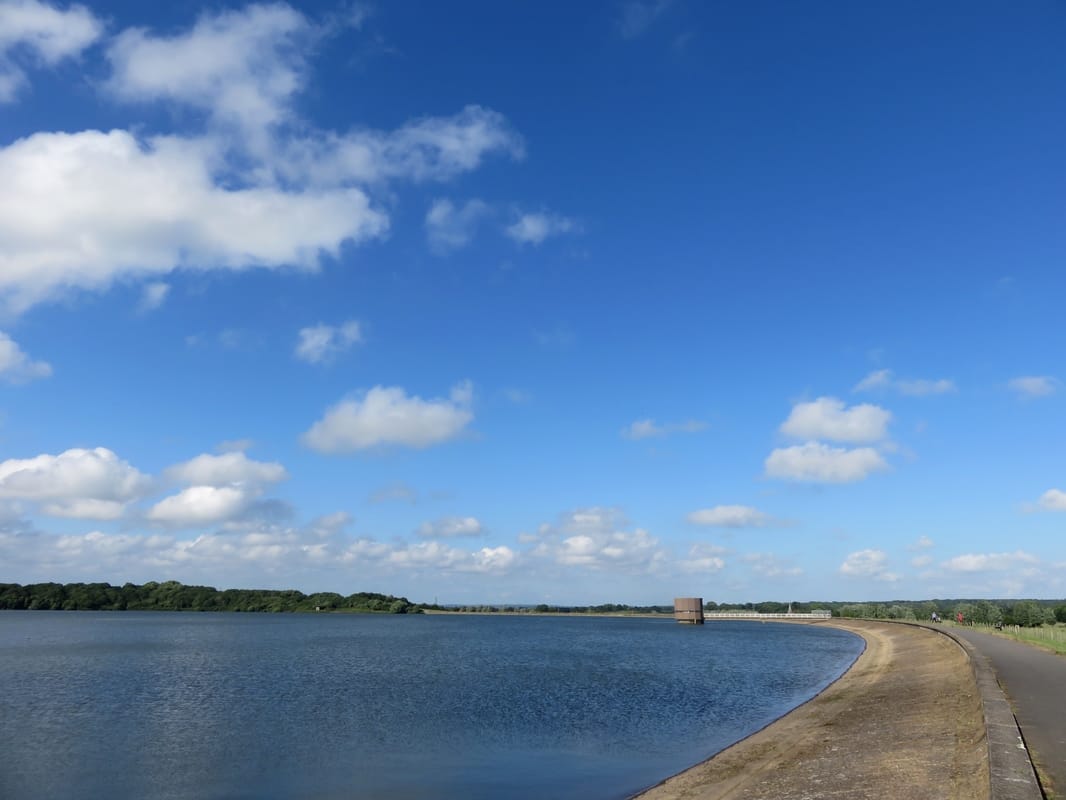
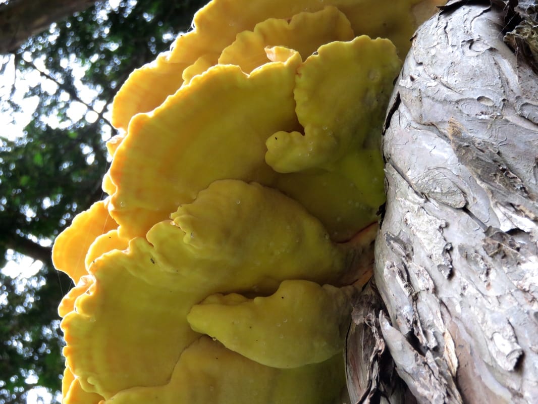
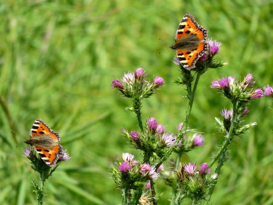
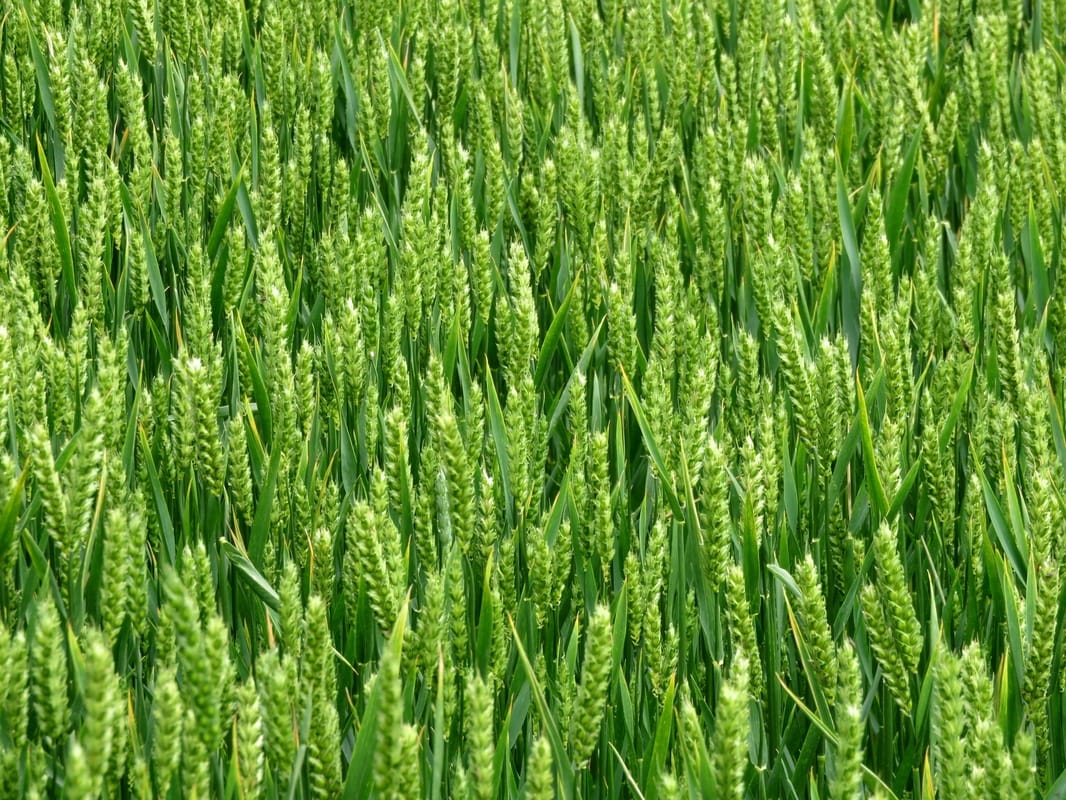
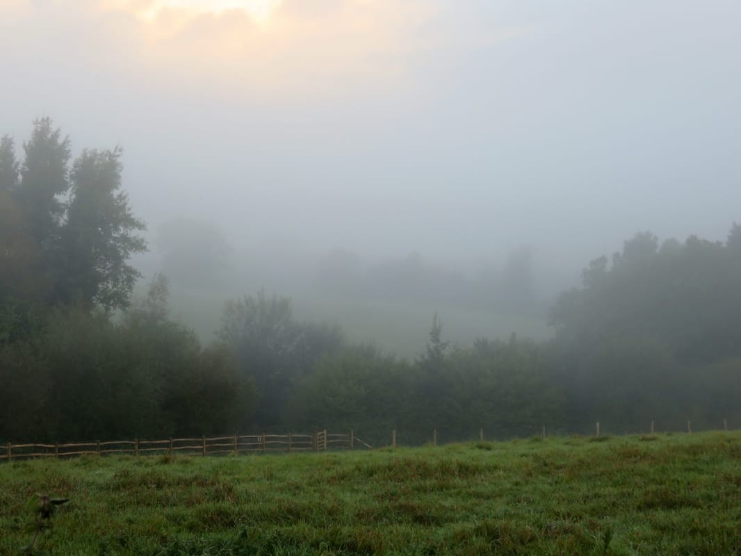
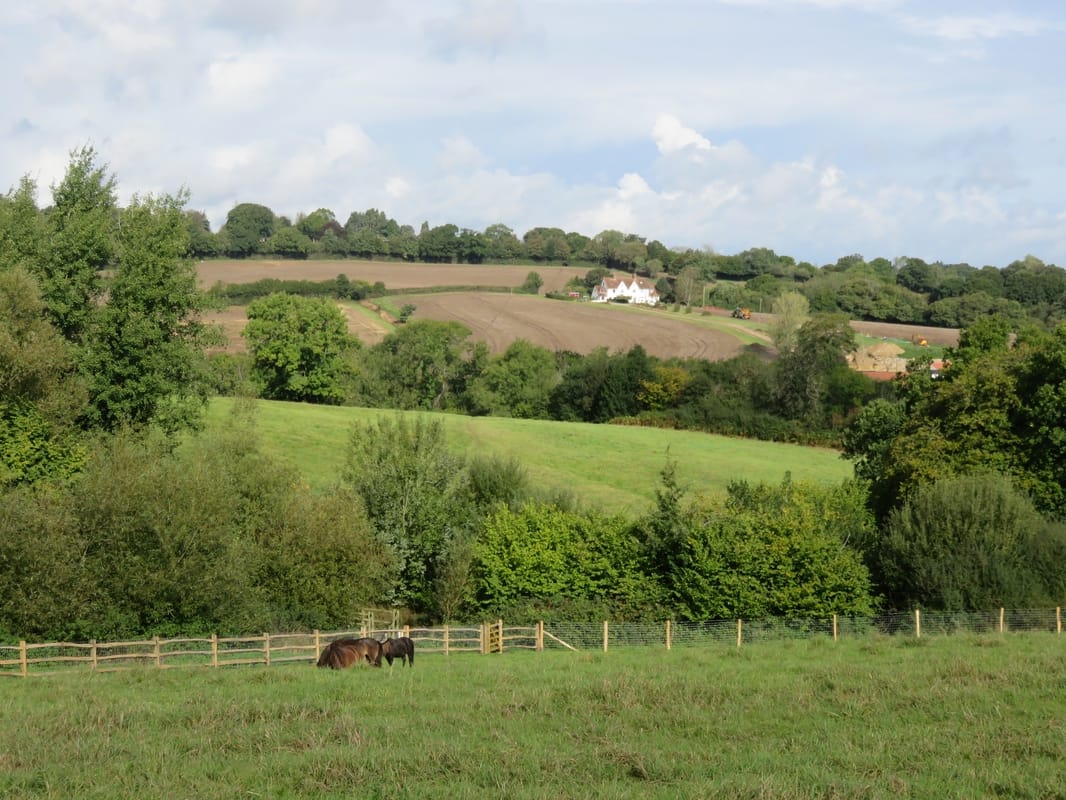
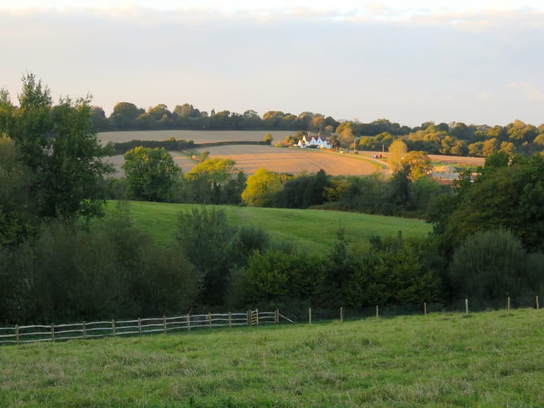
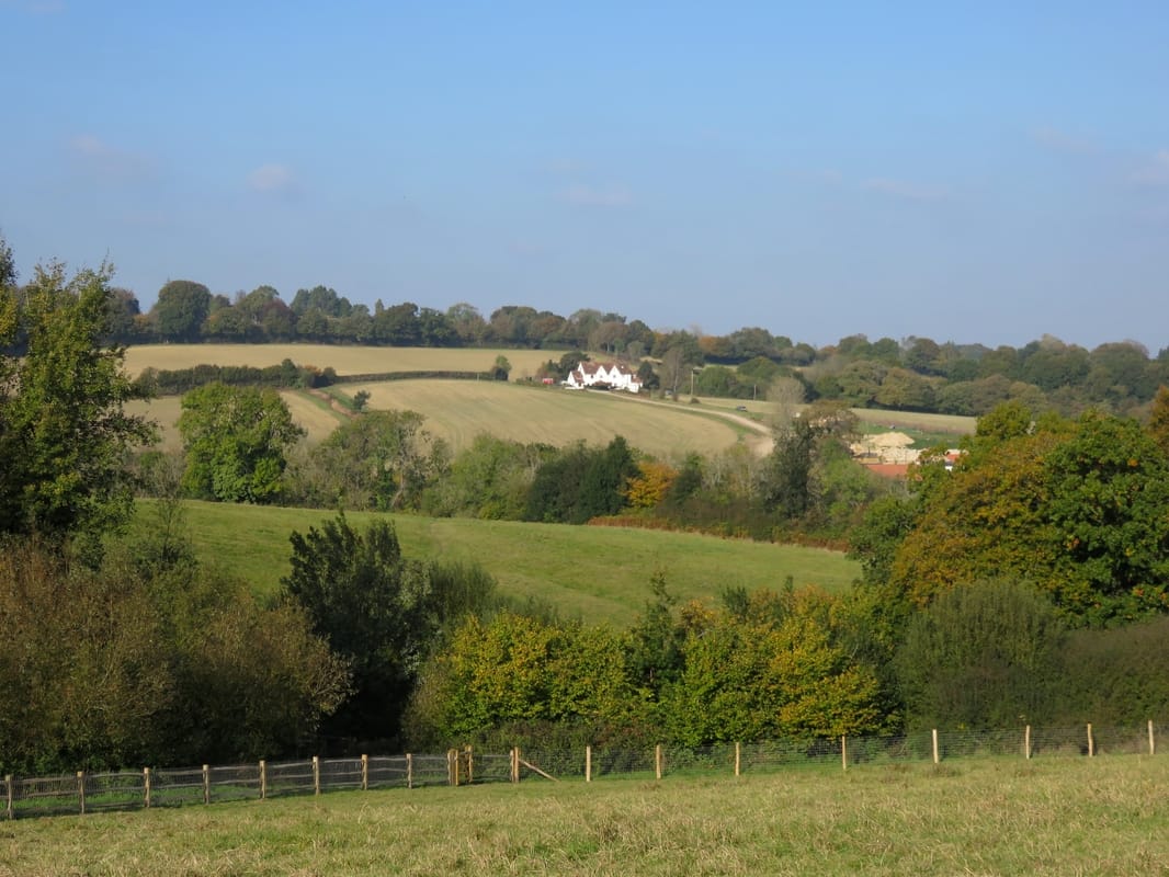
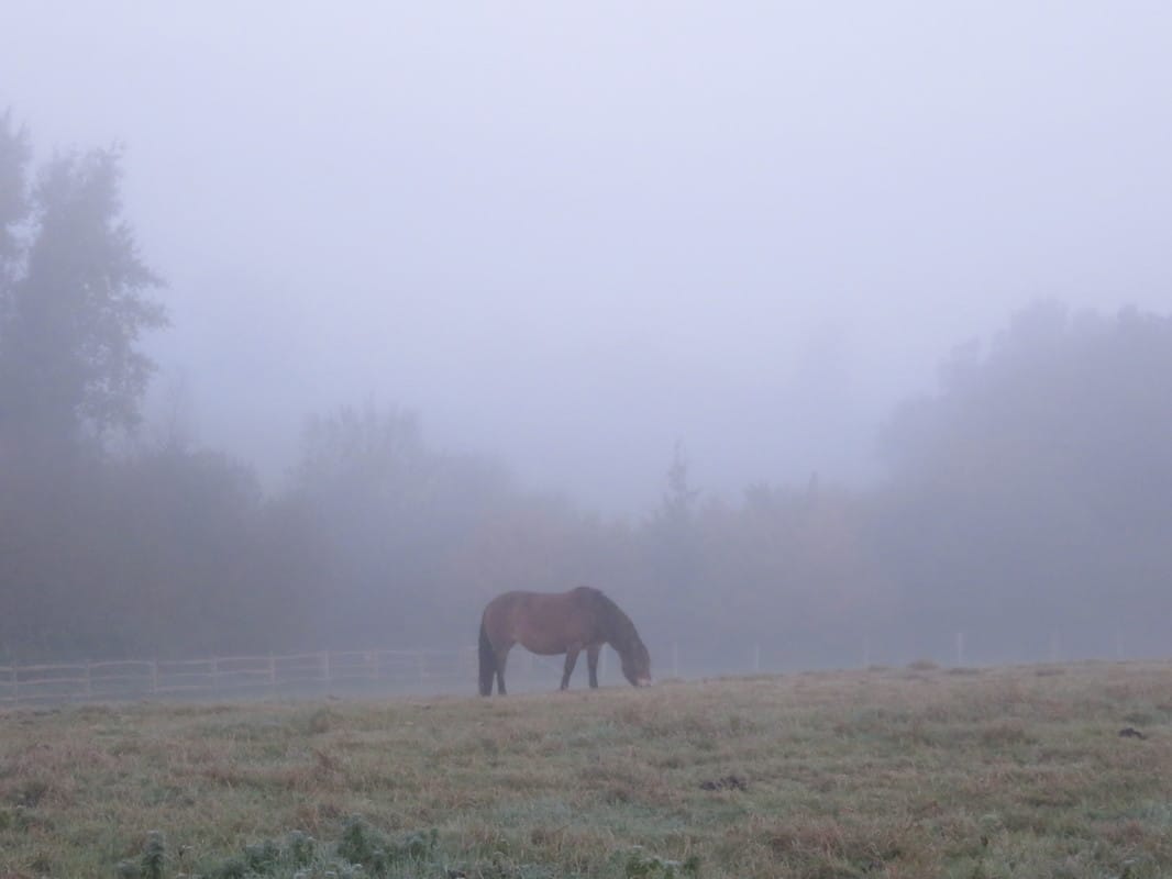
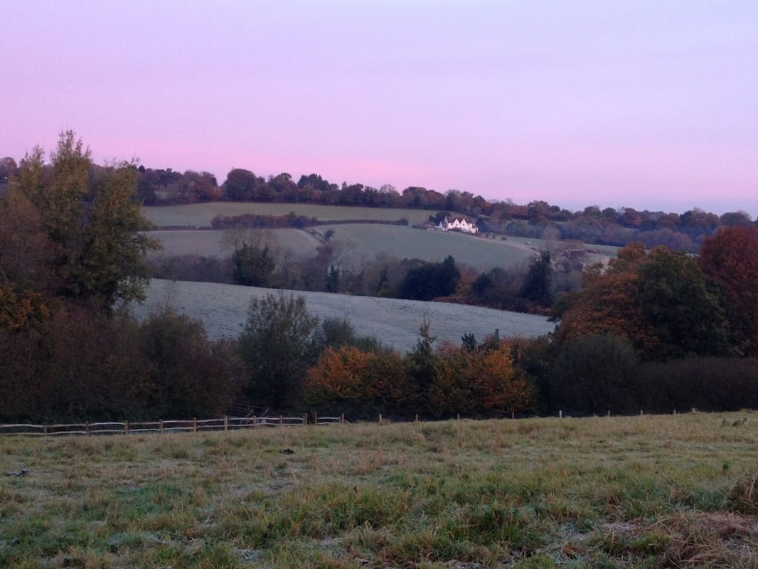
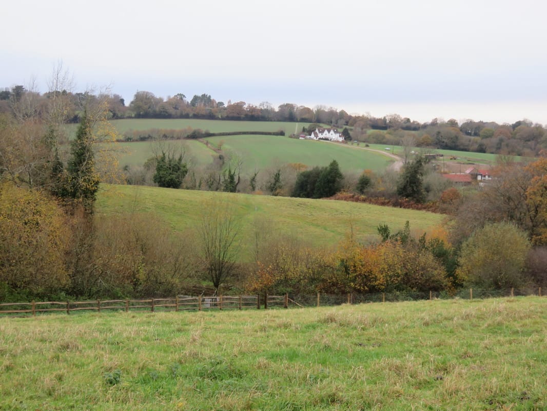
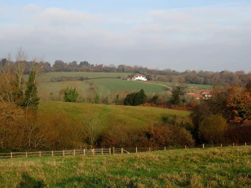
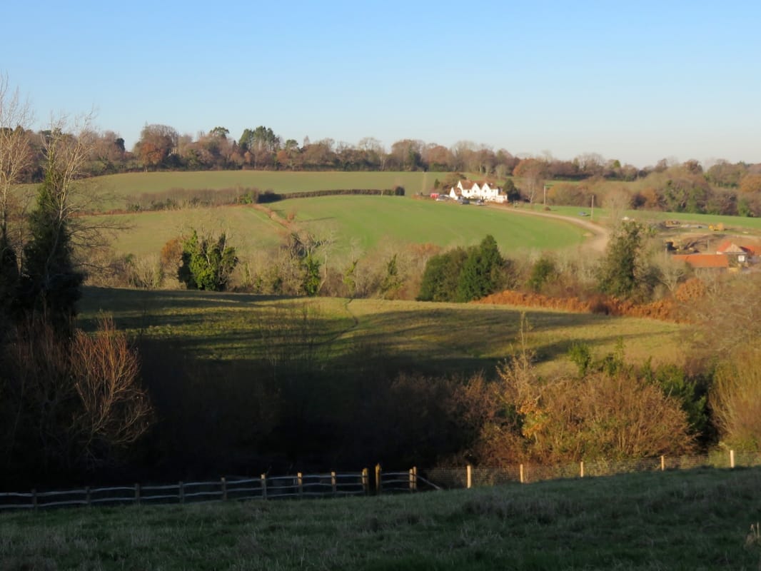
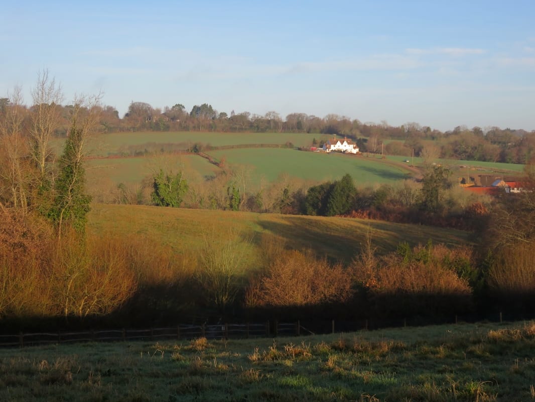
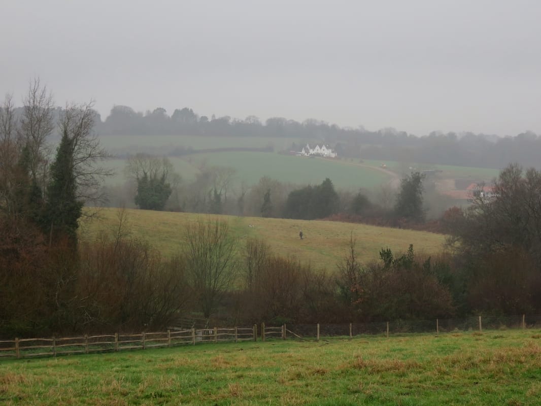
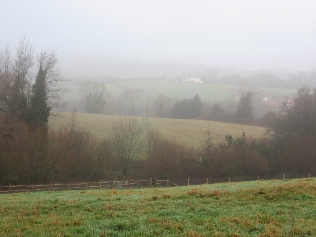
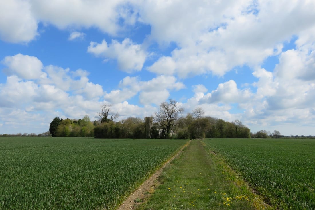
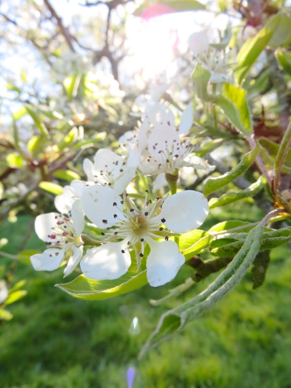
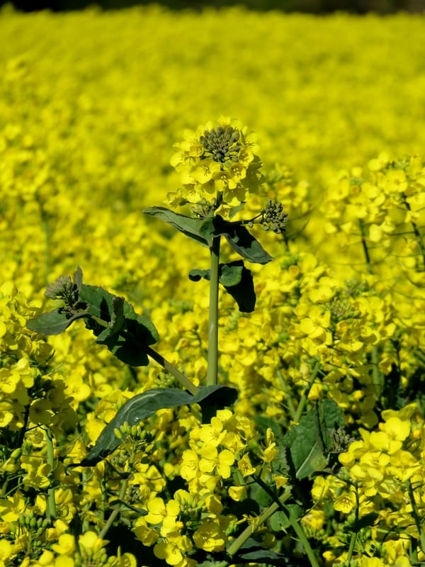
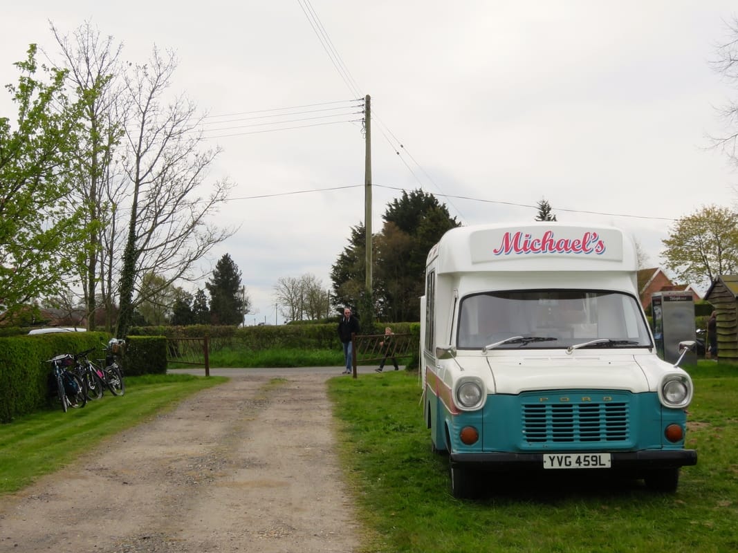
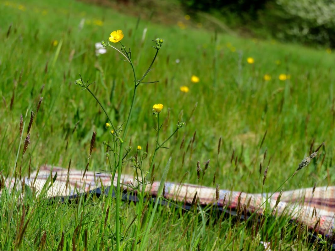
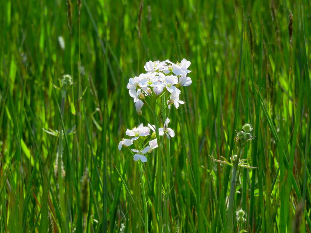
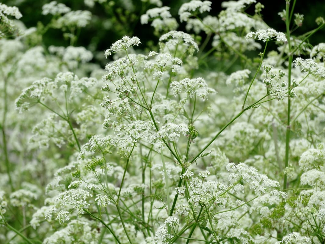
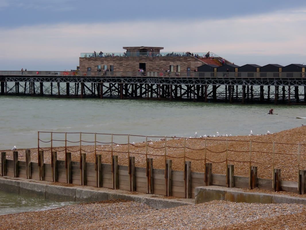
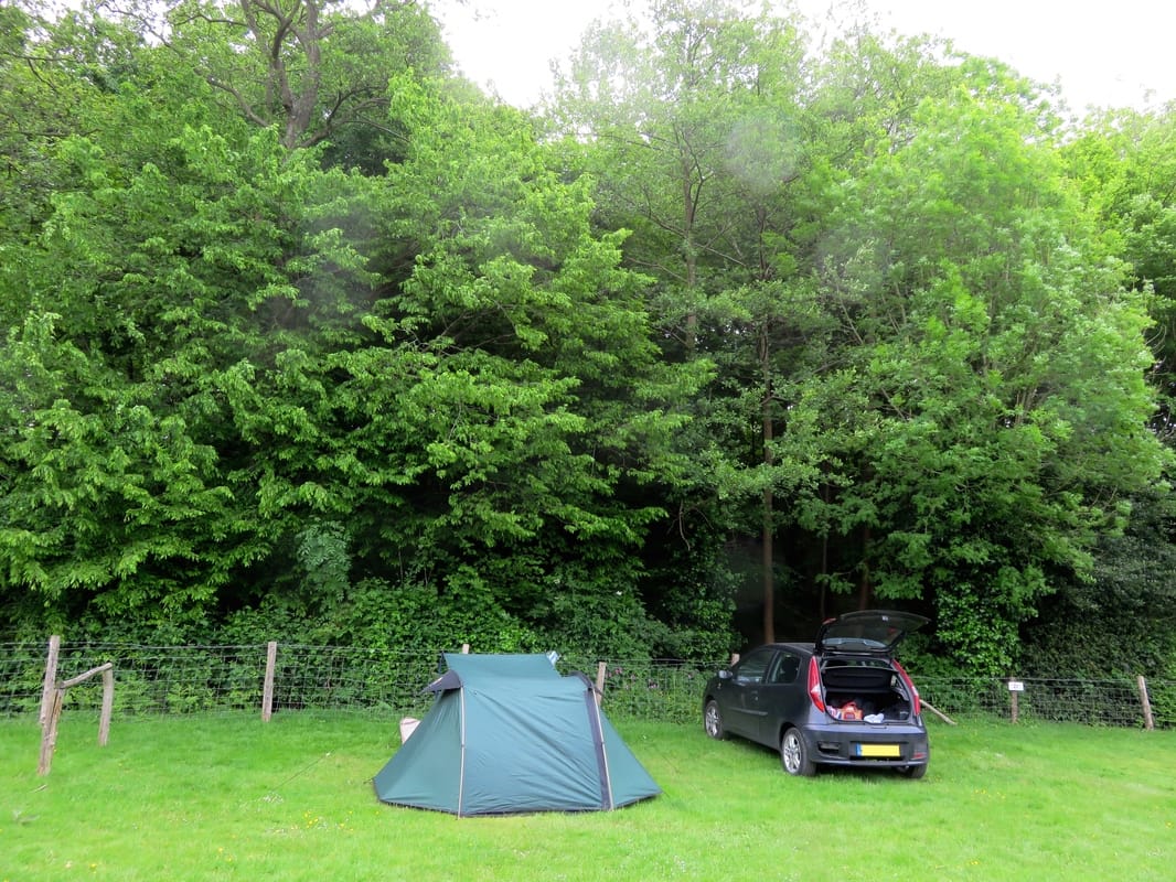
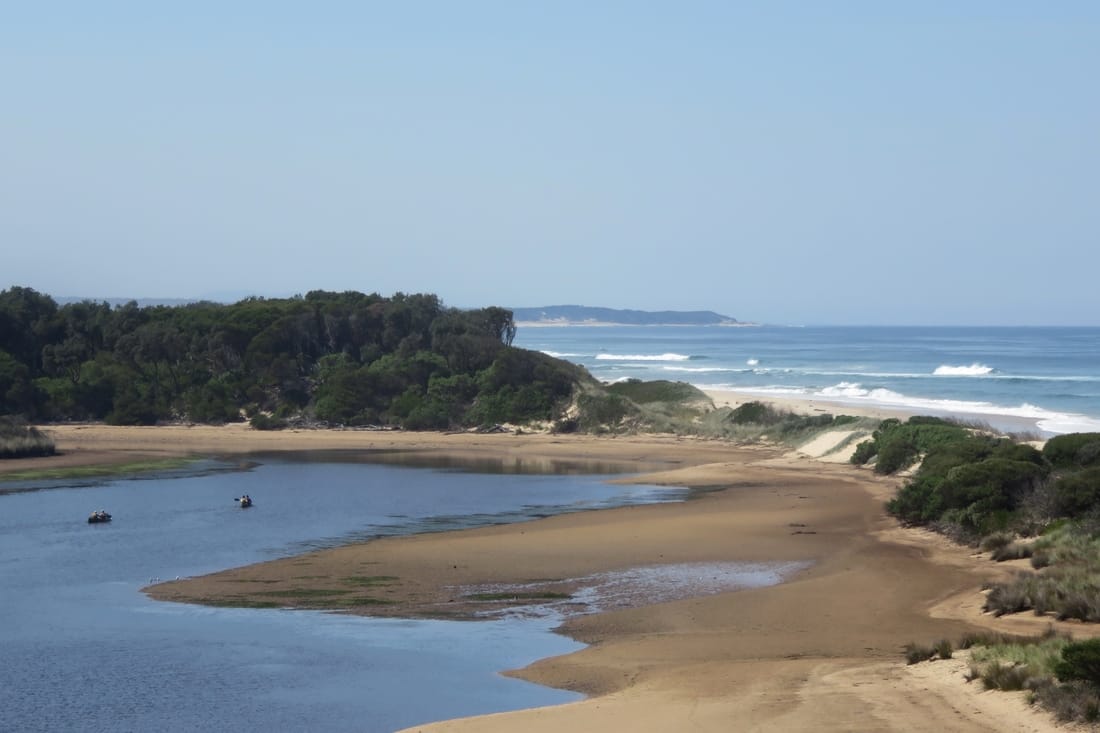
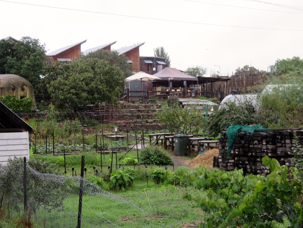
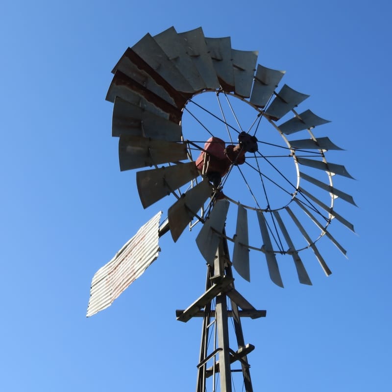
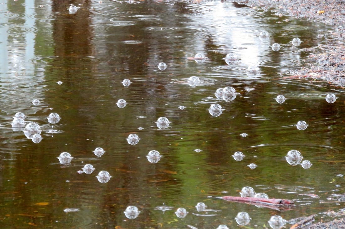
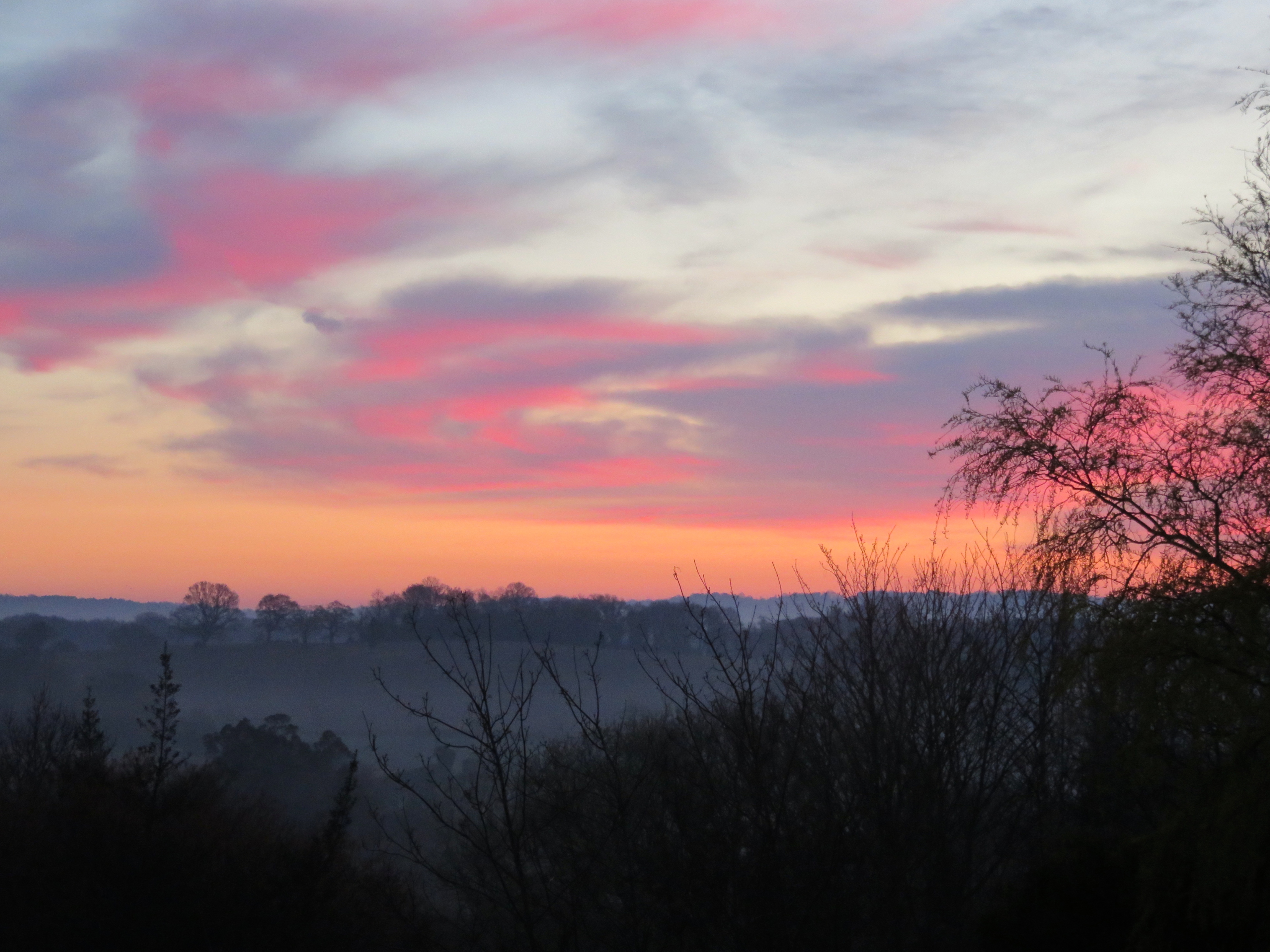
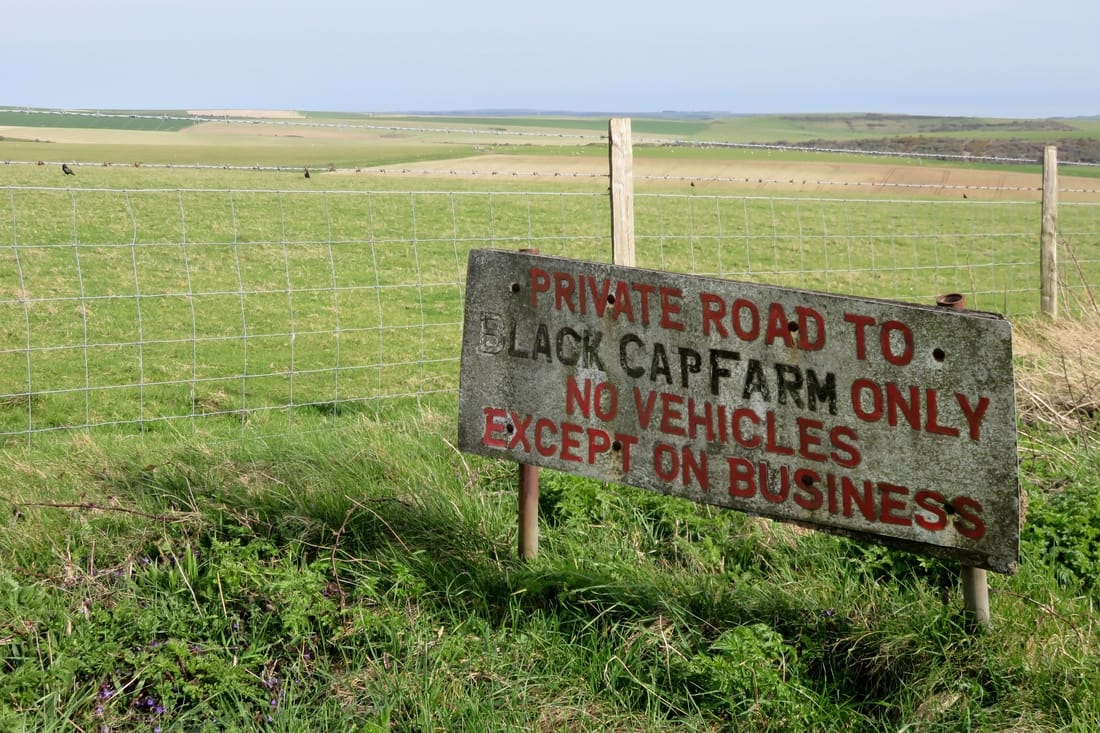
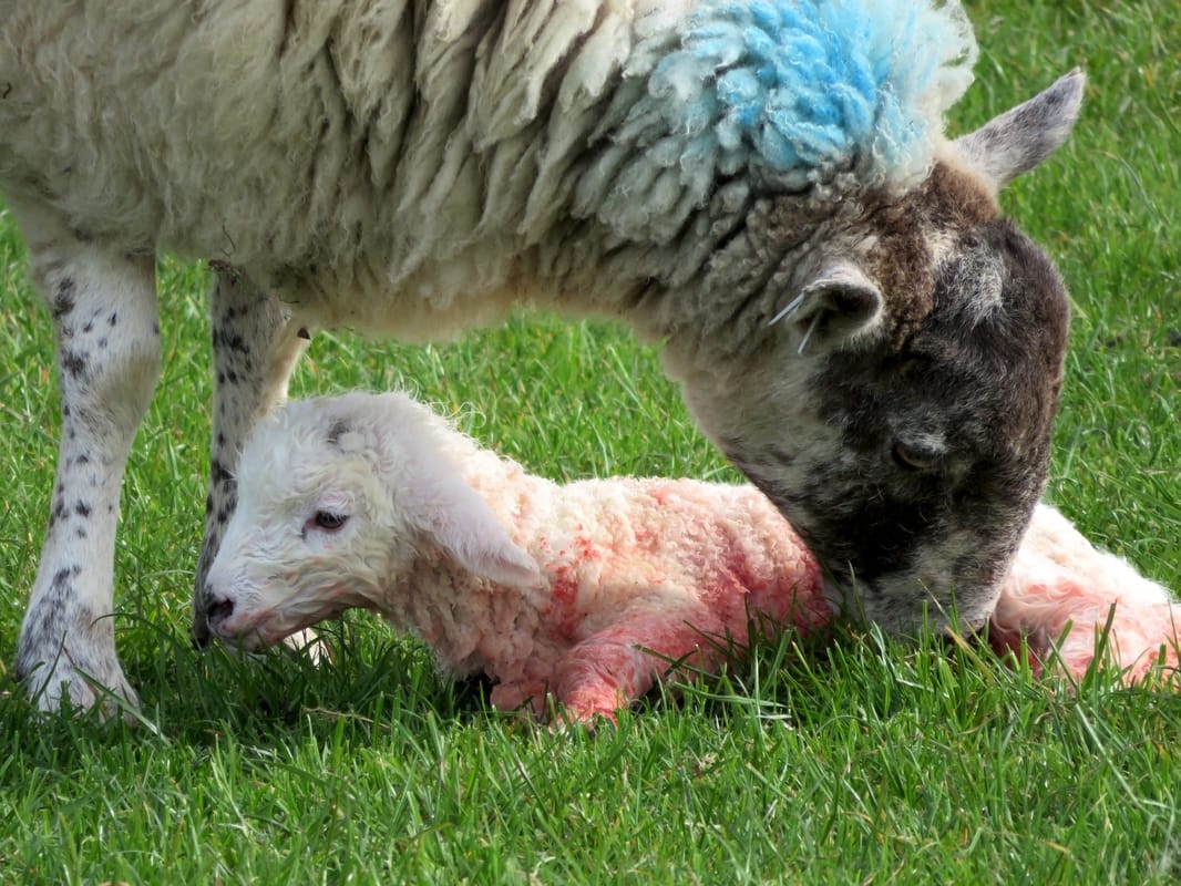
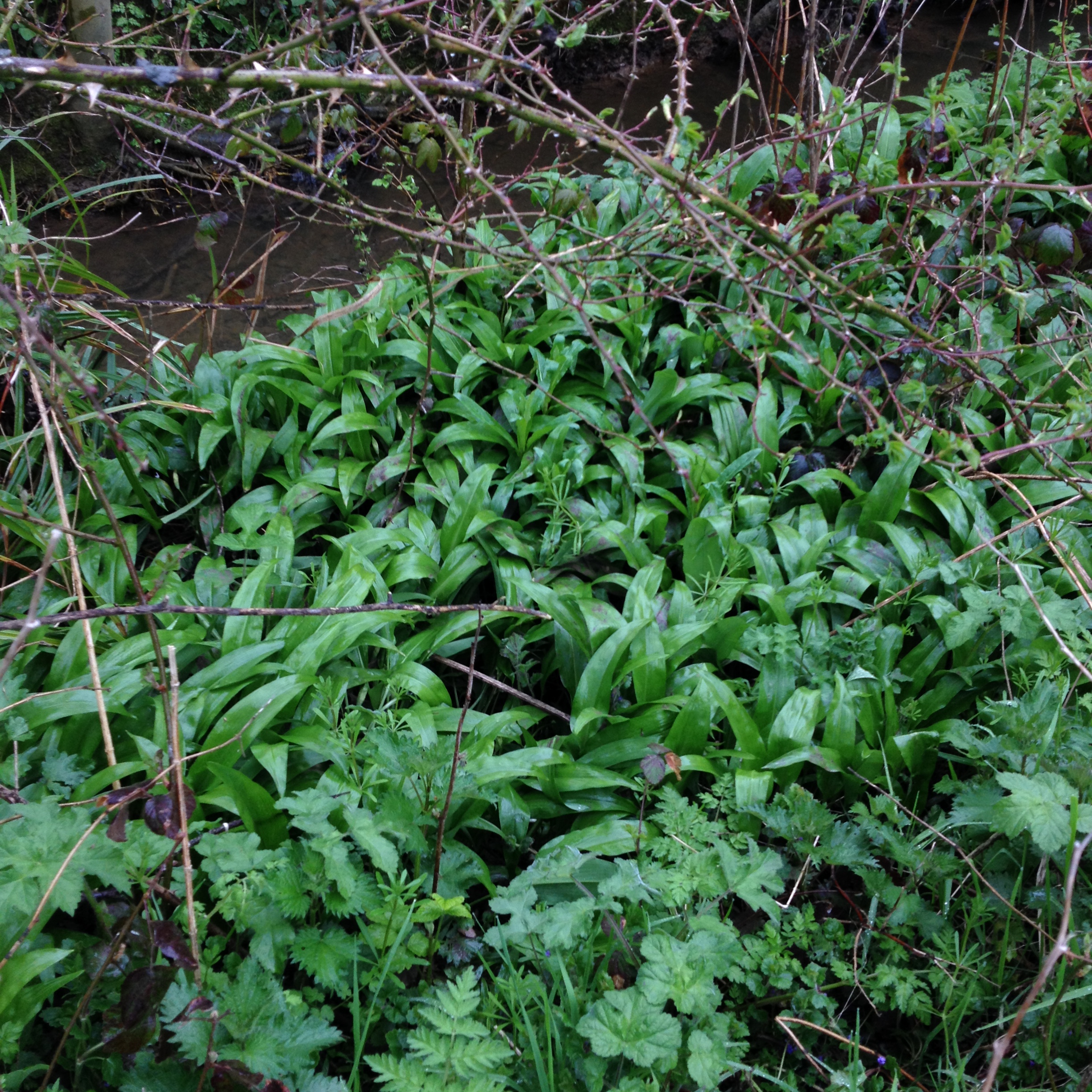
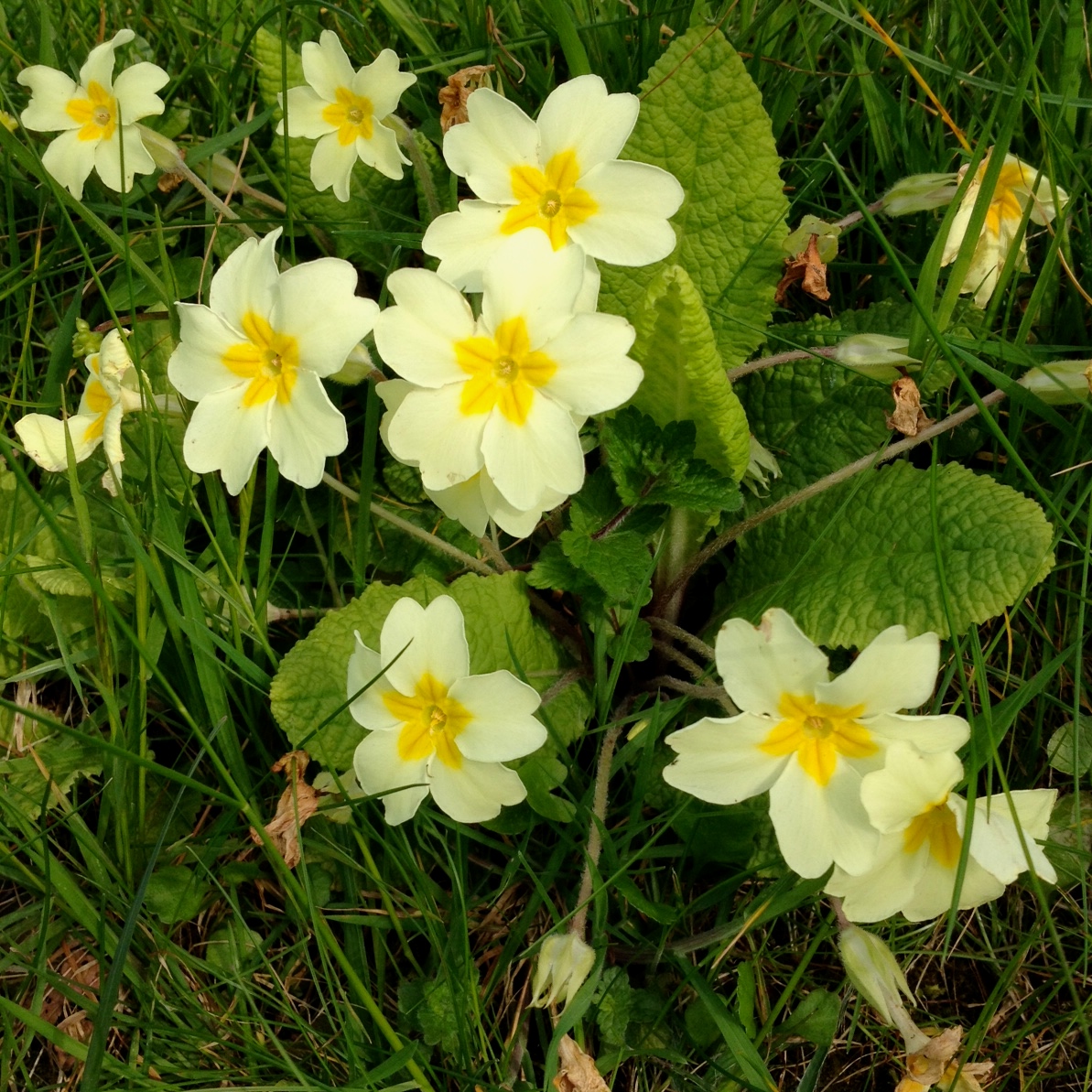
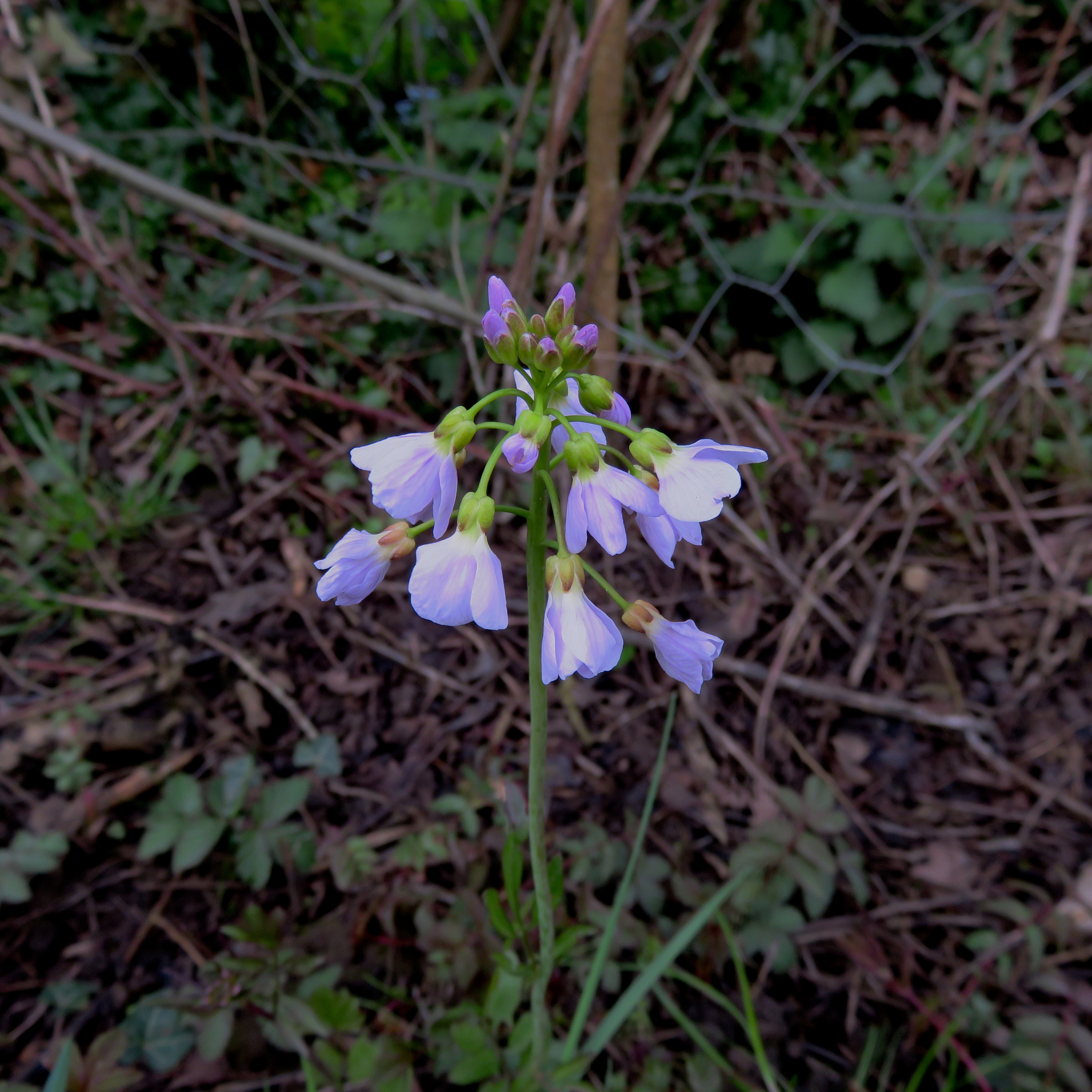
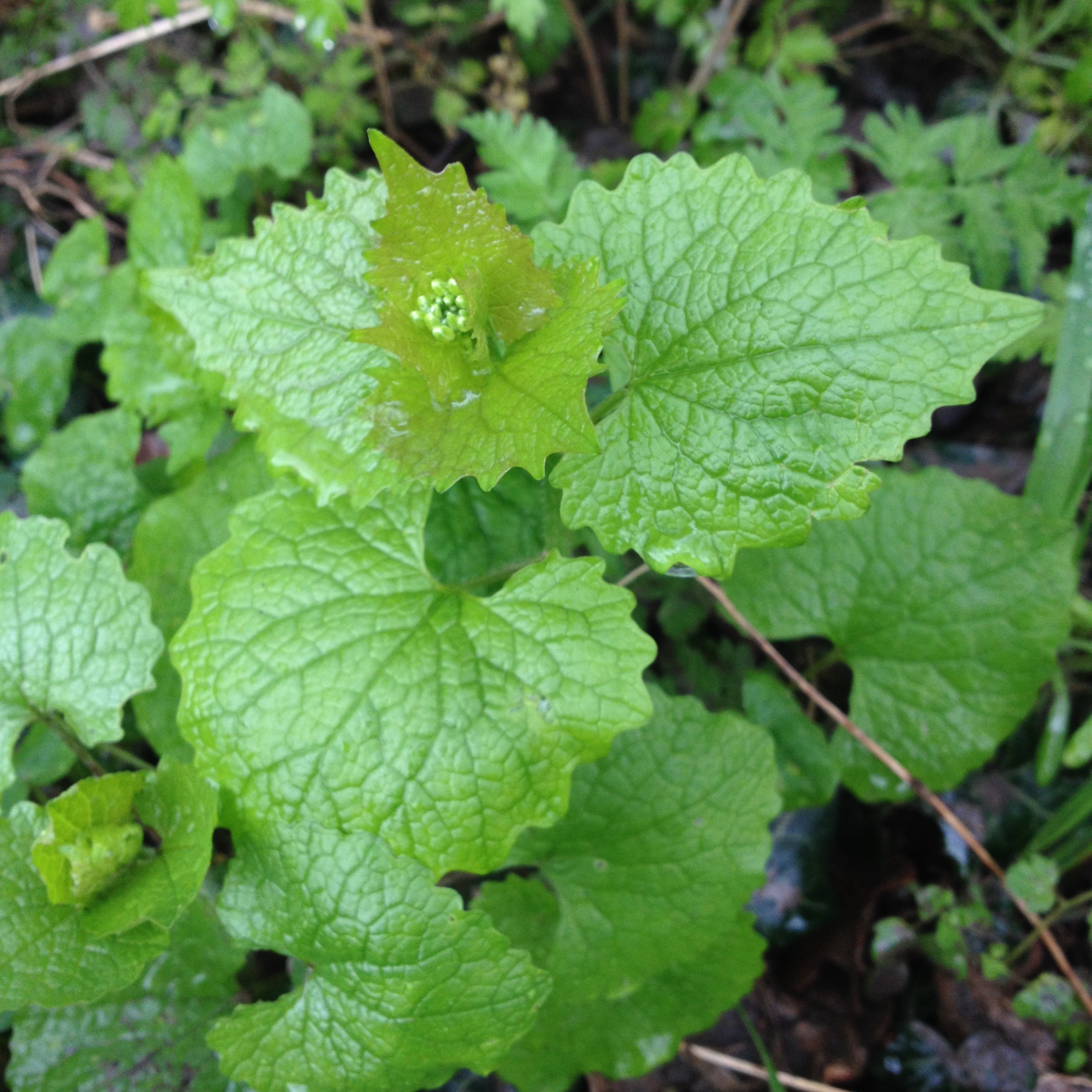
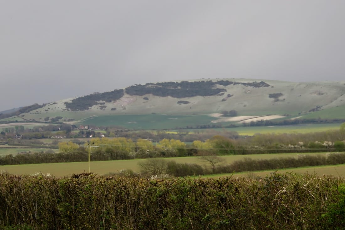
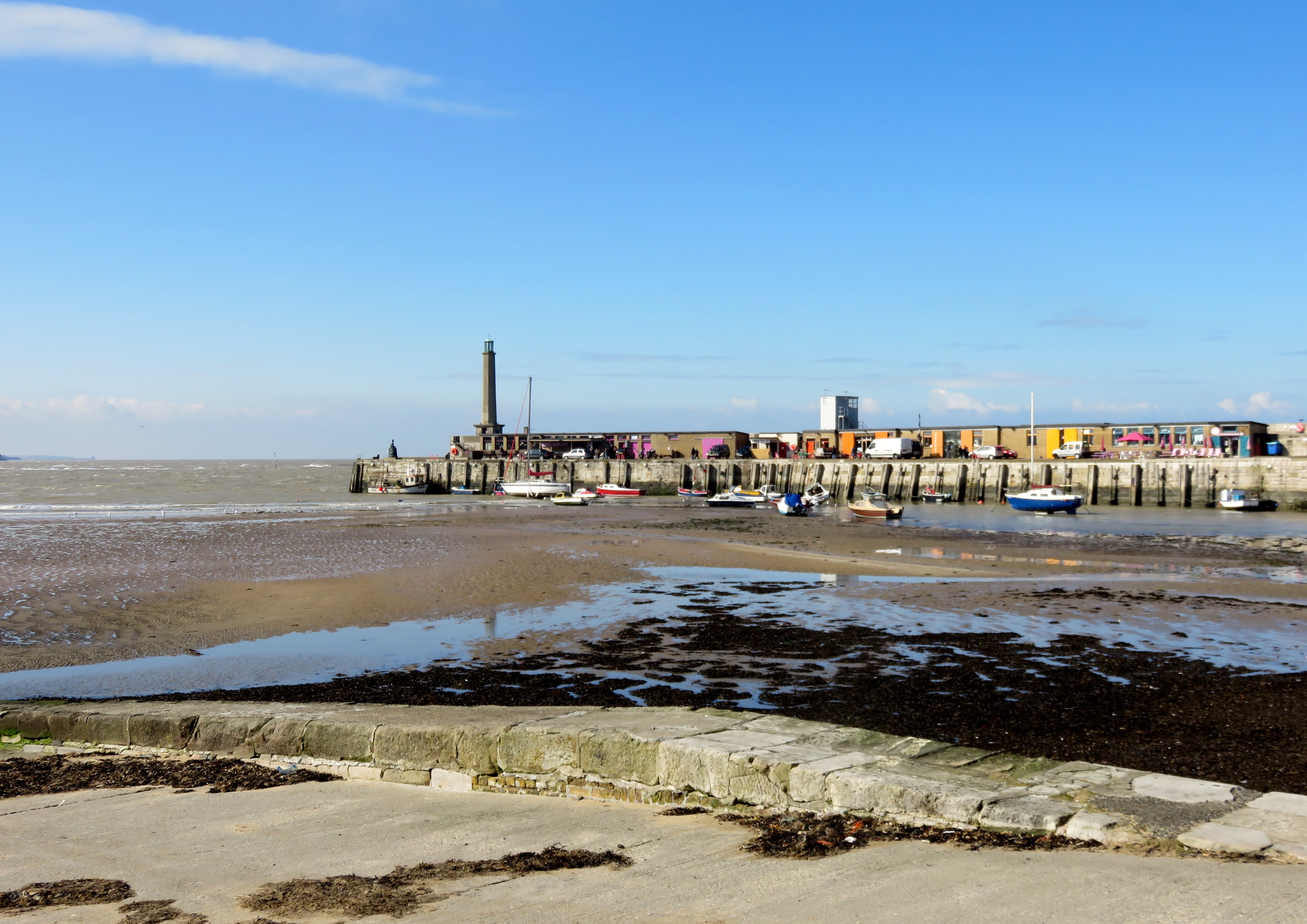
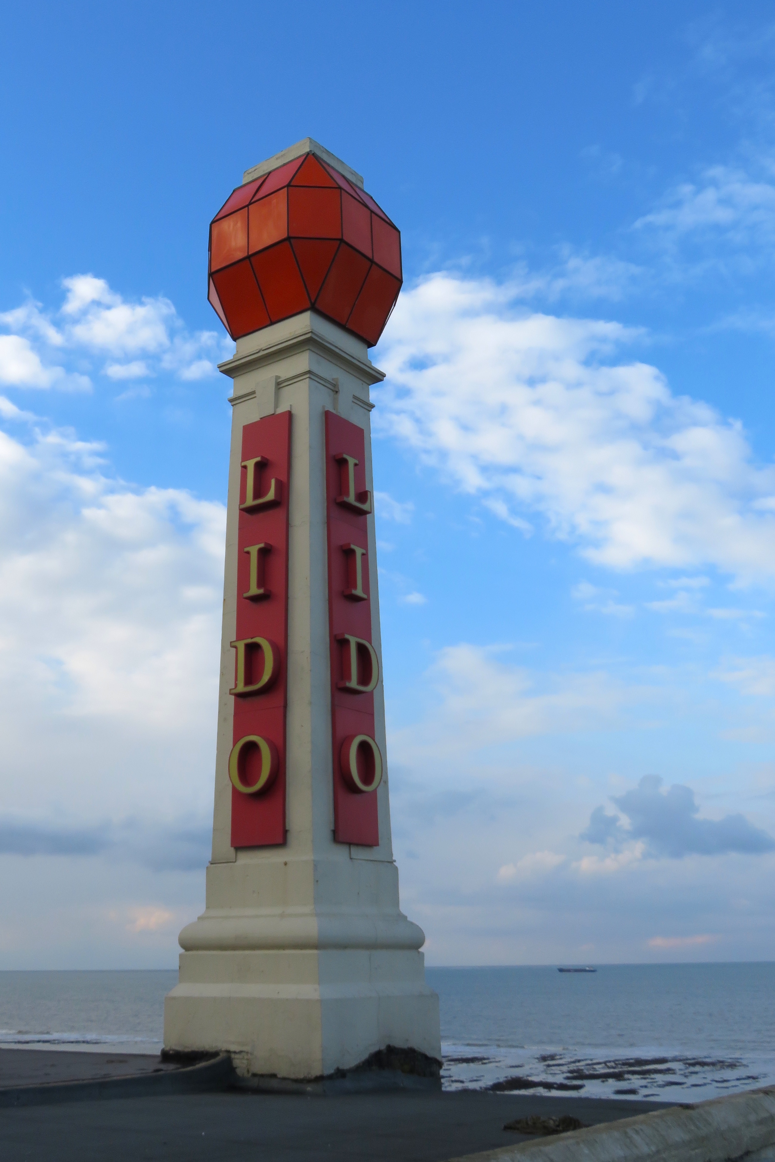
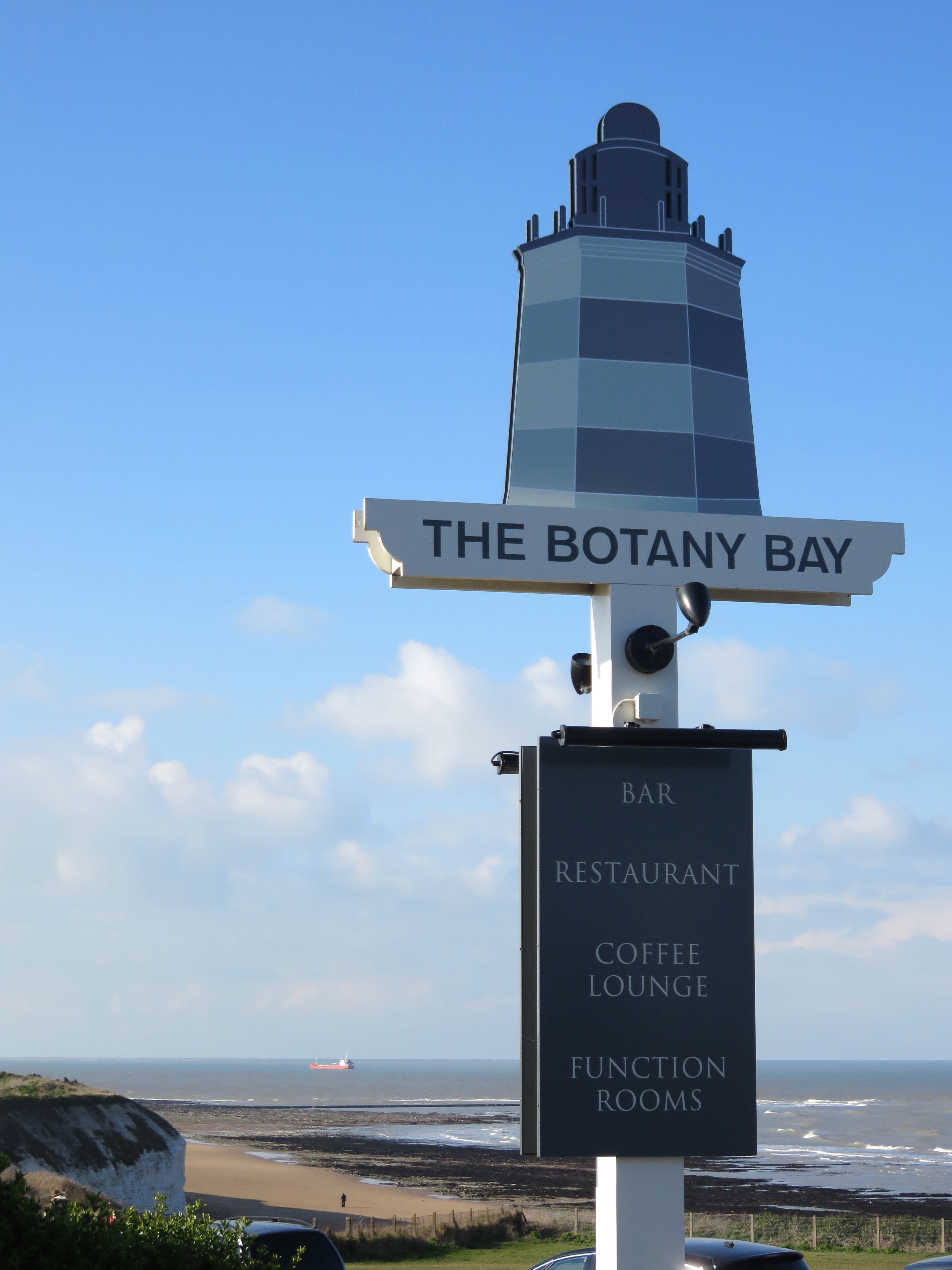
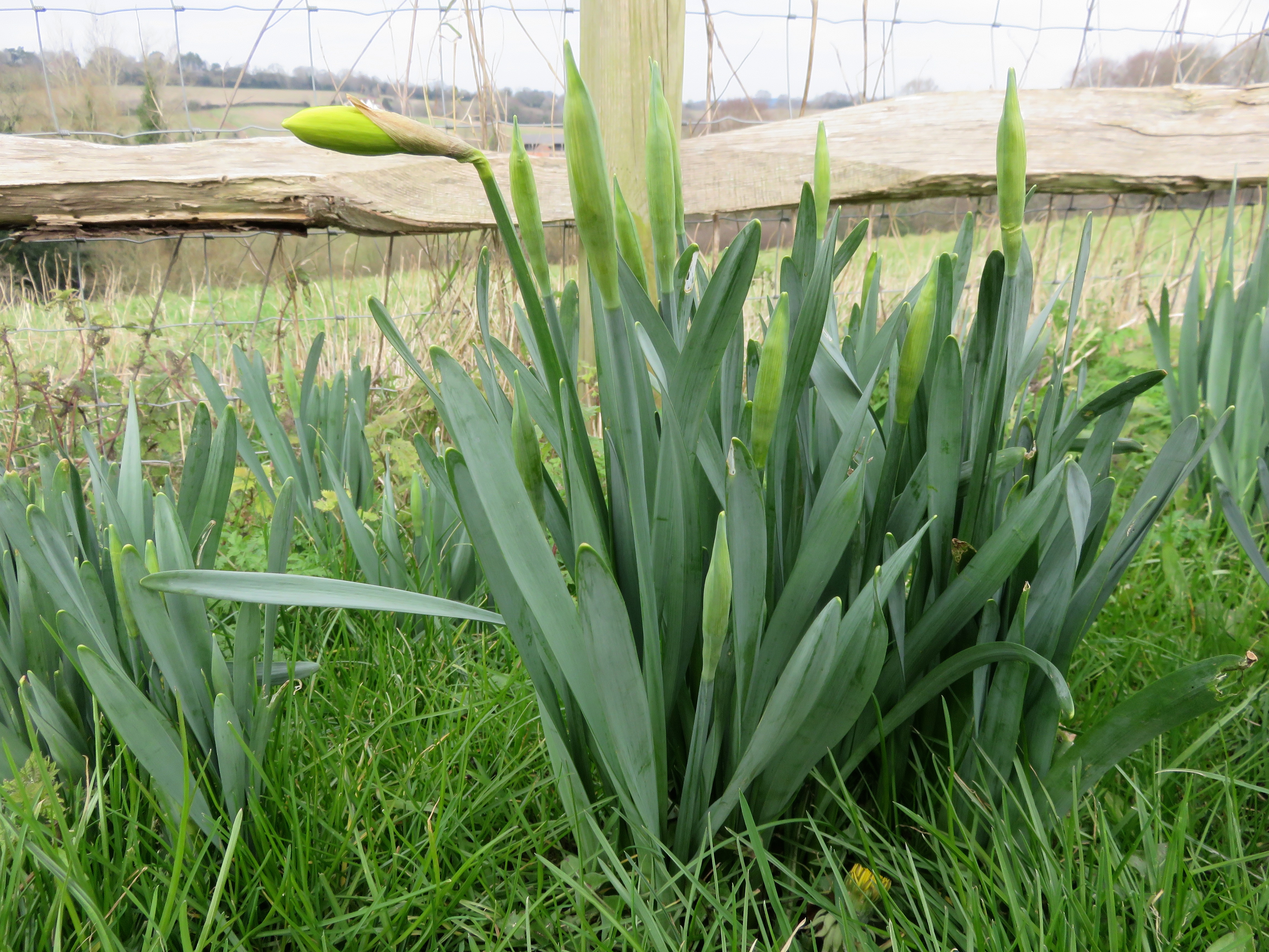
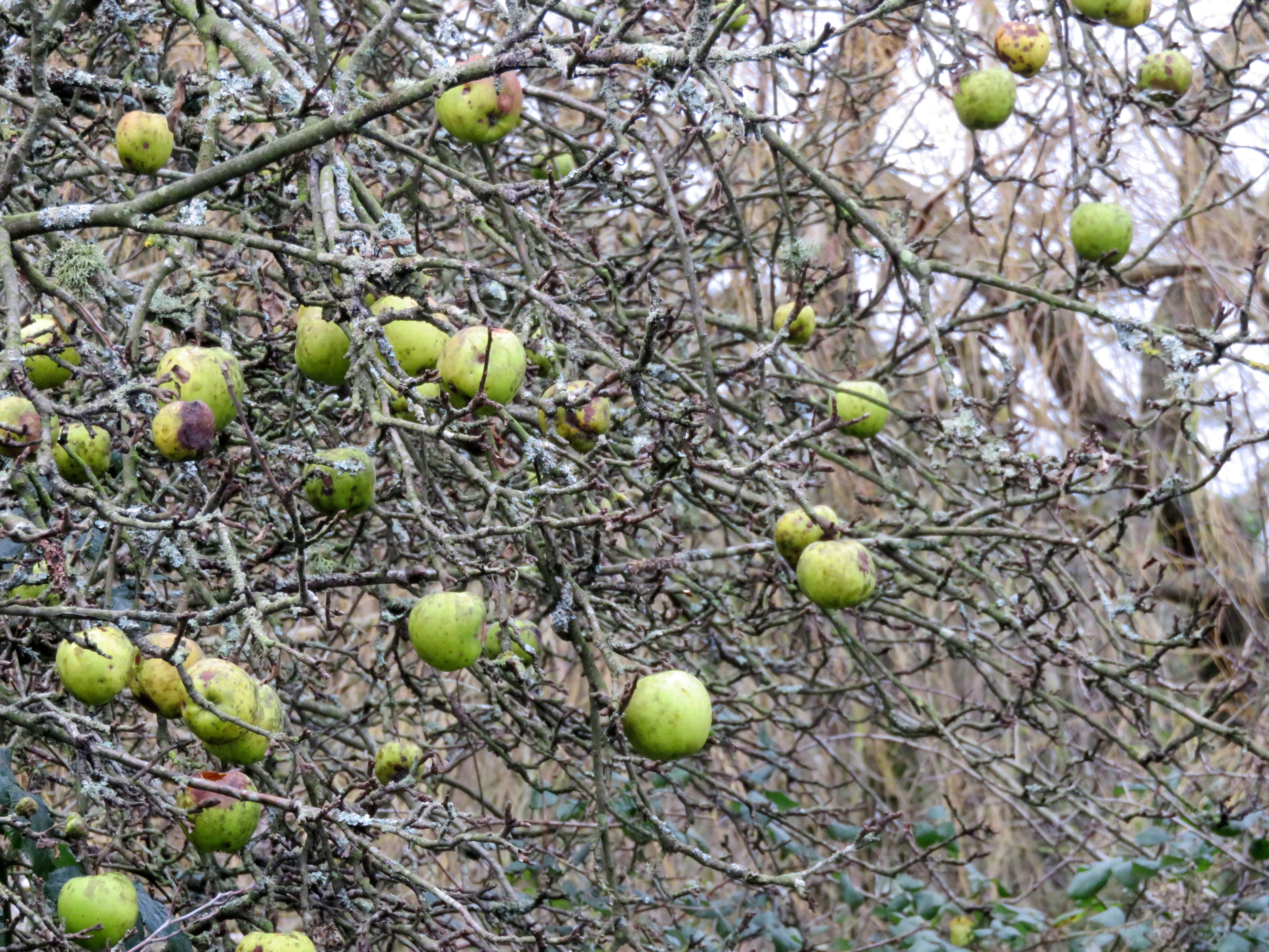
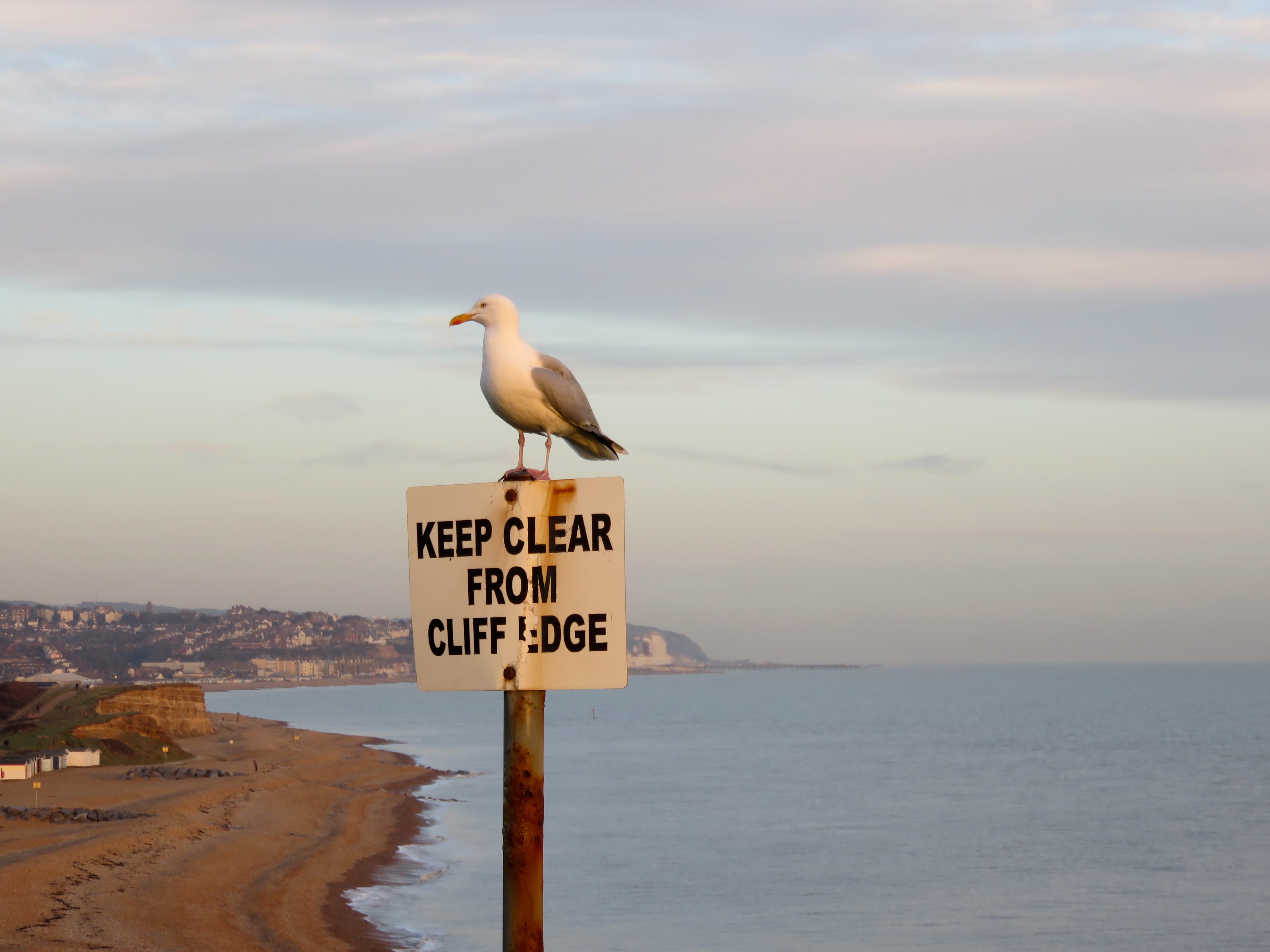
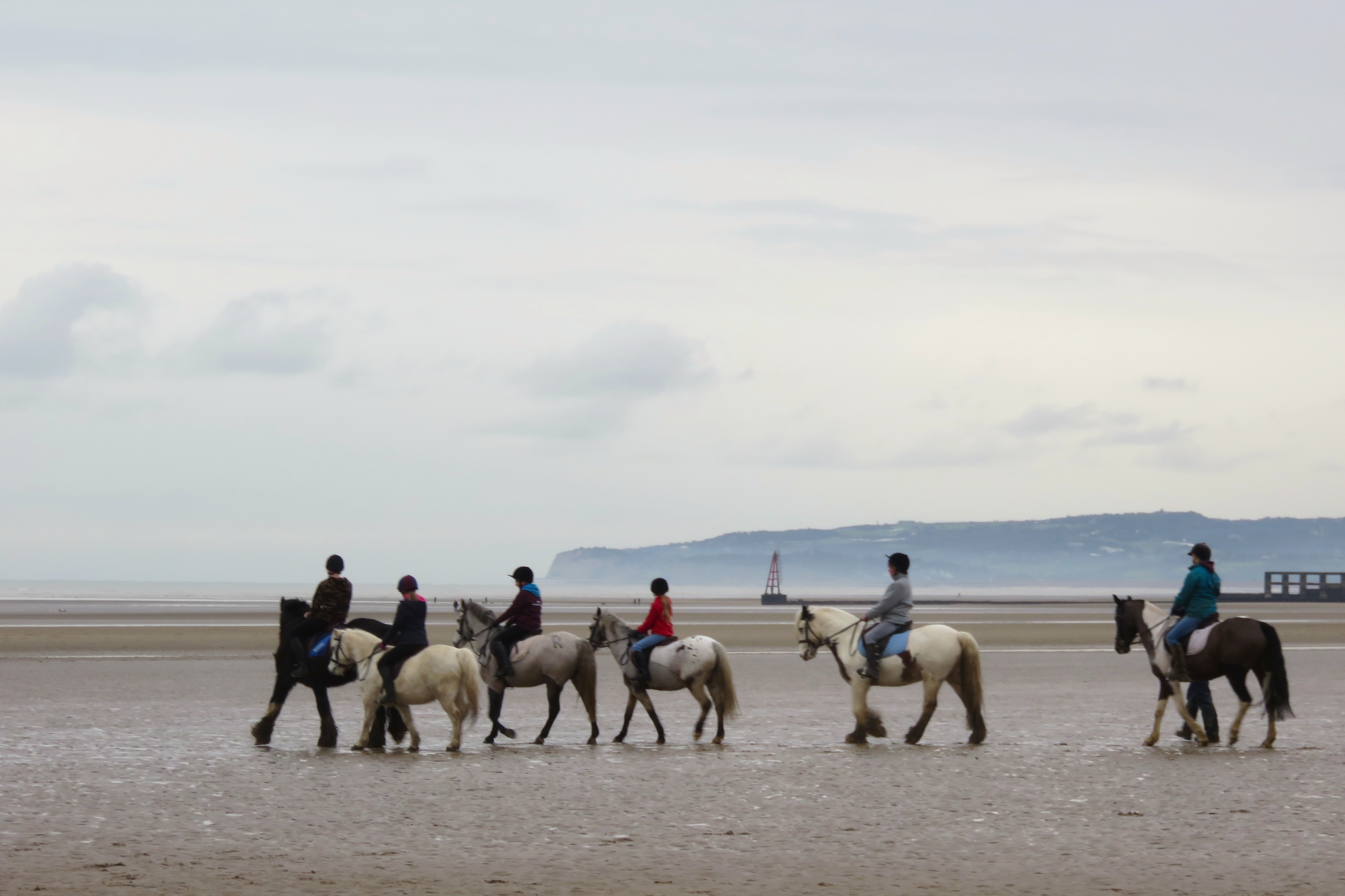
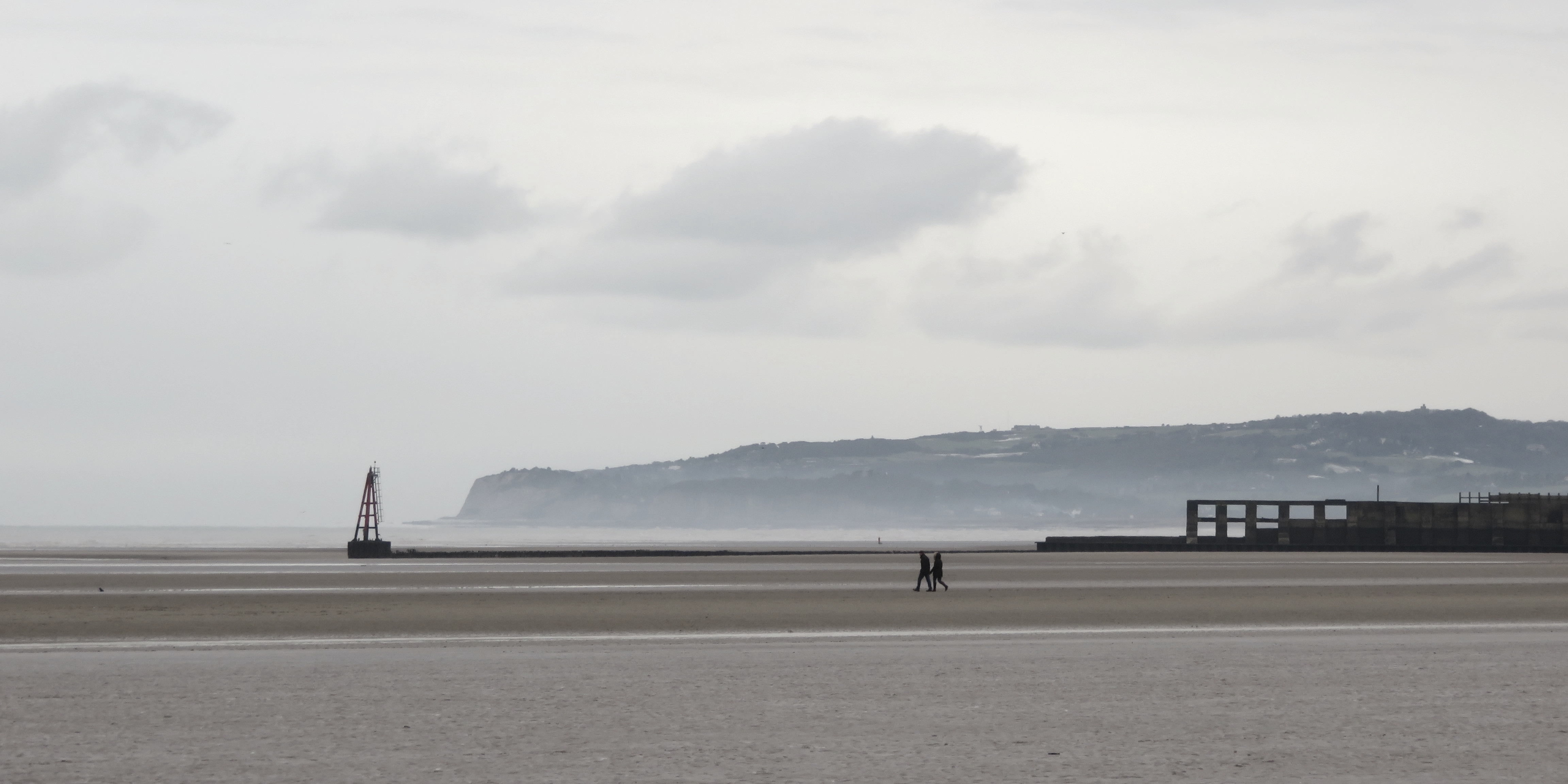
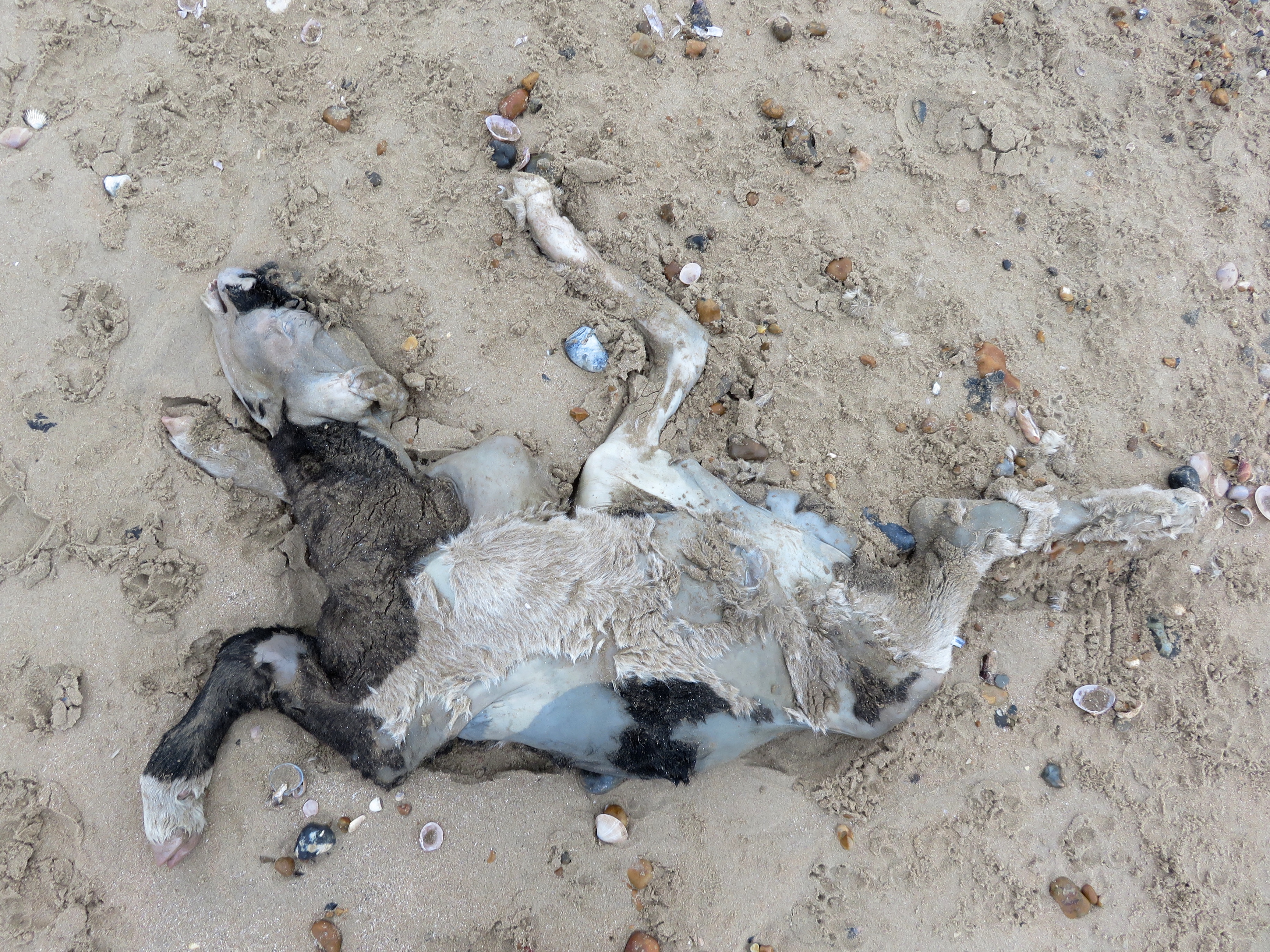
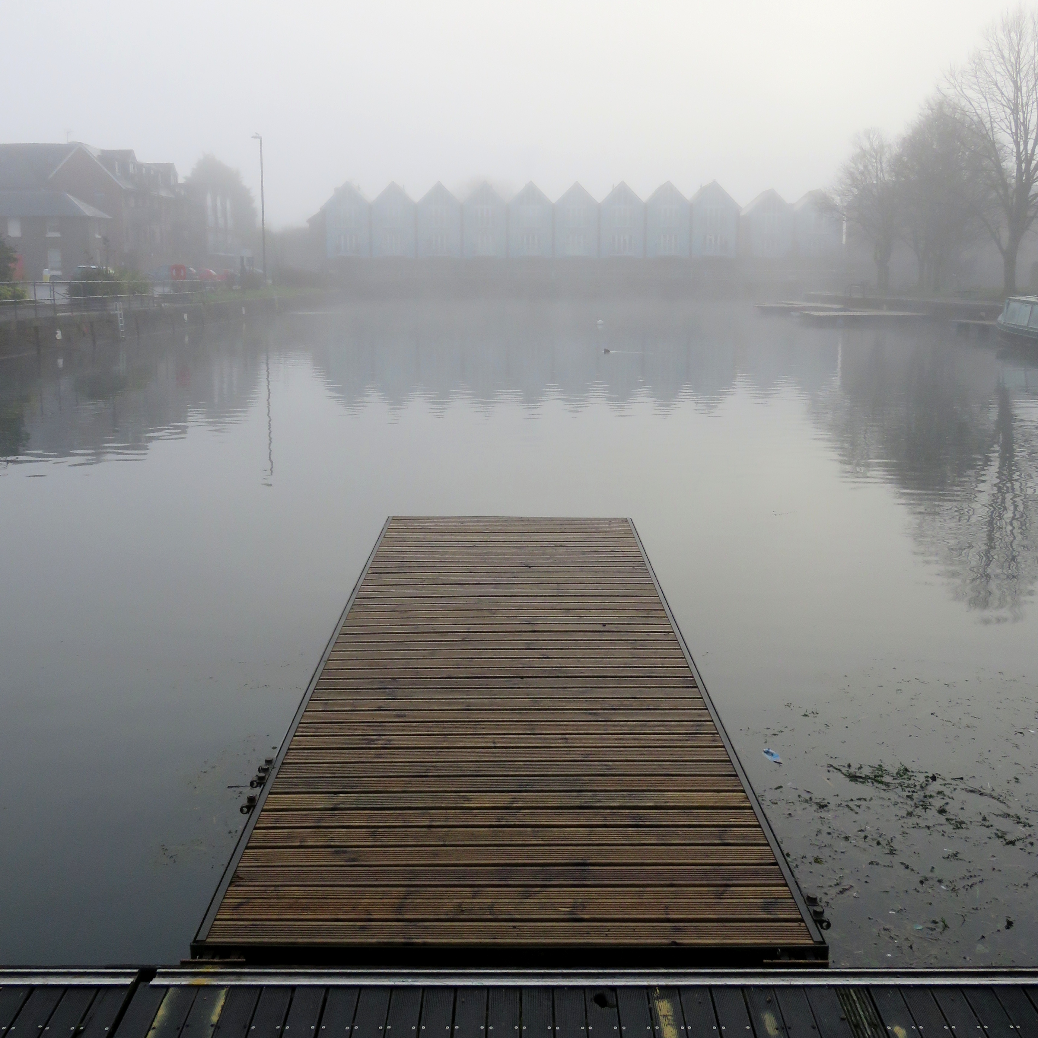
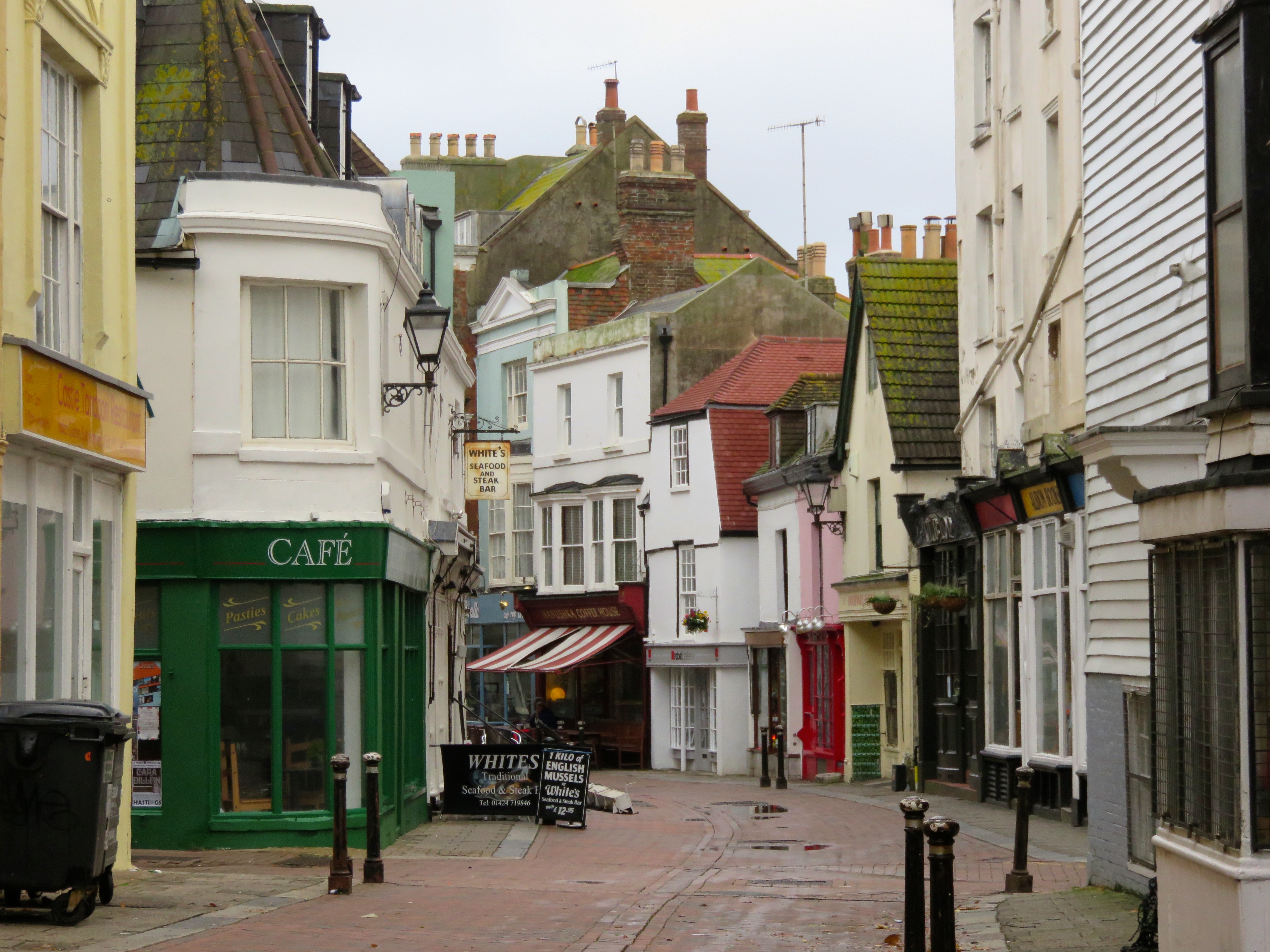
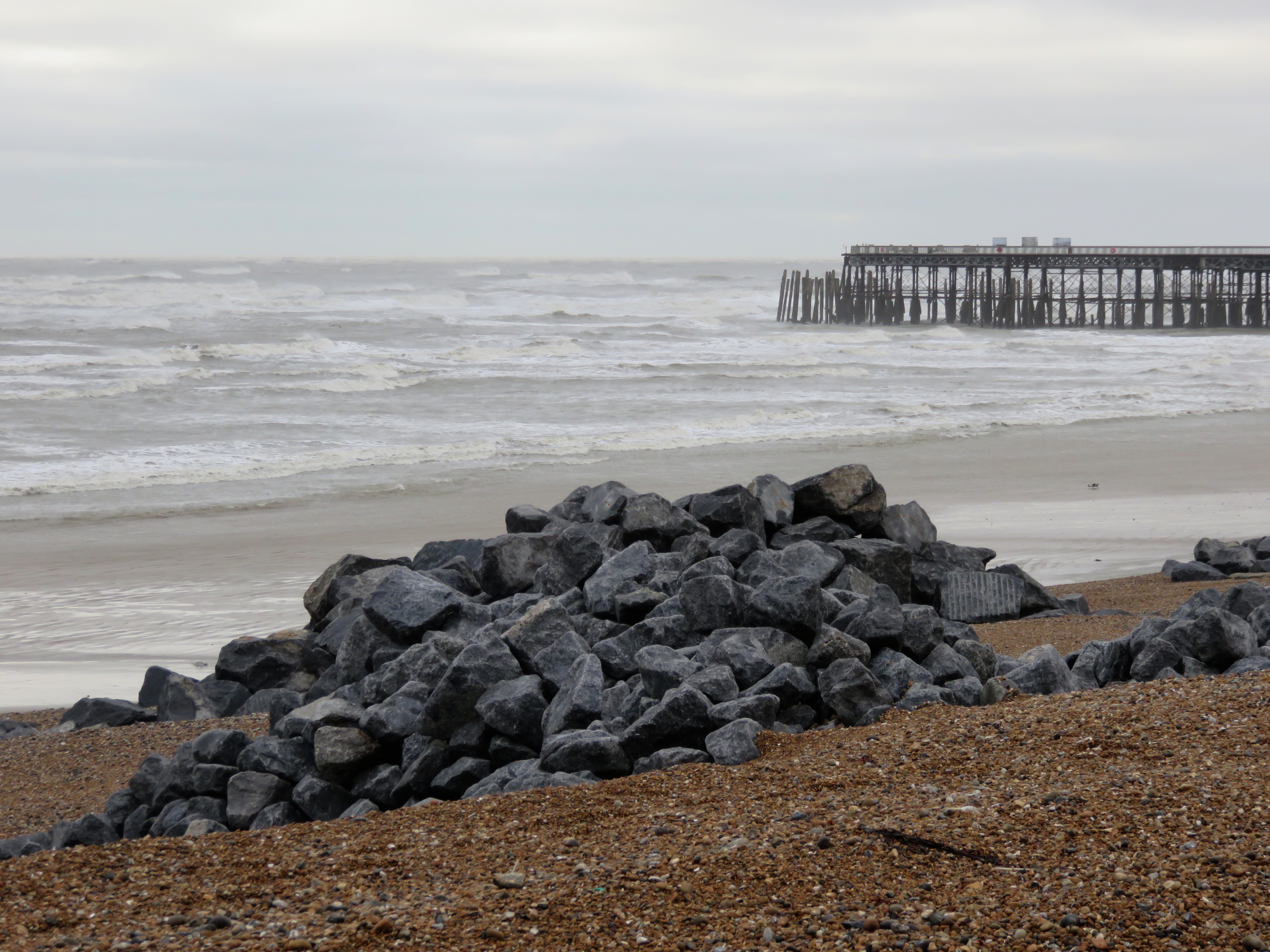
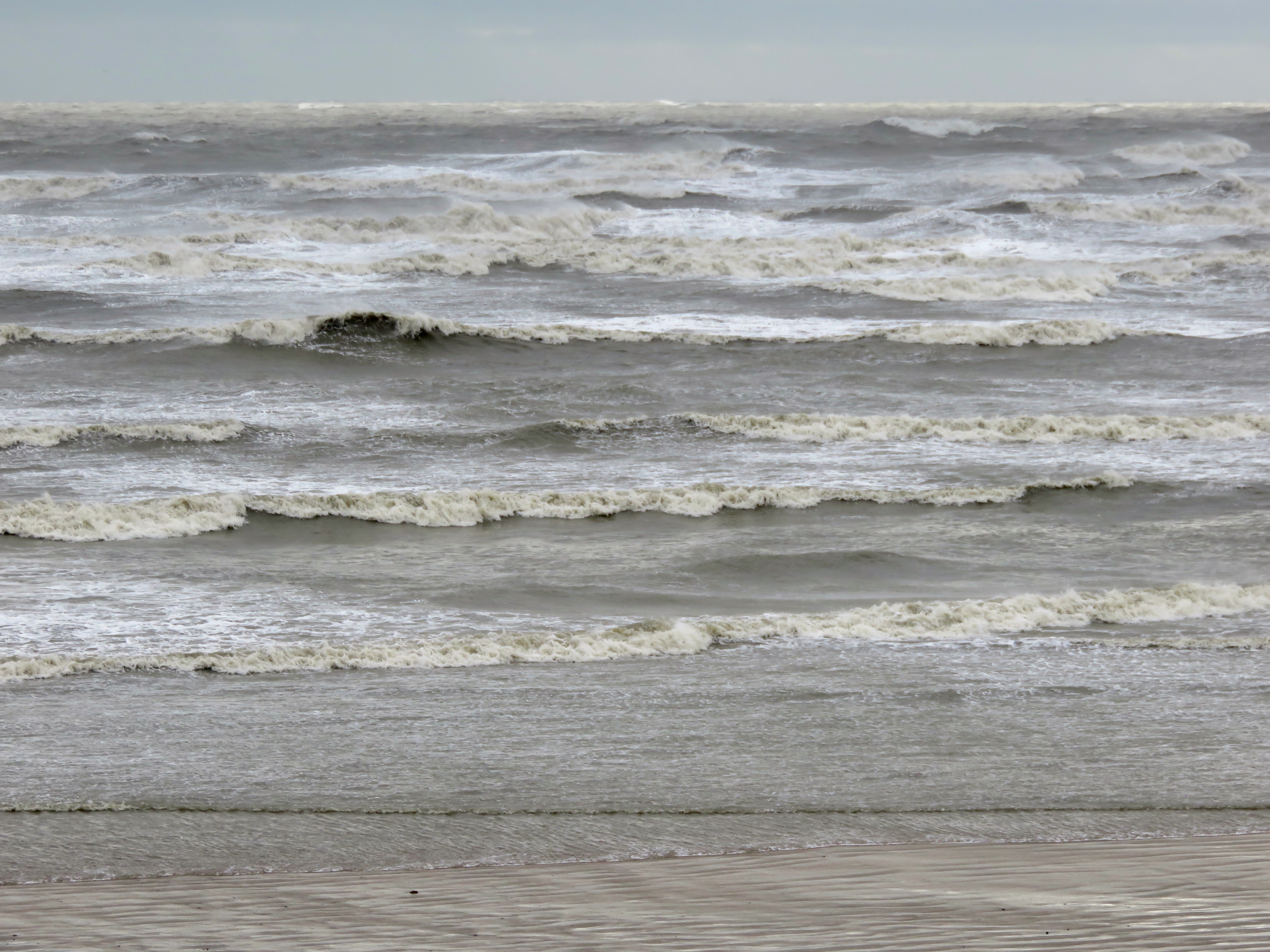
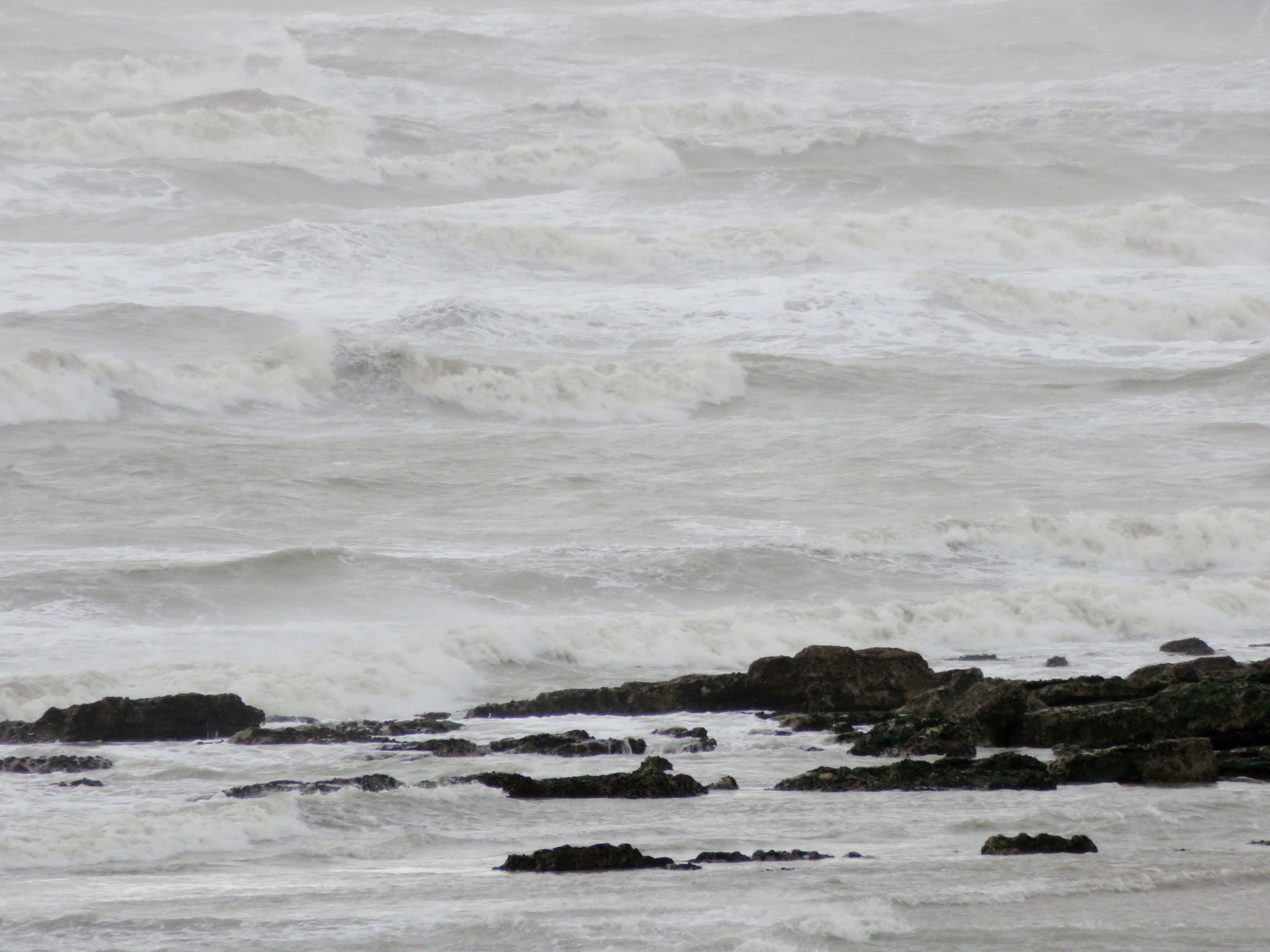
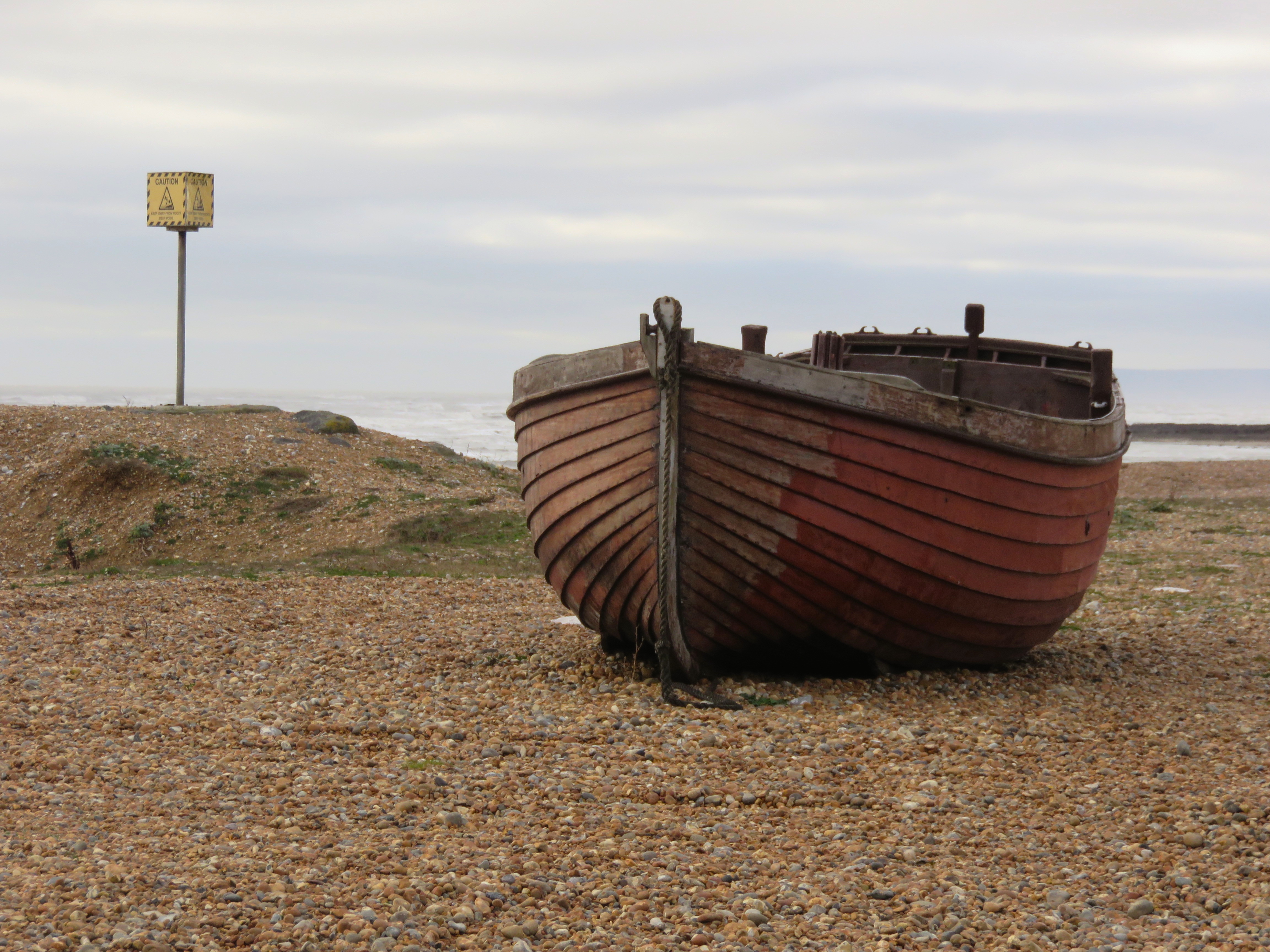
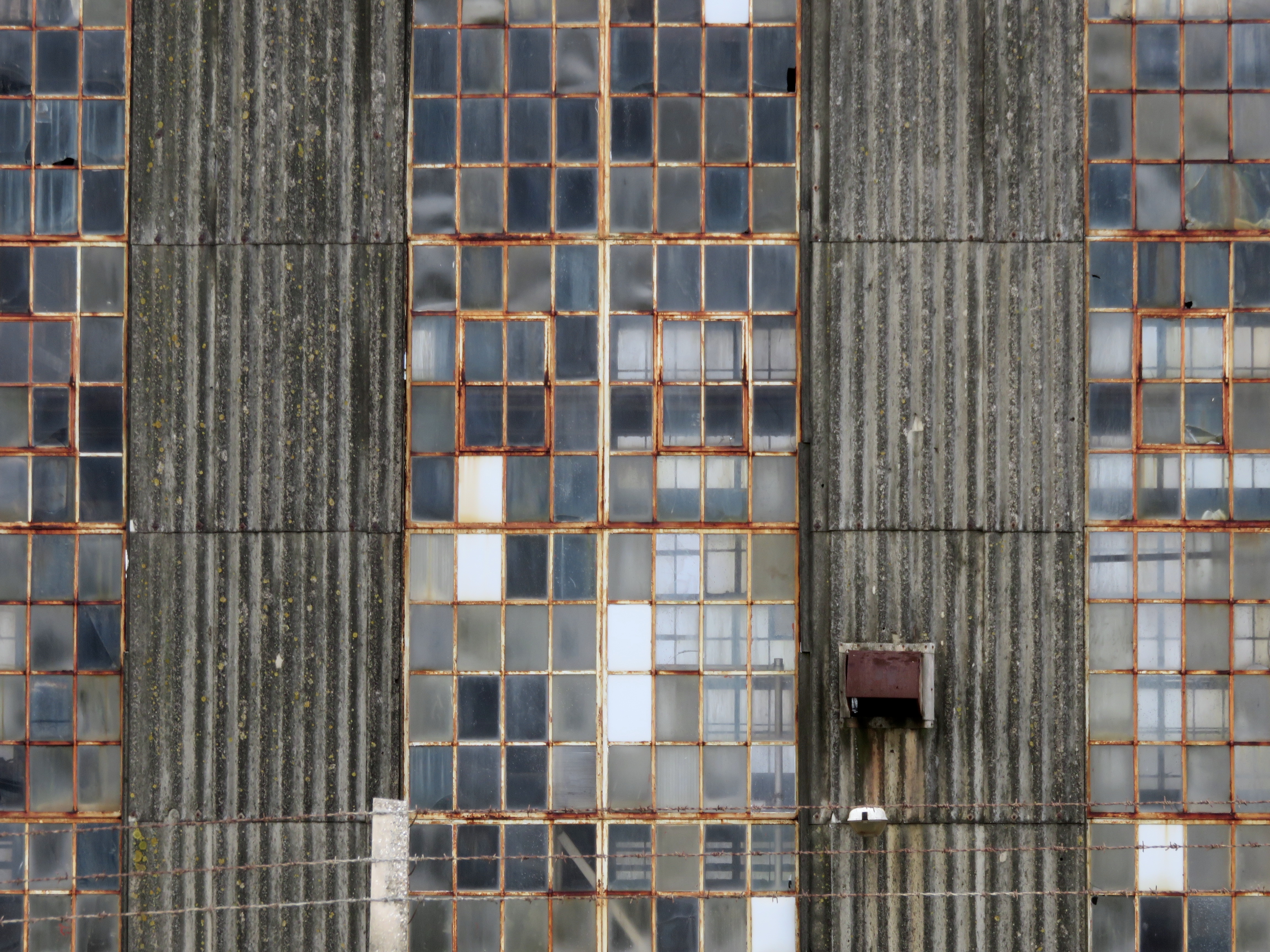
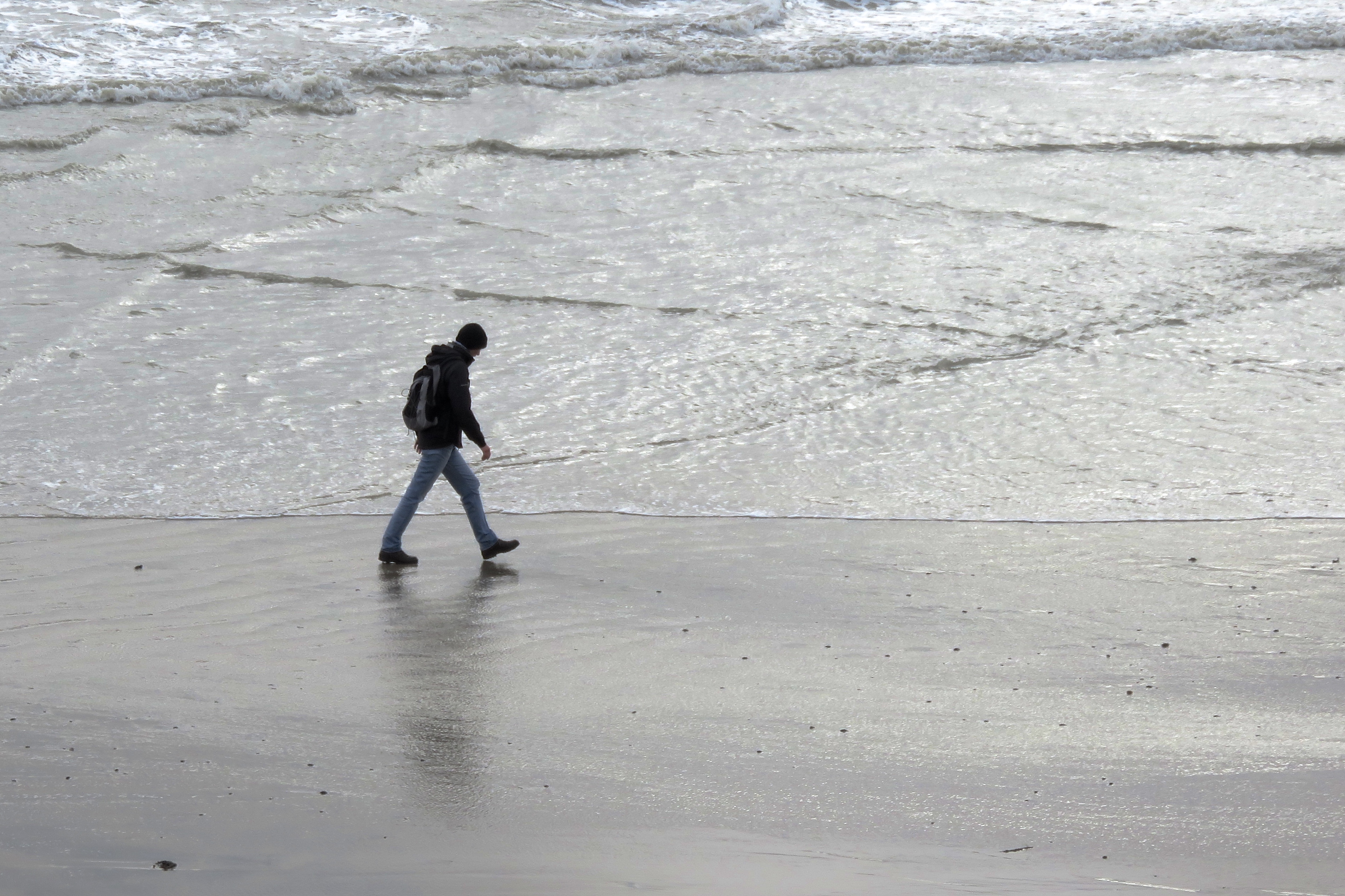
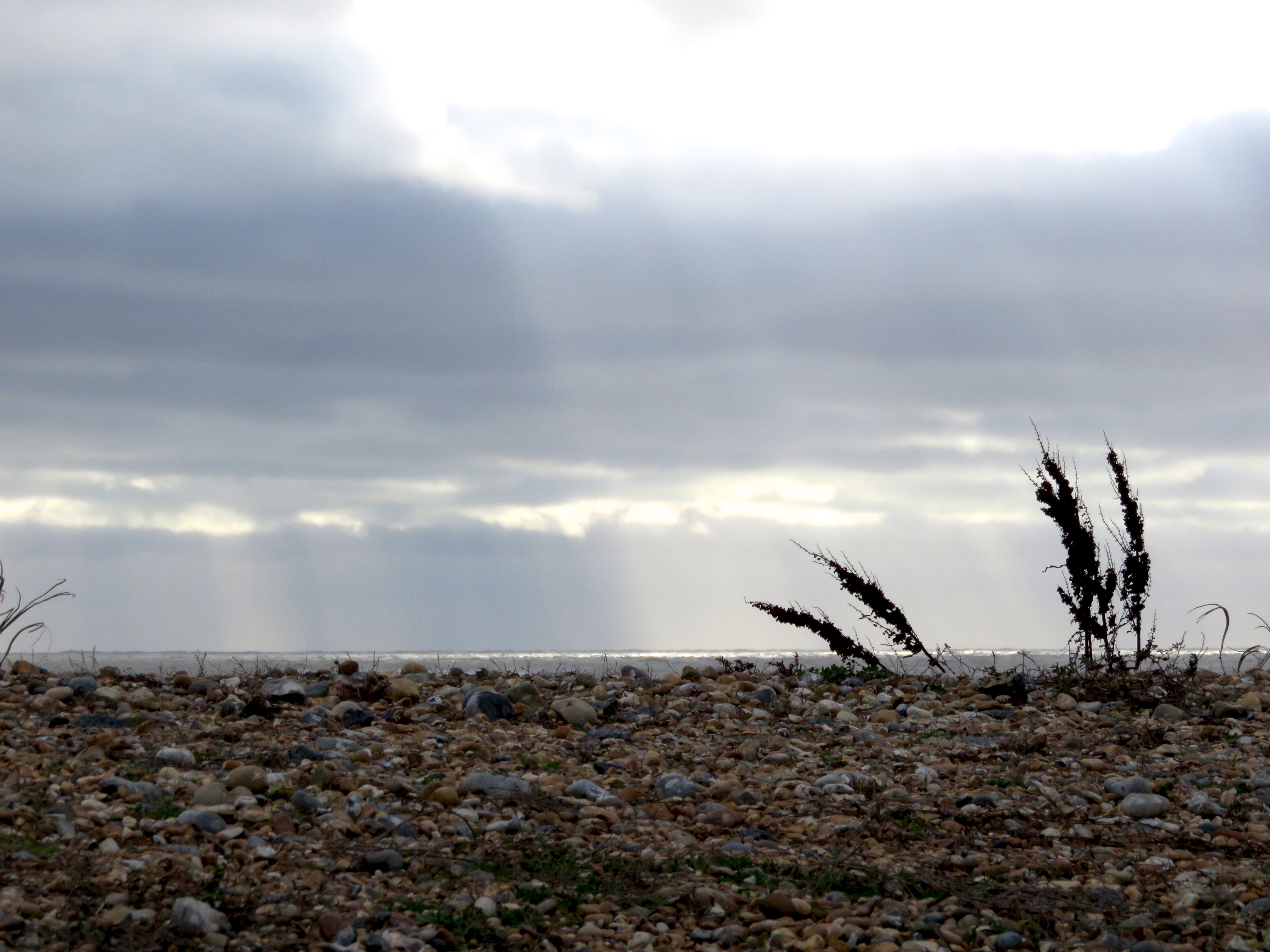
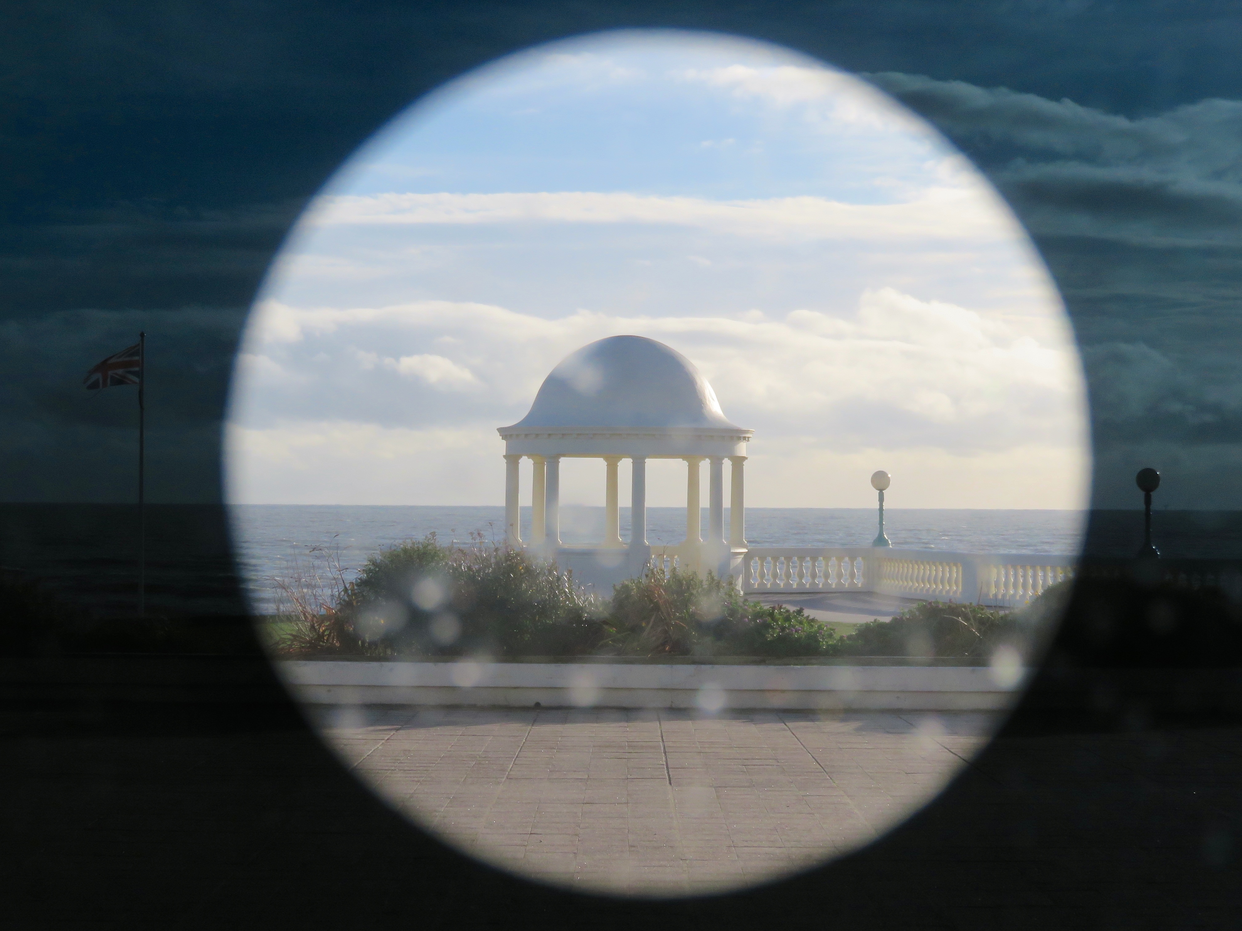
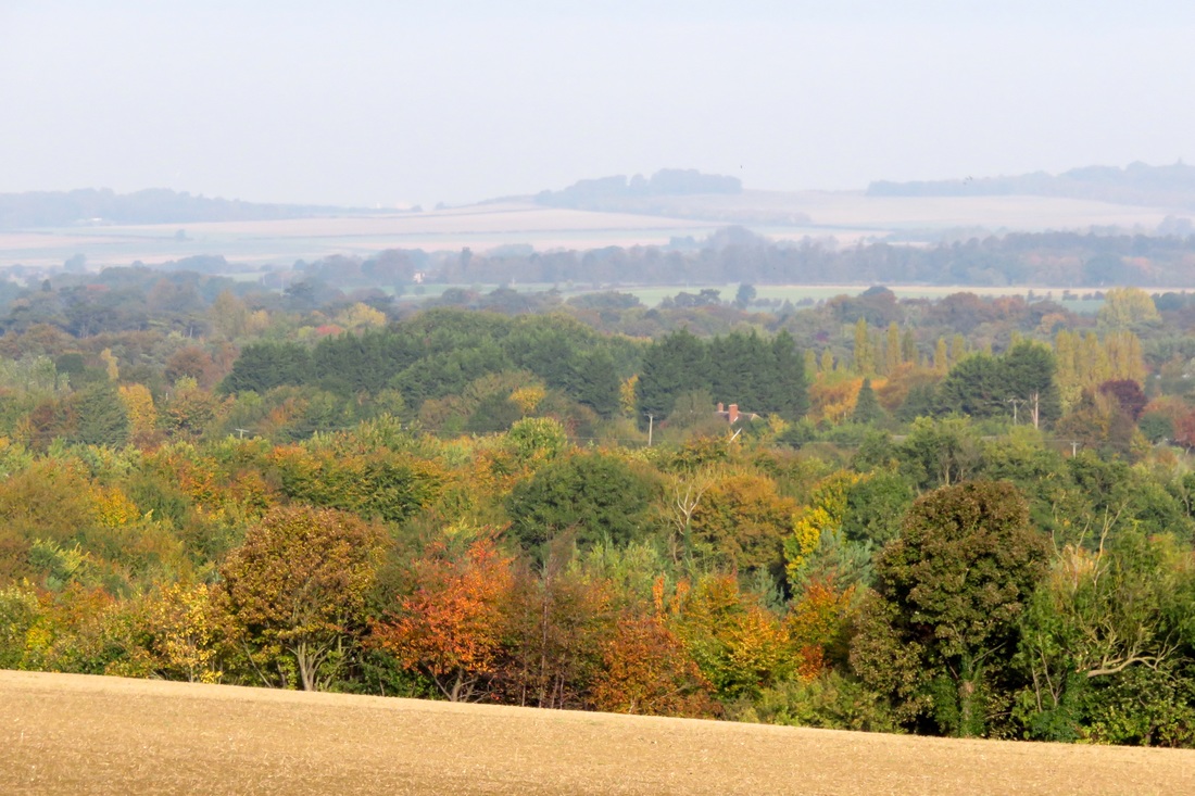
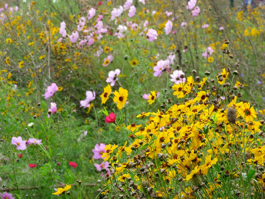
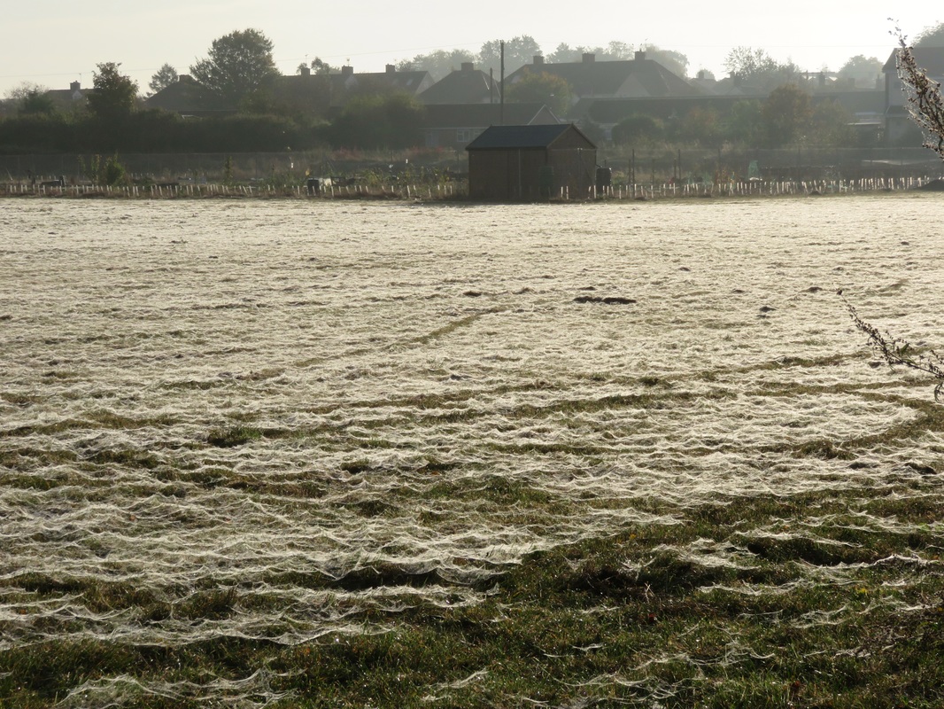
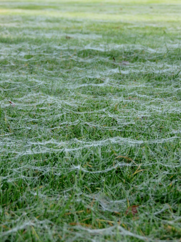
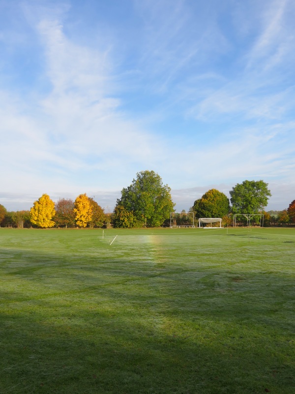
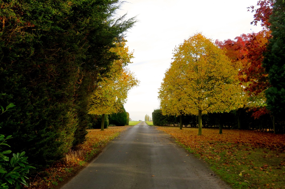
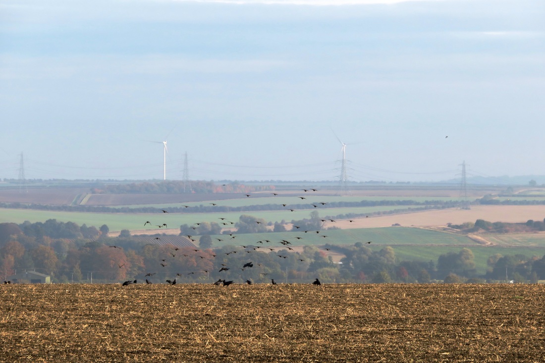
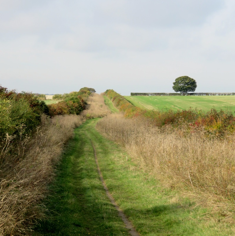
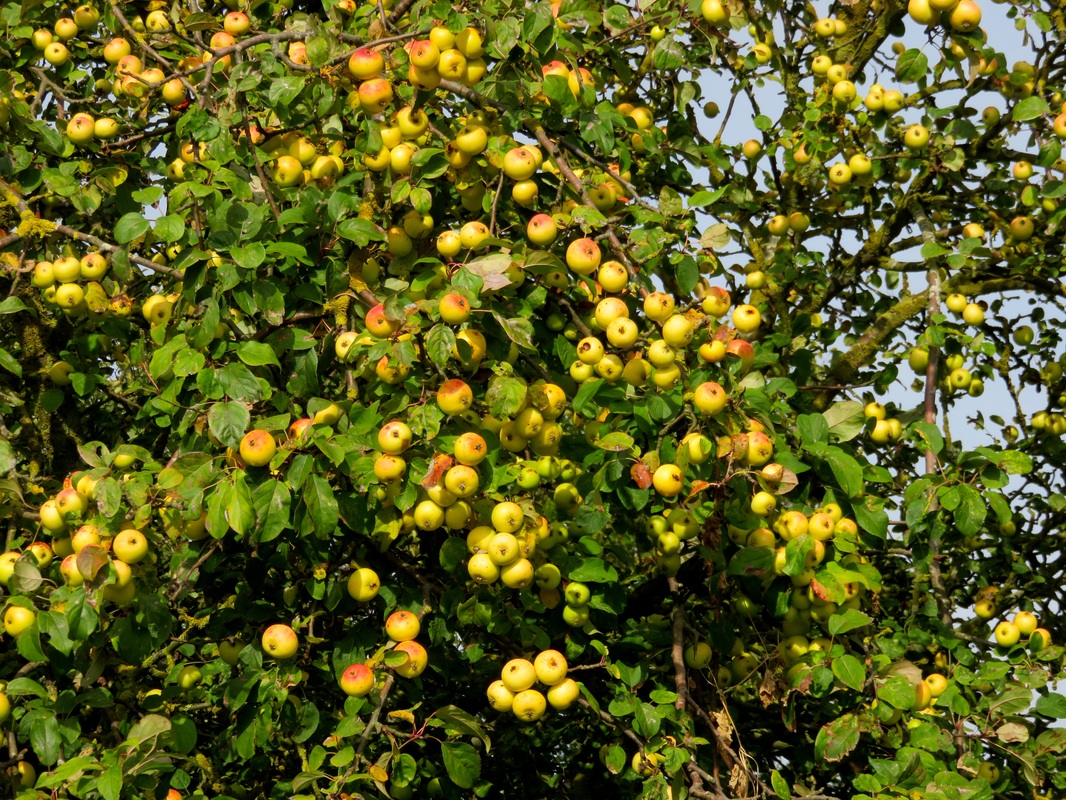
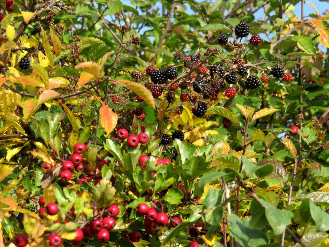
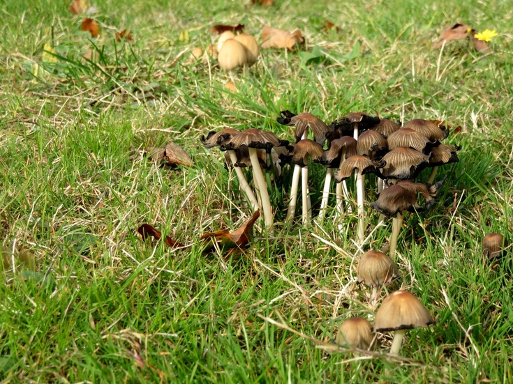
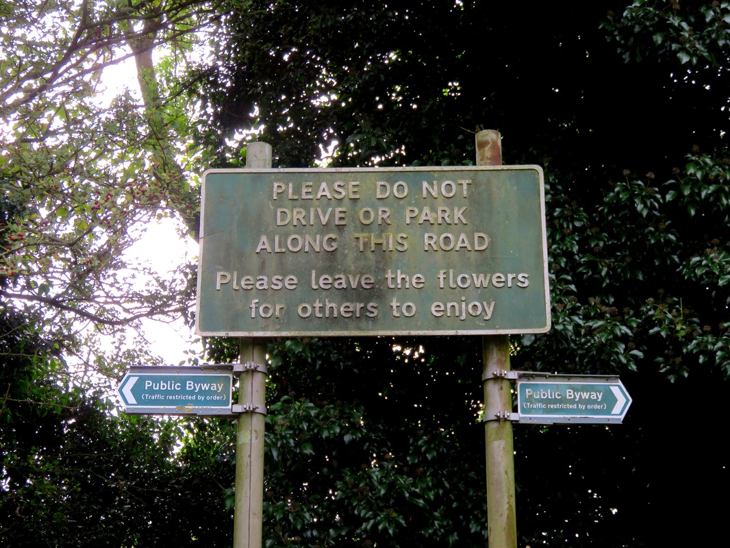
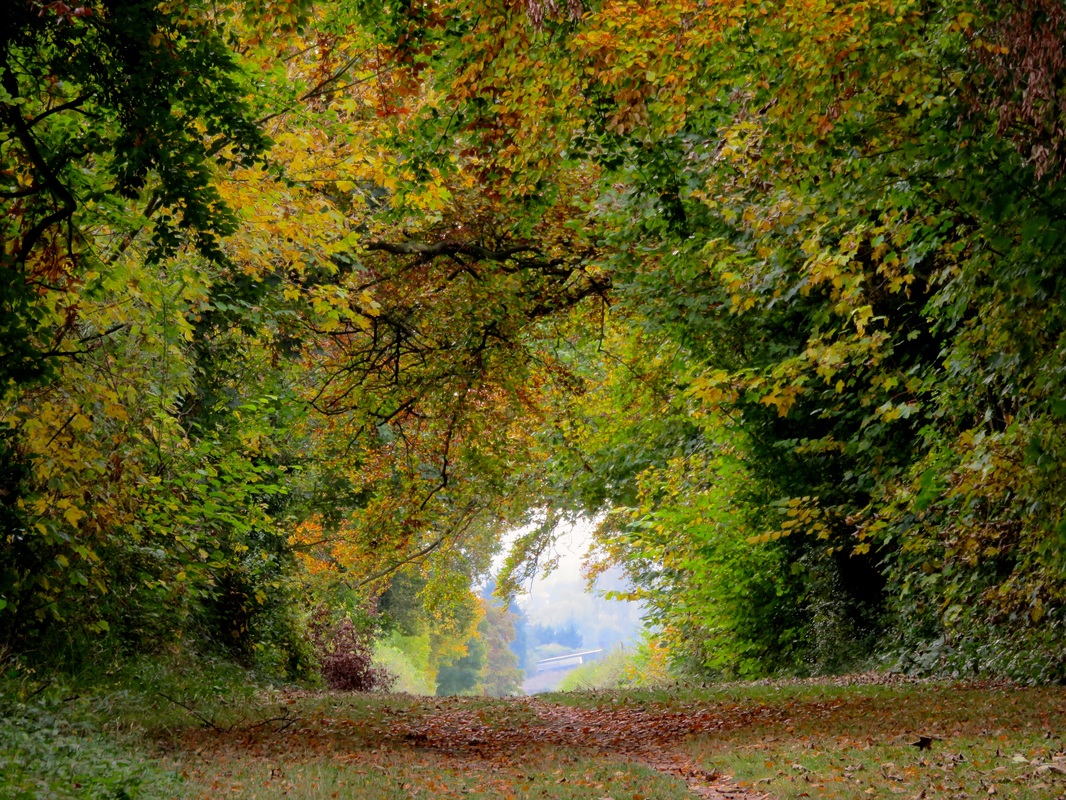
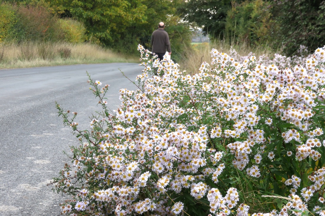
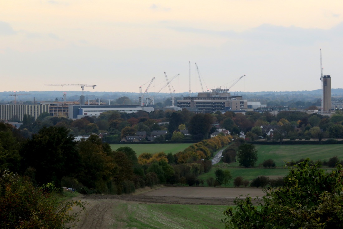
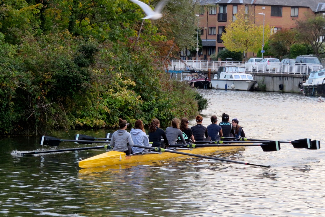
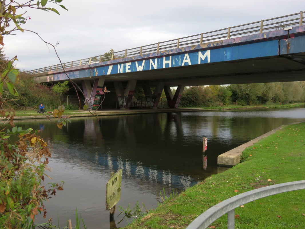
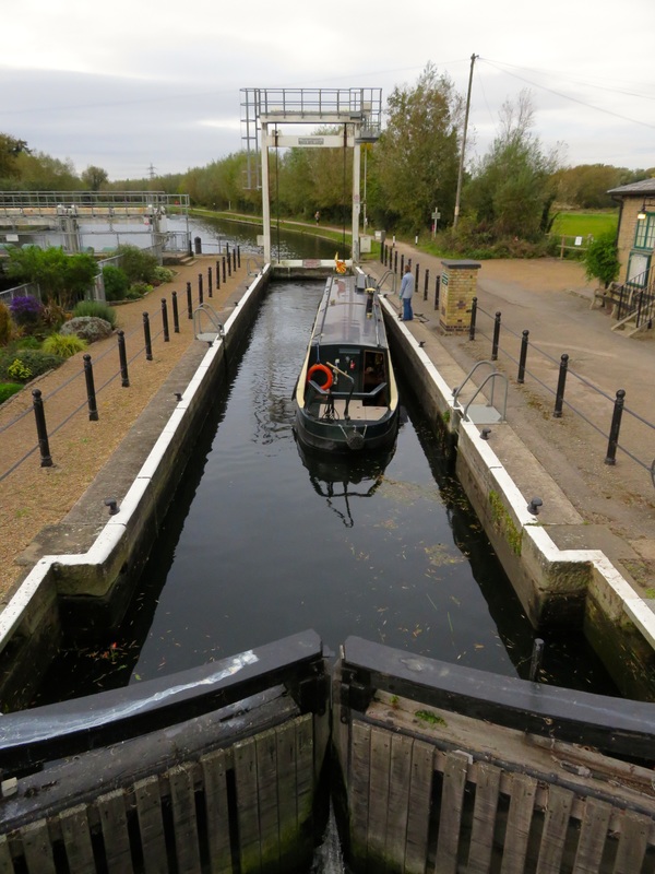
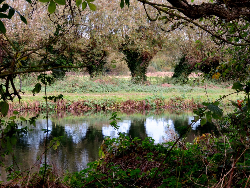
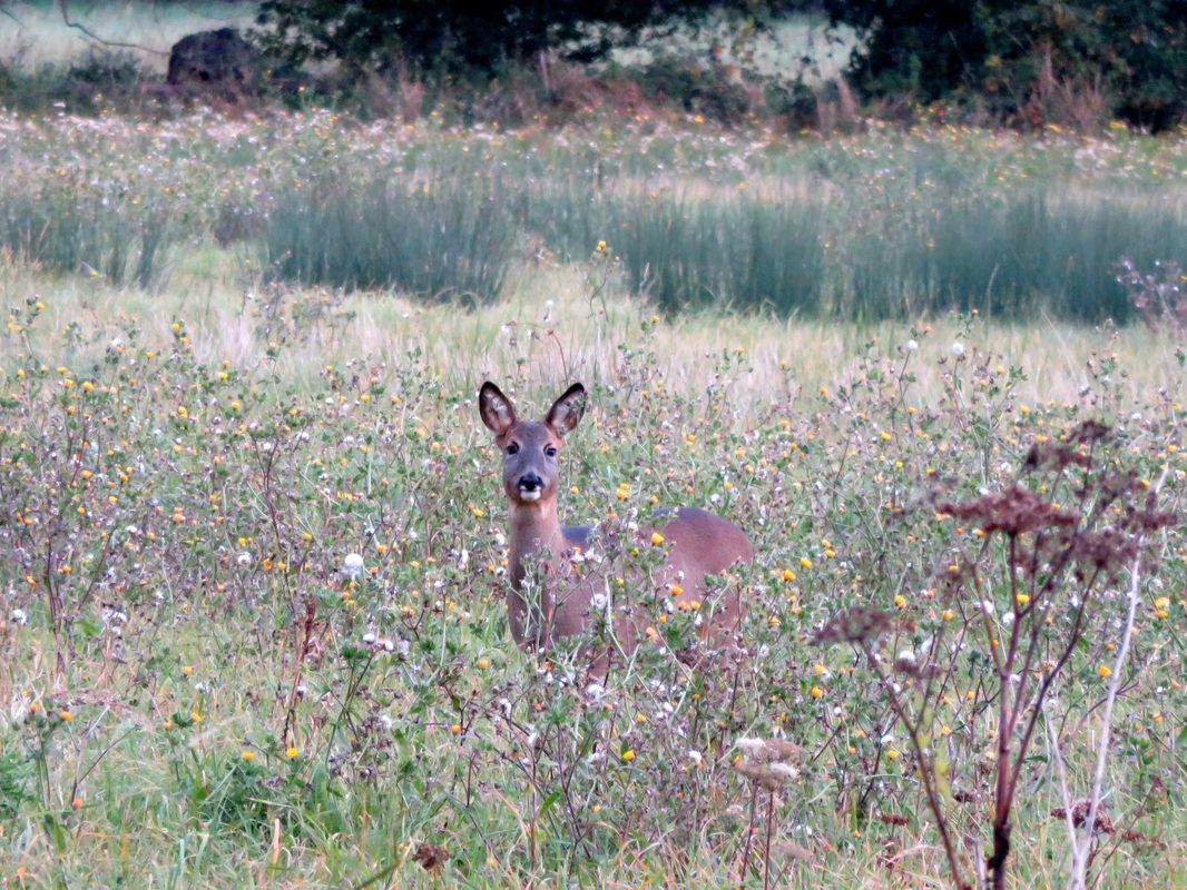
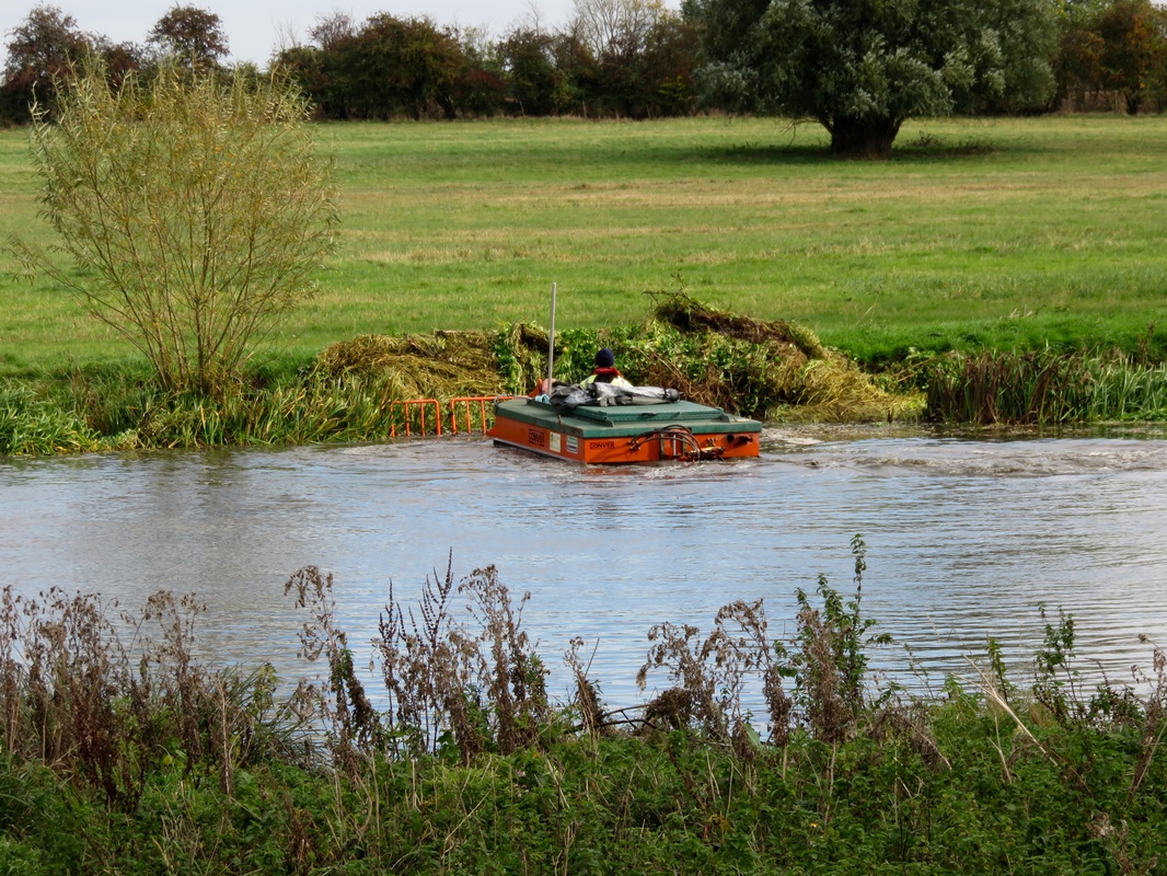
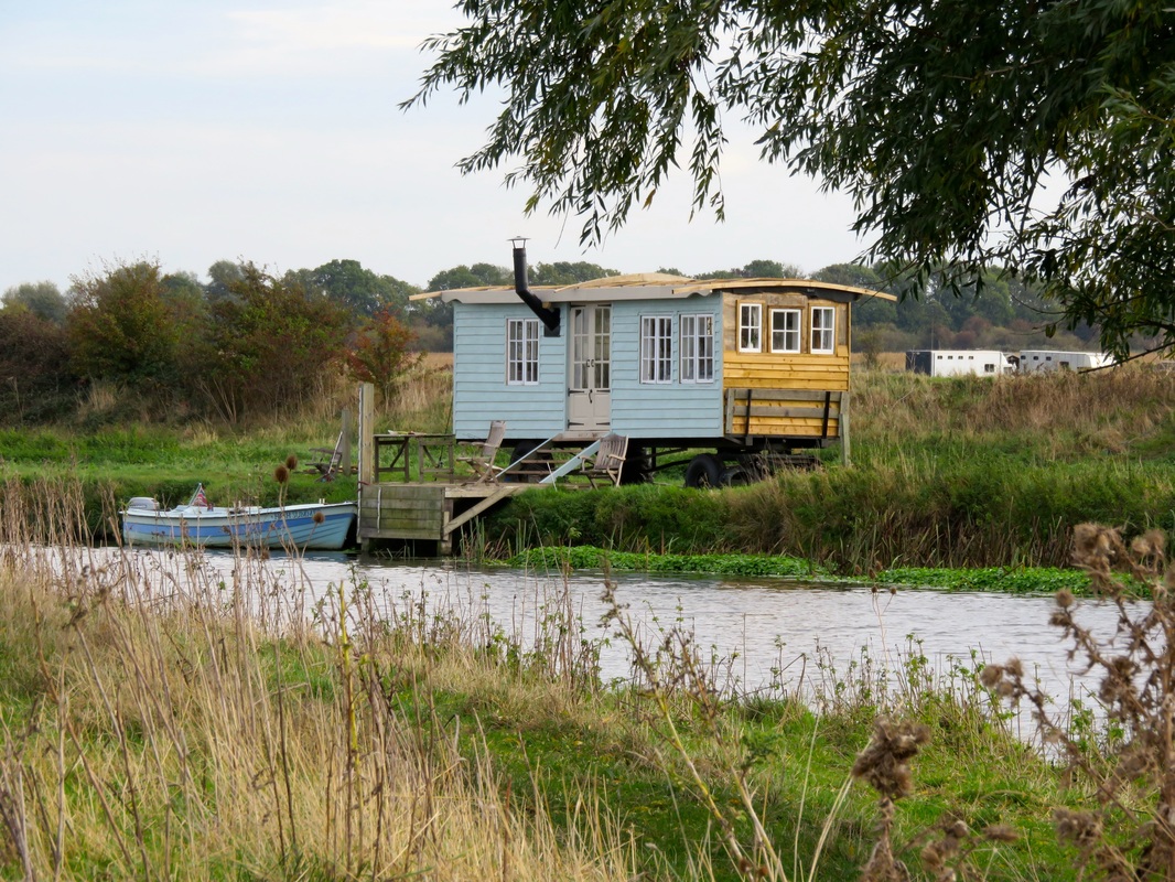
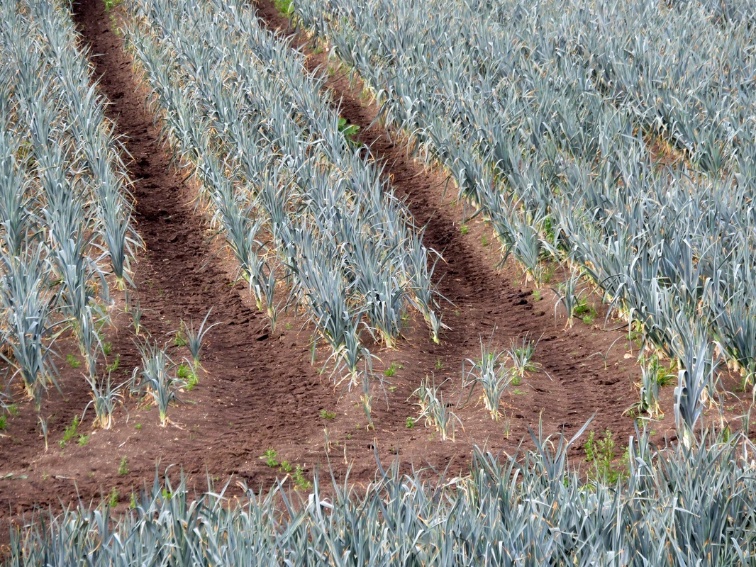
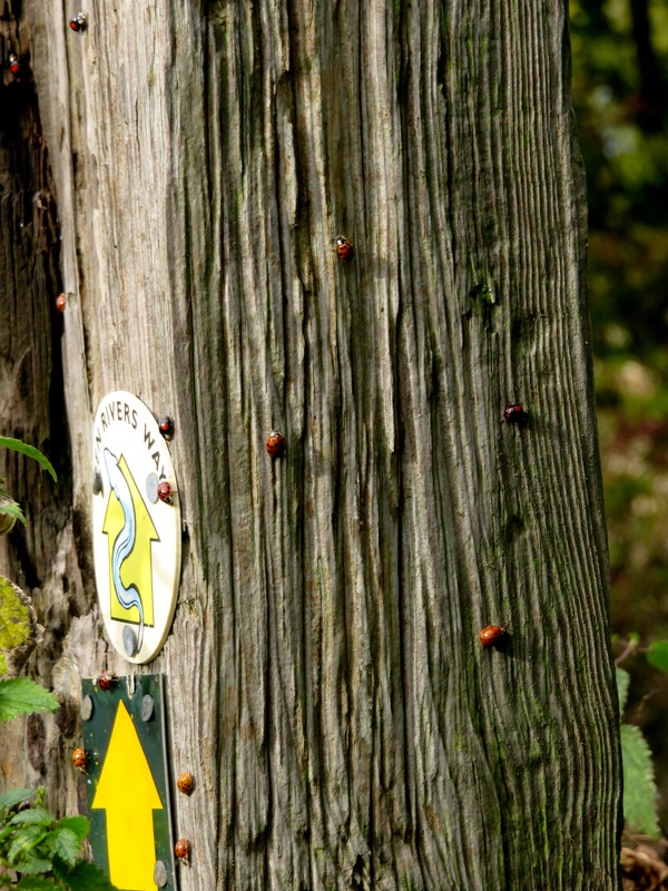
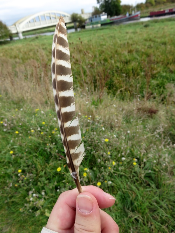
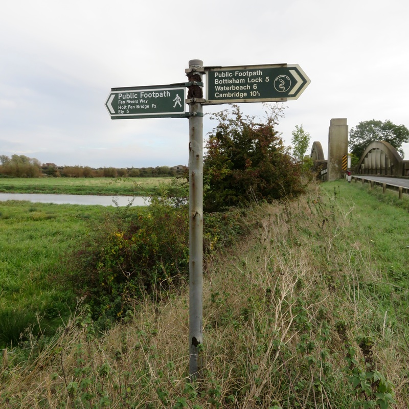
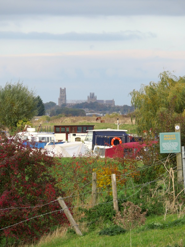
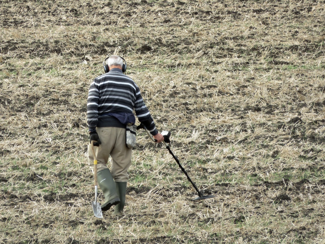
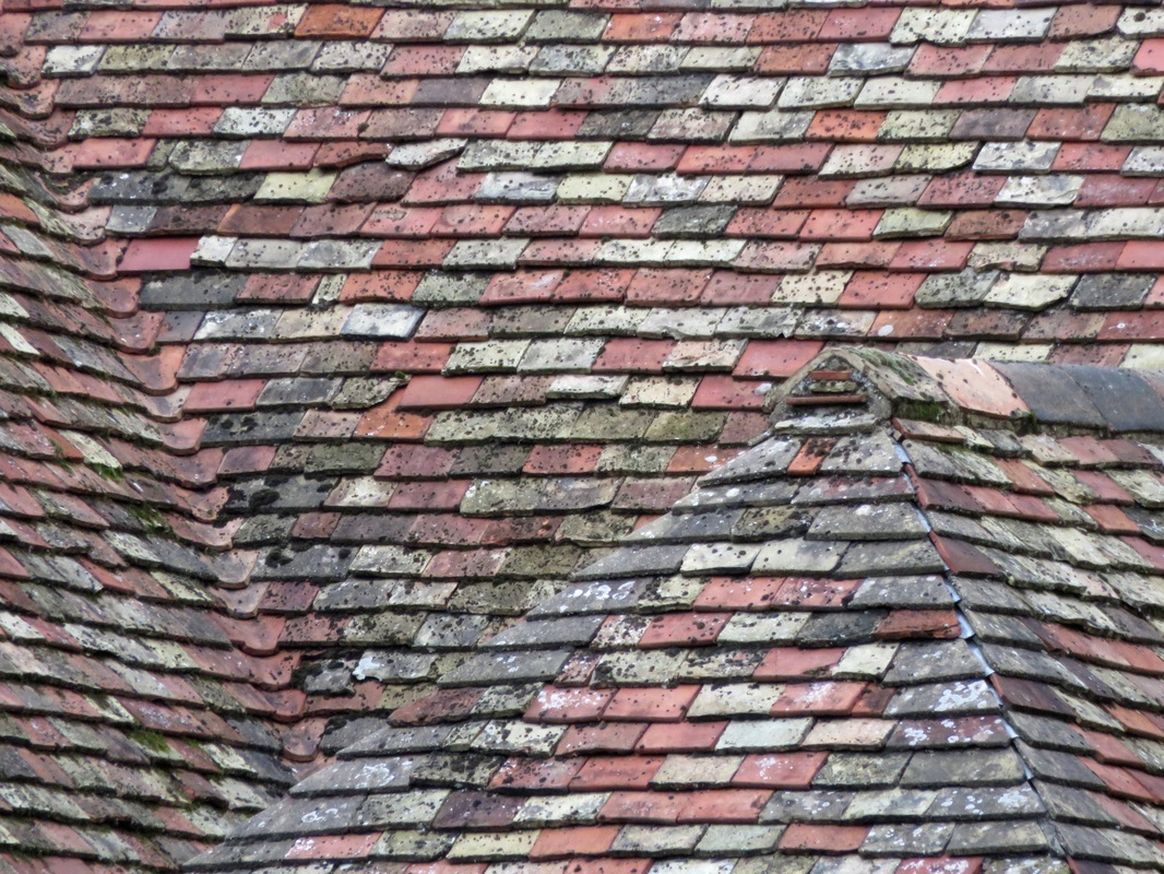
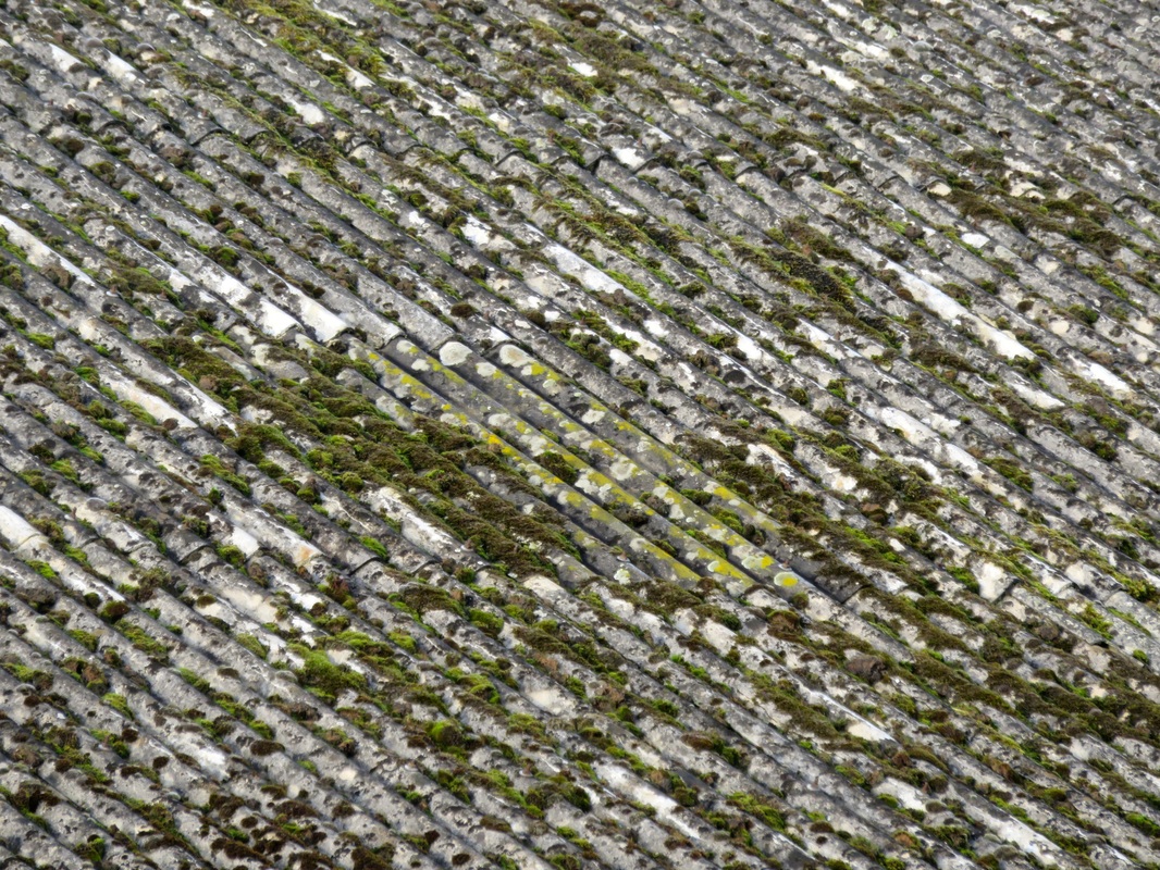
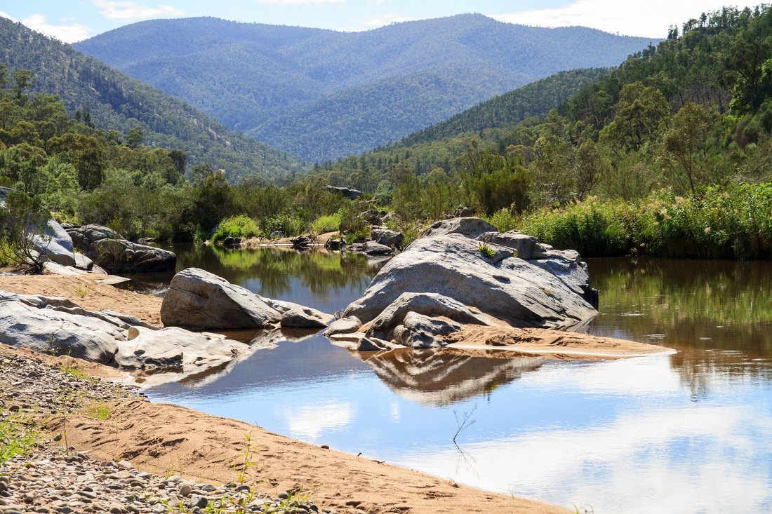
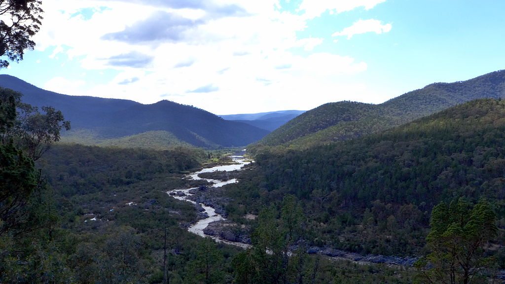
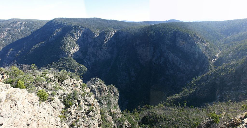
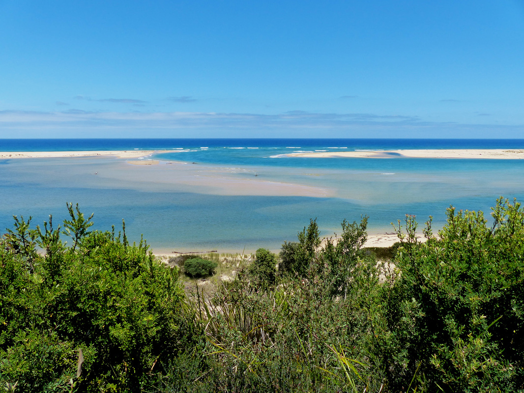
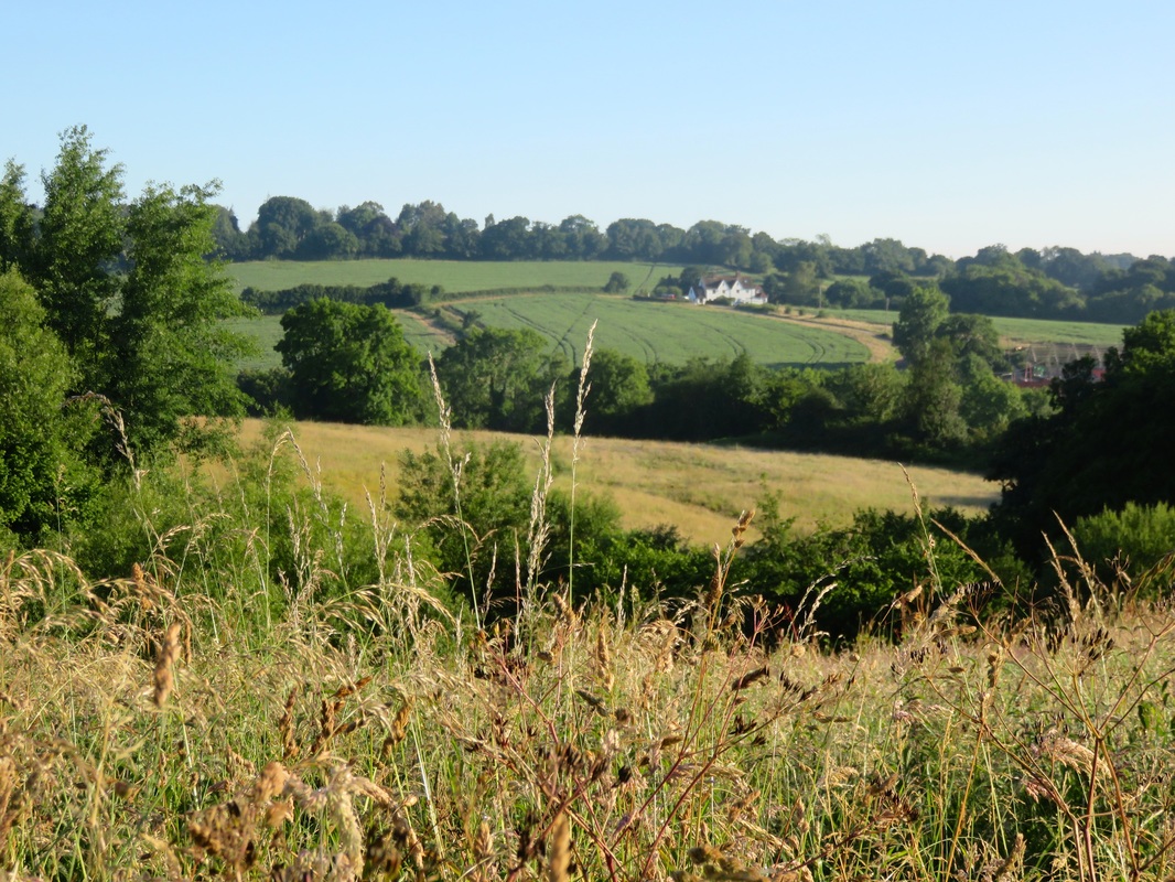
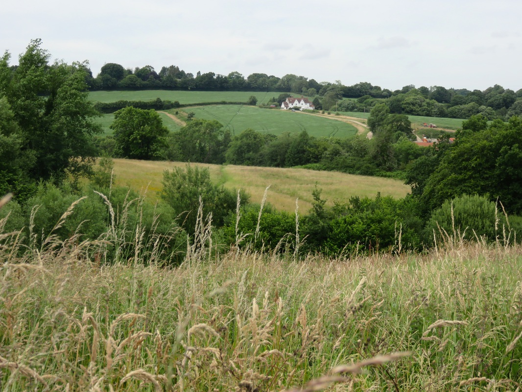
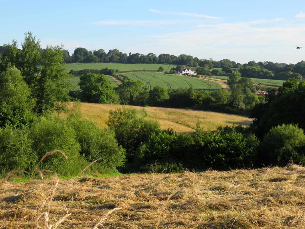
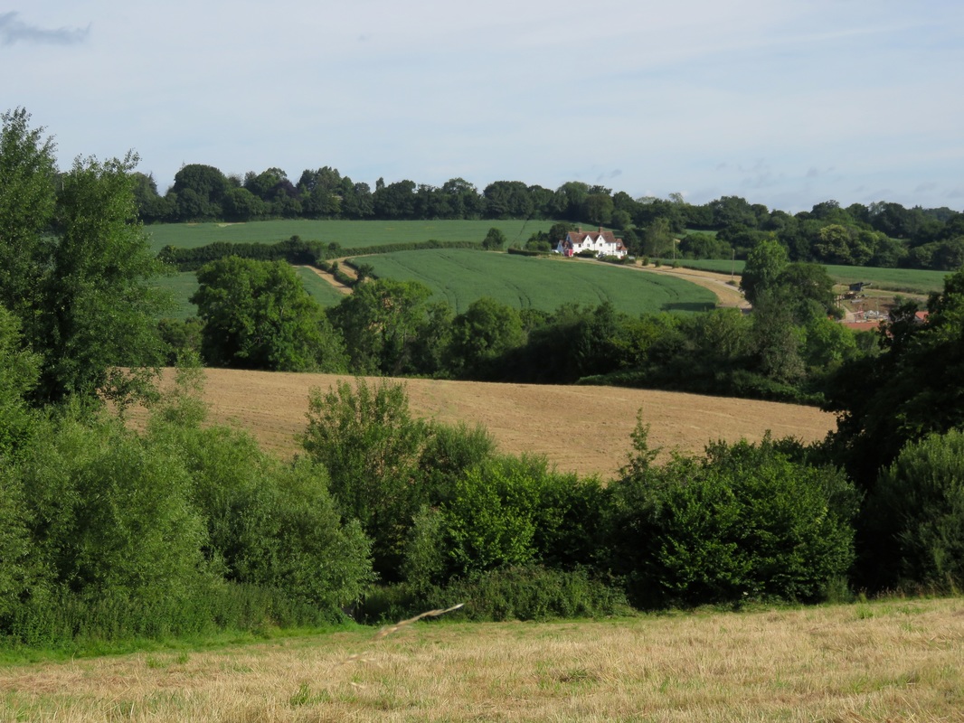
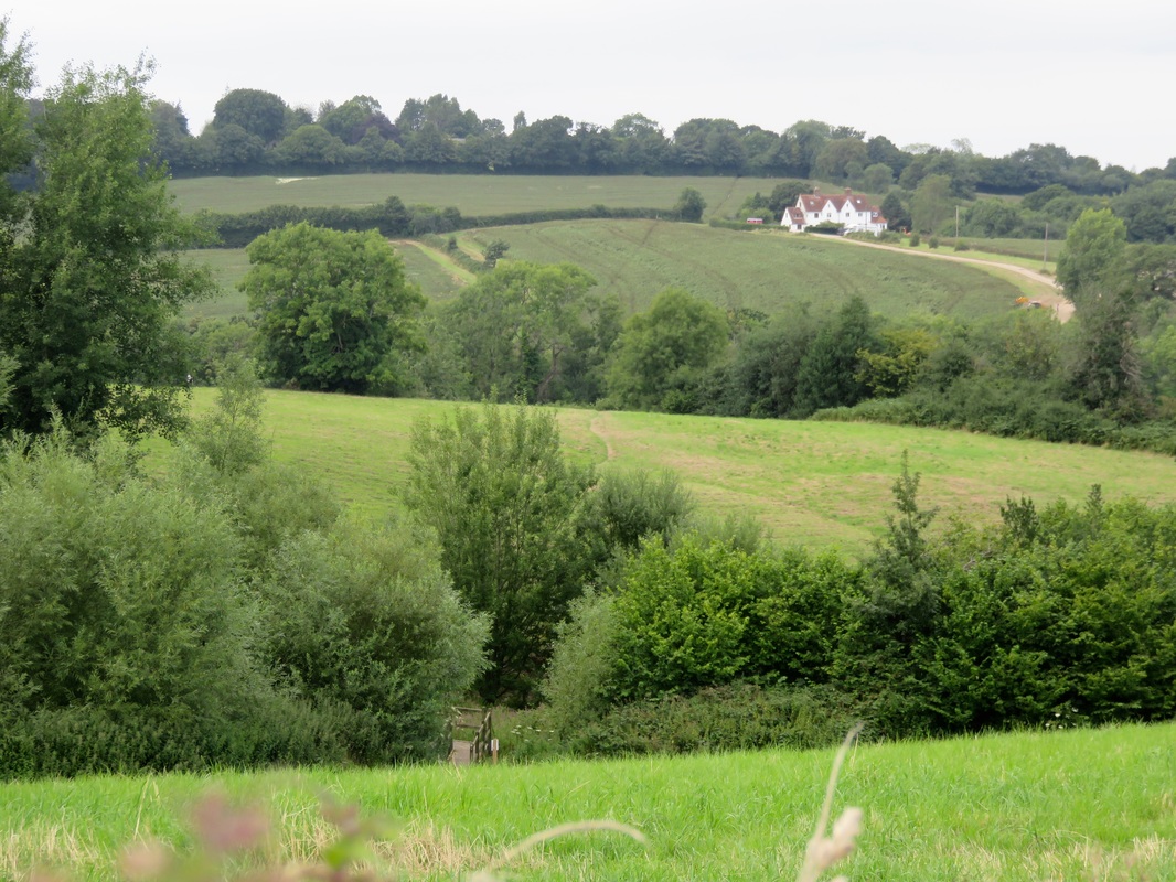
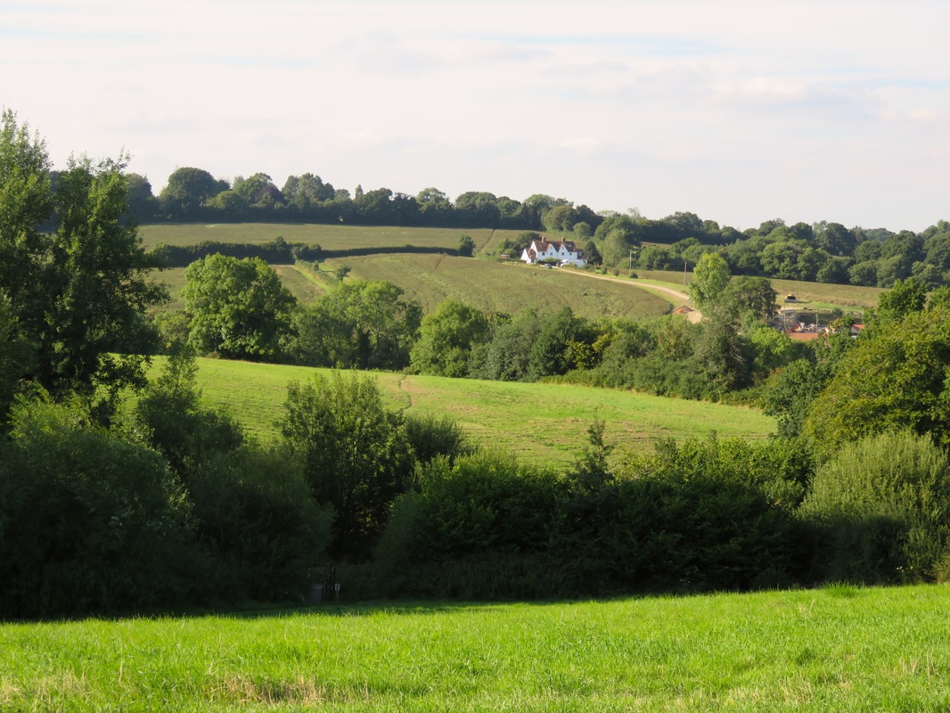
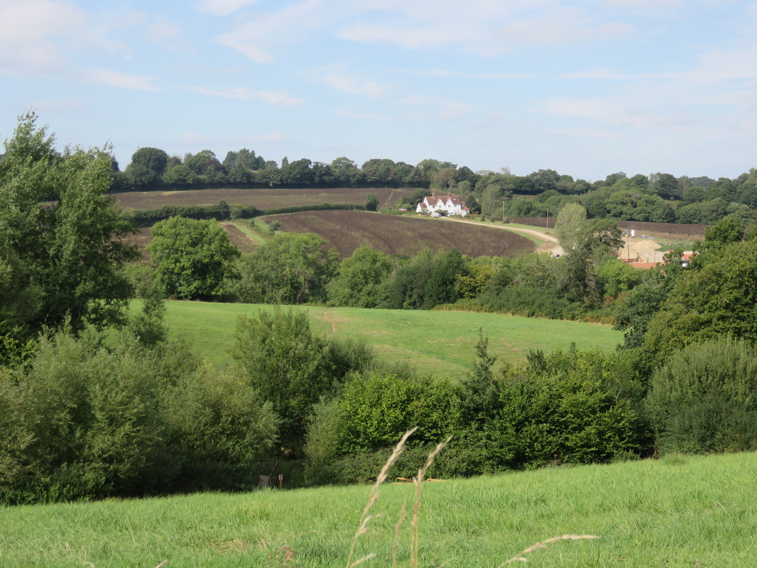
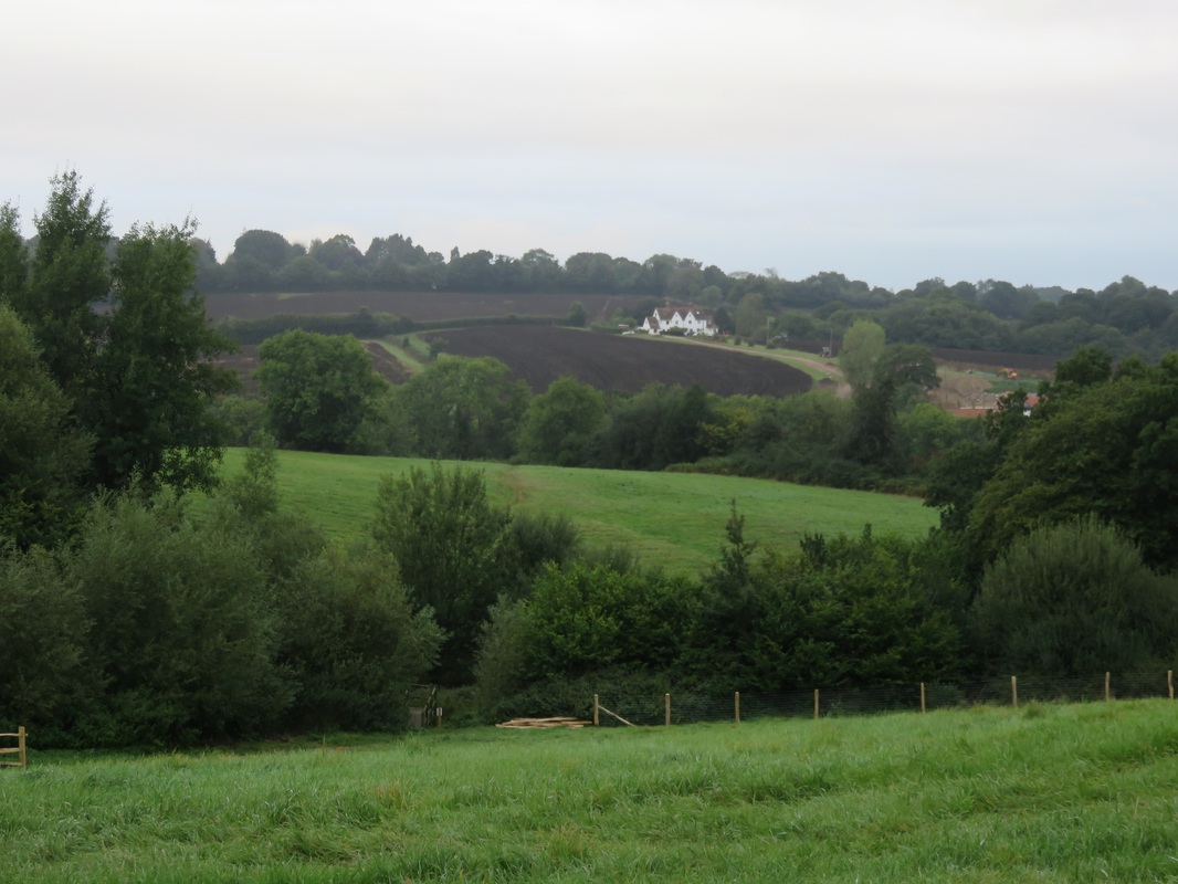
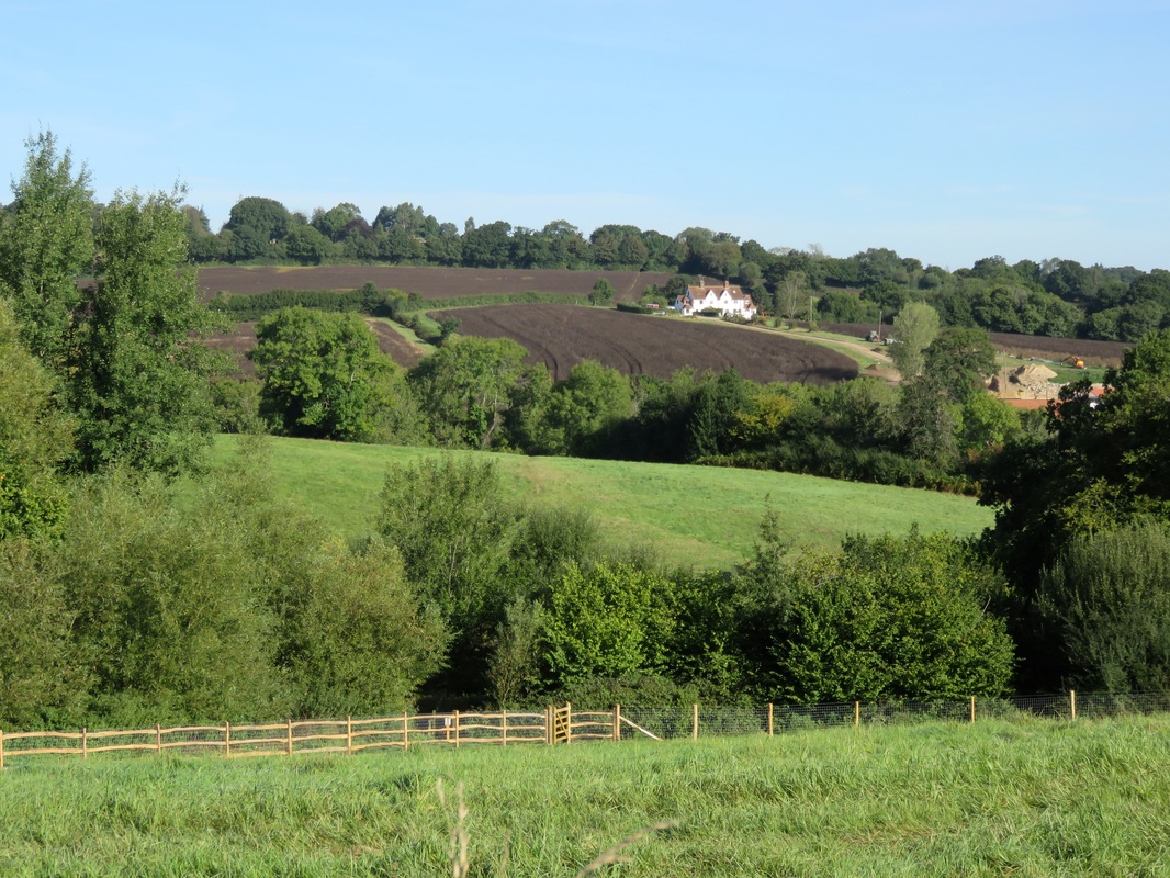
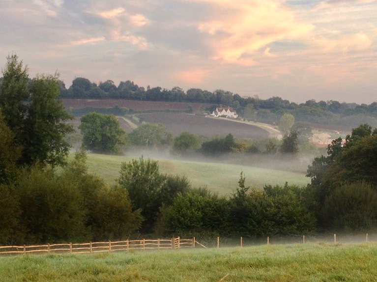
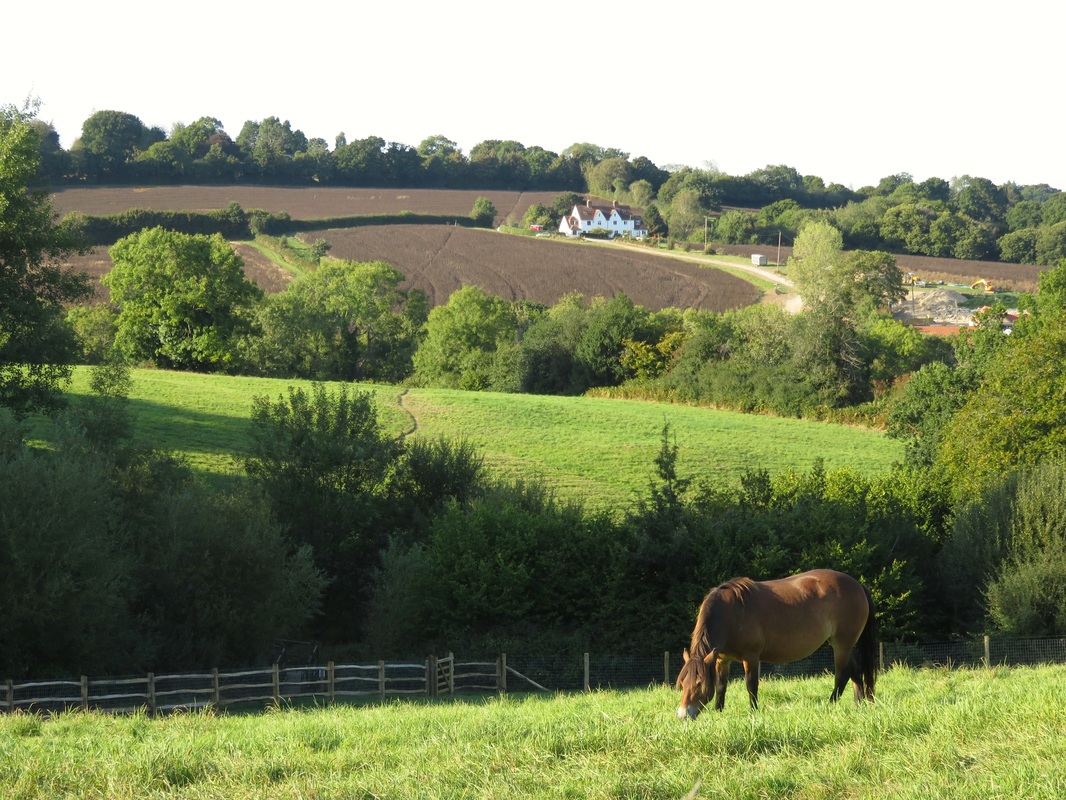
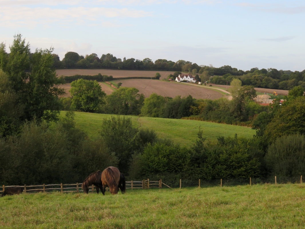
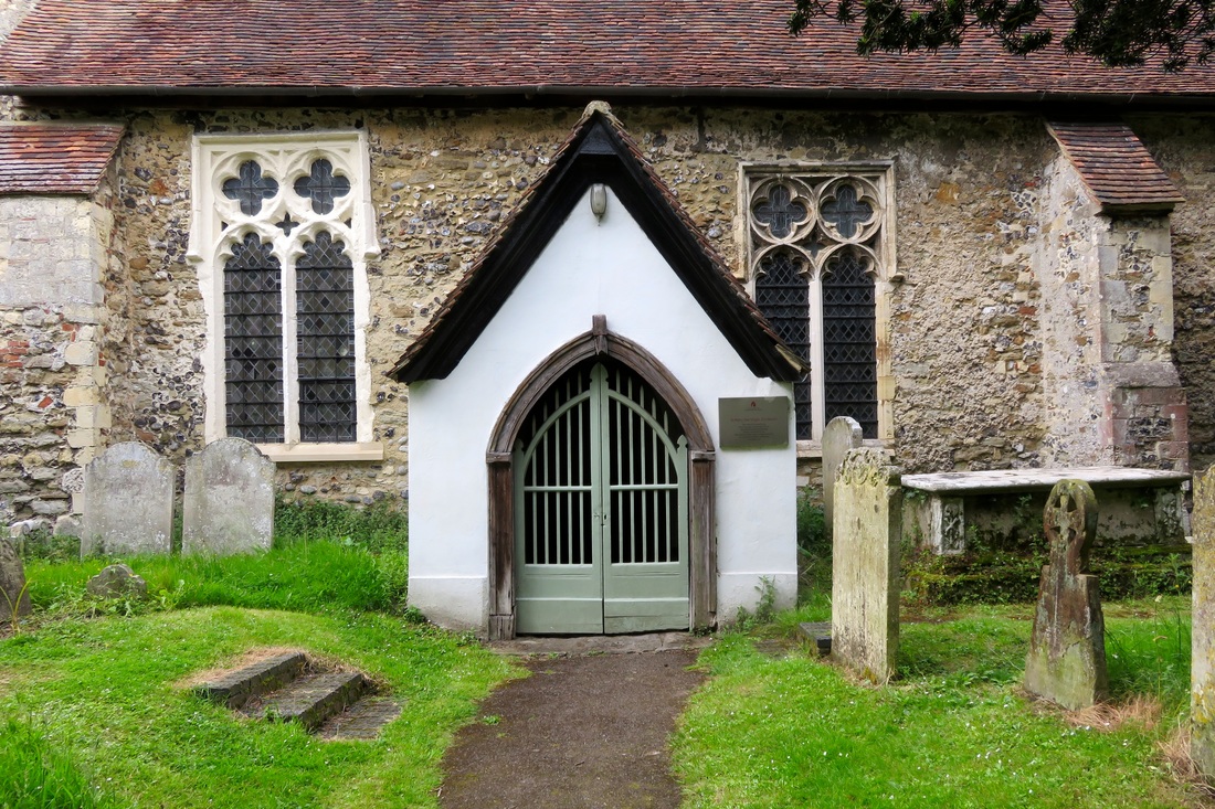
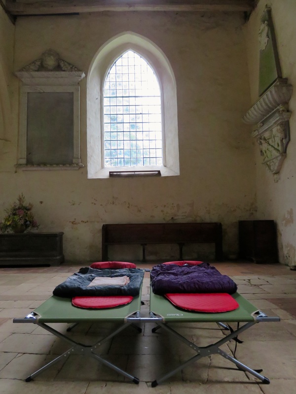
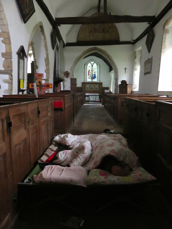
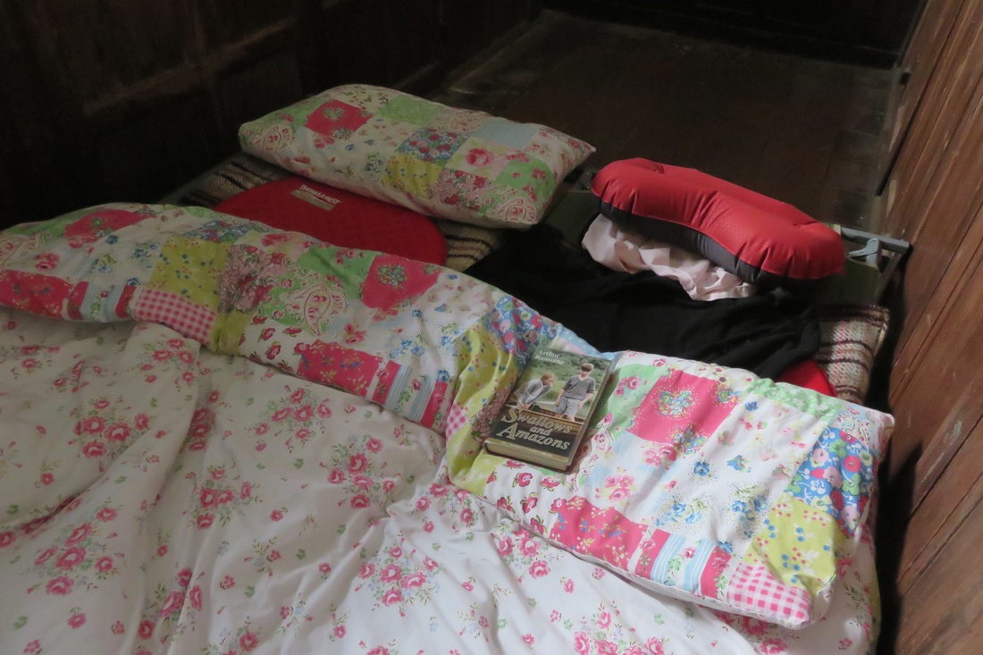
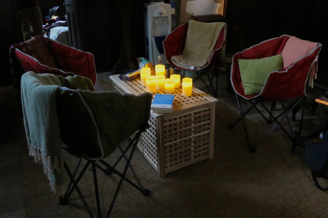
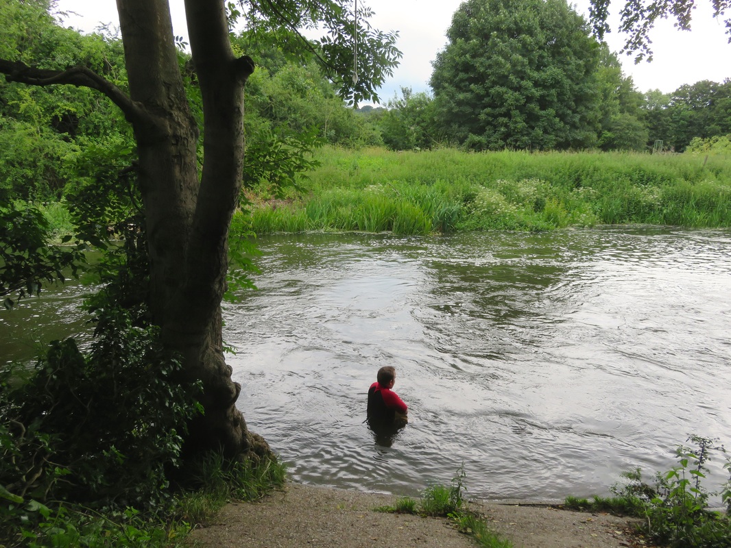
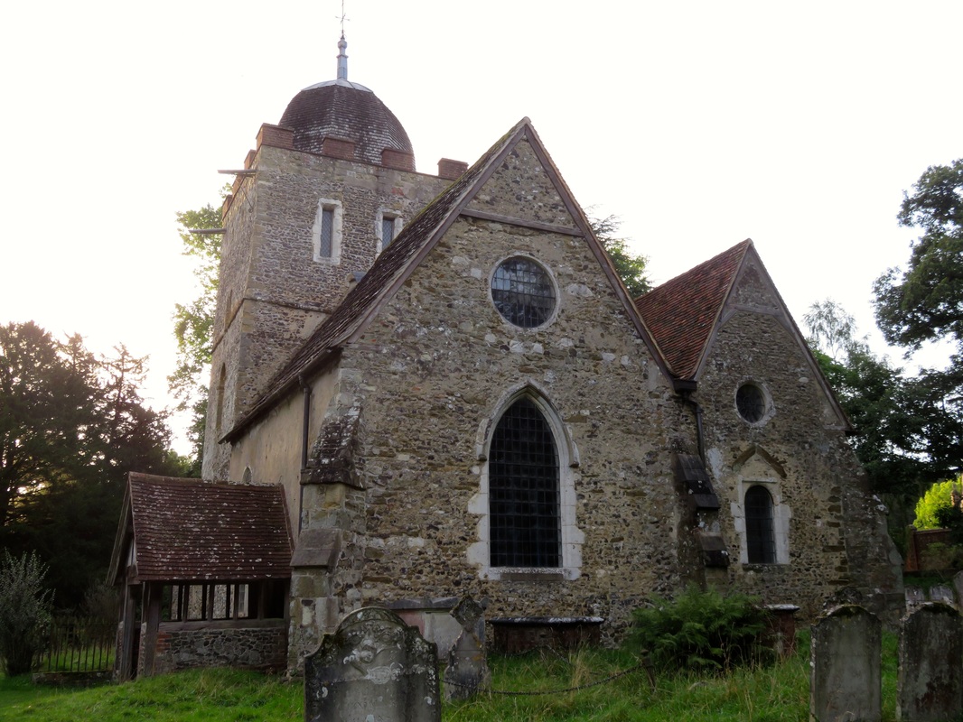
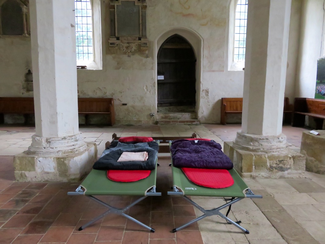
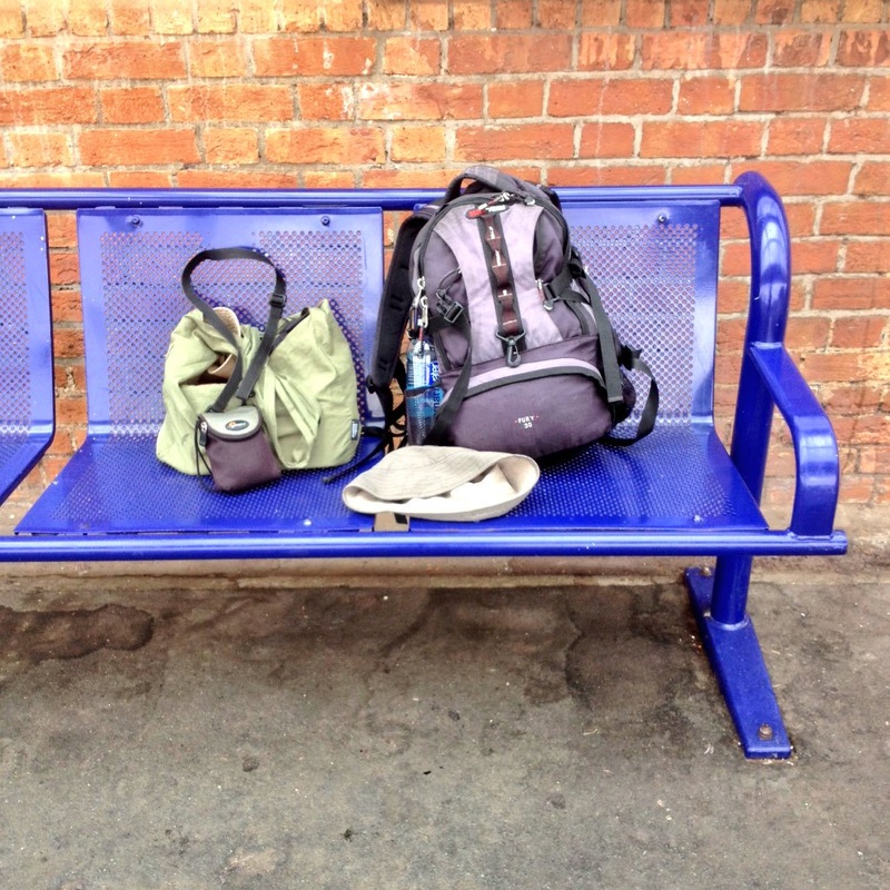
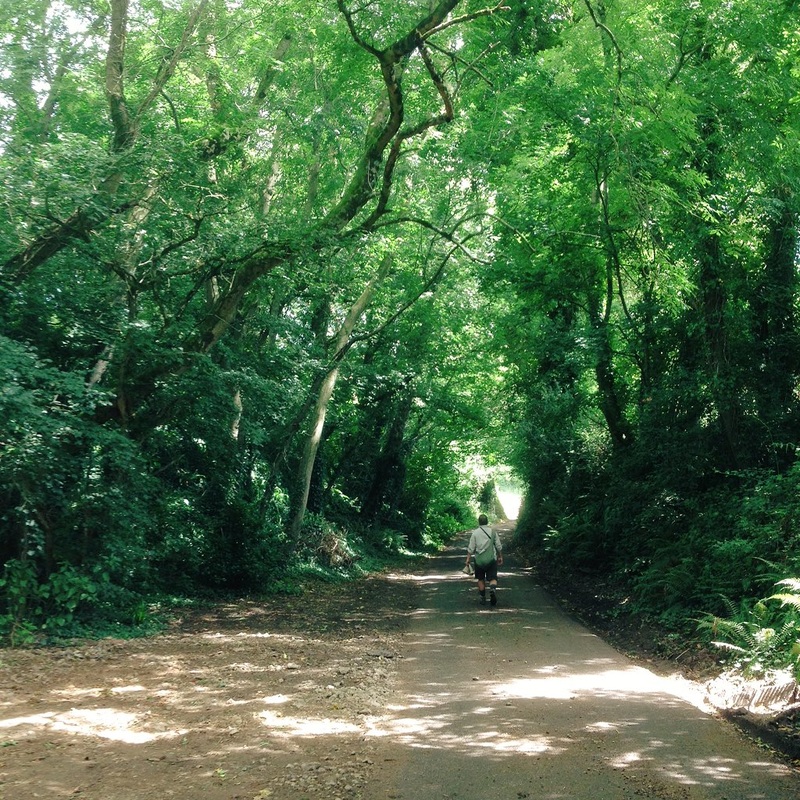
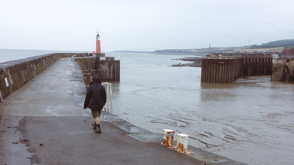
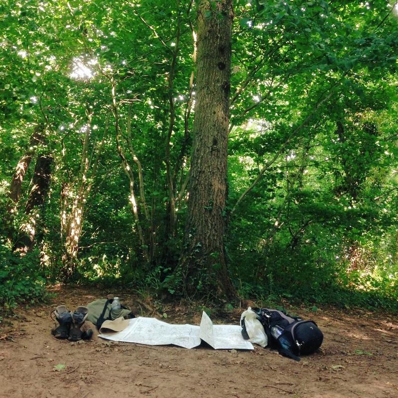
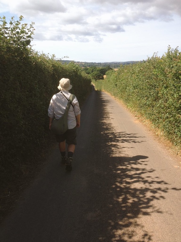
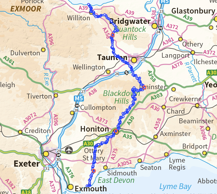
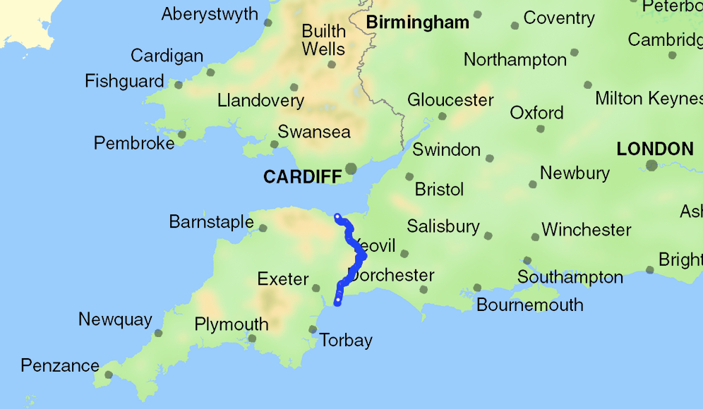
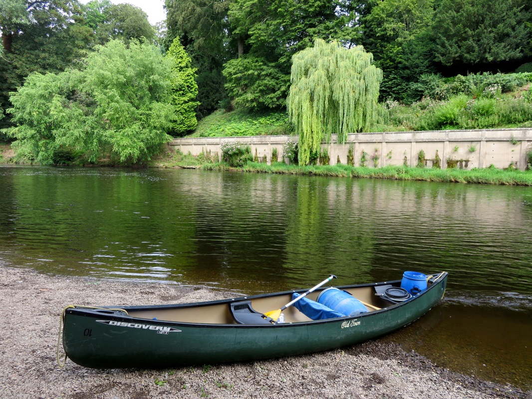
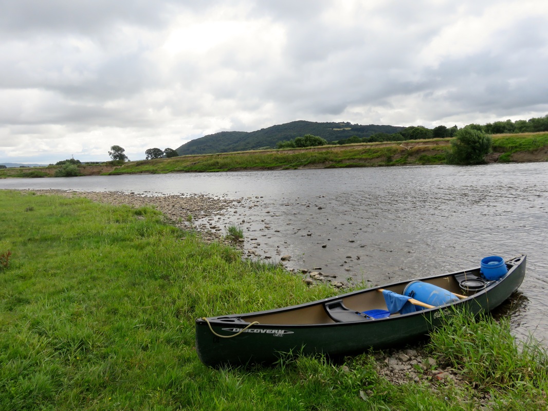
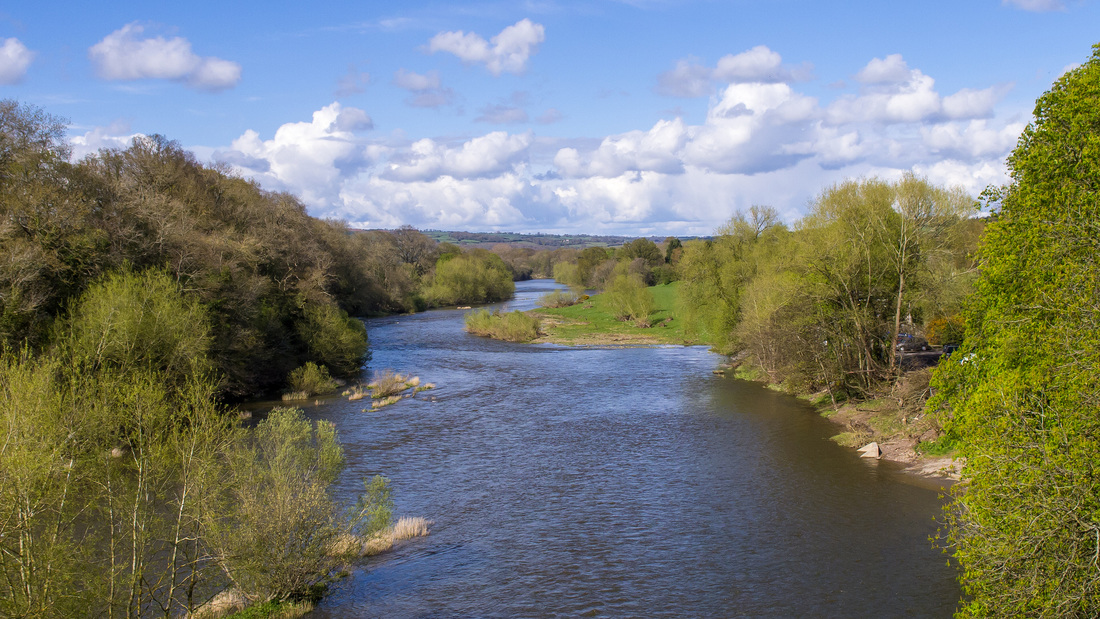
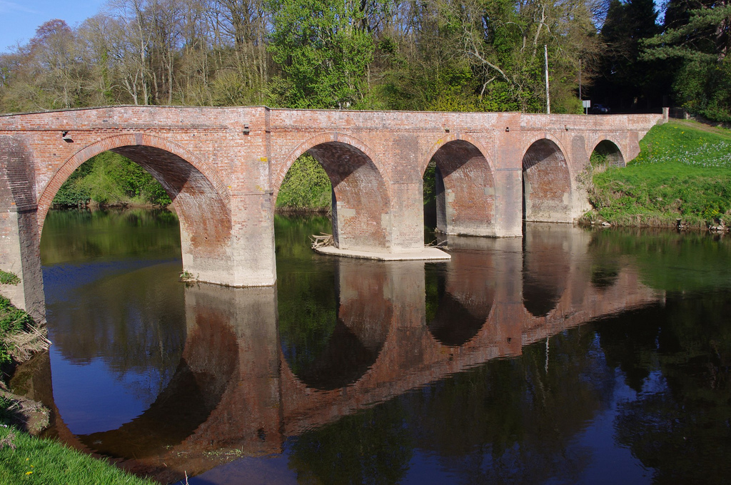
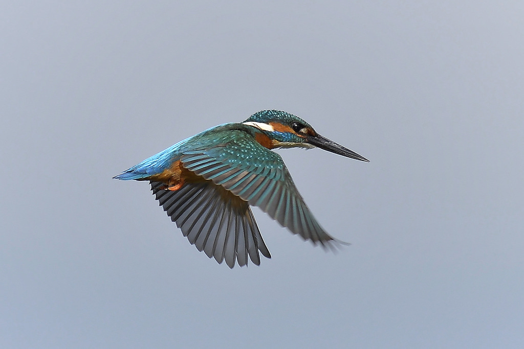
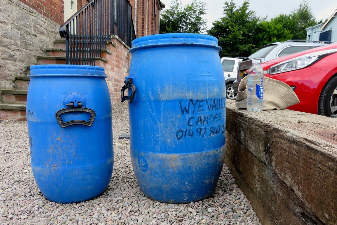
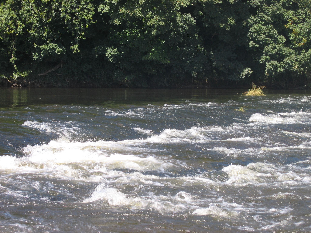
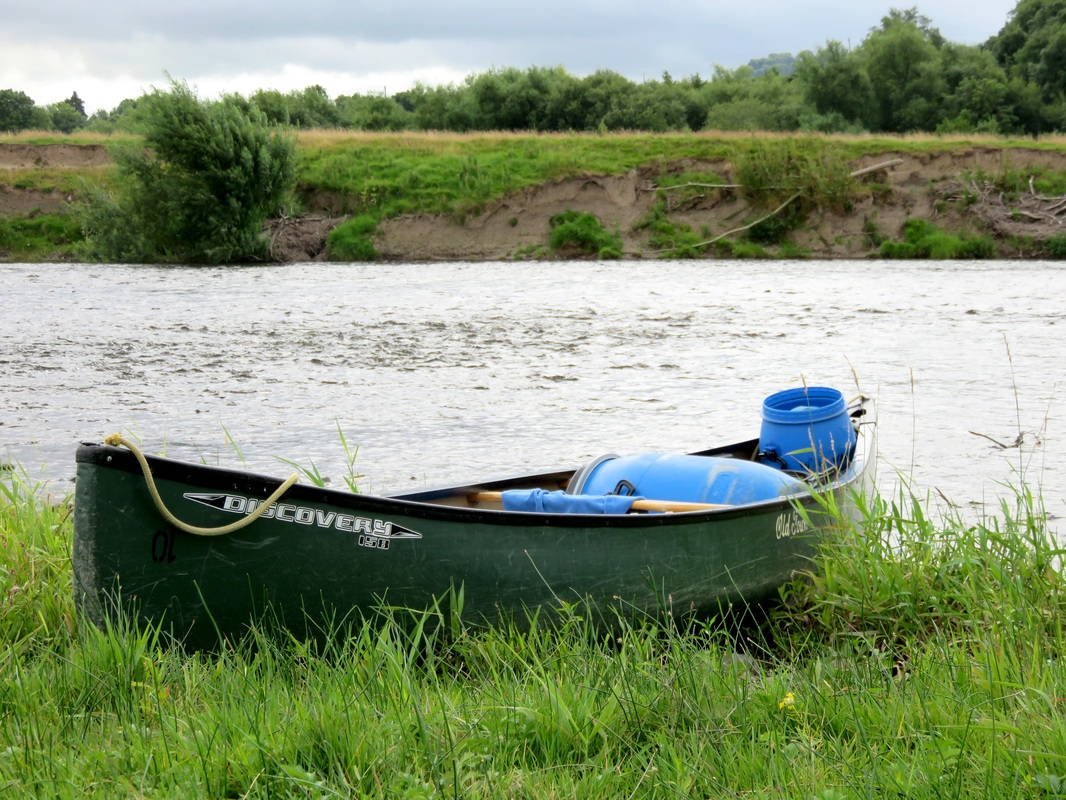
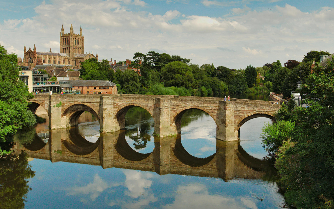
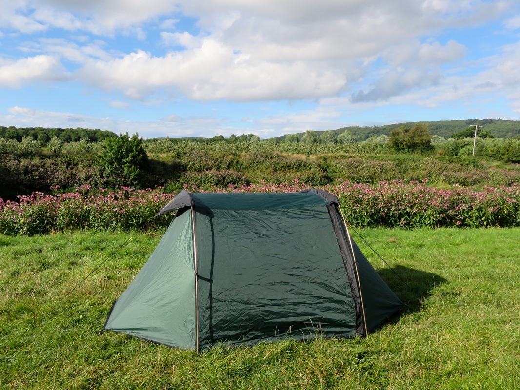
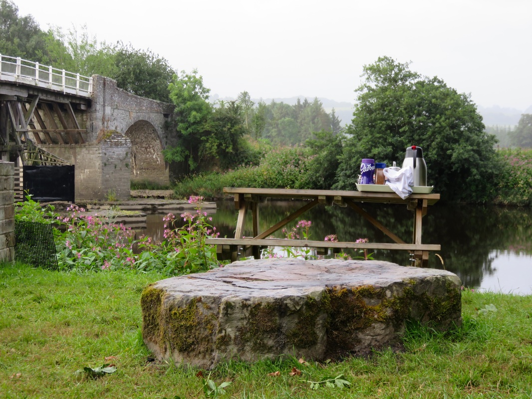
And then it was the summer holidays. Several weeks off in July and August has to be one of the best bits about working in a school! We set off to walk from the English Channel to the Bristol Channel with nothing but a backpack (and reservations at a number of B&Bs, haha!). I posted lots of photos at the time, but here are a few more from the walk - including some from the last day, which was actually the 1st of August. Shhh, don't tell!
I shall sign off with a very short compilation of video footage taken at various places over the month of July.
8 Comments
The sights and sounds of summer . . .
To start, why not put some sounds in your ears while you read over this post? Below is a compilation of various recordings I made (on my camera, so not brilliant quality) during June. Originally, I intended to do a recording every day for 30 Days Wild, but didn't manage it. Speaking of 30 Days Wild, it was fantastic to get my pack from the Wildlife Trusts, featuring cards with pictures that I drew! It was very exciting to have my art going out to thousands of people. I talked about the process of creating the cards here.
So, back to our activites in June. We paid a visit to London for a family wedding at the start of the month and enjoyed some green spaces in the city.
The wedding cakes were a sight to behold. All the fruit and flowers inspired me to try something I'd been meaning to get around to for the last few years: cooking with elderflowers. I foraged a couple of flower heads and made them into pikelets (sweet little pancakes), which worked quite nicely.
It's hard to fit in outdoors time around a full time job with a 1-2 hour commute each way, so we decided to start a little tradition of going on a walk on the way home at least once a week. We chose Arlington Reservoir, because it's a one hour circular walk on an easy trail, with a variety of stuff to look at: the water and waterbirds, a bit of woodland, views of the South Downs, animals, buildings, fields. It was satisfying to watch the evolution of the micro-ecosystem that is the reservoir wall over the course of the summer and autumn, until it got too dark to walk any more.
There was a gorgeous Chicken of the Woods fungus growing on Battle High Street, of all places. I didn't want to take it, as it looked so lovely and colourful. Somebody else didn't have any such qualms - it had been cut down when we next went past, a couple of days after I took this photo. (I later heard it was a friend of a neighbour, who presented it to a family member for their birthday!)
We had an amazing microadventure on the South Downs with probably the most beautiful scenery I saw this year. The HRRA walk this month was also on the South Downs, which meant even more fabulous views!
Small tortoiseshell butterflies, which have suffered a population decline, especially in the south of the UK.
And at the end of the month we went Champing for the first time. Despite quite a grey and drizzly month overall, we did manage to make the most of it.
Mild weather lingers as the leaves turn golden - then the days shorten, mists smother the valley, and frosts coat the grass. We had fine weather through most of October. The colours only started turning in earnest towards the end of the month and, because there was very little wind, they stuck around for a while. Much to my disappointment, the ponies moved out of Lake Field in November. At first we thought they might have been relocated for bonfire night (a very big, very rowdy night in Battle!), but then a sign popped up informing us that they'd done their bit for Lake Field and the National Trust was moving onto the next stage. This involved felling a patch of sycamores from the edge of Lake Field to the left of these photos. Apparently there used to be allotments here. I'm not sure when they were established or when and why they were left to overgrow, but they must have been disused for a couple of decades judging by the size of the trees. OctoberNovemberDecemberI hope you've enjoyed this year-long photo series about Lake Field as much as I've enjoyed taking the photos. It's been interesting to see the seasonal changes wash across this one view and exciting to document the National Trust works in and around Lake Field. I certainly wasn't expecting so many changes when I began the project.
A month bookended by long weekends and packed with the beauty of spring.
We went up to Suffolk for the first May bank holiday weekend (which technically started in April, but I've put it all in the May revist because I can). It was lovely to spend time with a couple of friends, and I posted many pics of cute animals we saw, so go and look at them. Here's some birdsong recorded at the minster ruins (where we wild camped the year before) as a soundtrack.
Church in the middle of nowhere. This is where we first heard about Champing.
Dan and I started summer early with a little picnic (i.e. drinking sloe gin, generously provided by one of my colleagues) in the fields out the back.
Milkmaids, aka Cuckoo Flowers, aka Lady's Smock. All you need to know is it's tasty and pretty.
Again, heading out to take a photo from the top of Lake Field meant taking note of the hyper-local changes in seasons. These frothy white flowers (cow parsley, I think) made a pretty addition to the footpath.
We went down to check out the newly reopened and rebuilt Hastings Pier. You can see a paddleboarder at the right of the frame. I'd like to try it out one day. I think I would be terrible!
And for the other May bank holiday, we nipped off to a very local campsite for a night in the tent.
April was even busier than March - and I took loads of photos. Lucky you.
We started the month in Australia and had a couple of days in the country . . .
. . . before heading to Melbourne. I posted many photos of Melbourne at the time, but here are a few more.
Ceres, a community environment park on the Merri Creek, featuring gardens, chooks, cafe, nursery, green energy projects and more.
Silent Patterns from In Which I on Vimeo.
And then, all too soon, we returned to the UK - which put on quite a welcome with this sunrise!
We got back as lambing season began and we had the most amazing experience of seeing a sheep give birth in the field beside the footpath on the South Downs. We watched the newborn lamb almost manage to get up on its wobbly little legs, then the farmers came and whisked ewe and lamb away - presumably somewhere they could keep an eye on them.
The springing of spring also meant lots of foragables coming into season. I posted a sorrel recipe and a few other things also made it onto our table.
But it wasn't all sunshine and wildflowers. Towards the end of the month there was a light smattering of snow on the South Downs. Chilly!
The last days of April were part of the May Day bank holiday, which we spent with friends in Suffolk - but I'll post more about that next time.
Seaside, countryside, bush.
The month started with a visit to Margate with our friend. It was a gorgeous day - bright and windy - and we enjoyed our walk around the town and along the coast. One day I'd like to go back and hire bikes to cycle around to Broadstairs on the Viking Coastal Trail.
Notes from Lake Field. After the daffodils beginning to bud in February, the crocuses burst through, letting us know that spring really was on the way.
Then it was off to Australia for a week in the bush (end of March) and a week in town (start of April). I wrote about our time in the country in what I think is my favourite post of 2016: Australia (Part 1: Country). I took so many photos in Australia, and shared a lot of them in my posts at the time. But here are a couple of new ones for you - an eastern spinebill and a red-browed finch.
I'll post some more city pictures from our visit to Melbourne next time.
P.S. I really like reading "year in review" posts, so please hit me up with your links in the comments.
A recap and some photos that didn't make it to my blog at the time . . .
As I mentioned in my January revisit, heading outside a couple of times a week to take photos of the view from Lake Field meant that I paid closer attention to other details. Frost on the seed heads of flowers, months after they finished blooming. The first daffodils, almost ready to blossom. I tried to convince myself that spring was on the way!
Also in February, we went for a three day walk on the Grand Union Canal. I posted quite a few photos of our trip, but never got around to sharing the little videos I took of mist and reflections on the water.
Mist on the Grand Union Canal from In Which I on Vimeo.
I hope these pretty scenes inspire you (and me, let's be honest!) to get outside this winter.
Over the coming weeks, I'll share a few bits and pieces from 2016 that didn't make it online at the time. Mostly it's a good motivator to get around to editing all my photos! Getting my camera out to take a photo of Lake Field every week also encouraged me to notice the details near our house as the seasons changed. These apples stuck around on the tree through January and into February. Dan's folks came down for a day and we enjoyed a shimmering afternoon by the sea. This is the view from Galley Hill in Bexhill, looking east towards Hastings in the pastel glow of the late afternoon sun. We go walking most months with a local group, part of HRRA. In January we went for a (very short) walk at Camber Sands, near Rye. The first two photos are taken looking east, towards Hastings but from the other direction. Please be warned that the third photo is the corpse of a calf which had washed up on the beach. We spent a weekend in Chichester, which I wrote about at the time. Here is a photo from the misty Saturday morning. What are your plans for this winter? I'm looking forward to a trip to Norfolk and hopefully another walking weekend along the Grand Union Canal.
The tail of Storm Angus was still lashing the coast last Sunday, so our monthly HRRA walk was cancelled. But we were all ready to go out, so we convinced a couple of friends to brave the elements and walk with us from Hastings to Bexhill. (There's a video at the end of this post, in case you want to read along to the sound of waves on a pebbly beach!)
In Hastings Old Town, the wind had wreaked some minor damage - a few signs and awnings had blown over or come off the shop fronts. (You can see one in the photo above, on the ground behind the Whites signs.)
It was blustery when we met our friends by the Jerwood at the Stade. The wind was coming from the west, which meant we'd have a headwind all the way to Bexhill . . . If we made it that far.
The sea was white with breakers as we pushed along the seafront towards Hastings Pier. We noticed these big rocks, new additions to the seafront, presumably placed there to help stabilise the beach.
We also saw a few people out with their metal detectors. I suppose that the beach after a big storm would be a good place to find things that have either washed in from the sea or been disturbed and uncovered by the wind and waves. The the view towards Eastbourne was screened by a haze of seaspray.
I was quite close to suggesting we stop and have lunch at St Leonards instead. (That would have been a huge walk of three miles - the headwind made it feel a lot longer.) But I'd been stopping to take photos and the others were too far ahead to call off the expedition. Onwards to Bexhill!
The path between Hastings and Bexhill is part of National Cycle Route 2, which hugs the south coast of England from Kent to Cornwall. It follows the railway for a while, and passes this great old industrial warehouse. I love the patterns of the windows and the rust and texture of the metal.
One of our walking companions went down to the water's edge, a silhouette striding against the grey and white sea.
The sun began to break through as we got closer to Bexhill, creating silver stripes on the horizon. We were getting hungry and, while we found a few leaves of salty sea beet to chew on, it was a relief to climb Galley Hill, drop down into town and have a hearty lunch at Trattoria Italiana.
Afterwards, we popped over to the De La Warr Pavilion and spent a while mooching around Fiona Banner's exhibition. One side of the gallery is a wall of glass looking out to the sea, and Banner has covered this in an anti-UV film with several pieces cut out, the pieces being the same shape as (enormously magnified) full stops in various fonts. I loved how these shapes framed little views along the horizon and it appealed to me that the end of our walk should also be the end of a sentence.
I took a several minutes of footage of the mesmerising waves on the beach at Bexhill. Hope you enjoy them!
Waves at Bexhill from In Which I on Vimeo.
I've been struggling to find time and energy to get outside, let alone write about it. This often happens to me in winter. This year my motivation is to keep my walking muscles in practice for our Snowy River adventure. Do you have any other suggestions for motivation? (A good lunch is always a motivator!)
We’re over halfway through a very gradual process of walking from London to the Norfolk coast. We started a number of years ago, when we were living in London. Last autumn we crossed from Hertfordshire to Essex. On the last school break, we spent most of the walk in Cambridgeshire.
Cambridge was the mid-way point of the walk, so we drove up and stayed there for two nights (one before we started walking, one in the middle of the walk). This also gave us a bit of extra time to mooch around the city.
On Day 1, we caught the train back down to Great Chesterford and walked back to our accommodation (approx 30km/19mi). Our route took us up onto the hills of Cambridgeshire (I hope you enjoyed that joke) and along a Roman Road for the second half of the day. On Day 2, we walked to Ely, then caught the train back to our car (approx 27km/17mi). We followed rivers all the way, the Cam from Cambridge to its confluence with the River Great Ouse, then along the River Great Ouse to Ely. Here are a few things we saw on the way.
Day 1: Great Chesterford to Cambridge
At Great Chesterford, the grass seemed to be shining with . . . was it frost? We couldn't tell until we got closer and Dan realised the sun was shining on dew-beaded spiderwebs, strung from every blade of grass.
As we walked across the recreation ground, we noticed a rainbow gleaming in the webs. Beautiful!
It was a sunny morning, and we walked up onto the long, low hilltops. The hills aren't high, but as everything is so low, we had wonderful views over the countryside. It was fantastic to be out on such a gorgeous day. The autumn leaves were absolutely stunning. I think I said the same thing in my post last year, but I'm sure the leaves are brighter this year than they have been before!
Although the views were beautiful, it was a hazy day, so the horizon melted away into a blue smudge. We met some people walking up onto this hill as we were walking down. They told us that on a clear day you can see Ely Cathedral from up here. We couldn't see that, but we did spot wind turbines, greenhouses, pylons and an interesting looking water tower.
The autumn leaves were the stars of the show, but we also encountered bright flowers (pink roses, pink and orange spindle), blackberries, rose hips, crabapples and more.
We crossed the River Granta, a tributary of the Cam, and stopped at the church in Hildersham for morning tea. We'd just called into the local convenience store and had bought a loaf-shaped chocolate cake - the sort you might bring for a morning tea with several people. We ate half of it with a freshly brewed cup of tea. Then we ate the other half of it with another cup of tea. Yum. Inside, the church was beautifully and colourfully decorated. They also had a very new loo and running water, so we filled our water bottles again before setting off (from the tap, silly!).
From Hildersham, a short walk took us across fields being sown with potatoes to the Roman road. This trackway stretches most of the way from Cambridge to Haverhill and is used by the E2 European Long Distance Path (alternative route) and the Harcamlow Way. I always find it astonishing and humbling that I can walk a road so many centuries old and still see traces of its origins - the built up trackway, the ditches on either side. An sign informed us that the northern half of the road is a Scheduled Monument because it was built to such a high standard.
As well as the usual hedgerow shrubbery, some lengths of the Roman road had dozens of crabapple trees, with fruit flavours ranging from an unpalatable, mouth-drying tannin to a delicious crunchy sourness. We saw whitethroats (we think) and even a few butterflies in the long grasses by the roadside. We picked a few handfuls of blackberries, which were not bad considering how late in the season we were, to keep our energy up. We didn't eat any mushrooms.
Lush. That's some Brambly Hedge level business right there.
We were aiming for Wandlebury for lunch, so we were pleased to cross the A11 (incidentally, also a Roman road) and enter Gog Magog Hills territory. Wandlebury Country Park features the remains of an Iron Age hill fort - a very large, circular ditch - surrounded by beautiful woodland.
We found a nice big tree stump by the earthworks, stoked up our trusty Brukit (OK, screwed it together and pressed the ignition switch) and cooked ourselves some instant noodles. Oh, how delicious was this longed-for lunch. We had planned to walk around the fort, but decided our day was going to be long enough without adding extra distance. Instead, we decided we'd come back and visit Wandlebury on one of our trips to Norfolk. It would be an ideal location to break up the drive with a short walk. We stopped at the lookout here and in the hazy distance we decided we could just spot Ely Cathedral - the ship of the Fens.
By the time the Roman trackway met Wort's Causeway, I was flagging. A quick lie down on a handy bench helped a little, and we pressed on down the road, dodging cars. Considering this is still meant to be part of a long distance walking path, there wasn't a huge amount of room to walk on the verge. (And when there was room, there was vegetation up to our knees - which I appreciate is about wildflower conservation, but I was getting tired enough to think selfishly, "Screw the flowers, what about me!?")
We made it into Cambridge as the sun was setting. Dan's phone told us it was only another 50 minutes to walk to our Airbnb. Over an hour later, we still hadn't made it! I decided I had to eat pasta (mmm, carbs), so we ducked into a restaurant for dinner. Somewhat replenished, hobbled off into the darkness, finally making it home at about 7pm. I ran a bath and then flopped on the bed. Sensing my inability to move, one of the house cats jumped on me and went to sleep on my belly. Good call, cat.
Day 2: Cambridge to Ely
We set off around 8am, a good time to catch all the students out on the Cam practicing their rowing. There seemed to be quite a few new teams in the mix, probably because uni has only been back for a month or so. We wandered along, dodging the coaches who pedal along the path beside the river calling instructions to the cox and crew.
After leaving Cambridge, we crossed wide open fields to Fen Ditton. Wikipedia tells me, "The name was first recorded in around 950 as Dittone, meaning 'the village by the ditch', derived from the Fleam Dyke, the prehistoric ditch that passed through the village." We kicked through the leaves past the church and some play equipment (we both had fun on the flying fox) and then passed under the A14.
Baits Bite Lock is the end of the rowing stretch out of Cambridge, but we only saw a narrow boat passing through. We crossed over the river here and at the bottom of the weir, dozens of tiny fish wriggled in the water weeds.
We followed the towing path out past Waterbeach, observing the pollarded willows, a few kestrels and buzzards and lots of water fowl. I was pretty achy and half-considered jumping on the train back to Cambridge and doing the Waterbeach to Ely section another day. But after our morning tea stop at Bottisham Lock, Dan offered to carry the bag. I felt better immediately! Across the water we spotted a few deer faces poking out over the high weeds. At first we thought they might be Chinese water deer, which got us excited. However, a bit of Googling makes me think they were roe deer, which are still pretty cool - did you know they've been in Britain for over 6,000 years, were hunted to extinction in England by 1800 and then reintroduced? I didn't.
Throughout this walk, my eye was caught by the movement of machines across the scenery: a ride-on leaf sweeper, tractors in fields, ploughing, the motorway, long freight trains. I think perhaps the flatness of the landscape means these movements are elongated, stretched out like a long-held shot in a film. One thing we saw was a working party on the river, clearing vegetation from the water.
The colours on the second day were much more subdued, partly because it was overcast, partly because the vegetation was very different. We passed by some huge fields of leeks, rows and rows of gently spiked, blue-grey tops. The little curved-roof cabin across the river was painted a light sky blue, and the boat moored in front of it was blue, too. We thought about living here - it looked like it'd get a bit cold.
We saw hundreds of ladybirds on this trip. They congregated on fence posts, benches, walls, gates, trees; they whirred and swirled through the air; they landed on our backs as we walked, on every part of us when we sat still. I'm pretty sure we could have spotted every colour/spot combo there is!
After crossing the road between Wickham and Stretham, we had a late lunch: sandwiches and a freshly brewed cuppa. The fingerpost here noted we were 5 miles from Ely, so we didn't stay for too long. Soon, the small glimpses we'd had of the cathedral became longer views. It was nice, after such a flat, low walk, to have something against which we could mark our progress. At the confluence of the two rivers, we crossed over the River Great Ouse coming in from the west, watching boats pass beneath the arched footbridge. We joked that this was probably the biggest hill we climbed all day. (It wasn't a joke.)
After a rather lonesome walk, having seen barely a soul, this stretch of river buzzed with boats heading in both directions. Well, at least half a dozen boats. As we drew closer to Ely, we even exchanged greetings with few afternoon walkers. And there was someone metal detecting in a field beside the path, perhaps looking for the next Hoxne Hoard? We made it to Ely station in good time and enjoyed the smooth trip back to Cambridge, pointing out the window and saying, "We were there! We were there!". They only takes 20 minutes. Why didn't we just take the it in the first place?
Postscript: Patterns
Here, have three roofs. There must be at least one person reading who likes these patterns as much as me! Below are the multi-coloured tile roof of a big house in Fen Ditton, a corrugated shed roof from a farm outside Great Chesterford and the lead (I think?) roof of a church - possibly also in Fen Ditton.
A late addition!
When will we make it to Norfolk? When will we arrive on the Norfolk coast? Who knows! It could be years. (Actually, we'll be there in winter, but I think we'll drive up for that!)
Our adventure down the Snowy River in Australia is still on! In my last post about it, I mentioned that I wanted to talk about the planning process, to be honest about the logistics and all the work that goes into the trip before we head off in March. So, here goes. (This post got a bit out of hand with the videos!)
Snowy River (cc) John. Ahh, looks relaxing.
Back in July, several people said they were interested in helping out with food drops and maybe joining us on the river. Some mentioned camping with their families or joining us for a rest day in town, others liked the idea of walking with us through the high country, some even suggested bringing their ponies or bikes and heading off ahead down the road to meet us at the next campsite. Understandably, as we start following up on these expressions of interest, some folks won’t actually be able to come - the dates won’t suit, they’ll have made other plans for their holidays, or it’s simply too far to drive.
I’ve pared our list of things we need people to help us with down to nine essential transport and food related tasks, a few “it’ll make everything so much easier” things and a couple of nice-to-haves. Most of these fall into five or six clusters (e.g. three tasks in one cluster might be: bringing a food drop to Buchan, picking us up from the river and driving us into town, maybe checking out the caves with us, then driving us back to the river a day or two later). Hopefully we will get most of this organised over the next month or so.
Timelapse footage of the Snowy River near Charlottes Pass, Summer 2015.
Food: Speaking of food, Kate has been concocting tasty morsels for us - a dehydrated dhal seems to have worked well (and lasted OK for six weeks before rehydrating!) and we’ve been chatting about salty tomato fruit leathers and the pros and cons of Deb (instant mashed potato) and pasta. Semolina is going to act as a base for a couple of meals (sweet and savoury). Maybe I will have to overcome my intense dislike of cous cous, as it is such a useful travel food.
Gear: We are a bit behind with getting our gear together, mainly because we spent all our money on fun things like canoeing and Champing. We visited the Alpkit warehouse/showroom a couple of months back and it was fantastic! We’d been thinking of getting an Ordos 2 tent for this adventure, but the Ordos 3 is so much more spacious and almost free standing, with only a slightly bigger footprint and an extra 300g of weight. Decisions, decisions! Now we just have to save more money . . . We did get a Brukit (and then, several weeks later, some gas) which works a dream for cups of tea and instant noodles; soon we’ll try it with something more substantial. Also, we have bought travel insurance, woohoo! (I know, it’s not exciting, but it’s one of those things you just have to do.) As we often have before, we used World Nomads. Adventure time: My dad has sourced us a couple of tractor tyre inner tubes for the downstream sections. Who doesn’t love the idea of inner tubing down a river?! Adventures don’t have to be Serious Business At All Times. I’ve also done some more in-depth route planning, which means I have a list of maps to buy, and also the following conundrum to work out . . . Tulloch Ard? More like Tulloch Hard!
So, north of McKillops Bridge, the Snowy looks a bit like this.
The Snowy River as seen from the Barry Way, north of the Victoria/New South Wales border.
The river, which hasn’t really had full flow down it since the dam at Jindabyne was completed in 1967, cuts a smaller channel down the wide, flat river bed. There might be crevasses between the rocks, there might be a lot of tough underbrush growing in the old river bed, we might need to wade across the river sometimes to find a path - but I think that we will be able to walk or scramble our way along it. We’ll at least give it a bloody good try!
But south of McKillops Bridge, there are sections where the river looks more like this. The river enters gorge country, where the riverbed is much narrower. Very steep hills or cliffs slice right down to the water. There are a couple of points where the bottom of the valley is impassable on foot. I couldn’t find any Creative Commons photos of the gorge from the river, but you can see images here and here. Likewise, I can’t see any Creative Commons images from the Tulloch Ard Gorge lookout, so instead here's a picture of Little River Gorge, just before Little River enters the Snowy, to give you an idea of nearby terrain.
Little River Gorge (cc) Wikimedia. The Snowy gorges aren't quite so deep and sheer!
Most people I'd spoken to were saying we’d have to paddle some of the gorge sections downstream of McKillops Bridge. These people happened to be kayakers rather than walkers, so I wasn’t entirely convinced - but in the absence of other knowledge, I looked into paddling options. The easiest put-in and put-out points for a kayak or sports raft are at McKillops Bridge upstream and the confluence with the Buchan River downstream, at Balley Hooley campsite. This is probably the most popular section of the Snowy to paddle, so there is plenty of info about it. I started listing ideas.
1. Paddle - bring our own craft and gear. You can read the blog of someone who did a trip like this from Kosciuszko to the Coast. They missed out the upper section of the Snowy, instead taking the overland/shorter route south from Mt Kosciuszko/Targangal and meeting the Snowy River at Pinch River, above McKillops Bridge. As you can see if you read that blog post, there are only a few short sections where walking/scrambling probably isn’t possible, but because the river is deep, narrow and full of rapids, I don’t like the idea of trying to swim or wade them.
The benefit of having our own packraft/s is that we wouldn’t have to rely on many other people - in fact, we could use the boats all the way down the river, whenever we wanted. Also, they’re apparently pretty comfortable to sleep on! The downside to this is that it’s expensive to buy decent packrafts, paddles, floatation vests and possibly helmets - and it’s pretty heavy to lug around all that stuff if you’re not using it. Also, we’re more interested in walking and scrambling than paddling; having packrafts with us would really change the timbre of our adventure. Also, if you’re paddling whitewater without a qualified guide, insurance companies start charging massive premiums - or simply won’t cover you. (You might see why when you watch the following video! This is not usually what the river is like - this was filmed during one of the big environmental water releases.)
2. Paddling tour - get a group together and go on a guided tour. A few companies do guided tours down this part of the Snowy and this would be pretty lush, as they organise transport for all the rafts/kayaks and gear and some of them also cook all your food for you! You get the benefit of an experienced guide 24/7 which makes the whole thing a lot safer and, if your guide’s any good, you get to hear a lot more about the areas you’re passing through. But where a guided tour would make things easy in theory, in practice there’s a major hurdle: you need a minimum of 4-6 people for most tours, and it costs about $1000 per person for the four day trip. While we are OK to fork out the money as part of our adventure, we had a grand total of no people express real interest in joining us for this. Another downside to the guided tour thing is that, once again, it would change the feel of our journey.
Kayaking from McKillops Bridge to Buchan River with a tour group.
3. Paddle hire - hire a sports raft and paddle by ourselves. We could hire the craft, paddles, safety gear and waterproof barrels/bags for the four days between McKillops Bridge and Buchan, arrange transport for the gear to/from the river, and off we go. It’s the least expensive option and also fairly in keeping with our DIY adventuring style. We’ve recently done more paddling and discovered that we like shooting rapids, though when I looked for videos and images of the rapids on the Snowy River, they usually showed the biggest ones - the whitest water, the largest rocks, the narrowest chutes. In the gorge, rapids range up to Class IV which, if you read Wikipedia, is somewhat beyond our level of paddling prowess: “Risk of injury to swimmers is moderate to high, and water conditions may make self-rescue difficult. Group assistance for rescue is often essential but requires practiced skills.” Eek! However, further investigation (checking online maps, poring over photos and videos, reading blog posts and talking to our man on the river) revealed that there are good maps with the major rapids marked on them and that we could portage around them when needed.
Unfortunately, while I'd convinced myself and Dan that this was going to be our best option, convincing a company to hire the equipment to us, especially when the water levels might be quite low after summer, was another matter. I can’t say I blame them for their reluctance (I know we’re safety conscious and won’t be stupid; they don’t). After a couple of failed email threads and awkward early morning international phone conversations, I started to get pretty anxious and considered ditching the section entirely. There was only one other option . . .
4. Walking - scrambling up and over the hills when necessary. Back to square one. Walking. As it happened, my parents were catching up with someone who used to live near Orbost and who is a keen bushwalker. He and a few friends had walked the Snowy in sections downstream from Jindabyne in the late 1980s. I got in touch with him by email to get some hints and tips. “I went on foot the whole way, including the gorge stretch,” he told me. “It was a bit of a challenge but really not all that difficult to go up along some of the ridges beside the river. There are lots of animal tracks to follow - so it is possible.”
After tying myself in knots trying to organise the paddling malarky, it turned out that perhaps we could get along most of the section on foot after all. And where it’s not feasible to stay right beside the river, we could engage in a bit of cross country bushbashing. I went back to my timeline and maps, made some measurements, checked for tracks and access roads and eventually decided that we could probably still get to the Buchan River on the day we originally intended. Yes, there would be a few long, hard days of walking, but by that point in the trip we should be fitter than we have been for years (if not ever!), so hopefully it wouldn’t be too bad. We might also choose to walk the last long day along tracks and roads instead of along the Snowy itself, but I’m not going to stress about it - after all, it’s not meant to be a scientific survey of every metre of the river!
So that’s the state of our planning at the moment. I expect I'll update you again in another couple of months - hopefully when we've made some more decisions, bought some more equipment and organised some more people to help out.
After a glorious late summer in East Sussex, the year begins to sink softly towards autumn. The grass is cut for hay and the crops are harvested. In the pastel mornings, mist hangs in skeins over the fields. But the most exciting news from Lake Field is the arrival of some new residents: three Exmoor ponies! The ponies were preceded by a bit of work by the National Trust, including new fences and gates. While people are still able to enter the field, this infrastructure should keep loose dogs away from the ponies. The ponies seem to be quite a hit with passers by, who can often be seen leaning on the fence to watch them. I count myself amongst the gawkers - I'm pretty happy with our new neigh-bours! (I stole that pun from Dan.) JulyAugustSeptemberWe went Champing! Uhh, what is Champing? It’s camping . . . in a church! Sounds amazing (apart from the terrible portmanteau) and it is amazing! The deal is, you book a church through this website, much like you might book a B&B. It’s £55 per person per night (discounts for larger groups and repeat bookings, currently free for kids to the end of the season). You have the church all to yourself/yourselves. The fee gets you camp beds, water, tea and coffee making facilities, camp chairs with cushions and blankets, electric candles, lanterns and access to a loo. Oh, and one of the more unique bedrooms you’re likely to experience in an average year. We found out about Champing when we were in Suffolk with our friends and we decided to give it a go. It seemed like a fun idea for a night away, a bit more interesting than the usual accommodation fare and a bit more appealing to those who aren’t too keen on braving the elements under a tarp or in a tent. Most of the Champing churches are in the South East, but they’re starting to spread. The churches are no longer in use for services and such things. Our first Champing adventure was back in June at the Church of St Mary the Virgin in Fordwich, near Canterbury in Kent. Fordwich is a pretty little village (actually Britain’s smallest town) on the River Stour. Our venue still had the feel of an old village church in use, with quite a few displays around the place. Aside: After our night in Fordwich, I went for a wild swim in the Stour upstream of Canterbury. It was brisk! We enjoyed our time in Fordwich, and we decided to try another church. We booked a date in September to visit Old St Peter and St Paul’s Church, which sits on a private estate near Albury in Surrey (that’s the church I’m reviewing below). This building had a different feel - emptier, more spacious, lighter, more regal, more austere. One of the lovely things about these churches is that they are open to the public until the evening. When we arrived at both churches, we got to talk to other visitors about what we were doing. As you might expect, reponses ranged from envy and excitement to, “Isn’t it a bit . . . creepy?” and, “Rather you than me!” Generally, though, everyone was intrigued with the idea and agreed it was a good way for the Churches Conservation Trust to bring in a bit more money to help preserve these old buildings. “Oooh, Champing!” was usually the last thing we heard as visitors wandered off across the churchyard. I was impressed with both of our Champing churches, though Albury might just be my favourite of the two. The Champing team sent all the info we needed pre-arrival and everything was set up in the church before we got there. All we had to do get out our pillows and sleeping bags, decide where to put the camp beds, unpack our snacks and drinks, switch on the electric candles, then talk and play board games into the night. In the morning, you get breakfast, usually at a nearby pub or cafe. We had a bit of a disaster with the first place, which no longer provides the breakfasts at Fordwich (despite confirming beforehand, they had no idea how to cater for three vegetarians and a vegan) but the hotel in Albury was OK (although they only had dairy milk for drinks, alas). All in all, it's a pretty novel experience and comfort levels are somewhere between camping and glamping. I'd recommend it for families and groups of friends who want to try something a bit different. "Oooh! Champing!" Year of Sleeping Variously: Champing edition
Champing verdict: 72% Previous Year of Sleeping Variously posts: tarp on a hill; B&B in a town; tent in a garden; holiday cottage on a farm; tent at a campsite; cabin by a canal; budget hotel. Have you been Champing? Would you like to try it? If you've got any questions about our experiences, leave me a comment and I'll get back to you. Our channel to channel trip included a few pretty long days of walking. One way of making a long walk more pleasant is to do some training. We didn’t do that. Instead, we opted for Option B: carry less stuff. Pack lighter, go furtherThat’s the mantra of many ultralight hikers. The idea is that the less weight you carry, the easier it is to walk long distances. You’re less tired, less weighed down, less likely to injure yourself. And after this walk I’m inclined to agree (though having the money to convert to ultralight gear, or the desire to sleep in a half sleeping bag is another matter!). Although we could have done the long days with big packs, I think we would have been even more exhausted and much, much achier. Our biggest weight saving came from staying in B&Bs every night. I figured that, with the exception of a few things, we only needed to pack what we’d usually take on a day walk. We didn’t need to bring any sleeping gear or shelter and most B&Bs provide soap, shampoo, conditioner, moisturiser and tea bags (though we packed some Earl Grey teabags, in case any B&Bs only had plain tea!). Because it was only four and a half days of walking, we embraced the stink and didn’t carry any extra clothes. We checked the weather and left our jumpers behind, deciding a t-shirt/shirt/raincoat combo would be warm enough. We also left our PJs out . . . rude! We relied on eating out or not being hungry most nights, so we usually only had to buy and carry snacks and lunch a day at a time. As we knew we’d be passing quite a few pubs and villages, there was no need for the trowel, toilet paper or much first aid. I figured the batteries on my camera and the dictaphone would last, so didn’t pack chargers or spares. In the end, we could easily fit all of our gear into one day pack (Dan) and one shoulder bag (Jonathan). Kit list
Thoughts on our gearI found this review helpful after our walk across Wales last year, so I'm doing it again. What didn’t we use? We didn’t use the water treatment drops. Although there was one day when we came close, in the end we just asked at a farmhouse to fill our bottles and they obliged - which actually made for a much more interesting experience. I didn’t really use my thermal top, though Dan wore his t-shirt. Because we had the voice recorder, I didn’t write very much in my little journal. We had a couple of teabags left at the end, too. What did we appreciate most? Probably our biggest luxury was our daily thermos of tea. It’s not light, and the tea paraphernalia can get a bit bulky. However, a nice cuppa can make all the difference in a long day of walking - it can really pull you (read: me) out of a mid-afternoon slump. I also want to give big props to my shoulder bag - it’s a Stuffit Pram Bag, which a former boss of mine bought for me at a trade show. I love the wide shoulder strap, which spreads the load over my shoulder so that it never digs in. What did we miss? I missed having a second, less stinky top - Dan wore his t-shirt to dinner in Honiton and when we socialised with our hosts after having showers. My thermal t-shirt doesn’t really work for that. Maybe next time I’d take a normal t-shirt or a short-sleeved shirt instead. Dan says he would’ve liked a set of undies and socks “just for evening wear”. How posh! What did we not take and not miss? Jumper, thermal leggings, walking poles, waterproof trousers - pretty much anything not on the packing list and not mentioned above. Route mapBecause no trip report is truly complete unless there’s a map! We started the walk at Budleigh Salterton, near Exmouth. We mostly followed the River Otter to its source in the Blackdown Hills. We dropped down into the Vale of Taunton Deane, then headed up onto the Quantocks for the majority of the last day. Finally, we more or less followed the Doniford Stream to Watchet. We didn’t follow any specific long distance route, though we ended up sharing the path with a good number of them at different points. I used my usual method for charting a course and booking accommodation and I was pretty happy with the route we took. In terms of transport, we drove to Taunton and parked in the station car park. We took the train to Exmouth (I loved the section where the train line is so close to the edge of the River Exe that it seems to be travelling over the water) and a bus to Budleigh. At the other end, we took the bus from Watchet back to Taunton. This set-up worked well for us (apart from the terrible service from Buses of Somerset on the Watchet-Taunton leg). Thanks to Dan for organising transport! It was a simple thing to hop in the car back at Taunton and then head off to Wales. Year of Sleeping Variously: B&B editionOh yeah! We're back on with this thing! So, over the course of our holiday, which included this walk, the canoeing trip, a day in Monmouth, a night in Malvern, a weekend in Birmingham and a few days in London, we slept at: 4 B&Bs (including one booked on Airbnb), 2 Airbnbs (the proper kind in a house), 2 campsites, 1 friend's house and Dan's folks' place. So there is plenty to choose from. For no particular reason, I'm reviewing Eastcote House in Honiton.
B&B verdict: 72%. Previously in our Year of Sleeping Variously: tarp on a hill; tent in a garden; holiday cottage on a farm; tent at a campsite; cabin by a canal; budget hotel. If you've got any questions about our gear or our route, drop me a line in the comments. Also, I love snooping at a good kit list, so feel free to link to one of yours! (Because you all like a listicle, right? . . . right?) After walking 100km from the English Channel to the Bristol Channel, we went on a three day canoeing and camping trip down the River Wye on the Wales/England border. In some ways, this was an extension of last year’s walk across Wales. We hired a canoe from Wye Valley Canoes and paddled from Glasbury to Hereford, staying overnight at Whitney Bridge and Preston-on-Wye campgrounds. Here's what I learnt. It’s easier than you might expect . . .We’d never been canoeing before (kayaking, yes - canoeing, no), so we really had no idea how far we’d be able to paddle in a day, or how long people generally think “a day” should be when canoeing. We decided to go for shorter sections, just in case - about 10 miles (16km) each day. Turns out, canoeing downstream is (or can be) pretty easy and pretty speedy. The river carried us along without much effort on our part and we covered the 10 miles in about 4 hours each day. In fact, the first day went so quickly we hardly bothered with paddling after that. Instead, we left our campsites late, noodled around on beaches for leisurely lunches and cups of tea, and slipped silently past hills, woods, farms and fields. One highlight of many was our view of The Weir Garden - we stopped opposite and had a chat to a few people across the river. . . . But the wind can be a pain in the proverbialThere’s an exception to the idyll I’ve just described. On the second day a strong headwind came whooshing up the river valley and we had no idea how to deal with it! Any onlookers must have laughed as we turned Old Town (our canoe's name) in a giant circle, got ourselves stuck in the shallows, then headed off in long, meandering zigzags downstream. We turned a corner and got a bit of relief: the high riverbank protected us instead of funnelling the wind straight at us; the wind was coming from a different angle; and the miniature storm had almost blown itself out. We did get caught in a mini-downpour, too, but we dragged the canoe up under a weeping willow tree and waited until it passed over. Silver lining: the wind dried us out in no time. "River Wye, Hay-on-Wye" (cc) Ed Webster. Literal pain in the butt: also a possibilityI was expecting to get sore shoulders, back and/or neck from the repetitive action, but I only had a few twinges and no real stiffness the next day. Keeping our actual paddling to a minimum probably helped! I wasn’t expecting to get a sore bum, but apparently there is such a thing as too much sitting down and looking at beautiful scenery. "Bredwardine Bridge over the Wye" (cc) David Merrett. Shut up, chill outOn our last day, barely a breath of wind disturbed the water ahead of us. We slid over a mirror of trees, dipping our paddles into clouds. A deer bent its head to the river to drink, grazed on some leaves, didn’t notice us until we were close. It watched us for a stretched-out moment, until something in our statue-still shapes gave us away as human then it turned tail and disappeared up the hill. A kingfisher splashed out of the river and sat on a dead branch to eat a tiny minnow. All through our trip, kites and buzzards circled over riverside fields, some resting on nearby trees before flapping low over the river and curving out towards the hills. Every now and then the fish would jump. Mostly we heard them, sometimes saw the splash before the ripples. But if we were lucky we’d see them leap in wriggling silver lines from the water towards the sky before flopping back. In our silence we heard the water lapping against the boat, the bees in the flowers, the creak of branch on branch. I thought I saw an otter once, but it turned out to be a fishing line making strange patterns in the water. (At Monnington Falls, Dan spotted an angler beside a rapid just in time to shout that we were coming through - there was no way we could have stopped at that point - proving that sometimes you need to be quiet, but sometimes you need to speak up!) We spent hours on flat stretches of river, view restricted to the sky, the banks and a few things tall enough and close enough to be visible over the edges. It’s hard to get lost going downstream, but it’s easy to be unsure where you are, especially if you don’t have much of a map and your phone’s tucked safely away. Added to that feeling of nowhereness, it sometimes seemed like we weren’t moving at all. If we looked at the water straight ahead of the canoe, we might as well have been motionless. The only way to check we were heading anywhere was to look sideways, at the trees and flowers and grass on the bank. I used to look out the car window as a kid and pretend I was in a stationary bubble while the world moved past. It was easy to play that game on the river. In these elongated minutes, I tried accepting each moment as it arose: boredom, the tug of the current on the boat, the direction of the wind, the little itches and aches in my body, the sound of bees and the smell of Himalayan balsam, the sand martins darting in and out of their small round holes in the river bank, my wet feet, the scent of river mud, the electric shimmer of a kingfisher darting low over the water. "Kingfisher Hovering" (cc) Kentish Plumber. Don’t drink and paddleThere was a group of eight guys who we passed and who passed us at various points. Possibly it was a stag weekend. They certainly weren’t interested in paddling anywhere fast. They certainly were interested in imbibing various substances. Perhaps that’s one reason we found two of their party standing waist-deep in the river in the middle of our second day. Their canoe had capsized and their various belongings were floating off downstream - including a large quantity of beer. They rescued most of the beer (they told us when we crossed paths again), but one of them had a very wet sleeping bag. Watertight barrels, life vests, paddles, canoe and pick-up at the end were all included in the hire cost with Wye Valley Canoes. Rapids are funWho knew? OK, pretty much everyone. But I’m not a thrill-seeker and I was a bit worried before we left. Yeah, I know they’re small (Grade II maximum in the section we paddled) but as I’d never managed to come out of a rapid facing the right way, before . . . I needn’t have worried. The river was deep enough that we weren’t likely to get stuck, shallow enough that (for the most part) we’d be able to stand up and walk out of danger if we capsized. Once we got the hang of things and stopped worrying, we actively looked forward to the riffle stretches: lining ourselves up for the most likely-looking spot, noticing the current grip us a little tighter and the canoe speed up, then feeling the distinct descent as we crested the first lump of water, enjoying the rocking motion through the wavelets, digging in the oars and maneuvering the canoe into the turn at the other end. There was only one point, at Monnington Falls, that required any significant steering through the rapids. And it was so fun, I wished we could go back and do it again! Whee! "034" - rapids near Glasbury (cc) Ian Haskins. Just because I can’t do it now doesn’t mean I can’t do itFollowers of our outdoorsy exploits might be surprised to find out that I am not by nature a particularly physically confident person. I’m usually more at ease reading up on a new theory, trying out new musical instrument or even starting a new job than attempting a new physical activity. I feel clumsy, vulnerable, anxious, ashamed - and as a result I am less likely to practice and therefore unlikely to improve. But I’m also quite stubborn. So when I commit to (and pay for) three days of canoeing, I’m not going to bail out early! It was good to begin something with very little experience, to go out without anyone to guide us or fall back on, to get frustrated at myself (and Dan - sorry, Dan!), but to gradually gain confidence and to noticeably improve over a relatively short period of time. Unsurprisingly, we were a much better canoeing duo when we hopped out opposite Hereford Cathedral than we had been when we set out from Glasbury. Some people are back-of-the-canoe peopleOne way to improve is to play to your strengths. In a double canoe there are two quite distinct roles: the person at the front provides most of the paddle power, the person at the back provides most of the steering. My strength is steering - I find the physics of it pretty intuitive and I enjoy paying attention and being in control of our course. Dan brings zen to the situation - he’s OK with letting someone else do the steering (even if it seems like we’re heading towards an obstacle) and with powering on when necessary. You can read our weaknesses into that yourself! But whichever role we took on, the most important thing was communication. It was something that we got better at as we progressed. It’s surprisingly difficult to give coherent directions whilst also focusing on paddling or steering, looking at the scenery, dodging a flotilla of hissing swans and/or bobbing down riffles. It’s harder to say, “There are rocks ahead,” or “Swap sides now,” or, “Turn right!” or “Let’s have a break,” than it is to say “Go, go, go, nooooo!” or “Do the, the, the thingie! No, the other thing!” or “Aaargh!”. "Hereford, UK" (cc) Swee Oon. Even experienced paddlers have bad daysWe met a couple who’d done quite a bit of kayaking and canoeing. They were spending a few days out on the Wye in their inflatable kayak and were having quite a good time - until an unfortunate encounter with a low-hanging branch knocked them out, capsizing their boat and sending a pair of brand new, £300 prescription glasses into the depths of the river. Whoops. Glasses aren’t the only thing paving the river bed around here. The guy who picked us up at the end of the trip was surprised when we said we hadn’t fallen in. He reckons there’s probably a cottage industry in diving for GoPro cameras at the bottom of each rapid. Hearing how many people have lost their cameras in the river made me glad that we’d kept our things ziplocked or drybagged and stored in the barrels - even though this means we don’t have many photos - and none taken while on the water. You can take the kitchen sink . . .We’d just come from a long walk, where we’d kept our gear to the bare minimum. As self-powered travel goes, canoeing could hardly be more different. One person we met likened these big, open canoes to pack horses and said he’d known people to bring their duvets and pillows along. Although we didn’t bring any luxuries, we did have our Aspect 2.5 tent (which isn’t huge, but weighs almost 3kg), all our sleeping kit, food and cooking gear. This all fit easily into two waterproof barrels - one large, one small. We could have taken more if we’d needed it. Not carrying all that kit on your back makes things a lot easier. . . . But this campsite brings a cooked breakfast to your tentYes, really! We spent our first night at Whitney Bridge - a tiny campsite wedged between the road and the river. It’s more a picnic site, really, and I can’t believe that there are more than four patches flat enough to pitch a tent! Anyway, we set up close to the river, with a charming view of the old wooden bridge, which is still a toll bridge and which the campsite proprietors operate. In the evening, we made a fire (they had an enormous supply of firewood) and invited the only other campers, the inflatable kayaking couple, to join us for a chat and a stare into the flames. In the drizzly morning, we opened the tent to find a tray with a huge flask of hot water, milk, various teas, coffee and hot chocolate all ready to go. In a plastic pocket, an order sheet offered breakfast rolls, omelettes and toast. We ticked the relevant boxes and popped it up to the house - a few minutes later, another tray was ferried over with our breakfast goodies and sauces to boot. If you have never had a hot, freshly cooked breakfast delivered to your tent, I highly recommend you try it. Luxury! (Our other campsite at Preston-on-Wye was at the opposite end of the spectrum. It was a riverside field with the following facilities: a landing platform, portaloos and a tap with drinking water. It delightful in a totally different way and we had it all to ourselves - except for two curious sheep.) All in all, this was a fantastic way to spend a few days. I hope to return to the Wye to walk or paddle another section - or to do both, because Symonds Yat is beautiful enough to visit by land and by water! Read more about our previous adventures in Wales here. |
In which IIn which I do things and write about them In which I tag
All
In which I archive
July 2022
|