Another rail trail! This time, a there and back walk along the Great Southern Rail Trail between Koonwarra and Meeniyan.
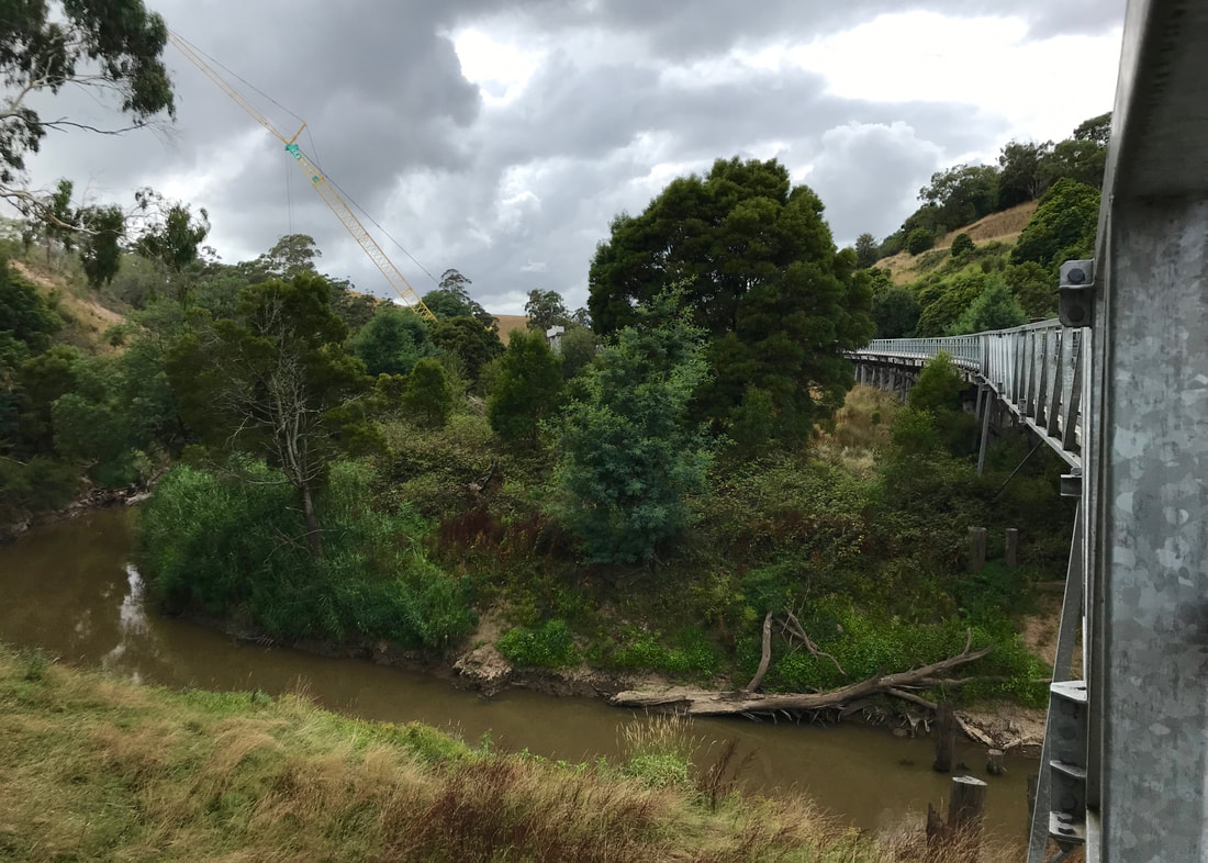
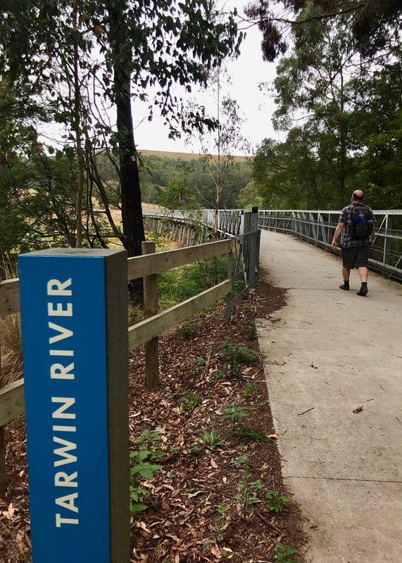
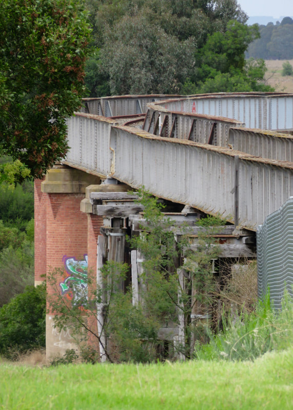
The rail trail takes this bridge over the Tarwin River. In the background you can see the crane (featured later!).
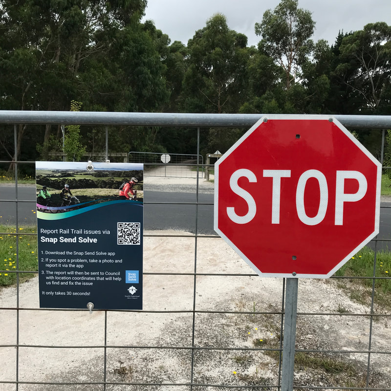
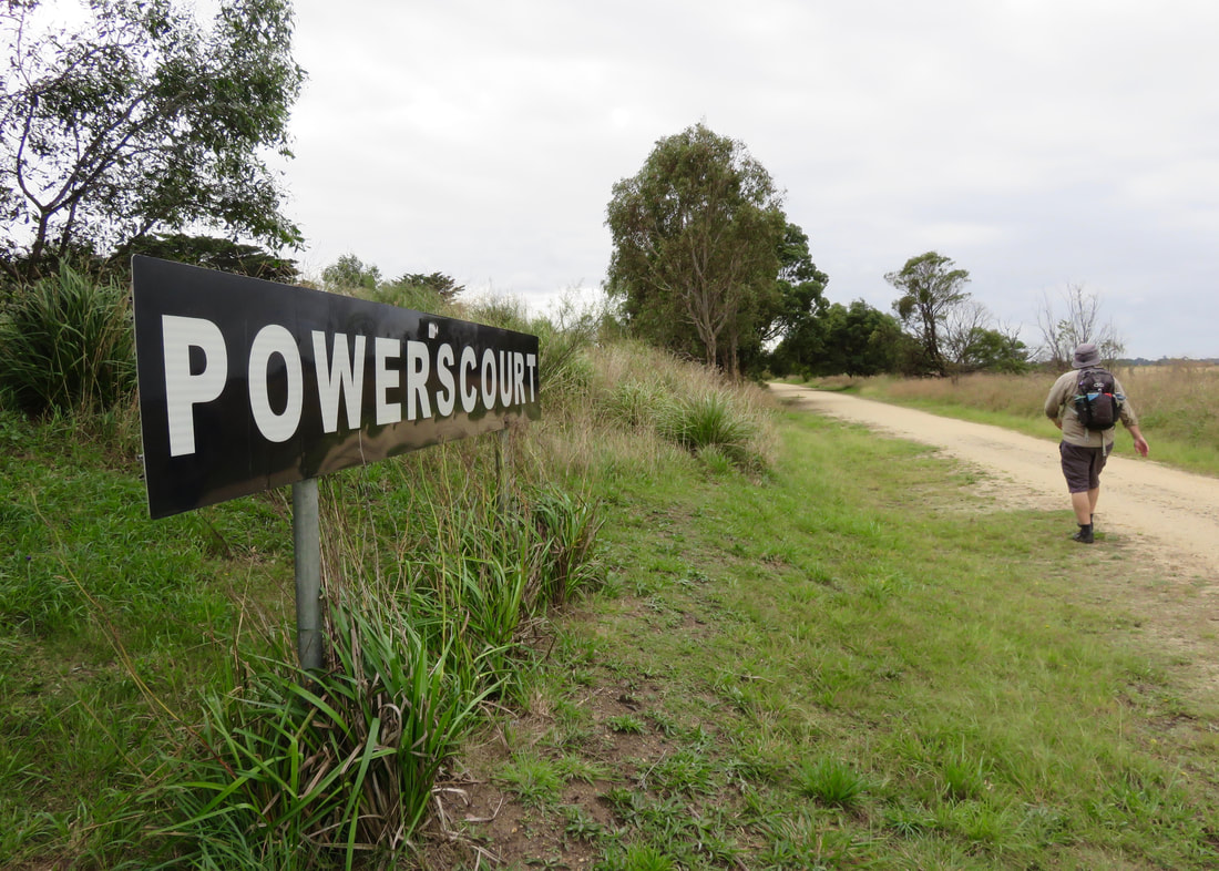
Dan and I spent a few relaxing days in South Gippsland in early February, which gave us a chance to check out a section of the Great Southern Rail Trail. While most material will tell you this trail starts at Leongatha in the west and goes to Welshpool in the east, it is being extended on the other side of Leongatha and if you don’t mind a bit of a road cycle you can also hop on the Tarra Trail from Alberton to Port Albert or Yarram at the eastern end. As we were walking, we chose the 8km section between Koonwarra and Meeniyan, planning to walk one way, grab lunch, and then walk back.
Which is exactly what we did. The End.
Which is exactly what we did. The End.
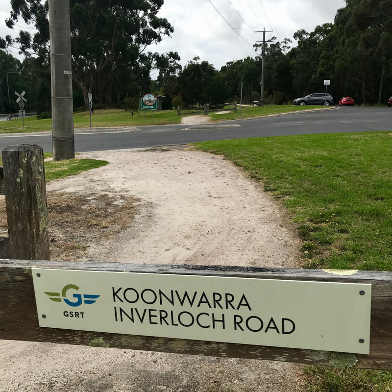 Where we started the walk. |  Near the start of the trail, Koonwarra. |
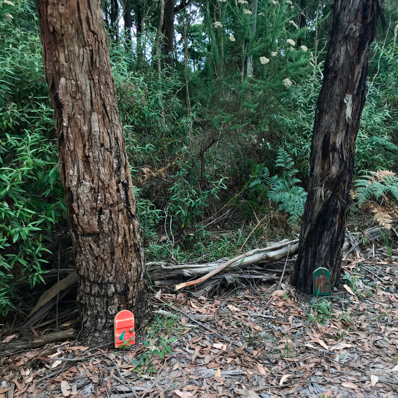 Doors in the trees - we saw a few of these. Cute! | 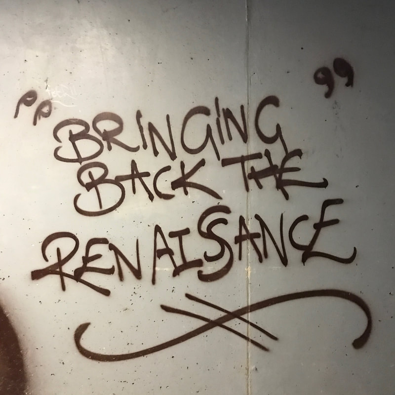 Graffiti in the tunnel at Koonwarra. |
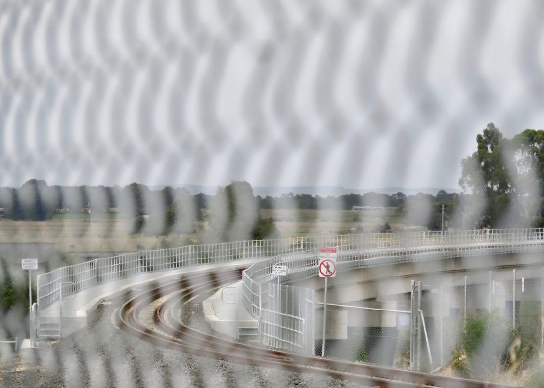
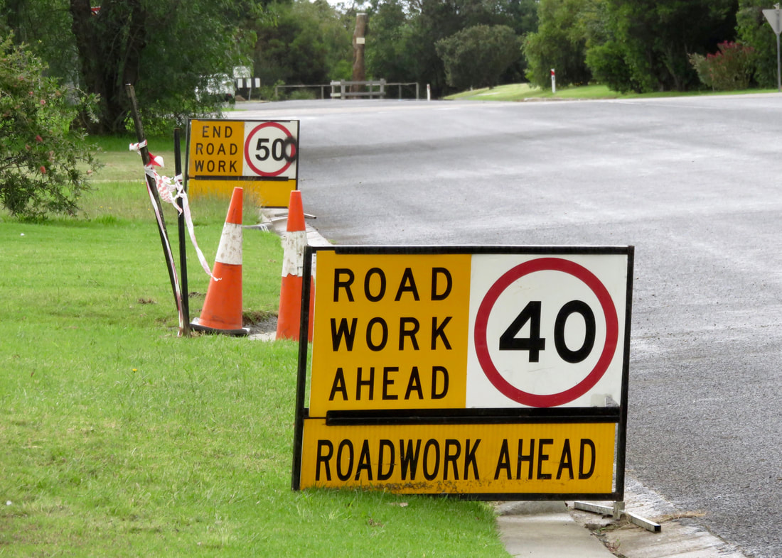
Just kidding! At the Koonwarra end, there are currently major roadworks to realign the South Gippsland Highway. The rail trail passes under the new alignment at a couple of points, but we didn’t have any disruptions. While we didn’t have to wait, we did stop and take photos (along with most of the work team) of a crane lifting a digger down into the valley. We also had a quick convo with one of the workers who recommended we get our mid-way coffee at the bakery in Meeniyan.
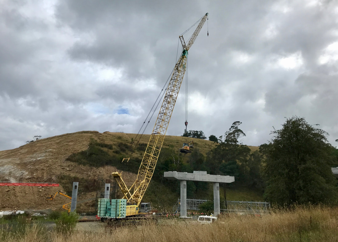
Crane with digger. We did wonder if the crane would pick us up and transfer us over the valley if we asked nicely.
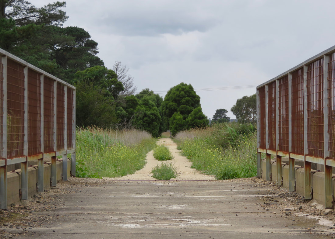
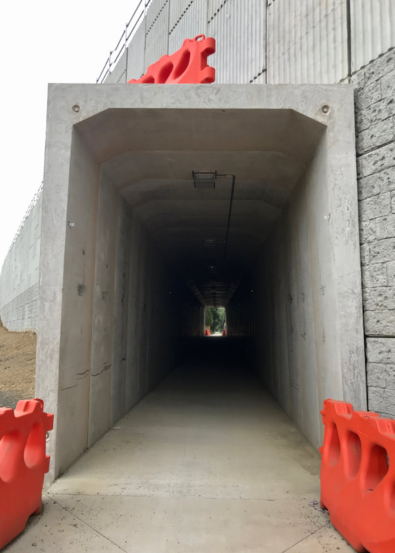 Looking under the highway from outside. | 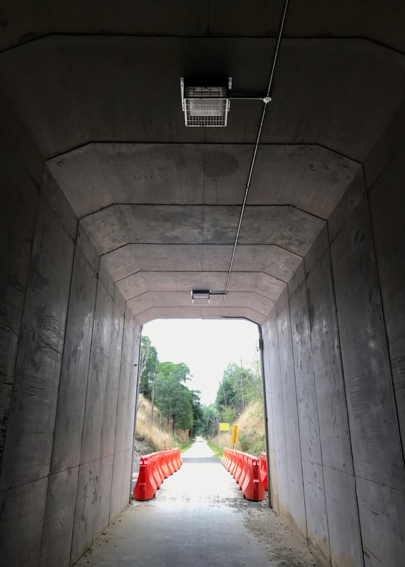 Looking out from under the highway. |
Most of the rail line itself was built in the 1890s, and was a key mode of transport of wood and dairy produce to Melbourne (or to ports and then on to Melbourne). The train had mixed goods and passenger service throughout much of its life. In later years it was kept open mainly by the need for commercial transport - superphosphate (fertiliser), the branch to Barry Beach that serviced the Bass Strait oil rigs, the sand mine (for glass production) and so on. Parts of the service, the line and its branches were discontinued or closed starting in the 1940s. Services to Leongatha itself stopped in the 1990s.
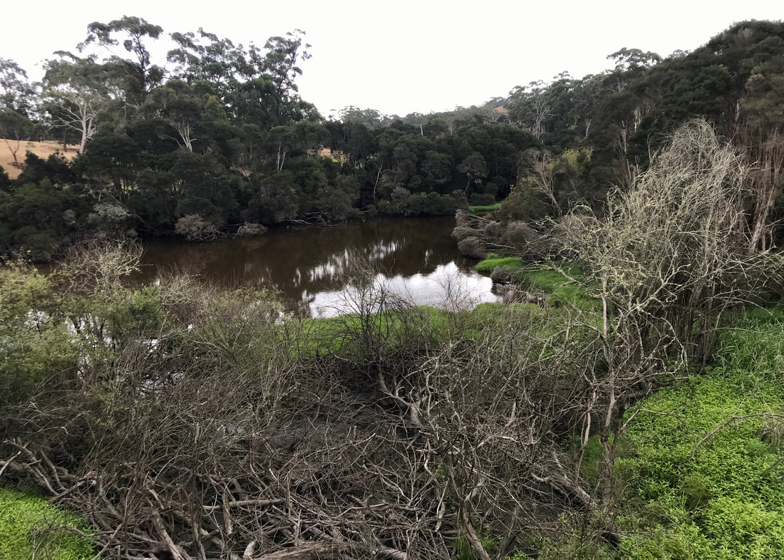
Either Tarwin River or Black Spur Creek or both. We crossed the river multiple times.
 Definitely the Tarwin under here! | 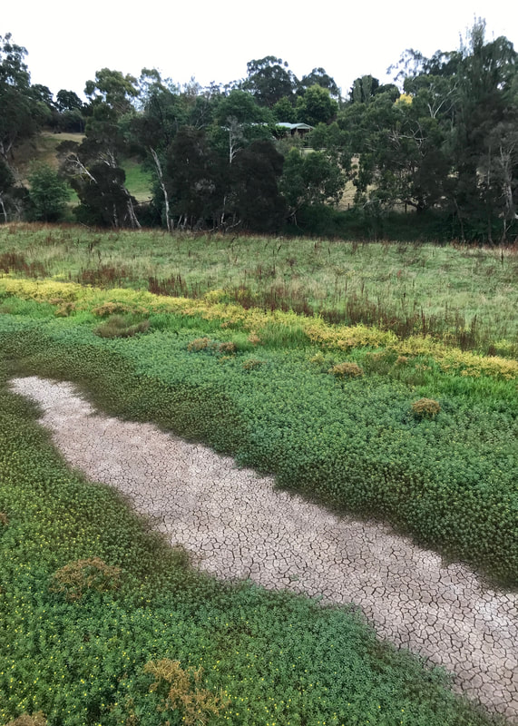 Dry, cracking mud on the floodplain. |
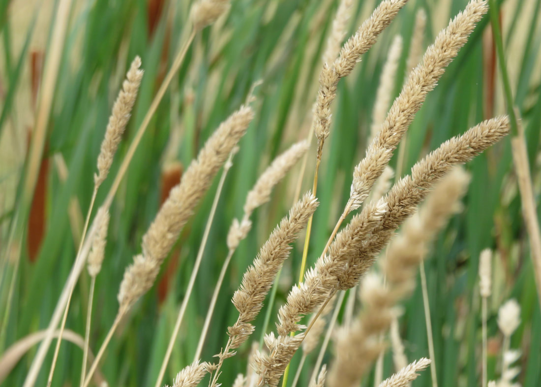
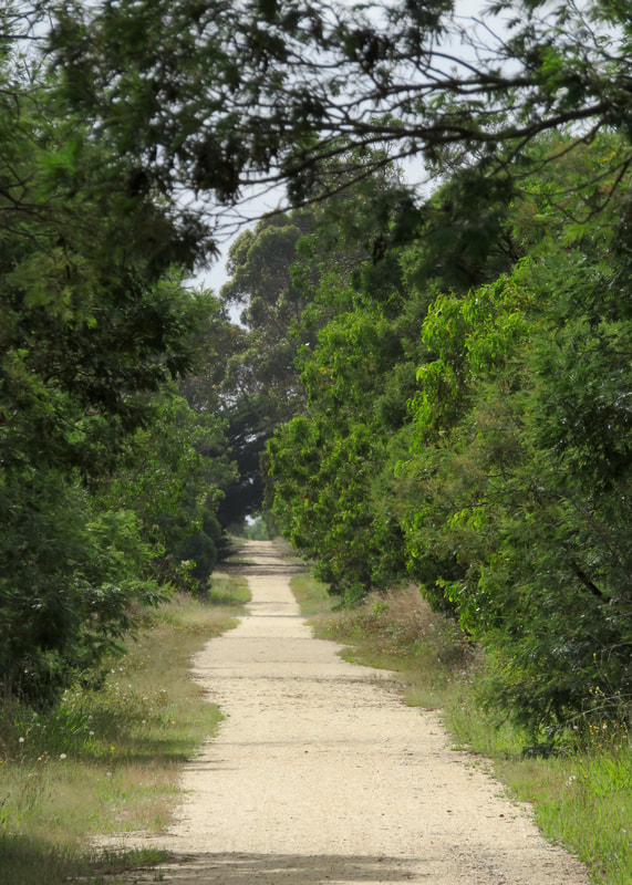
The line apparently had a reputation as being a particularly scenic route, especially in the western parts - and it’s still a really nice trail. The path between Koonwarra and Meeniyan weaves around grassy hills, crosses the Tarwin River a number of times (sometimes on the old wooden trestles, sometimes on new bridges beside them), and snakes along beside the flats a bit above the floodplain.
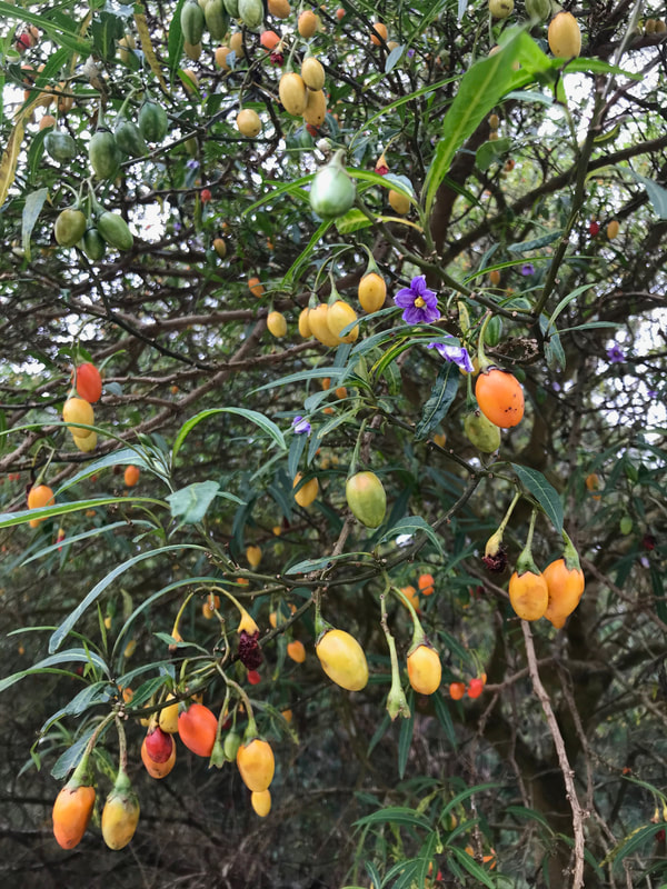 We saw some massive kangaroo apple trees. | 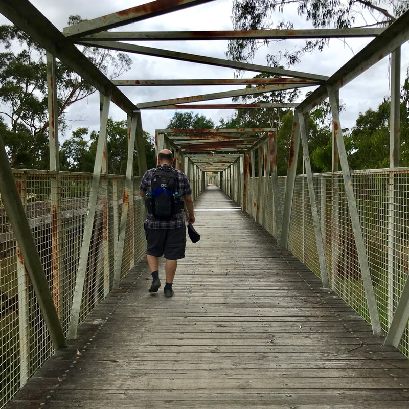 The old bridge is almost visible on the left. |
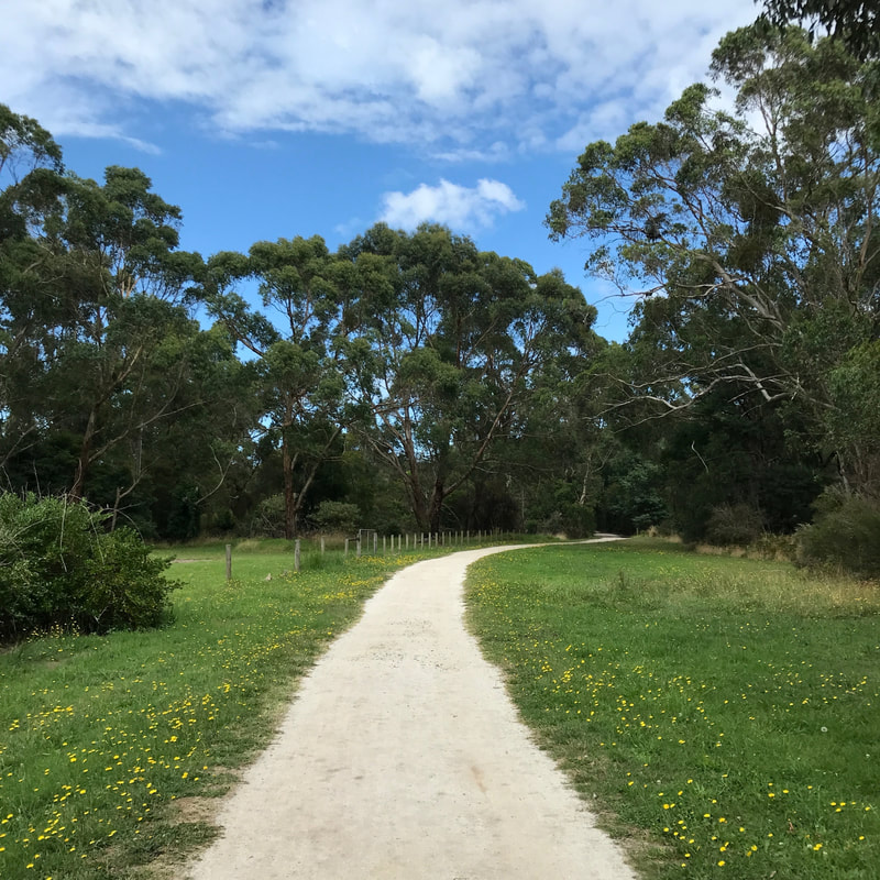
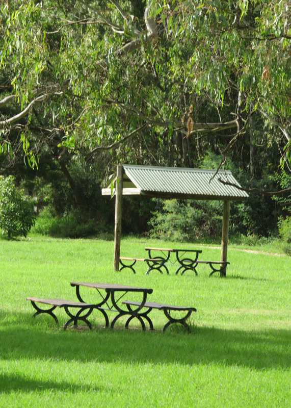
 Where we stopped and turned around, Meeniyan. | 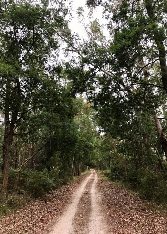 The trail near Meeniyan. |
It was interesting to compare this to the Maffra-Stratford section of the Gippsland Plains Rail Trail from the week before. Although I’d like to show some kind of home-team loyalty, this is honestly a much nicer path! As well as having corners and therefore several changes of views, there’s a little more ascent and descent (even a couple of walkers’ uphills, as opposed to only cyclists’ uphills) and variety in surface. There’s also more shade under the mature trees on some sections.
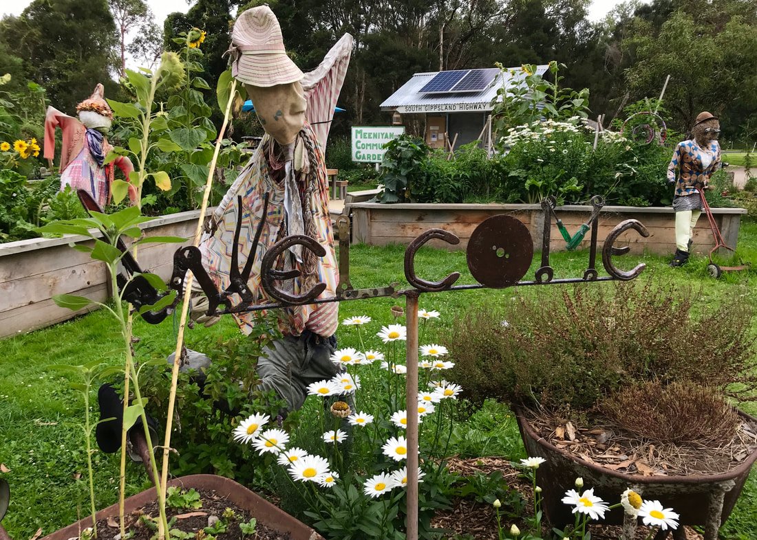
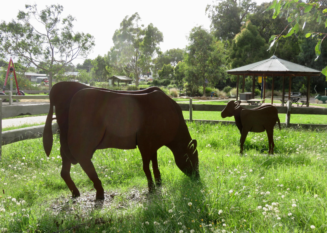
Meeniyan Community Garden was a bright and fun way to be welcomed into town.
In Meeniyan, we checked out a few options for lunch (we’d come on Thursday when we knew most places were open) and ended up going with our road worker friend’s suggestion of Pandesal Bakery. We had some very fresh cheese and salad rolls (the freshness made up for them only having cheese, tomato, lettuce, onion and aioli - this wasn’t your massive milk bar salad sandwich!) and I had an excellent coffee. Meeniyan is a really interesting little town, as are most of the villages on this section of trail. We didn’t spend time mooching this time as we knew we had another two hours of walking to get back to the car, but it’s definitely worth a visit!
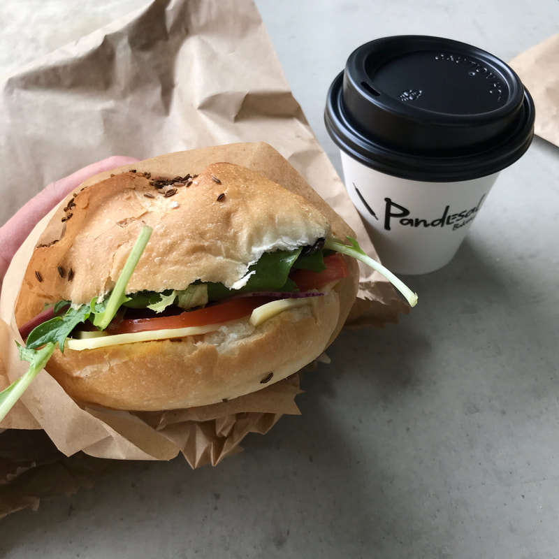 Lunch - salad roll and a good coffee. | 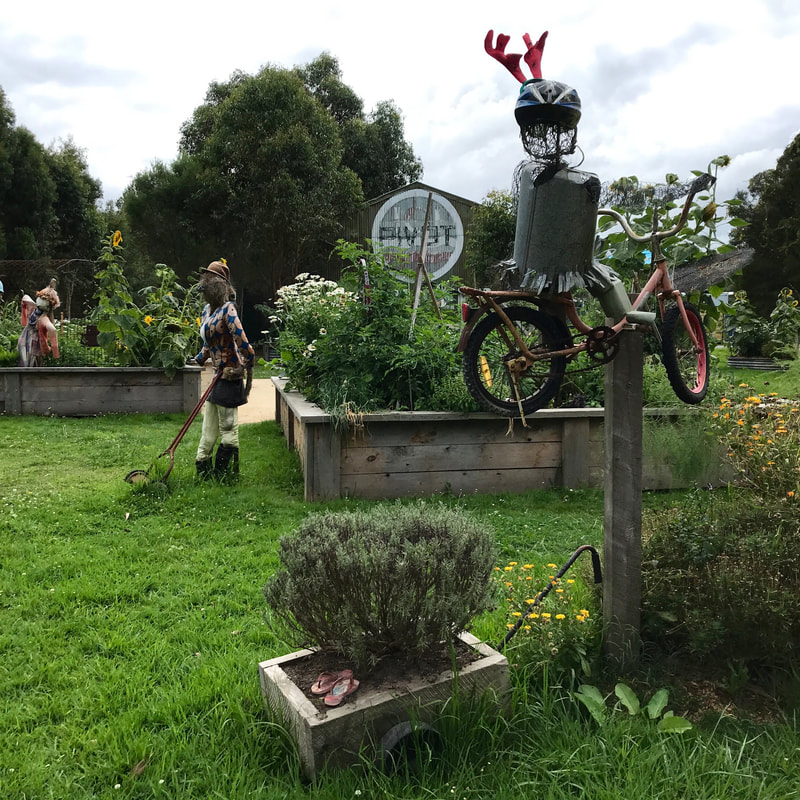 Sculptures at Meeniyan Community Garden. |
 Heading back out of Meeniyan under blue skies. | 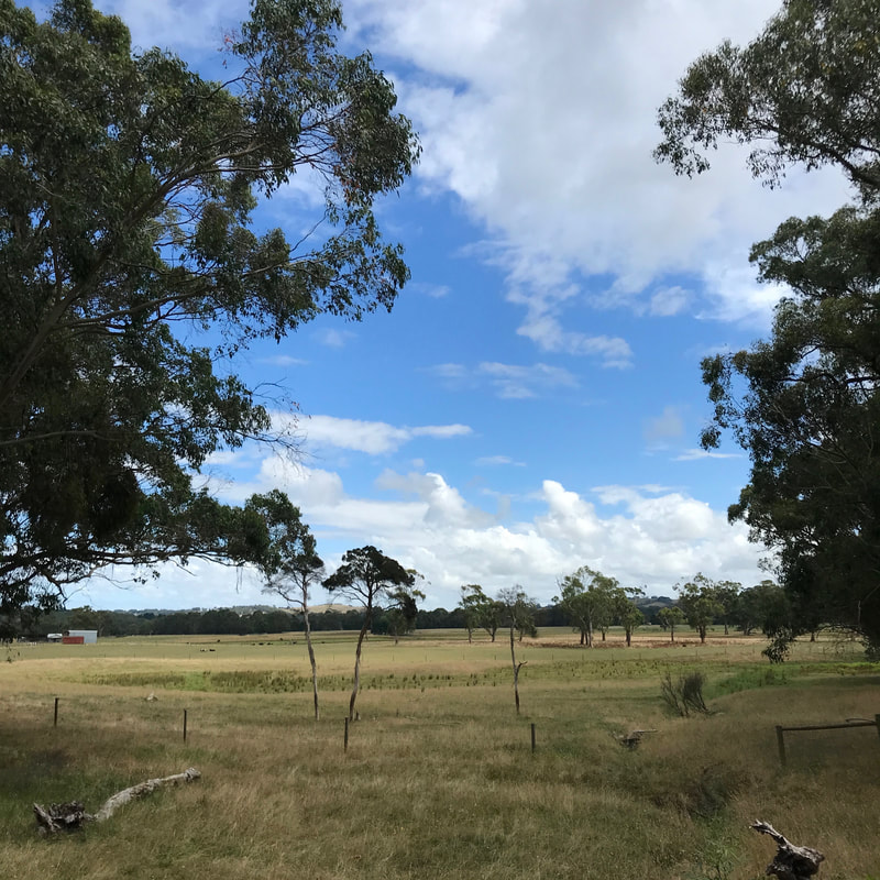 Farmland views. |
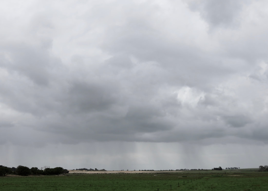
Most of our walks this year have ended with a meal, and I’d kind of forgotten that it’s always hard to get going again after lunch. I tried to convince Dan to carry me, but no luck. We stopped a few times on the way back for mini breaks, but it took us a while to find a bench that was actually in the shade for a proper rest - I took my right shoe off and we ate muesli bars. Allegedly, it was only meant to be 21 degrees, but with 95% humidity and the afternoon sun starting to beat down it felt a lot warmer.
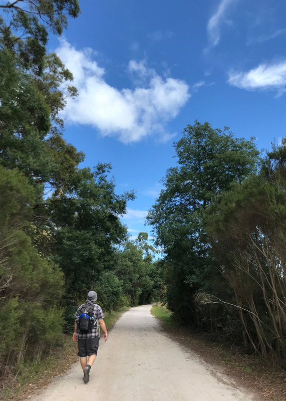 Dan on the long, pale trail. | 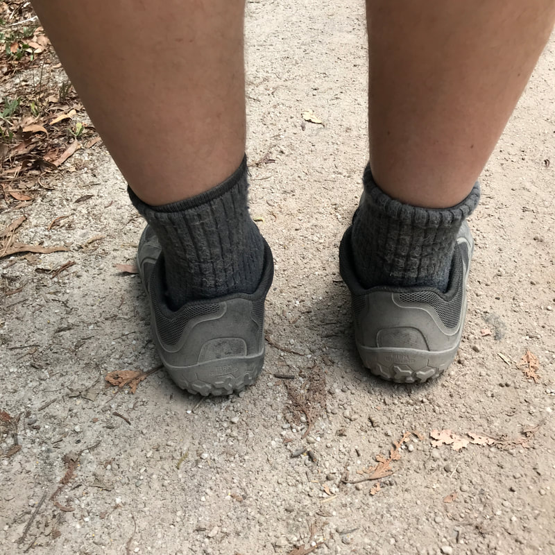 Starting to pick up dust! |
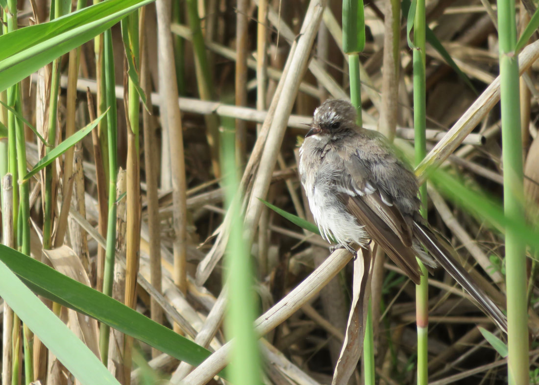
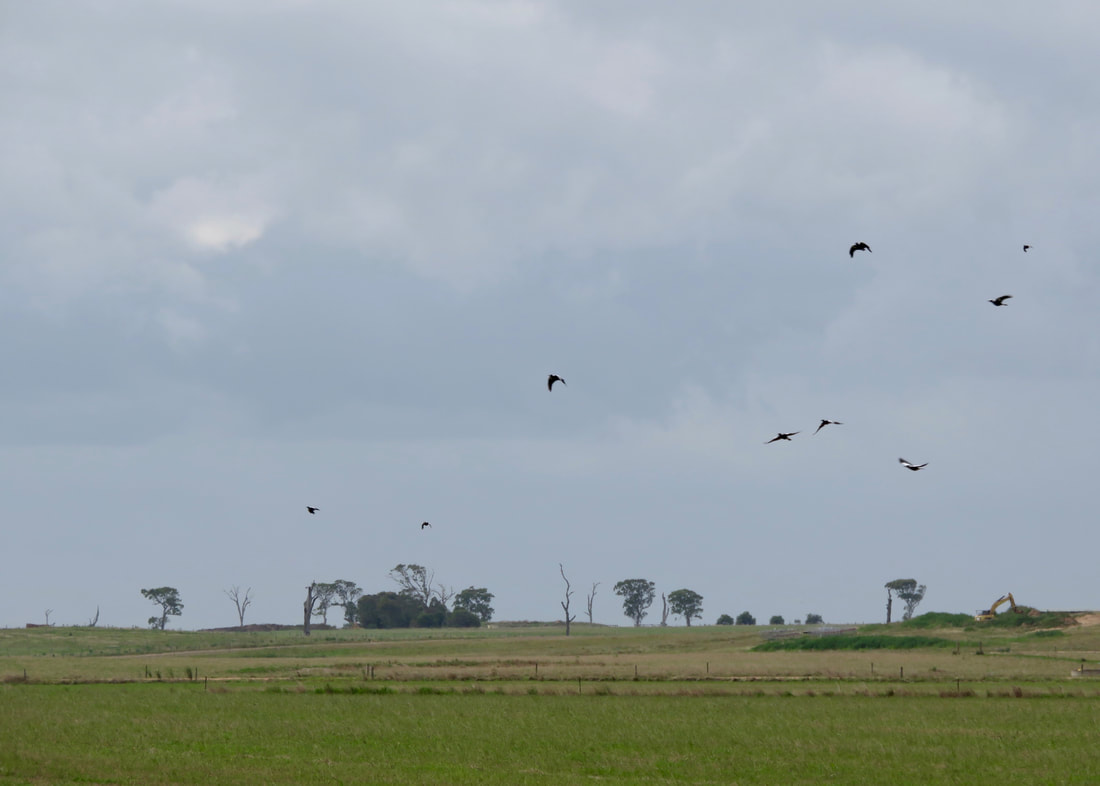
There were lots of little birds out on the return walk. We saw heaps of wrens, a few red browed finches, an eastern (yellow breasted) robin, a rufous whistler (pleased I could identify this after our walk at Holey Plains), fantails and even something that may have been a goldfinch - as well as the usual bigger birds, such as magpies, wattle birds, a shrike thrush, wood ducks (aka maned ducks), a heron and crimson rosellas. There were a few I couldn’t identify and I didn’t get a good enough look at them to check later, but that just means more birds to find out about another time.
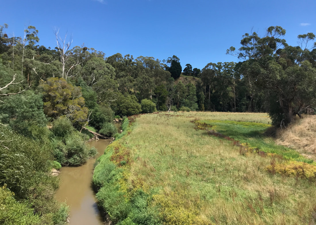
A bend in the Tarwin River. There were some nice views along this walk.
We hobbled back to the carpark and I was very thankful for a sink with a good tap so I could wash my face and drink water until I could feel my cells starting to unwrinkle and rehydrate!
Notes
In terms of speed and distance, we were just edging over 2 hours for the eight-point-something kilometres each way, spot on for my 4km per hour standard. We didn’t have big packs, and it was easy walking. At one point I thought it might have been useful to bring my sticks, just to give my feet a bit of a break. I’ll need to remember to take them on more walks!
My feet hurt. That second toe on my right foot has never really recovered from bashing it on a brick a few months ago and I should probably get it checked out as Dr Google seems to think the options are either a fracture or arthritis. I also didn’t tape my toe, but I didn’t get a blister. Dan kindly rubbed my feet that night and the next day I was fine. (I always get surprised when a foot massage makes that much difference, even though it consistently does! I need to build a foot rub into my post-walk schedule… Dan???)
There was slightly (and I do mean slightly) more variation in this trail, and I did a few minimal stretches for my legs and back. This seemed to keep me pretty pain free. My lack of energy in the second half of the walk was probably mostly because I slept really poorly the night before. Not even the coffee at lunch really helped when all I wanted to do was lie down in the shade and have a sleep. (And I probably would have, if we’d found a good bench earlier on!)
This walk is at least in part on the unceded Country of the Bunurong People. The rail trail also traverses the unceded Country of the Brataualung (Gunaikurnai) People. This always was and always will be Aboriginal land.
 RSS Feed
