IN WHICH I
  • ... Write
  • ... Explain

Share the love: Maps for microadventures

2/2/2015

2 Comments

 
On the weekend, I asked Twitter where I could find a map showing all the long distance paths in the UK. Lots of people got in touch with suggestions (thanks everyone!) so I thought I’d collate them here, along with a few other useful maps and resources for longer walks, cycle trips and microadventures.
  • Open Cycle Map - long distance trails
This map uses Open Street Map data and lists long distance paths. You need to zoom in fairly close to see the path labels, though. As with other Open Street Map data, you can map and add any trails that are not listed. Thanks to Cottenham Cyclist (@cotnm) for this suggestion.

  • Waymarked Trails: Hiking - long distance trails
Again, this uses Open Street Map data and lists long distance paths. While once again only the major routes (European, National Trails, plus a few others) are visible when zoomed out, there is more detail and clearer labelling at a large scale than with OCM and I find it easier to use. Thanks to Cottenham Cyclist (@cotnm) for this suggestion, too.

  • Walk Highlands - free 1:25000 OS maps
This is a great resource, which allows you to map a route using OS map data and download a GPX file of your planned walk/cycle for your phone or other device. If you sign up, you’ll get an email every few weeks with links to walk reviews, gear reviews and other interesting things. Don’t worry, it’s not spammy. If you're new to long(ish) distance walking, you might also be interested in my "how to plan a walking holiday" post.

  • Where's the Path - maps and satellite images
Where's the Path has a split screen set-up, so you can look at an OS maps on the left and Google satellite view on the right (for example). You can also overlay either side with a weather map, OSM data, open access land map and more. This is a good tool for comparing your map with something a bit more ‘realistic’ if you’re scouting for private resting spots and so on. Thanks to Mike (@english_lakes) for reminding me of this site.

  • Harvey's Long Distance path Chart - paper map
Online maps are great, but sometimes I just want a nice big paper map to spread out on the floor. This map from Harvey would seem to fit the bill - and you can stick it up on the wall if you're into that kind of thing! Note: I haven’t bought a copy, so I can’t vouch for the content. If you have one, maybe you could tell us about it in the comments? Thanks to LAMB (@sixsecondshigh) for suggesting this.

  • Harold Street - trig points
An online map of all trig points in the UK. By their nature, trig points tend to be on tall hills and they often have good views. Worth a look. The website layout is not good, but you can find trig points in your area by clicking on the relevant square on the map in the left hand sidebar.

  • Slope Hunter - hills and slopes
This is a site for model aeroplane/glider enthusiasts, which lists a number of good slopes for flying such contraptions. Handily for microadventurers, these are usually places with (a) access and (b) great views. I discovered this site via @AnnaMcNuff: you should read her microadventure resource post, too.

  • Woodland Trust - woods
A map of woodland in the UK, including those owned by the Woodland Trust, Forestry Commission and others. Specify a location to browse woodlands in the area. There are a couple of annoying display bugs, but this is still useful if you're looking for a woodland site. Hopefully it will improve as people contribute more information and the charity works on the site.

  • Cool Camping - camp sites
If you’re really not keen on wild camping (maybe you like to have a toilet, shower and a kitchen close to hand), there are plenty of great campsites listed here. Also, if you’re dreaming of something much more luxurious, you can try their glamping listings, where yurts, shepherds huts, tiny houses and other delightful dwellings abound.

  • Alastair Humphreys - plan a microadventure
Of course, @Al_Humphreys has all the lowdown on how to go microadventuring. After all, he wrote the book on microadventures (which you should buy)!

  • Honorable mentions
You might also find these sites helpful and/or inspiring: the National Trails website; Sustrans/National Cycle Network map; the Long Distance Walkers Association; Natural England's open access countryside search; and Ramblers Routes (sign up for free). Some councils and unitary authorities also have up-to-date information on footpath diversions and closures on their websites (e.g. East Sussex County Council's rights of way map).
Colourful heather, blue sea and sky
"Coast path near Towanroath shaft" - Thomas Tolkien
Footpath sign
"Public footpath" - Graham Keen
Woods, fields and mist
"Wonastow in Autumn" - Keith Moseley
View from hill
"Trig point on Dumgoyne" - Zoe Shuttleworth
Path through heather
"Mallaig" - Danial Chitnis
Footpath sign
"London Loop Section 5" - Sue Kellerman
Paraglider and view from hill
"Untitled" - Carron Brown
Two trees glowing in the sunset
"Severn Valley, Gloucestershire" - Kumweni
Cove, cliffs, turquoise water
"Portheras Cove" - Jim Champion
Path and stone walls
"Path to Pen-y-Ghent" - Joe Dunckley
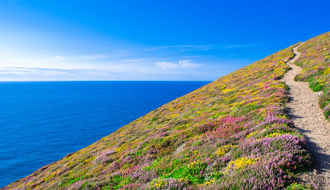
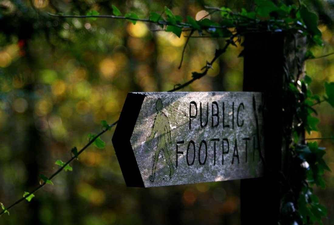
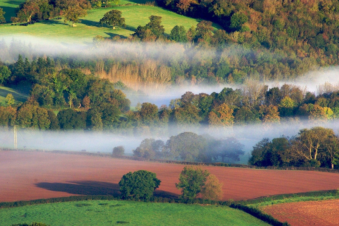
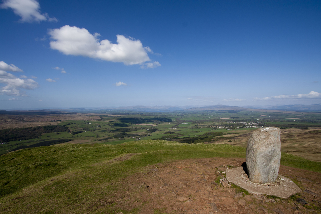
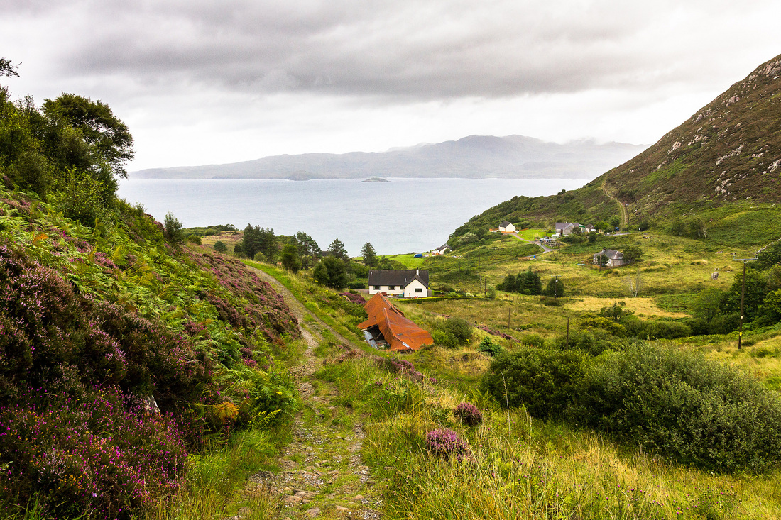
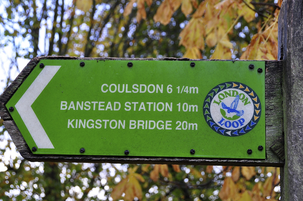
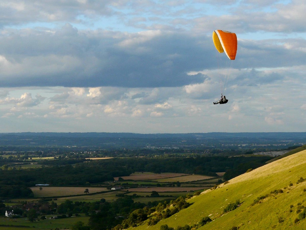
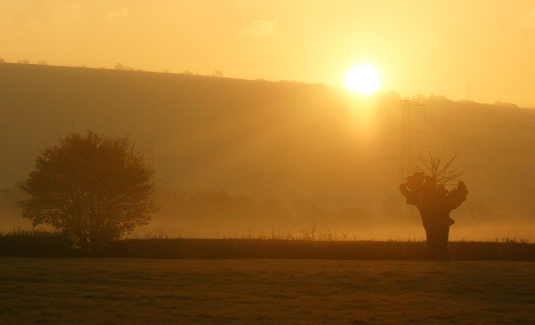
(All images are licensed under Creative Commons. Click the captions to find the original sources.)

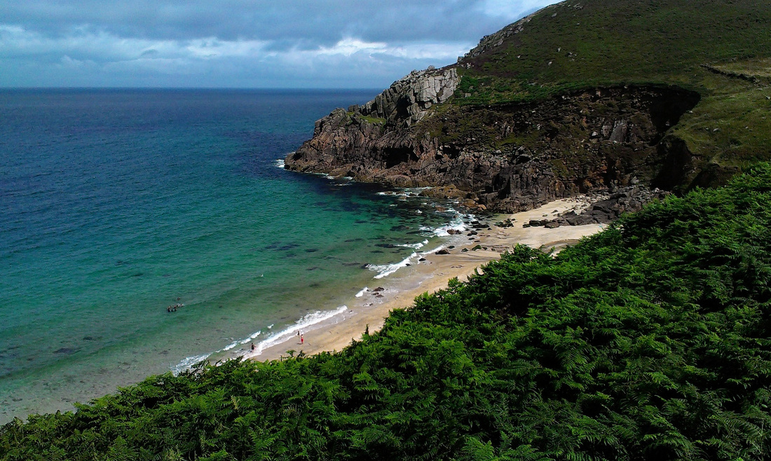
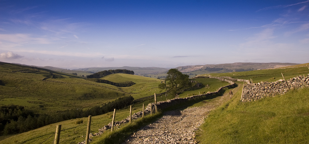
How do you plan your microadventures, long walks or cycle trips? This is a UK-centric list and I'm interested to see what resources are available in other parts of the world, too.

2 Comments
Saira link
10/5/2017 06:05:29

Absolutely love this comprehensive list of every map an outdoor enthusiast could possible want!

Reply
Jonathan link
10/5/2017 20:36:45

Thanks, Saira! Hope you found it helpful.

Reply

Your comment will be posted after it is approved.


Leave a Reply.

    In which I

    In which I do things and write about them

    RSS Feed

    In which I tag

    All
    #30DaysWild
    Art And Architecture
    Audio And Music
    Australia
    Battle Observer
    Birmingham
    Books And Stories
    Bristol
    Buckinghamshire
    Cambridgeshire
    Cooking
    Cycling
    Devon
    East Sussex
    Eating And Drinking
    Film And Video
    Foraging
    Gardening
    Gippsland GunaiKurnai Country
    Grand Union Canal
    Hastings Independent
    Hertfordshire
    Heysen Trail Prep
    Housekeeping
    Imagining
    Interviewing
    Kent
    Lake Field
    London
    Manchester
    Marketing
    Melbourne Wurundjeri Country
    Microadventure
    National Trust
    Netherlands
    Norfolk
    Northumberland
    Paddling
    Q&A
    Reporting
    Review
    Share The Love
    Sheffield
    Snowy River
    Somerset
    South Gippsland Bunurong Country
    Suffolk
    Swimming
    Tea
    Victorian High Country Jaitmathang Country
    Victorian High Country Taungurung Country
    Wadawurrung Country
    Wales
    Walking
    West Sussex
    Wiltshire
    Year Of Sleeping Variously
    Yorkshire

    In which I archive

    July 2022
    June 2022
    May 2022
    April 2022
    March 2022
    February 2022
    January 2022
    October 2021
    September 2021
    March 2021
    December 2020
    February 2020
    January 2020
    December 2019
    November 2019
    September 2019
    August 2019
    July 2019
    April 2019
    March 2019
    December 2018
    November 2018
    October 2018
    August 2018
    July 2018
    June 2018
    May 2018
    April 2018
    March 2018
    January 2018
    December 2017
    November 2017
    October 2017
    July 2017
    June 2017
    May 2017
    March 2017
    February 2017
    January 2017
    December 2016
    November 2016
    October 2016
    September 2016
    August 2016
    July 2016
    June 2016
    May 2016
    April 2016
    March 2016
    February 2016
    January 2016
    December 2015
    November 2015
    October 2015
    September 2015
    August 2015
    July 2015
    June 2015
    May 2015
    April 2015
    March 2015
    February 2015
    January 2015
    December 2014
    November 2014
    October 2014
    September 2014

Powered by Create your own unique website with customizable templates.