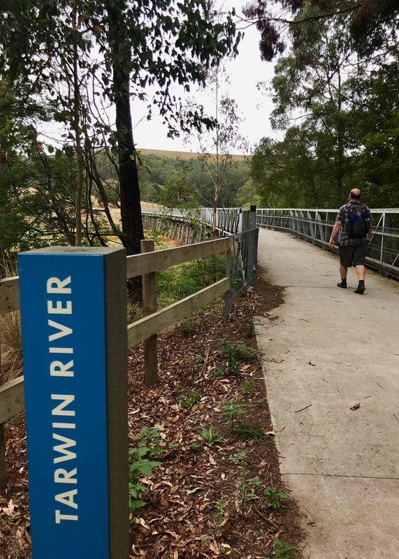
City edgelands, bush tranquility and flight paths.
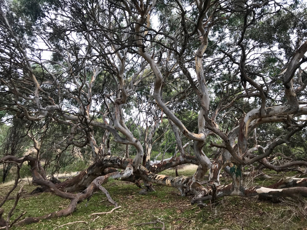
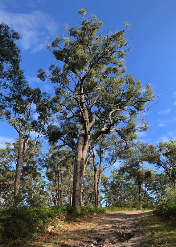
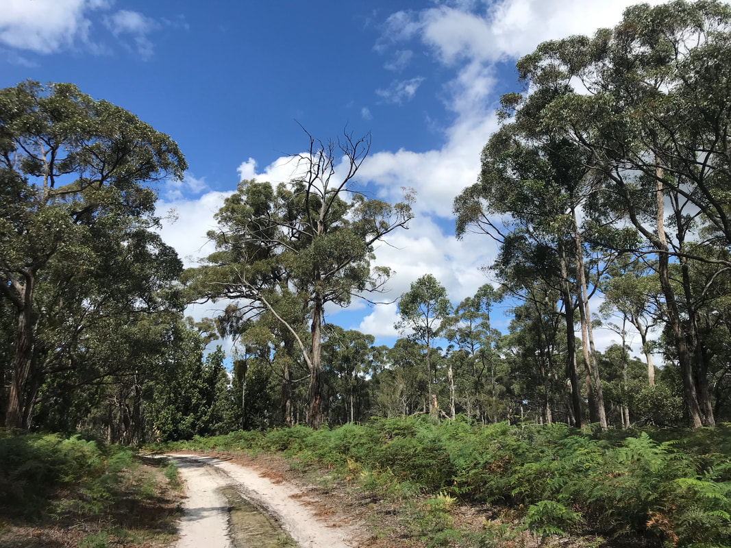
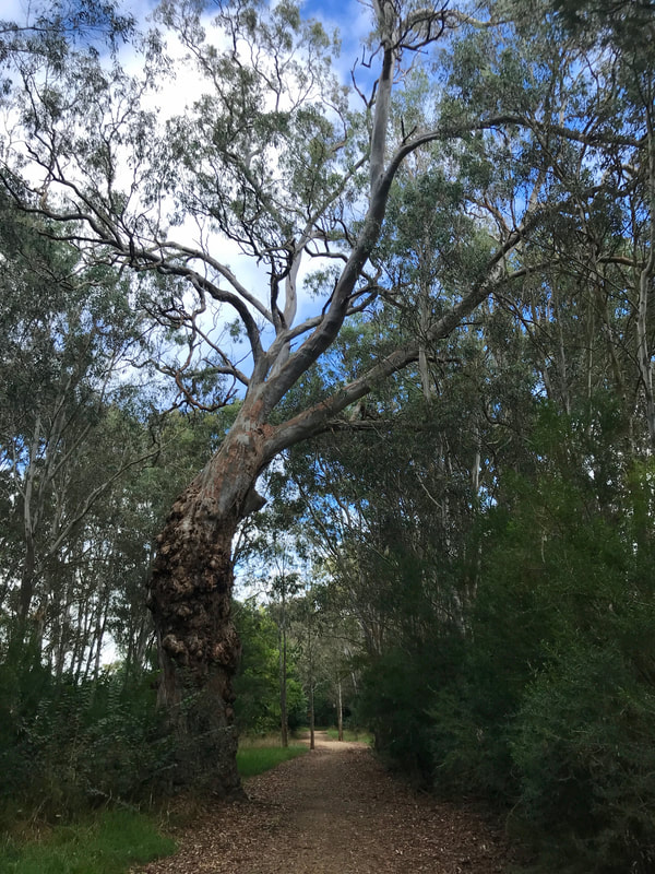
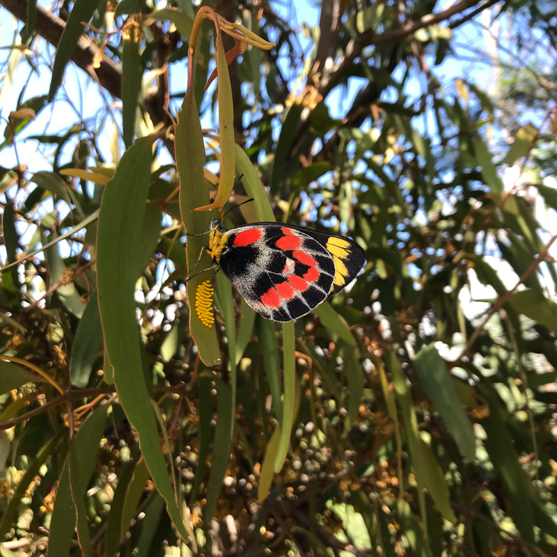
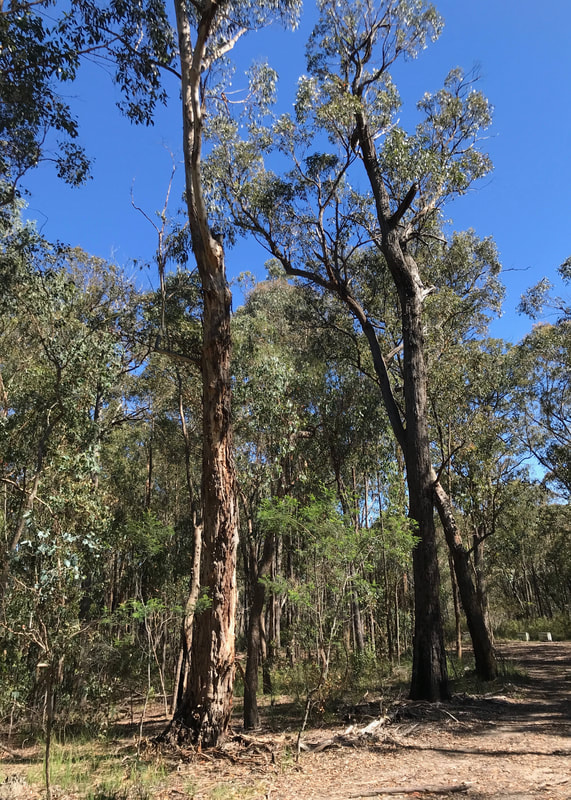
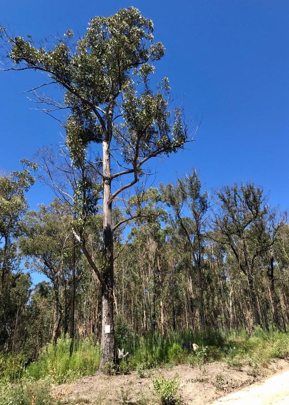
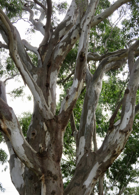
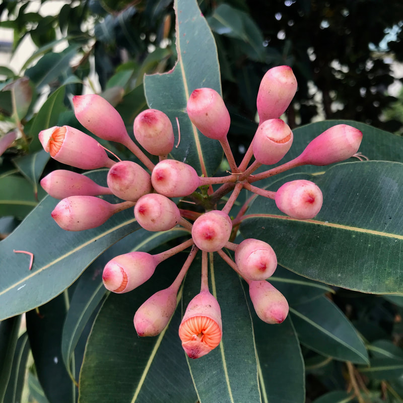
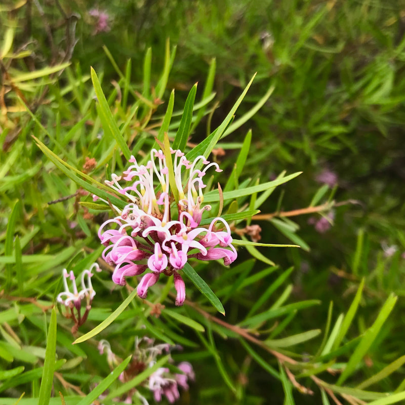
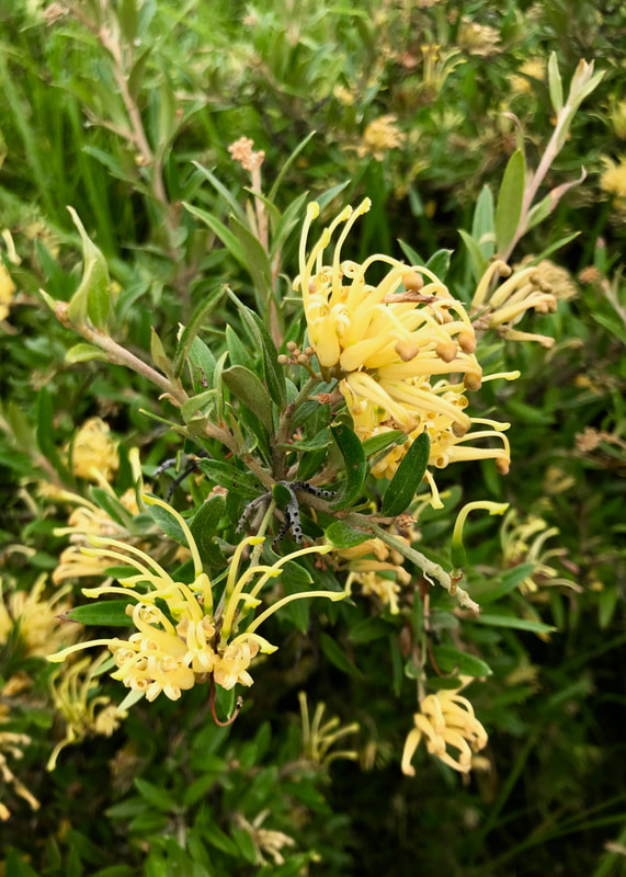
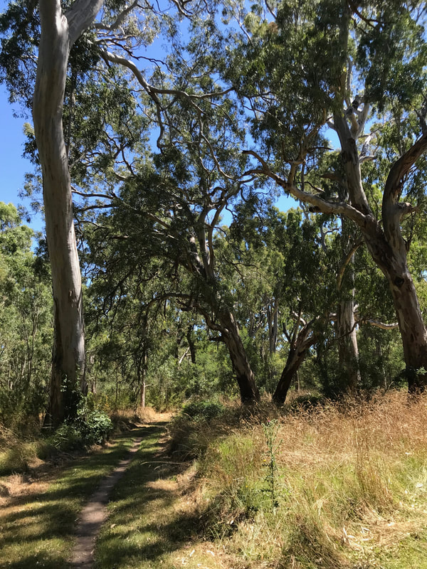
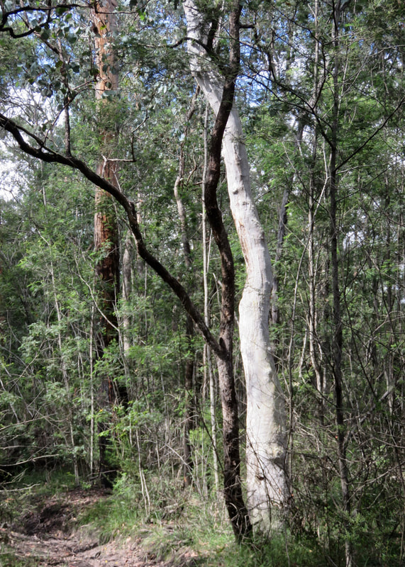
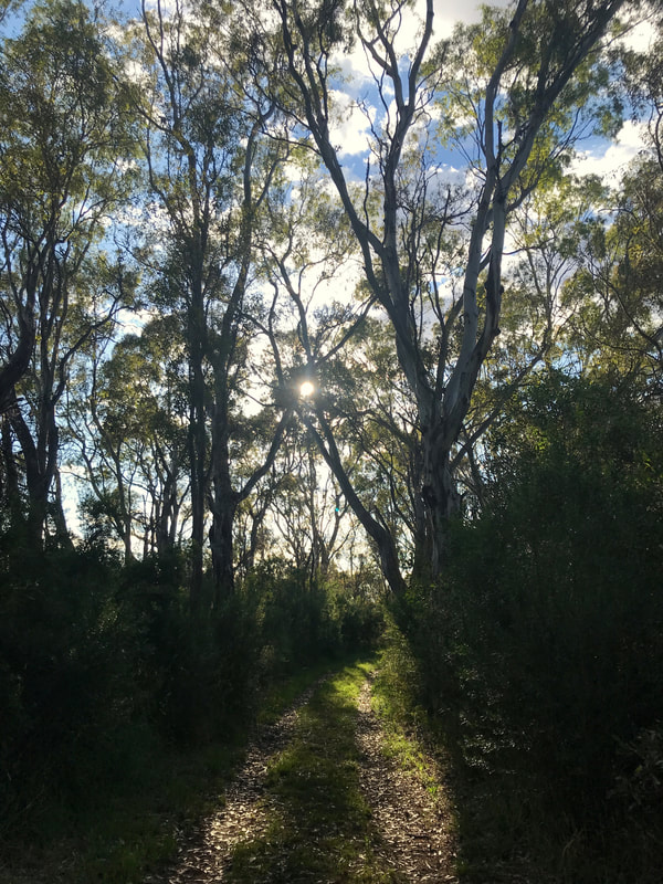
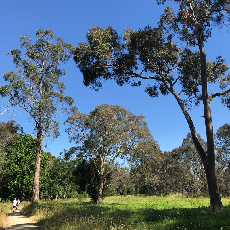
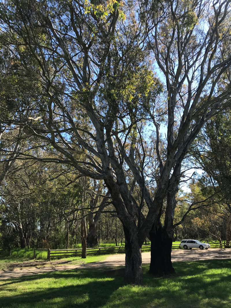
Tree of the year?! Woodlands Historic Park has loads of excellent eucalypts.
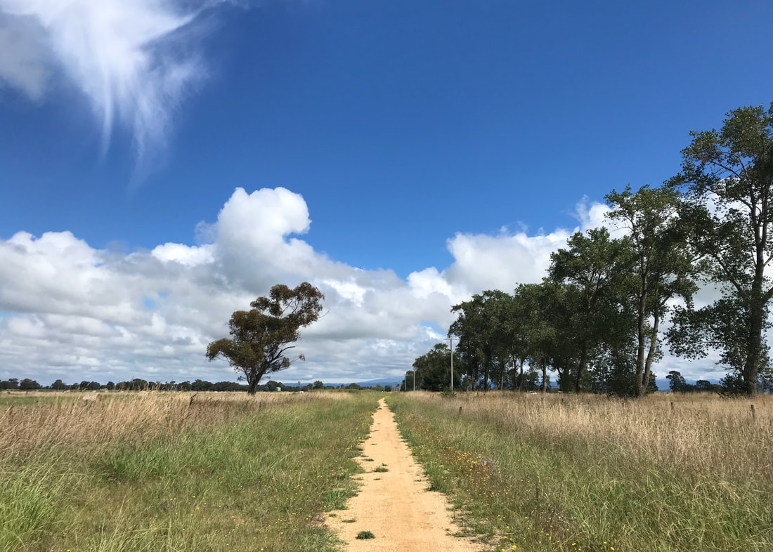
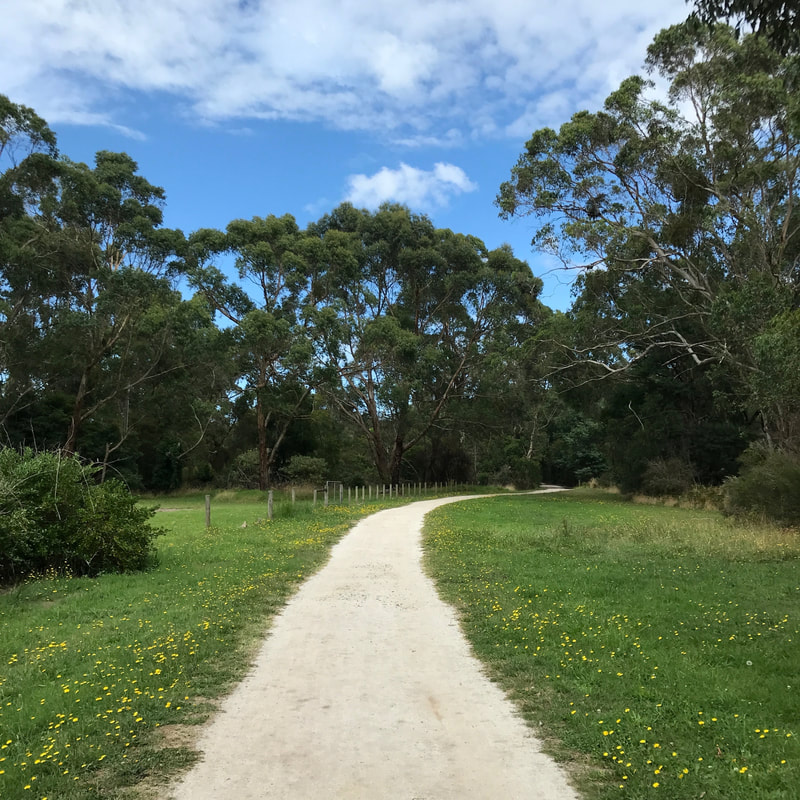
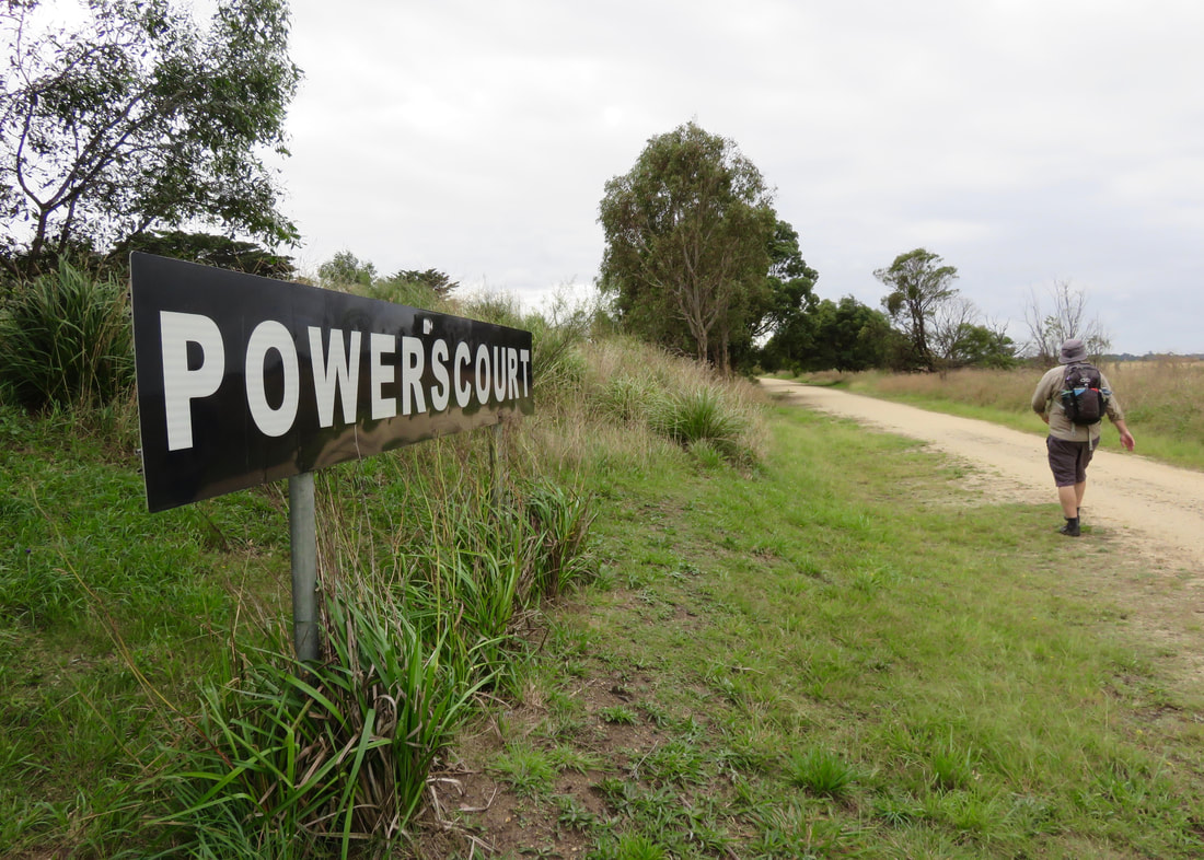
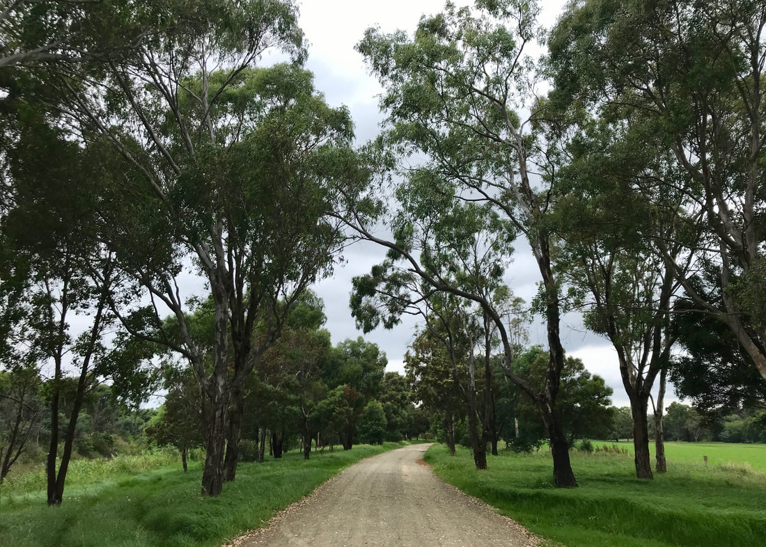
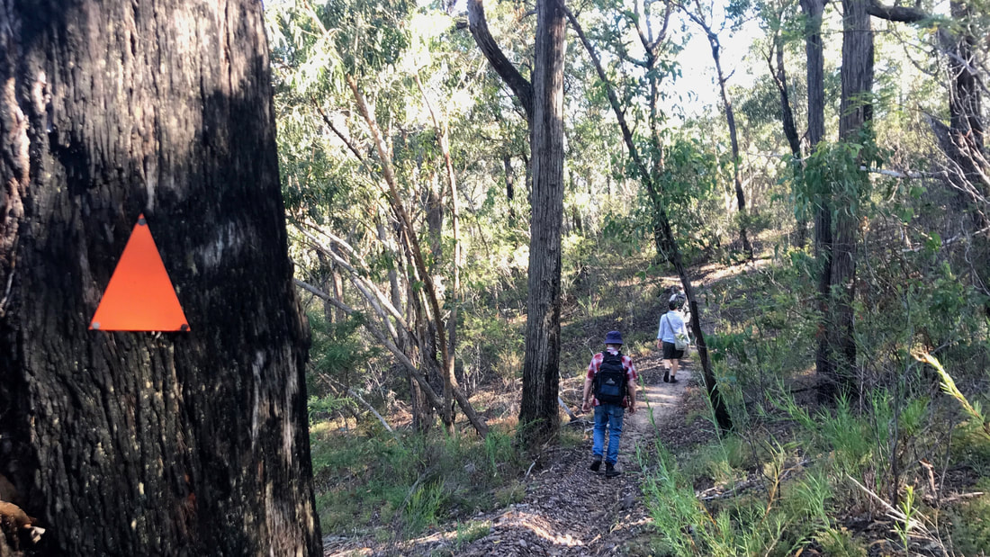
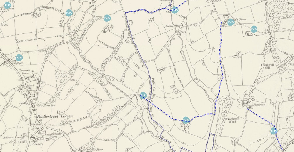
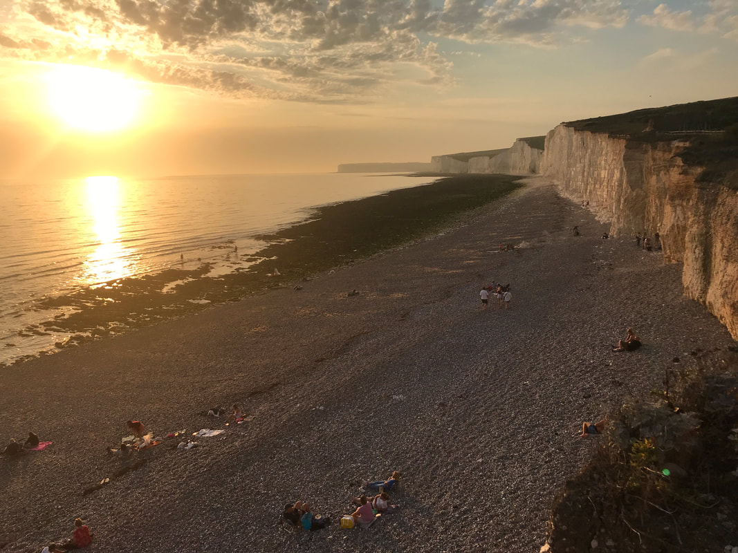
Dan and I had a few days in Melbourne cat sitting (and house sitting) for friends a few weeks ago. I thought we should make the most of it and get in a long walk somewhere a bit different. Not wanting to stomp out the entire distance on sealed tracks, I turned from the old faithfuls of the riverside and creekside trails. I checked AllTrails for routes in the area of around 20km, and one popped up that included a loop of Woodlands Historic Park. This seemed perfect, as it started a 25 minute drive from where we were staying and we’d only been to the park for a few short visits before.
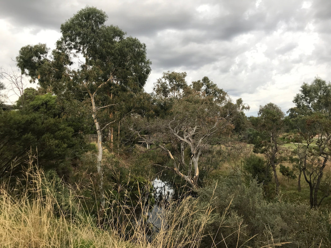
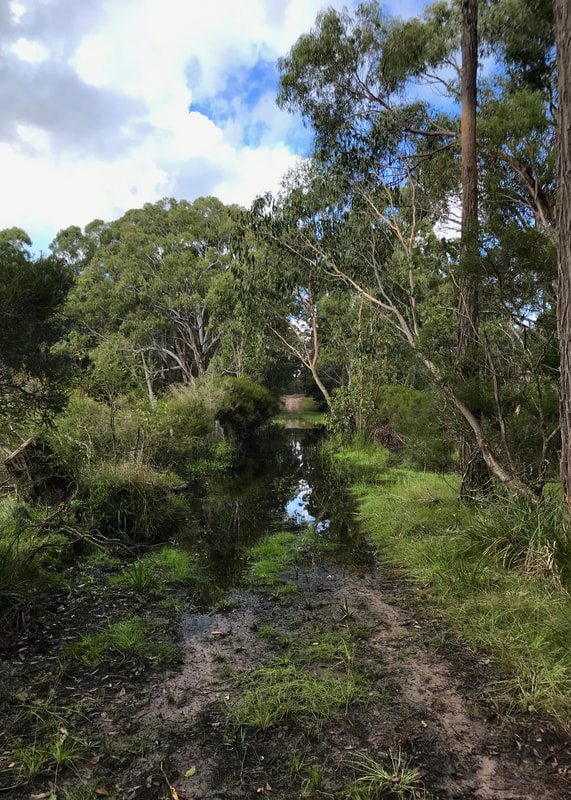
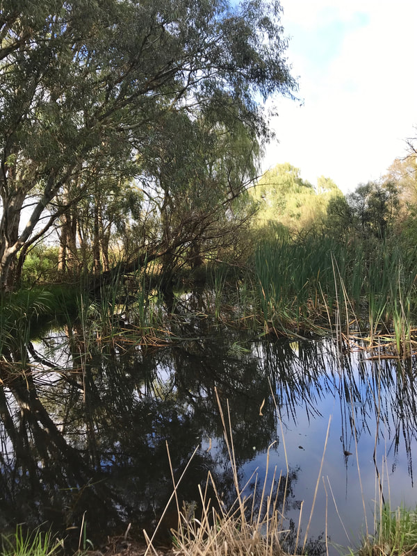
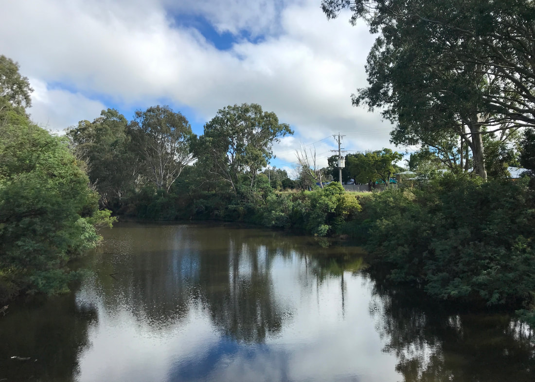
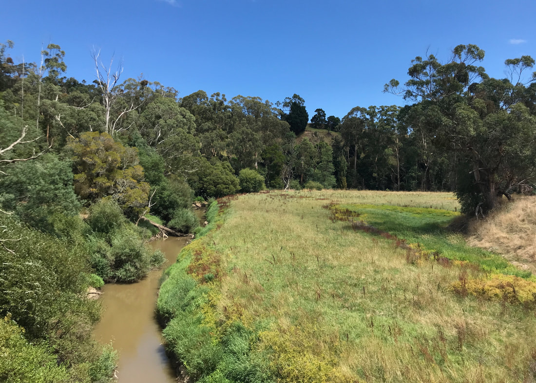
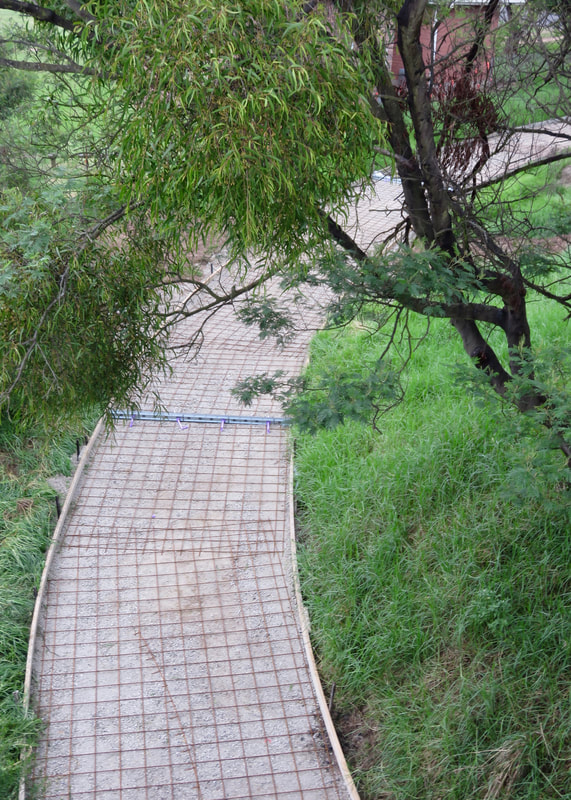
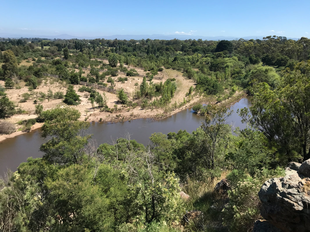
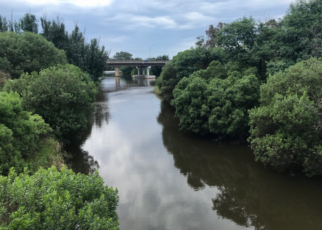
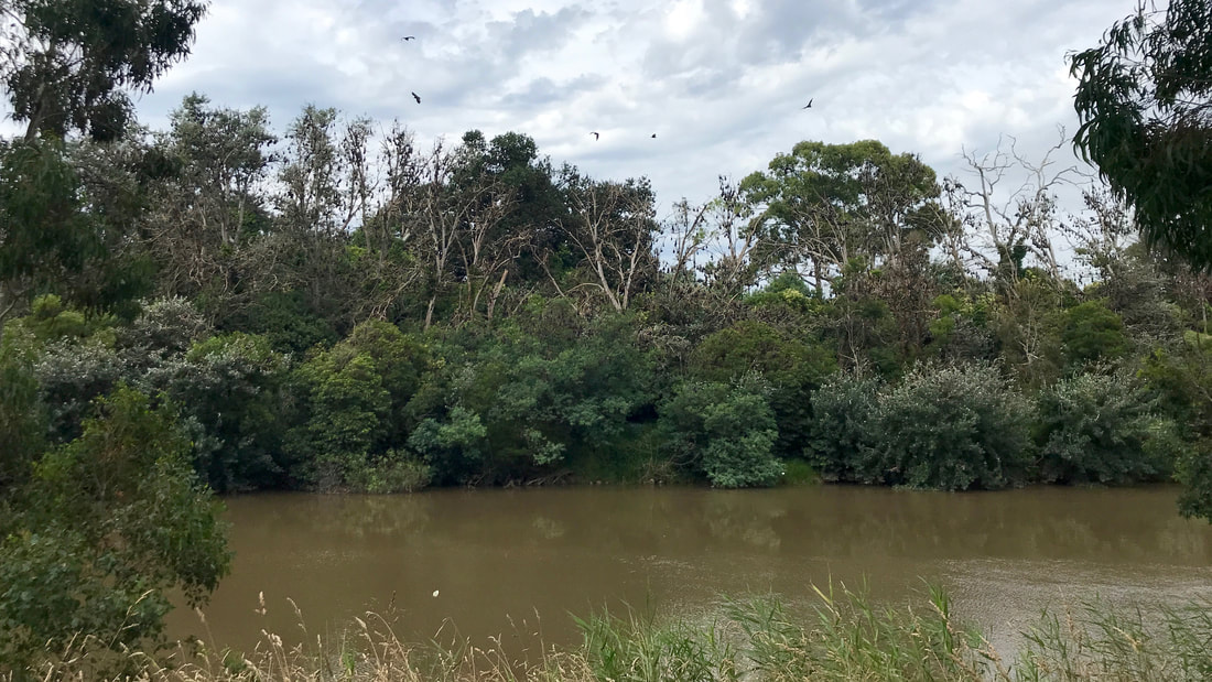
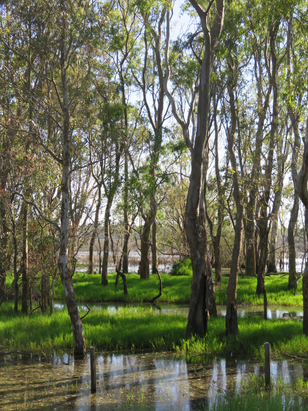
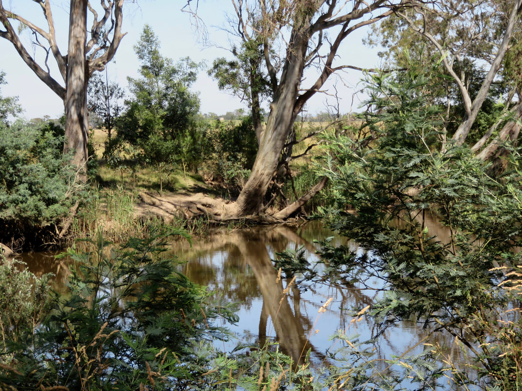
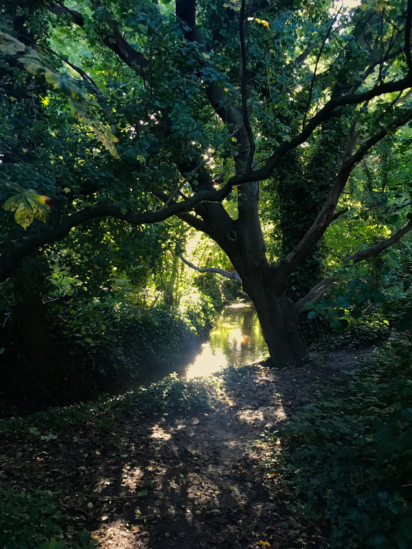
Moonee Ponds Creek near the start of the walk.
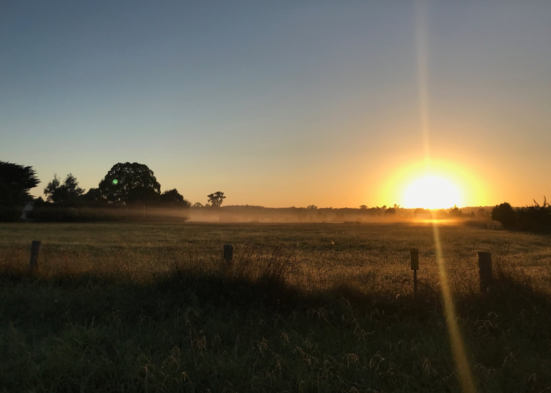
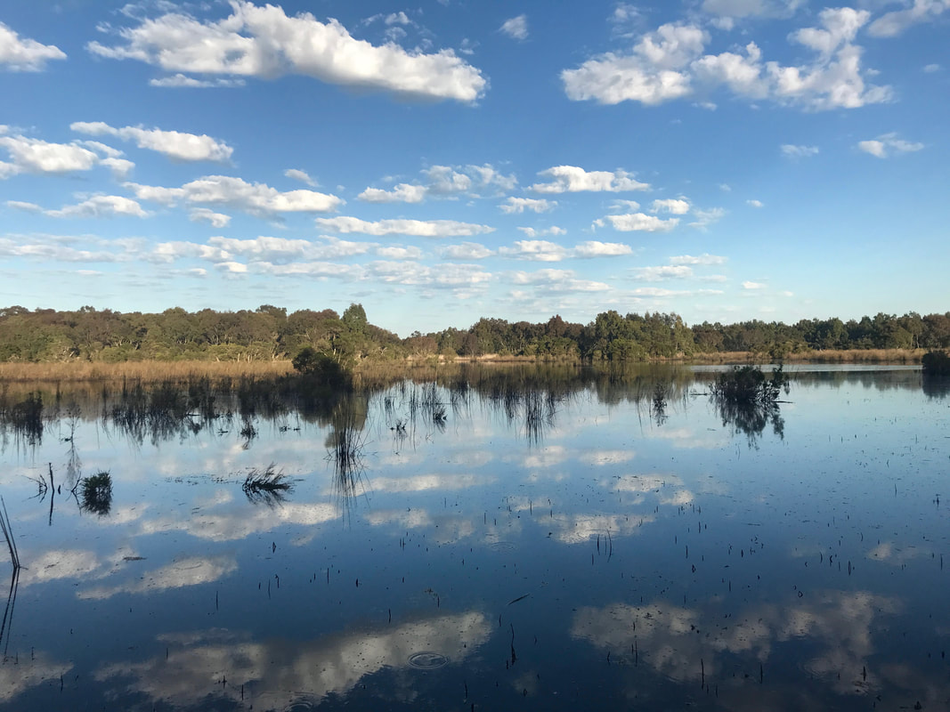
As the temperature was meant to get to 30 degrees by mid afternoon, we tried to get an early start. I wouldn’t say we failed, exactly. After feeding the cats, going to the supermarket for snacks and driving up to Willowbrook Reserve, we began walking at 7:50am. The sun had just risen on the way up, and we got some lovely pink clouds. (Red in the morning, shepherd’s warning... might mean rain?)
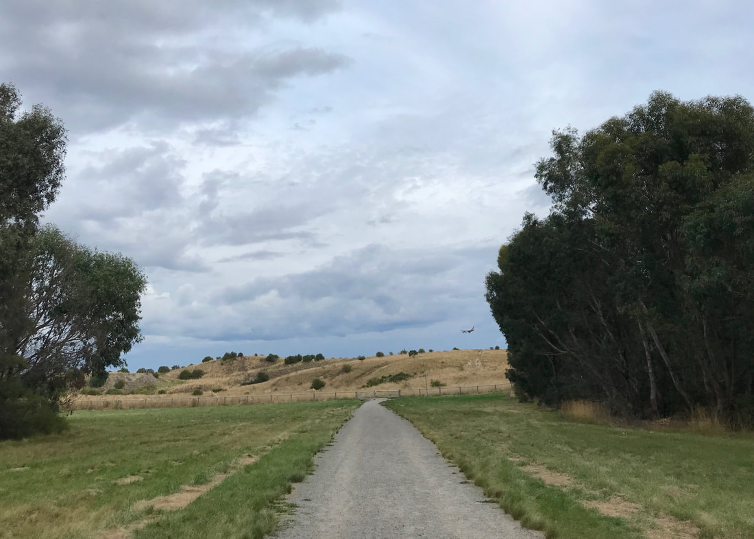
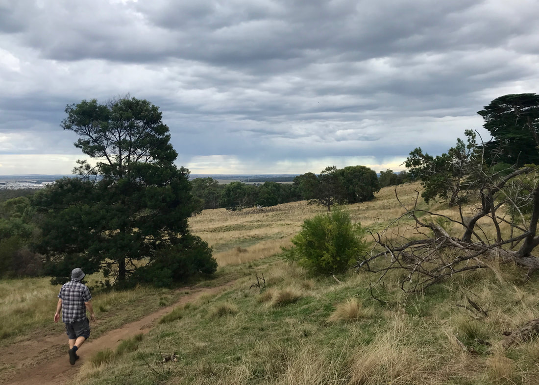
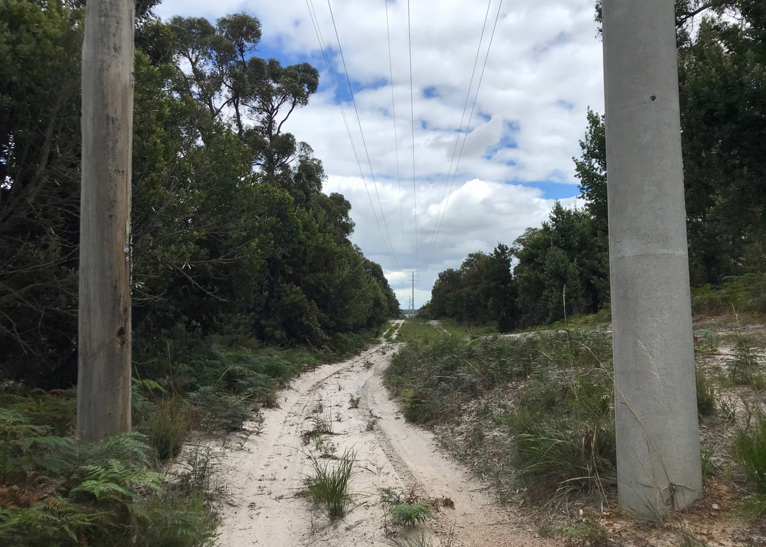
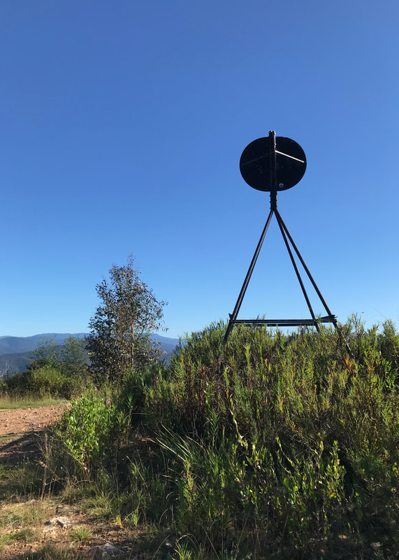
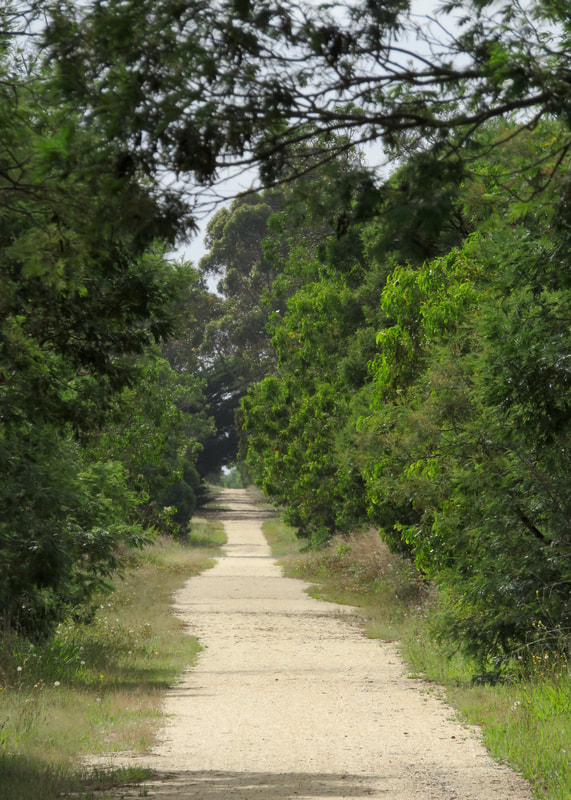
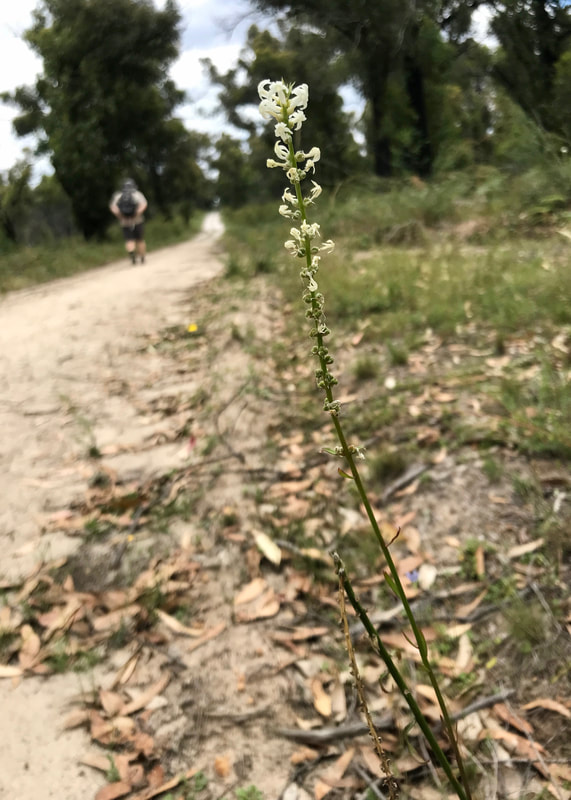
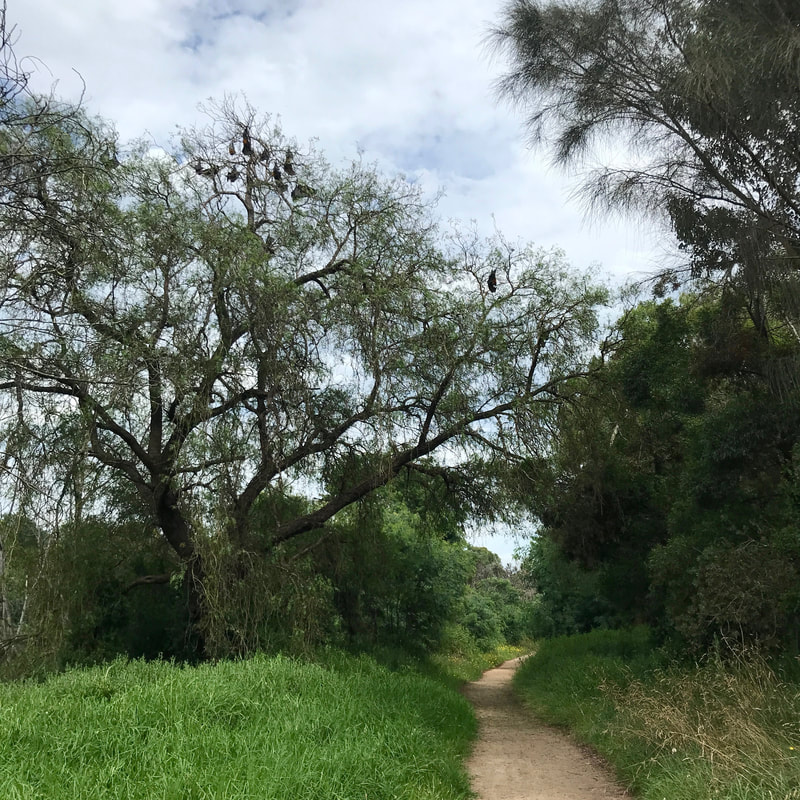
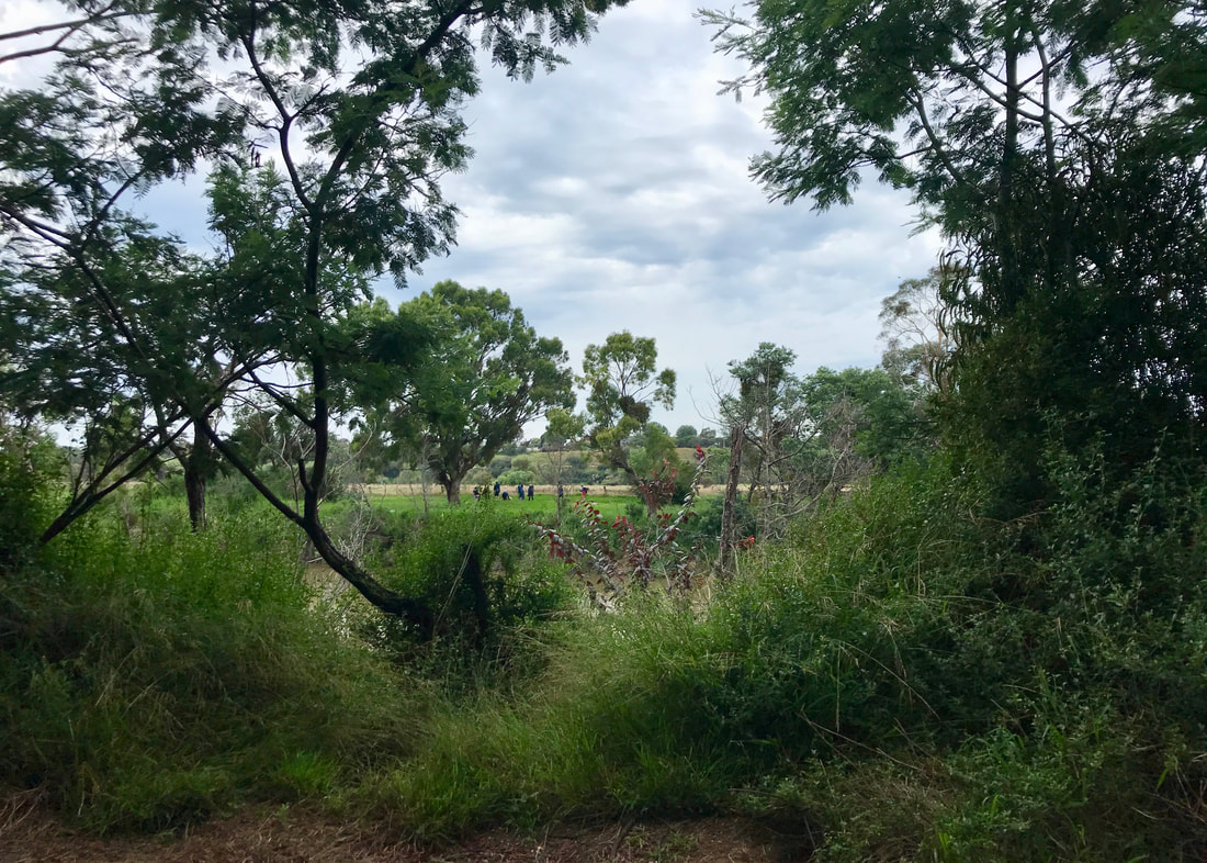
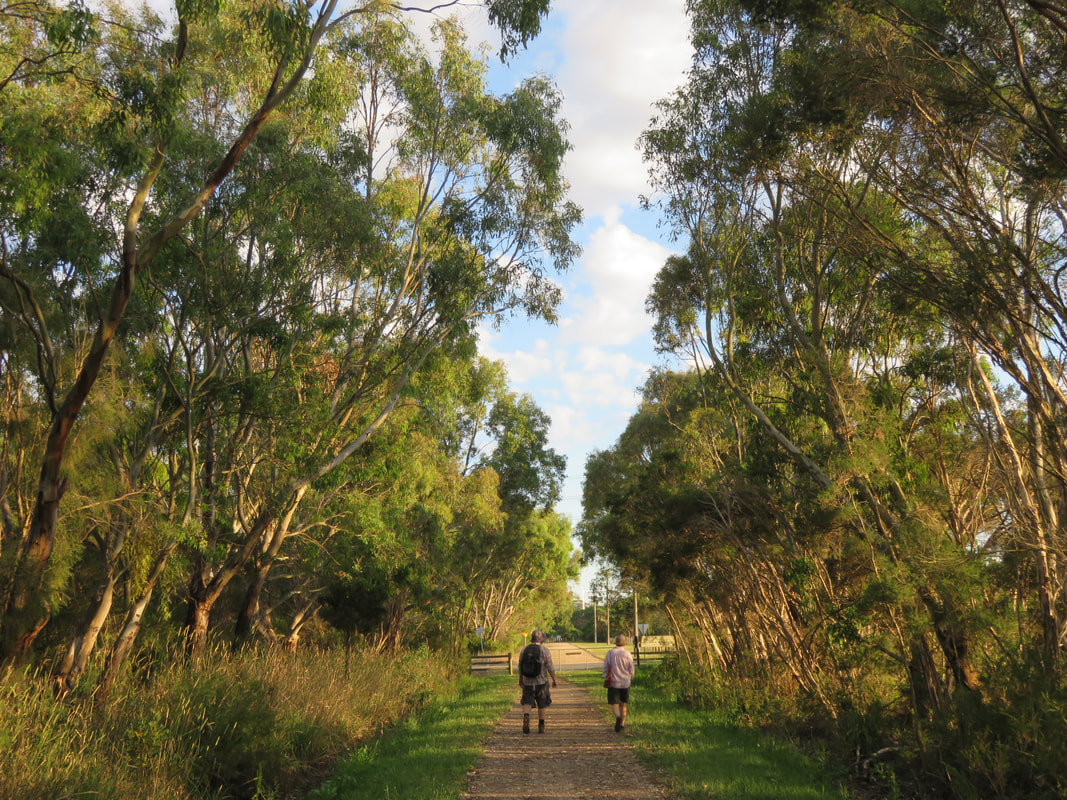
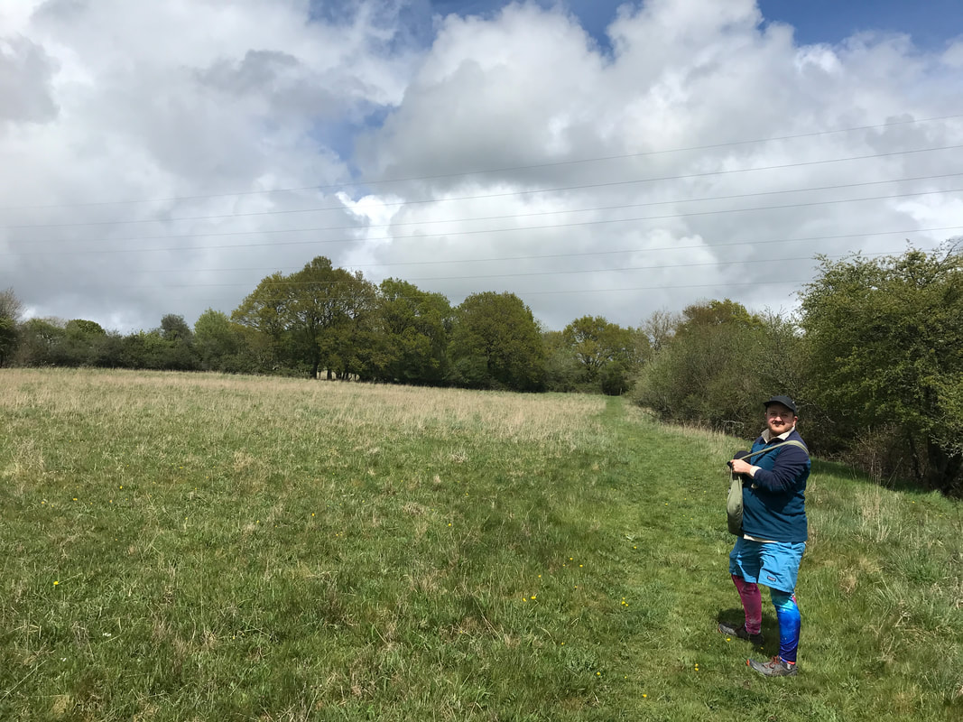
Just before turning off the path into the grassy area - you can see a plane coming in to land.
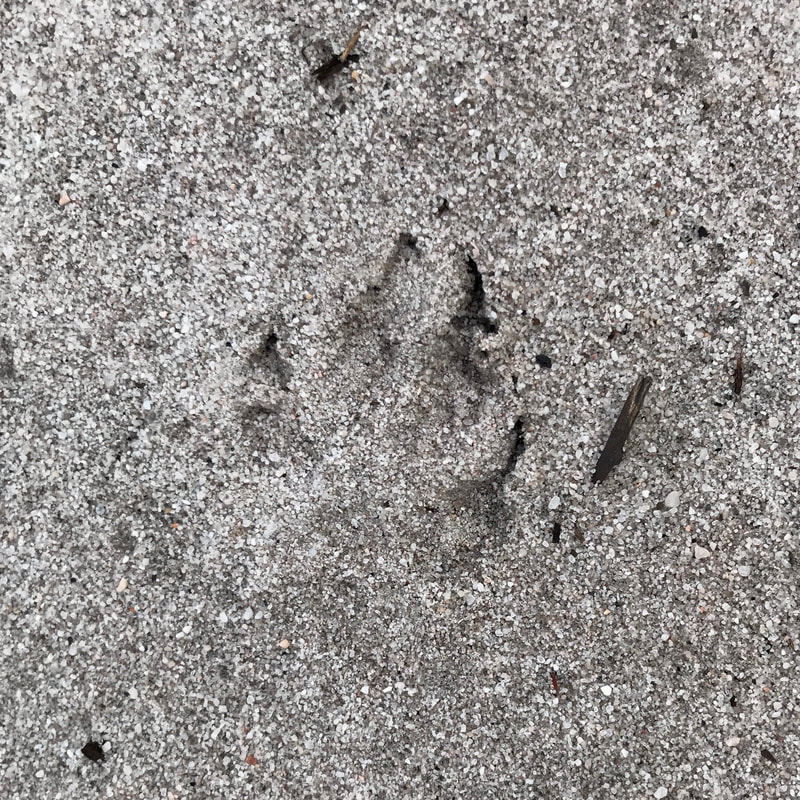
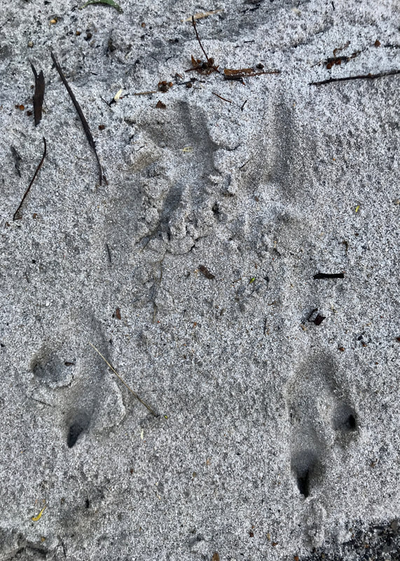
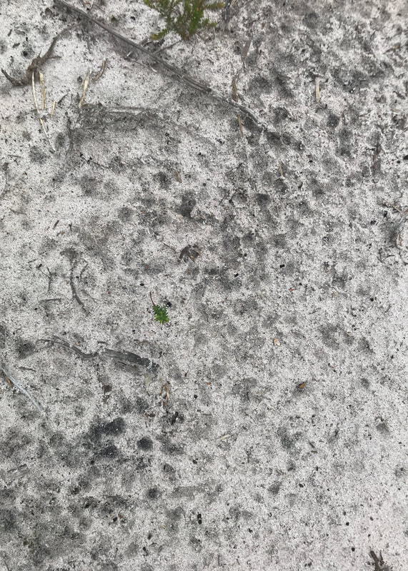
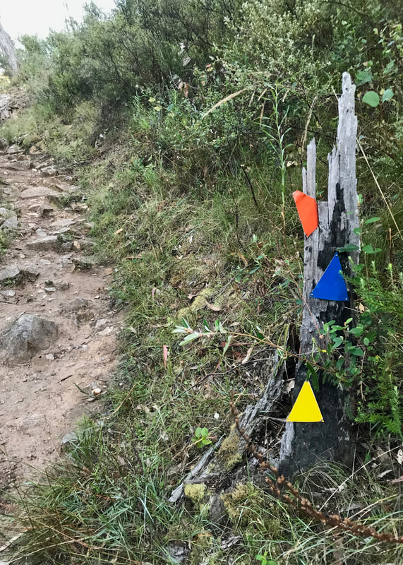
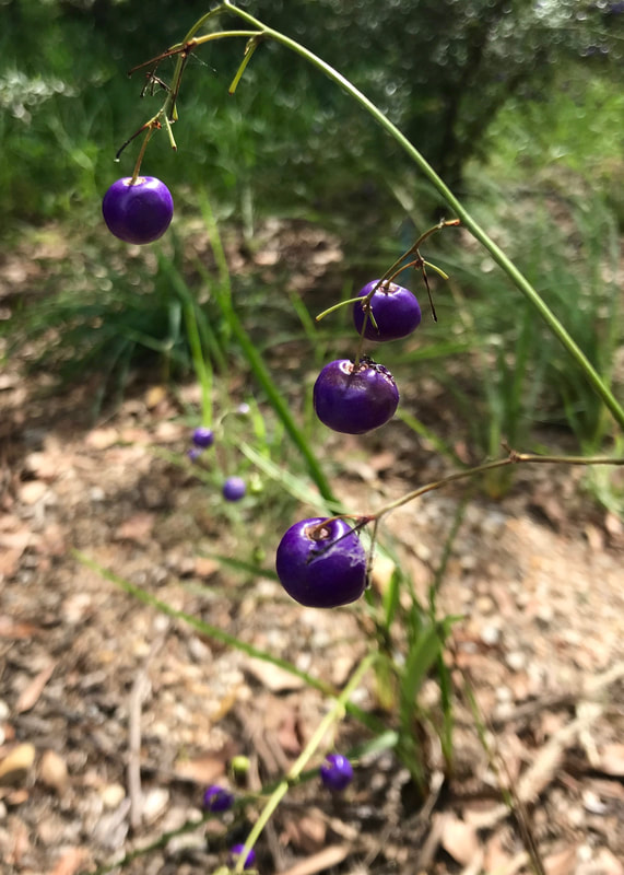
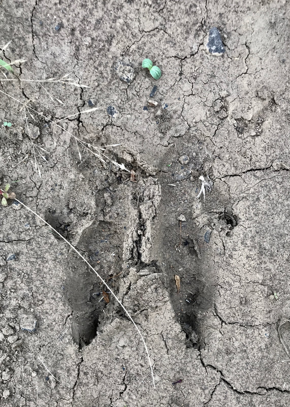 Kangaroo prints in the grey mud. | 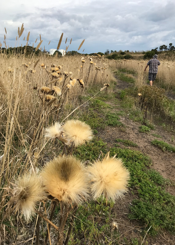 Thistles beside the rough track and silos in the distance. |
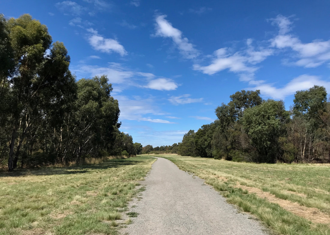
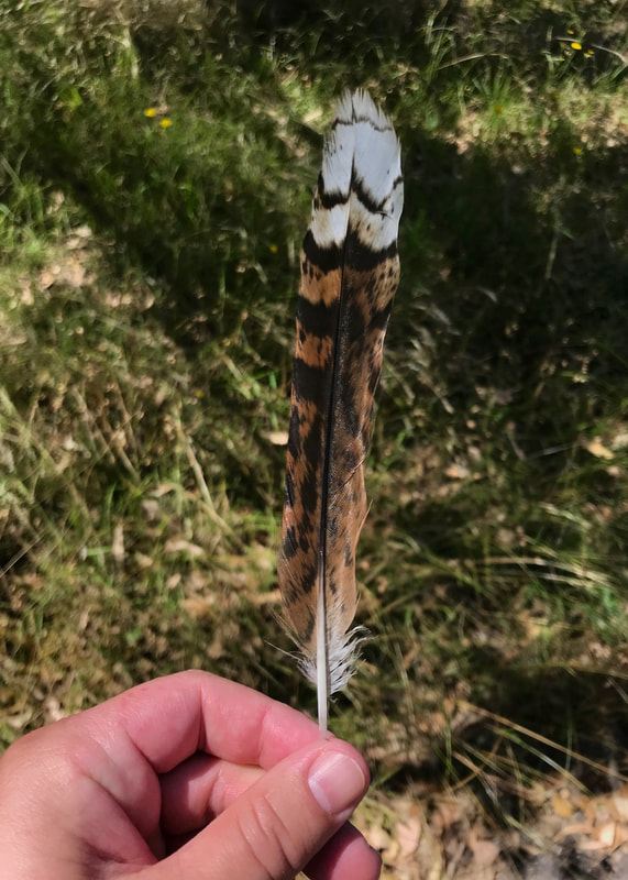
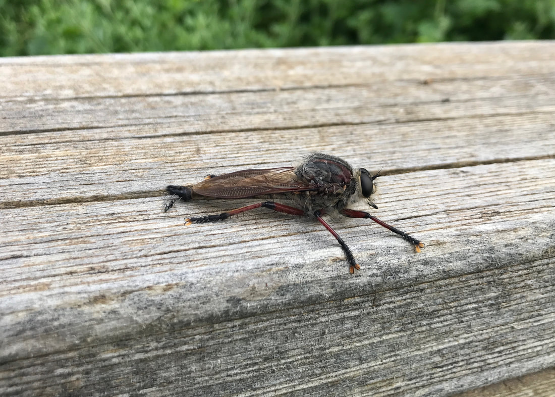
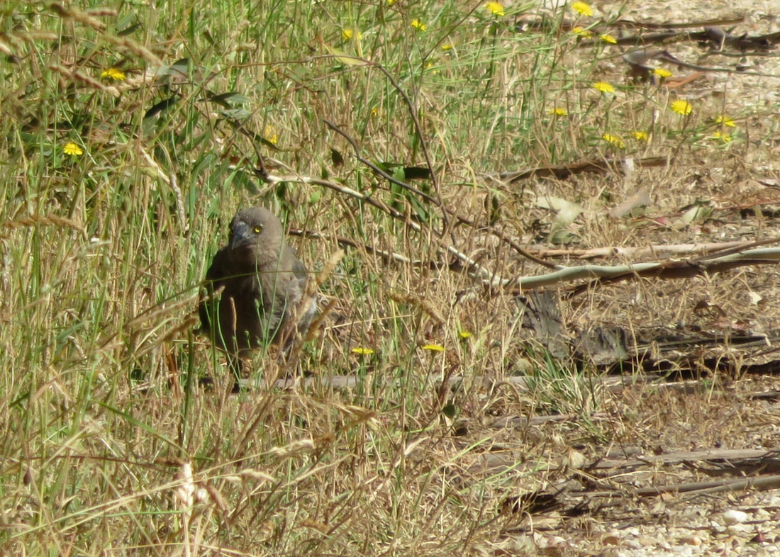
It was a nice, cool start along the Moonee Ponds Creek, snaking through suburbia on the manicured Moonee Ponds Bike Path. There’s been a lot of work done on the surrounds, with lots of new trees planted in the maybe 15 years since I was last here! We saw a wallaby across the creek, and a cat hiding behind a prickly pear. Dan wondered if a couple of birds we saw might have been kestrels - they were definitely birds of prey.
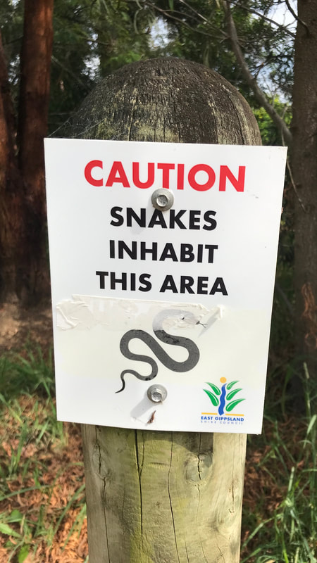
We ended up climbing through those low hills to get back on track. We could hear frogs here, so we were lucky not to encounter snakes!
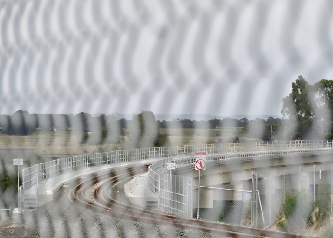
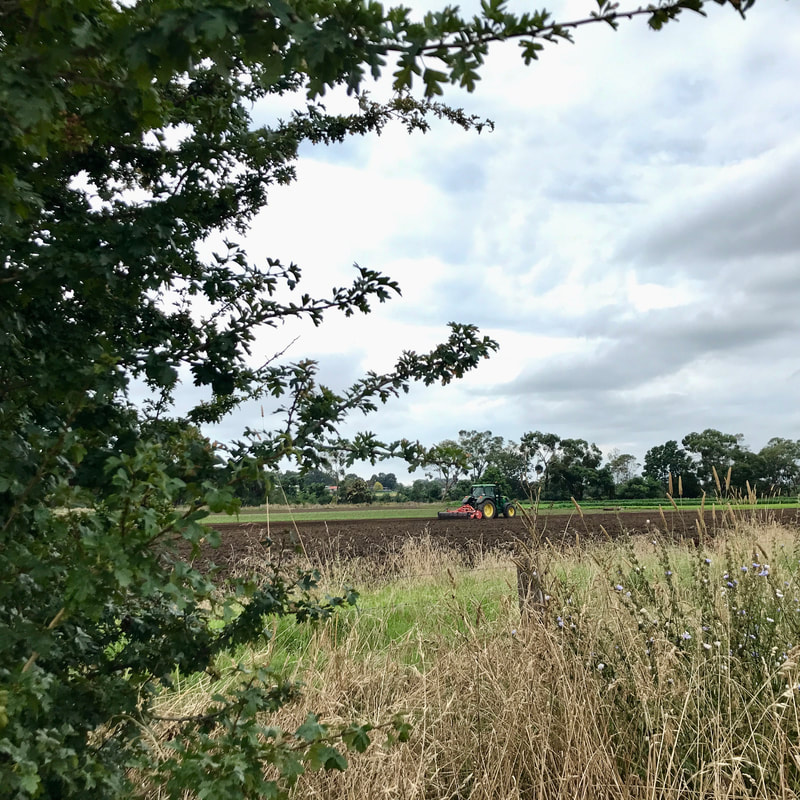
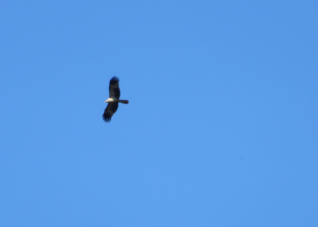
Getting a little height above the creek flats gave us some nice albeit loud views of the planes coming in.
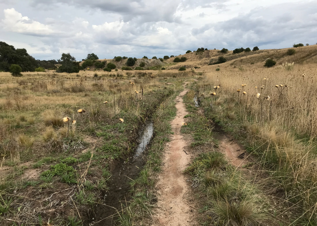
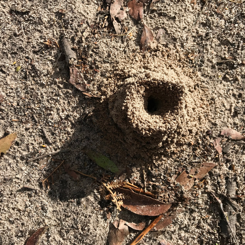
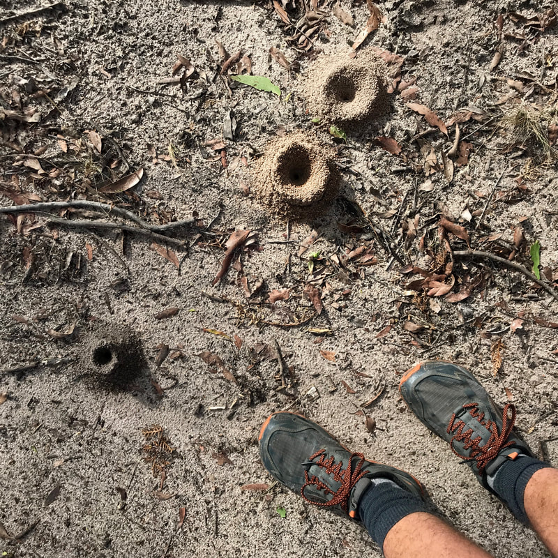
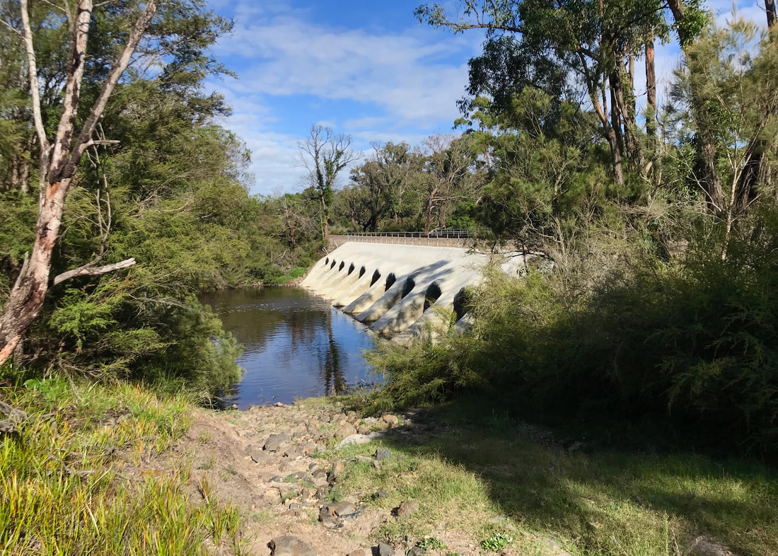
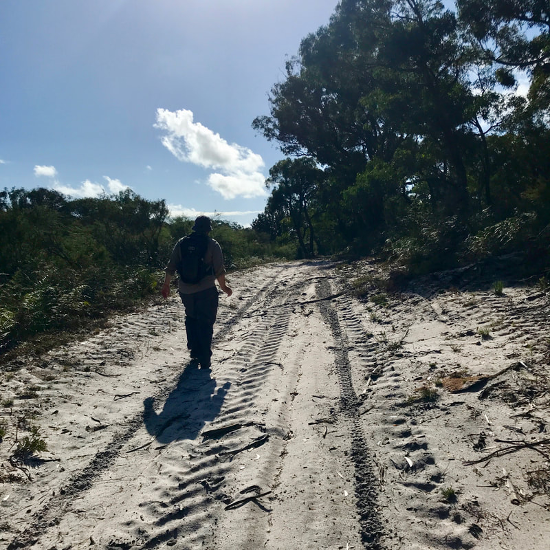
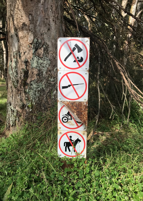
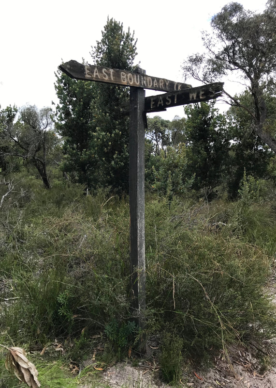
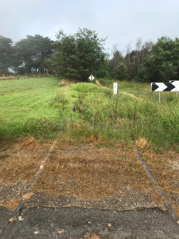
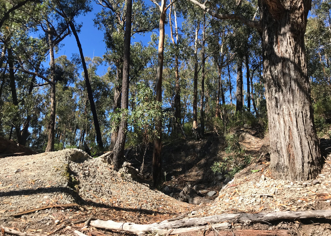
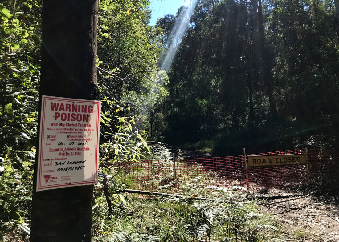
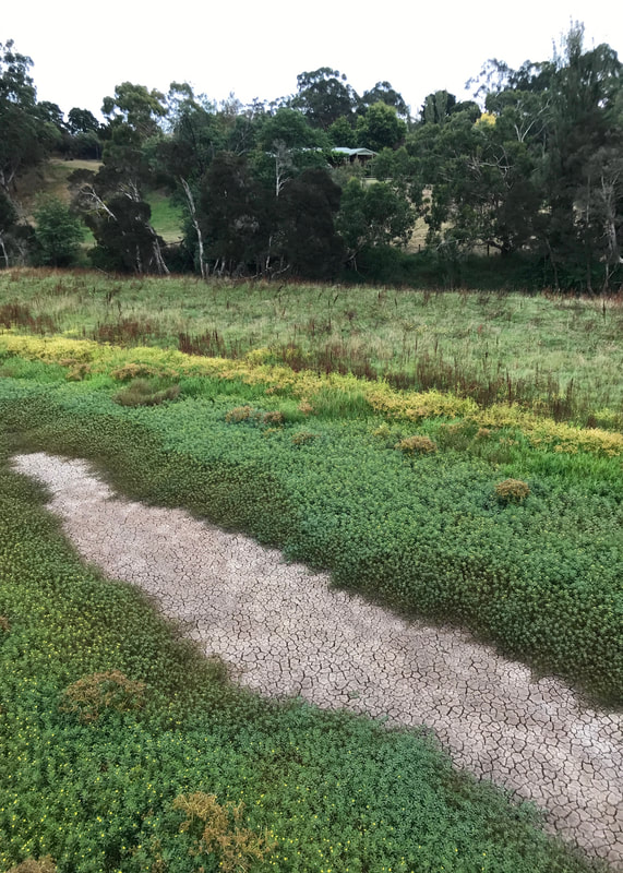
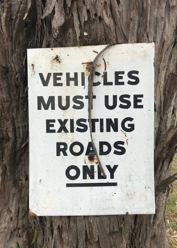
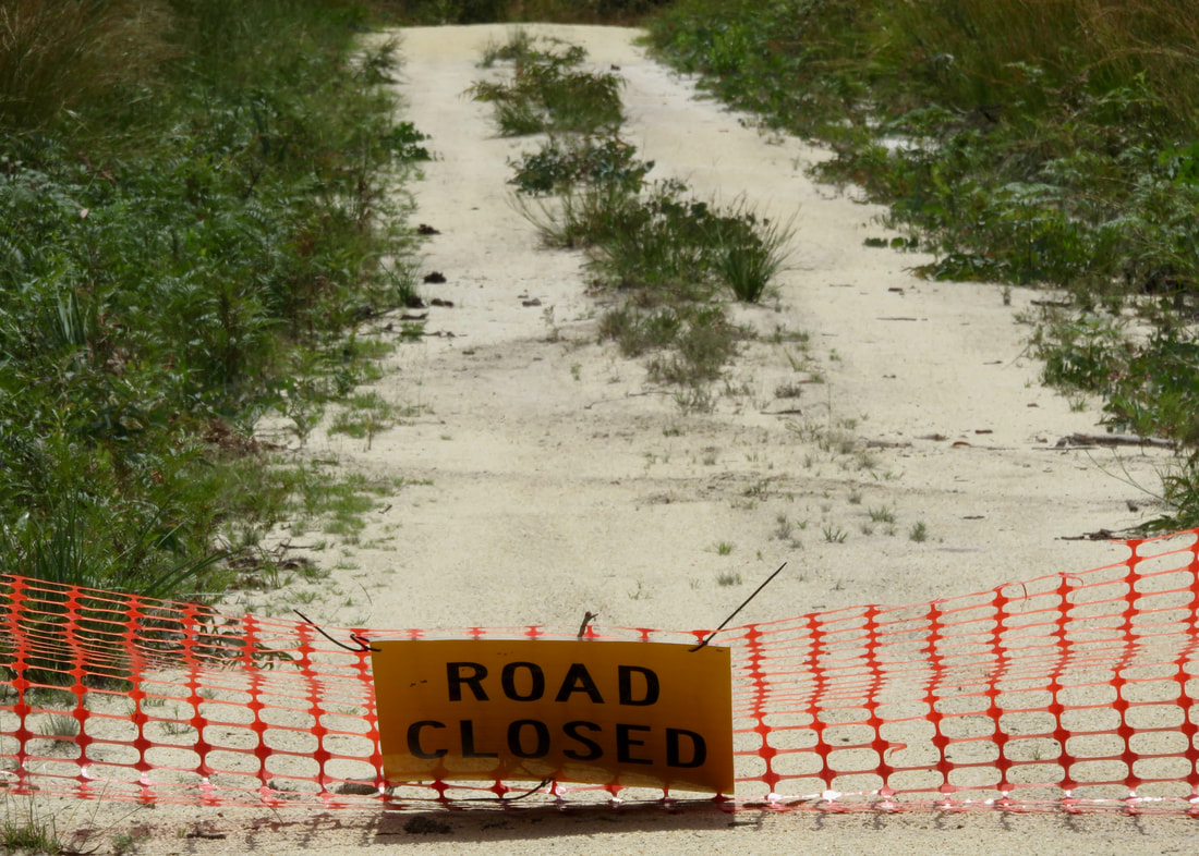
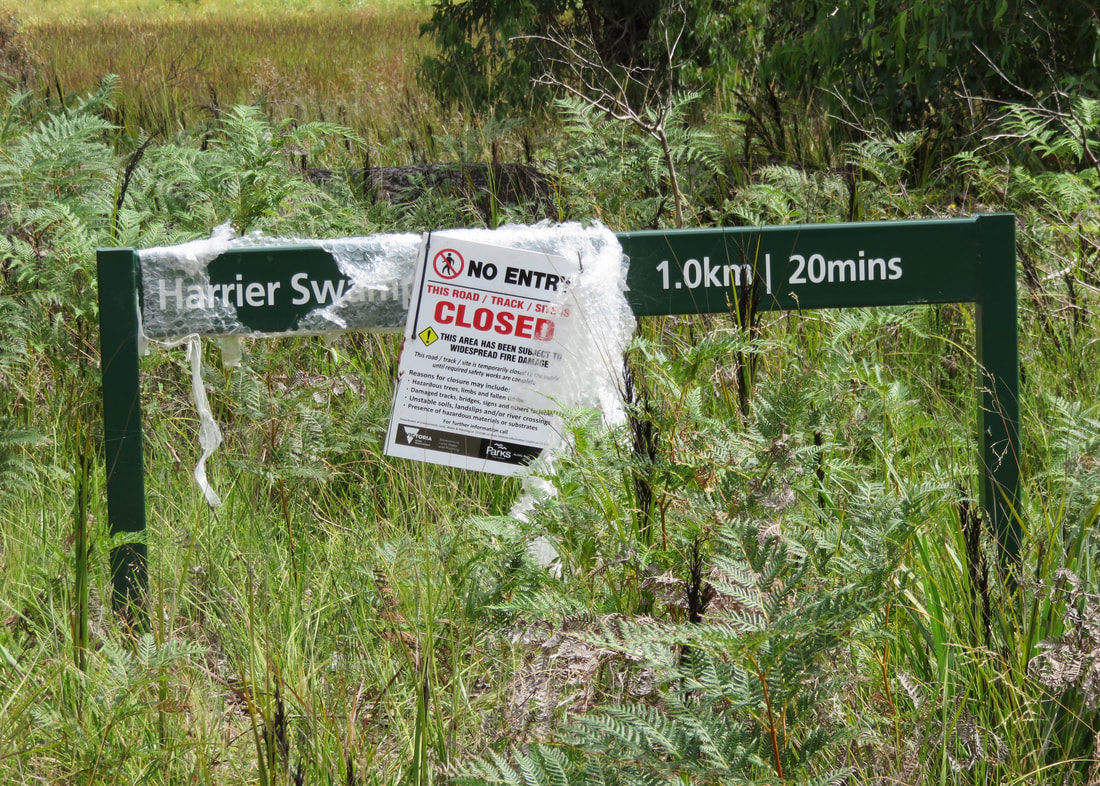
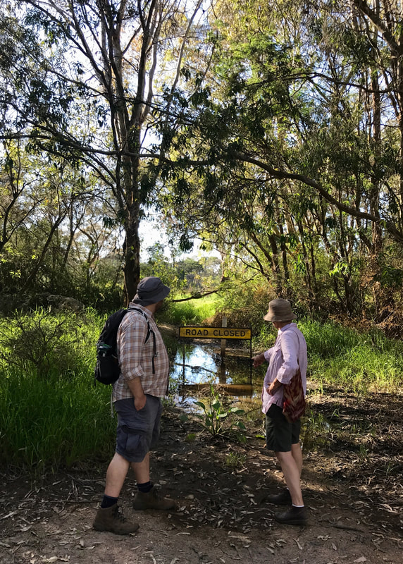
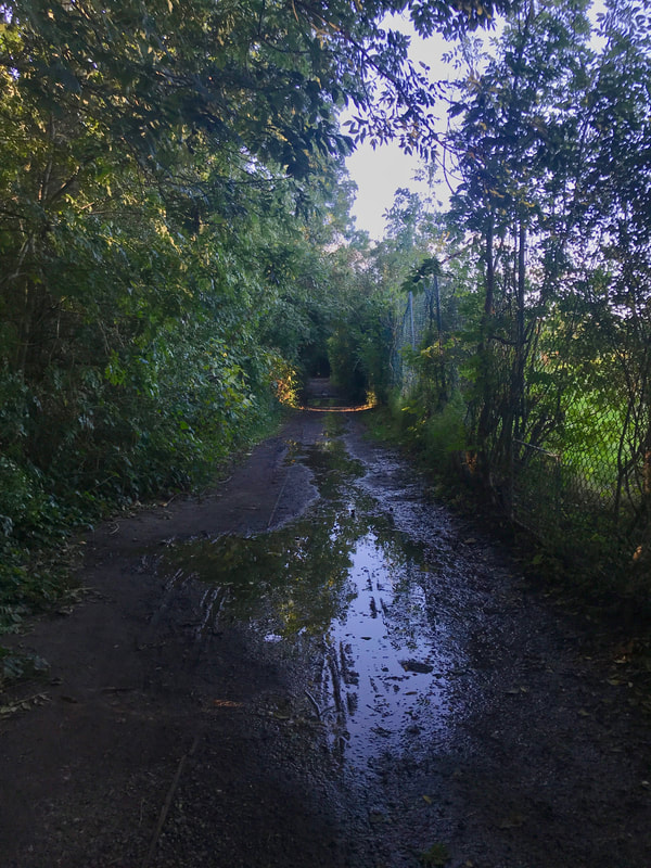
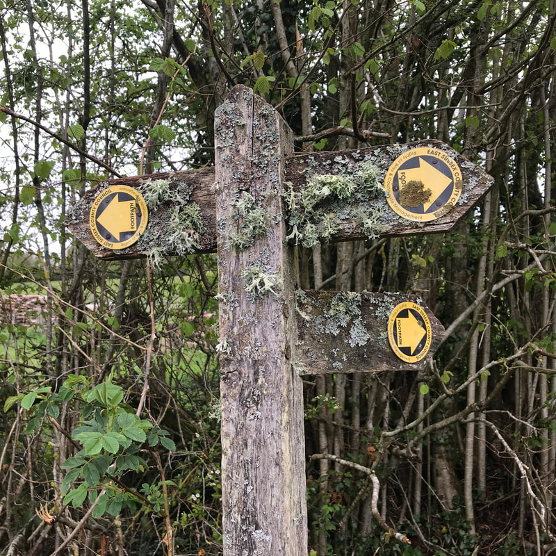
Following the GPS track from All Trails (downloaded into Gaia, which I have found a better app for navigation), we entered a kind of uncared-for, creek-flat, ex-quarry wasteland. We had not really been expecting to end up ranging through grasslands on rough vehicle trails, but so be it. However, faithfully following this well-reviewed route, we popped up onto a vehicle track with a “no trespassing in this area” sign. What? Yep, this was definitely where the route was marked. Hmm. We backtracked a bit and scrambled up a hill/escarpment/old slag heap and followed what looked to be dirt bike trails up towards the bike path. Overhead, a string of planes came in to land at Tullamarine. It was pretty cool. The dirt bike trails ended at a large dam, and we picked our way around the perimeter and popped out once again on the Moonee Ponds Creek trail. When I went back and looked at the reviews on AllTrails, most of the reviewers don’t seem to have actually walked the route at all - they’re all just giving 5 stars and saying how much they like Woodlands Historic Park. Helpful.
(Note: I left a review of the trail and commented on the issue - and the map has now been updated on AllTrails. Well done, team!)
(Note: I left a review of the trail and commented on the issue - and the map has now been updated on AllTrails. Well done, team!)
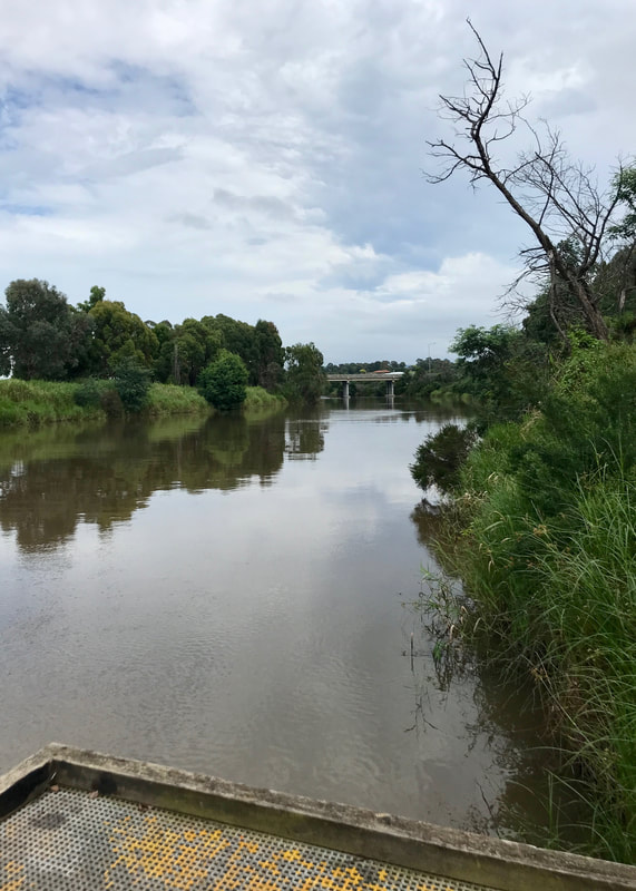
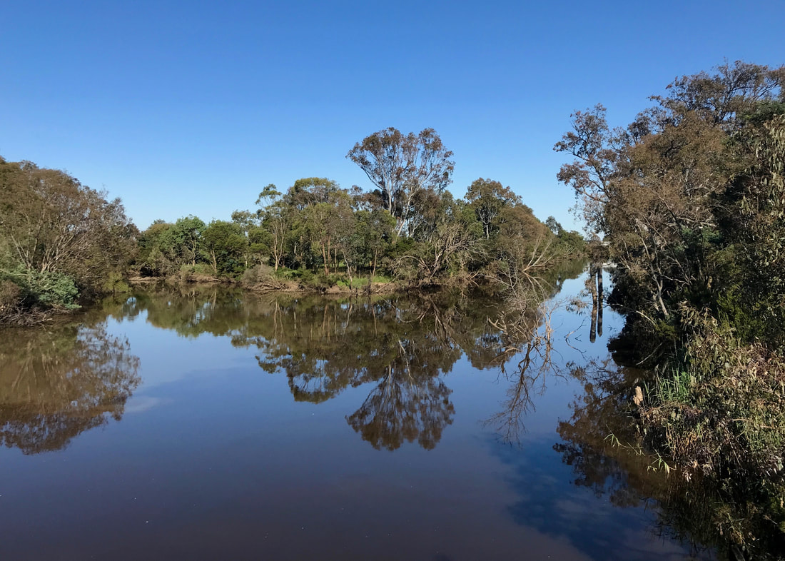
The dam, almost directly opposite where we needed to be to get back onto the bike path!
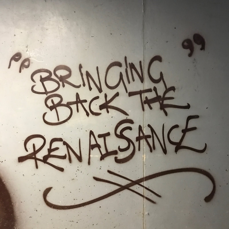
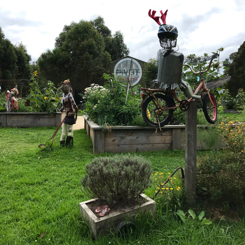
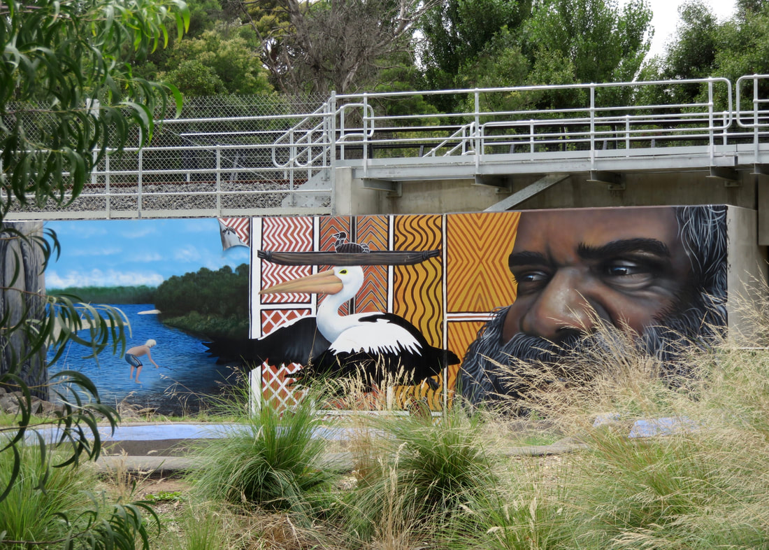
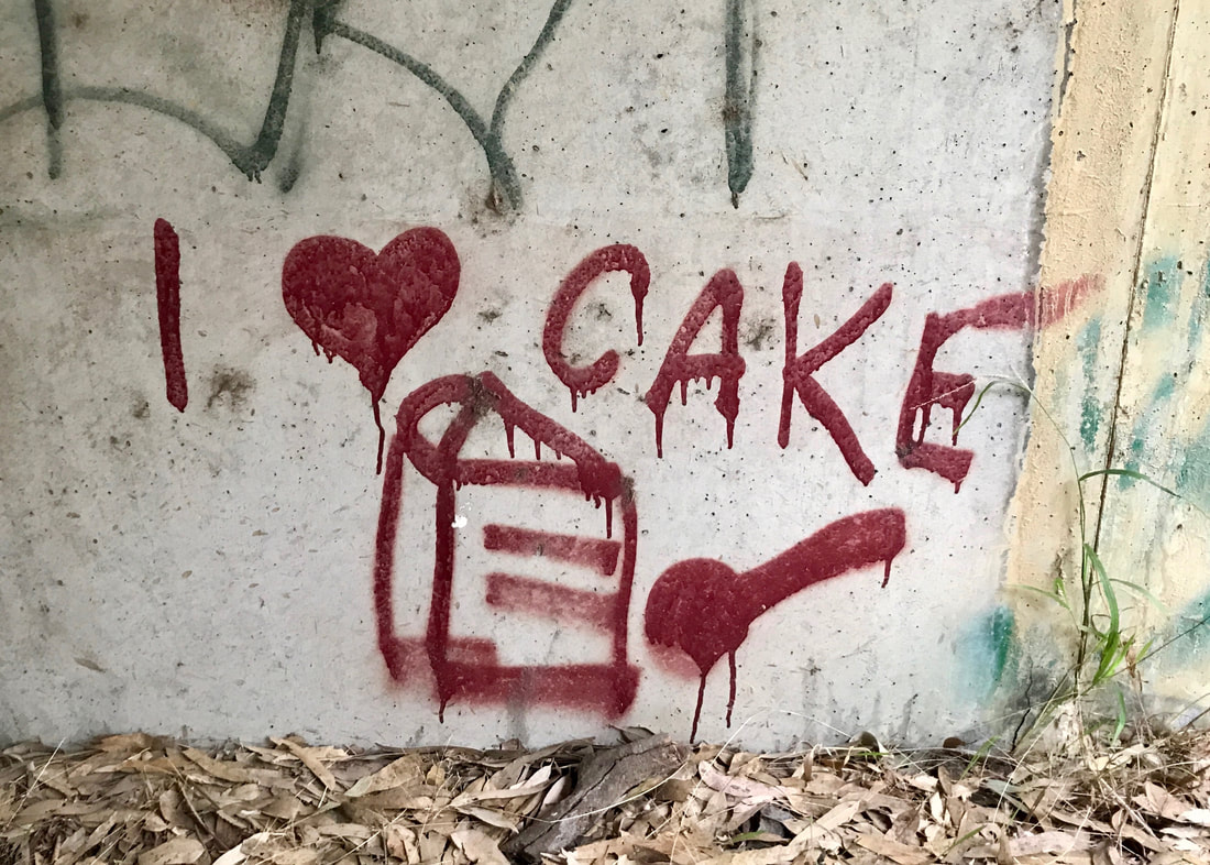 Some of that famous Melbourne graffiti. | 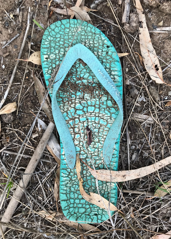 Thong in its natural habitat. |
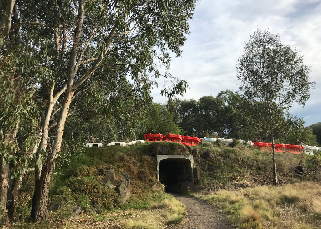
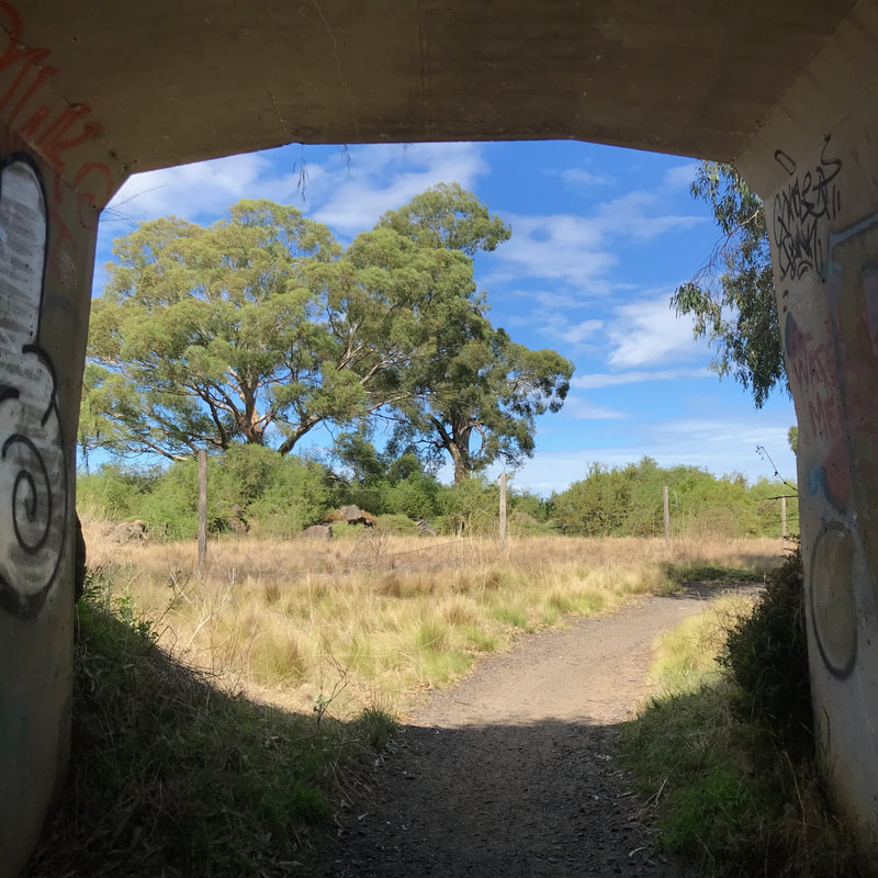
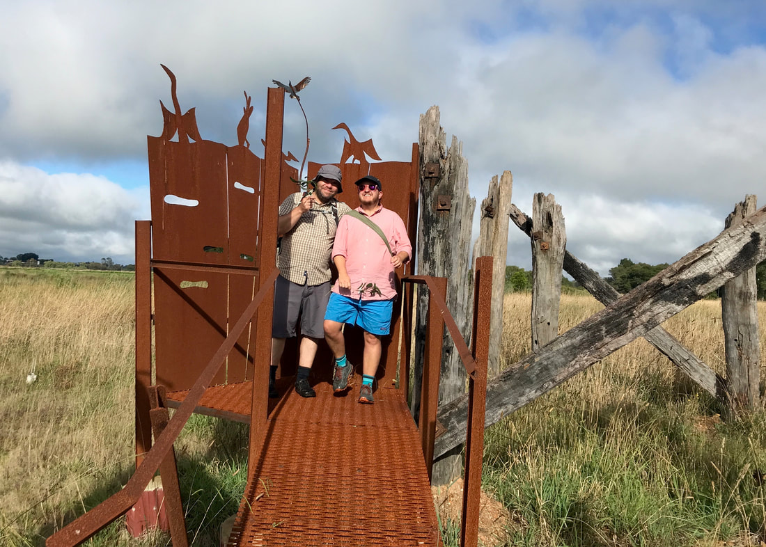
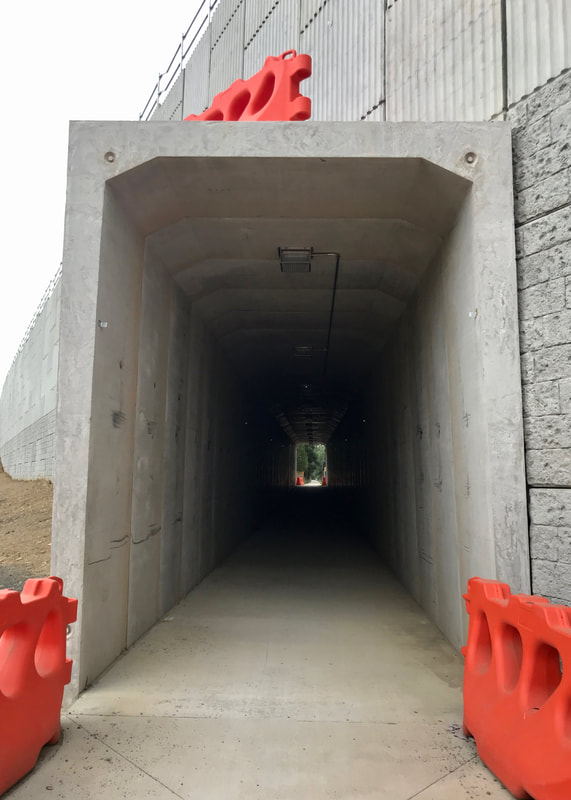
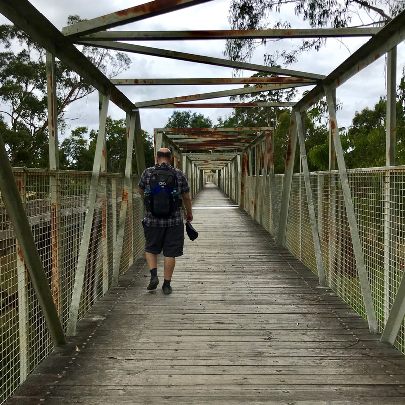
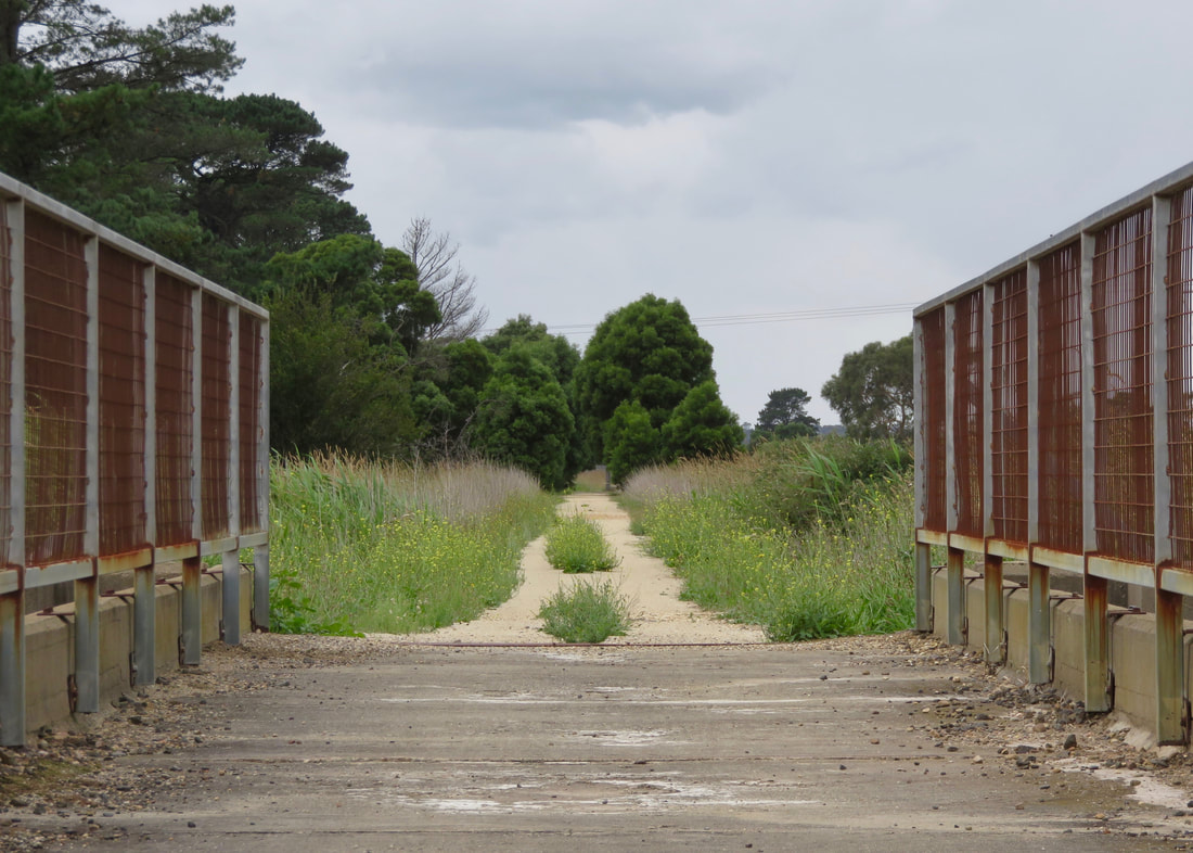
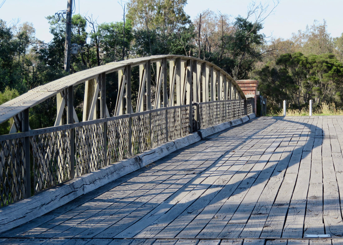
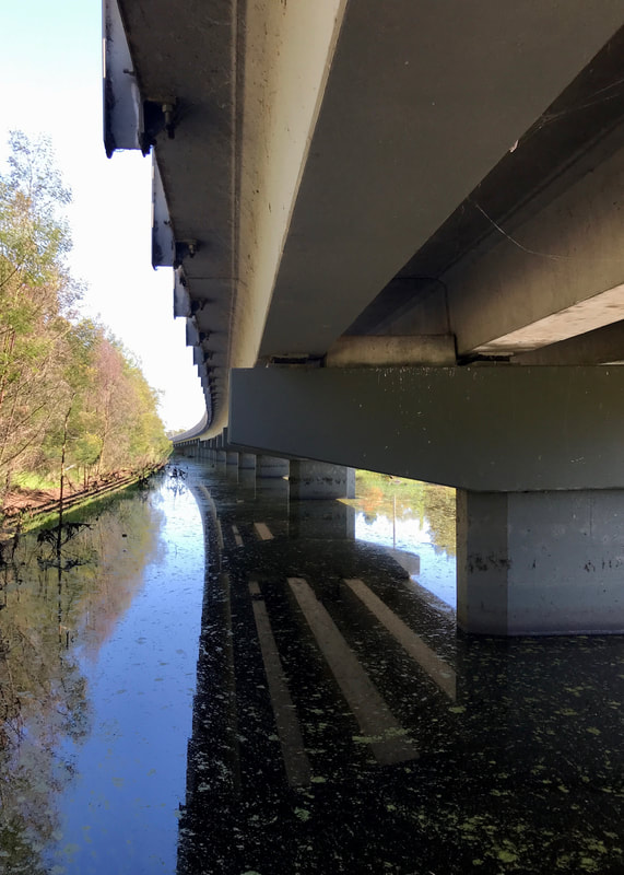
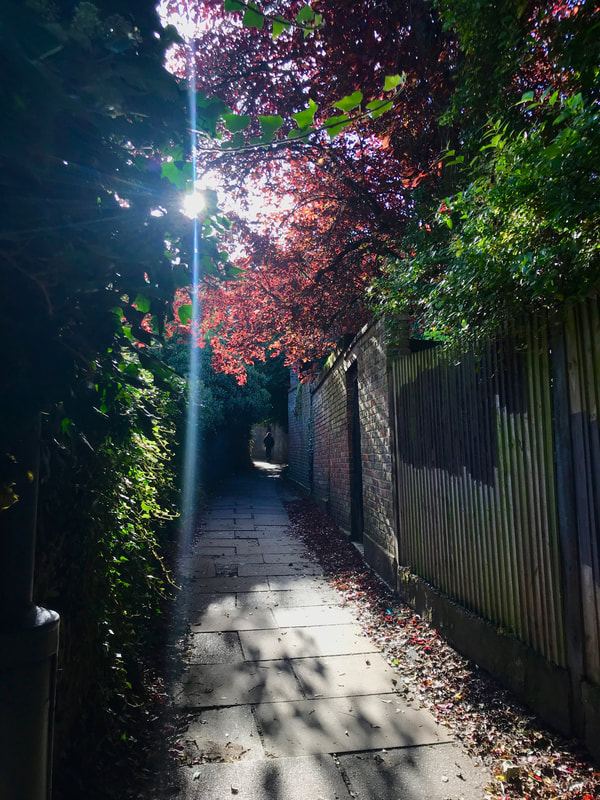
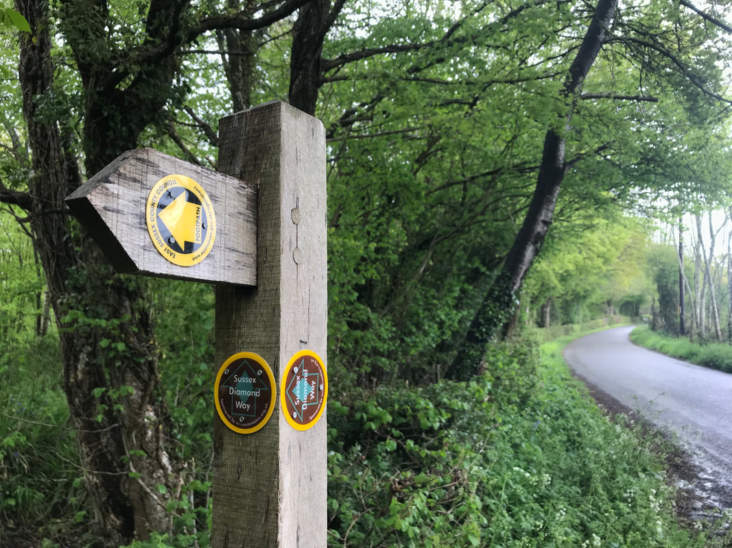
The sketchy tunnel just before entering Woodlands - honestly, I'm not sure it would pass engineering school, haha!
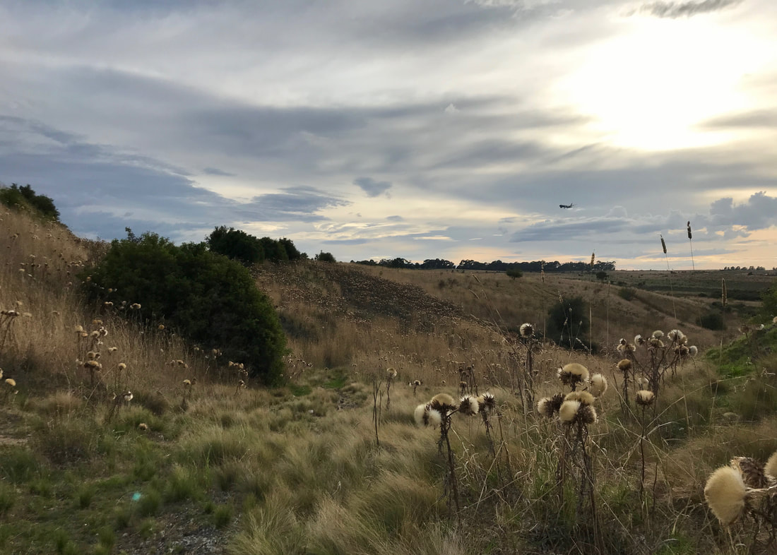
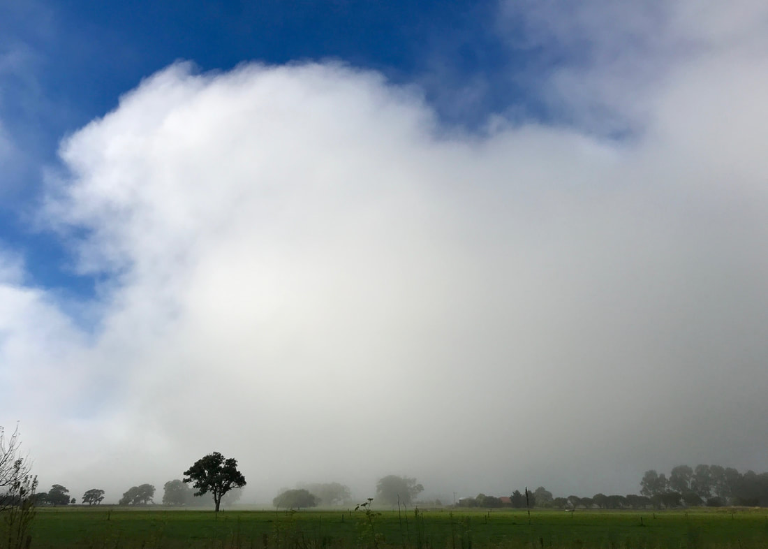
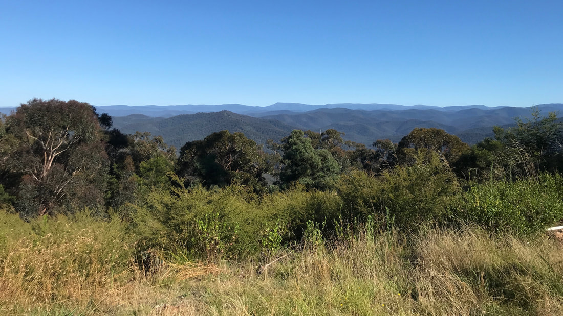
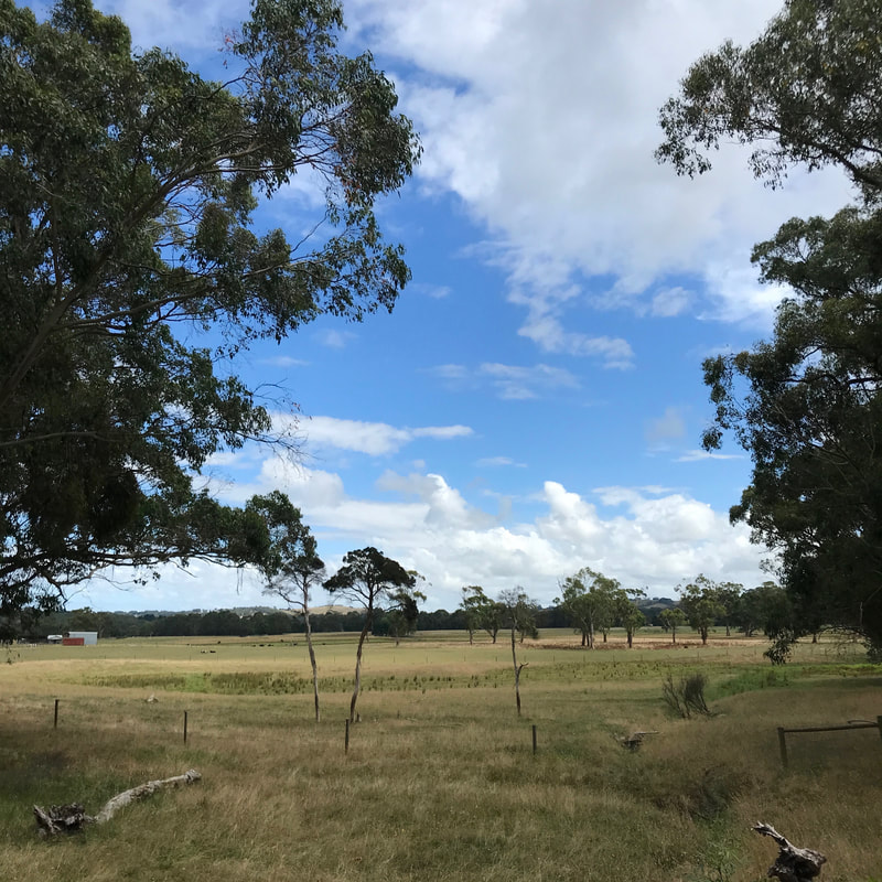
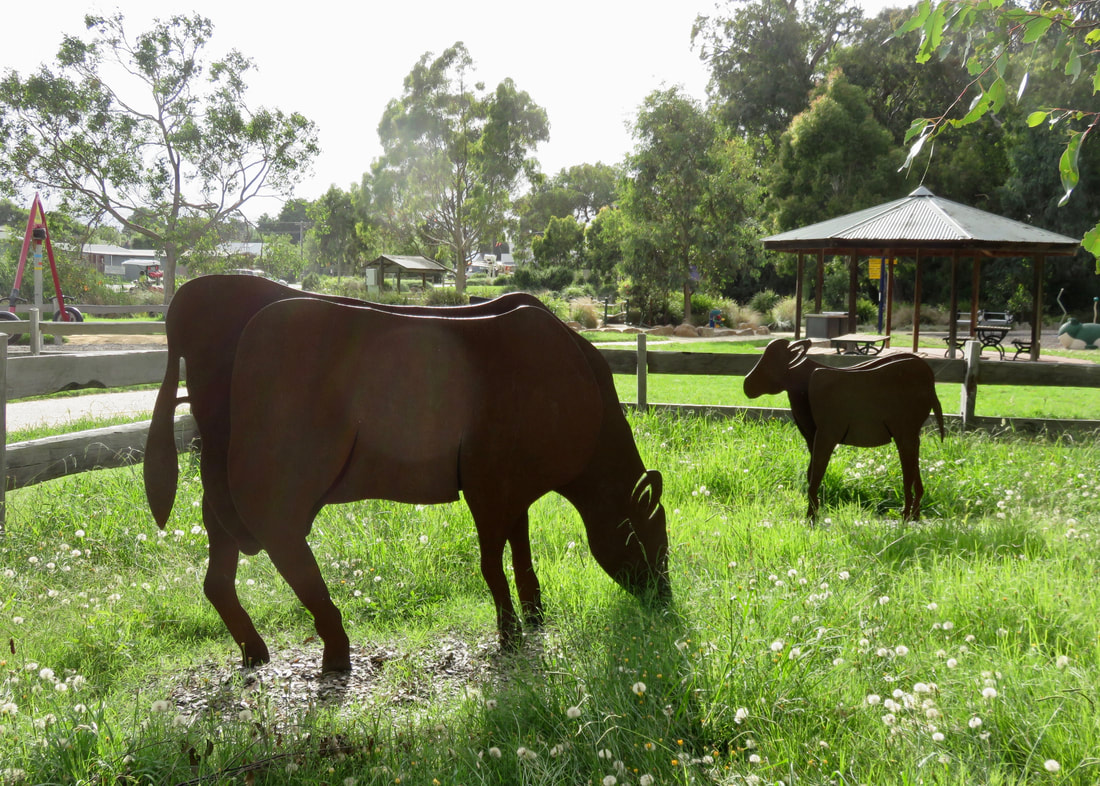
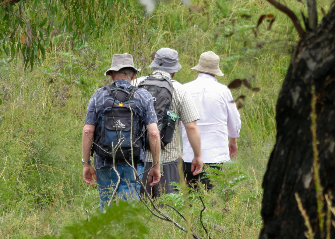
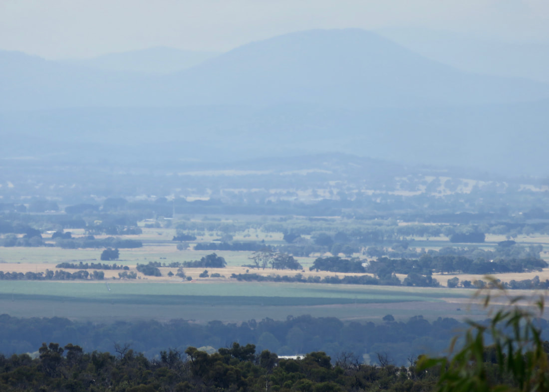
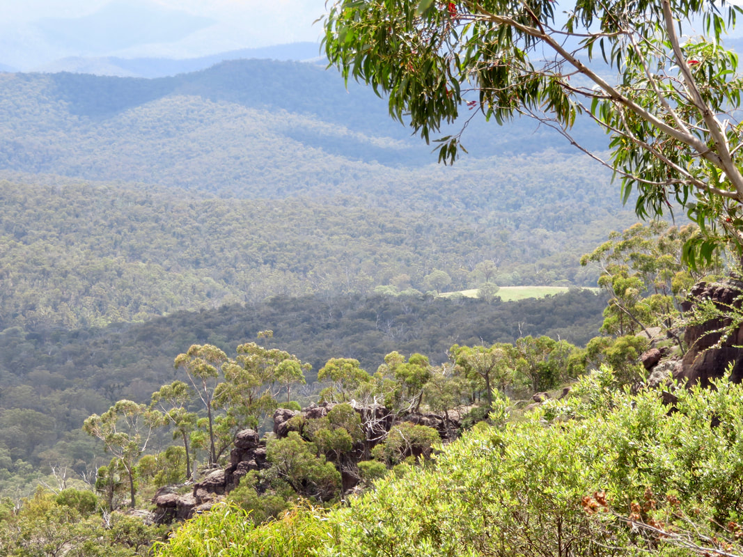
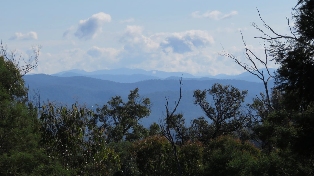
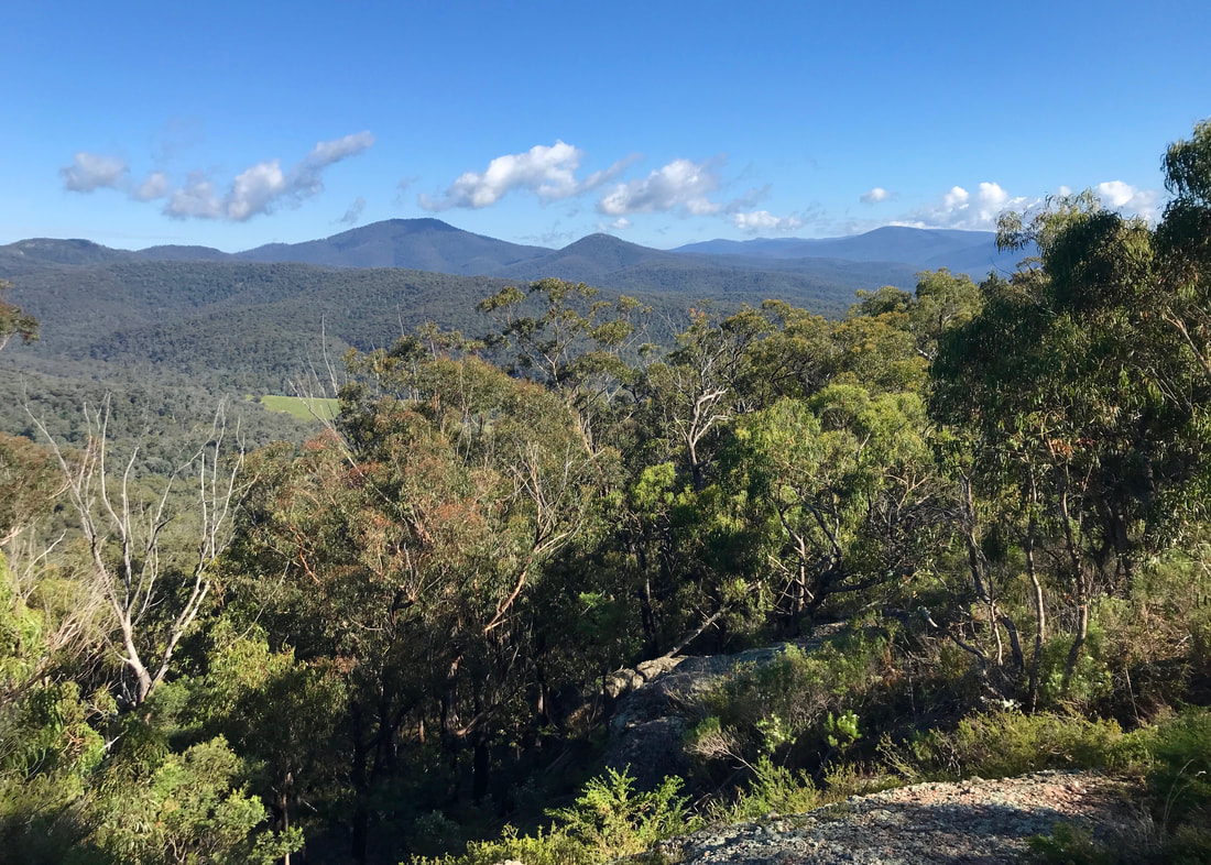
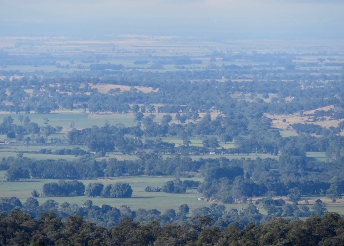
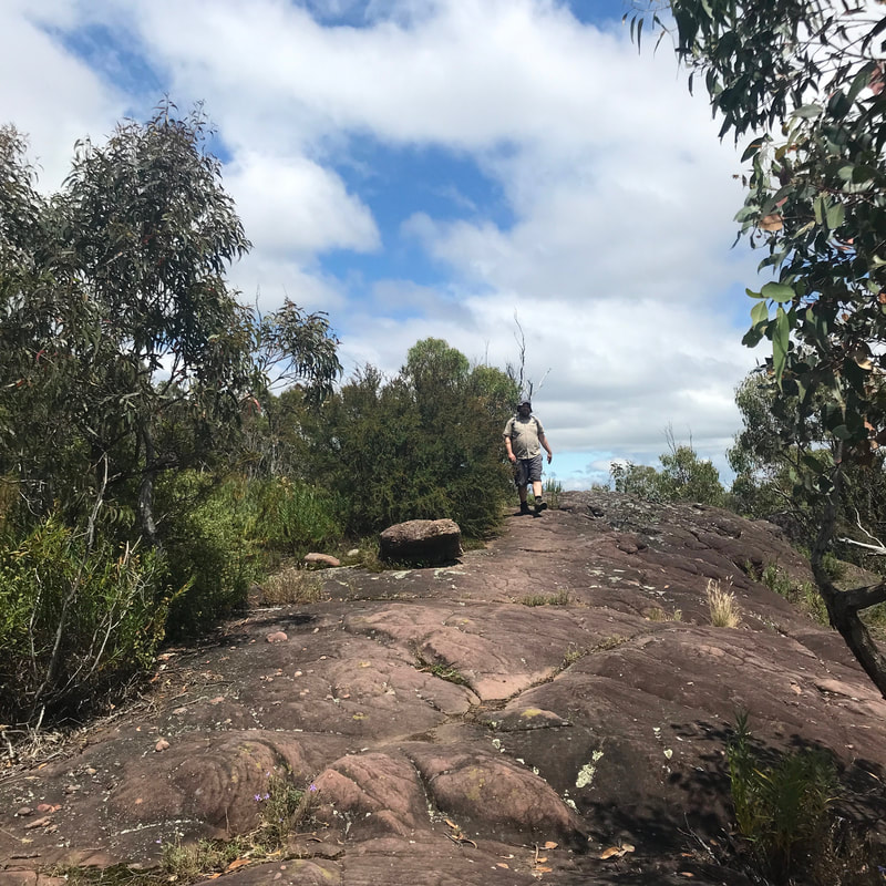
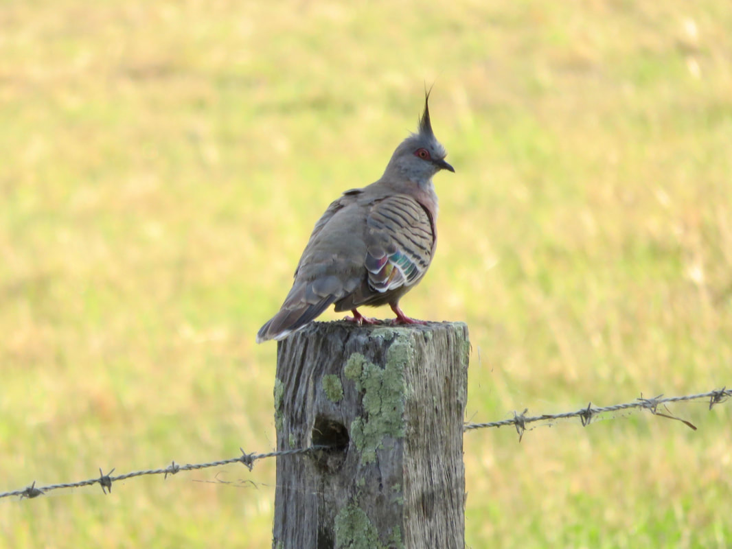
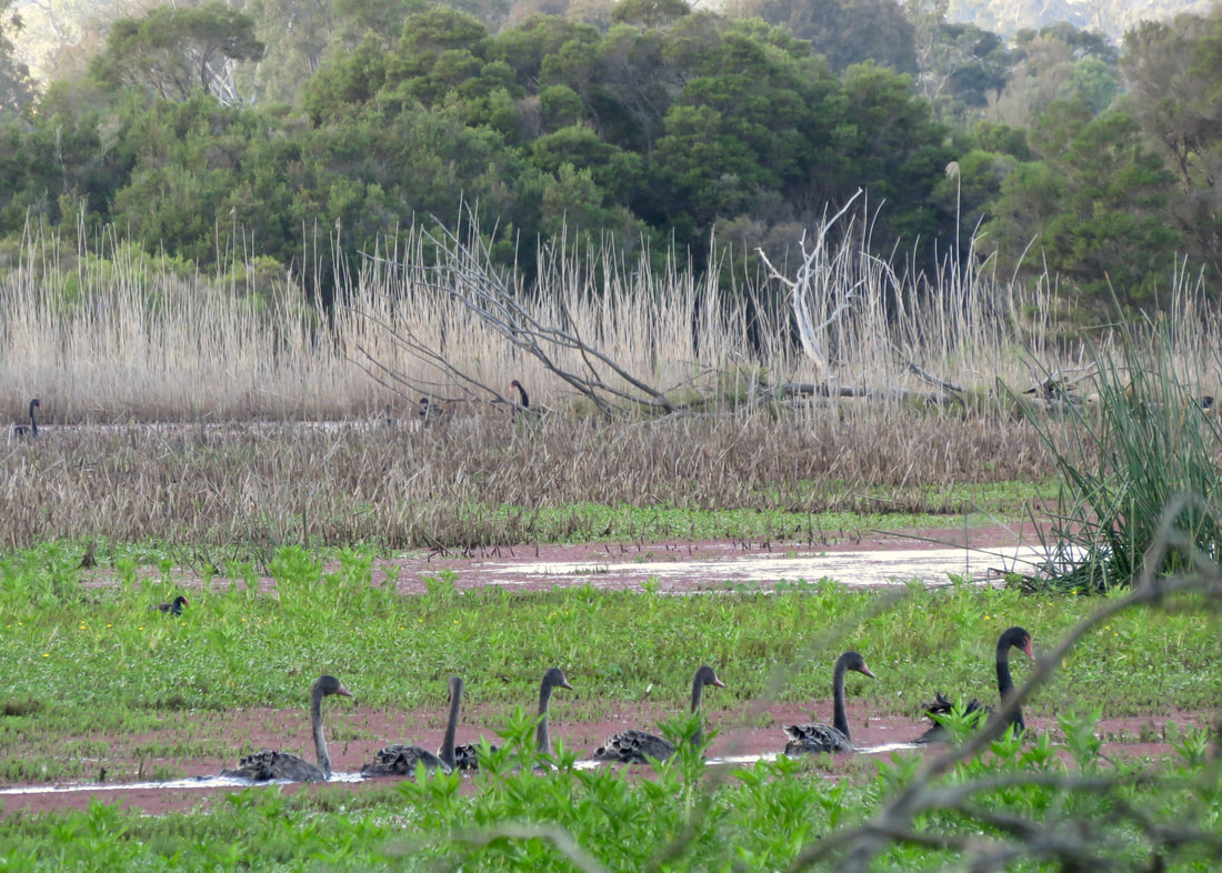
Our first adventure of the day over, we passed into Woodlands and made our way up to Gellibrand Hill. On the way, we spotted some kangaroos in the paddocks beyond the fence. By "some kangaroos", I mean 60 or 70. There were some big old beefy bruisers, ones with joeys poking out of their pouches, and heaps of tweenage looking ones that were too big for the pouch but still not full sized. On the hill itself we saw more roos and a couple of wallabies that we startled (and who startled us as they sprang away into the shrubs). We took a break on Gellibrand Hill, sitting on one of the granite outcrops to eat a bar and admire the view - from the Dandenong Ranges in the east to the city and Westgate Bridge in the south and around to the You Yangs. When we finished our break and crested the rise we could see the Macedon Ranges capped with cloud, and a few long sweeps of rain coming in from the west.
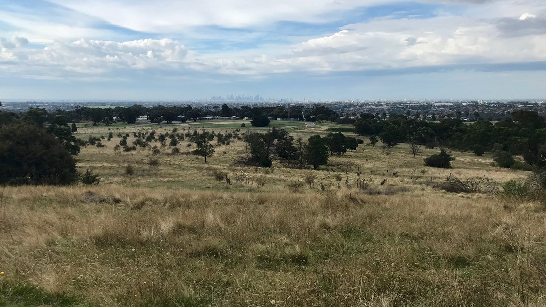
View of Melbourne from Gellibrand Hill. Can you spot the kangaroos? We decided to come back one day and have a cup of tea while watching the sunrise.
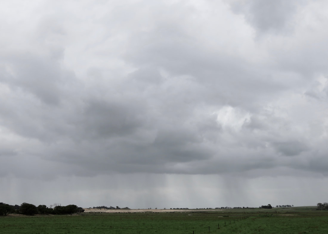
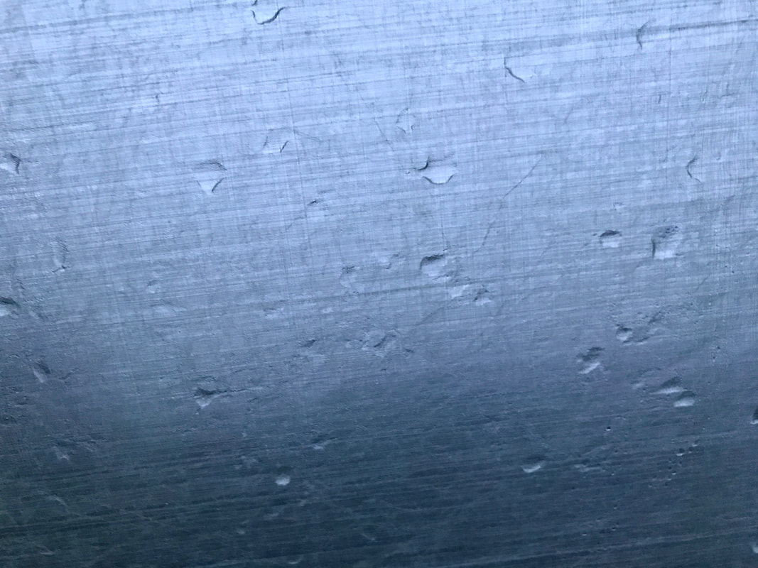
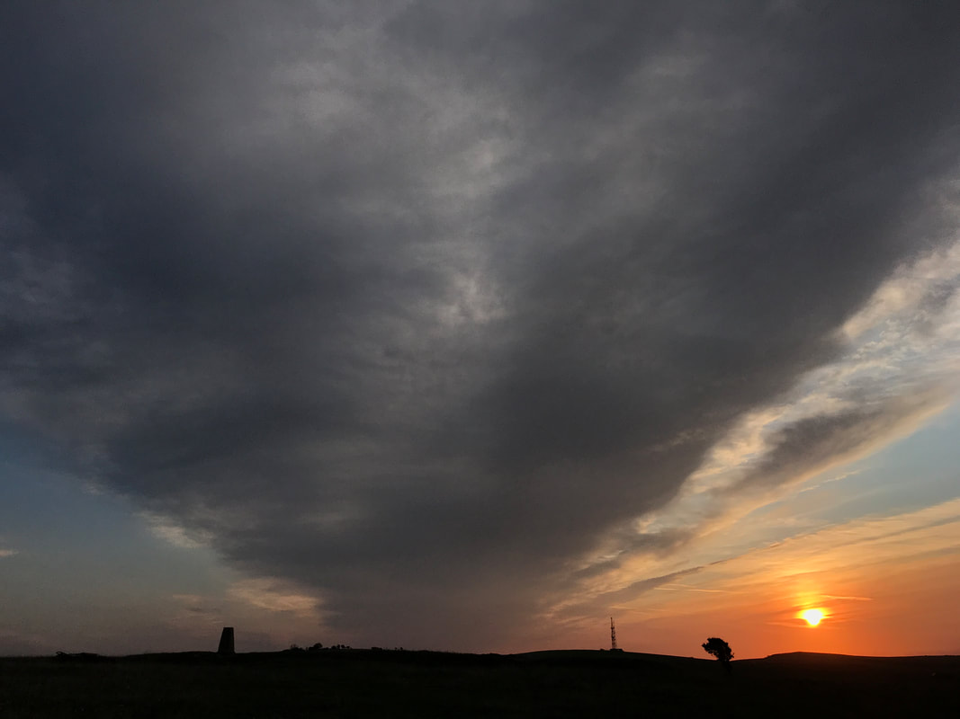
Rain falling in the distance - we only got the lightest drizzle, in the end.
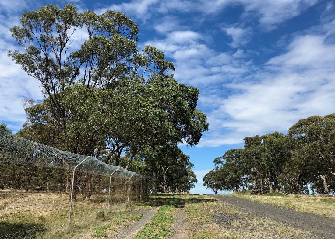
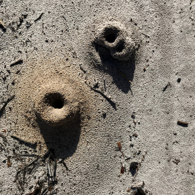
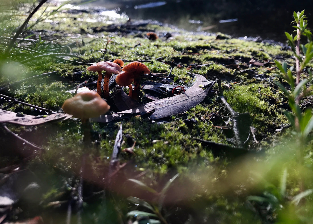
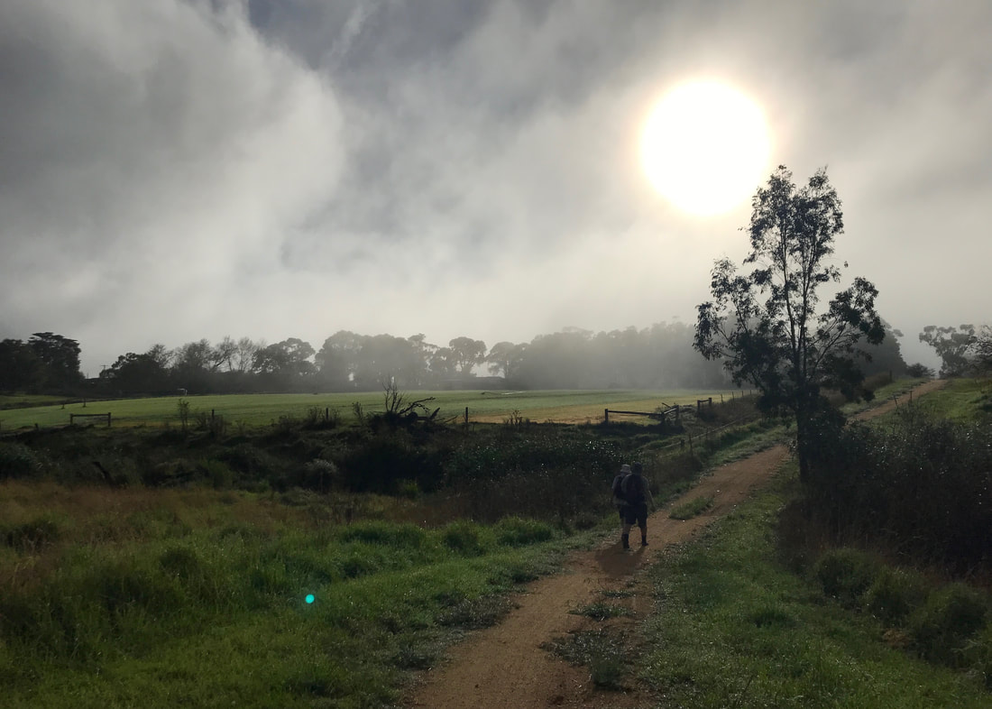
It also started raining on us - just a light drizzle. (Red in the morning!) So much for 30 degrees, we thought. Coming off the hill, on our friend Emily’s recommendation, we took a bit of a detour of the marked route and instead went into the bandicoot reserve area. In 1988 a small population of Eastern Barred Bandicoots were released in the enclosure, helping keep these wee critters from becoming extinct. This was a really lovely area, which felt kind of secluded and quiet - despite the planes taking off not too far away.
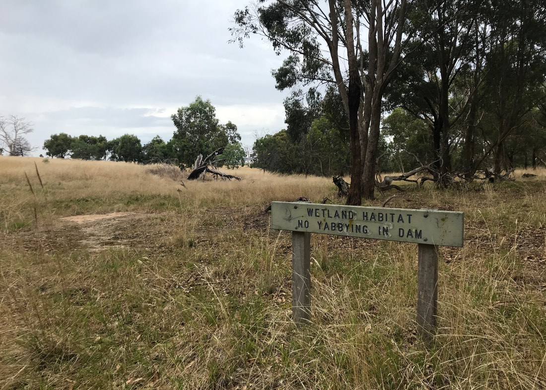
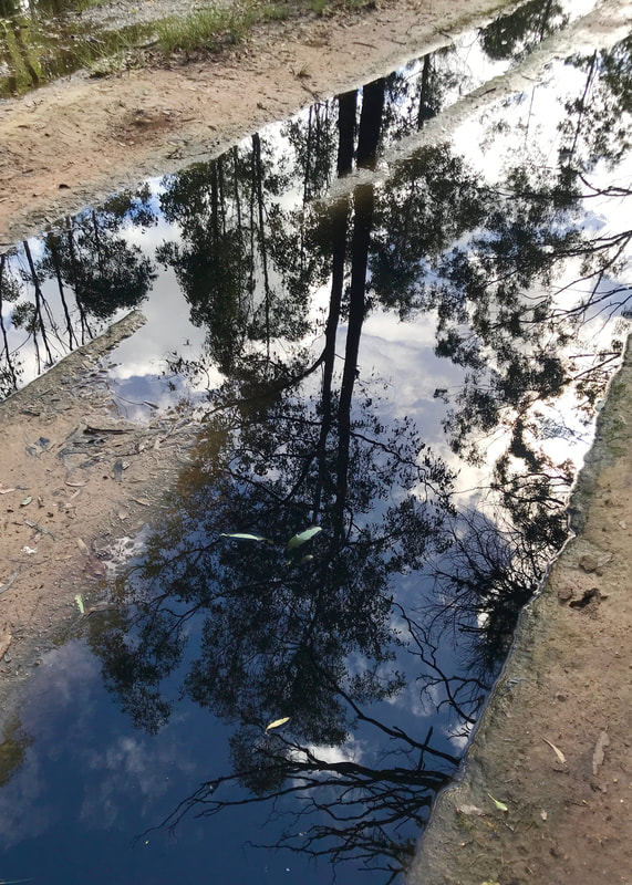
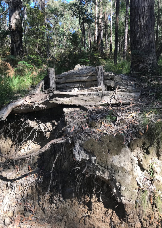
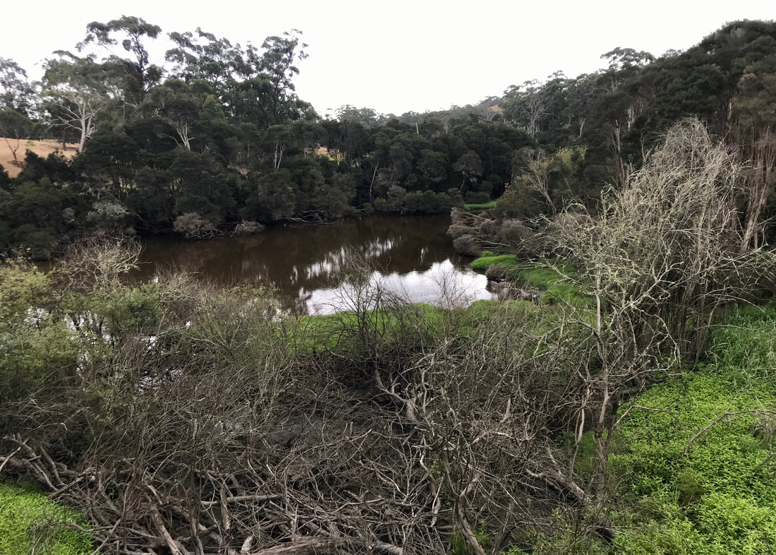
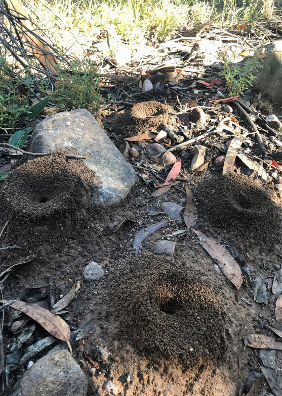
I couldn't even find a dam, let alone go yabbying in it!
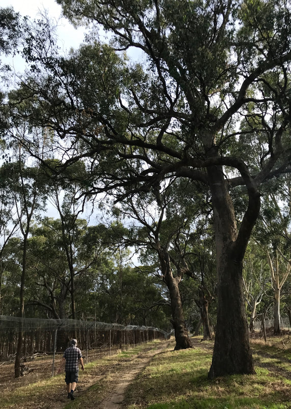 The path on the outside of the bandicoot enclosure. | 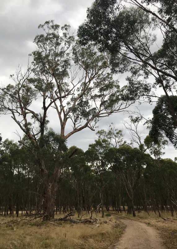 Inside the enclosure - all quiet, apart from the roar of the airport! |
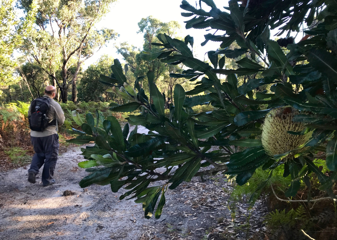
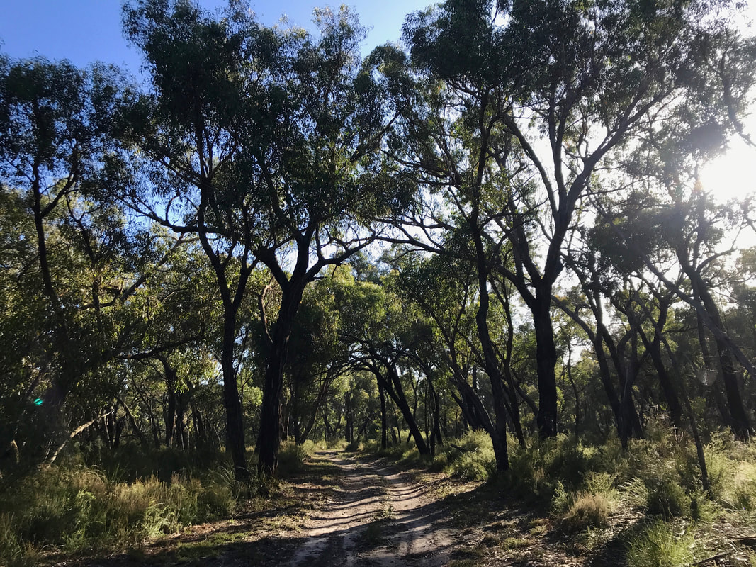
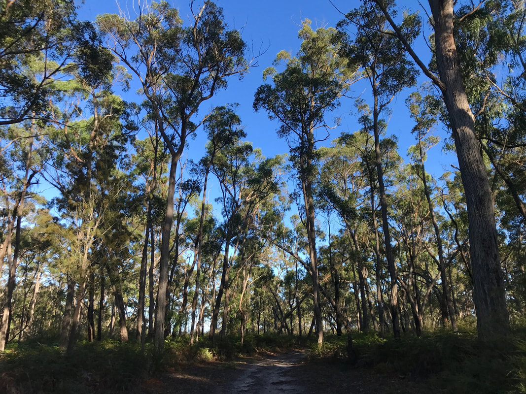
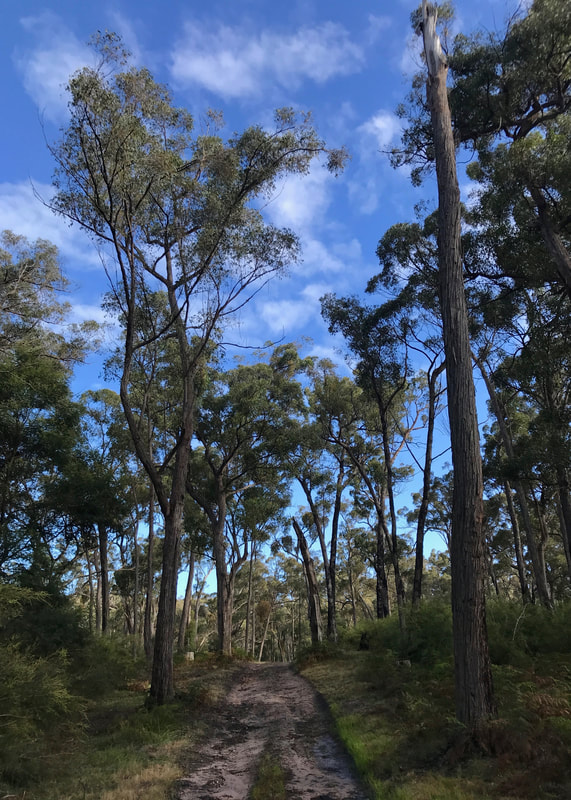
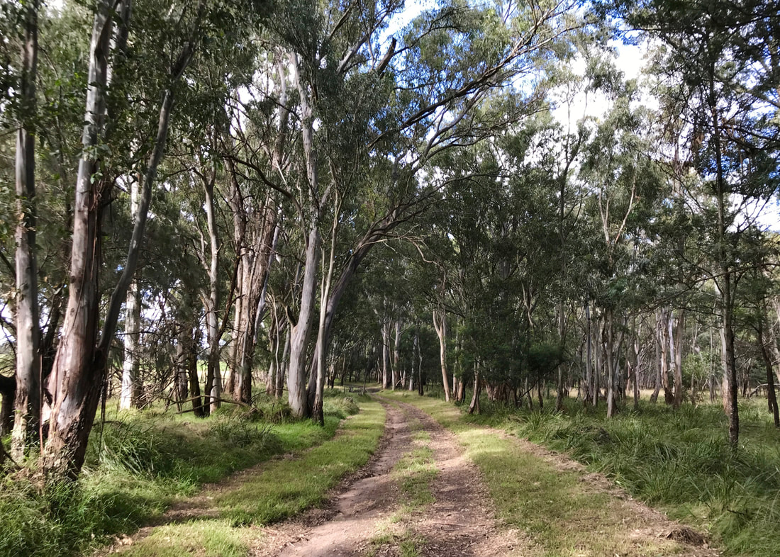
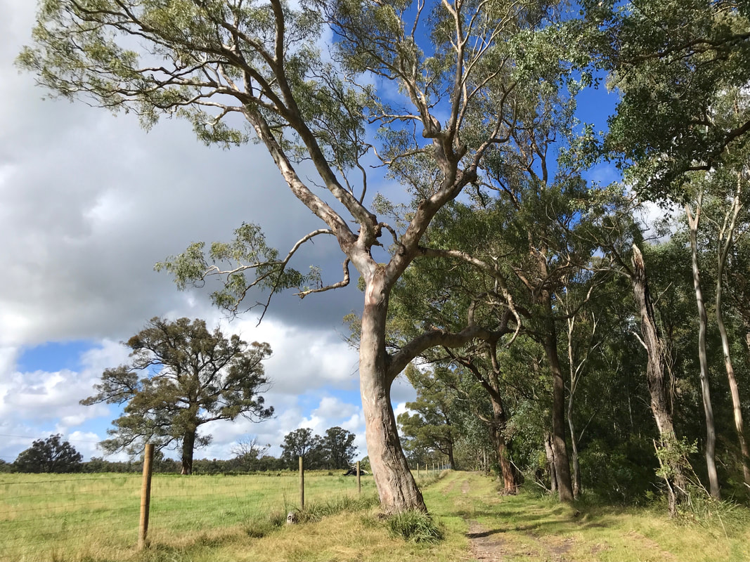
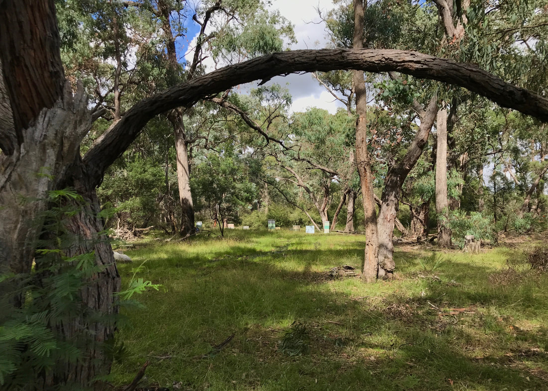
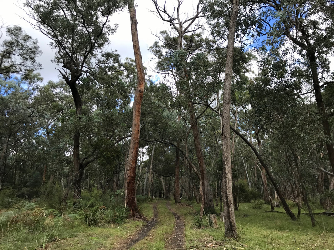
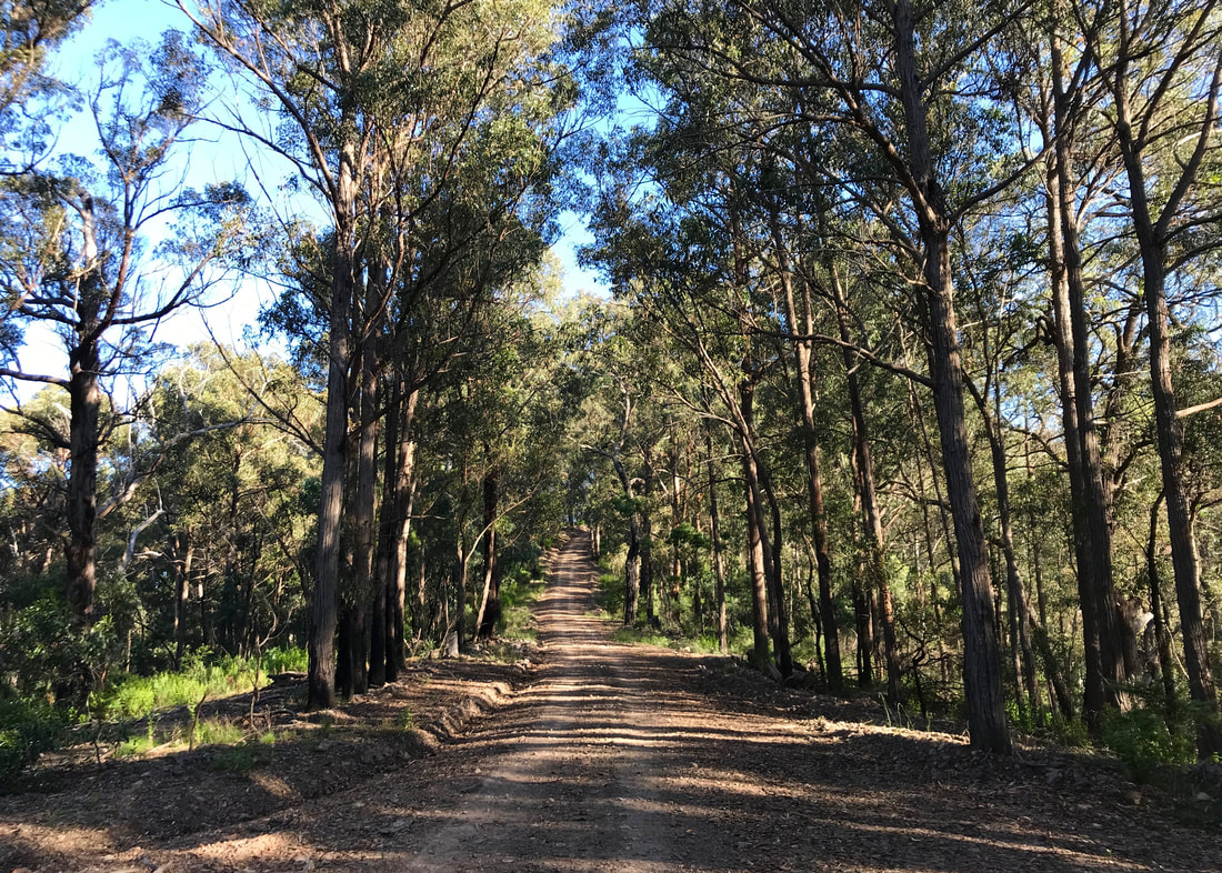
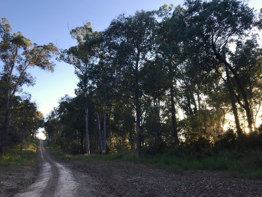
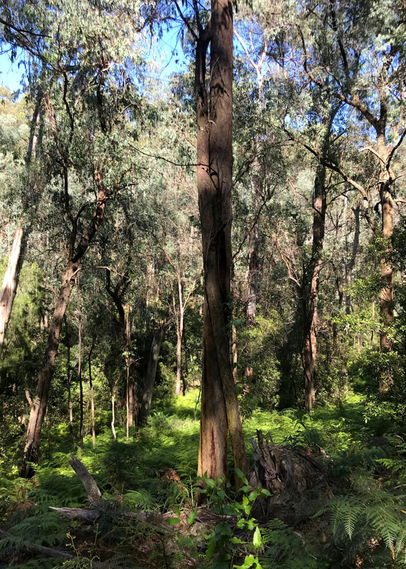
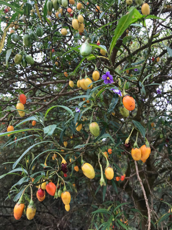
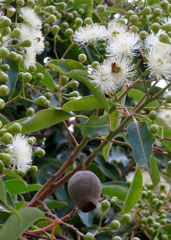
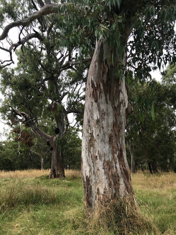
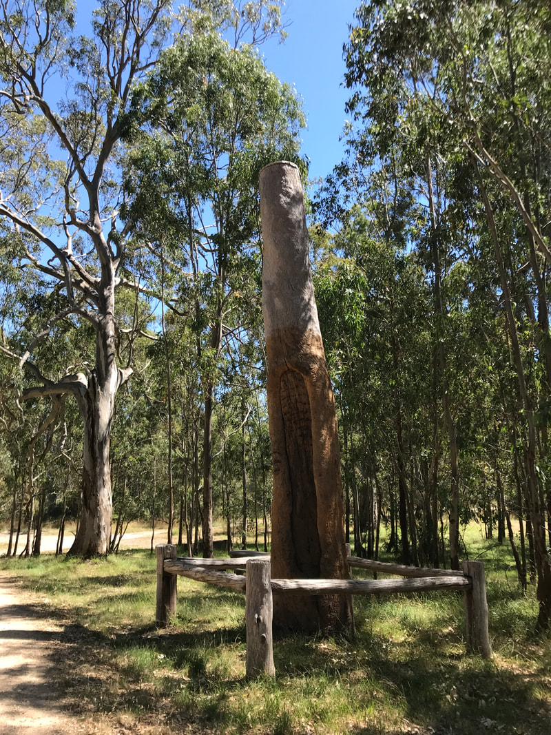
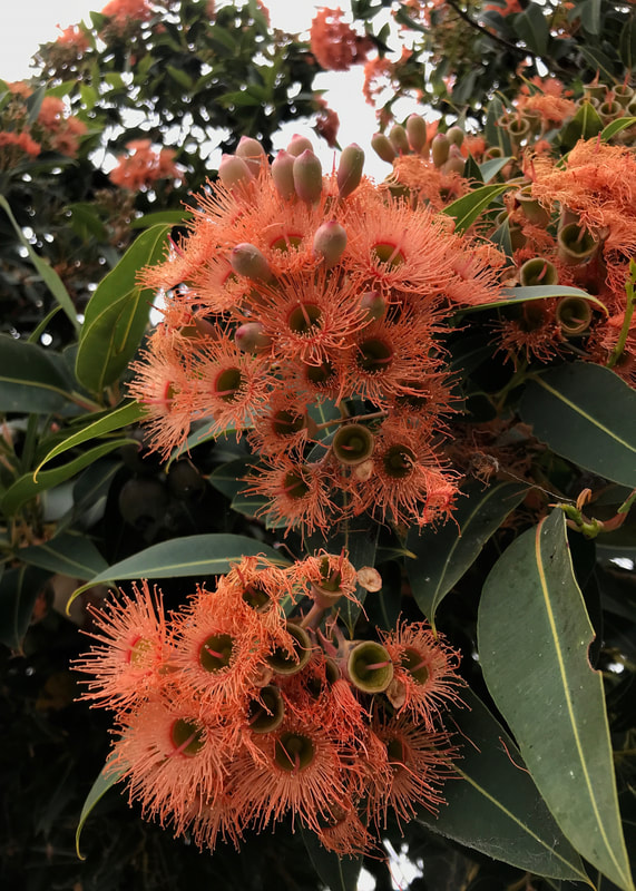
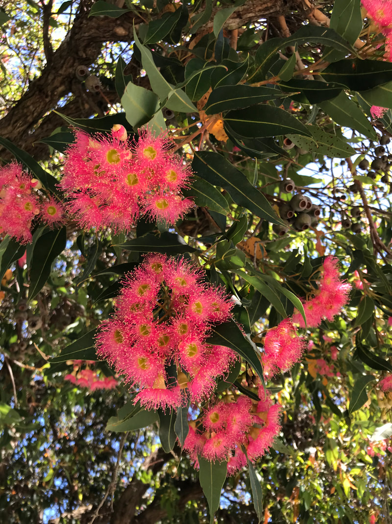
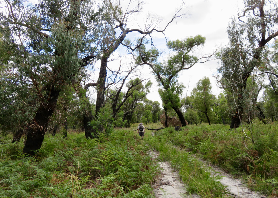
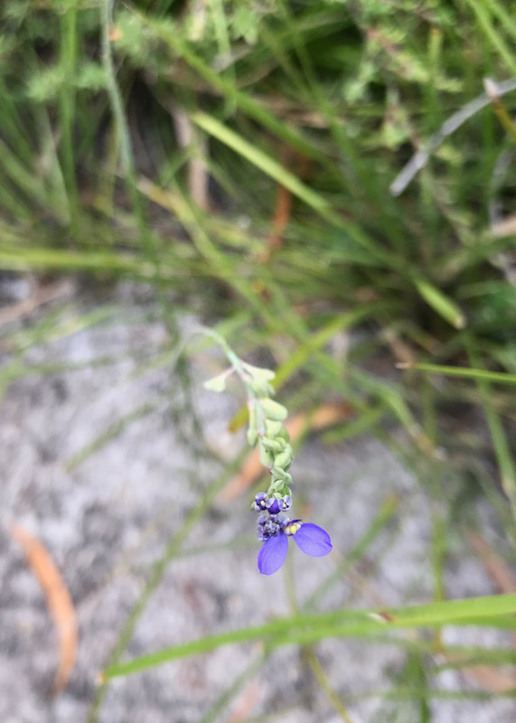
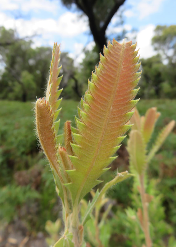
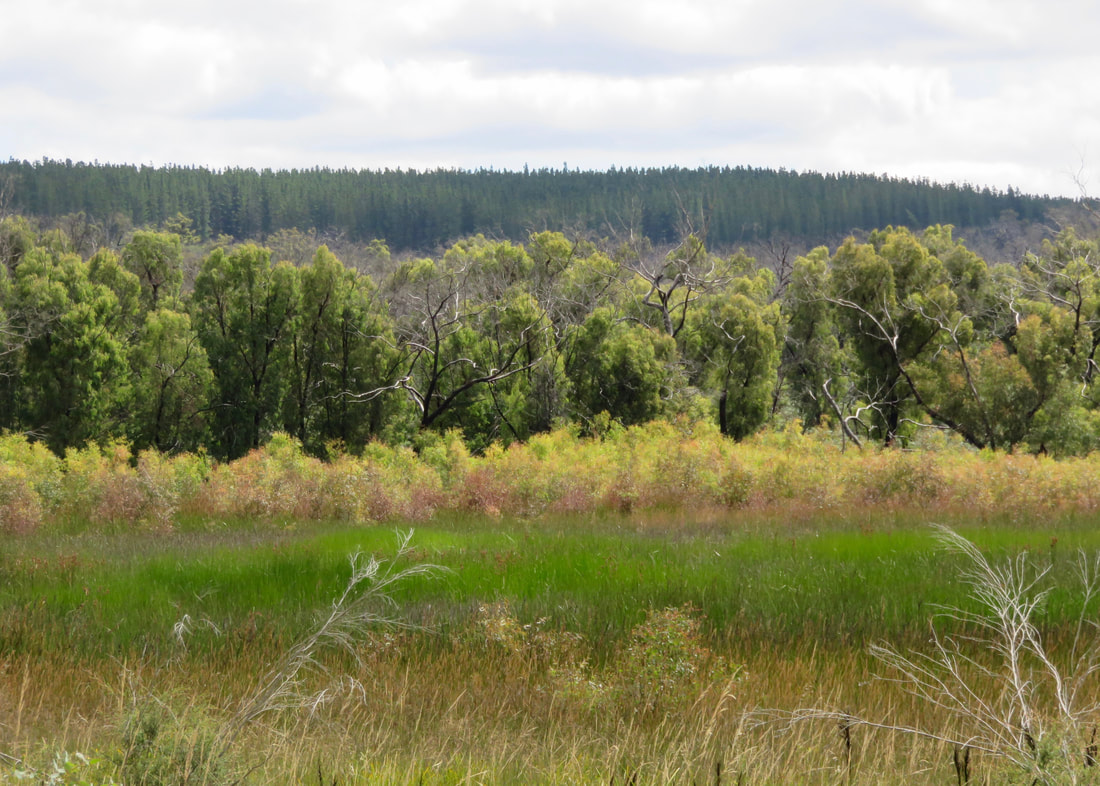
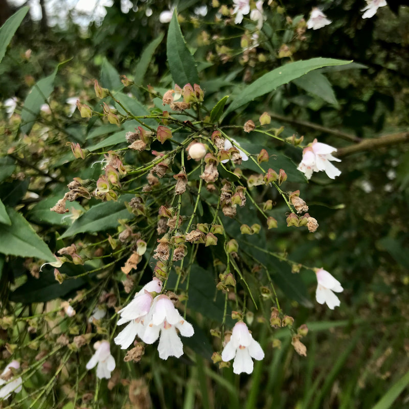
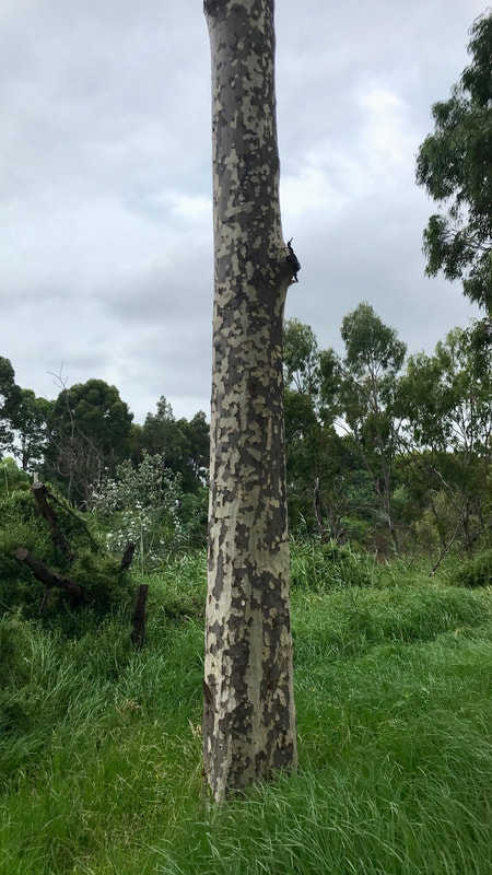
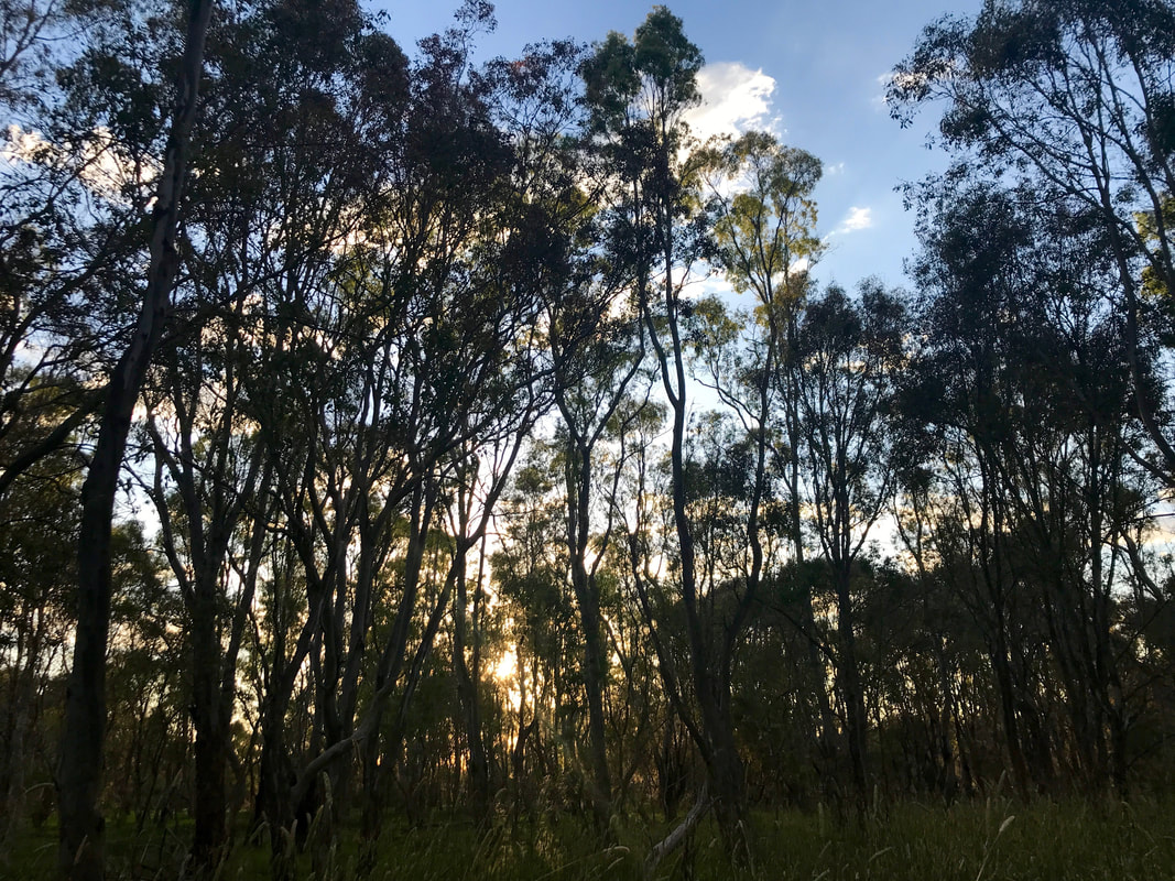
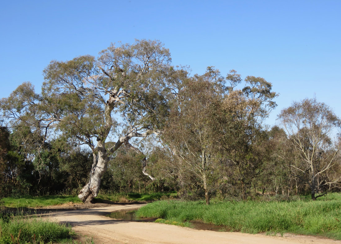
I got kind of obsessed with the trees here. There are wonderful old eucalypts with amazing bark patterns, enormous bendy branches and squiggly twigs. There are trees with boughs that dip out towards the ground, enclosing patches of inviting looking grass underneath, (But beware! Many of these trees drop limbs without warning!) There are dead trees that twist up to spiky crowns of bare, white branches. There are mother trees that, without their surroundings being grazed to the earth by livestock, have encircled themselves with children saplings. There are places in the park where it seems every tree is different. And we walked through a monoculture plantation, where the repetition of trunks and bark patches and colours seemed almost like a magic eye puzzle.
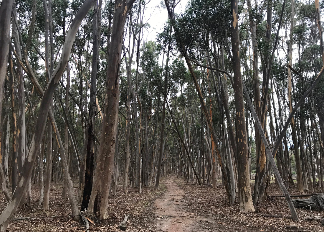
The footpath through the plantation was kind of eerie - all those very similar grey trunks with little spashes of orange.
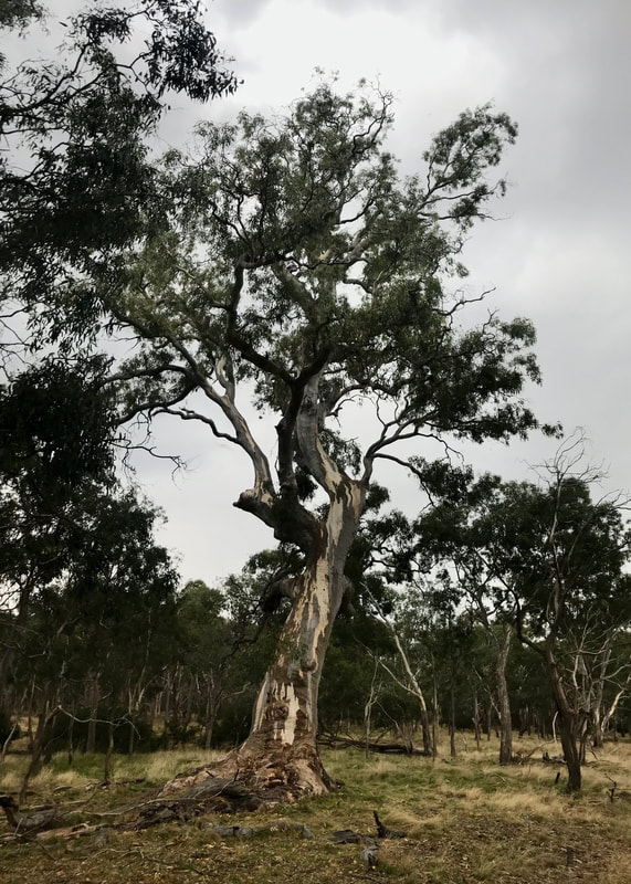 A cool old tree. | 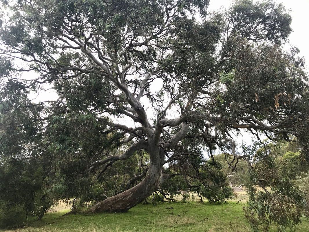 Another cool old tree. |
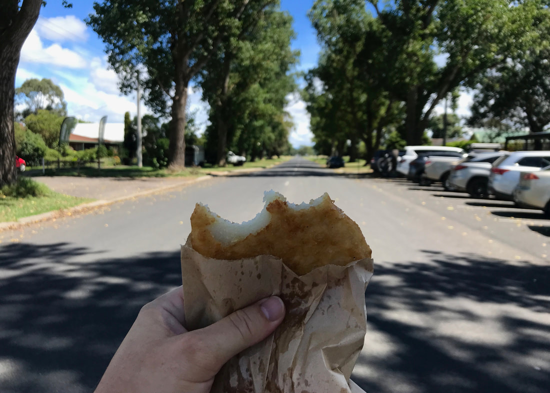
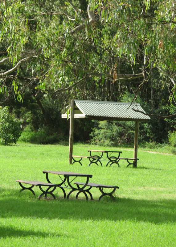
We stopped a few times, after the light drizzle had passed. Once on the grassy hillside above the homestead, where we realised just how much this place seemed like the Australian version of a National Trust country house and deer park - only with kangaroos, instead. I guess that’s the colonial instinct to recreate the mother country at work in both the initial development and the drive to preserve it. (Incidentally, there’s a friends group you can join if you’re interested.) We also stopped at the Somerton Road picnic area right at the north of the park, where a bunch of glossy little ravens were hanging around looking for leftover food and shaking down the trees for fruit and grubs. And then we stopped for a proper break at the cafe (how civilised!) where I took my shoes off and we shared a highly-peppered veggie pasty and a bottle of lemonade. The weather was still quite nice - it felt like about 23 degrees and there was a little breeze.
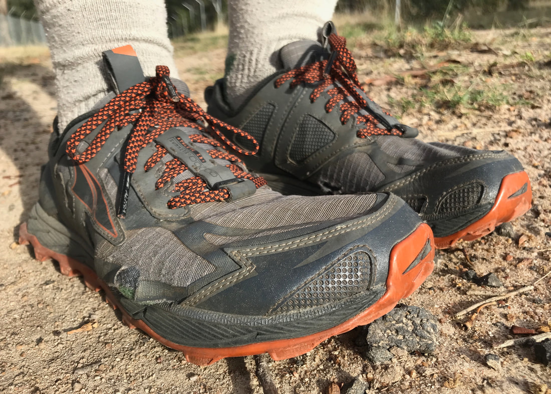
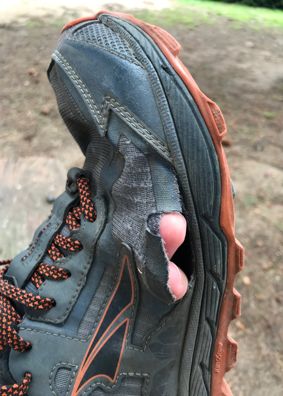
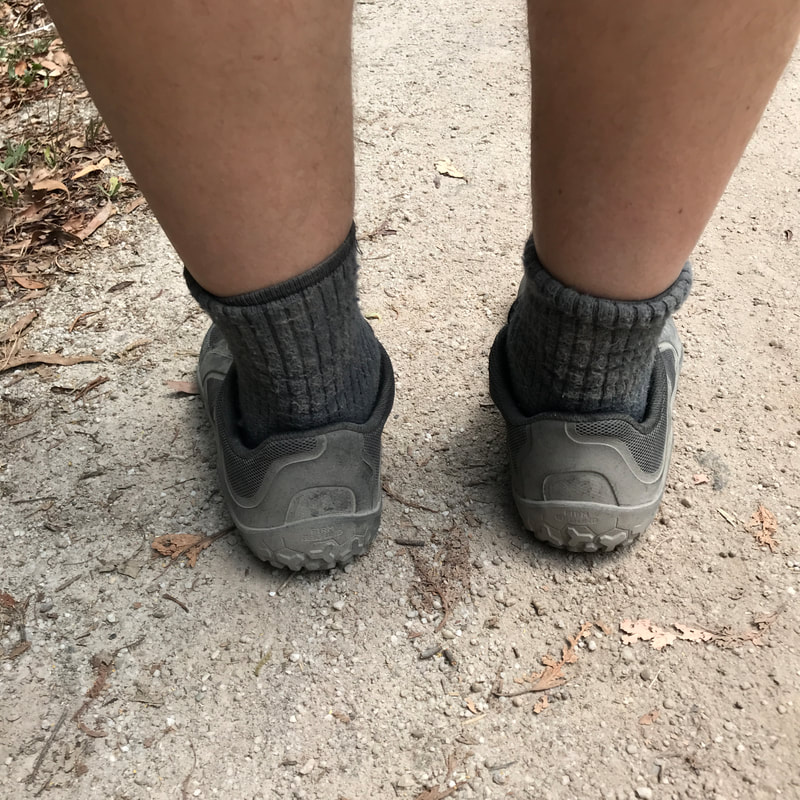
My old shoes with my little toe almost poking out of the hole in the side.
 Yeah, that's definitely a hole. | 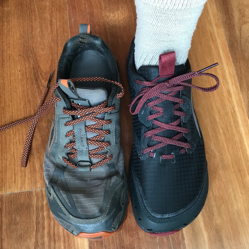 Old shoes, new shoes. Shame about the boring colour. |
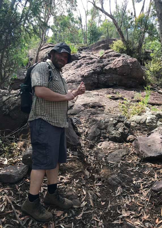
Speaking of my shoes, I was wearing my beloved Altra Lone Peak 4.5s. I got them about a fortnight before the first lockdown in February 2019. The day before this walk, I’d gone to Running Warehouse and bought a pair of the new Lone Peak 6s, but I thought I’d take the 4.5s out for a farewell hike. I’d worn down the tread fairly significantly, and the upper was not in good shape. A couple of hours into this hike, the threadbare section on the outside of my right foot completely gave way, and I had to walk the rest of the day with a big hole in the side of my shoe. I wonder if they’d had a chat to the 6s as they sat together overnight and decided they were ready to pass the baton on. The Lone Peak 6 seems like a similar fit overall - I’m not sure if the 2-3mm narrower toe box might just be because I’ve squished the 4.5s wider than they started - but my main gripe is that the shop only had the most boring colourway available in my size. As I’m probably going to need to change to new shoes sometime on the Heysen Trail, I might get another pair of Lone Peaks online - and if I can, I’ll get the extremely bright yellowy ones!
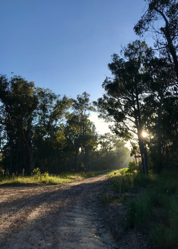
Back on the Moonee Ponds bike path after lunch. It started getting a bit hot and glary. Glarey? Glare-y.
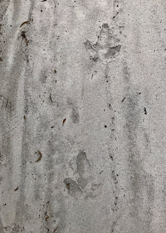
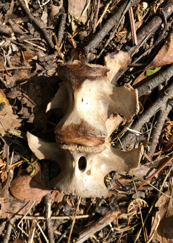
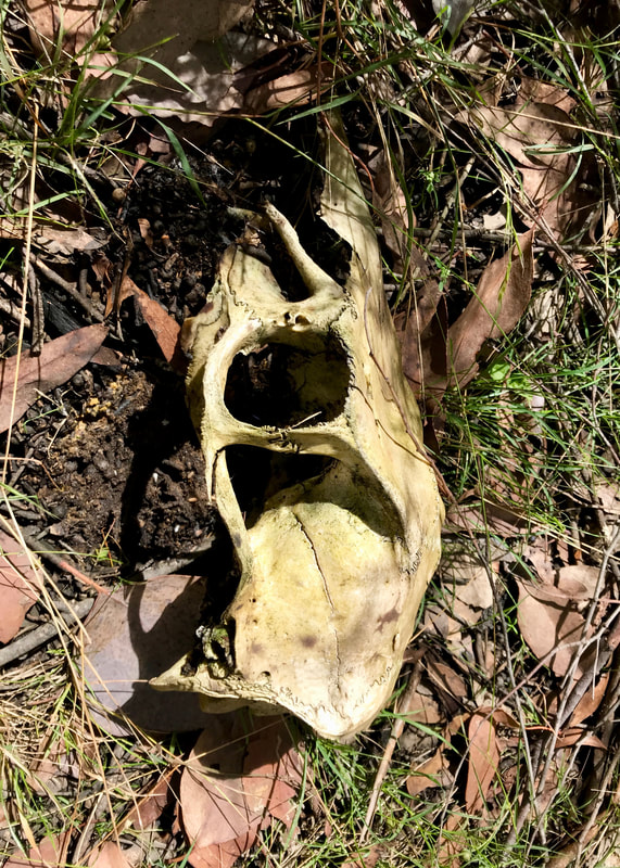
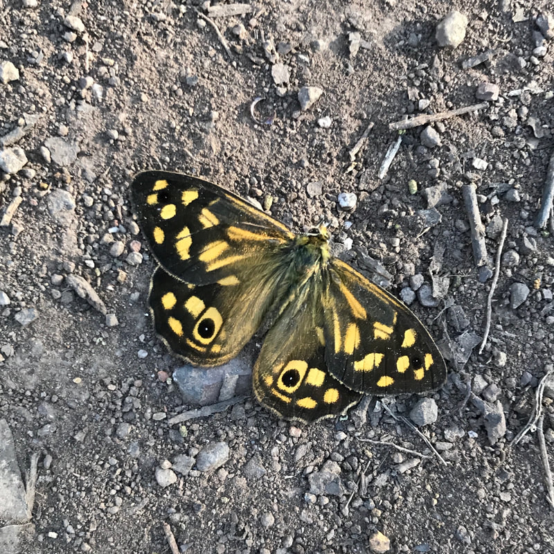
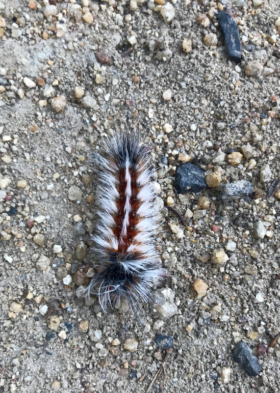 A cool, hairy caterpillar. | 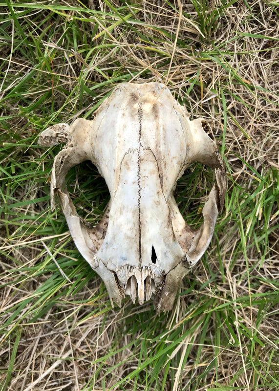 The last walkers who came this way. (Kangaroo skull.) |
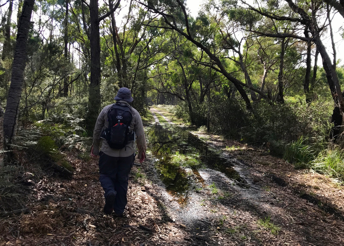
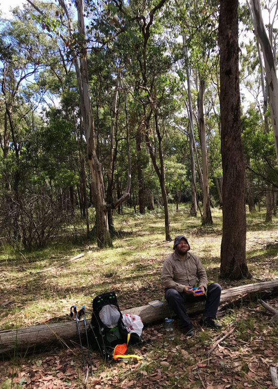
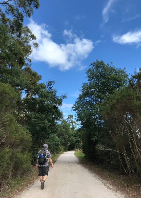
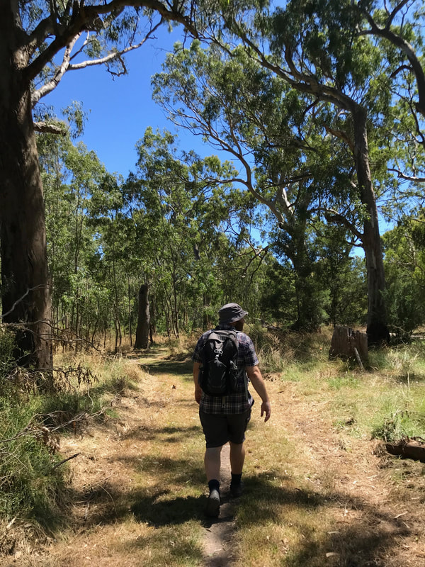
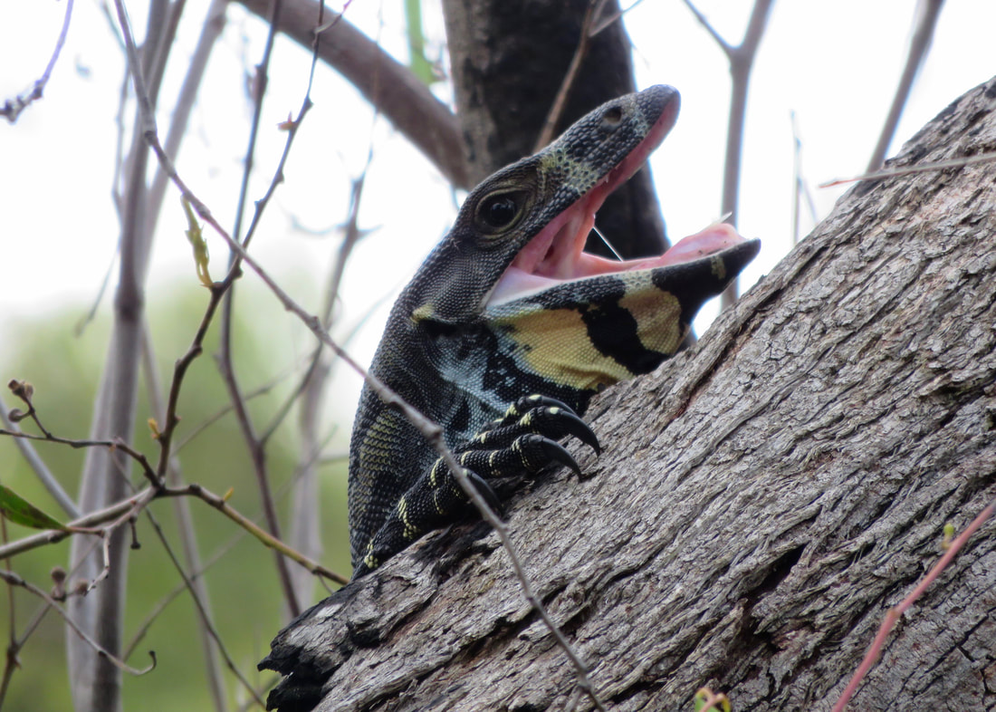
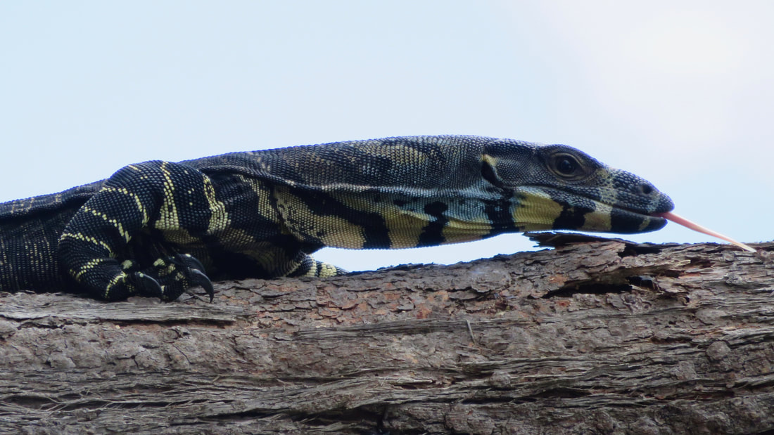
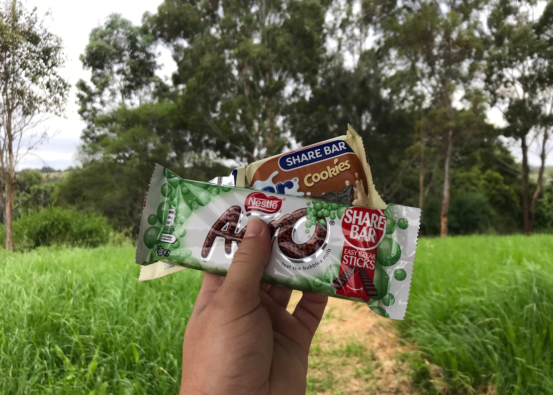
Lunch was at about the 16km mark, and we were getting pretty tired. After our nice break, we hopped back onto the Moonee Ponds Bike Path and vowed to take every short cut we could on the way back to the car. We were pretty confident we’d still have walked over 20km. The sun came out, so we found a patch of shade and re-applied sunscreen. The lizards also came out with the sun - we loved spotting a little jacky lizard beside the path! Soon enough, we were heading out of Woodlands at the same place we entered, following the trail south (not into the weird ex-quarry!). After the cool, overcast morning, the sun blazing down was a bit of a shock to the system. We stopped a few times in shady spots, followed a couple of good shortcuts and a couple that didn’t work out quite so well (sorry, Dan!), ate another bar, drank the rest of our water… and 1 hour and 45 minutes after lunch we were back at the car. For those of you playing along, yes, it was almost exactly 7km.
Notes
Just a reminder, this section is about my fitness and other considerations for a long walk later this year. If you’re not interested in that, please skip over it!
I was definitely achy after this walk, but I think I recovered more quickly than last time. It was varied enough in terrain and surface to save my feet - but I did opt to walk on the grass beside the path for a few kilometres. The blister under my toe didn’t really reemerge - I kind of have a callus there now, so I hope that stays and stops any further blistering. I stretched a little bit during the walk and a little bit afterwards. Dan gave my feet a rub in the evening, so they were all good the next day. (Thanks, Dan!)
Heading back around the other side of the bandicoot enclosure, to the edge of the park.
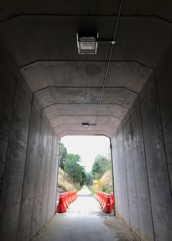
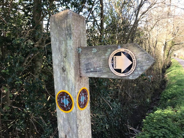
 Inside the sketchy tunnel again. At least it gave us some shade and framed the view! | 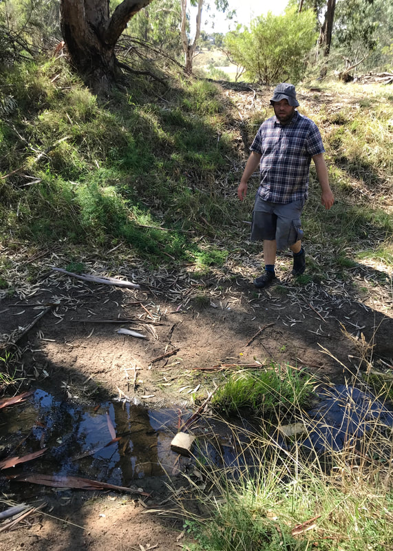 Dan, enjoying one of my worse short cuts. |
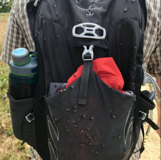
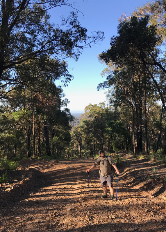
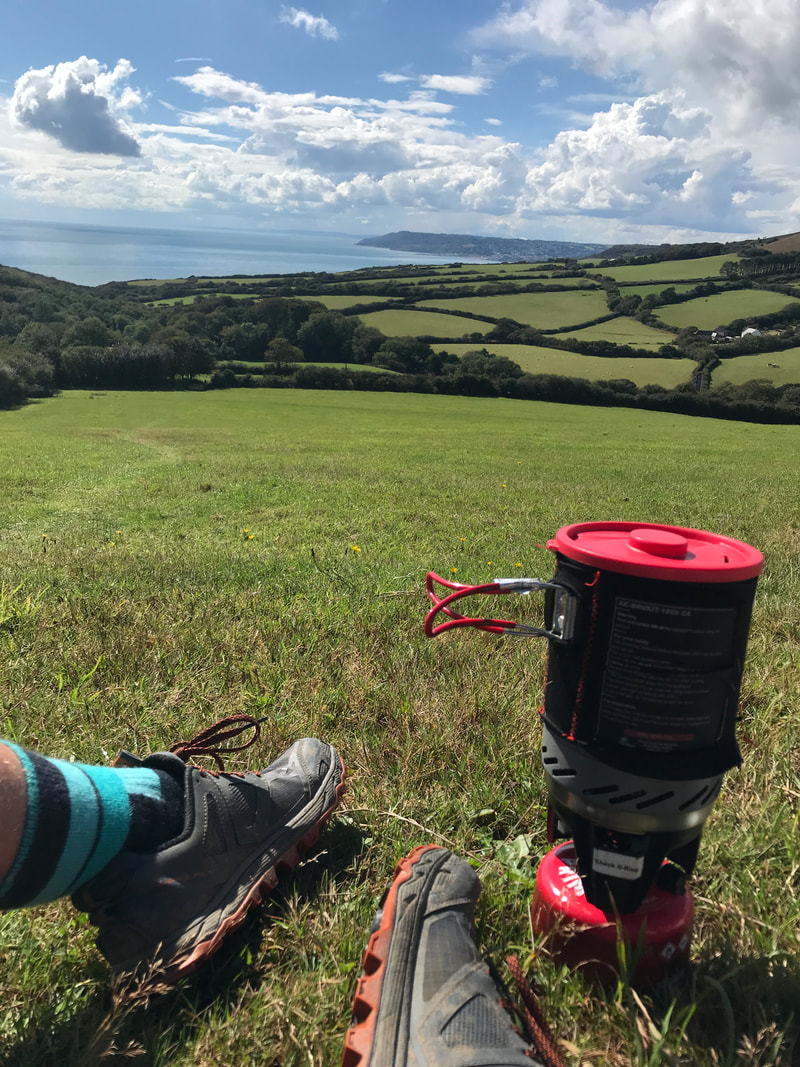
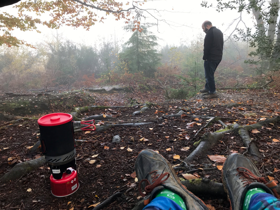
Gear-wise, I didn’t take my trekking poles on this walk. I noticed that without them I tend to grab onto the shoulder straps of my bag or tuck my hands in. Also, I get a lot more distracted by the way my pack fits, how tense/loose each strap is, where it’s sitting on my hips. It’s kind of irritating! So maybe using the poles all the time has other benefits than just saving my knees. I put my audio recorder in my bumbag, to have it handy. I took a couple of recordings which I probably wouldn’t have done otherwise. I think a bigger bag will definitely be good. I can’t believe I am soon going to own TWO bum bags. I don’t care what the fashion houses told you in 2020, they are extremely dorky.
(Note: I bought a big old bum bag from an op shop a day or two after the walk - more on that in future posts!)
(Note: I bought a big old bum bag from an op shop a day or two after the walk - more on that in future posts!)
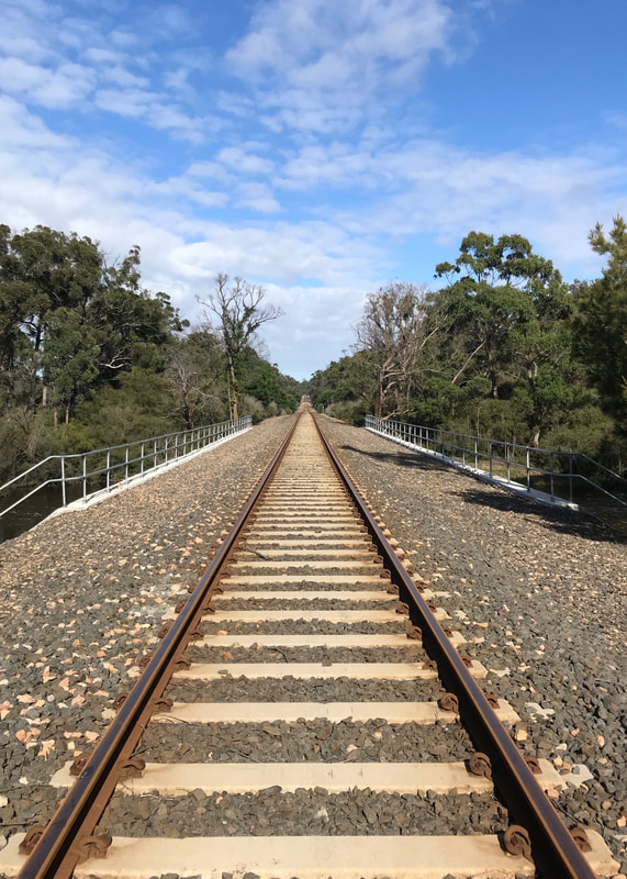
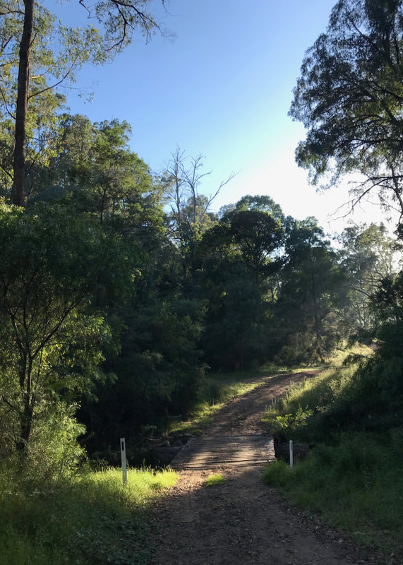
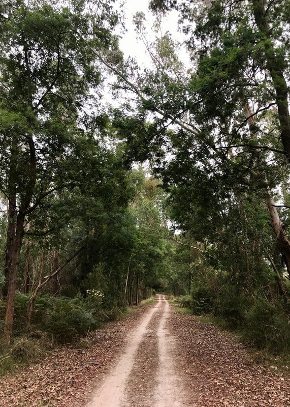
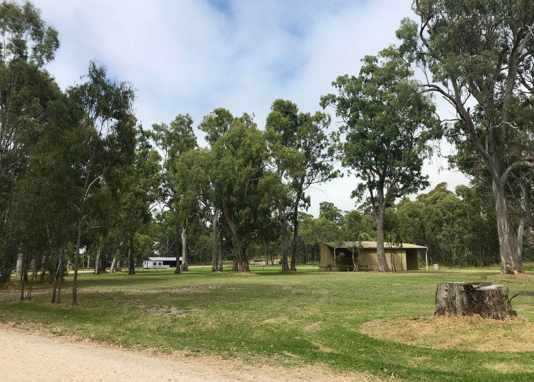
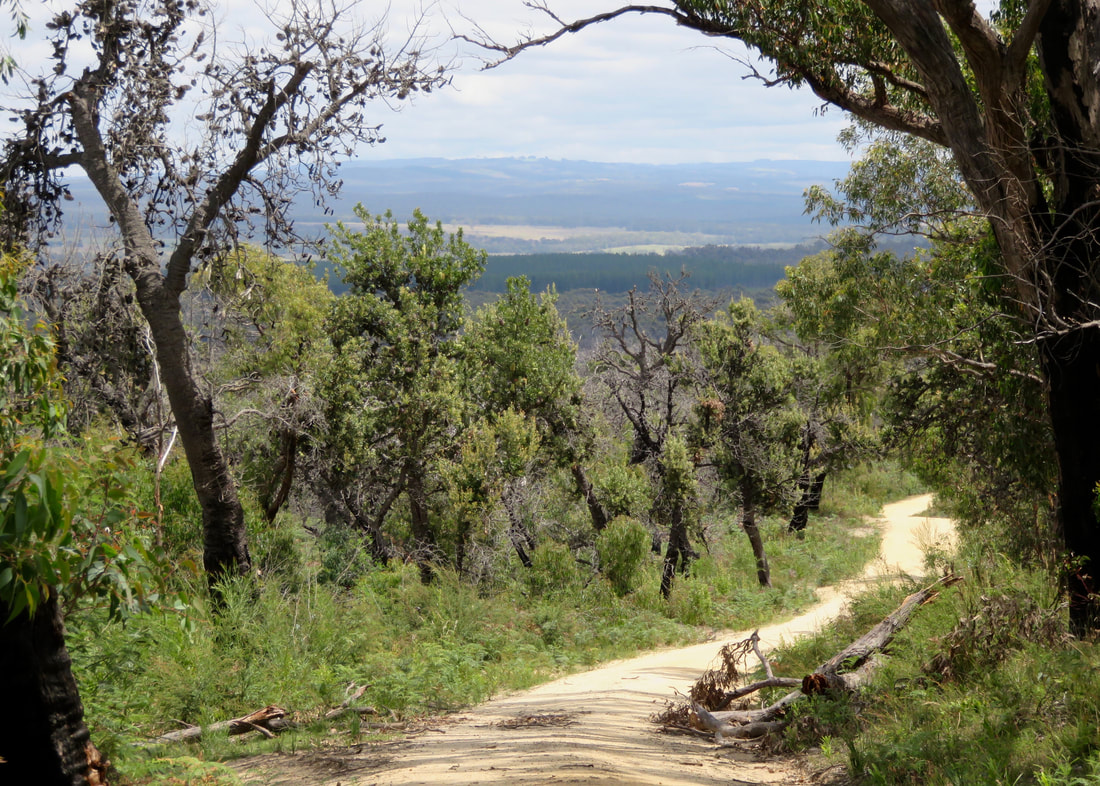
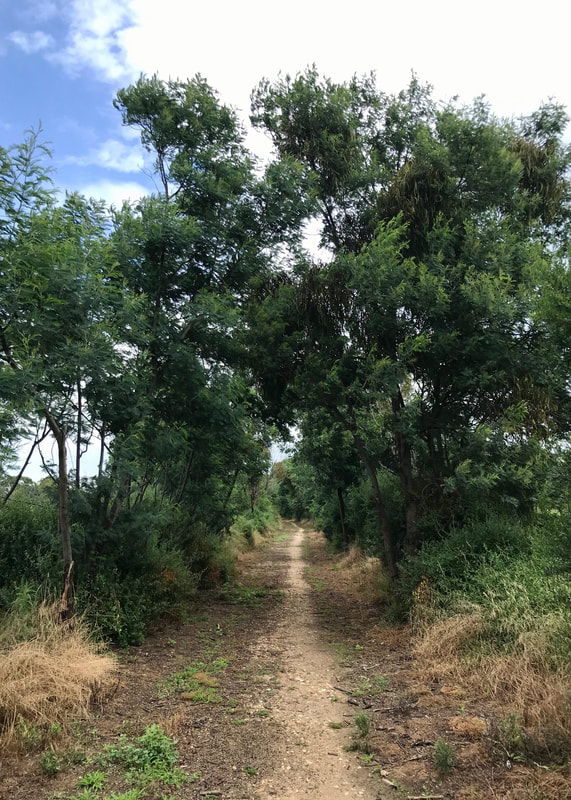
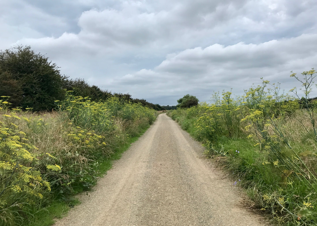
On the way back - the reverse view of the third pic in this post. not a whole lot of shade.
We completed just under 23km in 7 hours, and I reckon we were probably stopped for a bit under an hour for our main breaks, which puts us at 23km in a little over 6 hours, or slightly under our 4kph standard. The jump from 15ish to 20ish kilometres is partly psychological. It’s not so difficult for me to walk 15km before lunch (we did that on this walk, in fact), but a 20km walk I have to think of as being more of an all-day affair. Once I get more in the headspace of walking all day, I think the move to 25km and then 30km might be a little easier. (I mean, 25km would only have been another half an hour or so on this walk.)
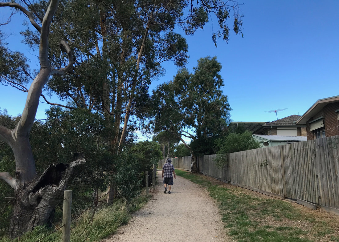
Back into suburbia for the last few hundred metres of the walk. Looking forward to a drink and the car's A/C.
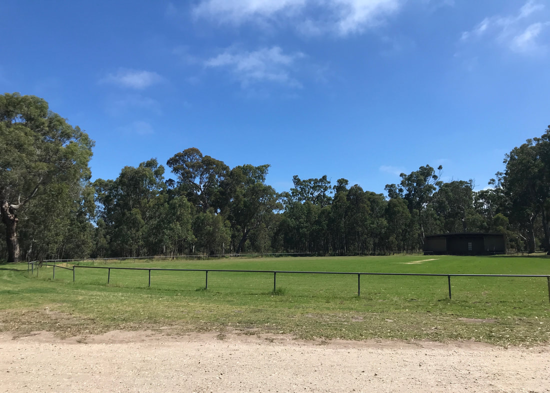
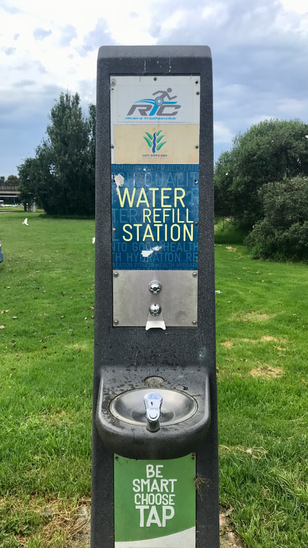
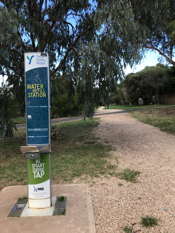 Nice to see another water refill station in the wild! | 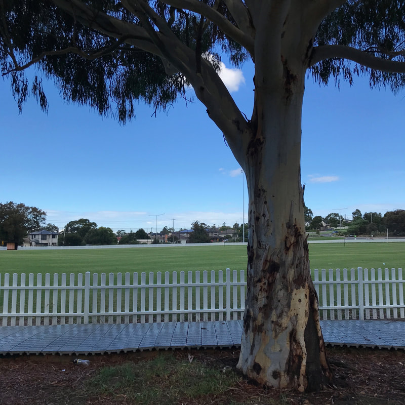 Back at the carpark beside the oval. |
I’ve also been thinking about how much water I drink when walking. On this day I walked 23km - on relatively easy terrain, in slightly warm weather - with 1 litre of water and half a bottle of fizzy drink. However, I did have a good drink before I started and another big one after I finished. This is good to know when walking long distances between water sources/tanks so I have enough to drink (and a little spare) but don’t end up carrying loads more than I need. Water is heavy!
Woodlands Historic Park and the Moonee Ponds Creek are in Wurundjeri Country. Sovereignty was never ceded and this always was, and always will be, Aboriginal land.


 RSS Feed
