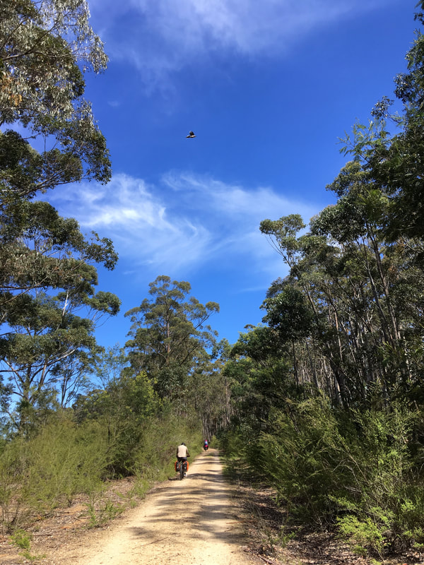
Bikes, birds, bats and butterflies on the Gippsland Plains Rail Trail.
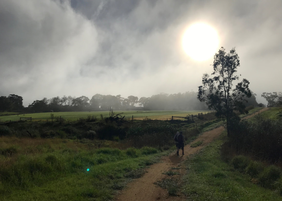
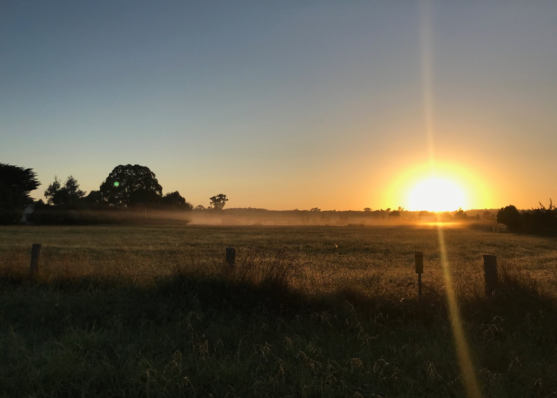
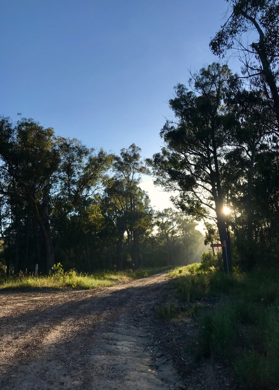
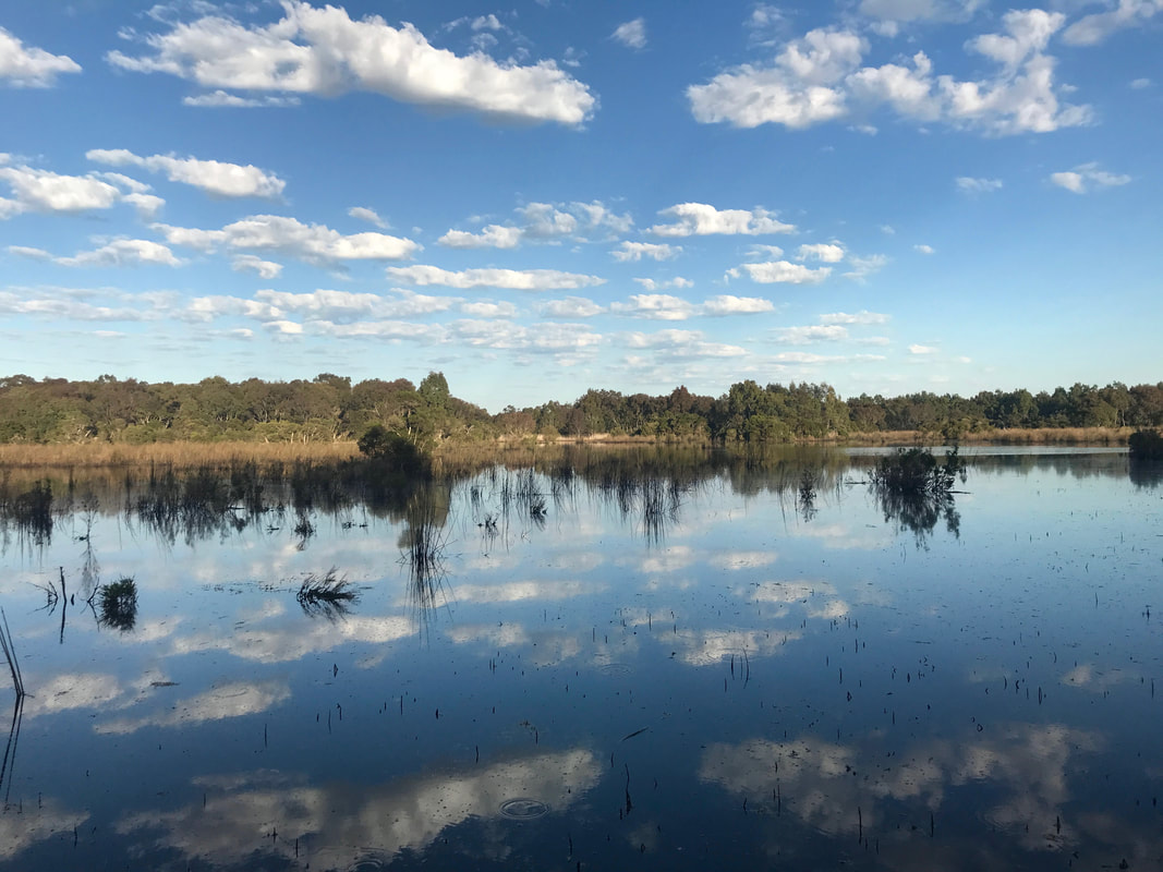
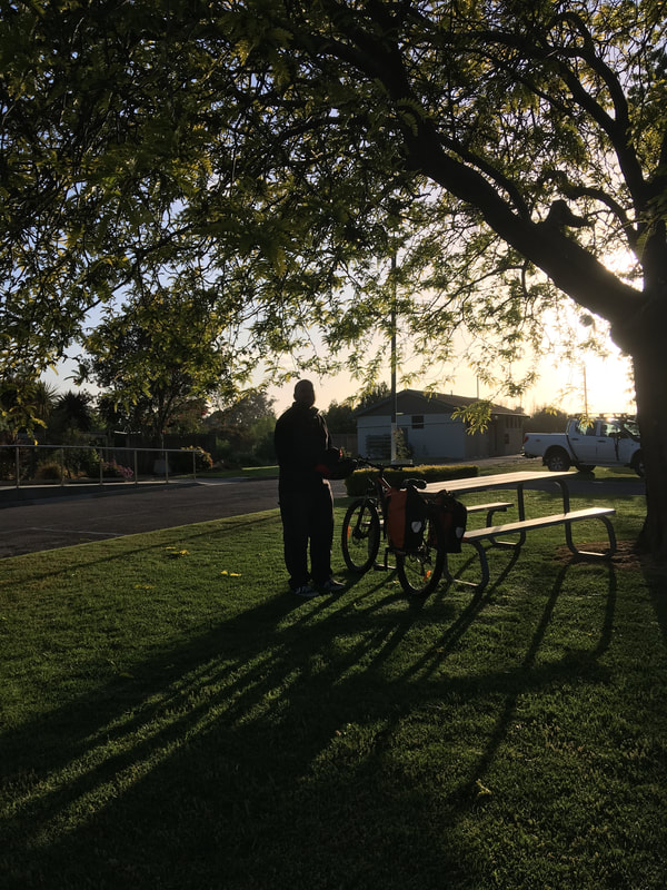
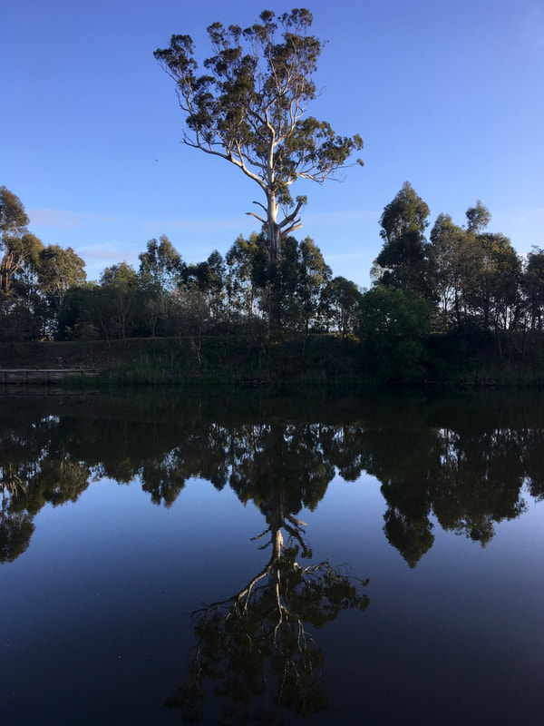
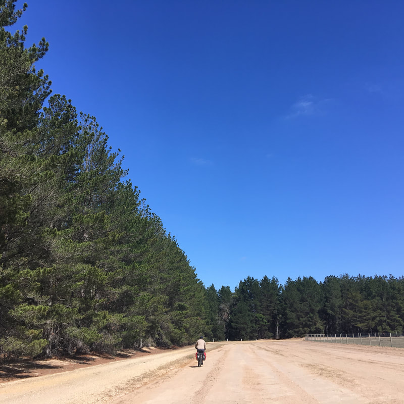
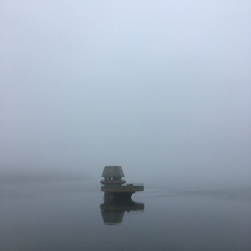
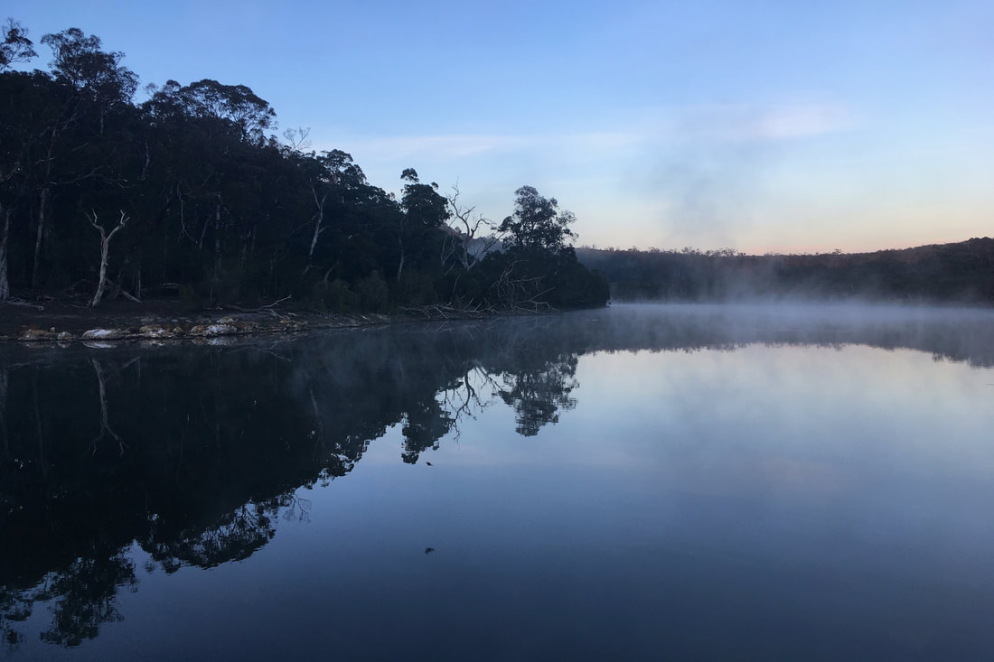
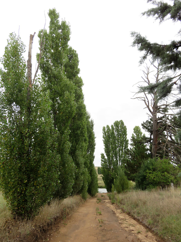
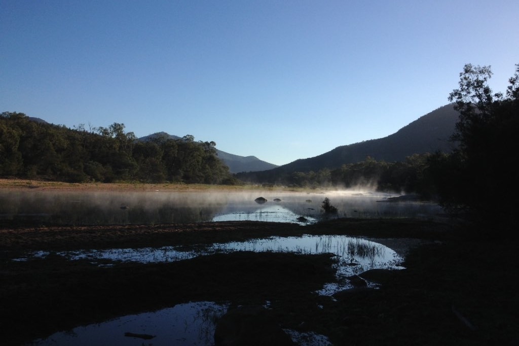
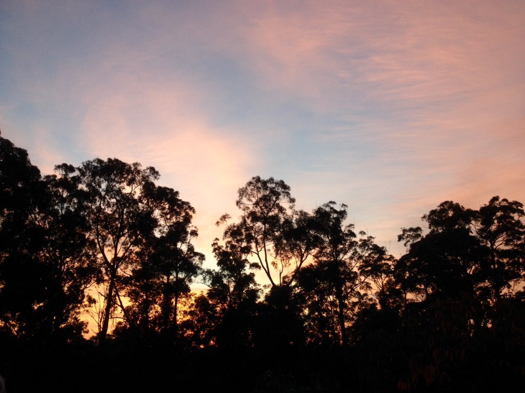
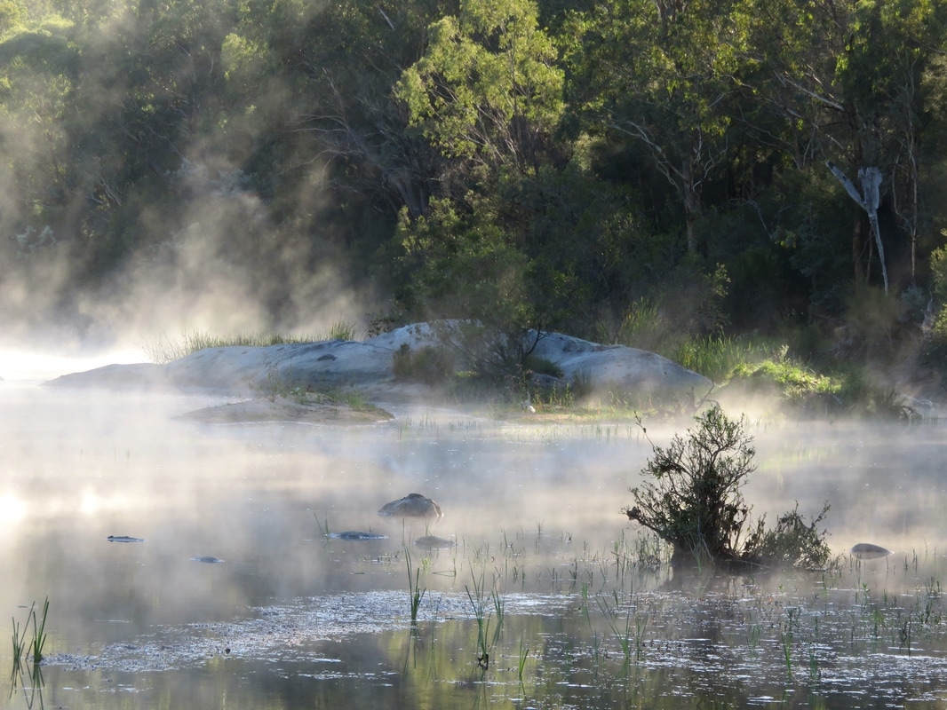
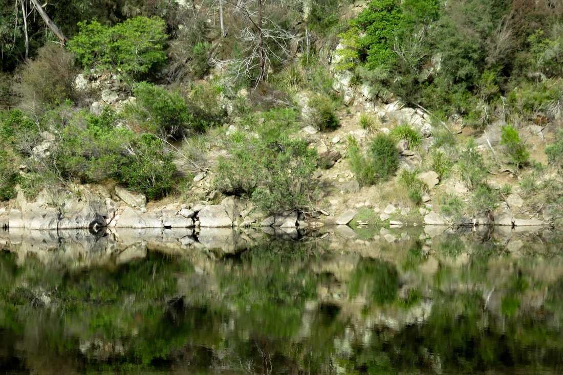
Setting off from Tinamba into the luminous morning mist.
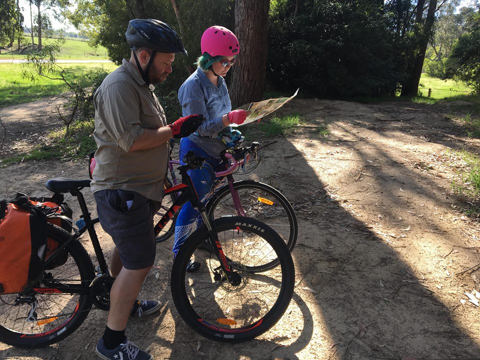
It felt like February was ending before I fully got into the swing of it, and I realised I had to get the skates on if I wanted to get my fourth walk in! I mapped out a few routes in the area, but in the end I went for the close, easy option: another bit of the Gippsland Plains Rail Trail. Yep, that makes three of my four February walks on rail trails!
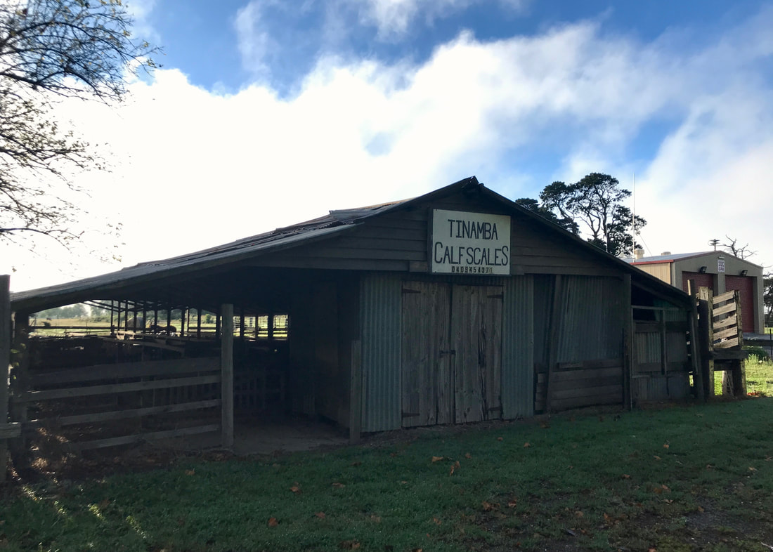
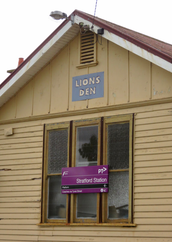
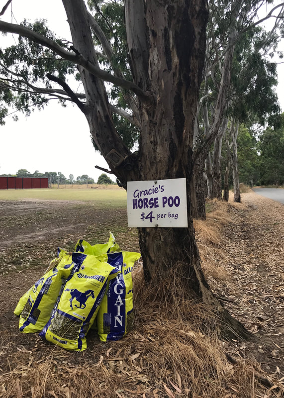
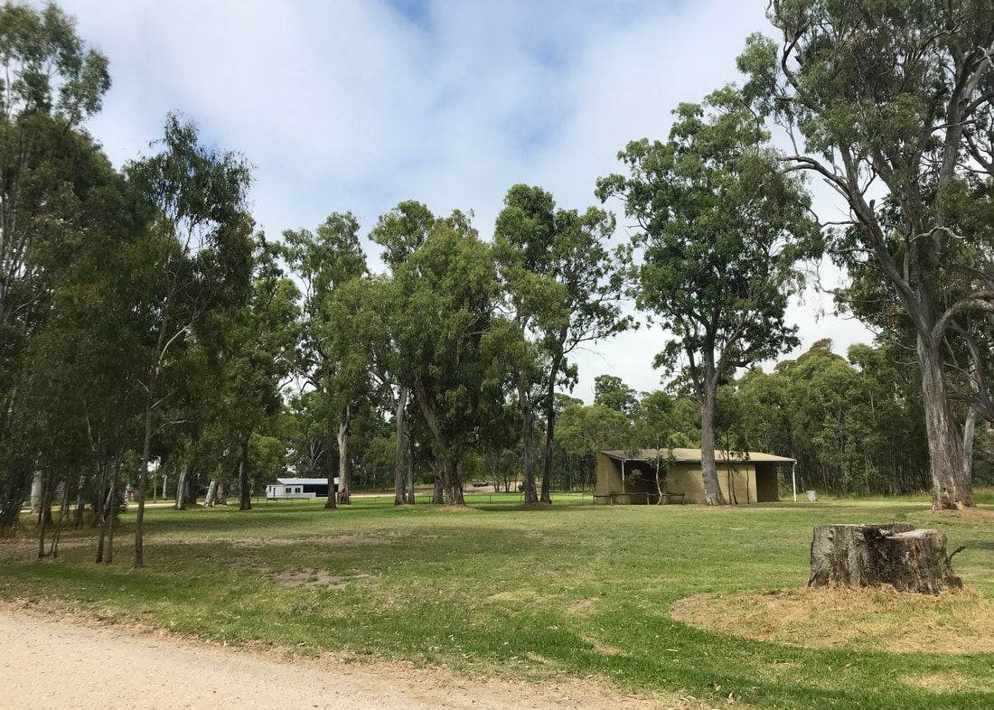
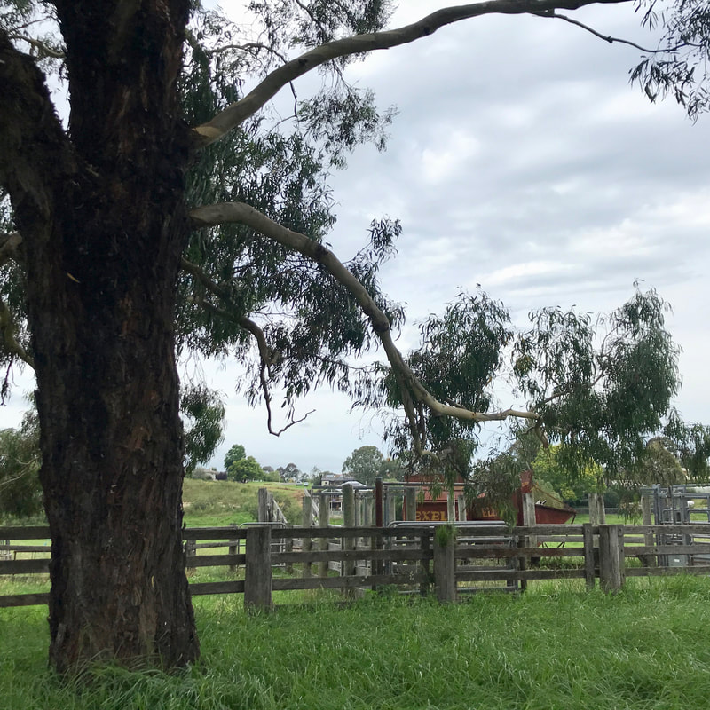
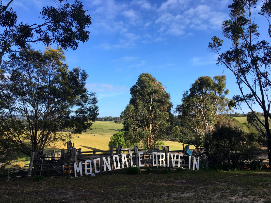
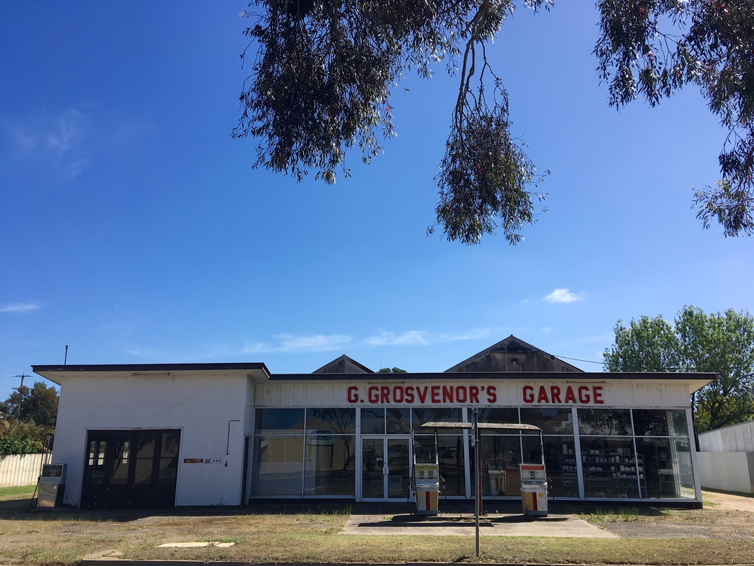
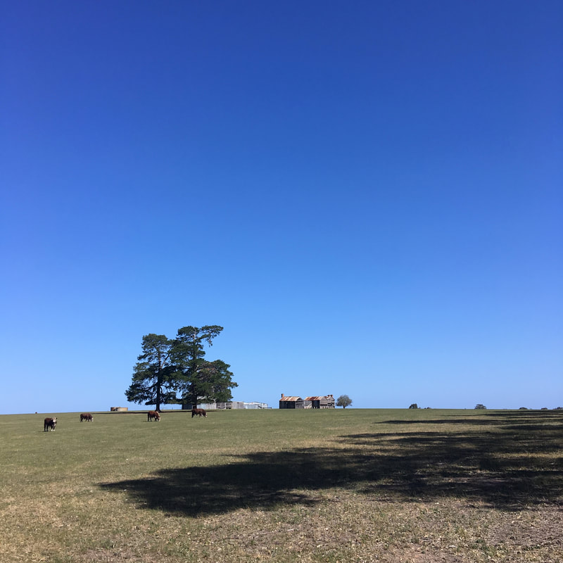
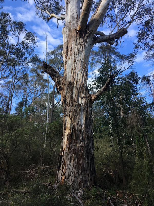
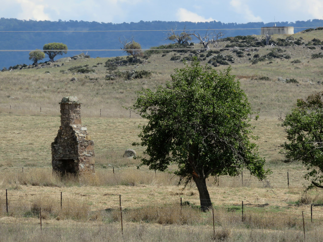
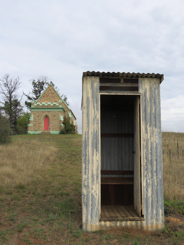
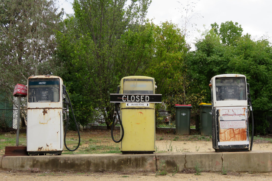
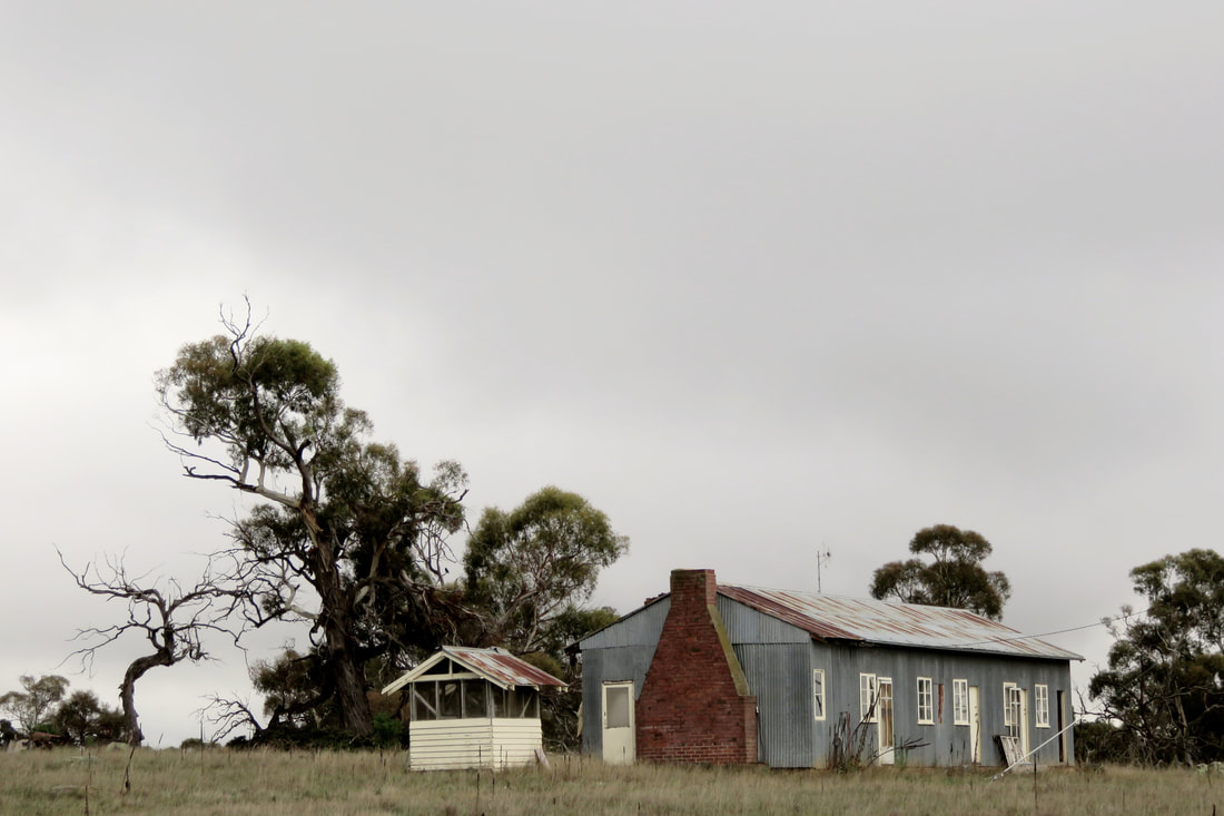
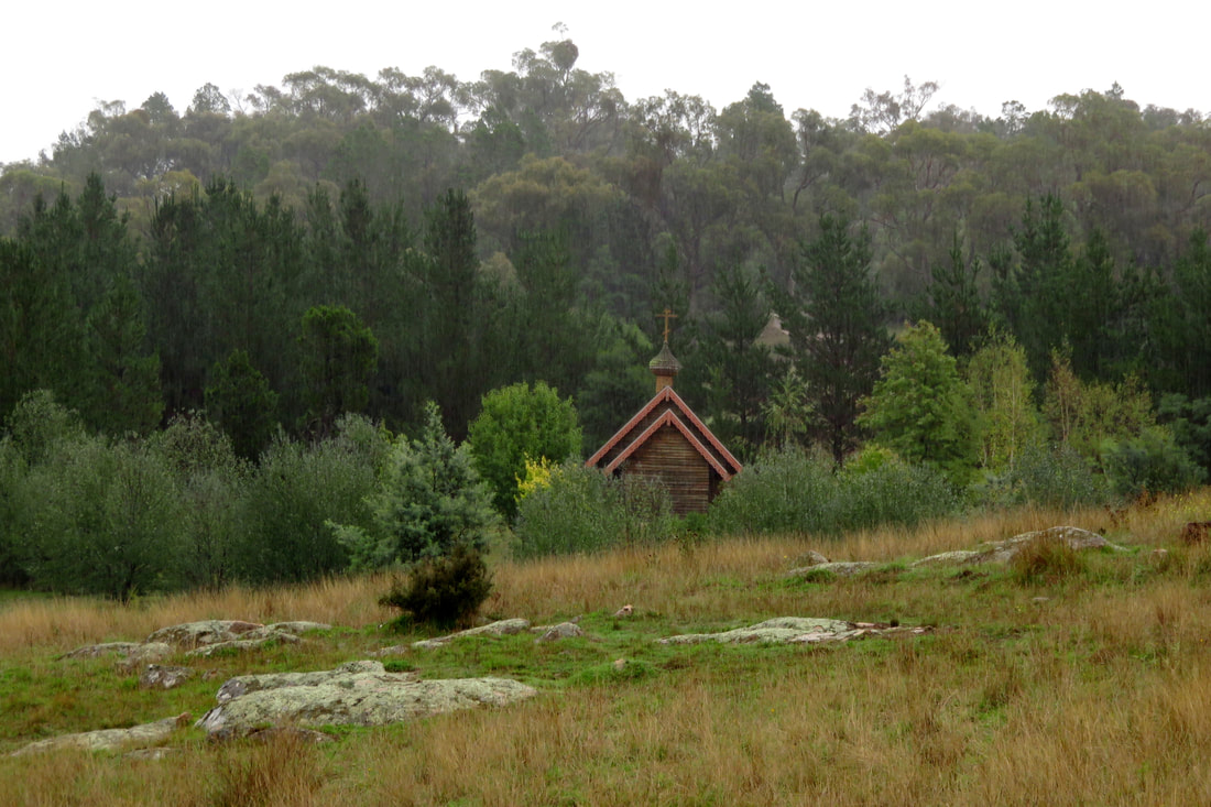
Nice to see some old rural buildings still standing!
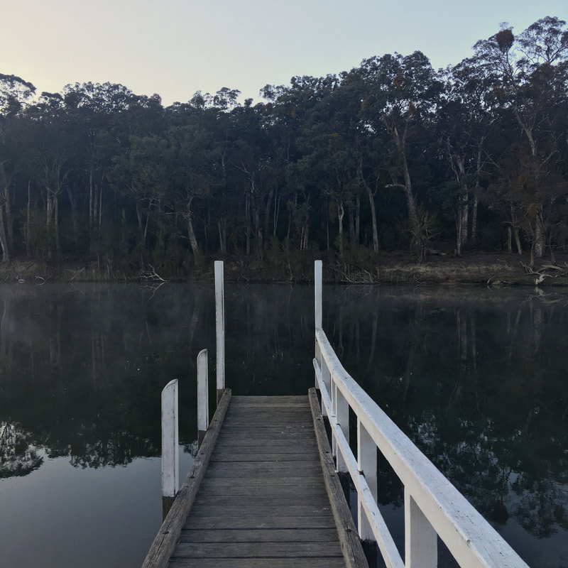
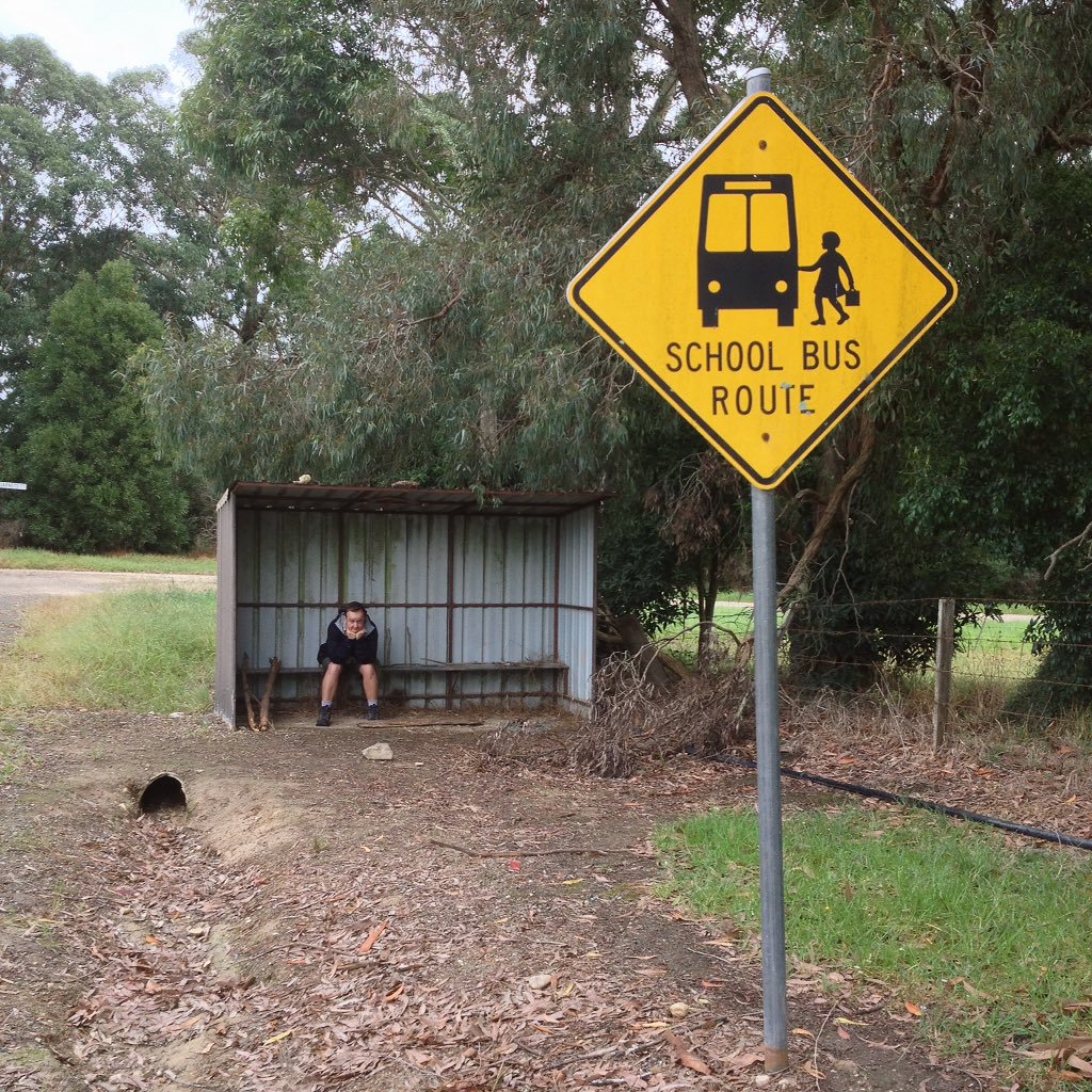
I think we might be waiting for the train for a long time.
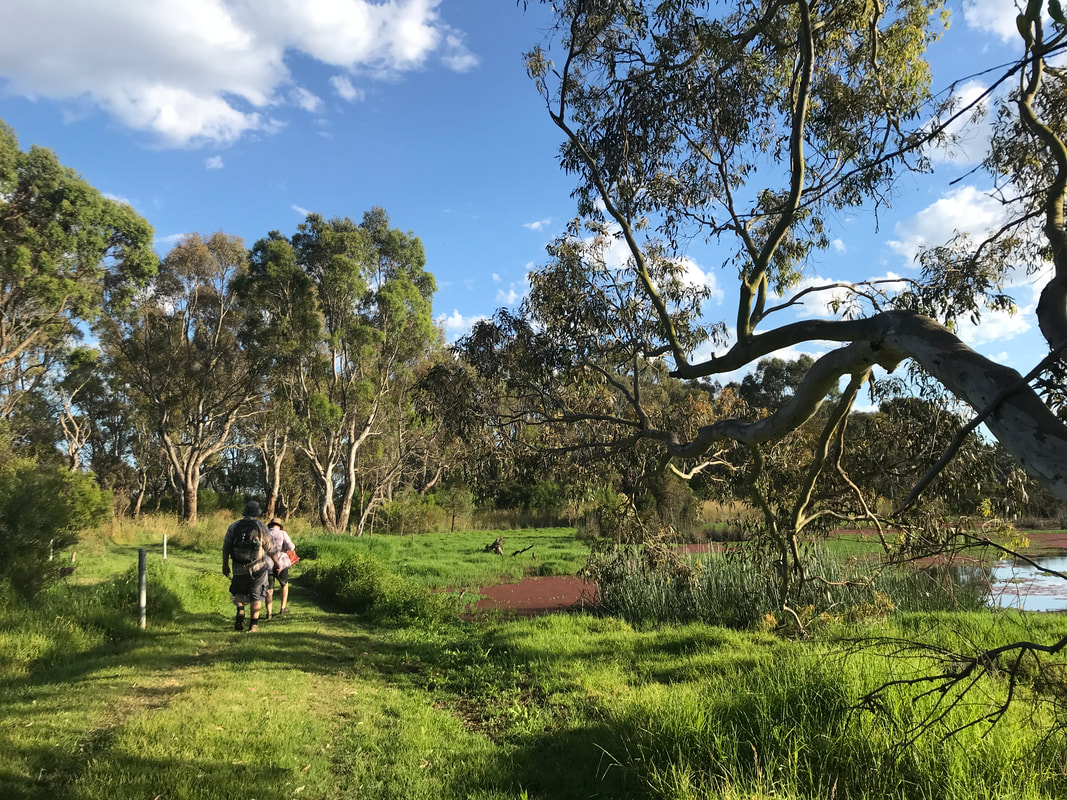
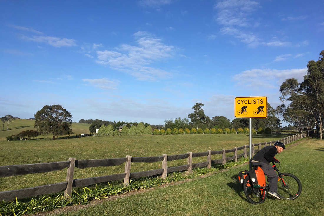
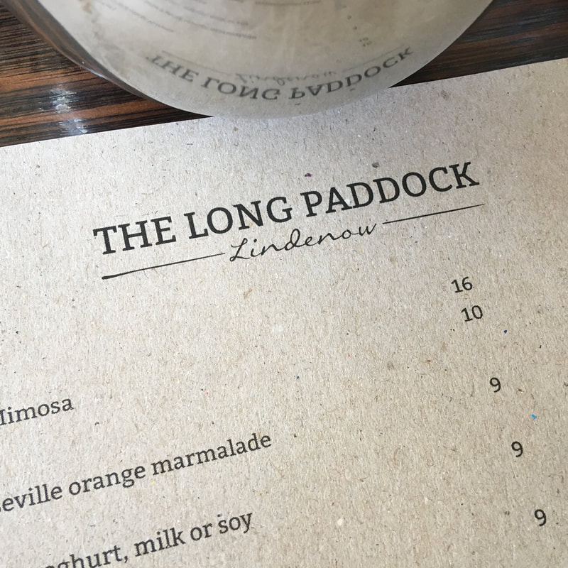
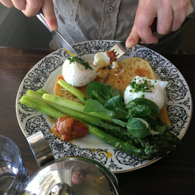
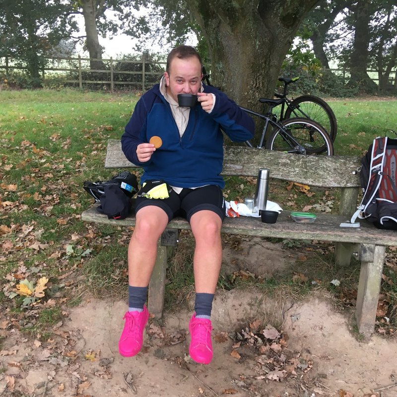
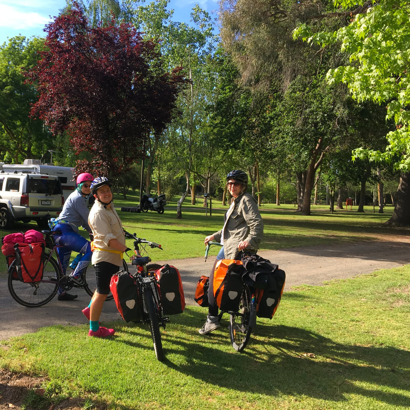
It ended up being a family adventure. Mum came with us to Tinamba, leaving her car at Maffra, and walked the first half back to Maffra with us. Meanwhile, Dad cycled to Maffra as well, meaning we all got to have morning tea together at The Pickle Pot. Then my folks did some shopping and took Dad’s bike home in the boot of their car, while Dan and I turned around and walked the 8-point-something kilometres back to Tinamba.
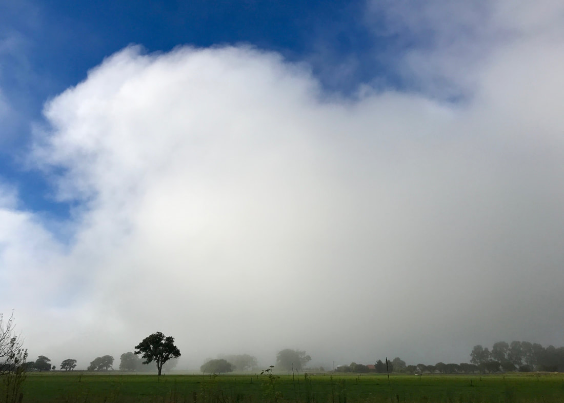
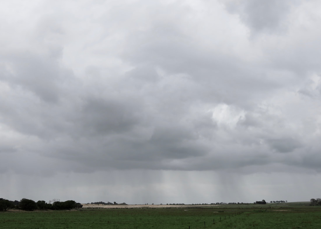
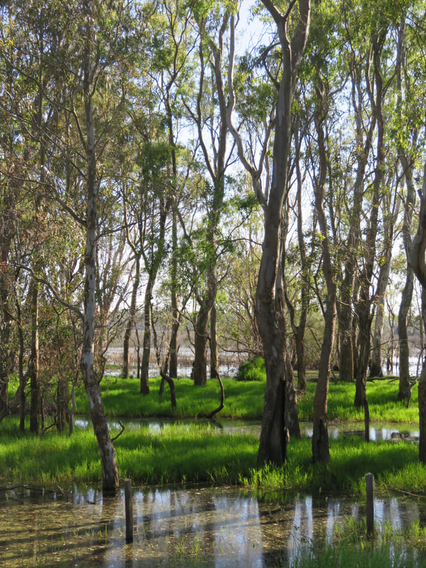
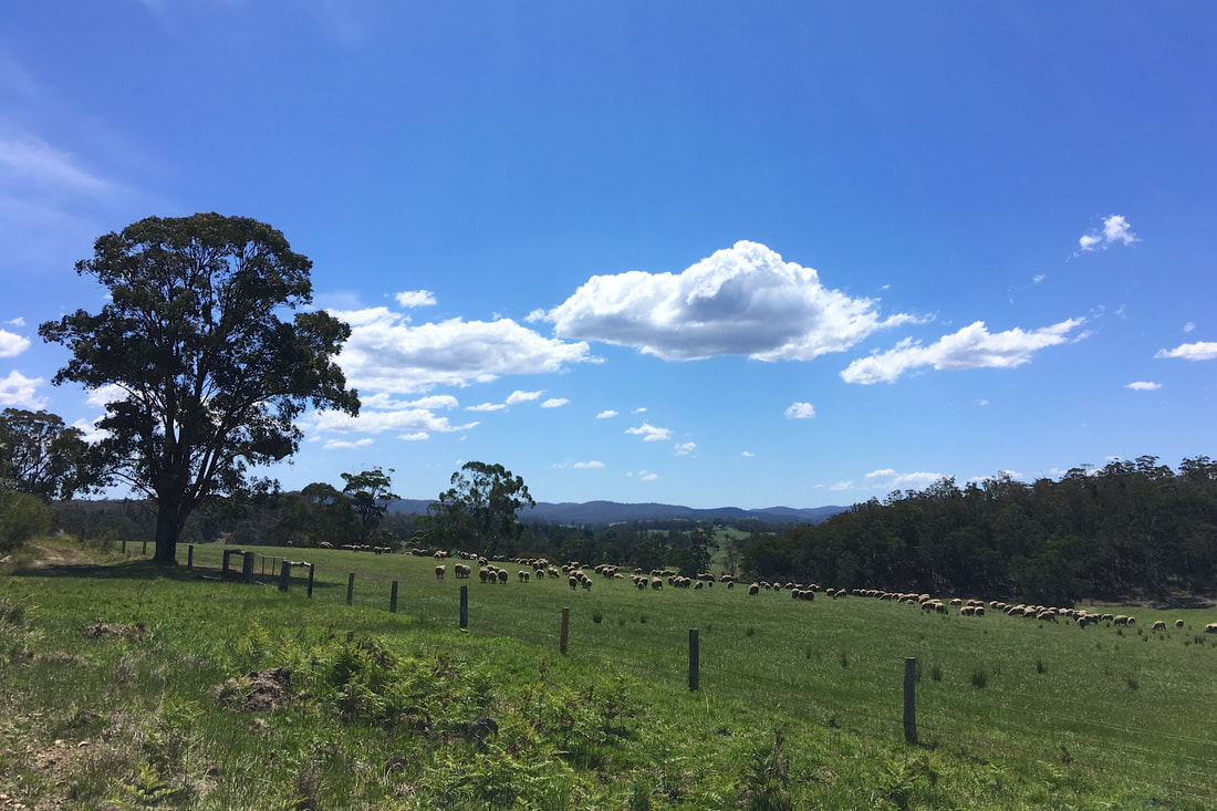
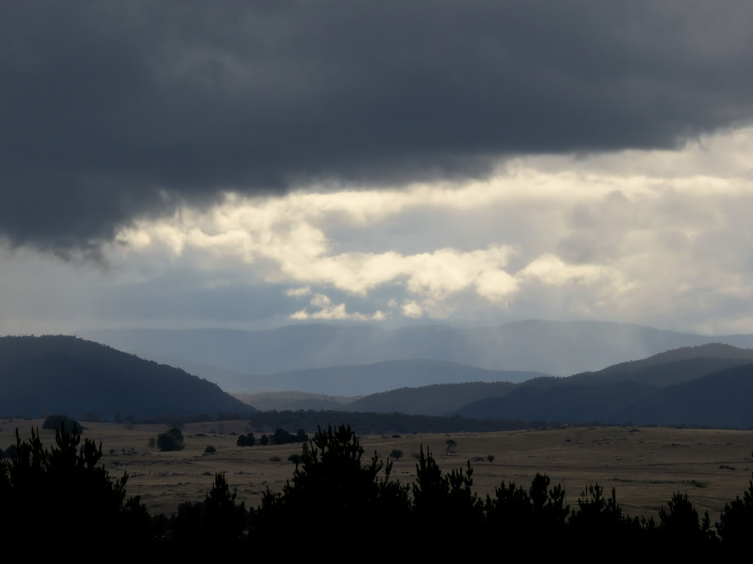
I loved watching these huge, foggy clouds lift off the plains.
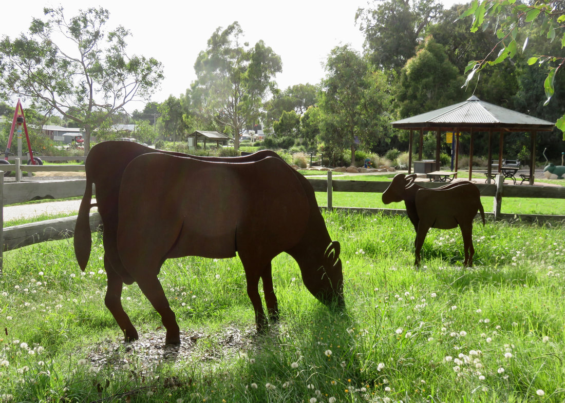
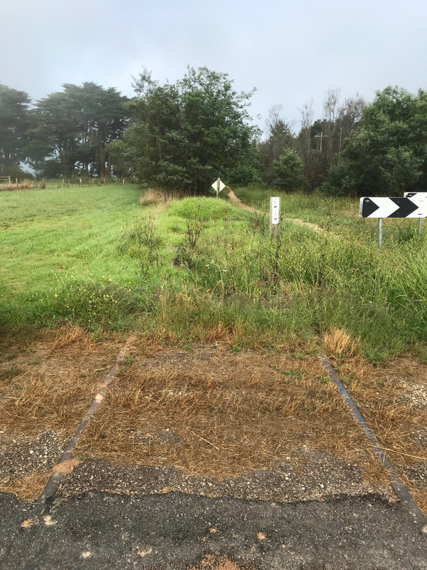 Remnants of railway line. | 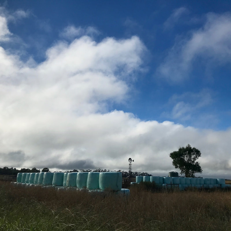 Mum's favourite bit of any view: hay bales! |
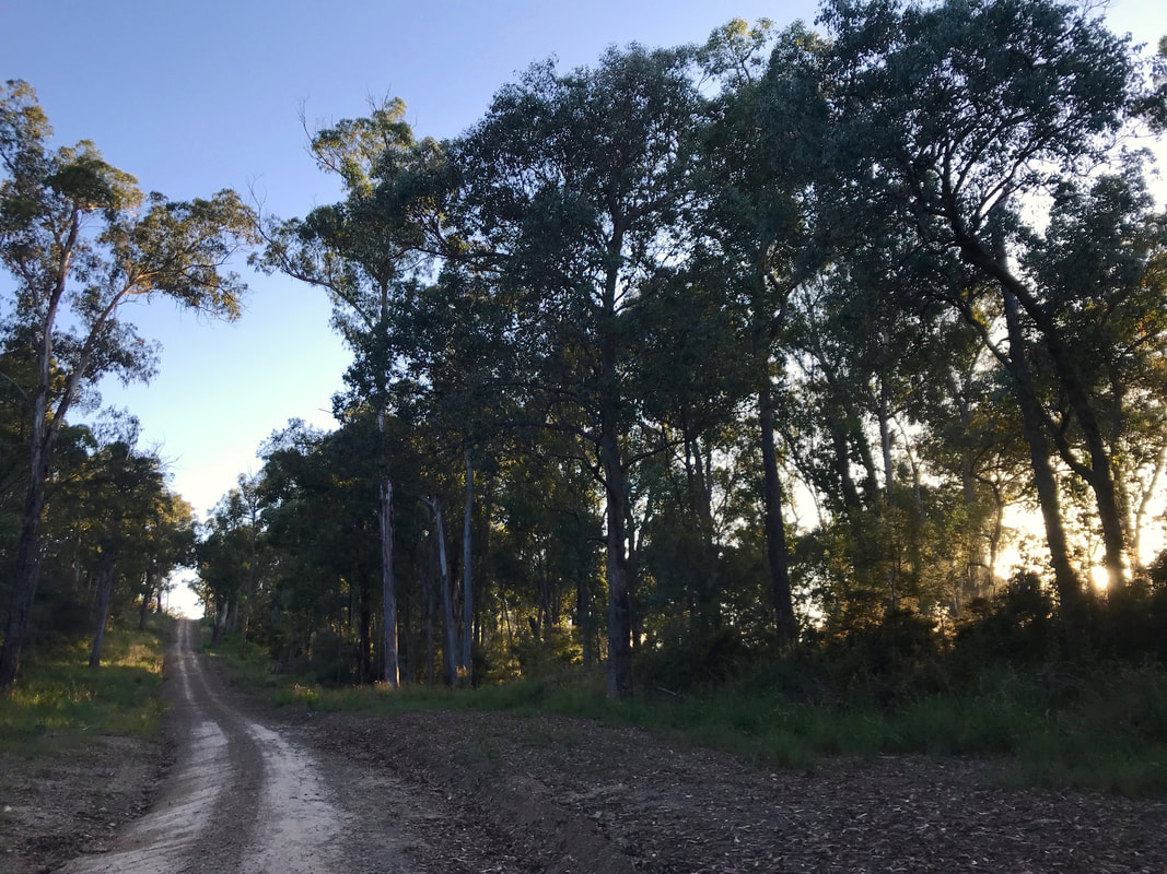
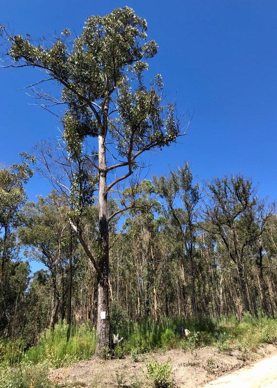
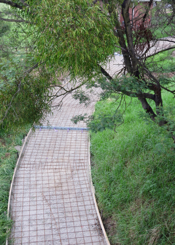
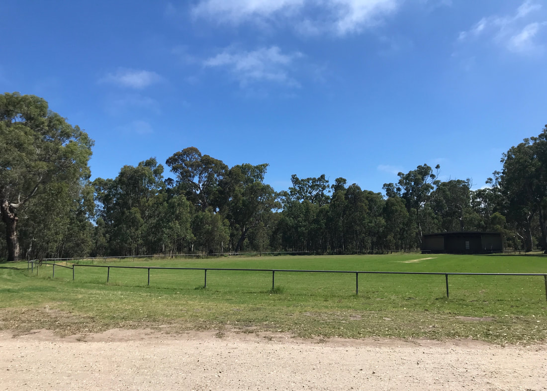
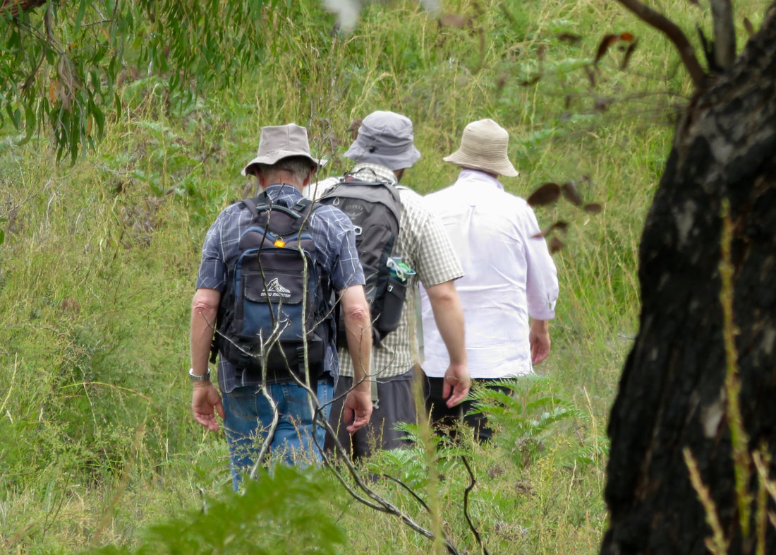
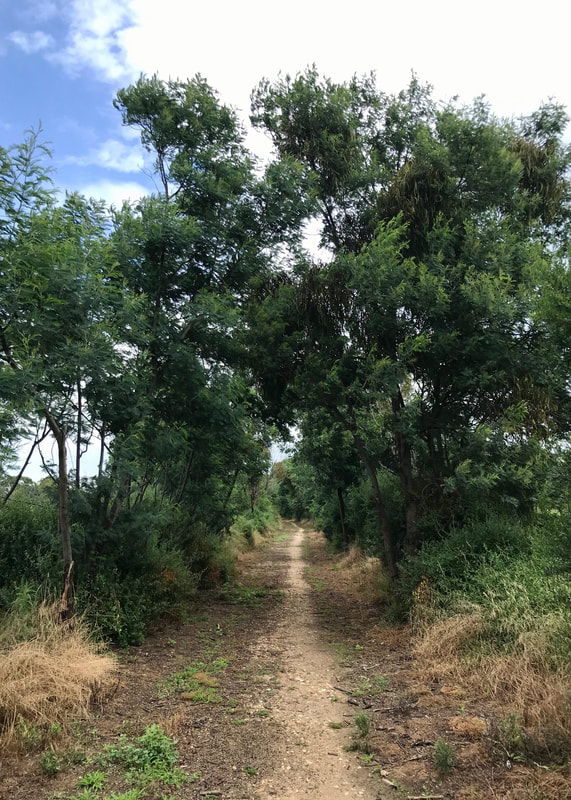
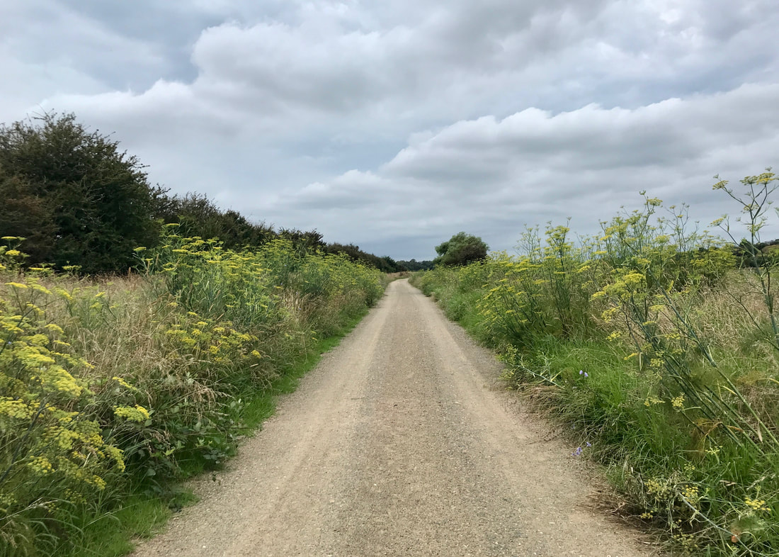
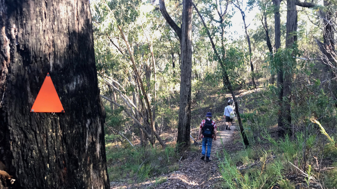
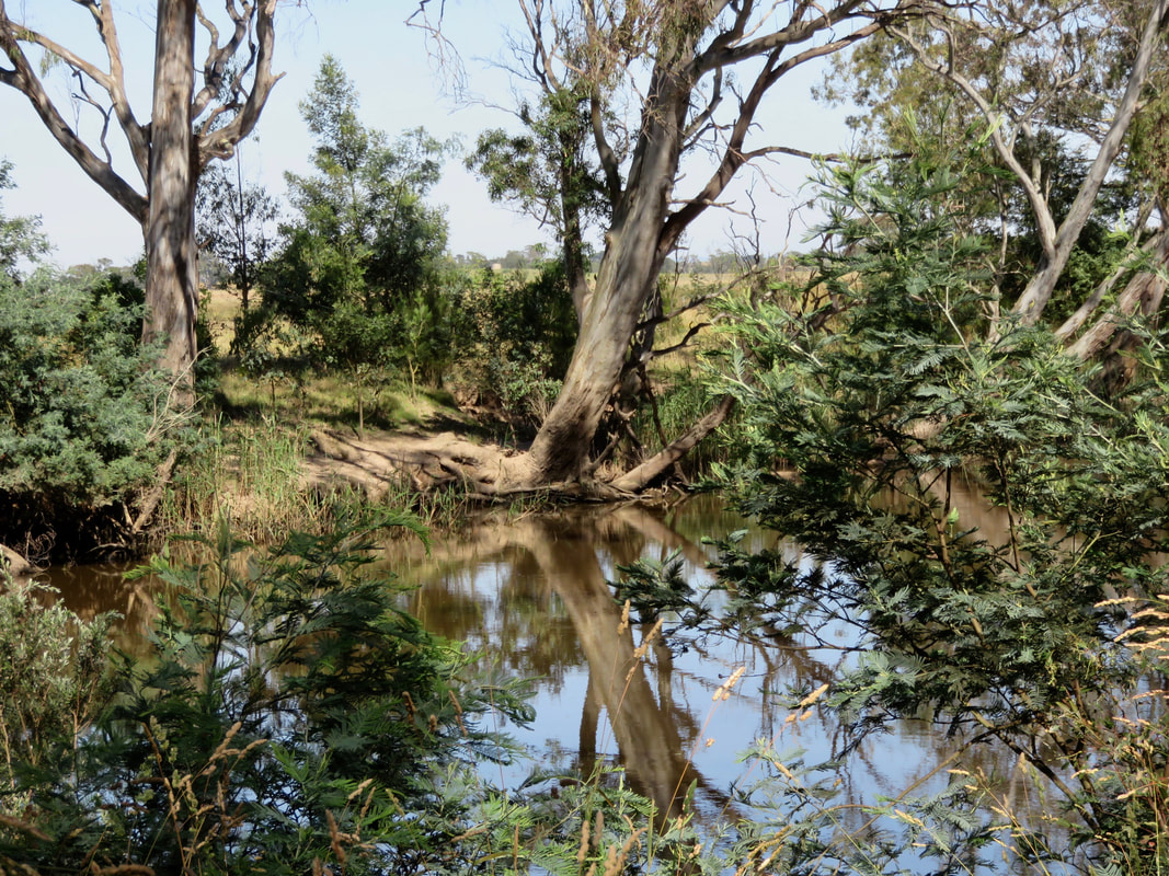
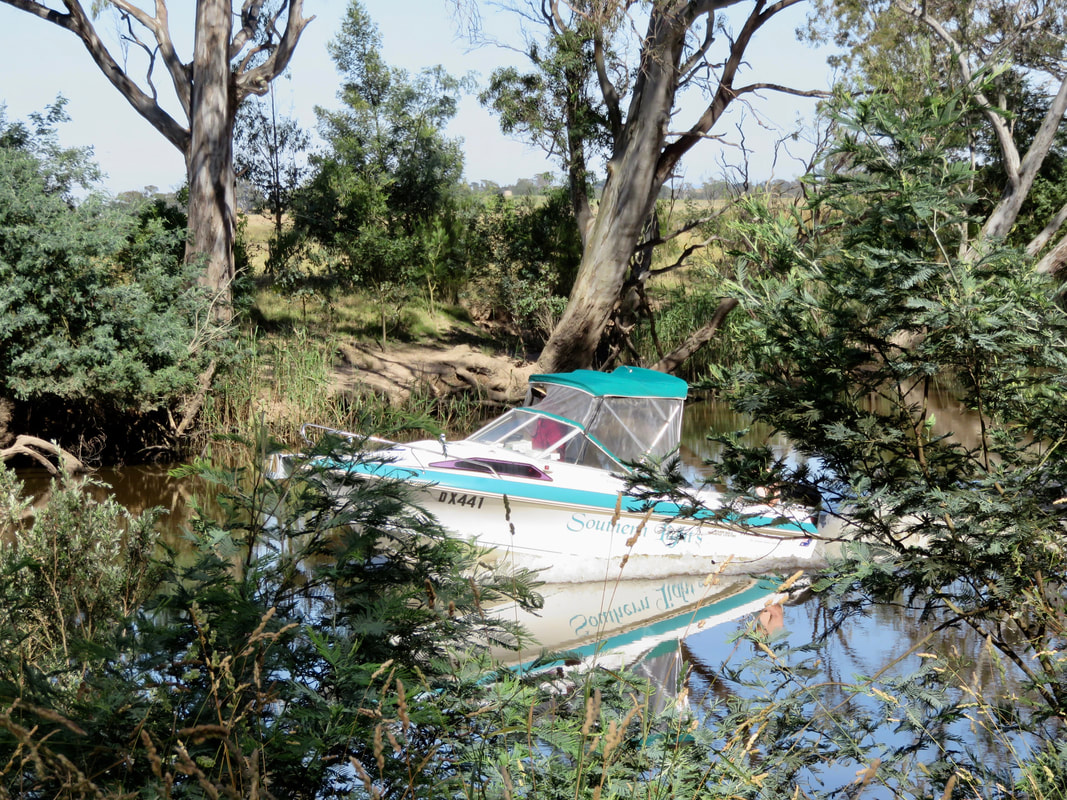
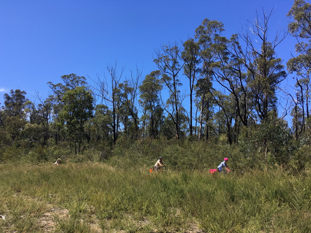
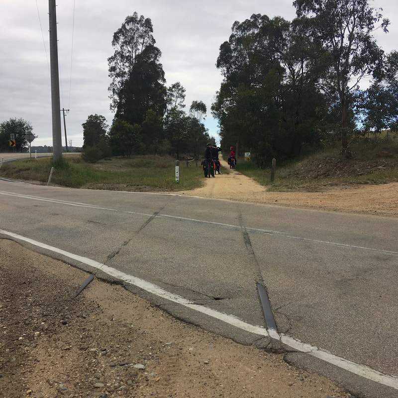
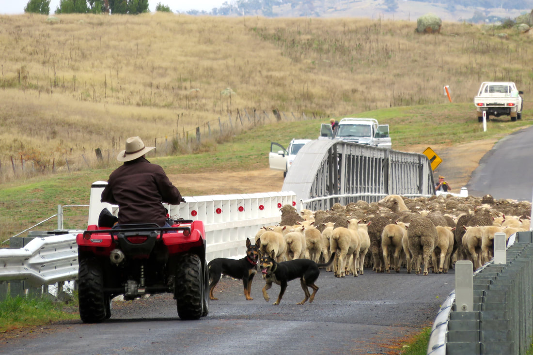
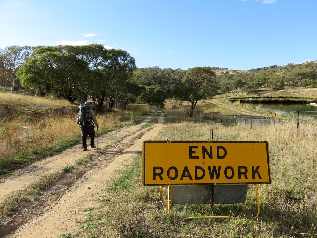
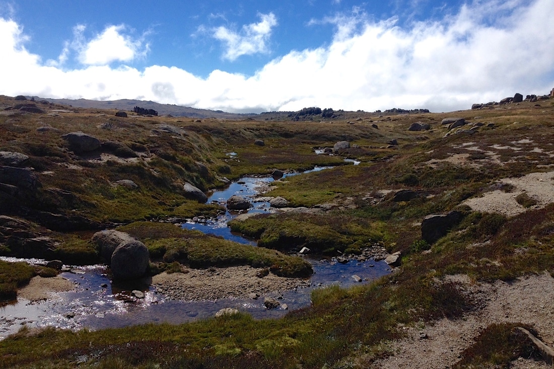
There’s not much to say about the trail itself. It’s mostly flat and straight, the surface is hard-packed crushed gravel and the grass is encroaching a bit (we did see someone on their ride-on mower clearing up the sides when we were on the way back). It’s quite exposed apart from the last kilometre into Maffra. We saw a lot of people out and about: several solo cyclists, a couple of pairs, a group of 5 cycle tourists with stuffed panniers, a handful of joggers and a few dog walkers closer to town.
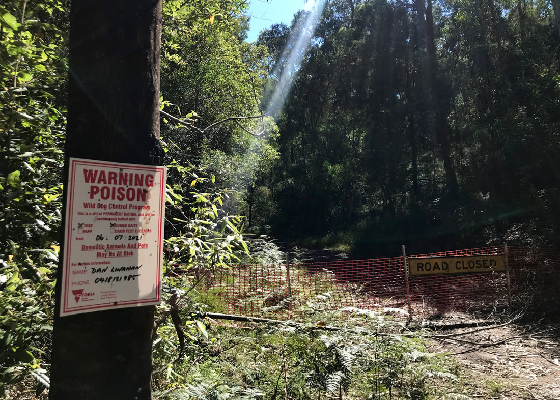
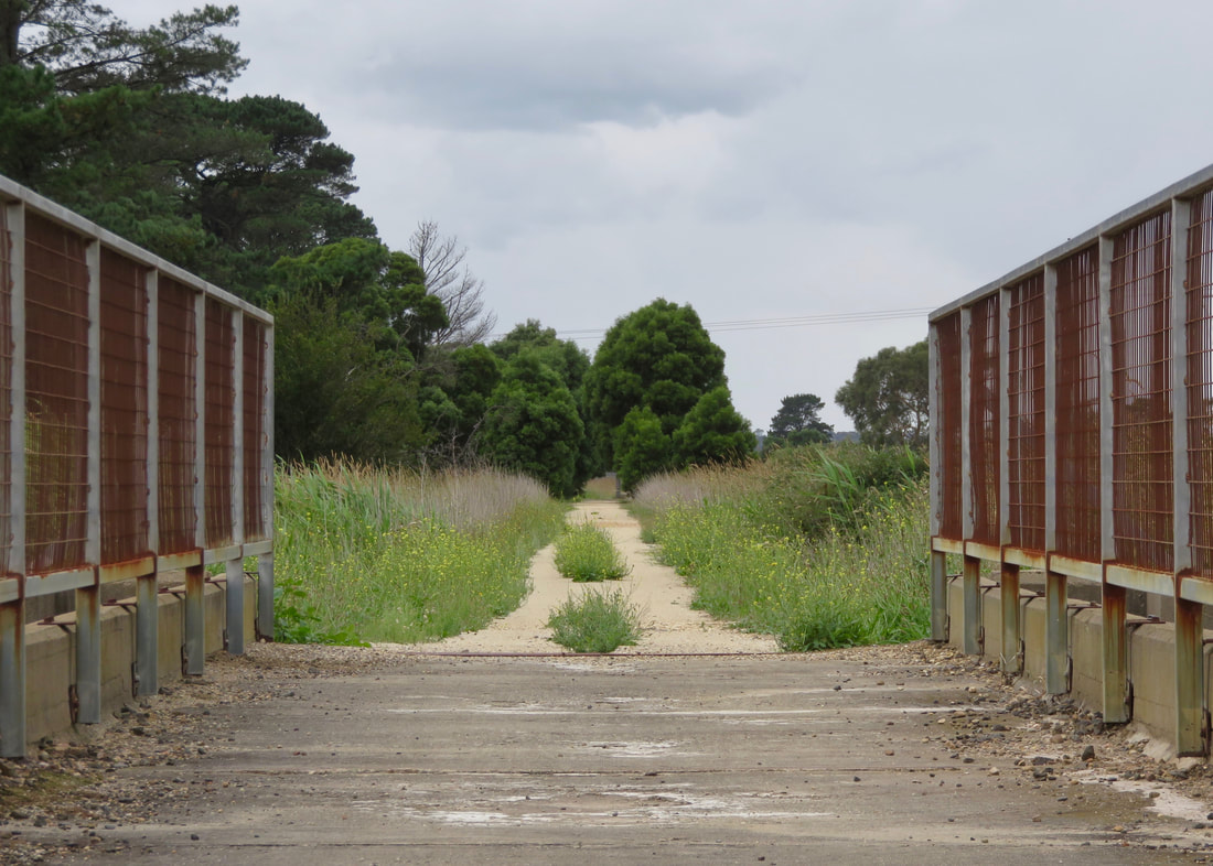
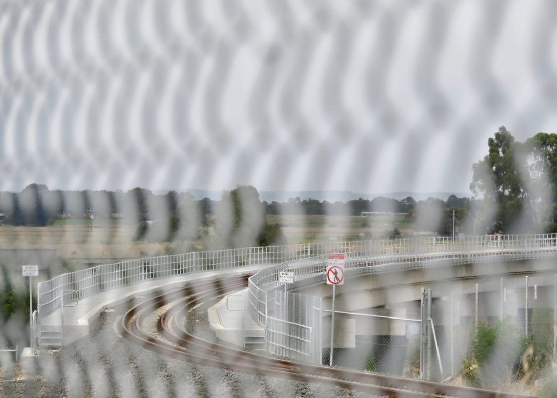
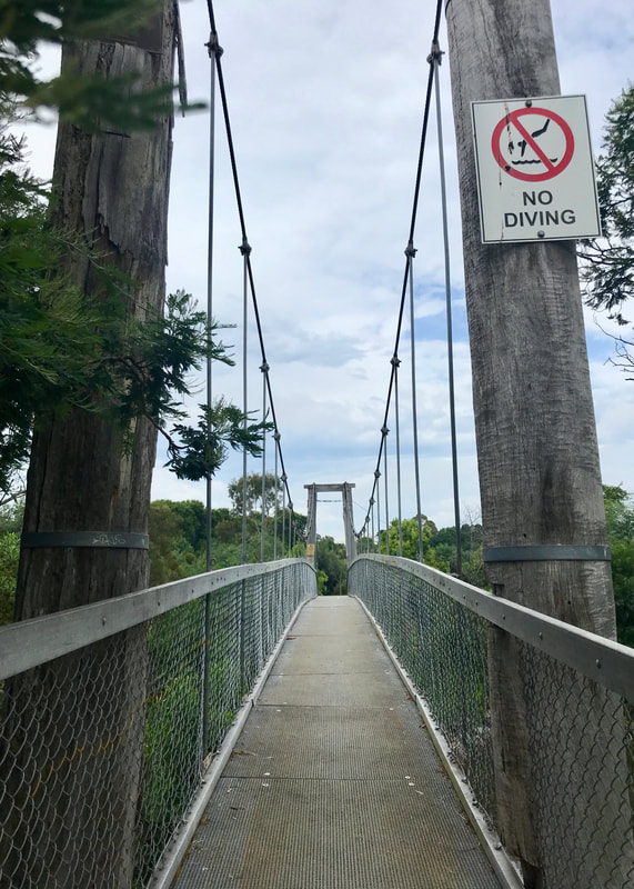
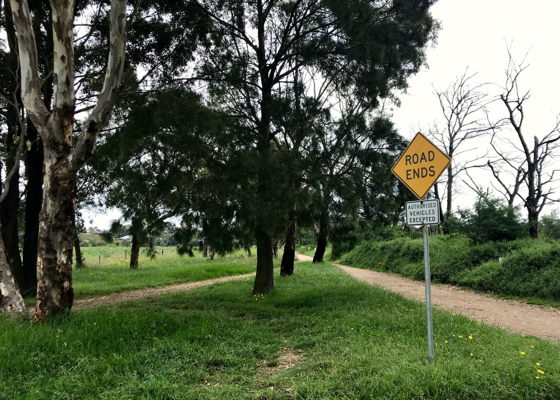
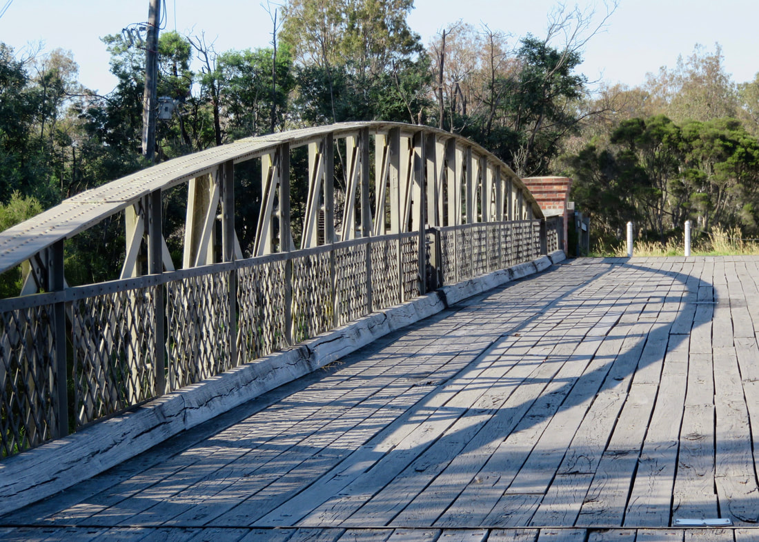
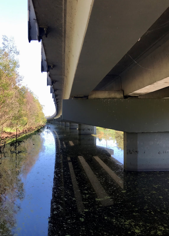
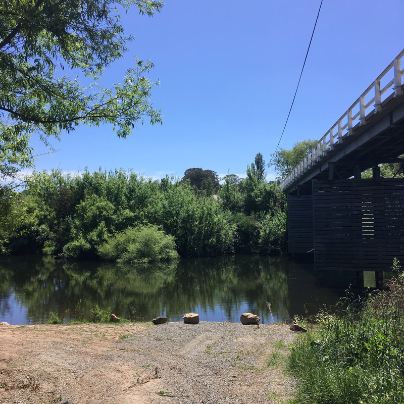
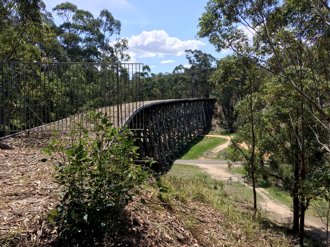
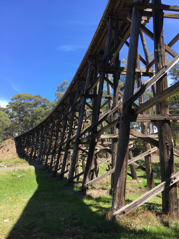
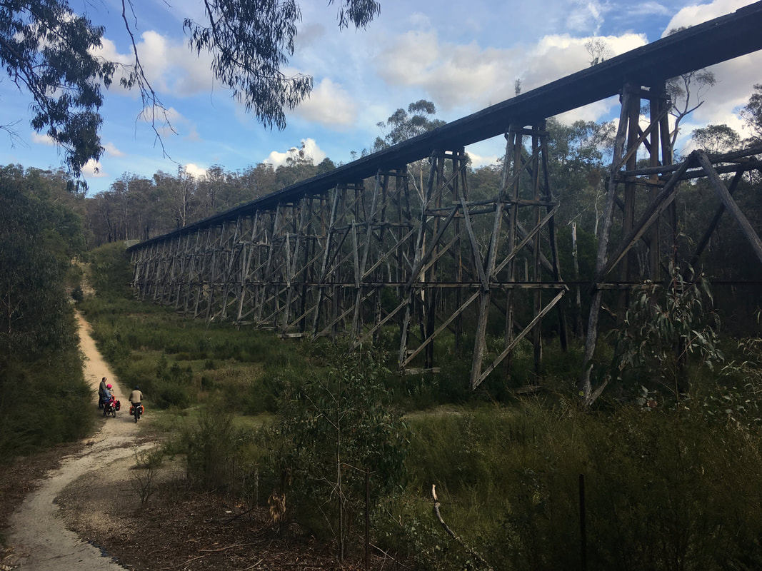
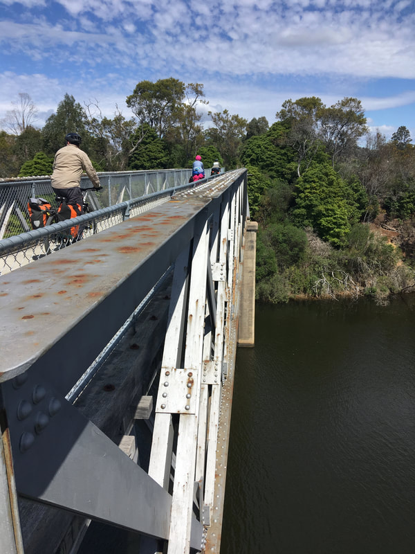
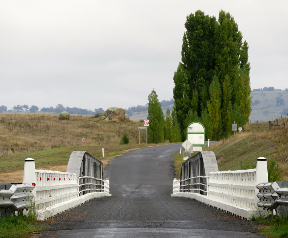
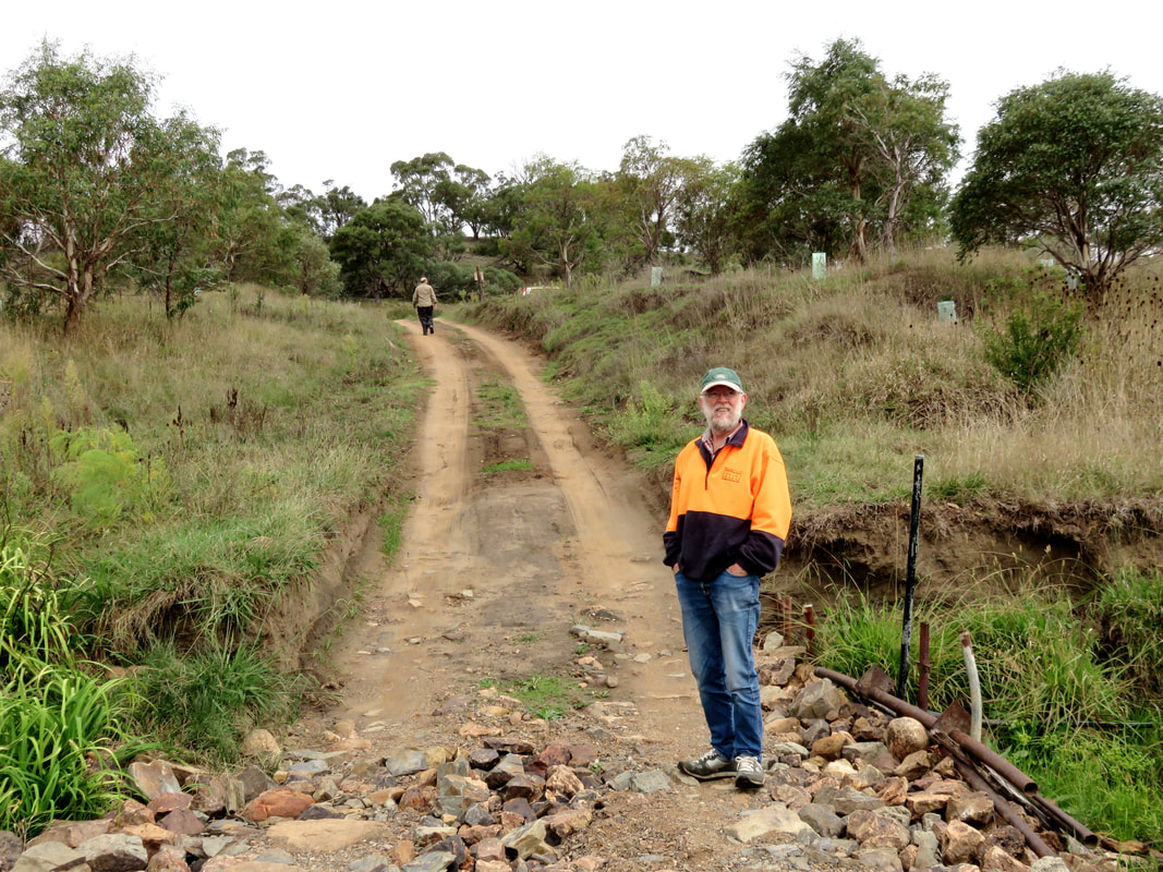
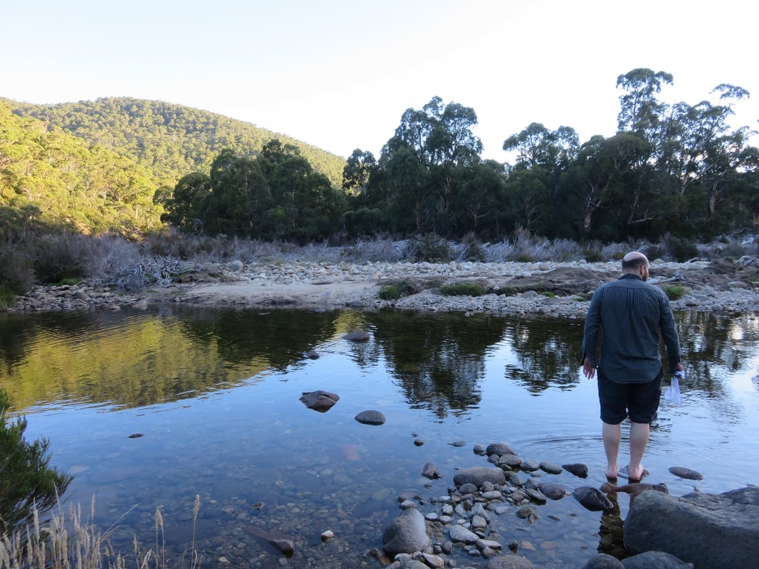
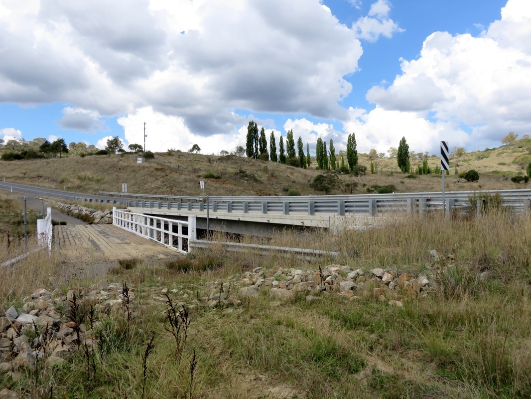
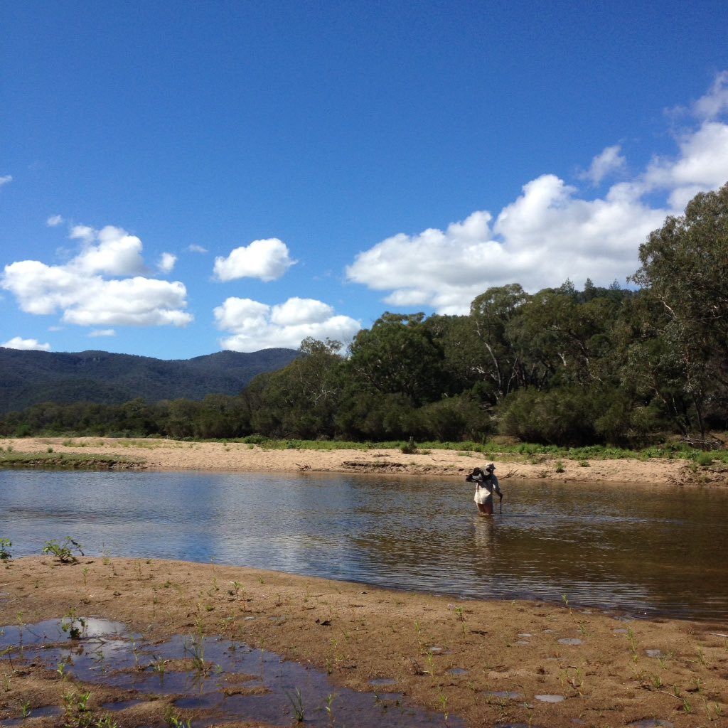
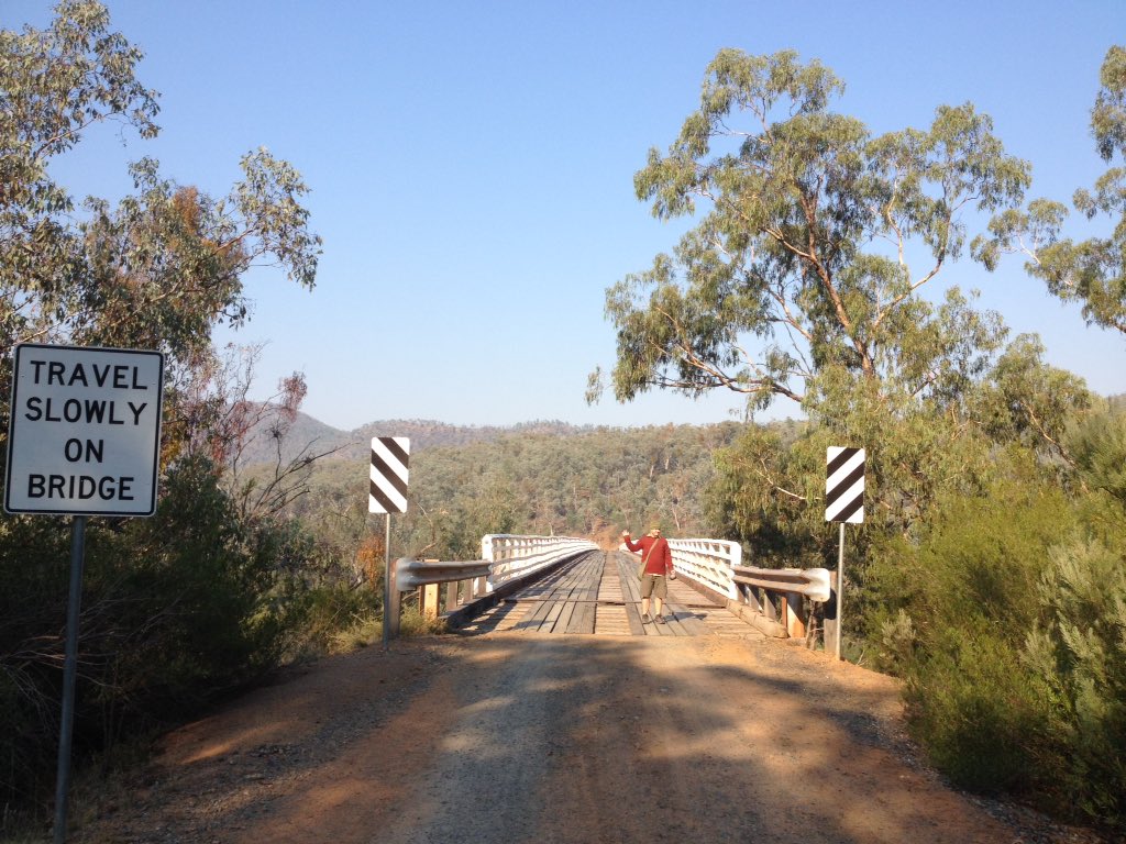
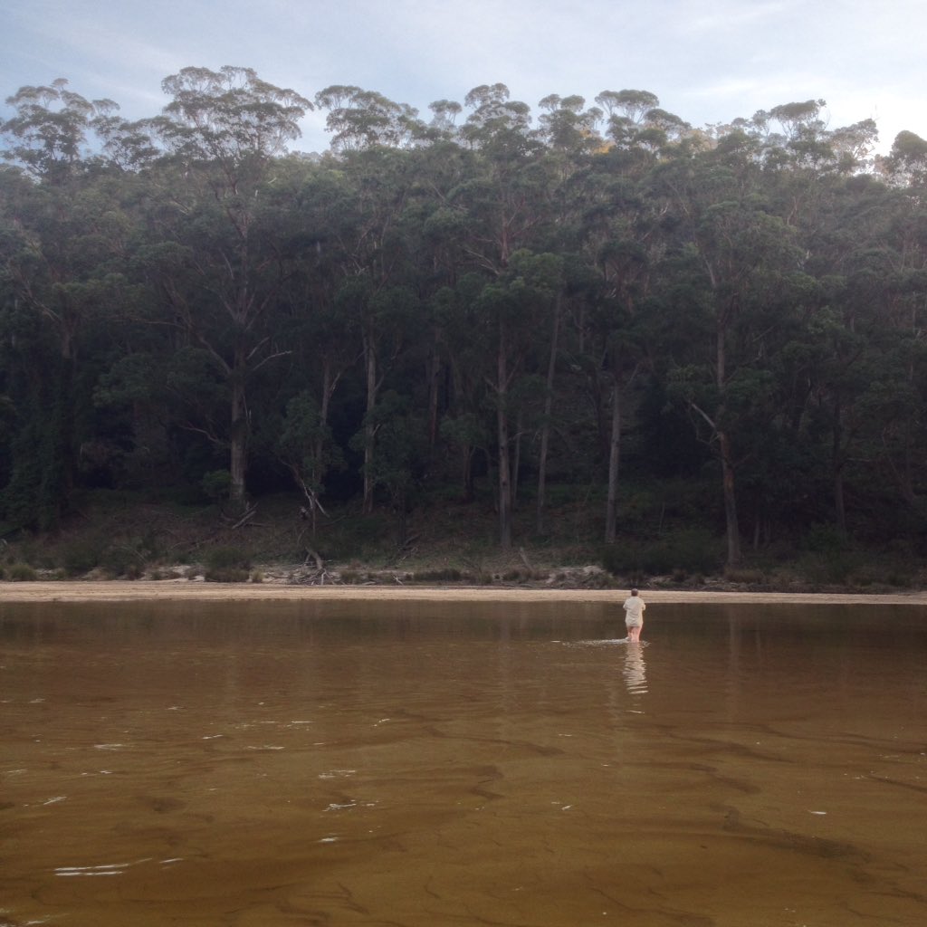
The rail trail doesn't get a nice big bridge like the road, so I guess when it floods we just have to swim!
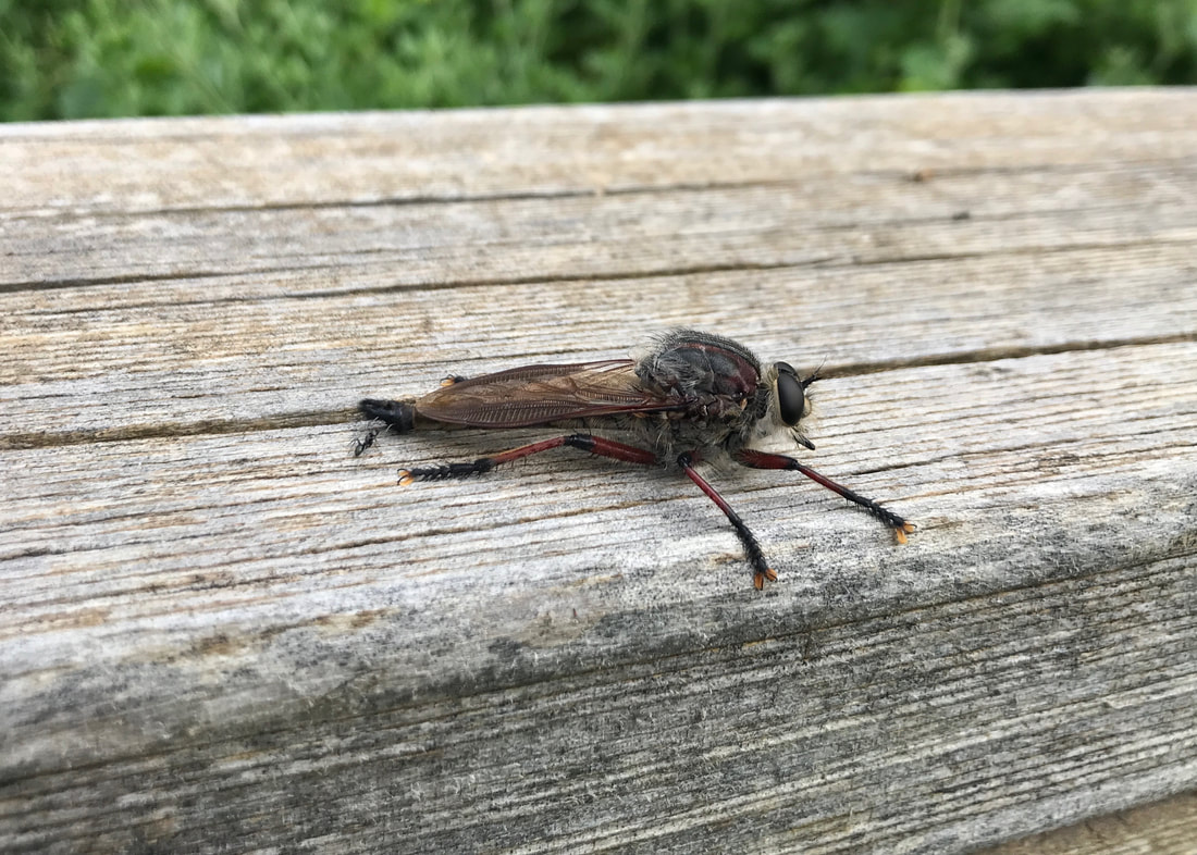
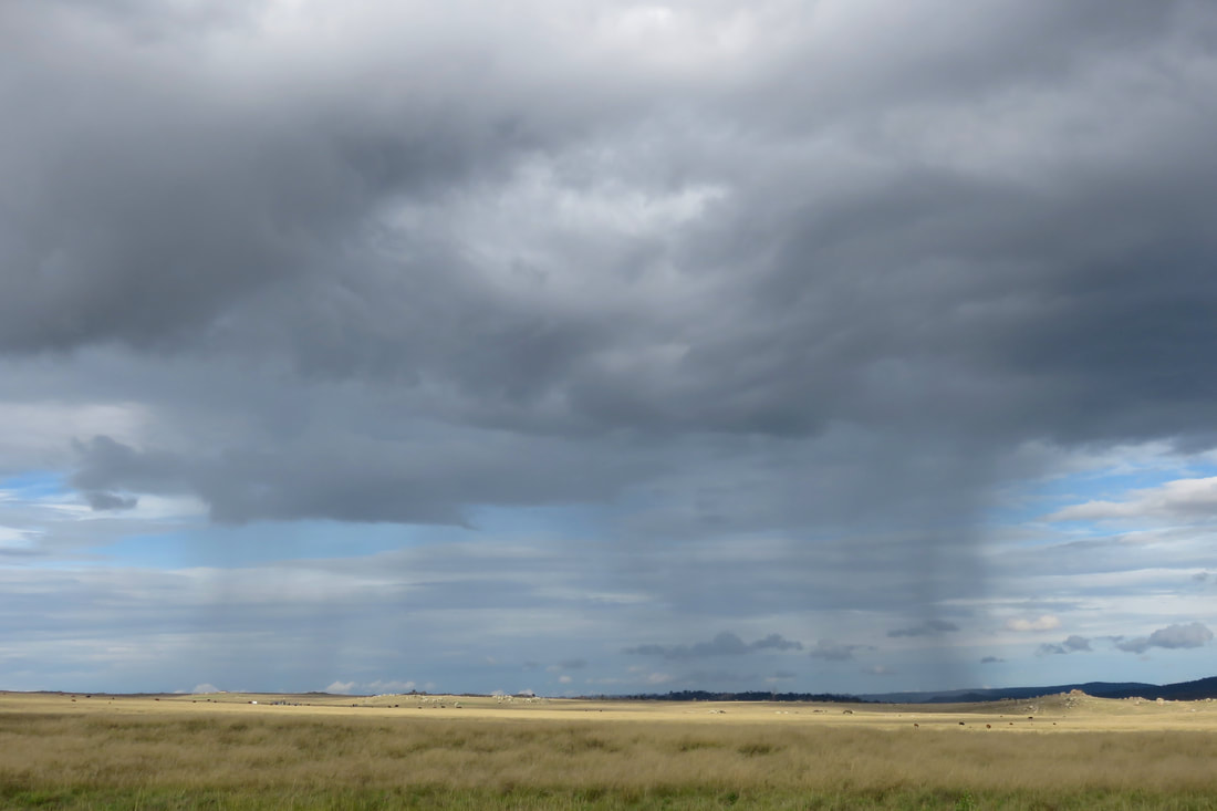
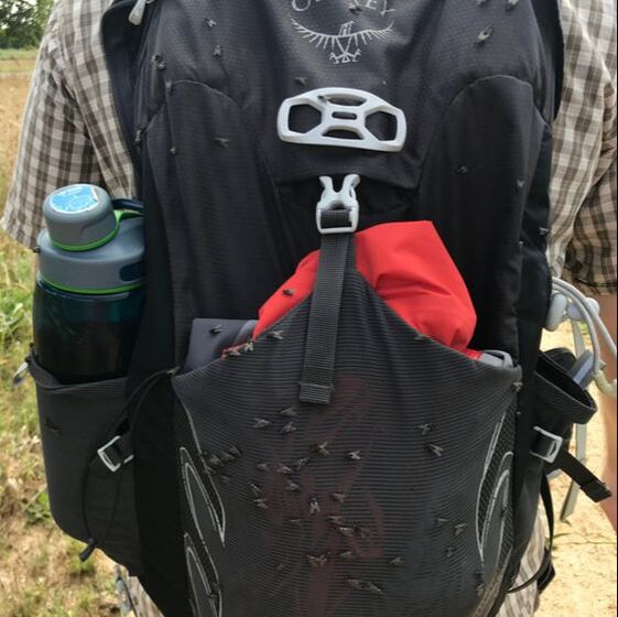 Flies. Yuck, yuck, yuck. | 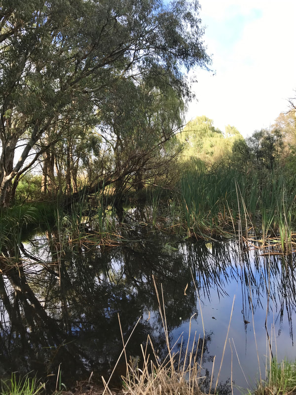 It's been a pretty wet summer. |
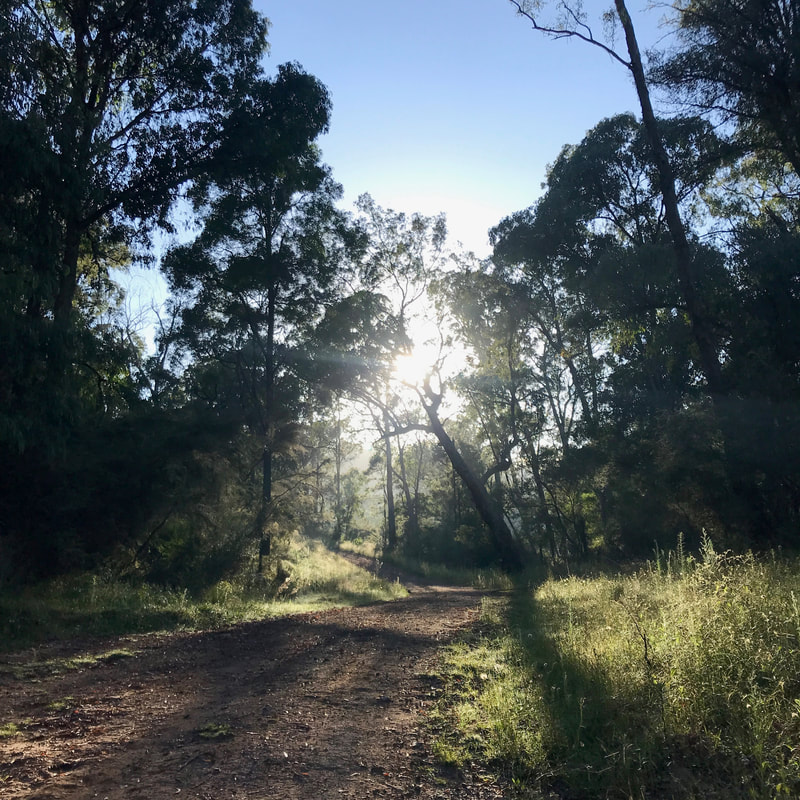
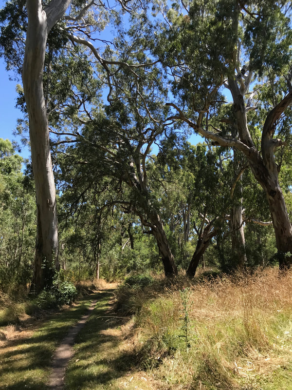
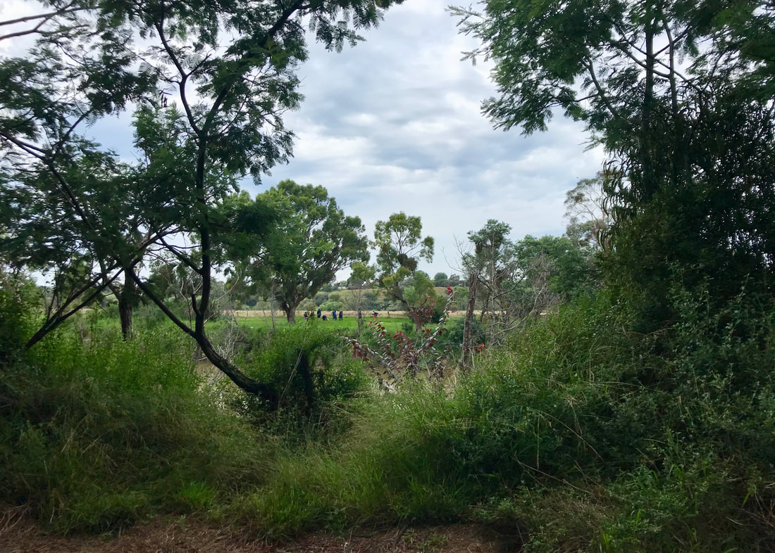
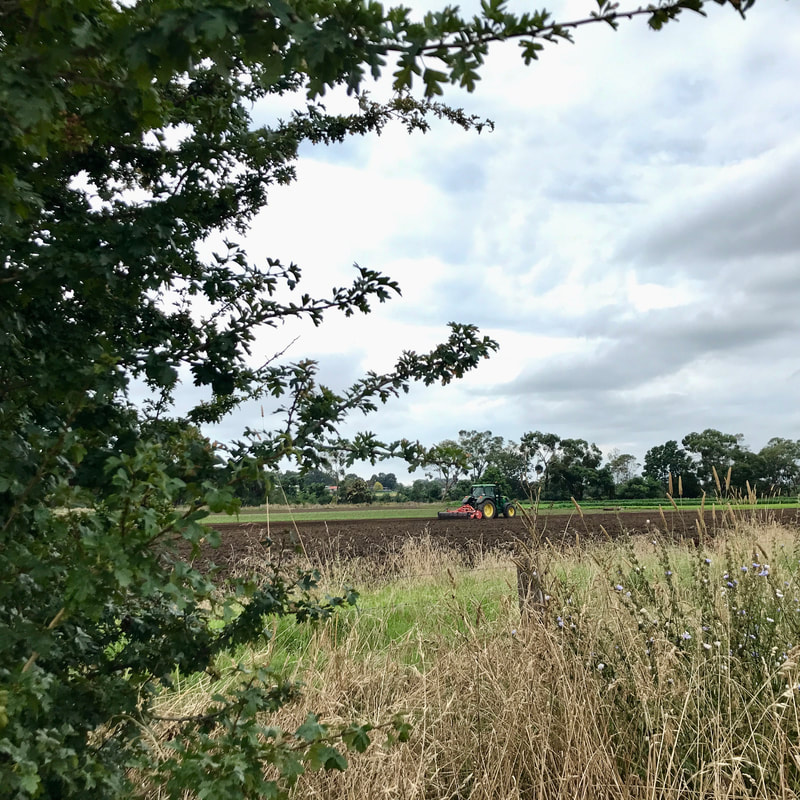
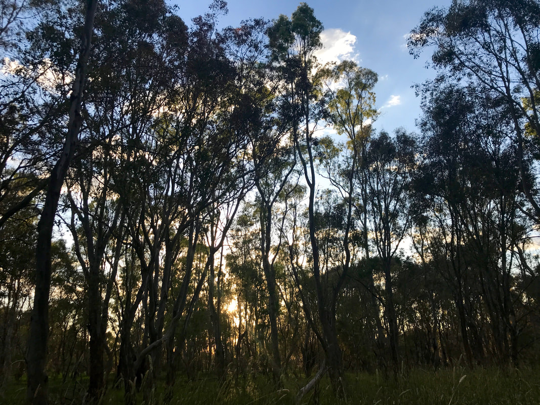
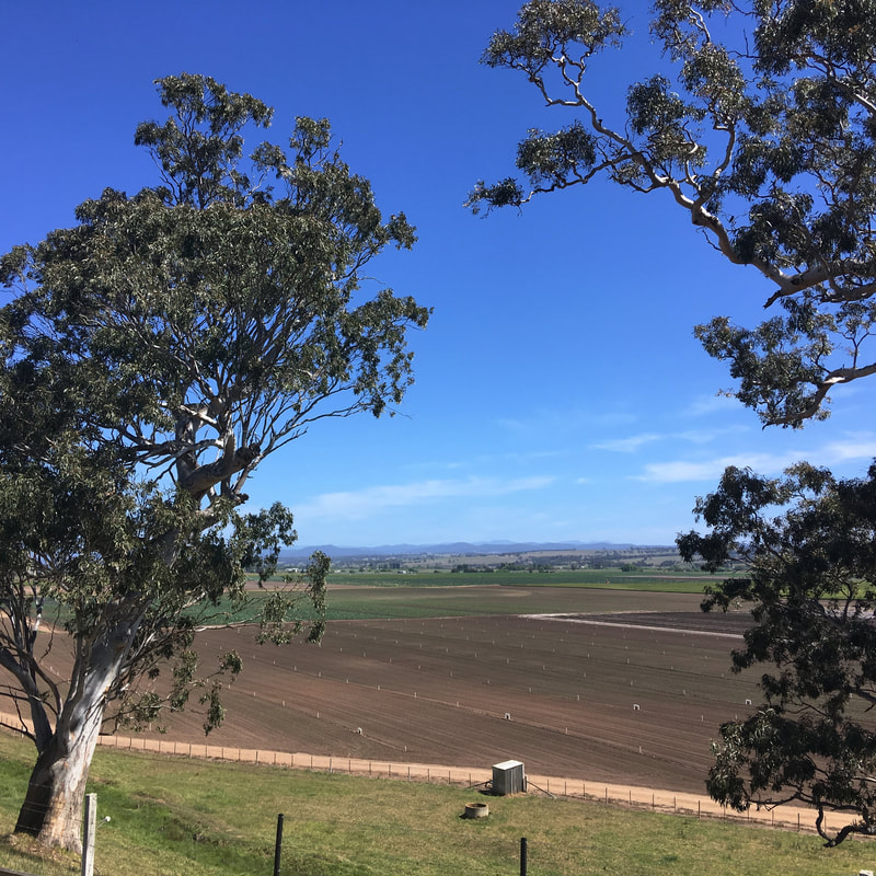
The fog was intense in the morning, with many spiderwebs glittering with dew. It rose into fluffy clouds or got burnt off by the sun soon after we started, but it was lovely to have the early light illuminating everything and to watch the clouds lifting off the paddocks, trees and distant hills. On the way back, we got blasted by the sun, so we were happy that a few of those little clouds remained to give occasional relief.
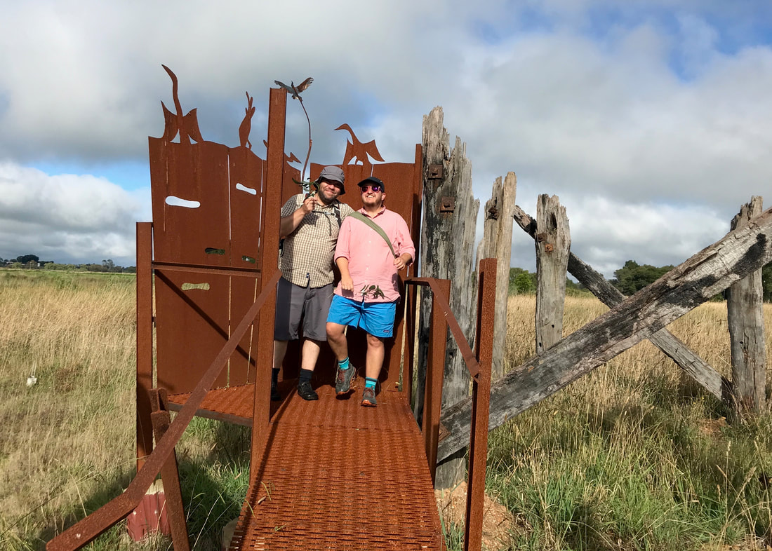
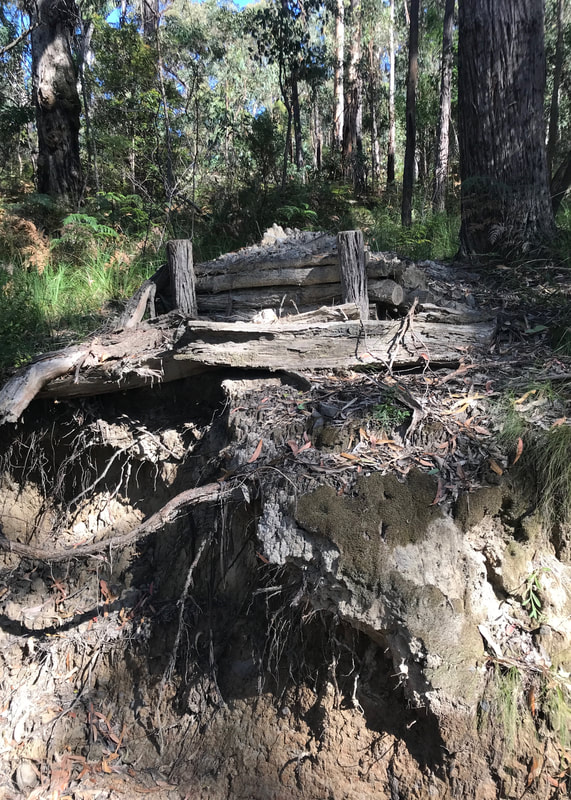
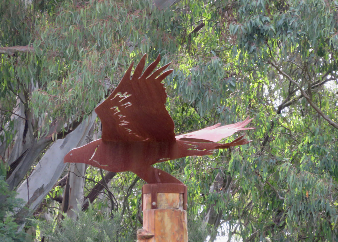
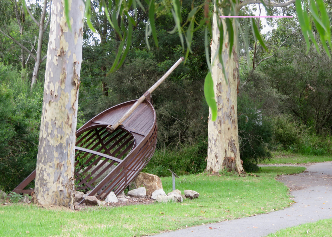
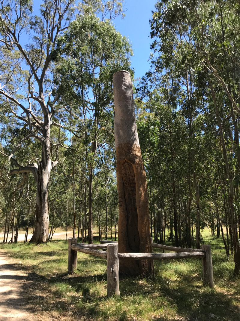
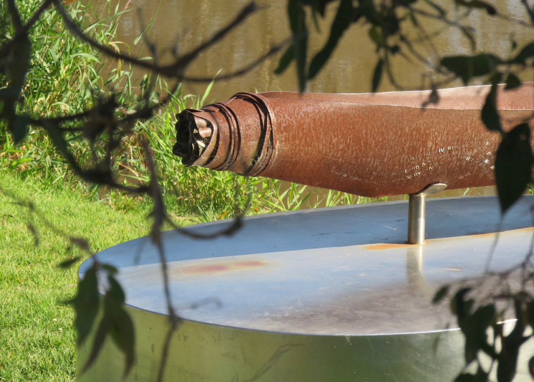
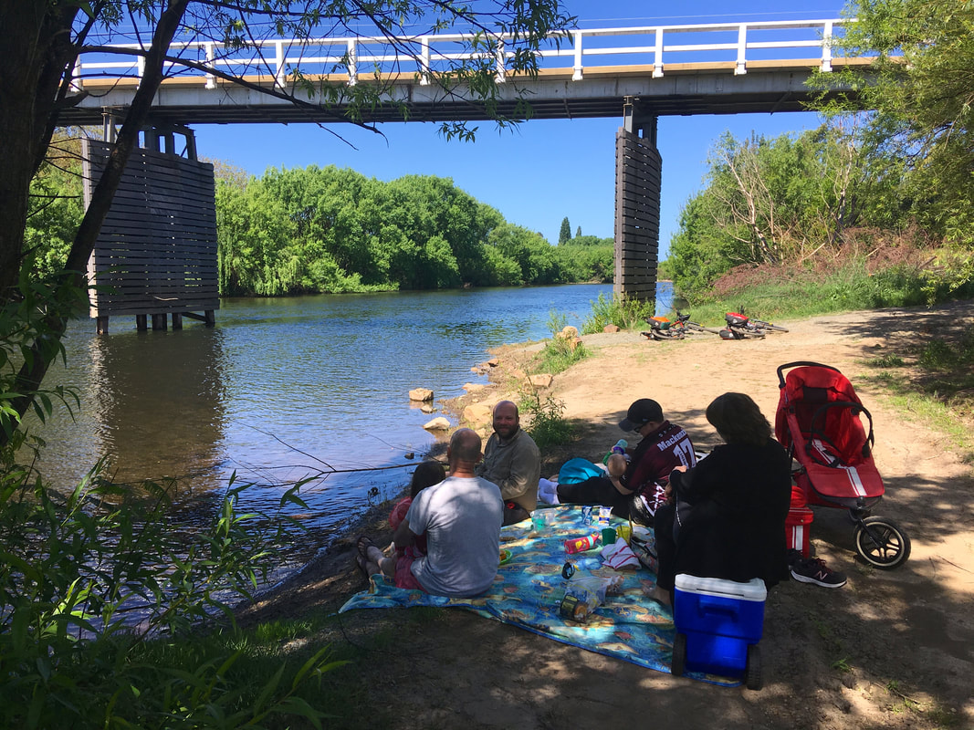
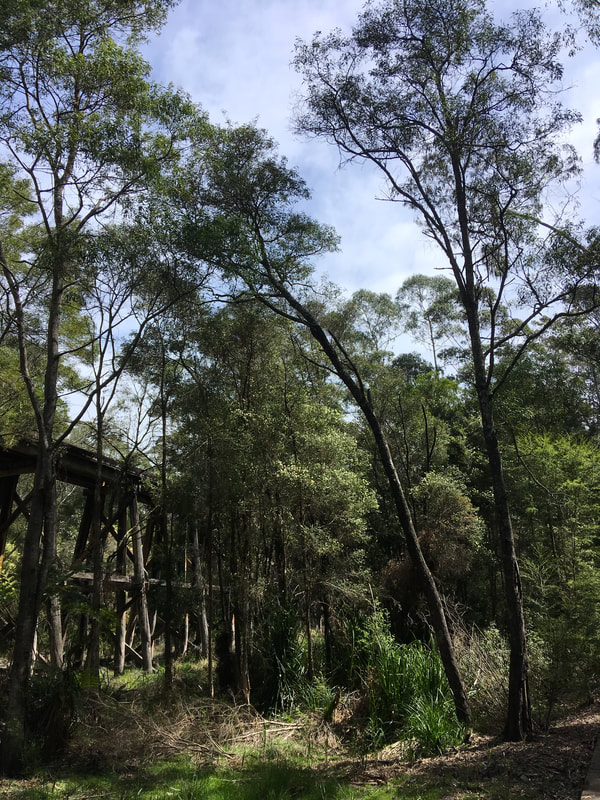
Dan and me at a cute little bird hide sculpture amongst the remains of an old timber bridge. (Pic by my mum!)
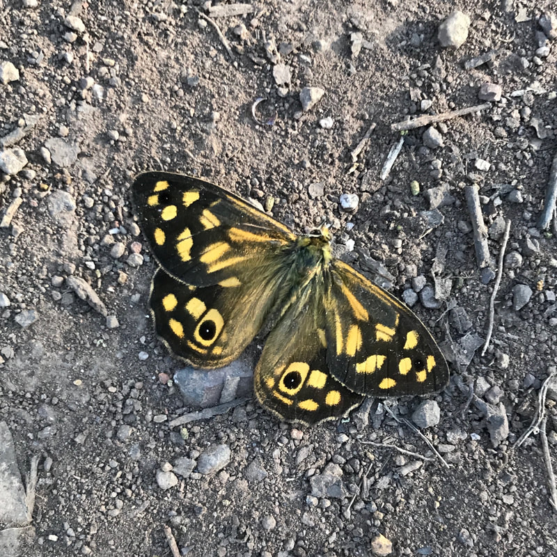
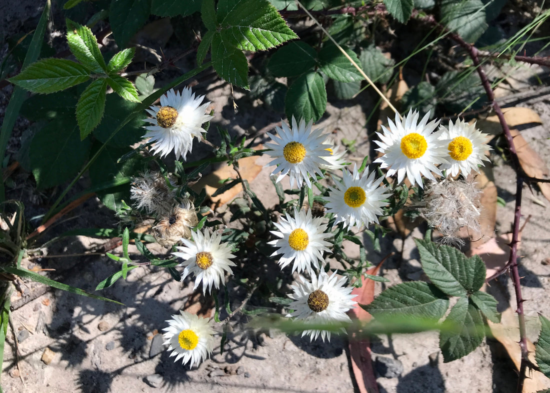
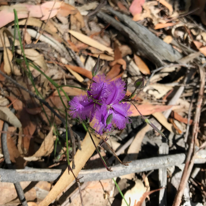
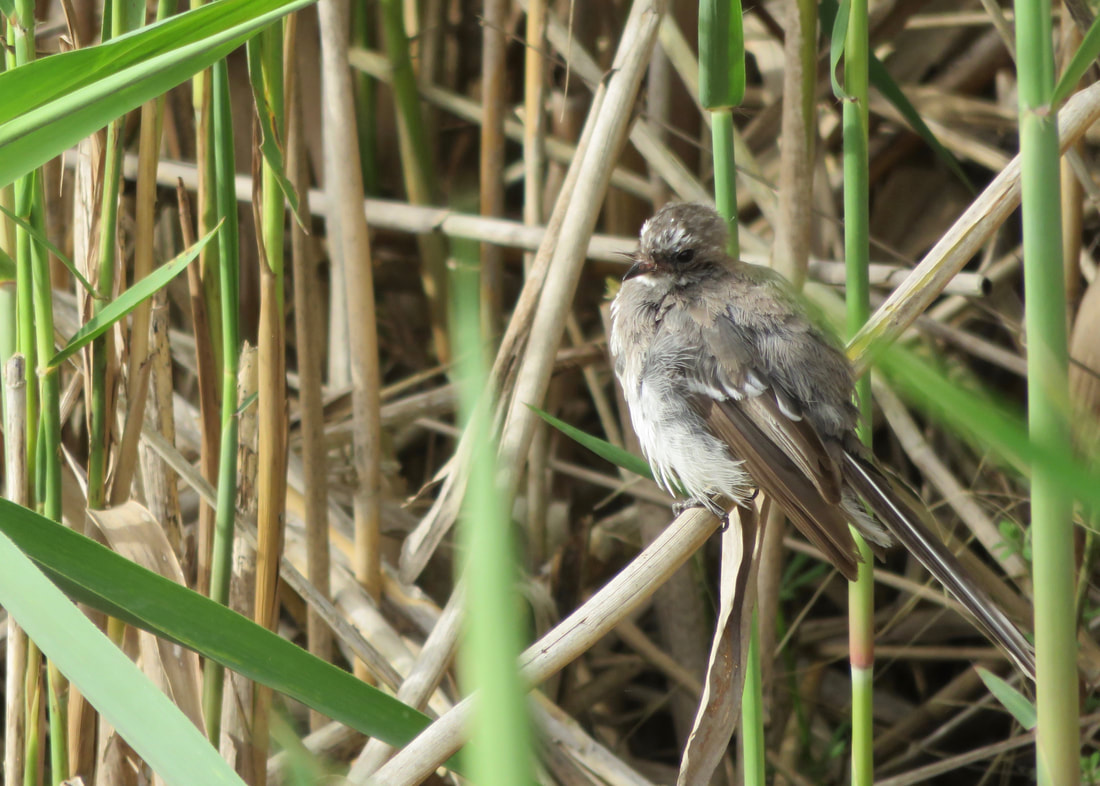
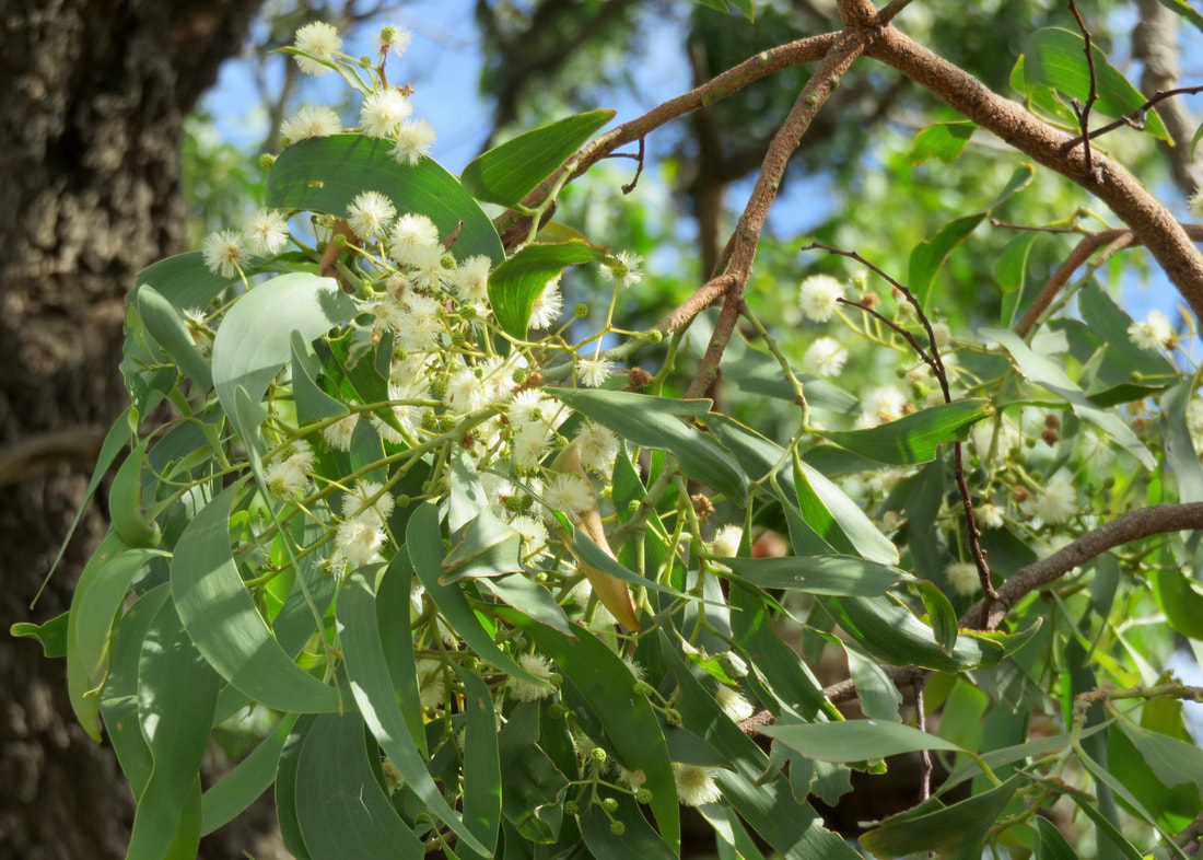
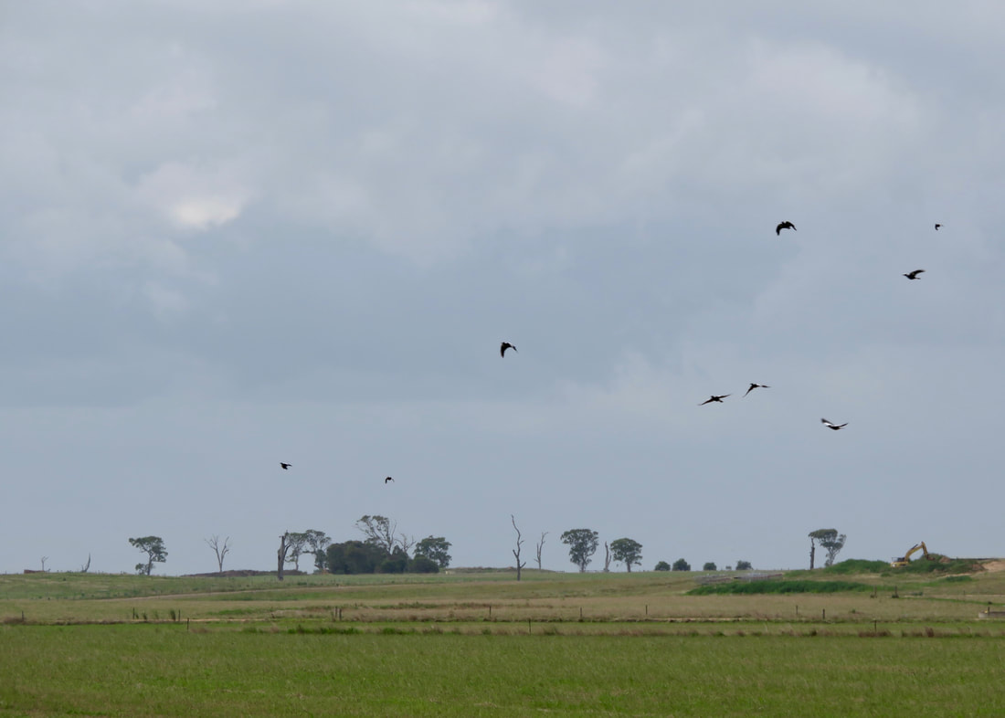
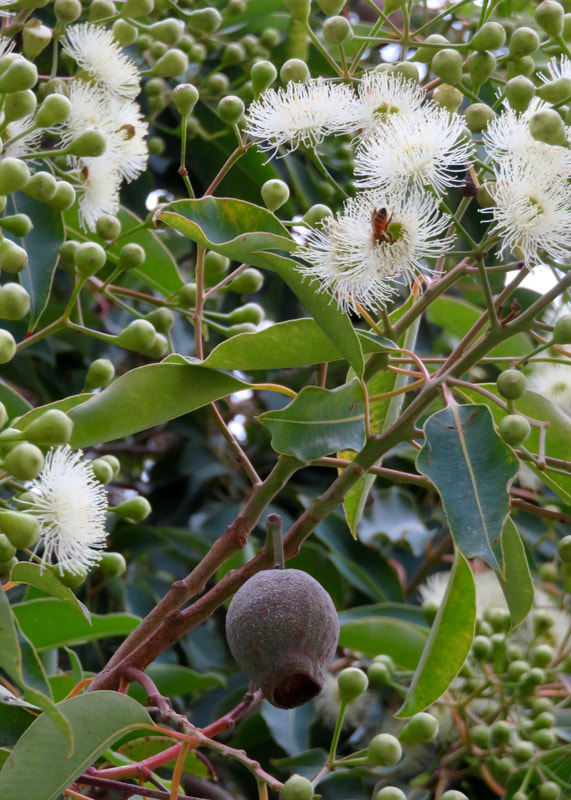
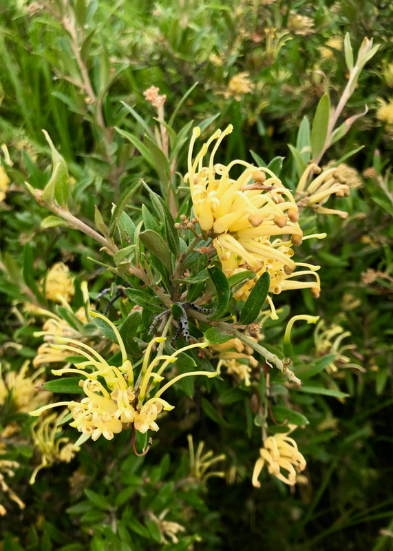
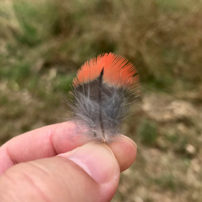
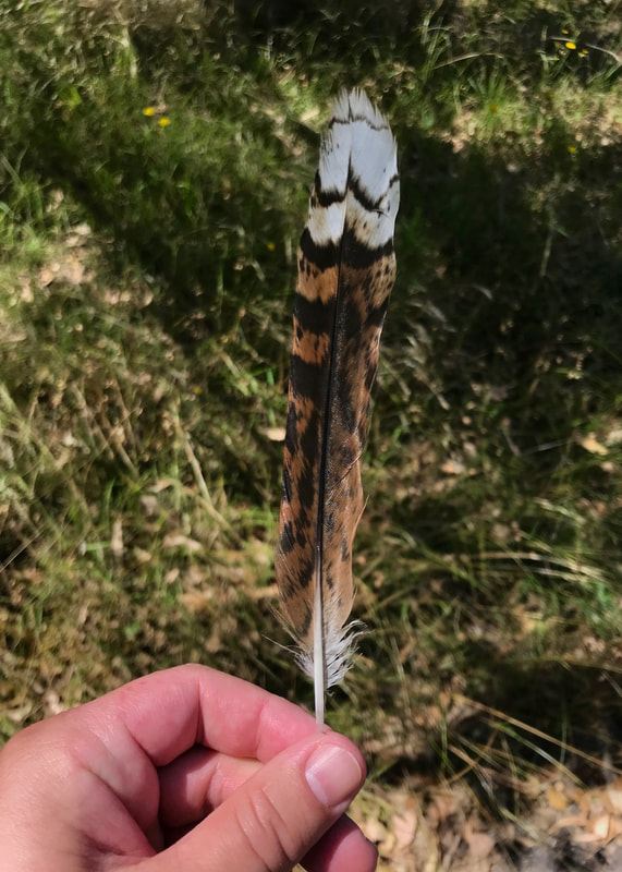
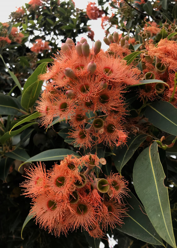
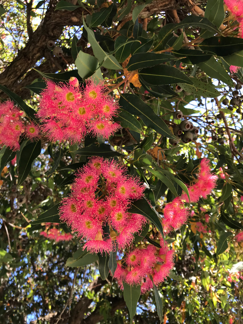
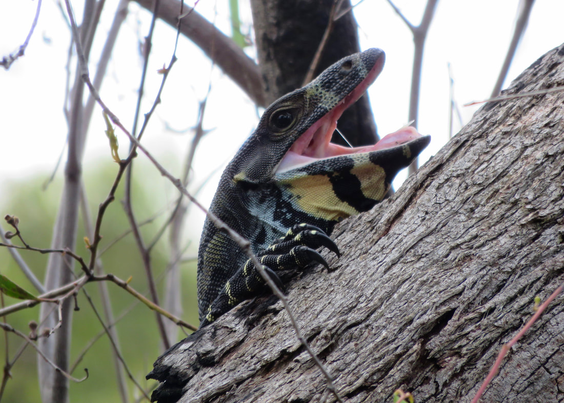
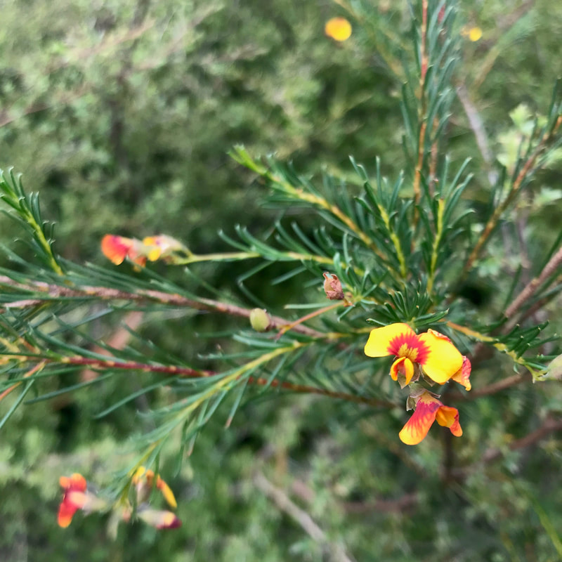
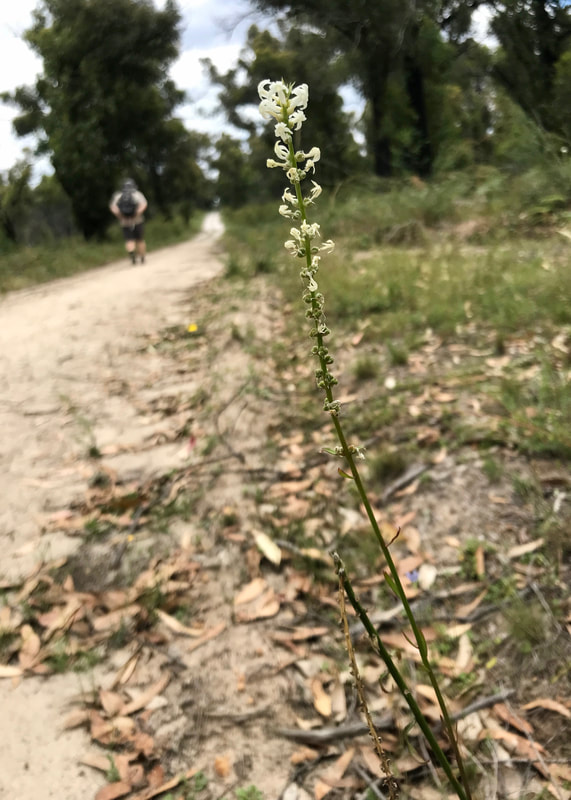
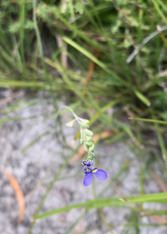
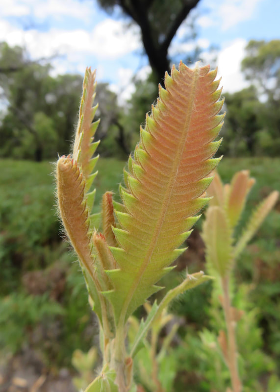
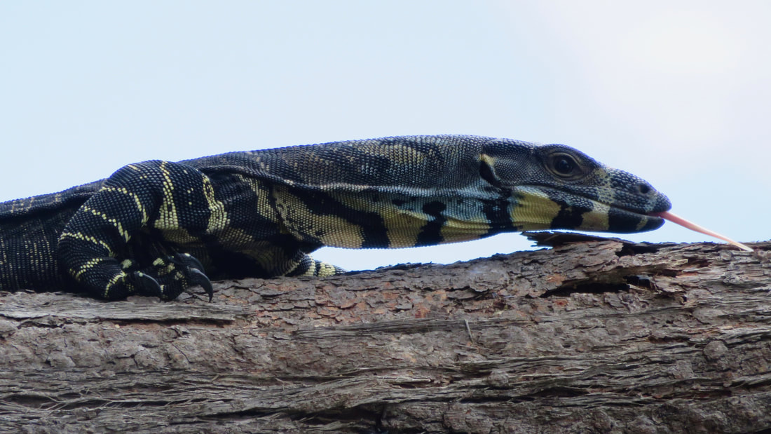
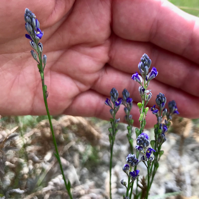
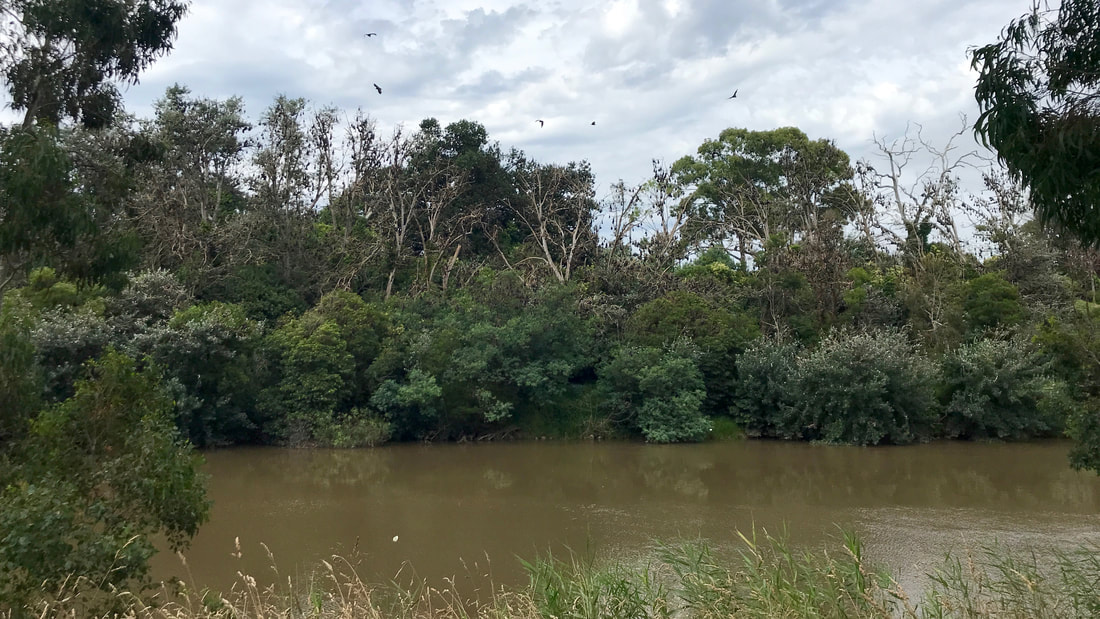
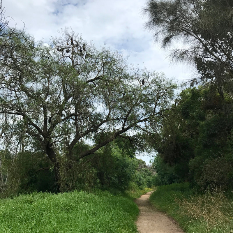
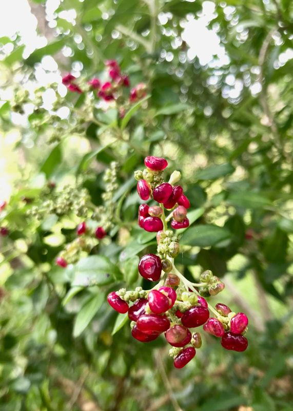
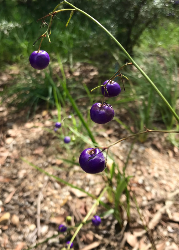
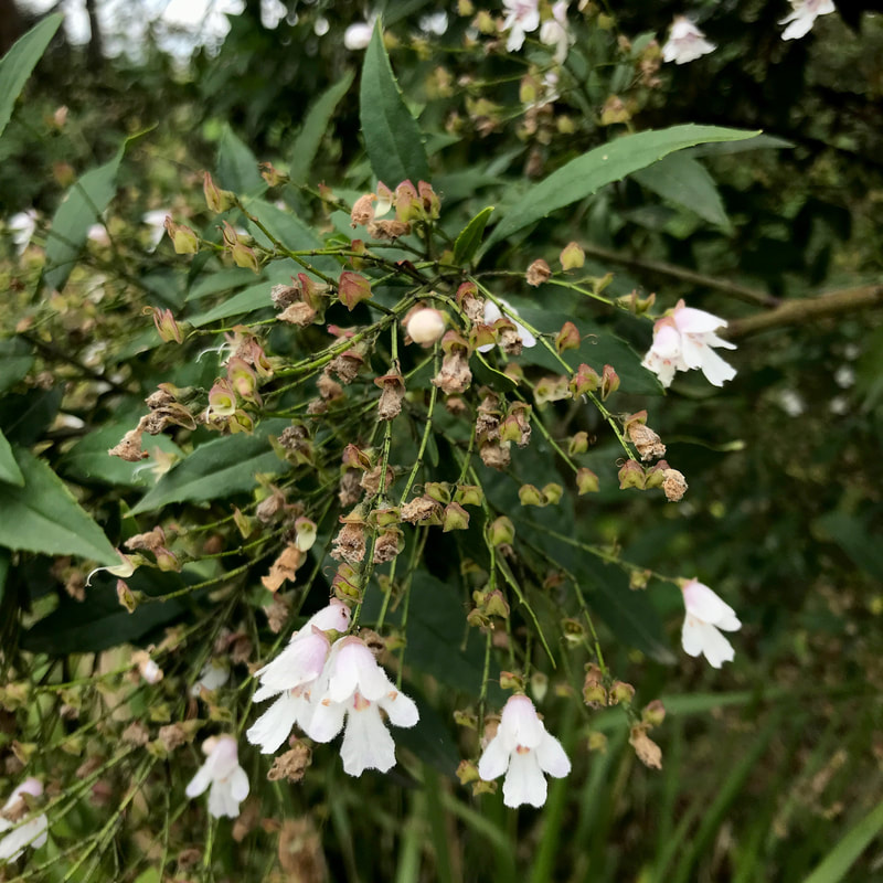
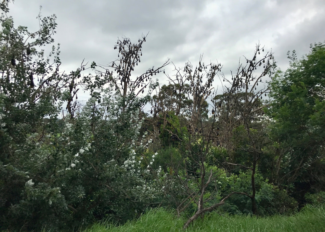
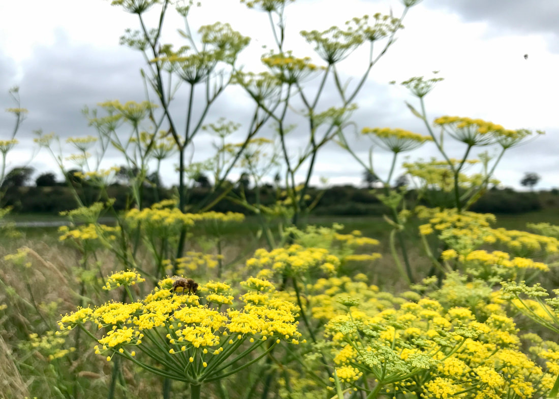
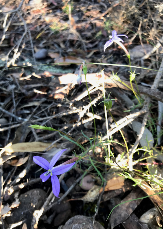
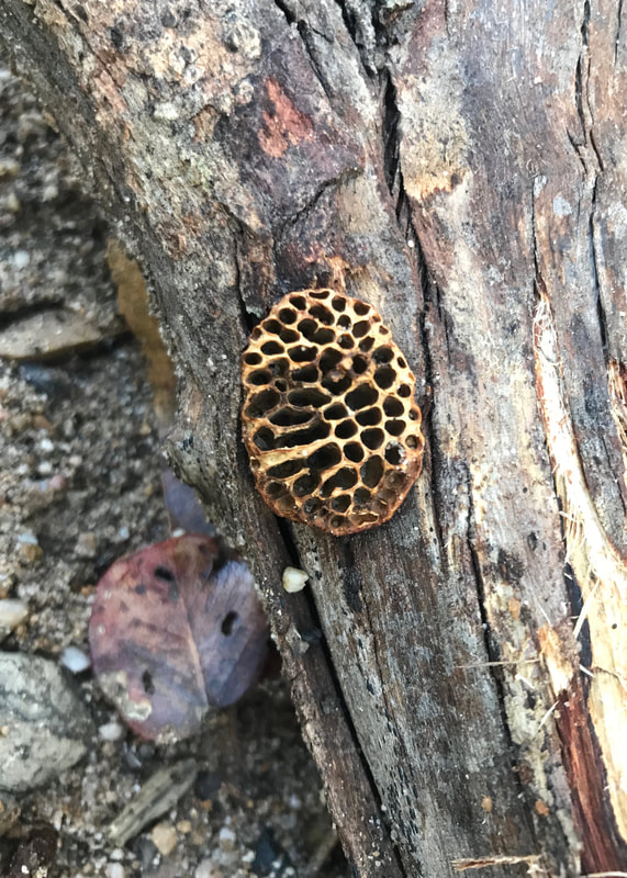
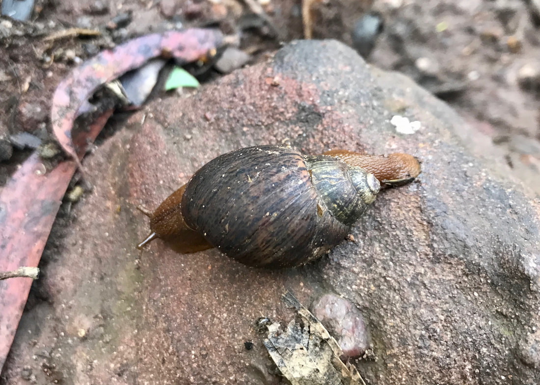
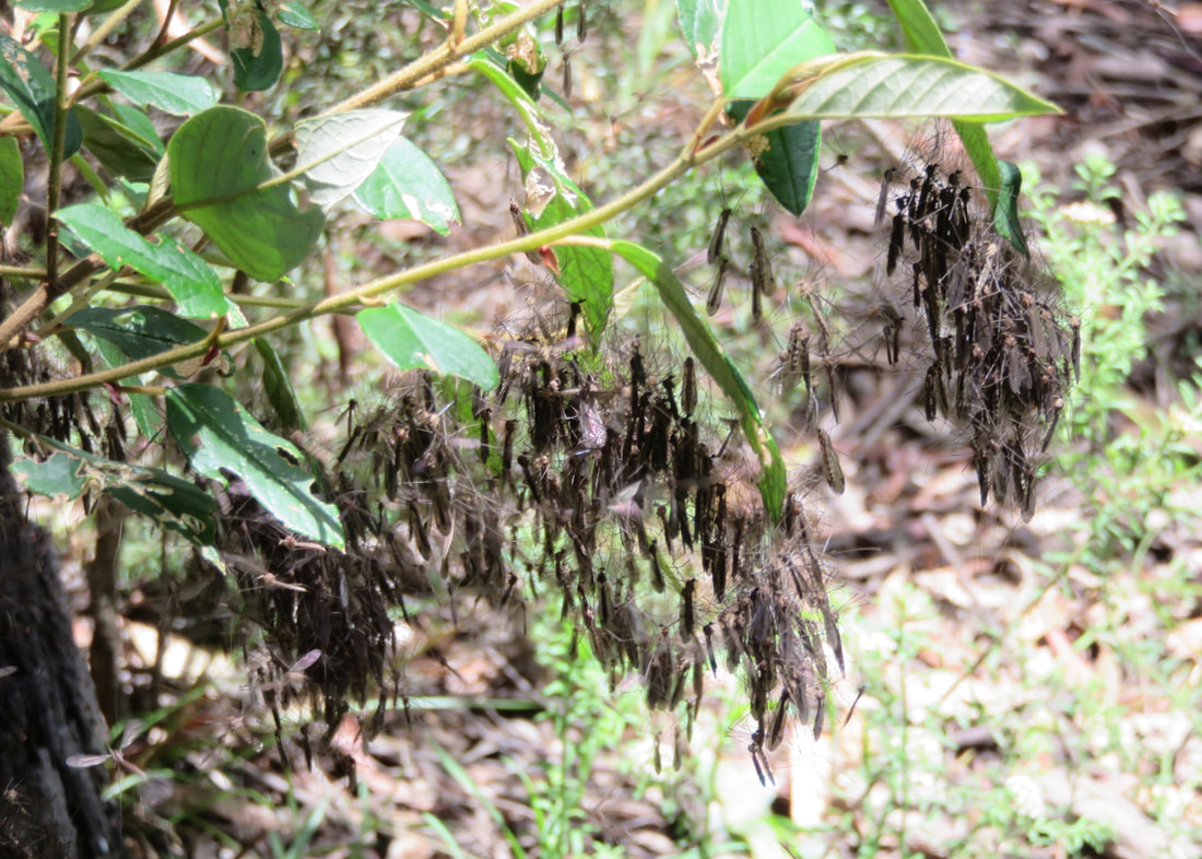
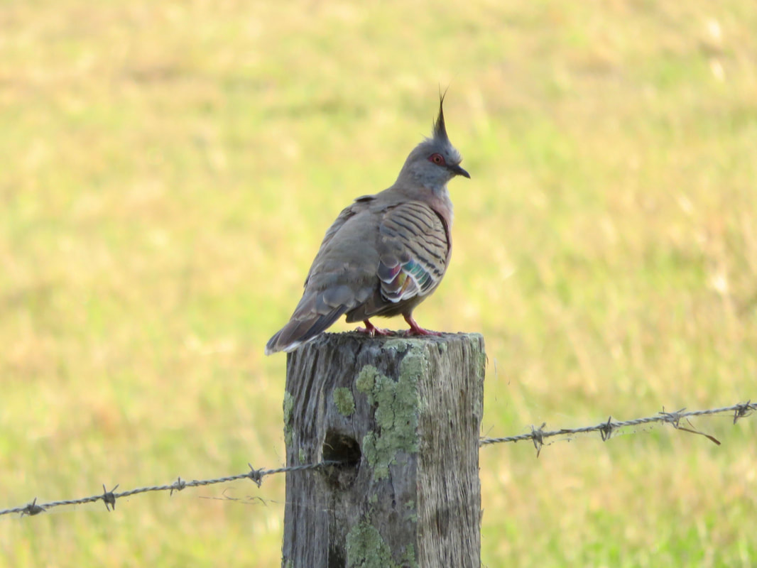
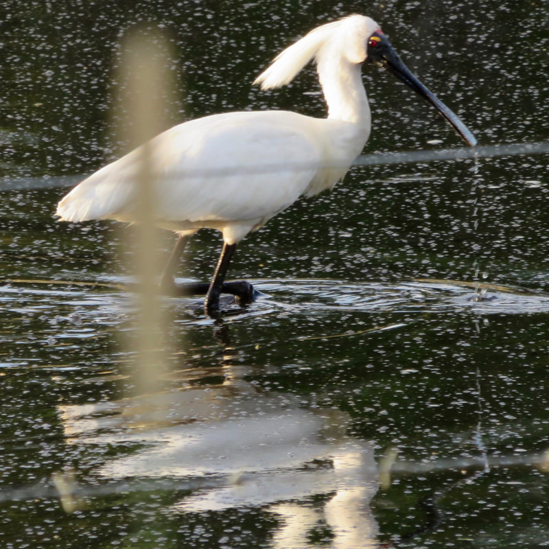
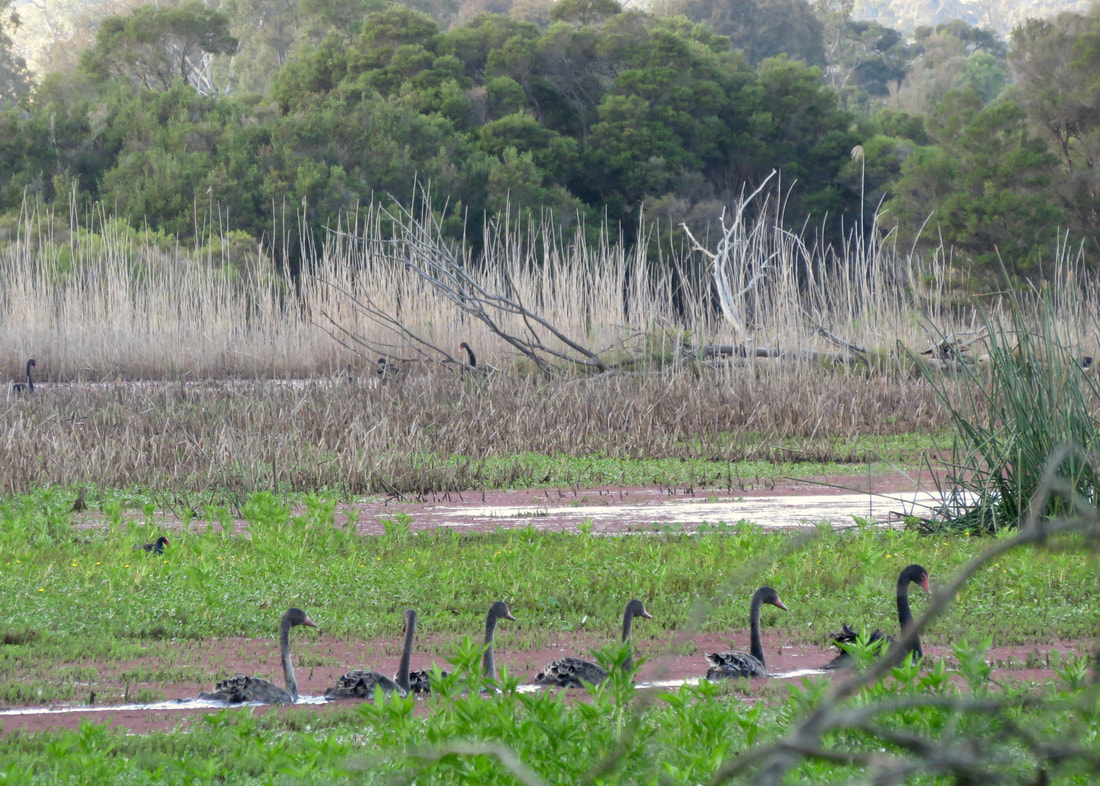
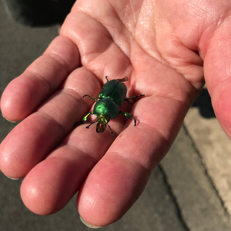
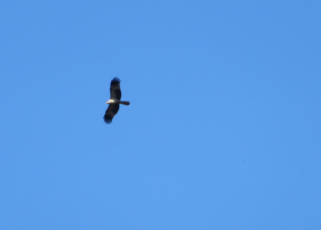
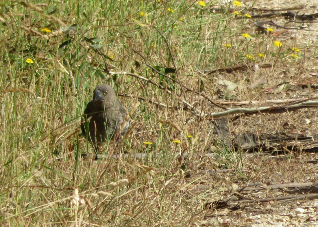
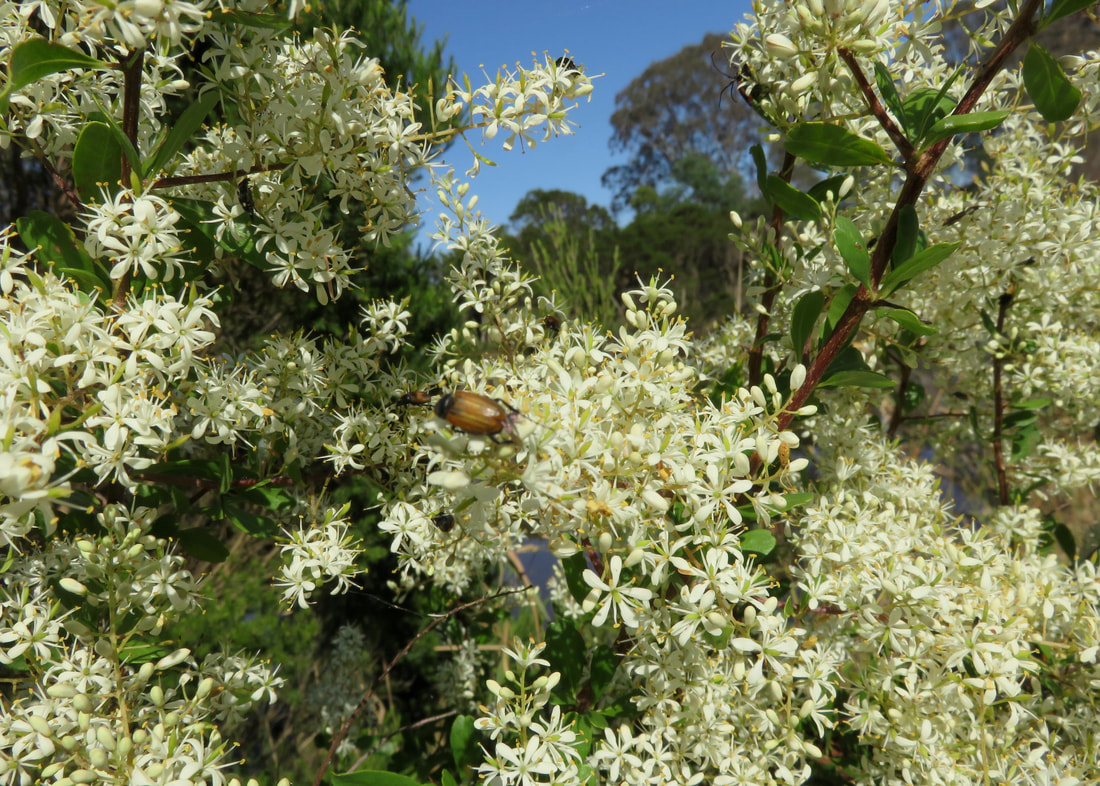
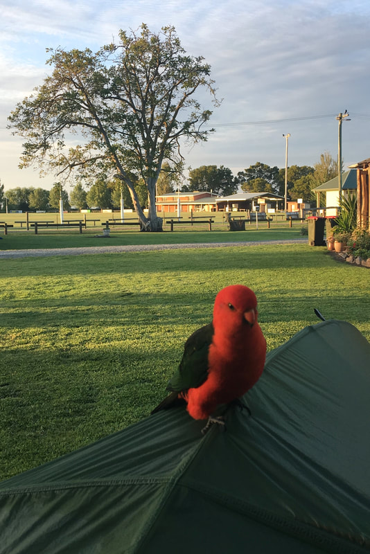
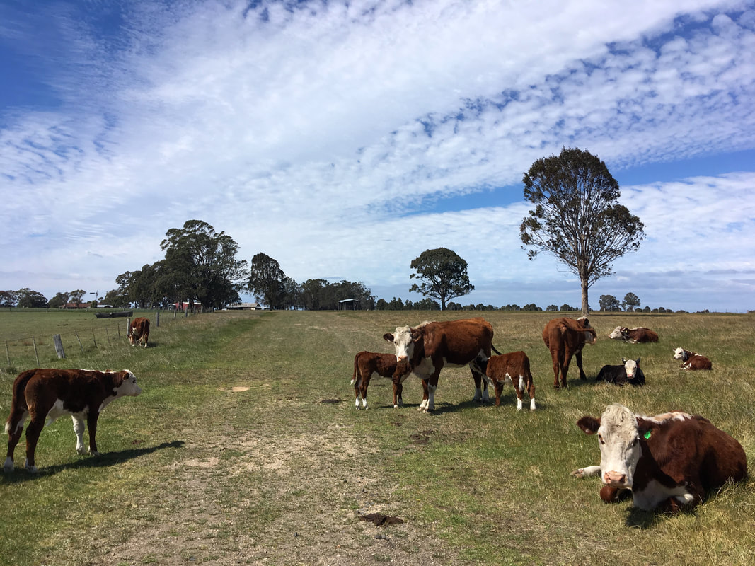
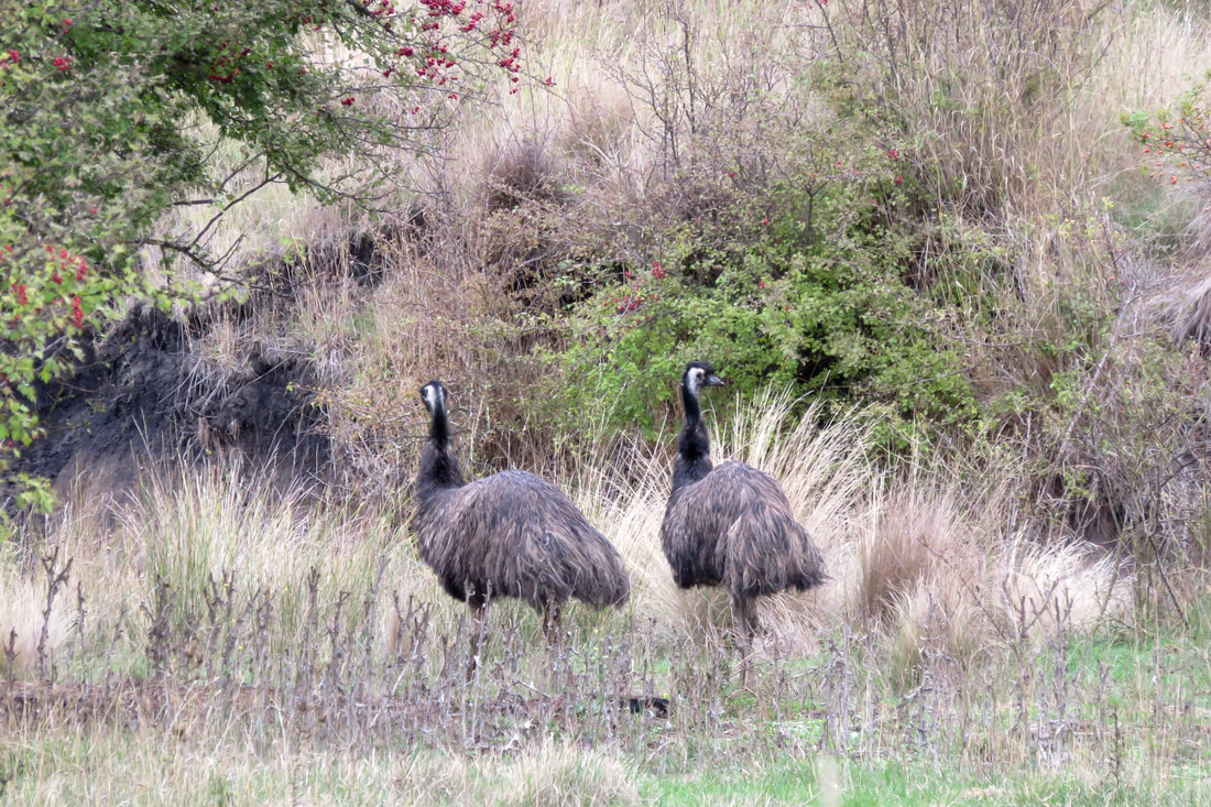
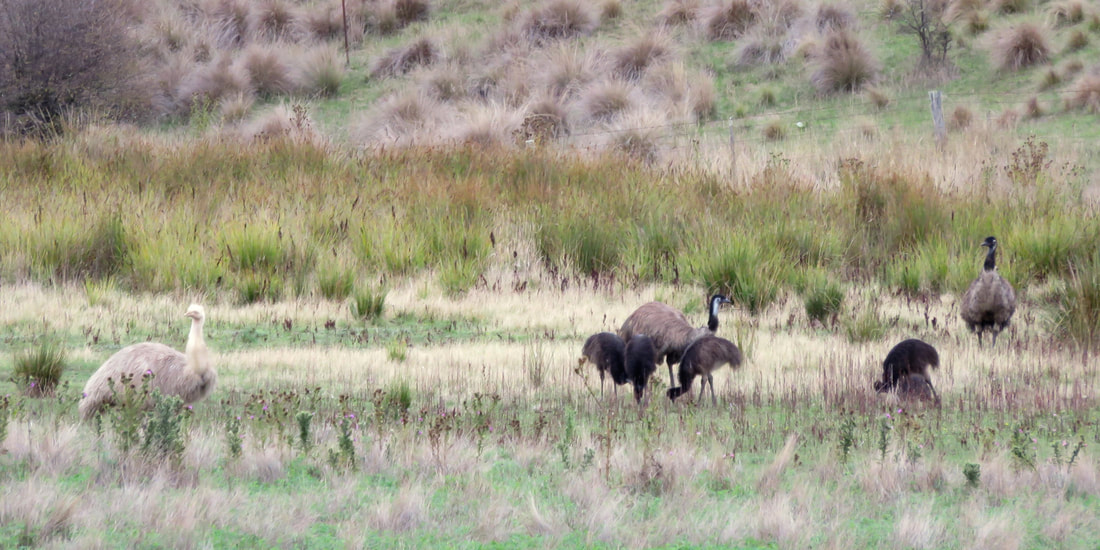
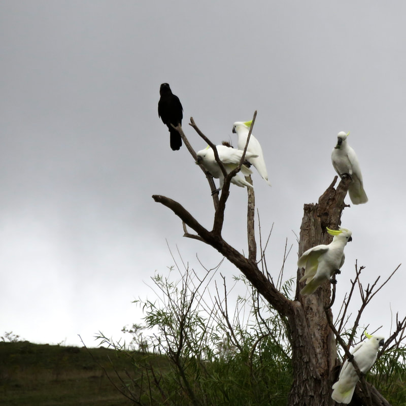
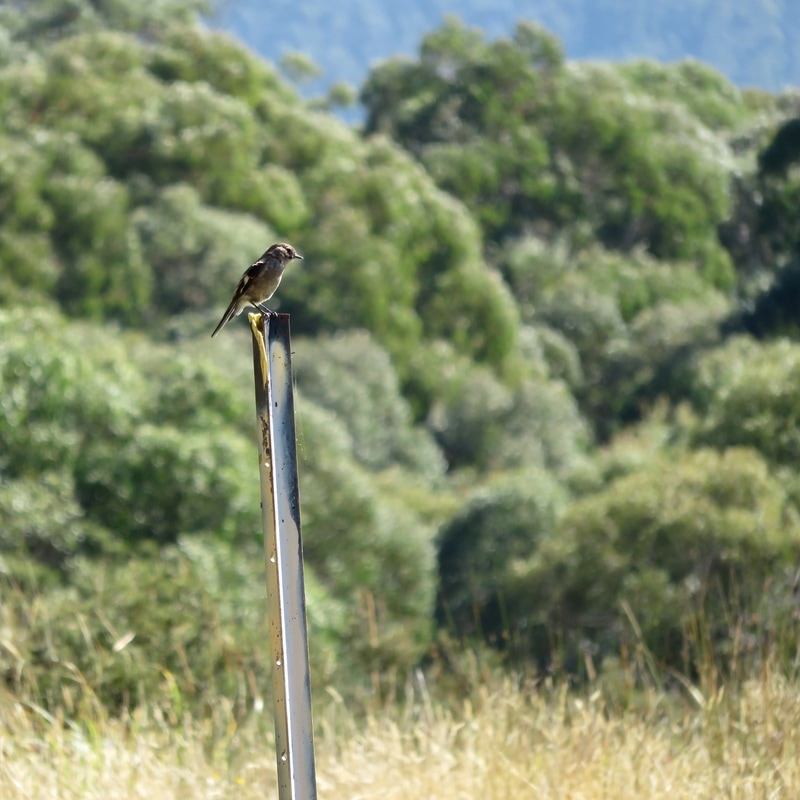
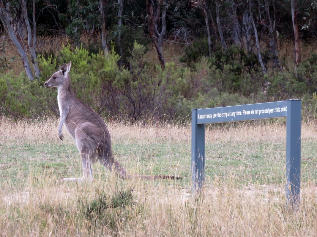
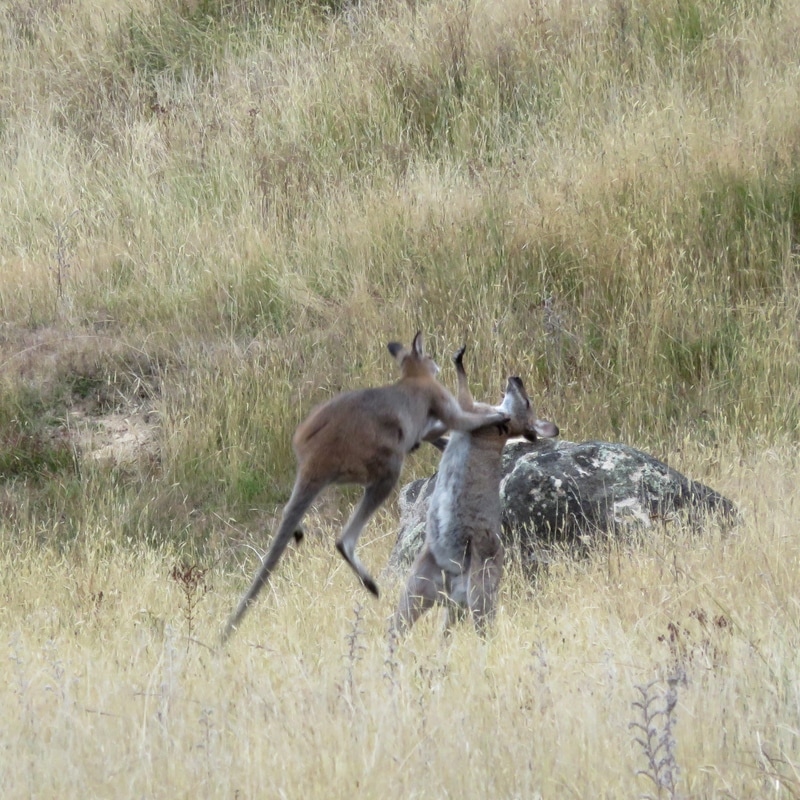
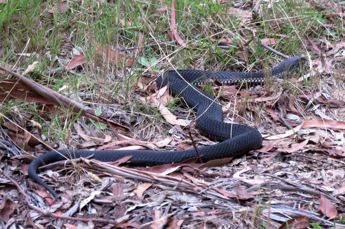
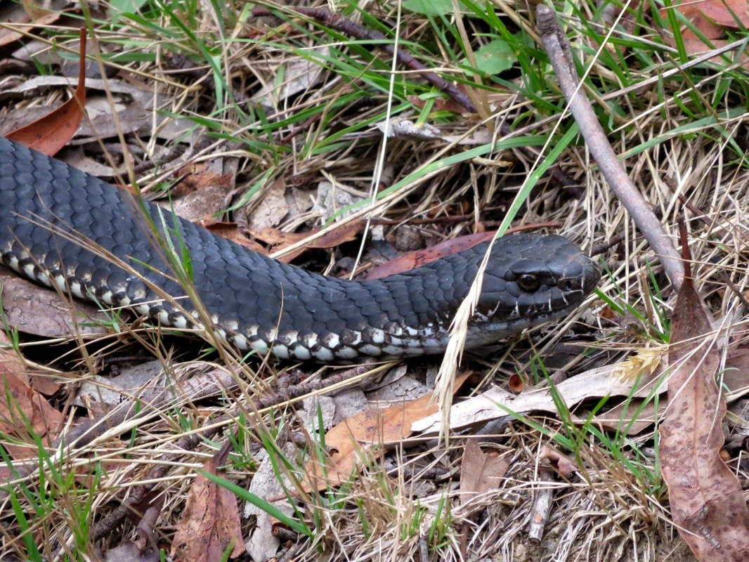
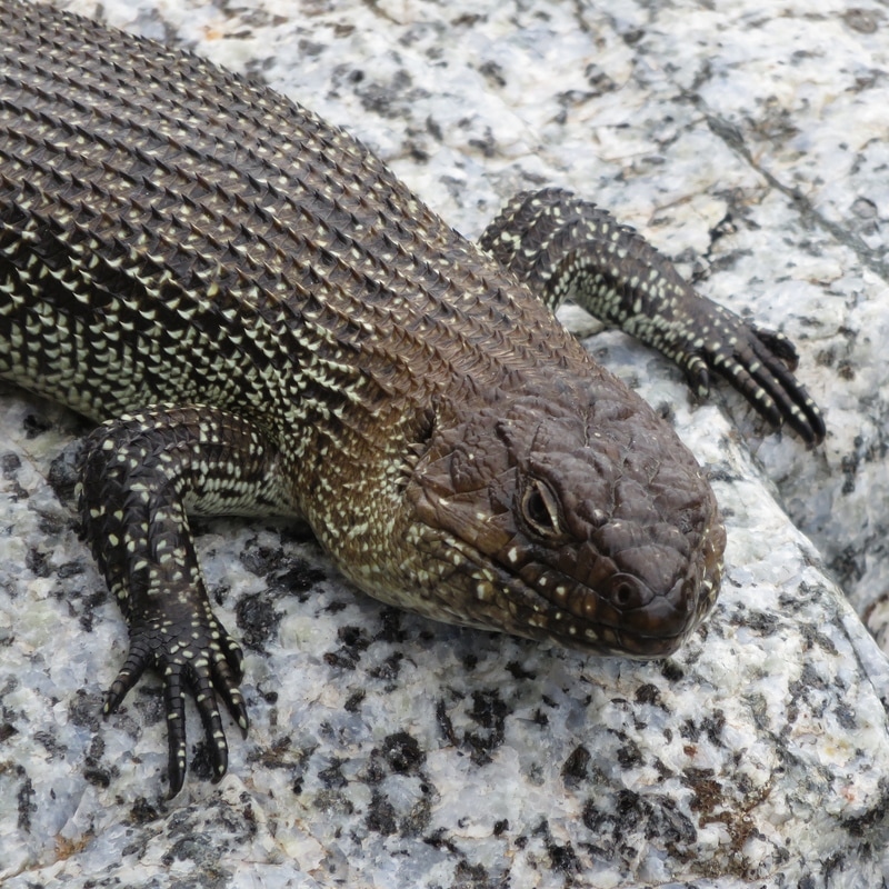
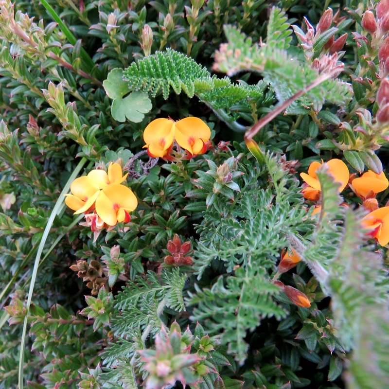
We saw lots of creatures. Birds included fantails, ibis, magpies, mudlarks, punky (crested) pigeons, noisy miners and so on. There were lots of yellow winged grasshoppers that make a clicking sound (we also saw heaps of these at the fire tower on our previous walk), dragonflies, bees and different butterflies. One cool sight was a butterfly with red and yellow spots under its wing laying eggs on a leaf by the path. We also heard lots of frogs - especially in the morning near Tinamba. I couldn’t tell you what species they all were, though. Less of a highlight, but having more of an impact on our walk (and probably our speedy times), were the bloody flies! Yuck. But the main excitement, animal-wise, was a colony of flying foxes (bats) just over the river from Maffra. We’d driven past multiple times and never noticed them, but they were pretty unmissable while walking under their roost trees - what a racket!
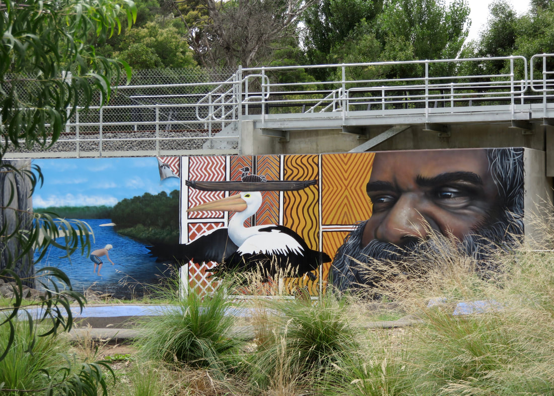
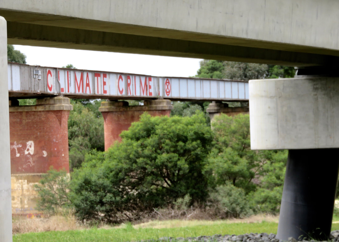
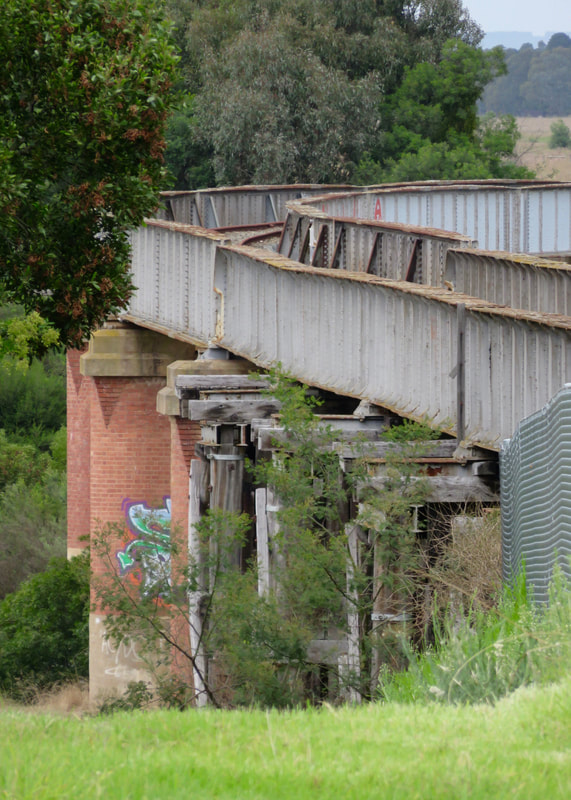
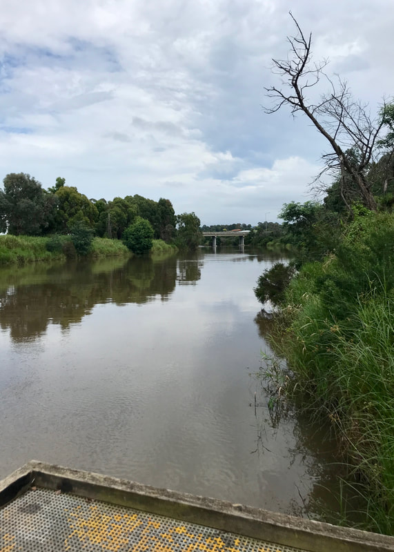
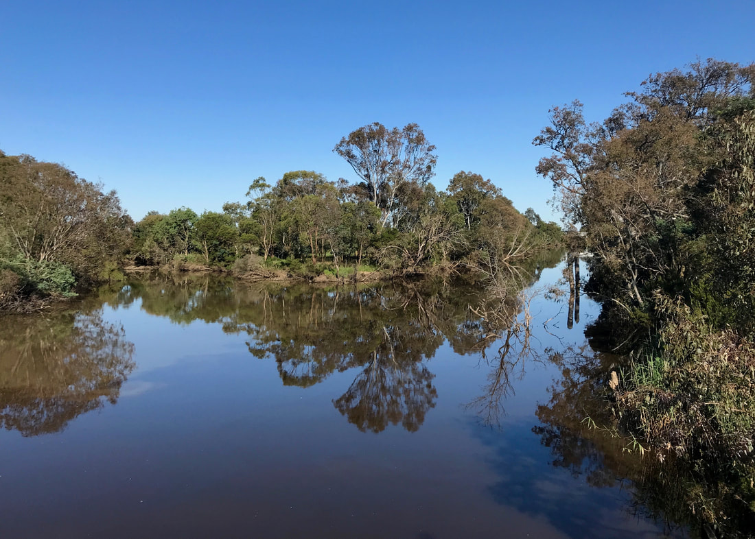
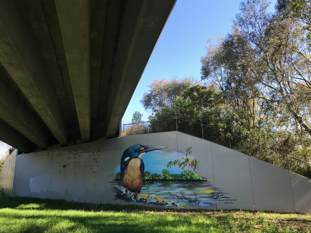
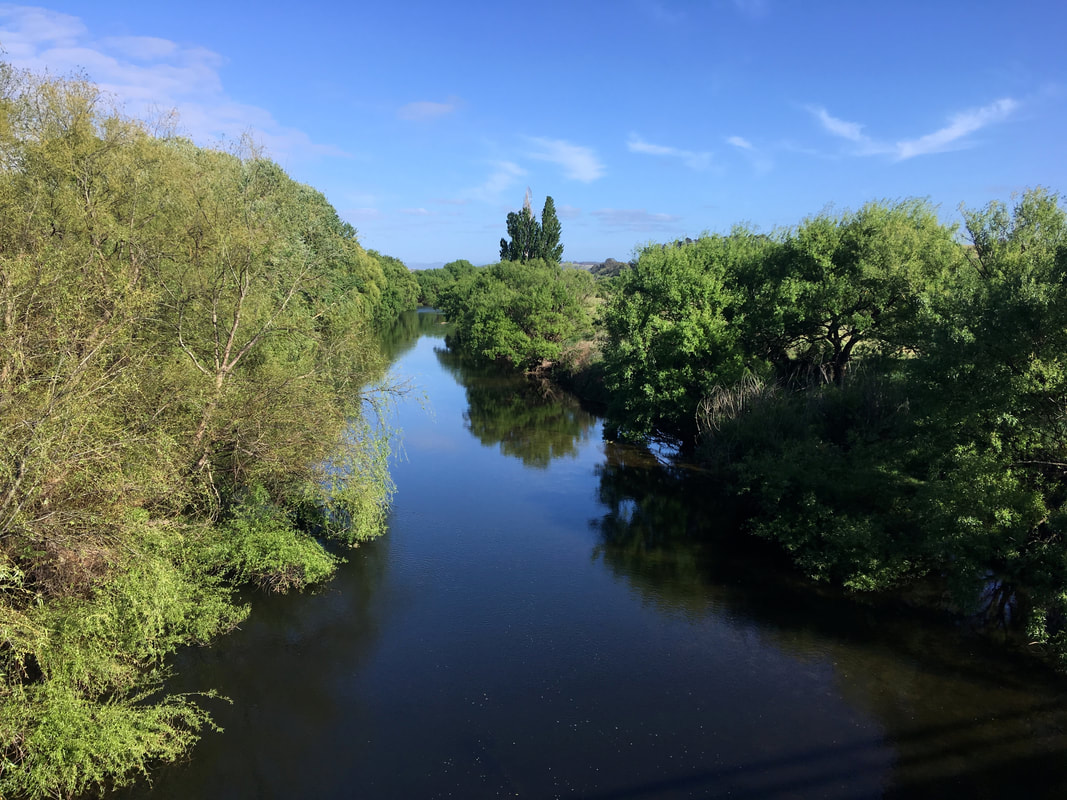
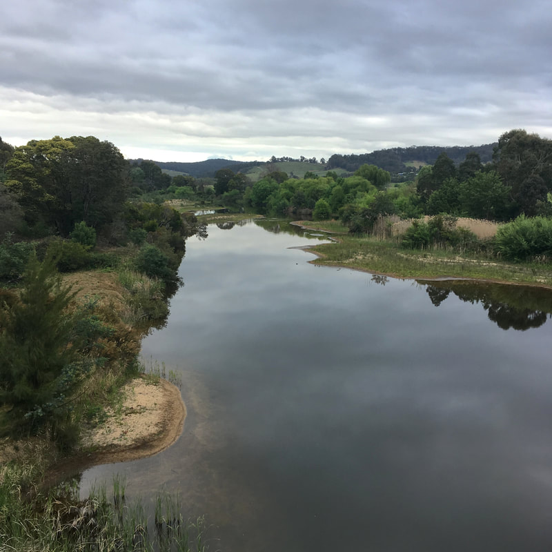
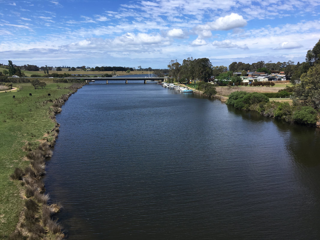
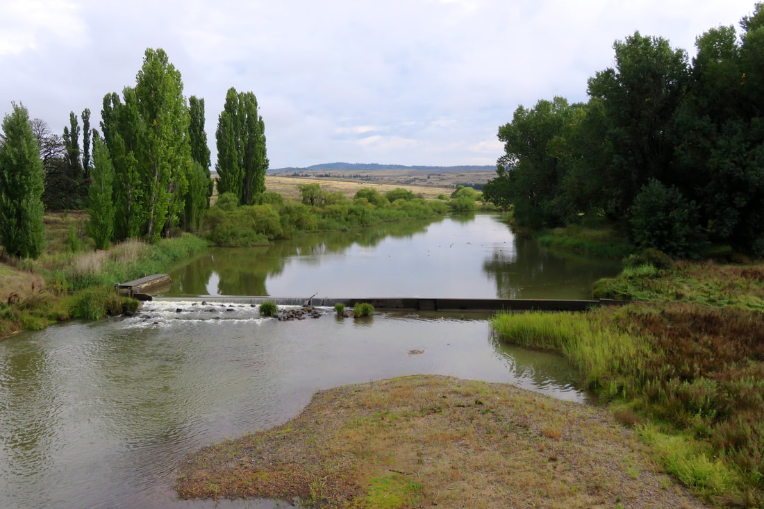
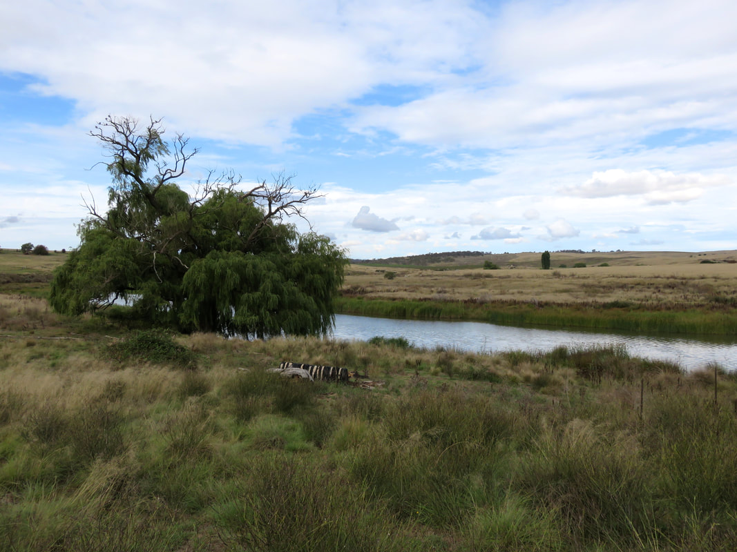
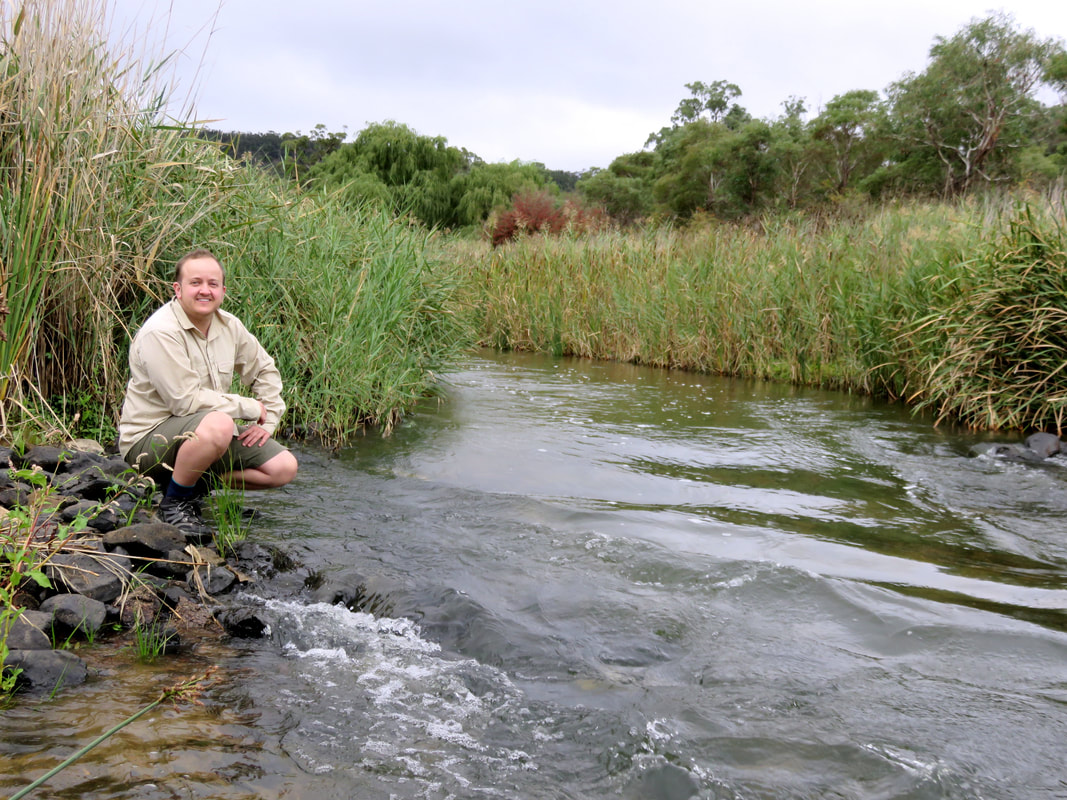
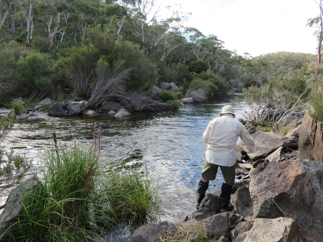
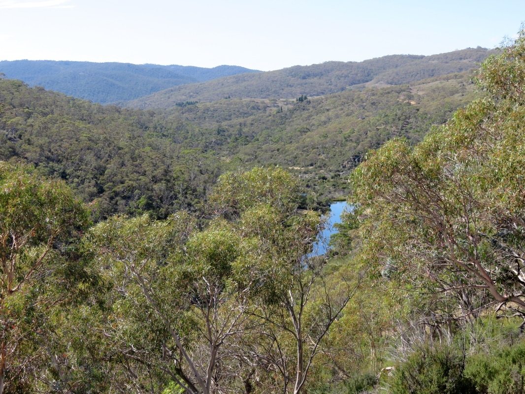
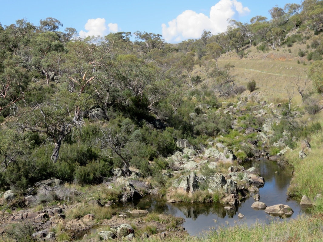
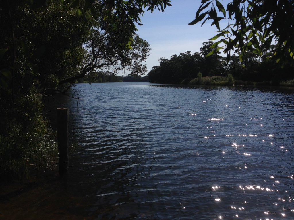
View of the Wirn wirndook Yeerung - "song of the male emu wren" or "song of the male fairy wren" - (Macalister River) on the entry to Maffra.
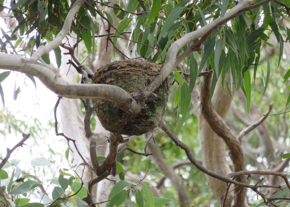
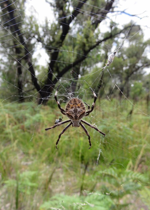
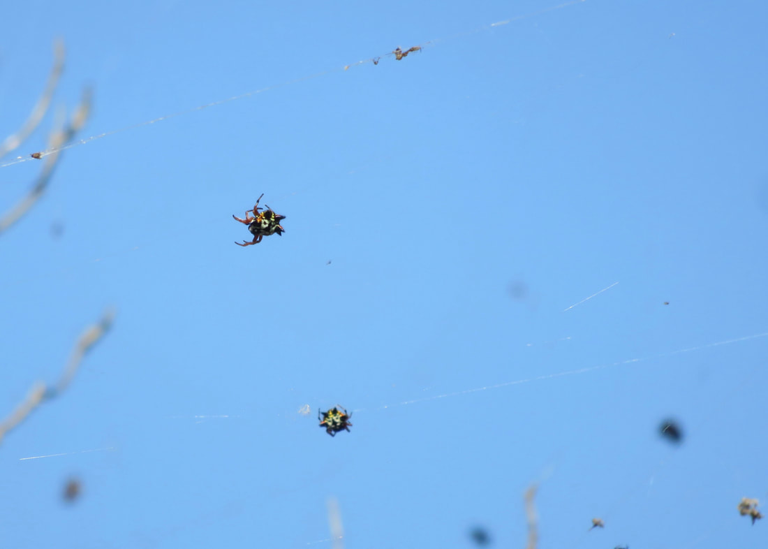
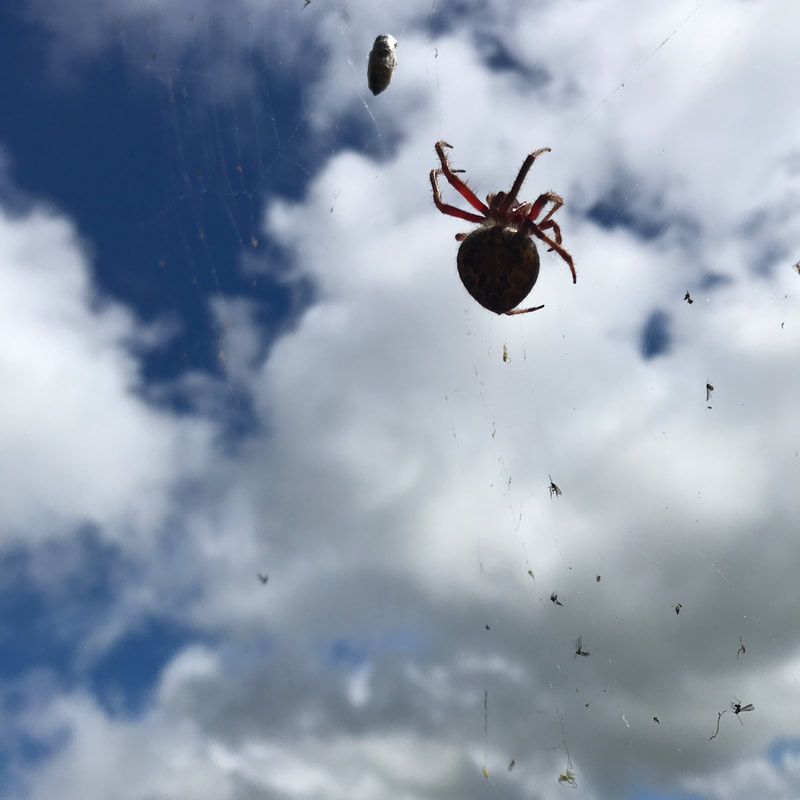 Big blorb of a spider! | 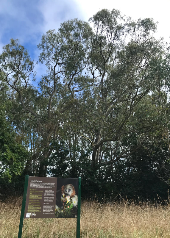 Can you see the bats in the trees? |
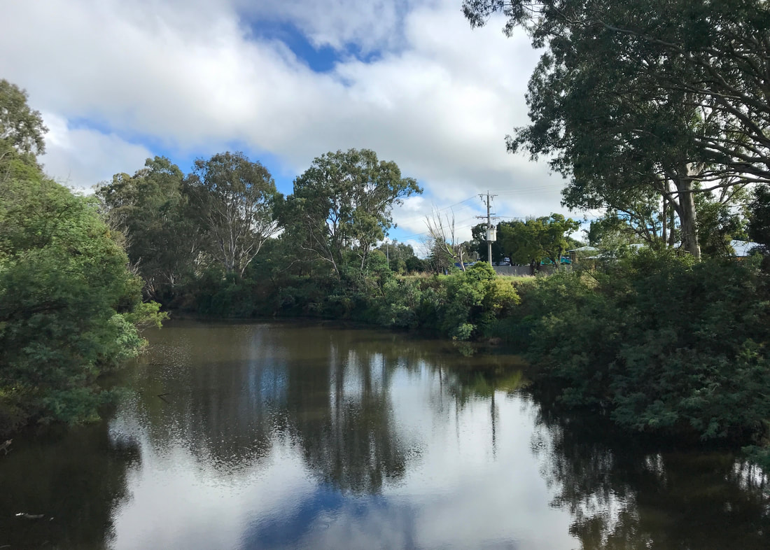
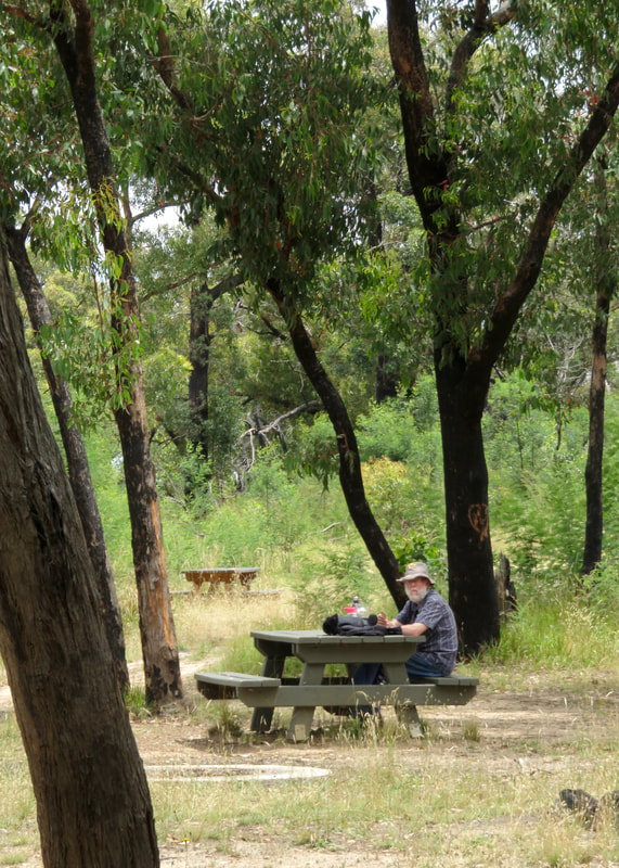
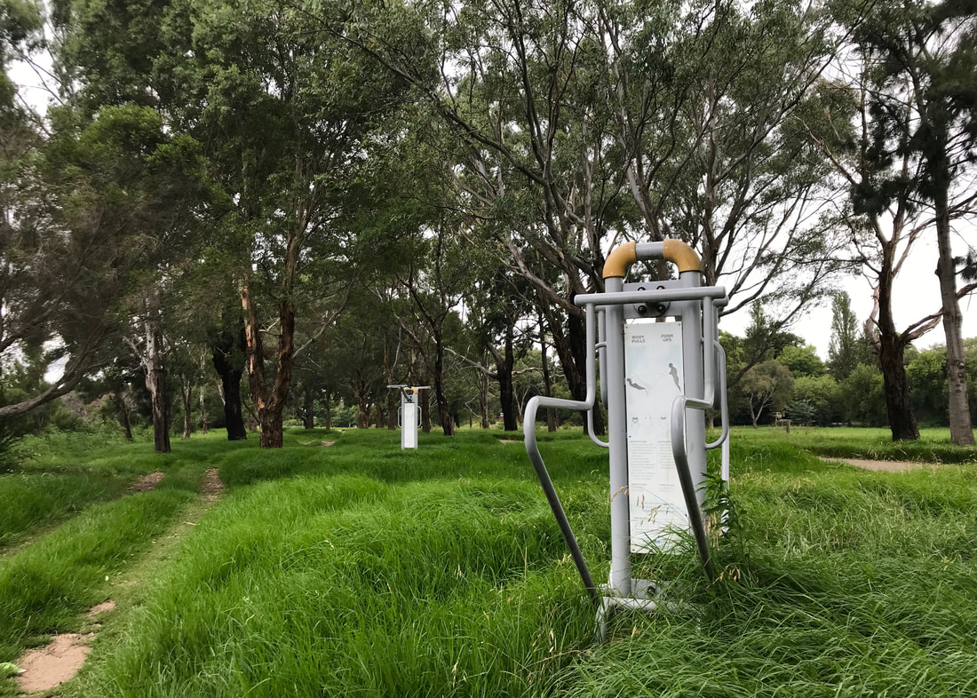
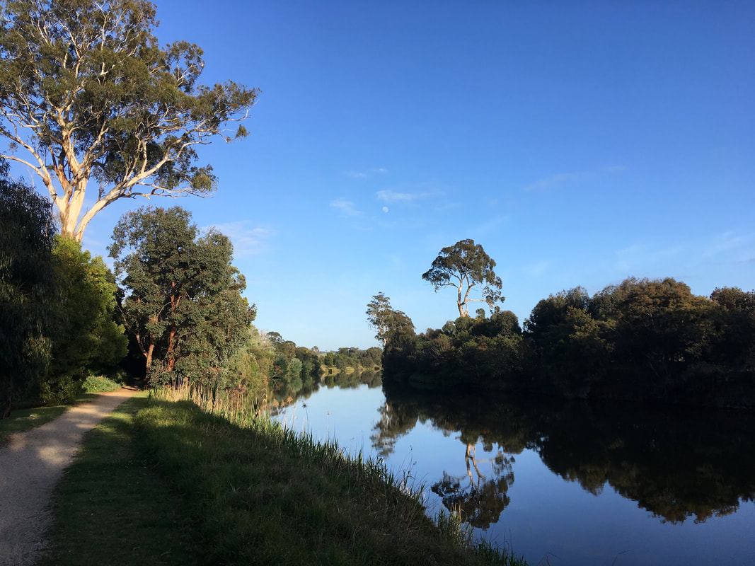
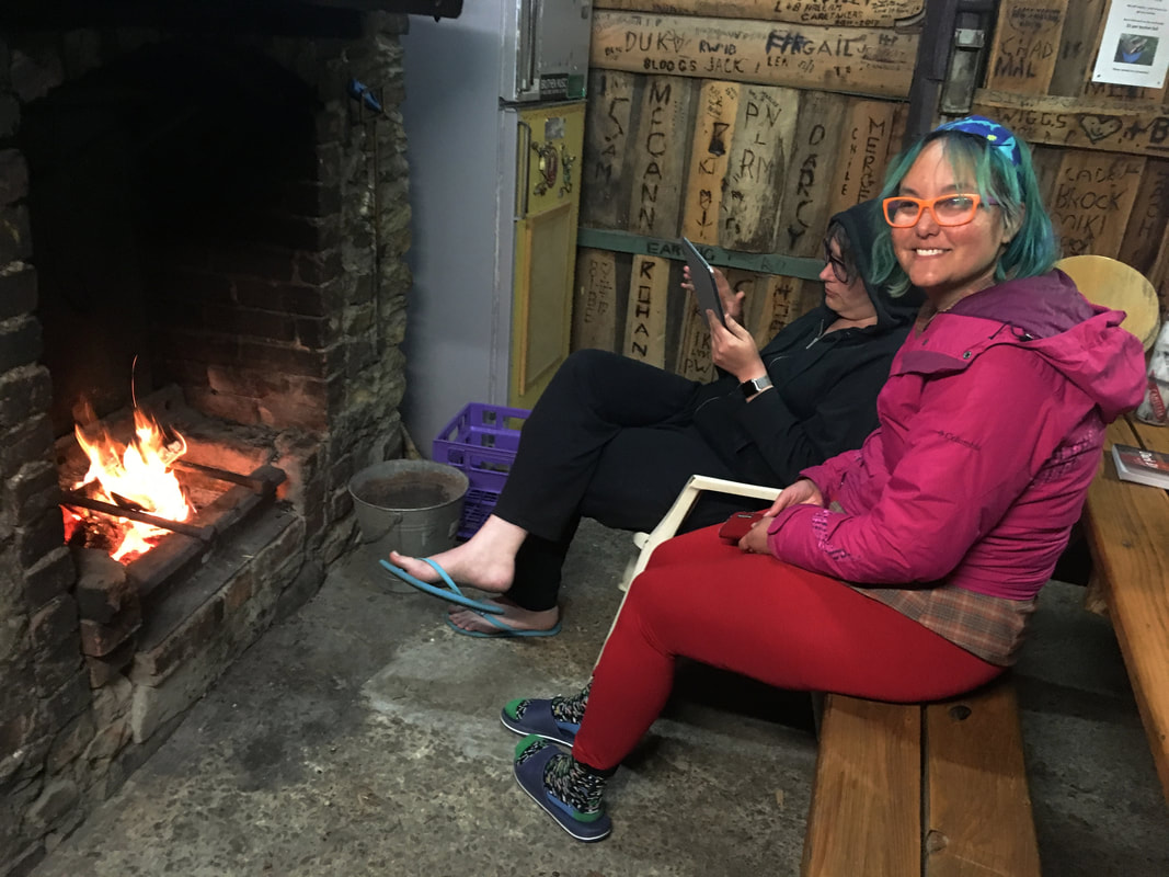
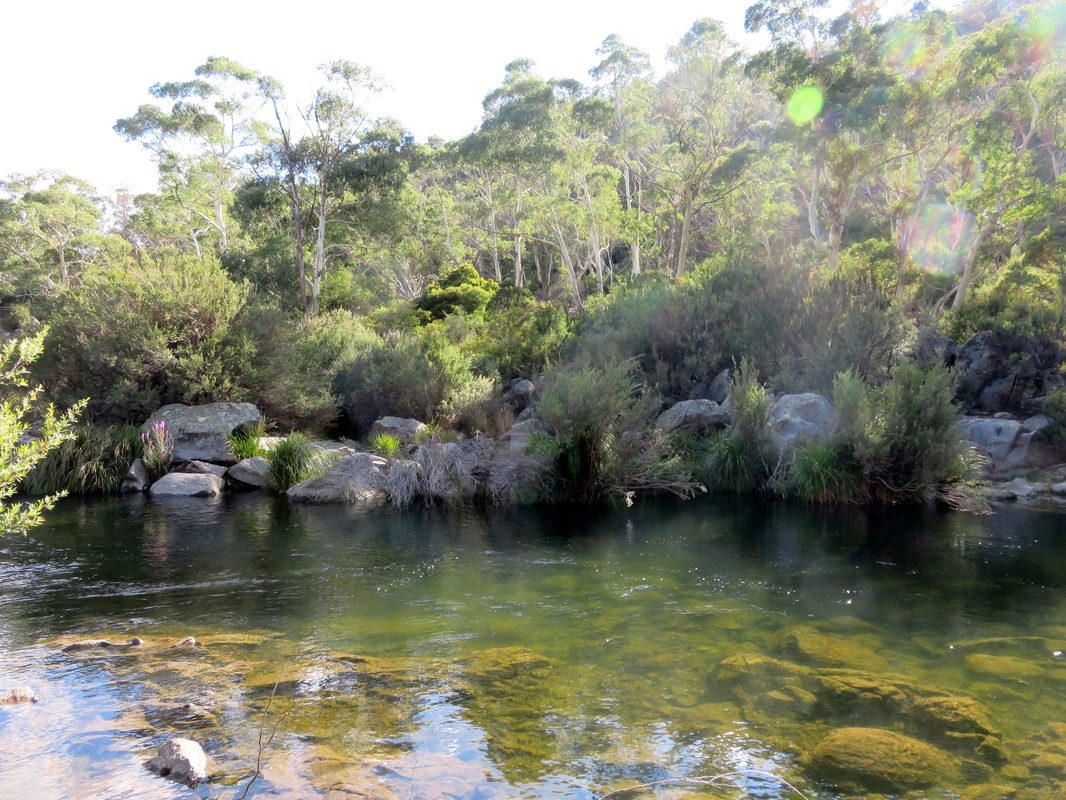
Maffra is a nice little town, and we enjoyed having morning tea there with my folks. Not only was it fun to hear about Dad’s bike ride and have a little debrief with Mum about the first half of the walk, it was good to sit in a comfortable chair, let our legs and feet rest for half an hour, and engage some different muscles. The riverside walks and parks in Maffra are always lovely to stroll in, too.
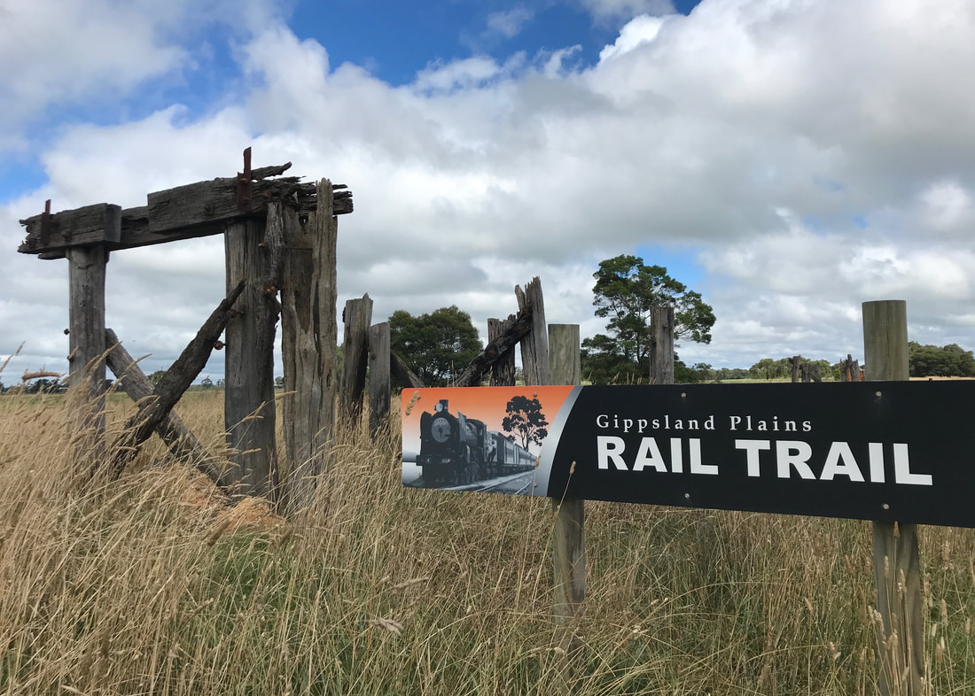
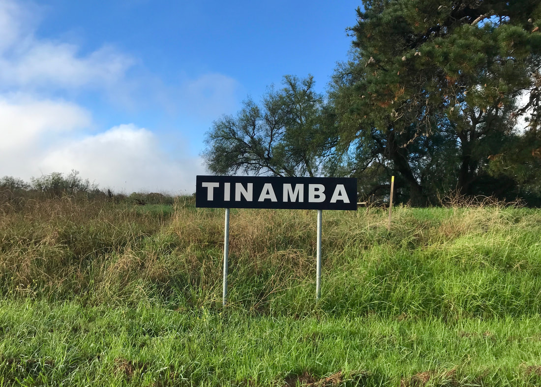
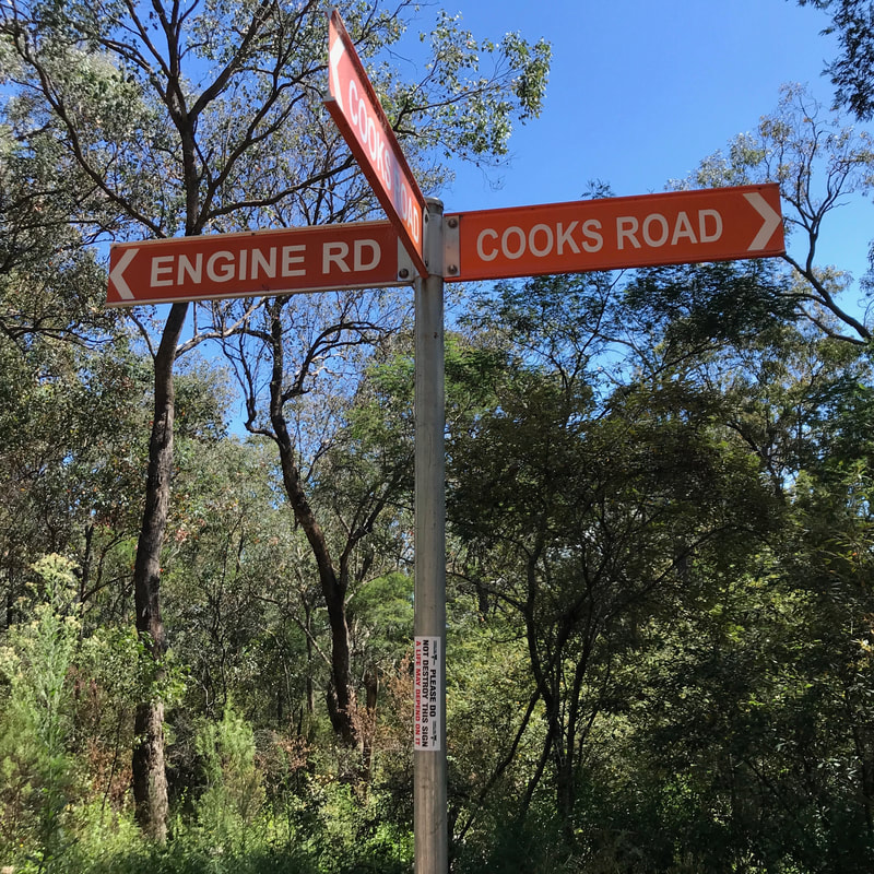
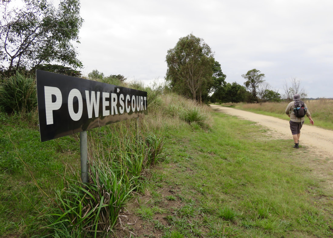
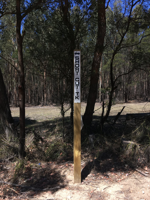
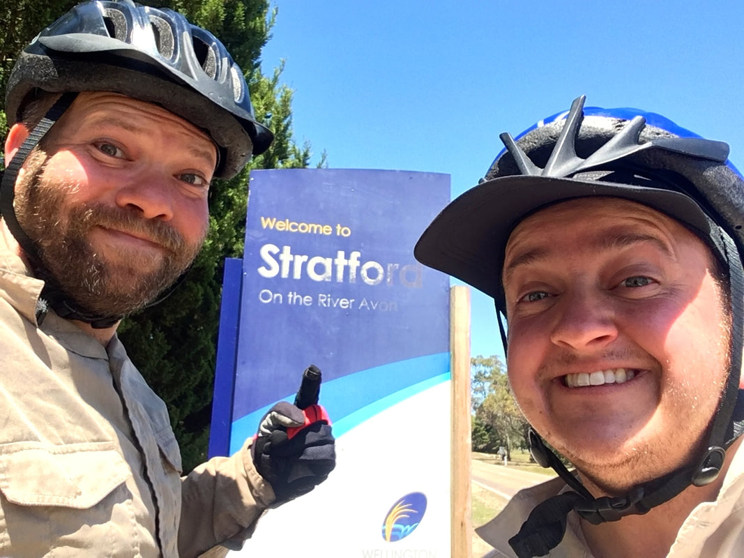
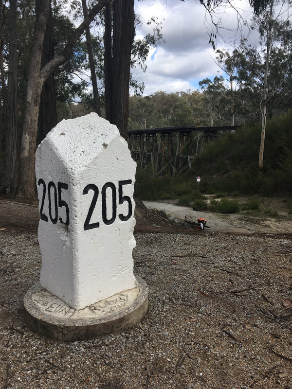
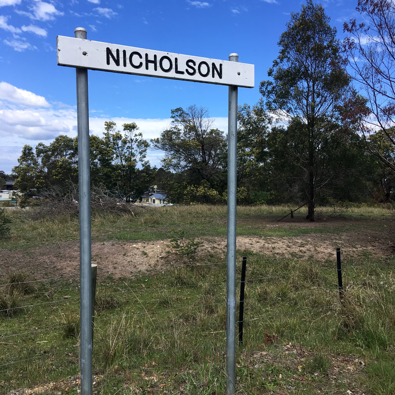
In case you were in any doubt which trail you were on!
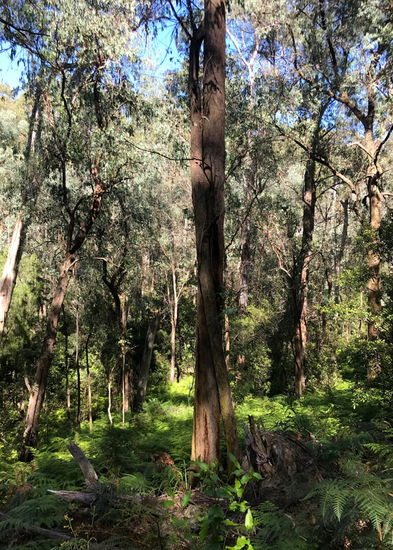
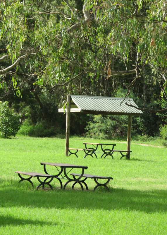
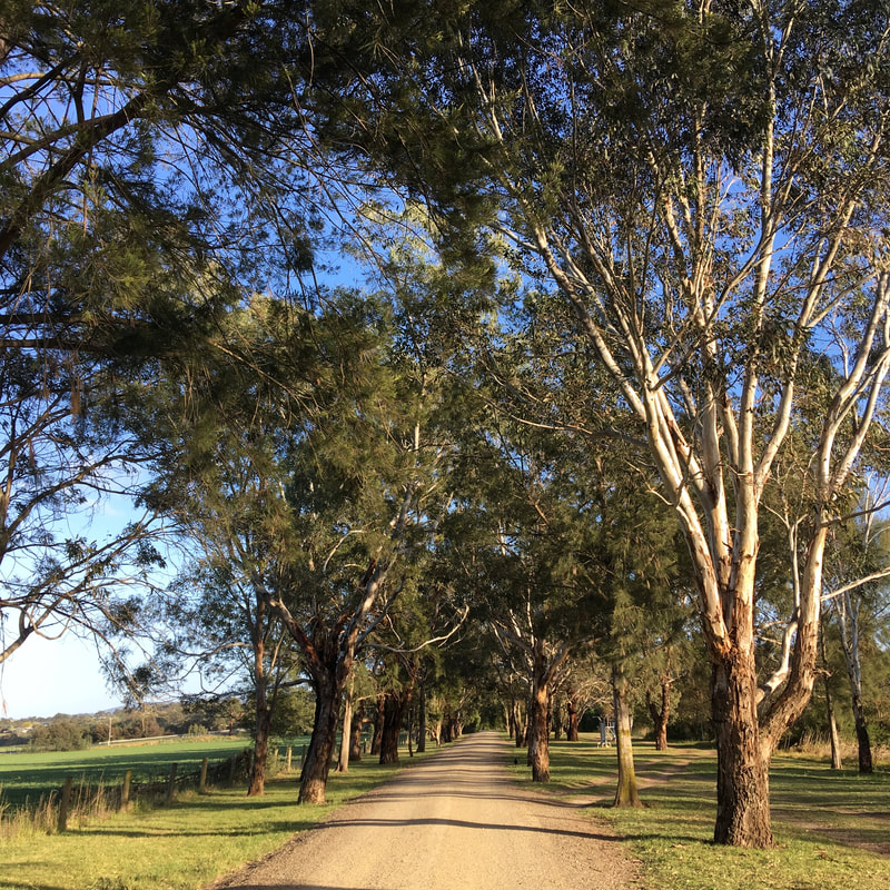
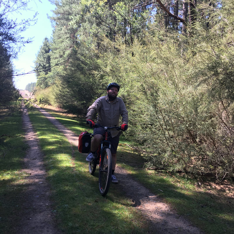
 One of the few sheltered sections, with lovely old trees. | 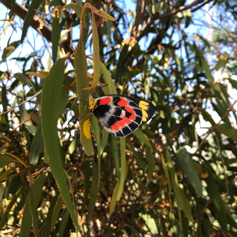 This butterfly had just finished laying eggs on the leaf and seemed exhausted. |
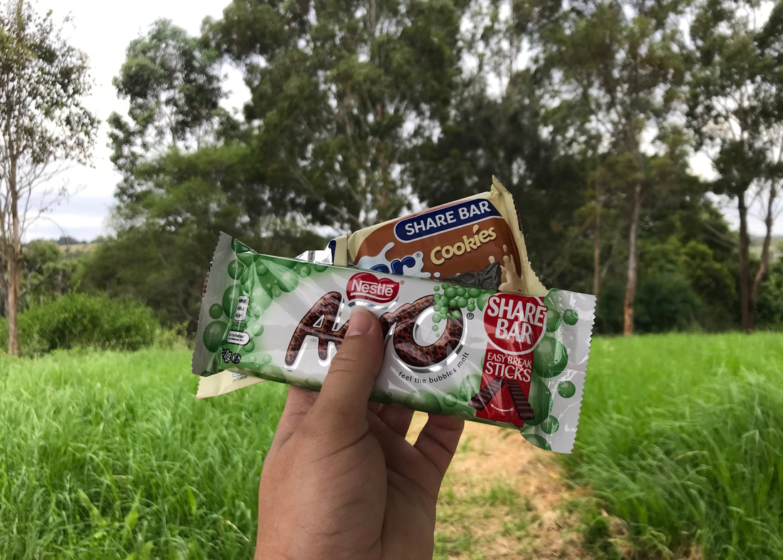
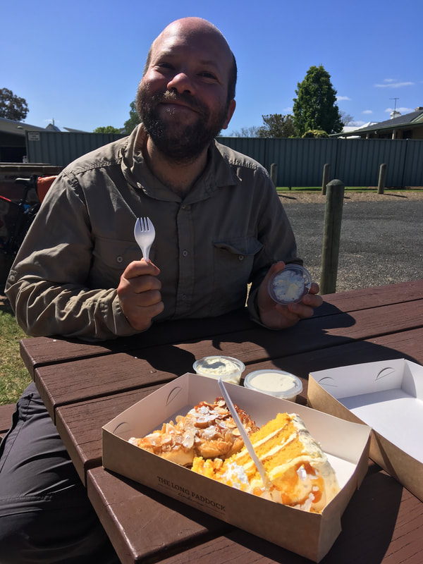
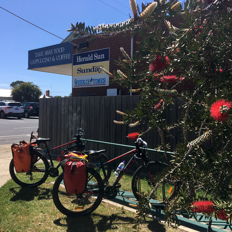
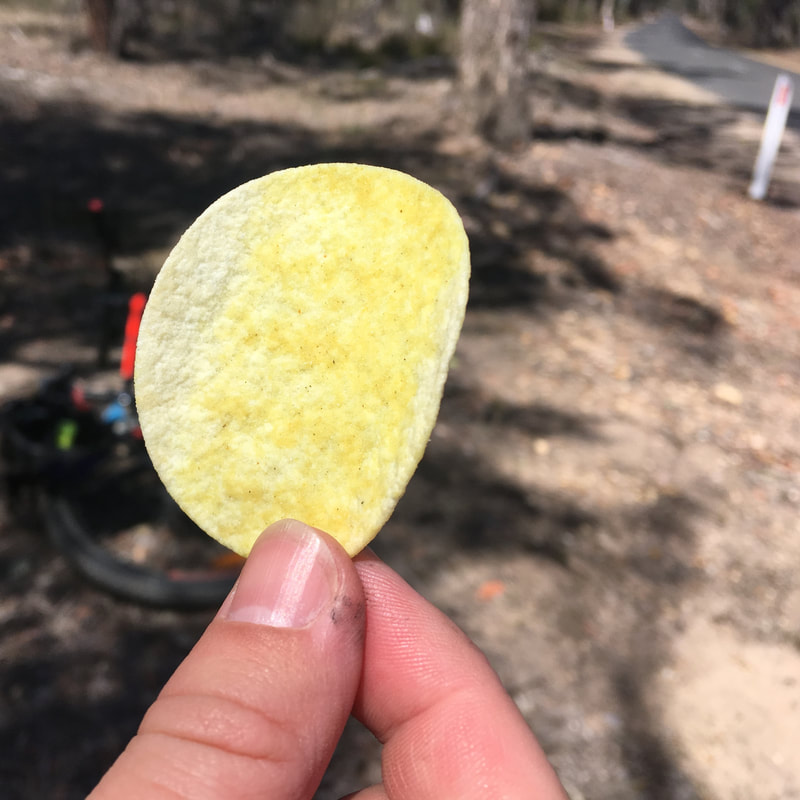
We were pretty ready for a snack and a cold drink when we got back to Tinamba, and the general store provided both - including some great potato cakes!
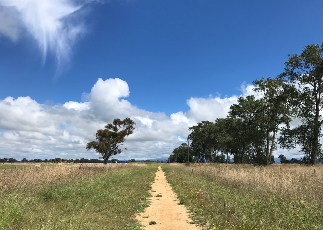
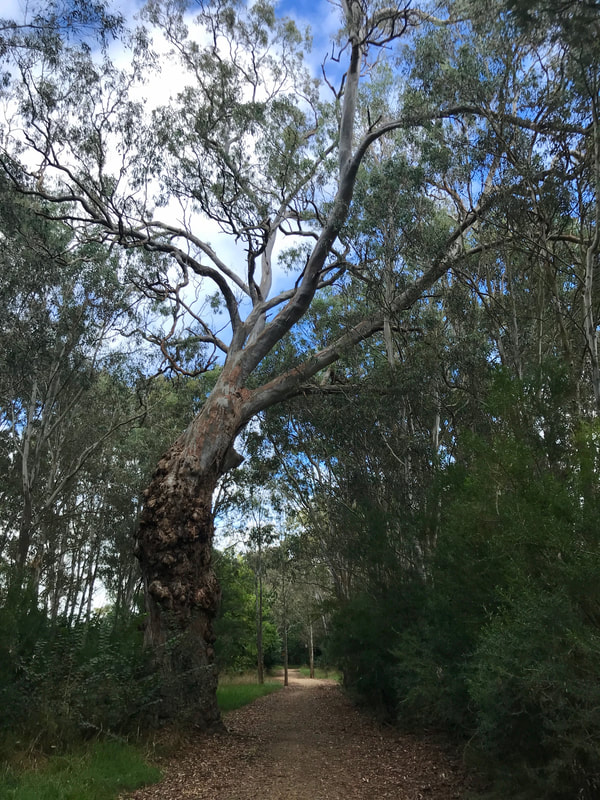
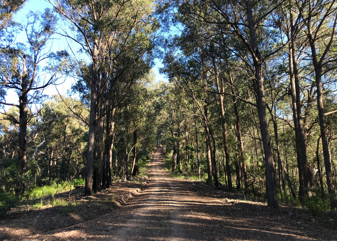
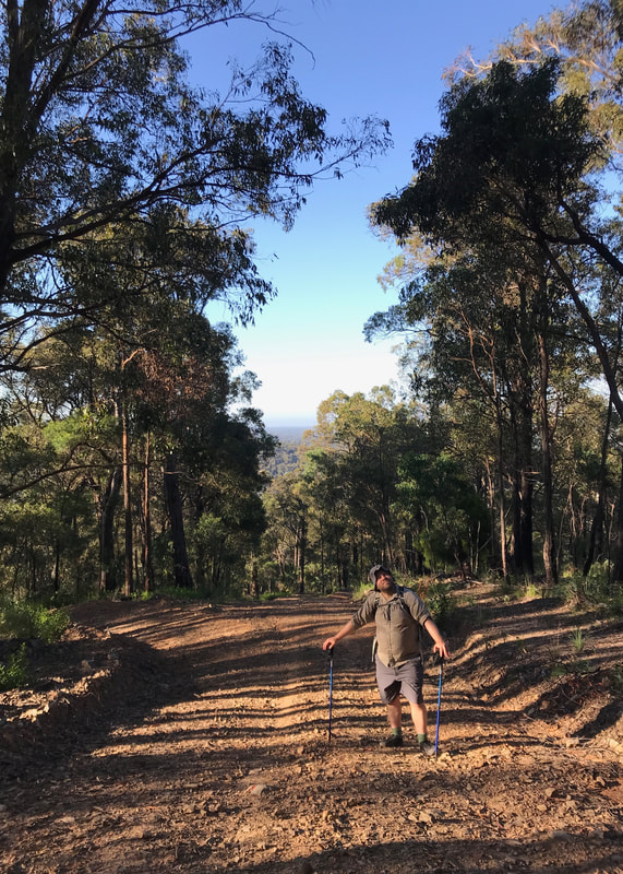
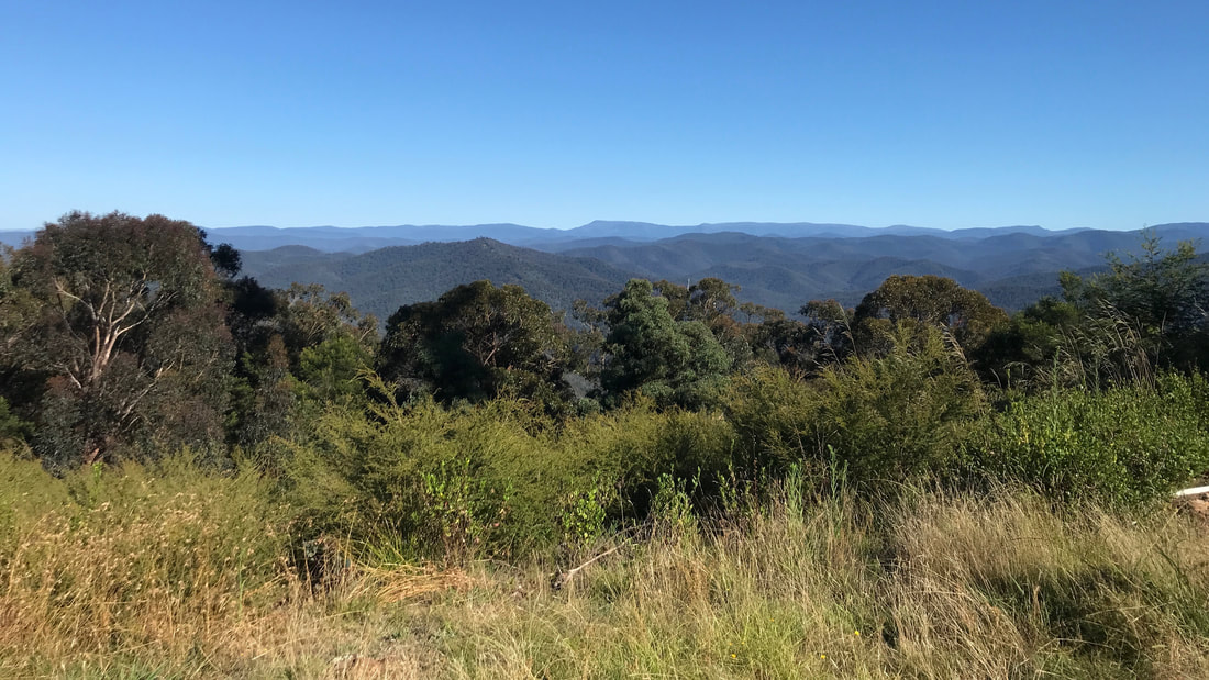
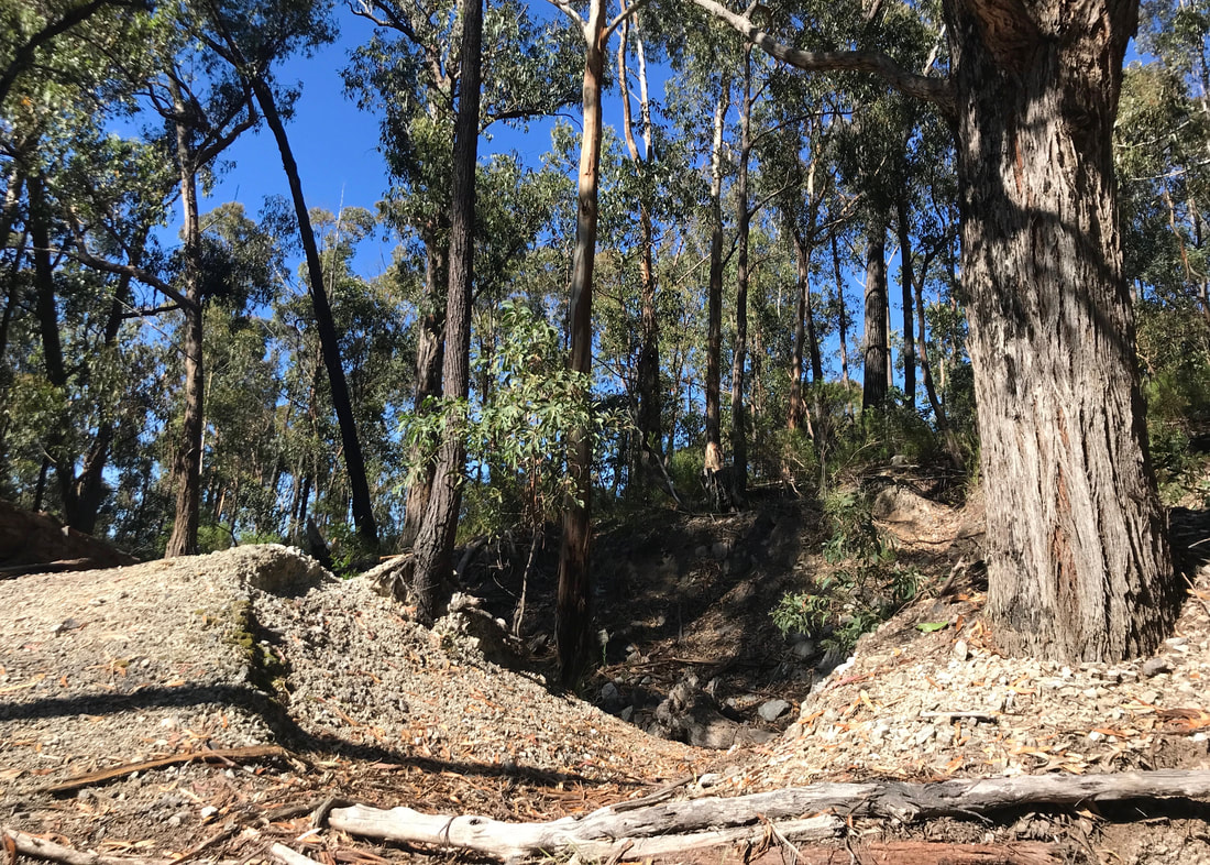
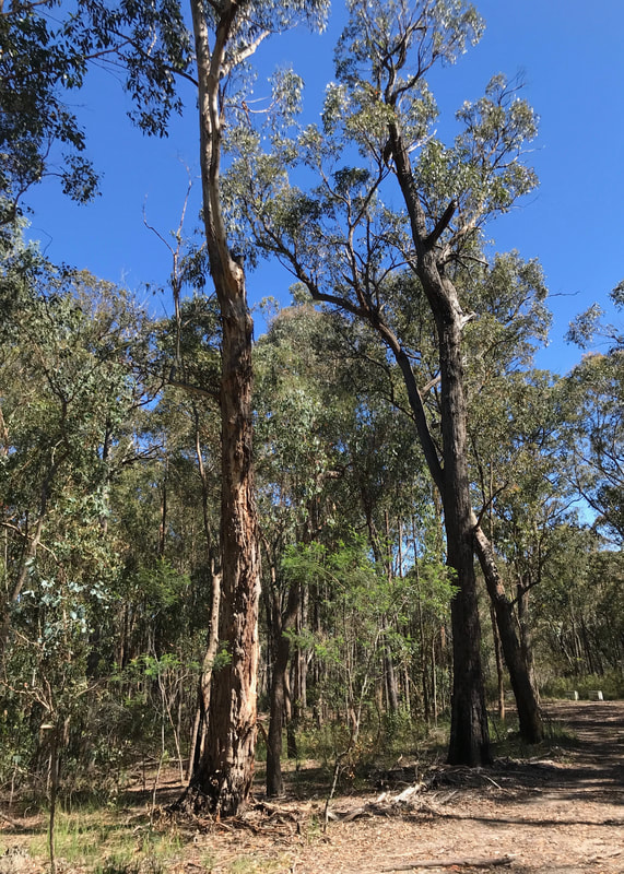
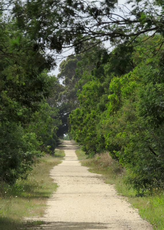
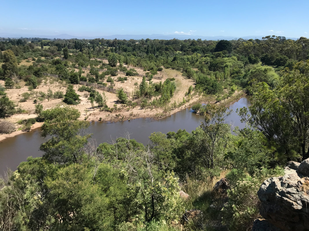
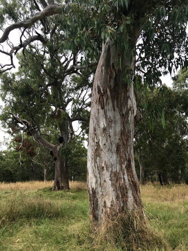
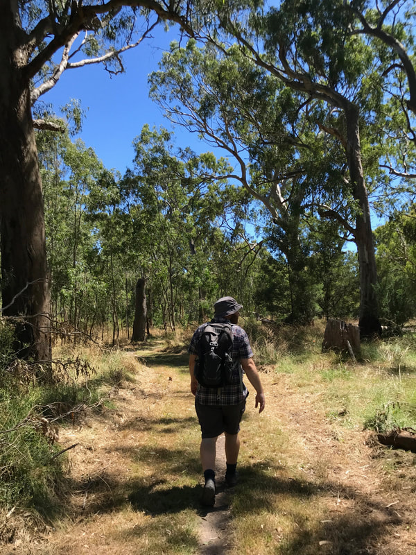
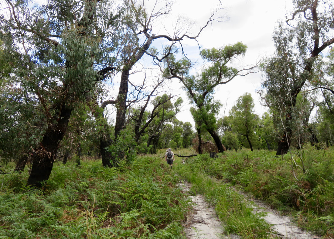
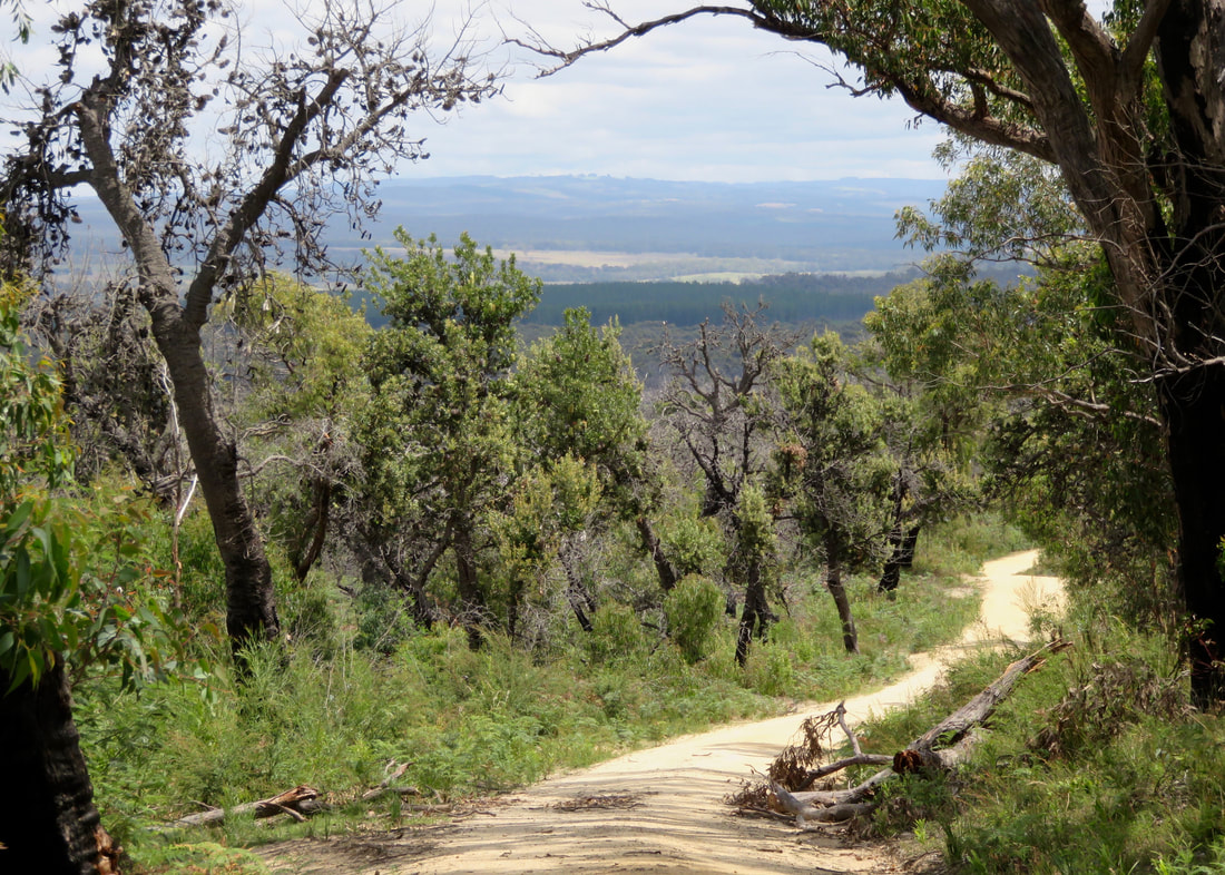
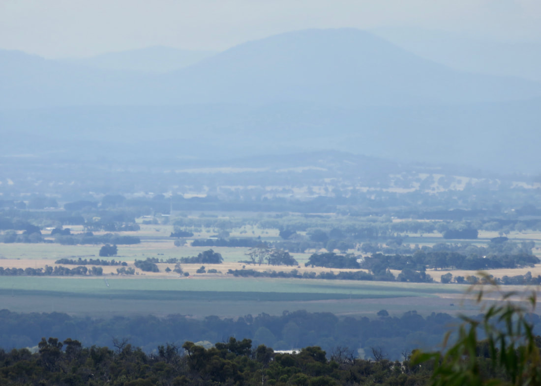
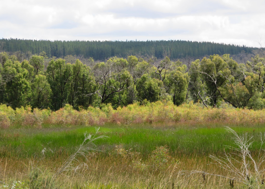
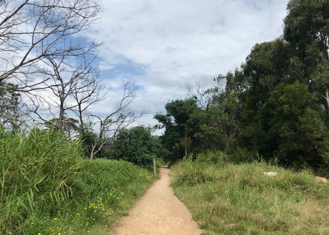
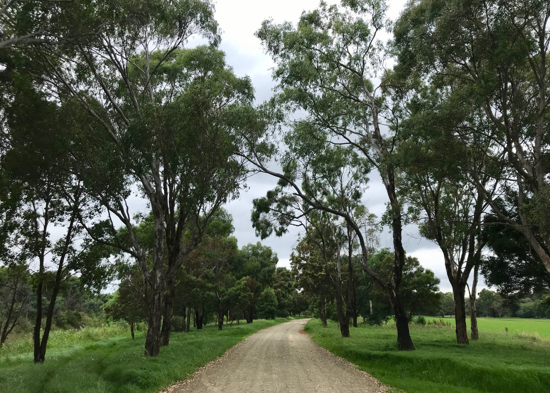
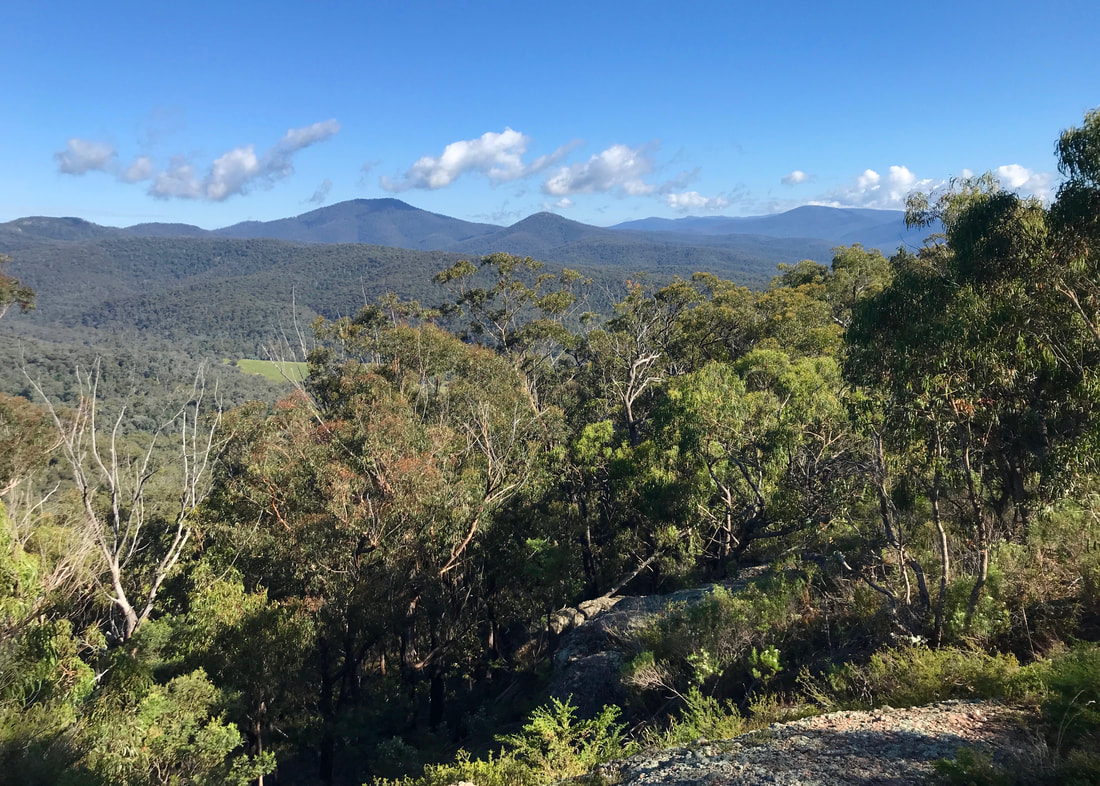
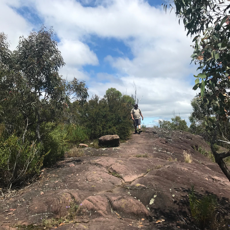
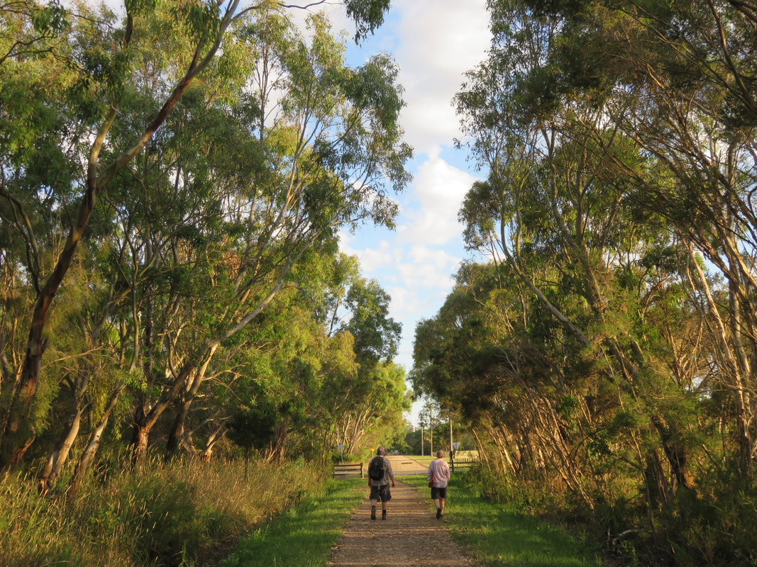
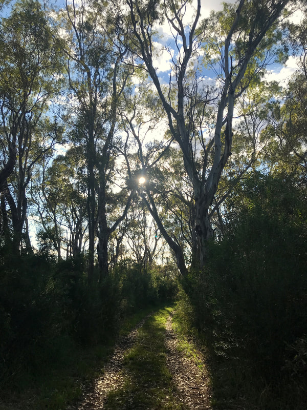
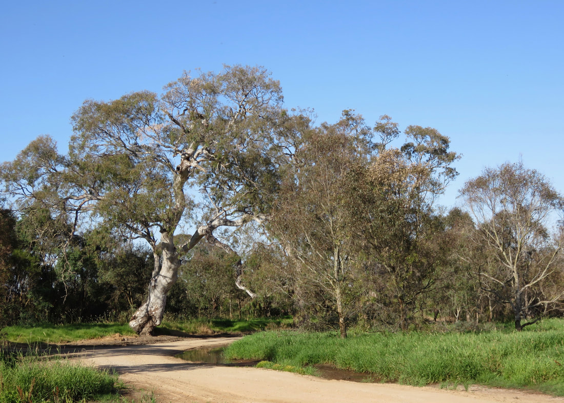
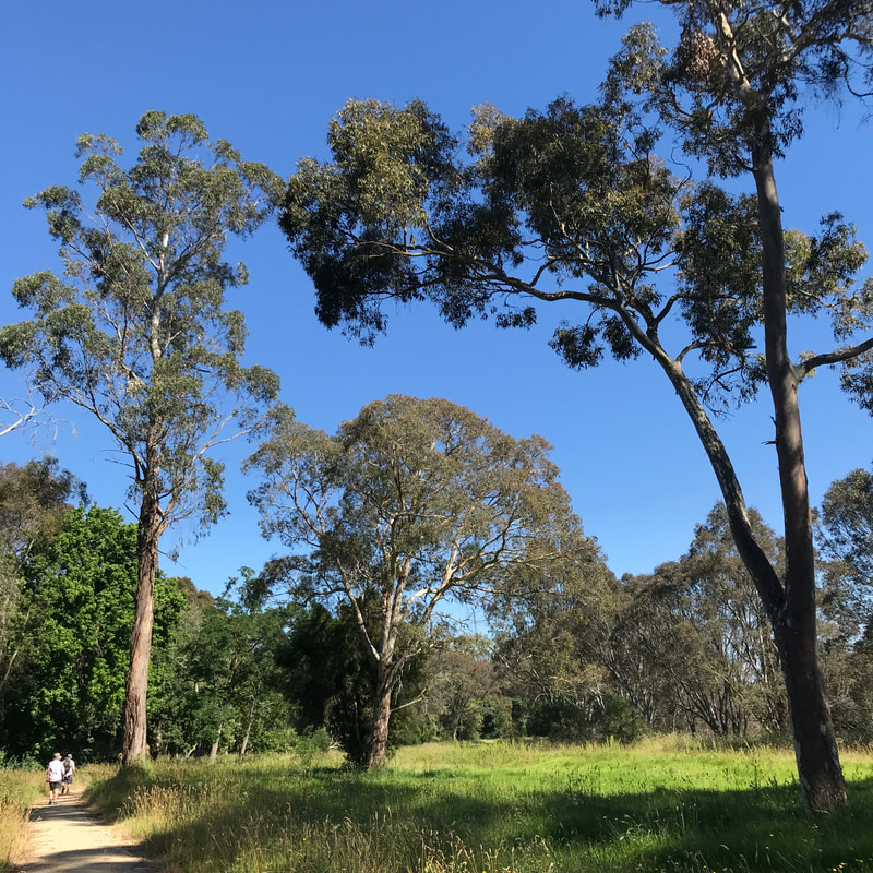
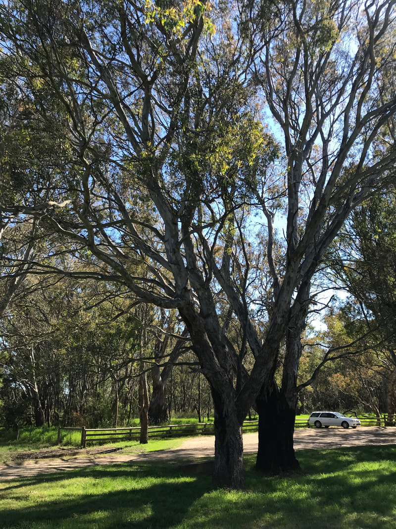
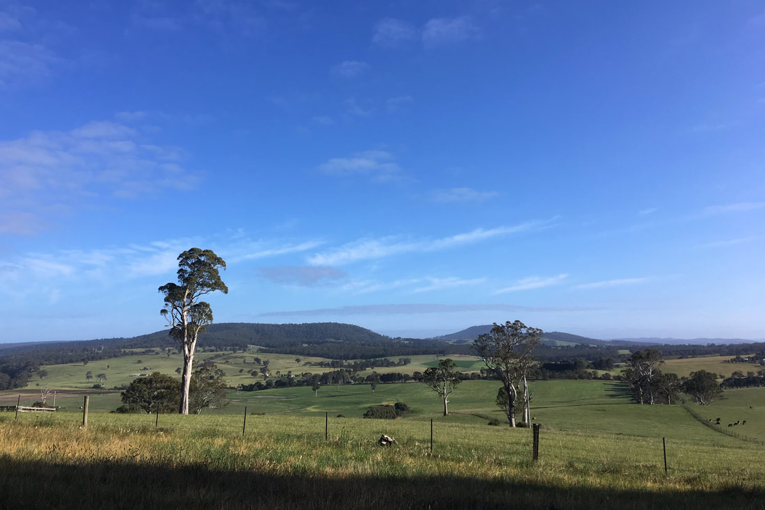
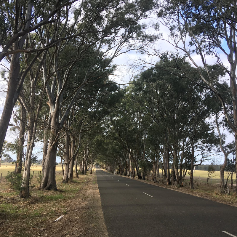
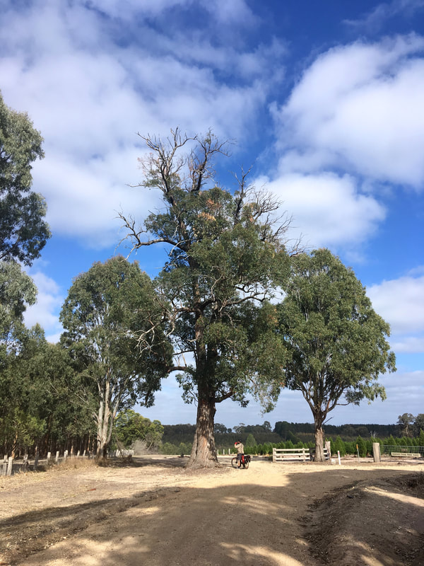
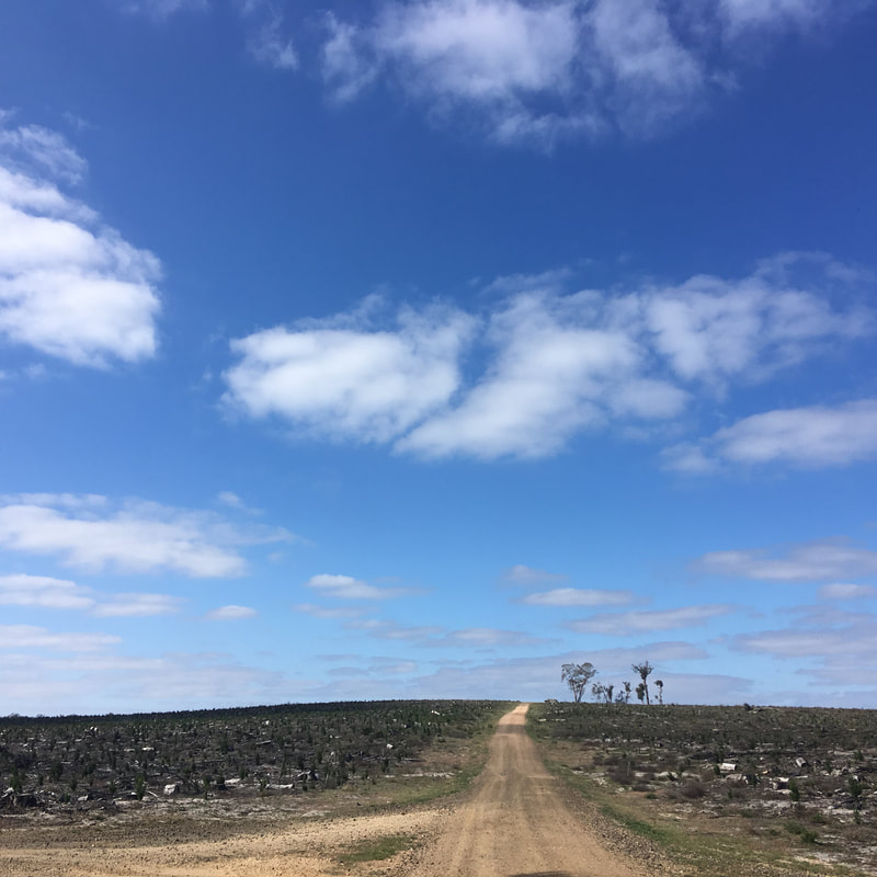
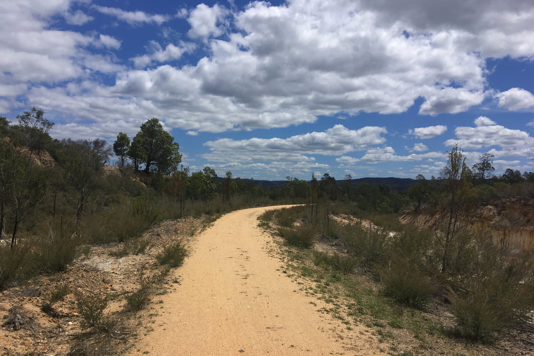
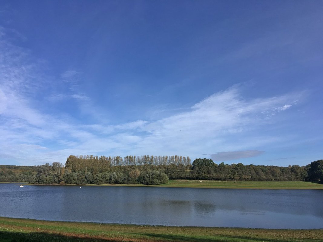
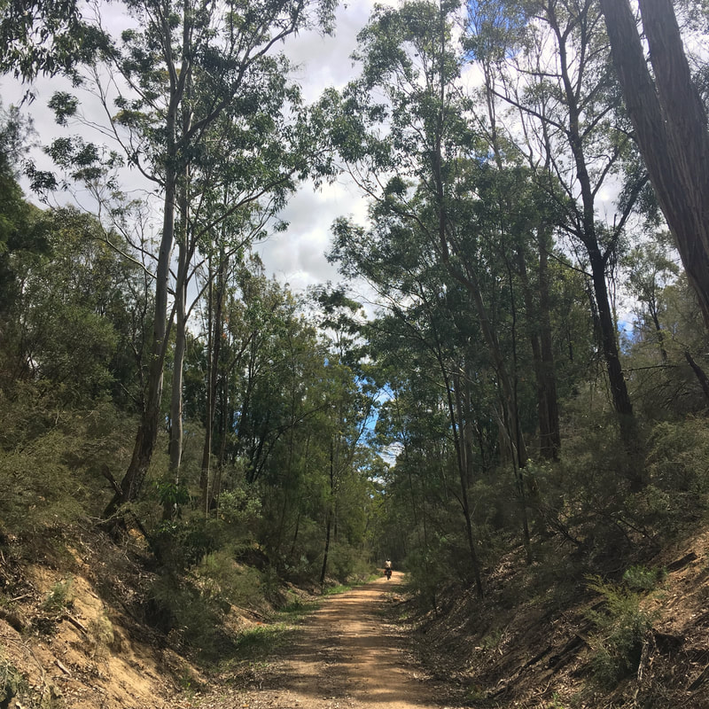
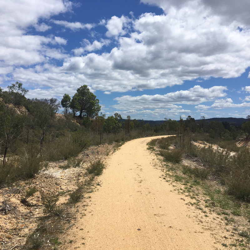
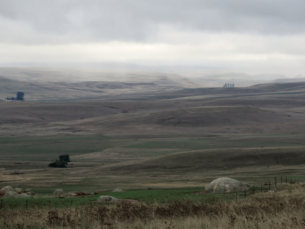
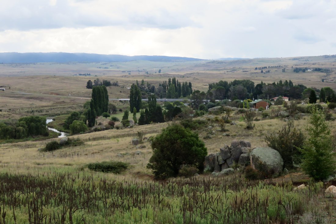
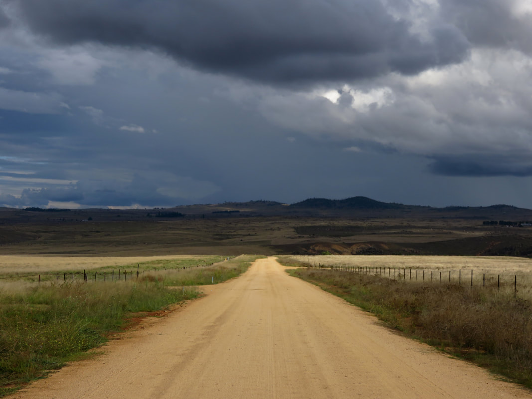
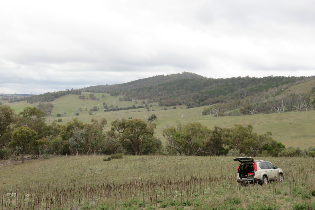
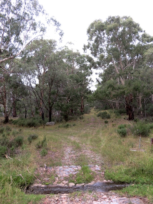
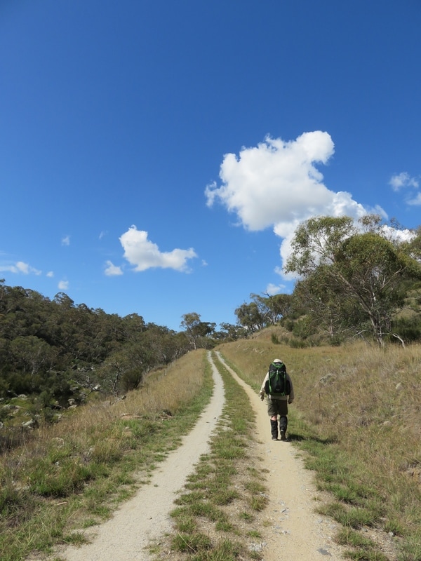
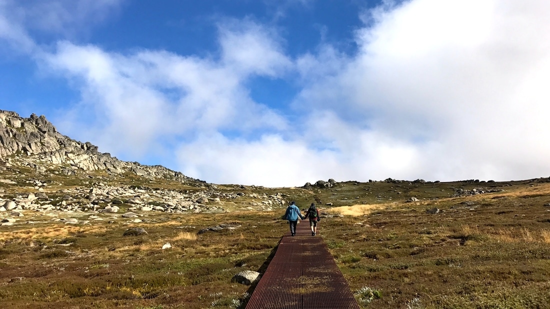
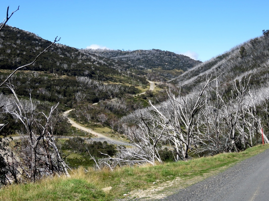
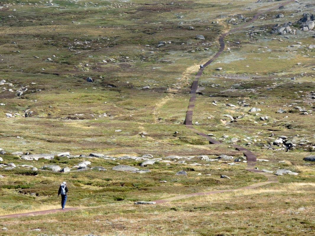
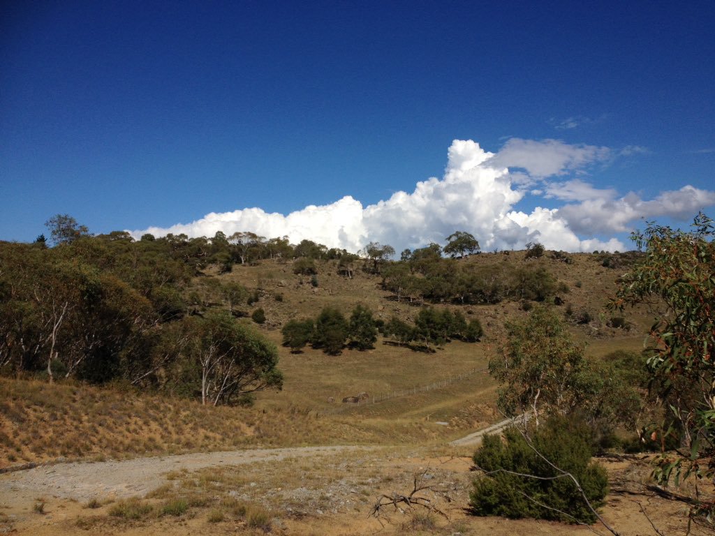
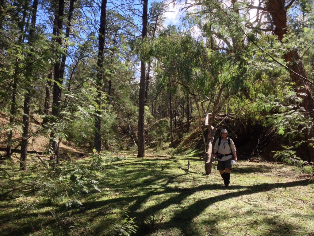
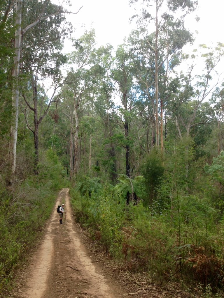
A long path heading straight for the hills - I think Baw Baw is in the distance. A lot of the trail was through this kind of landscape.
Notes
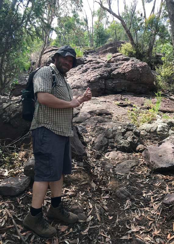
After the hills of our last walk, this was dead easy. We walked each way in under 2 hours, probably in part because whenever we stopped the flies would swarm us! Aside from a couple of dips down to creeks and so on, the path is flat (walkers’ flat - it’s slightly uphill on the Tinamba end if you’re cycling).
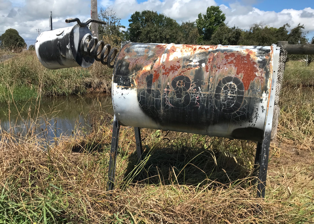
Now that's a letterbox.
My legs were fine afterwards, my lower back appreciated the rest in Maffra, and my feet were a bit achy from the repetitive, flat walking. I gave myself a bit of a foot rub in the afternoon and stretched out my calves to make sure I didn’t have too many issues the following day. The second right toe blister didn’t make a reappearance (I don’t get it!), though the toe itself was a bit achy.
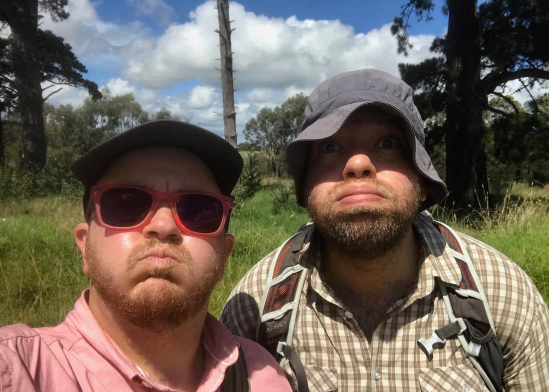
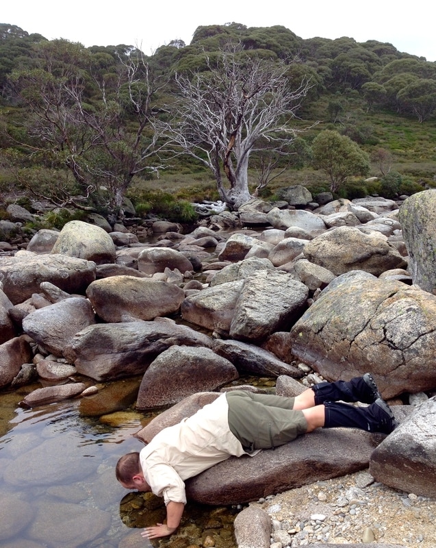
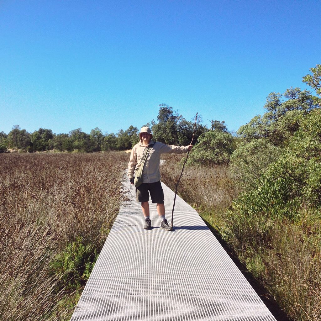
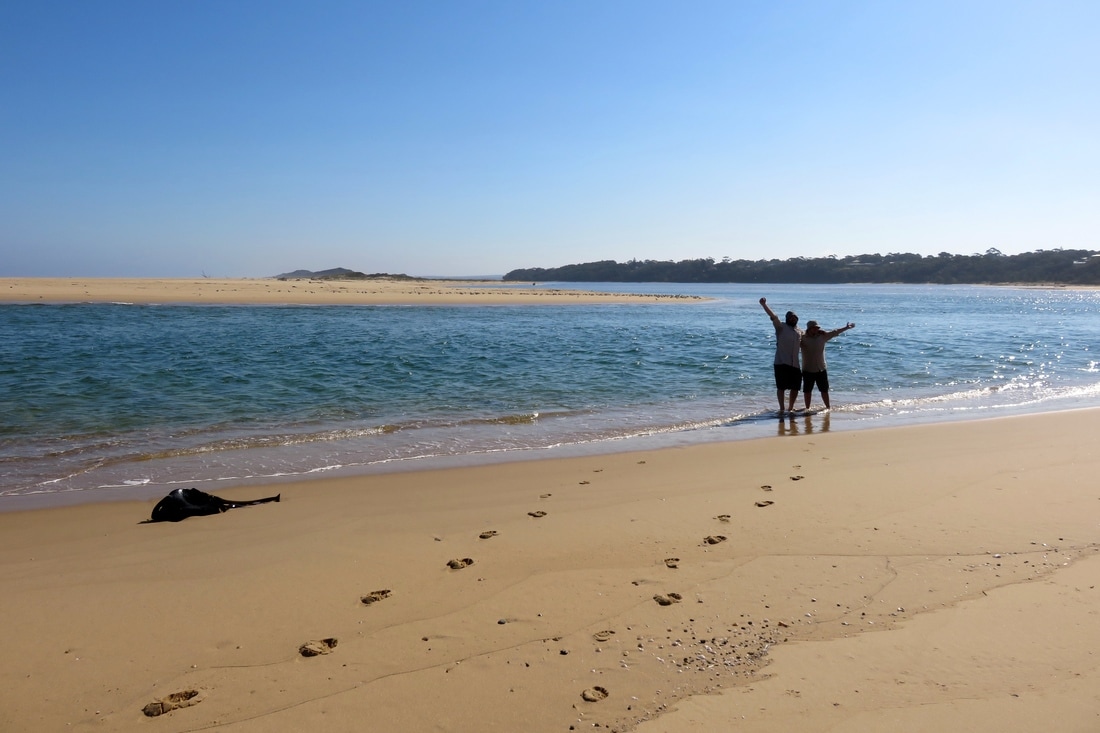
Us, hot and bothered at the end of our return walk in the sun.
All in all, February has been good for getting my distances over 15km, and I’m pleased that I’m able to get that distance knocked out before lunch. March is for ~20km walks, and I know that these take a bit more preparation, as they almost always involve lunch on the trail. I’ll also be starting to add in some overnight walks in the next couple of months (probably shorter distances to start with) to get into the swing of things with my Tarptent and so on.
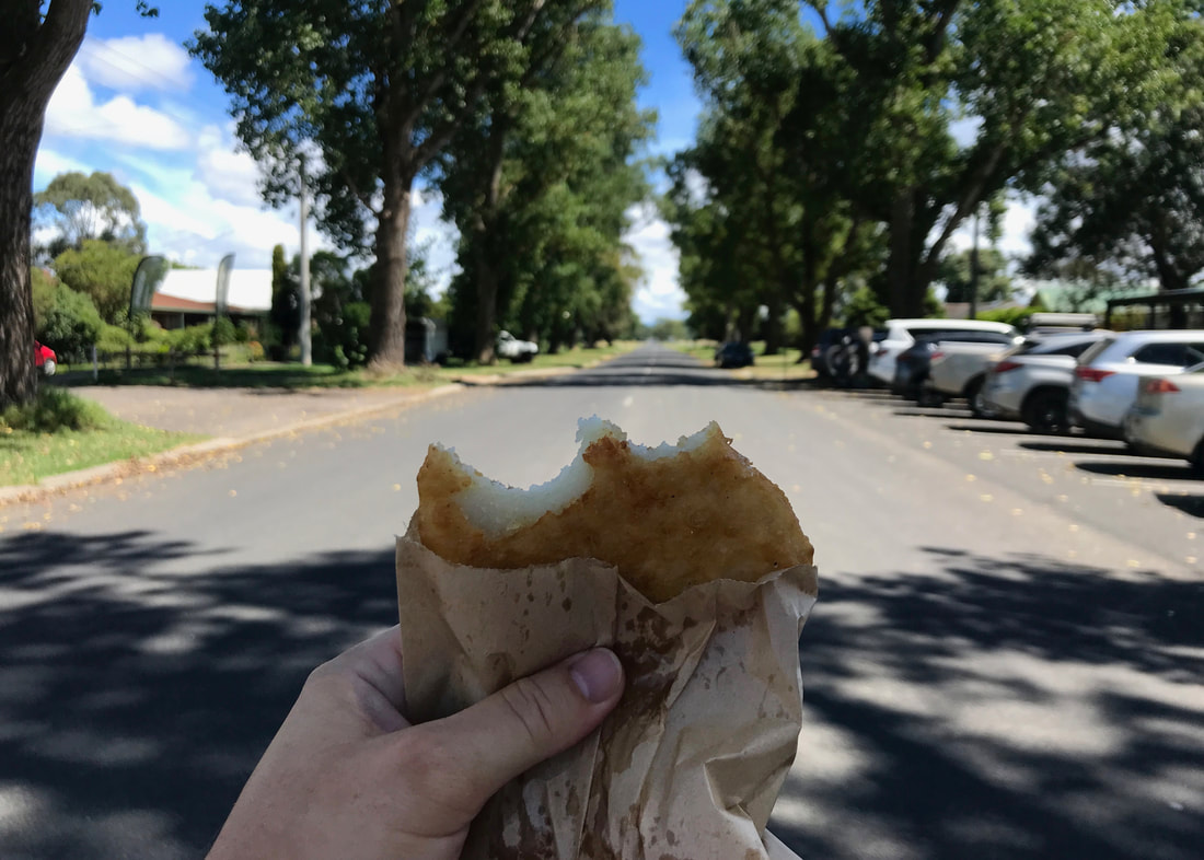
Sustenance! All hail the Tinamba General Store!
This walk moves through Brayakaulung (Gunaikurnai) Country. As with all of so-called Australia, this always was, and always will be, Aboriginal land.


 RSS Feed
